bobspirko.ca | Home | Canada Trips | US Trips | Hiking | Snowshoeing | MAP | About
North Castle
Castle Provincial Park, Alberta
May 17, 2008
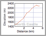
Distance: 10.8 km (6.7 mi)
Cumulative Elevation Gain: 871 m (2858 ft)
North Castle may be a mediocre peak on Windsor Ridge, but it’s well-positioned to view outstanding scenery. To reach it, the west ridge appears to be the best route for a spring ascent.
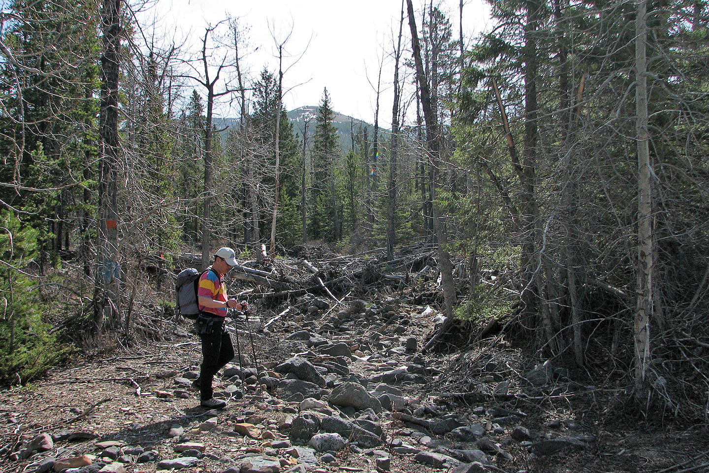
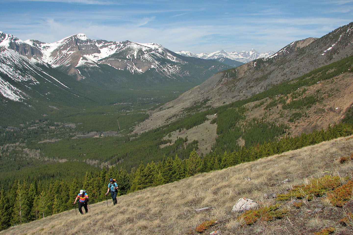
To get there, we needed to drive down the South Castle River access road. I have taken my car as far as the Whistler Lookout trailhead, but beyond that, the road deteriorates. The logical start is about 4 km past the Whistler Lookout trailhead, after the second creek crossing (970648).
That 4 km section of road could be hiked or biked, but Sonny Bou was able to drive the distance in his SUV. After parking at the second creek, Sonny, Dinah and I started up the wooded slope.
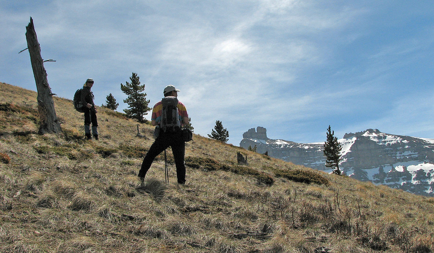
There was little undergrowth and deadfall so we made good time. Along the way, I spotted a red fox that watched me before disappearing into the trees.
We left the trees and started up a grassy slope. Castle Peak soon appeared, and throughout our trip, our eyes were drawn to this spectacular pair of rock points. But the colours of Mount Gladstone and other peaks also vied for our attention.
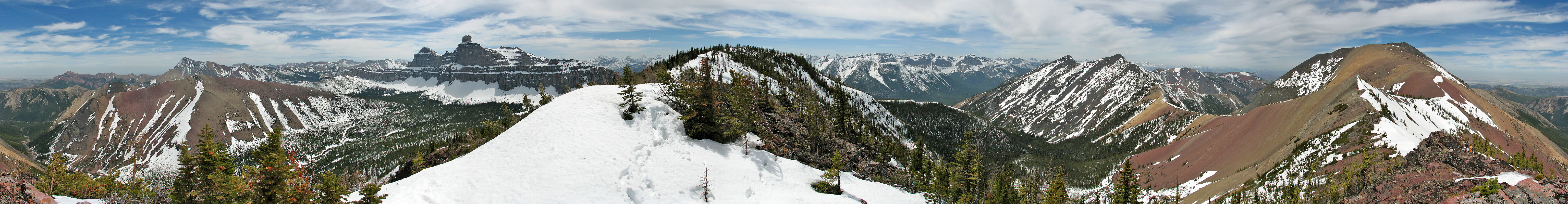
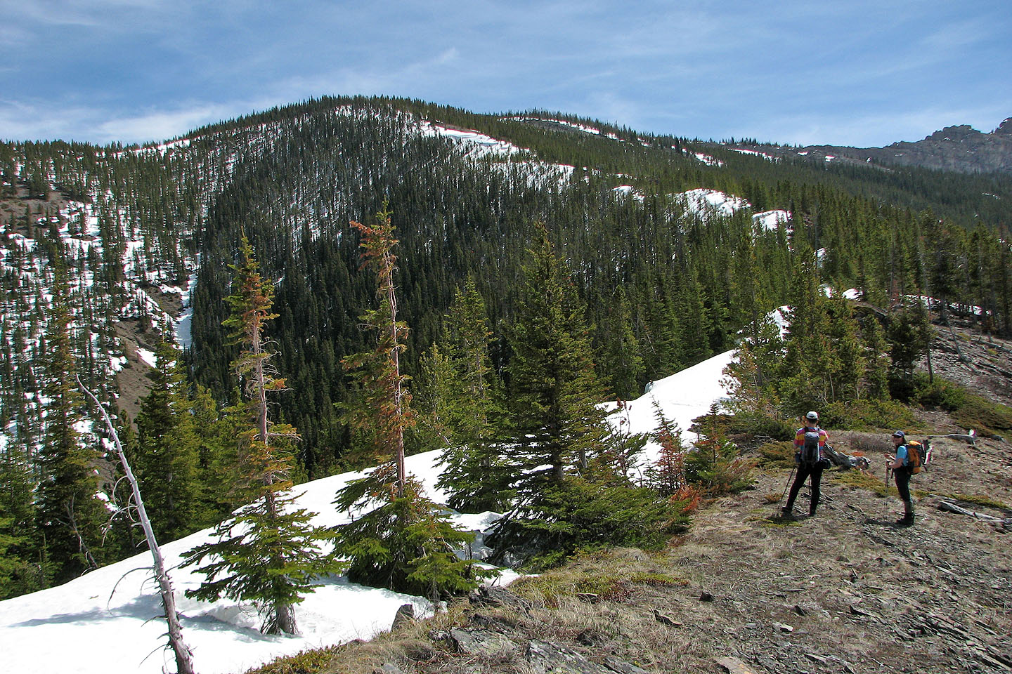
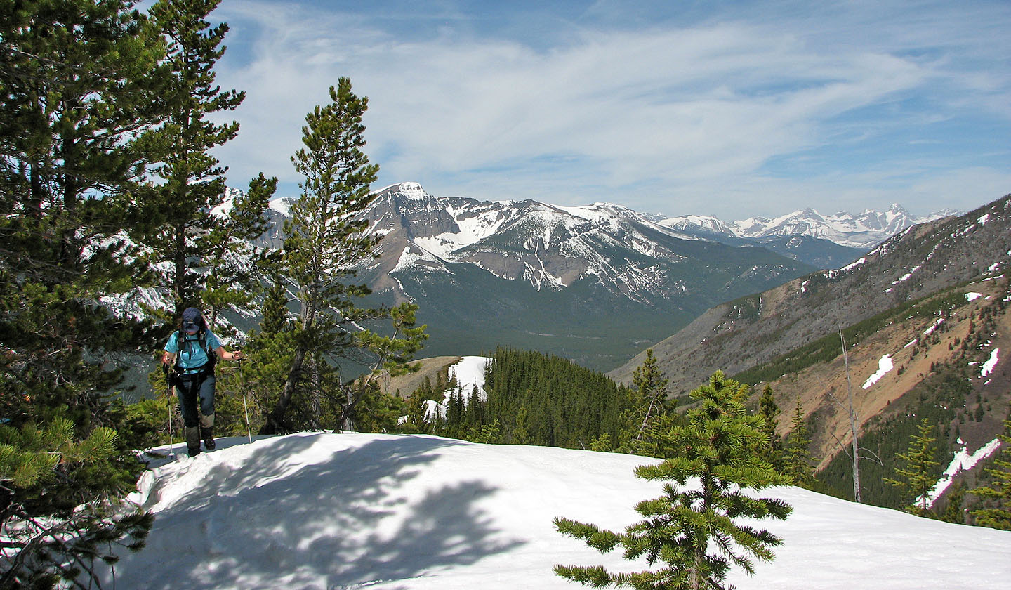
The crest above the grassy slopes led to a treed, snow-covered ridge. For the next kilometre, we hiked mostly on firm snow to the summit ridge. The south end of this ridge was bare of trees, and we treated ourselves to the views before continuing to the treed summit.
After reaching the summit, we hiked north along the ridge to a prominence next to Mount Gladstone. It was mostly a hike to the summit of North Castle, but now we found ourselves downclimbing a couple of cliff bands to reach a minor point on the north end of the summit ridge. From here, one might be tempted to bag Mount Gladstone, but Dinah and I had already done it, and Sonny was having trouble with blisters. So we turned around and headed back the same way.
We all enjoyed this trip. The scenery changed often and we never went far before someone – or all of us – pulled out a camera!
KML and GPX Tracks
Sonny Bou's trip report
The ascent ridge can be be seen from the creek
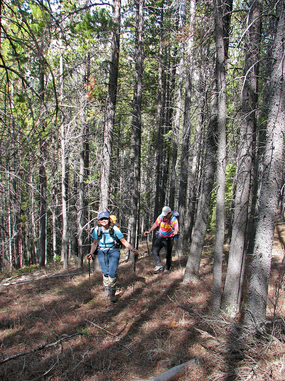
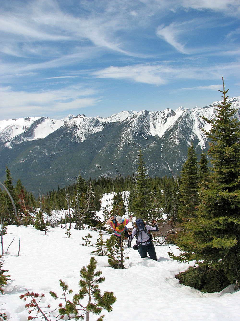
Hiking up the wooded slope
After leaving the trees, we reached a grassy slope. Castle Peak comes into view.
Looking down the valley we drove up
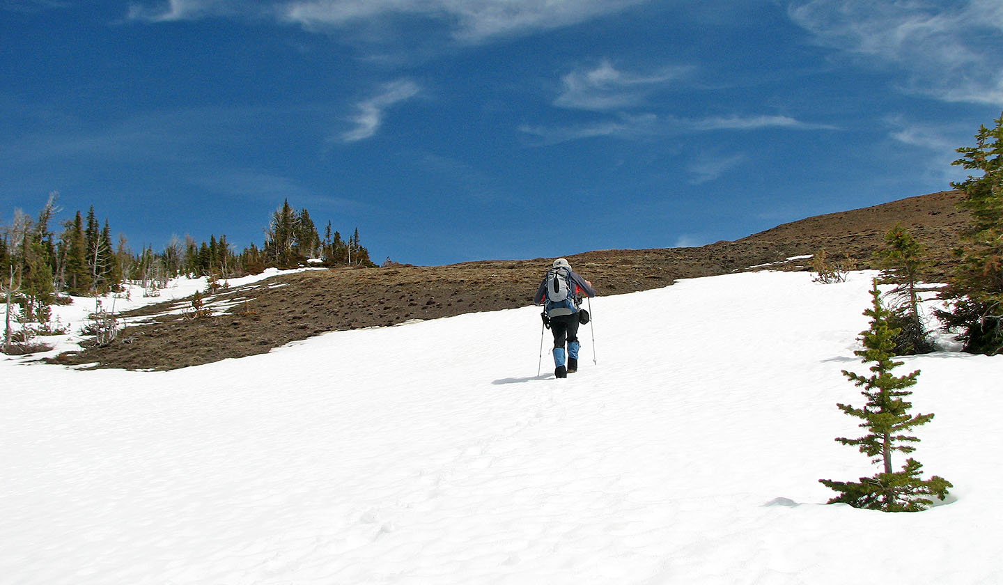
After topping out on the grassy slope, we'll follow the snow-covered ridge (summit is hidden)
For the most part, we hiked on firm snow. Behind is the grassy slope we came up.
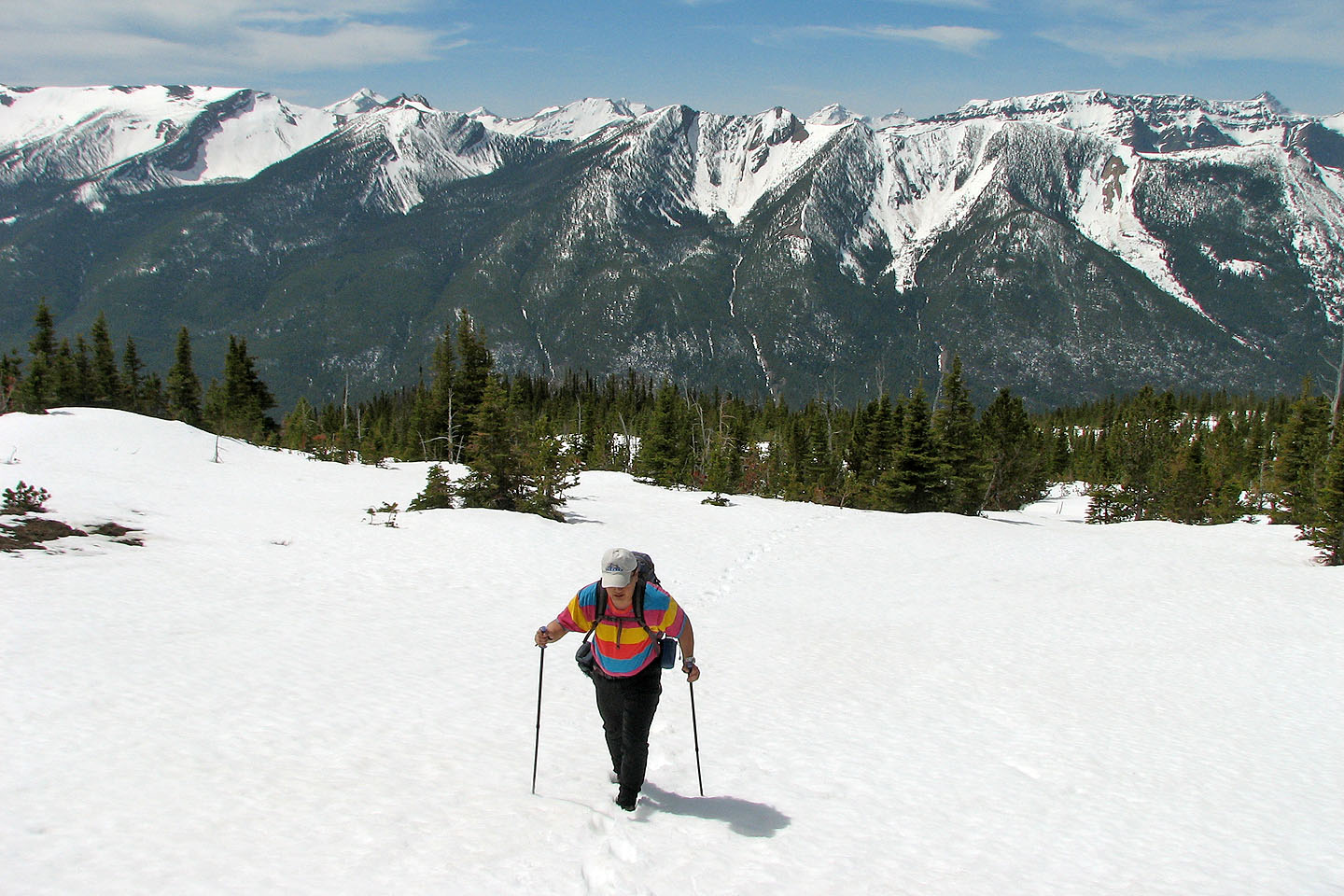
Still lots of snow in some places!
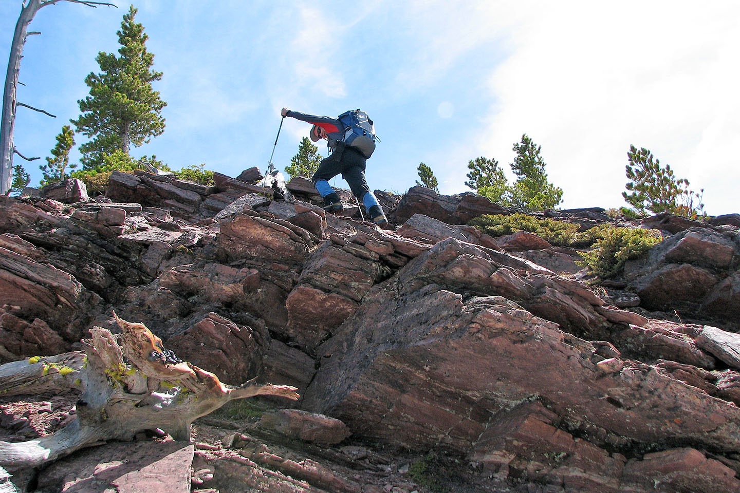
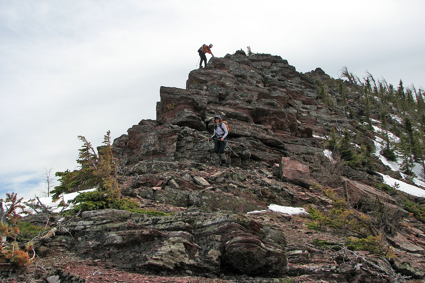
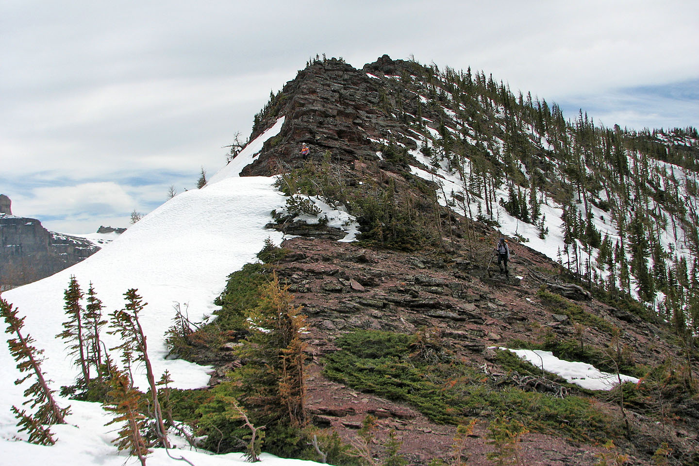
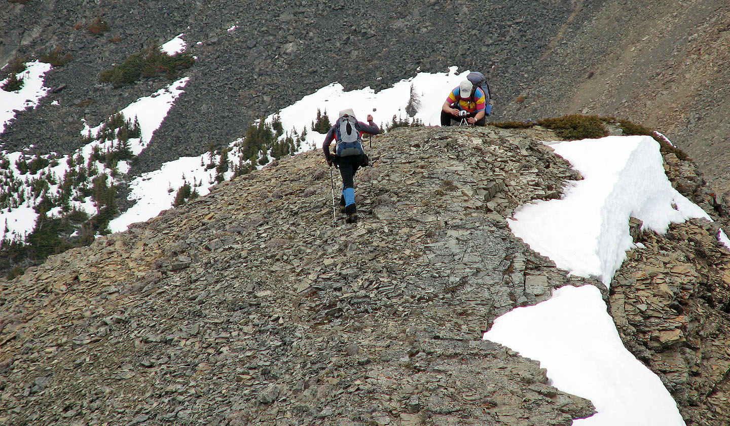
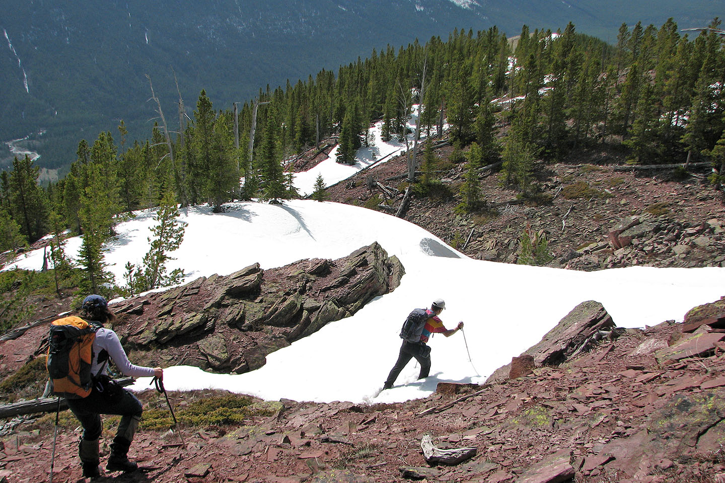
We did a bit of scrambling to get up these rocks
West Castle on the left
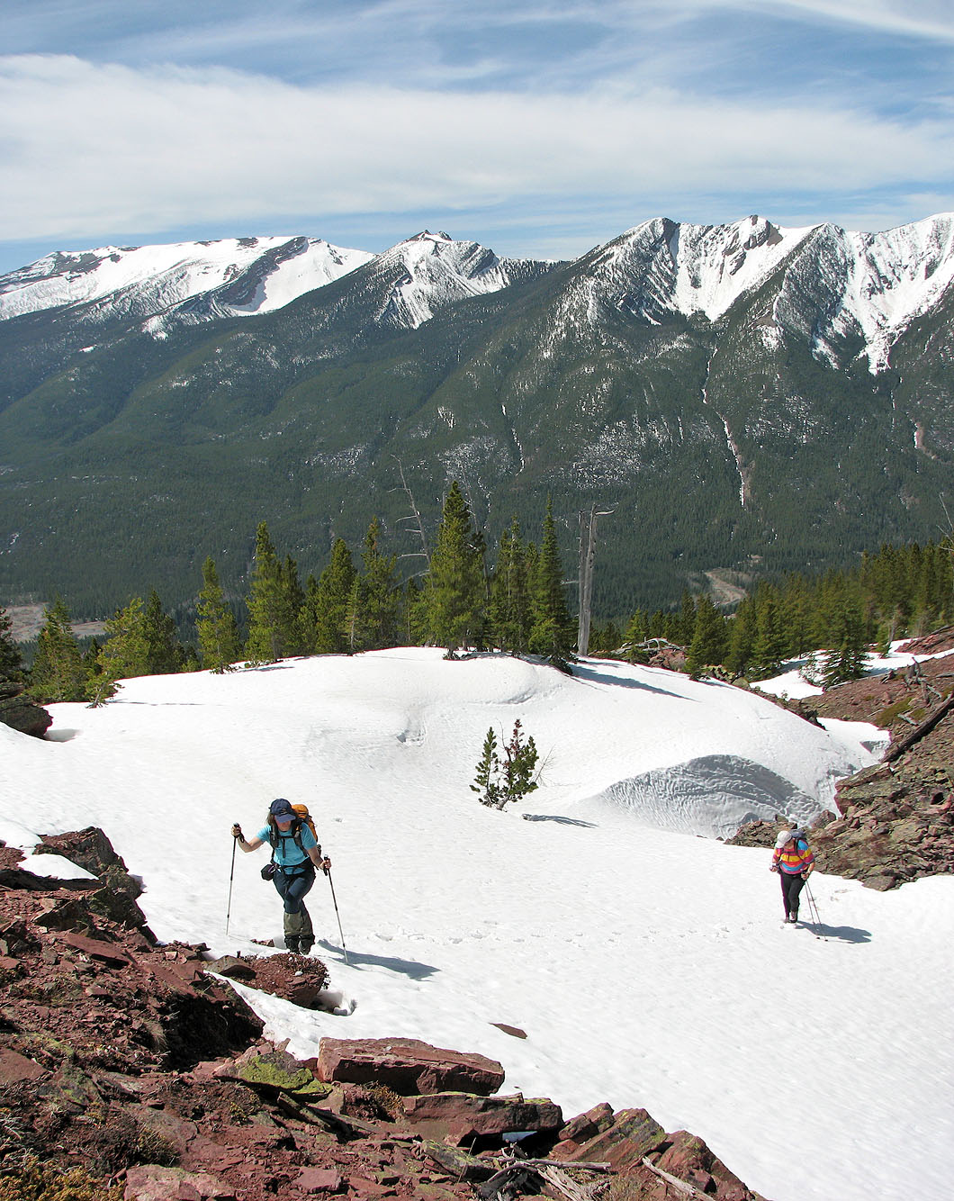
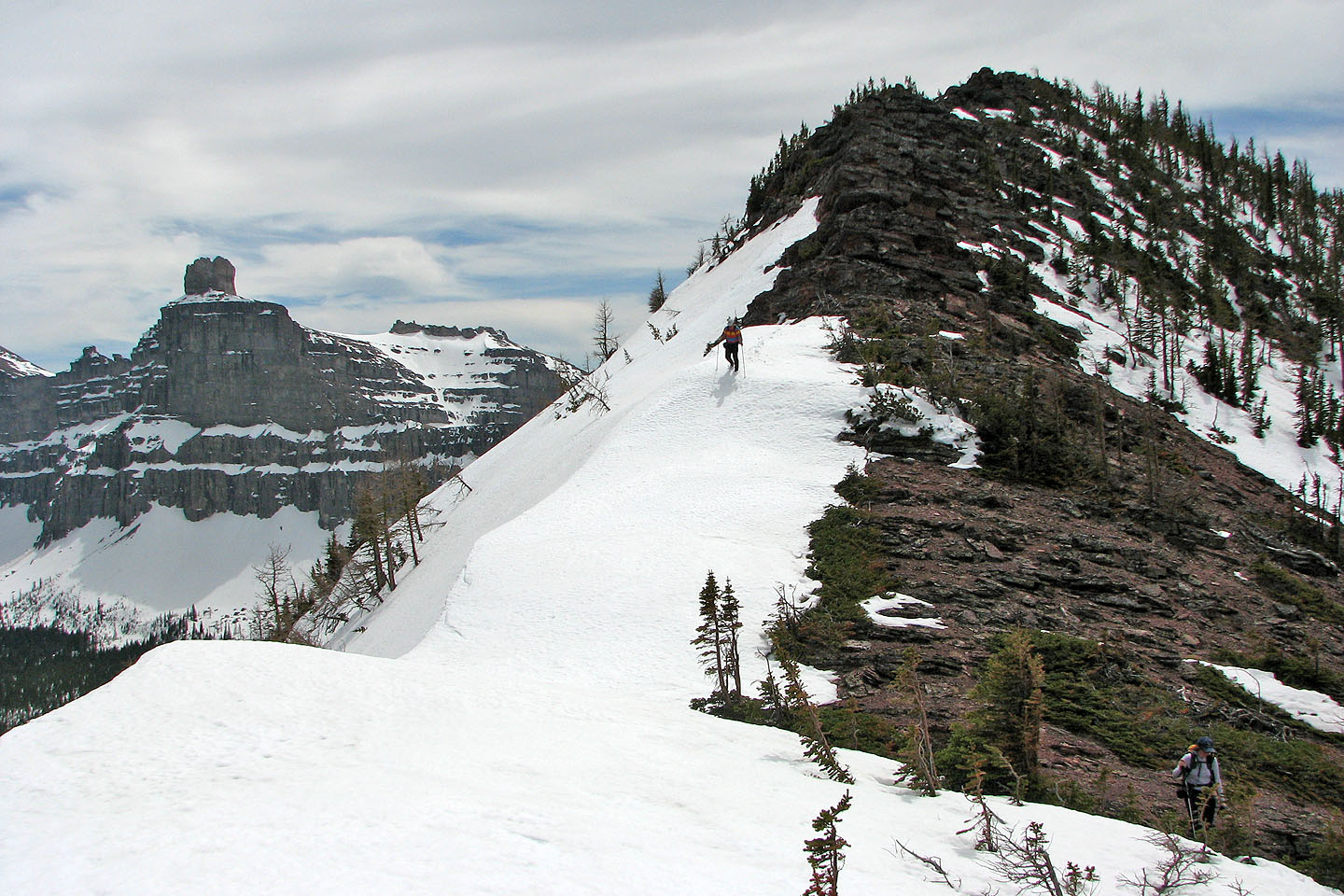
We hiked a long stretch of snow on the broad ridge
The snow held firm except at the edges
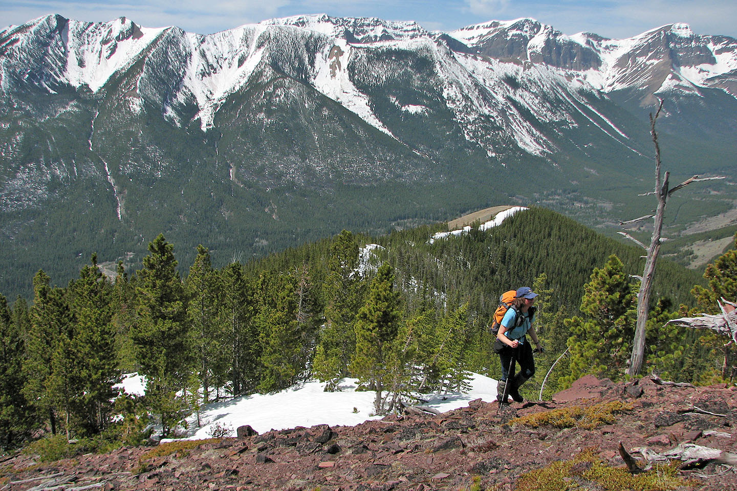
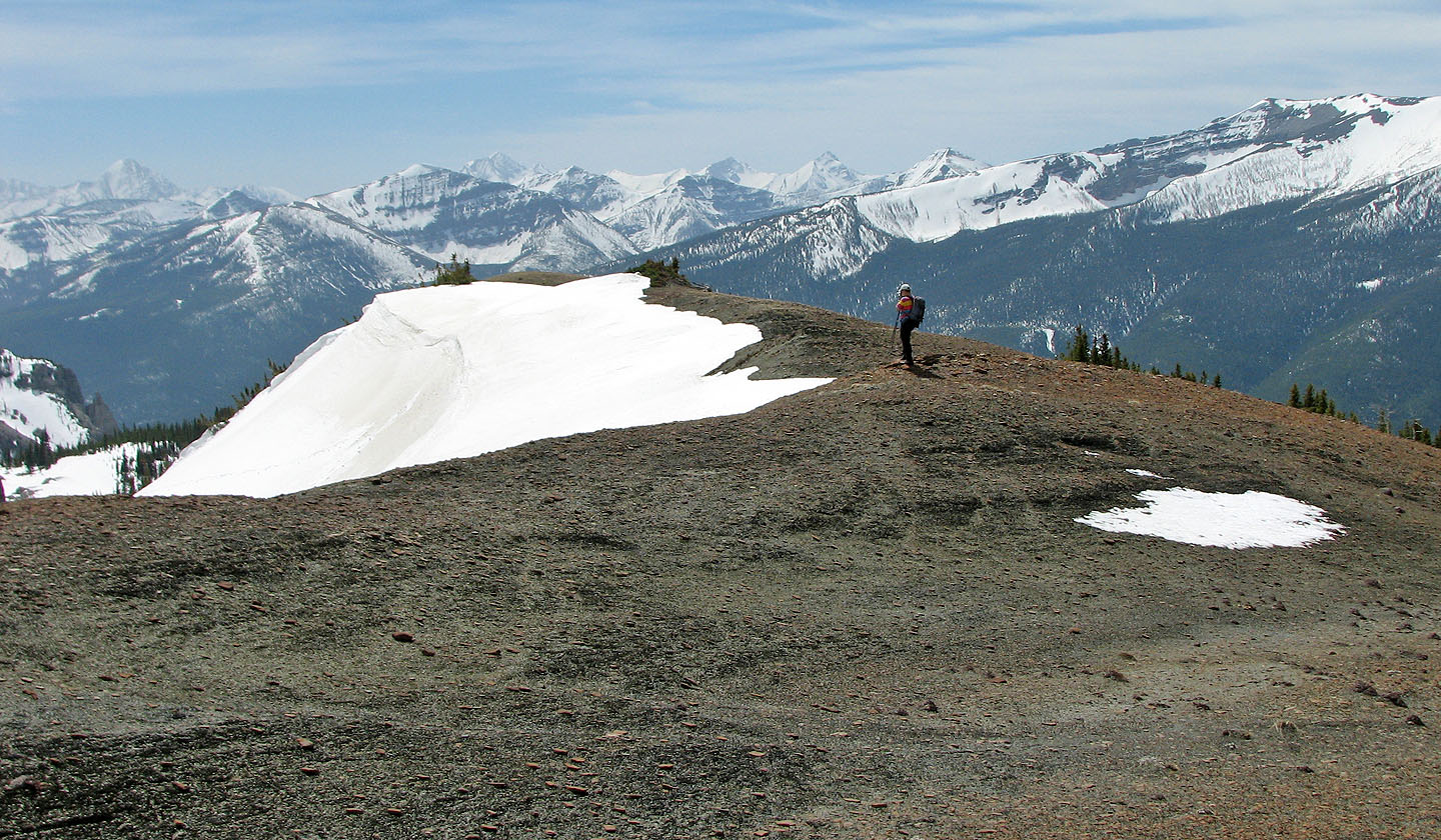
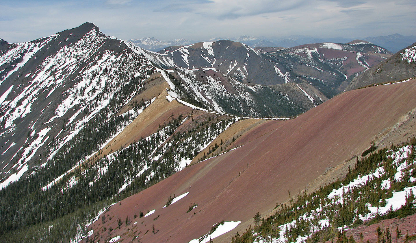
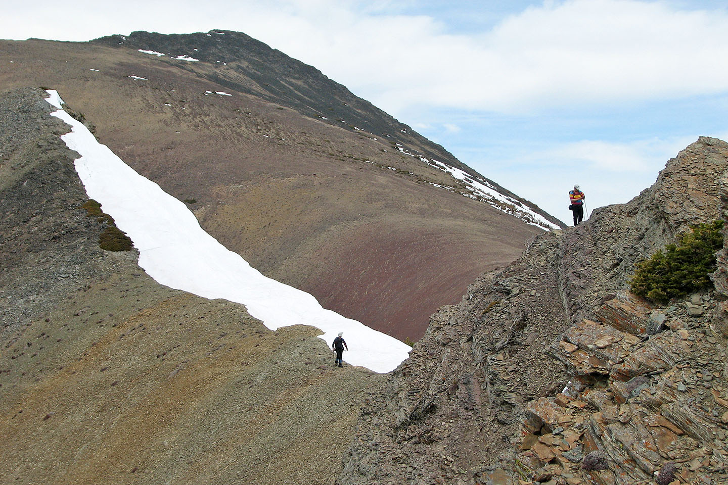
We finally reached the bare south shoulder which leads left to the summit
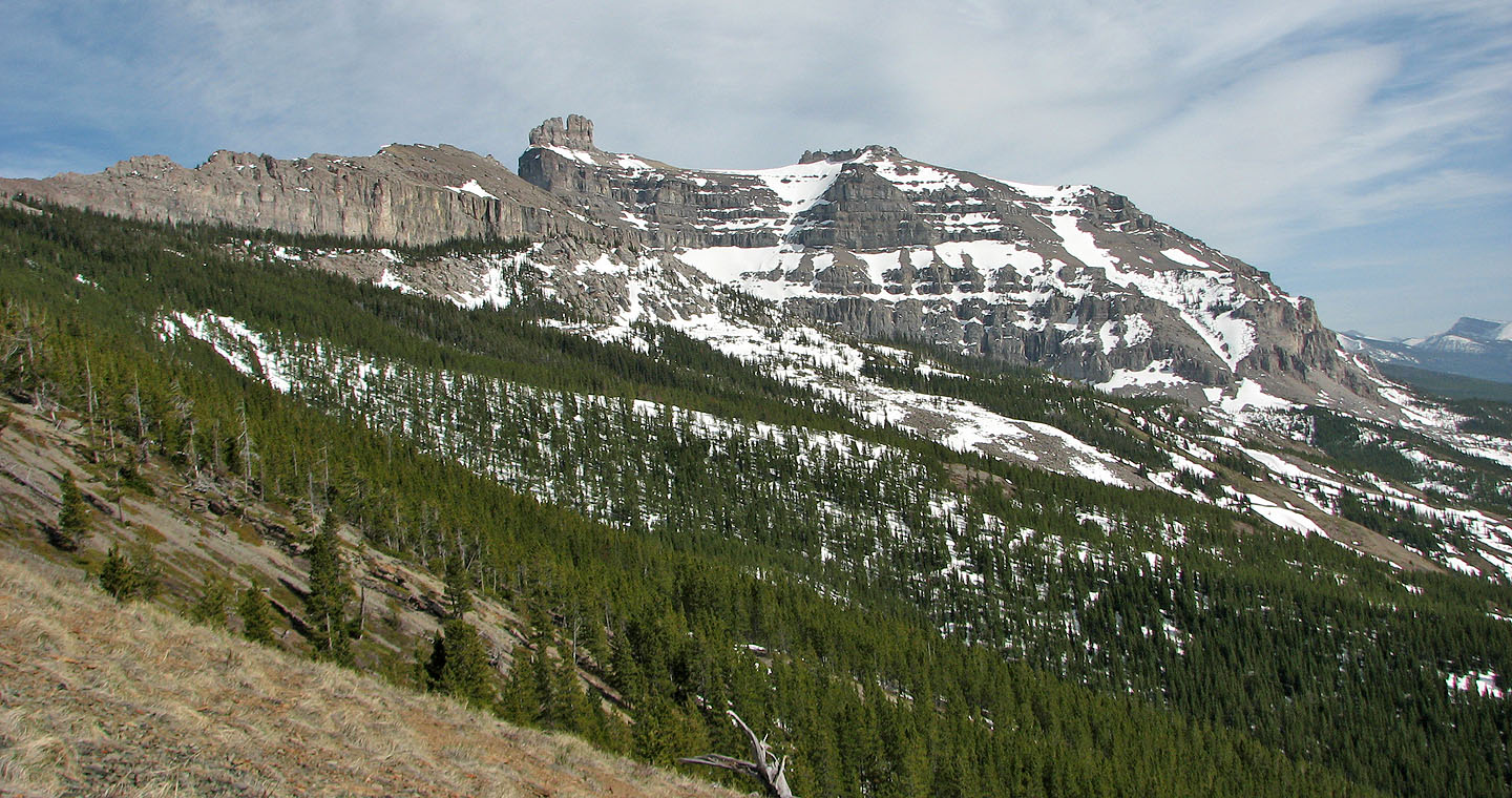
 South end of Lys Ridge on the left (mouse over)
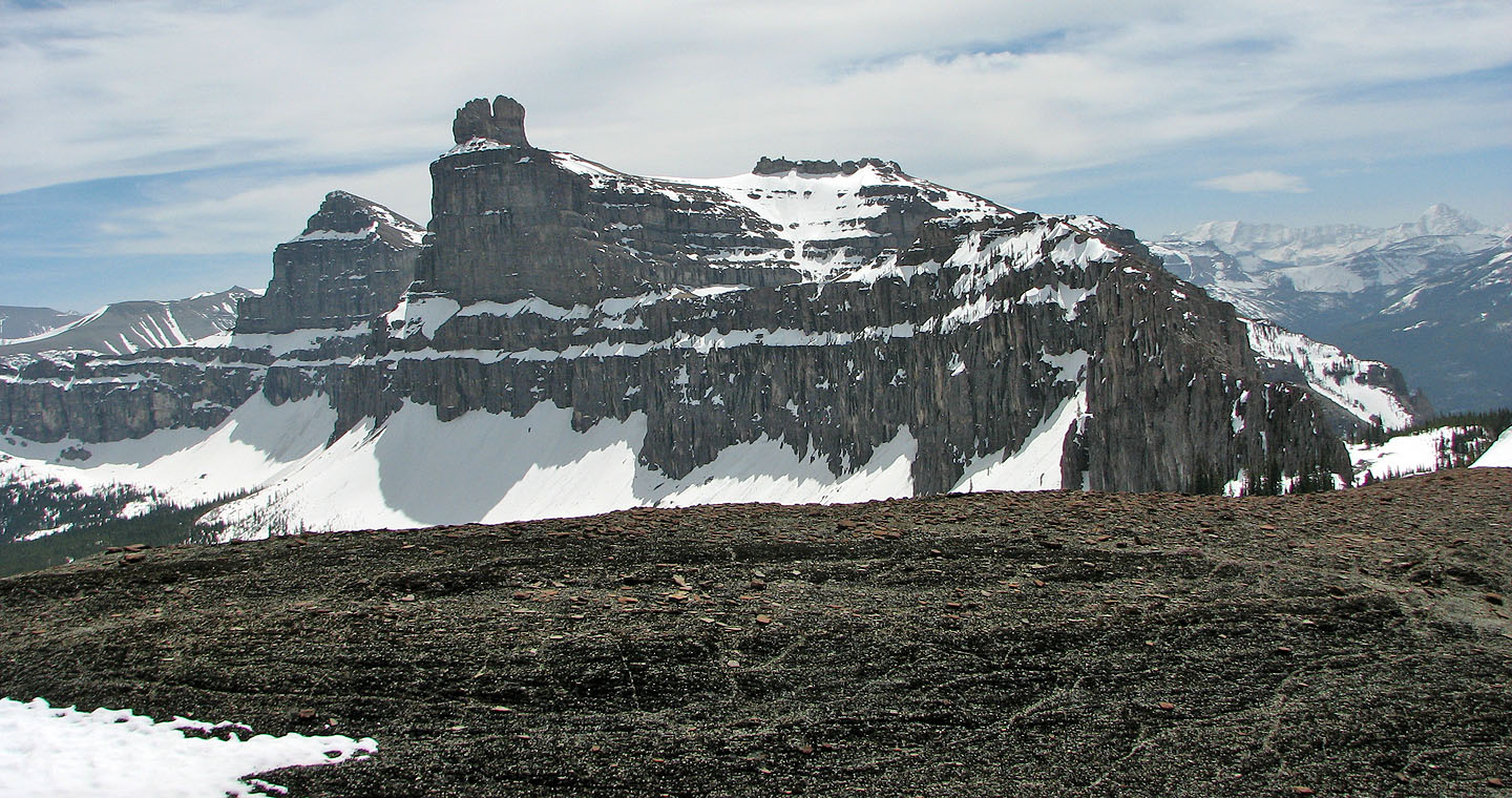
Castle Peak
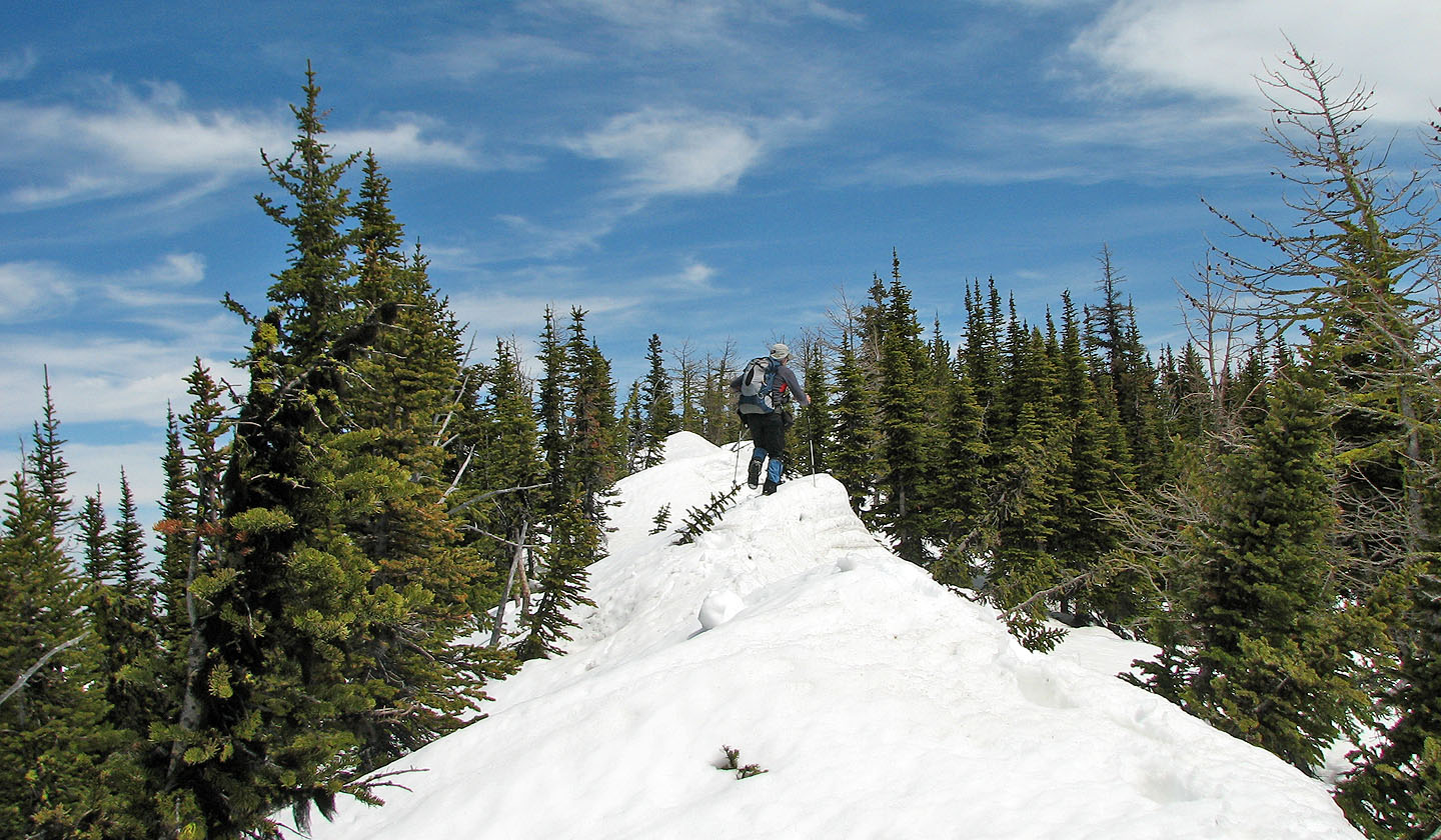
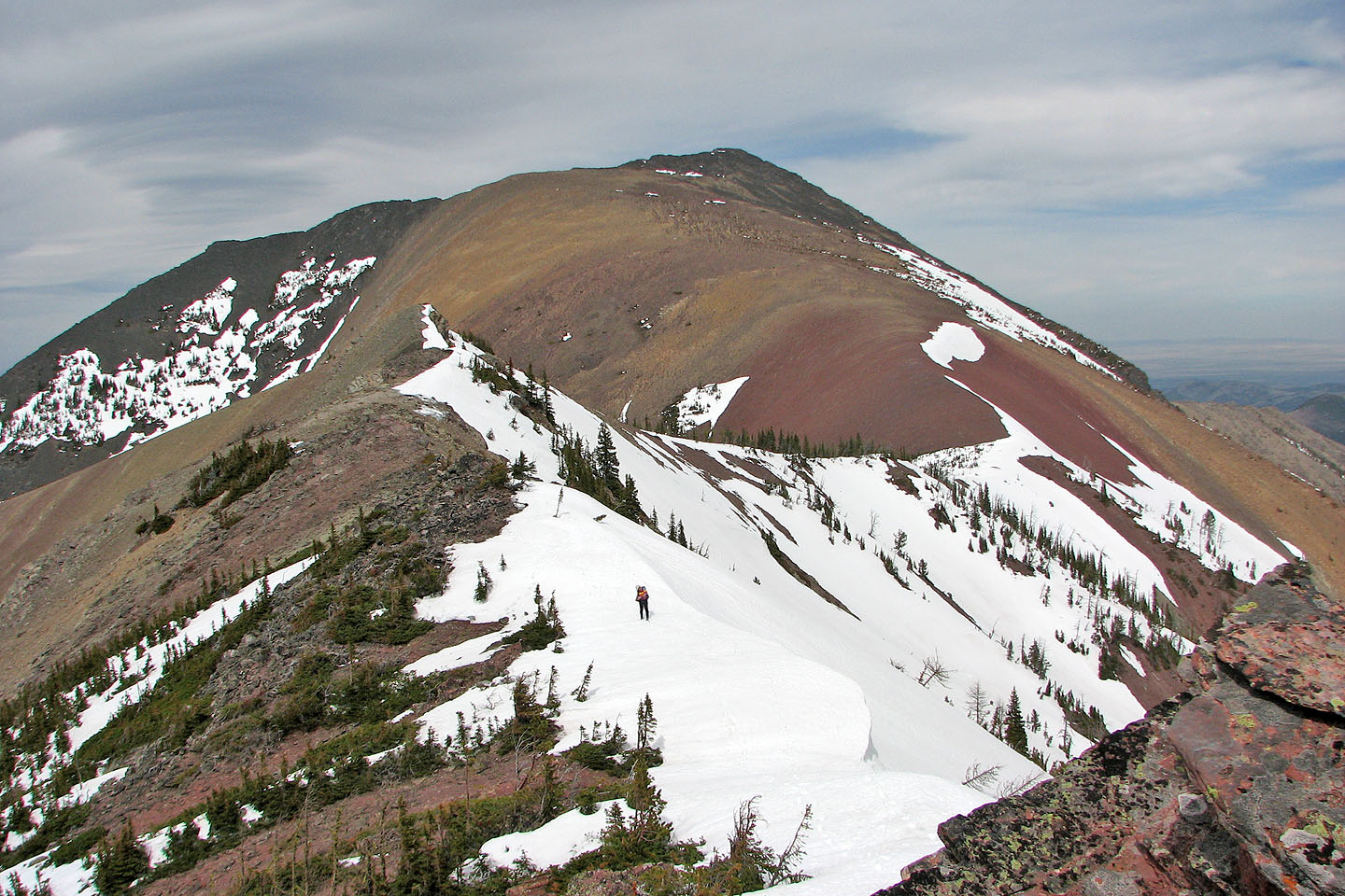
Following the snow-covered ridge to the summit
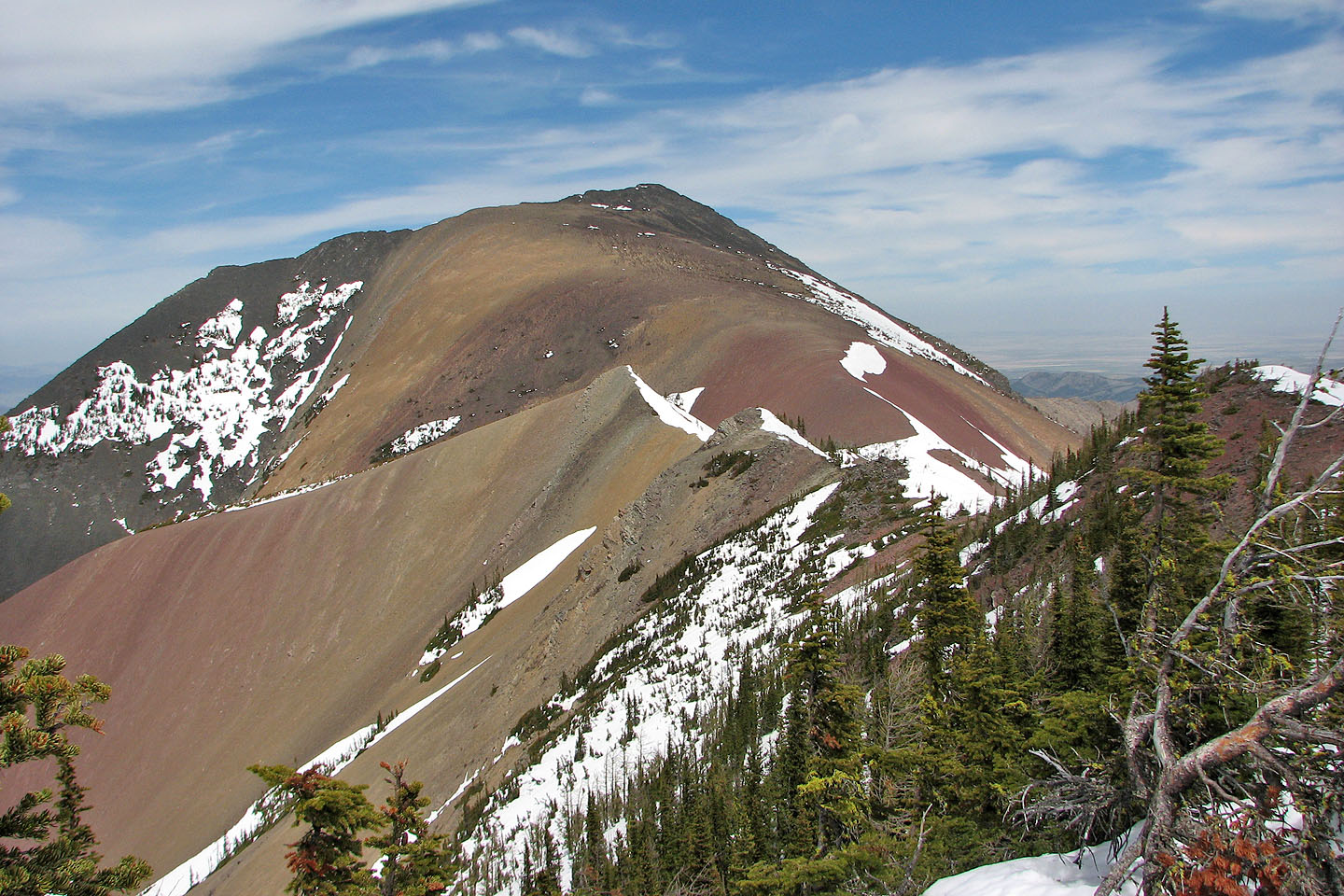
Mount Gladstone from the summit ridge
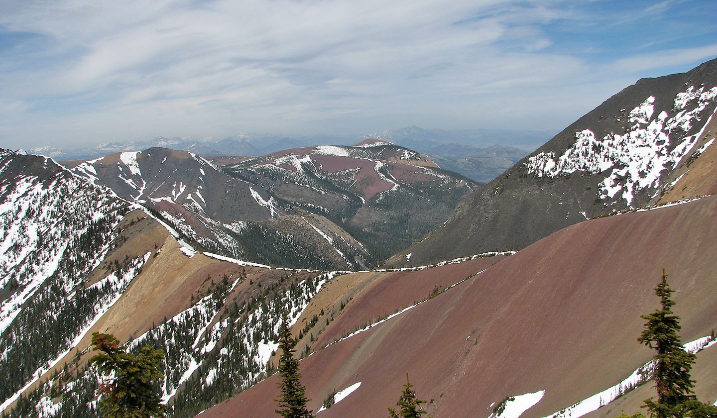
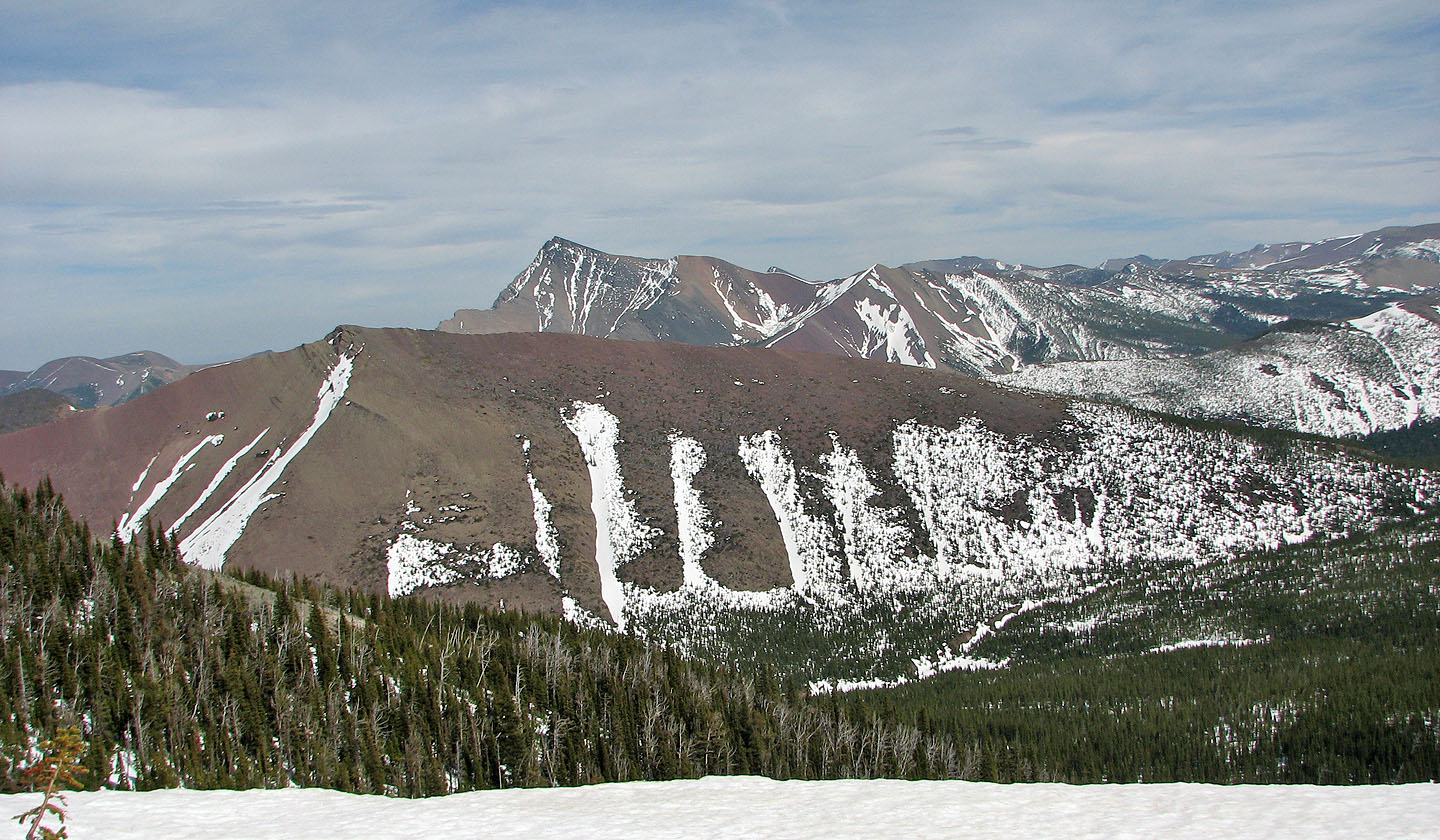
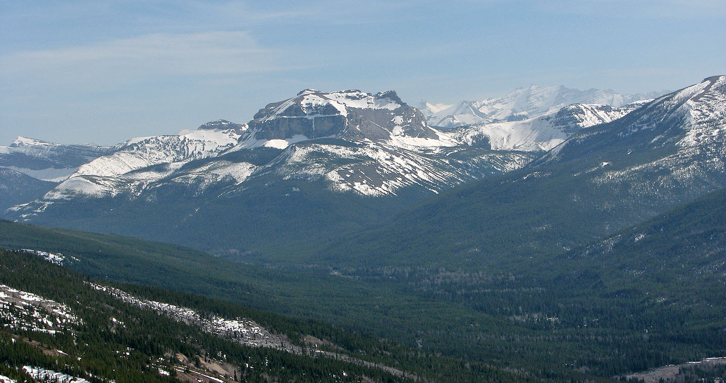
Table Mountain in the centre
The sharp point is the summit of
Victoria Ridge
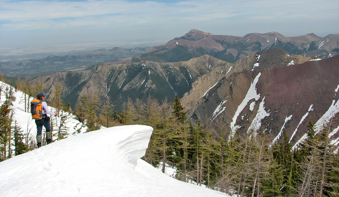
Dinah stops by a cornice on the summit ridge to look at
Prairie Bluff in the distance
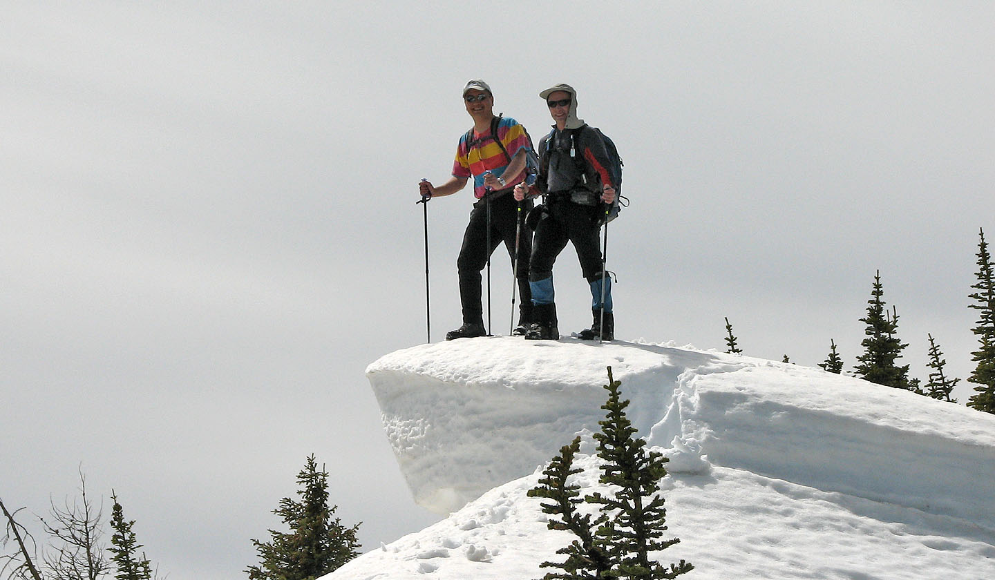 Sonny and I pause on the cornice (mouse over)
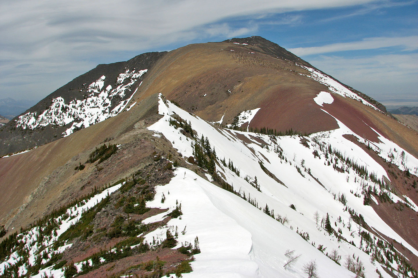
We headed for the point left of centre. Mount Gladstone lies behind it.
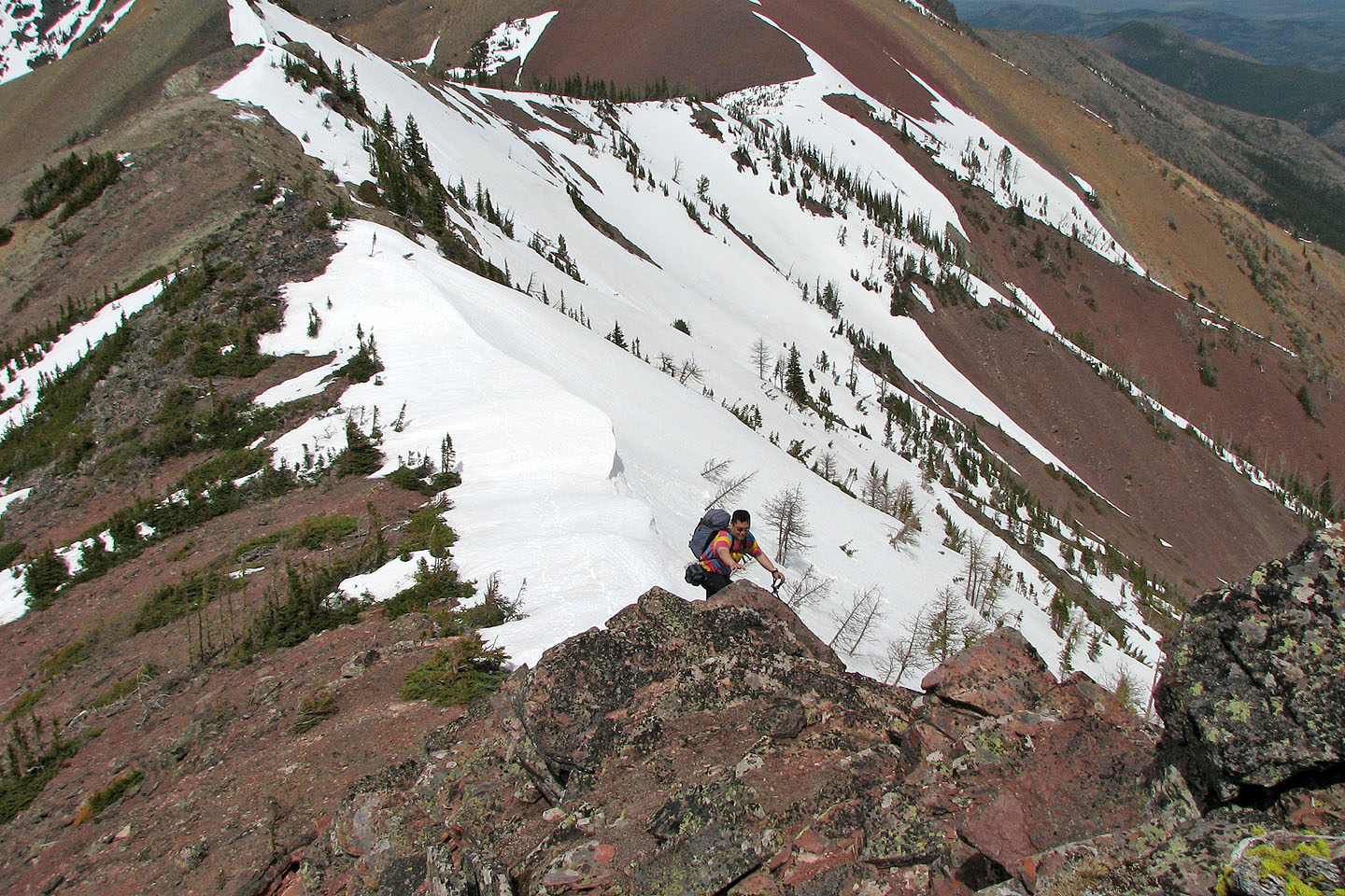
Scrambling down the ridge
Along the way we scrambled down a short cliff band
Sonny found the snow easier to descend here. Dinah is on the bottom right.
This colourful col connects an unnamed peak (left) to Mount Gladstone
Sonny heads to the point
Sonny sets up his camera as I reached the point
Sonny and I head back from the point (left) that we reached
Sonny reaches for a rock as we scrambled back up
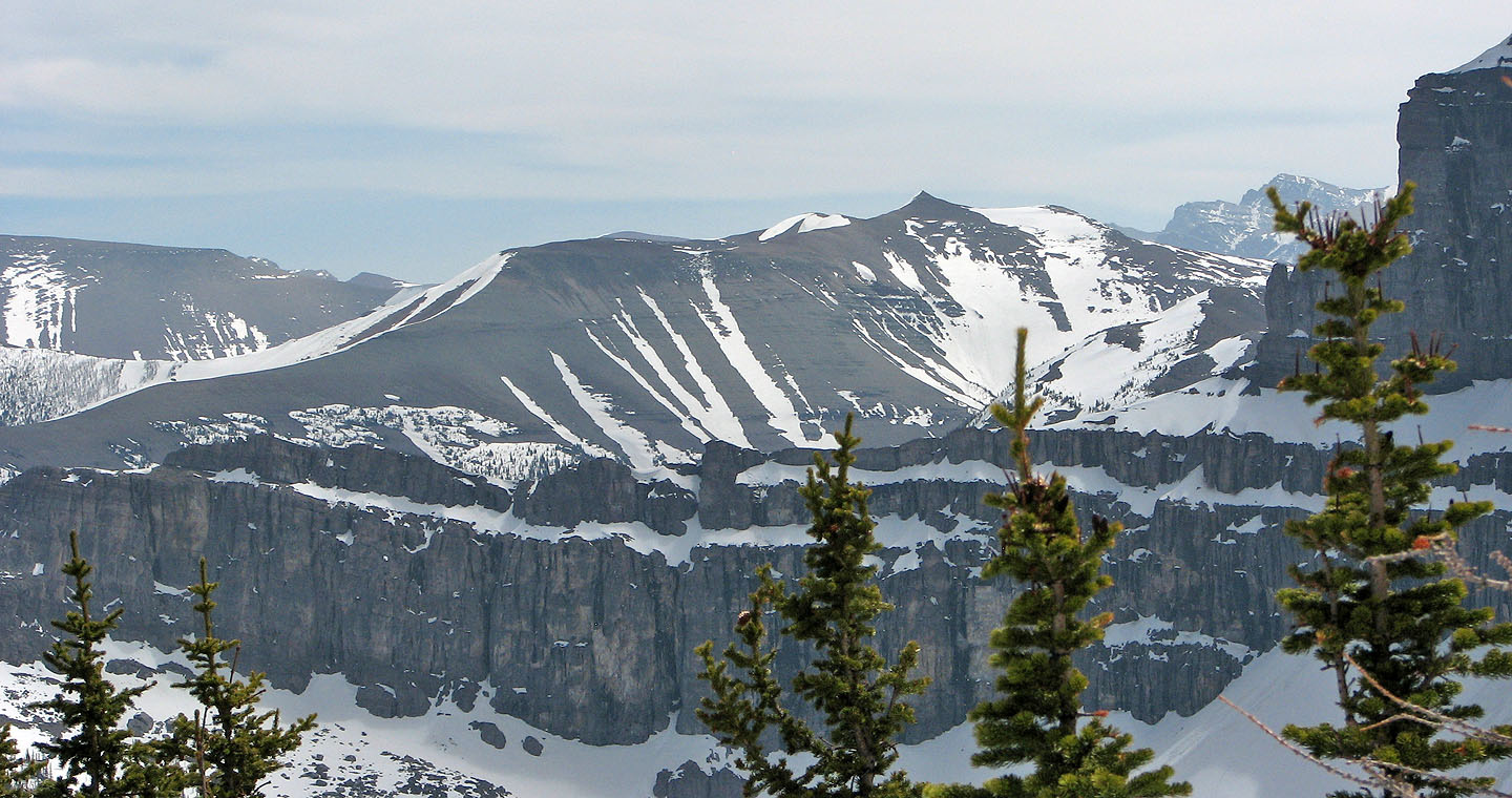
 Victoria Peak (mouse over for a close-up)
Heading back down
 Last look at Castle Peak from the grassy slope (mouse over)

82 G/8 Beaver Mine