bobspirko.ca | Home | Canada Trips | US Trips | Hiking | Snowshoeing | MAP | About
Mount Gladstone
Castle Provincial Park, Alberta
October 8, 2005
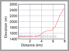
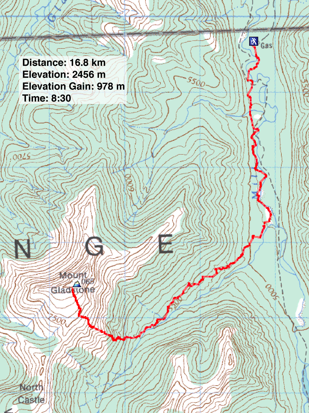
Distance: 16.8 km (10.4 mi)
Cumulative Elevation Gain: 1051 m (3448 ft)
Dinah Kruze and I joined Andrew Nugara and Linda Breton in ascending Mount Gladstone. Thankfully Linda had both researched and searched for the route up this peak; we had only to follow her lead. This was her third try up Gladstone and her route was fine. Nor could we have picked a nicer fall day to bag it.
Using footpaths, a horse trail and a 4x4 road – which crossed Mill Creek a few times – we eventually reached the southwest slopes of Gladstone. From there it was essentially a steep hike to the summit, although Andrew left us briefly to explore a scramble route. Coming down from the summit, we made use of a scree gully for a fast descent.
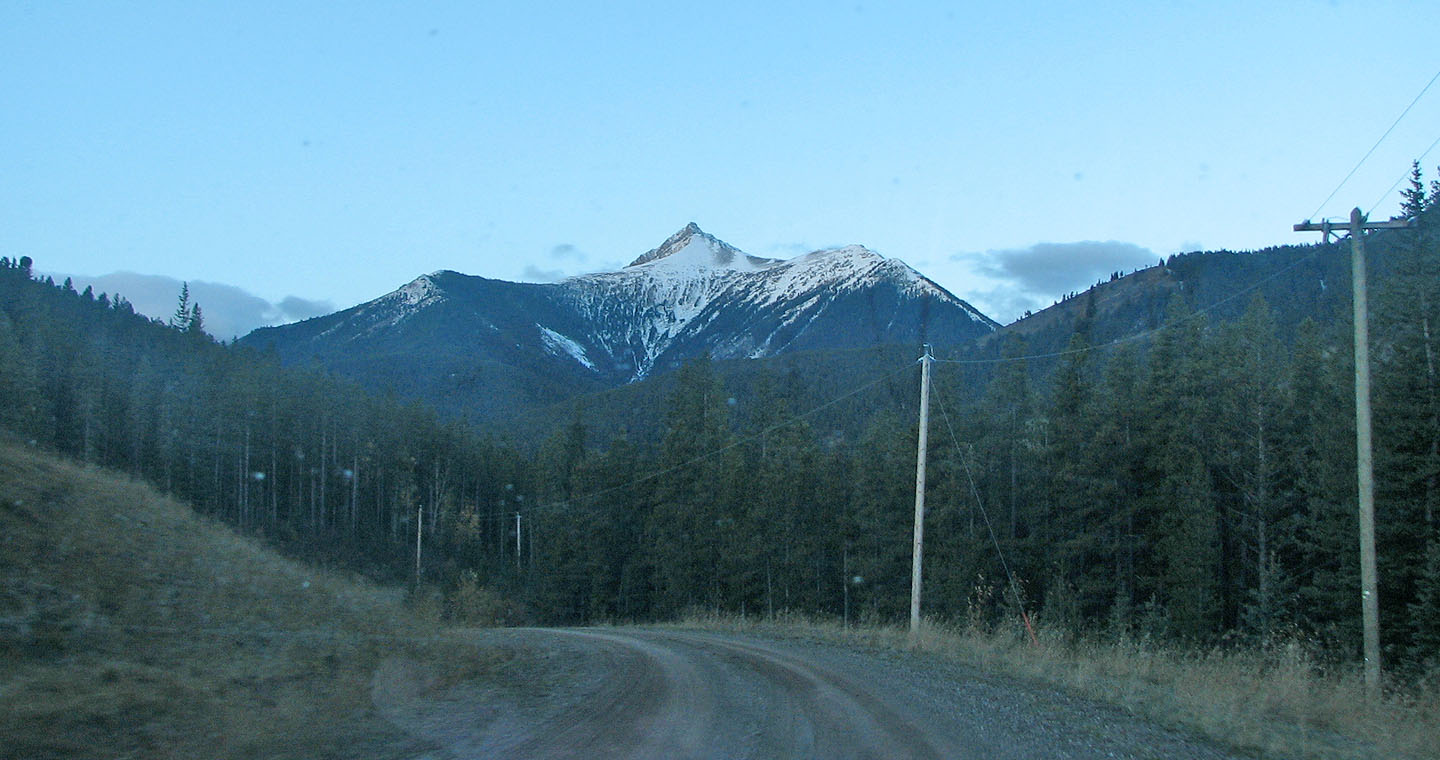
Mount Gladstone seen en route to the trailhead
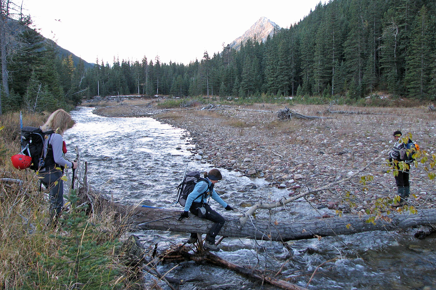
Our first crossing of Mill Creek
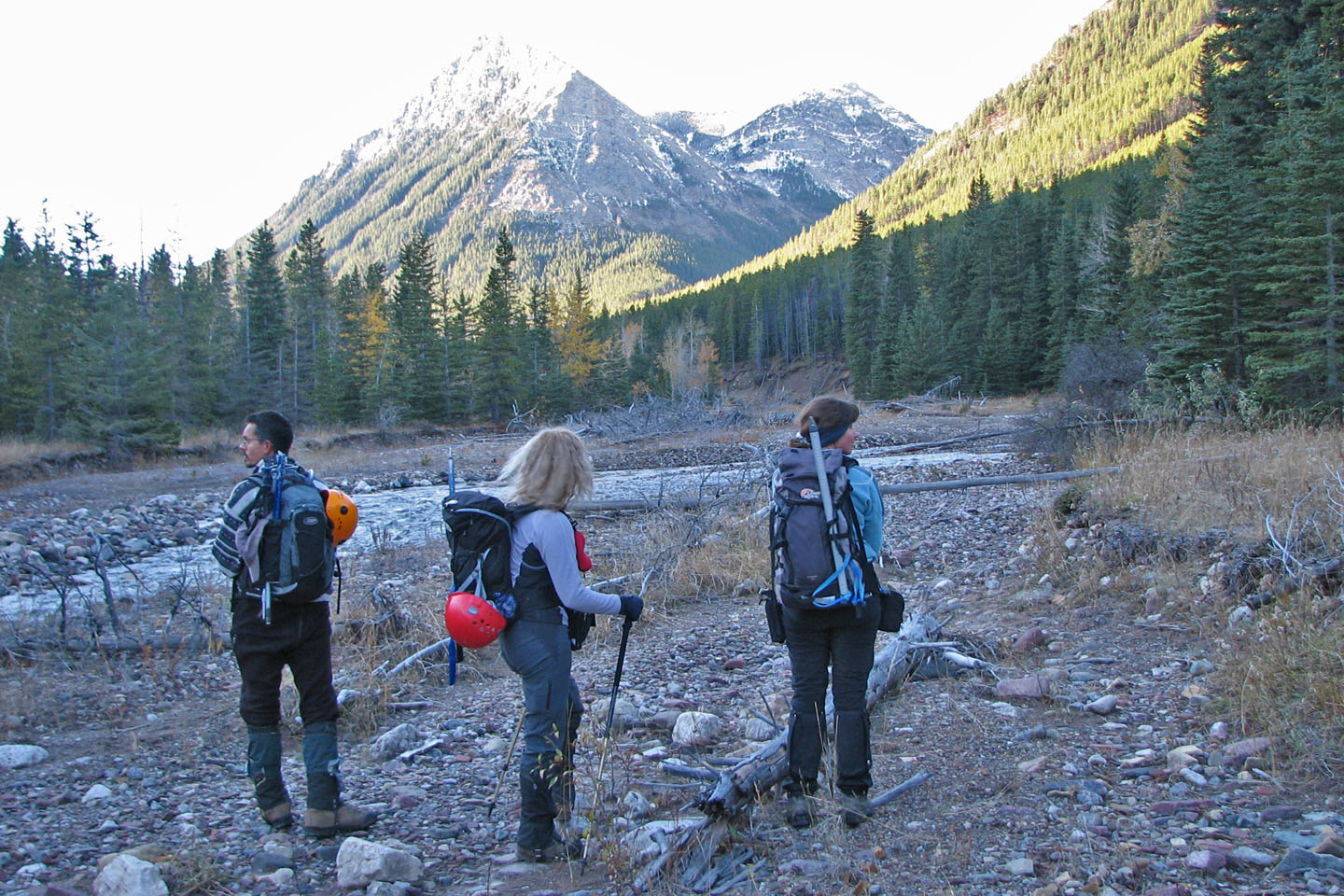
Looking for the next place to cross Mill Creek
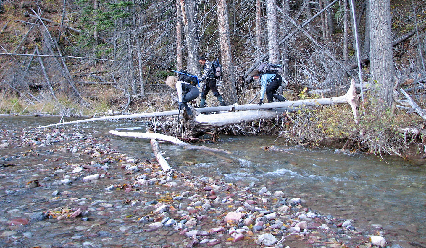
Using logs to cross the creek
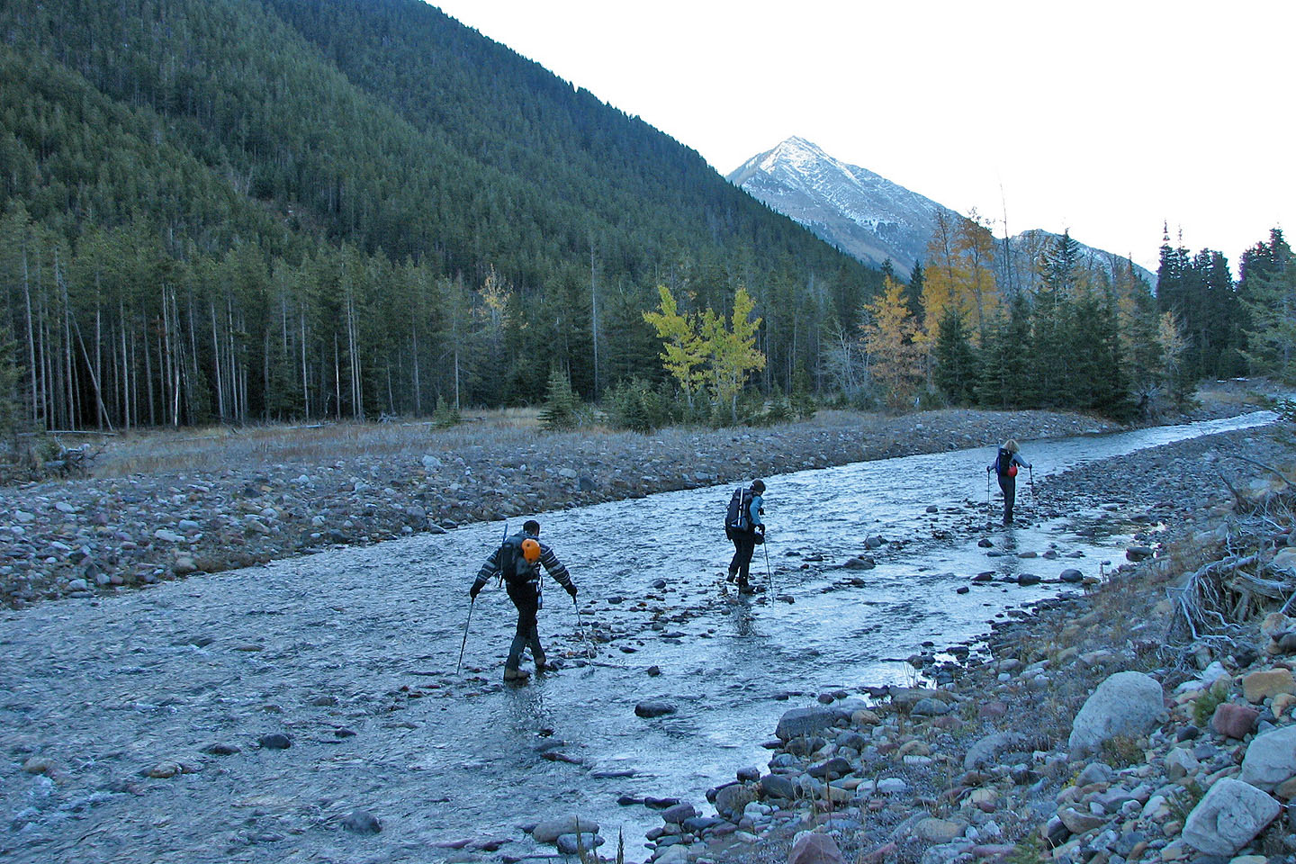
Using stepping stones to ford the creek just before the horse trail
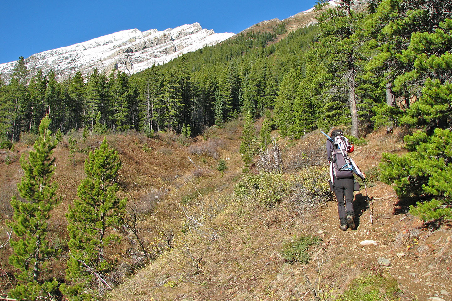
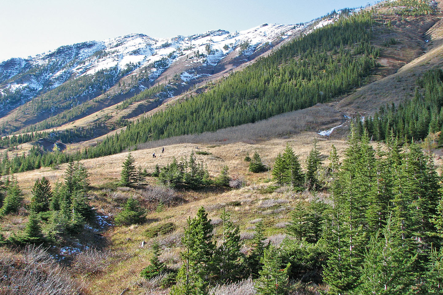
After leaving the horse trail, Mount Gladstone appeared in the distance
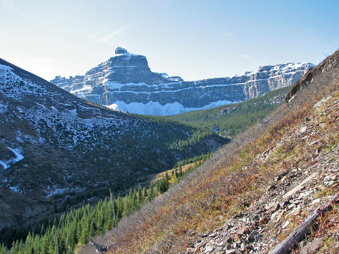
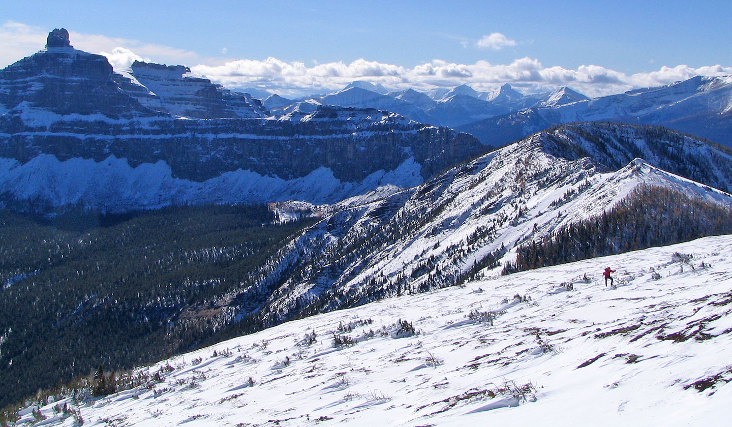
Castle Peak from the lower slopes of Mount Gladstone (mouse over for a close-up)
Linda ascends the lower slope
Dinah and Linda make their way up to the ridge
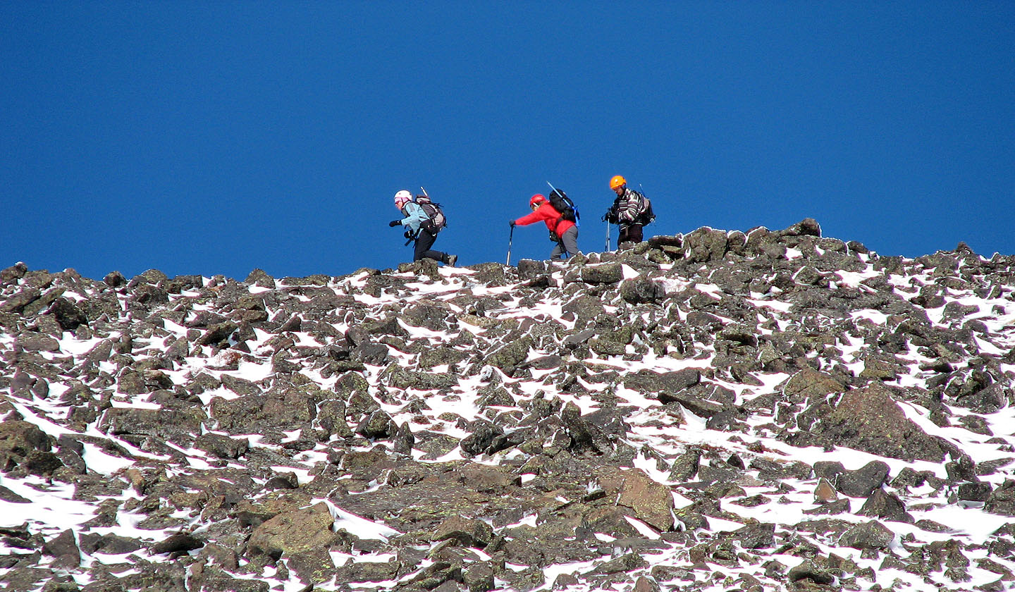
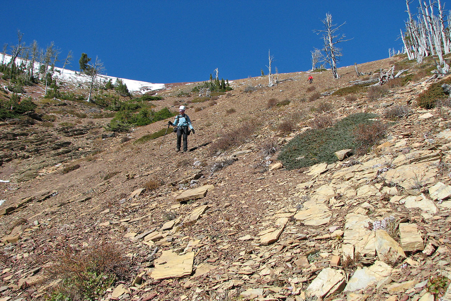
Typical terrain on the ridge ascent
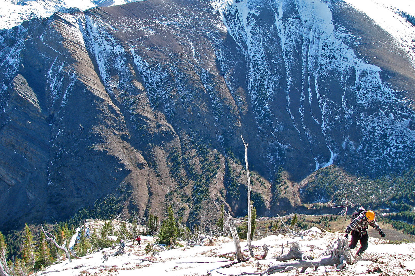
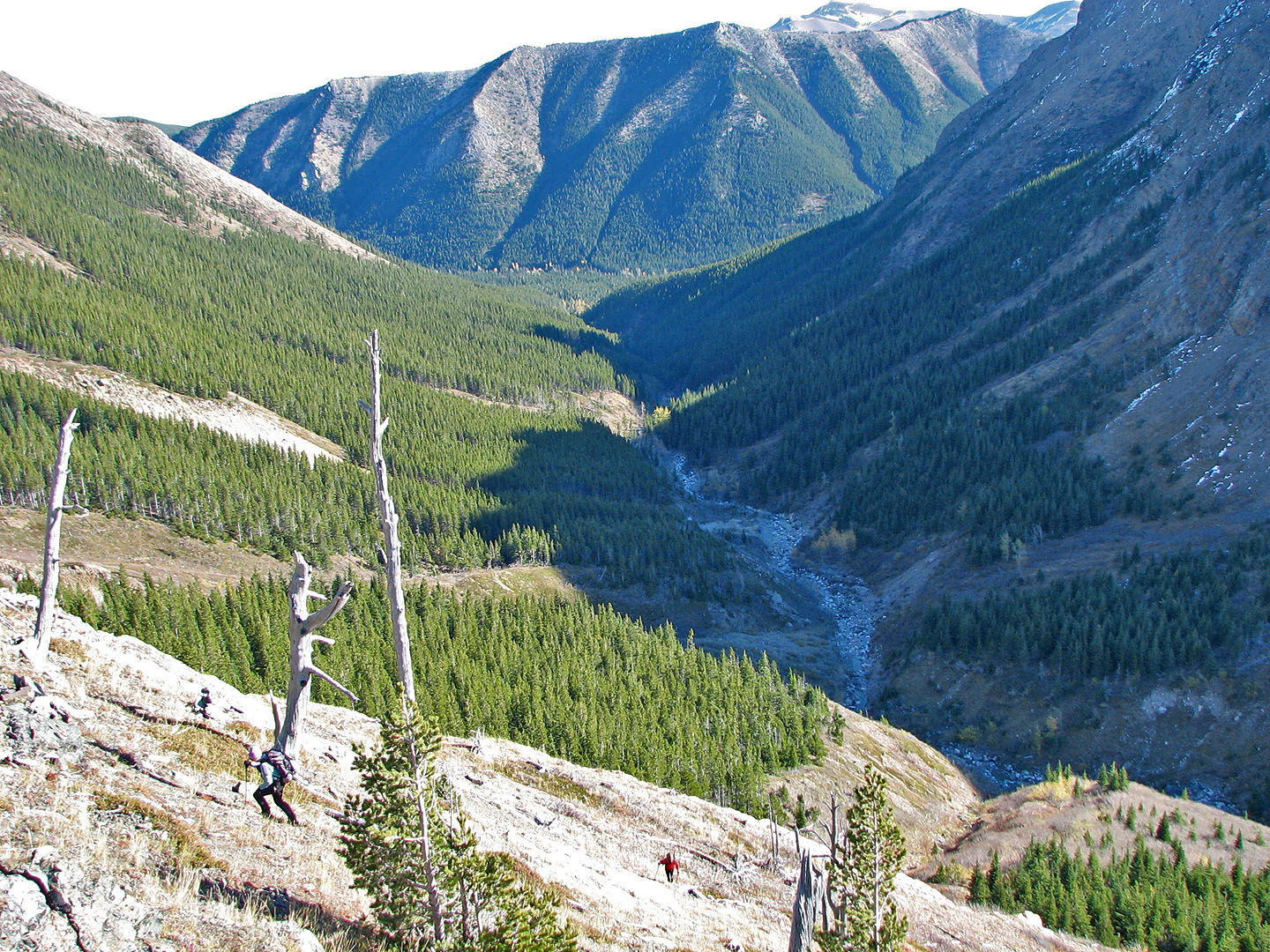
Dinah and Linda follow far below Andrew
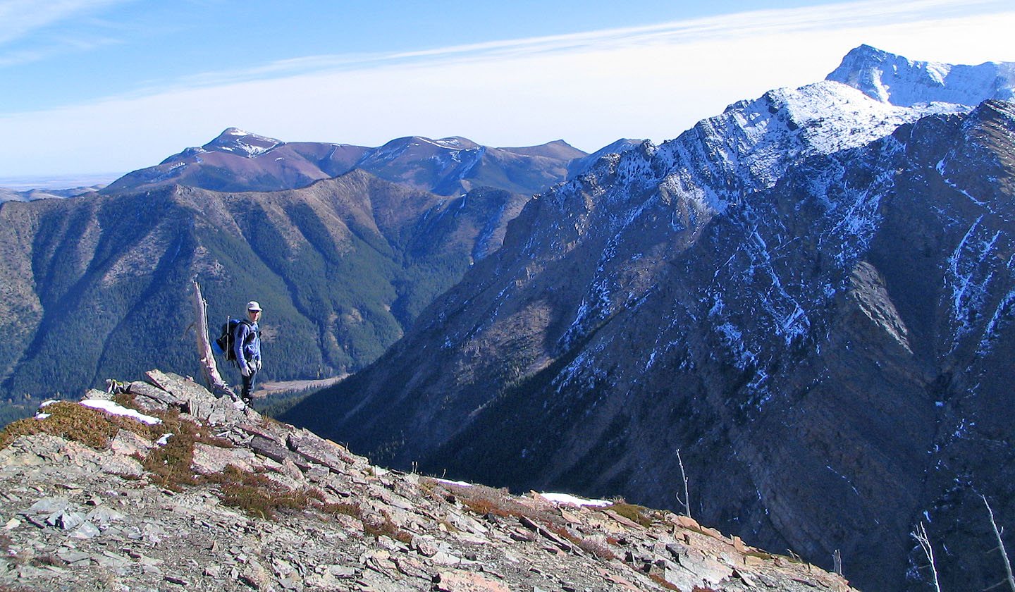
Prairie Bluff on the left
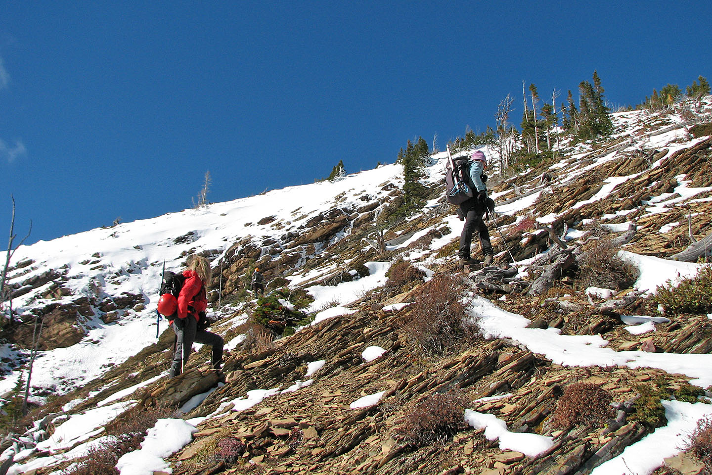
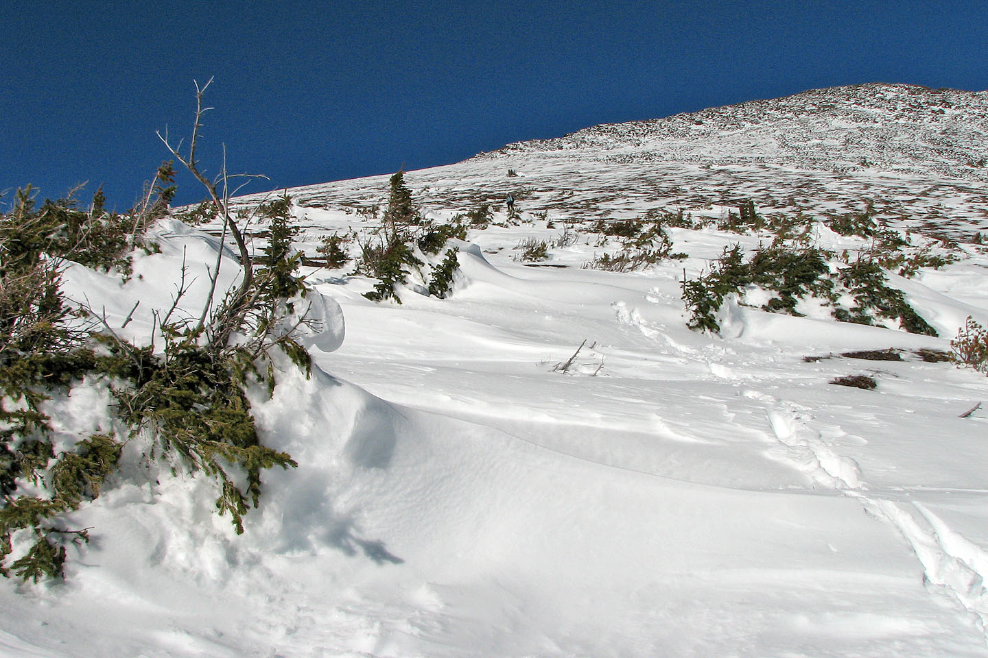
Coming up to the snow line
Linda ascends the broad slope
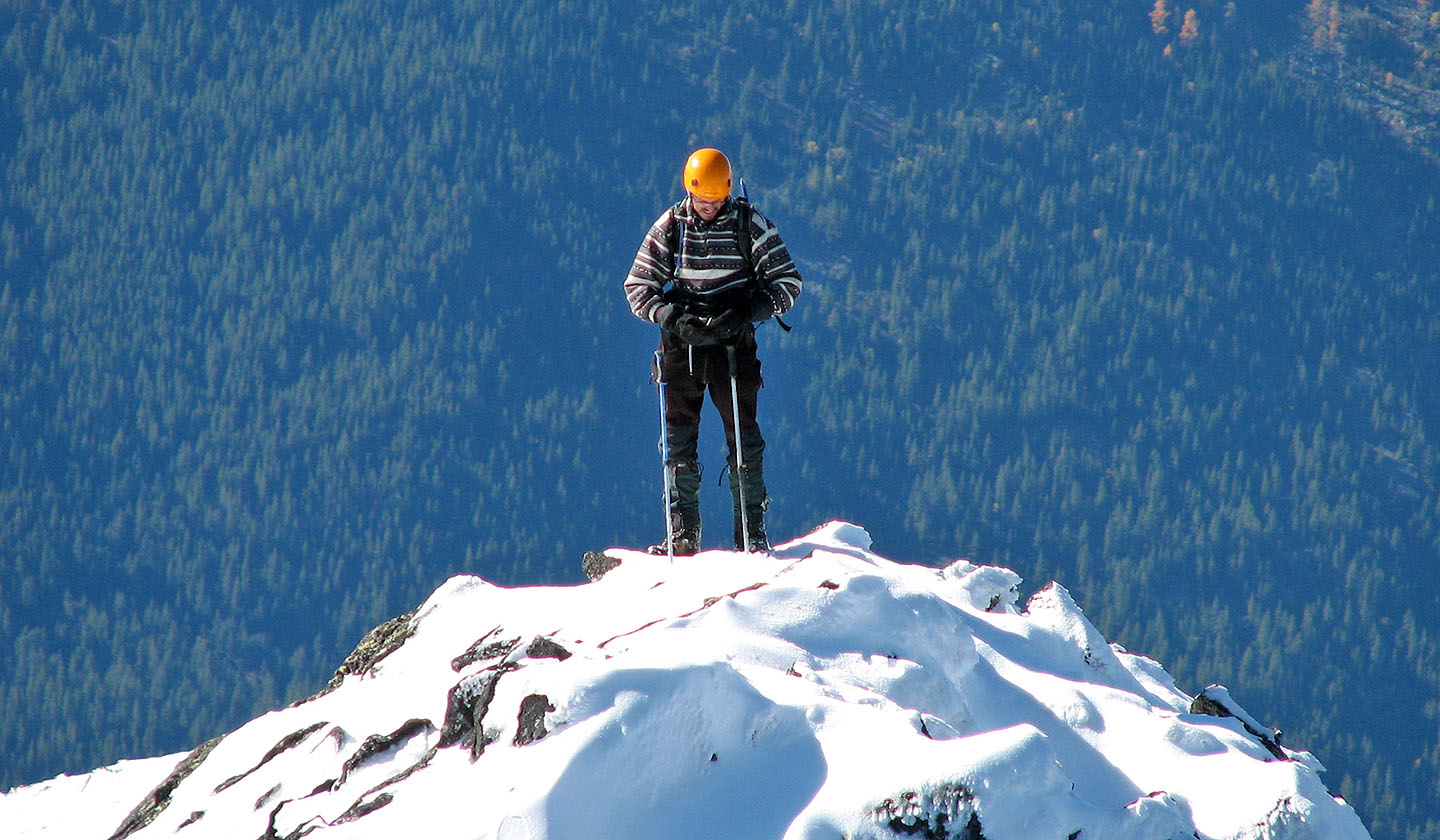
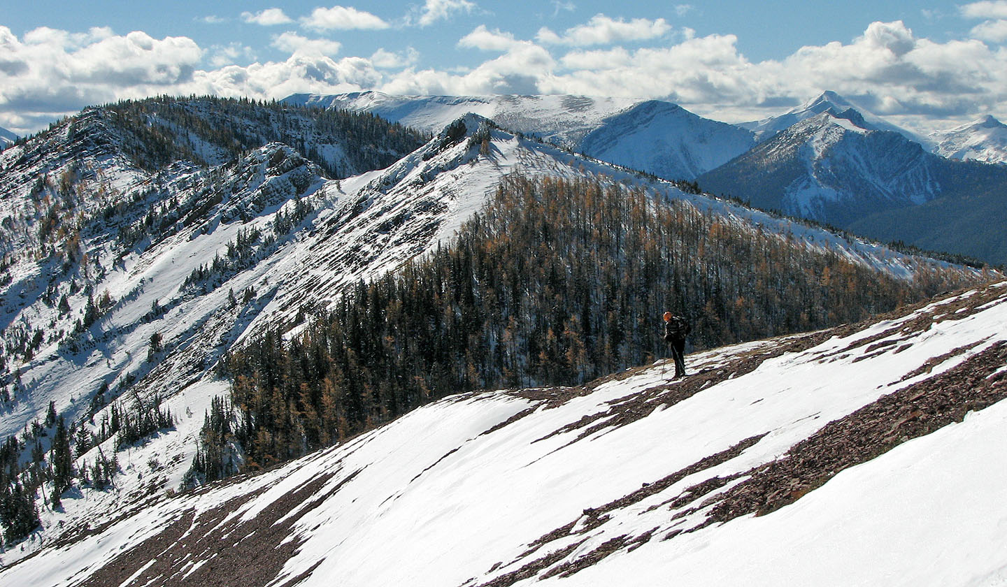
Andrew pauses on a high point on the ridge
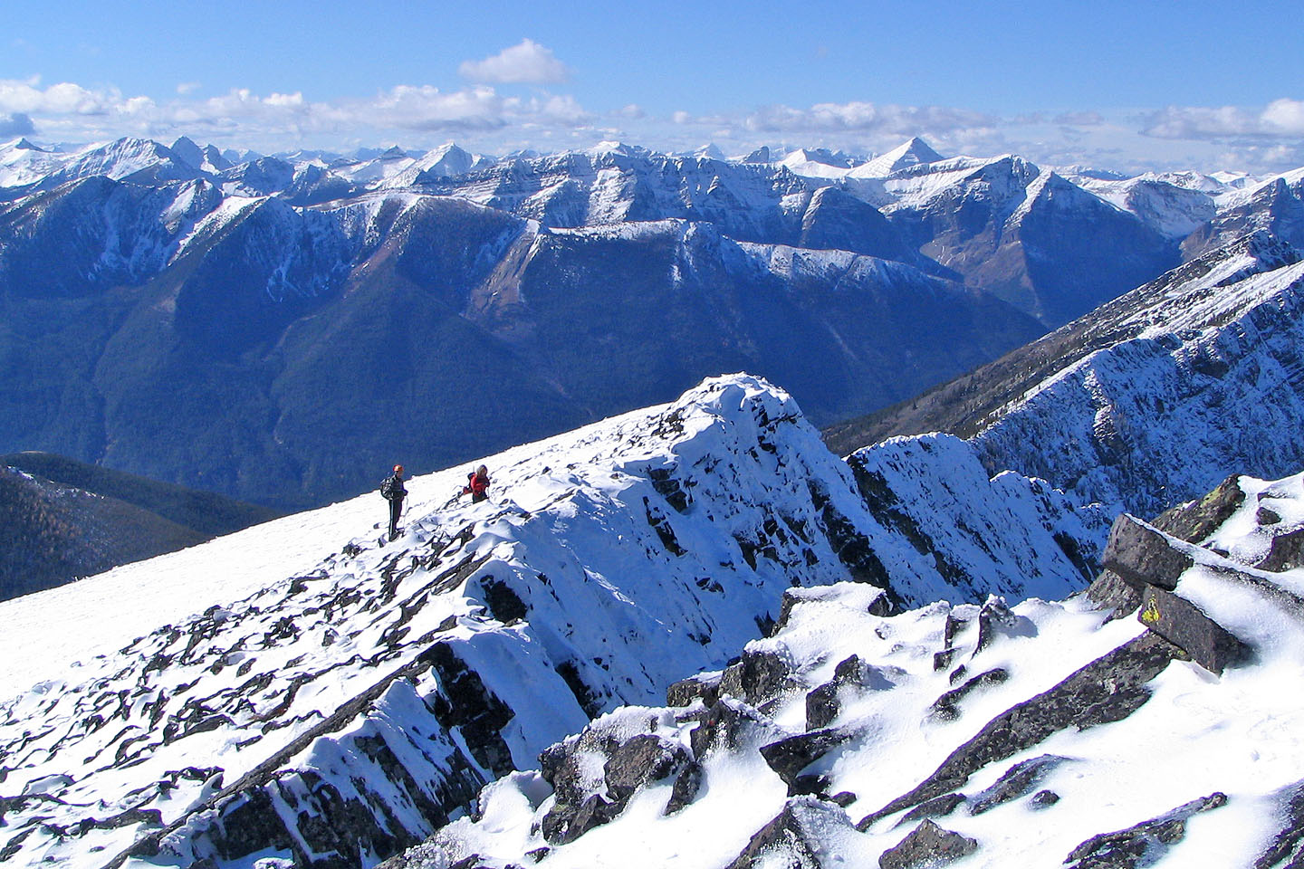
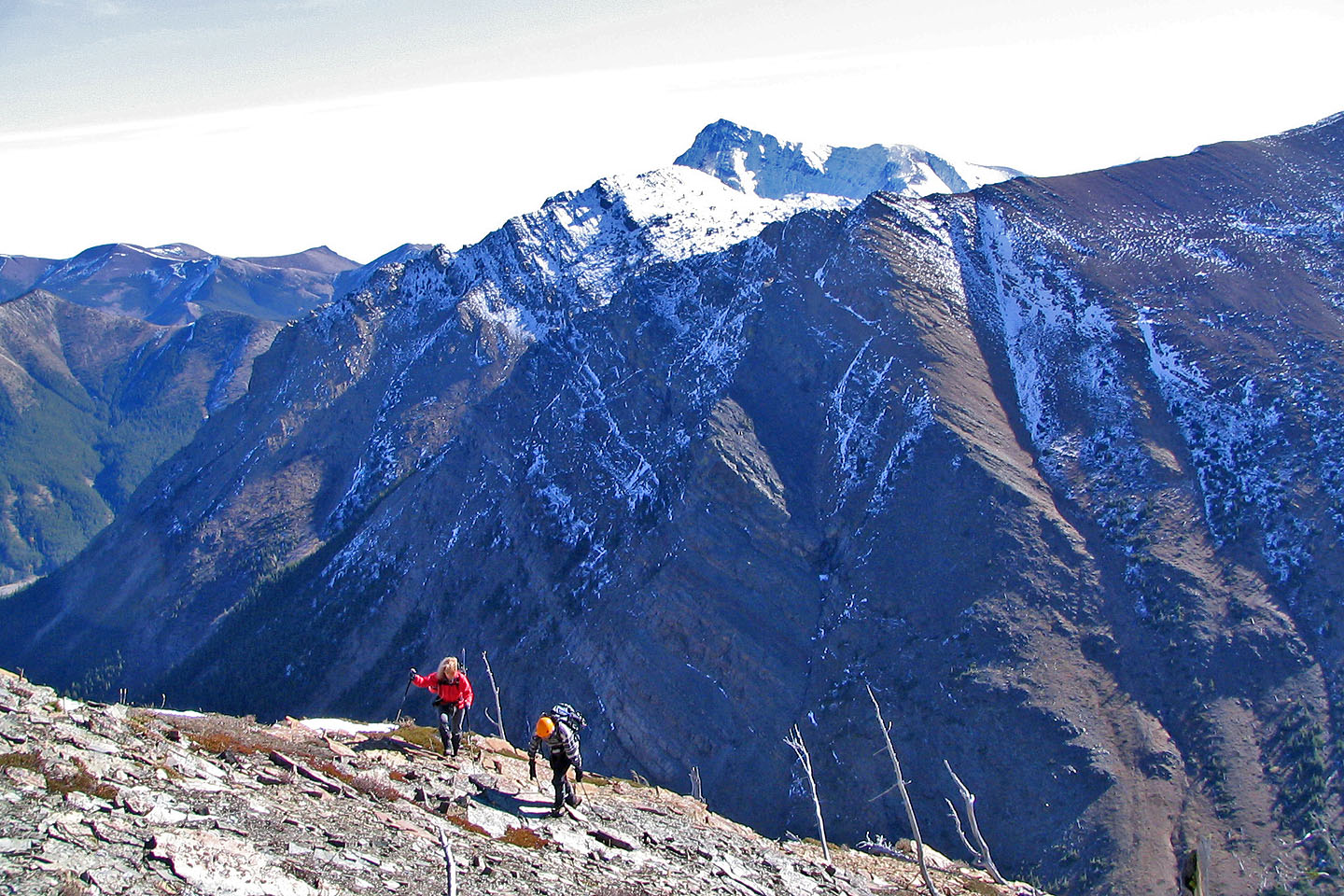
Looking back from the summit as Andrew and Linda made their way up
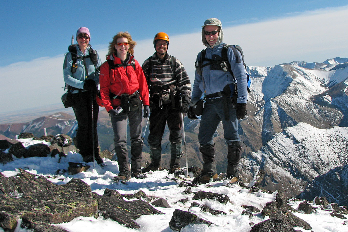
On the summit: Dinah, Linda, Andrew and me
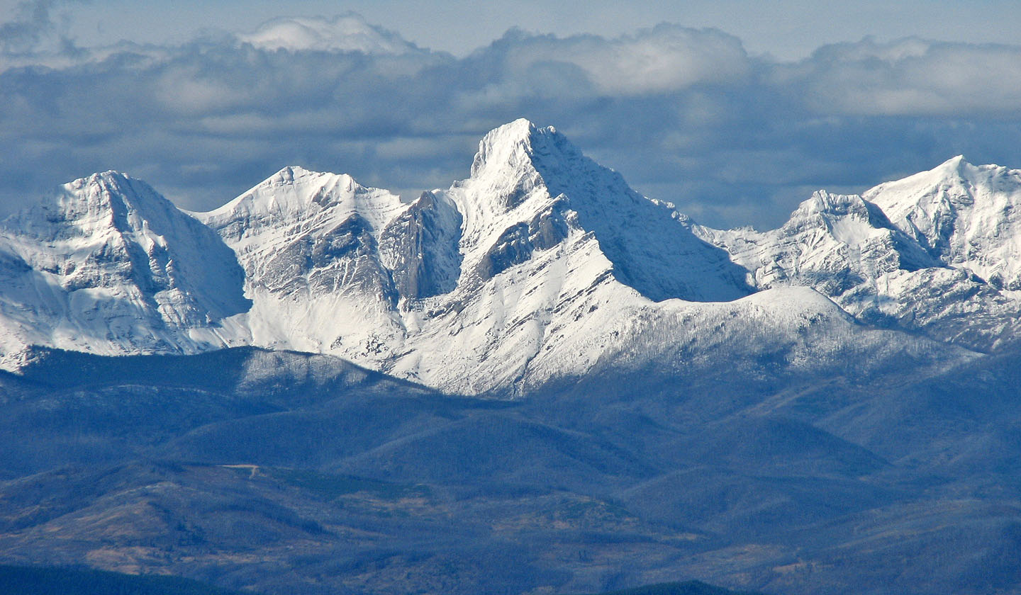
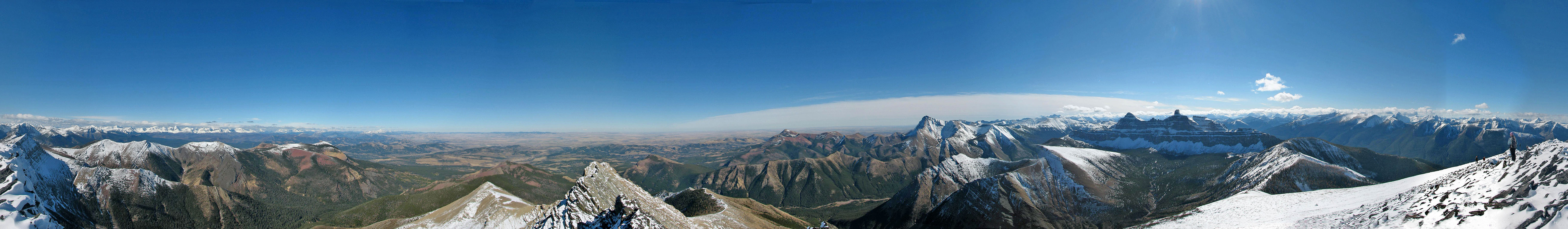
Tornado Mountain lies northwest 80 km away
Coming down from the summit
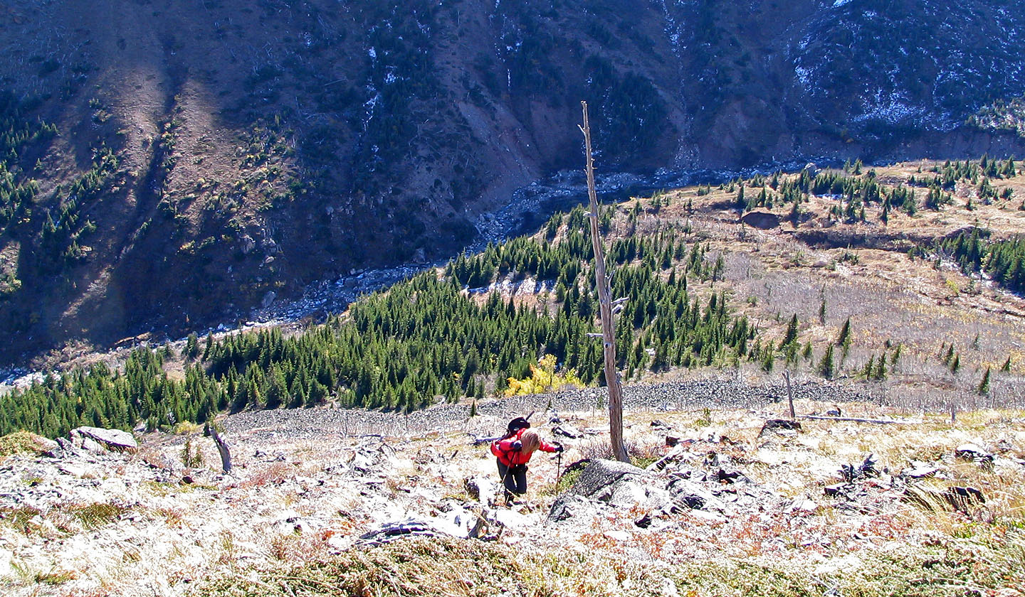
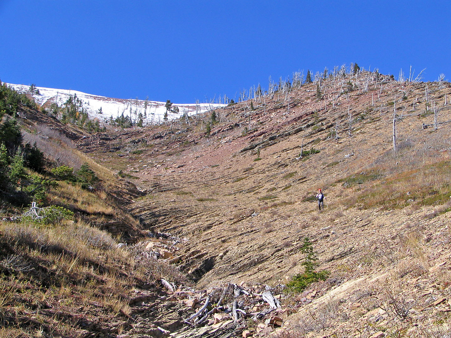
Dinah is speck in the centre. The summit is on the right.
Andrew above the scree slope. The treed ridge on the left is
North Castle.
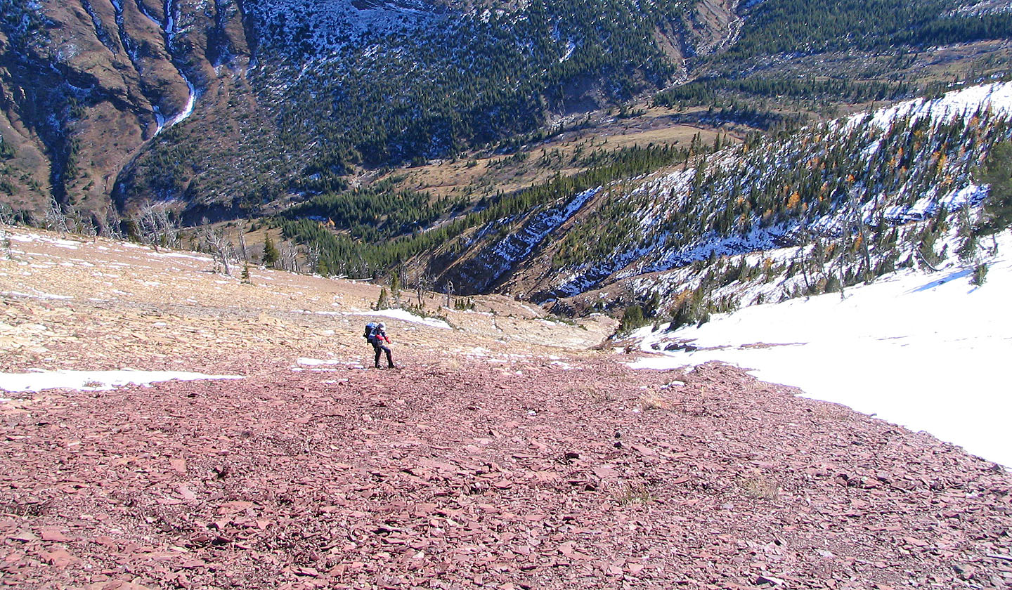
Heading down the scree
Descending the slopes above Mill Creek
Almost at the bottom
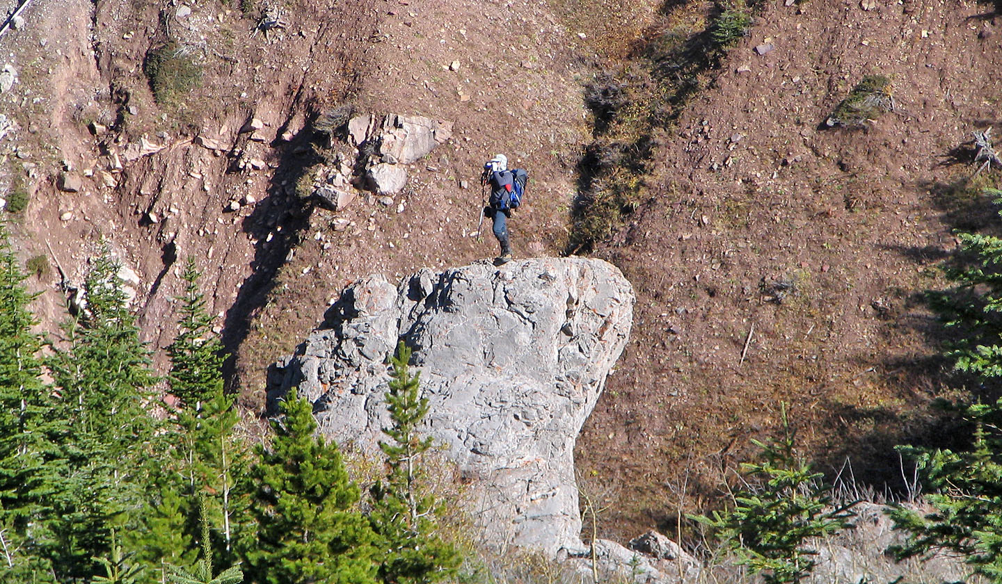
I found a high perch to take photos from
Dinah and Linda (centre left) after descending the gully on the right
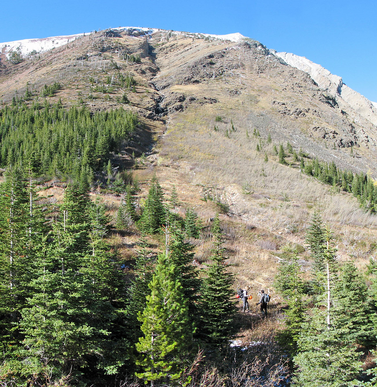
Mount Gladstone with its white peak on the right. We ascended the ridge on the right and
descended the gully on the left. Linda and Andrew in the lower right.
82 G/8 Beaver Mines