bobspirko.ca | Home | Canada Trips | US Trips | Hiking | Snowshoeing | MAP | About
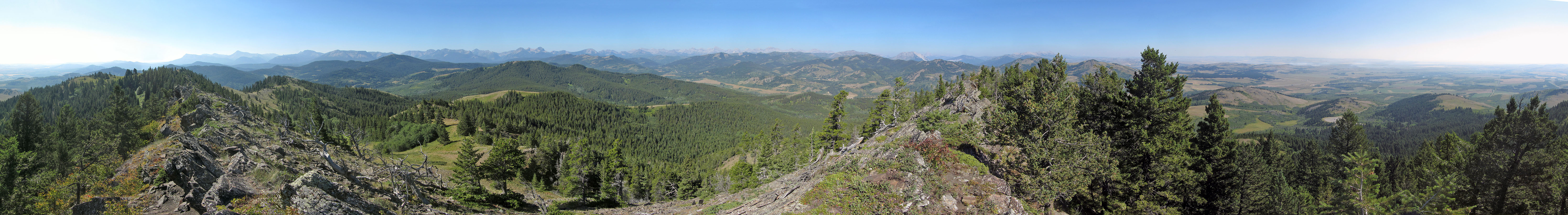
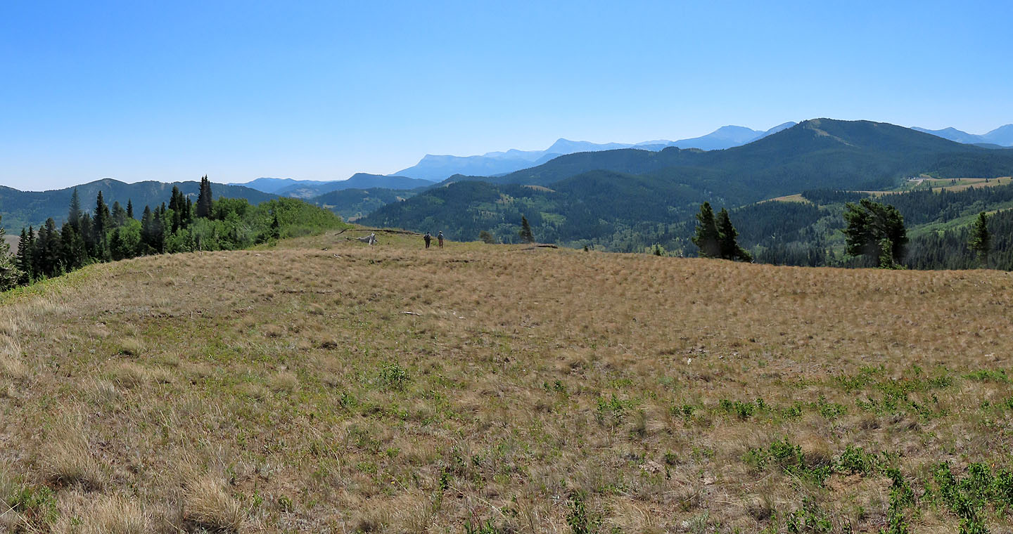
Panorama from Blue Mountain
Blue Mountain and Screwdriver Ridge
Castle Wilderness, Alberta
August 1, 2023
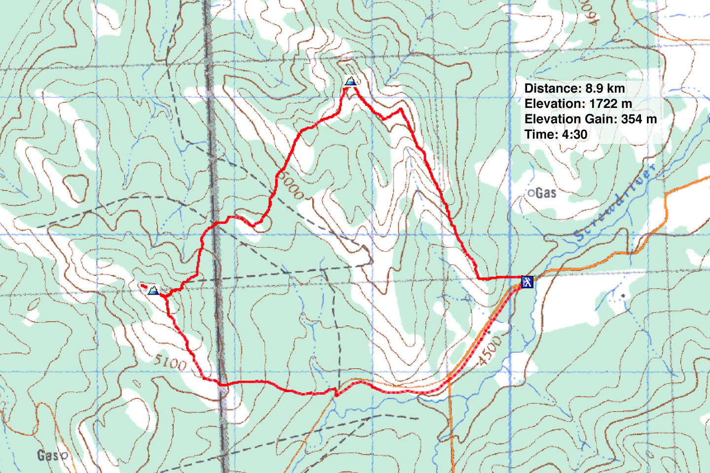
Distance: 8.9 km (5.5 mi)
Cumulative Elevation Gain: 562 m (1844 ft)
One can't help but be intrigued by Blue Mountain, a monticule that Dave McMurray calls his favourite foothill in Castle Wilderness. Such is his fondness, he has climbed it four times, including three times in a loop that added Screwdriver Ridge. The loop climbs the south ridge of Blue, crosses over to Screwdriver and then descends the south ridge of Screwdriver. A 2.4 km walk on a gravel road completes the circle.
I suggested this trip to Doug Robson who had reached out to me for a hike. Doug is attracted to mountains big and small. He told me the Blue-Screwdriver loop was perfect for him, a warmup to Mount Sarbach which he climbed two days later. He invited his hiking partner Harry Raymaakers to join us. Both are avid peakbaggers, climbing twice a week.
We took Dave's loop and made it leaner, knocking off 2 km. Instead of dropping down to cross the valley between the two peaks, we traversed the connecting ridge. Instead of following the south ridge of Screwdriver to the road, we took a shortcut trail. The trail reaches the road at a cattle guard. This is no coincidence for after the cattle guard, private land lines the road (see Dave's webpage).
Our trip began at the end of the south ridge of Blue Mountain. We parked at a pullout and walked a short distance to the start of a cutline. According to Dave, the fence running up the cutline sets a boundary: left is private land, but hikers can cross the leased public land on the right. We followed the cutline to the ridgetop. Soon we were hiking up a meadowy ridge with few trees interfering with the view.
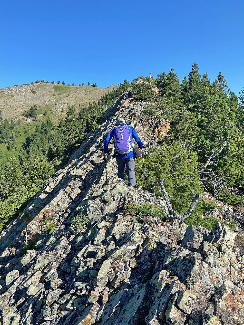
The ridge morphs into a sharp, rocky ridge, a welcomed variation from our plod across grass. After this, the rest of our ascent was a mix of meadows and rocks as the ridge zigs left then right before reaching the summit.
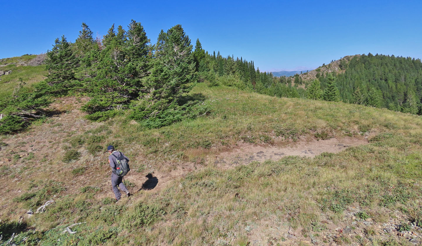
After taking a break, we put Screwdriver Ridge in our sights. We followed the undulating connecting ridge up and down, across meadows, through forests and over deadfall. All of which was forgettable except for the sharp climb to the summit ridge. That left a lasting impression in our minds, not to mention in our legs. Once on the ridge, we strolled to the grassy summit.
After recognizing several surrounding peaks, we headed down the broad, meadowy south ridge, so pleasant it invites dawdling. Partway, we looked for and found the shortcut trail. We followed the one-kilometre trail through meadows and past cows to the road. We walked to our car less than 2 km away.
Thanks to Dave McMurray for researching the complicated issue of public land use and for creating a loop that added a hitherto unnamed ridge and coining it Screwdriver. And thanks to my engaging companions Doug and Harry who brought along a dollop of levity to make this a fun mountain adventure.
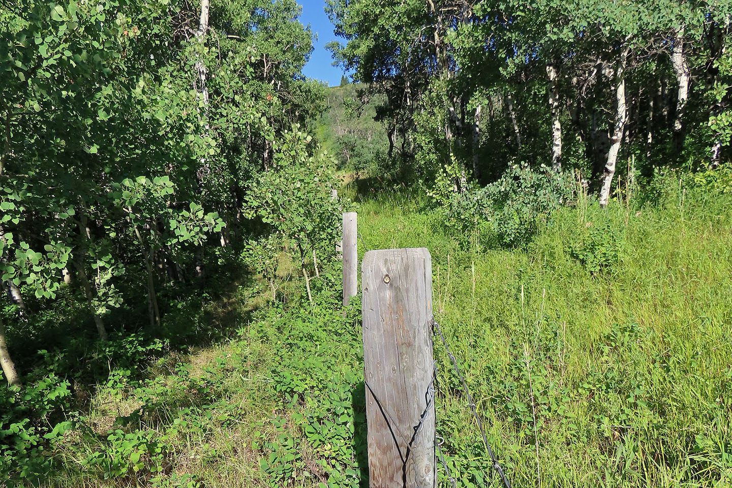
Looking up the cutline we hiked up
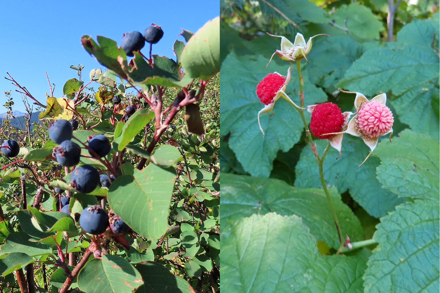
En route, we nibbled on Saskatoons and thimbleberries
We reached the semi-open ridge
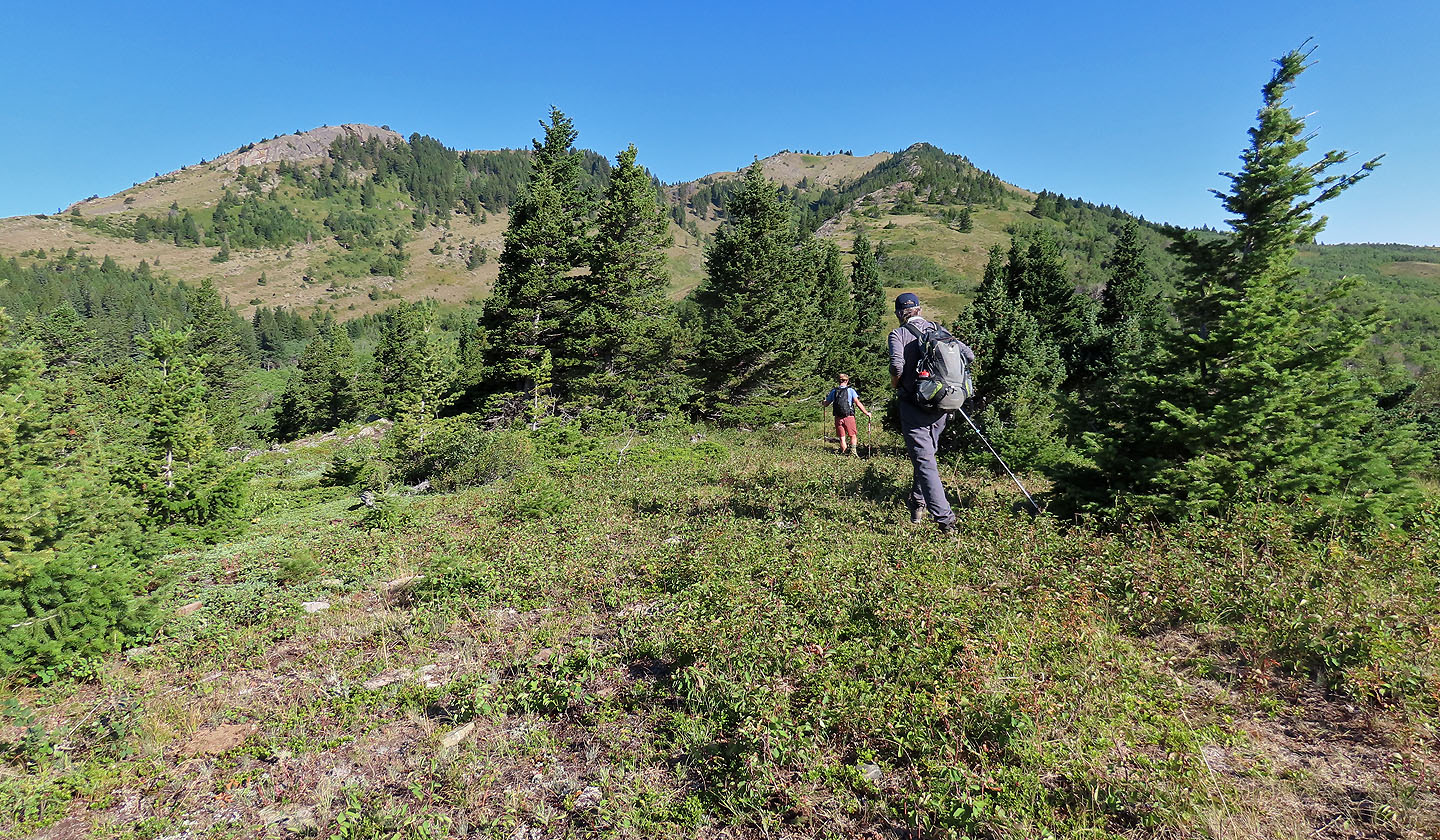
We continued up the ridge. The clifftop on the left looked interesting but wasn't part of our loop.
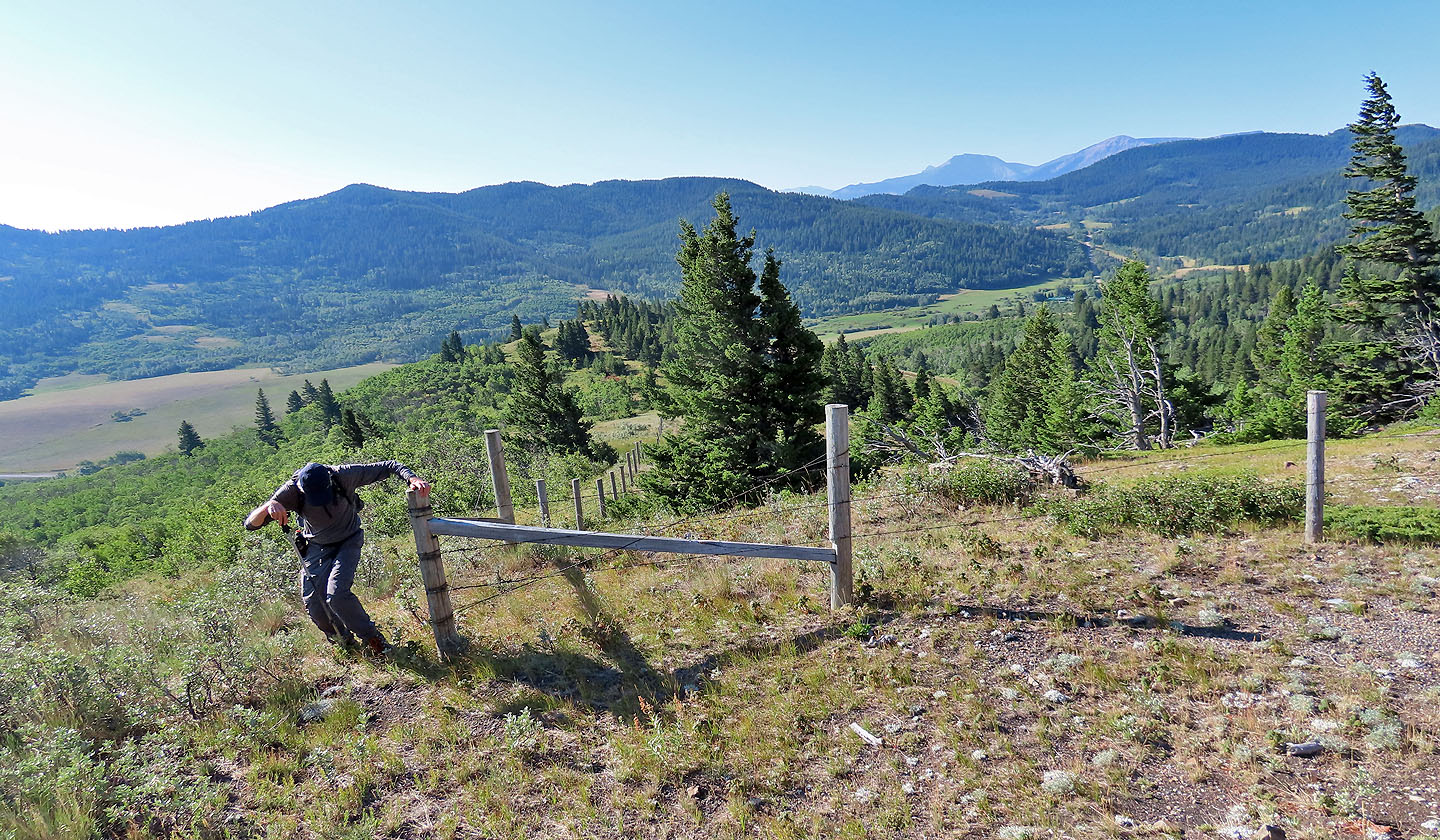
I looked back to see Harry finish hopping a fence
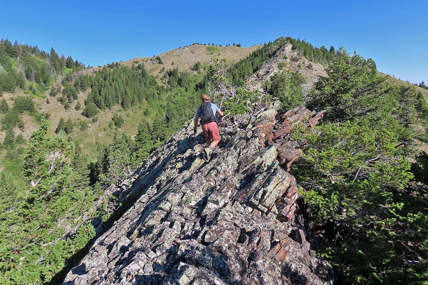
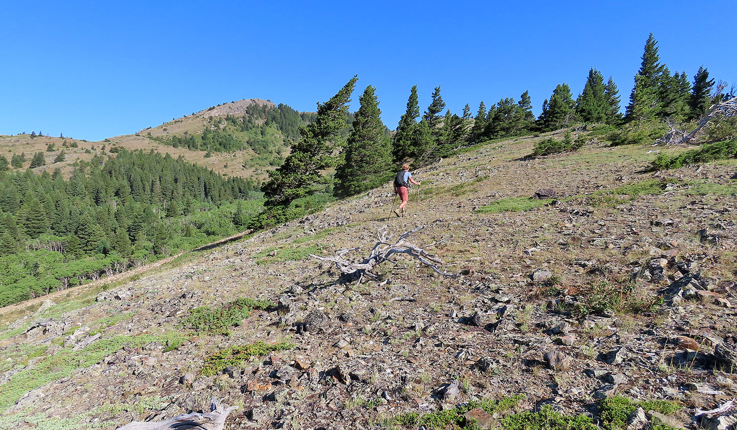
Doug makes his way up a long, rocky ridge
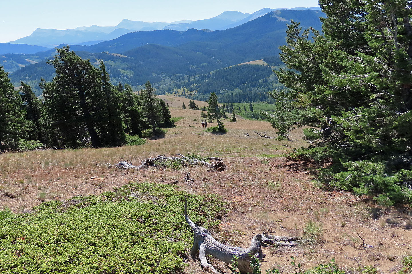
Looking back, B.C. wildfire smoke casts a pall on the mountains in the south
The ridge leads to the point on the left
The ridge zigzags to the summit on the right
Looking back at the ascent ridge
Heading to the top of Blue Mountain
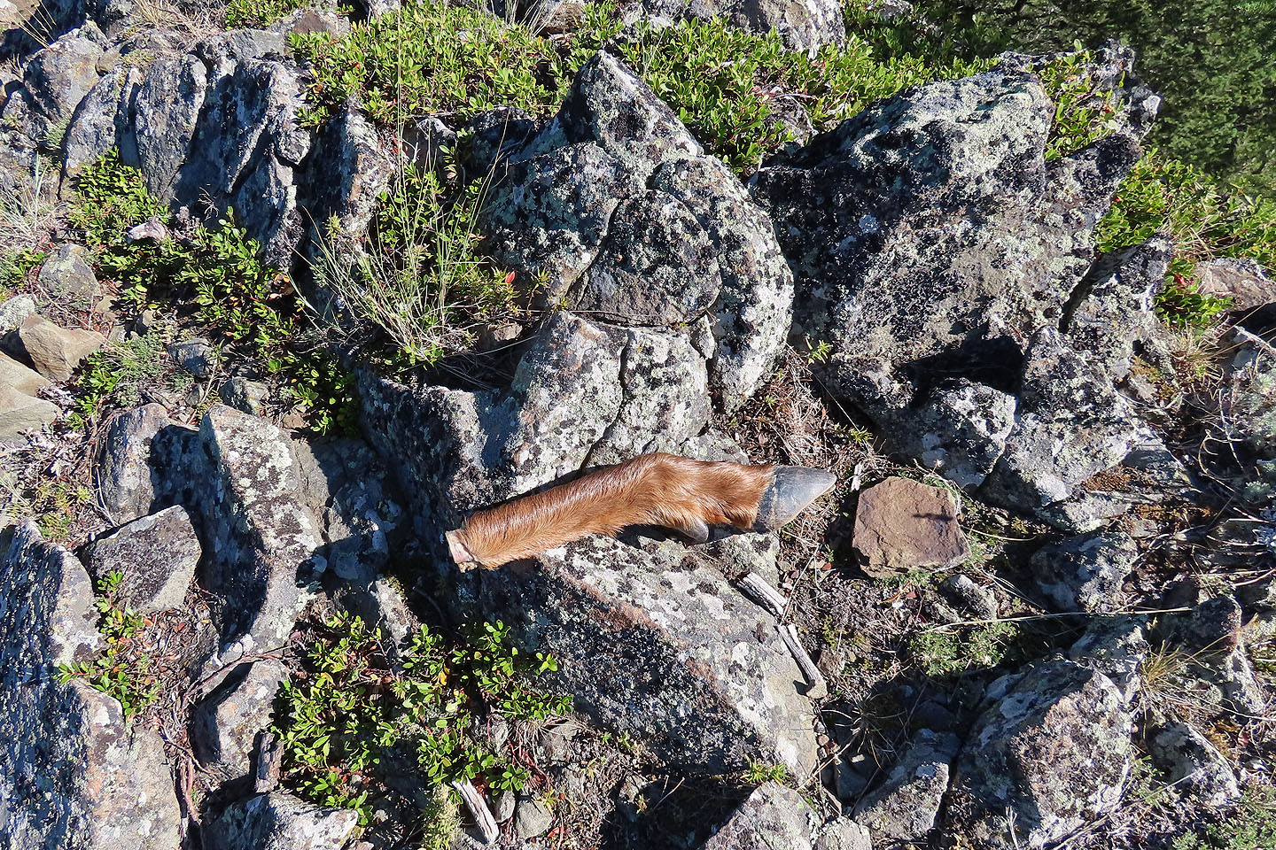
Just before the summit, we came across a deer leg
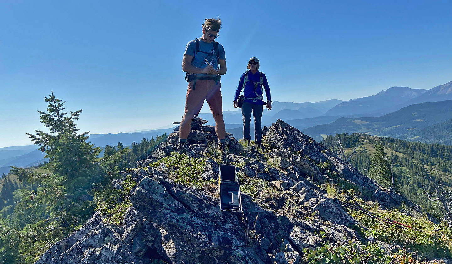
Doug signs the summit register
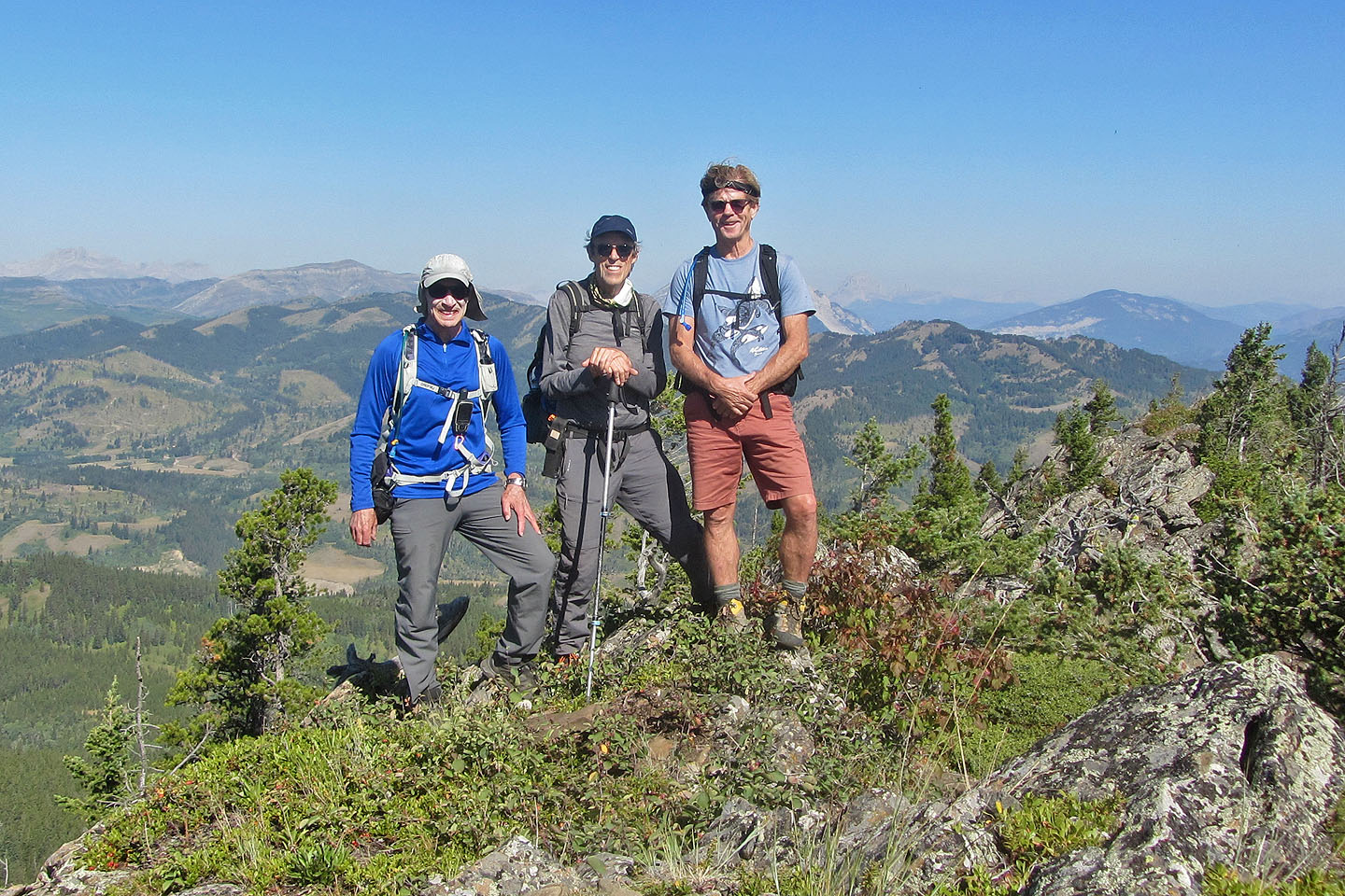
Me, Harry and Doug on Blue Mountain
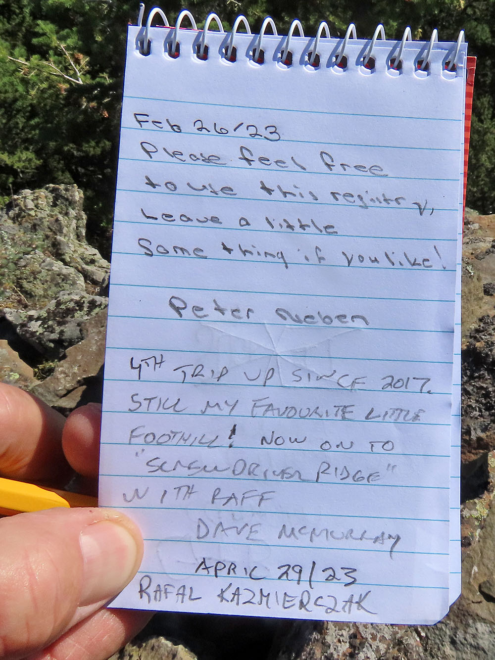
Dave and Raff added their names to a new summit register
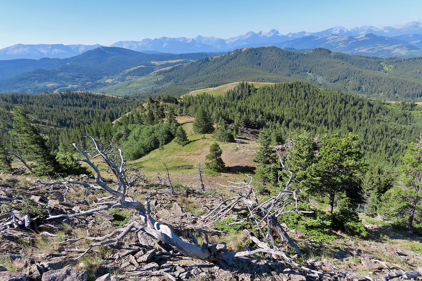
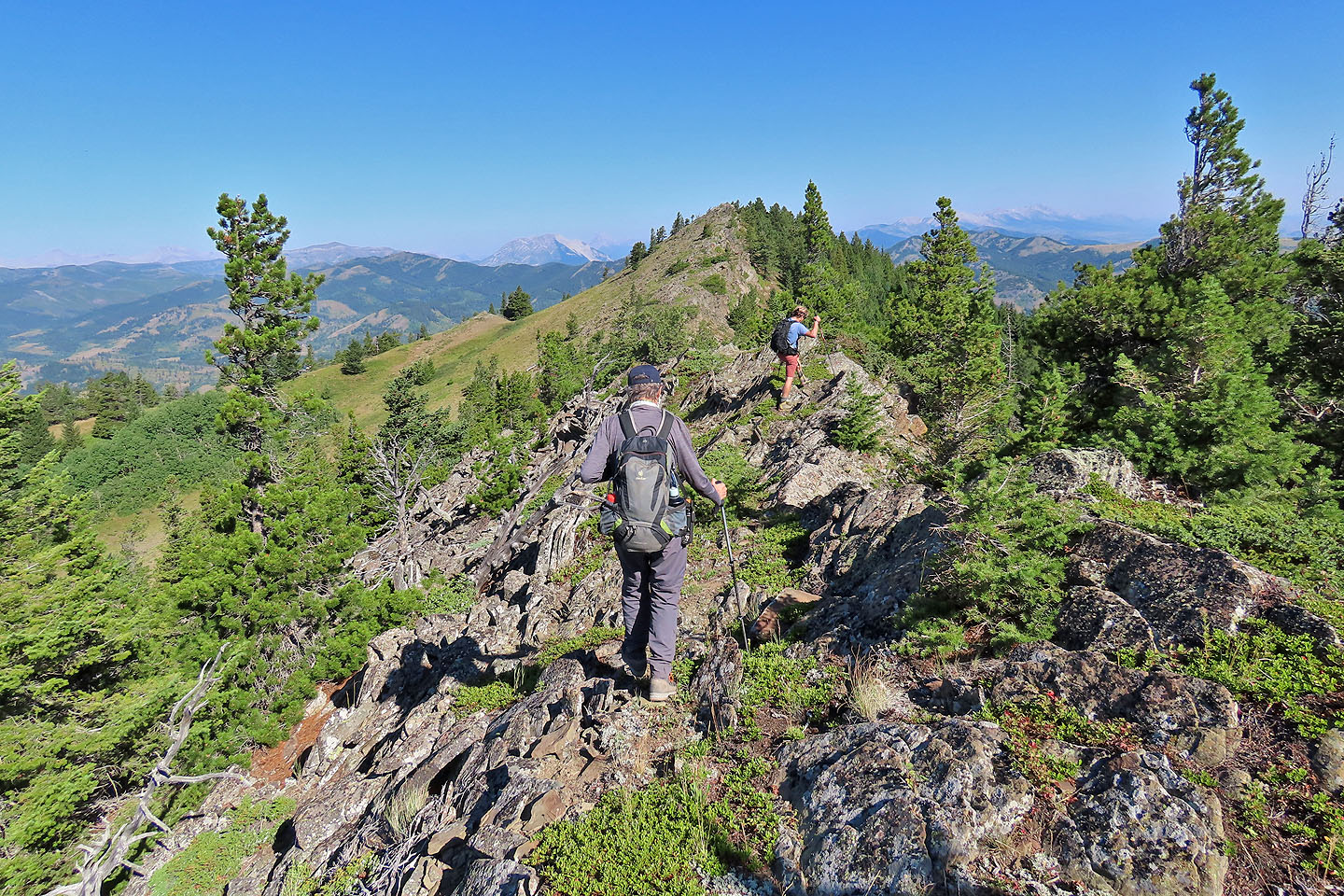
From the summit, we followed the connecting ridge to Screwdriver
Screwdriver is the forested ridge in the middle
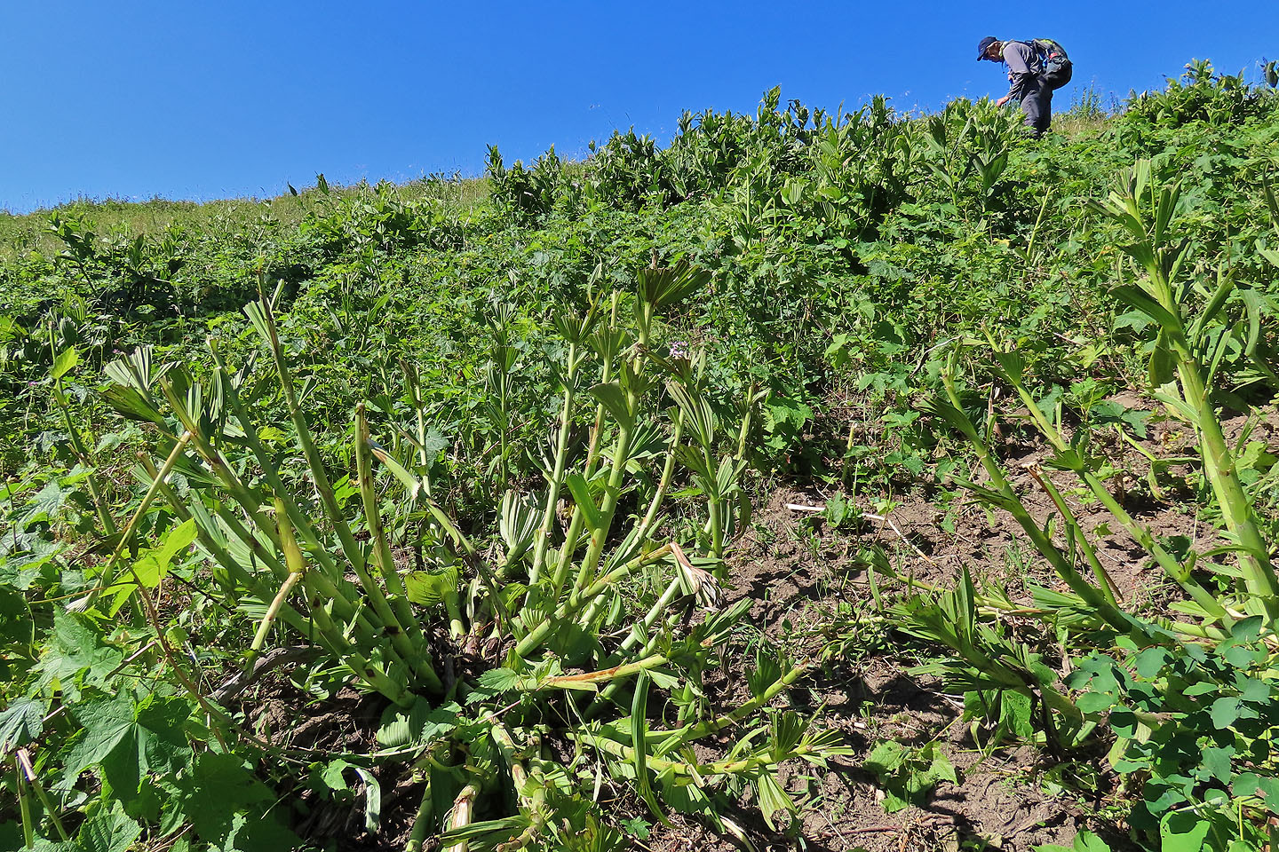
Leaves were stripped from dozens of plants
We dropped down a meadow to a forest
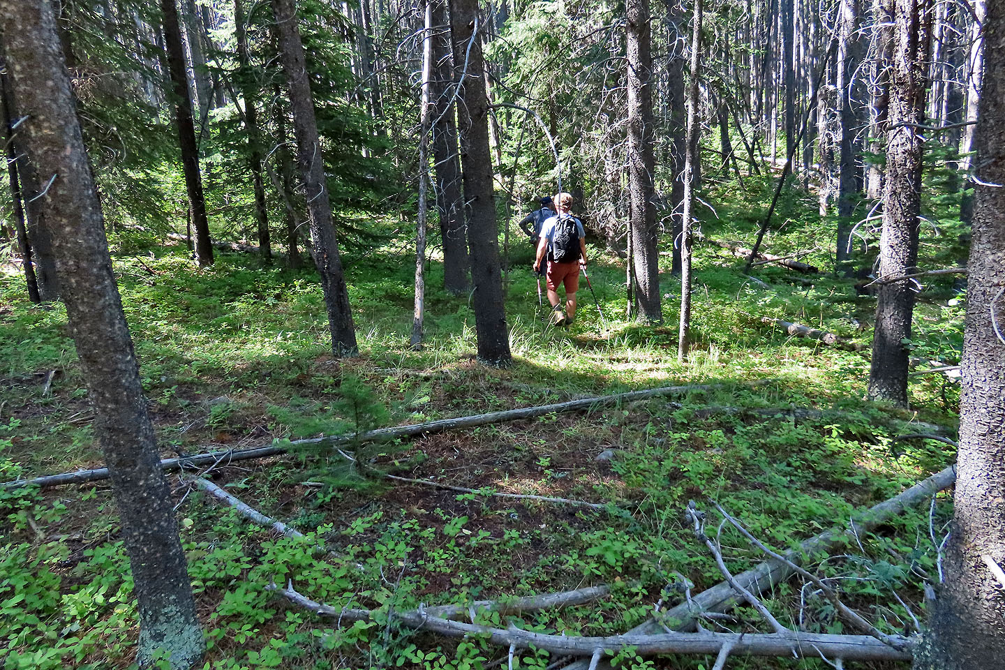
Hiking through the forest was pleasant
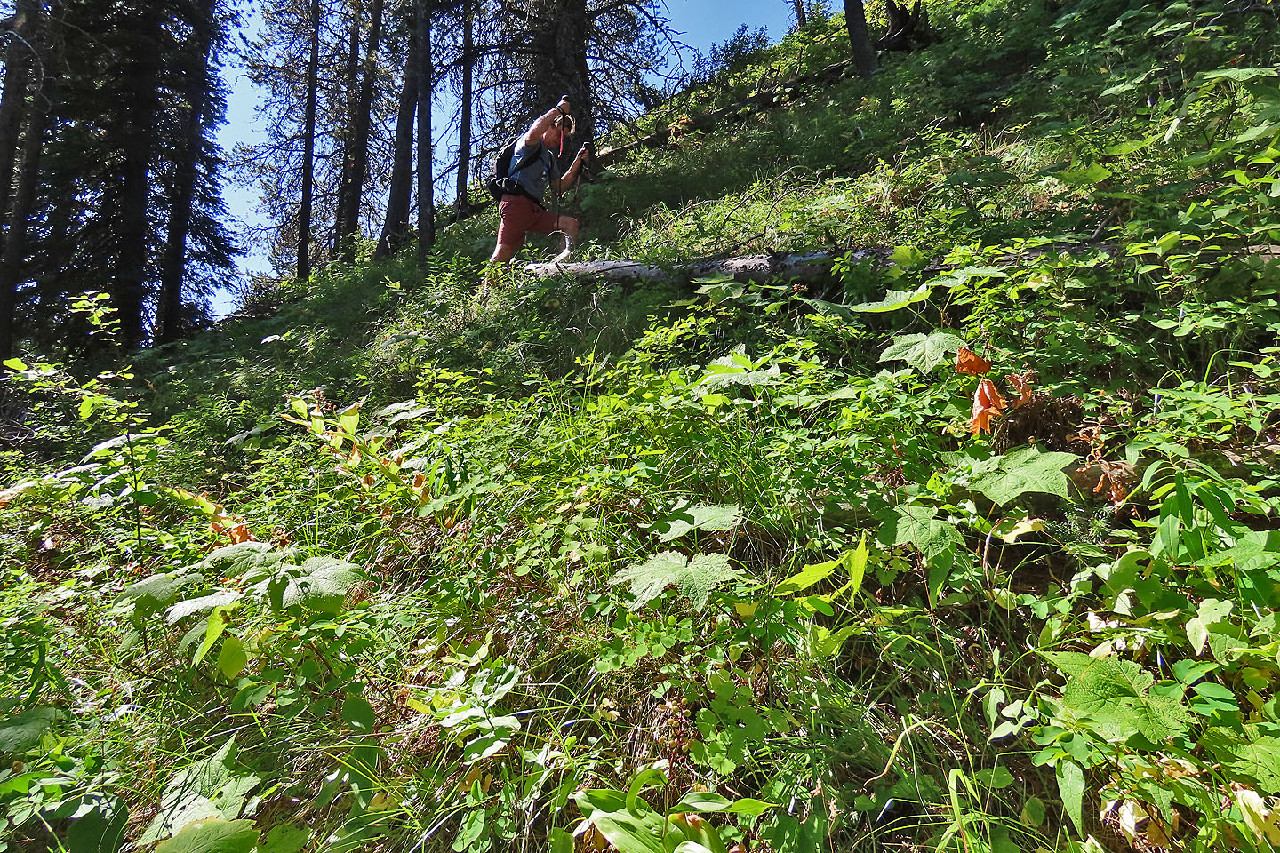
Except when it wasn't
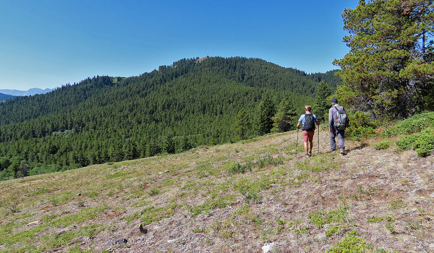
From a meadow, we can view the false summit of Screwdriver
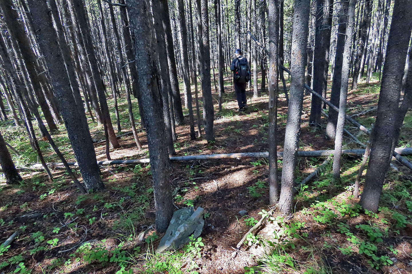
We found trails in the forest
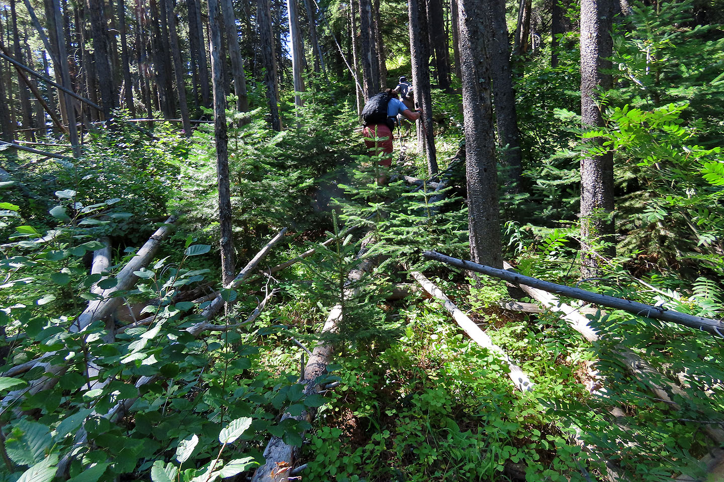
The grueling ascent to the summit ridge
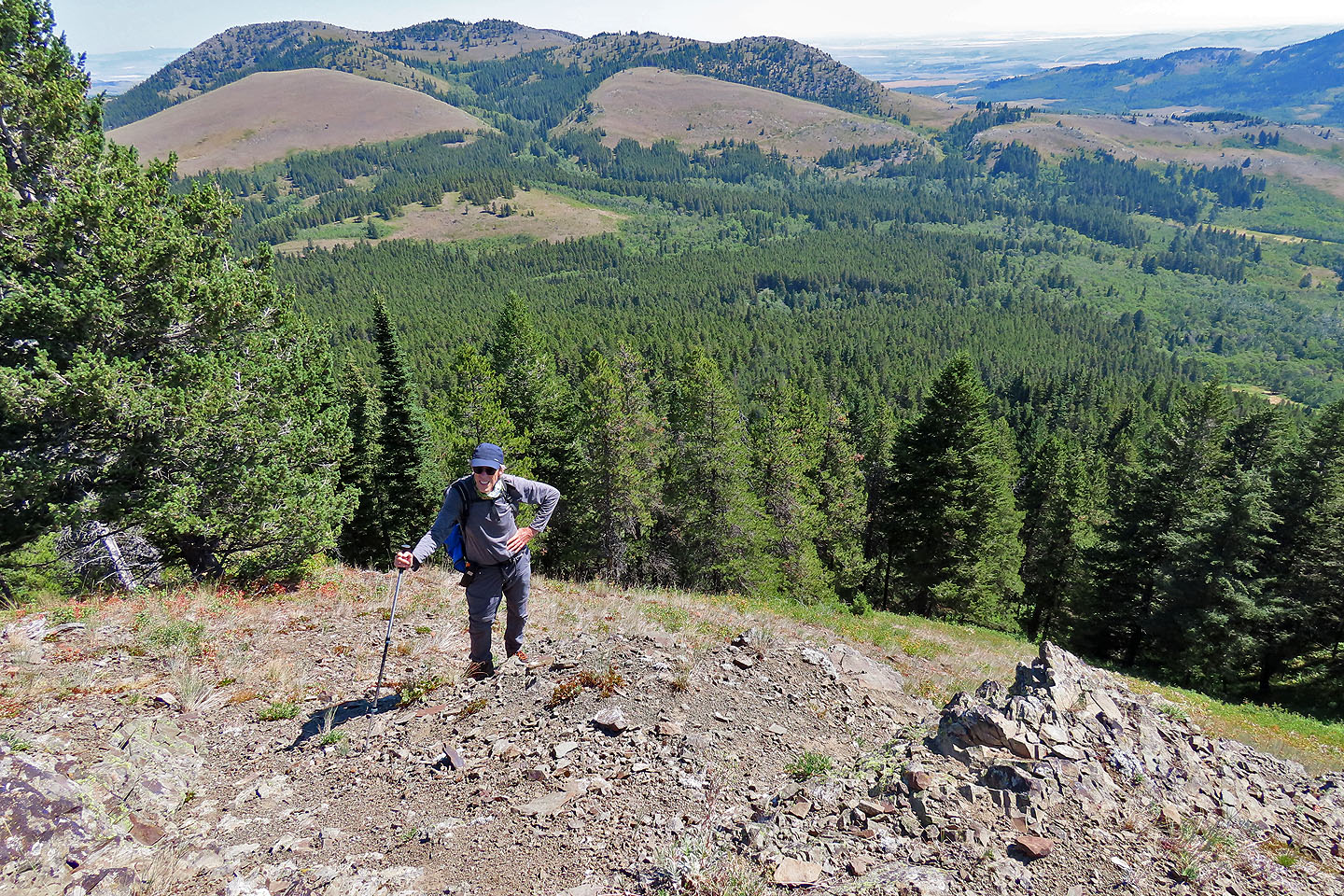
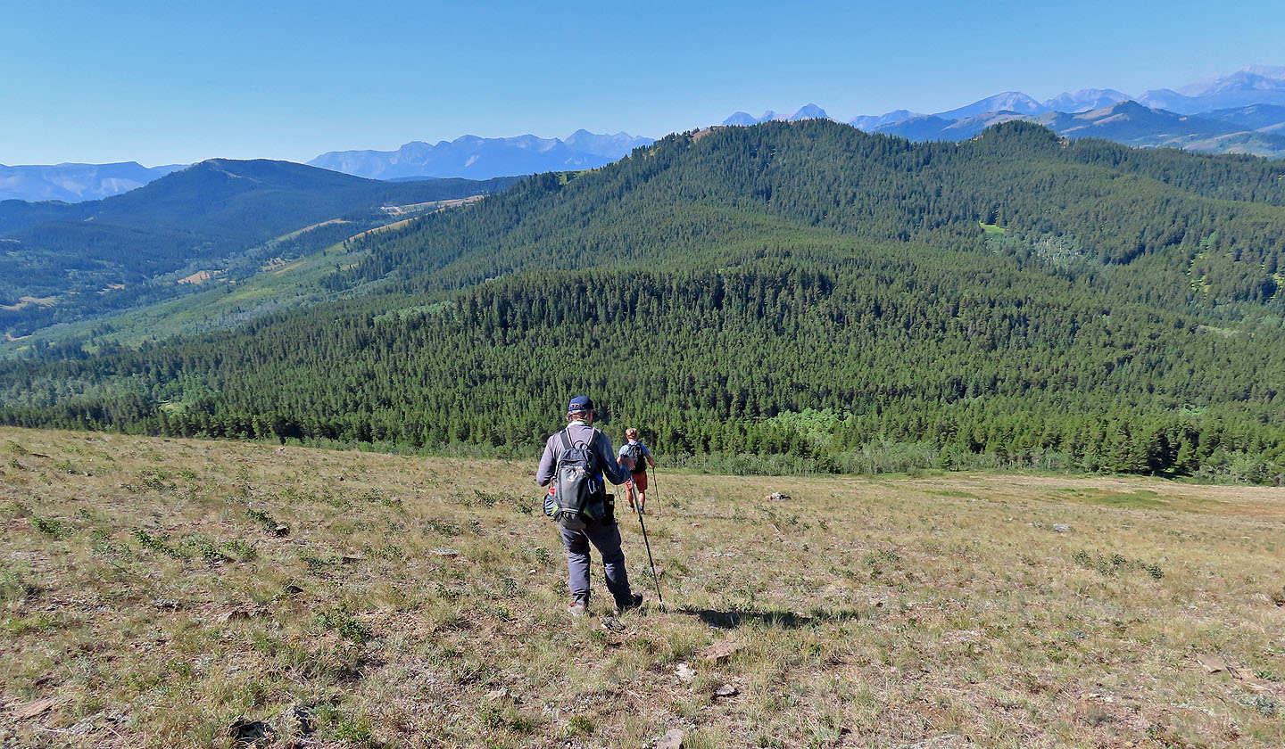
Looking back at Blue Mountain
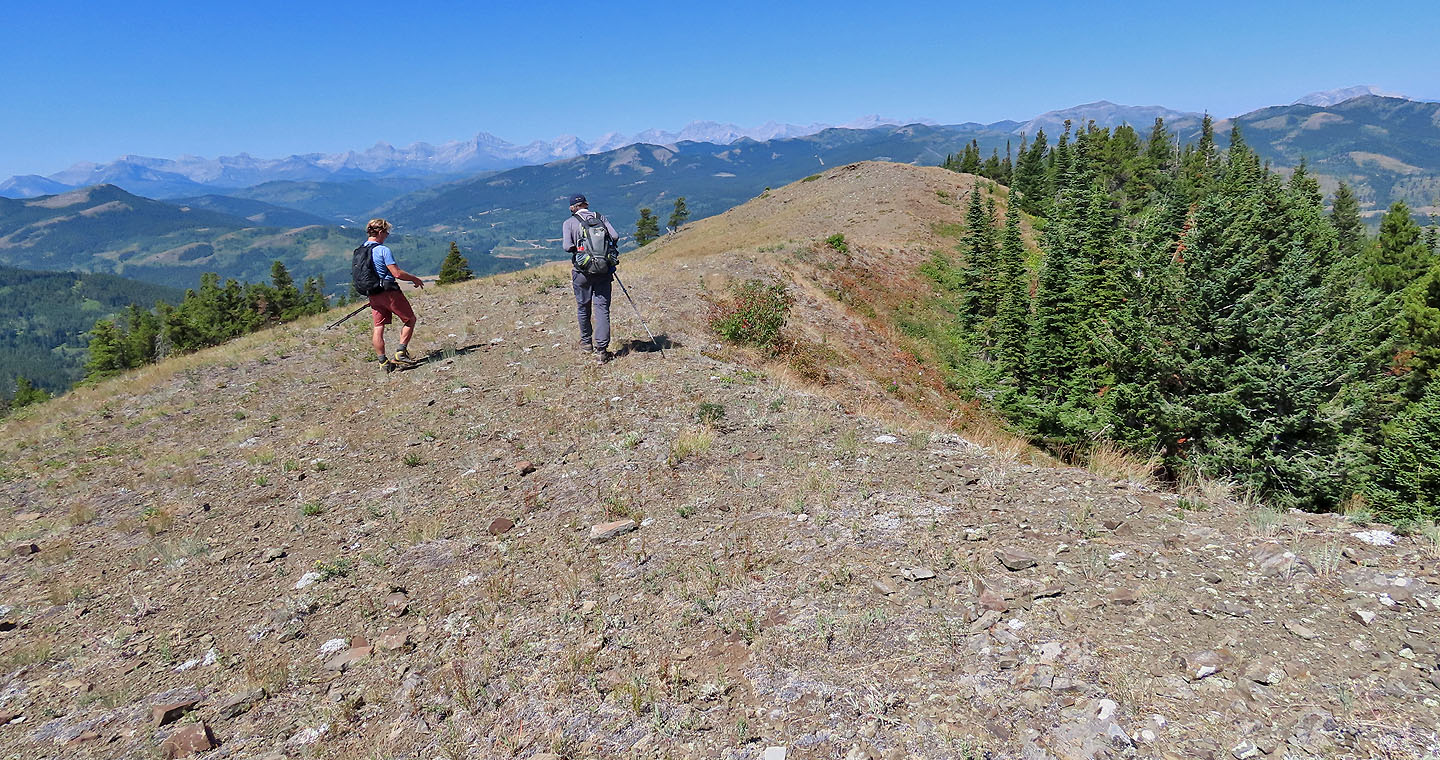
The summit is a short walk away
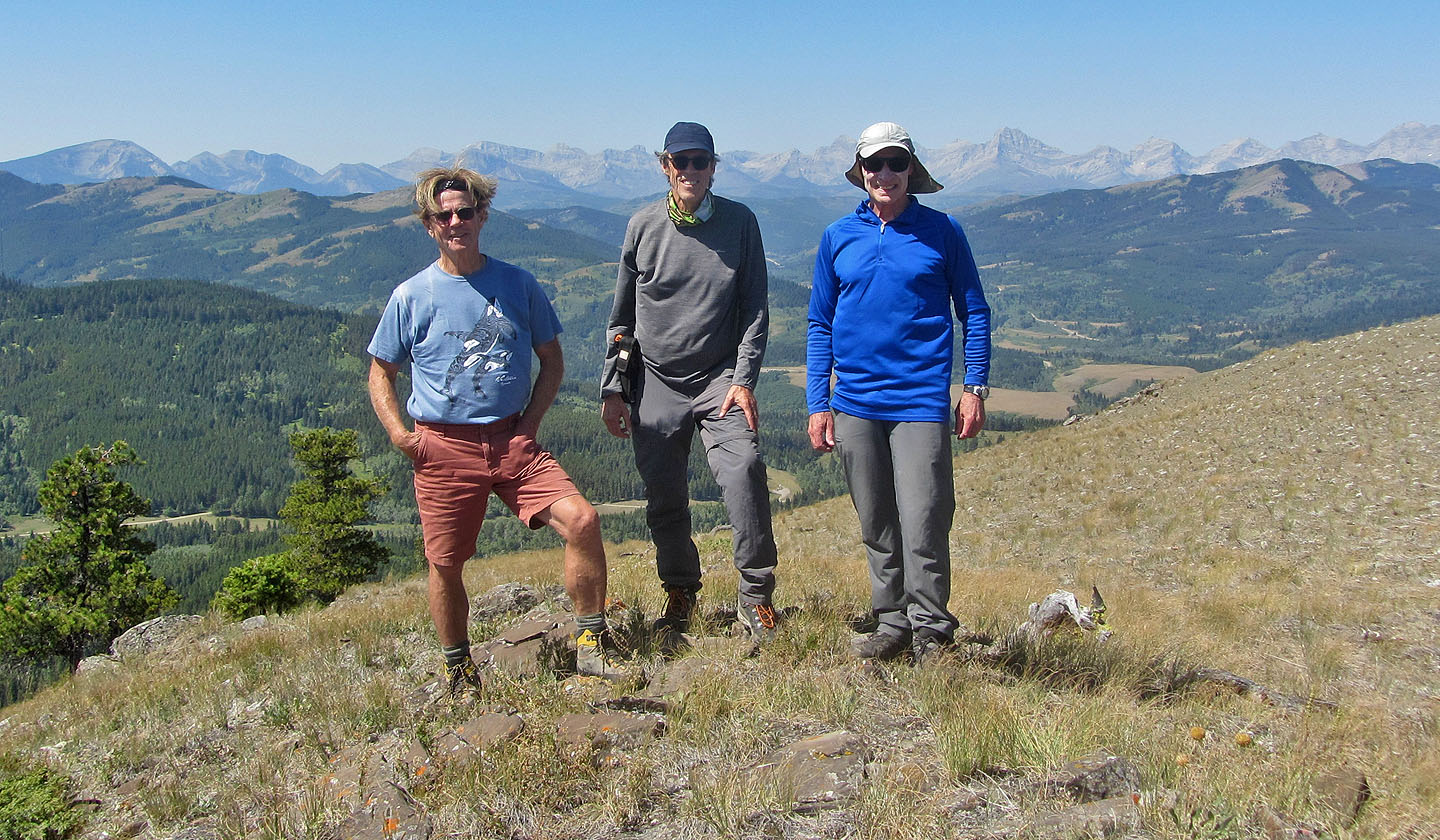
Posing on the summit
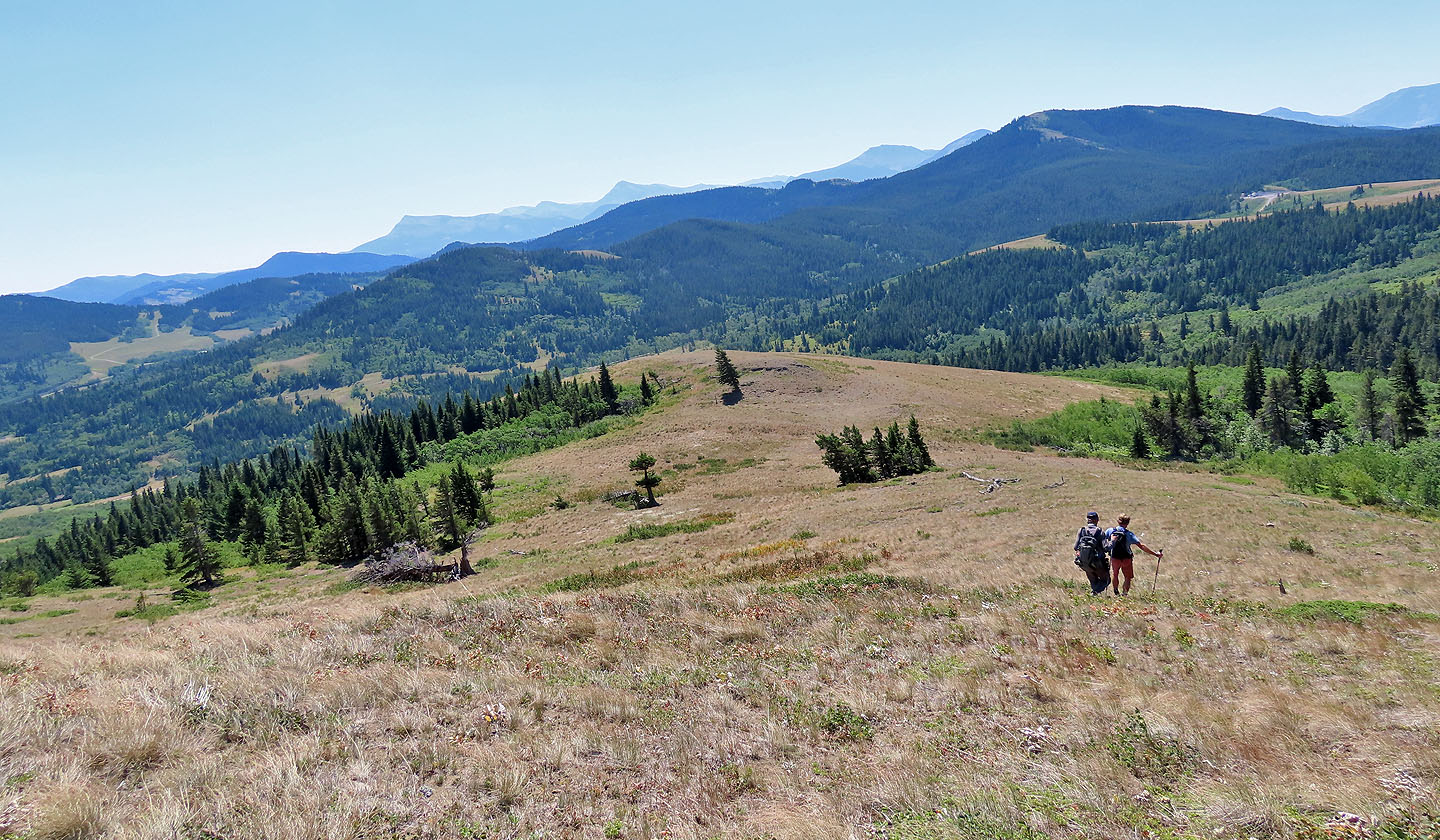
Panorama from Screwdriver Ridge
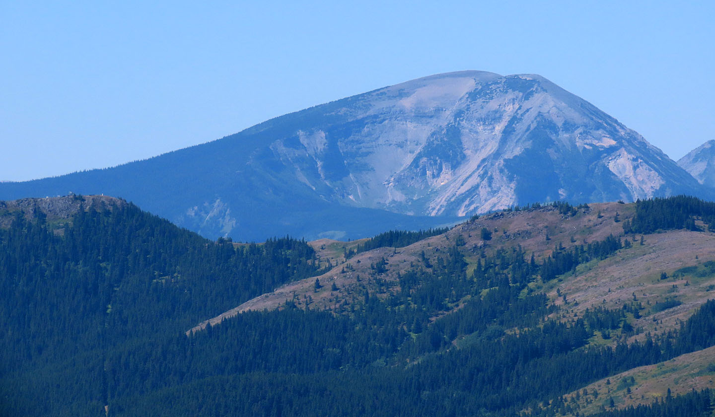
Mount McCarty towers above Carbondale Lookout (mouse over to view buildings)
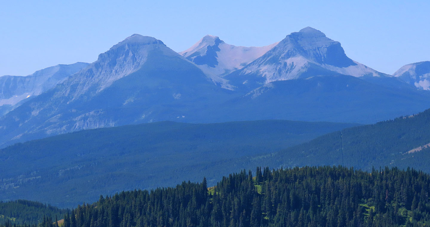
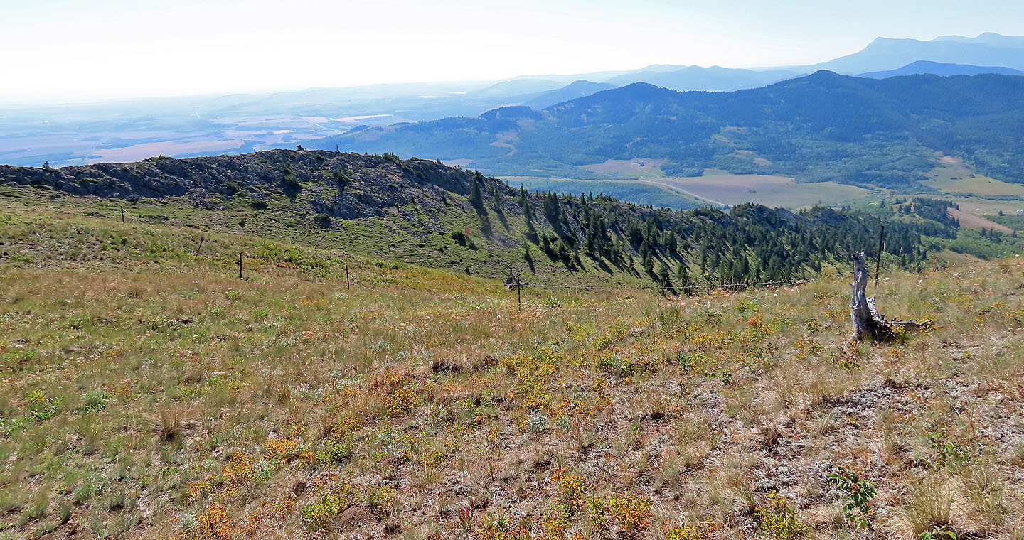
Walking to the end of the ridge we had a view north. The gray mountains are Hillcrest Mountain and Turtle Mountain. In front of Turtle is Byron Hill.
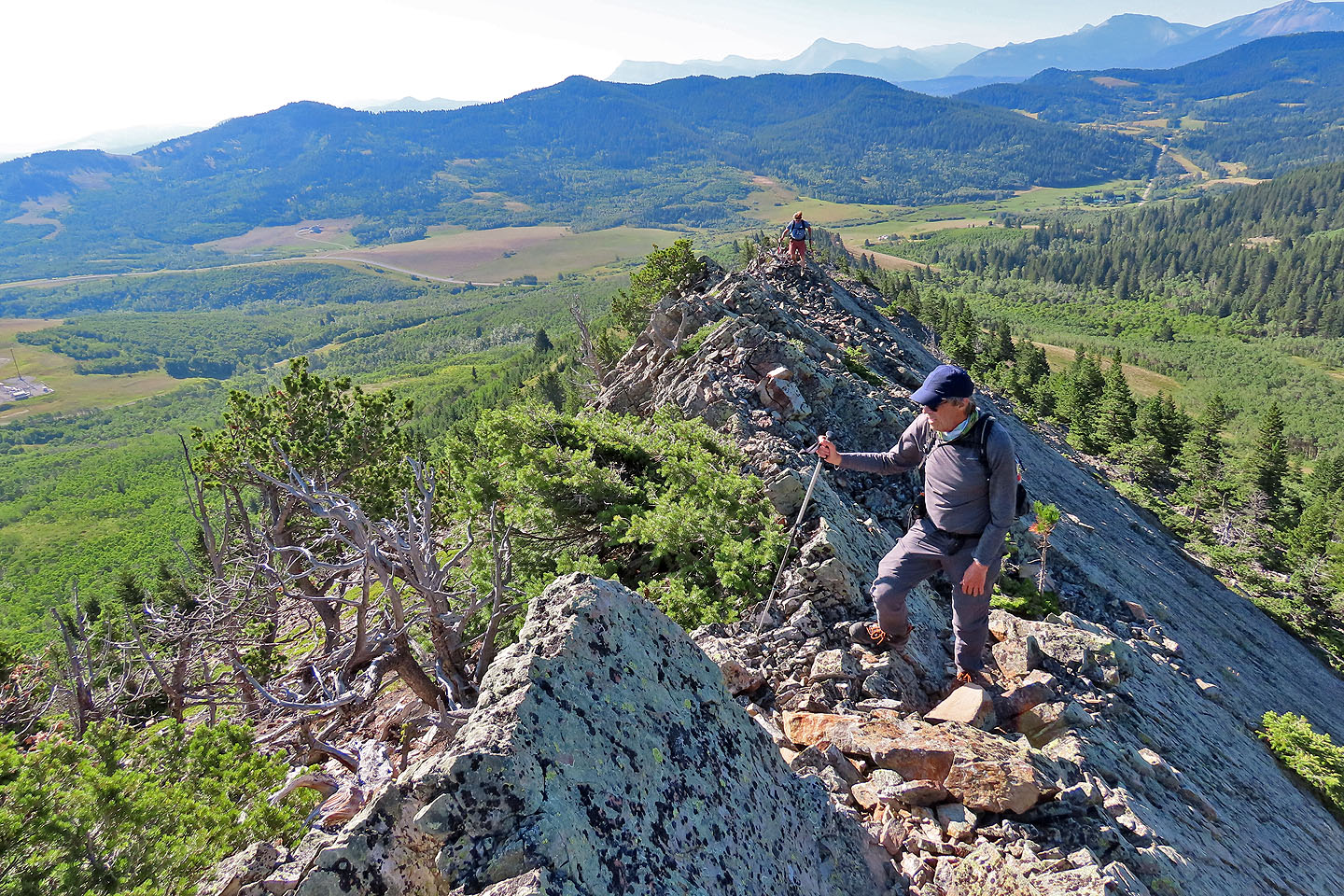
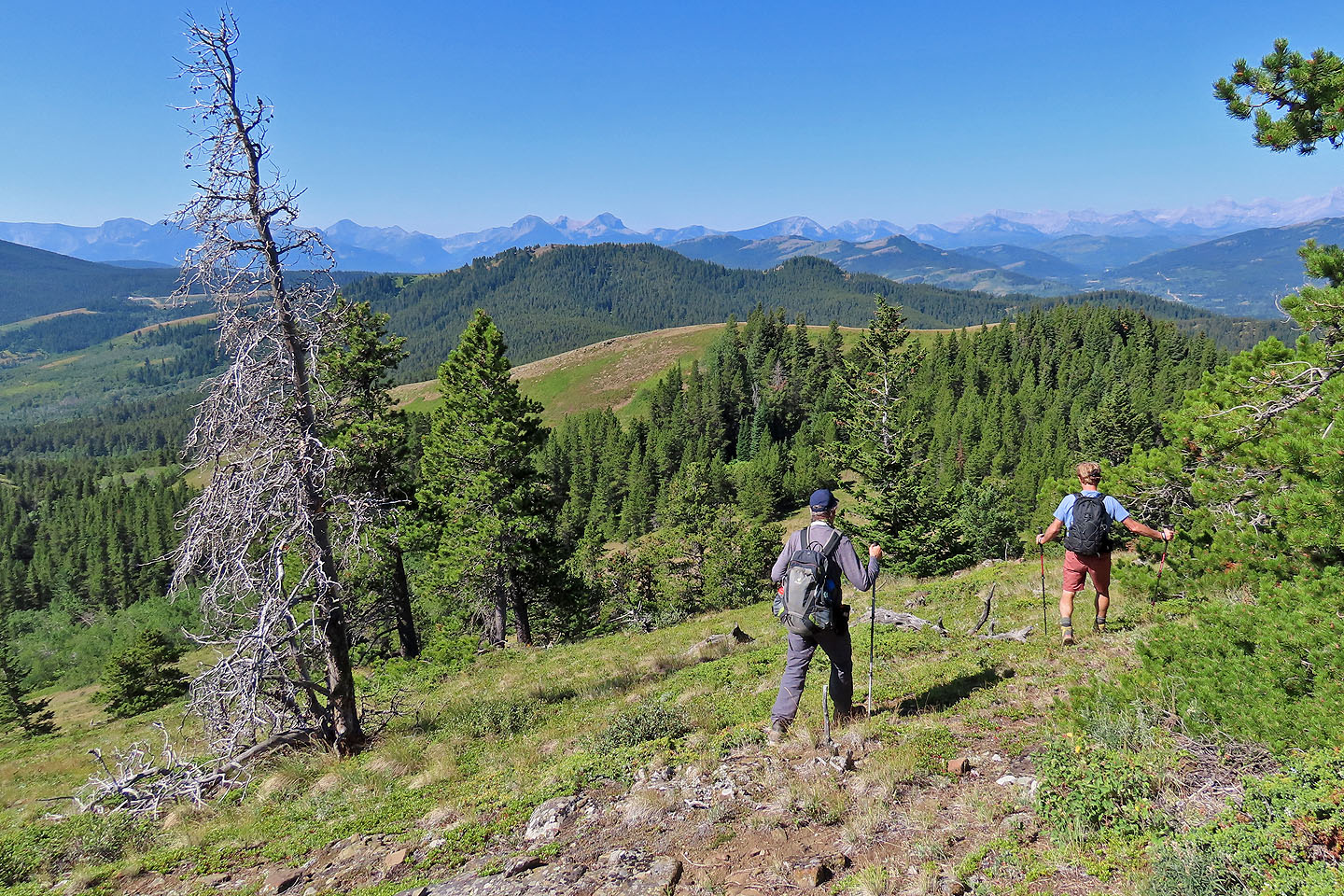
Doug and Harry (centre) started down while I took photos
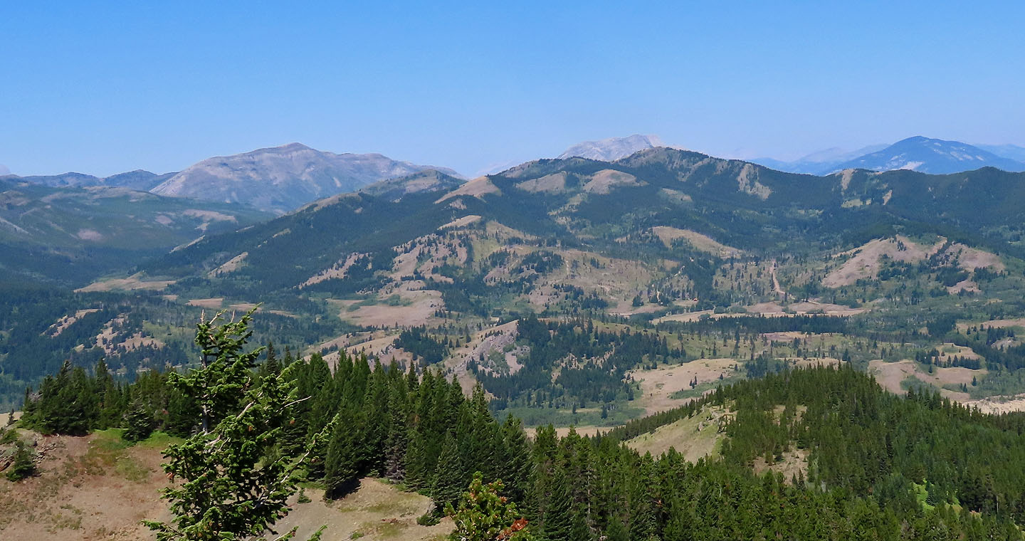
We had a pleasant stroll down the south ridge. Mount Backus on the right.
I eventually caught up to my companions
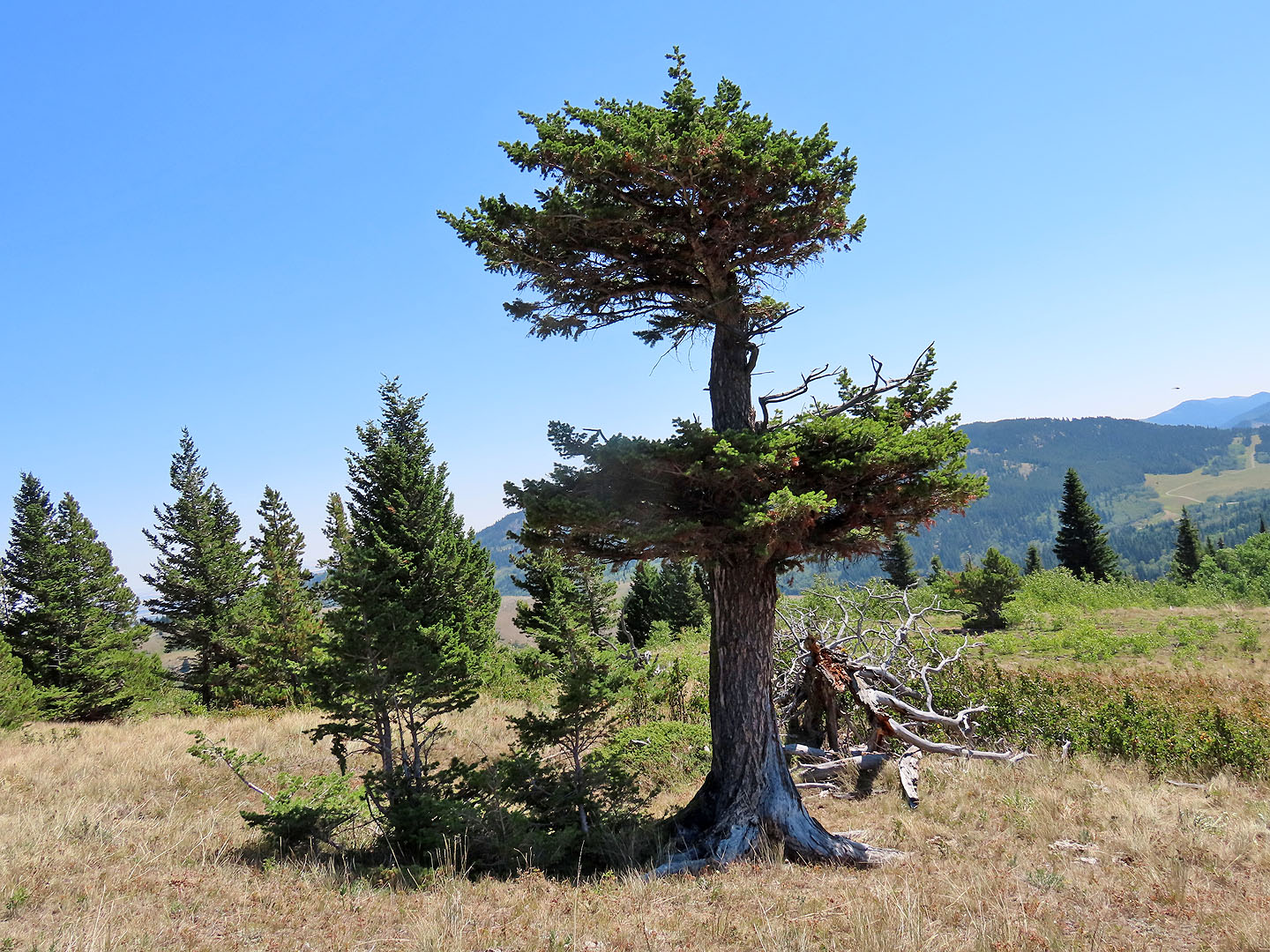 We passed an arresting limber pine (seen in the previous photo)
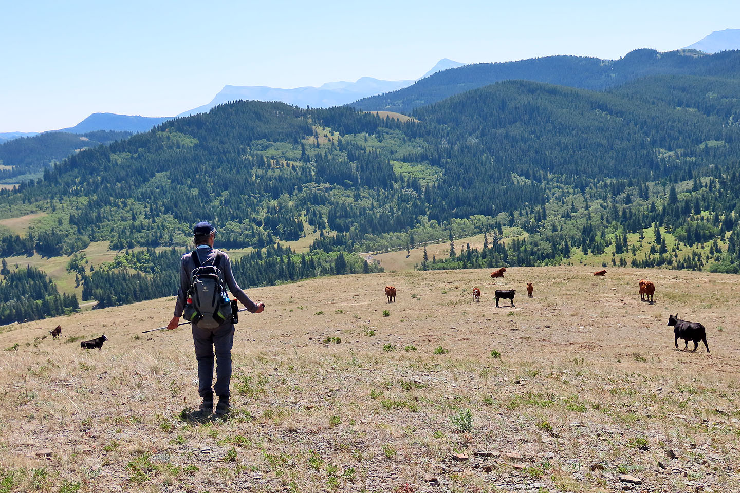
We also passed cows grazing
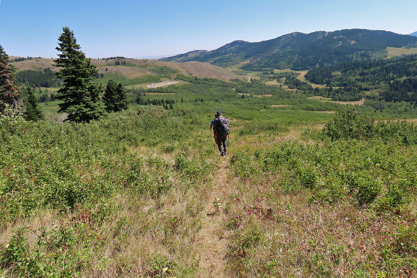
We found the shortcut trail and started down
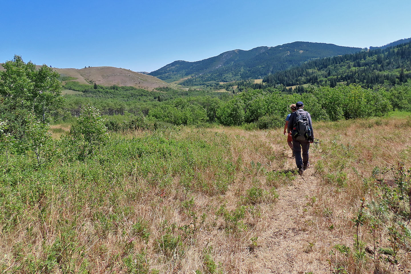
We easily followed the trail down to the road
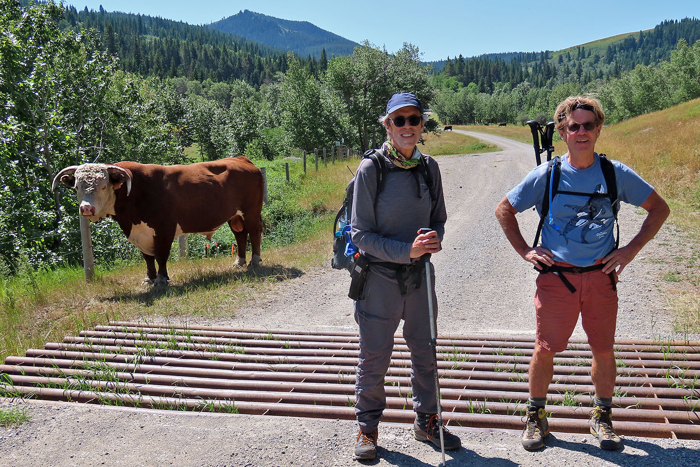
Harry and Doug and an unnamed bull at the cattle guard
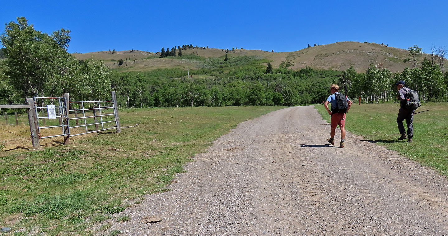
The trail comes out at the gate that allows easy egress. No climbing necessary. The sign reads No Unauthorized Motorized Access.
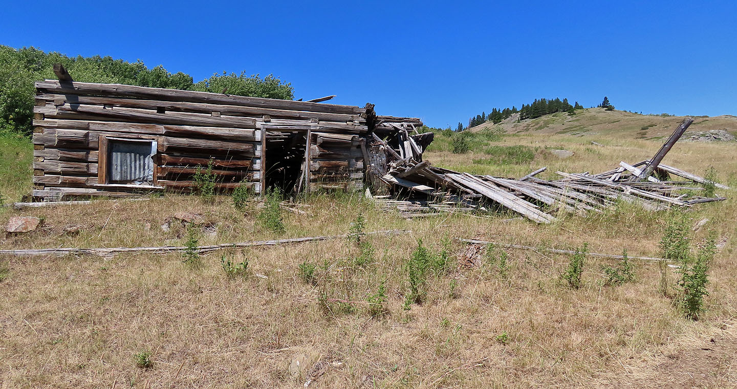
Before reaching our car, we passed a ramshackle homestead
 82 G/8 Beaver Mines