bobspirko.ca | Home | Canada Trips | US Trips | Hiking | Snowshoeing | MAP | About
Hillcrest Mountain
Crowsnest Pass, Alberta
March 31, 2007
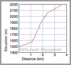
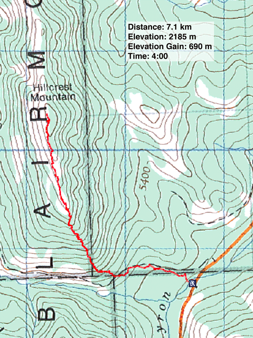
Distance: 7.1 km (4.4 mi)
Cumulative Elevation Gain: 700 m (2297 ft)
The forecast didn't look promising so hoping to find better weather south, we drove to Crowsnest Pass and set off for Hillcrest Mountain.
We had no prior knowledge of the mountain, but after studying a map, I saw an auspicious route: we could hike up a 4x4 road a short way before leaving it to head up the south end of the mountain. Although we weren't, in fact, able to escape the bad weather, we were able to find our way to the summit.
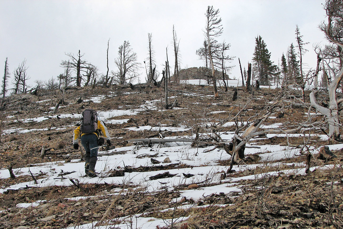
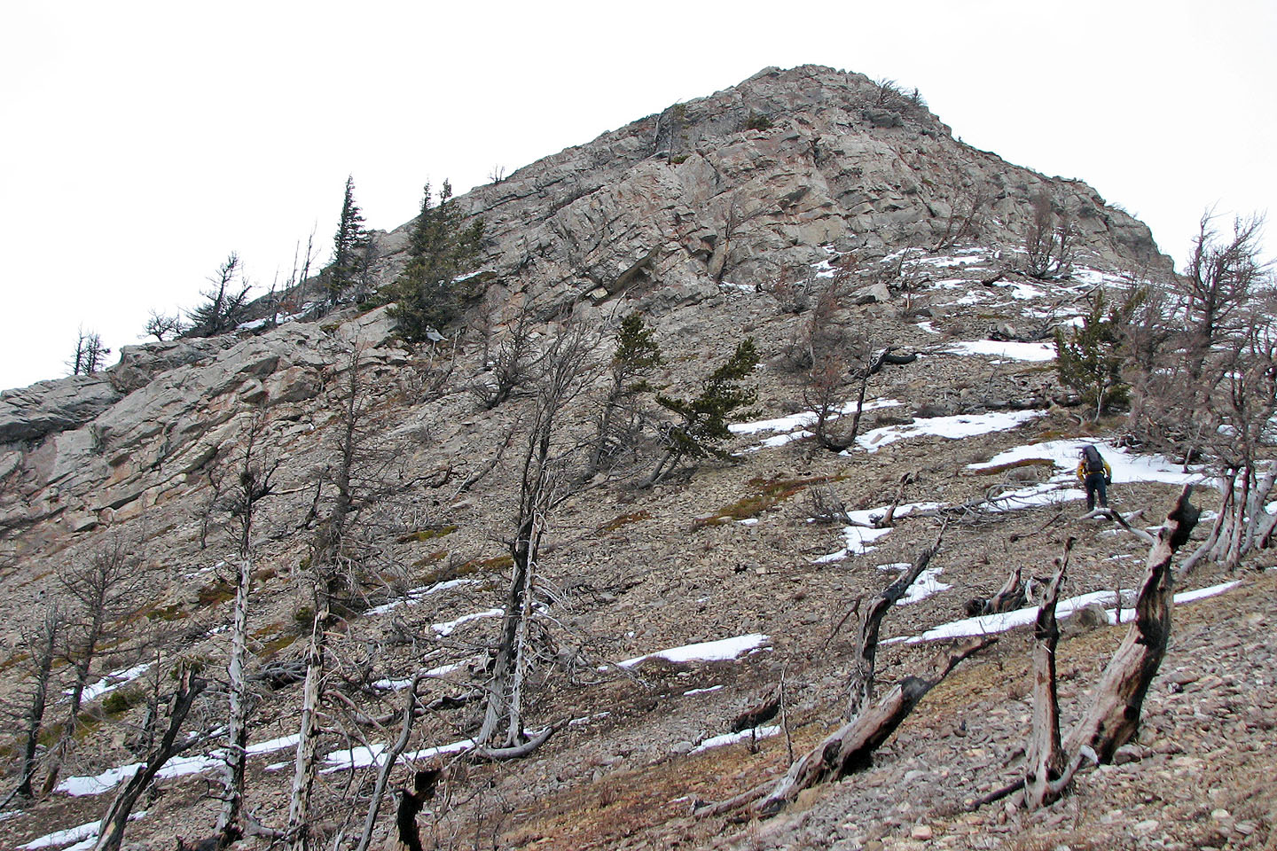
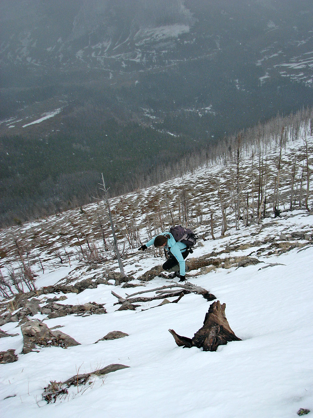
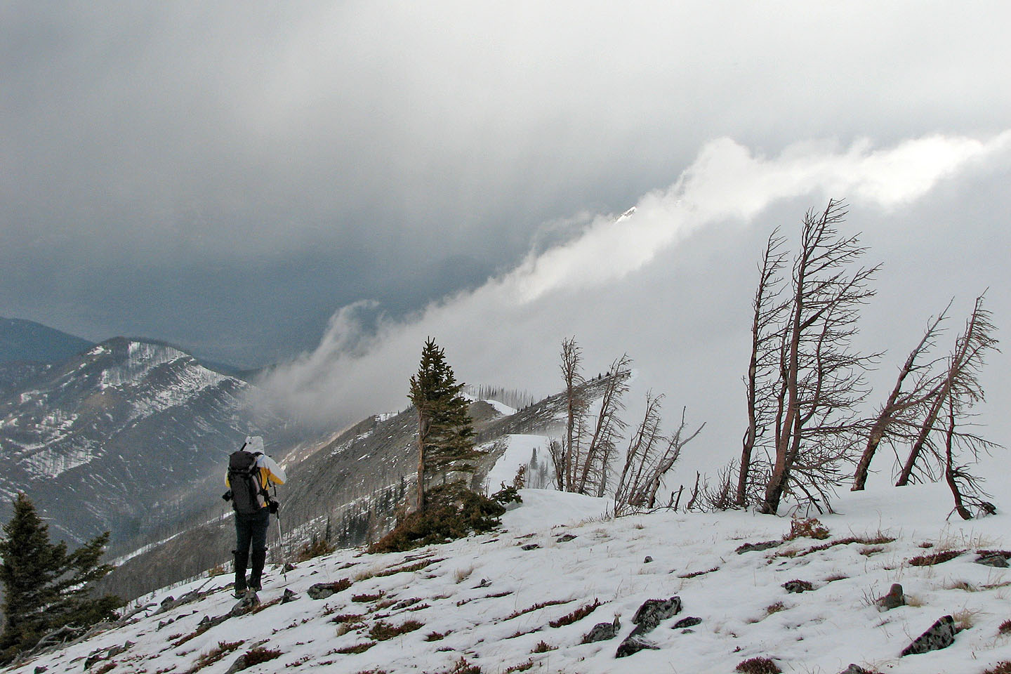
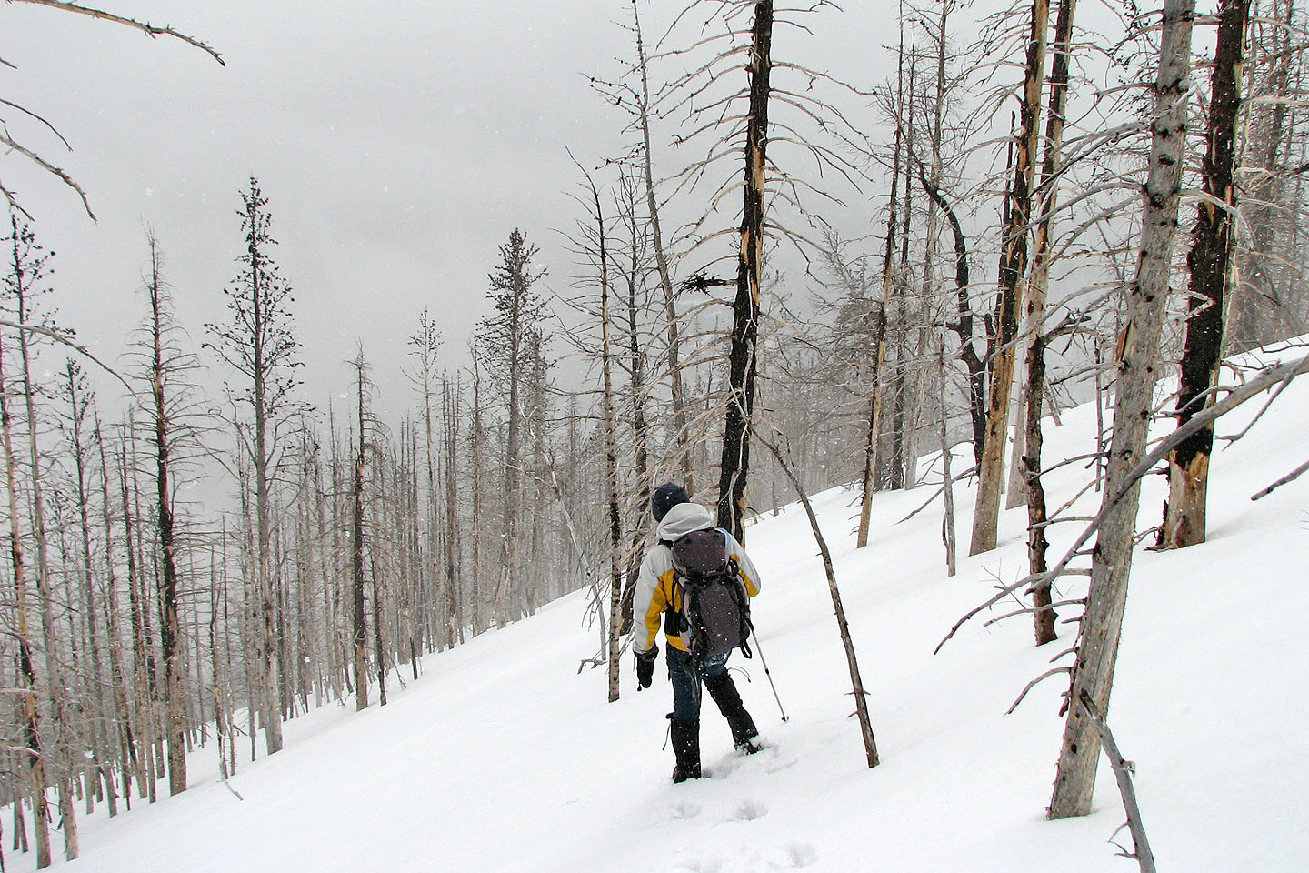
Hiking up the slope, there was no bushwhacking: a forest fire had swept the area and left bare trees standing. Just below the ridge, we scrambled easily up a short cliff band. Otherwise the trip was just a hike.
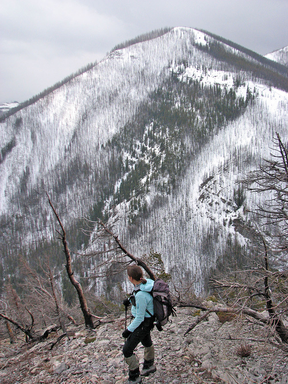
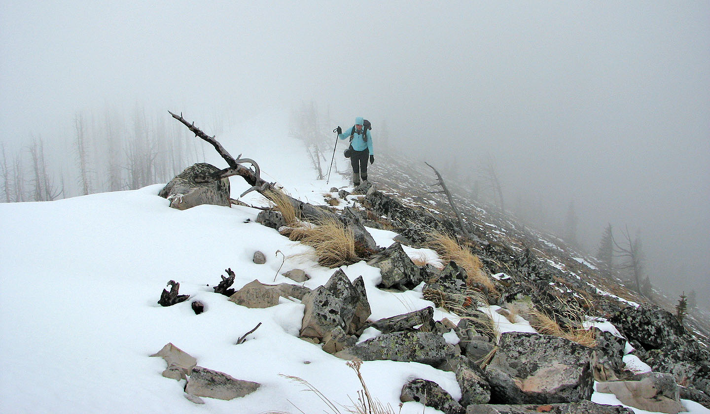
Once on the ridge, we plodded to the summit. Unfortunately low clouds and falling snow obscured our views the entire trip. We saw little of nearby Turtle Mountain to the north or the Flathead Range to the West, and it was pointless to take a summit panorama. Still, it was nice to venture in a different area when there are few climbs so early in the season.
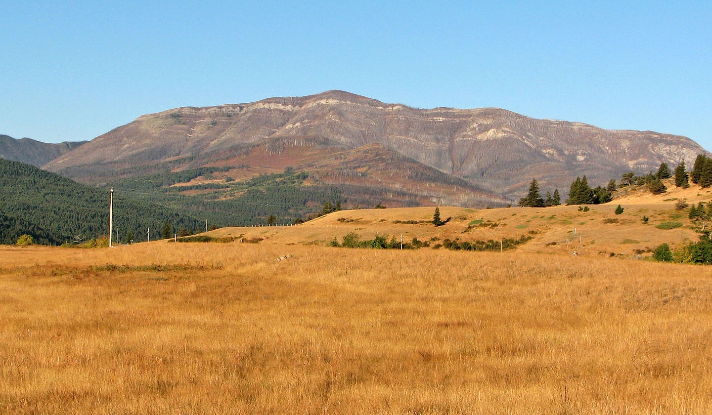
Hillcrest Mountain on a clear, late summer day
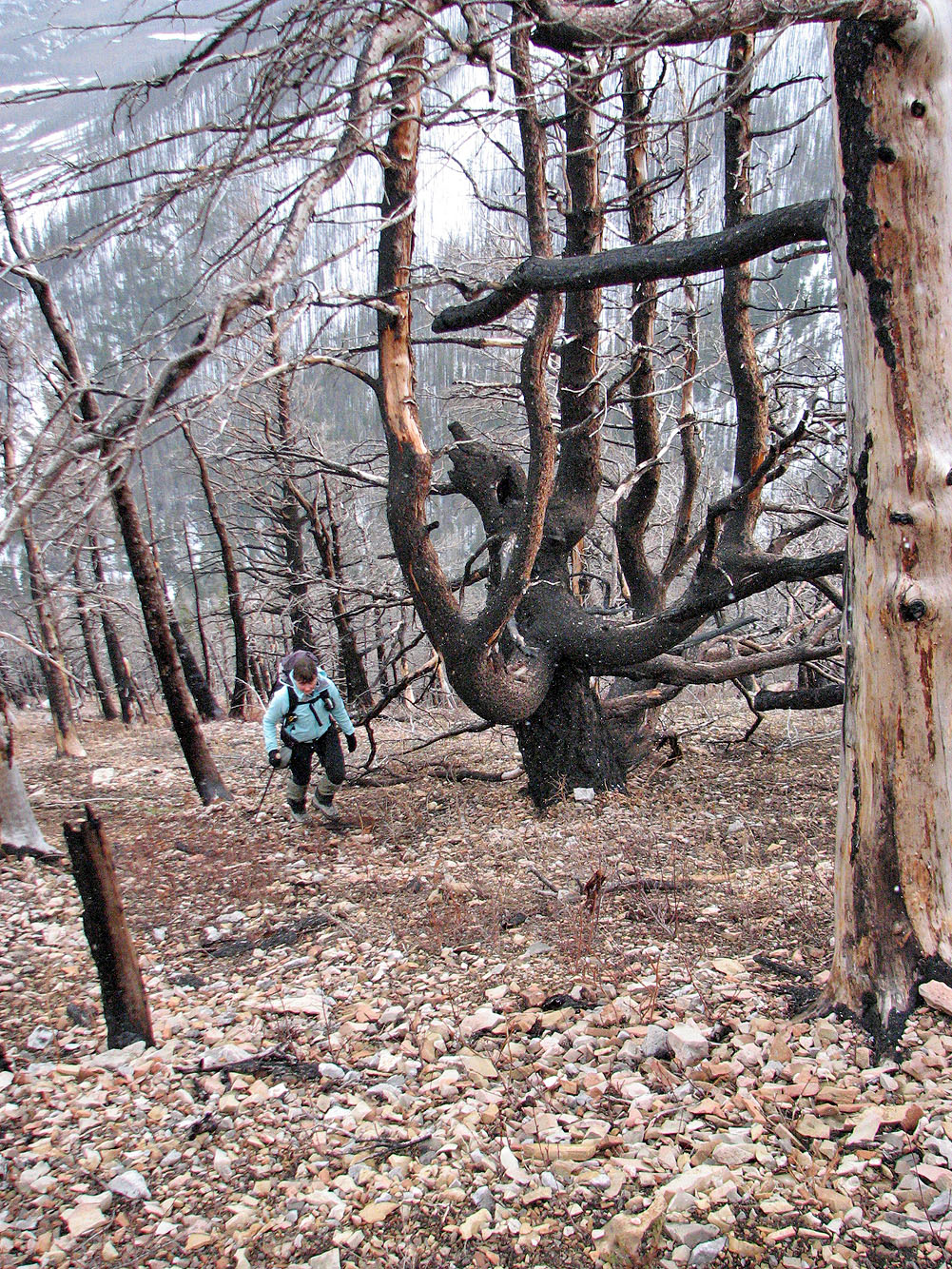
Coming up the slope full of dead trees
Unnamed peak to the south
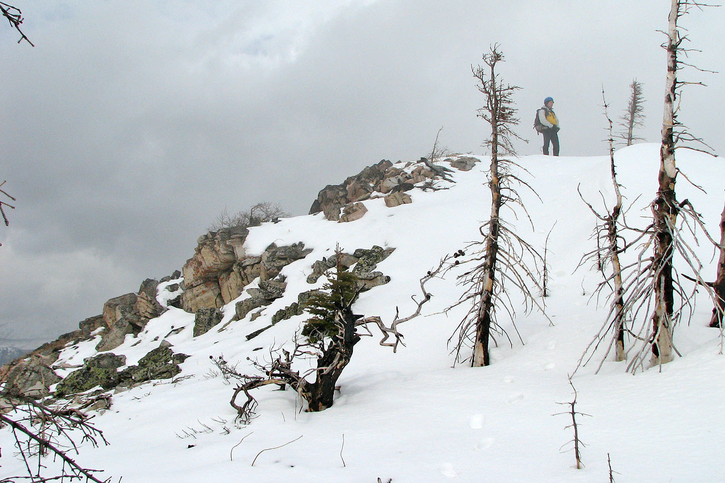
The top of the cliff band appears
We skirted right and below the rock band
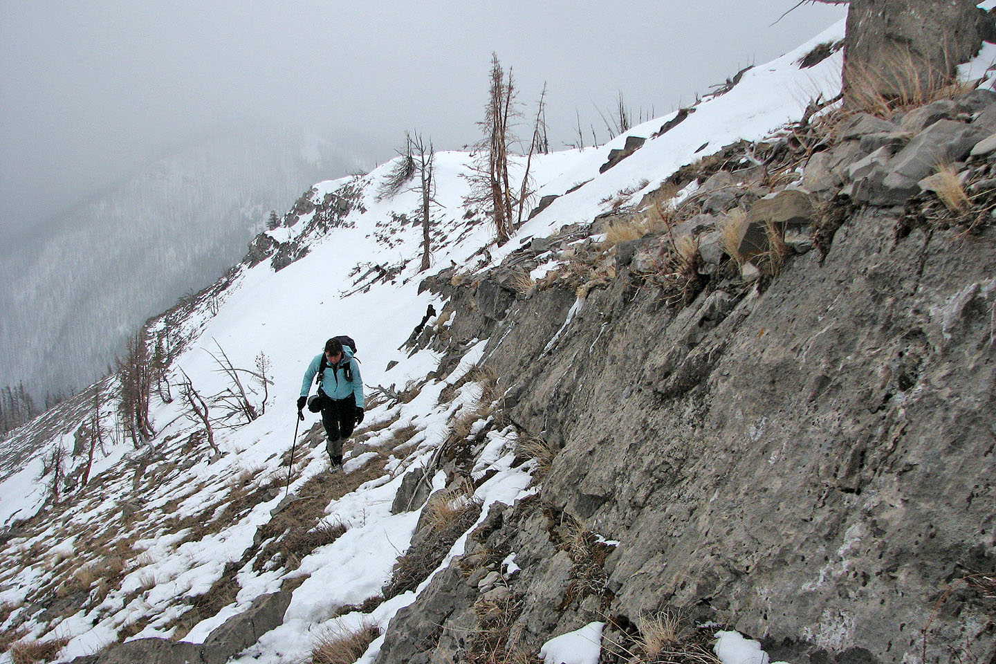
Following alongside the short cliff band
Scrambling up the cliff band
Another view shows the valley below
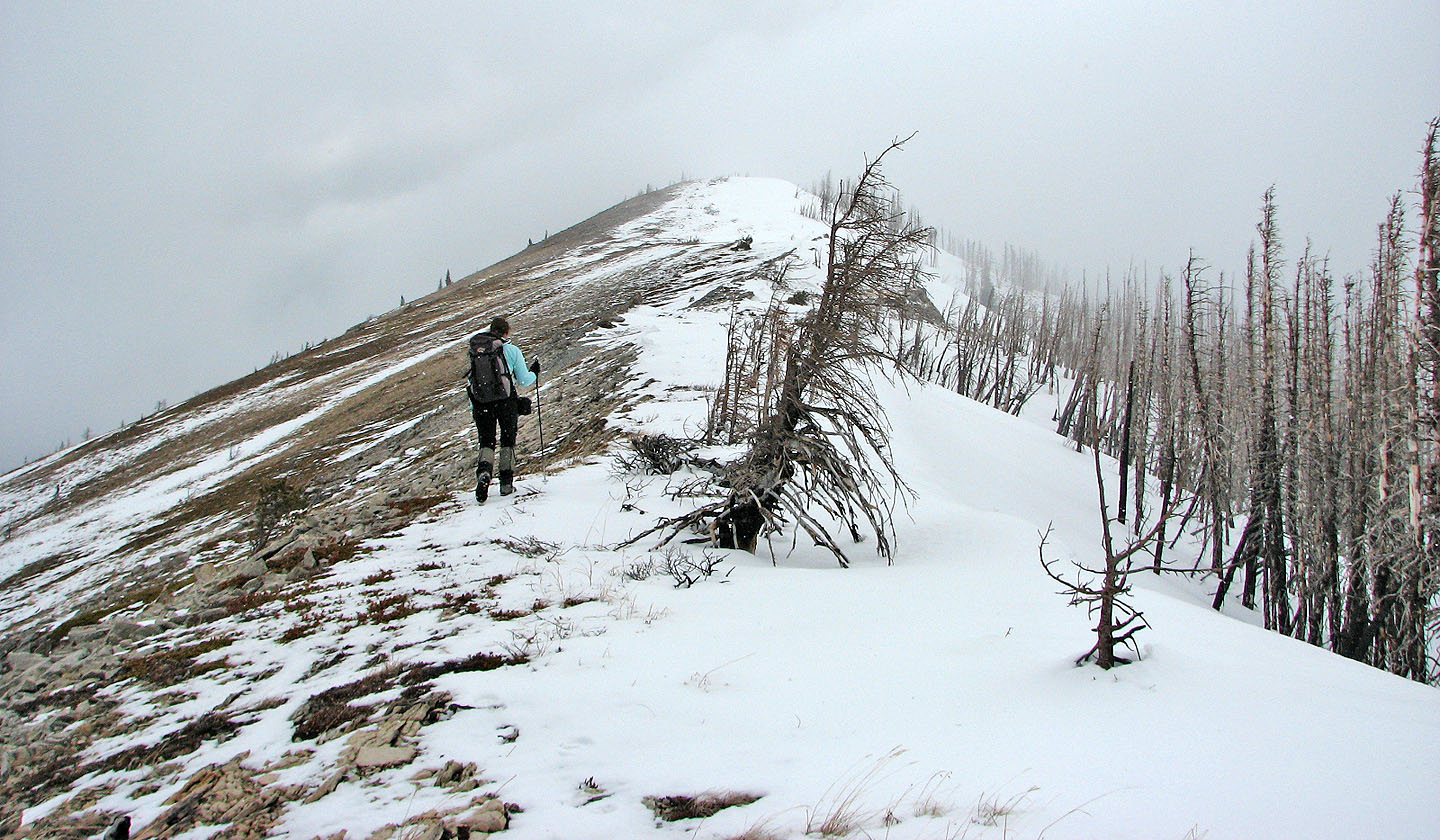
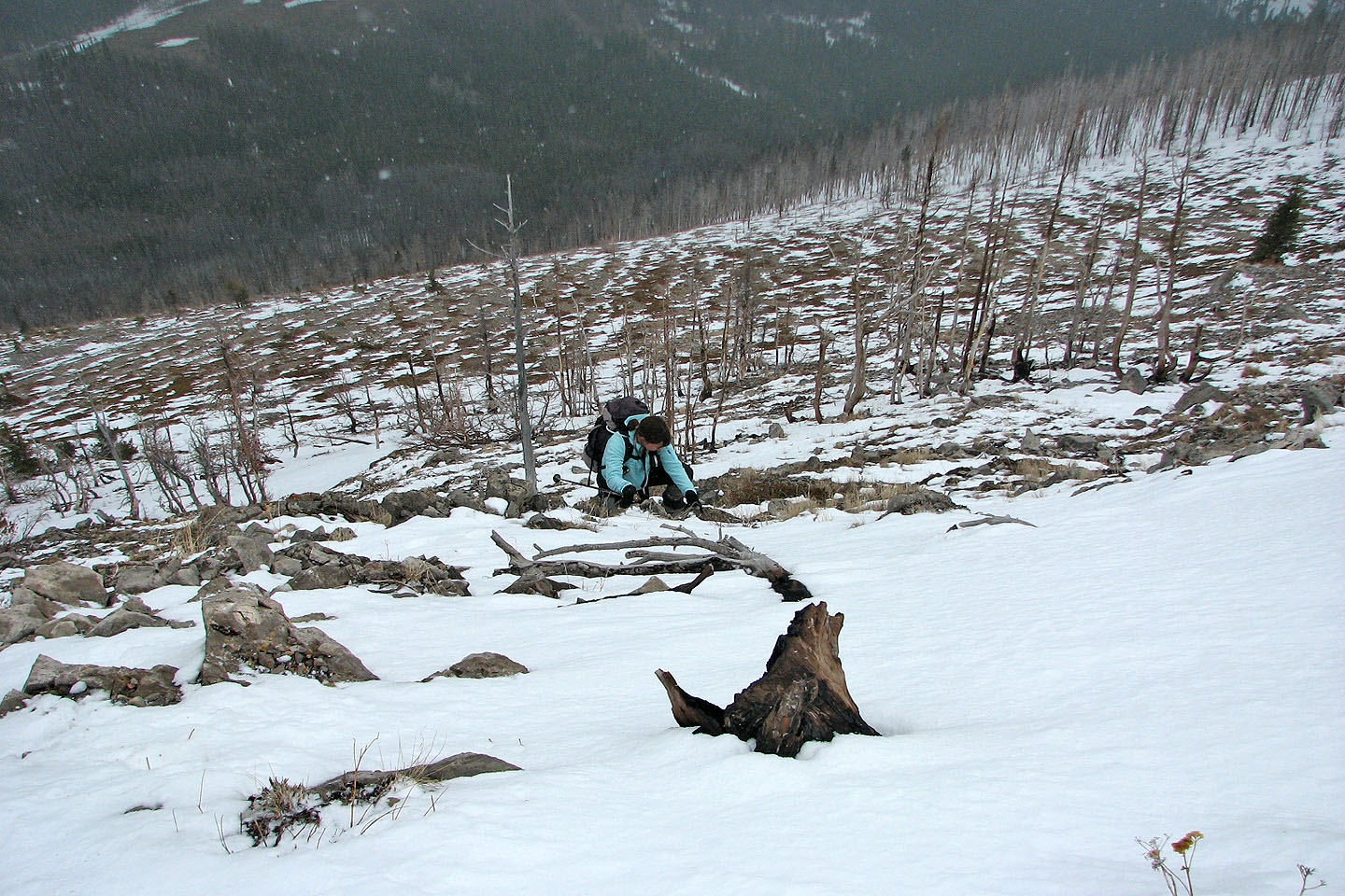
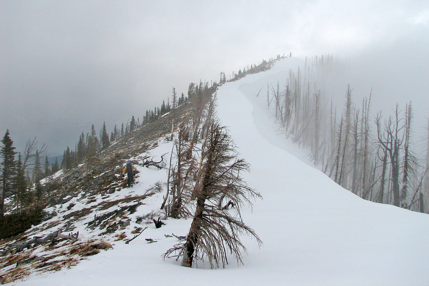
Typical travel along the ridge to the summit...
...with a couple of snowy sections like this
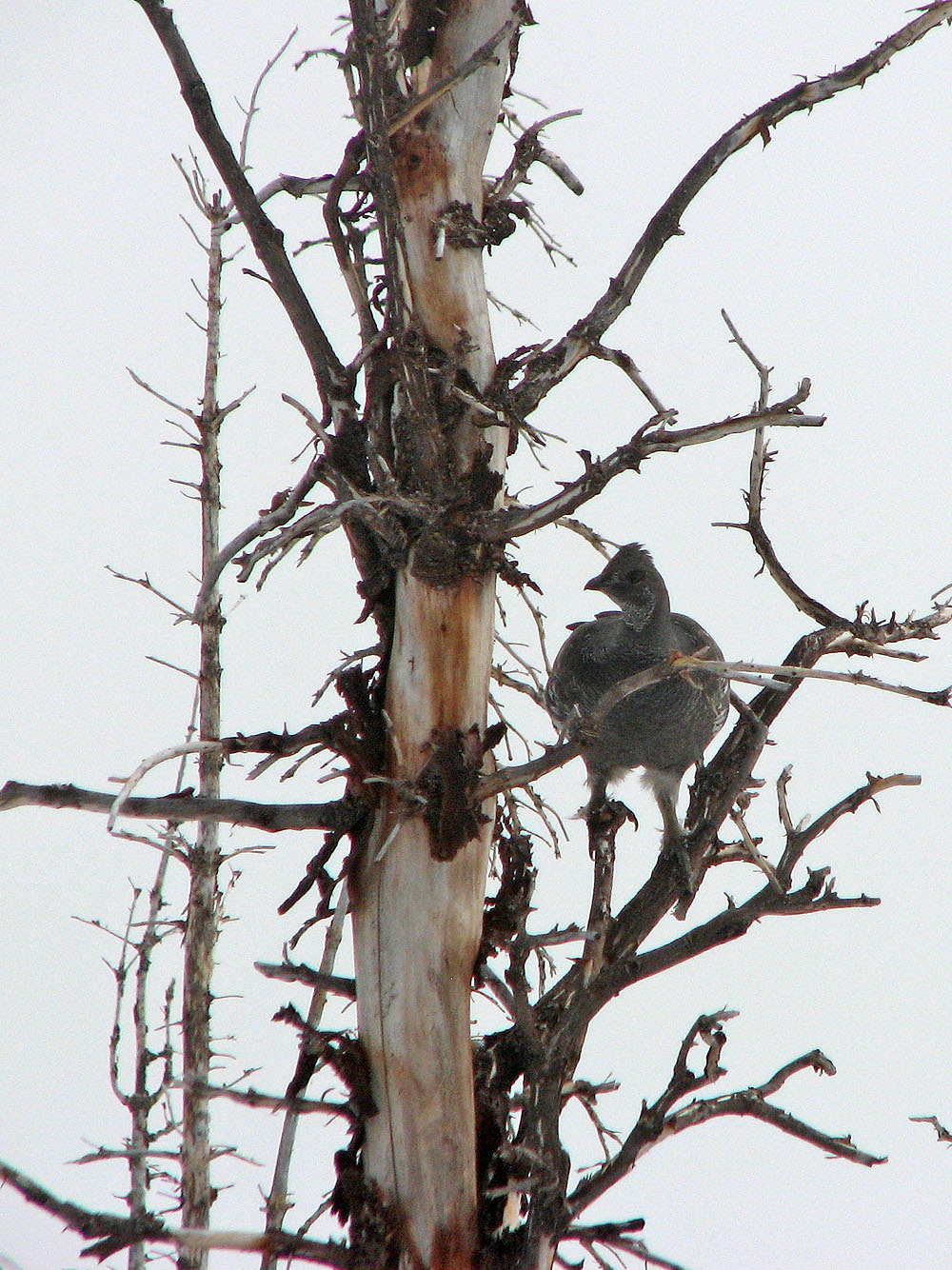
Grouse in a dead tree
The summit lies ahead
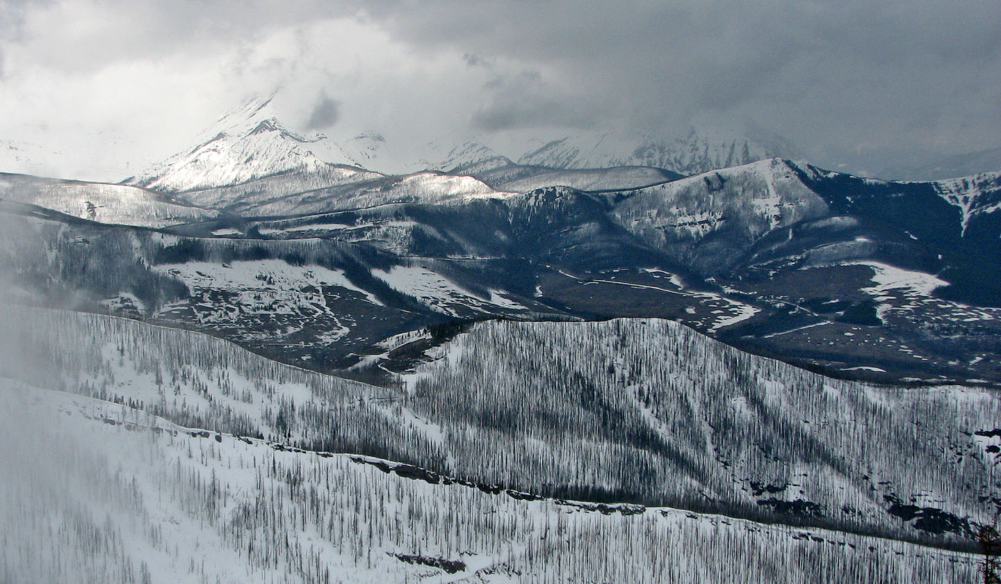
Flathead Range
Almost at the summit
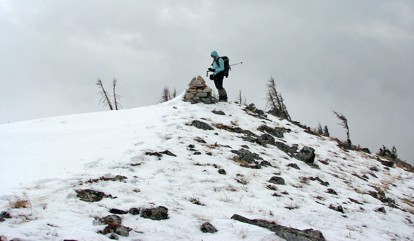
Dinah checks the elevation on the summit with her GPS receiver
Turtle Mountain was hidden in cloud
On the descent, we made good time by using the snow-covered slopes
82 G/9 Blairmore