bobspirko.ca | Home | Canada Trips | US Trips | Hiking | Snowshoeing | MAP | About
Fish Hook Ridge
Kananaskis, Alberta
April 21, 2026
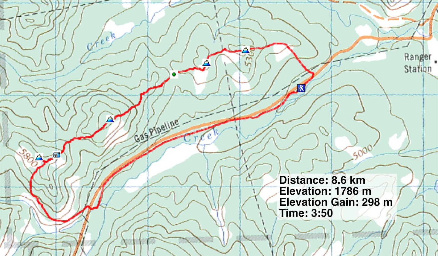
Distance: 8.6 km (5.3 mi)
Cumulative Elevation Gain: 492 m (1614 ft)
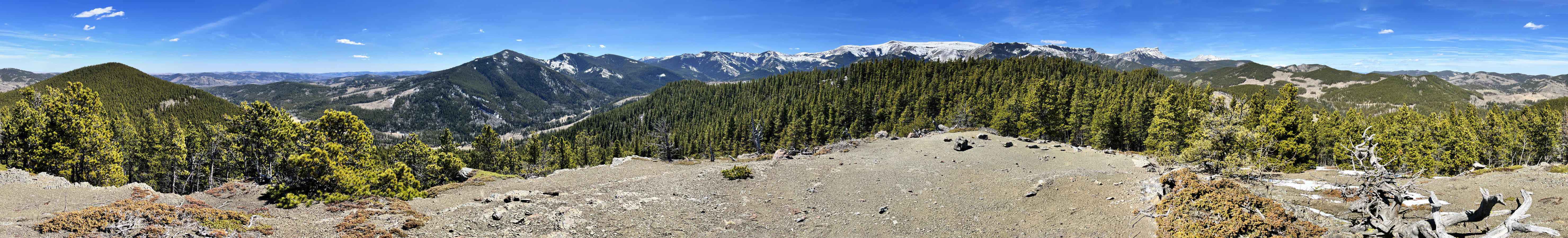
Kananaskis Country Trail Guide describes a loop over the ridge east of Fish Hook Pass. I considered this short trip until I saw Sonny’s February trip that included the ridge west of the pass. The entire traverse includes four high points. The summit views are limited because of trees, but Sonny pointed out a bare bump with a 360° view near the last high point. That got my attention. He called the ridge Fish Hook Ridge.
Following Sonny’s route, Brian Couronne, Harry Raymaakers, and I parked at Indian Graves Vehicle Staging Area and traversed the ridge east to west, before dropping down to Highway 532 and walking back to our car. However, we took shortcuts that knocked off over a kilometre. Notably, we found a scenic animal trail below the last high point that ran nearly a kilometre down to the road.
Before starting, we were delayed twice. First, a sheriff’s SUV stopped next to us in the parking lot. The friendly officer wasn’t checking park passes as they aren’t required here. Perhaps he wanted a break from cruising the back roads. He was a retired police officer from Medicine Hat who worked occasionally as a reservist. I suggested he join us, but he thumped his bullet-proof vest, saying he had too much gear. I told him he might feel safer given the hunting in the area.
After he left, hunters pulled into the parking lot. We had passed them on the road earlier when a police car stopped them, presumably to check their hunting licences. One hunter approached us and told us it was bear season. We sorted out where each of us was going. He said they would stay low and fire their guns into the slope and not at the ridgetop where we were going. Good to know.
From the parking lot, we walked back up the road to the east end of Fish Hook Ridge. A trail through trees led to grassy slopes, and we soon reached the ridge with the first high point ahead. Trees on the summit blocked views, but the nearby second high point offered a far-reaching view west. We dropped down to Fish Hook Pass and climbed the third and highest point, where a small cairn marked the treed summit. We continued west along the ridge.
The highlight of the ridge was the bald bump. We spent several minutes looking around before plunging back into the trees. Before reaching the fourth high point, we came to an imposing rock towering over our heads. We walked 100 m to the fourth high point and headed back to the rock.
A few metres before reaching the rock, we spied an irresistible corridor running down the forest slope. So straight and narrow it could be mistaken for a cutline. We quickly dropped down 100 m. At the bottom, the corridor bent left before ending in the forest.
Keeping left and staying high, we soon found an animal trail. It was intermittent at first but soon became an easy-to-follow, continuous path. It ran for hundreds of metres high above the north fork of Johnson Creek, mostly along open slopes. We followed it to where it conveniently ended at the road. We had a pleasant 2.5 km walk back to the parking lot.
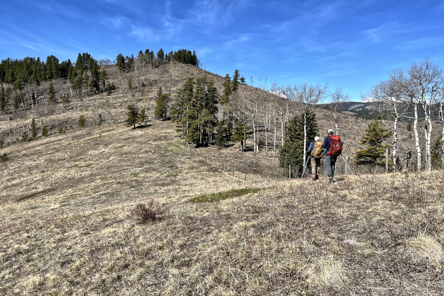
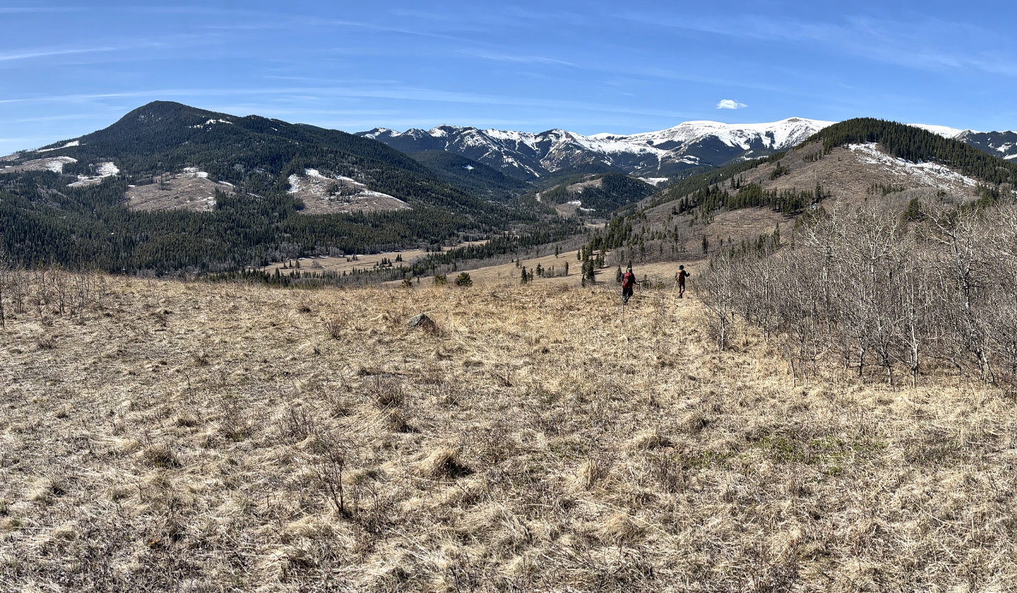
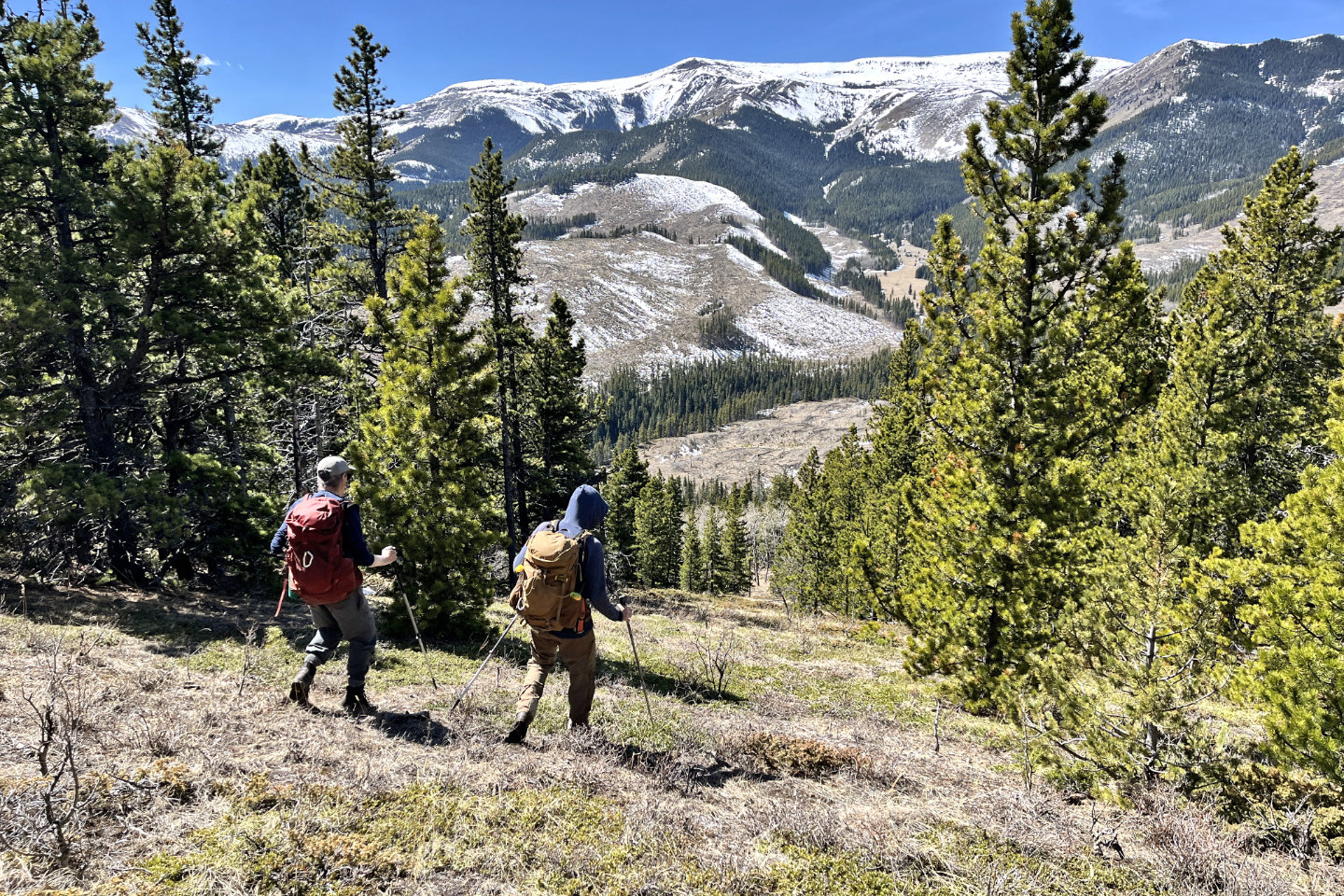
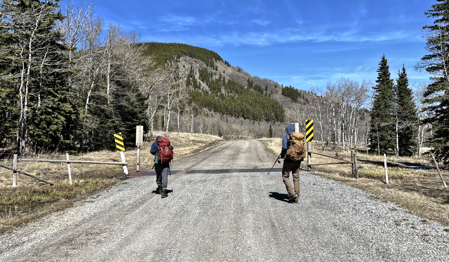
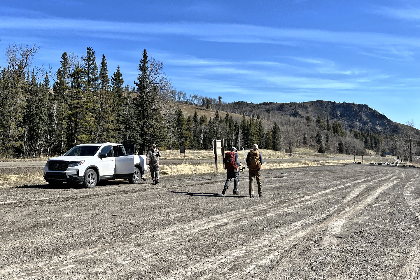 From the parking lot, we headed to the end
of the ridge (centre), passing the hunter we talked to
From the parking lot, we headed to the end
of the ridge (centre), passing the hunter we talked to
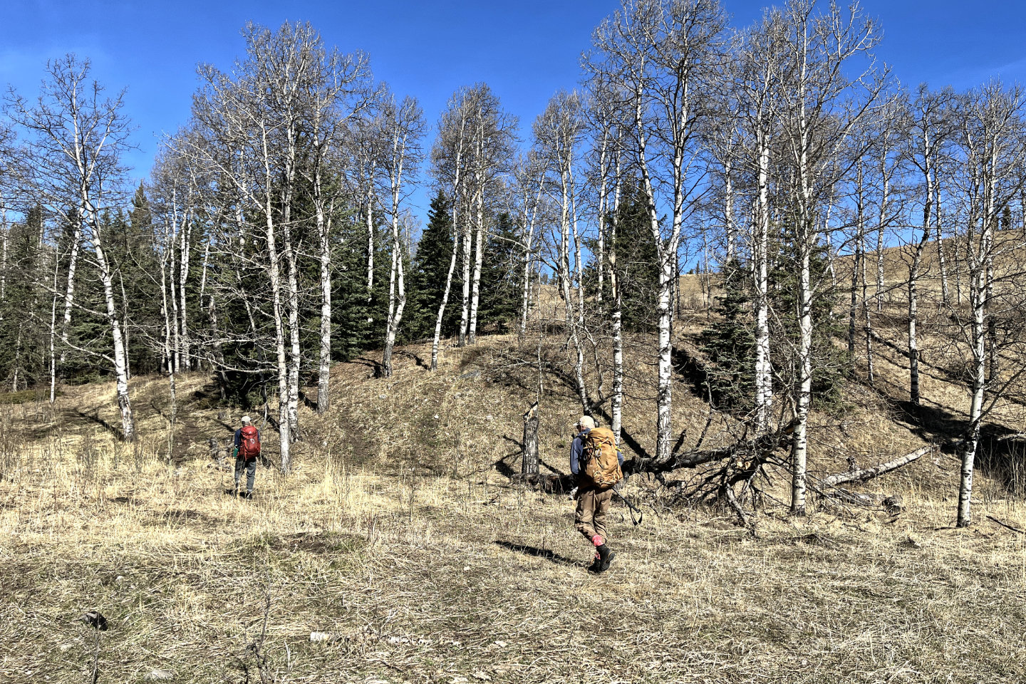 A short trail led to an open slope
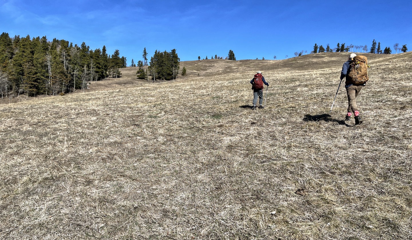 Heading to the ridgetop
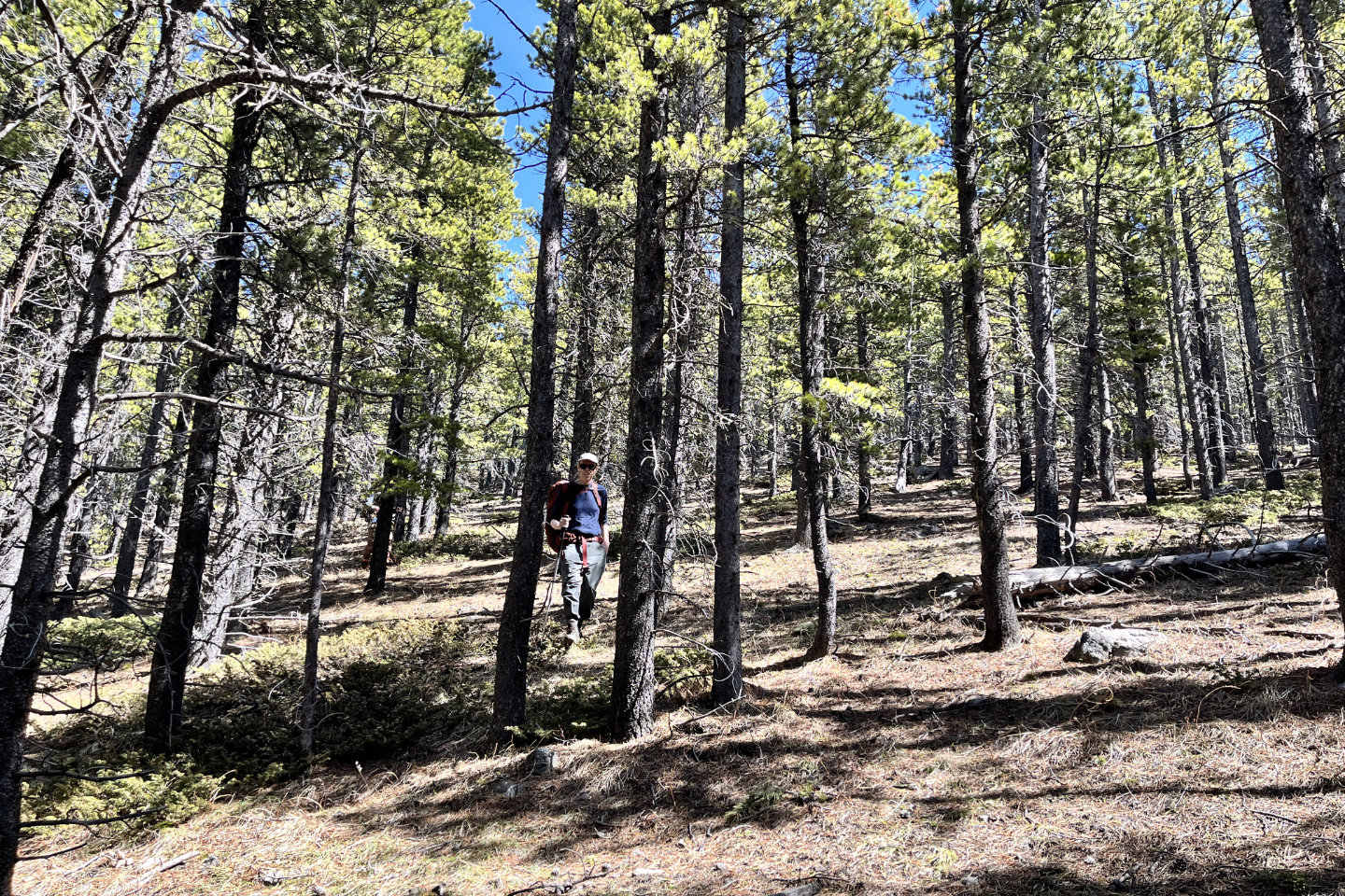
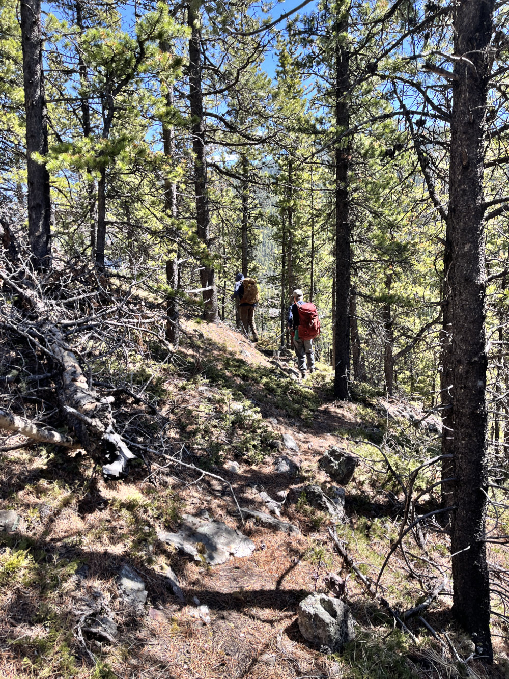
 On the ridge going to the first high point
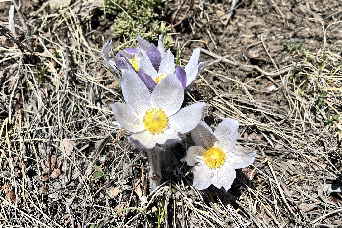 Pasque flower aka prairie crocus
 Looking back, Indian Graves Ridge on the
left
Looking back, Indian Graves Ridge on the
left
 The first high point was bereft of views
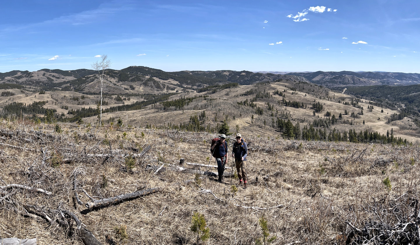
 The second high point offered views to the
west as we made our we down to Fish Hook Pass and the third high point.
The second high point offered views to the
west as we made our we down to Fish Hook Pass and the third high point.
 Looking back at the second high point
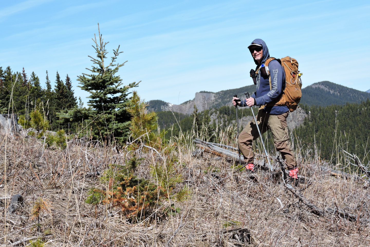
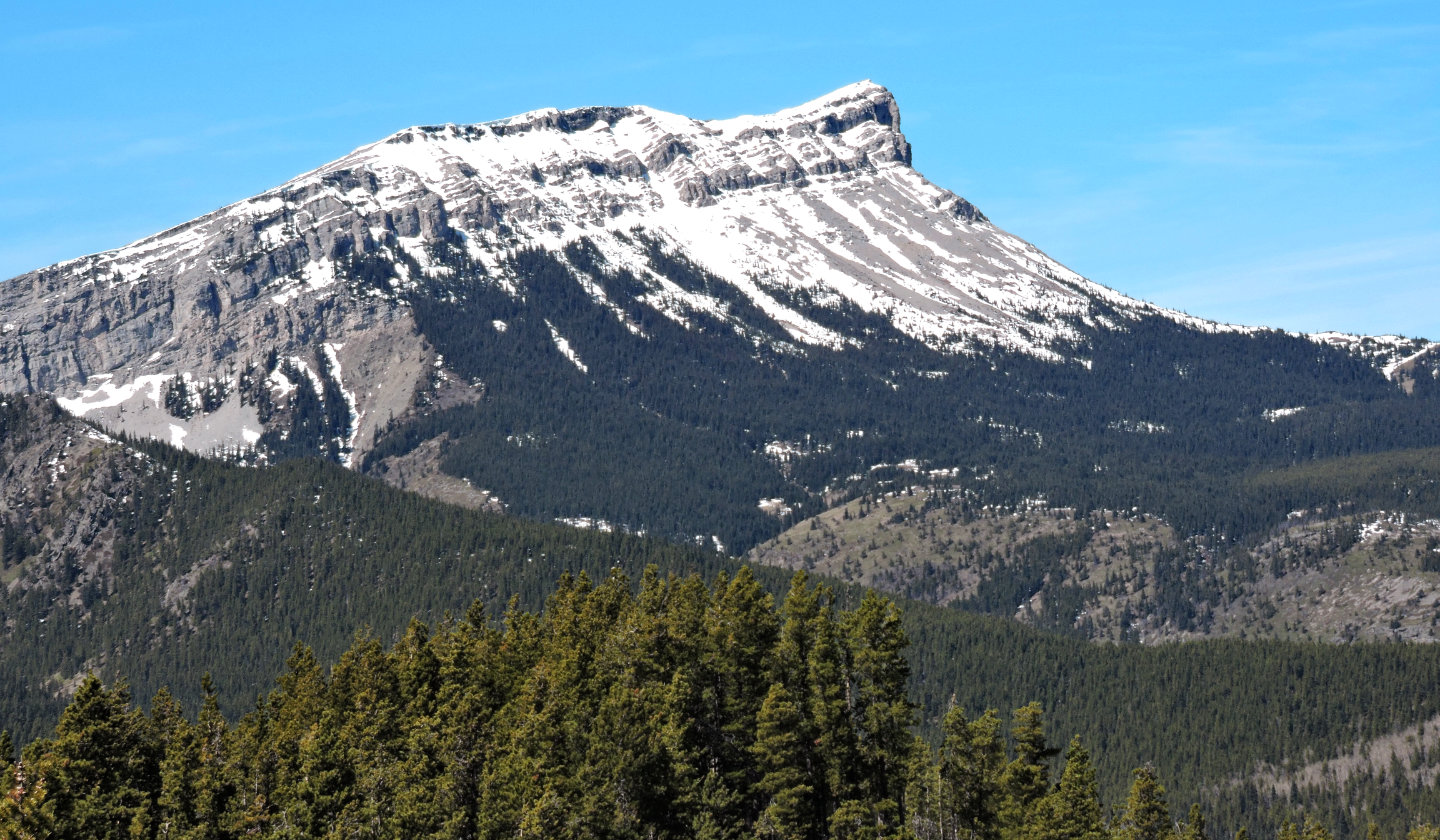
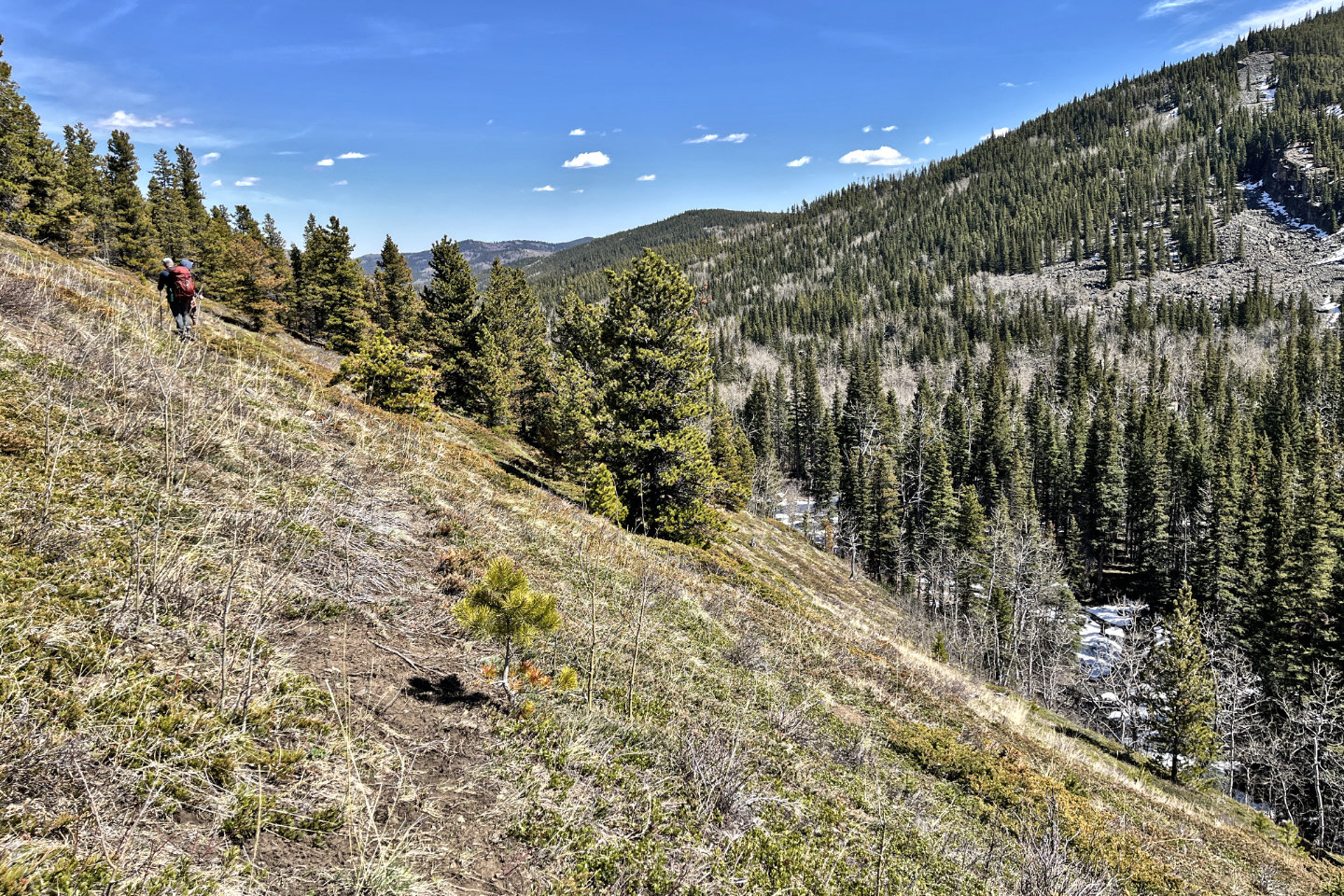
Brian makes his way up the slope with
Coral Creek Mountain in
the centre
 We took advantage of a trail as we headed to the top of the third high point
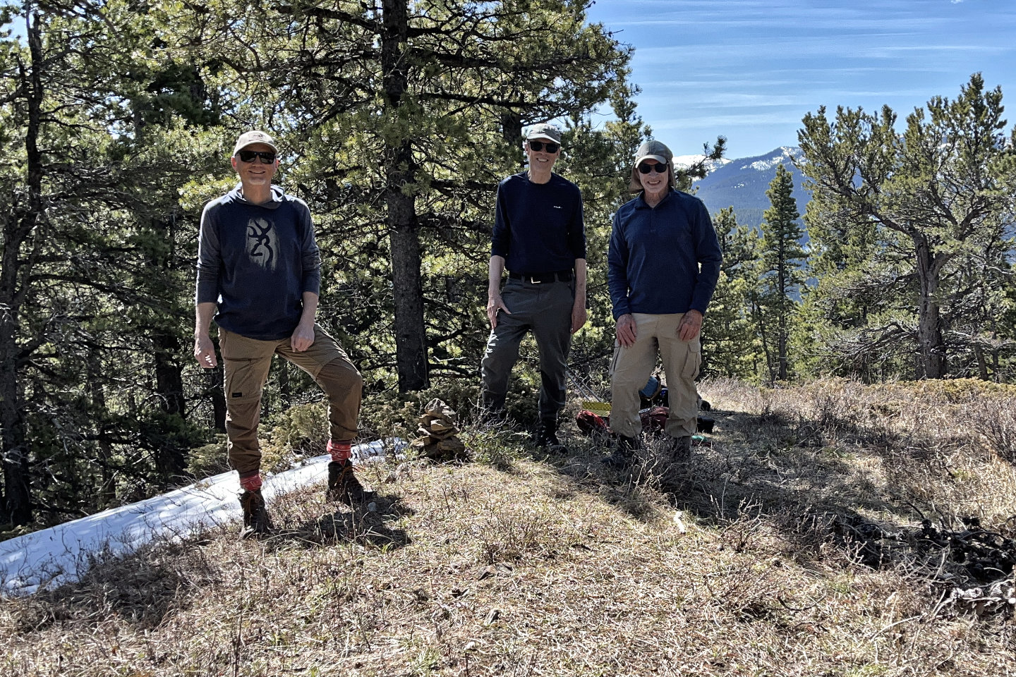 Brian, Harry and me at the cairn on the highest point
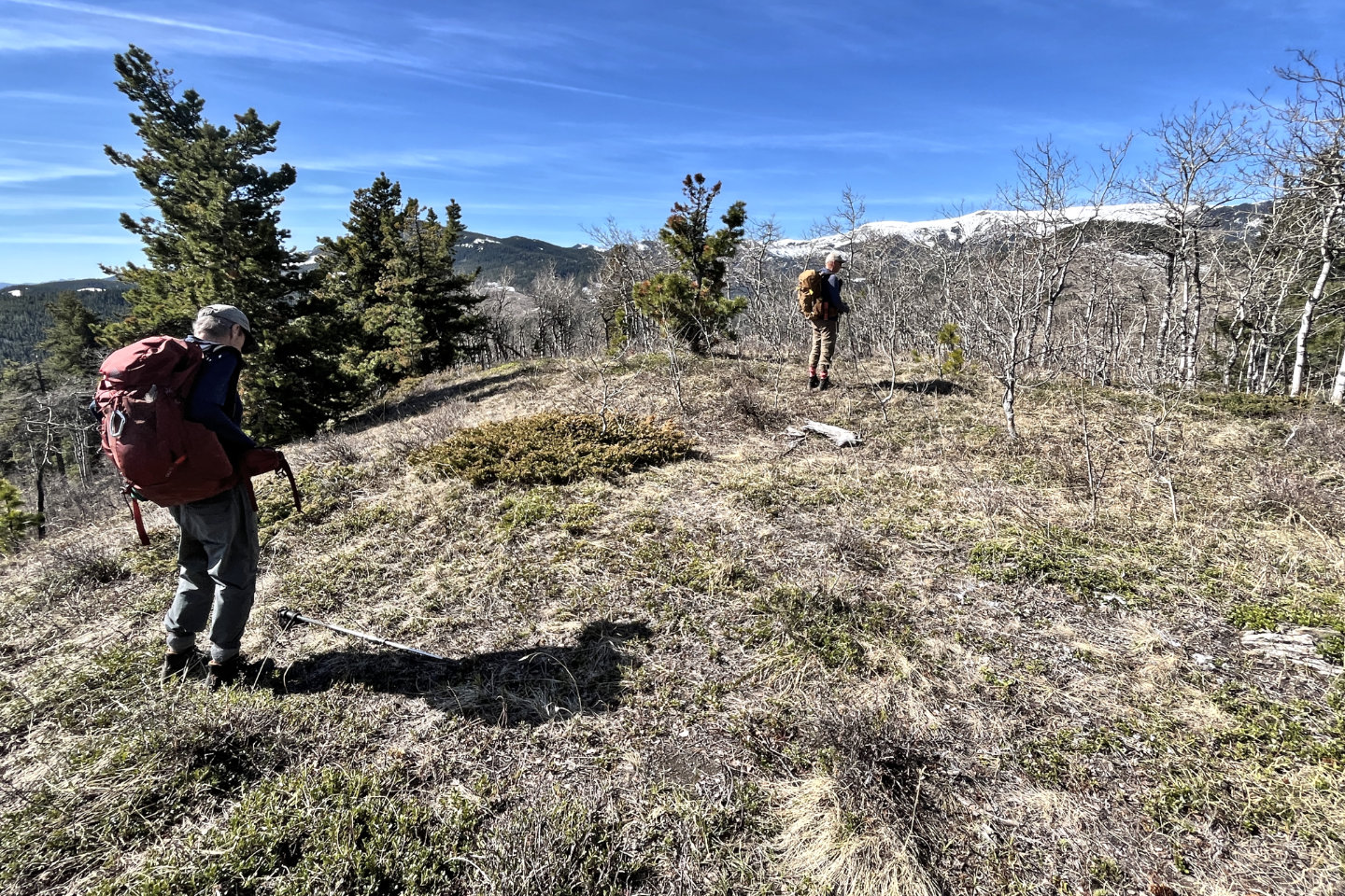
 Heading to the viewpoint before the fourth high point
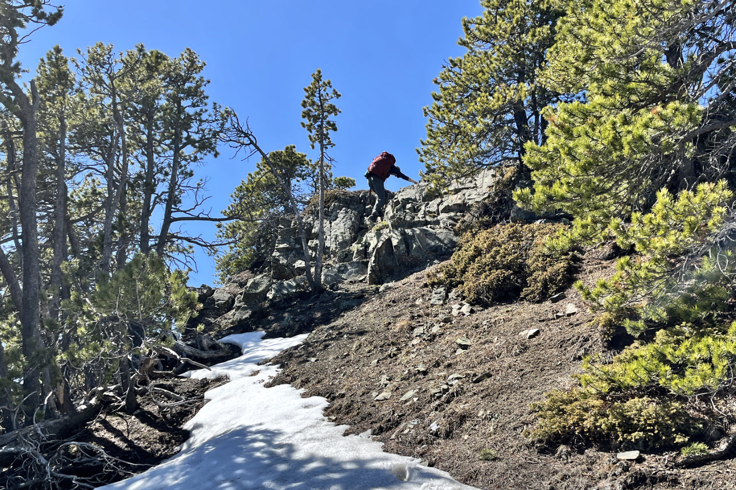 A brief scramble led to the viewpoint
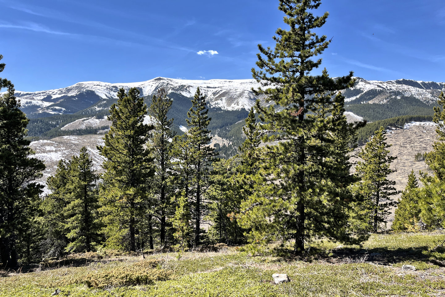
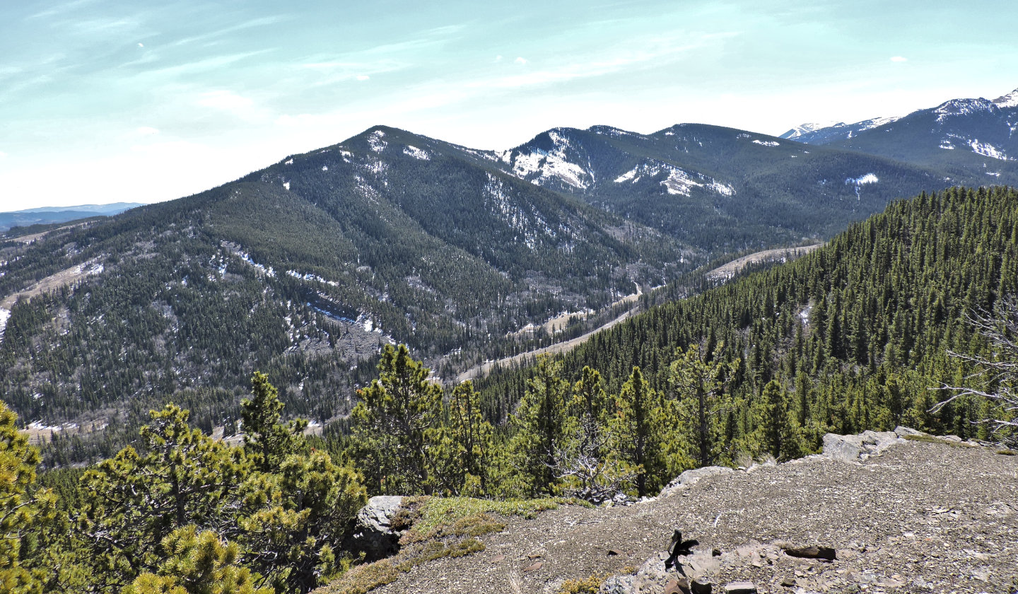 Johnson Creek Ridge south of the viewpoint
 Sentinel Peak lies northwest
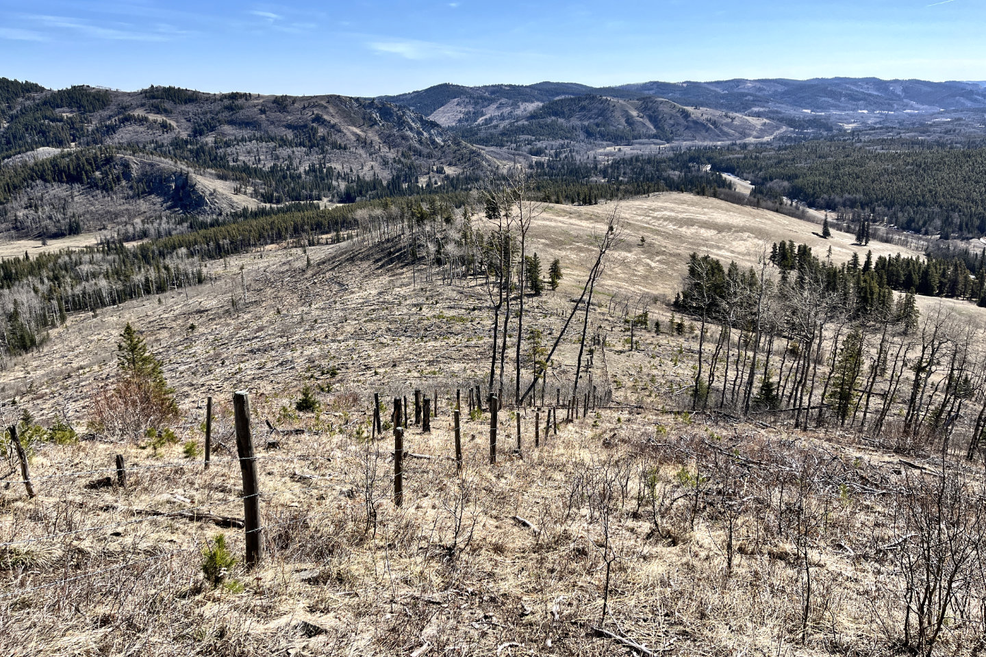
Cutline Ridge runs edge to edge in the photo. The gray rock in the centre is Coral Creek Mountain.
 The fourth high point was a short distance
away
The fourth high point was a short distance
away
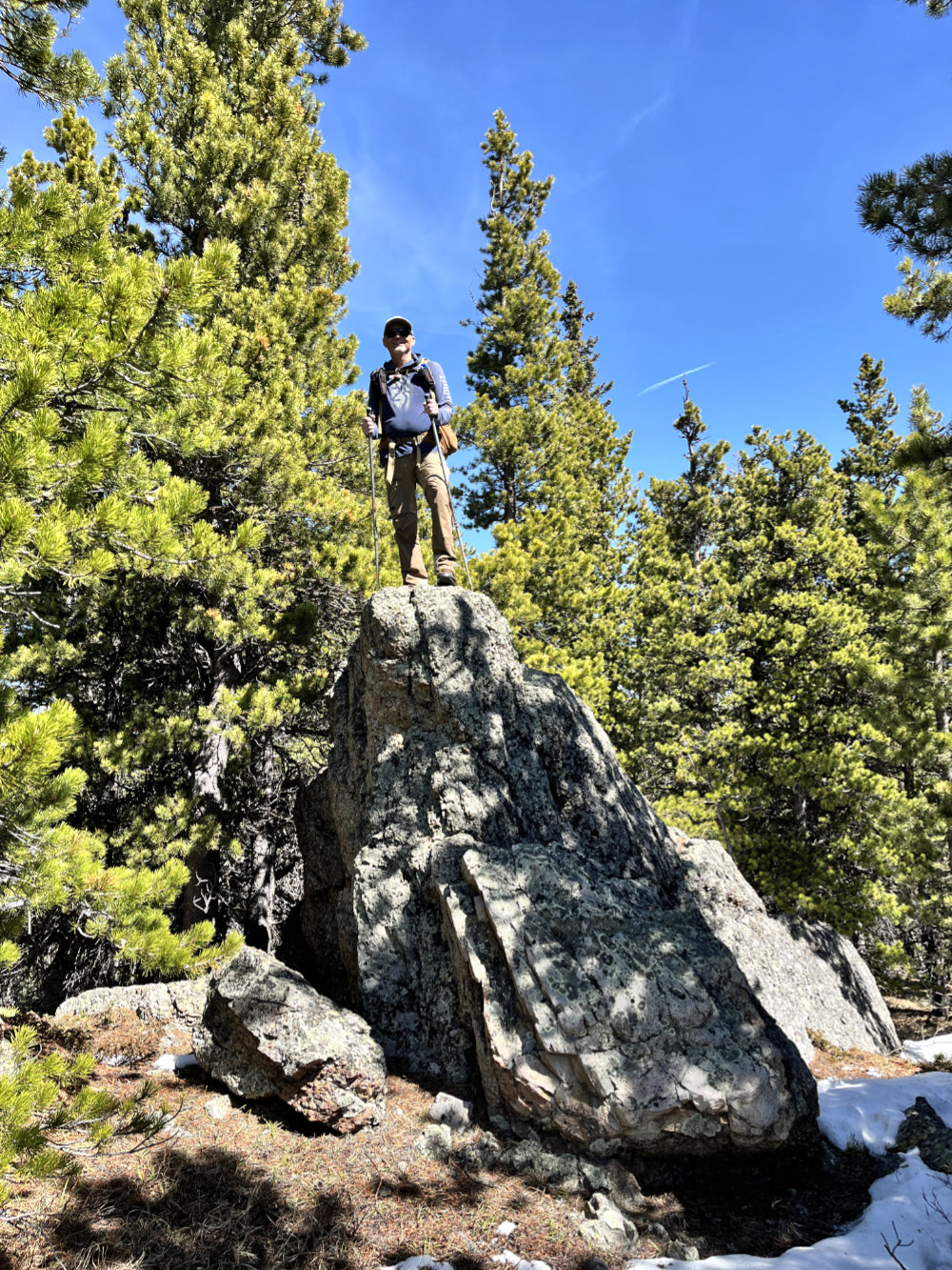
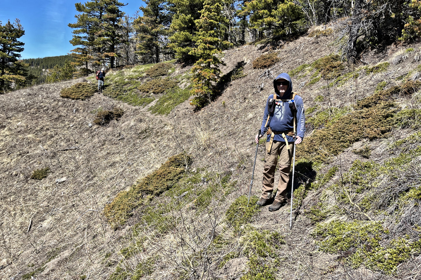
Brian poses on a rock before the fourth high point (mouse for his view)
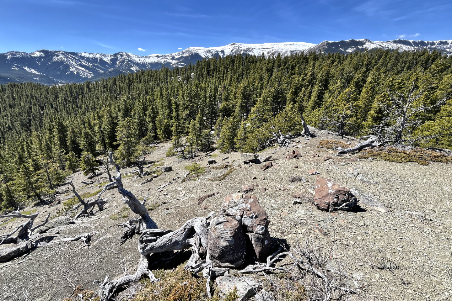
 Trees obscured the views on the fourth high
point
Trees obscured the views on the fourth high
point
 10 m west of the rock, we dropped 100 m down
a corridor in the trees
10 m west of the rock, we dropped 100 m down
a corridor in the trees
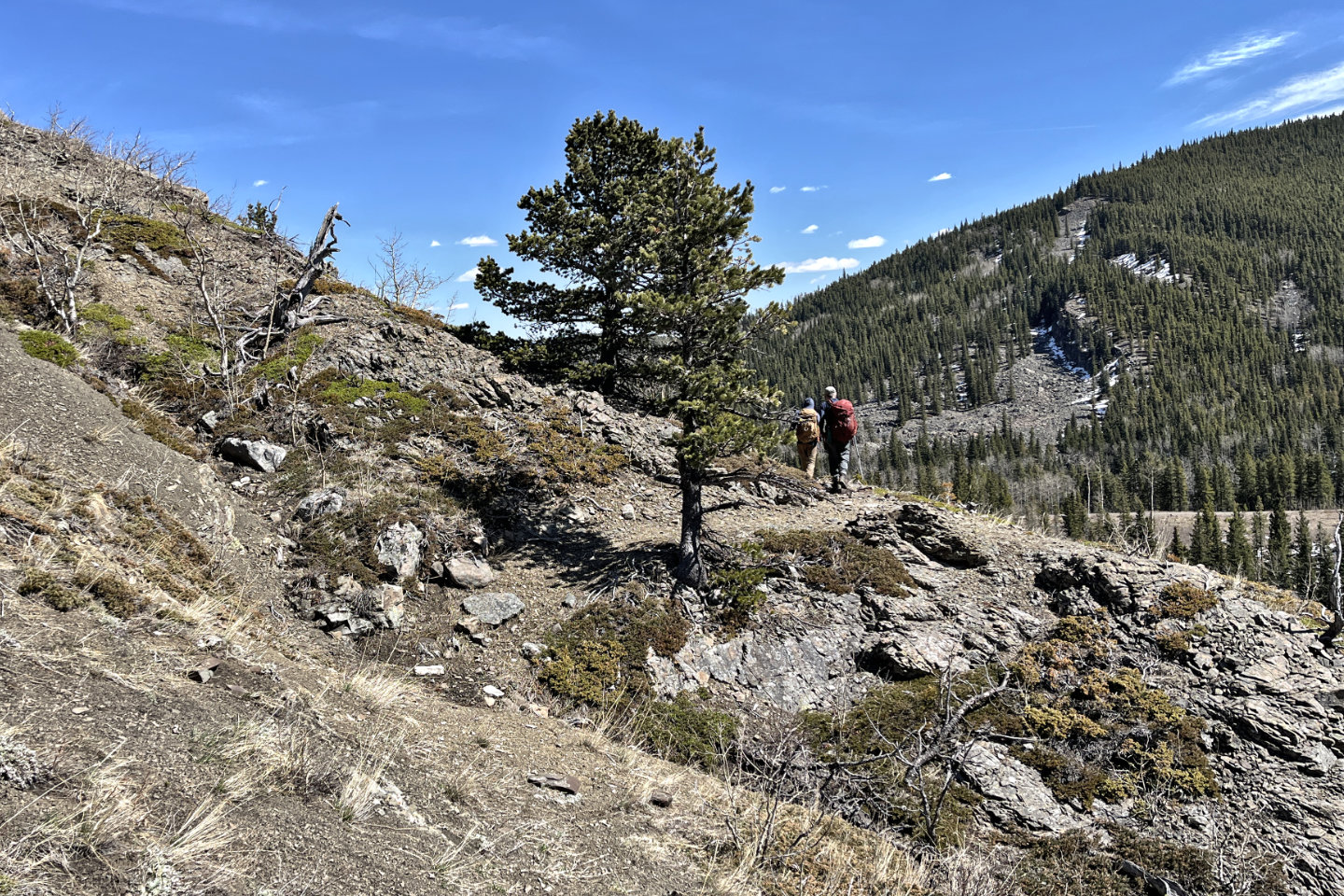
 Following the animal trail
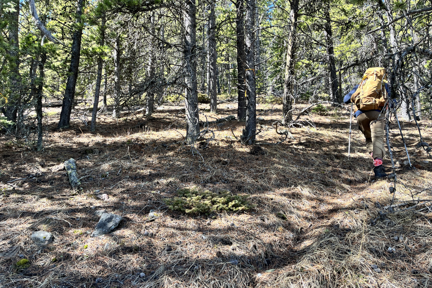
The trail briefly runs through trees
 The north fork of Johnson Creek appears
below
The north fork of Johnson Creek appears
below
 The road came into view on our right
 The trail ends at a Texas Gate in the road.
Ahead is the third high point.
The trail ends at a Texas Gate in the road.
Ahead is the third high point.
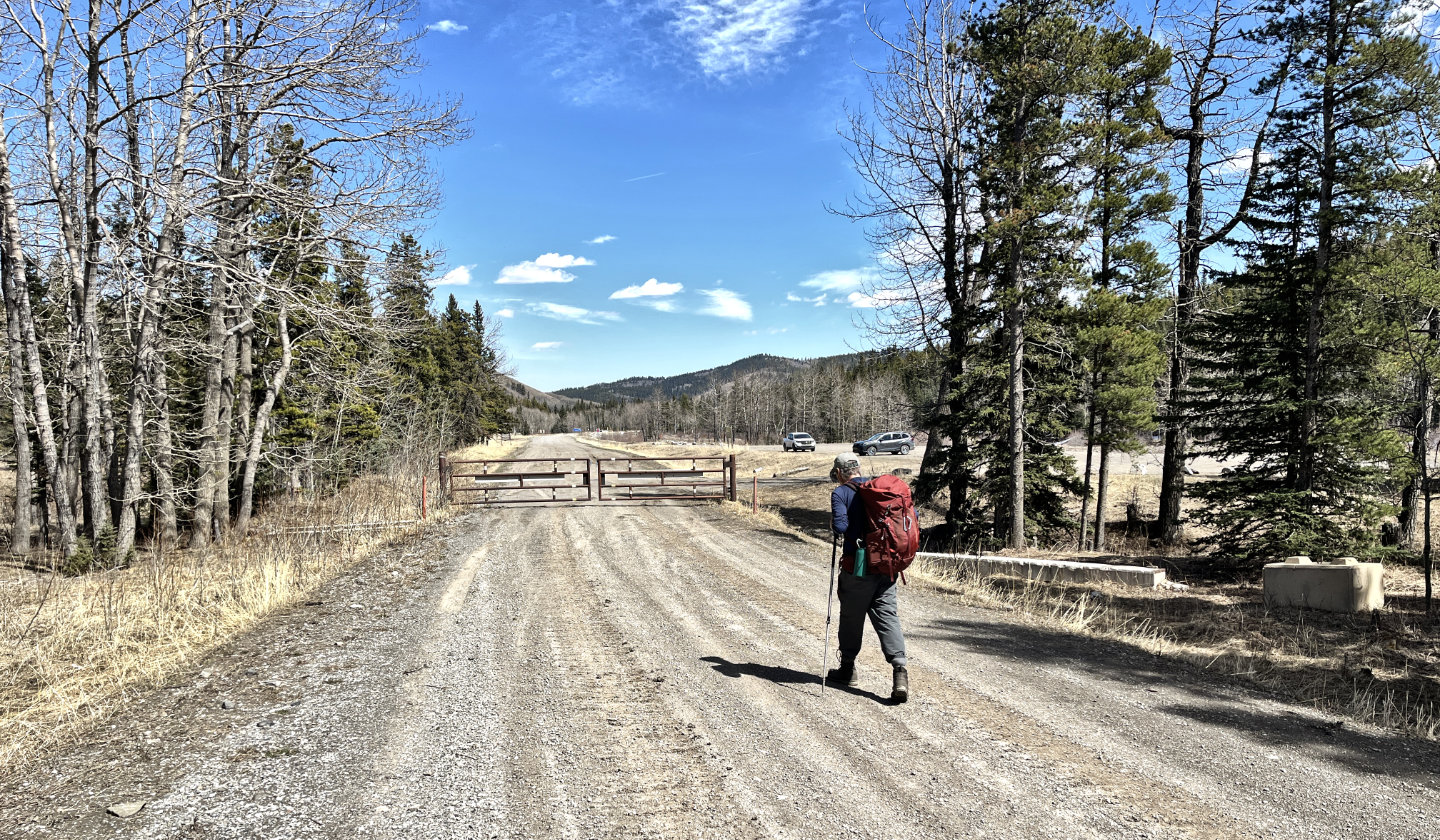 Arriving back at the parking lot by the
seasonal gate
Arriving back at the parking lot by the
seasonal gate
 82 J/1 Langford Creek