bobspirko.ca | Home | Canada Trips | US Trips | Hiking | Snowshoeing | MAP | About

Cutline Ridge (South Approach)
Kananaskis, Alberta
May 23, 2026
Distance: 10.6 km (6.6 mi)
Cumulative Elevation Gain: 548 m (1798 ft)
Accompanied by friends this time, I returned to Cutline Ridge using a shorter, more scenic route. In my solo winter ascent, Highway 532 was closed, necessitating a long east approach, but now with the road open, we parked closer and used a south approach. We followed Iron Lakes Trail and passed the dark-blue lakes. I was joined by Brian, Harry, Becky and Bob.
We parked at a campground by Johnson Creek, although we realised later we could have parked a few dozen metres closer to the trailhead in a small spot on the right. Either way, it’s a brief walk up the road to the Iron Lakes trailhead.
Beginning on a logging road, the trail soon narrows as it runs through forest and a meadow before reaching a clearcut. A short way into the clearcut, we stepped off the trail into the forest. Immediately we found an elaborate shooting range camp. There was a large tent and a tarp shelter, as well as outdoor sundry such as a solar light and a horseshoe pit. The shooting range comprised over a dozen targets. After skirting the shooting range and a steep bank, we started climbing.
We travelled easily through a thin forest before emerging onto a clearcut. We headed to a saddle between low hills. At the saddle, the clearcut ended, and we entered the forest and found a trail. We followed it down to Little Iron Lake. From there, we bushwhacked north, crossed Iron Creek, and reached a large clearcut extending well up the east slope of Cutline Ridge. A short bushwhack led to a summit topped with nice conglomerate rocks. Open to the west, we had fine views of mountains, including Sentinel Peak.
We relaxed and had lunch on the top before descending. We came down the south ridge, a pleasant descent with clearings. At the bottom, we crossed Iron Creek and soon after that, stepped onto Iron Creek Trail. Running east to west, we only had to follow it briefly before turning south onto the trail going to Iron Lakes.
The trail climbs before disappearing into a huge meadow. We continued south and picked up the trail at the edge of the forest. Then it began raining. Light at first, but after we passed Little Iron Lake and reached Big Iron Lake, it poured. It stopped suddenly, and the sun came out. We lingered by the pleasant lake, drying off, before continuing up the trail. We passed through a cutblock, lost the trail while crossing a meadow, but soon picked it up. We passed the shooters’ camp and were soon back at the parking lot.
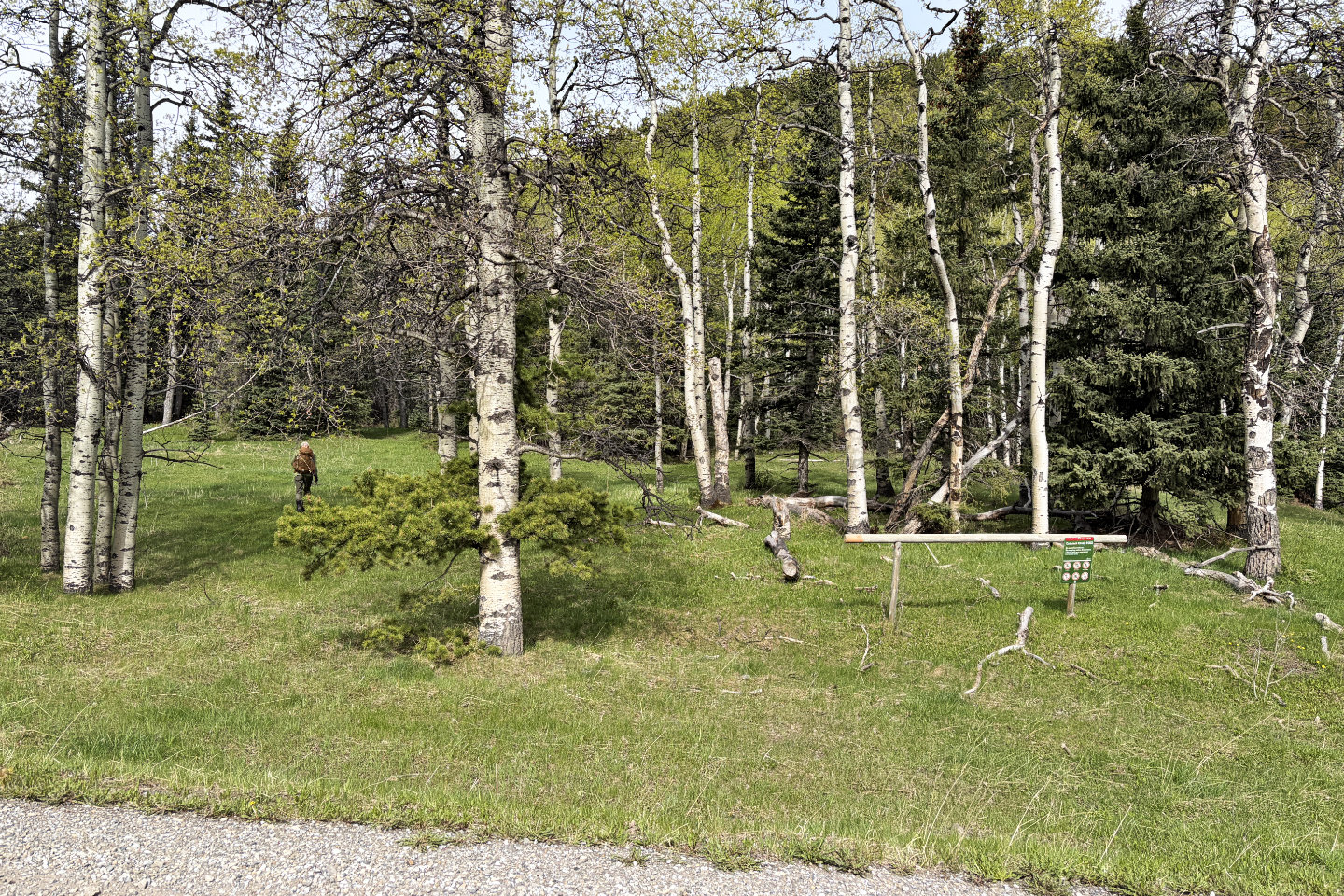 The trail starts by a hitching post
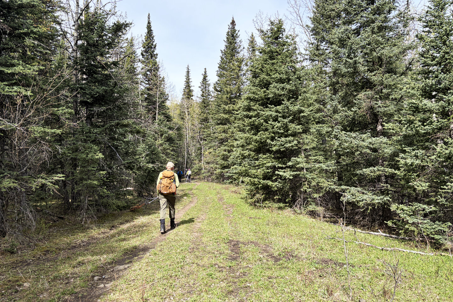 The first section is an old road
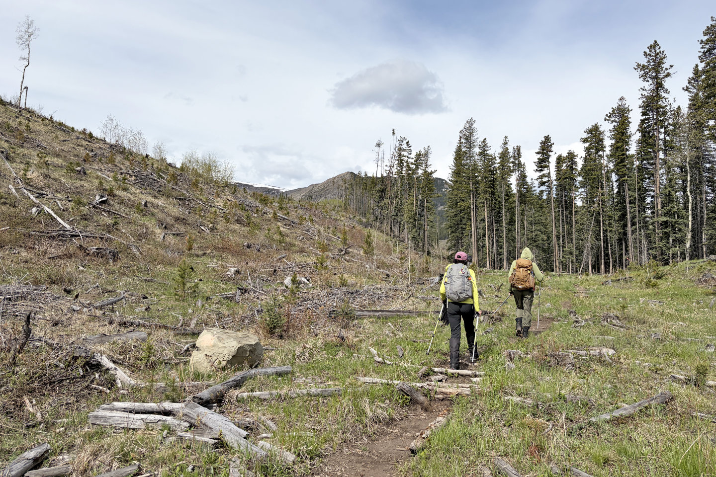 From a clearcut, we'll exit the trail on the right, into the trees
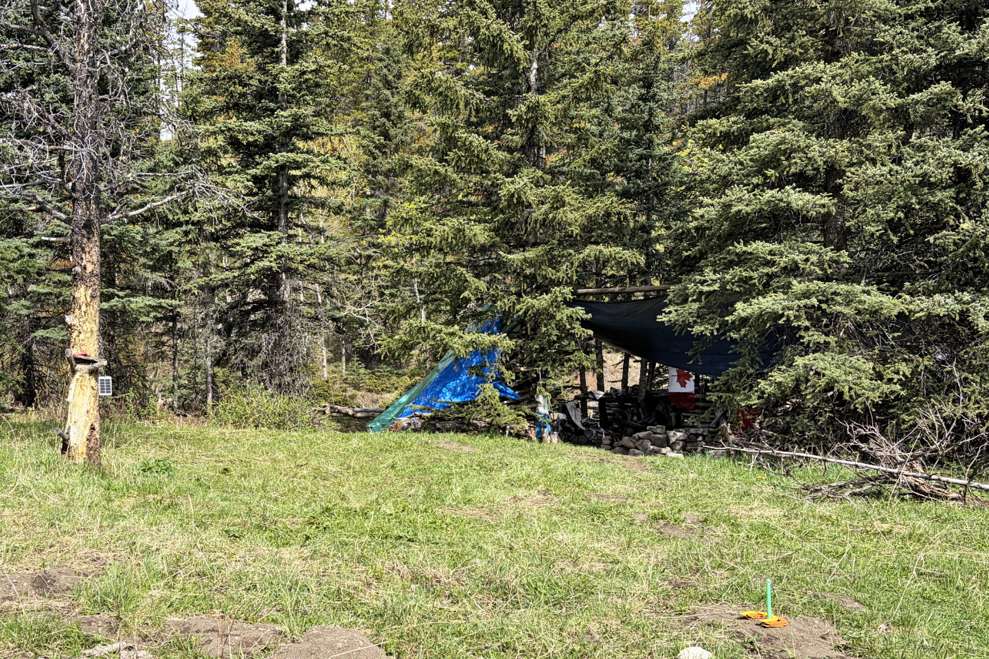 Shooters' camp wasn't far from the trail
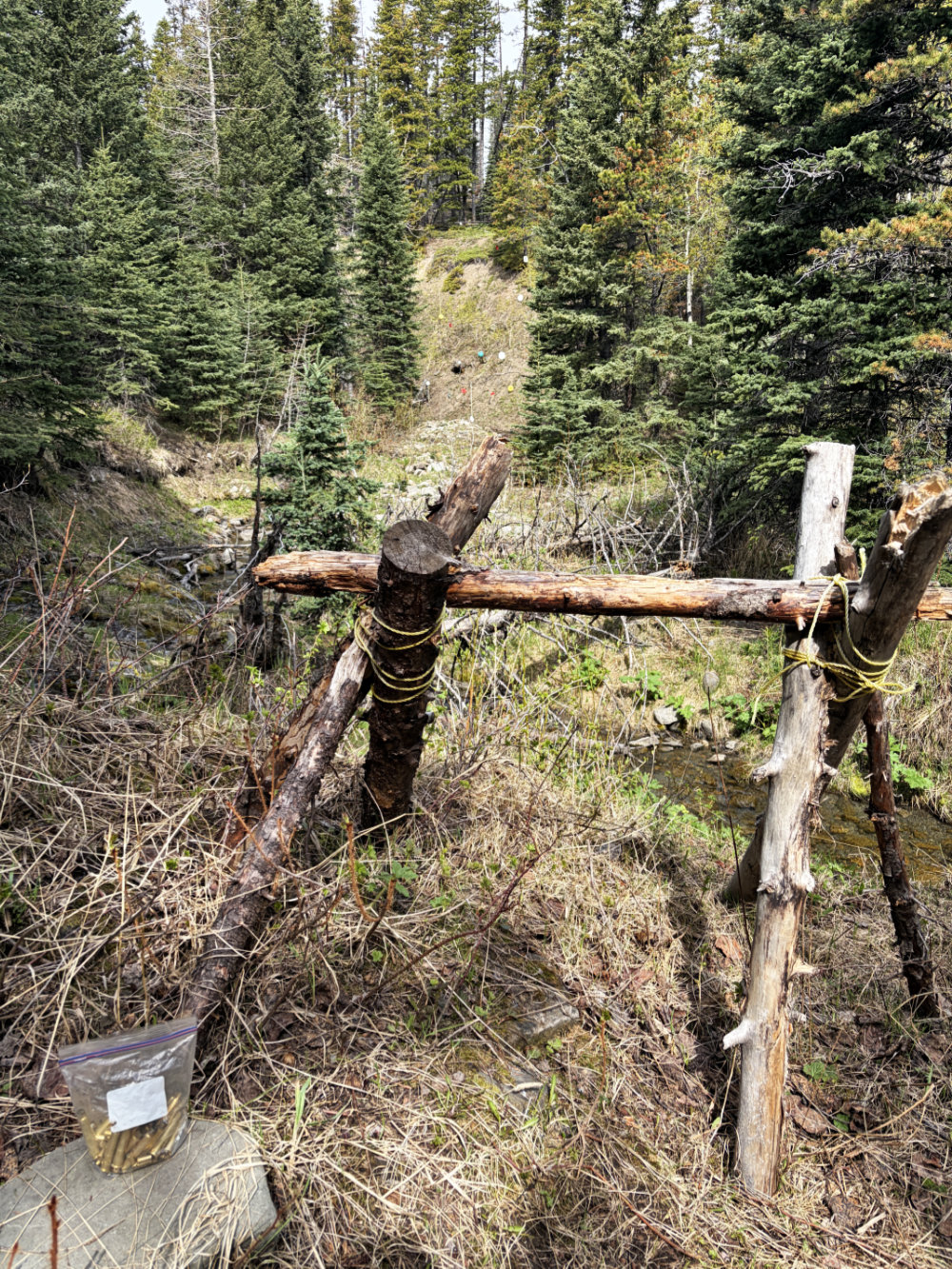
Shooting range with spent shells. Mouse over for a close-up of the targets.
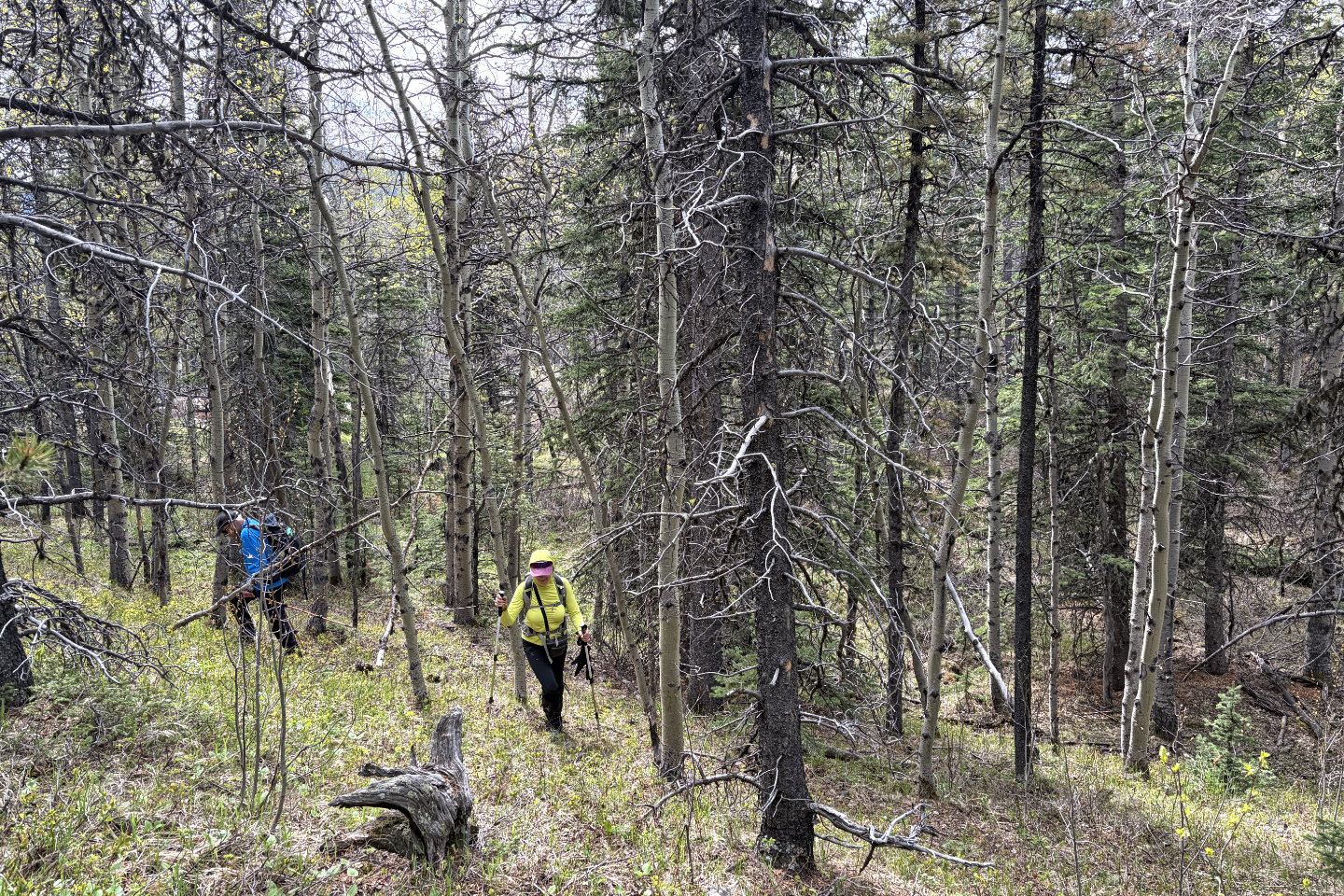 After passing the targets, we started up a wooded slope
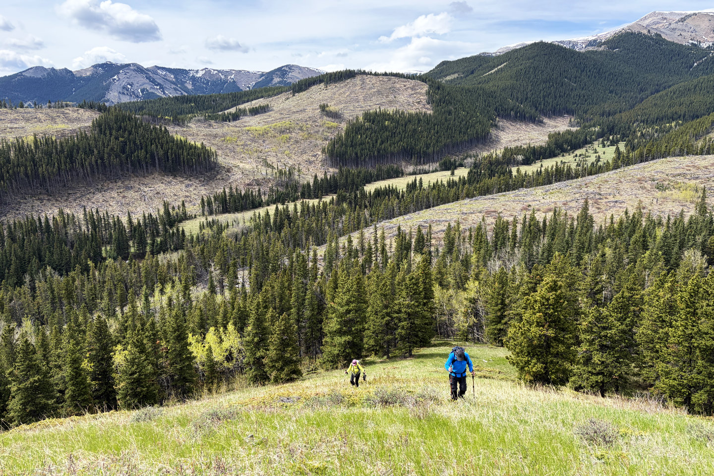 Looking back after emerging from the trees
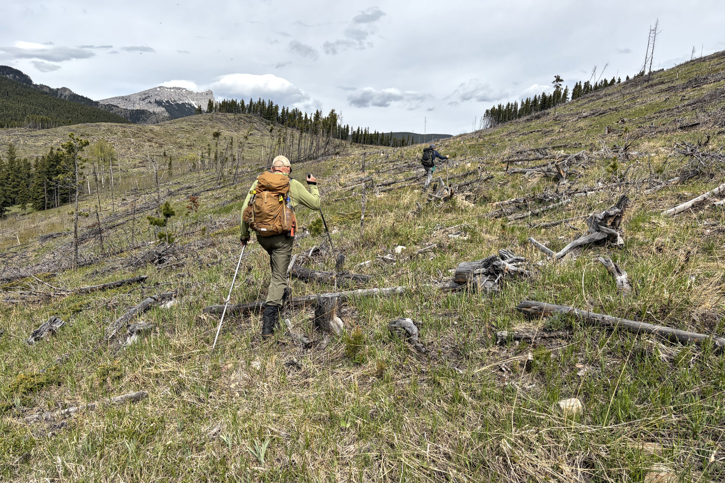 We headed to the saddle ahead
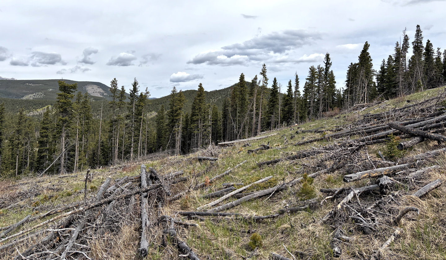 On the saddle, we caught sight of Cutline Ridge, centre right, partially hidden by trees
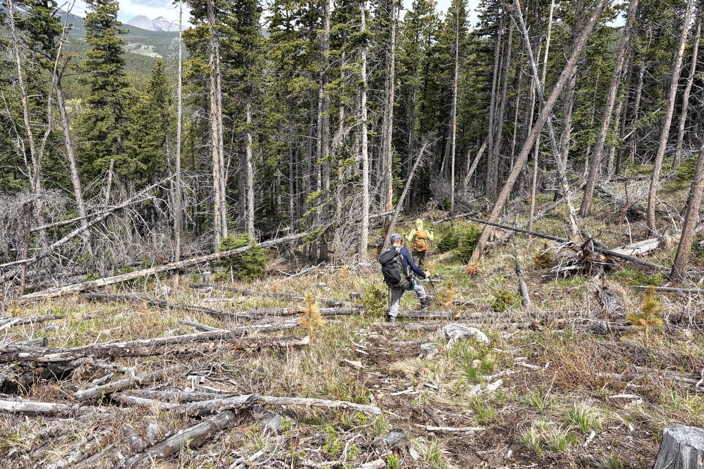 From the saddle, we followed a trail into the trees
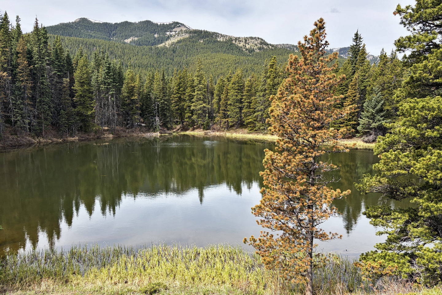 The trail led to Little Iron Lake
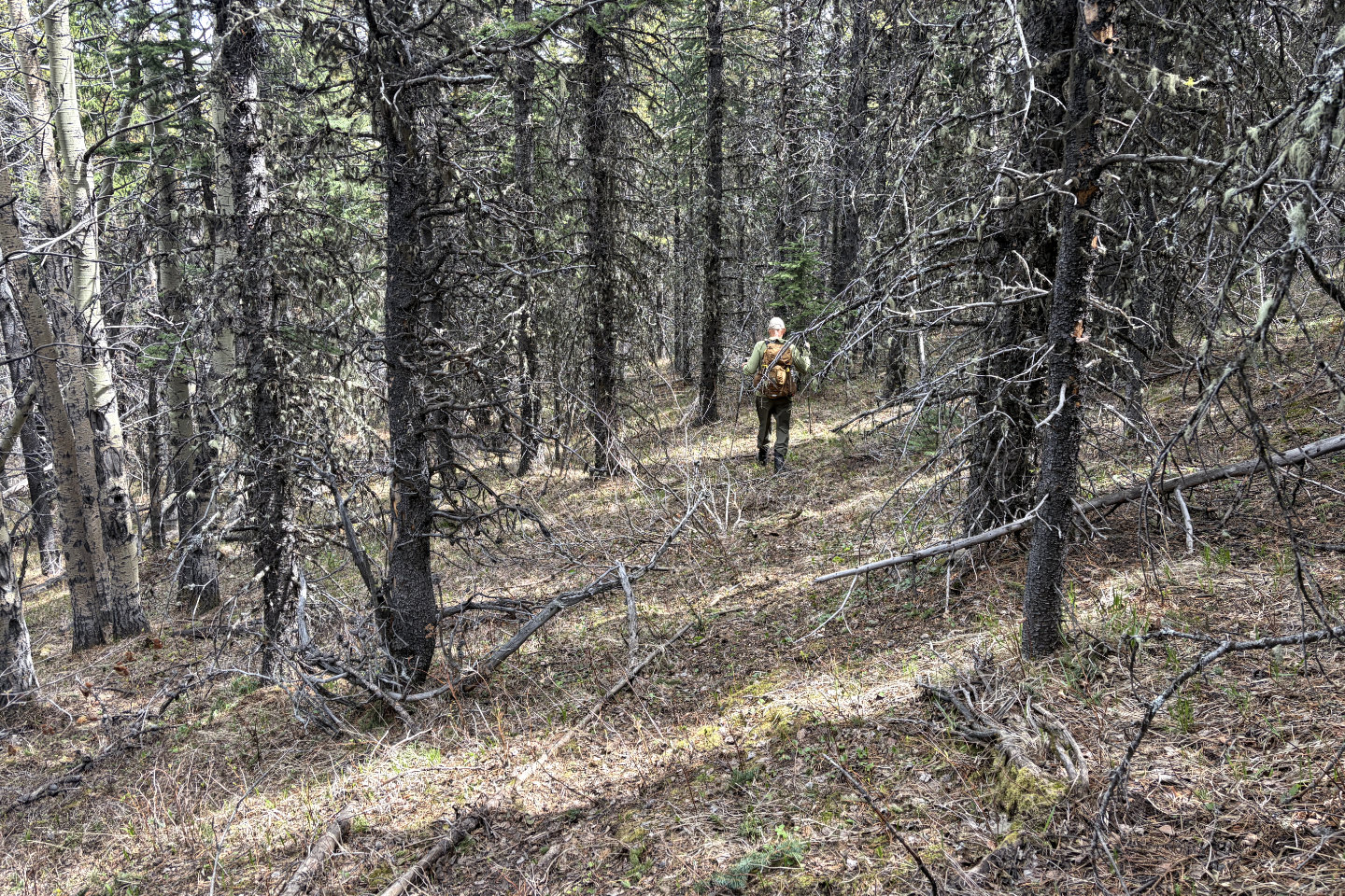 We continued through thin forest to the base of Cutline Ridge
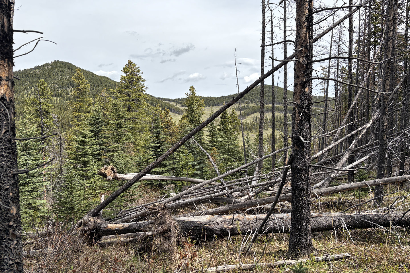 We caught a glimpse of Cutline Ridge and the clearcut we'll hike up
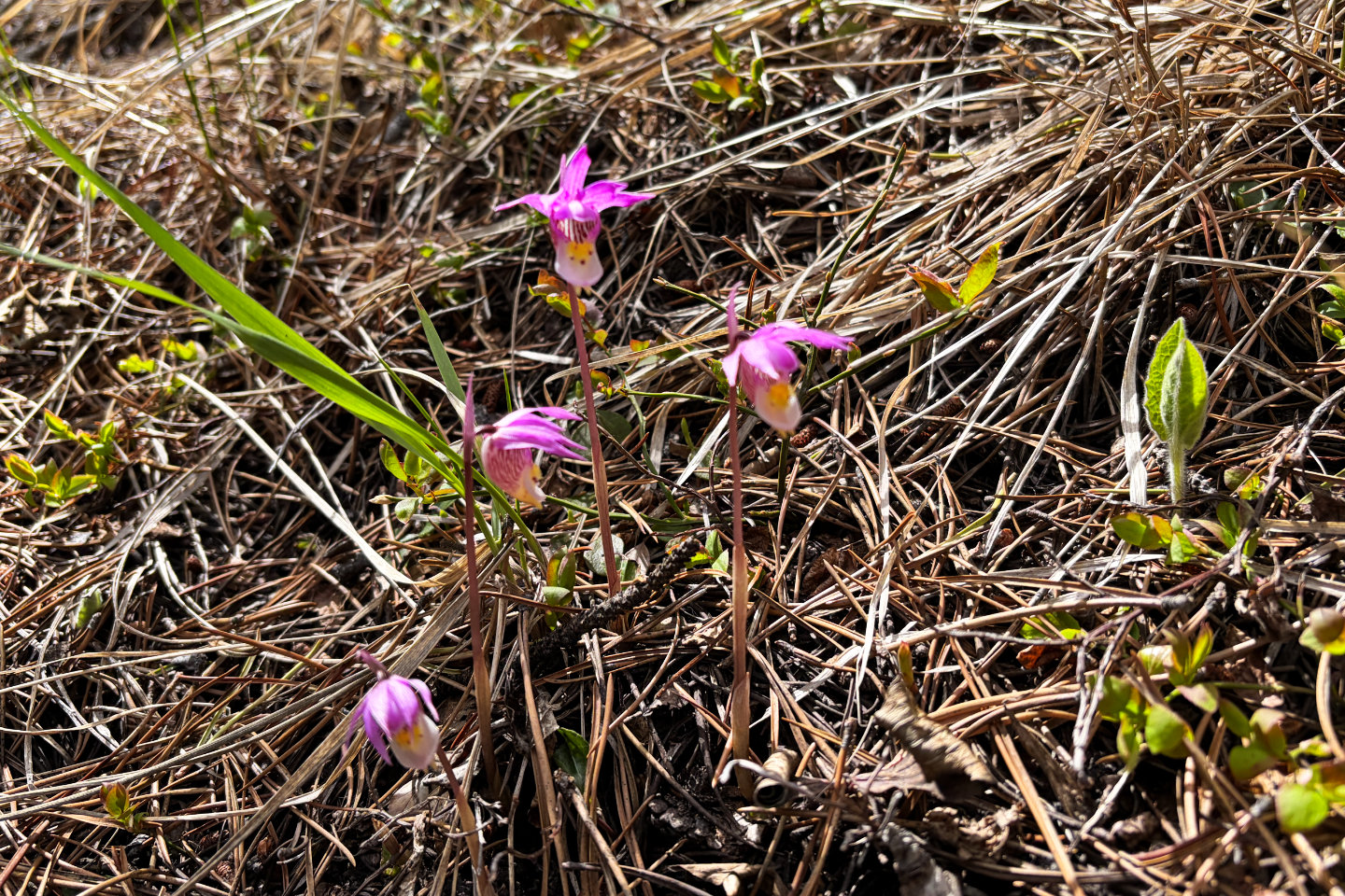 Calypso orchids
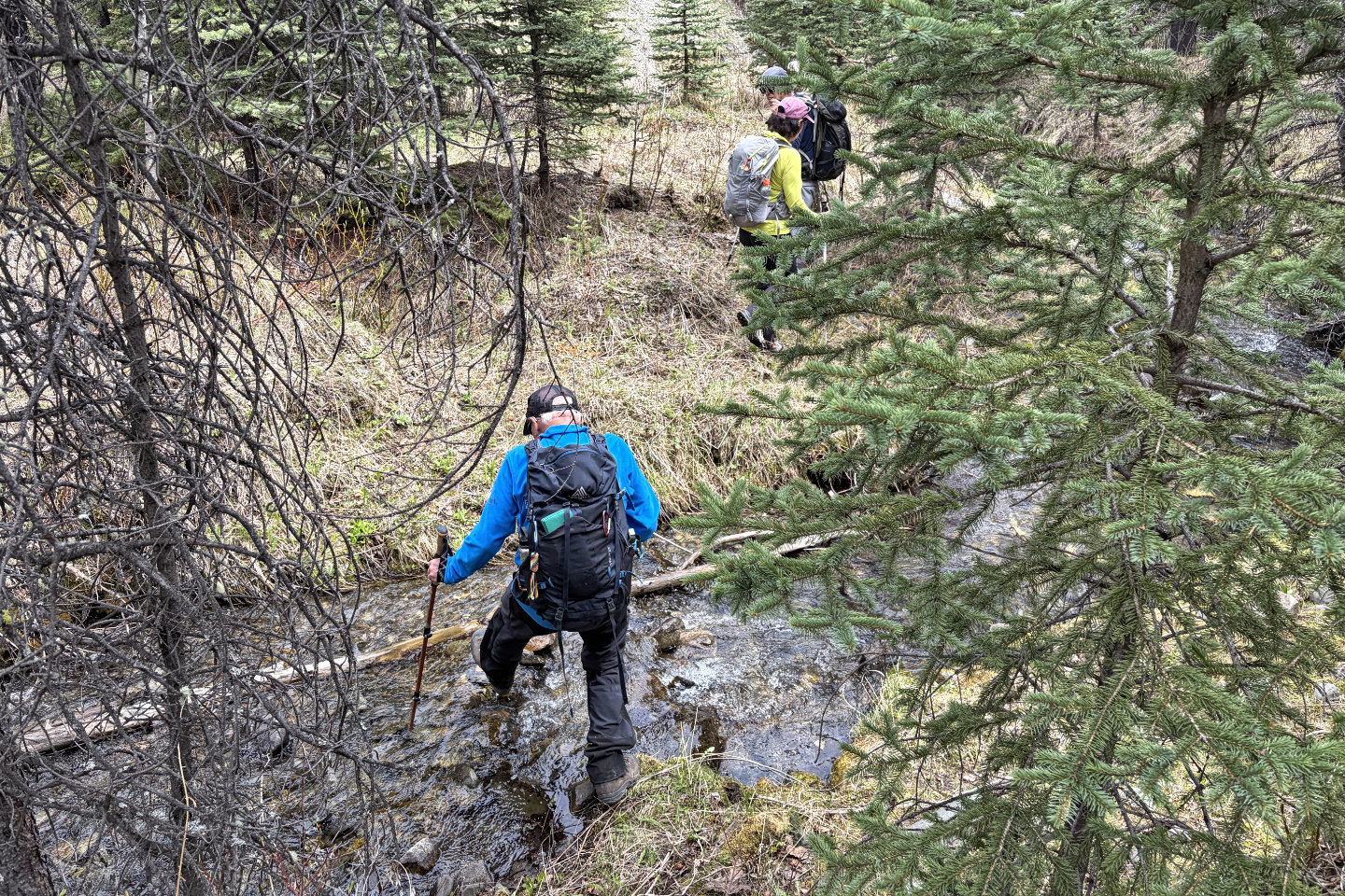 Crossing Iron Creek. Soon after, we crossed Iron Creek Trail which runs east to west.
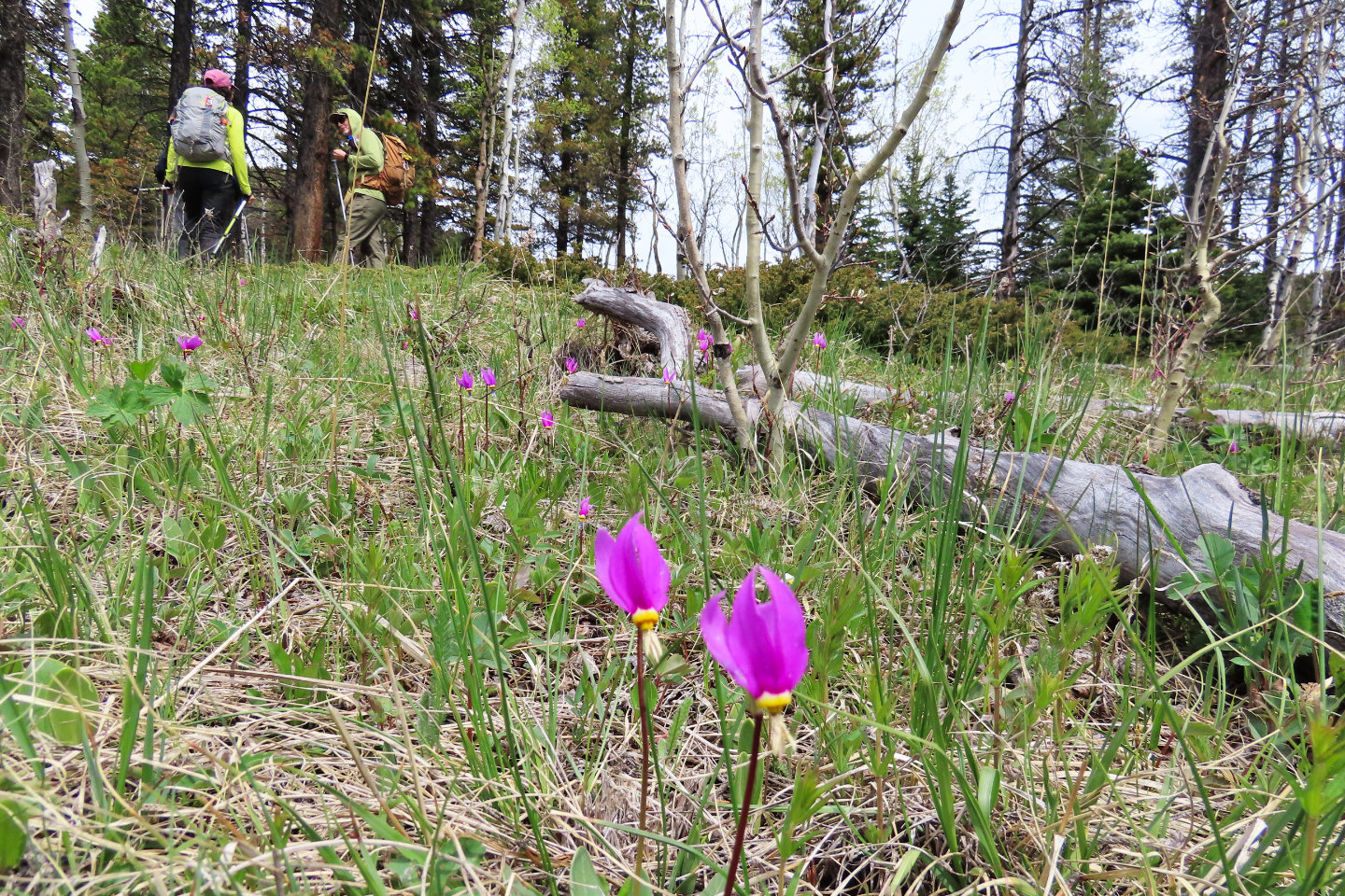 Shooting stars were abundant
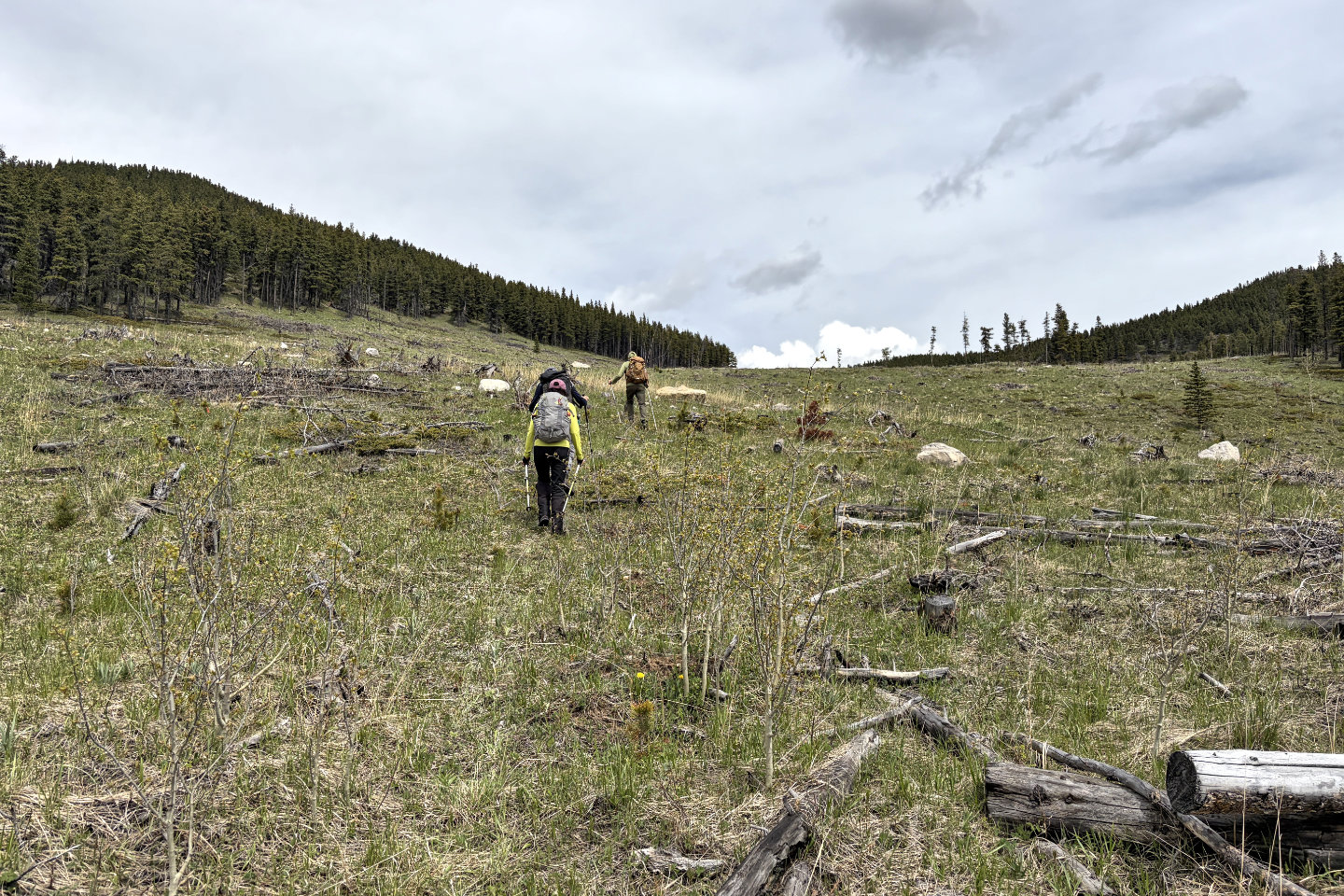 Starting up the clearcut
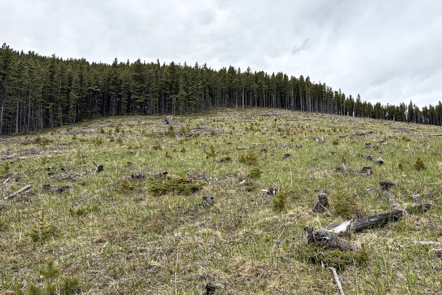 Heading to the summit
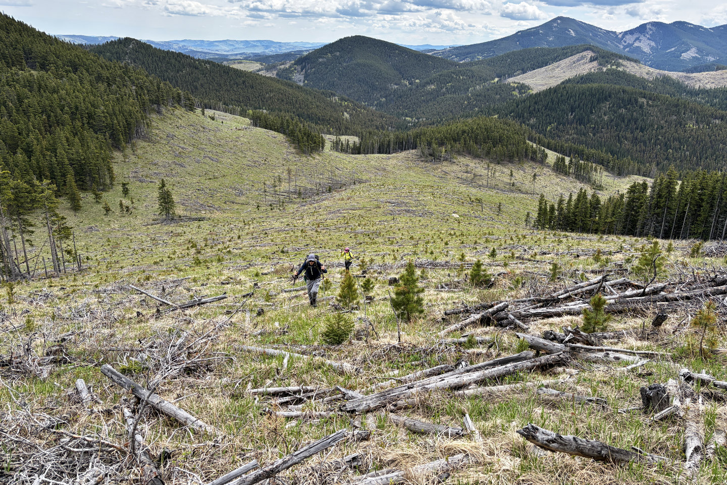 Looking back before entering the forest
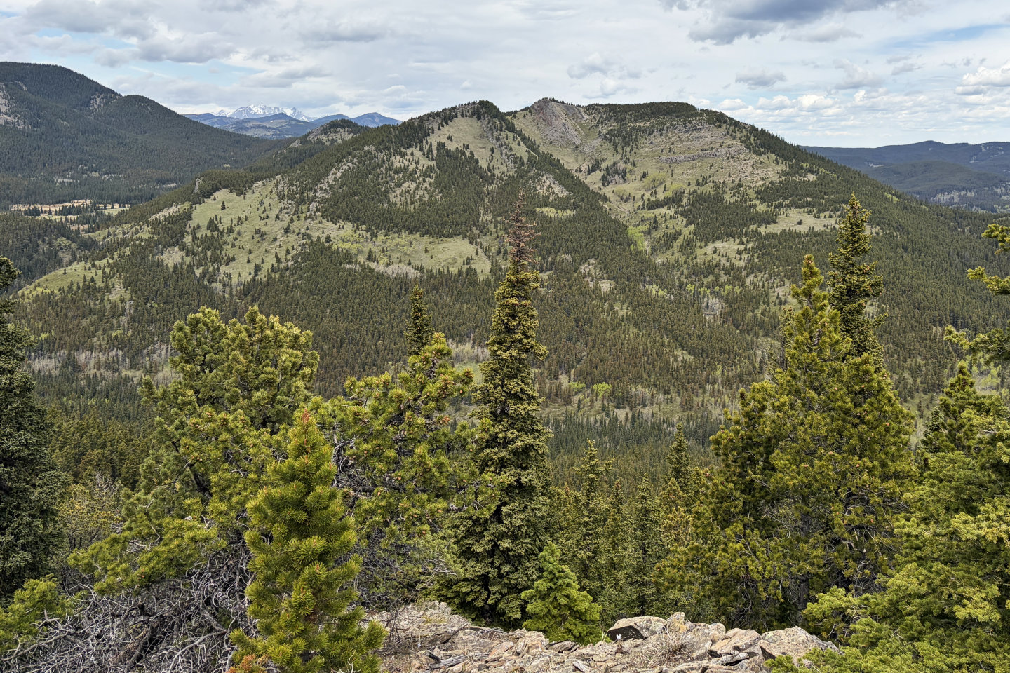 On the ridge before the summit, we saw Corral Creek Mountain (mouse over for a close-up)
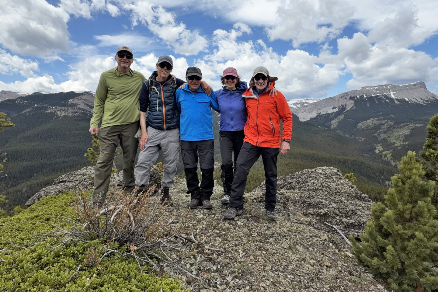 Brian, Harry, Bob, Becky and me on the summit. Sentinel Peak on the right.
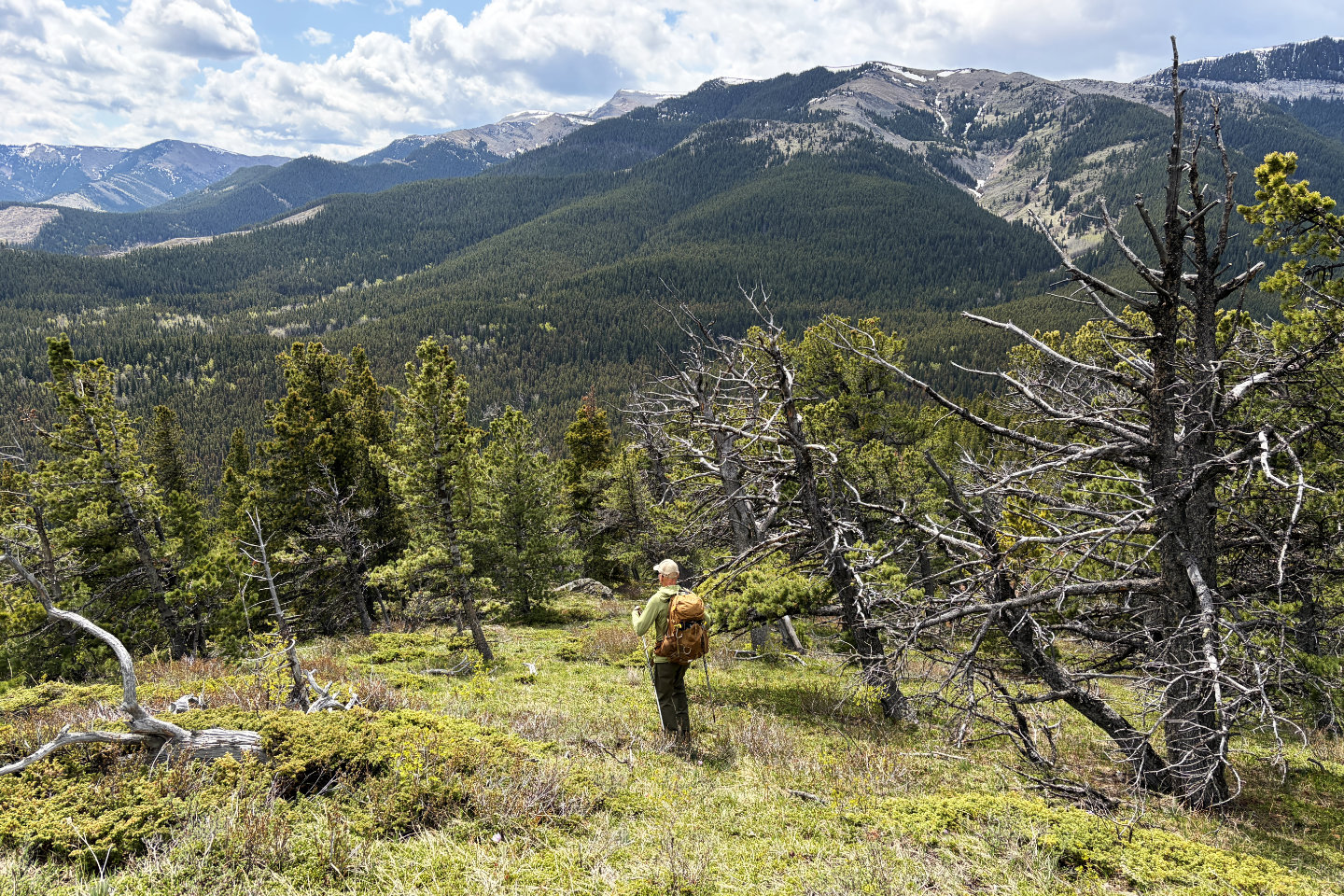 We hiked easily down the south slope. Iron Lakes Ridge fills the background.
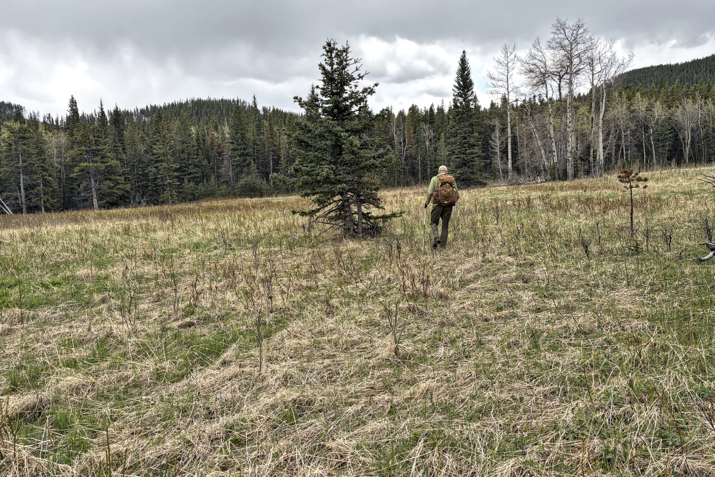 We lost the trail in this meadow, but keeping left, found the trail to Iron Lakes.
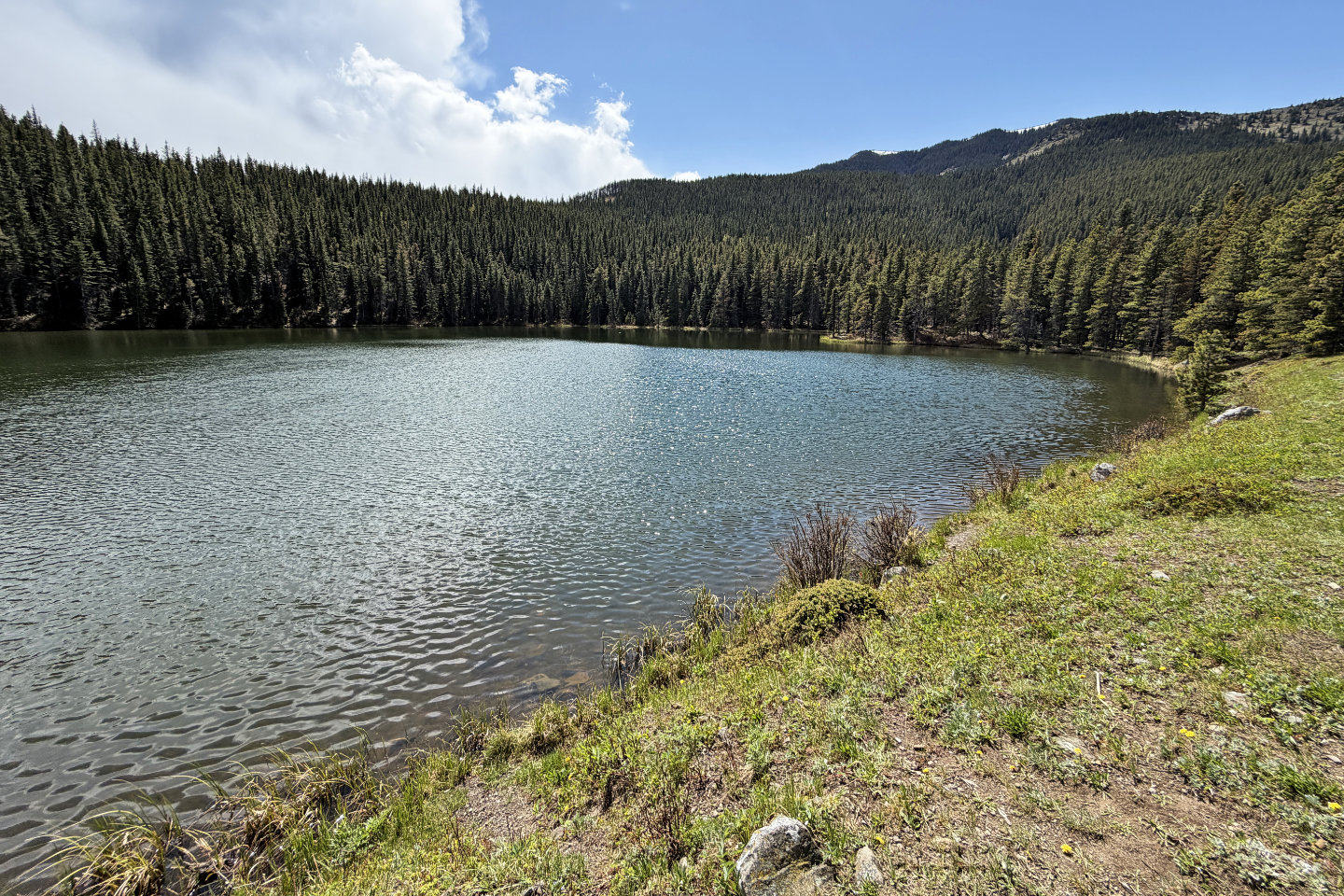 When we arrived at Big Iron Lake, it was pouring rain, but the sun soon came out
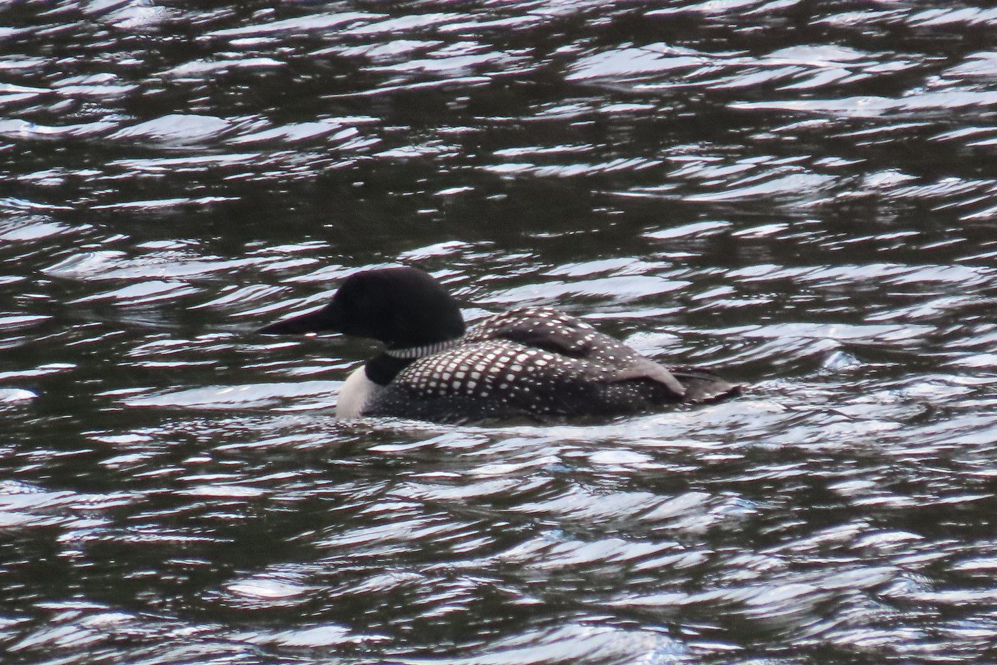 A solitary loon on the lake
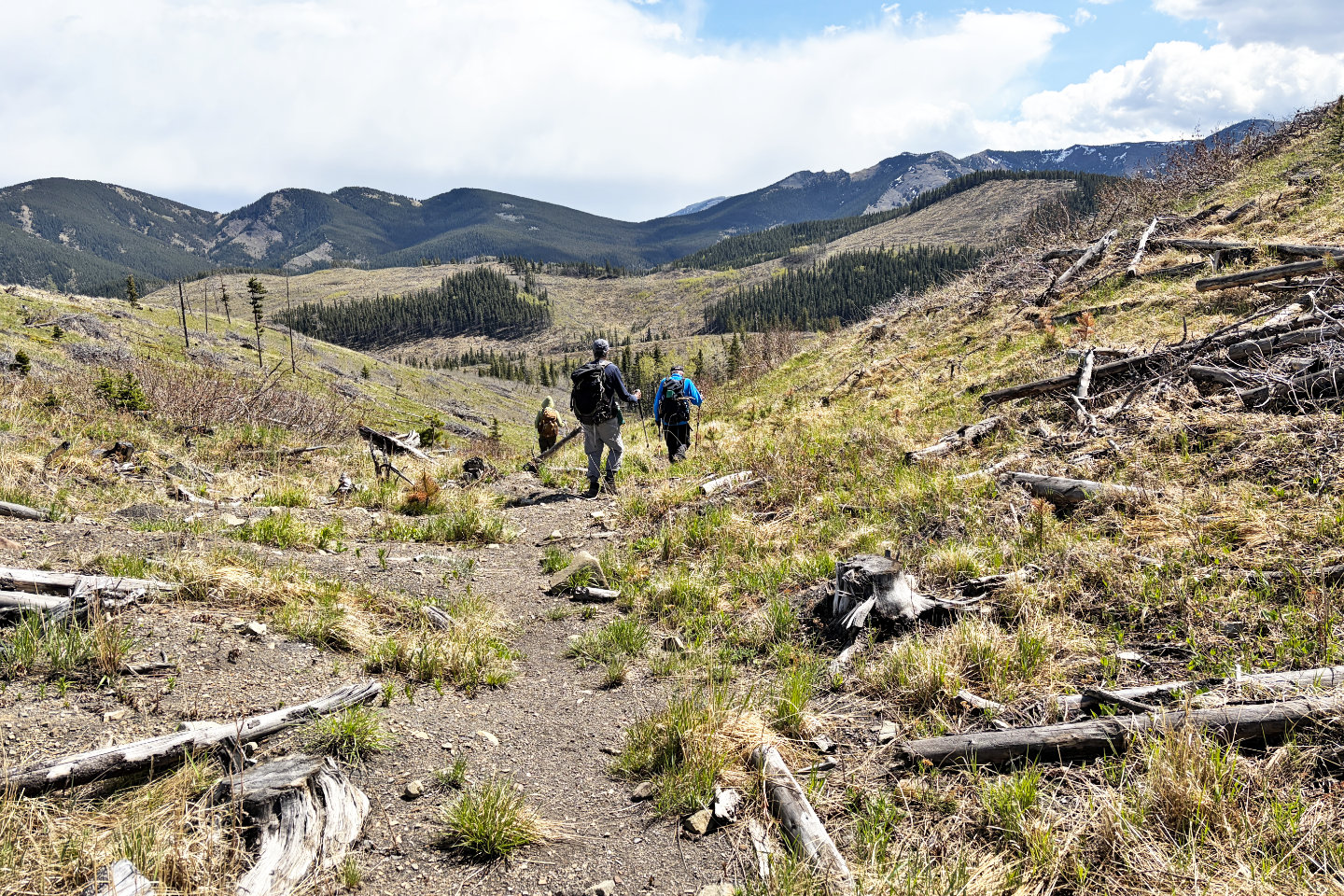 On Iron Lakes Trail, heading back to our cars
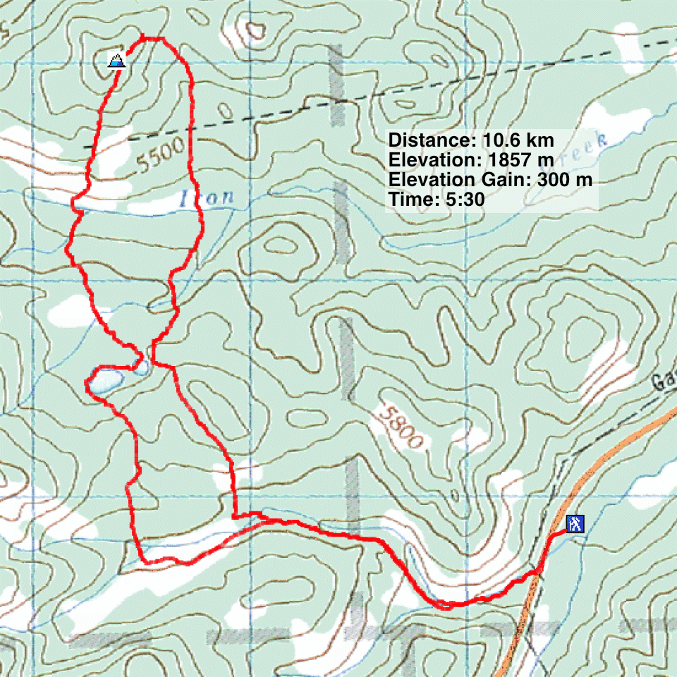
82 J/1 Langford Creek