bobspirko.ca | Home | Canada Trips | US Trips | Hiking | Snowshoeing | MAP | About
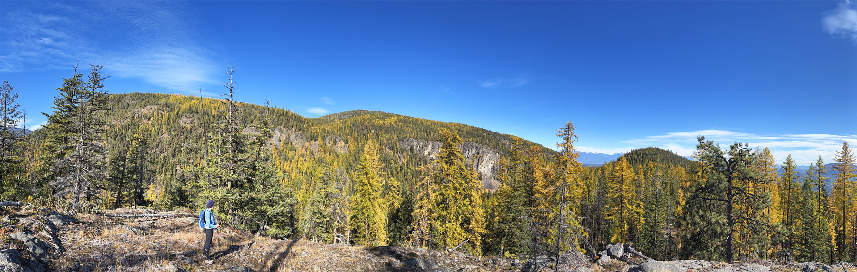 Looking southeast from The Wall
Windy Bluff and The Wall
Cranbrook, B.C.
October 14, 2026
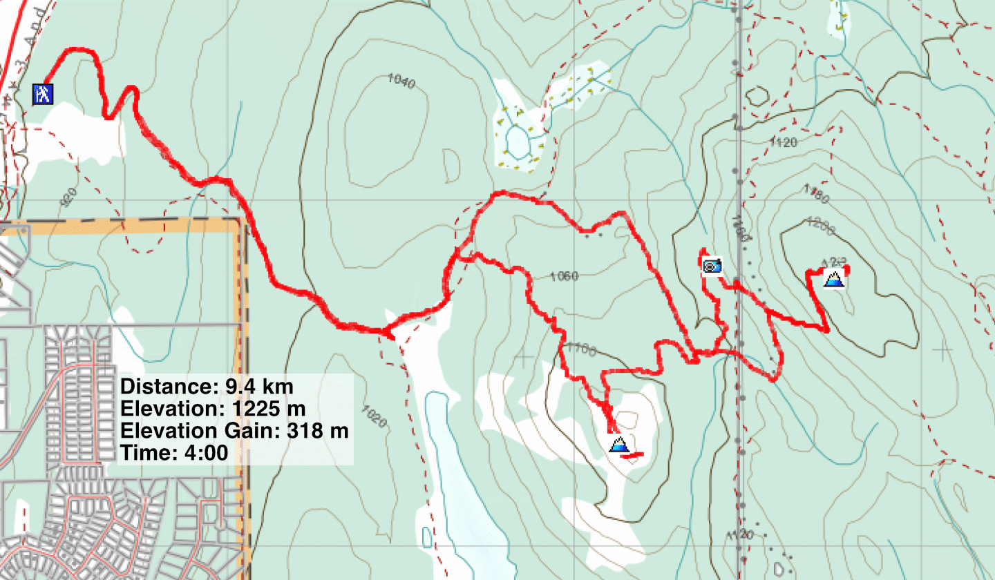
Distance: 9.4 km (5.8 mi)
Cumulative Elevation Gain: 362 m (1188 ft)
Cranbrook Community Forest includes dozens of trails running over small hills. Among these trails, Windy Bluff and The Wall reach some of the highest hills, if not the highest. Like Sonny, Dinah and I hiked a loop that reached their summits. Following his suggestion, we called the nameless hills, Windy Bluff and The Wall.
Sylvan Lake Forest Service Road was closed due to environmental concerns, so we walked 2 km to the Kettle Lake trailhead. We tackled the highest hill, The Wall, first. We got on Bypass Hill Trail and followed it to Split Rock Trail. Strangely, the trail doesn’t go to Split Rock. We turned right at the next fork, passed the solitary boulders, and soon started up The Wall.
Crammed with boulders and trees, the summit of The Wall had limited views. However, walking several metres west provided an expansive view of The Rockies. After looking around, we started back down.
We retraced our steps down the slope before taking a trail on our left that dropped down to the valley. Then we got on Windy Bluff Trail and followed it to the rocks on the summit. Trees hindered views, although panoramic views can be found. From there, we followed Stunty Trail down the northwest ridge. With its steep drops, banked corners and wooden ramps, the trail must be an exciting bike ride, but it didn’t do anything for us. We followed it back to the forest service road and returned to the parking lot.
Although the trails were pleasant, as were the views, I was distracted with the myriad of intersections to navigate, and I was constantly checking the map to stay on course. But we hiked The Wall and Windy Bluff in solitude; we never saw a soul.
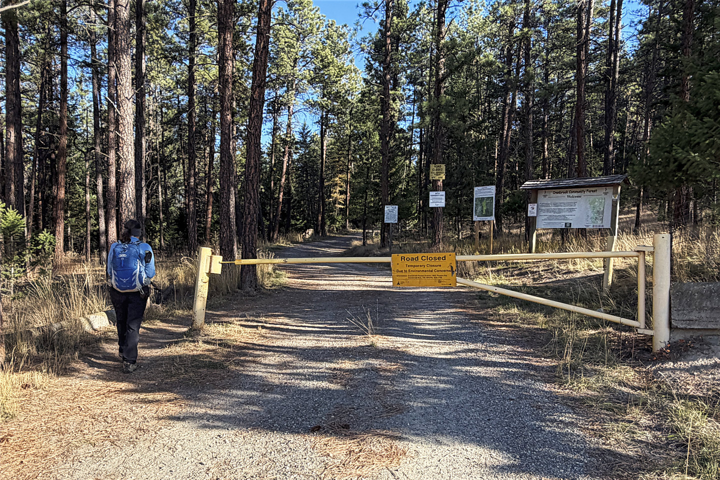 The road was closed due to environmental
concerns
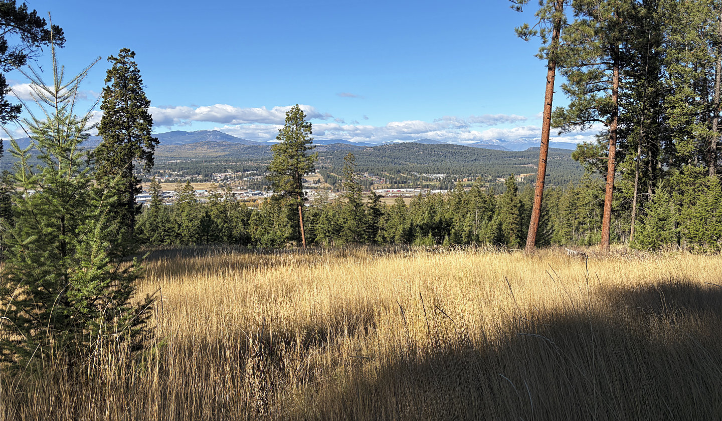 We soon caught sight of Beacon Hill (mouse over for a close-up)
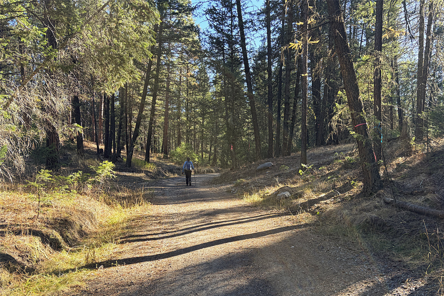 Flagging marked the Stunty Trail intersection.
We came down this trail later.
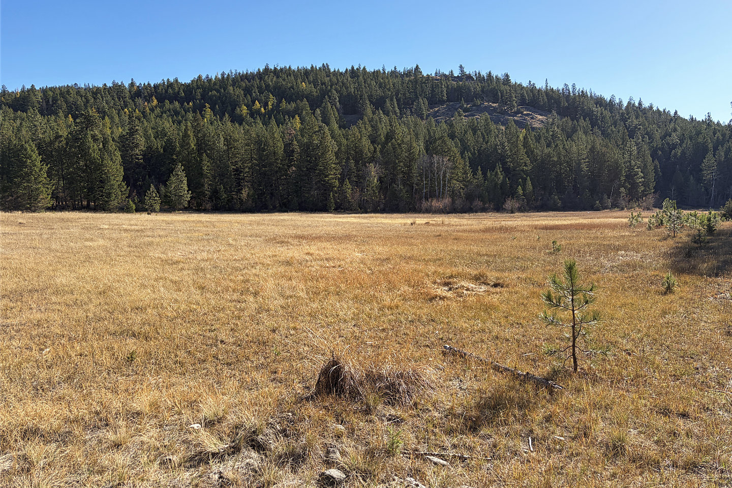 Windy Bluff
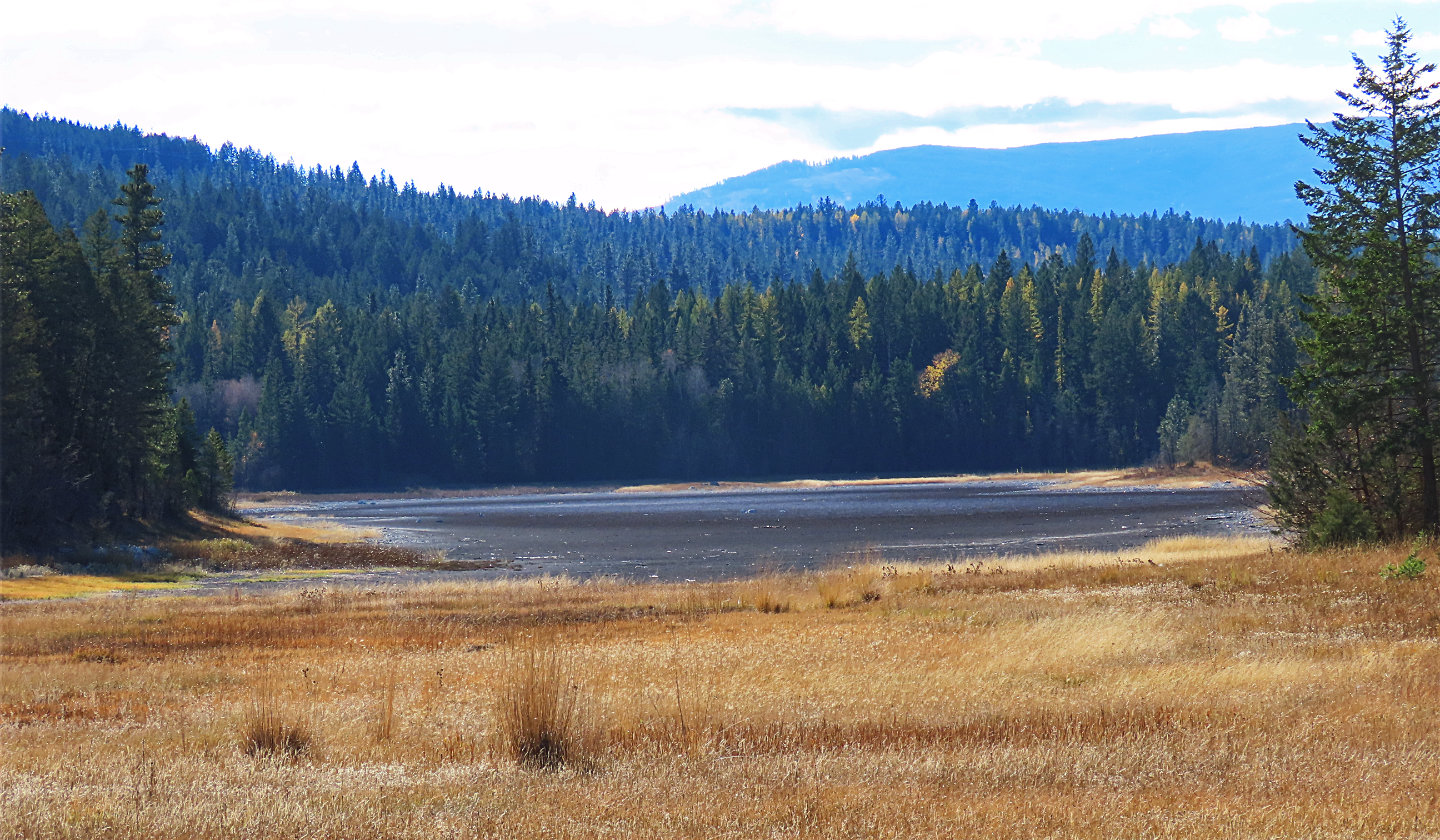 The largest of the Four Lakes lies west of
Windy Bluff
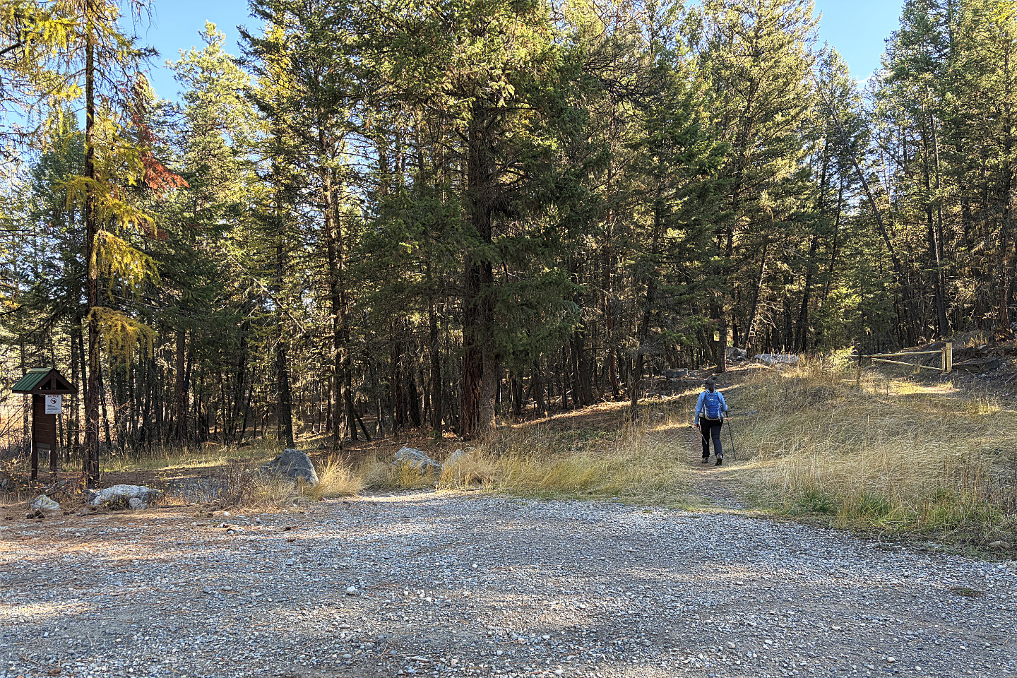 After walking up the road for 2 km, we reached
Kettle Lake Trailhead
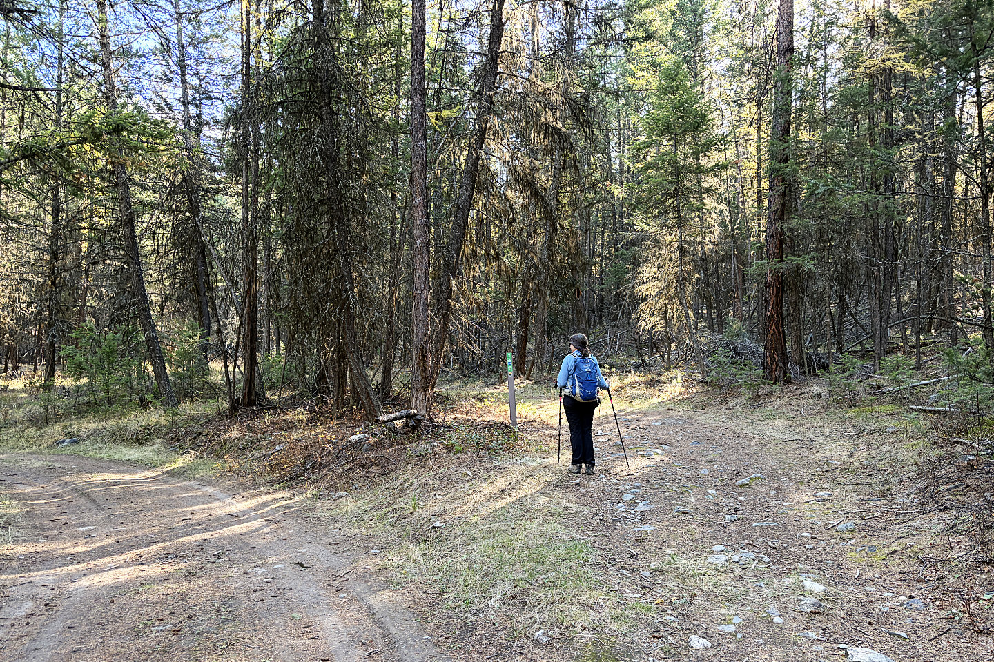 We soon turned onto Hill Bypass
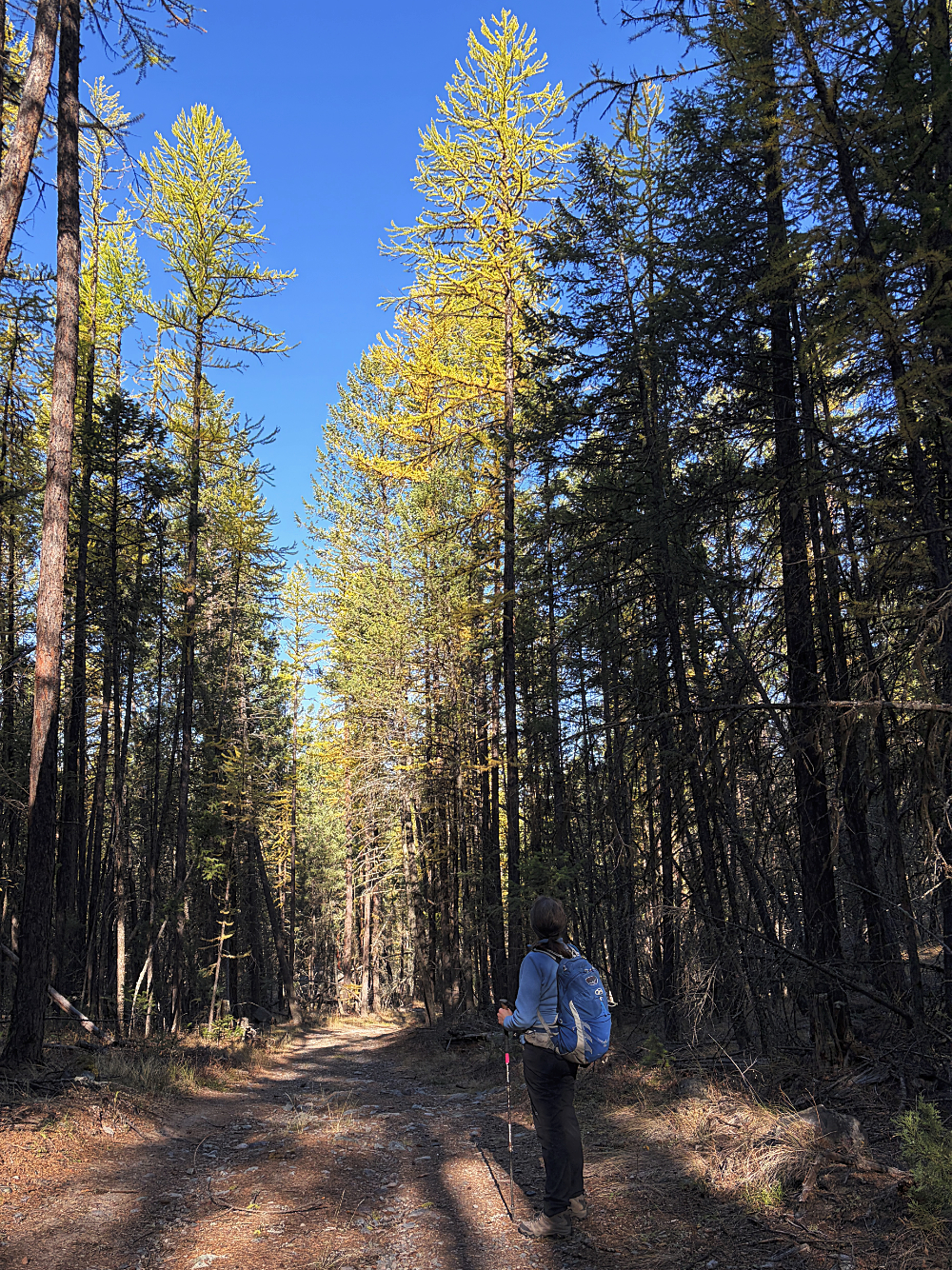
Larches appeared along the trail
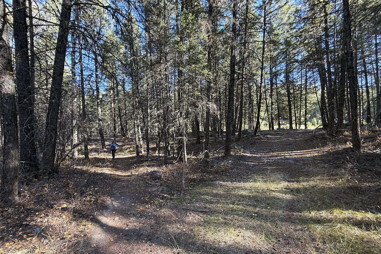 We turned onto Split Rock Trail which doesn't
pass Split Rock. We turned right at the next fork for it.
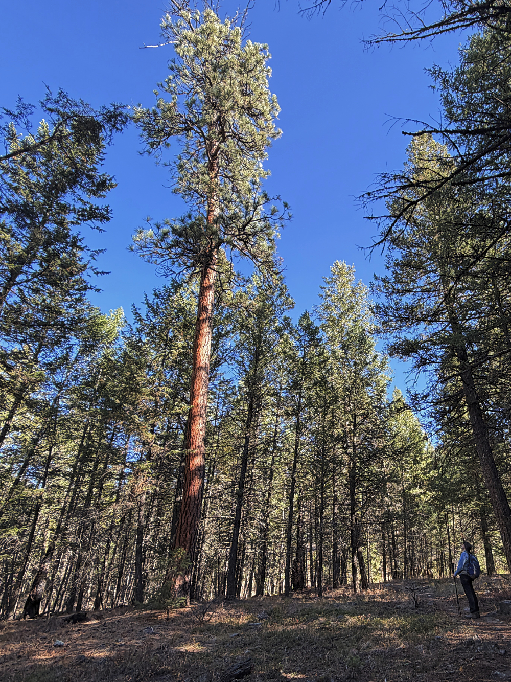
Dinah gazes up at a ponderosa pine
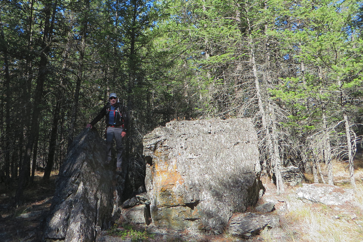 Split Rock
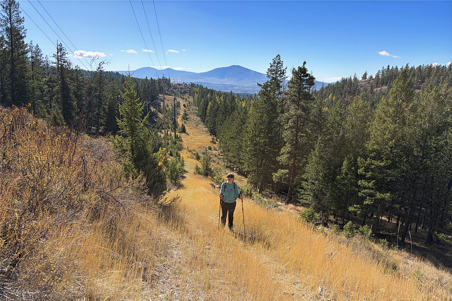 The trail briefly climbs a power line
right-of-way
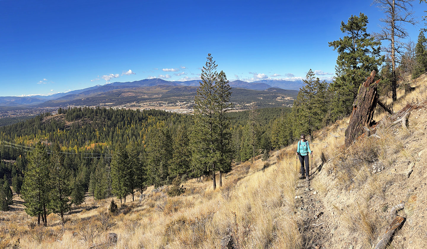 Heading to The Wall
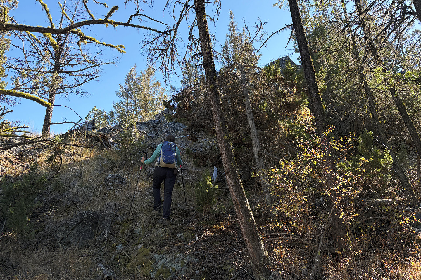 The summit is a rocky point in trees
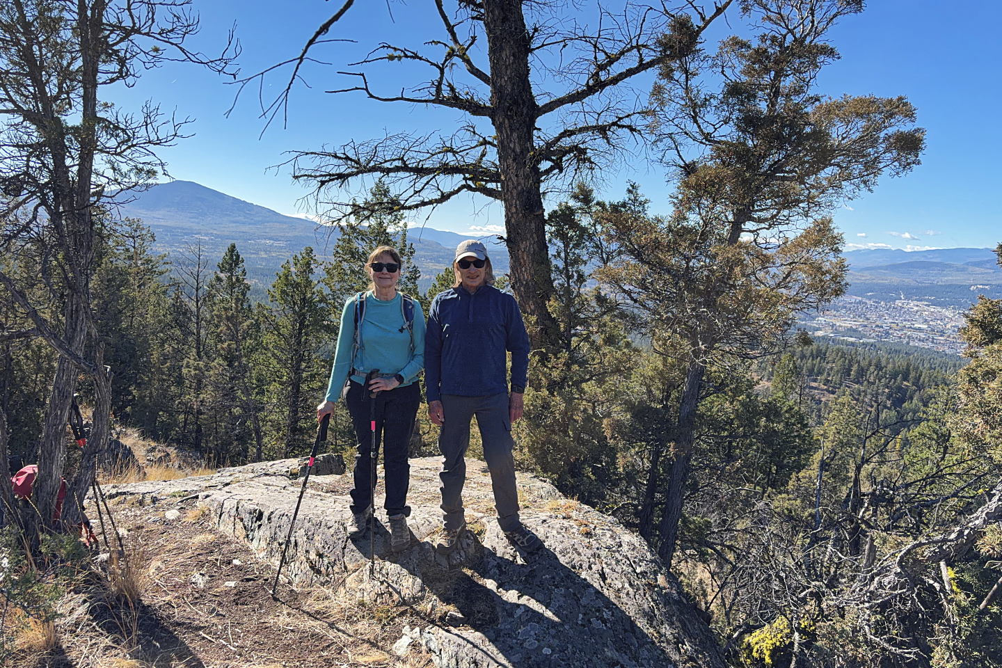 Standing on the top
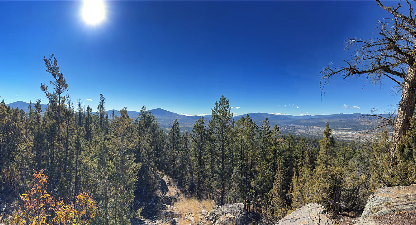 Looking south, Mount Baker and Cranbrook
Mountain are the prominent mountains left
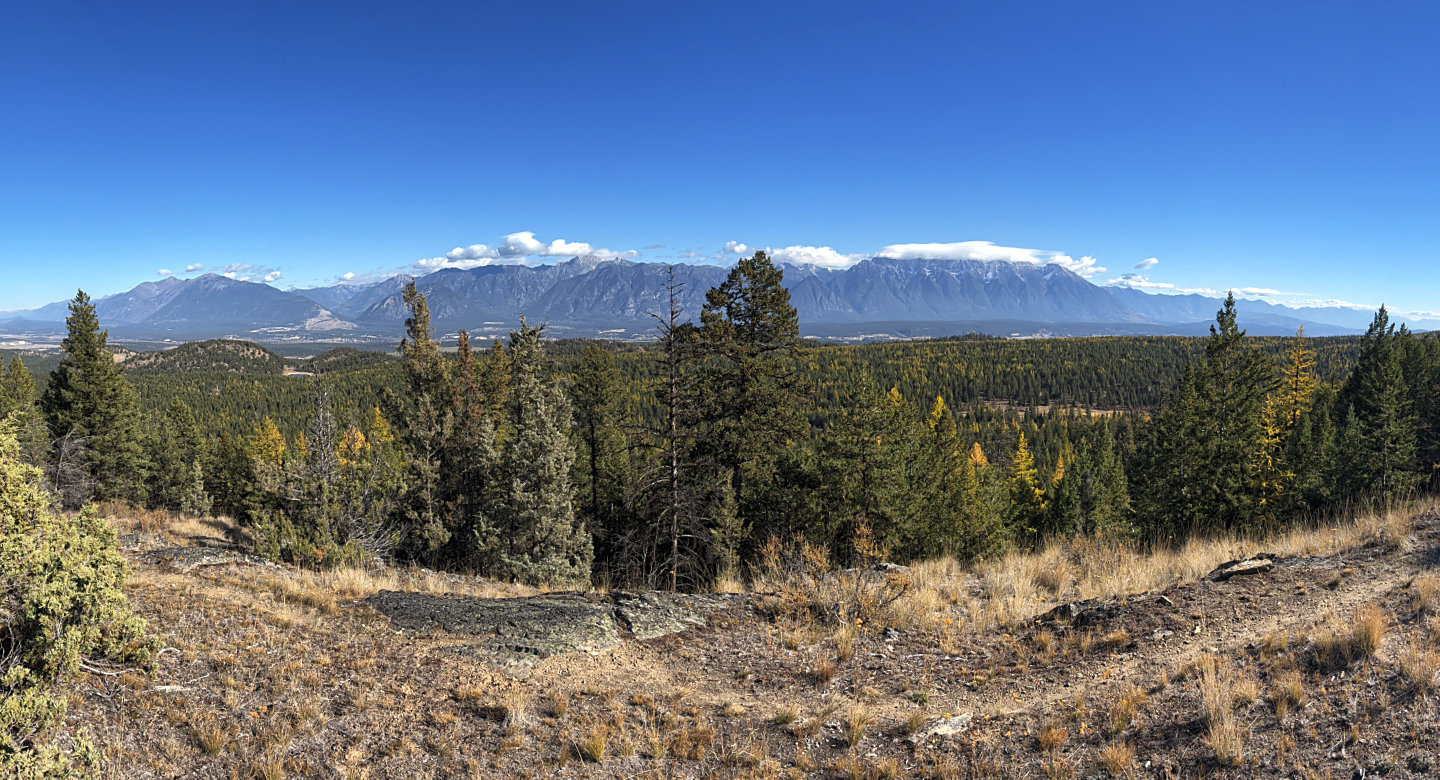 Stepping away from the summit, we could view
The Rockies
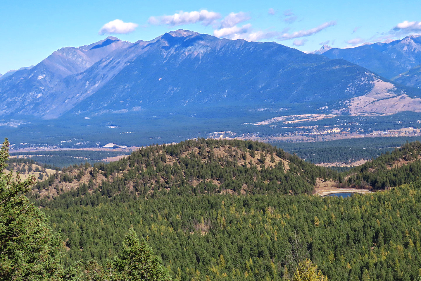 In the foreground are
The Beeline and Goblin Lake
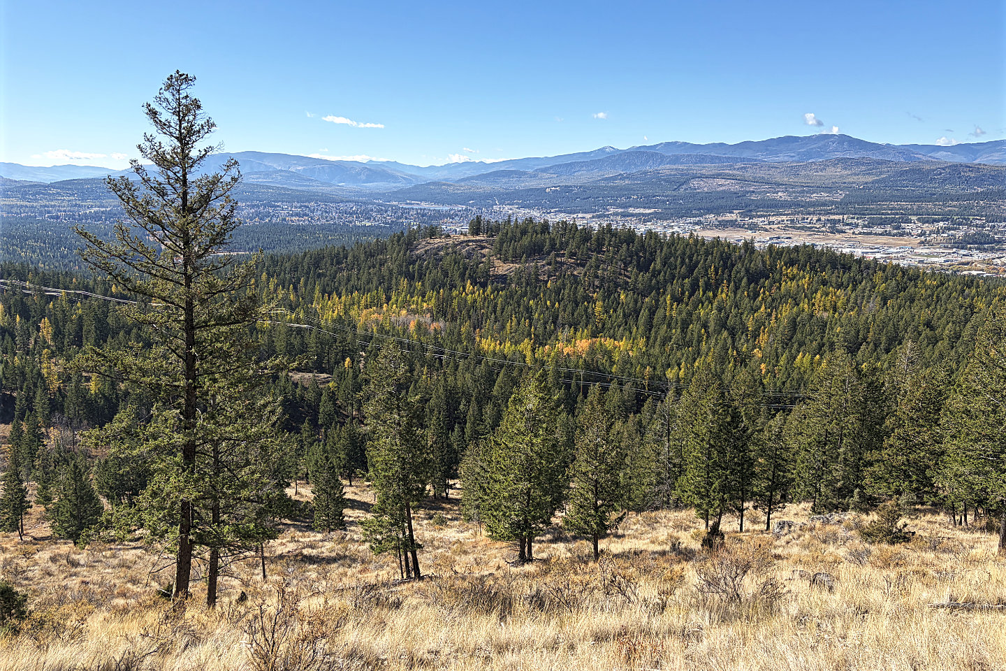 Windy Bluff sits 80 m below The Wall
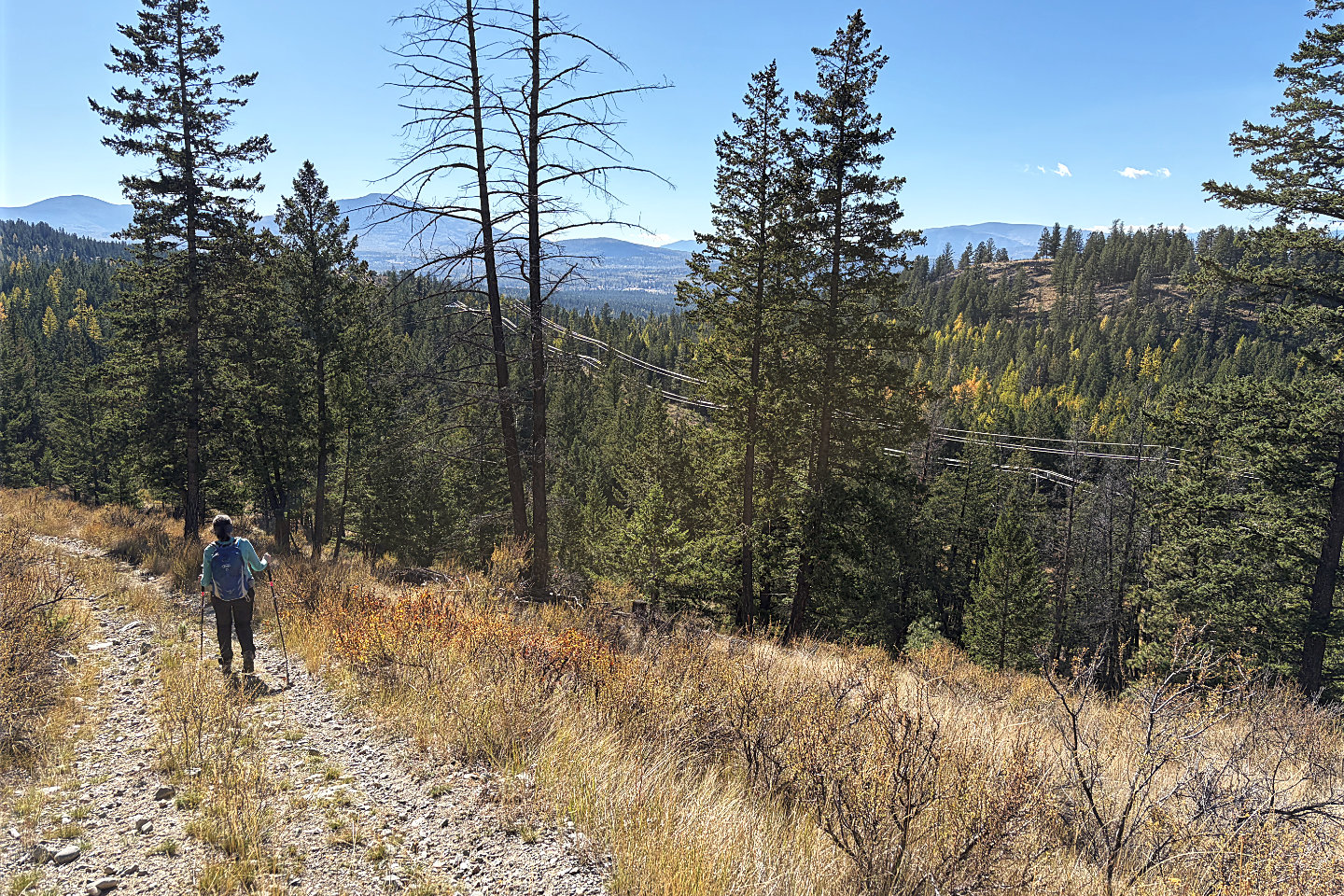 We dropped down 140 m before climbing up Windy
Bluff
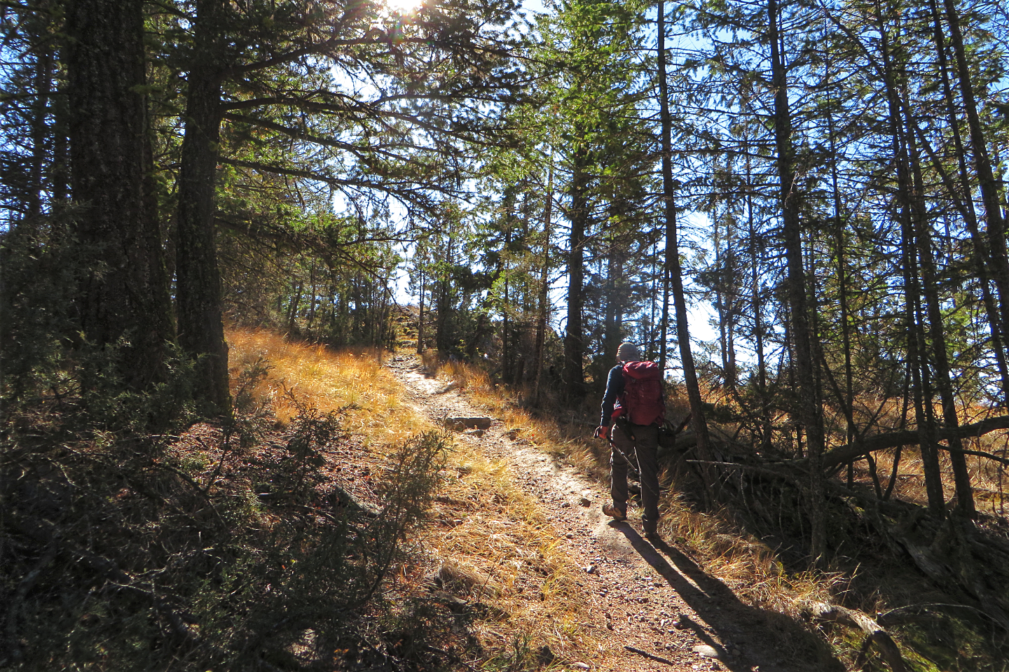 Coming up to the summit
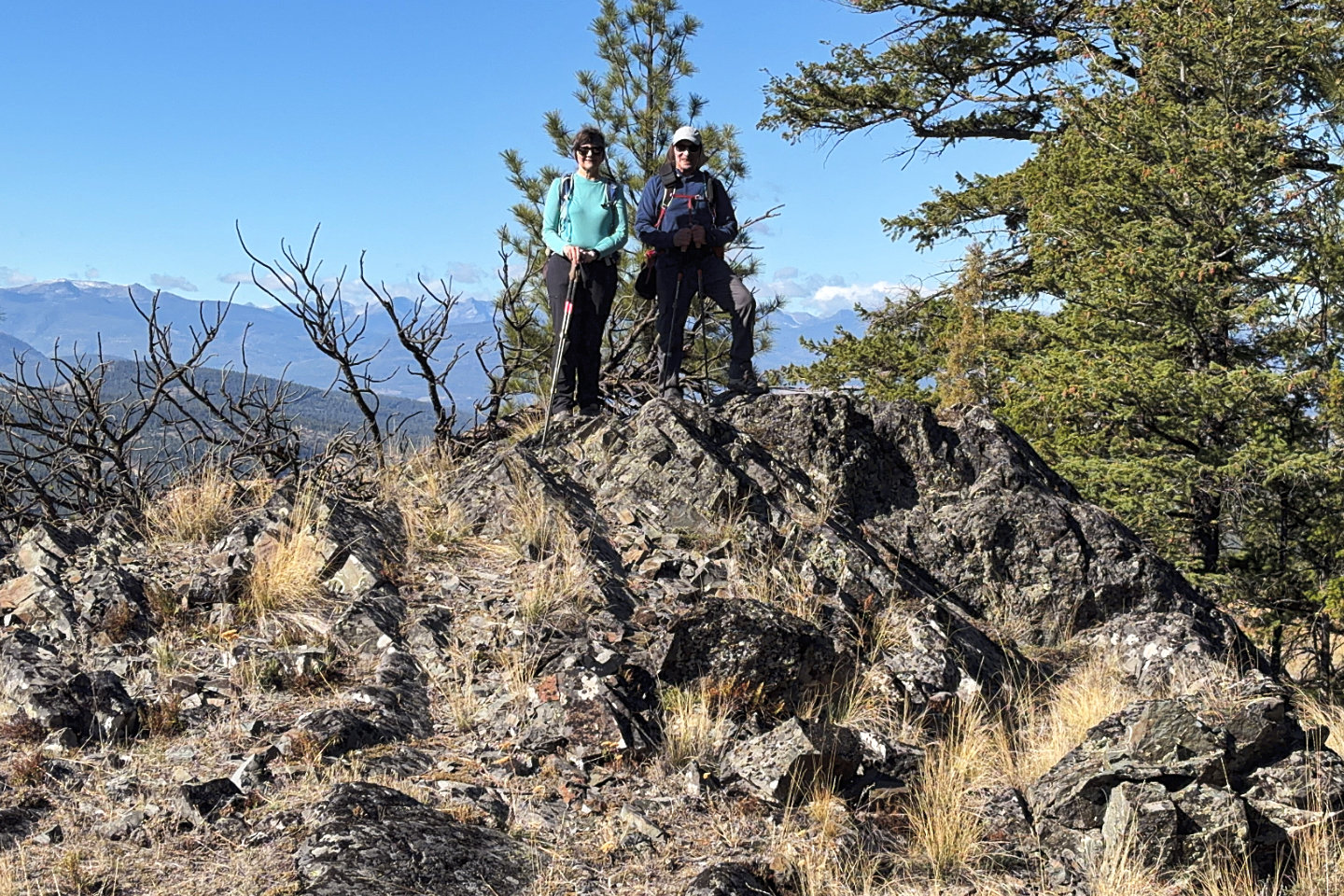 On the summit of Windy Bluff
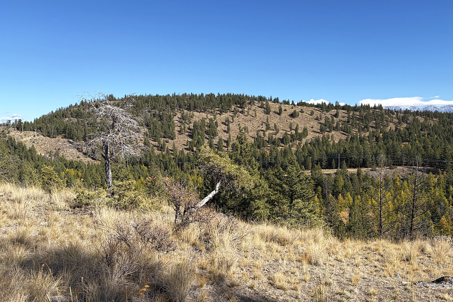 Looking back at The Wall
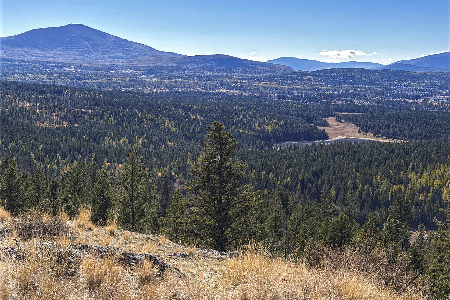 Cranbrook Mountain and Sylvan Lake
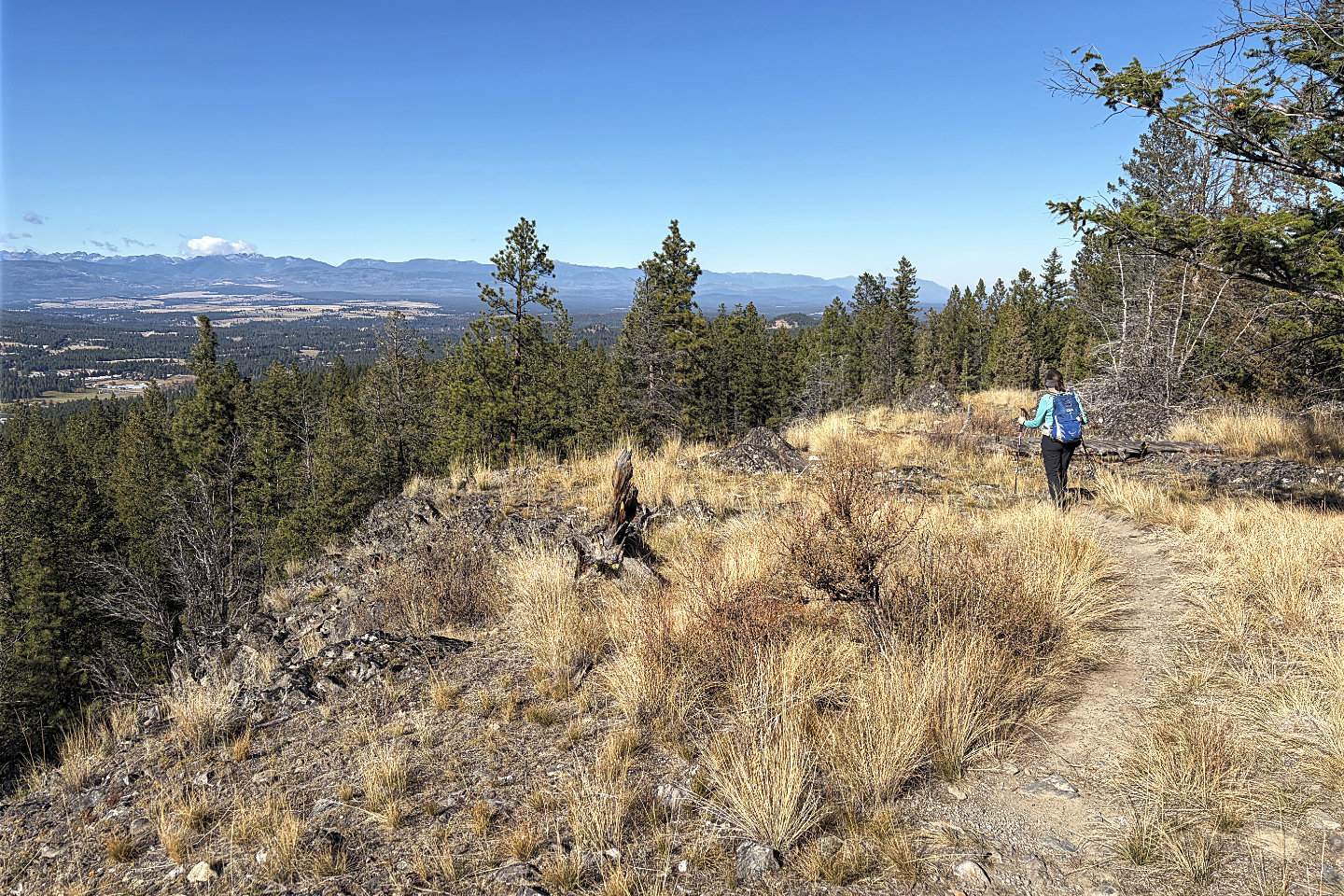 Heading back to the road
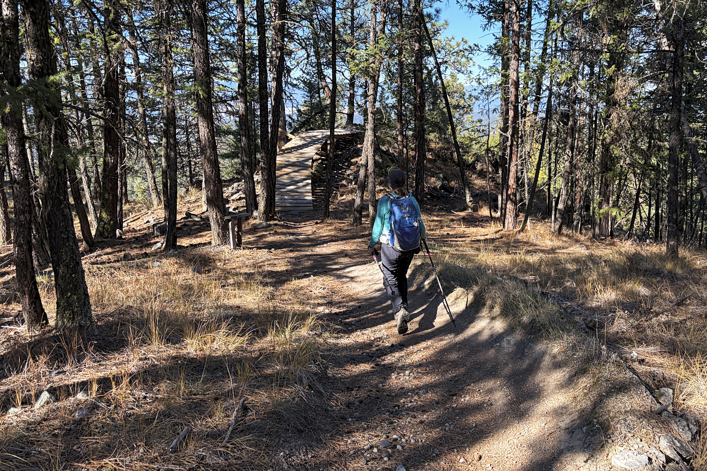 The banked corner and ramp were built for
mountain bikes
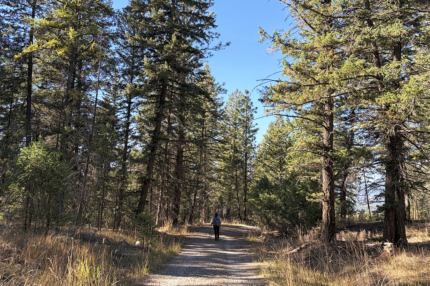 Back on the road