bobspirko.ca | Home | Canada Trips | US Trips | Hiking | Snowshoeing | MAP | About
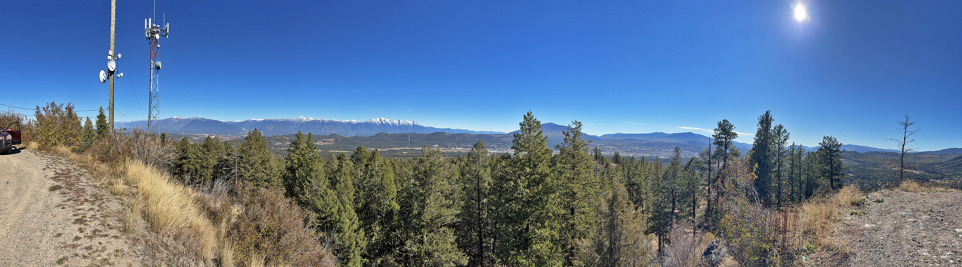 Looking southeast from the top
Beacon Hill
Cranbrook, B.C.
October 12, 2026
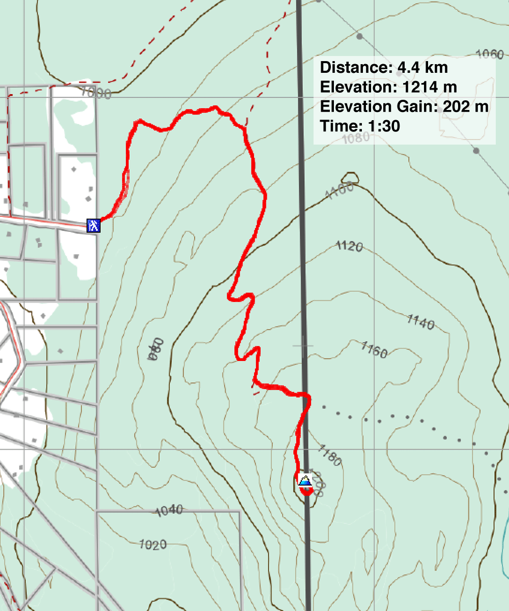
Distance: 4.4 km (2.7 mi)
Cumulative Elevation Gain: 202 m (663 ft)
After arriving in Cranbrook in the afternoon, Dinah and I settled on a brief hike up Beacon Hill. Named for the communication towers on the top, Beacon Hill is short on views but easily reached by walking up a road through the forest. (Not to be confused with Beacon Hill in Kamloops also in B.C.)
We parked at the trailhead on the northwest edge of the city and started up the road. It includes a few switchbacks, which we followed, but shortcut roads can be taken to shorten the trip further. There was little to see until we reached the summit, and even then, buildings and trees permitted only narrow views. We soon headed back down. Beacon Hill provided a little exercise, a view of distant peaks, and a chance to see larches turning yellow.
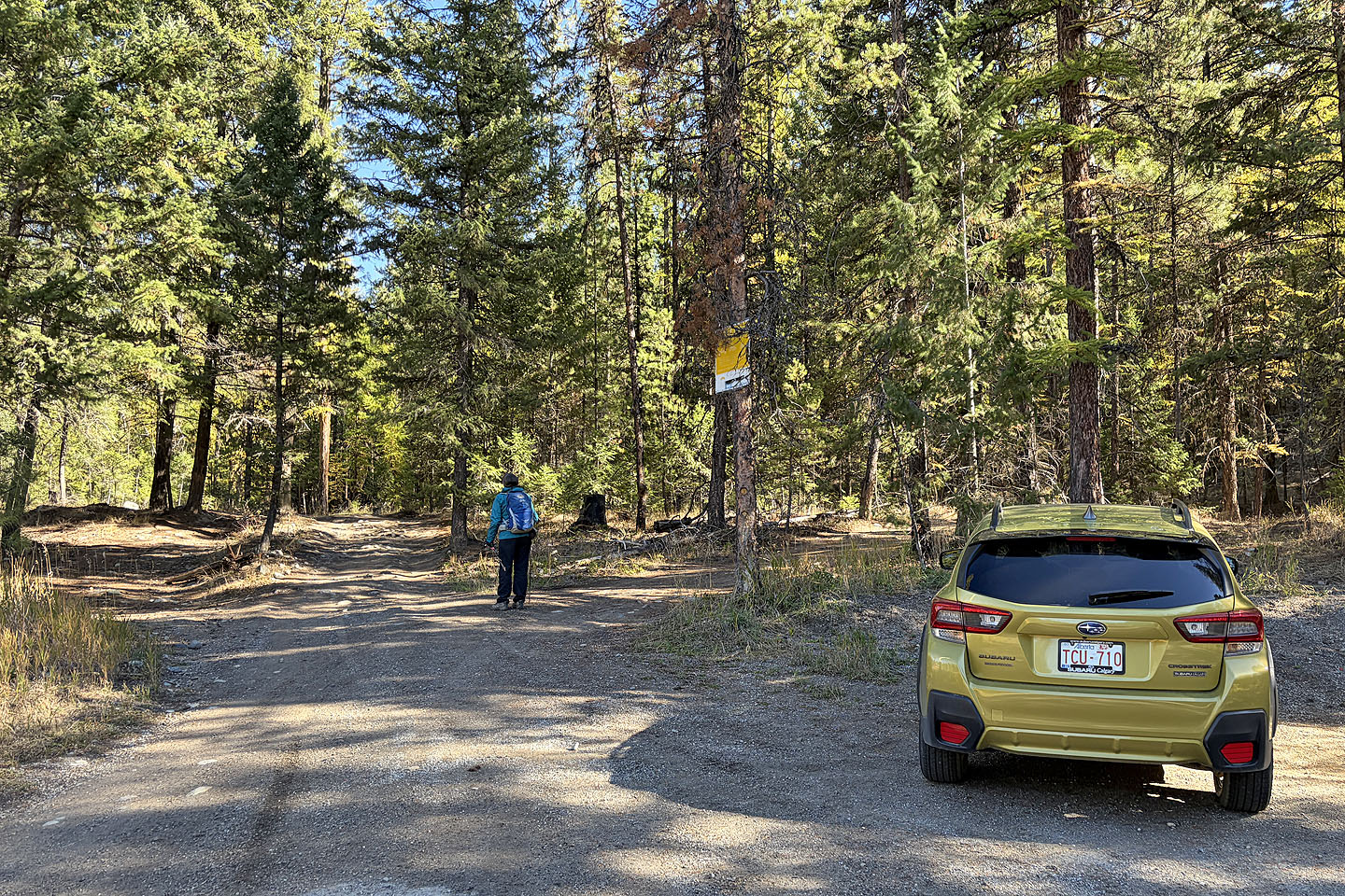 Starting up the trail
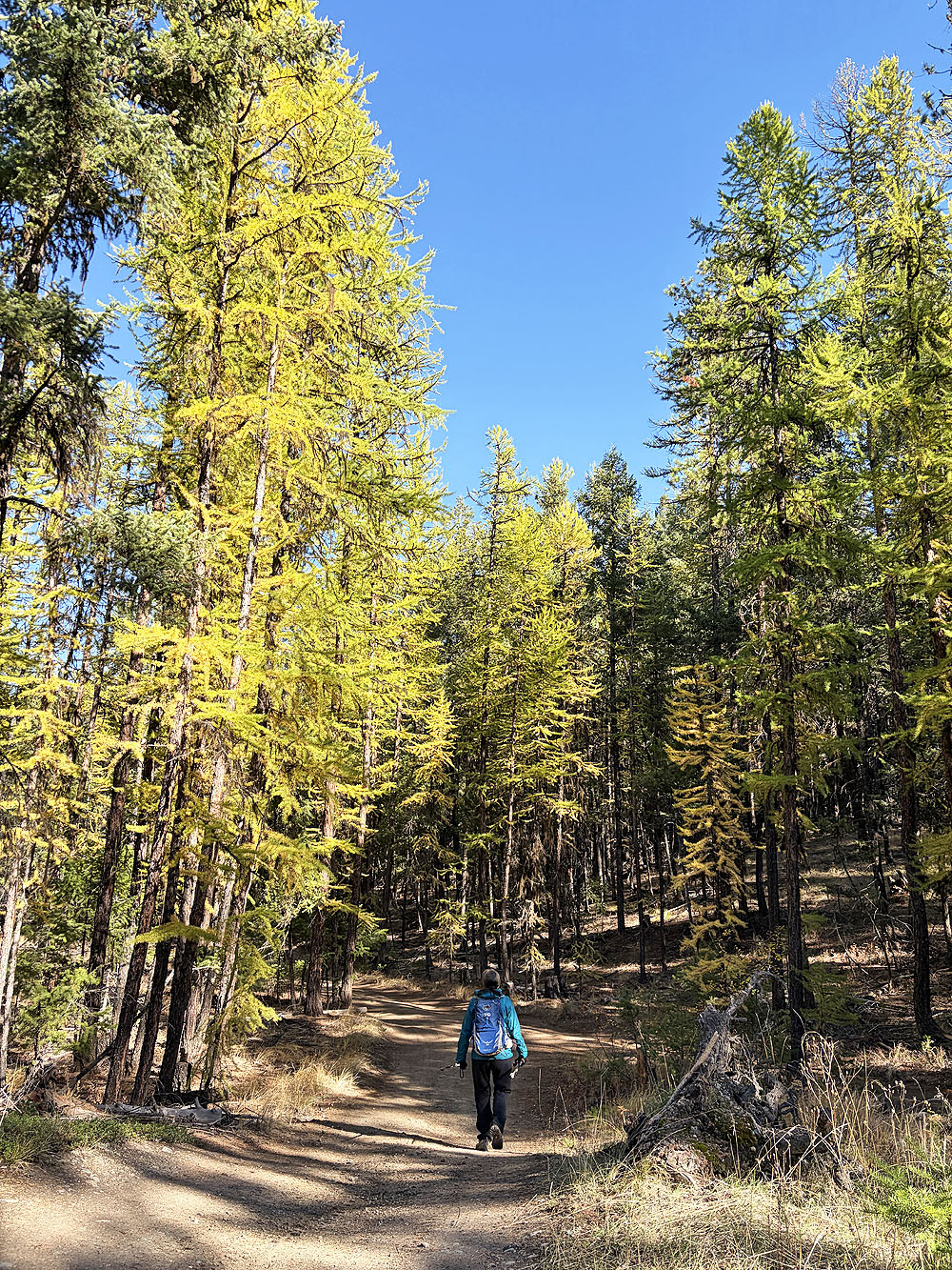
We soon started seeing larches
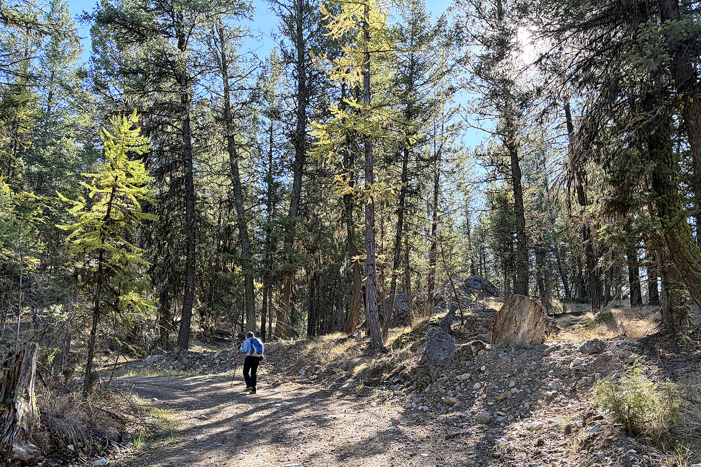 The road runs to the top with no views along the way
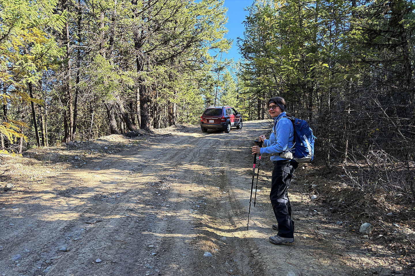 An SUV drove by, scraping its bottom as it
went. Apparently it carried workers servicing the structures on top.
An SUV drove by, scraping its bottom as it
went. Apparently it carried workers servicing the structures on top.
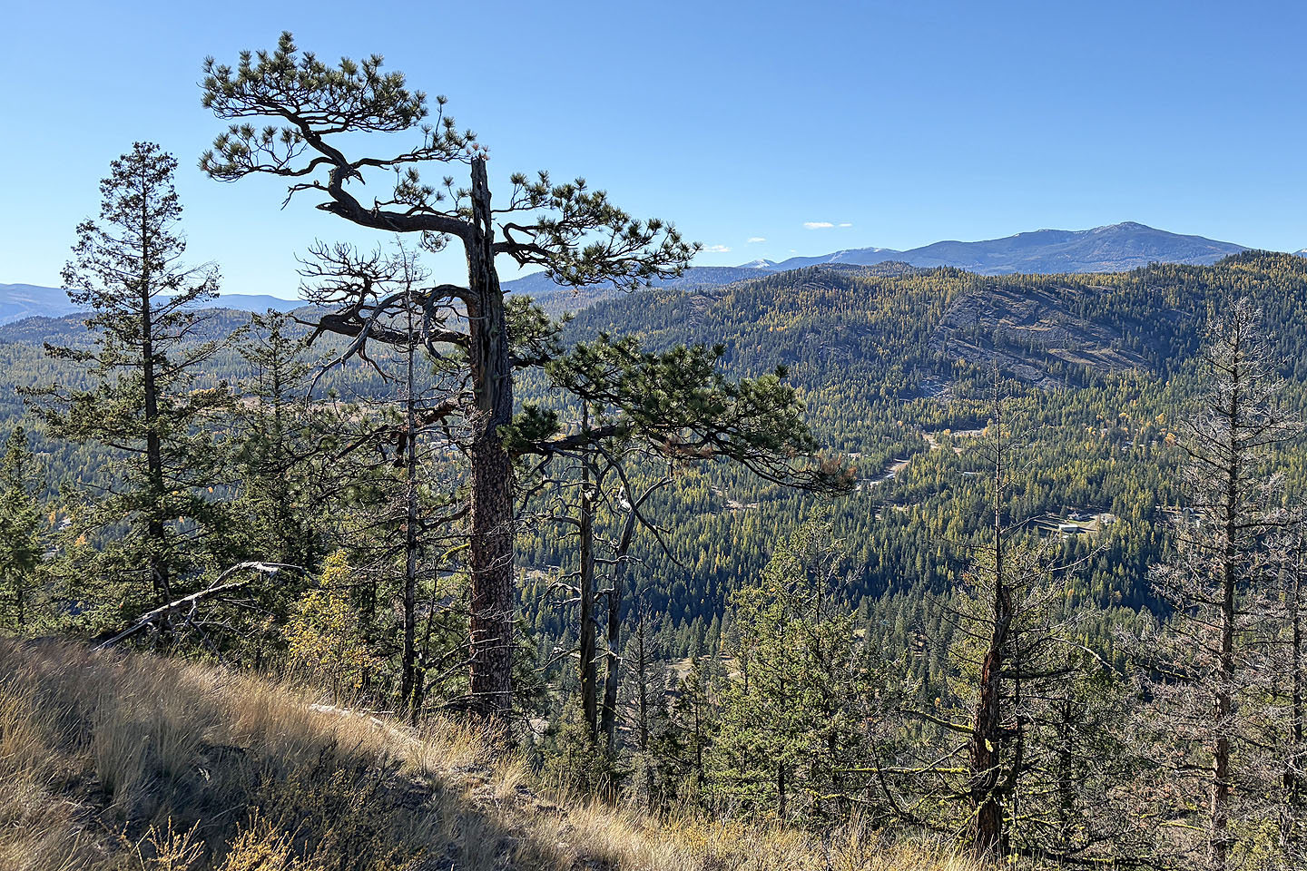 An old ponderosa pine caught my eye
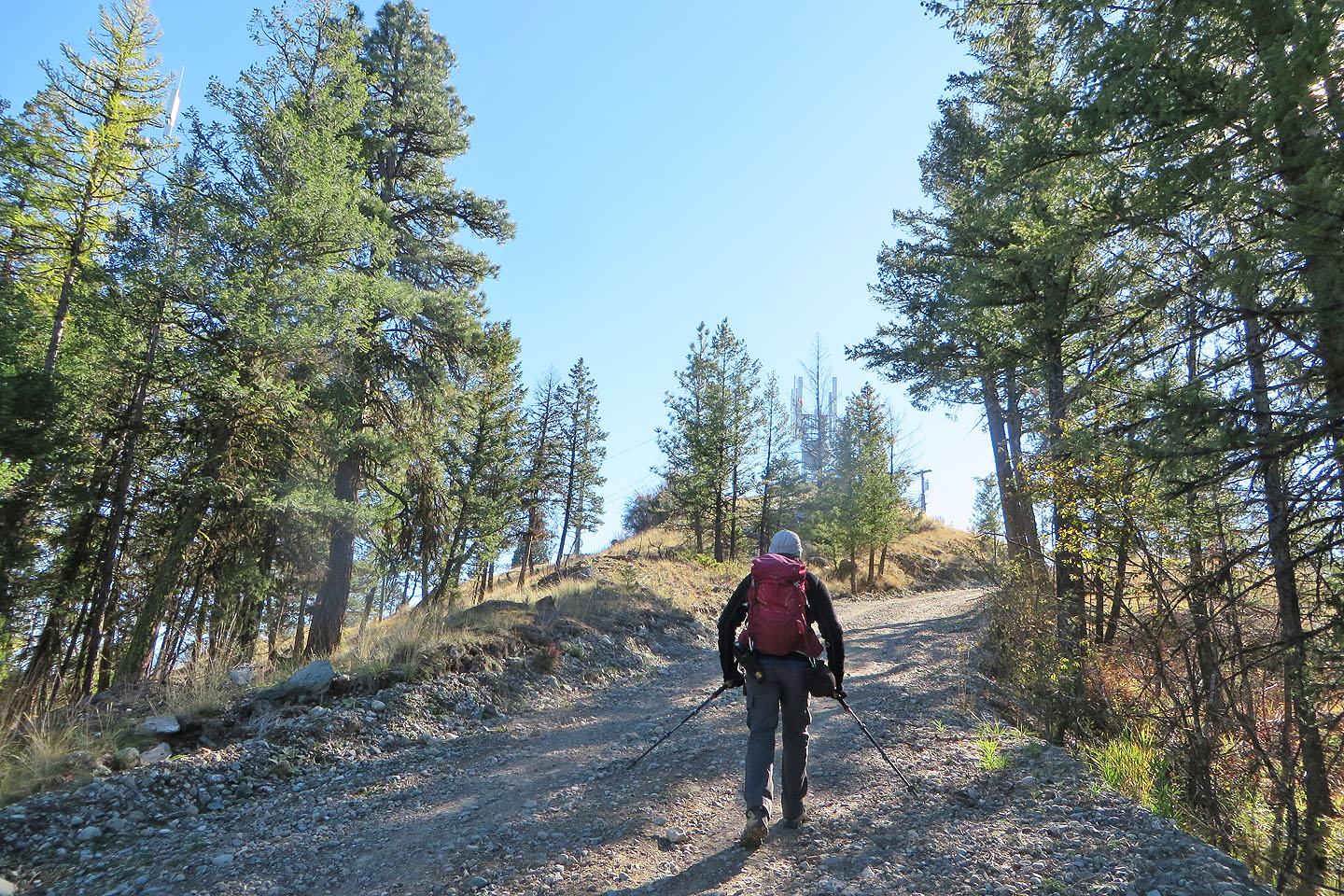 Coming up to the summit
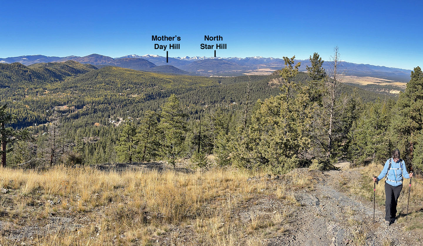 Looking north at Mother's Day Hill and
North Star Hill
Looking north at Mother's Day Hill and
North Star Hill
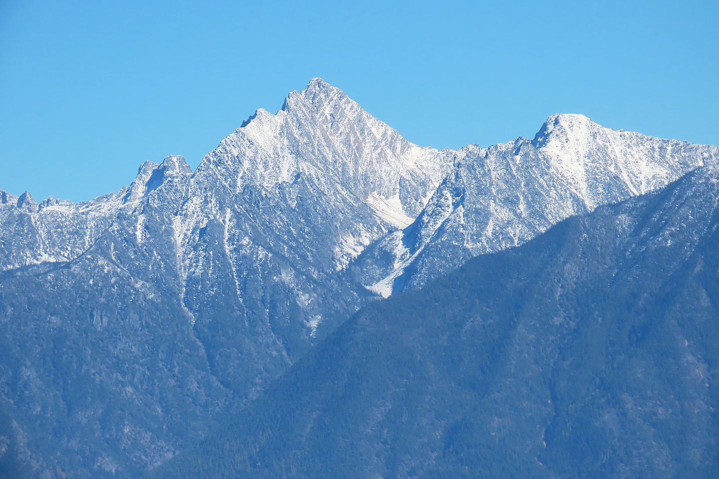 Mount Fisher had a dusting of snow
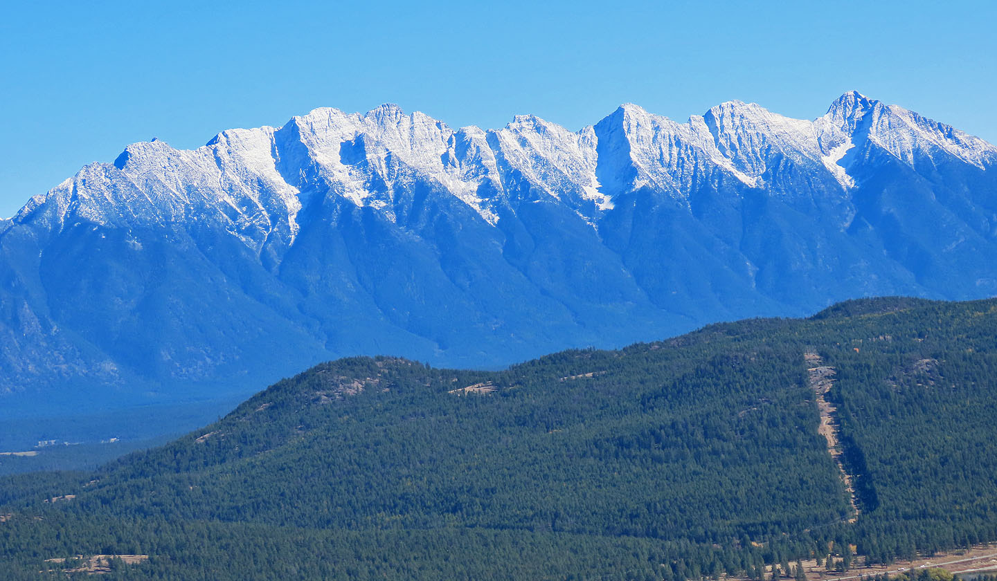 Above
The Beeline (lower left), The Steeples were also snow-covered
Above
The Beeline (lower left), The Steeples were also snow-covered