bobspirko.ca | Home | Canada Trips | US Trips | Hiking | Snowshoeing | MAP | About
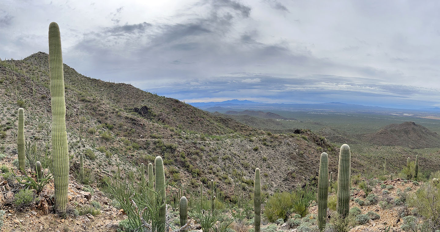
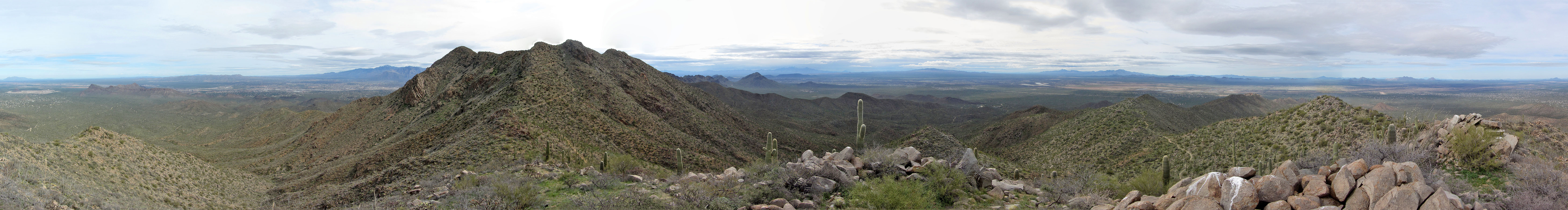
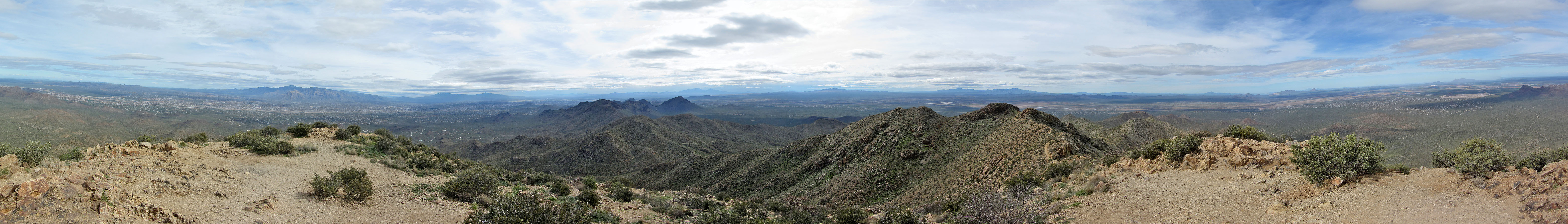 Panorama from Wasson Peak
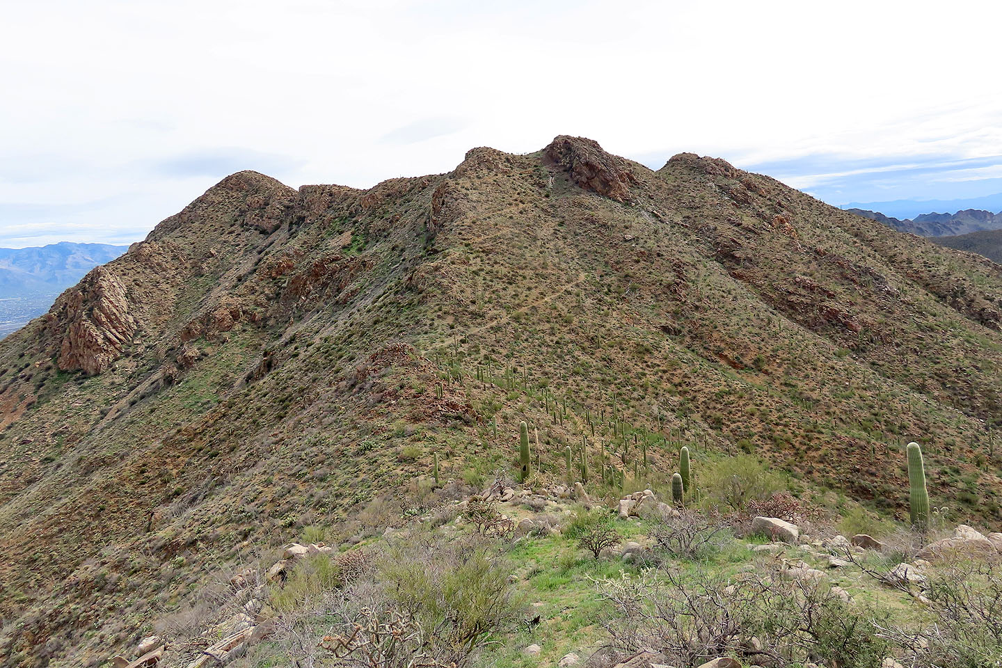
Wasson Peak and Amole Peak
Saguaro National Park, Arizona
February 27, 2024
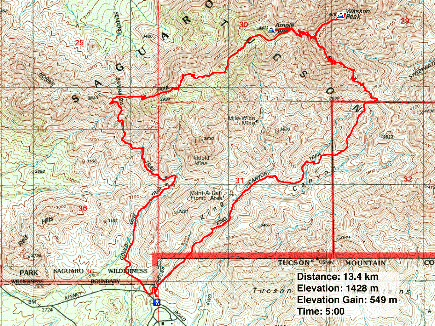
Distance: 13.4 km (8.3 mi)
Cumulative Elevation Gain: 588 m (1929 ft)
There are a few ways to reach Wasson Peak, but the most popular one is a loop that uses Gould Mine Trail, Hugh Norris Trail and Kings Canyon Trail. Using this route, one can also bag Amole Peak, a subpeak of Wasson.
From the large parking lot, it's a brief walk to a fork: left for Gould Mine Trail and right for Kings Canyon Trail. Dinah and I went left, crossed a deep wash, and continued up the trail. It takes a wide turn before straightening out. Ahead, the orange mine tailings of Gould Mine stood out against the gray landscape. Along the trail, a variety of colourful wildflowers vied for our attention.
After pausing at the mine – there's not much to see – we turned onto Sendero Esperanza Trail. It cuts into the slope, gently climbing 1.6 km to intersect Hugh Norris Trail on a saddle. High up the mountain now, we paused to take in far-reaching views before turning right. With its smooth surface and numerous stone steps, Hugh Norris Trail was the easiest section of the hike. We followed it to the saddle that connects Amole Peak to Wasson Peak.
At the saddle, Dinah decided to hang back while I went up Amole Peak which was only 200 m away and 30 m up. It wouldn't take long. There's no trail, but I followed the ridge easily through cacti and over rocks and soon reached the little summit. I took a panorama before retracing my steps back. Meanwhile, Dinah had hiked a short way up the trail to wait for me.
After joining Dinah, we continued up the trail. It hits a fork: left for Wasson Peak and right for King Canyon Trail. We took the 600 m trail to the summit. We reached the top just as a large group of hikers was leaving. For a time, we relished having the summit to ourselves before others came. Several photos and a lunch later, we started down.
Unlike our ascent up Hugh Norris Trail, our descent down King Canyon Trail stood in sharp contrast. While we glided up the former, we stumbled down the loose rock on the latter. The views were disappointing too. The trail quickly drops below surrounding hills leaving little to see. It would be better to hike the loop counterclockwise. Not only would it be easier to go up King Canyon Trail, but it would leave the vistas on Hugh Norris Trail ahead of you instead of behind.
Eventually, King Canyon Trail reaches King Canyon Wash. While it's possible to return on the wash, we favoured taking the trail. It climbs at first, giving a last, far-ranging view before returning to the trailhead.
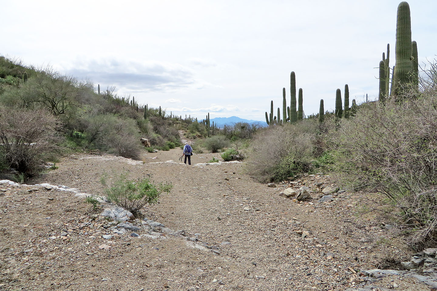
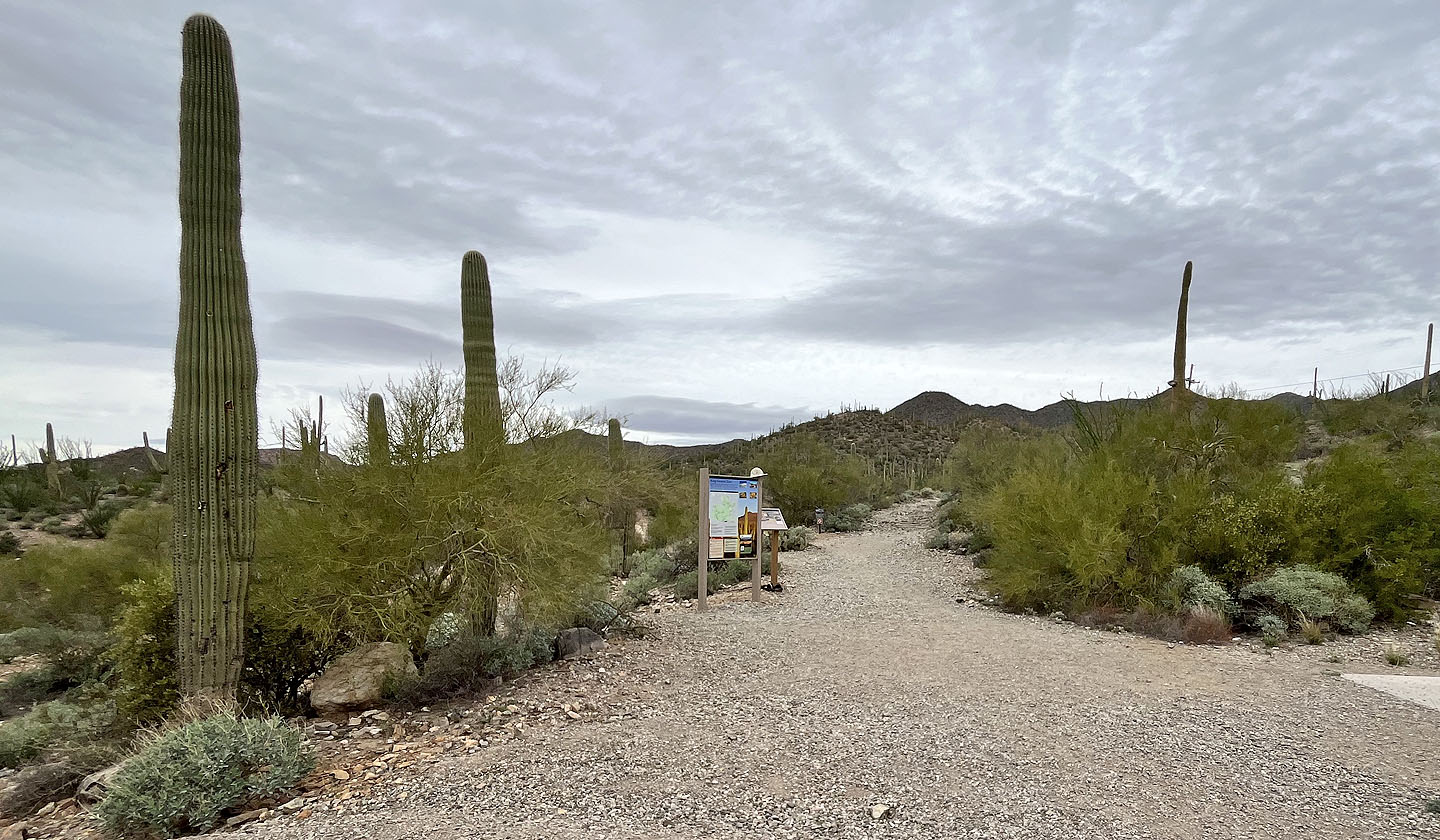 Wasson Peak trailhead
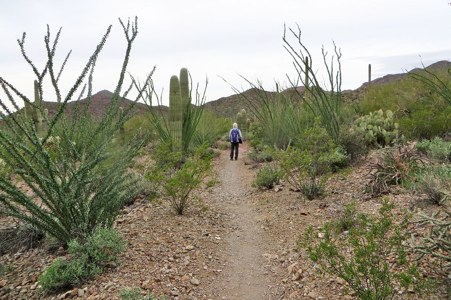 Starting on Gould Mine Trail
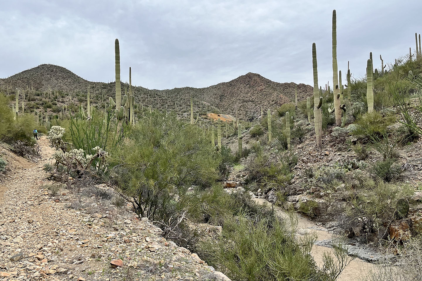
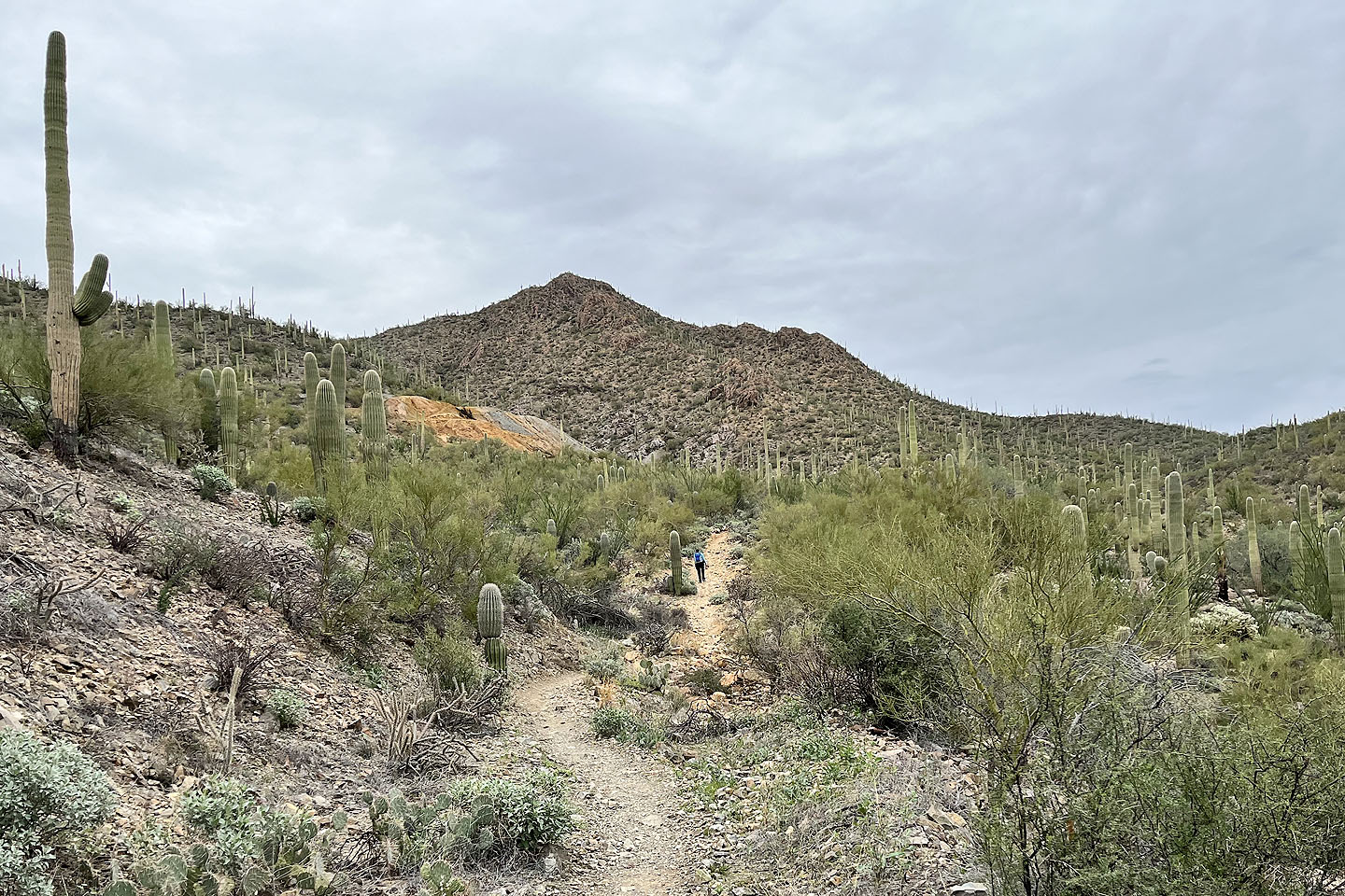
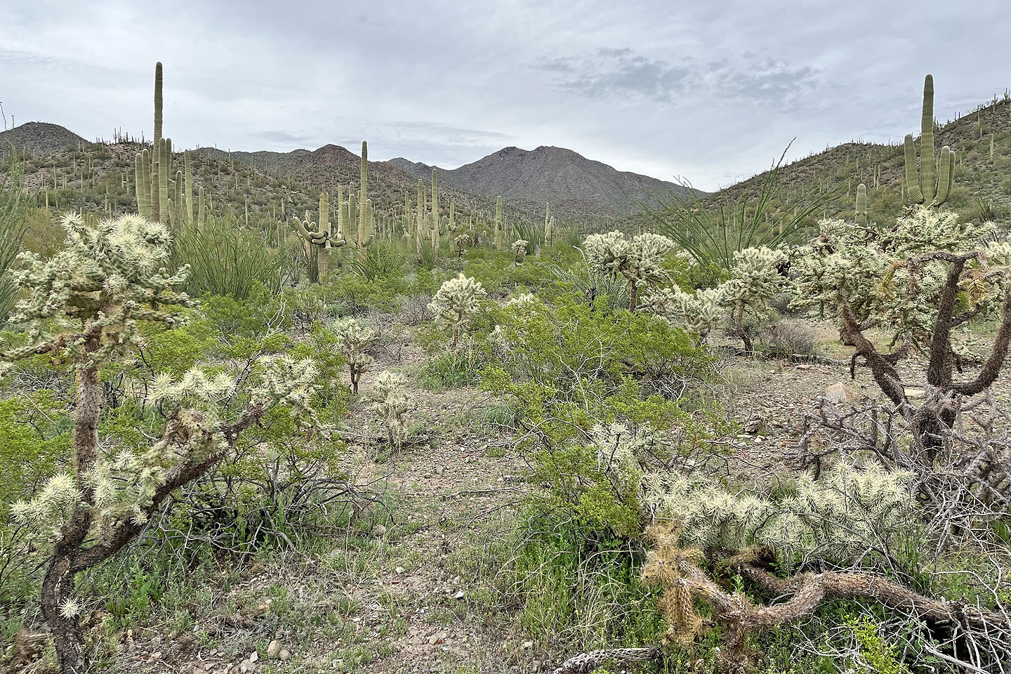 View of Wasson Peak from the trail
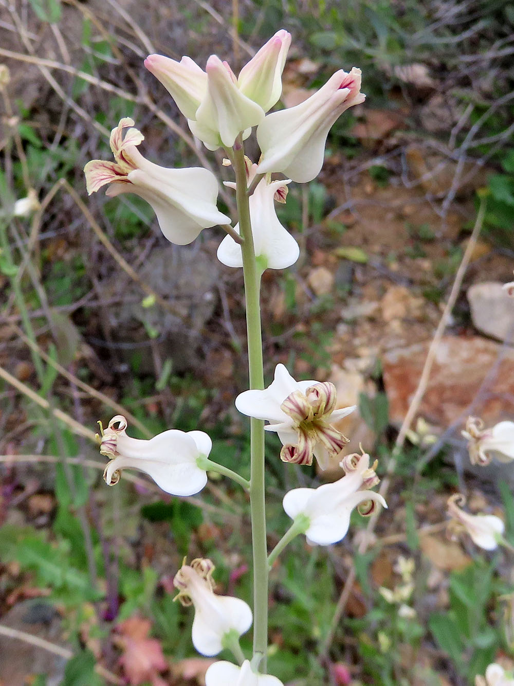
Arizona jewel flower
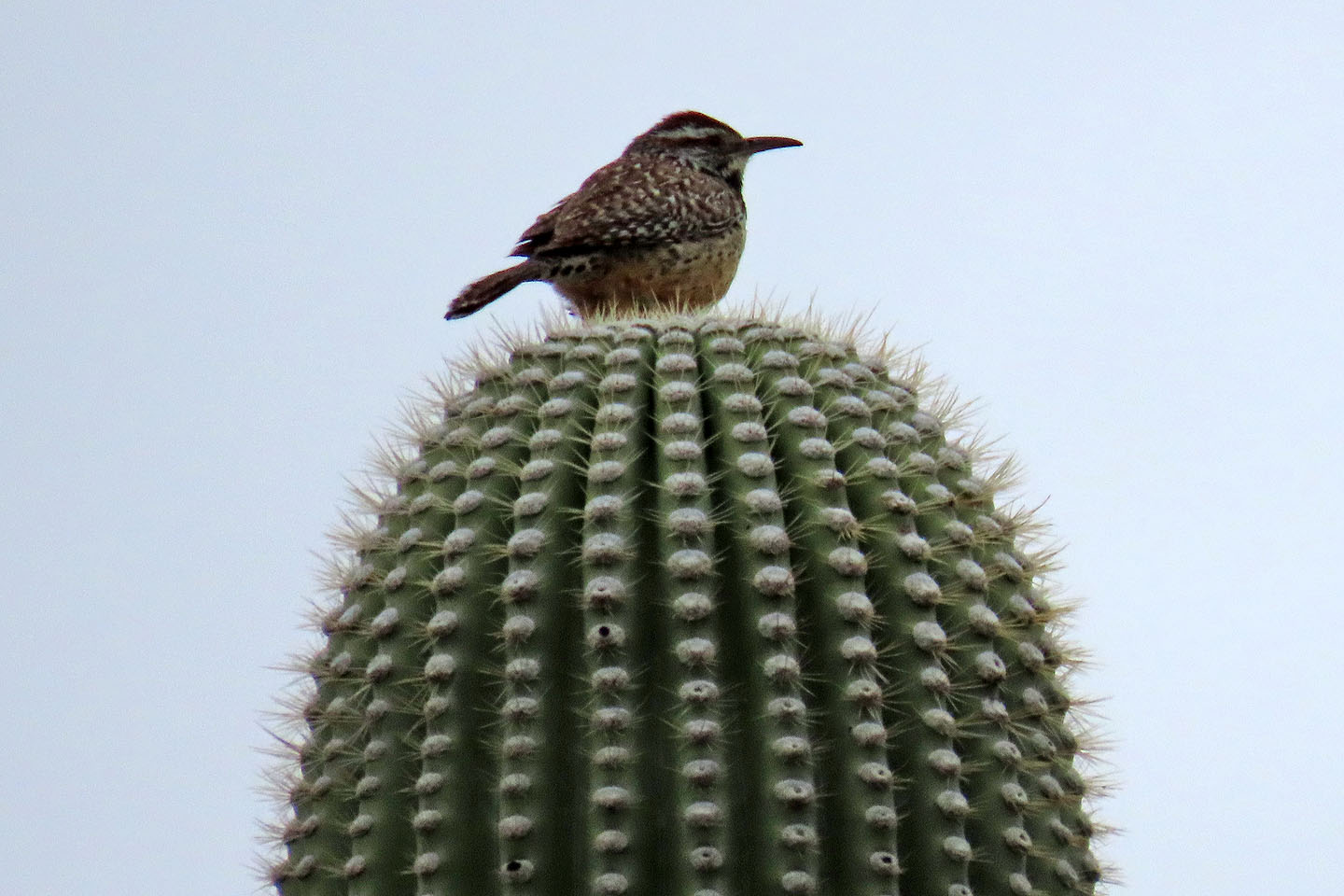 Cactus wren, state bird of Arizona
 After going around a bend, the mine tailings of Gould Mine appear
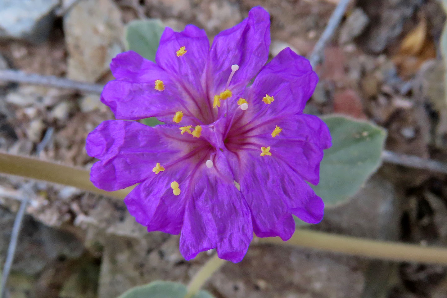 Trailing four o'clock
 Drawing closer to the mine
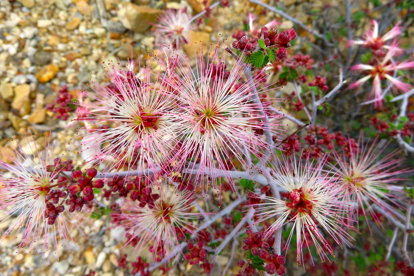 Fairy duster
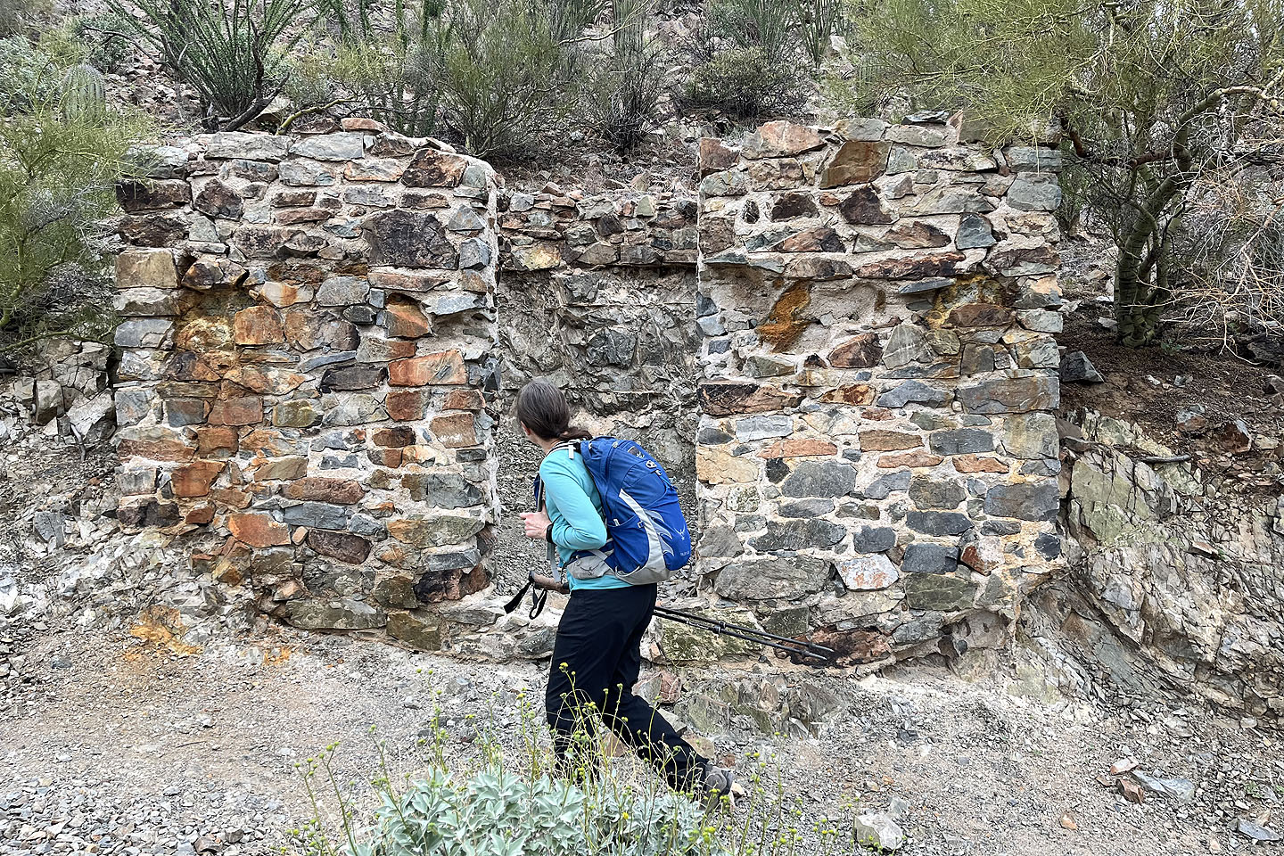 Dinah passes the remains of a stone building at the mine
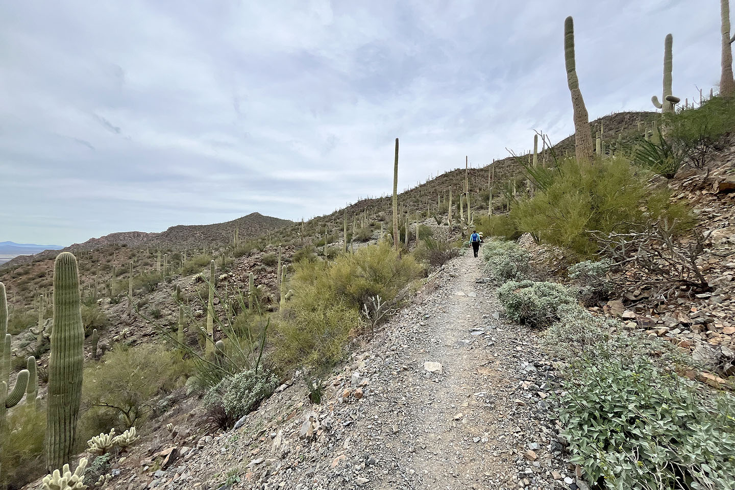 Continuing past the mine on Sendero Esperanza Trail
 Looking back
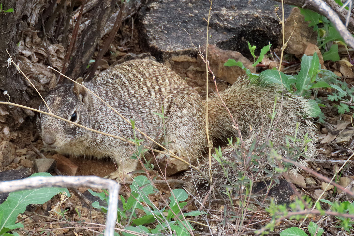 Rock squirrel. Mouse over to see it sitting on a rock.
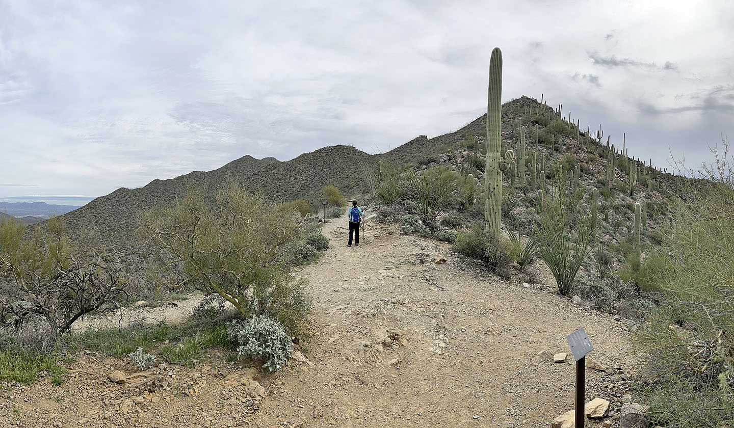 We turned right at this junction to get onto Hugh Norris Trail
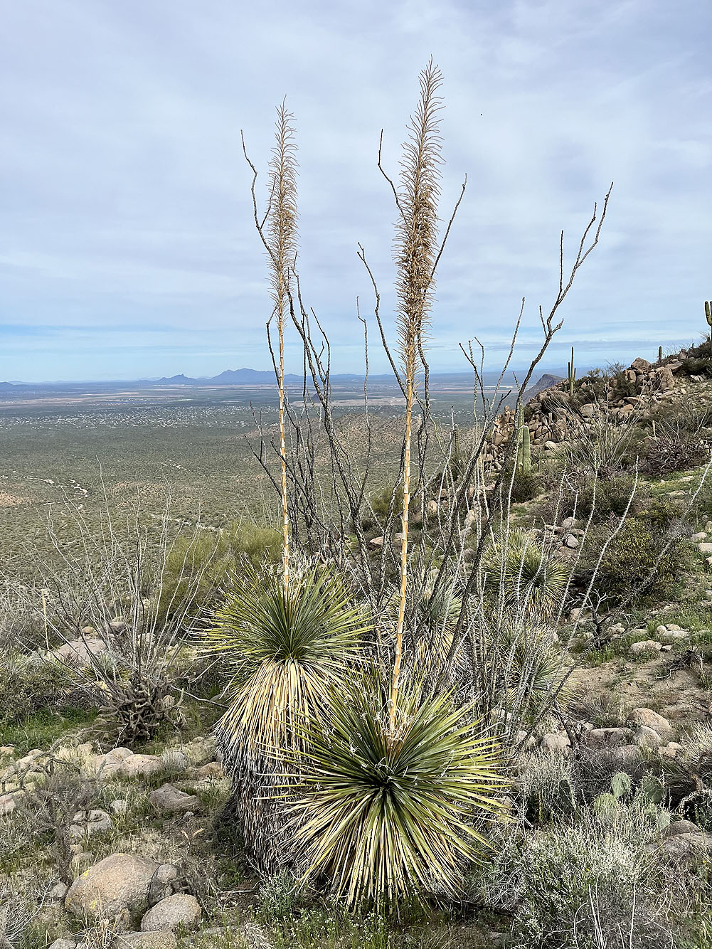
Sotol
 A cristate barrel cactus grows by the trail (mouse over for a close-up)
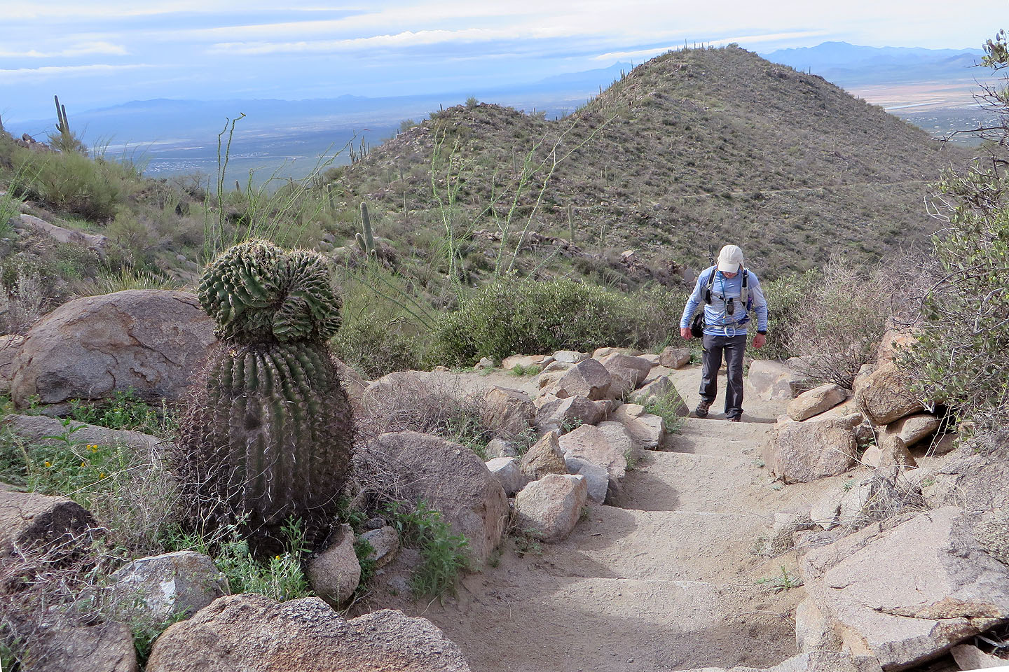
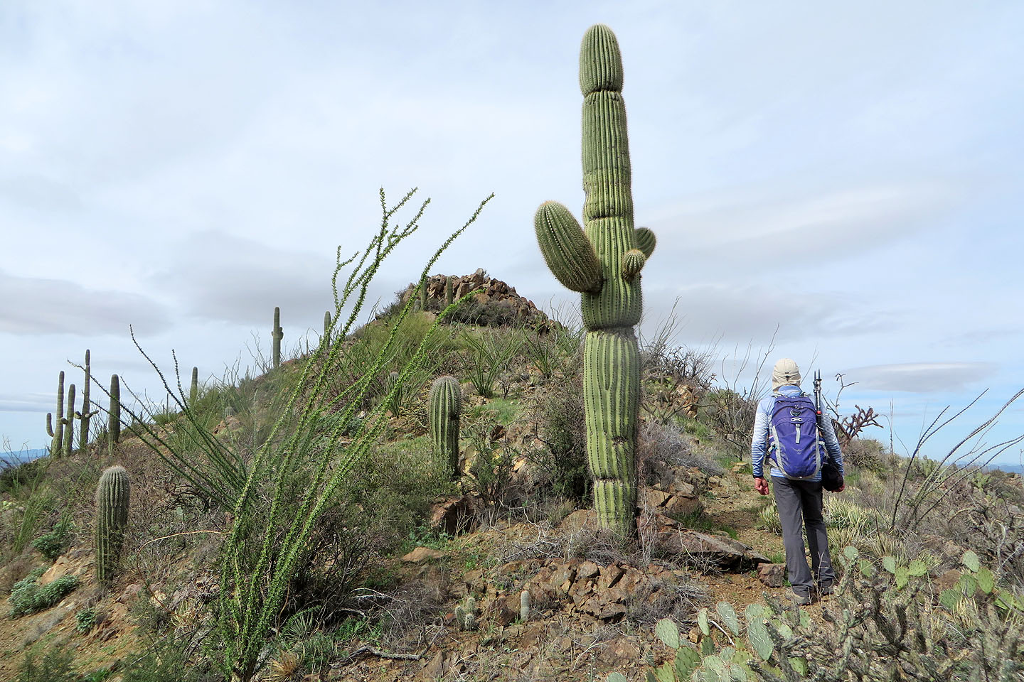
 Of the three dark bumps in the background, the summit is far left
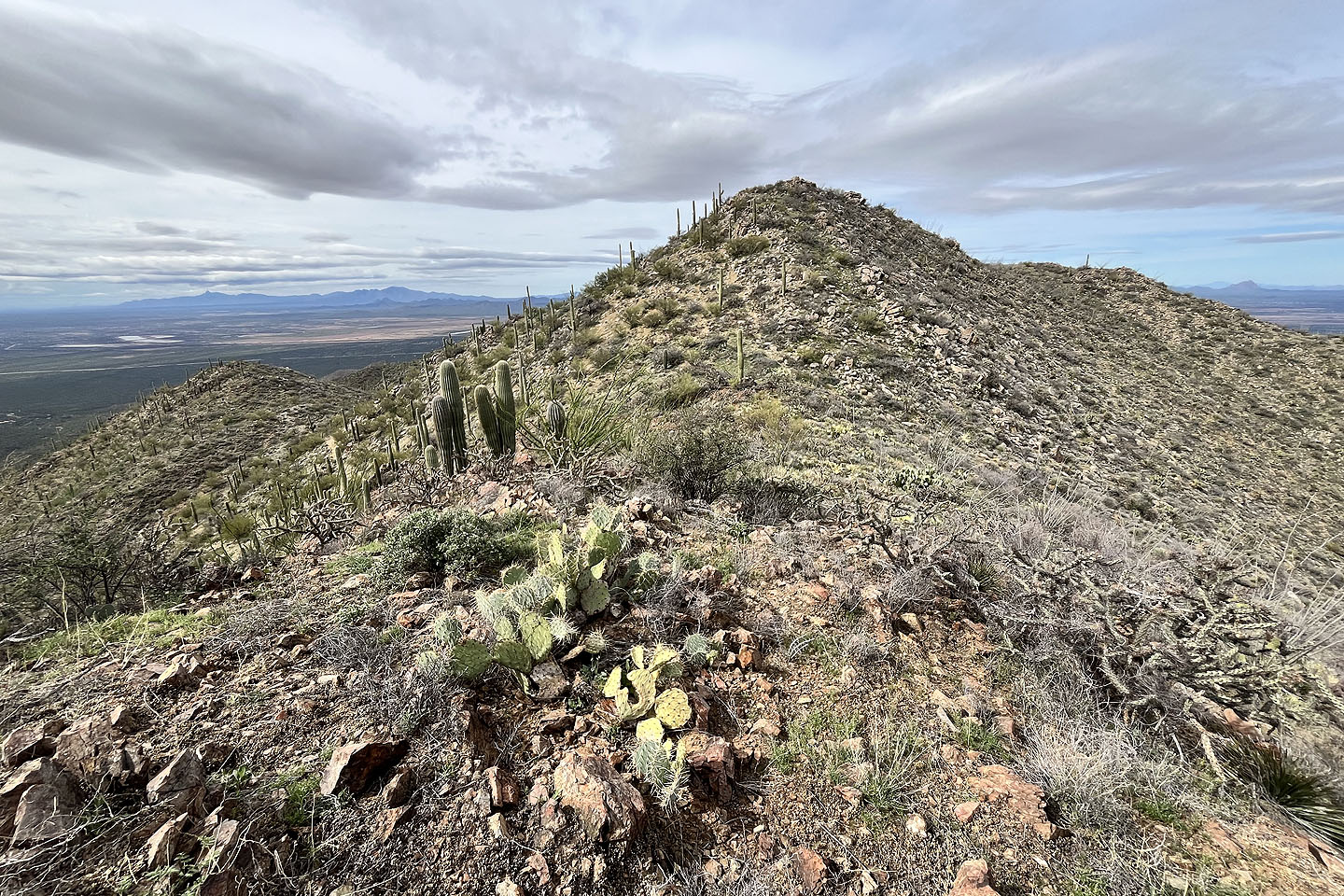
 Amole Peak appears in the centre
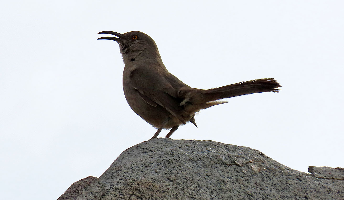 Curved-bill thrasher
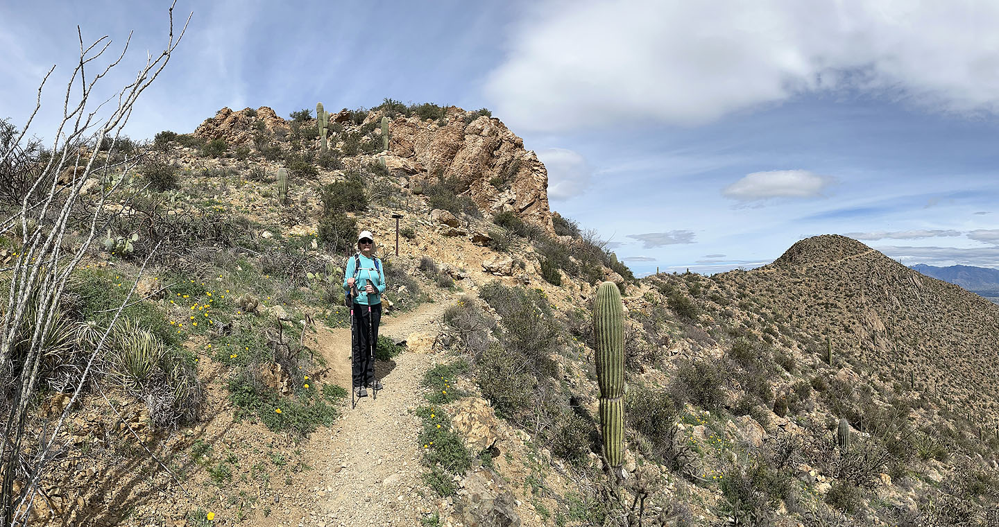
 Starting up Amole Peak from the trail. A false summit is ahead.
 Amole seen from the false summit
 Almost on the summit
Standing on top of Amole Peak (mouse over for a close-up)
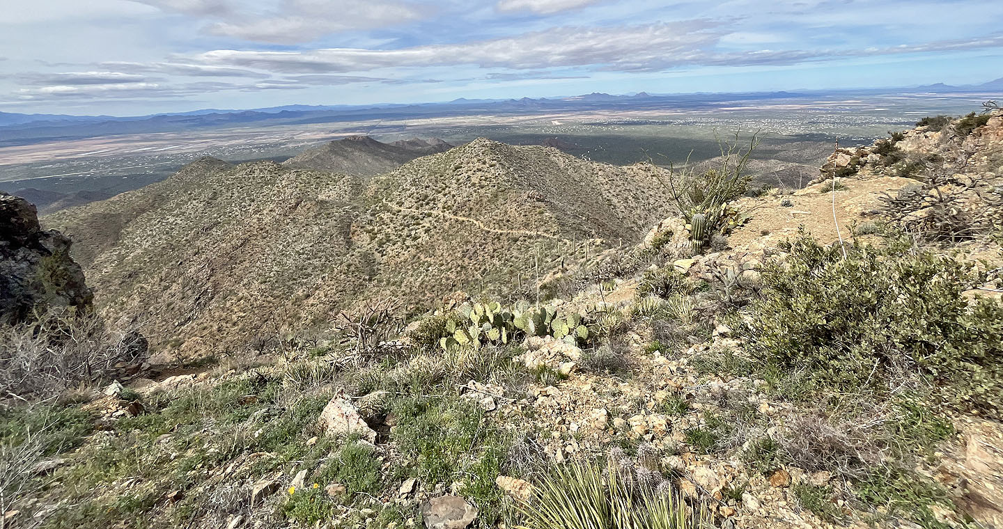
 Panorama from Amole Peak
 Looking at Wasson from Amole. Summit is left. Dinah is in the centre on the trail (mouse over).
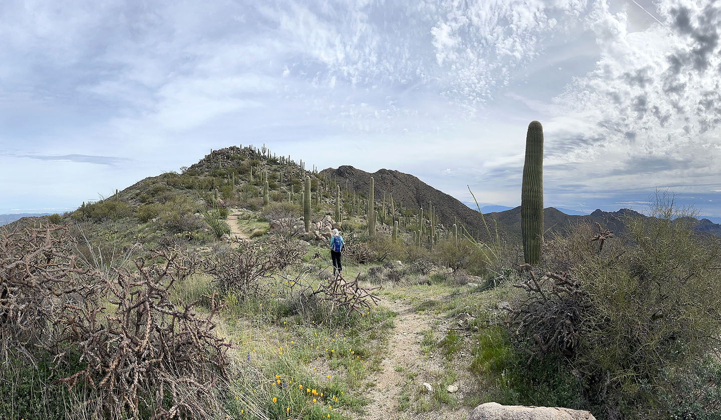
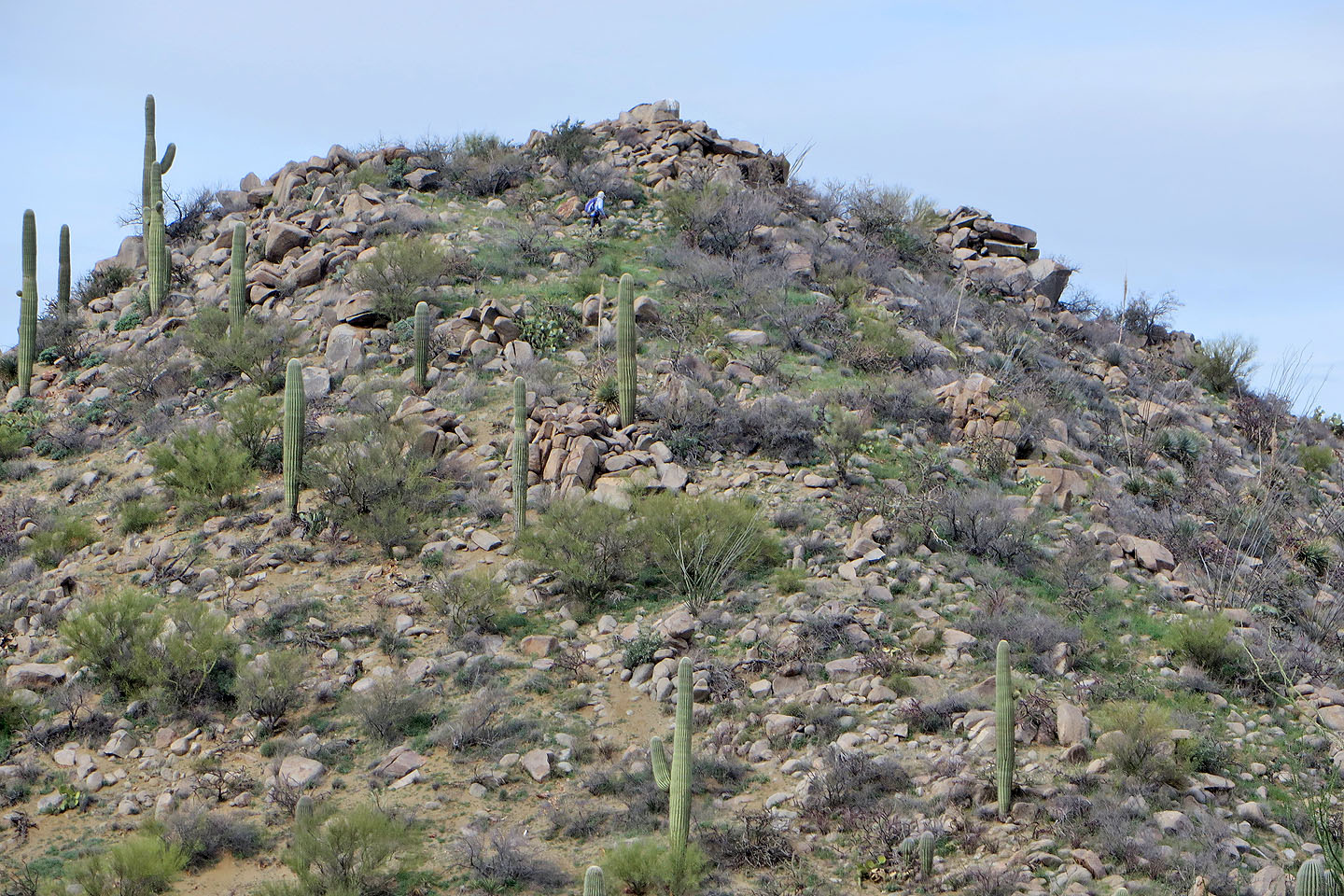
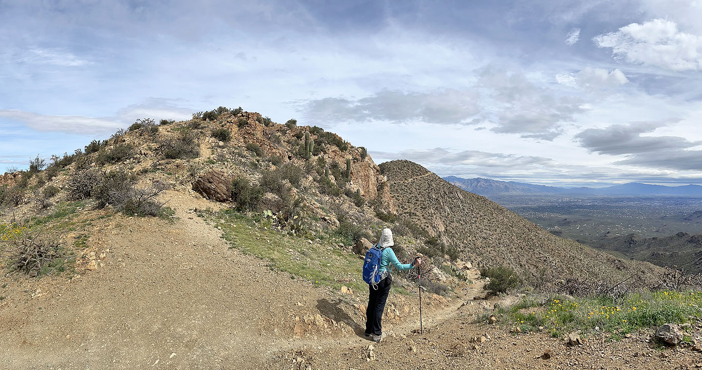
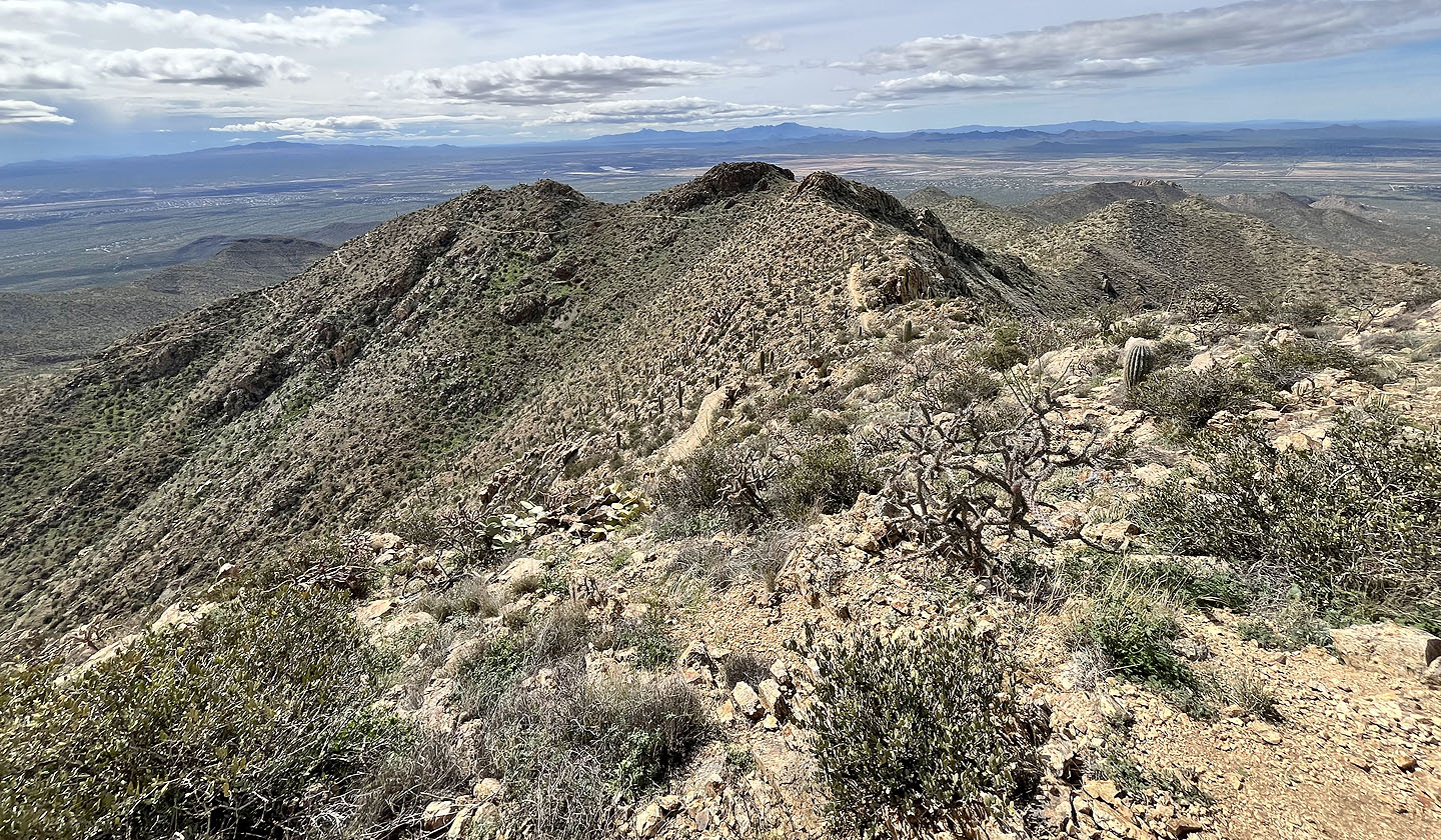
 We continued to the summit, far left
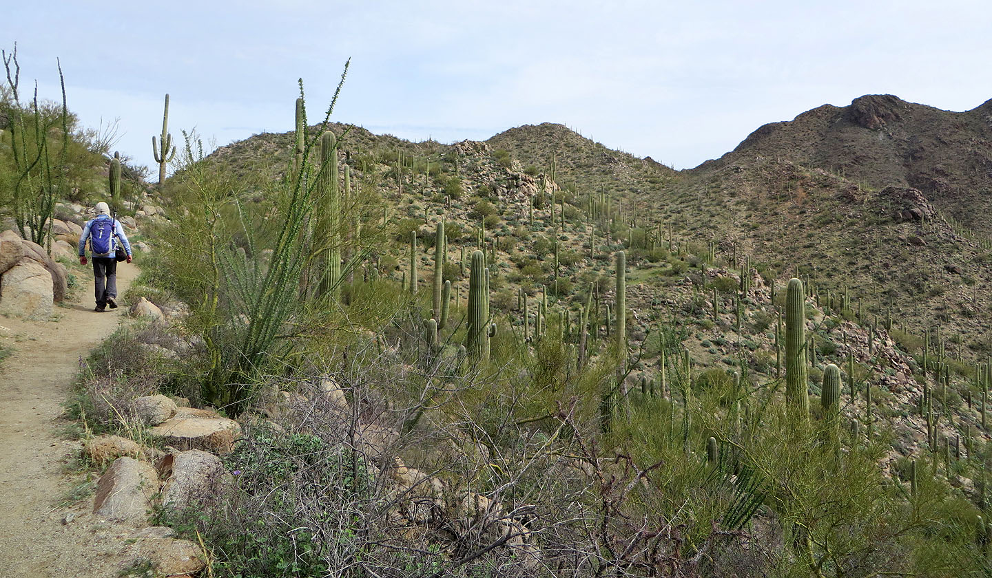
 The trail continues climbing
 Looking back at Amole from a saddle
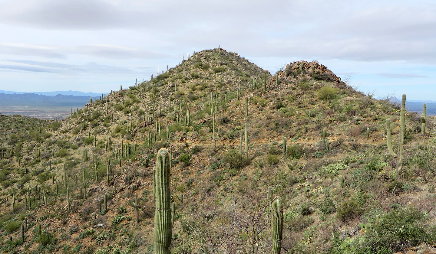
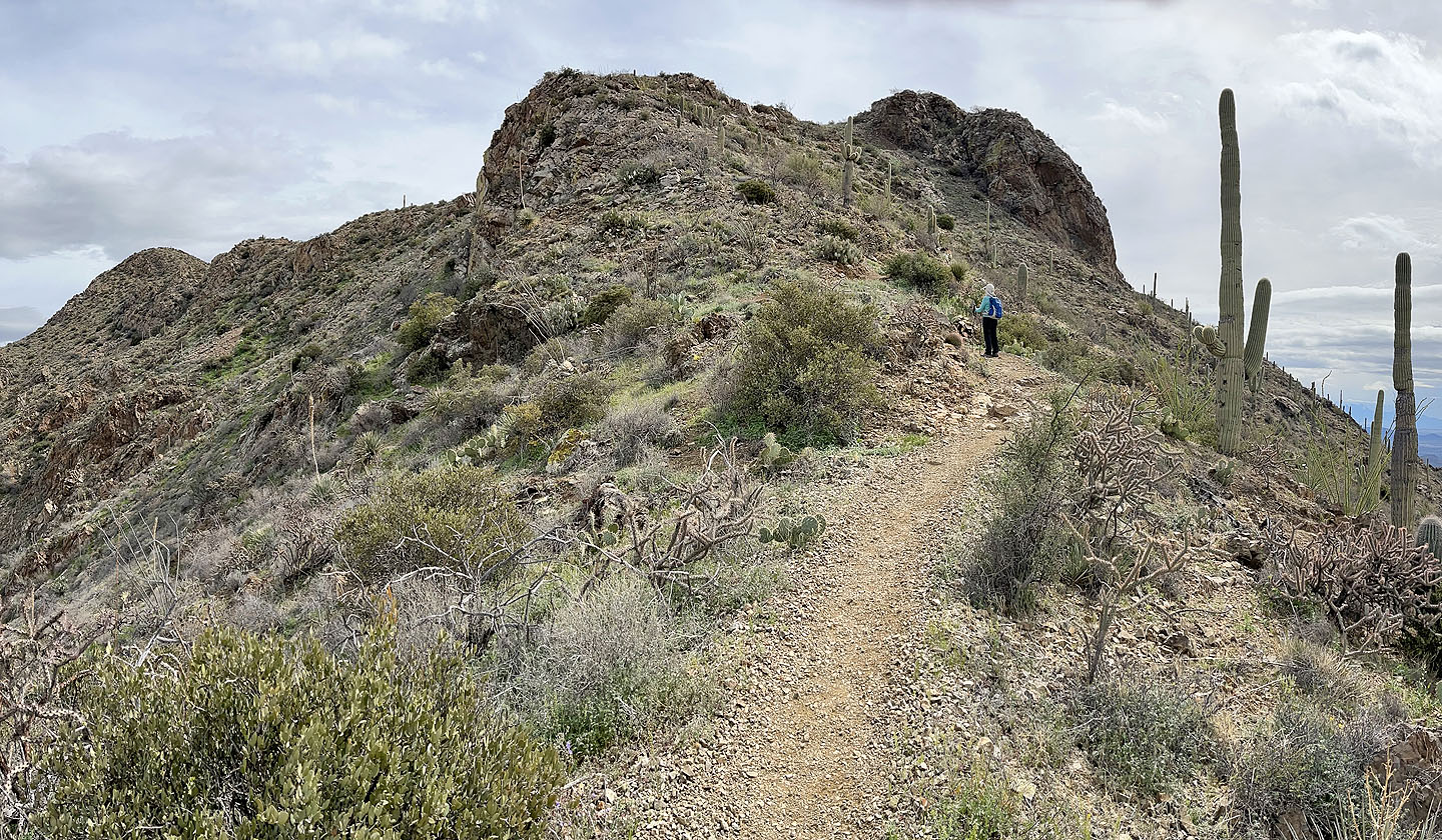
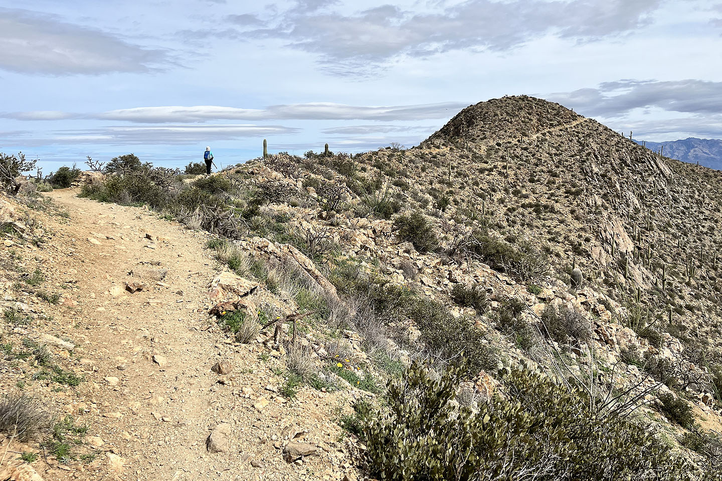
 The summit of Wasson is just around the corner
 On our way to the top
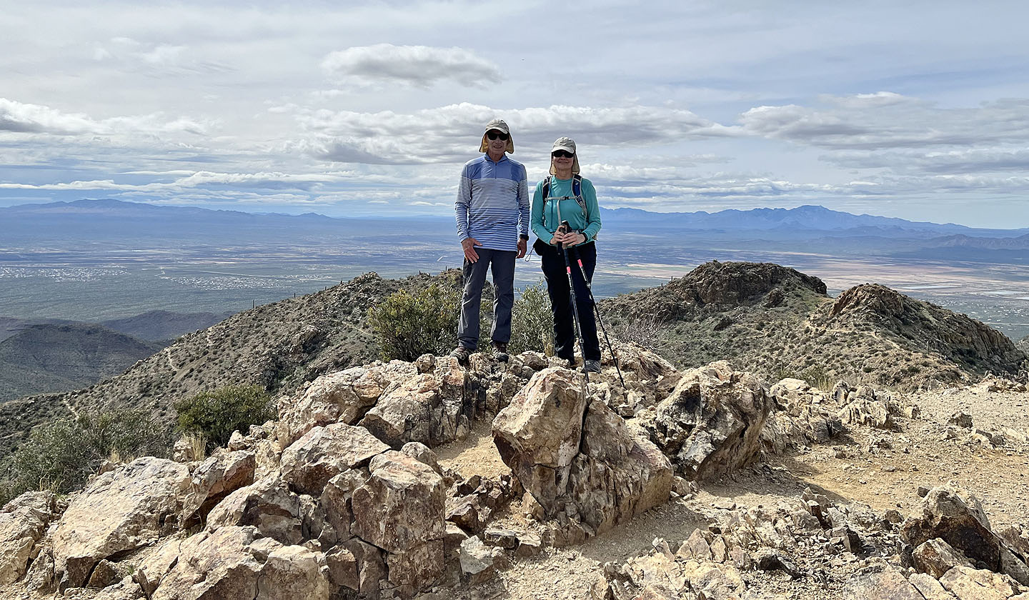 On the summit
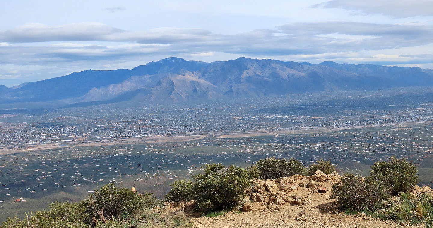 Mount Lemmon is the highest point in the Santa Catalina Mountains
 In the foreground are Safford Peak (left) and Picture Rocks (right, mouse over for a close-up)
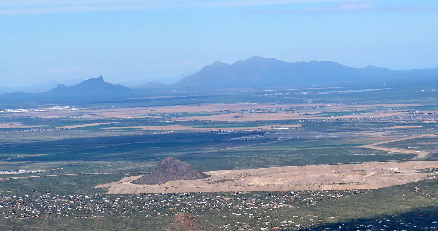 Picacho Peak and Newman Peak lie far north
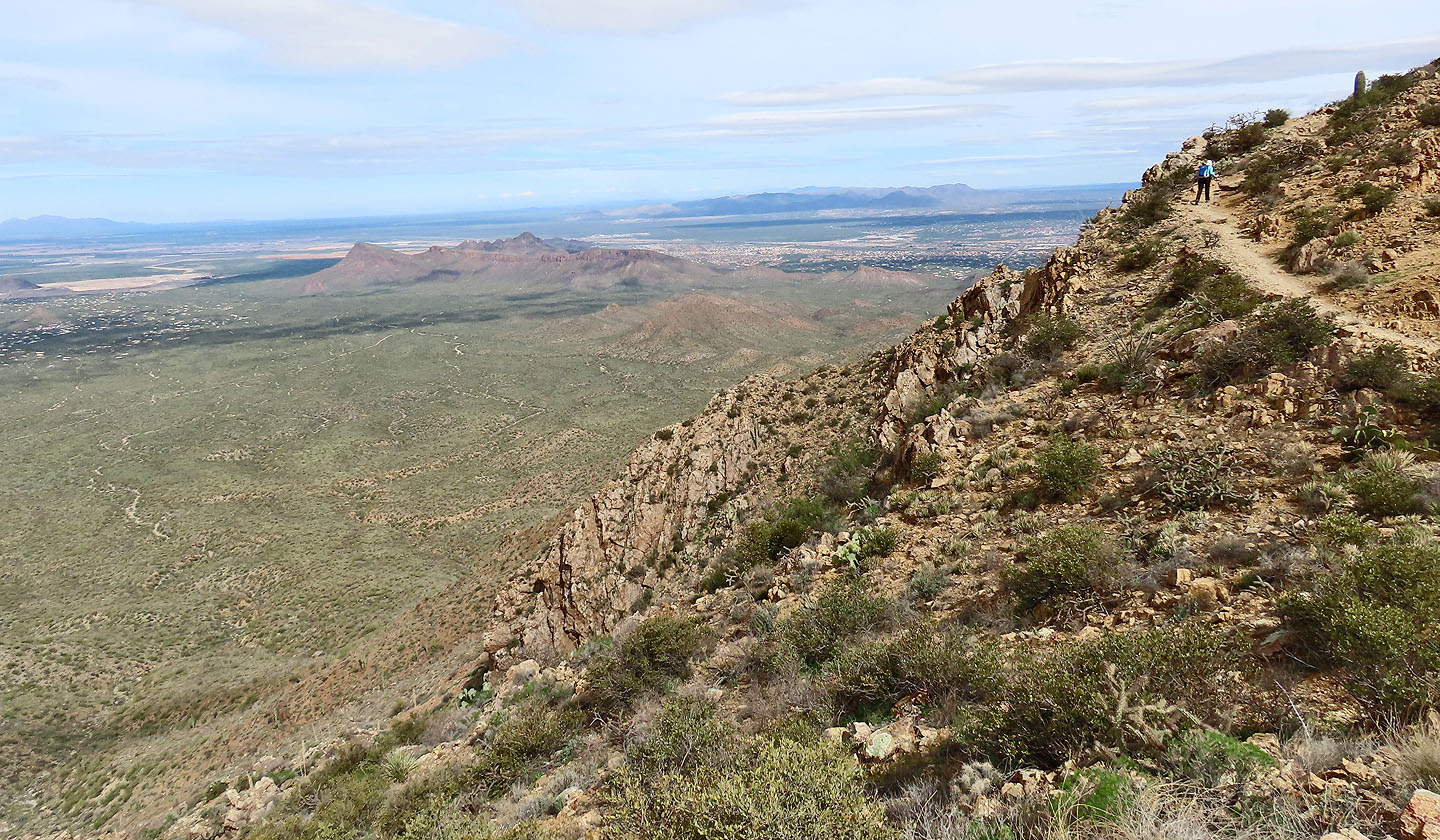
 Looking down at our descent trail. Note the switchbacks left.
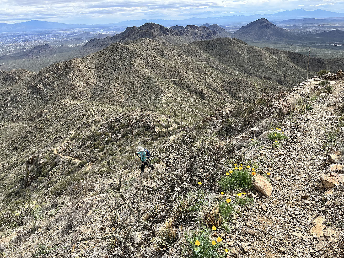
 Looking back at the summit as we head to King Canyon Trail.
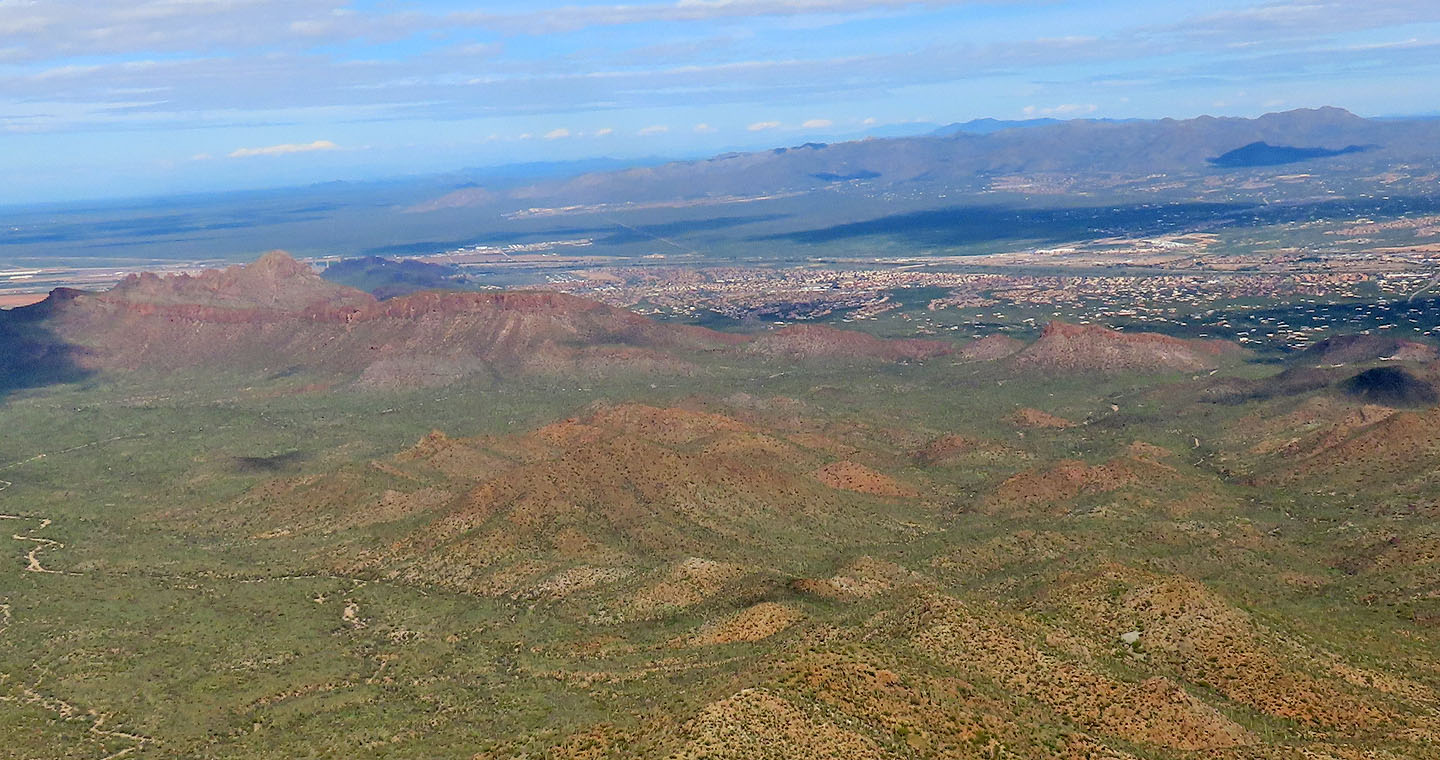
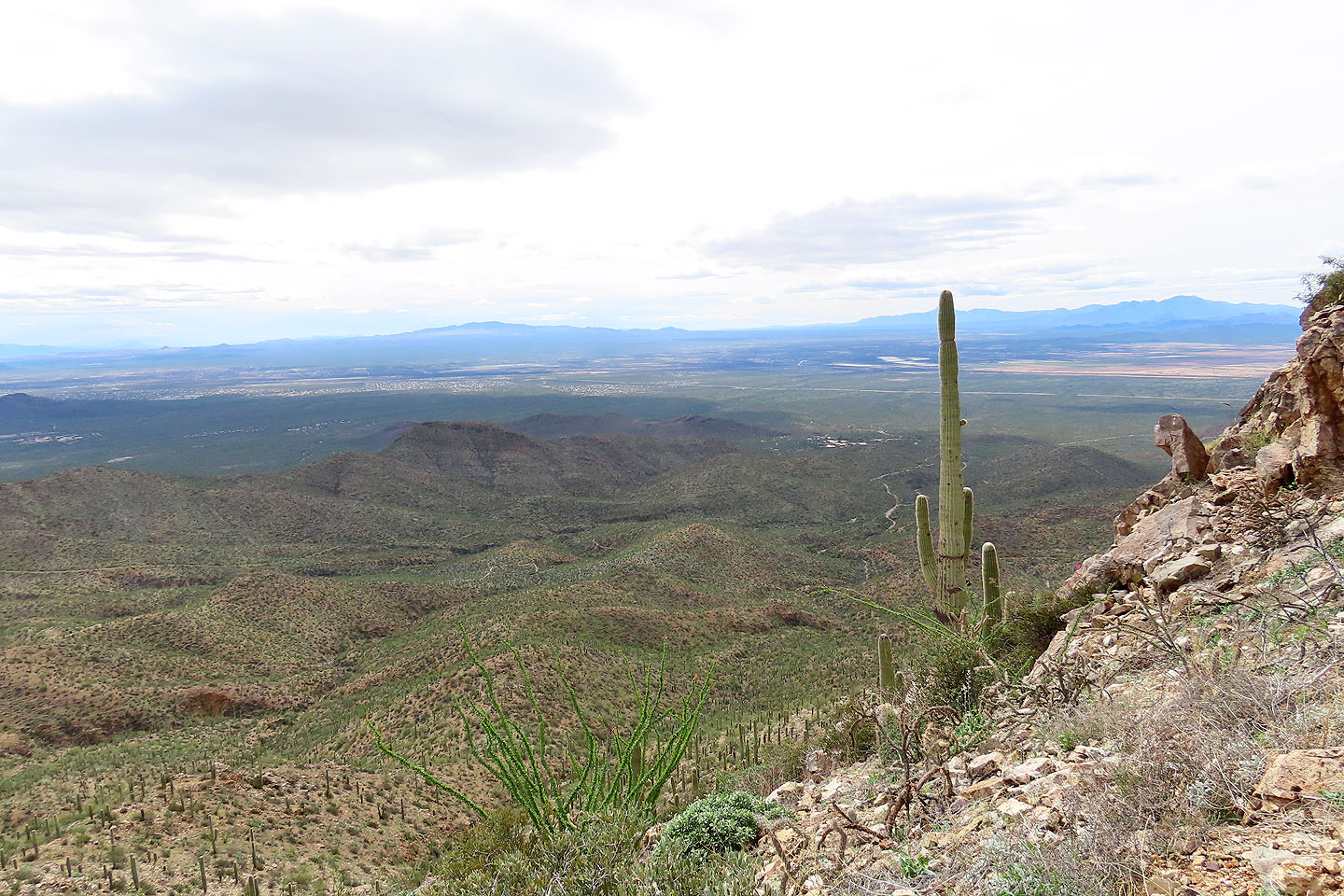 King Canyon Wash appears far below, left of the saguaro. Brown Mountain in the centre (mouse over).
 Going down one of the switchbacks
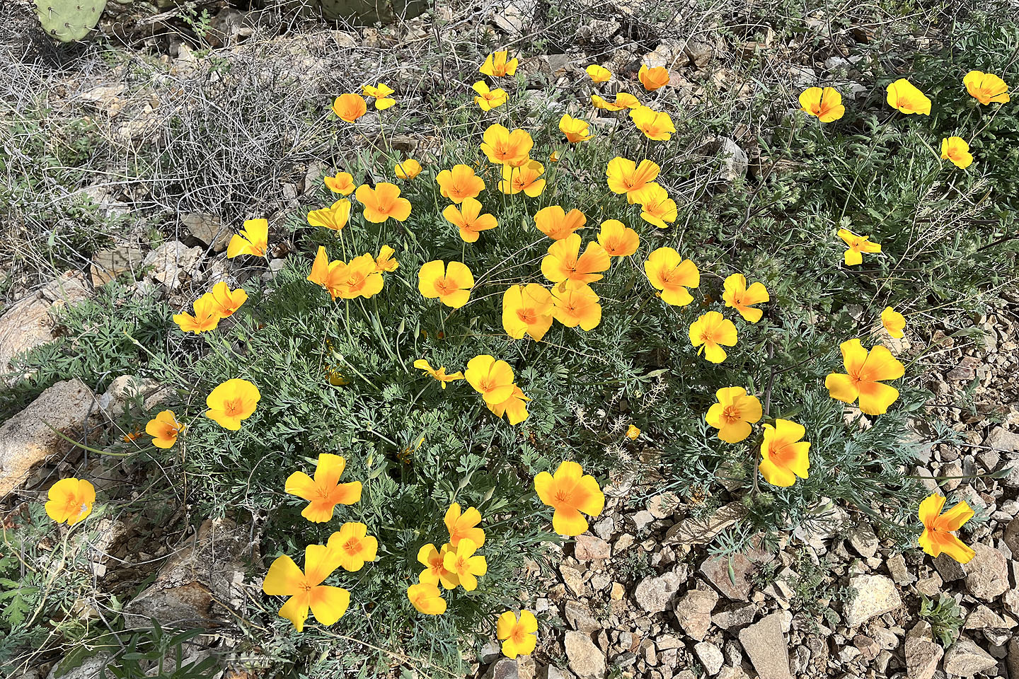 Poppies lined the trail (mouse over for a close-up)
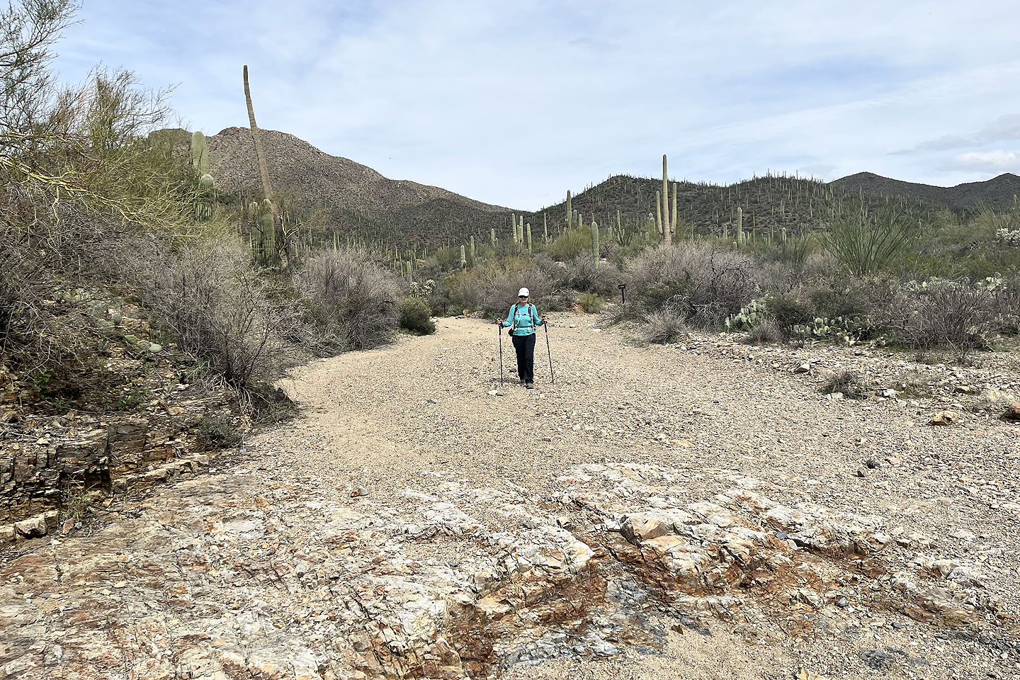
 Going down King Canyon Wash
 Looking back
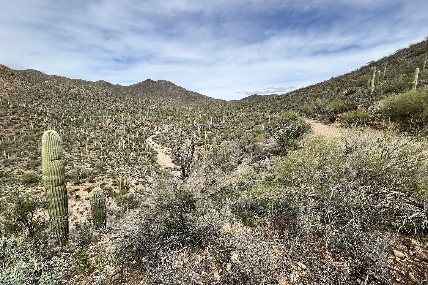 At the fork, we took the trail instead of the wash. Wasson Peak in the background.
 Avra and Brown Mountain (8.3 mi,4685 ft, 1801 ft)