bobspirko.ca | Home | Canada Trips | US Trips | Hiking | Snowshoeing | MAP | About
Brown Mountain
Tucson Mountain Park, Arizona
February 26, 2024
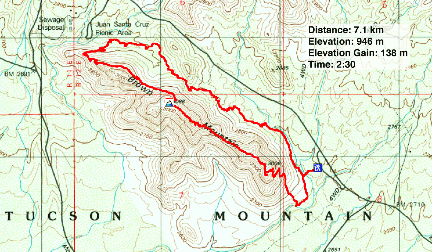
Distance: 7.1 km (4.4 mi)
Cumulative Elevation Gain: 216 m (709 ft)
Looking for a short hike, Dinah and I chose Brown Mountain. The long, low ridge wouldn't take long, even with taking the loop trail. It follows the bottom of the east slopes before turning and running back along the ridge.
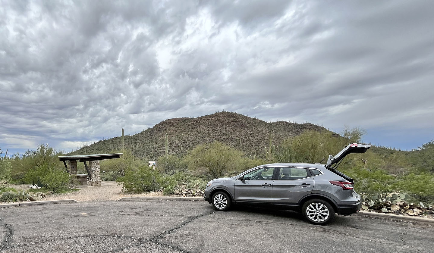
From a small parking lot, we walked a short distance up the trail before turning right at a fork. We followed the trail north as it meanders through cacti below the ridge. Near the north end of the ridge, the trail turns and finally begins climbing. It briefly touches the ridge before turning south to cut into the slope. Sticking mid-slope on the ridge, the trail takes in a couple of dips before settling on the ridge crest.
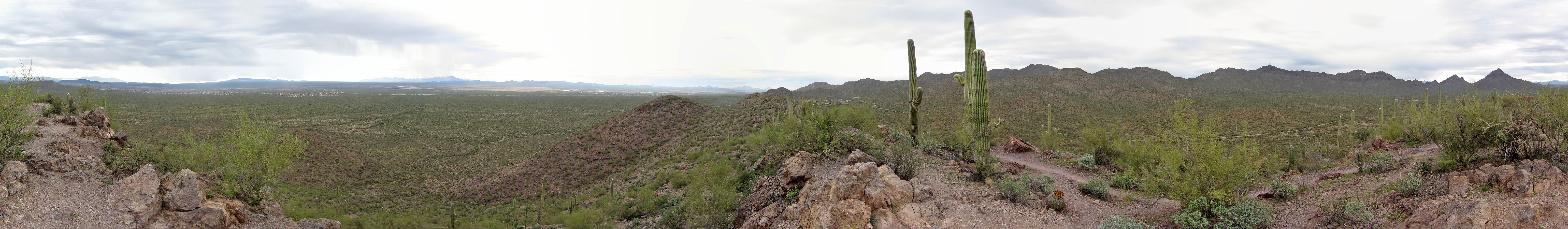
There were few hikers on the trail, so we mostly hiked in solitude. Disturbing, though, was the sound of gunshots from a nearby firing range. We hiked the crest trail to the summit. From there, we could see Wasson Peak, Bren and Goldengate Mountain, but most peaks were too far away to discern. After the summit, we continued down the trail to the south end. The trail then drops down and takes a wide turn before returning to the fork we had reached earlier.
Brown Ridge is too low to offer spectacular views, but we enjoyed the easy ridgewalk, and it suited the cloudy day we had; we would save higher peaks for sunny days.
 Brown Mountain seen from the trailhead
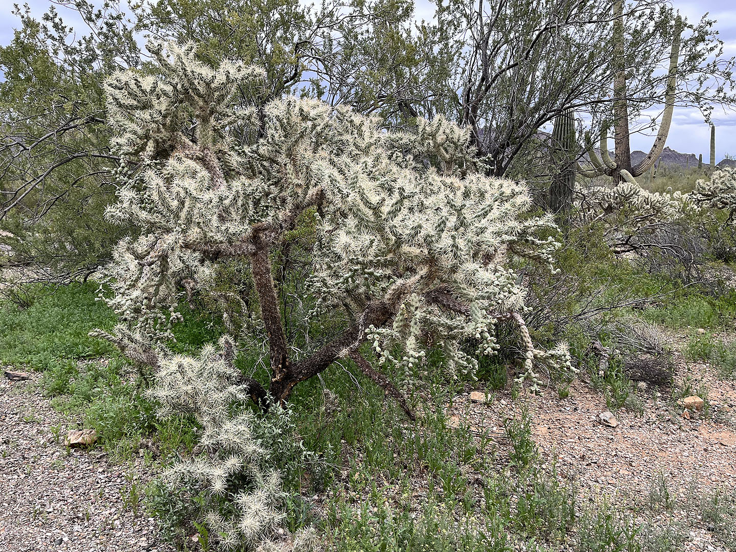 Jumping cholla at the trailhead (mouse over for a close-up)
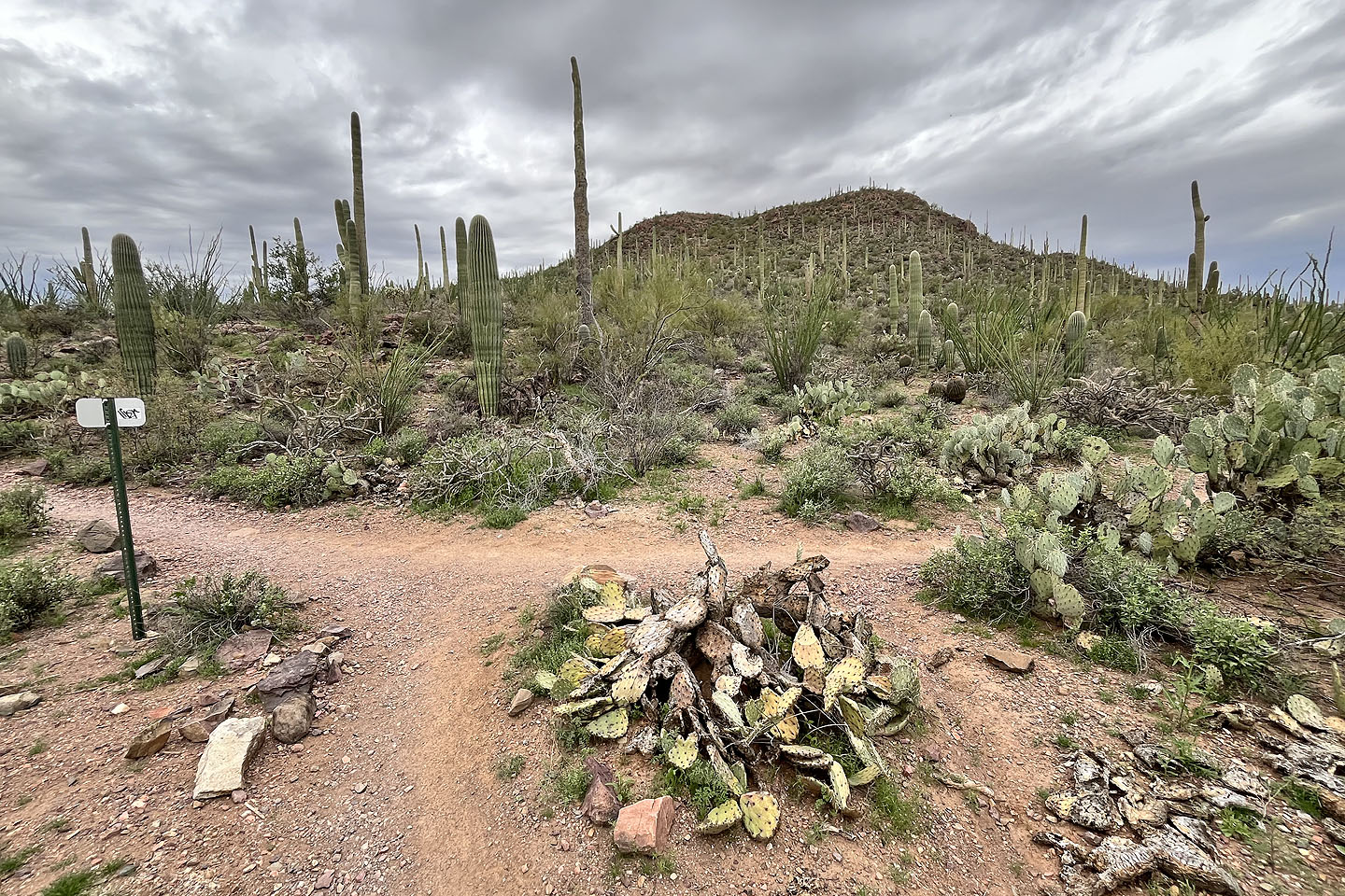 A few minutes after starting, we turned right at a fork
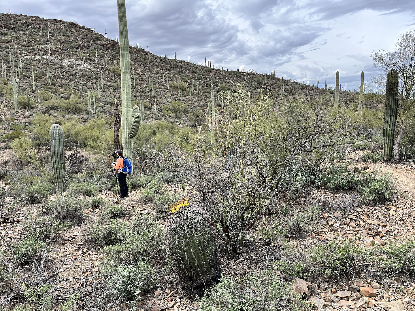
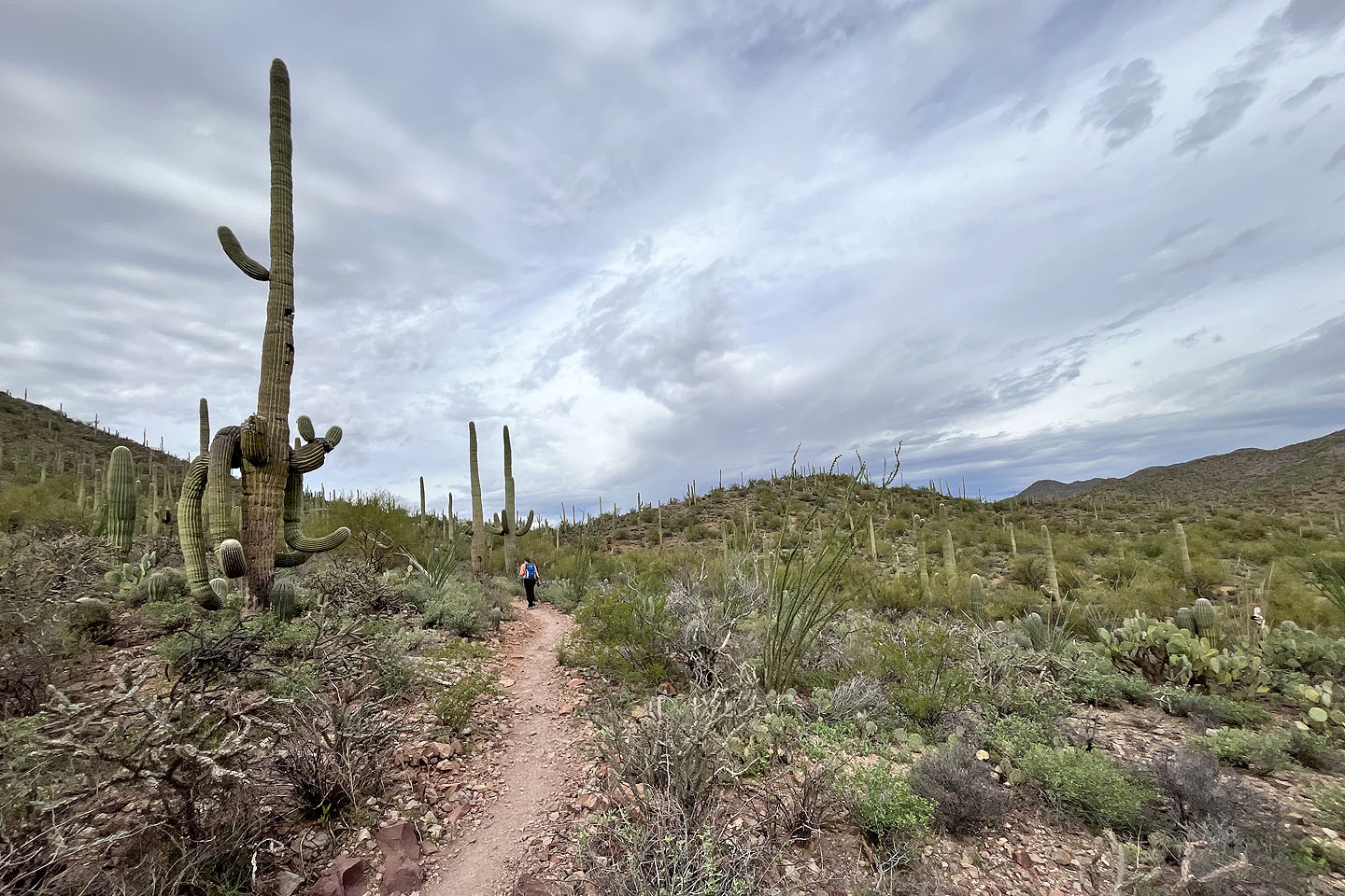 Hiking along the bottom trail
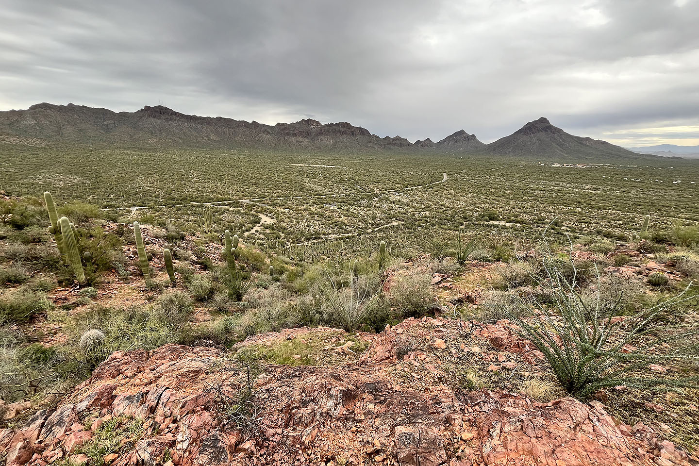
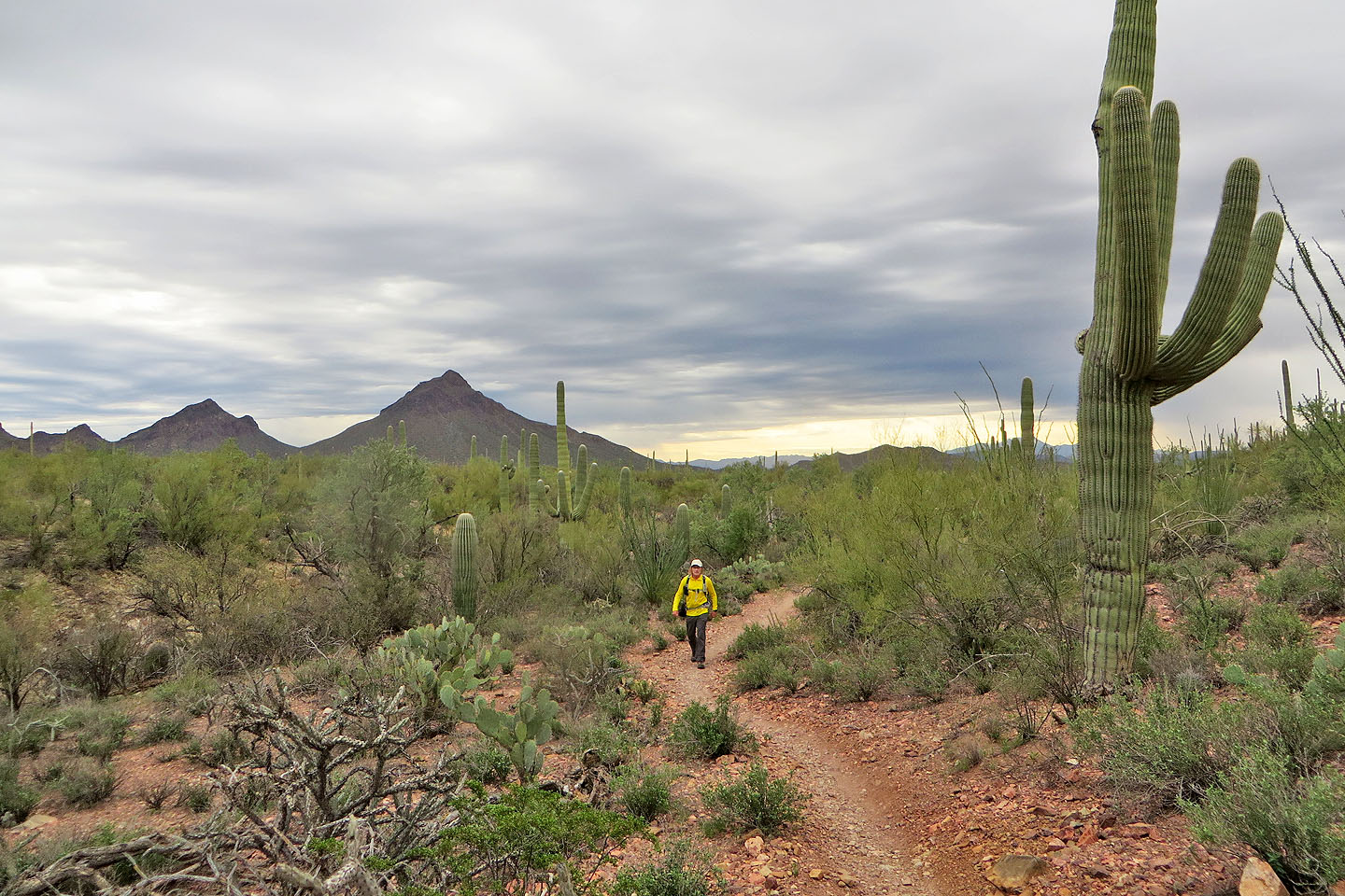 Lying south are Bren and Golden Gate Mountain
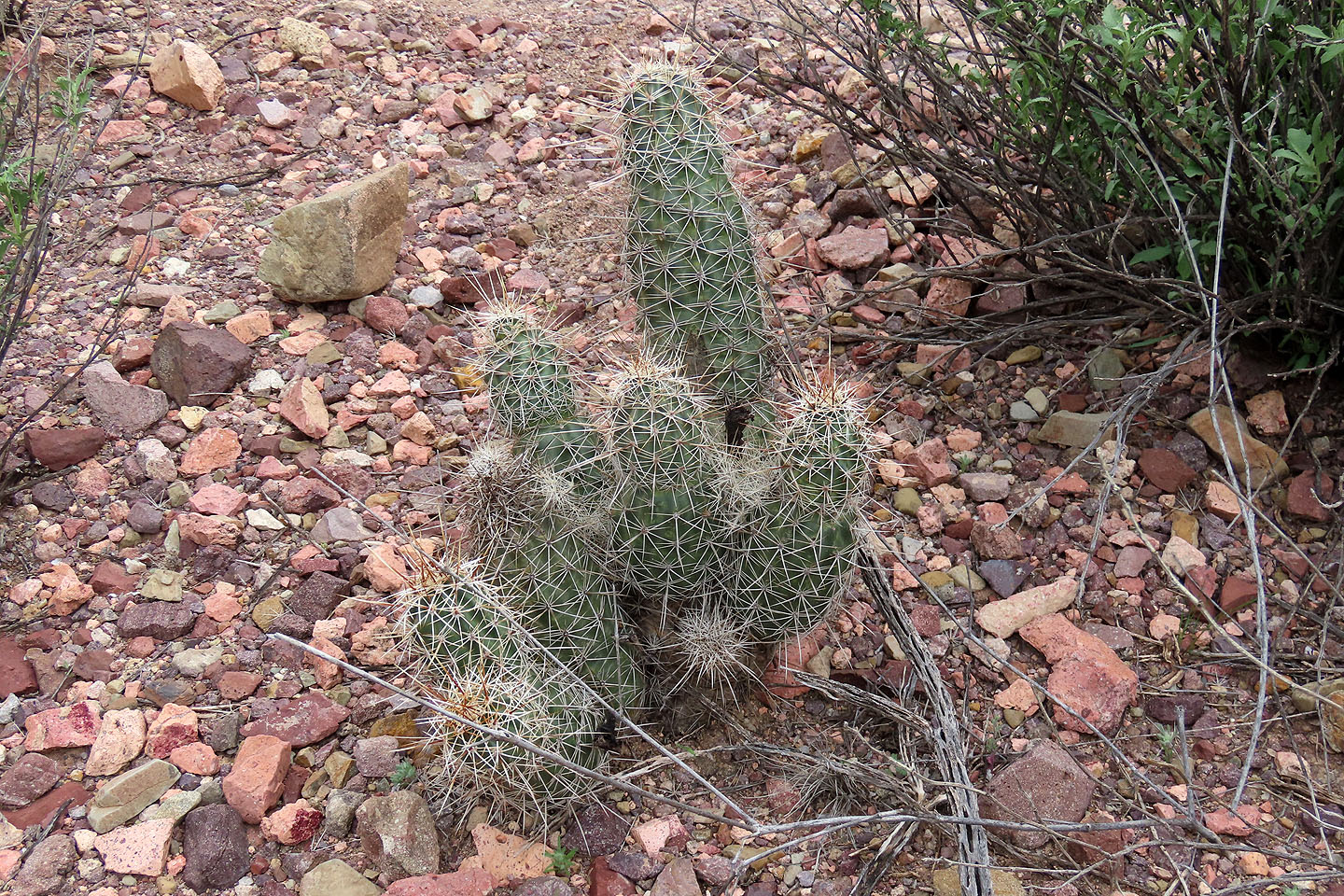 Hedgehog cactus
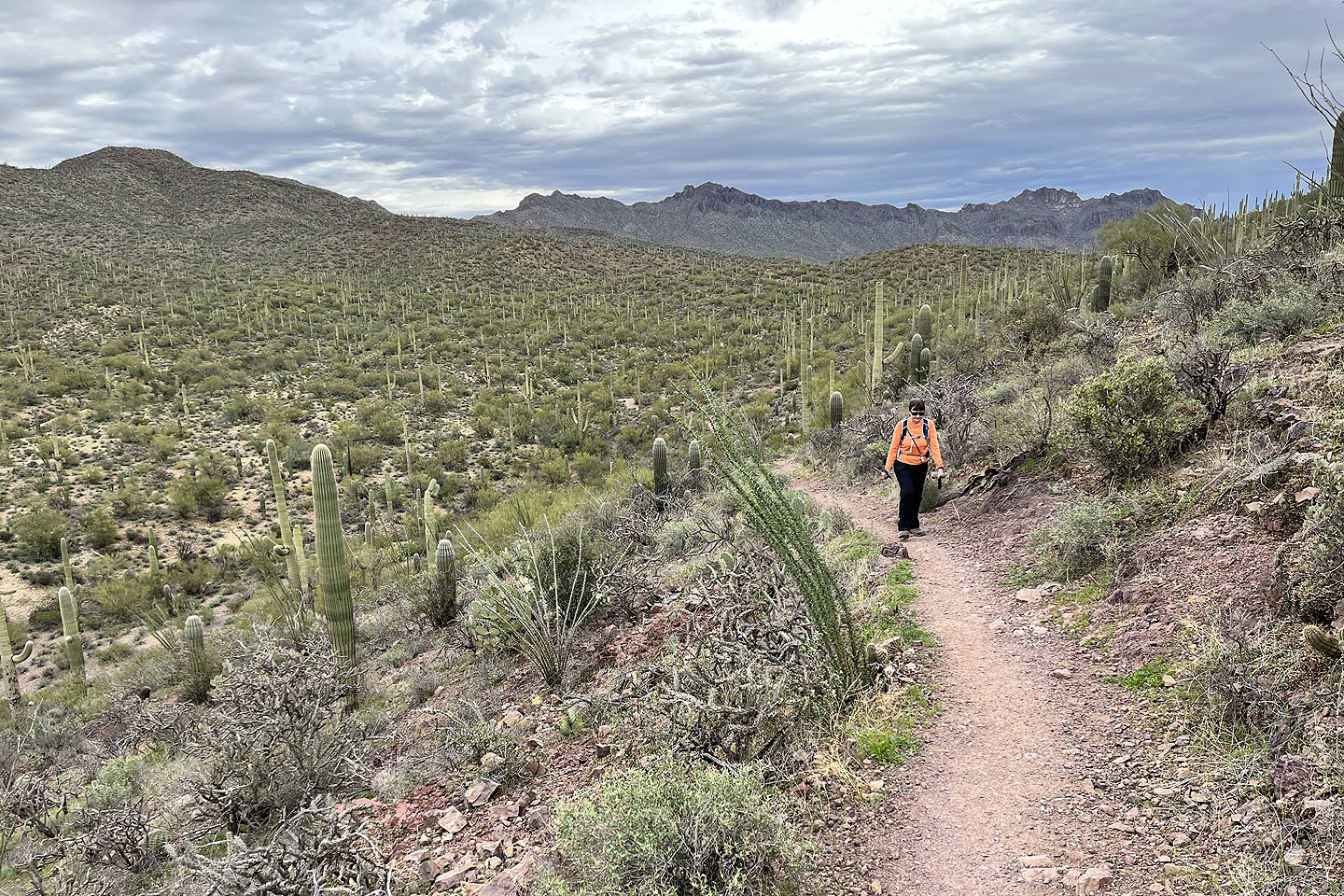
 The trail runs to the hill on the left, the beginning of the ridge
 The trail can be seen climbing the slope ahead on the right
 Looking back as we started going up
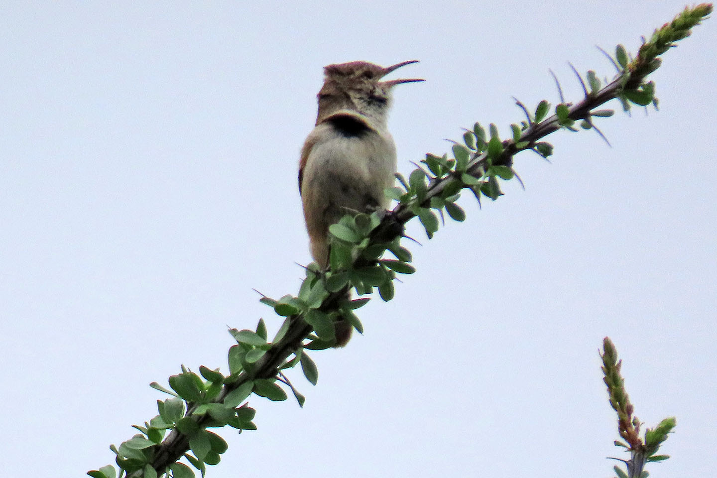
A Cactus Wren sits on an ocotillo branch
 Below is the Arizona Sonora Desert Museum. On the right is Wasson Peak which we climbed the following day.
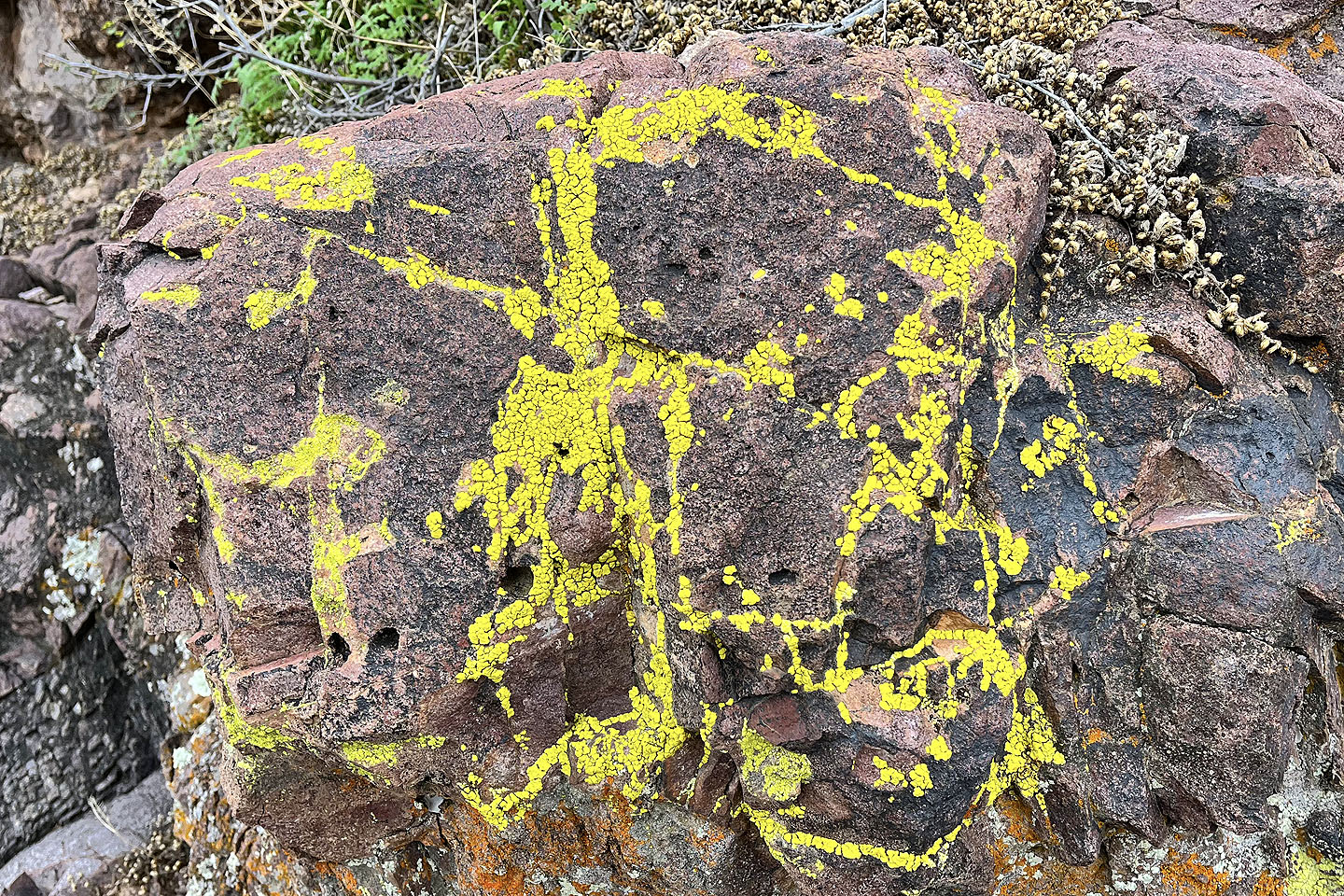 Lichen creates abstract art on a rock
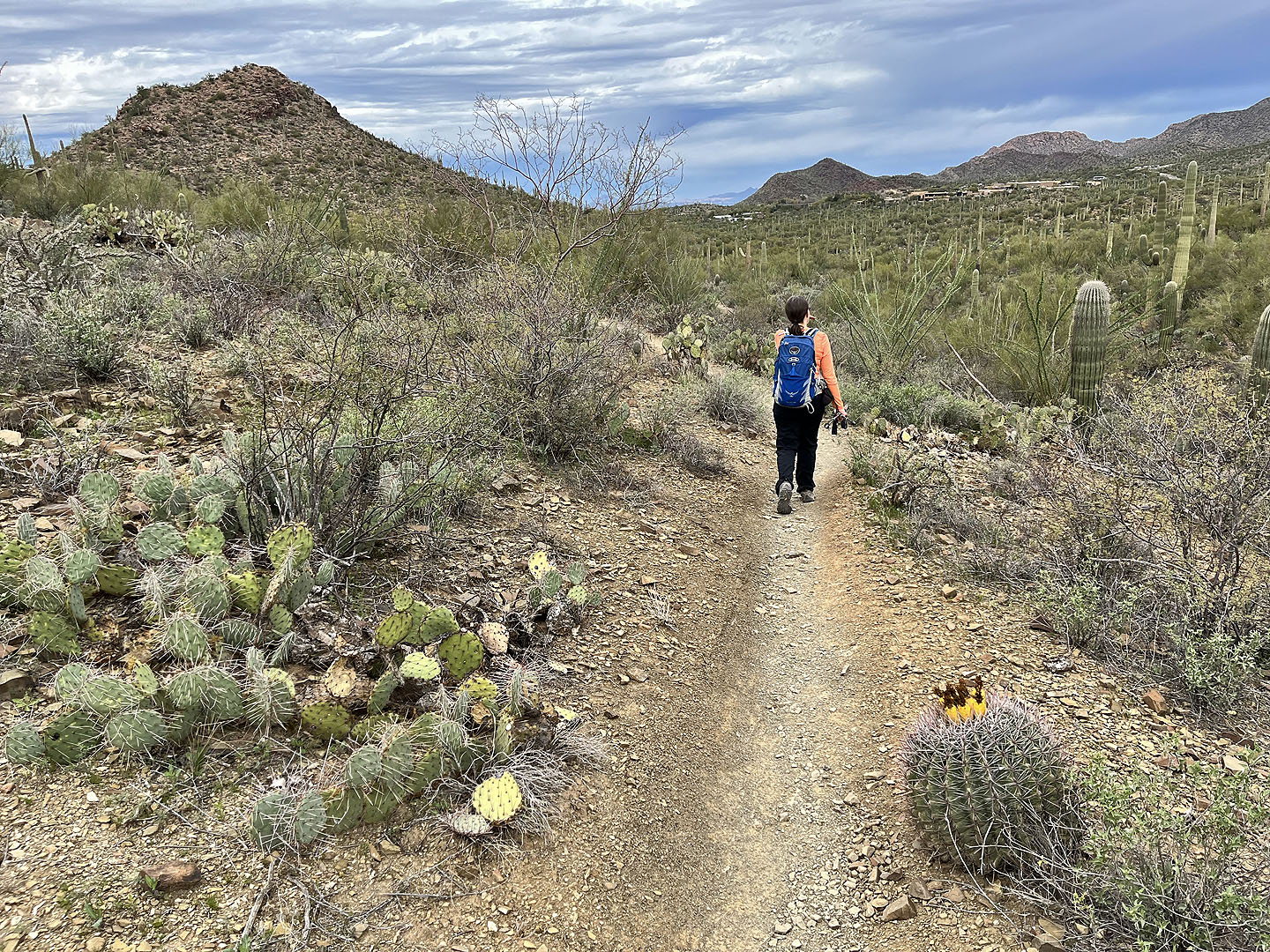
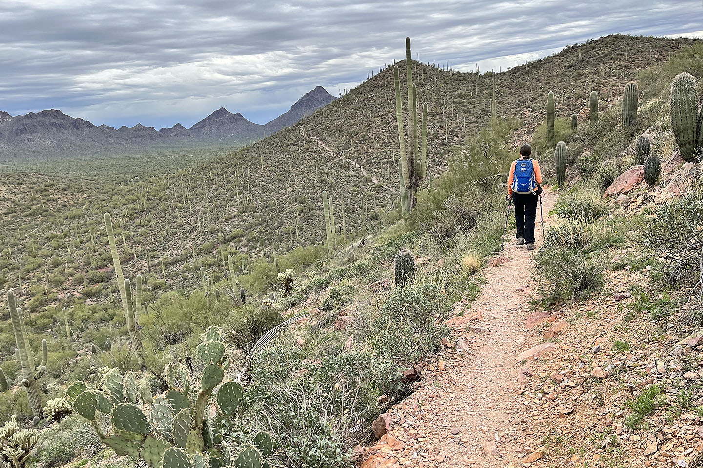 The trail stays low, cutting into the slope
 Looking back at the trail where it crosses the hill
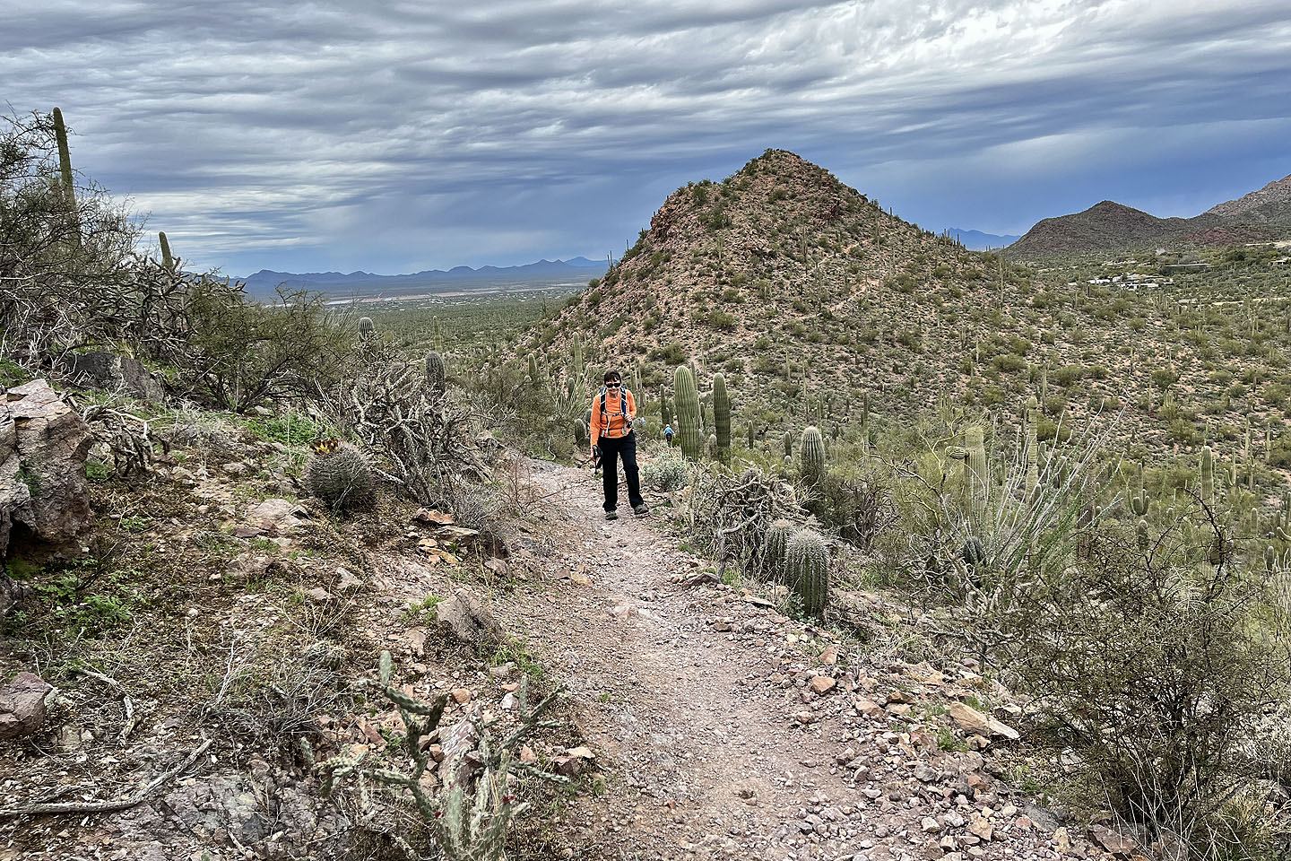
 Looking back at another hill on the ridge
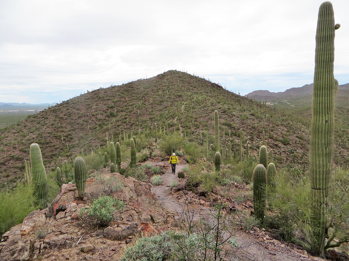
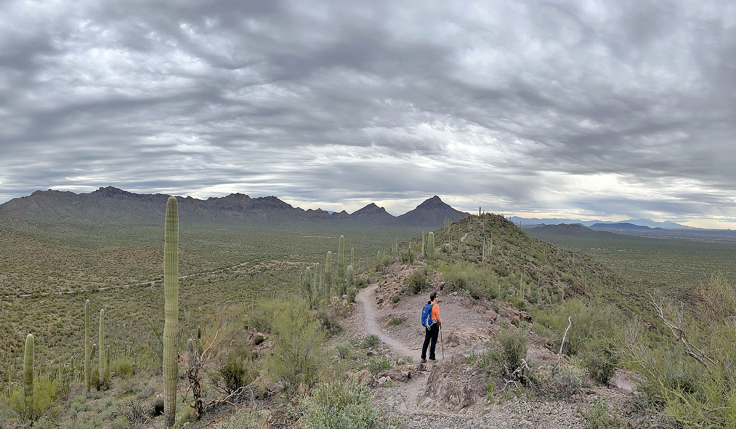 The summit lies ahead
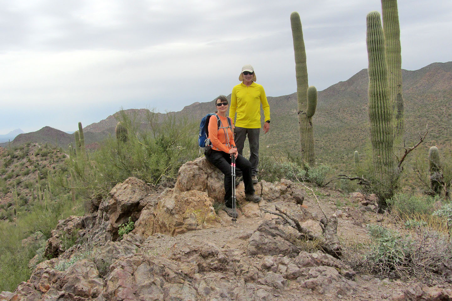 On the summit
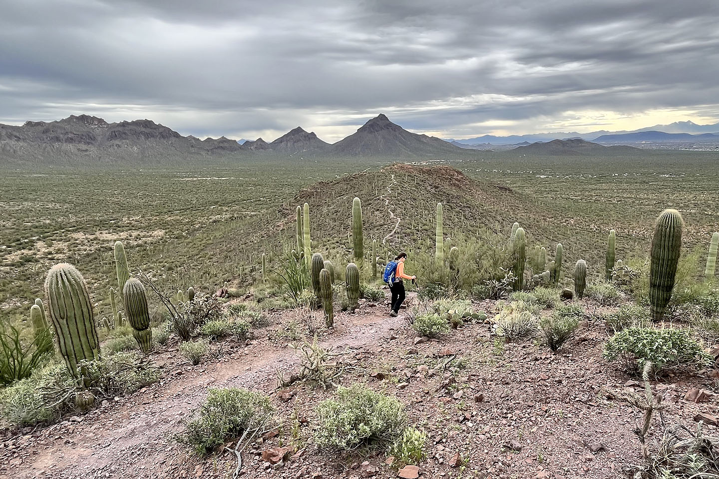 We followed the trail to the south end of the ridge. Bren and Golden Gate Mountain appear ahead.
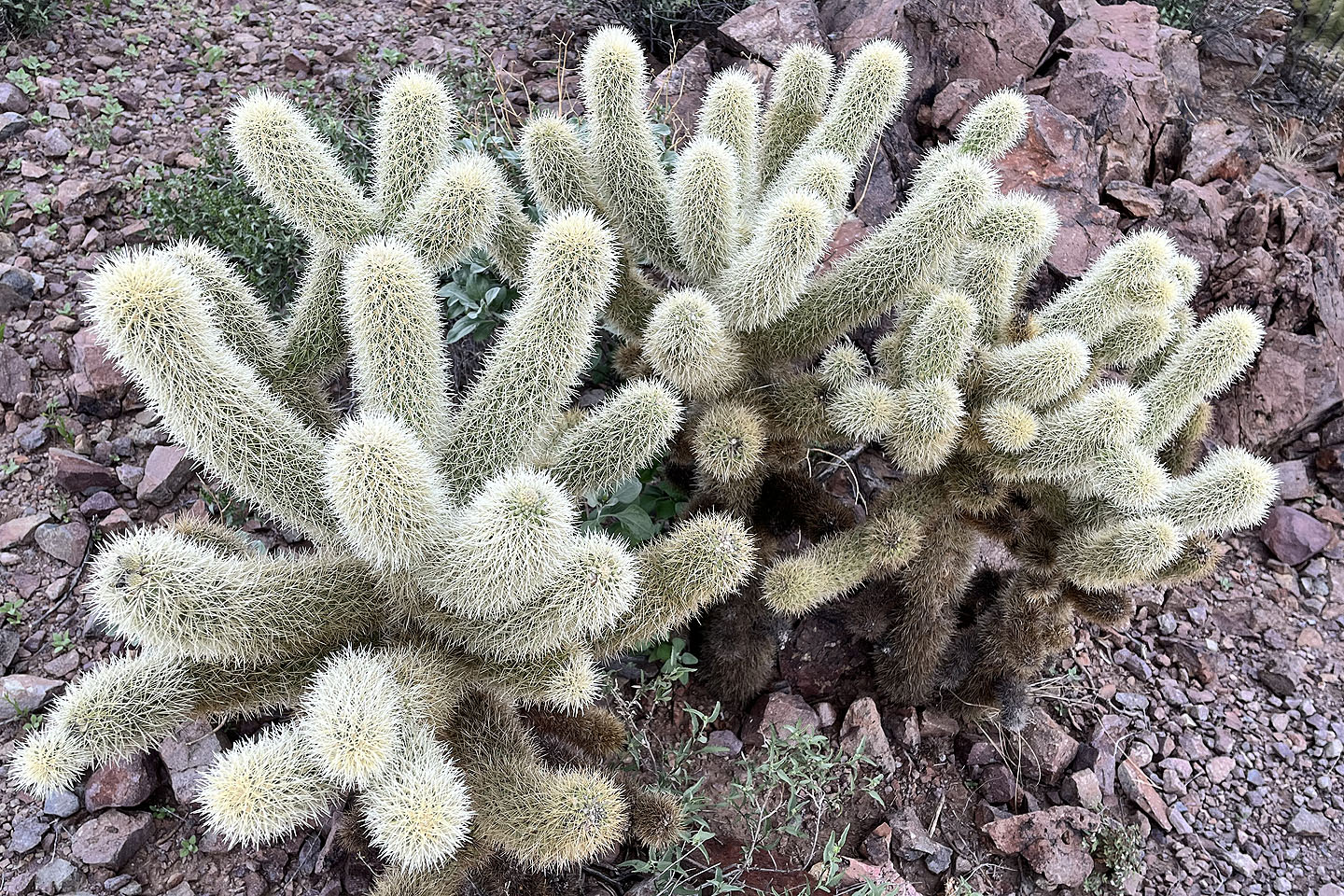 Teddy bear cholla
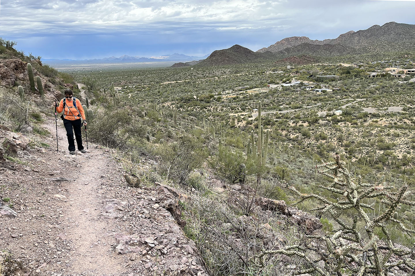
 Looking down at the parking lot in the centre
 Brown Mountain (4.4 mi, 3104 ft, 430 ft)