bobspirko.ca | Home | Canada Trips | US Trips | Hiking | Snowshoeing | MAP | About
Saddleback
Sabino Canyon Recreation Area, Arizona
February 23, 2024
Distance: 9.8 km (6.1 mi)
Cumulative Elevation Gain: 542 m (1778 ft)
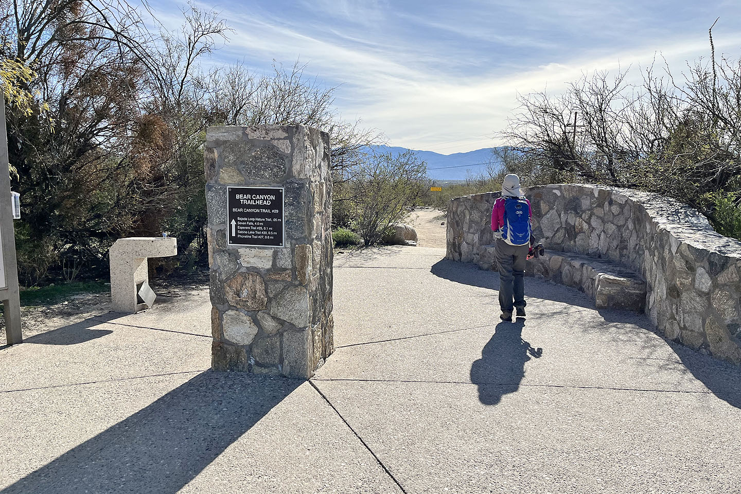
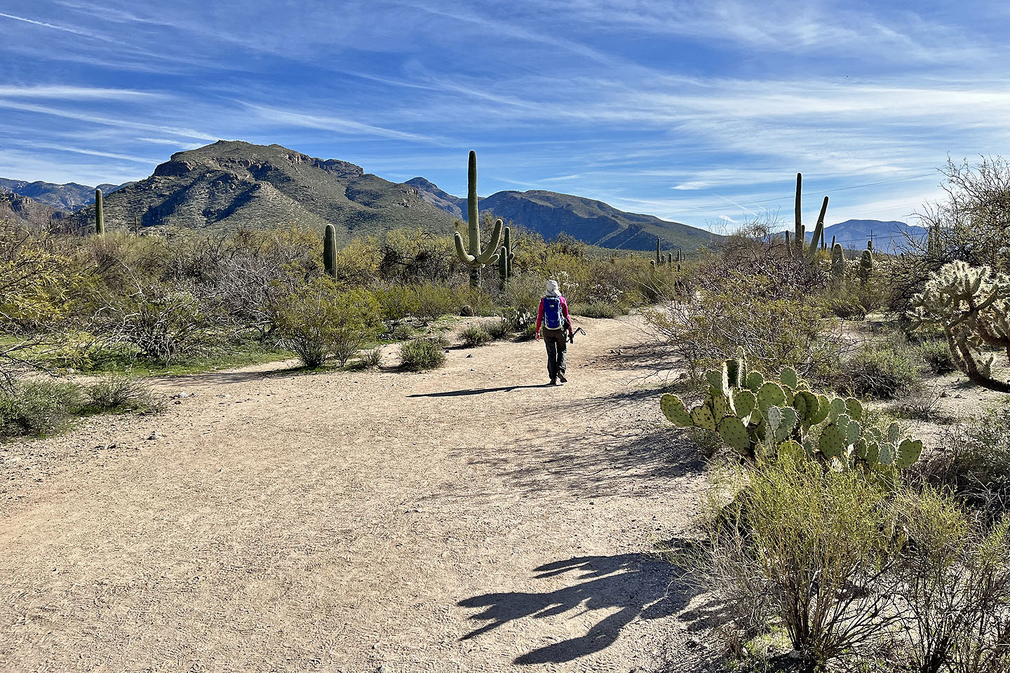
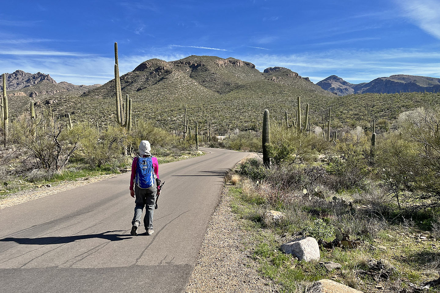
We began our hike up Saddleback in a huge parking lot packed with cars. After purchasing a park pass at the Sabino Canyon Visitor Center, Dinah and I made our way to the trailhead at the east end of the parking lot. We started down a broad dirt path, but it soon surrendered to a paved road. Saddleback loomed ahead of us, presenting an imposing view. Eventually the pavement ended, and we gratefully stepped onto a dirt path. We began climbing Blackett's Ridge, the west ridge of Saddleback.
Behind us, the town of Oro Valley spoiled any sense of remoteness, but slowly receded as we climbed. Ahead, we welcomed the desert scene of rocks, green bushes and cacti. Being early in the year, we didn’t see any lizards, but wildflowers had started appearing. We passed friendly people along the way. Some carried small packs like us, but most had tiny packs. A couple of hikers, probably locals knowing what to expect, carried only a bottle of water in their hands.
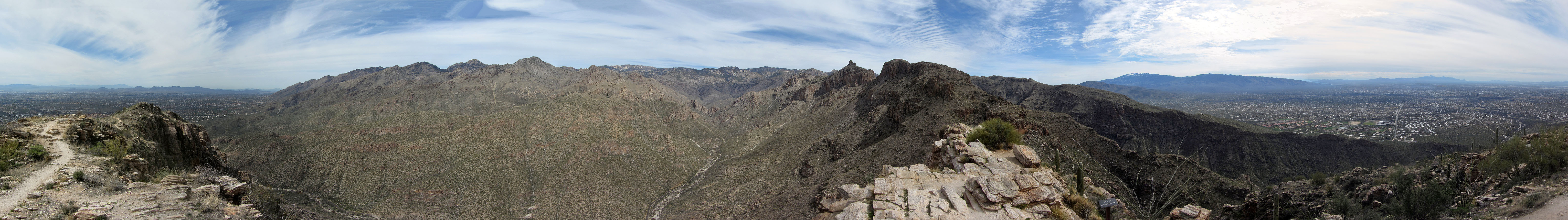
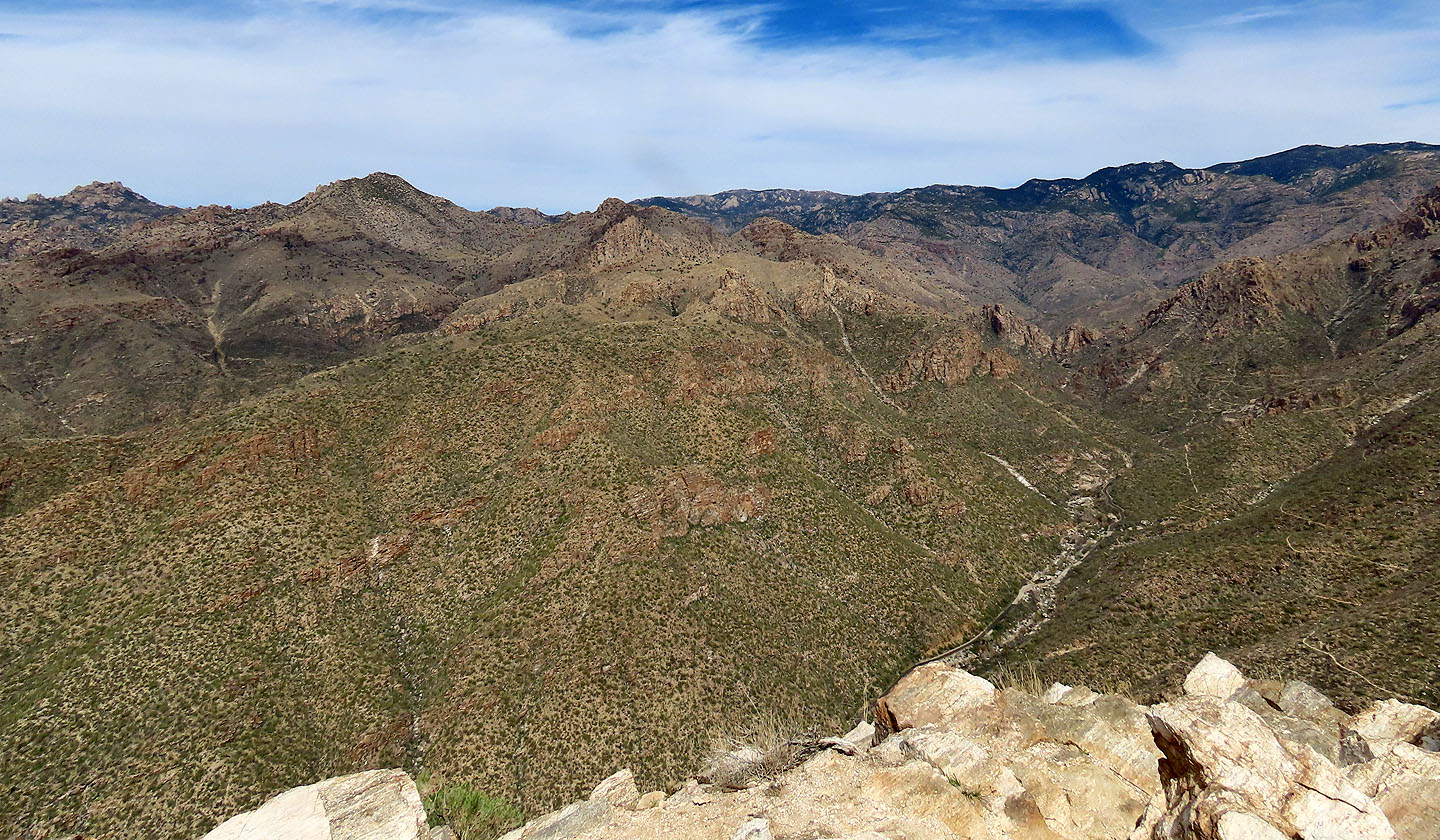
A few hundred metres before the summit, the grade eased, and we walked to the rocky top of Saddleback. In front of us, Thimble Peak's distinctive shape stood out among the other points. To the north, we viewed Mount Lemmon, the highest point in the Santa Catalina Mountains. Northwest, across Oro Valley, the peaks of the Tortolita Mountains were too far to distinguish easily.
After relaxing on top, we headed back, retracing our steps down Blackett's Ridge. Saddleback is a satisfying hike that it's worth doing for the time and effort it takes to claim the rocky summit.
 Starting down the trail
 The hike begins on a dirt path
 Then switches to a paved road. Saddleback lies ahead.
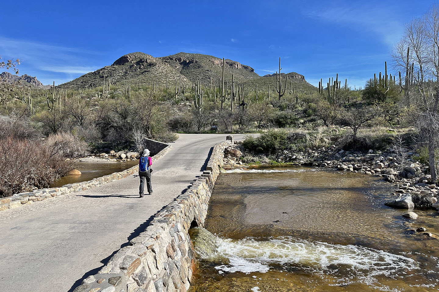 The trail resumes straight ahead
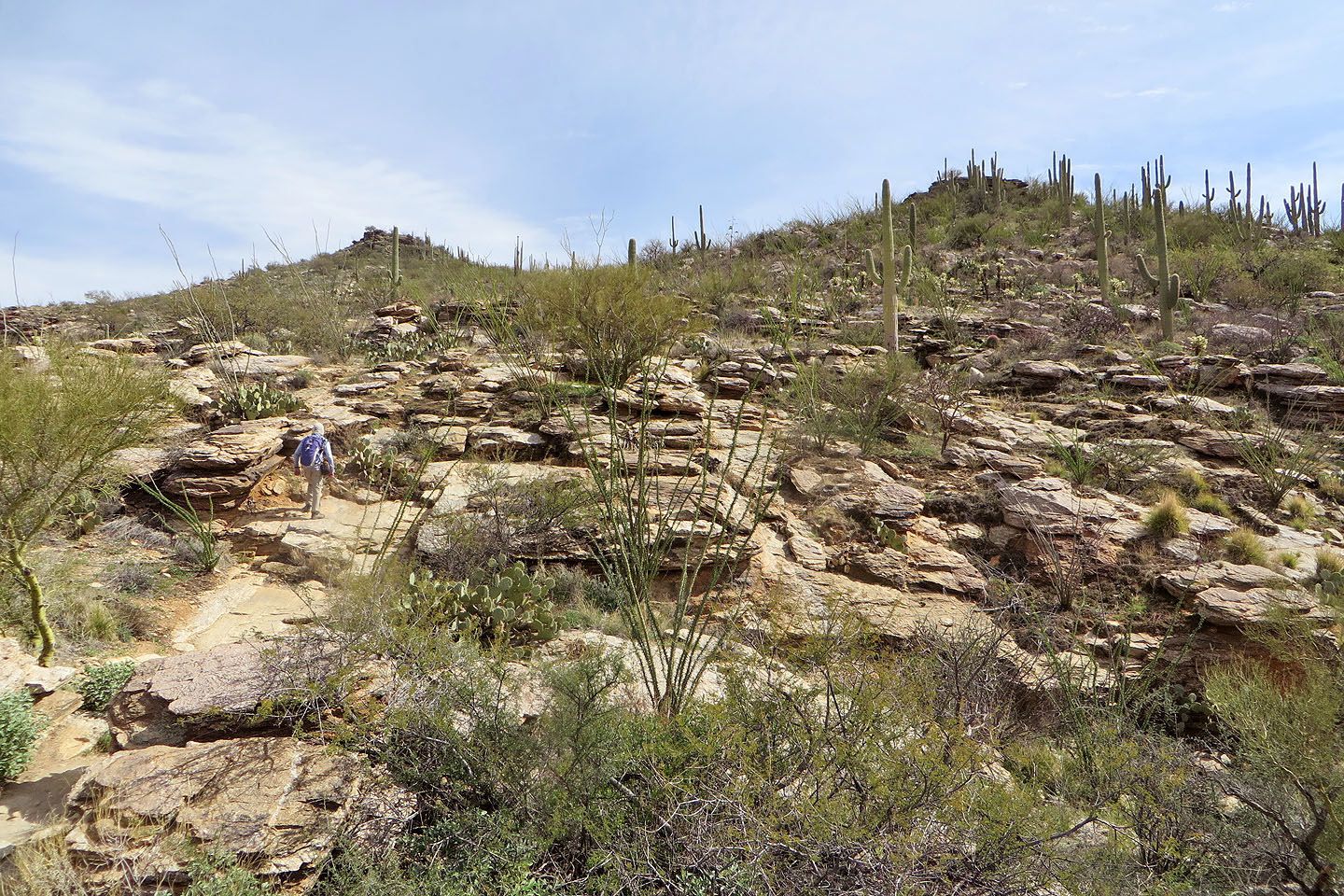
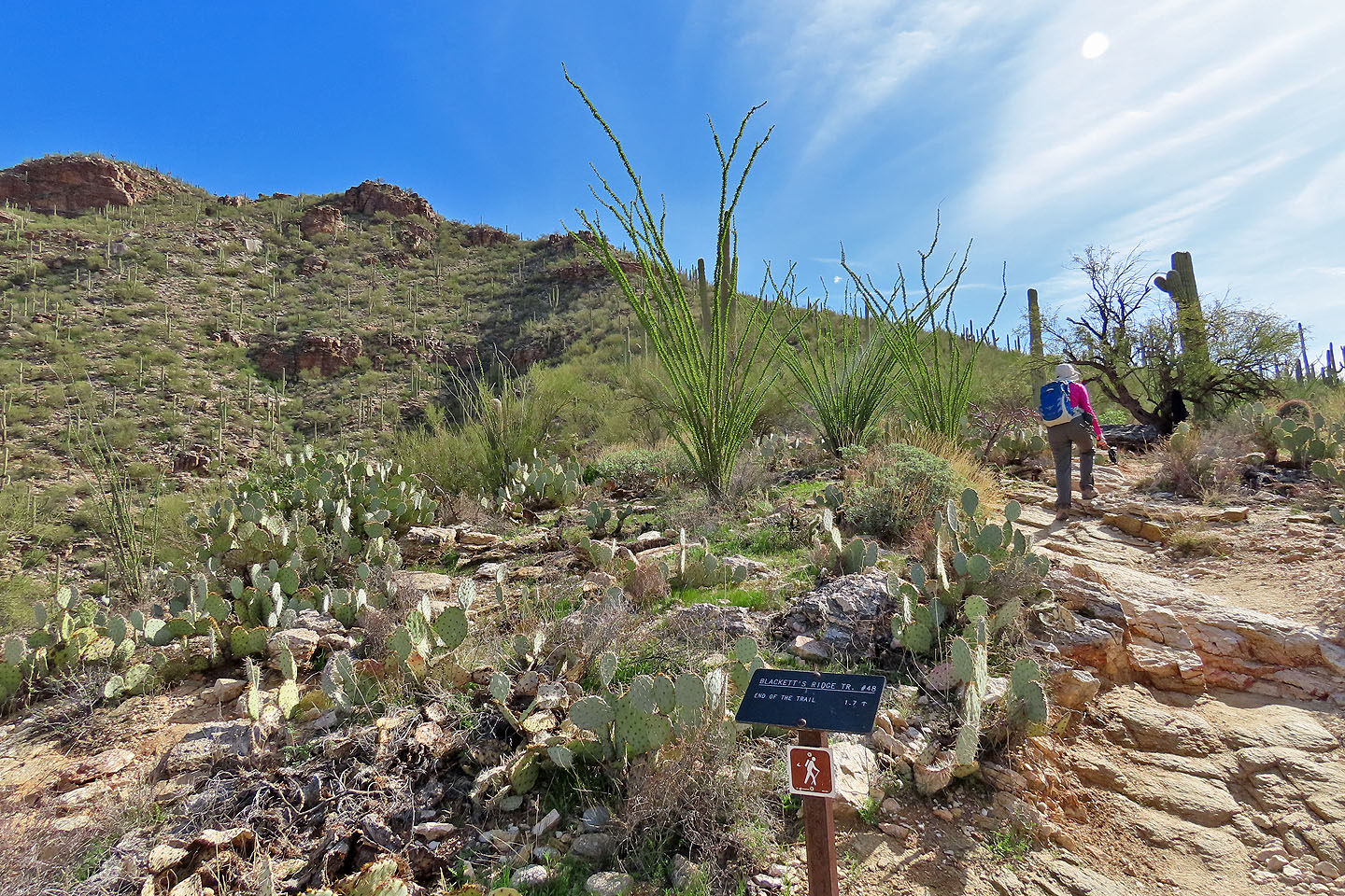 Starting up Blackett's Ridge Trail. The ocotillos in the centre are in full bloom (mouse over).
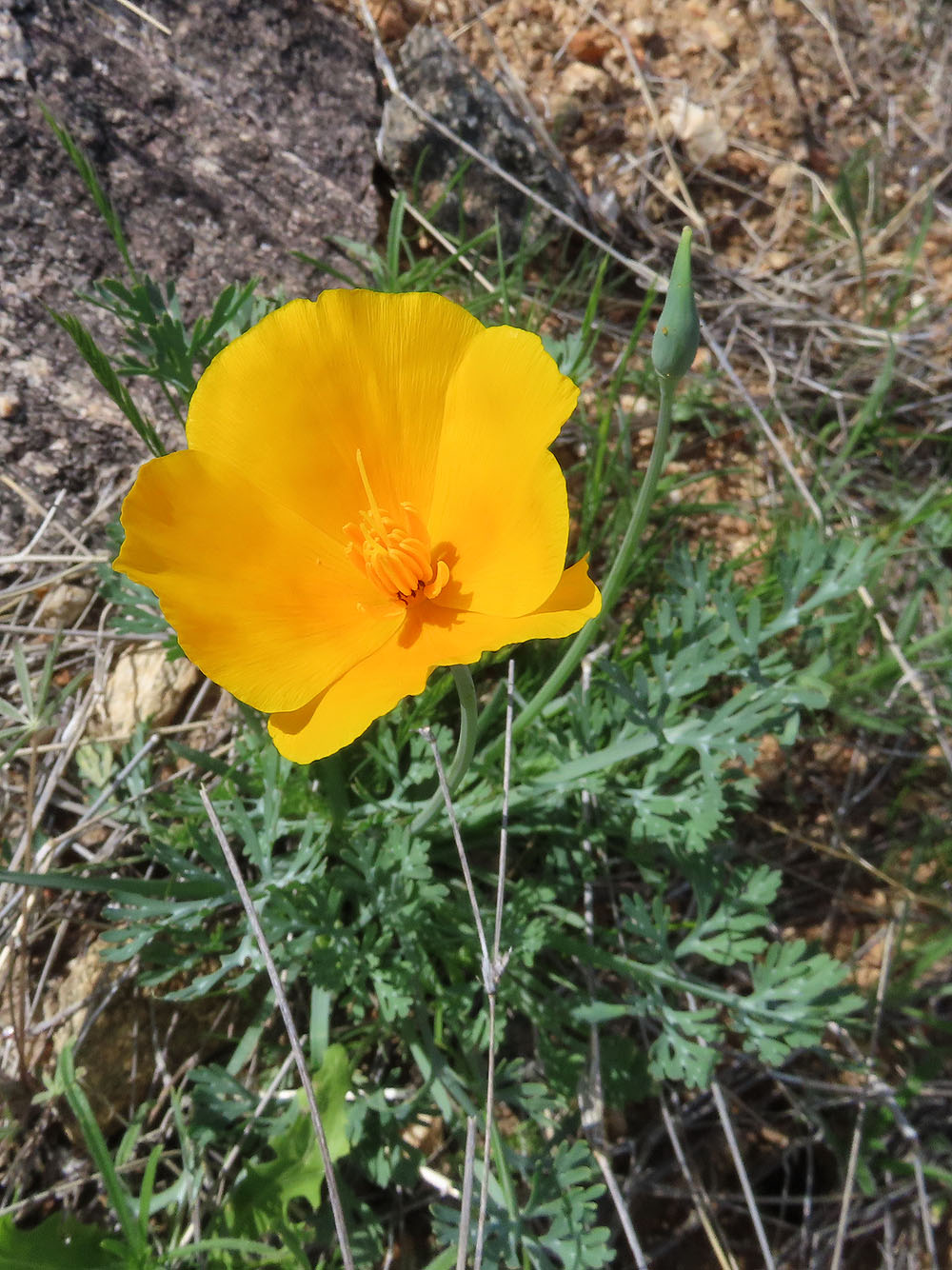
There were a few poppies out
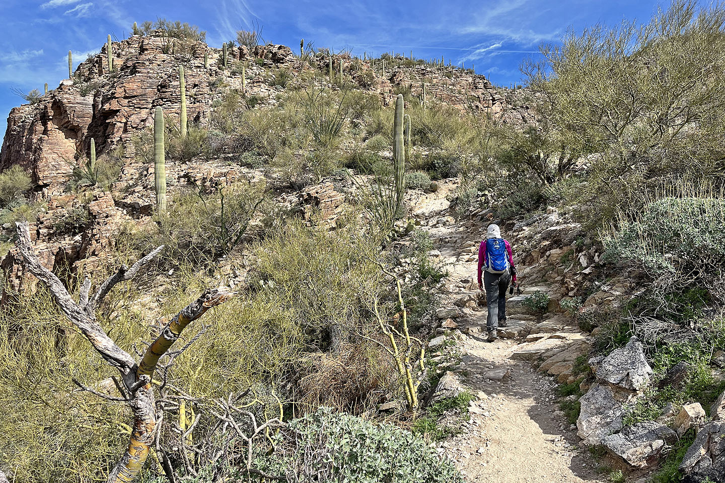 Continuing up the trail
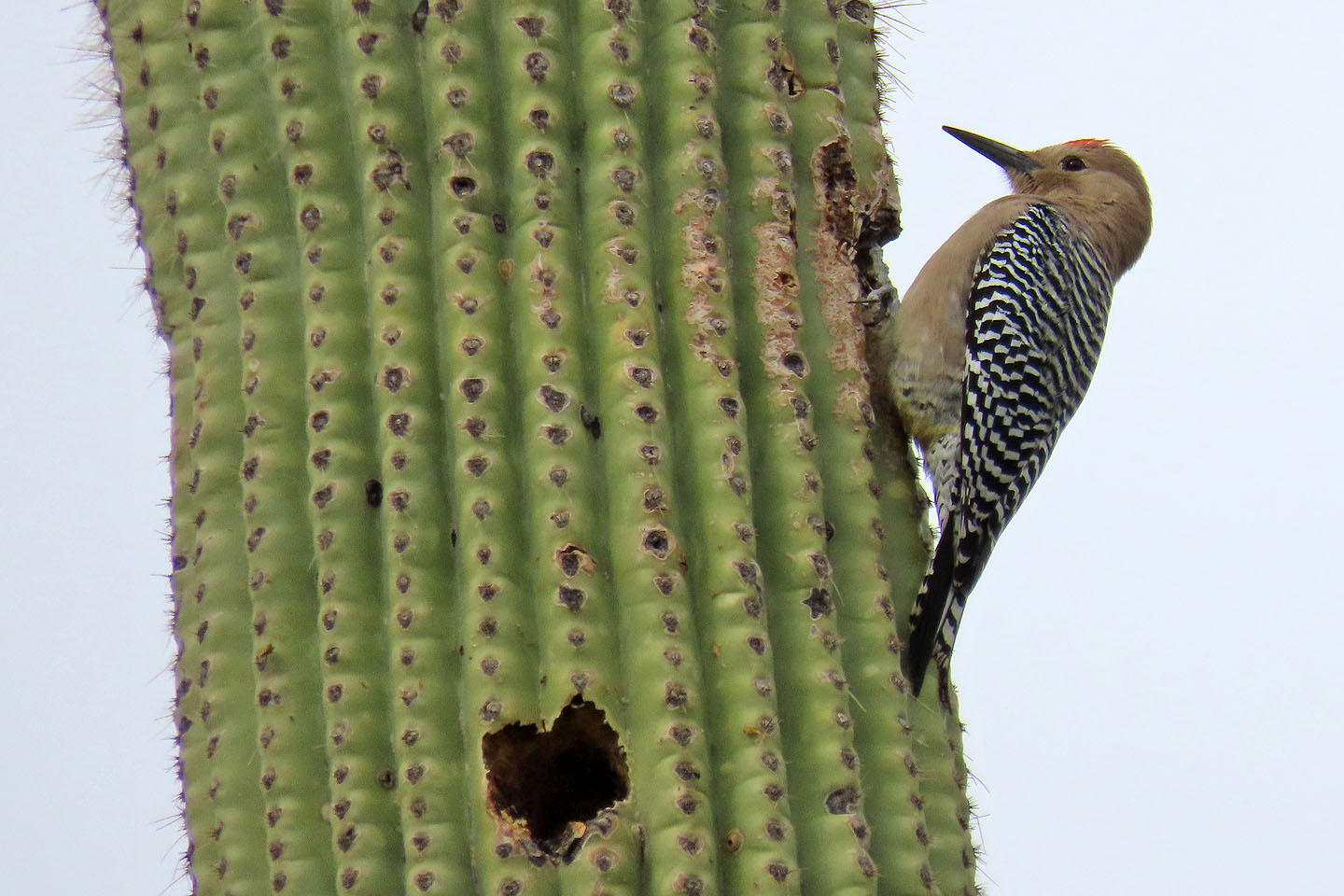 Gila woodpecker on a saguaro
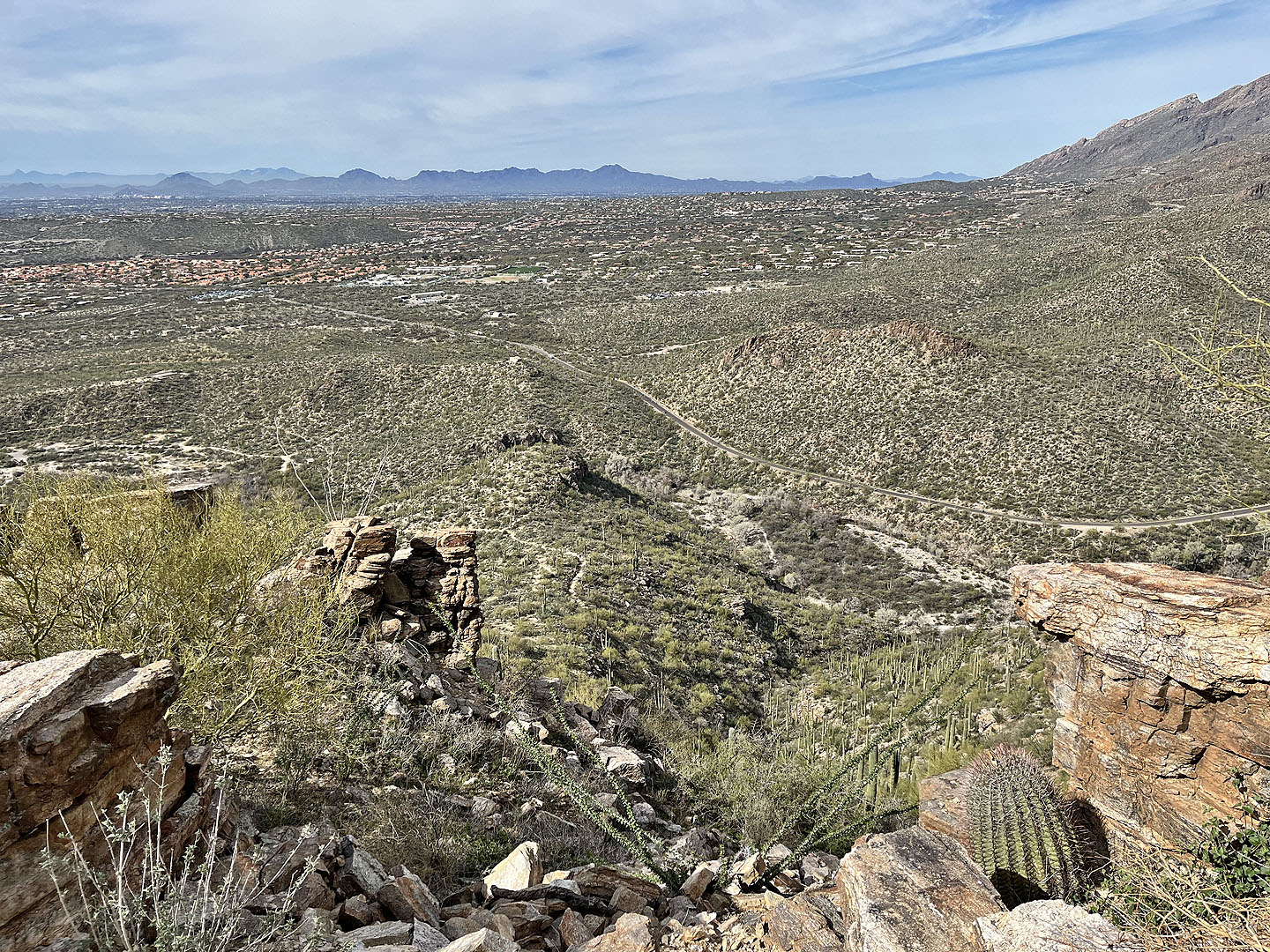 Looking back (west), Wasson Peak seen in the centre (mouse over for a close-up)
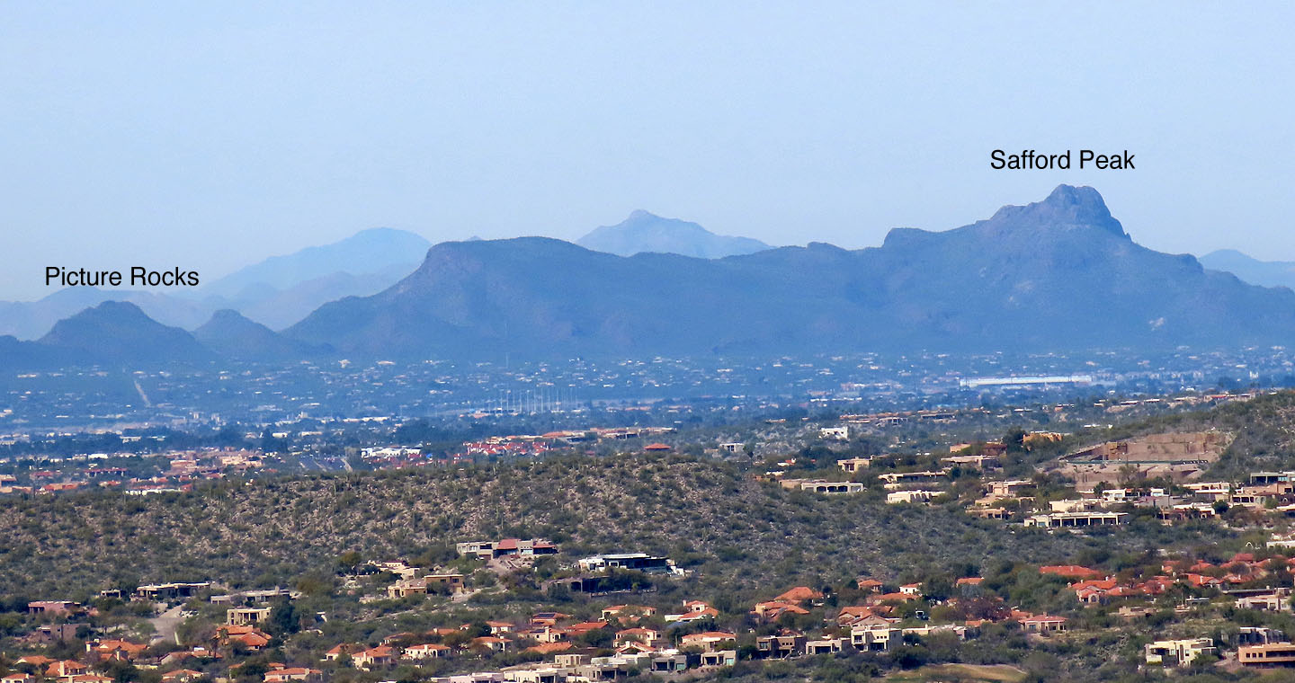 To the right of Wasson and barely visible in the previous photo: Picture Rocks which we did two days later, and Safford Peak last year
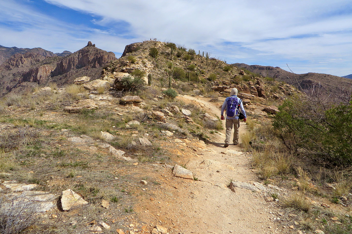
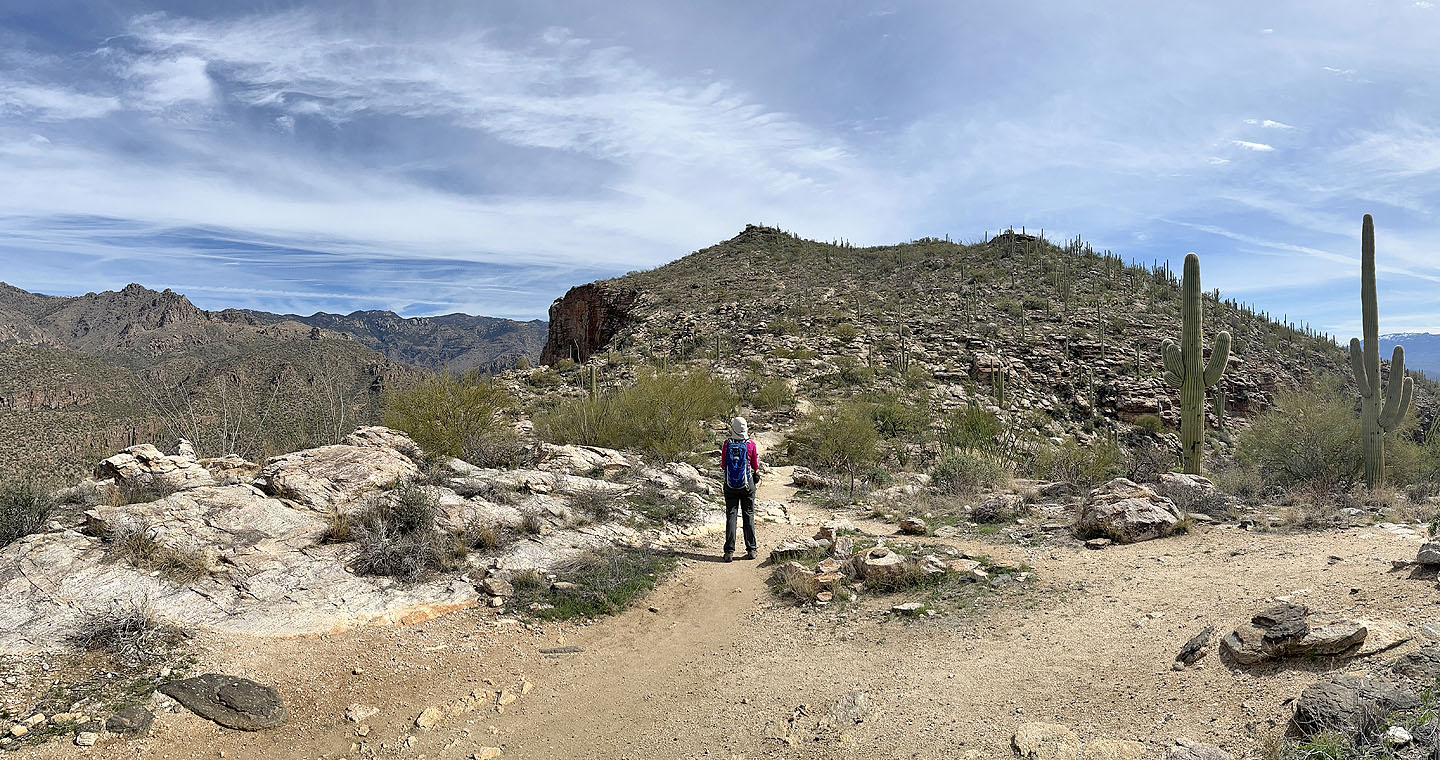 A false summit appears ahead
Heading to the false summit
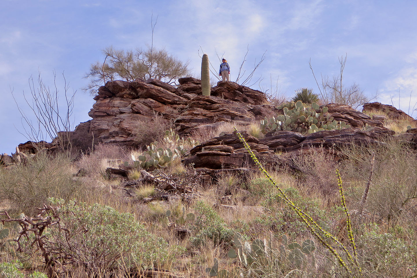 I stopped on the false summit (mouse over to look back)
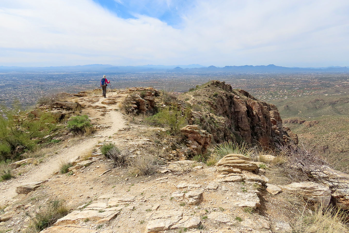
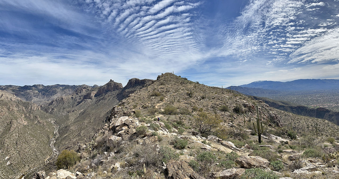 The true summit is in view now
 A person can be seen standing on the top
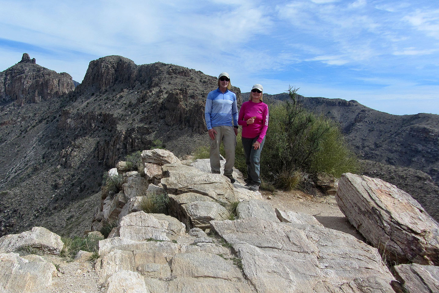 Standing on the summit
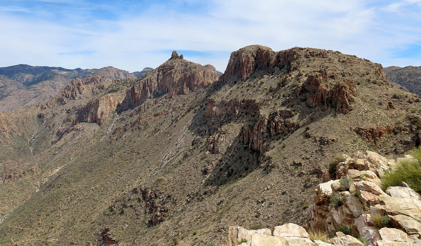 Thimble Peak appears in the centre (mouse over for close-up)
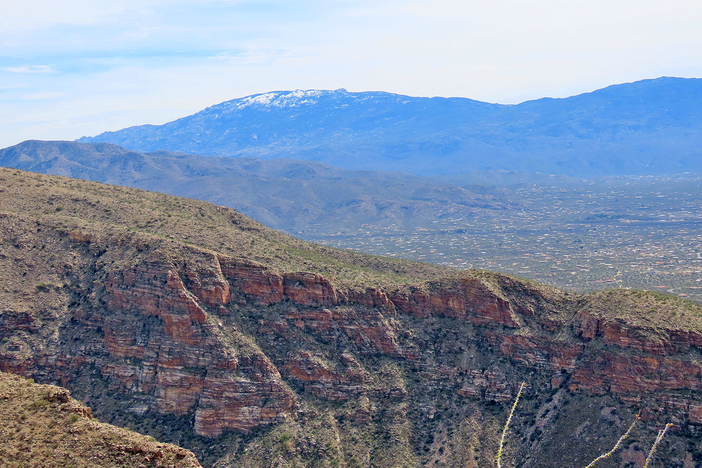 Snow-covered Mica Mountain lies west 26 km away. On the right is Tanque Verde Peak. Barely showing left is Agua Caliente Hill.
 Mount Lemmon (centre) is 12 km north (mouse over for a close-up)
 Starting down from the summit
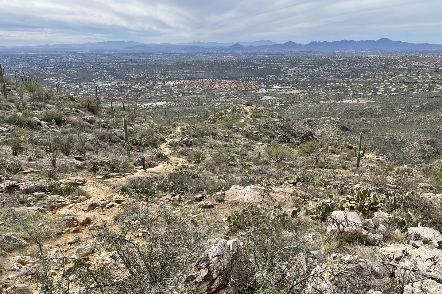 The town of Oro Valley stretches across the valley
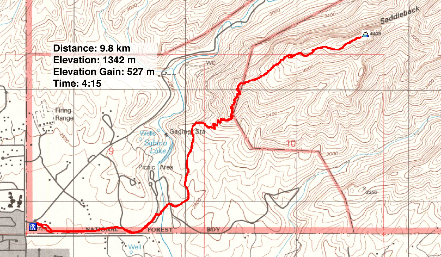 Sabino Canyon (6.1 mi, 4403 ft, 1729 ft)