bobspirko.ca | Home | Canada Trips | US Trips | Hiking | Snowshoeing | MAP | About
Pontatoc Point
Pusch Ridge Wilderness, Arizona
February 29, 2024
Distance: 8.7 km (5.4 mi)
Cumulative Elevation Gain: 679 m (2228 ft)
One of the hikes Dinah and I selected to do months before our trip to Tucson was Pusch Peak. Only after arriving in February, did we realize Pusch Peak is closed from January 1 to April 30 for bighorn sheep lambing season. But we quickly found an alternative nearby: Pontatoc Ridge Trail. The trail is open during lambing season, but hikers are prohibited from travelling 120 m (400 ft) off Forest Service system trails. The trail leads to a mine in a rock wall lacking appreciable views. However, recent postings on Alltrails reported taking a trail by the mine to reach the ridge for panoramic views. It sounded good to us.
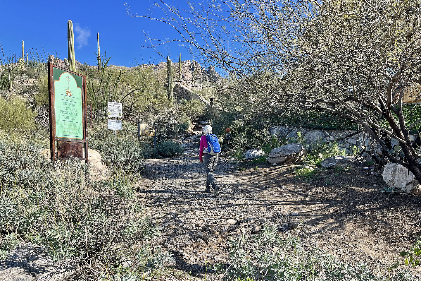
The trailhead is located on the outskirts of the city. Parking is available 100 m down the road. The trail immediately climbs a rise with a vista of Pontatoc Ridge. The trail then drops down and crosses a basin before it begins ascending Pontatoc Ridge. After a long switchback, we reached the ridge crest. We could see Pontatoc Point in the distance. The mine lies just below it. We followed the trail to the mine.
A sign signals the trail end, although a rough trail continues to the mine. I followed it partway before turning around. I was close enough to see it was just a hole in the rock, and I was more interested in climbing the ridge.
Dinah and I walked back along the trail to the side trail leading to a saddle on the ridge. Except for scrambling up boulders in a couple of places, it was merely a hike. We soon reached the saddle. The trail continues up the ridge, although sometimes it disappears in rocks. There was one notable, easy scramble up white boulders. After that, we cruised up a pleasant, gentle trail to Pontatoc Point.
Since we didn't know what to expect on the ridge, we were pleased to reach the summit without difficulties. And we didn't realize the summit had a name until I found this after the trip. I also wondered afterwards if the trail to Pontatoc Point was off-limits during lambing season. It wasn’t mentioned on Alltrails, and there was no sign prohibiting its use, so I wasn't sure. In any event, we saw no bighorn sheep, and we found the hike deeply satisfying.
 Along with Pontatoc Ridge, the trailhead accesses Pontatoc Canyon, Finger Rock and Mount Kimball
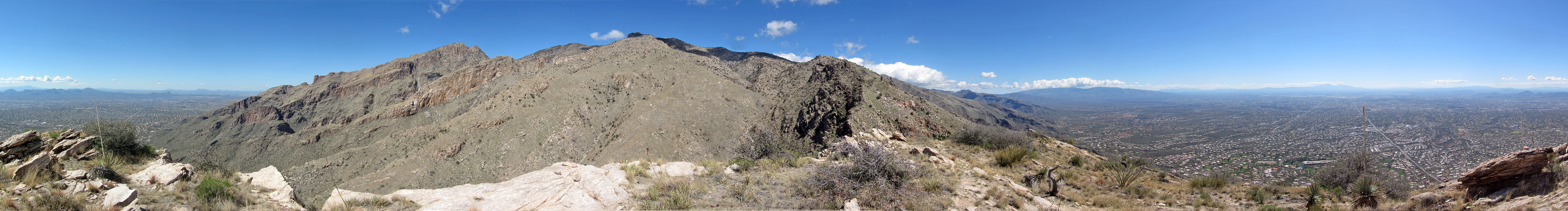
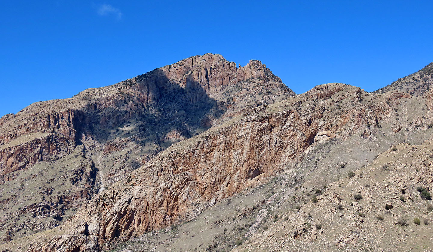
Pontatoc Point stands out on Pontatoc Ridge
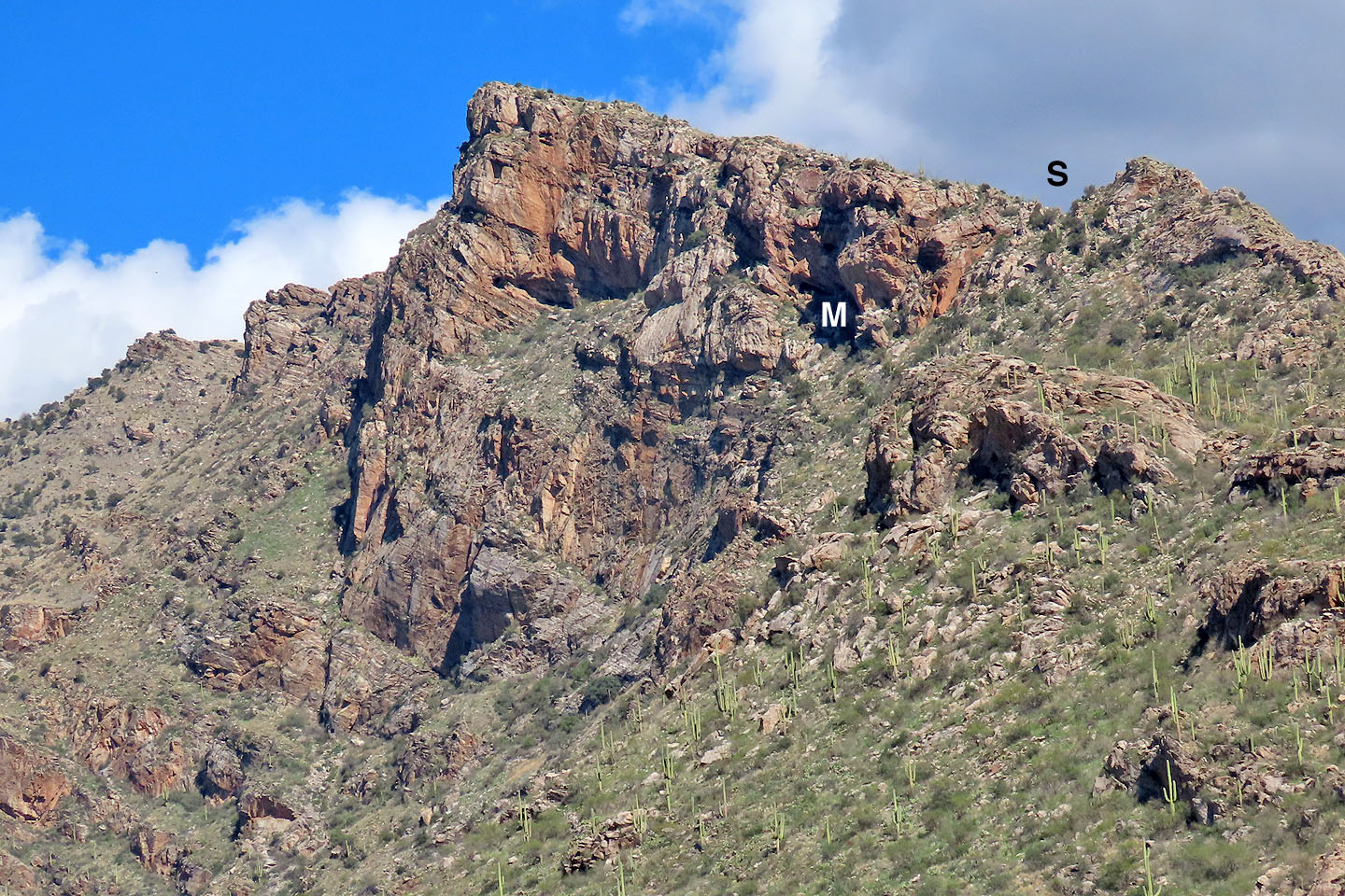 Close-up of Pontatoc Point showing the Saddle and where the Mine is
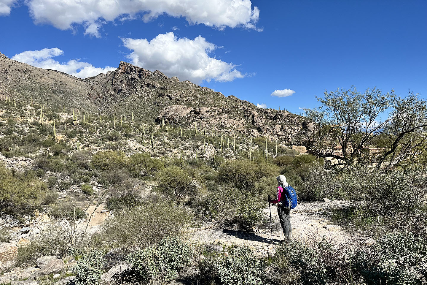
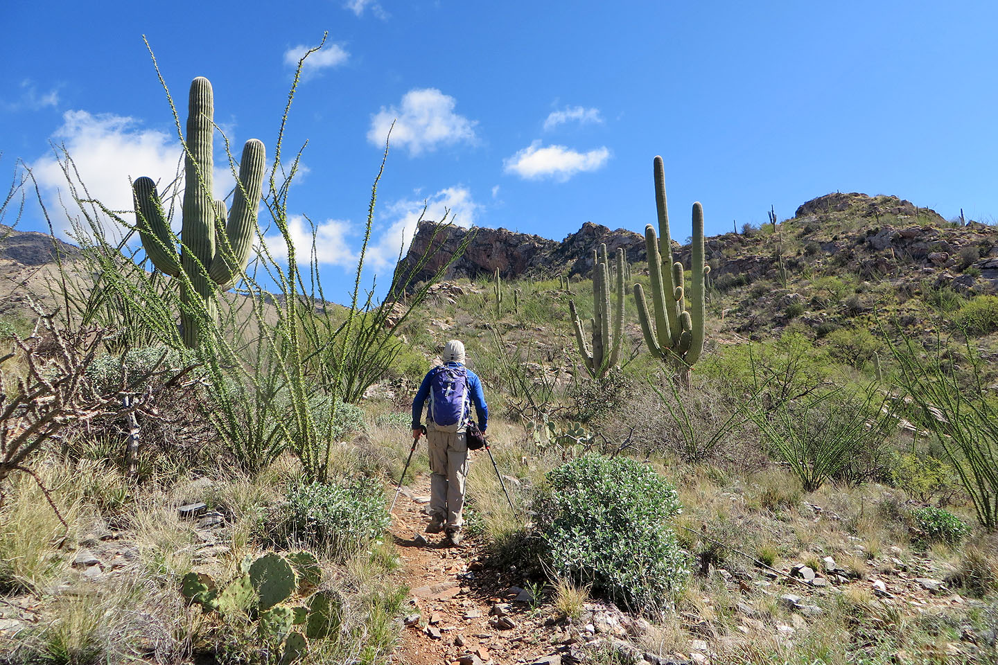
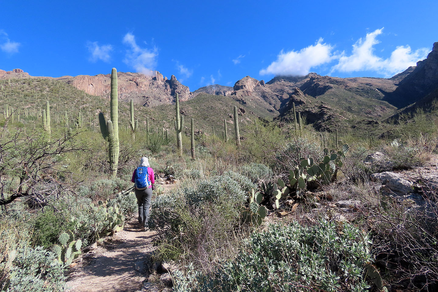 Crossing the basin leading to Pontatoc Ridge. Above Dinah is Finger Rock (mouse over).
 The trail begins climbing after it crosses the gully ahead
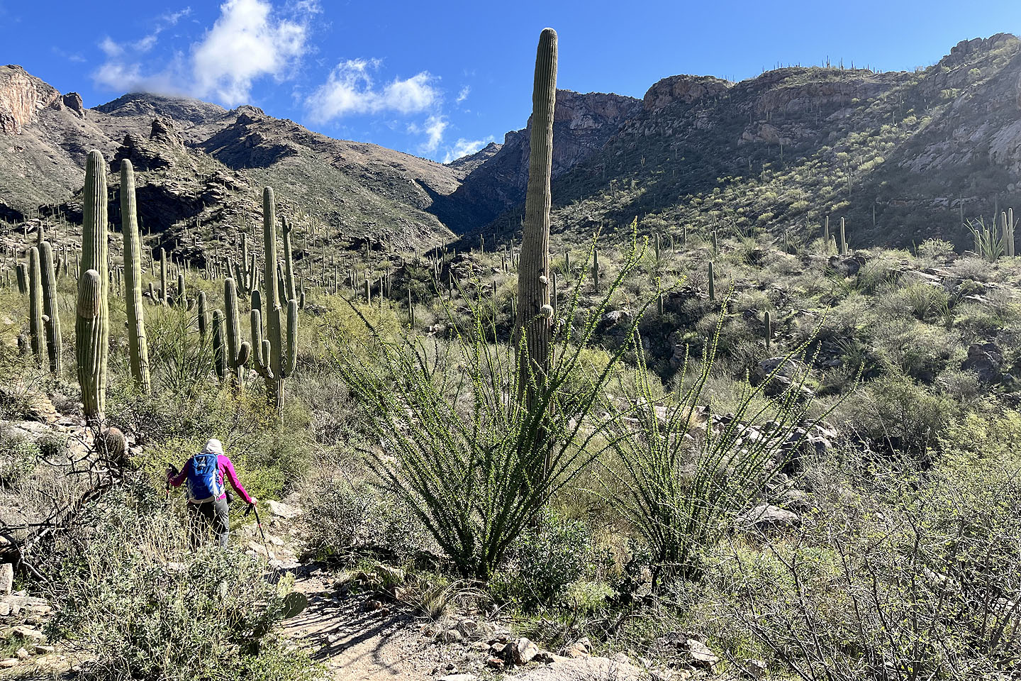
 Dinah reaches the gully where we found a stream
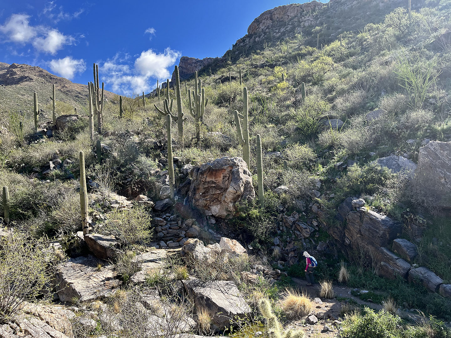
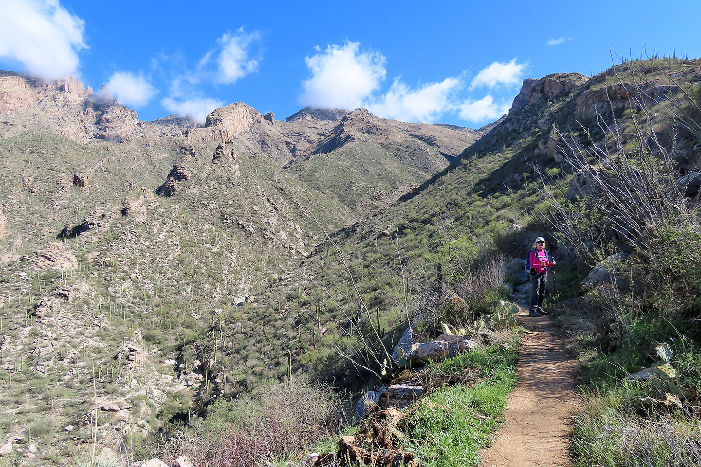
 Hiking up from the gully. The trail doubles back to traverse the slope below the rock above me.
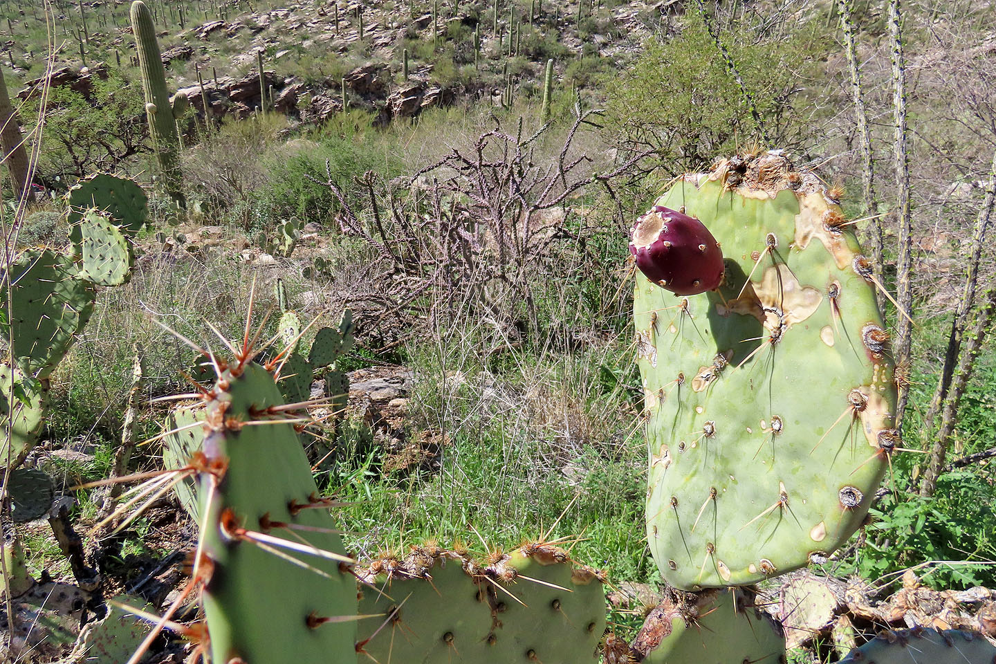 Prickly pear with fruit
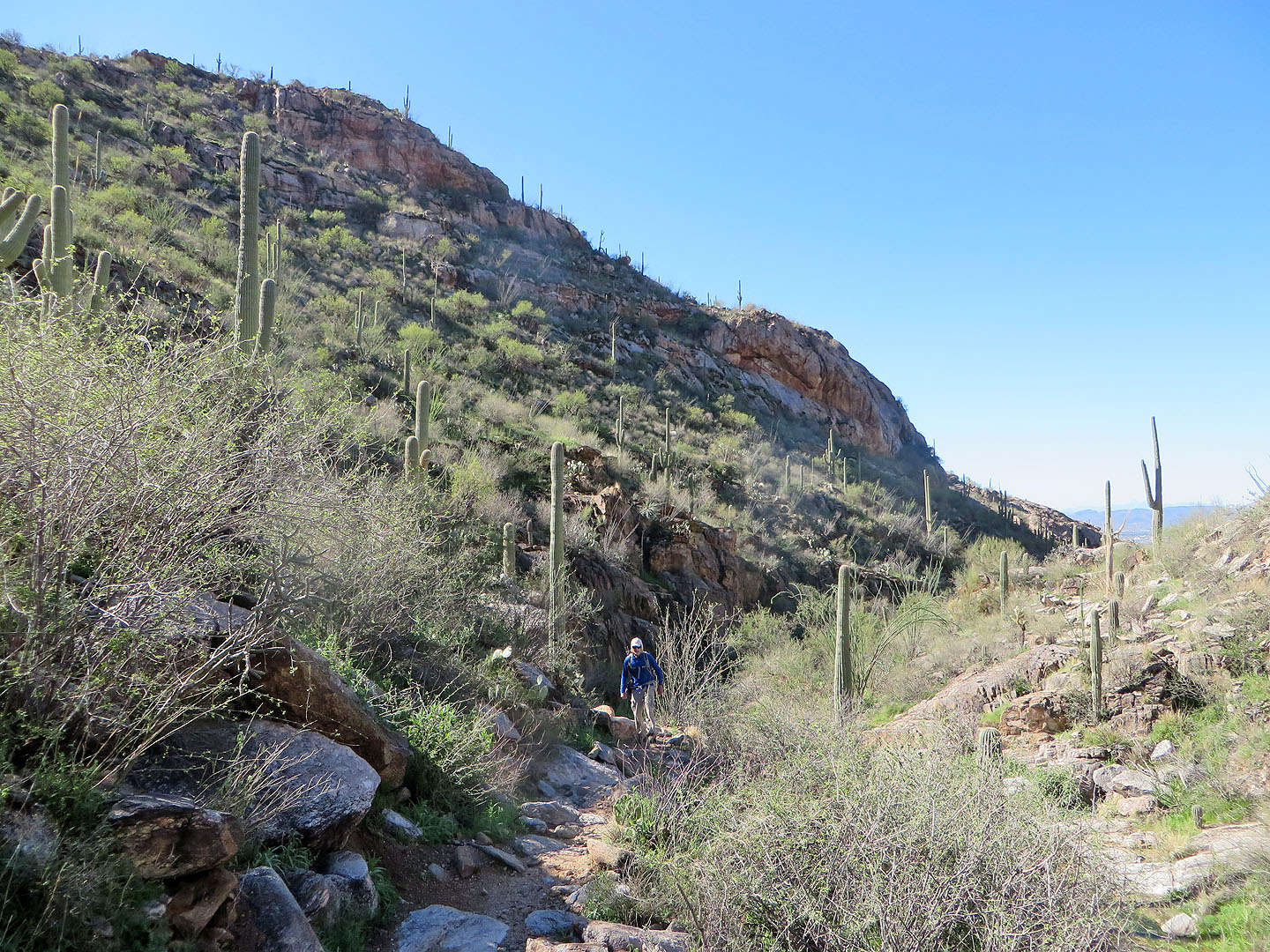
 Looking back from the trail traversing the slope. In the middle, a cloud conceals The Finger.
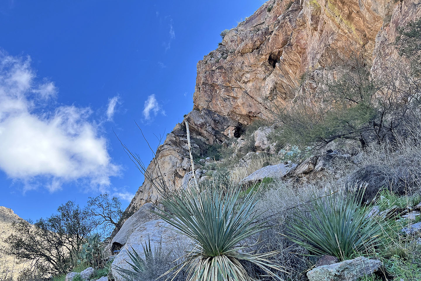
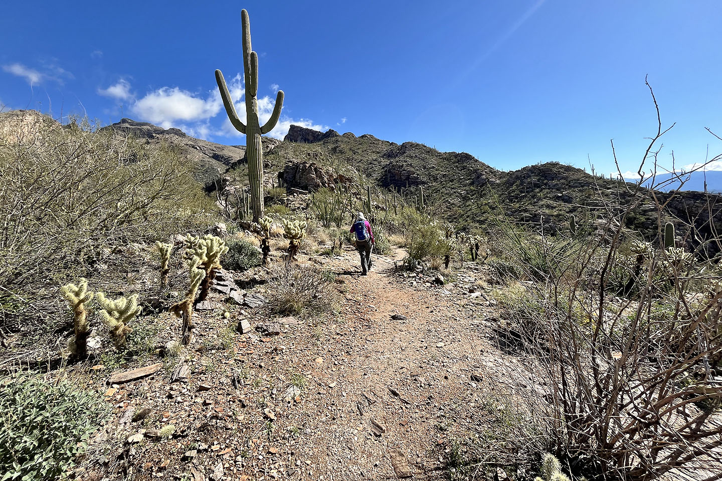 Finally we reached the ridge and headed to the mine under Pontatoc Point
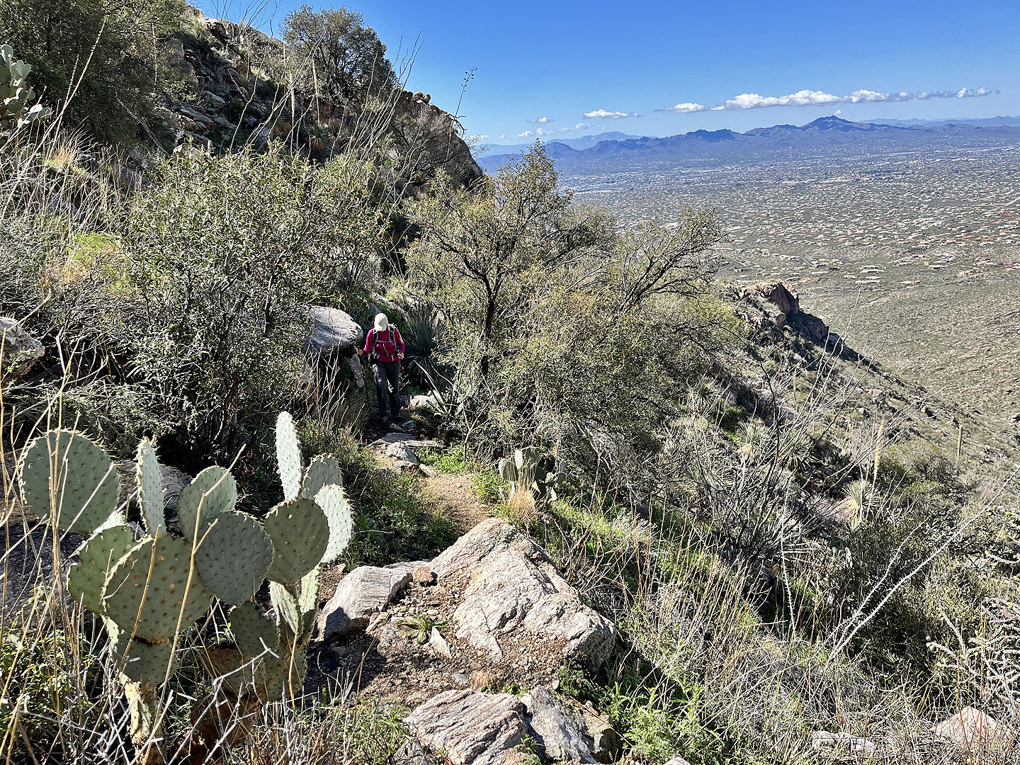
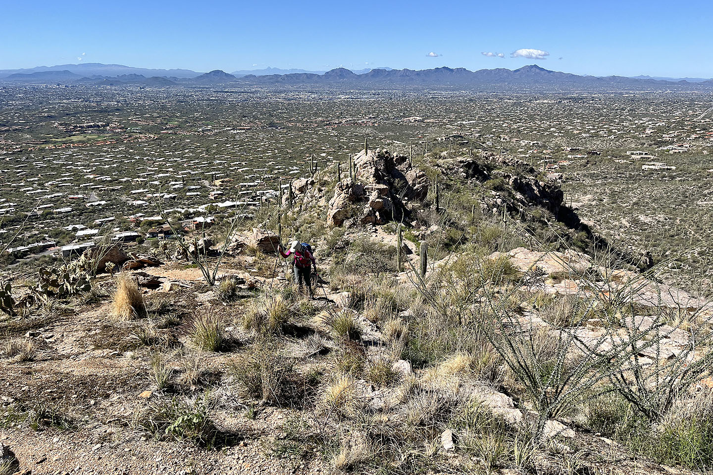 Looking back across Tucson. Wasson Peak appears under a cloud.
 Drawing closer to the mine
 The mine is just ahead. After the mine, we'll follow a trail to the saddle above.
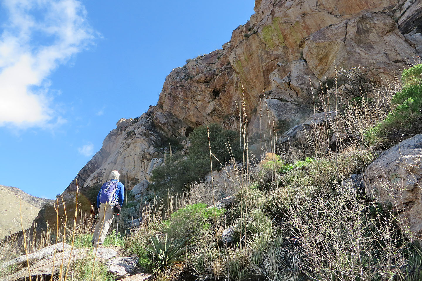
 The trail to the mine wasn't pleasant, being rough and narrow
 Almost at the end of the trail
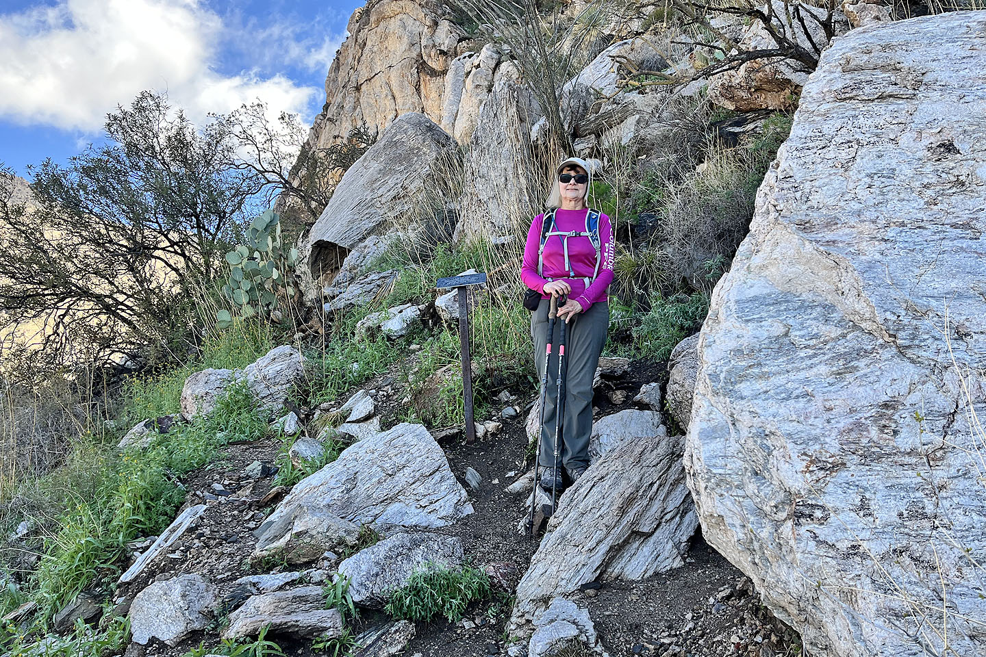 Dinah stops at the sign (mouse over to read)
 I continued a little farther up before turning around
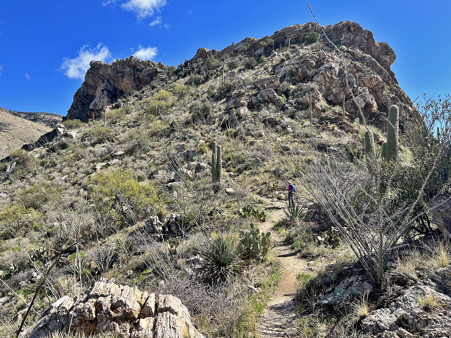
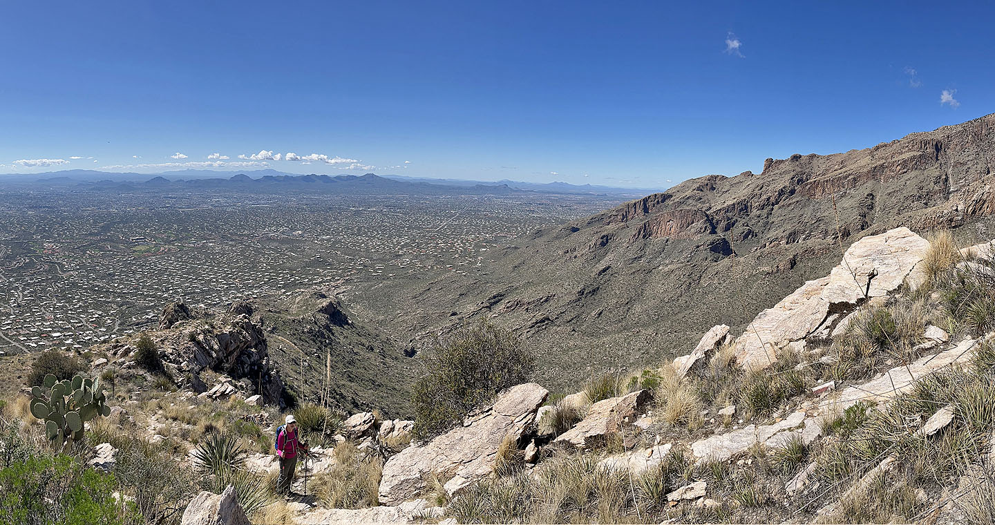
 We went back down the trail and started up the trail to the saddle
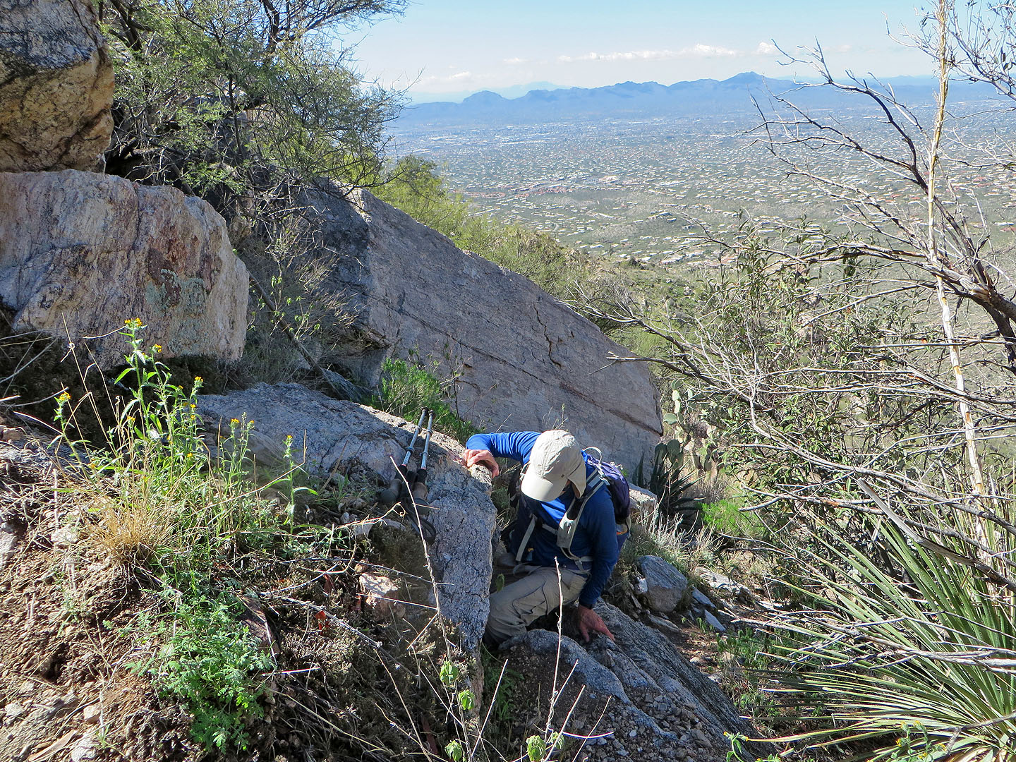 Except for a couple spots, the trail was a hike
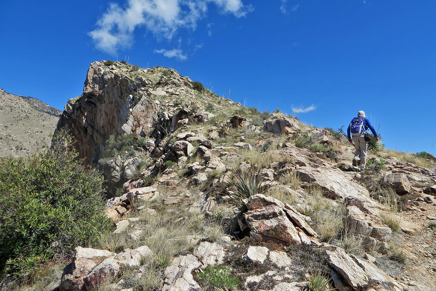 Going up from the saddle
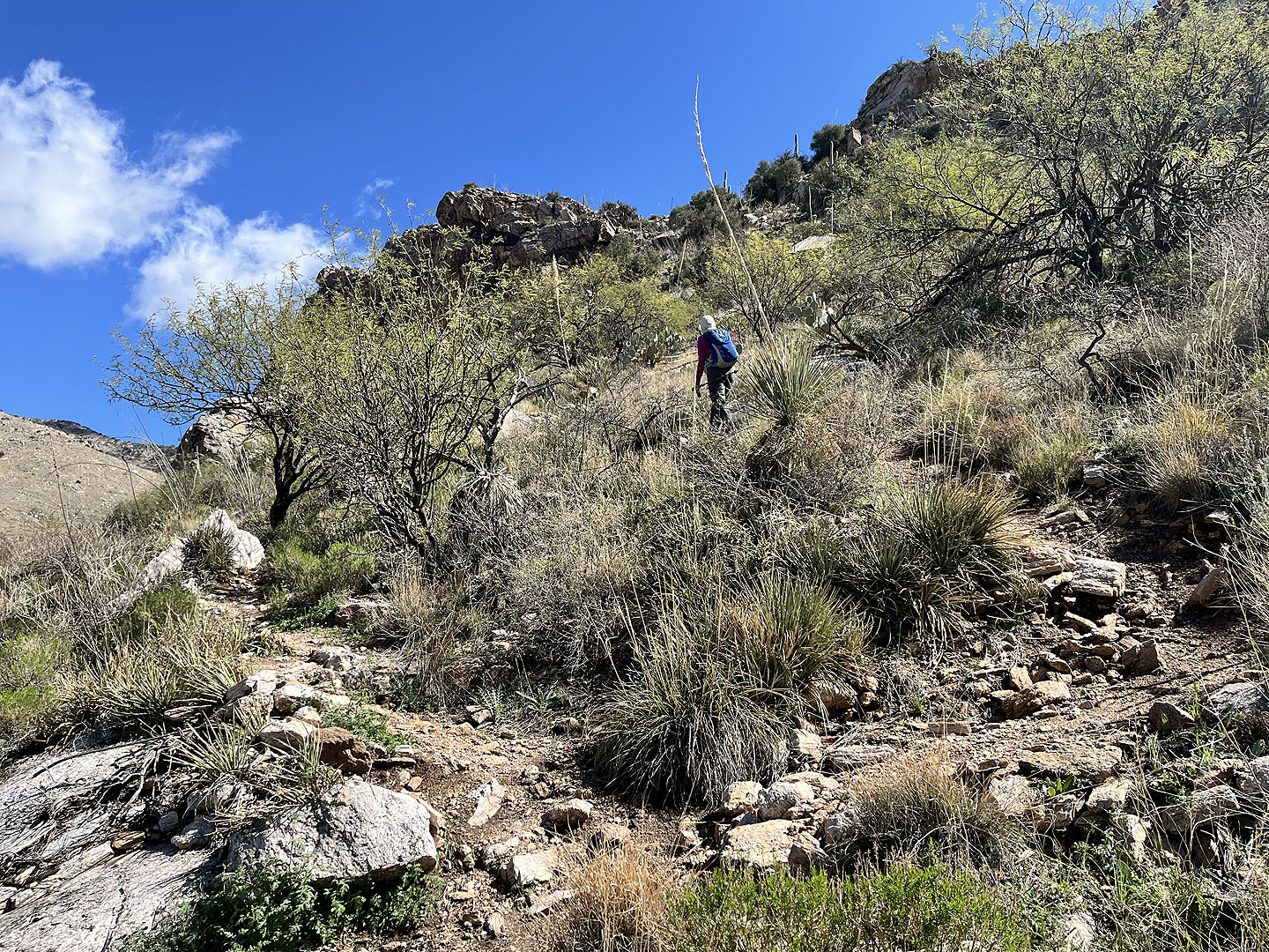
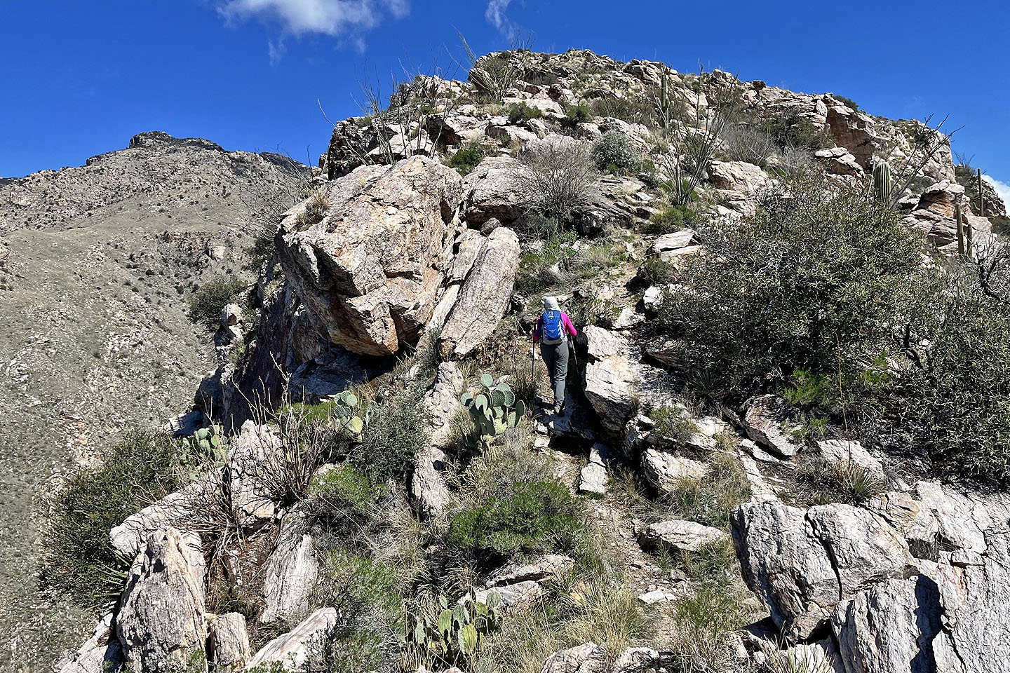
 We continued up the ridge
 A trail runs up the ridge
 We kept going up
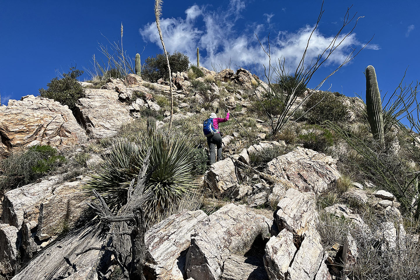
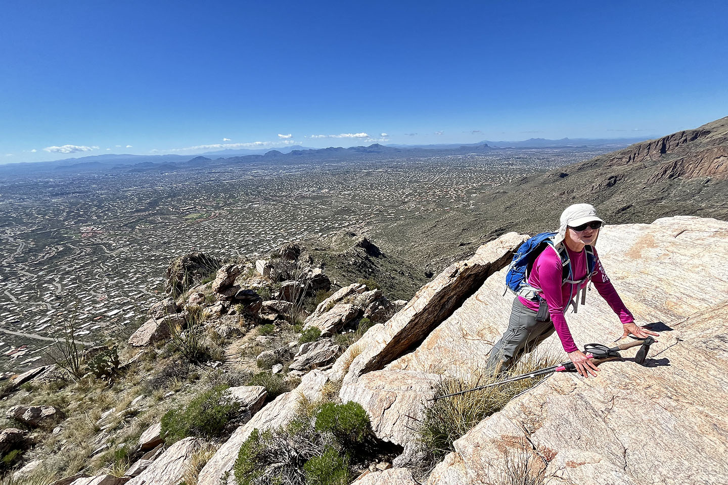 There's a final bit of scrambling up white rocks, after which we followed a trail to the top
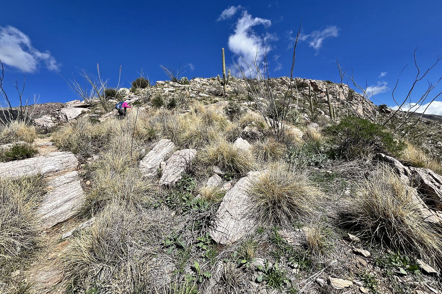
 The rest of the way was easy
 We had a good view of The Finger (mouse over for a close-up)
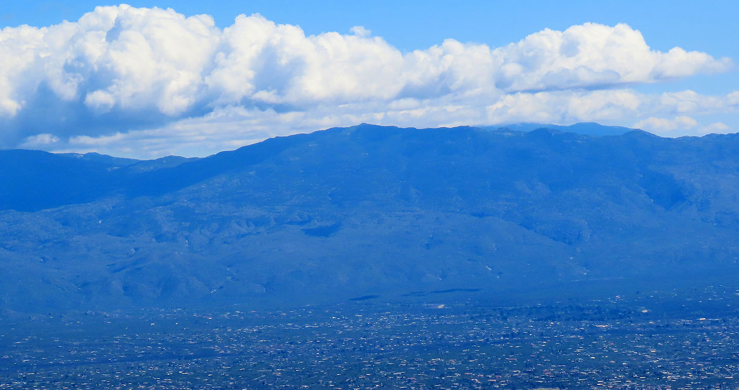 Tanque Verde Peak
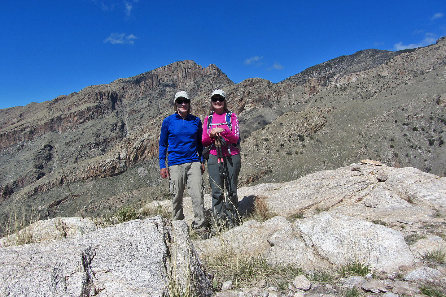 Standing on the summit
 Tucson North (5.4 mi, 5079 ft, 1985 ft)