bobspirko.ca | Home | Canada Trips | US Trips | Hiking | Snowshoeing | MAP | About
Enchanted Peak
Enchanted Hills Park, Arizona
March 1, 2024
Distance: 2.6 km (1.6 mi)
Cumulative Elevation Gain: 78 m (256 ft)
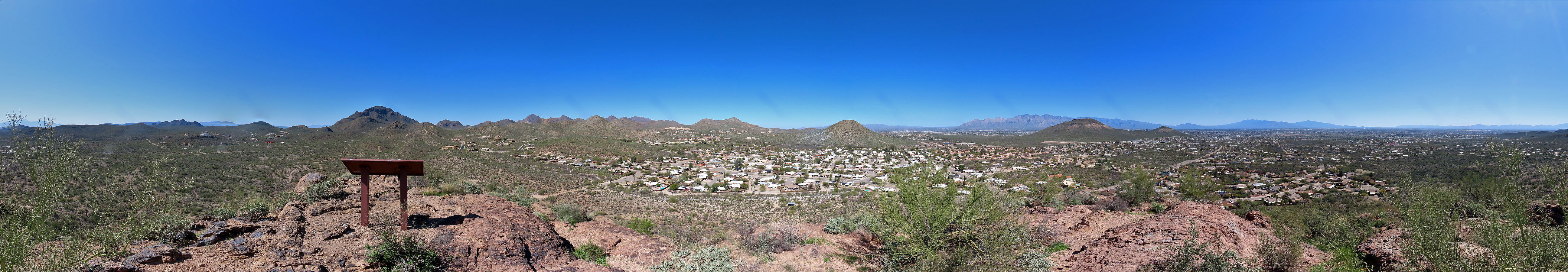
Enchanted Peak is a tiny but isolated desert peak that offers good views for its size. A ring trail circles the base of the peak while a side trail accesses the summit. On the top, a placard points to peaks in the east and names them. Dinah and I found this interesting since it was our first time hiking in Tucson.
For no particular reason, we hiked the loop counterclockwise. As well as observing the desert scrub and cacti, we noticed a few animals. A woodpecker screeched on a saguaro, and a pair of hummingbirds whizzed by us. We also spotted a small lizard.
When we reached the backside of the peak, we found the trail leading to the summit. Using switchbacks, the trail gradually ascends through the rocks, although it steepens just before the summit. After taking in the sights, we returned to the ring trail and completed our walk around Enchanted Peak. I wouldn't say we were enchanted with the short hike, but it was a pleasant trip.
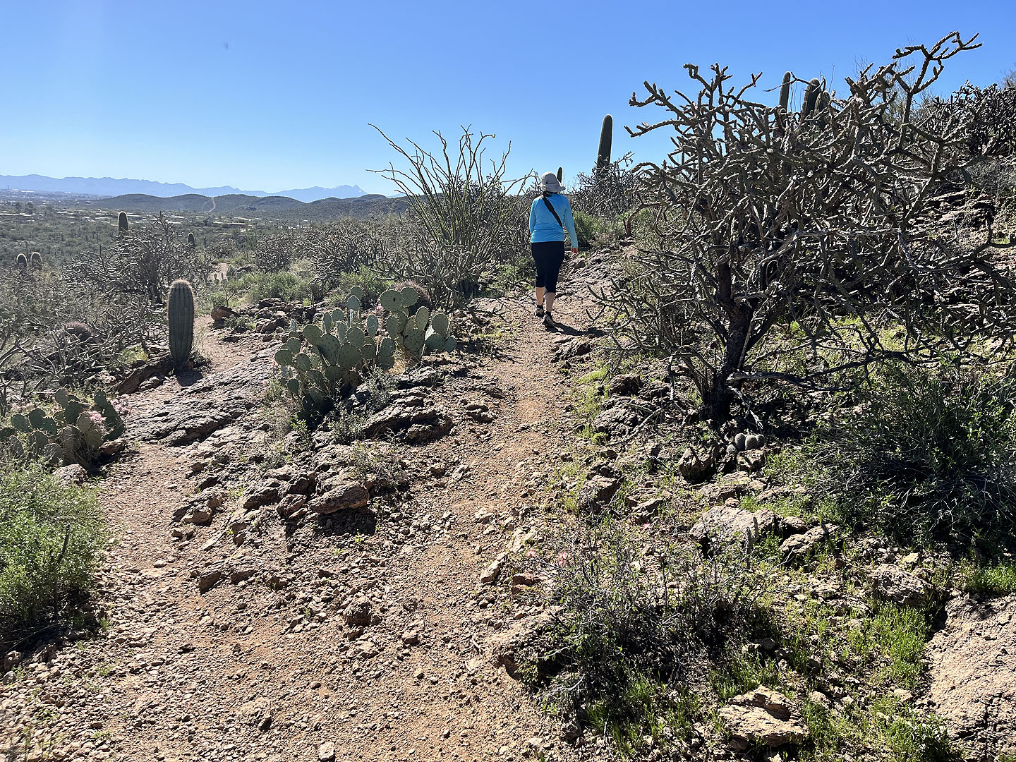
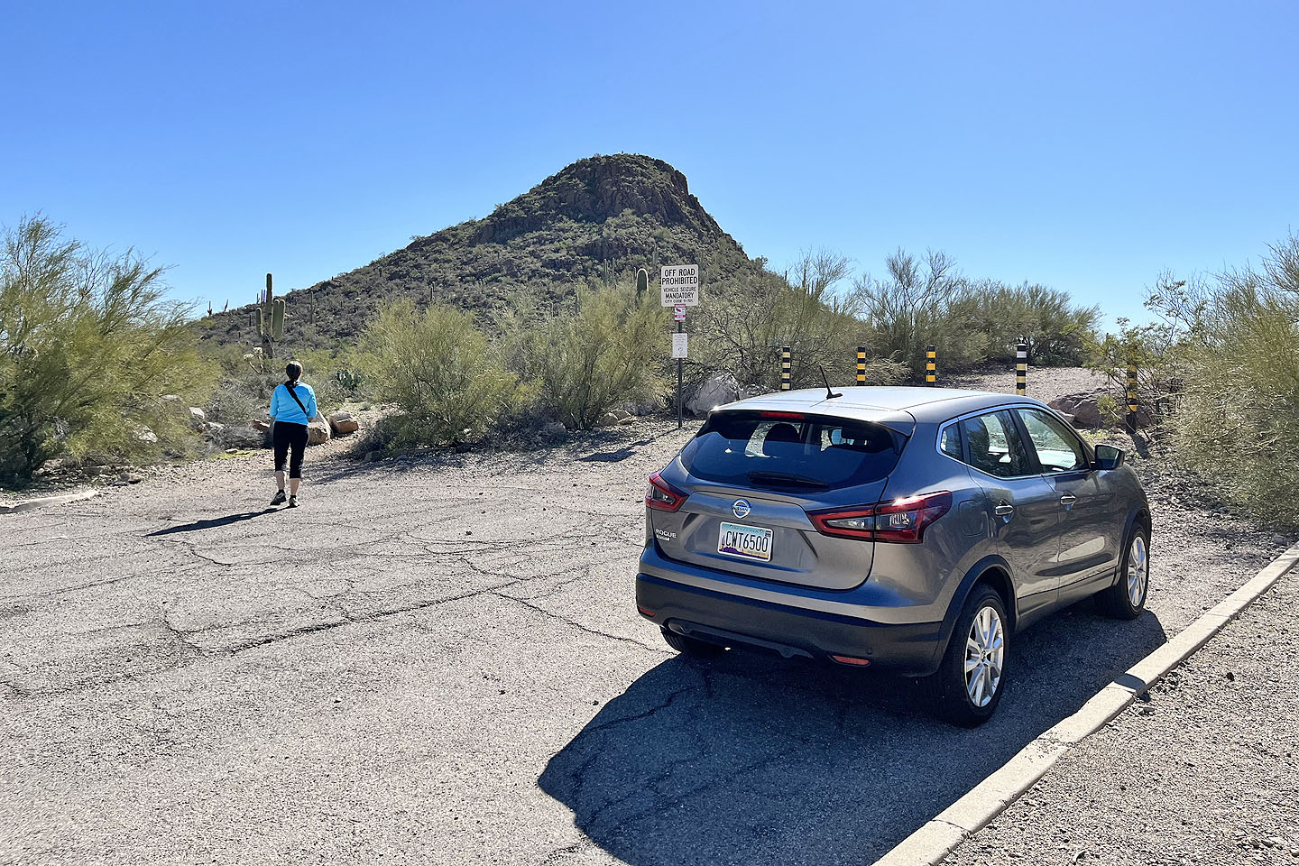 Starting up the trail
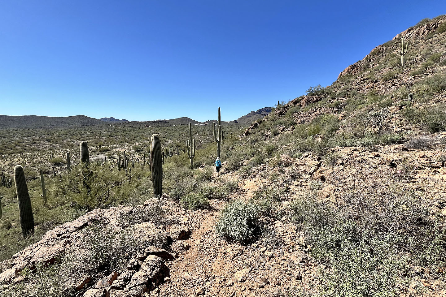
 The ring trail runs to the backside where a side trail ascends summit
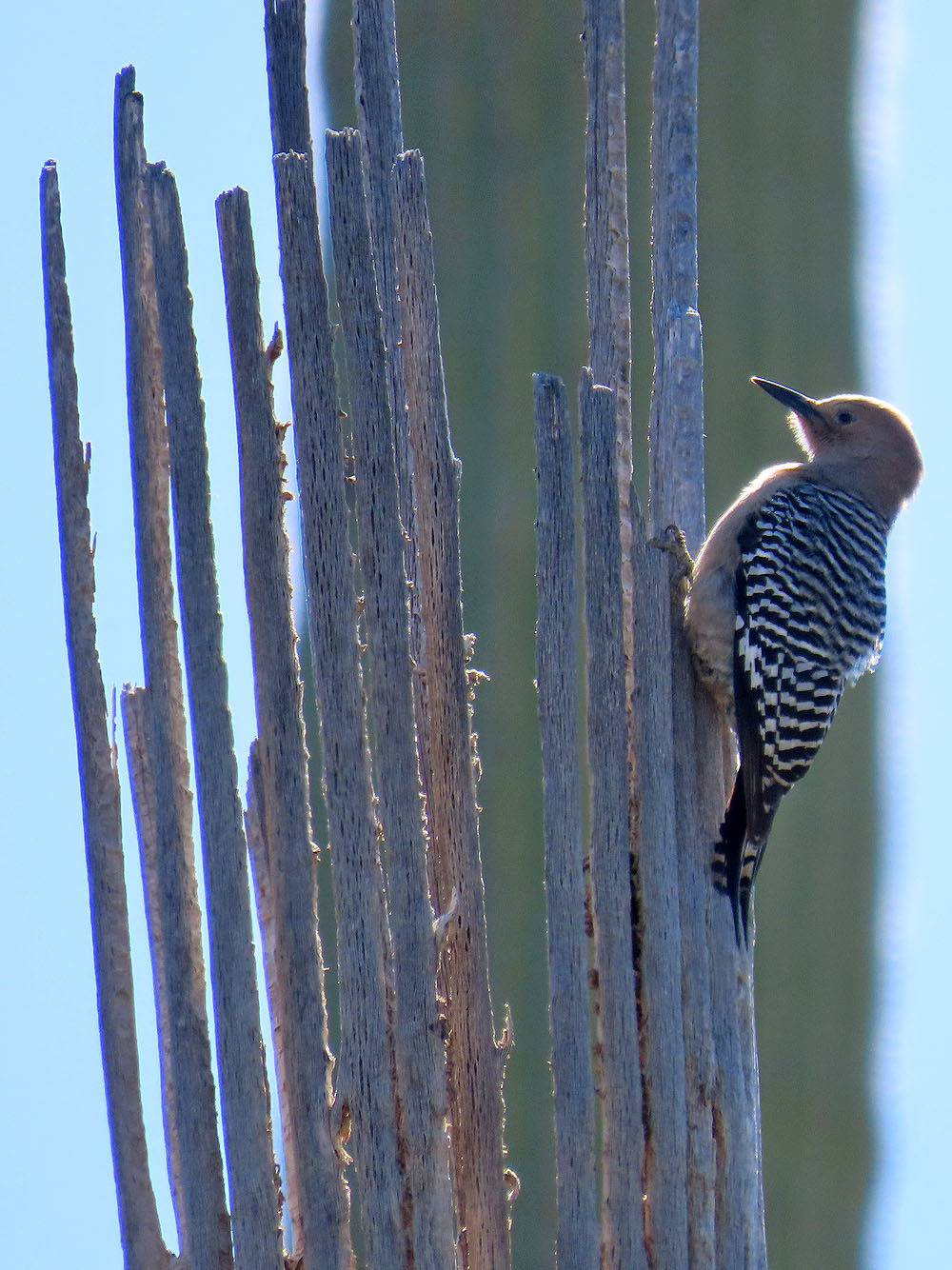
Gila woodpecker on a dead saguaro
 Starting up the ascent trail from the ring trail
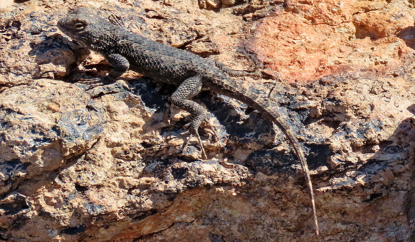 Great basin fence lizard
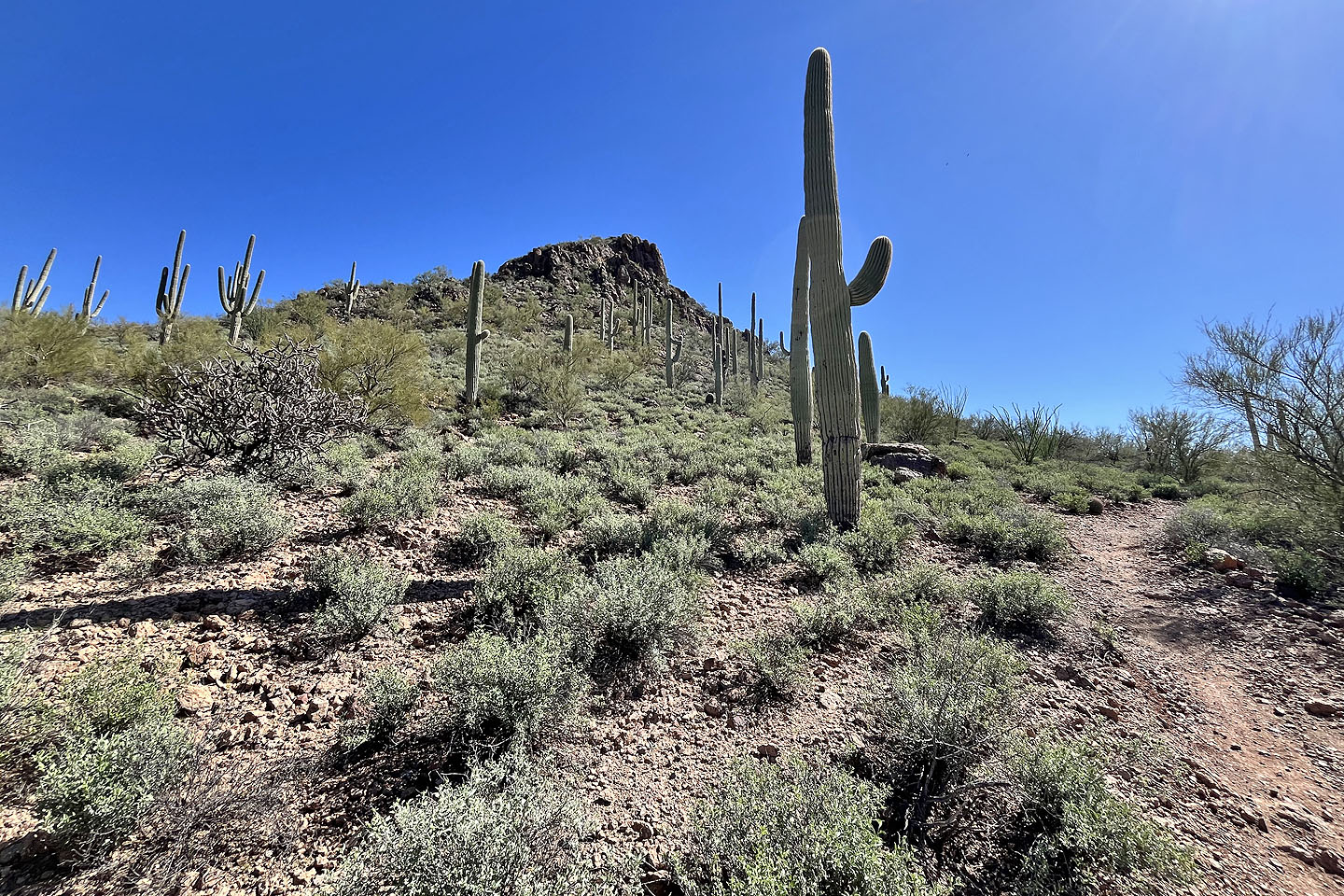
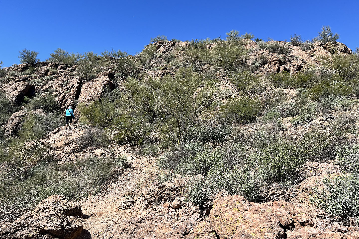 Switchbacks climb to the summit while avoiding the rocks
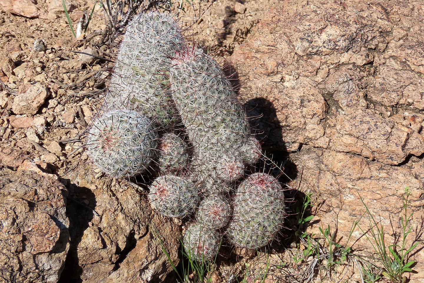 Fishhook cacti
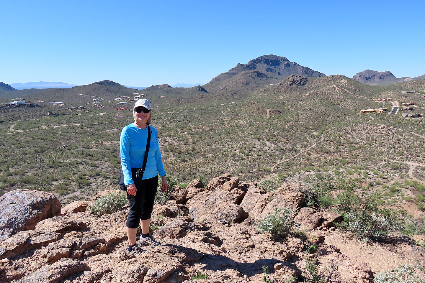 Dinah stands on the summit. Behind her is Cat Mountain (mouse over for a close-up).
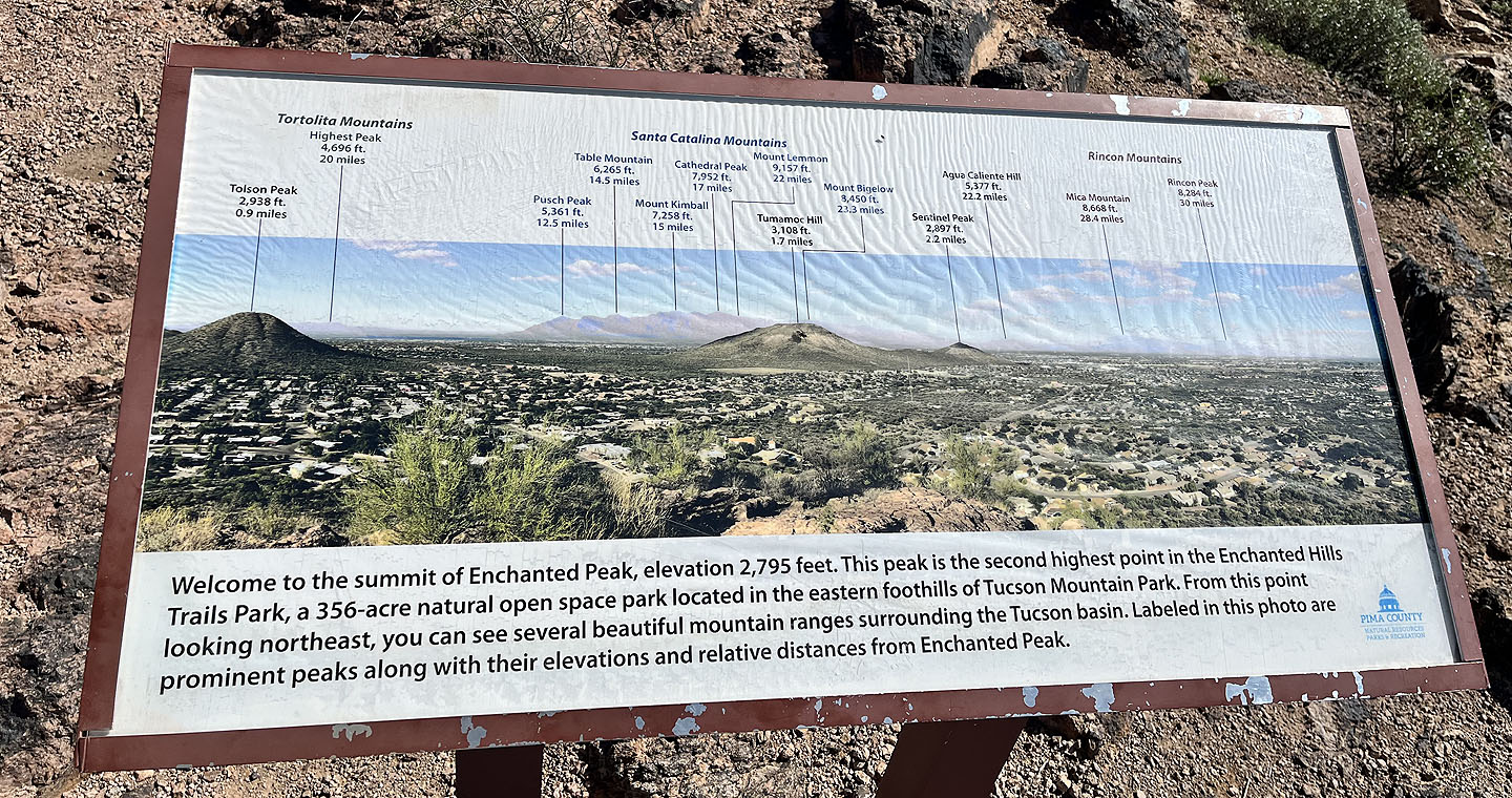 A sign identifies peaks along with their elevation and distance
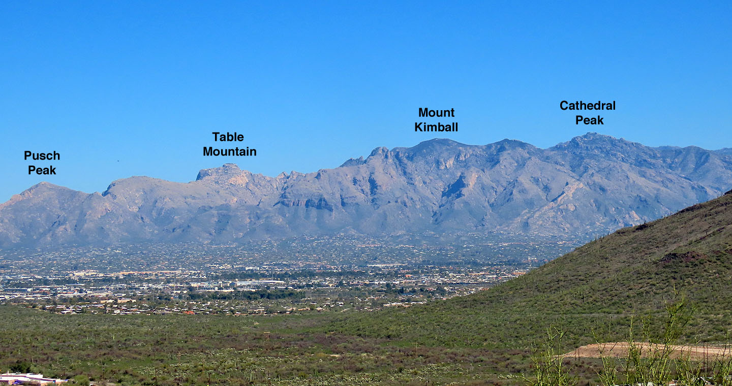 Some of the peaks on the sign. Mouse over to see Pontatoc Point which we climbed the day before.
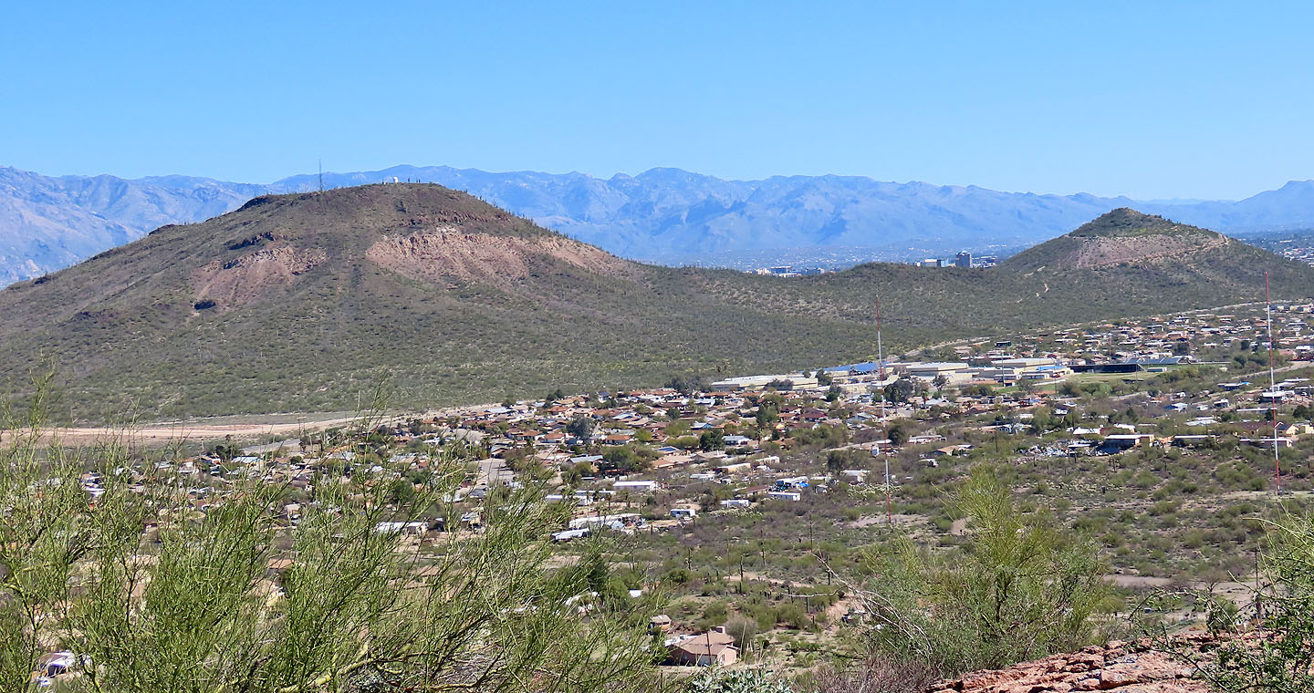 Tumamoc Hill and Sentinel Peak are nearby to the east
 Going back down the switchbacks
 We continued going around the ring trail
 F/A 18 Hornets flew overhead. Military jets occasionally broke the silence over Tucson.

Cat Mountain (1.6 mi, 2789 ft, 243 ft)