bobspirko.ca | Home | Canada Trips | US Trips | Hiking | Snowshoeing | MAP | About
Upper Canyon Creek
Peaks 427439 and 436425
Kananaskis, Alberta
June 2, 2018
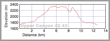
Distance: 12.6 km (7.8 mi)
Cumulative Elevation Gain: 860 m (2822 ft)
The north-north fork of Upper Canyon Creek offers four peaks to hike up; all have fine summits and all lack a name. Kananaskis Country Trail Guide calls them by their cumbersome grid references: Peaks 409435, 412443, 427439 and 436425. I'm inclined to abbreviate them to 40, 41, 42 and 43.
We set out to do the two eastern peaks, Peak 42 and Peak 43. Joining me were Zora Knezevic, Christine McNamara and Christine Grotefeld. The usual approach calls for hiking up Upper Canyon Creek to ascend the west slopes, but the guidebook offers an intriguing route that uses logging roads and cutblocks to access the east slopes to reach the col between 42 and 43. It also suggests descending the slopes south of 43 to create a looped trip.
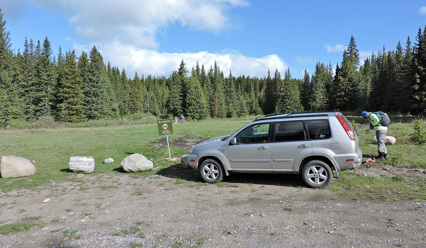
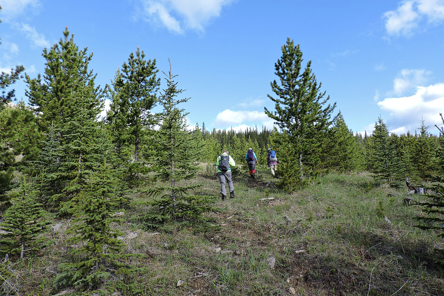
We parked at the trailhead on Powderface Trail and started up a logging road. After passing through one cutblock, the road reaches a second, larger cutblock. Here the road disappeared at a T-intersection. We turned north for our ascent but would return to the intersection from the south.
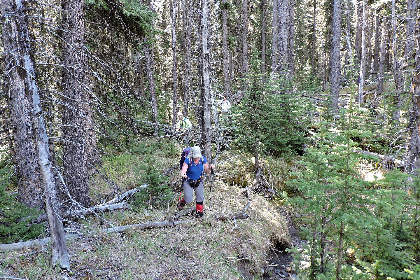
For a cutblock, navigation wasn't easy. Trees as tall as 20 feet made it difficult to get our bearing. So when we reached a rise, we decided to head directly to a creek we had to cross. We left the cutblock and hiked through an old forest. But travel was worse here because of the terrain and deadfall, and we ended up adding a little distance. We should have stayed in the cutblock.
However, after crossing the creek at the edge of the cutblock we were on track. Our next objective was in plain sight: a treed spur leading to the col. Leaving the cutblock and starting up the spur, we pushed through the deadfall on the lower slope to reach the easier crest. We soon welcomed the sight of Peaks 42 and 43 from clearings. We made our way to the col between the two peaks.
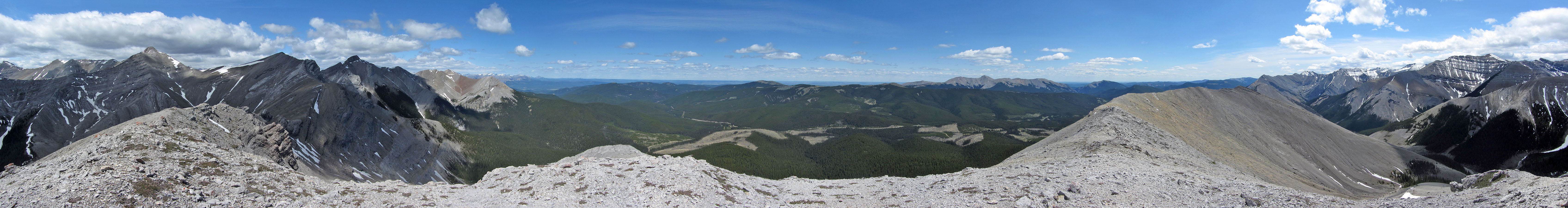
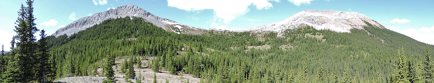
From the col, we turned right and started up 42, the highest of the two peaks. After the ridge levelled off, and aside from a brutally cold wind, we were treated to a delightful ridgewalk to the summit. I stopped to snap a panorama (above). While the two Christines hung back, Zora and I continued along the ridge to see the olistoliths, gigantic, weird looking rocks lying below 42. Afterwards, we turned around.
The four of us regrouped and set off for Peak 43. We returned to the col and went up the steep north ridge. But even aided by a trail, hiking was miserable in the soft scree.
After tagging the summit, we continued down the gentle south ridge to a notch bearing a small cairn. Leaving the rocky ridge, we turned left and started down a steep, treed slope. Unsure of which direction to take, we headed down and slightly left. We soon hit the top of a long, narrow clearing. We were lucky. Had we missed this grassy strip, we would have had to bushwhack a long way down.
We reached a big clearing at the bottom and keeping left, entered the forest. After some light bushwhacking, we came to a cutblock. Keeping left in the cutblock, we reached the road leading back to the T-intersection. A short time later, we were back at our car. That would have been the end of our story, except for finding a flat tire. But we (actually me), put on a spare tire and were soon driving back down Powderface Trail, hoping we wouldn't get another flat.
Hands down, Peaks 42 and 43 offer a pleasant ridgewalk, but what’s the best way to get there? Neither the creekbed approach nor the bushwhacking approach is enticing. However, I think the creekbed is the lesser of the two evils. There is little that can go wrong when you follow a creekbed, but room for routefinding errors when you bushwhack up or down the east slopes.
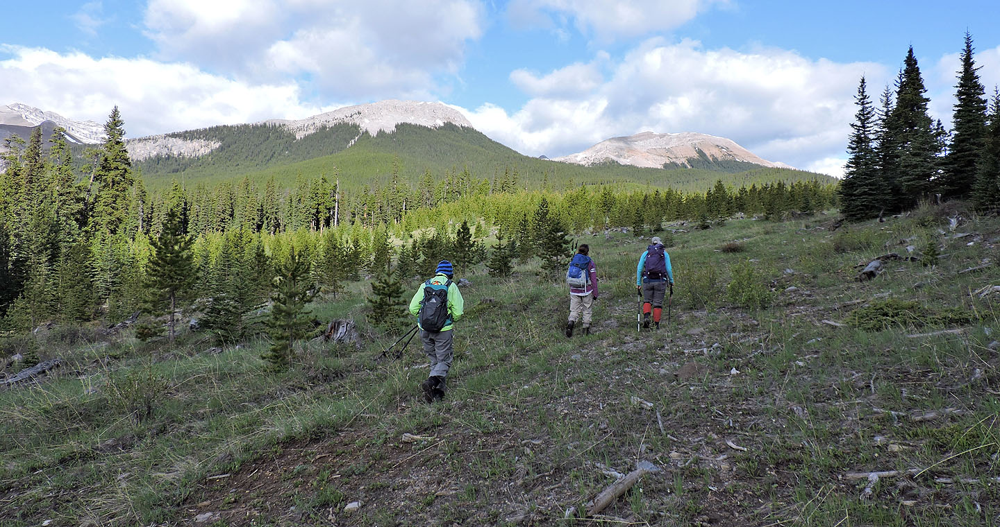
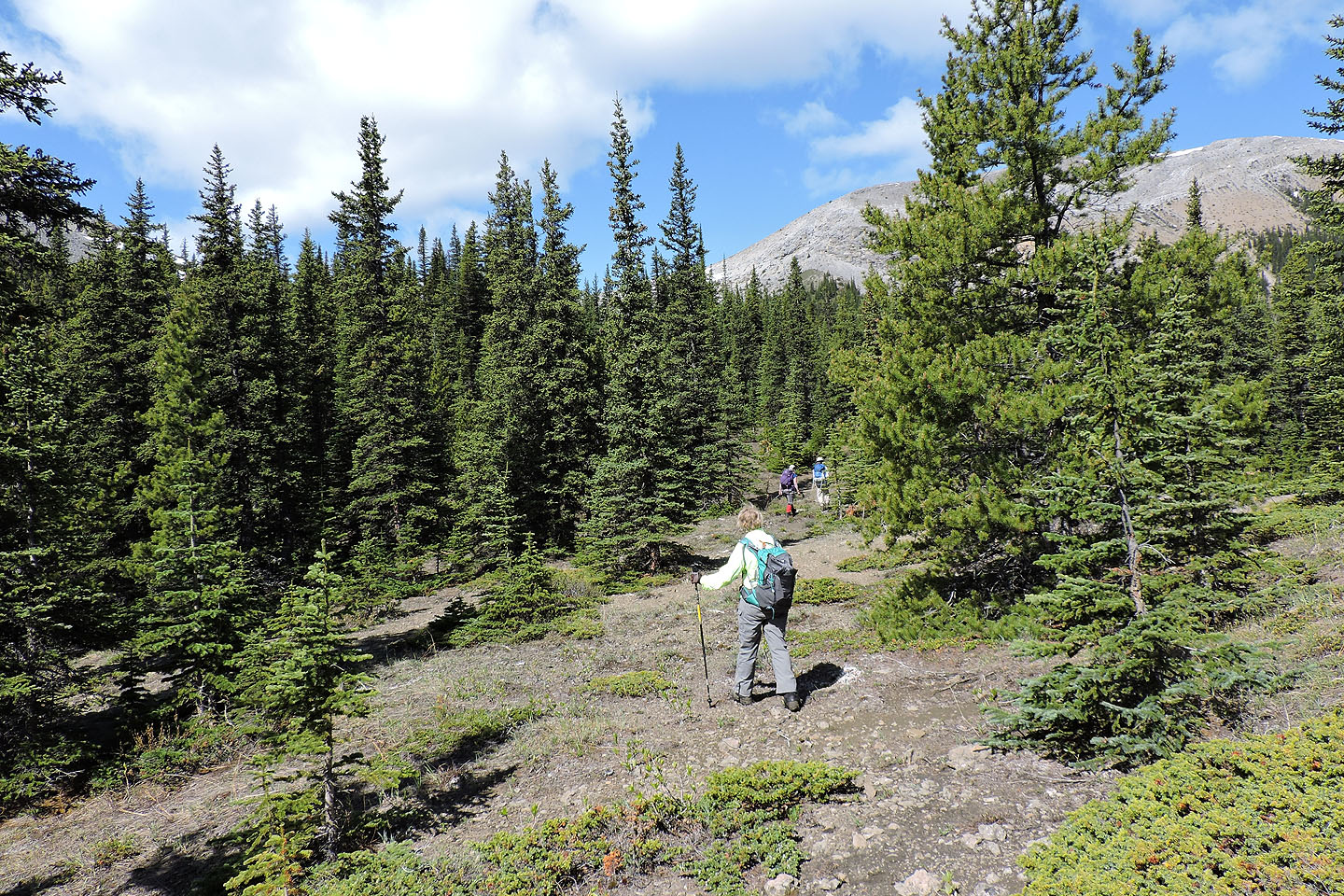
Setting off up the trail
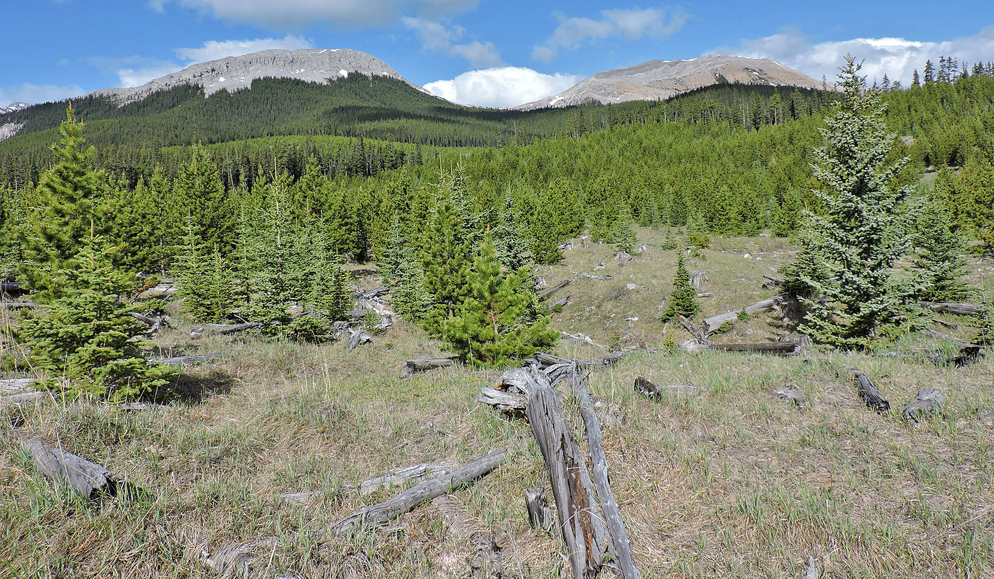
A short time later Peaks 43 and 42 came into view
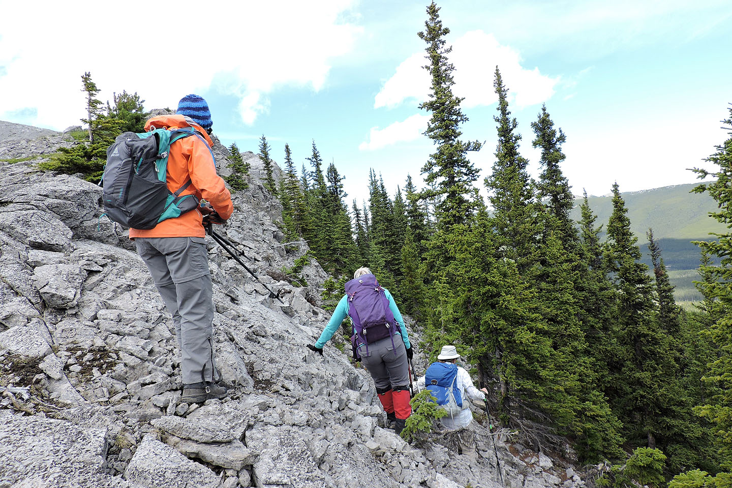
We turned right at the T-junction where the trail, already very faint, disappeared
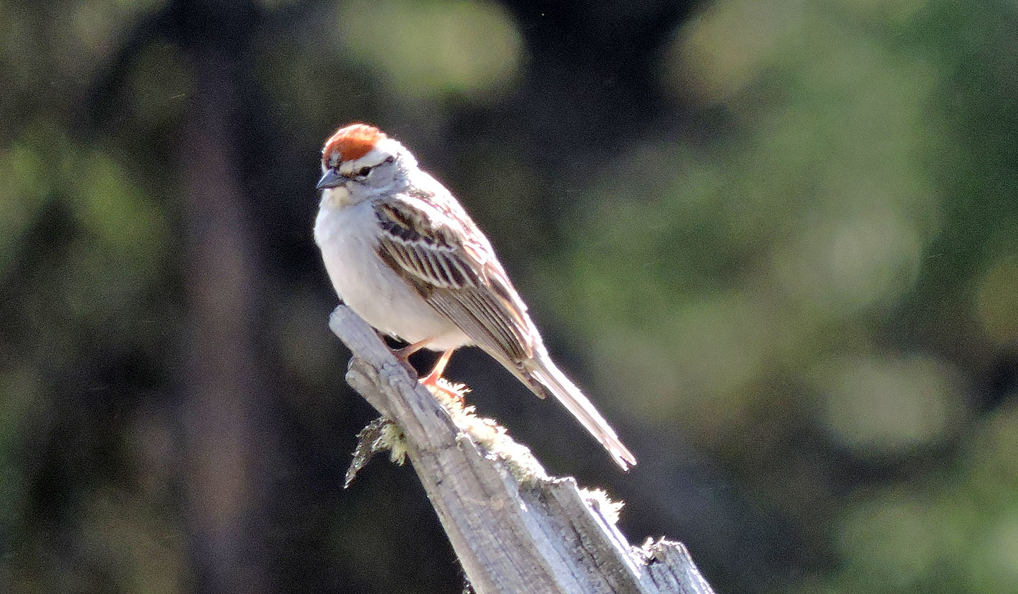
Chipping sparrow
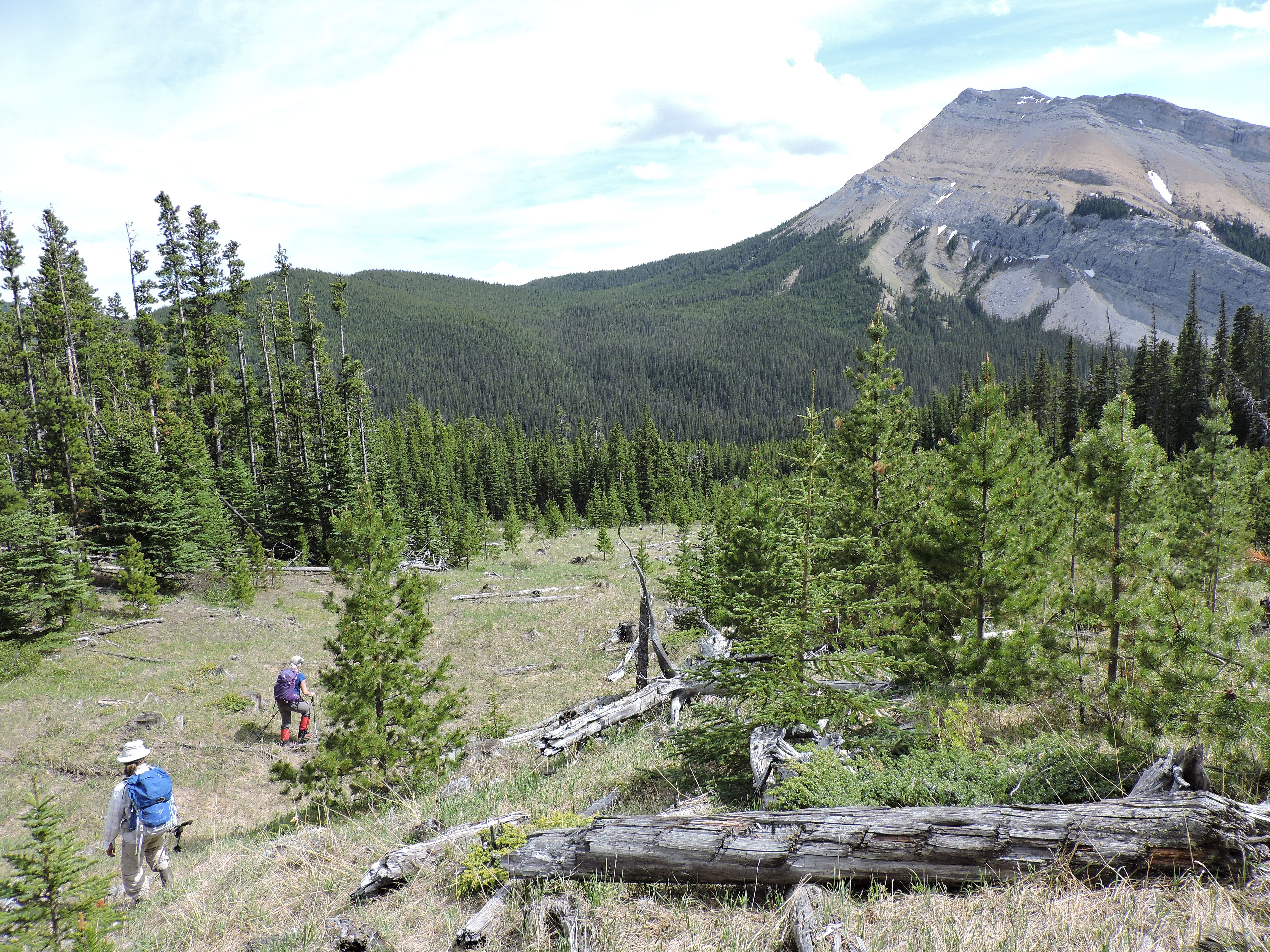
We turned right here and headed to the creek, but we should have kept to the cutblock and gone straight ahead
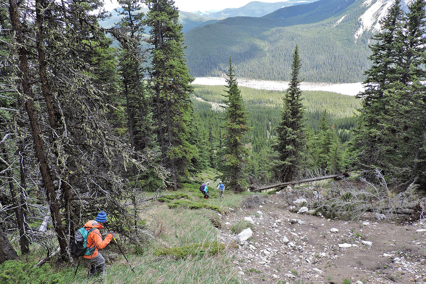
Looking back after crossing the creek

After crossing the creek we headed to the end of the cutblock, keeping right to gain the ridge ahead
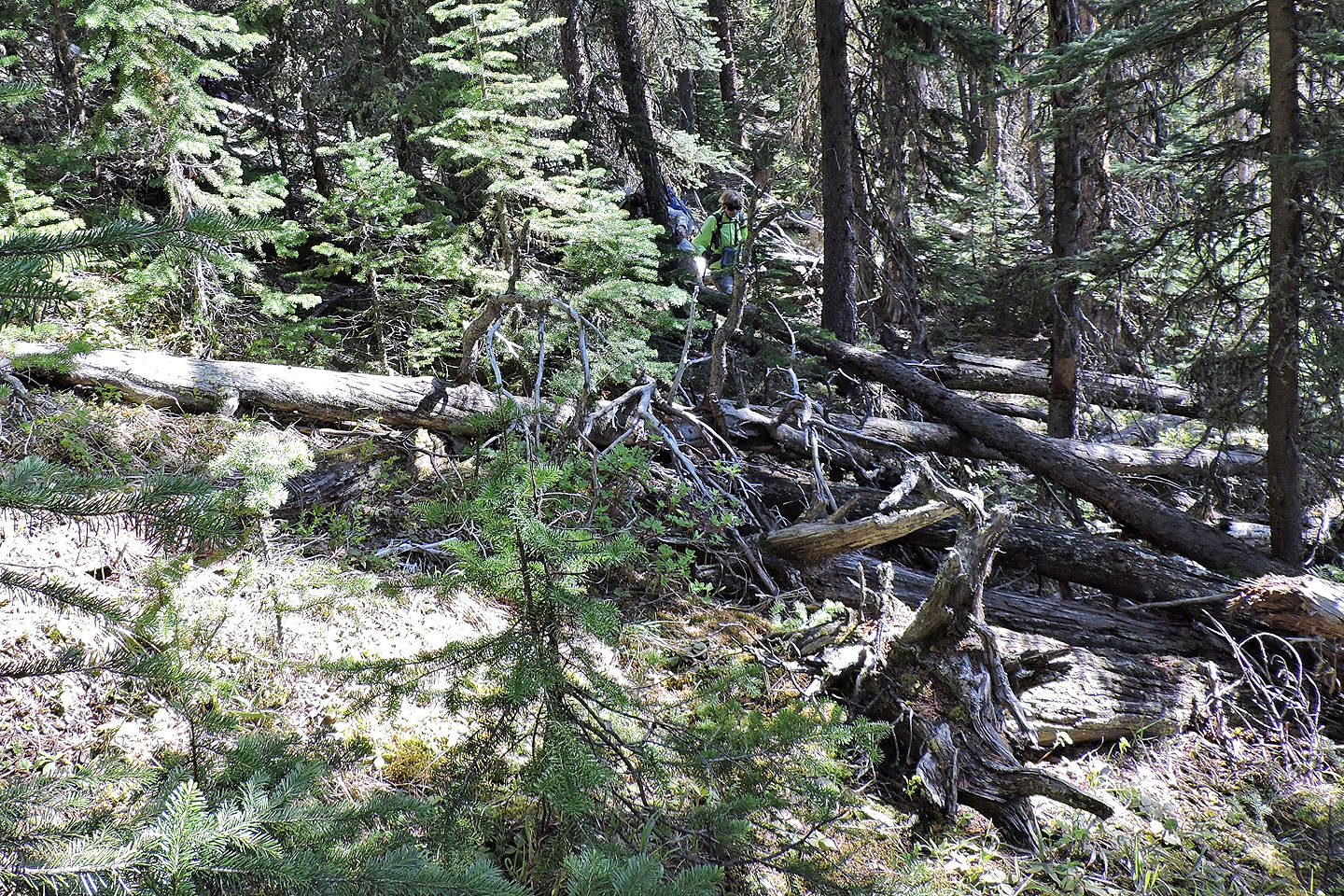
We encountered a lot of deadfall as we started up the ridge
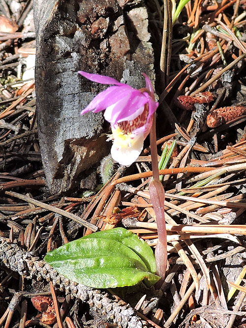
Calypso orchid
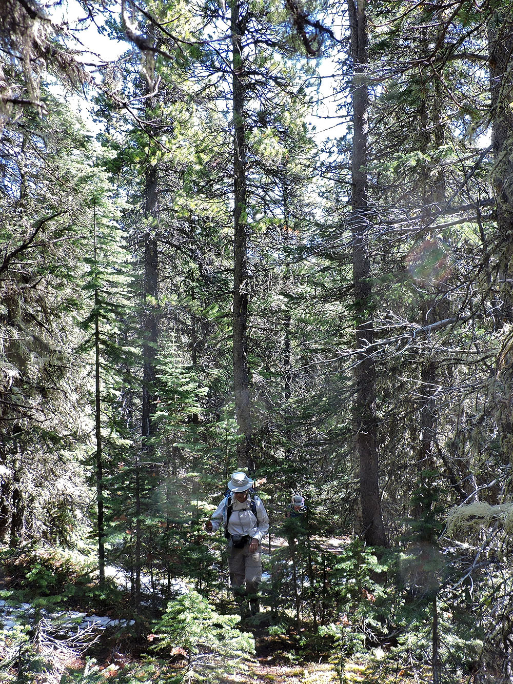
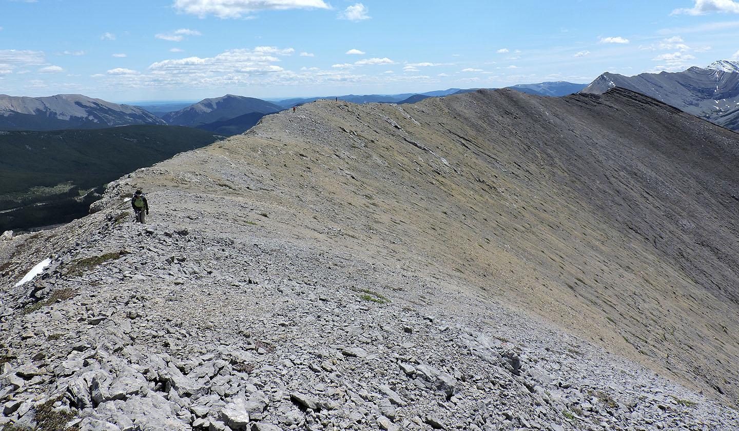
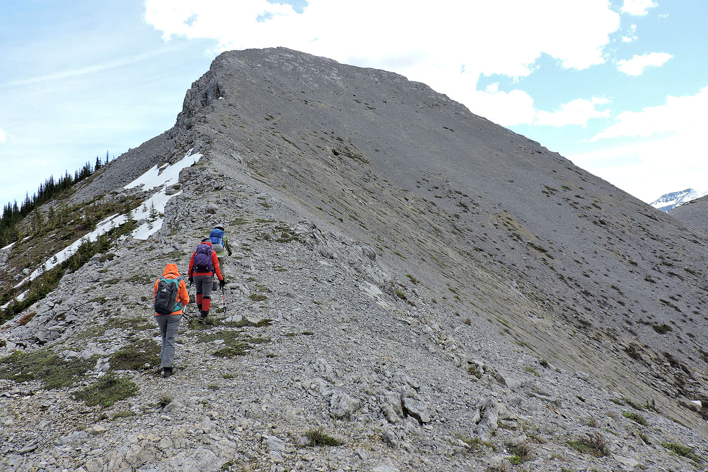
Travel was easier when we reached the ridge crest
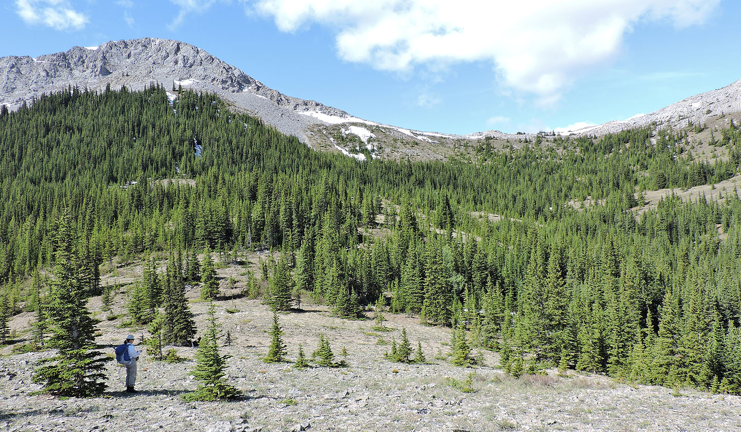
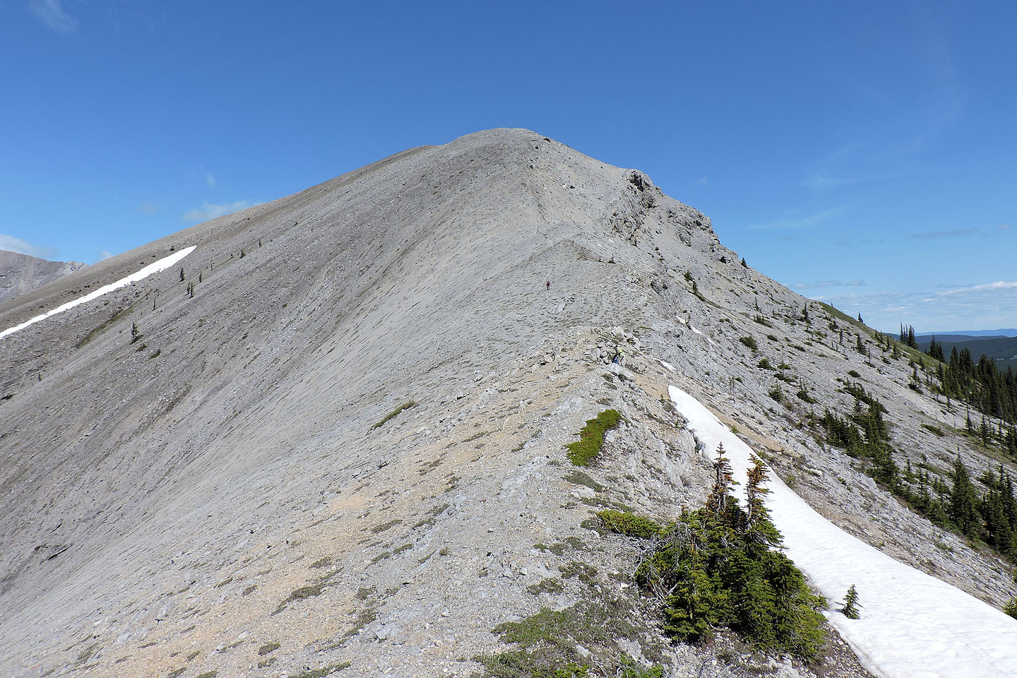
Finally we reached a break where we could see Peak 42
To reach the col, we kept left of the drainage
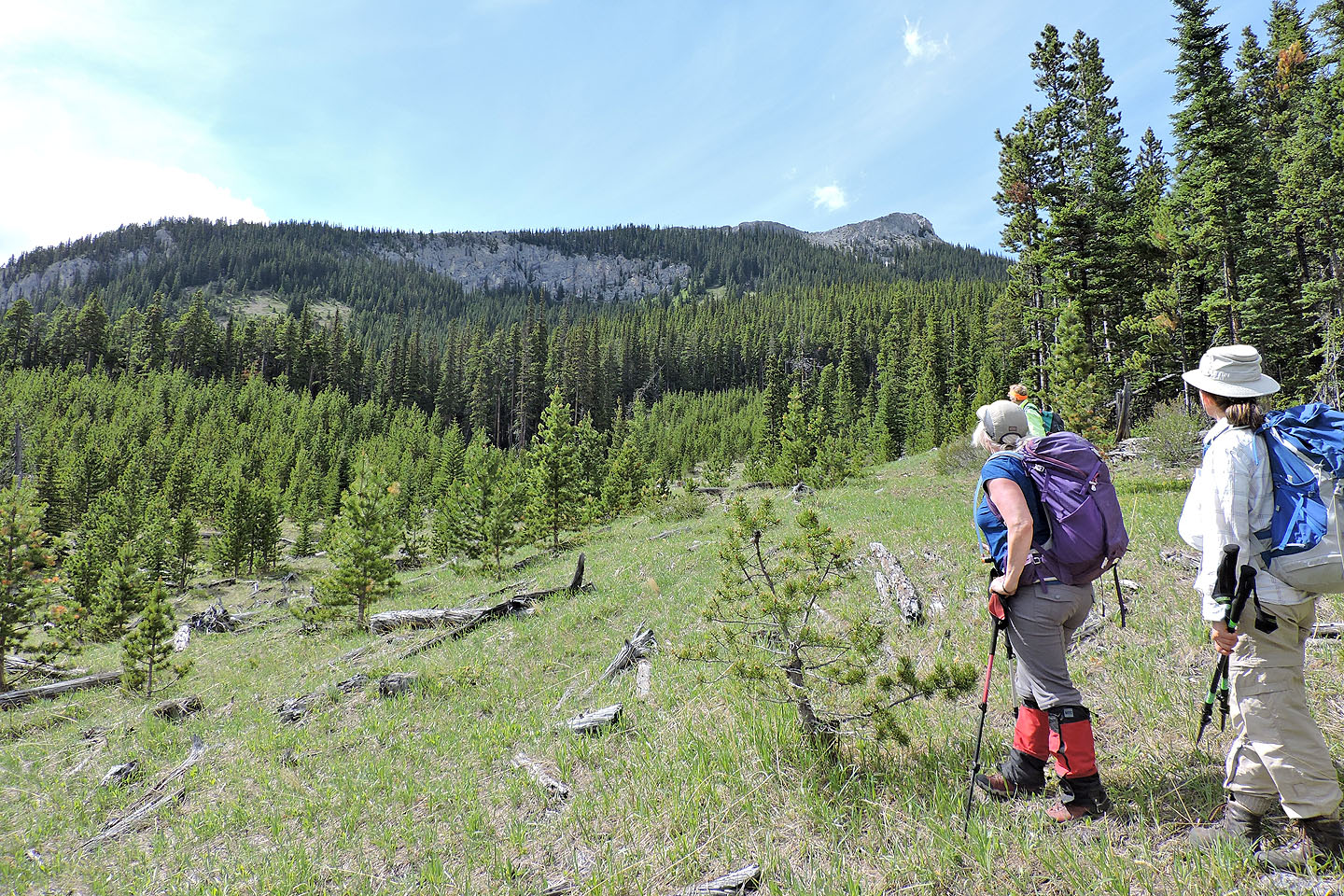
We had a clear view of both peaks
After more bushwhacking we reached the open slope below the col
Heading to the col
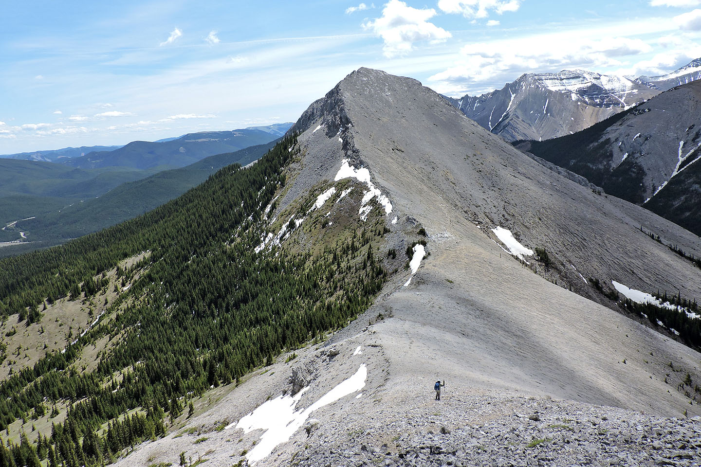
After our break, Christine M. started up Peak 42 well ahead of us
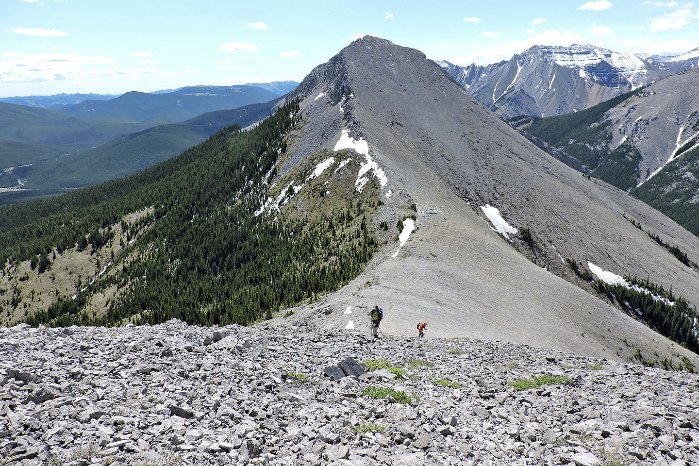
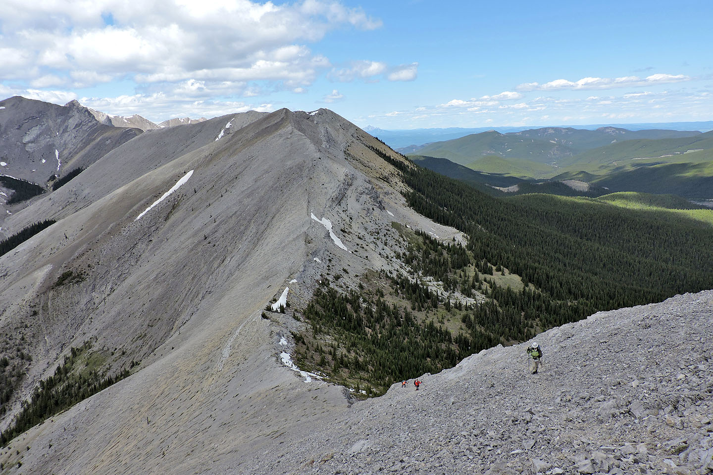
Looking back at 43
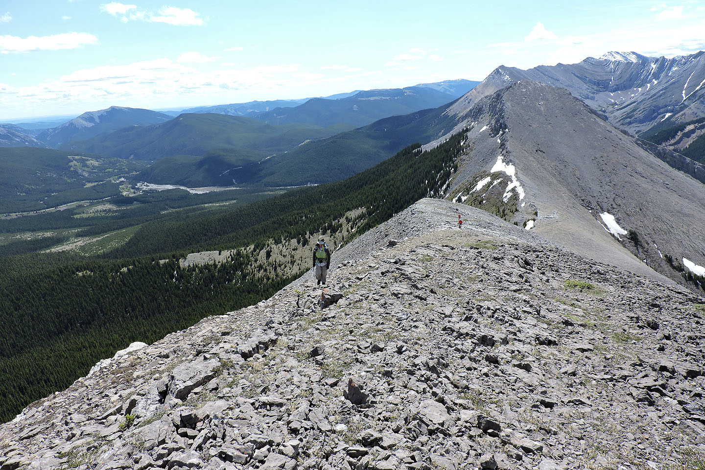
Following the ridge crest to the summit of 42
A cairn marks a false summit. The true summit is the bump left of centre.
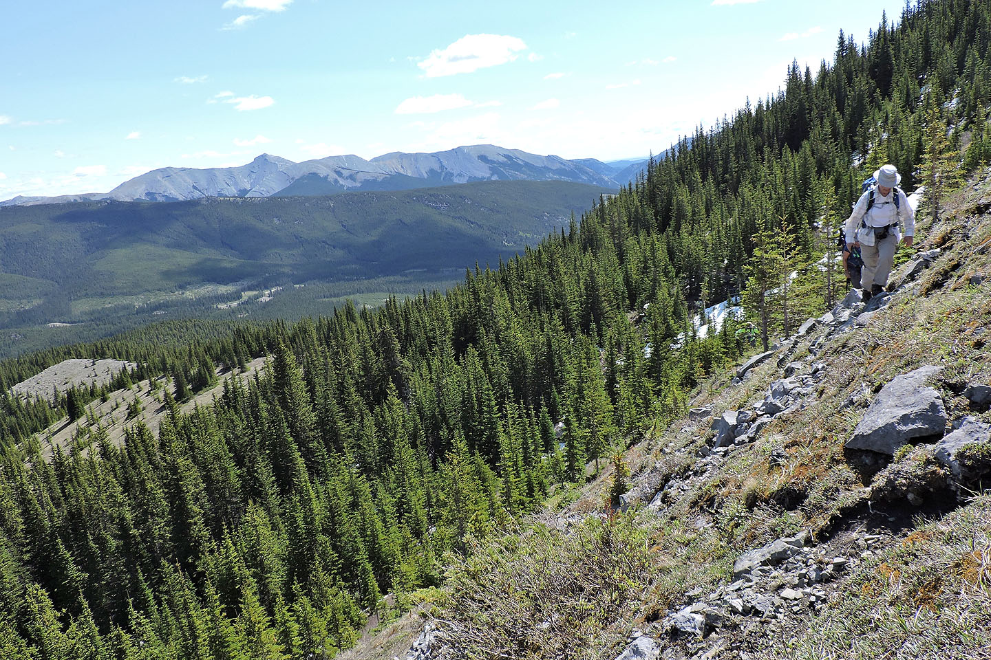
Looking back along the ridge just before the summit
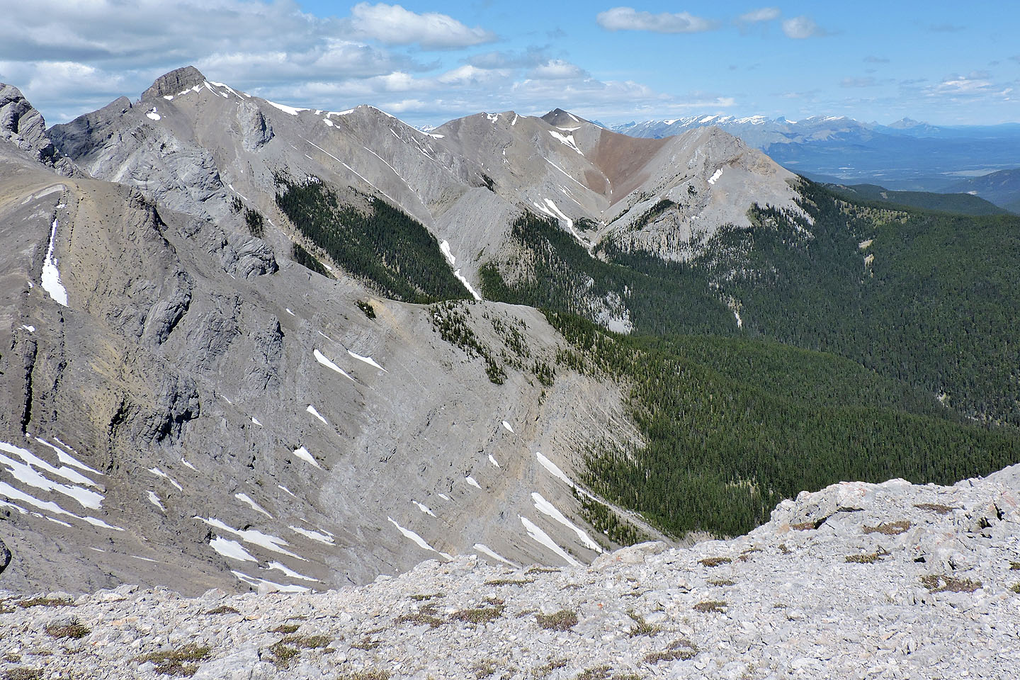
View of Tiara Peak (left) and Belmore Browne Peak (right) from the summit
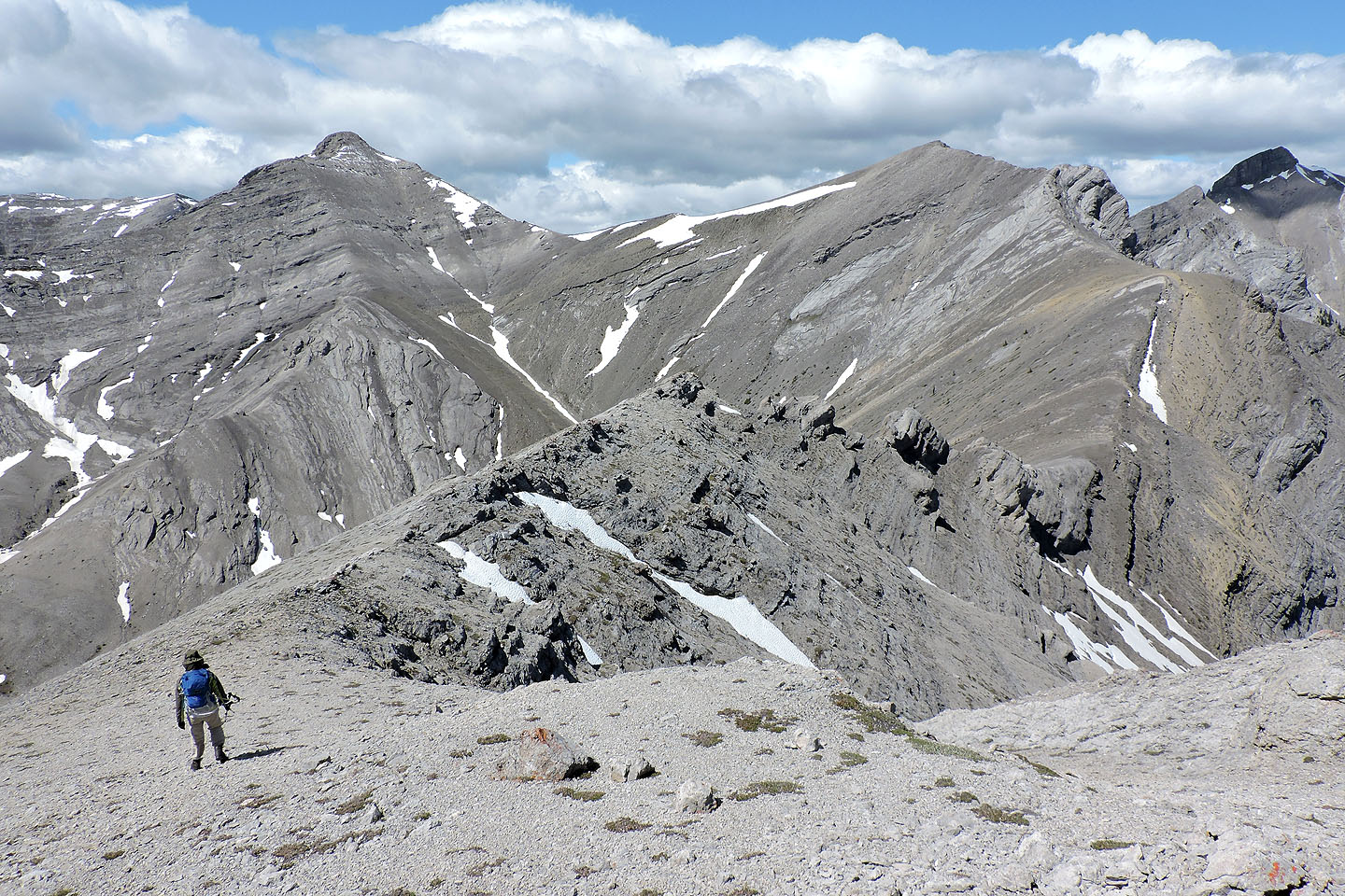
Zora and I continued along the ridge to see the olistoliths
Peak 40
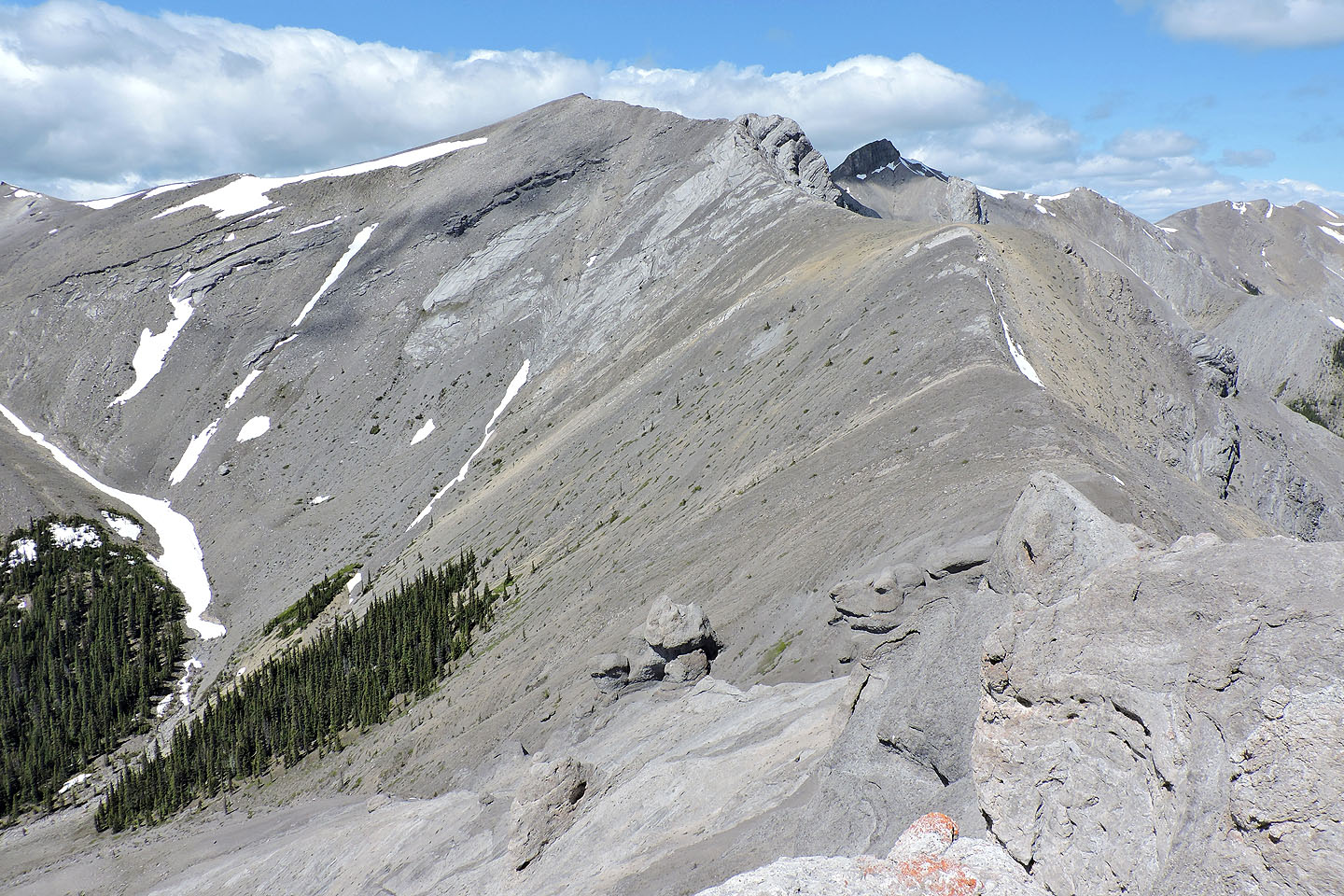
Peak 41 and two olistoliths
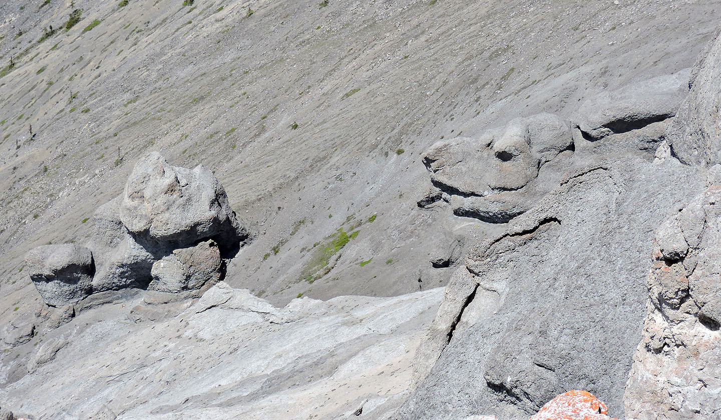
A closer look at the olistoliths
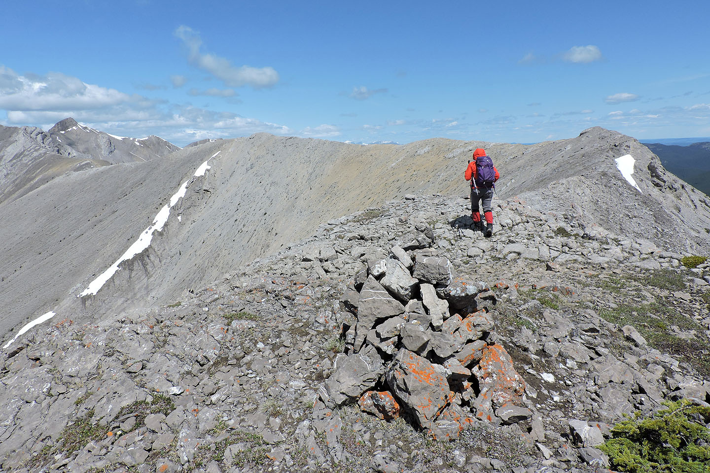
Going back along the ridge to Peak 43
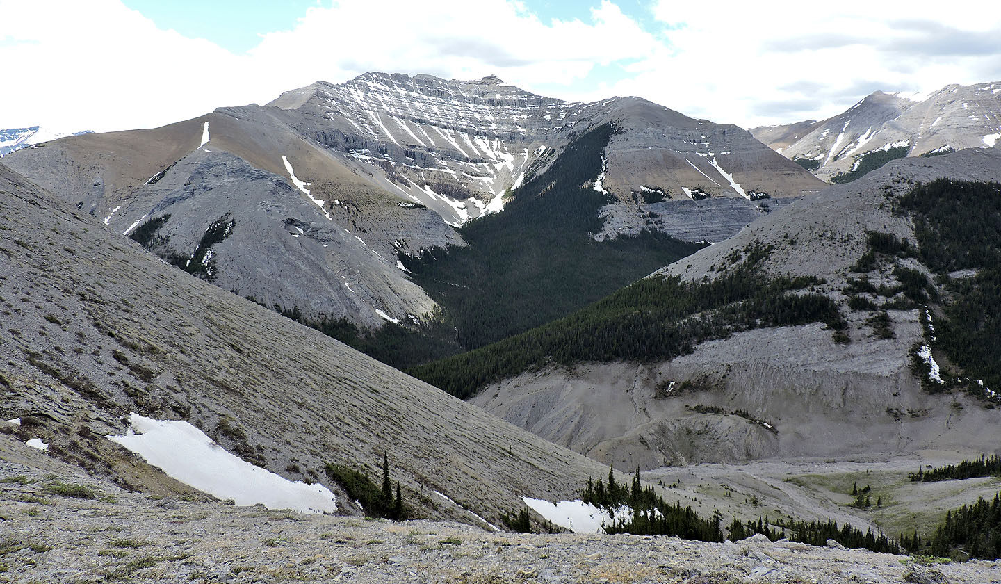
Mount Bryant lies nearby to the southwest
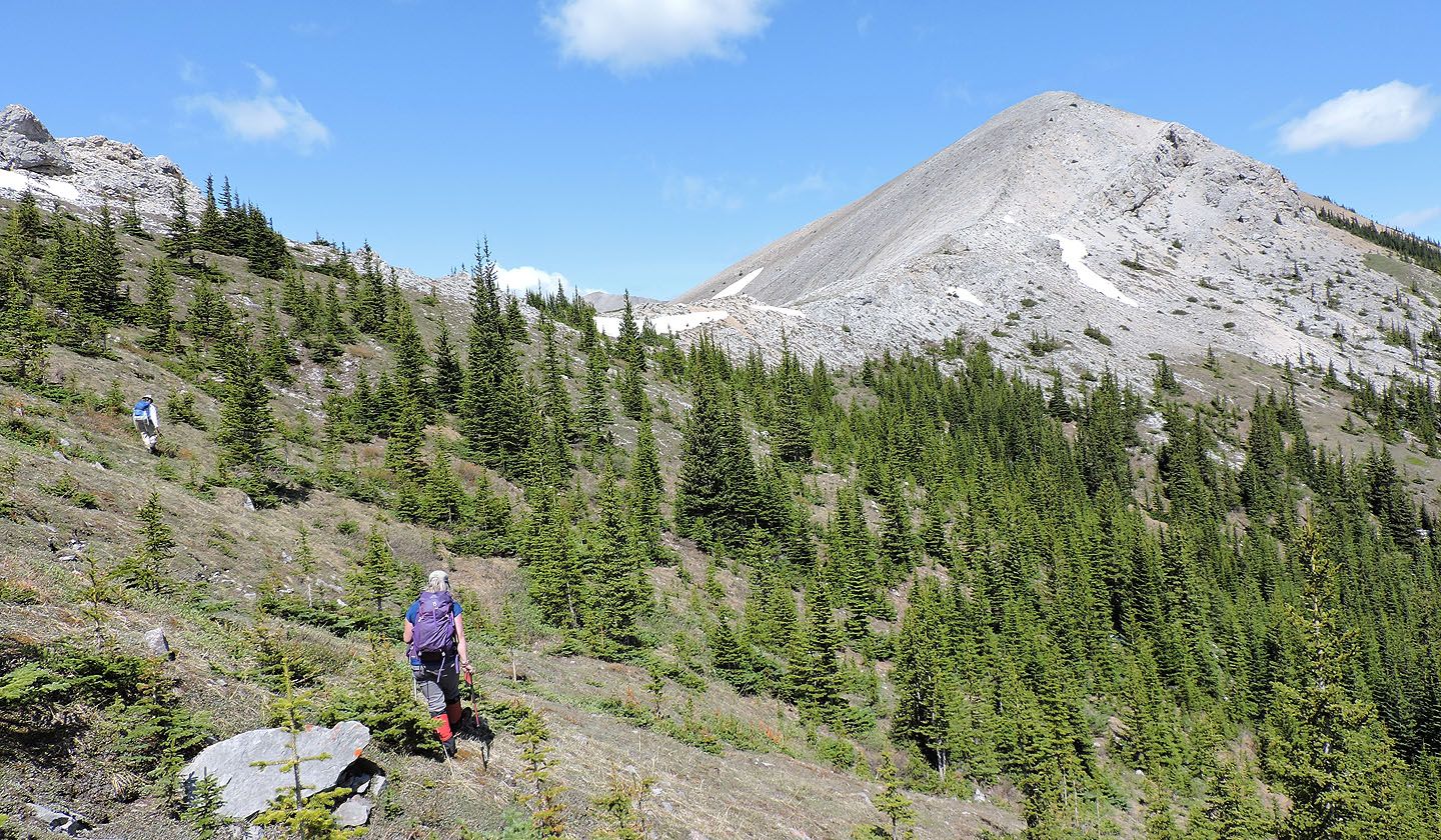
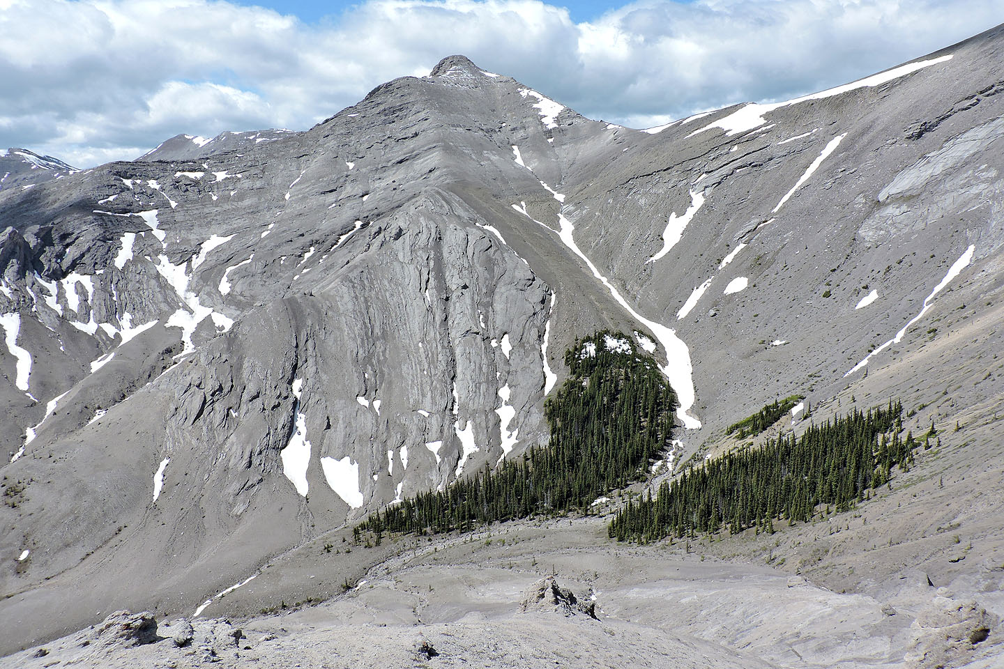
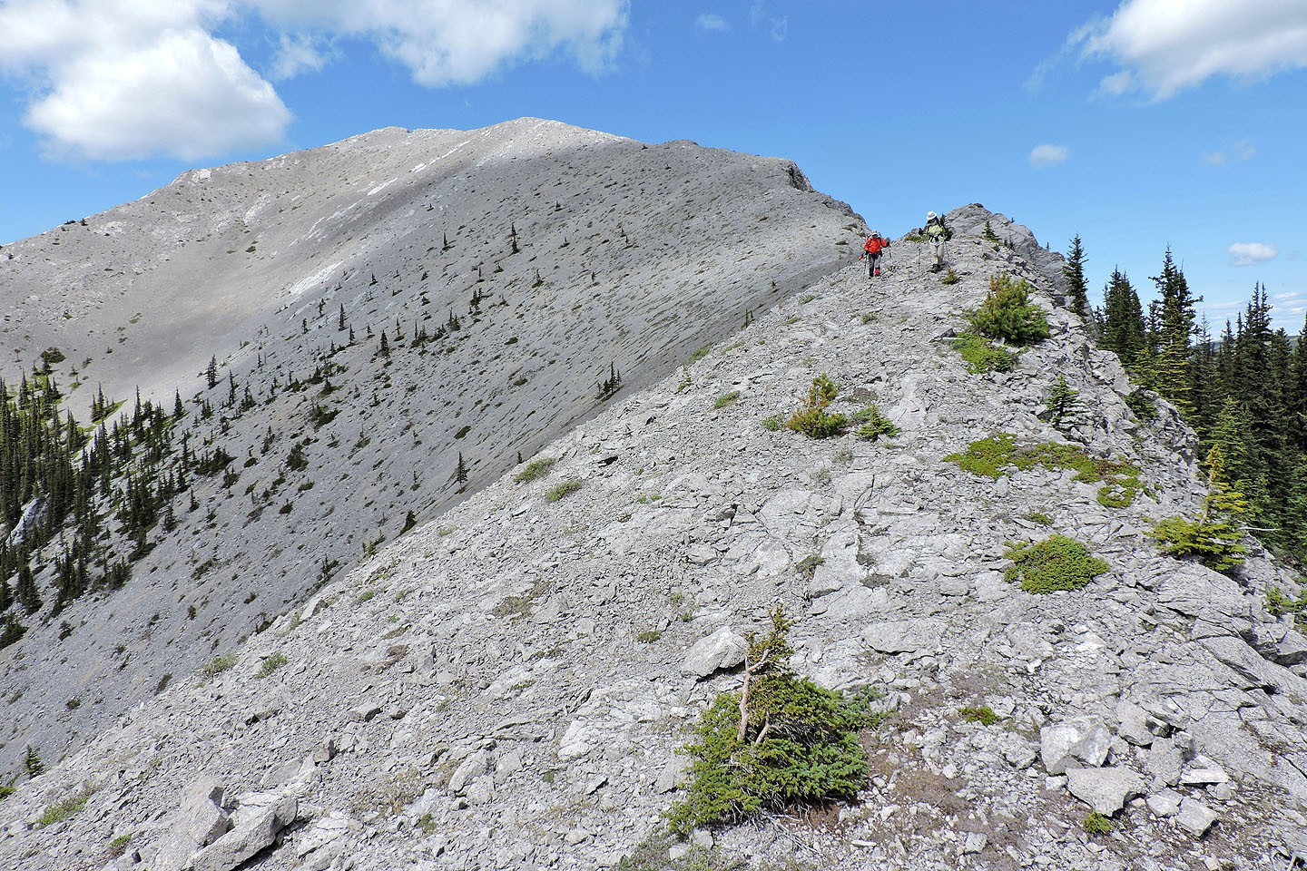
Starting up Peak 43
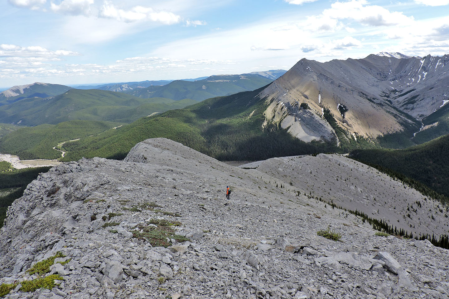
Looking back from near the summit
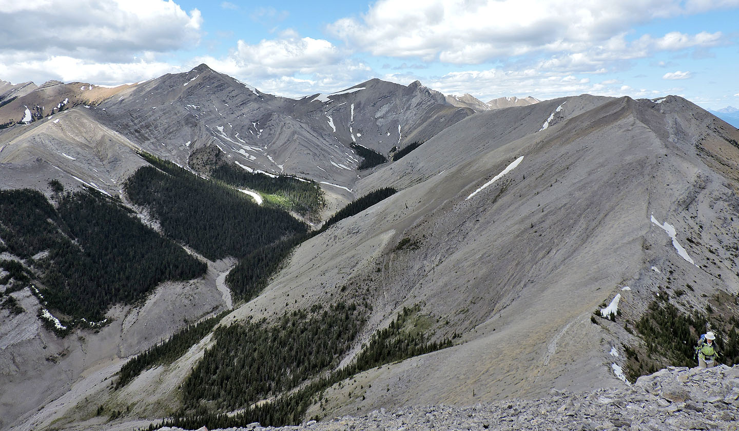
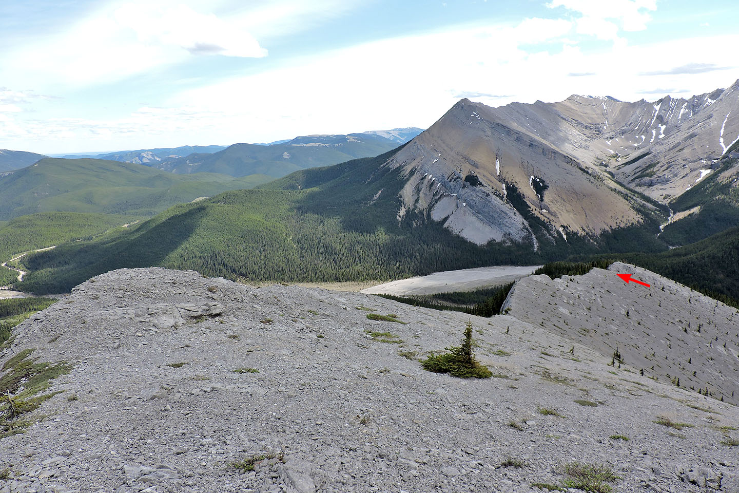
Peaks 40, 41 and 42 seen from 43
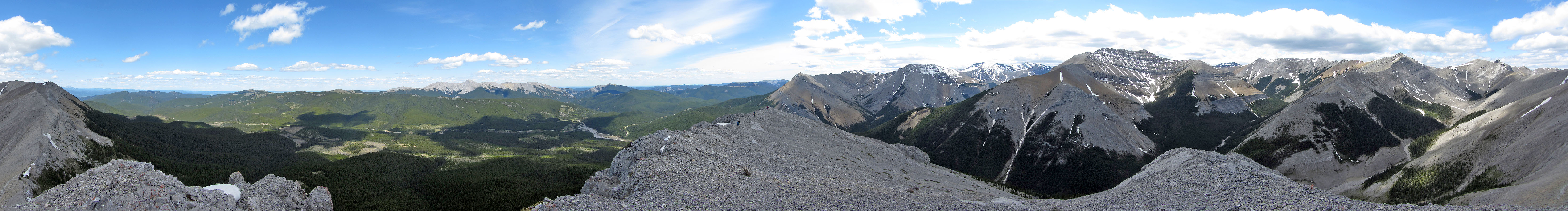
Panorama from 43
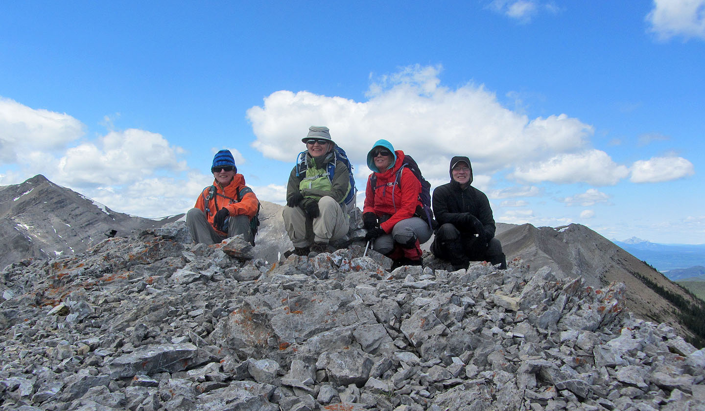
Christine G., Zora, Christine M. and me on the summit
Heading down the south ridge
We exited the ridge at a notch. Compression Ridge in the background.
Looking back along the ridge from the notch
Starting down the steep slope on the other side of the notch
After dropping left and down, we hit the top of a long, narrow clearing running alongside a drainage
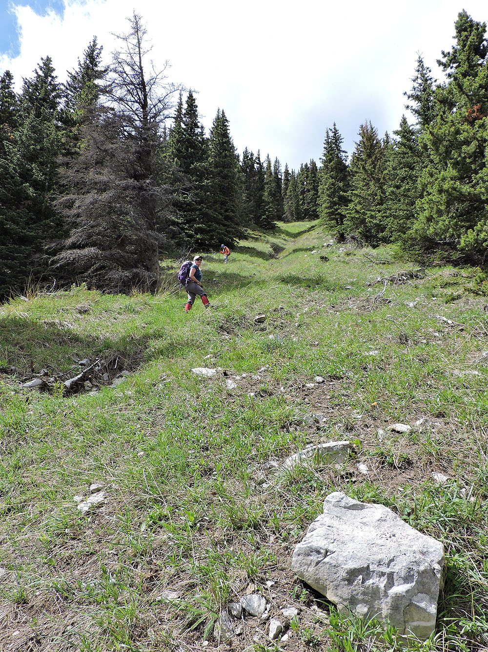
Had we missed this grassy strip, we would have bushwhacked a long way
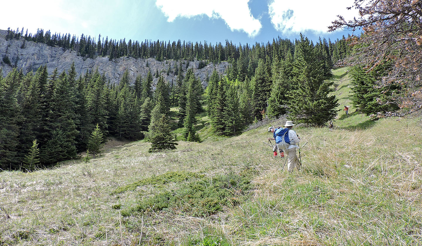
The strip leads to a large clearing
After the end of the clearing, and after some bushwhacking, we reached another cutblock
Looking back at Peak 43
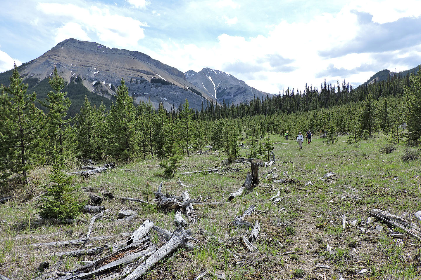
Walking along the road back to the T-intersection

82 J/15 Bragg Creek