bobspirko.ca | Home | Canada Trips | US Trips | Hiking | Snowshoeing | MAP | About
Belmore Browne Peak
Kananaskis, Alberta
May 19, 2018
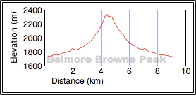
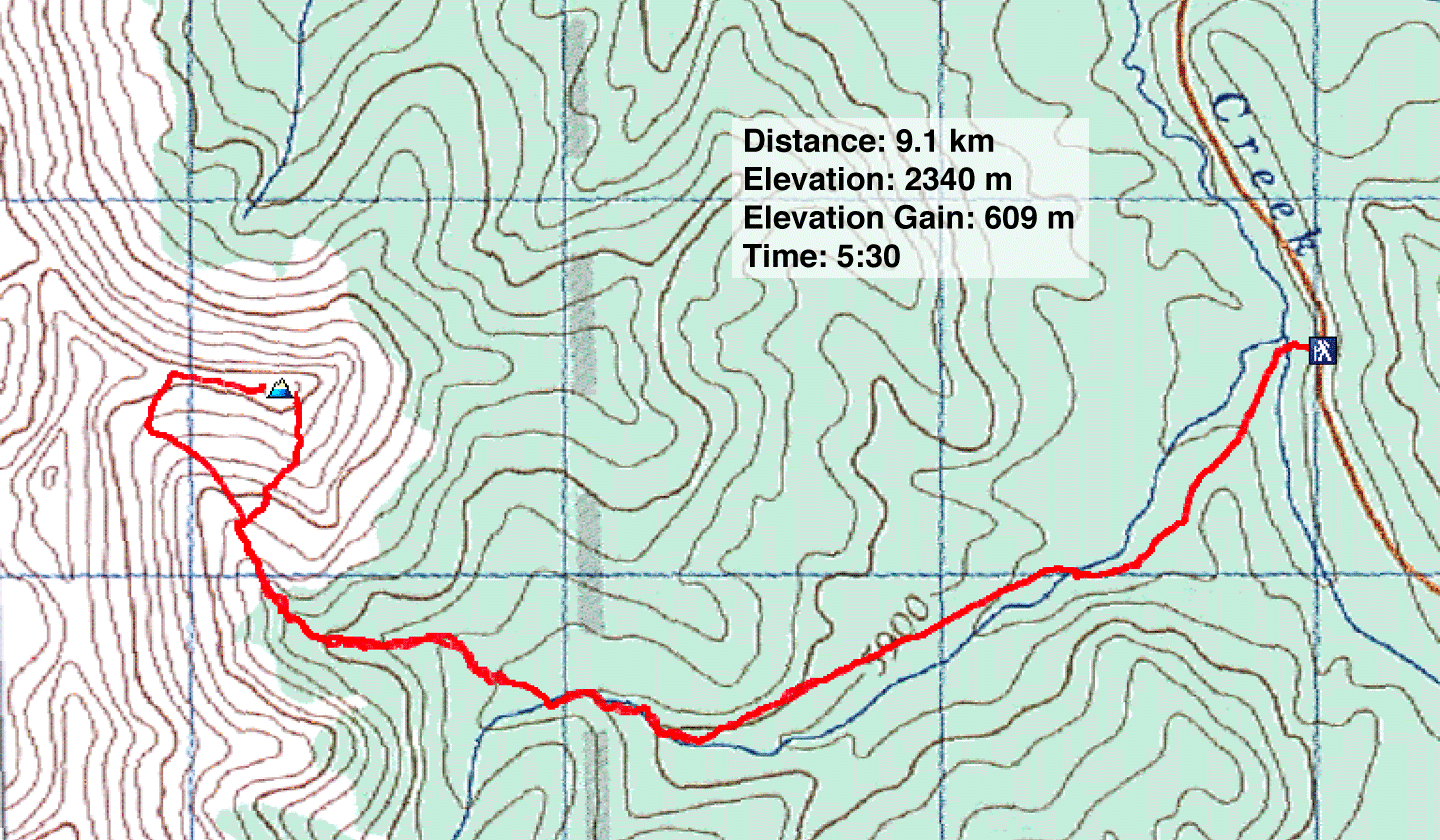
Distance: 9.1 km (5.7 mi)
Cumulative Elevation Gain: 643 m (2110 ft)
Dinah and I had good memories of Belmore Browne Peak when we climbed it back in 2006, and we enjoyed it again this time around. Most of the ascent is on a good trail with the remaining travel divided between a creekbed and a scree slope. We had planned to repeat our 2006 trip to include nearby Boundary Peak, but Dinah was having knee problems, so we decided to limit ourselves to Belmore Browne.
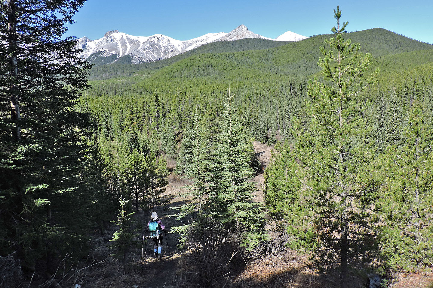
We parked at the trailhead next to a culvert in sight of Belmore Browne. The trail drops down and follows a swath through the forest. We hopped a stream near the start, but farther on there's a wide creek to cross. We didn't like the look of the log crossing, so we skipped across at a shallow spot.
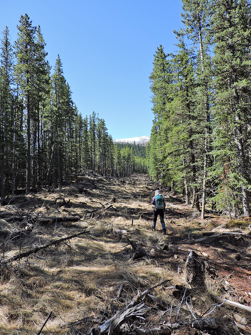
After the creek, the trail climbs a slope on a cutblock. At the top – look for cairns – the trail turns into the trees. It follows a cutline before dropping down to a creekbed.
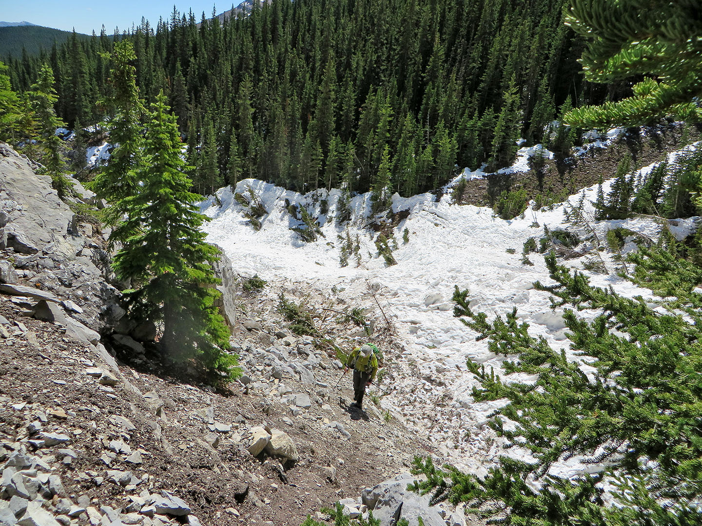
As we followed the creek, the sides rose to form a V-shaped gully. After going around a bend we came across an amazing sight: a six-metre wall of snow! A large avalanche filled the gully. We had never seen anything like it before.
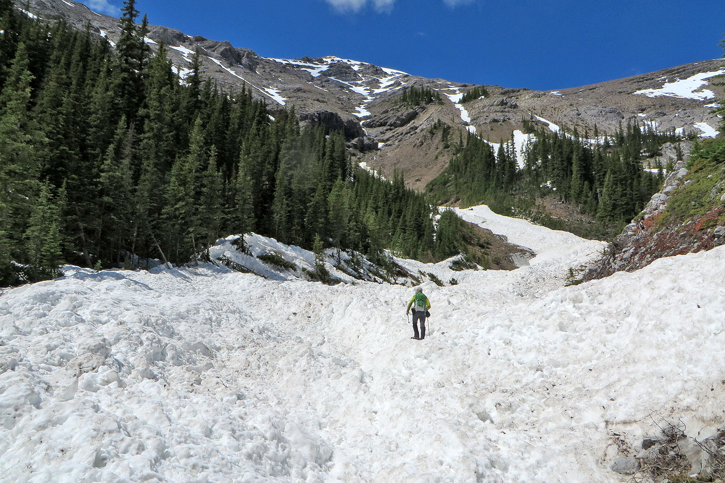
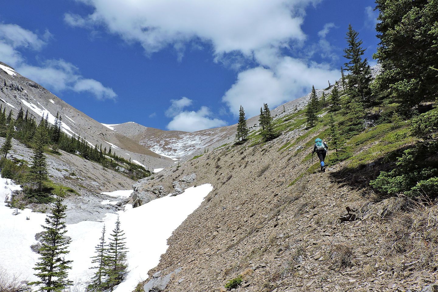
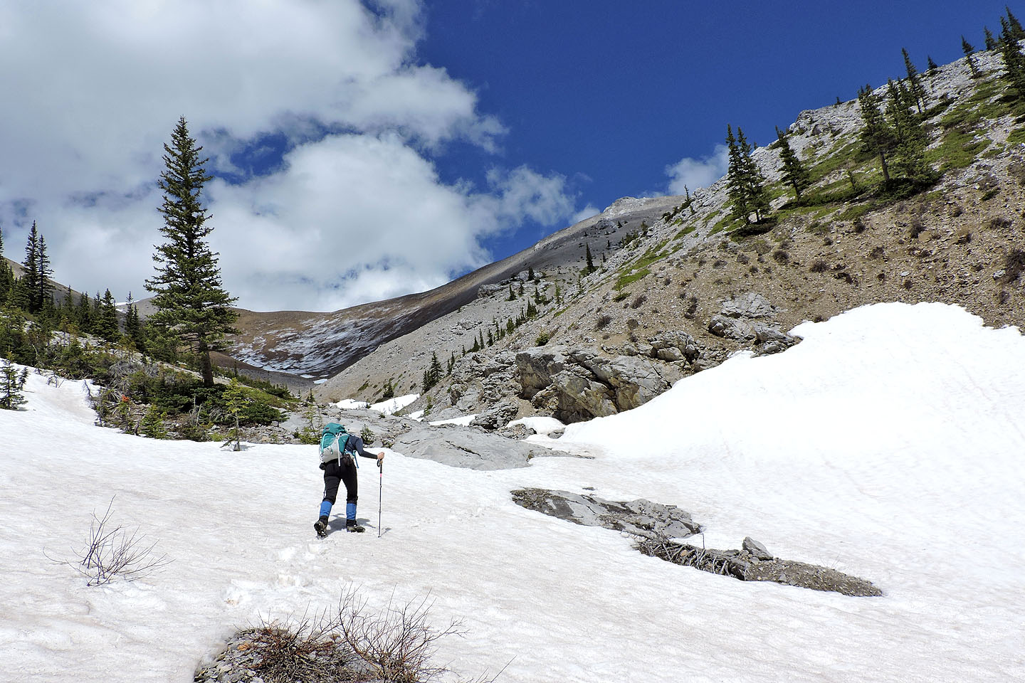
We kept to the right side of the gully, plodding over firm avalanche snow until we came to a trail. We followed it as it crossed and recrossed the drainage before settling into scree on the right side. We left the trail, slogged up the scree slope, and reached the south ridge of Belmore Browne. (In retrospect, we could have exited the trail earlier and caught the ridge lower down.)
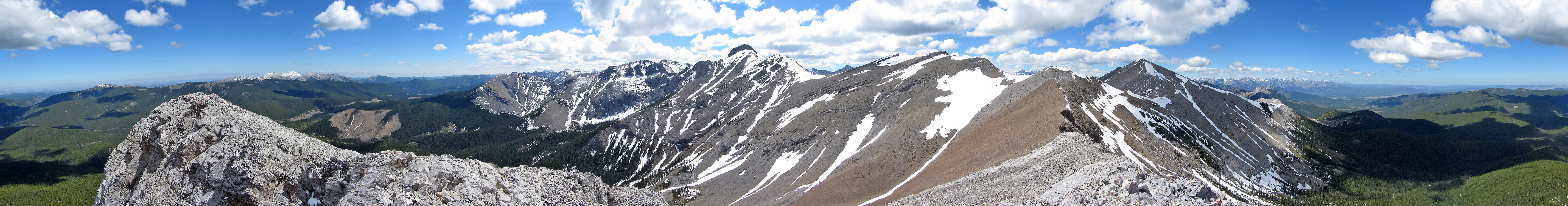
We followed the ridge to the summit or rather summits. There are two summits separated by a fissure. We kept left, circling until we found an easy spot to ascend the west summit.
This being the first weekend that the road, Powderface Trail, opened for the season, we weren't surprised to find hikers on Belmore Browne. We also spied others heading to Tiara Peak and a large group on Boundary Peak.
After a short stay, we followed the west ridge to a col. The dark scree below provides a fast descent back to the gully trail. On the way back, we were again awestruck by the avalanche in the gully. A testament to a snowy winter, It'll be a while before all that snow melts.
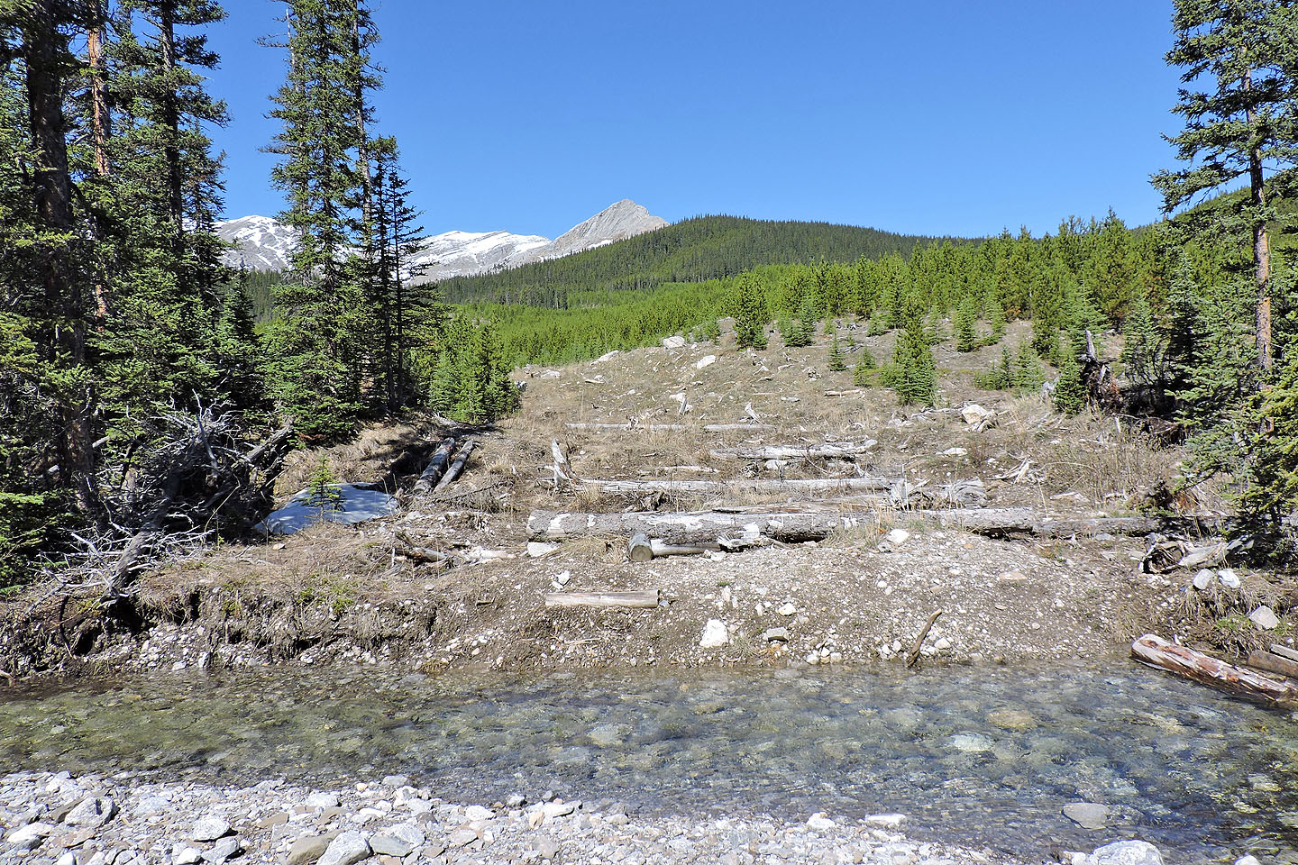
View from the trailhead. Belmore Browne appears as a rocky point in the centre.
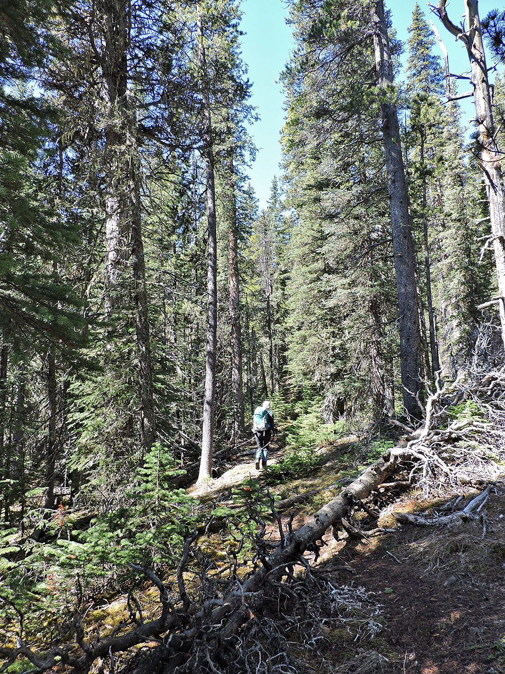
We followed the trail up a swath in the forest
The creek can be crossed on logs or at a shallow spot
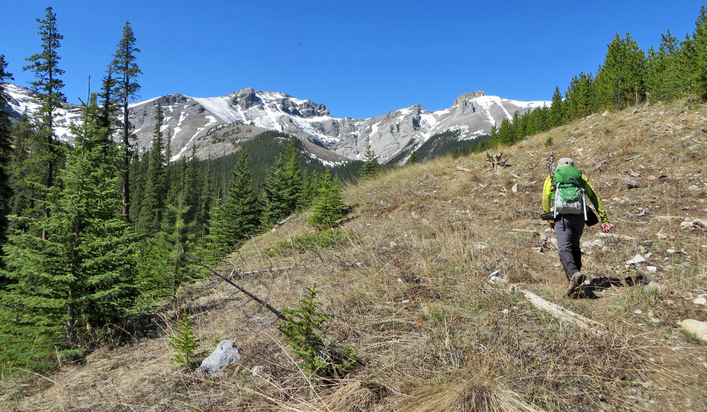
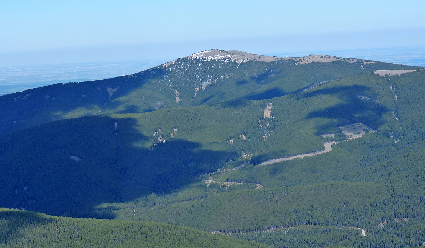
The distinctive summit block of Tiara Peak is on the right
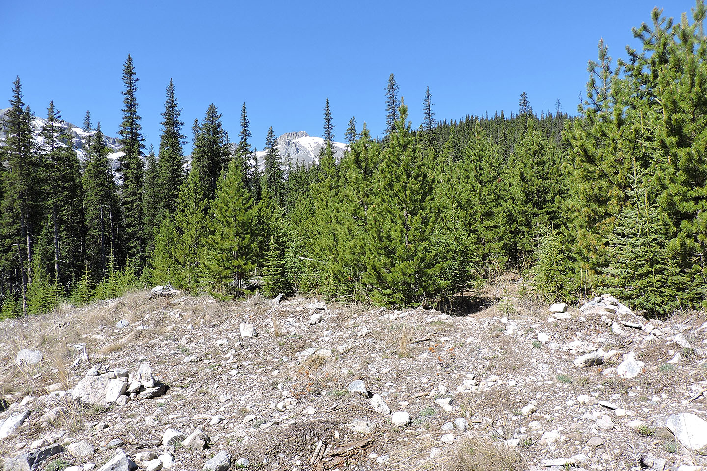
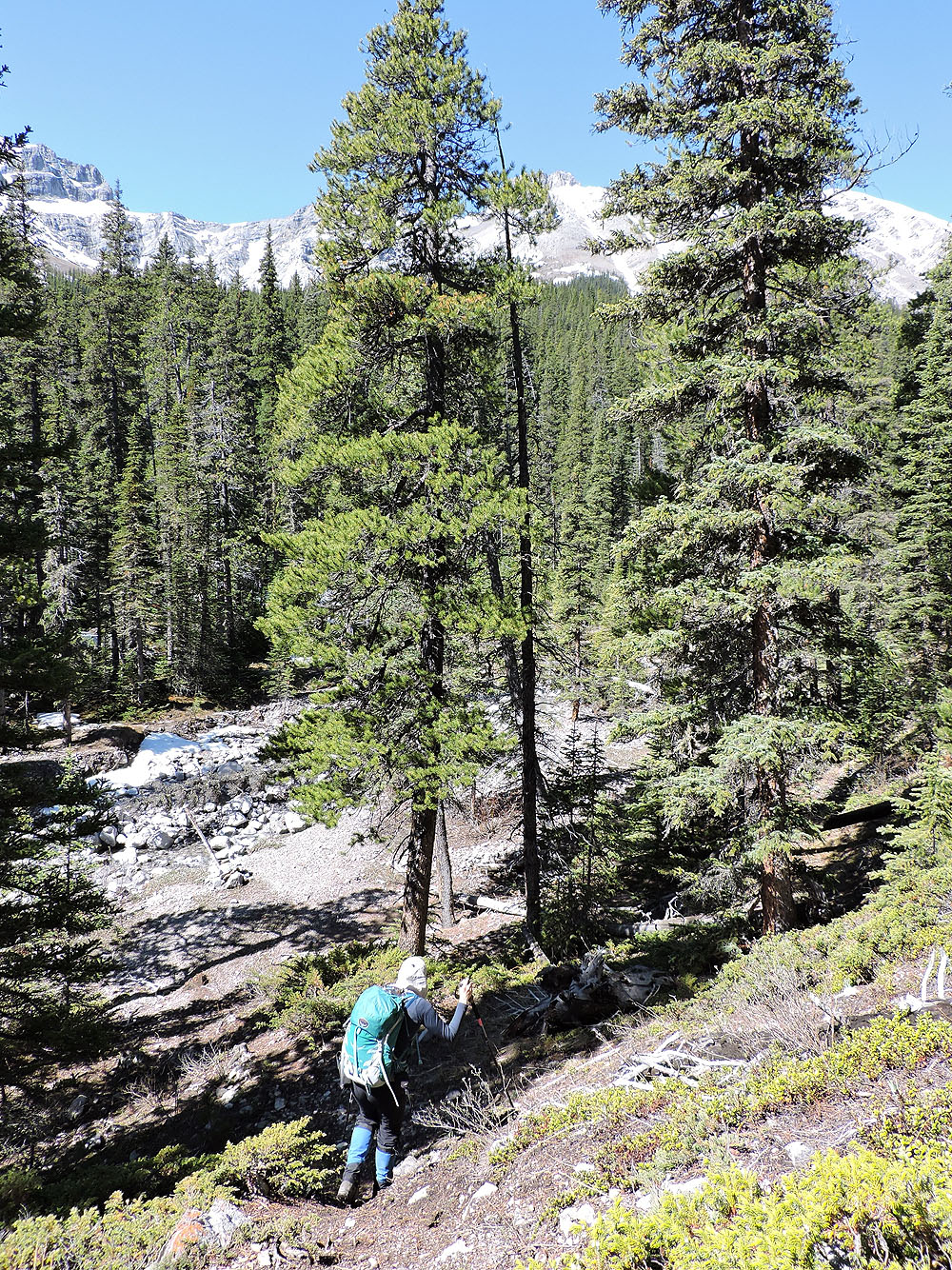
The trail enters the trees on the right (look for cairns)
Following the trail up a cutline
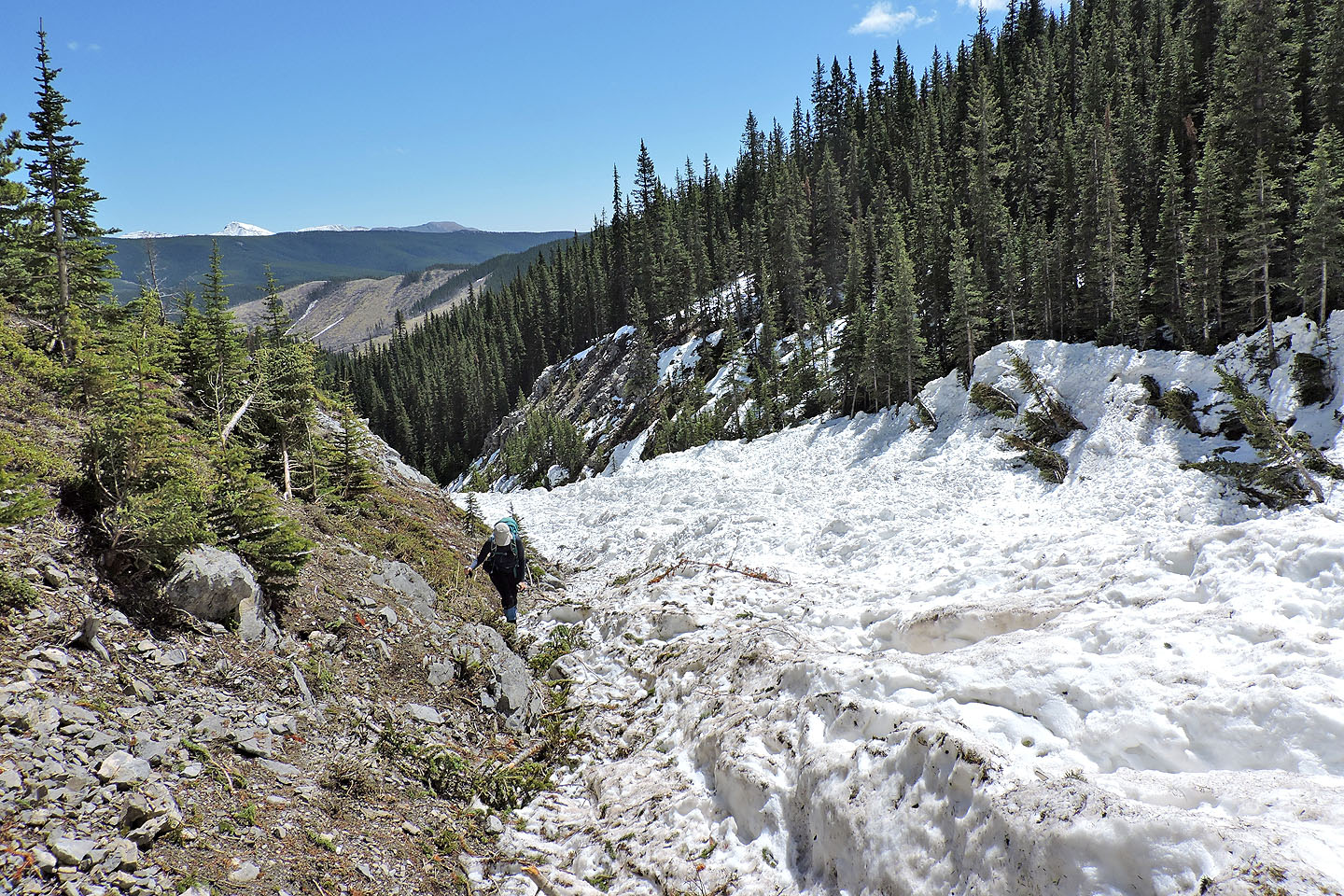
The trail drops down to a creek
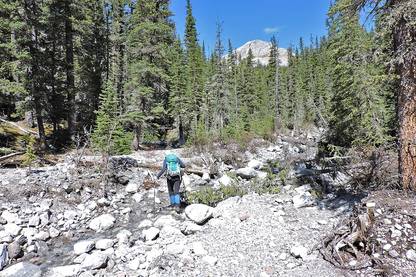
We crossed the creek a few times
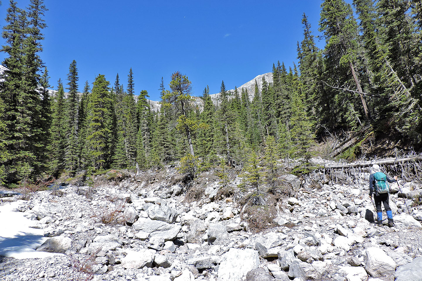
When we came to a fork, we kept right
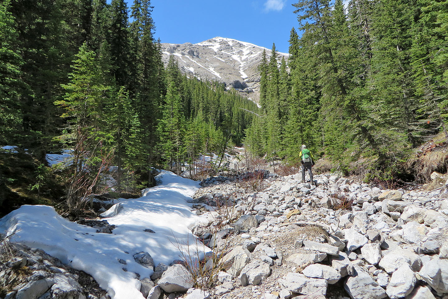
Continuing up the drainage
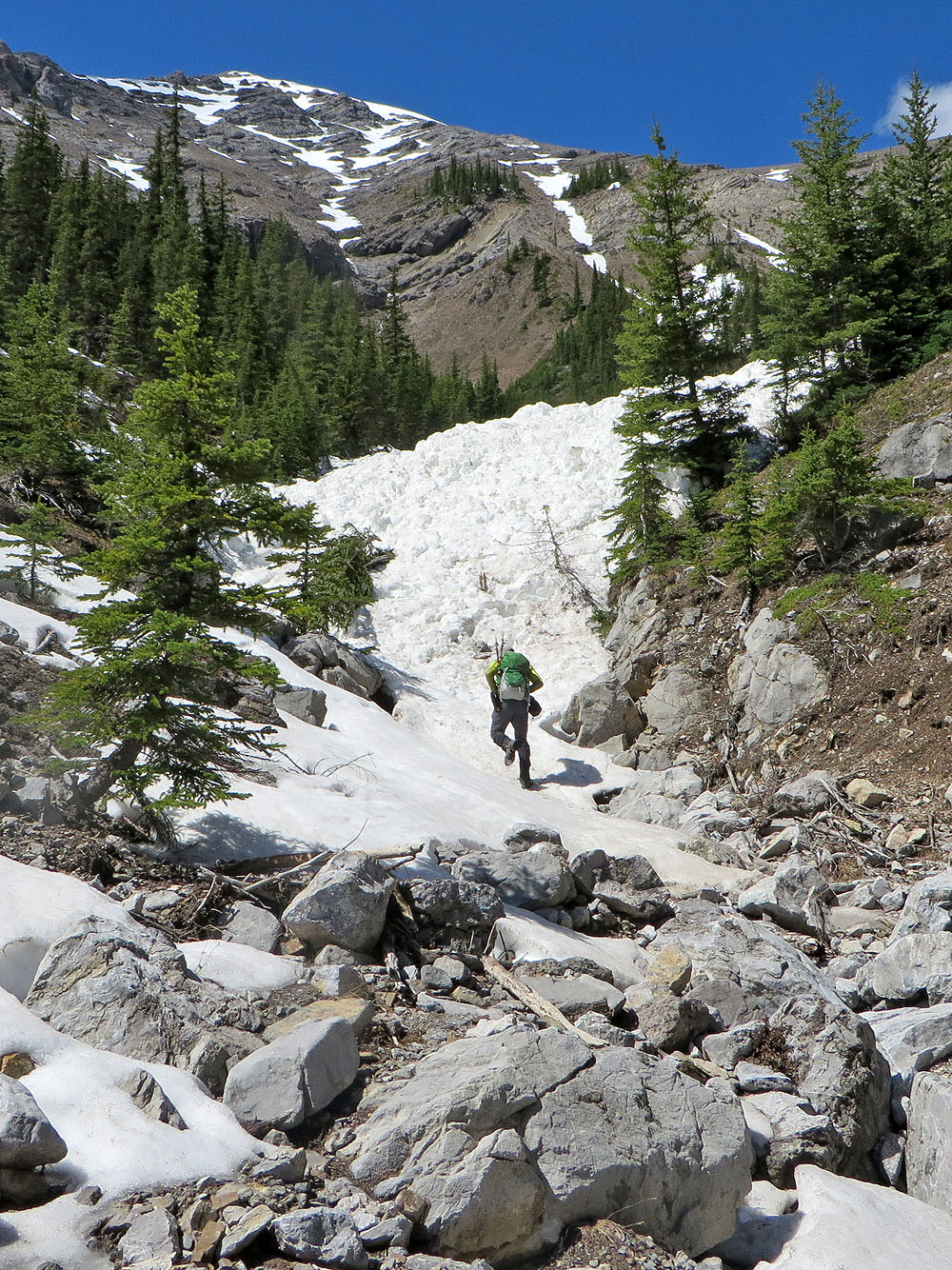
An avalanche filled the gully ahead
Hiking up the snow-filled gully
Looking back
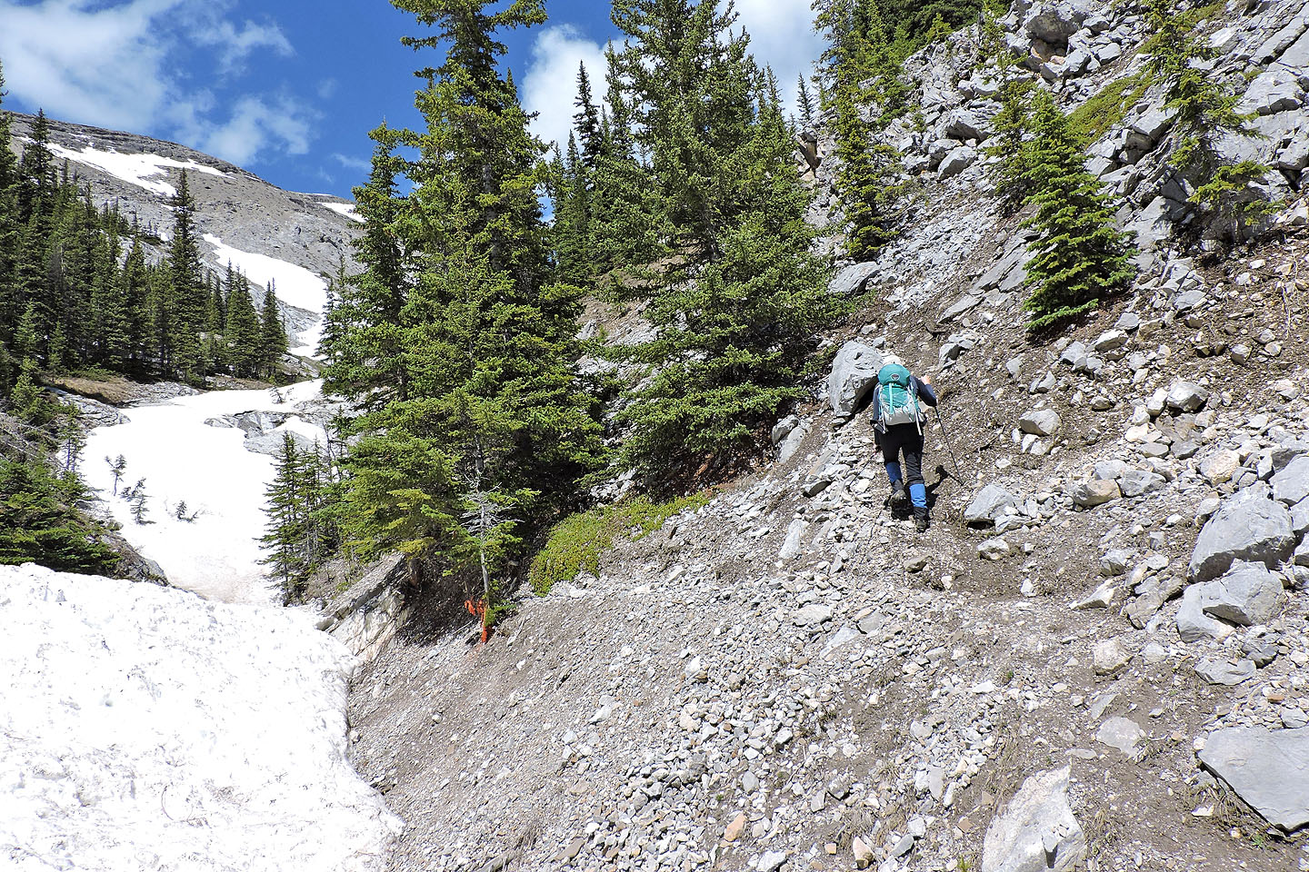
The trail leaves the gully at this point
We left the avalanche behind
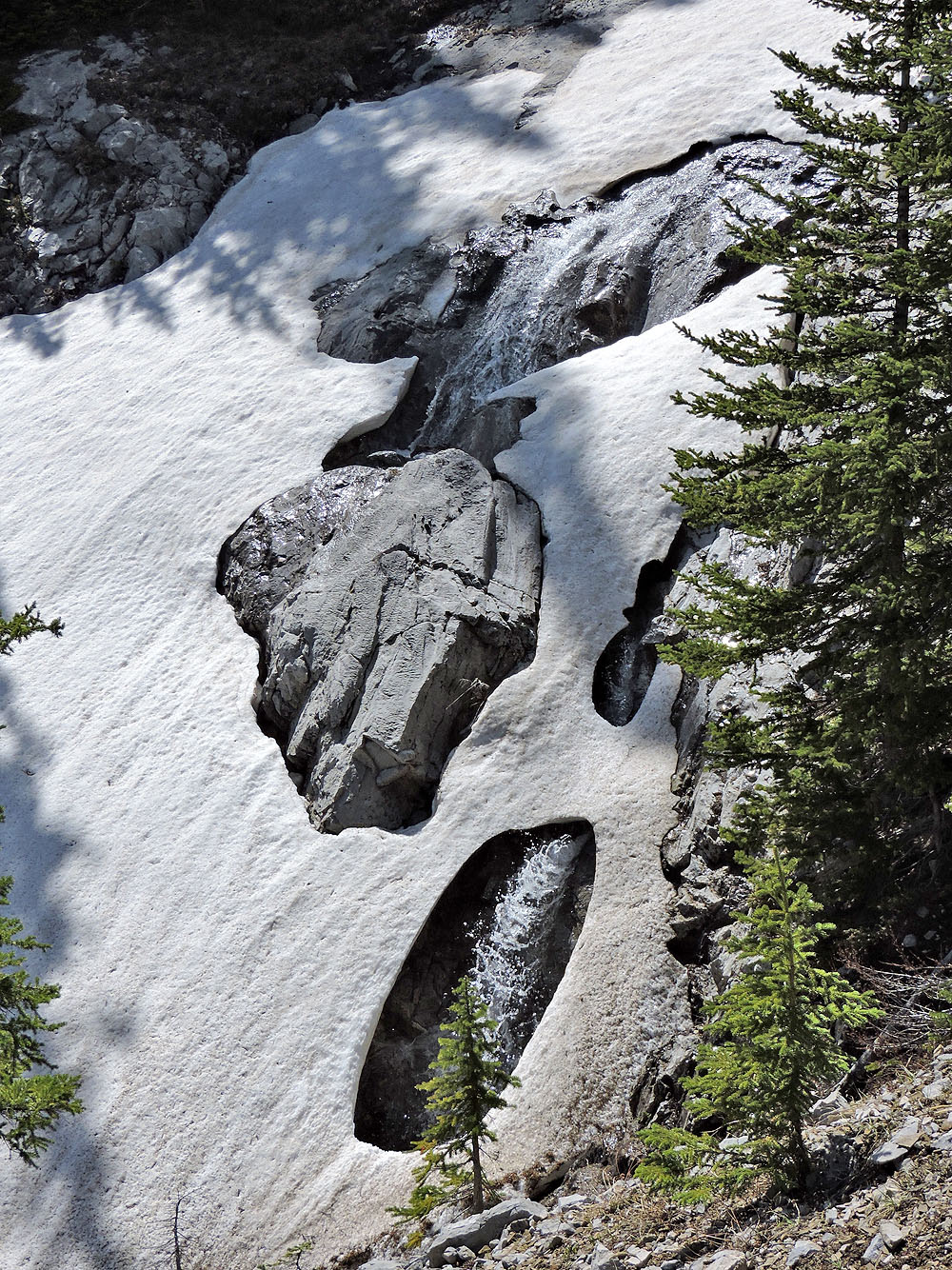
Snow partly hides a waterfall
The gully opens up
The trail crosses the gully but we'll soon leave the trail to climb the slope on the right
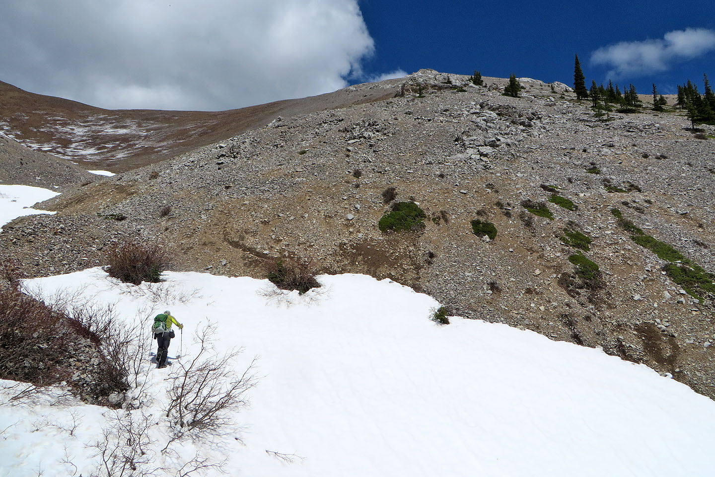
When the trail crossed to the other side it looked like a good place to start up
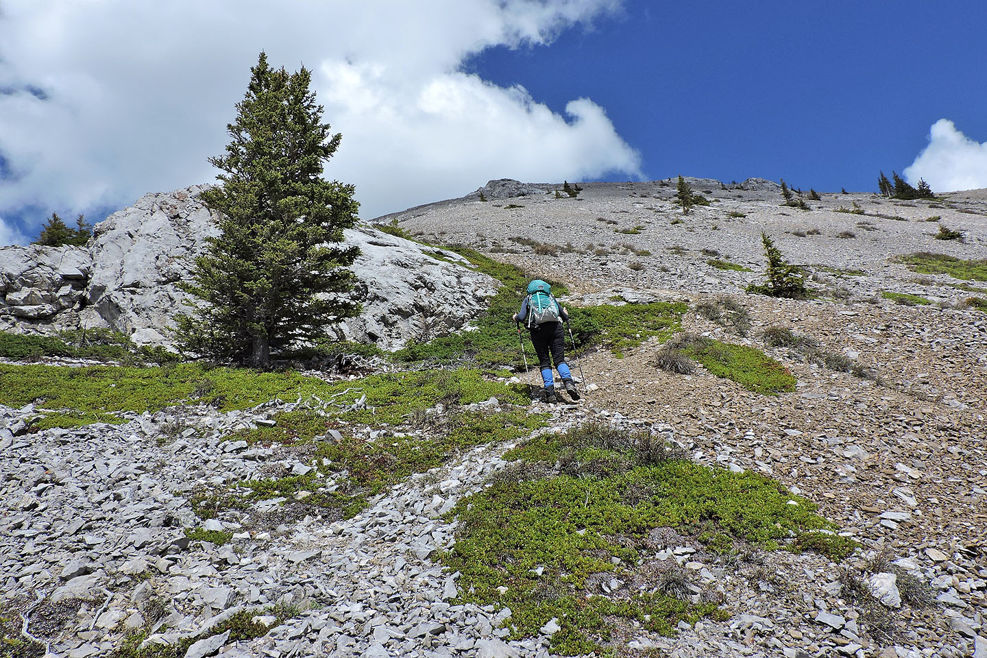
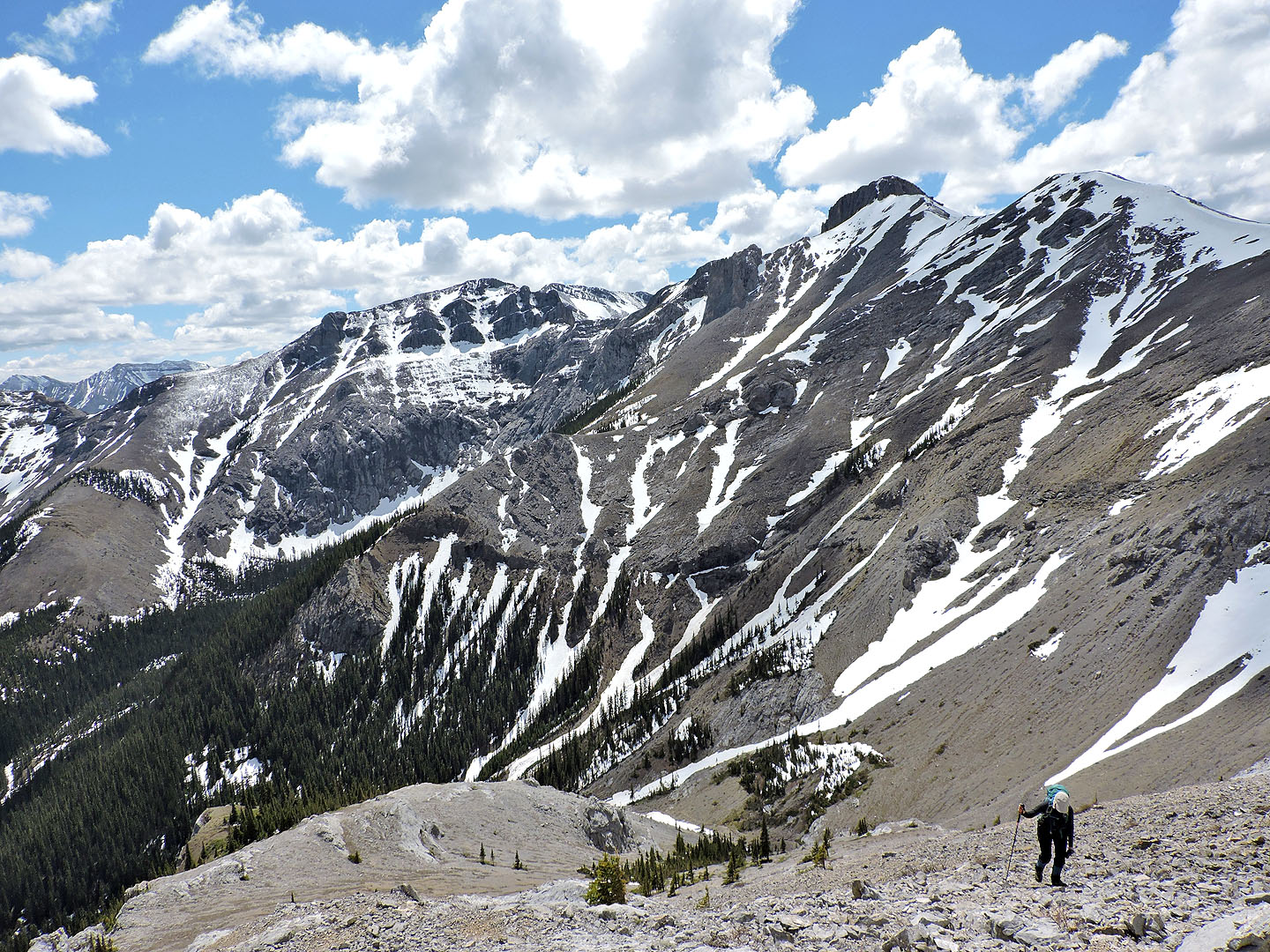
Hiking up the scree slope
Looking back after climbing partway up
Approaching the summit. We'll have to go around to the left side to reach the top.
Tiara Peak is second from the right
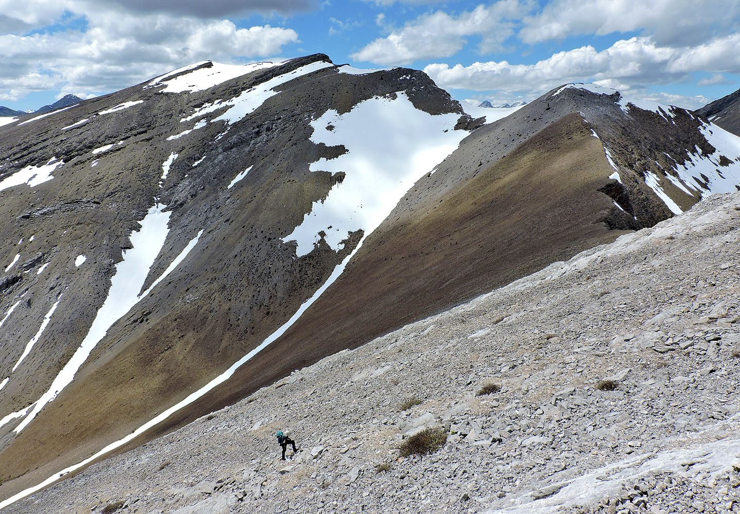
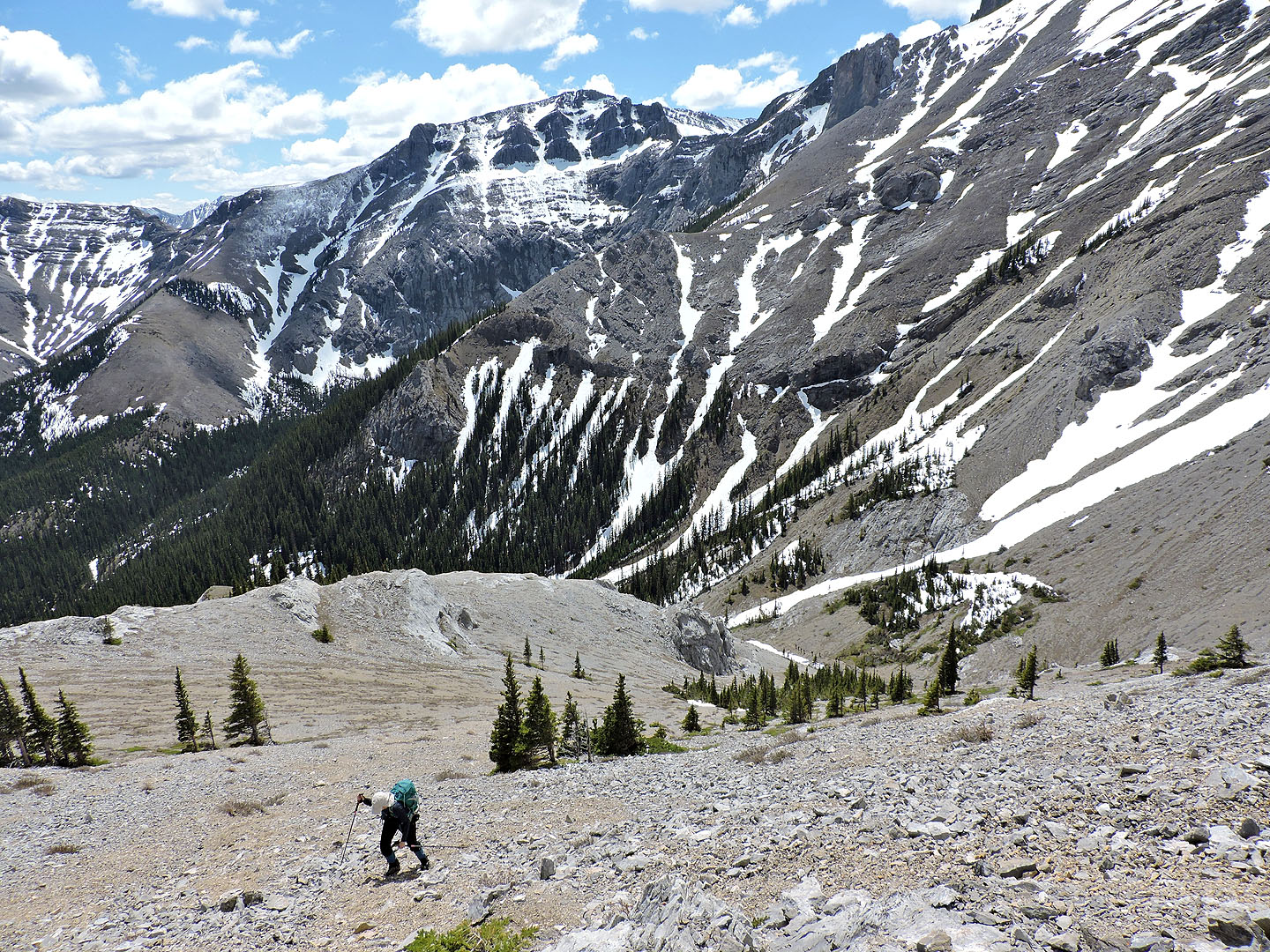
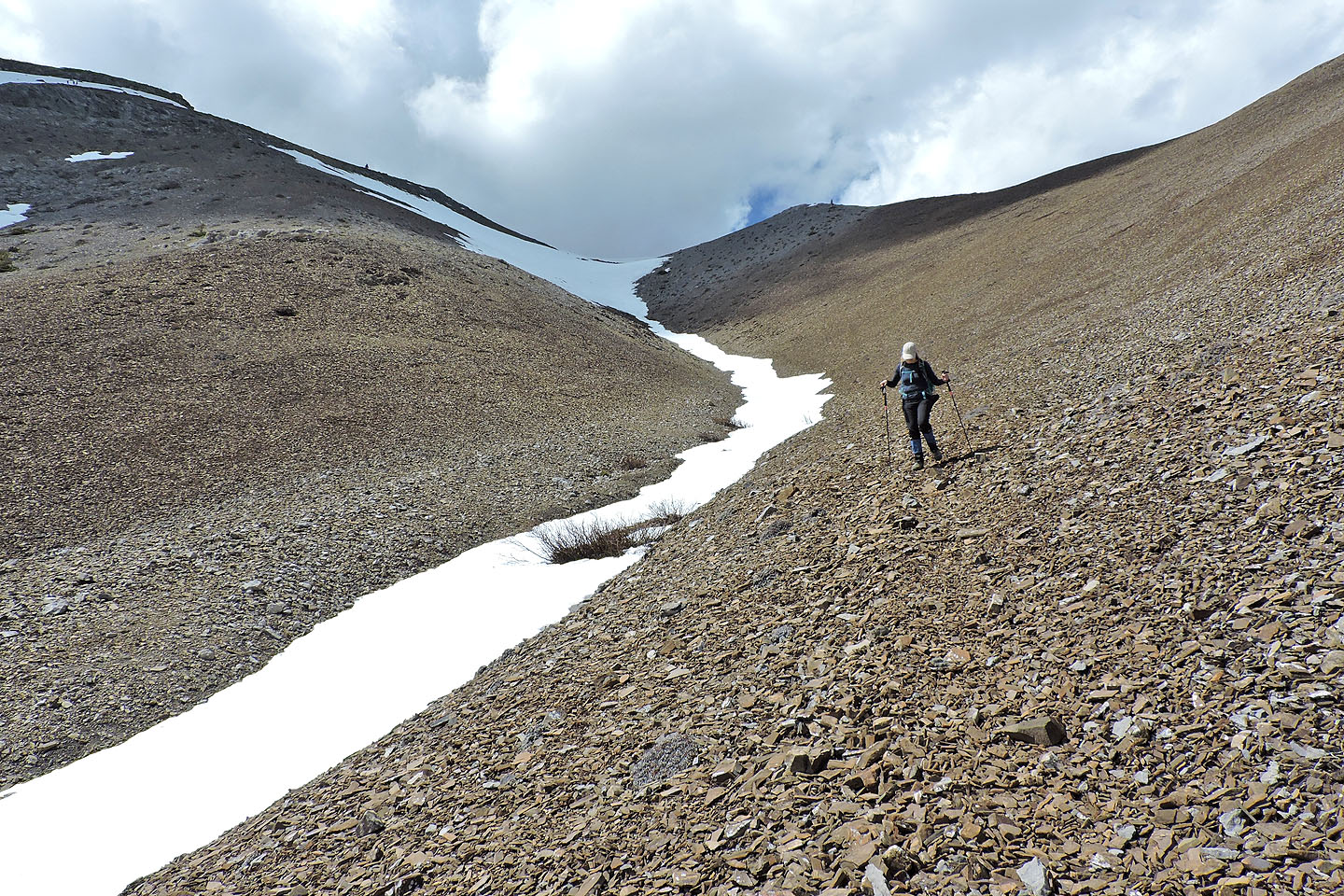
While climbing up, we eyed the brown scree we would run down to reach the snow-filled gully
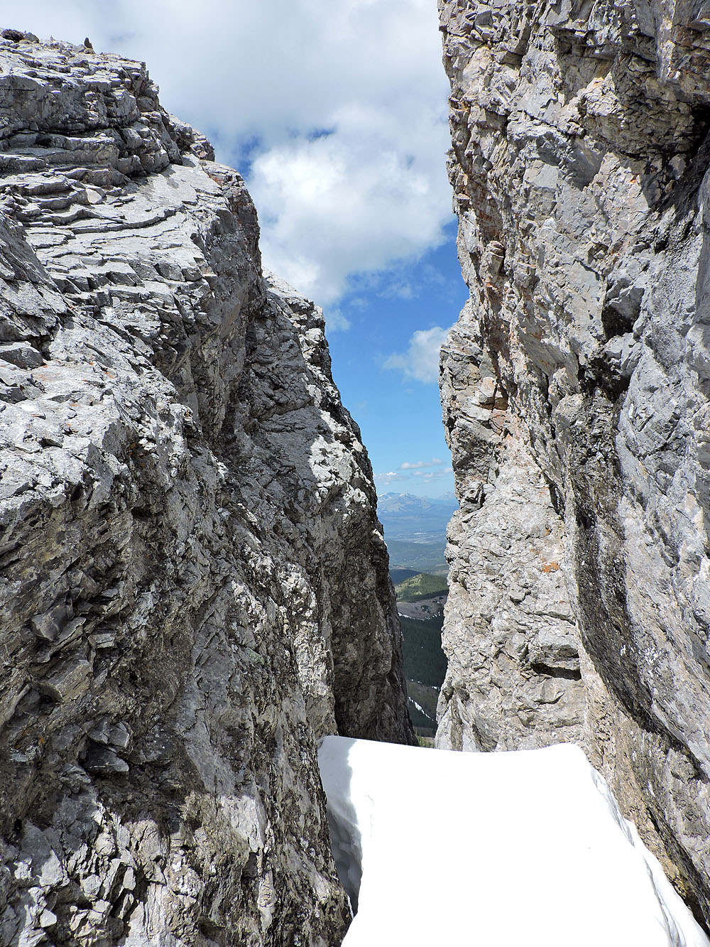
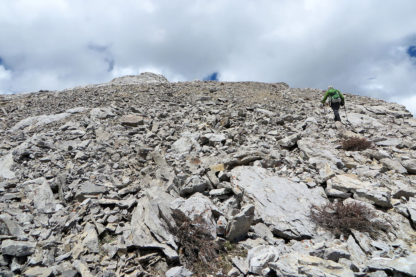
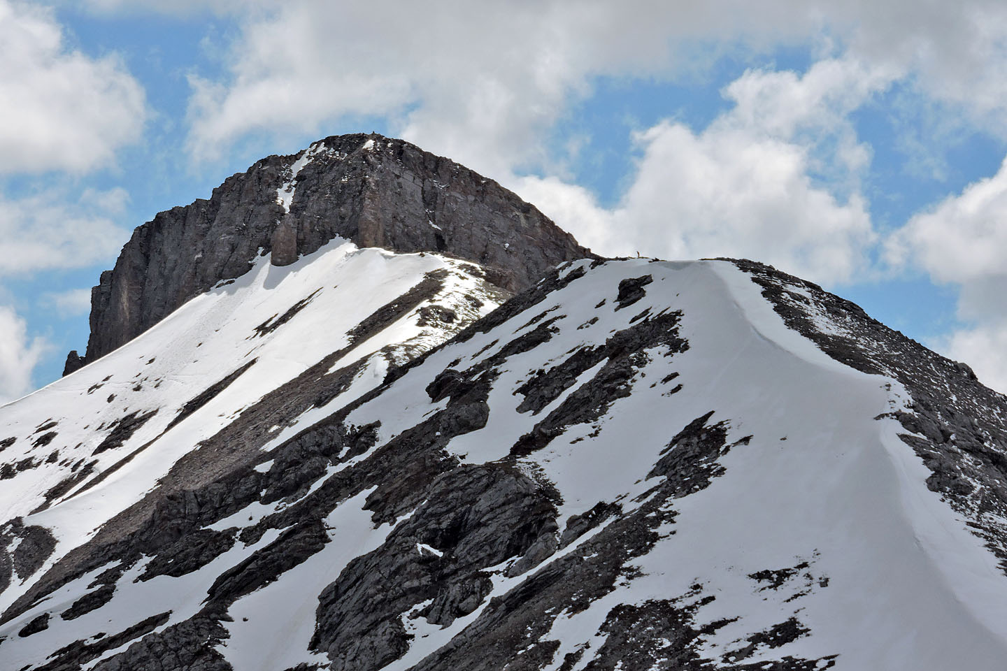
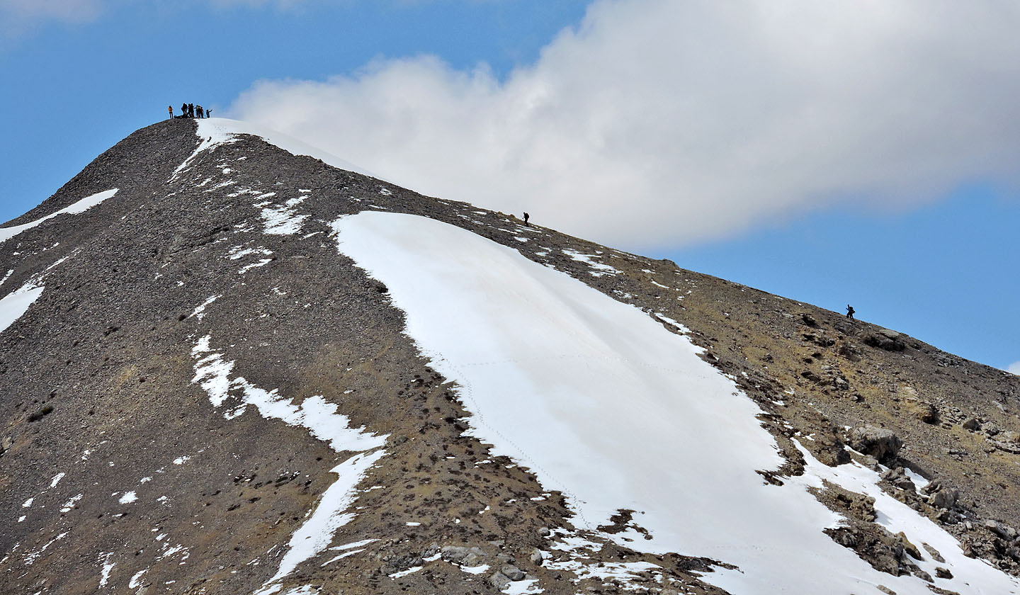
A fissure splits the top into two summits. We climbed the west summit.
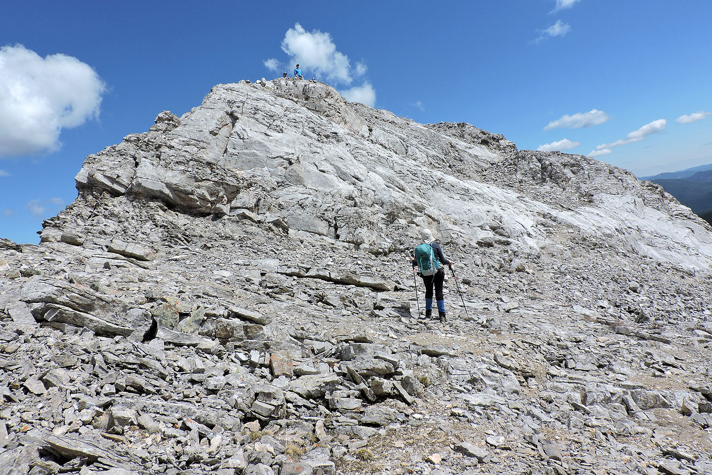
A group appears on the summit
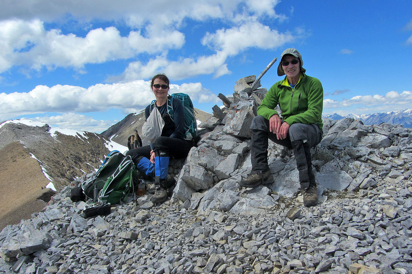
Sitting on top of Belmore Browne
A figure on the right heads toward Tiara Peak
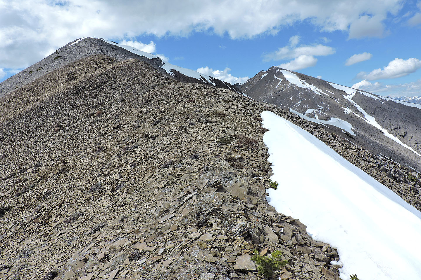
We followed the ridge west to where we could run down the scree. On the right is Boundary Peak.
A large group gathers on Boundary Peak
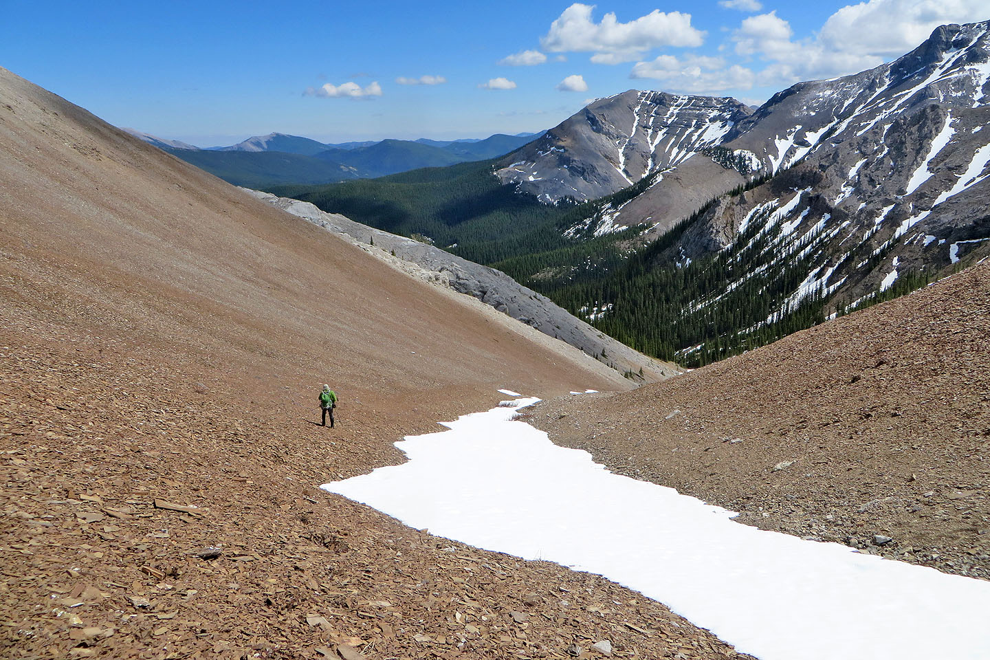
Coming down the scree slope
We'll soon be back on the trail
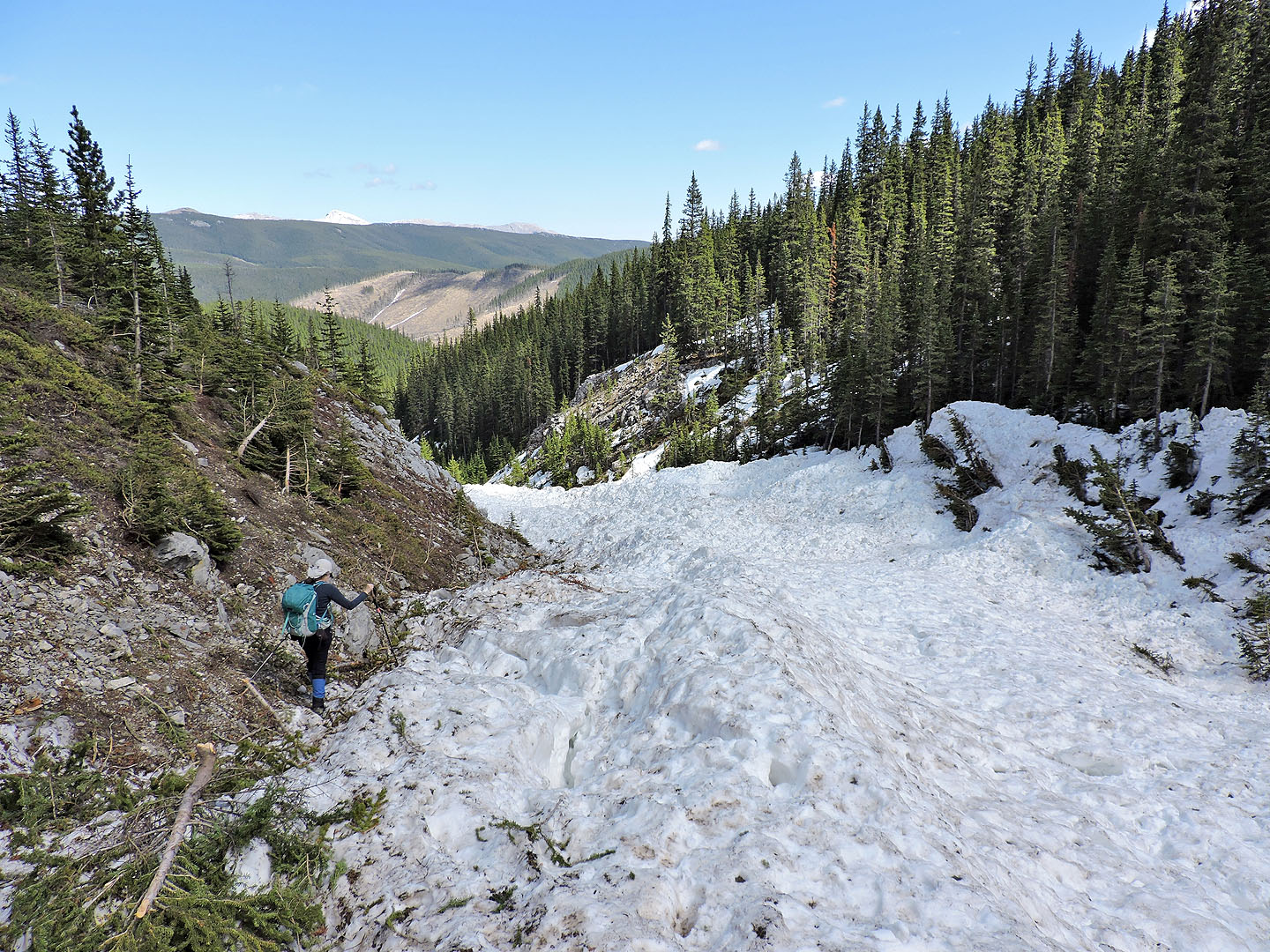
Back at the avalanche-filled gully
82 J/15 Bragg Creek