bobspirko.ca | Home | Canada Trips | US Trips | Hiking | Snowshoeing | MAP | About
Gypsum Quarry
Kananaskis, Alberta
August 5, 2023
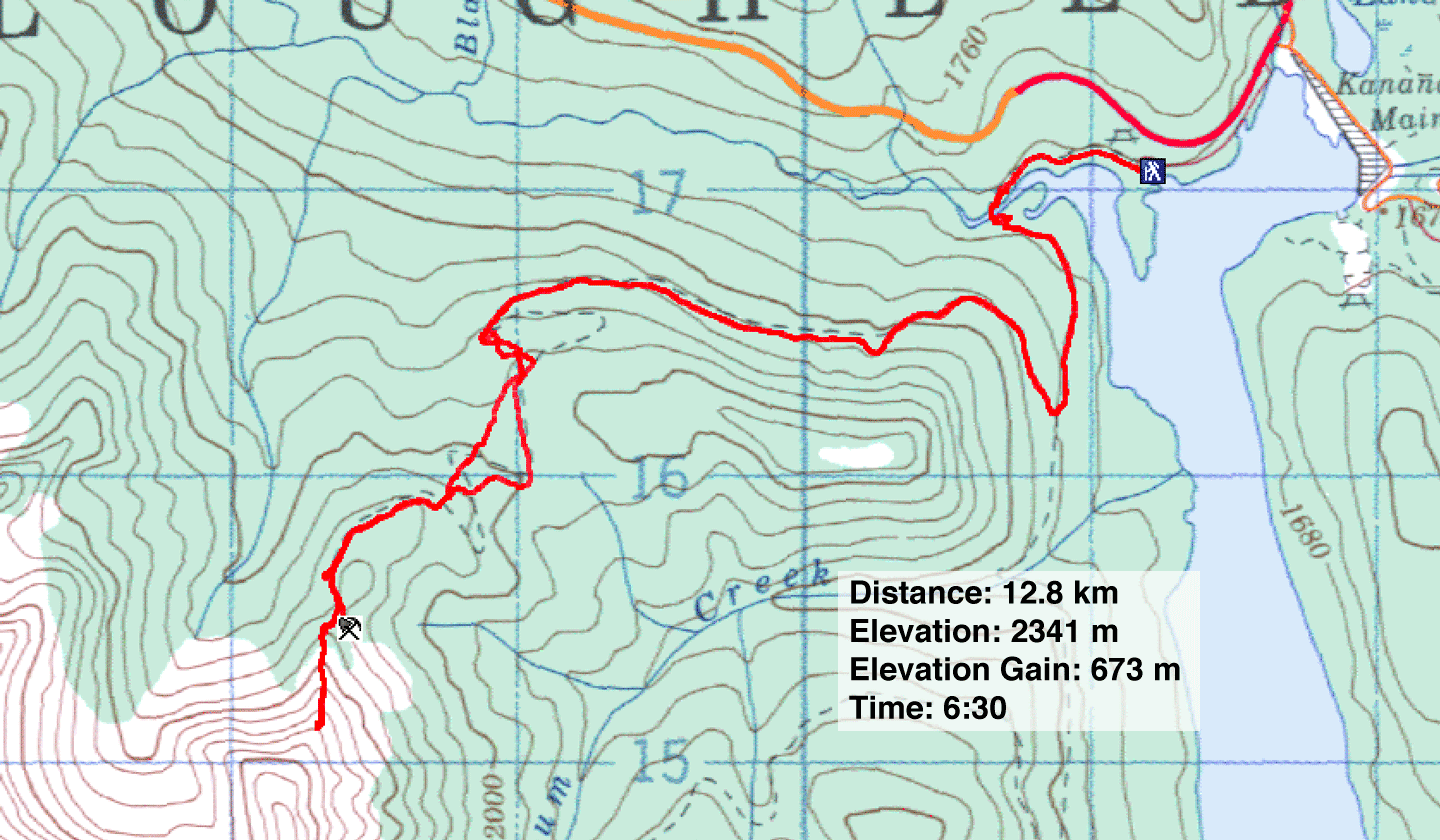
Distance: 12.8 km (8.0 mi)
Cumulative Elevation Gain: 685 m (2247 ft)
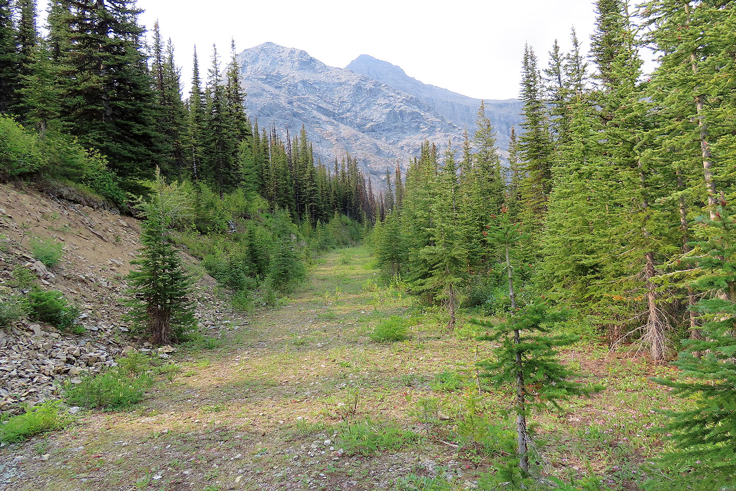
In 2000 I joined a club trip to climb the East Ridge of Mount Invincible. I remember little and took no notes, but I pieced the trip together using my GPS track and the few photos I took. We hiked up the exploration road to Gypsum Quarry and scrambled to a point on the East Ridge. From there we descended a gully and returned to the road.
Zora, who had been on that trip, convinced me we should return. So along with Christine and Jonathan, we did. However, instead of taking the scramble route, we wanted to hike up the gully. Hence, there was no need for helmets.
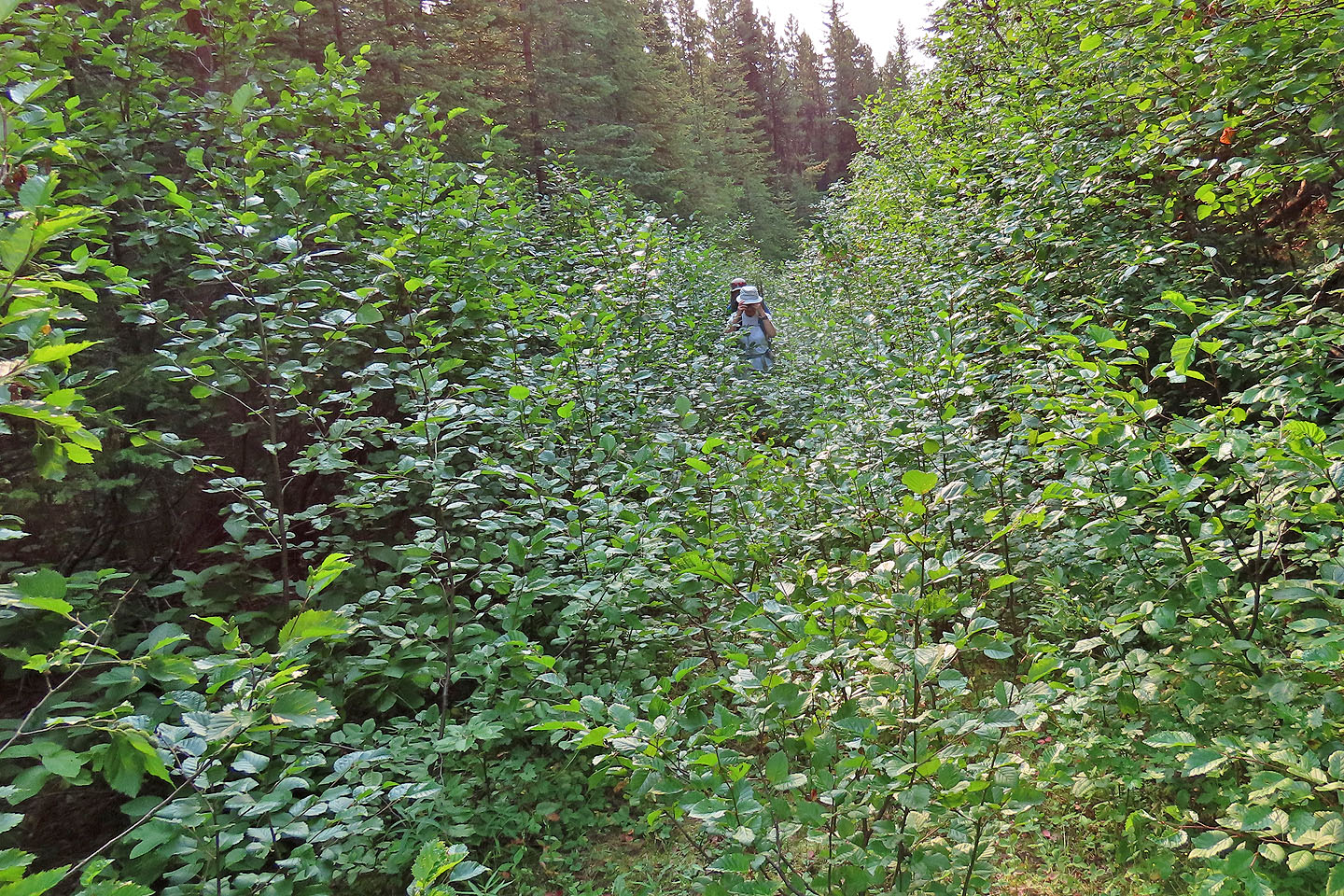
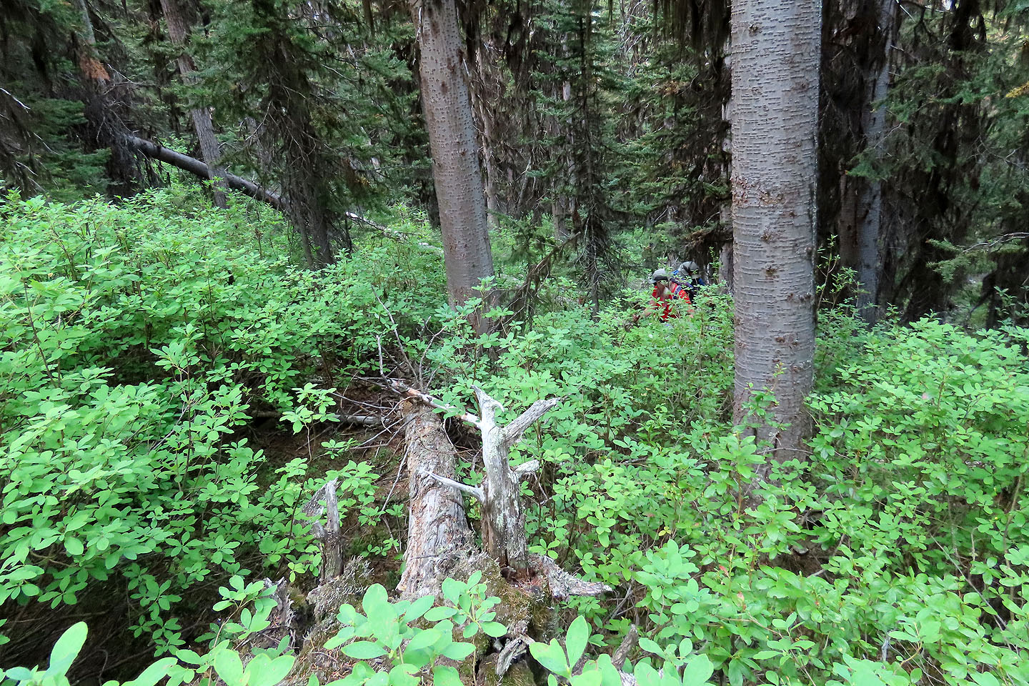
We parked at Peninsula day-use area and walked 600 m up the old road to Smith-Dorrien Creek. After crossing the calf-deep water, we got on the quarry road. It wasn't a pleasant hike. On the lower slope, the road was often obstructed by encroaching bushes, and the long switchbacks on the upper slope hindered gaining elevation quickly. For the latter, we bushwhacked, cutting through the switchbacks.
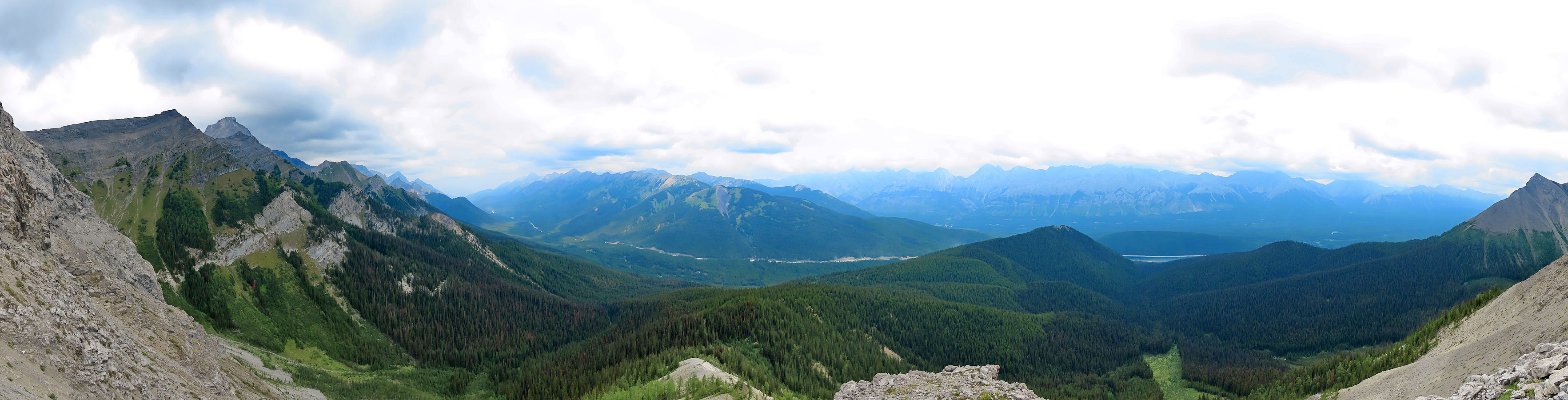
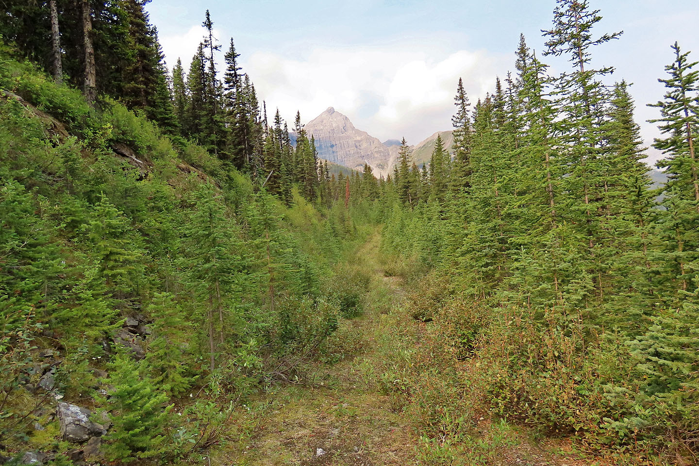
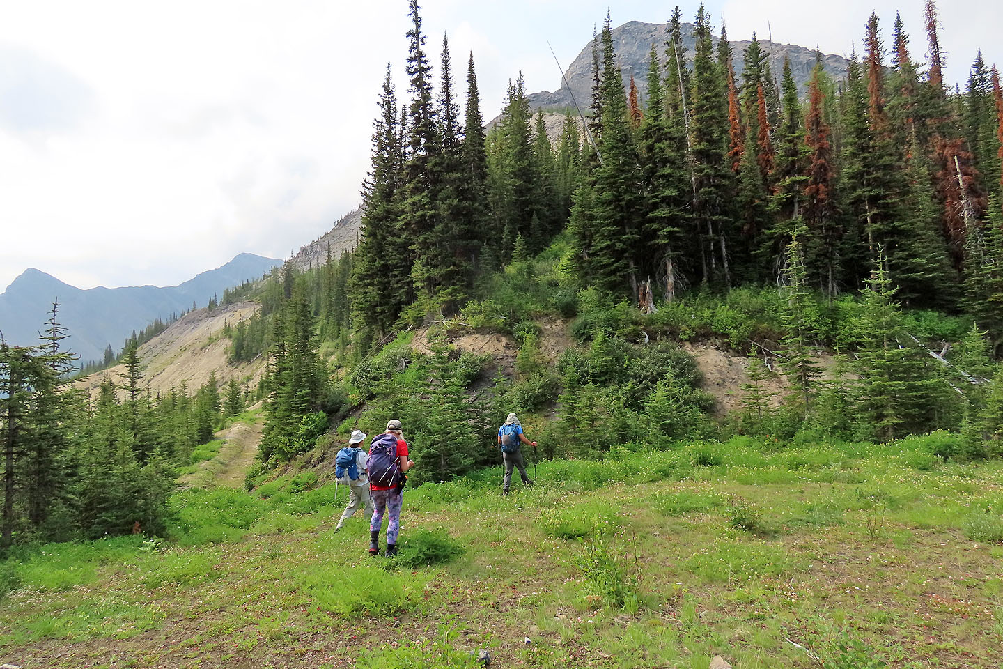
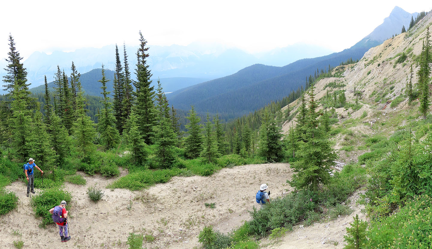
Before reaching the quarry, we left the trail to bushwhack 300 m to the bottom of the gully. But after a short struggle through dense bushes that hid nasty deadfall, we gave up the fight. So we continued up the road and then hiked up the East Ridge. We ended our climb, 200 m above the quarry and 200 m below the point we had reached two decades ago. It's just as well we terminated our ascent. Smoke from wildfires had moved in. Not only were we feeling its effects, we were seeing it; surrounding peaks looked like smudges against a cloudy sky.
After taking a break, we started down. We did, though, wander over to view the quarry. Then we started back down the old road. At least we found an easy shortcut through the switchbacks that took advantage of animal trails and thinner vegetation, and we quickly descended the upper slopes. Then we plodded down the road to our car. It was a long, cheerless approach, and we have no desire to return.
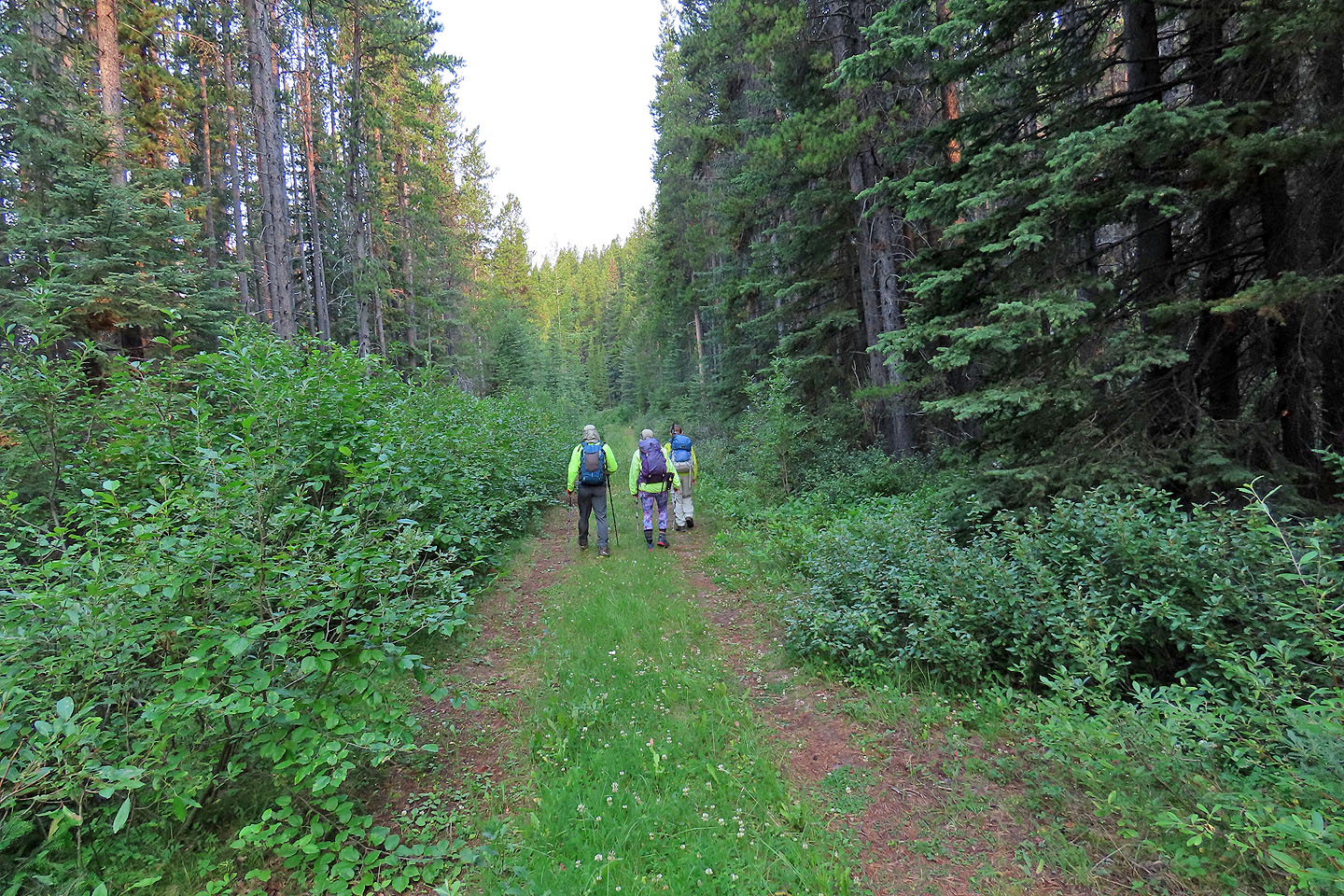
Walking to Smith-Dorrien Creek
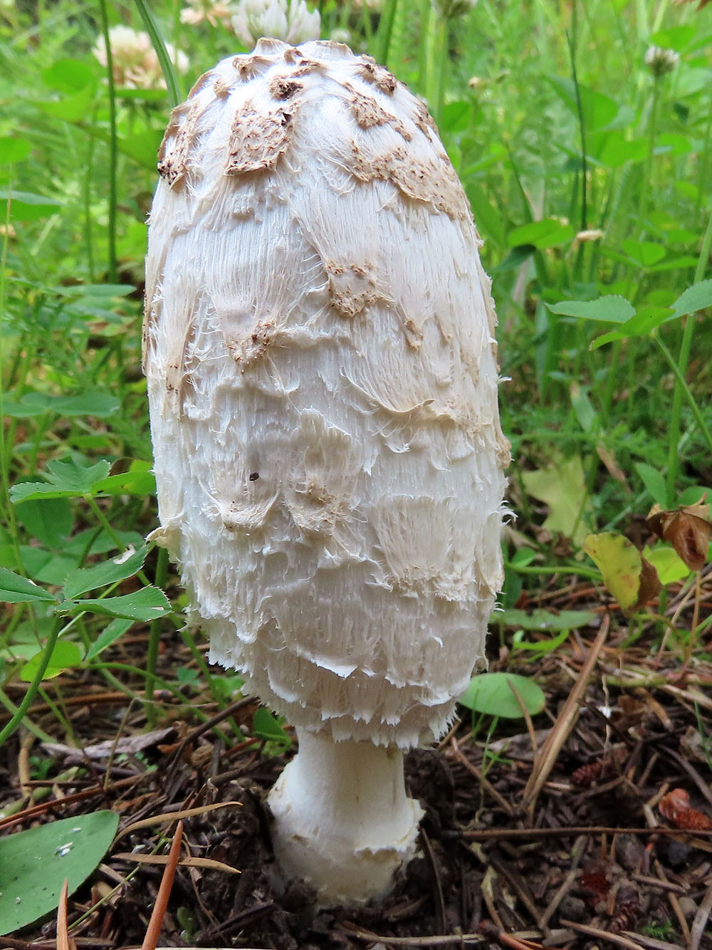
A dignified mushroom stands by the trail
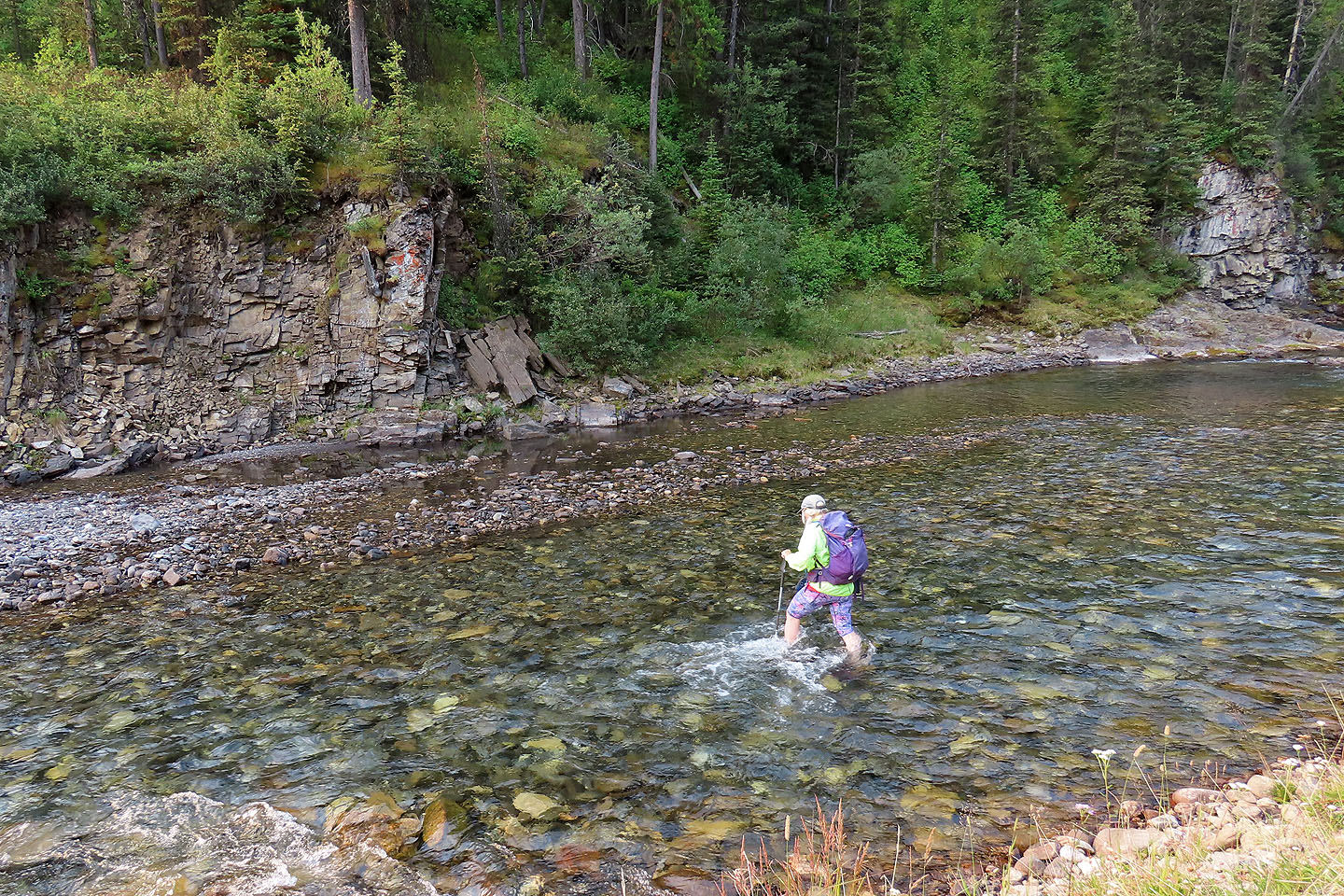
Crossing the creek
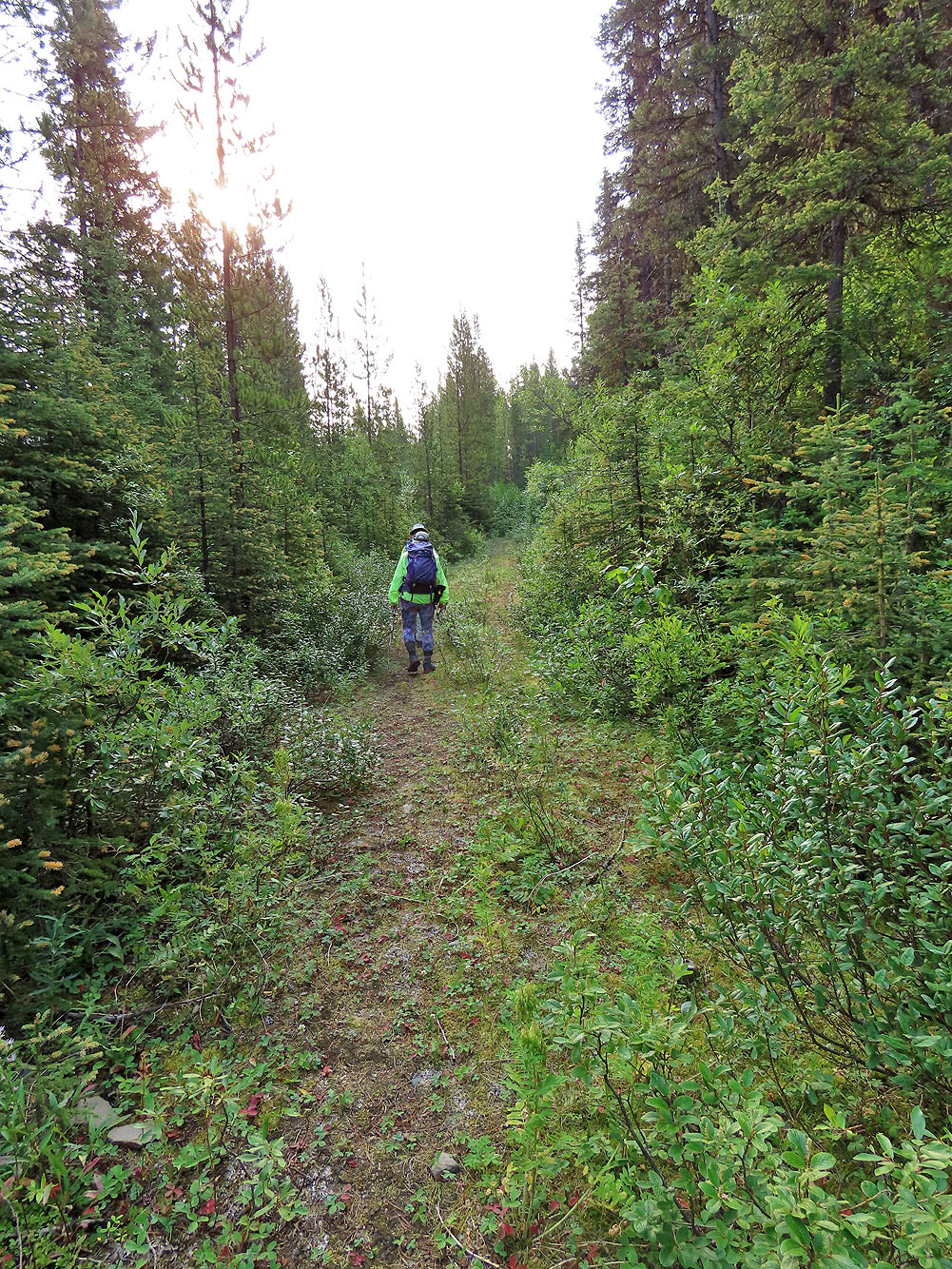
Hiking up the road on the other side
The road ranged from clear to very bushy
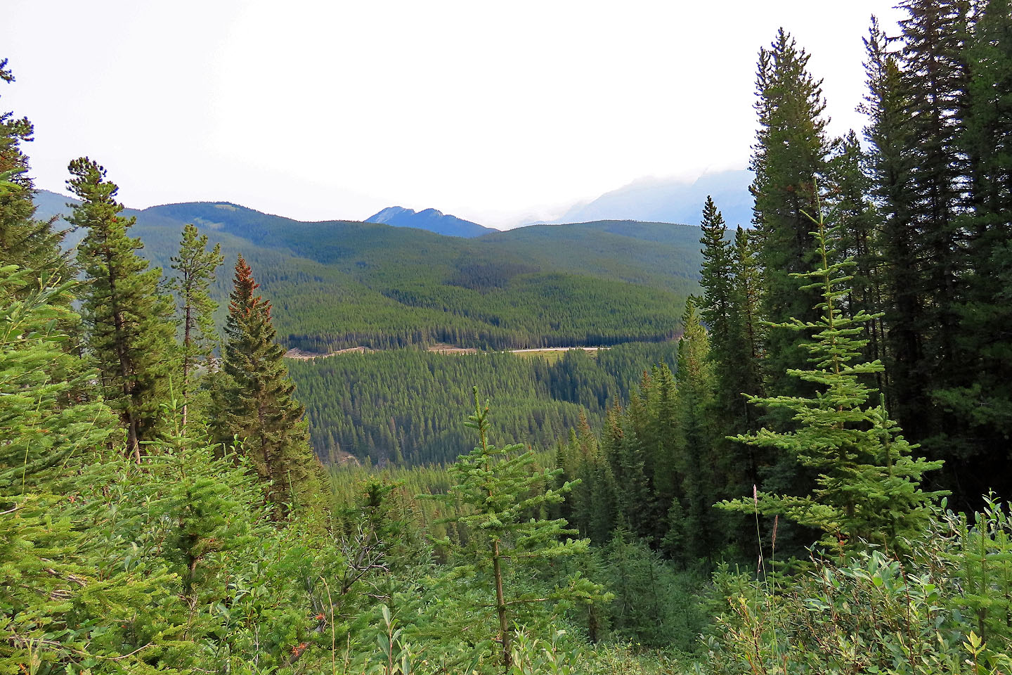
The South End of Lawson (centre) seen from an avalanche slope
Looking west at Mount Warspite
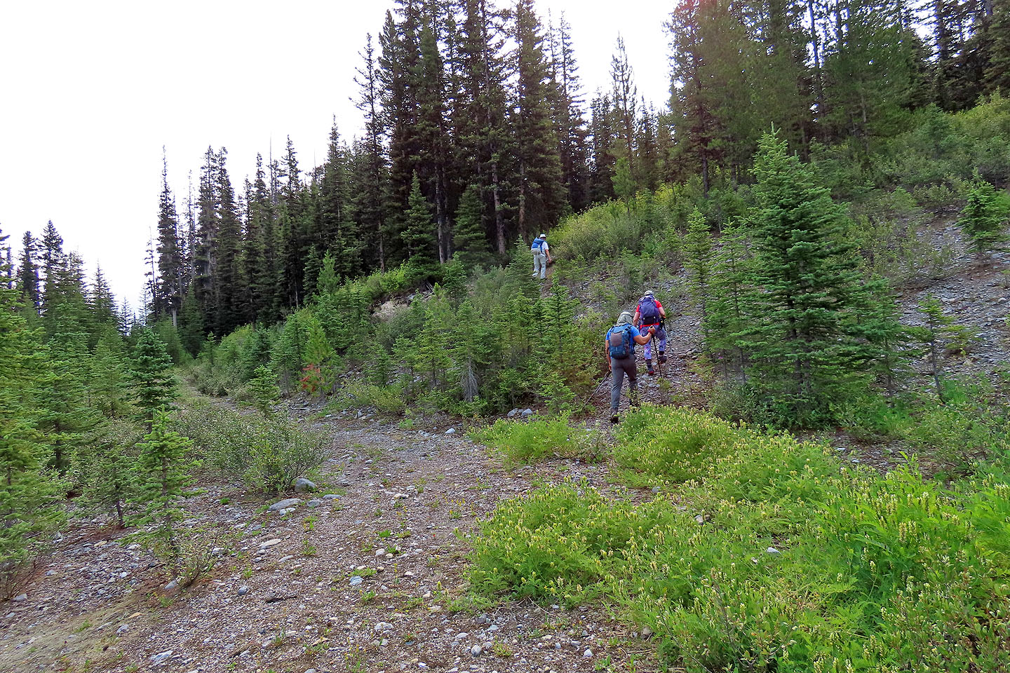
To avoid the long switchbacks, we took shortcuts
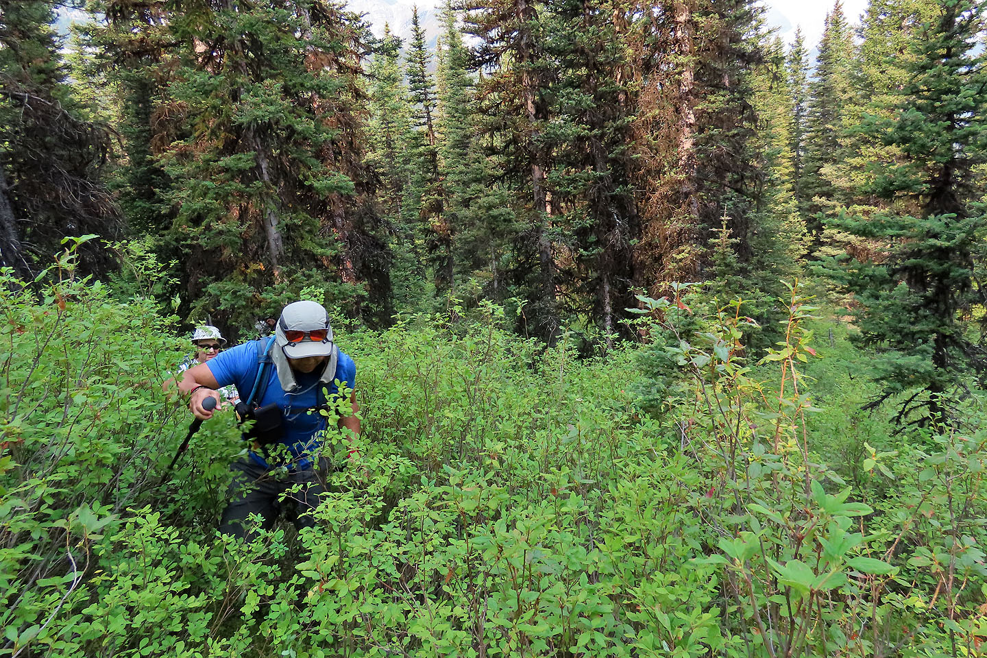
It was generally easy, but sometimes we encountered dense bushes
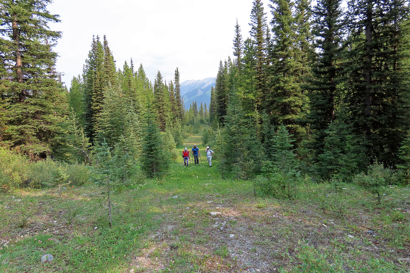
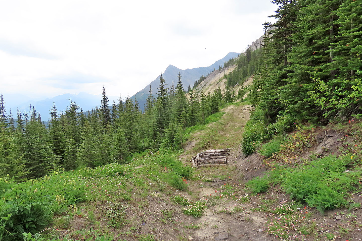
Higher up, the road was free of bushes
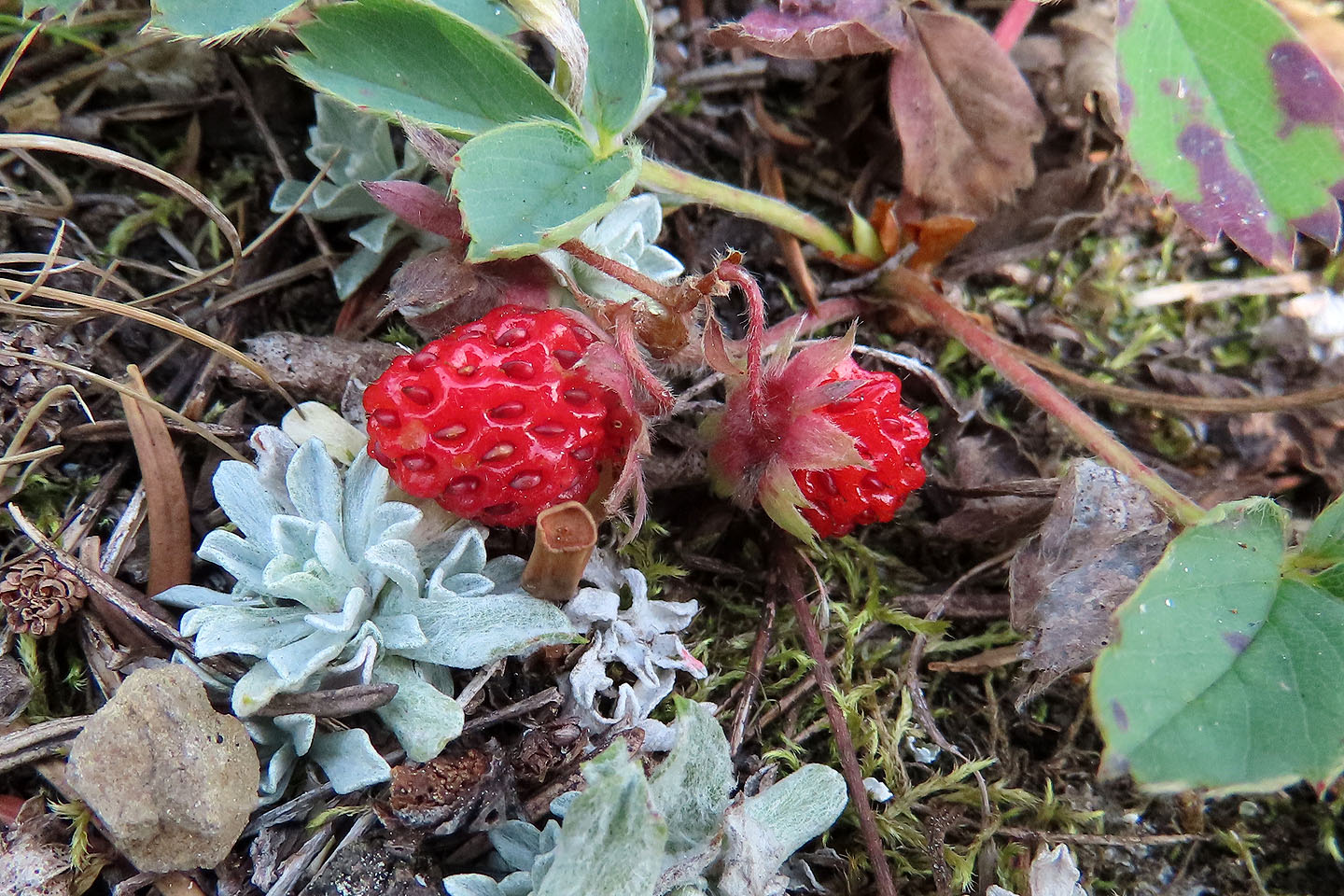
We stopped frequently to pick wild strawberries
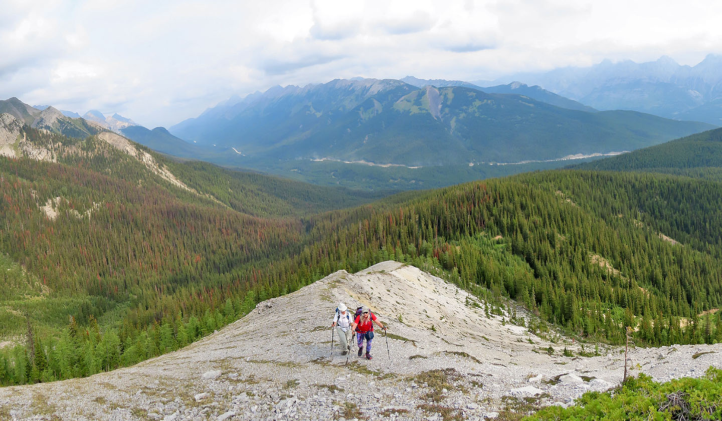
The East Ridge with Mount Invincible behind
Our attempt to bushwhack to the gully leading to the East Ridge was short-lived
Starting up the East Ridge
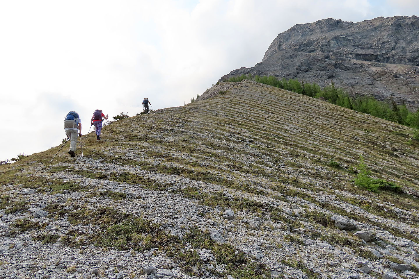
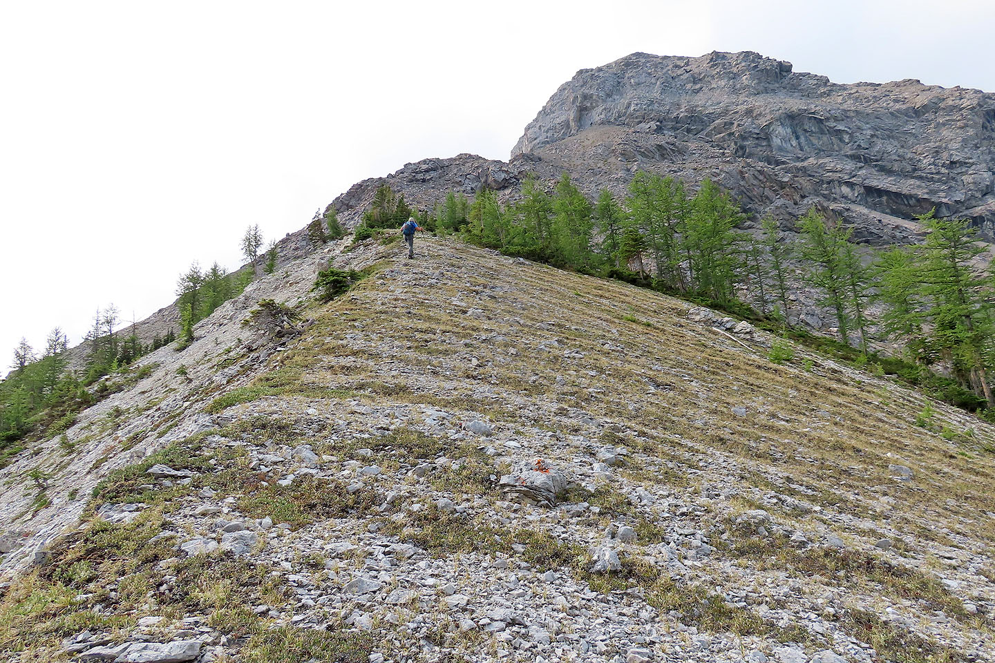
We hiked up a patterned ridge
Looking back at Kent Ridge
 We headed to the rock above Jonathan
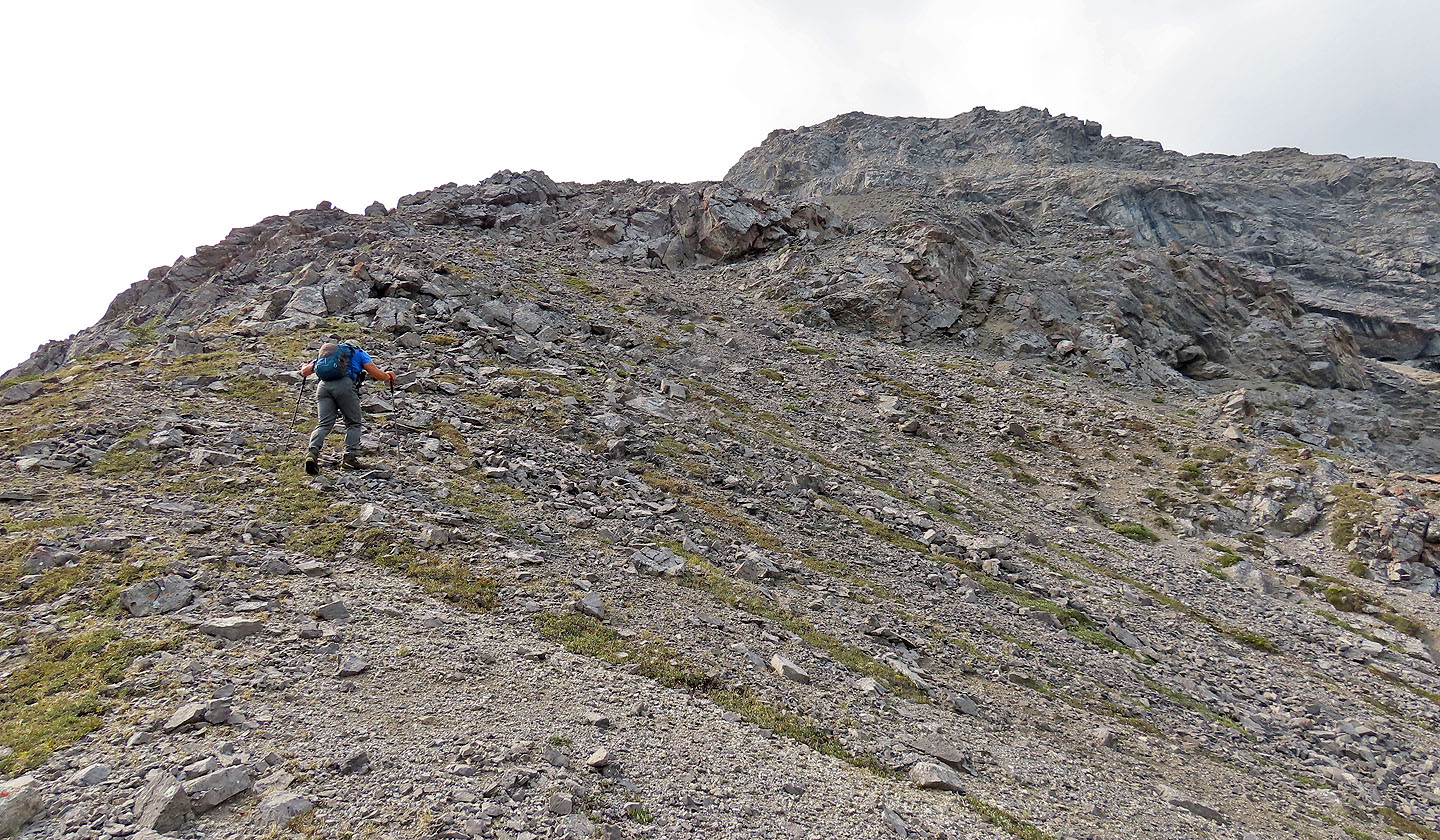 Almost there
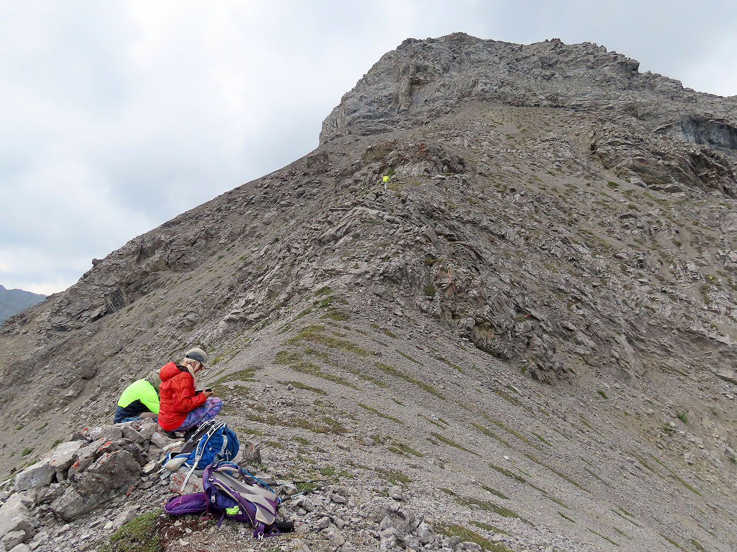 We stopped on a bump although Zora explored a little higher
 Afterwards, we went down to see the quarry
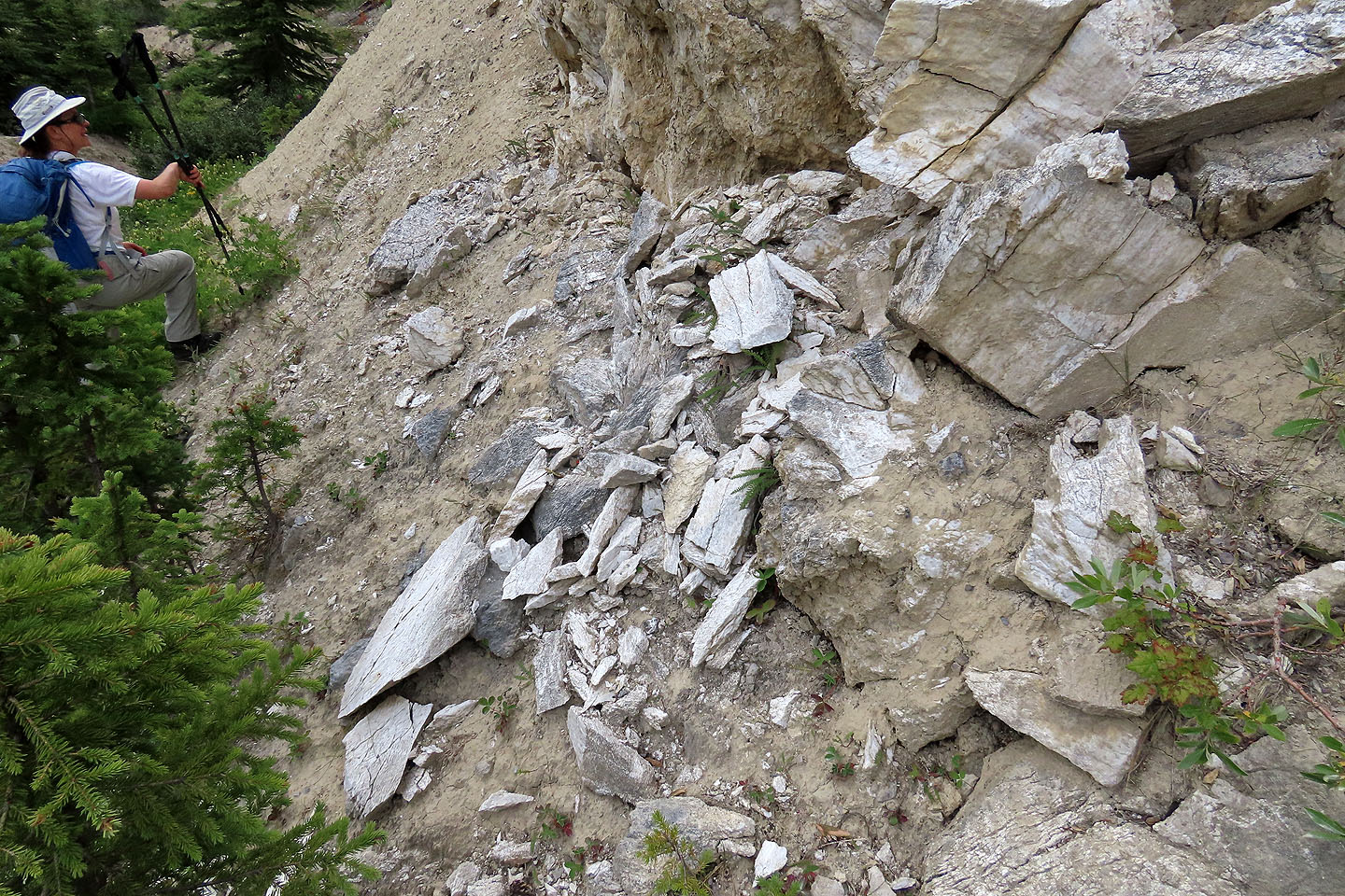 Gypsum rock is quite soft
 Looking down the quarry bench
 82 J/11 Kananaskis Lakes