bobspirko.ca | Home | Canada Trips | US Trips | Hiking | Snowshoeing | MAP | About
Mount Warspite
Kananaskis, Alberta
September 12, 2006
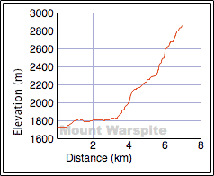
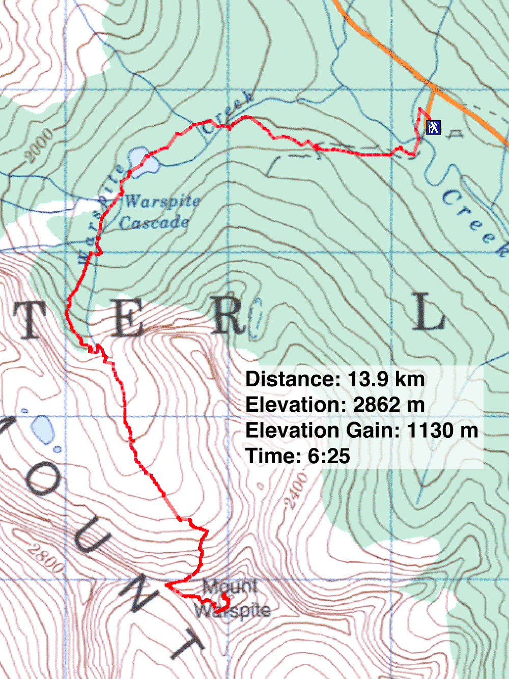
Distance: 13.9 km (8.6 mi)
Cumulative Elevation Gain: 1220 m (4003 ft)
When Raff asked me to climb Mount Warspite, I had my doubts. The Scrambles book made this mountain sound like a serious endeavour – 8-12 hours – and Raff wanted to start Tuesday afternoon! But he had heard it was a moderate scramble that could be done in a short time. He clinched my interest when he said Tuesday was the last nice day before the weather turned cold and wet. I agreed to join him.
We arrived at the Black Prince trailhead and set off at a brisk pace at 2:45 PM. It was warm, and the weather looked promising although smoke haze dulled distant views. We moved quickly up the trail to the hanging valley. At the end, sat Mount Warspite, commanding attention. It took longer than I expected to cross the valley and reach the bottom of the big gully leading to the col we had to ascent. Ascending the gully wasn't easy. The soft dirt mixed with loose rocks was worse than scree.
We hugged the right side, as it afforded some solid rock, but it steepened considerably as we ascended. We ended up in a narrow side gully that wasn't safe: a loosed rock could funnel down to a partner below. The broad main gully is safer to ascend for parties.
When Raff appeared directly below me, I slipped over to the next gully on my left. In this gully the rock was even more crumbly, and I inadvertently launched debris harmlessly down. I continued working left hoping to get into the main gully, but the ridge of rock I was on dropped down steeply. I ascended and hoped the ridge would flatten out. Eventually it did, and I made it to the edge of the main gully. I gave a thumbs-up to Raff to let him know the way up was clear.
In the main gully, we followed a sheep trail in the soft, black scree that led to the col. From the col Warspite looks stately, like a towering cathedral. It didn't look possible to scramble up, so when Raff said, "Let's check it out," I mused that he might have said, "Let's chicken out ." We went to check it out.
But from the col, Kane's route description was clear and accurate. We ascended left of the chimney. After reaching a shoulder, things began to look better. We did much of the ascent simply by following trails in the scree, although a couple of tricky spots on rock merited a difficult rating. The worst section was a crumbling rock band, but after searching we found solid rock to scramble up.
At one point, where we failed to consult the description, Raff scrambled up a steep rock section. He was already committed to climbing up, but I turned back and hiked up the ridge to meet him. A few minutes later we were on the summit.
We spent 20 minutes taking pictures and looking around before deciding it was time to go. We retraced our steps to the col. From the col we followed the animal tracks until they disappeared. Then we made our own tracks in the scree of the main gully until we reached the bottom. Daylight had faded to the point my camera balked at taking photos. We reached the trail and left the hanging valley.
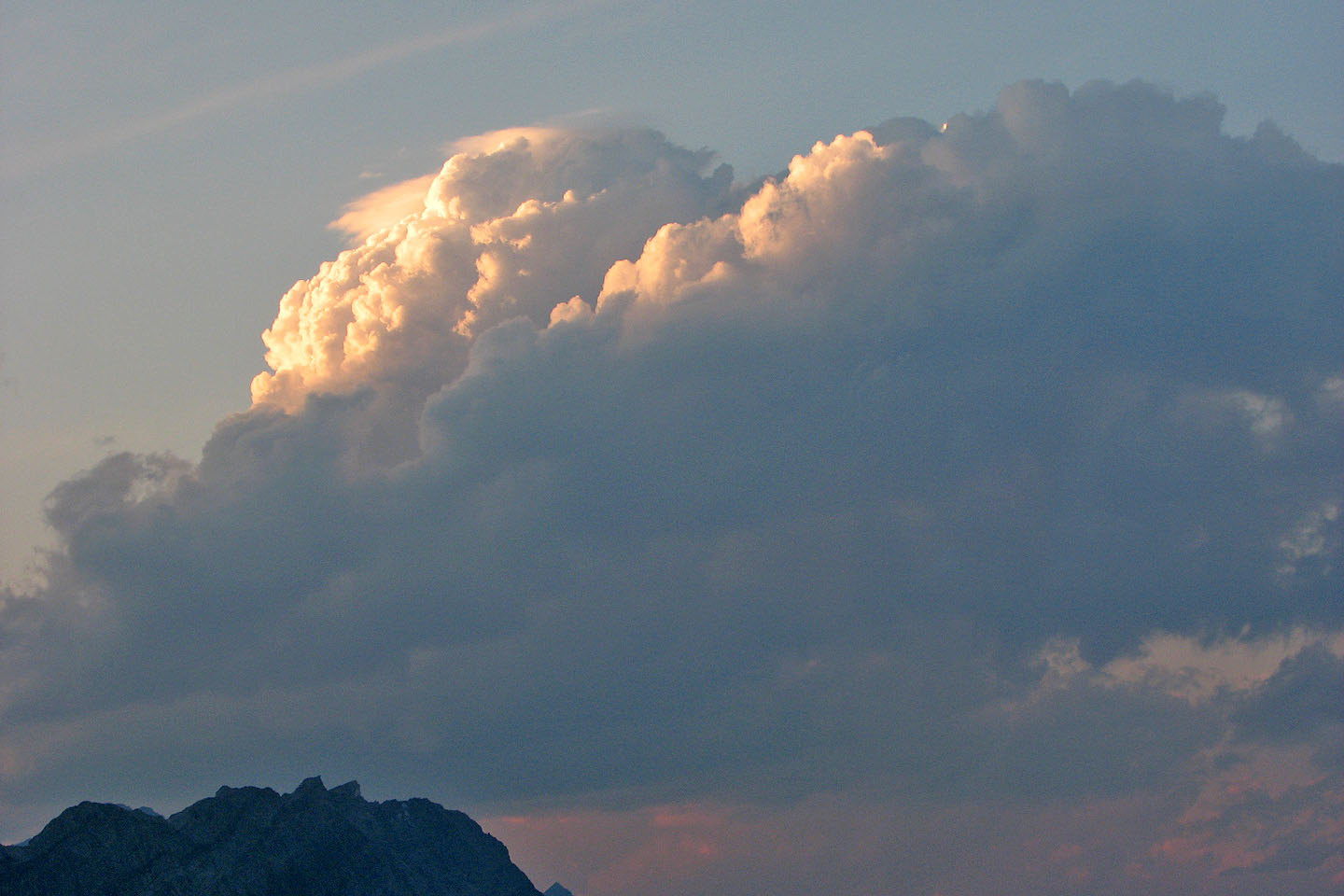
To our surprise, it rained for a while. Soon after the rain ceased, it became too dark to see well. We brought out headlamps. For the next 45 minutes, they would light our way back to the car.
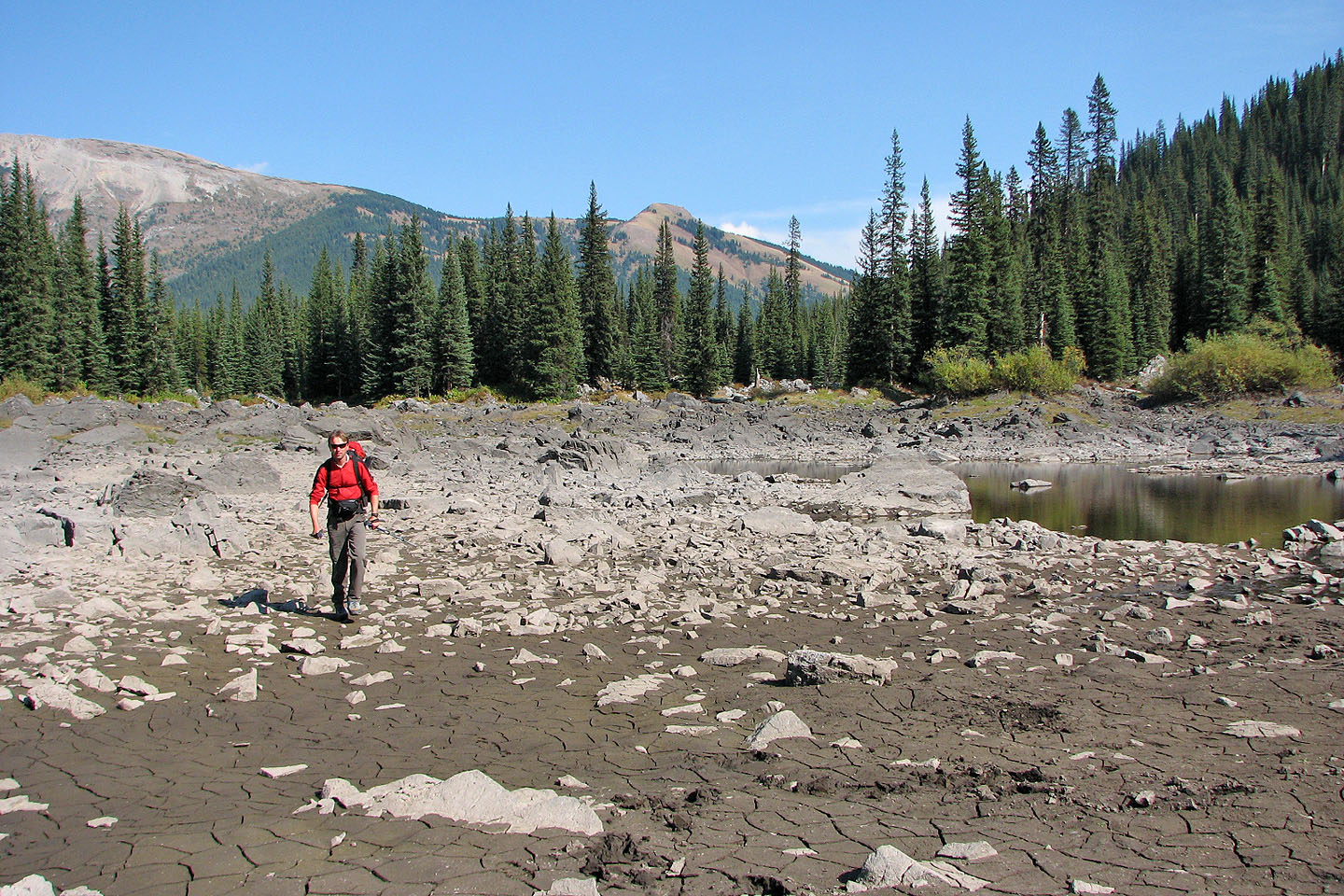
Warspite Lake has almost disappeared in the dry weather. We headed for
the SW corner of the lake where we found the trail.
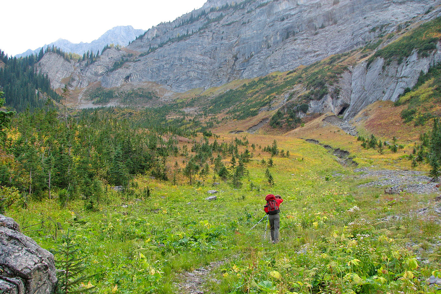
The trail leads to the hanging valley ahead
Fall colours are appearing
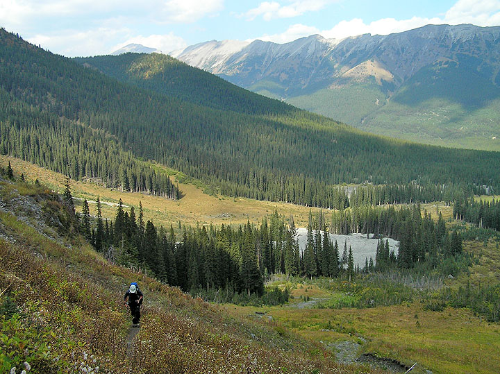
Looking back at Warspite Lake
Heading to the hanging valley
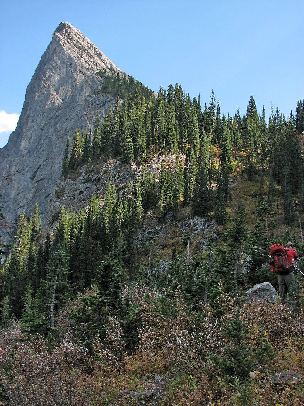
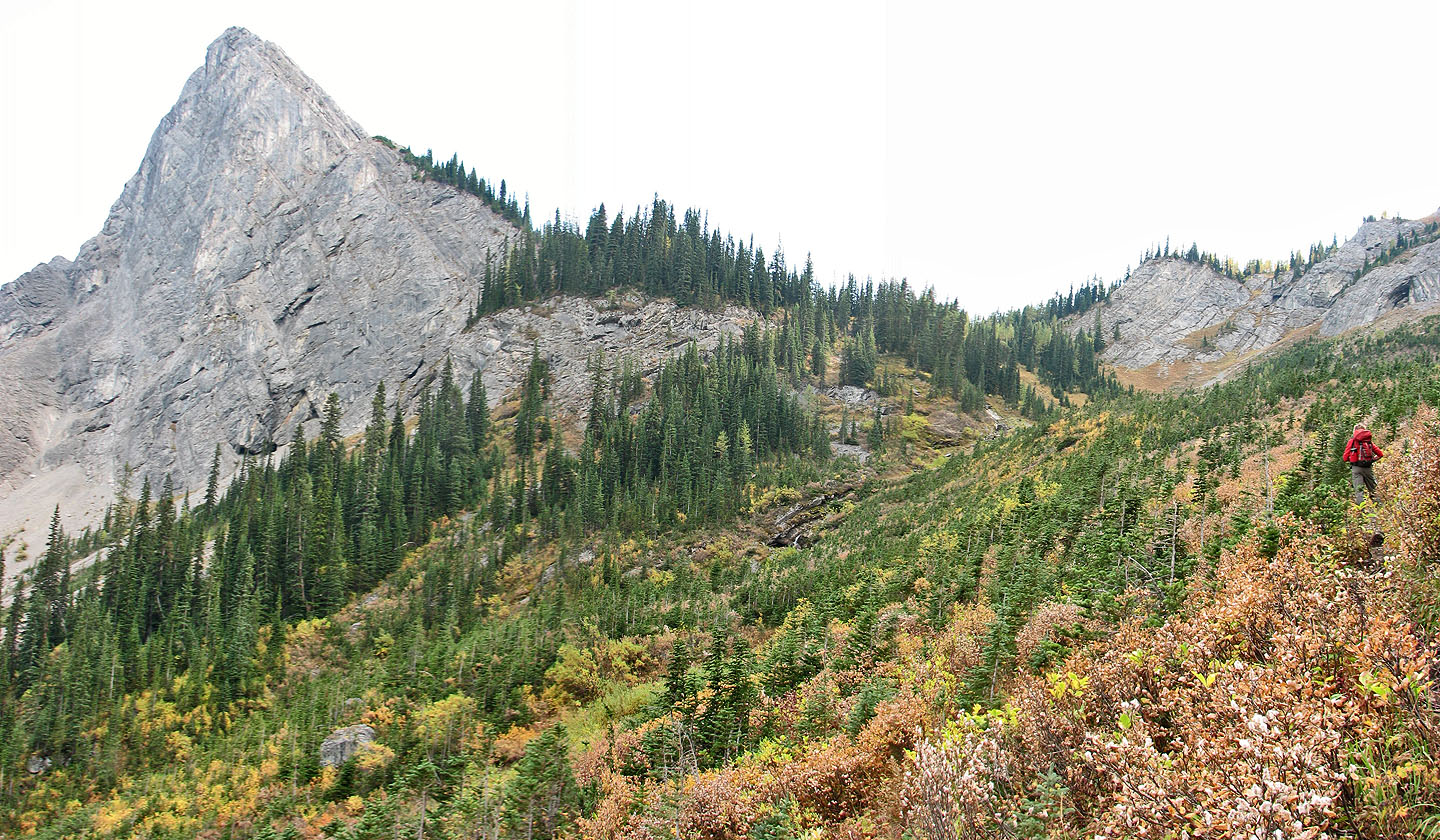
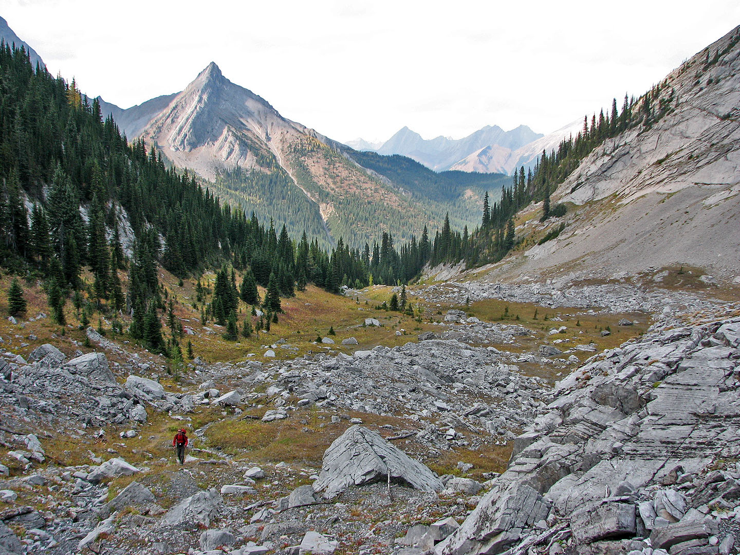
The striking rock point is Warspite North Ridge
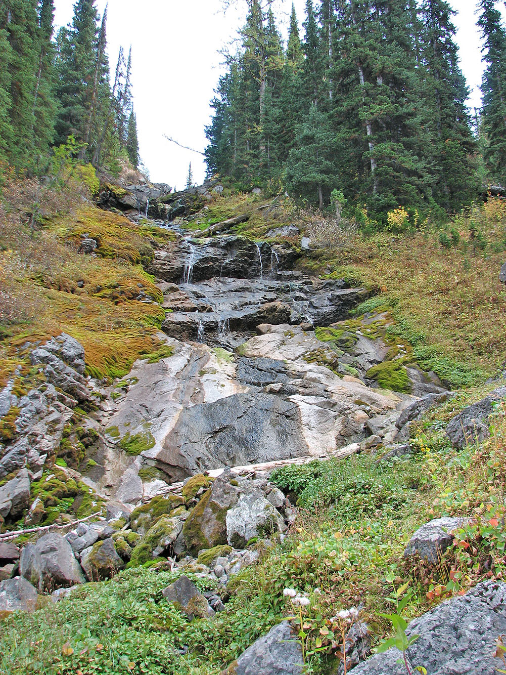
Warspite cascades were only a trickle
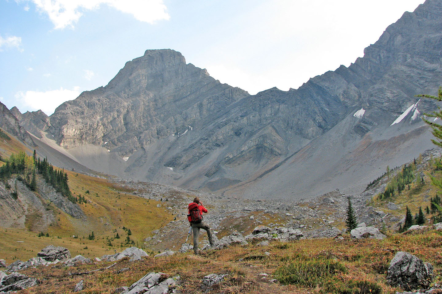
At the end of the trail, Mount Warspite looms ahead
Looking back across the hanging valley
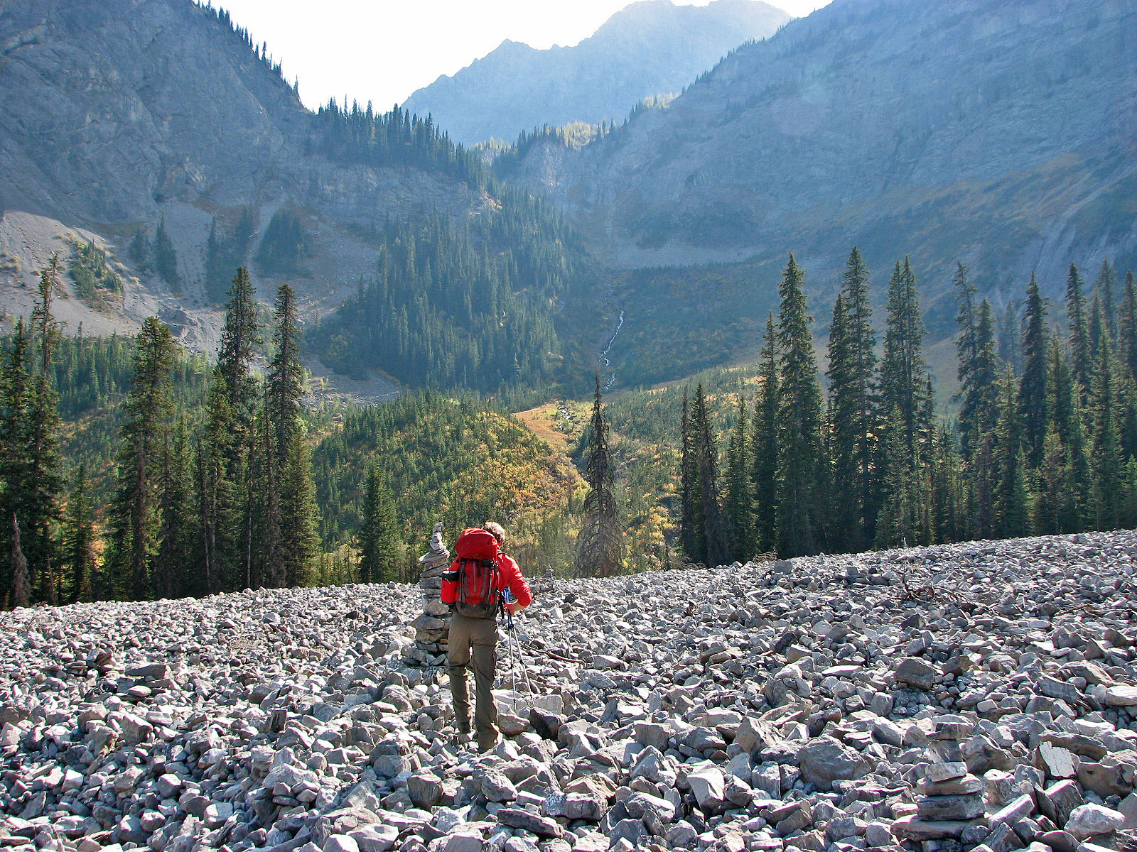
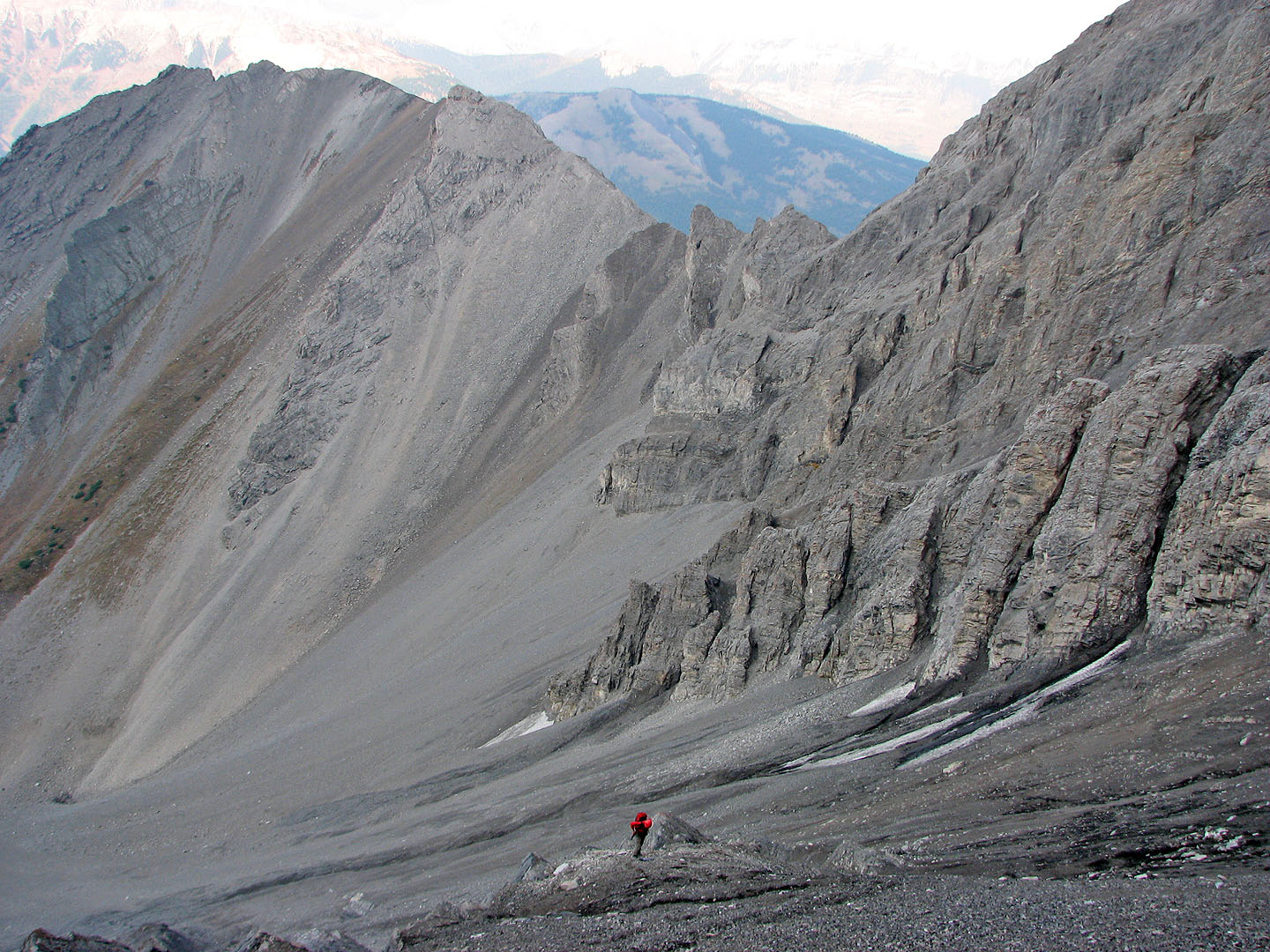
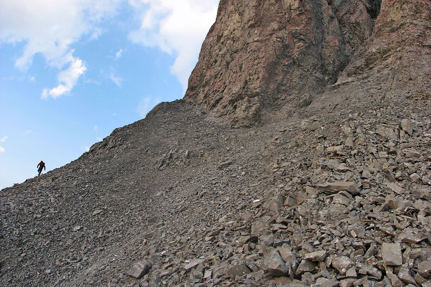
Approaching the gully
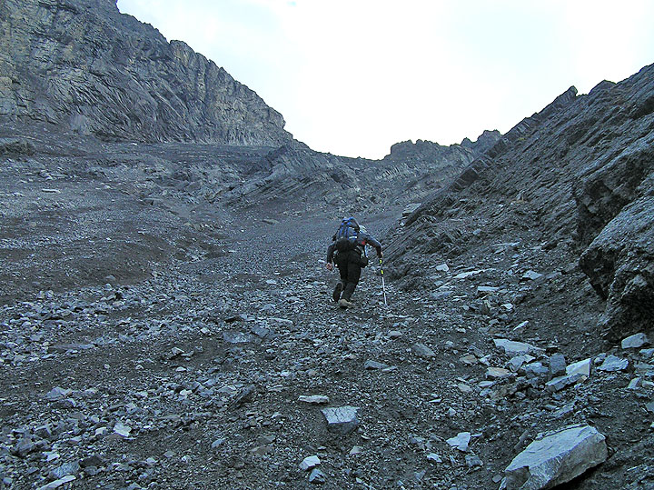
Starting up the gully
It may be possible to scramble up the rock ridge on the left
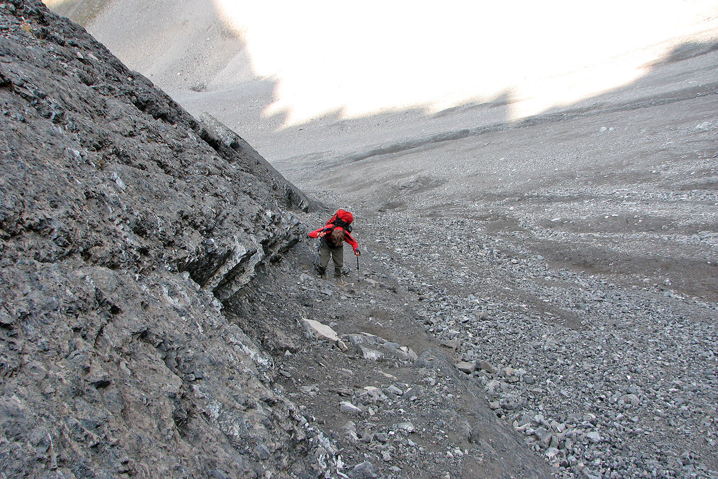
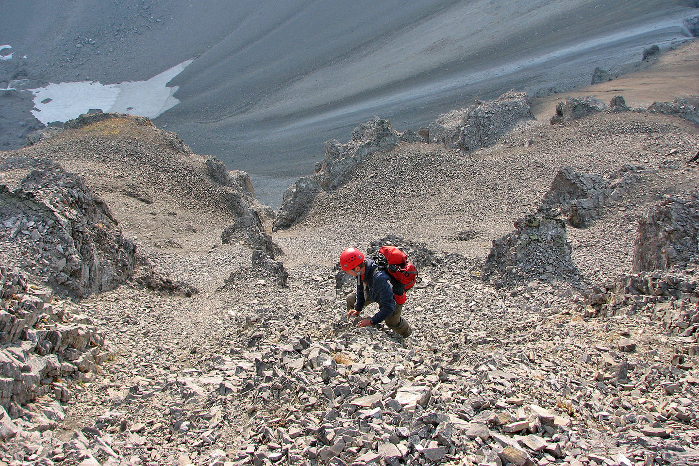
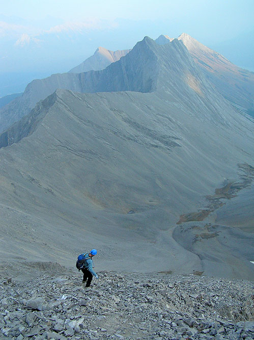
Raff starts up the next gully
Raff claws his way up the gully. It's steeper than it looks and the ground
is hard (mouse over).
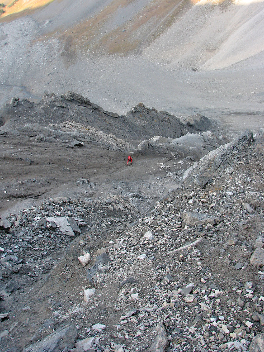
Raff reaches the main gully
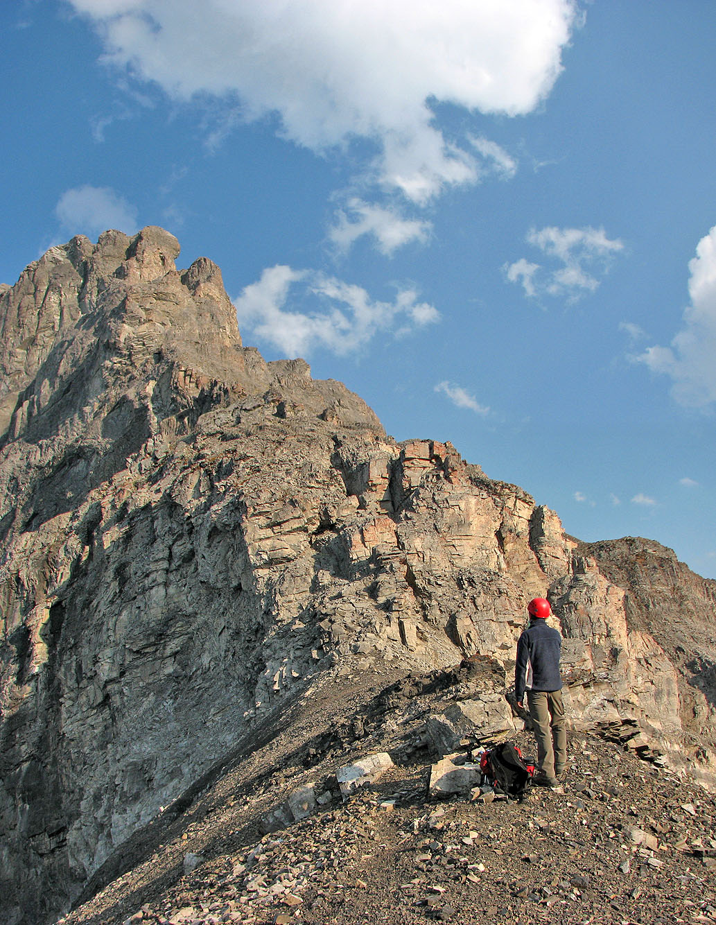
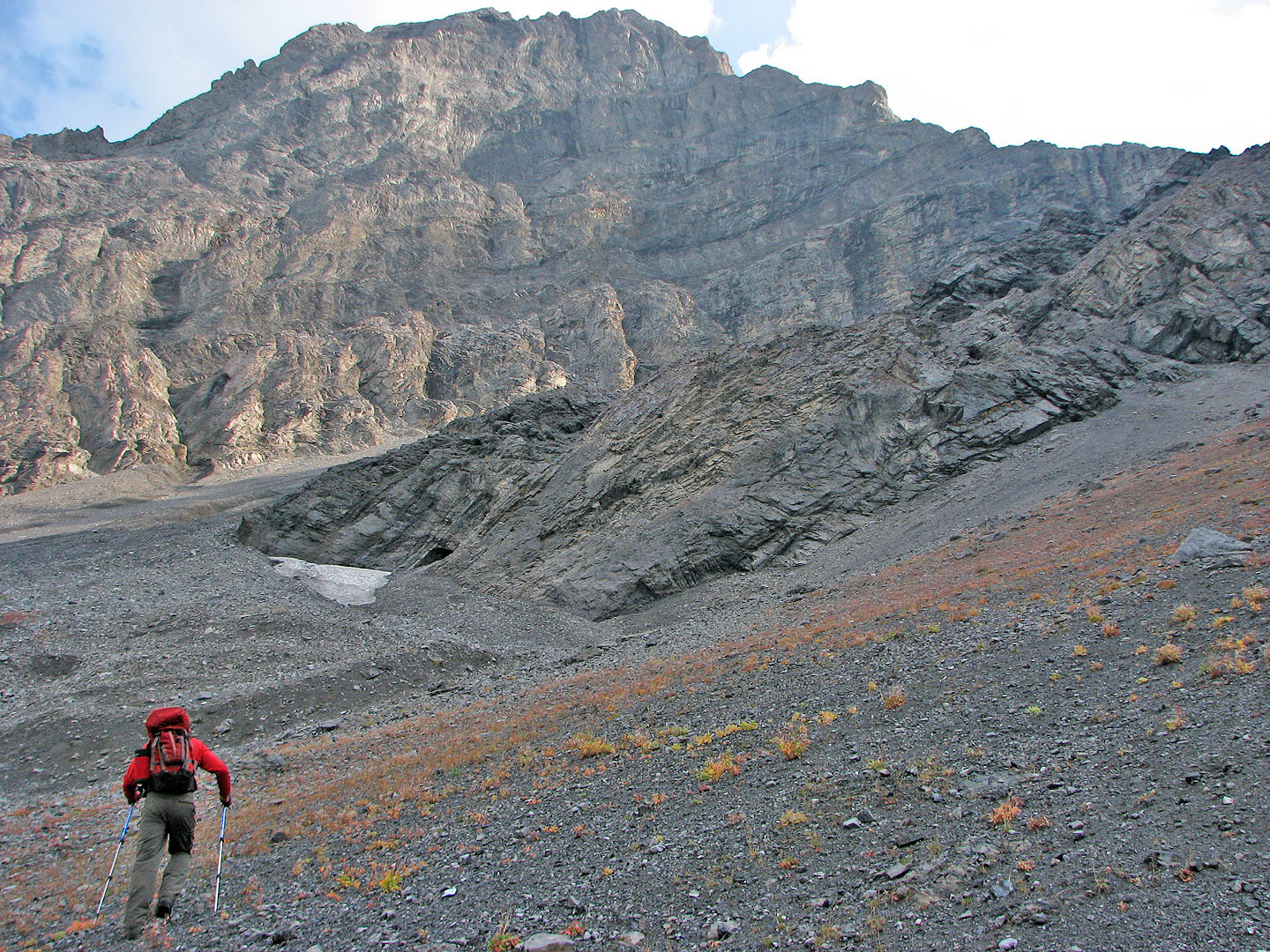
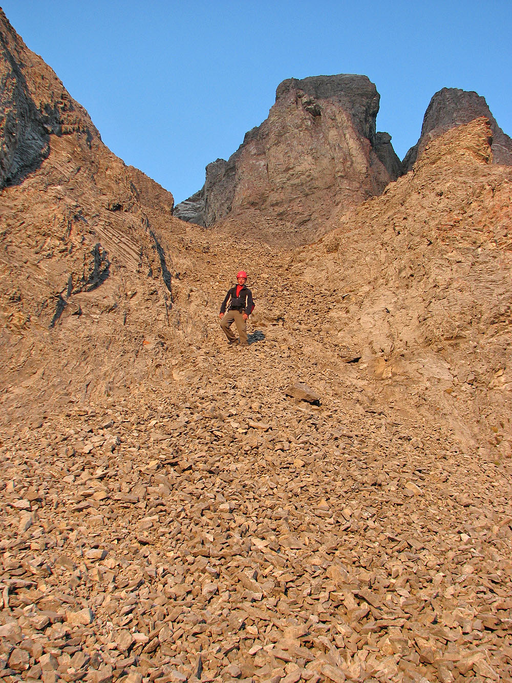
View of Mount Warspite from the col is foreshortened
View after climbling a short way from the col
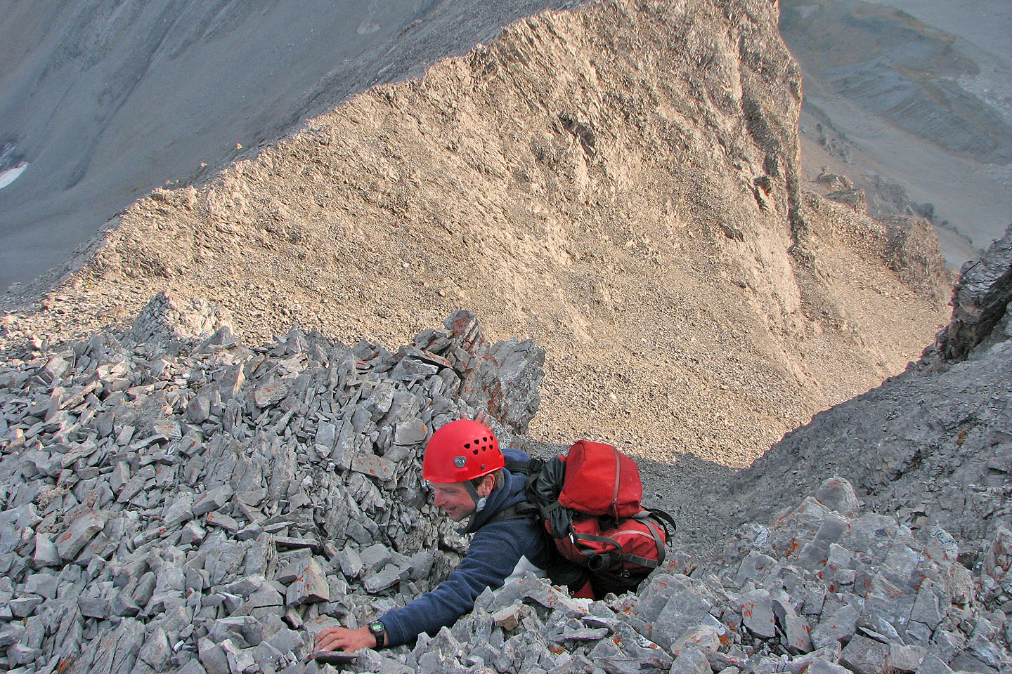
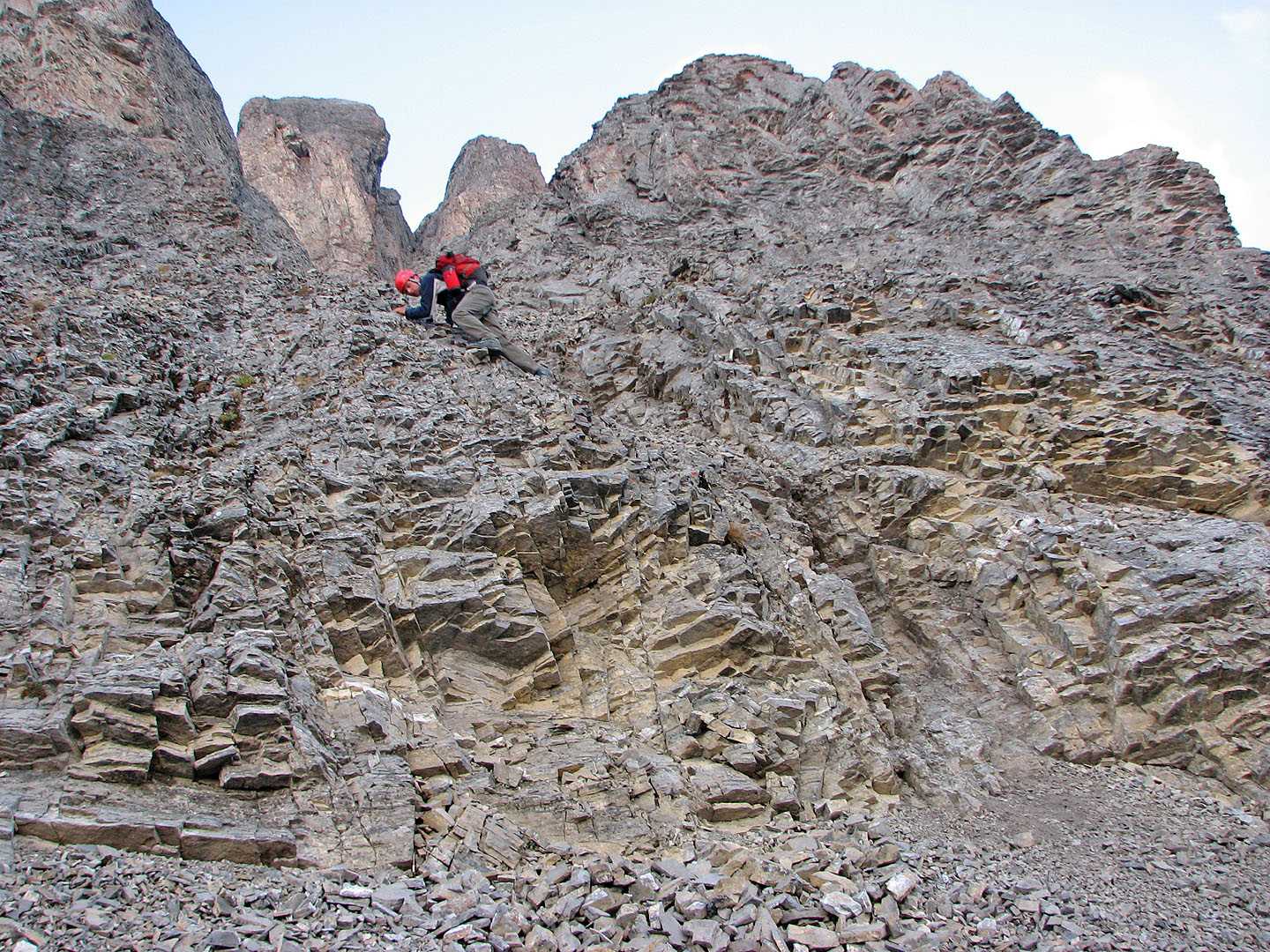
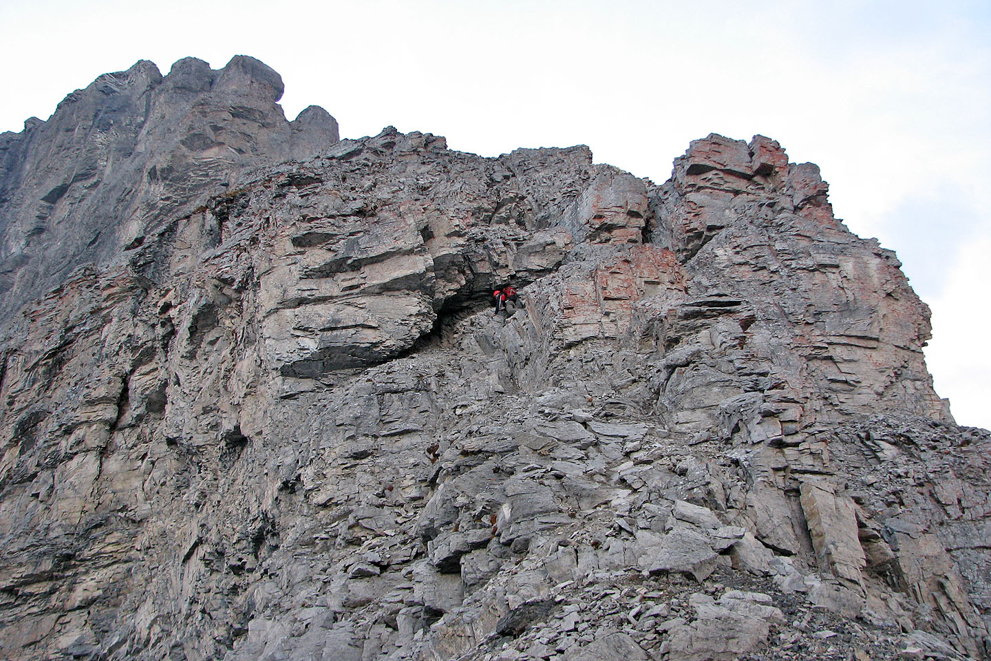
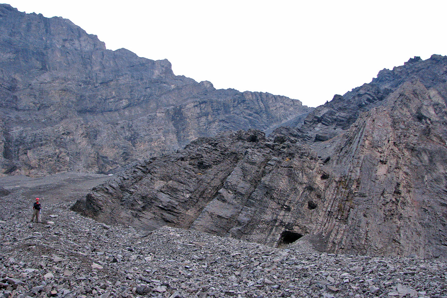
Raff studies a cliff band rife with loose rock. There's actually a path worn
along its base. We found a spot near the
middle of the path to ascend.
Looking down from the cliff band
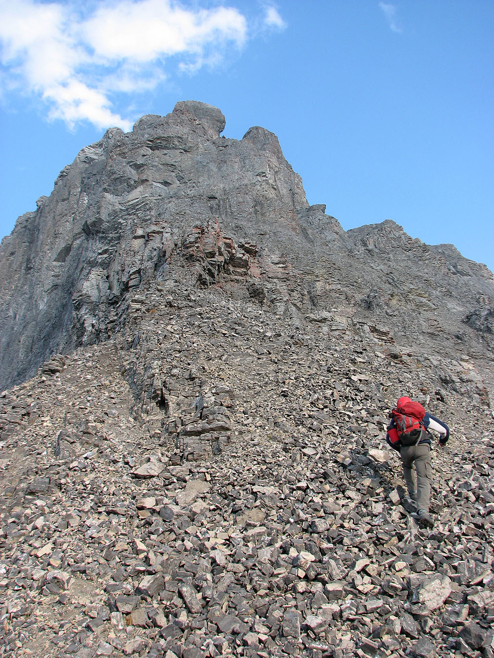
Raff scrambled straight up from the gully below the summit, while I walked up
the ridge on the left
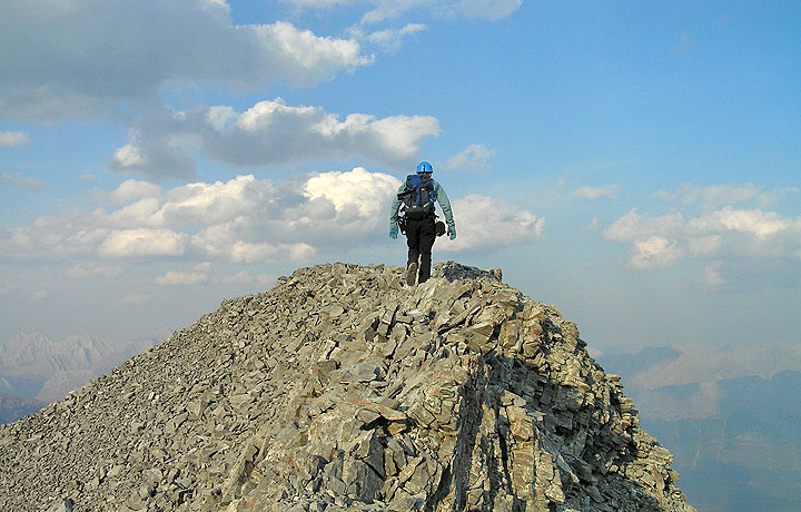
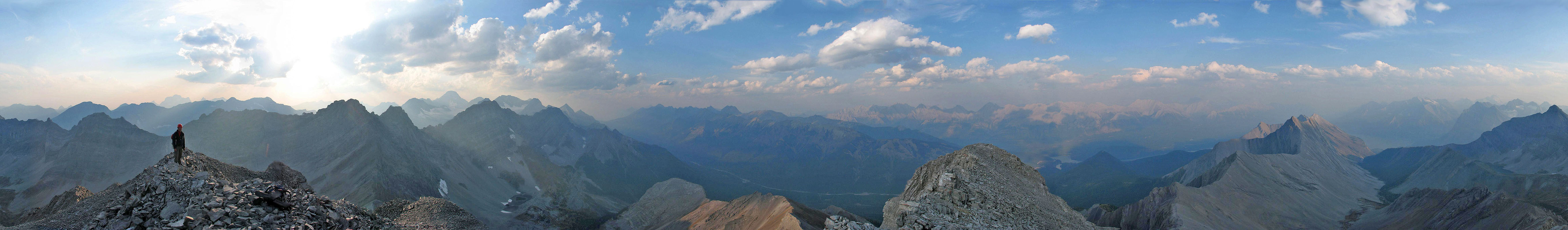
Arriving on the summit
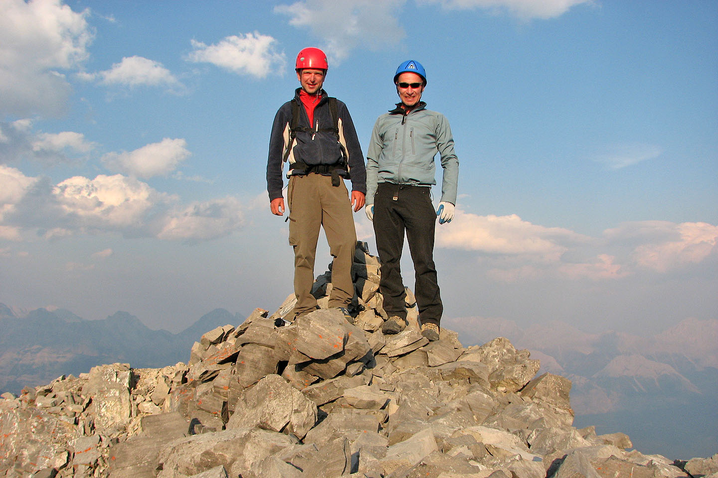
On the summit
Mount Invincible appears on our left as we descend
Raff appears to be running below the rocky towers
The setting sun turns the rocks orange
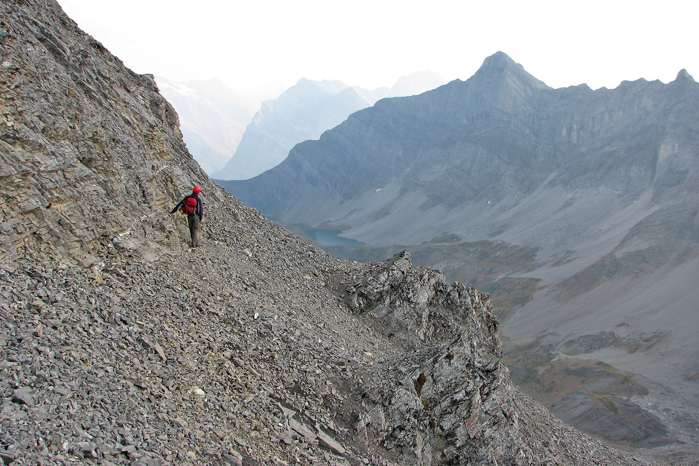
Coming down the cliff band
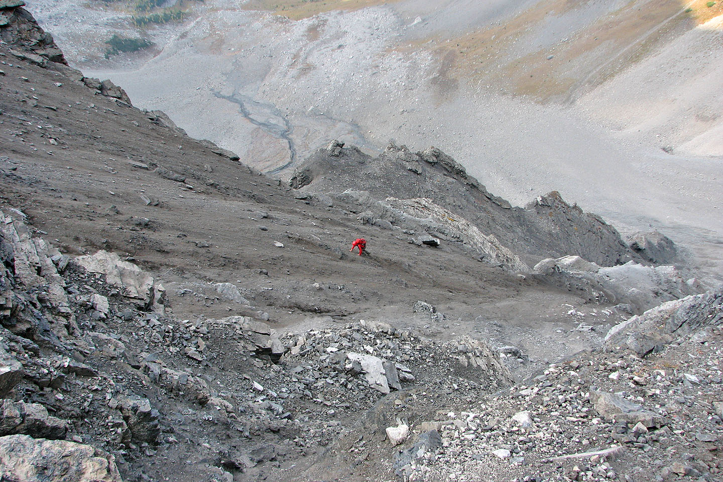
Raff climbs down to the col. Mild exposure and loose rock here.
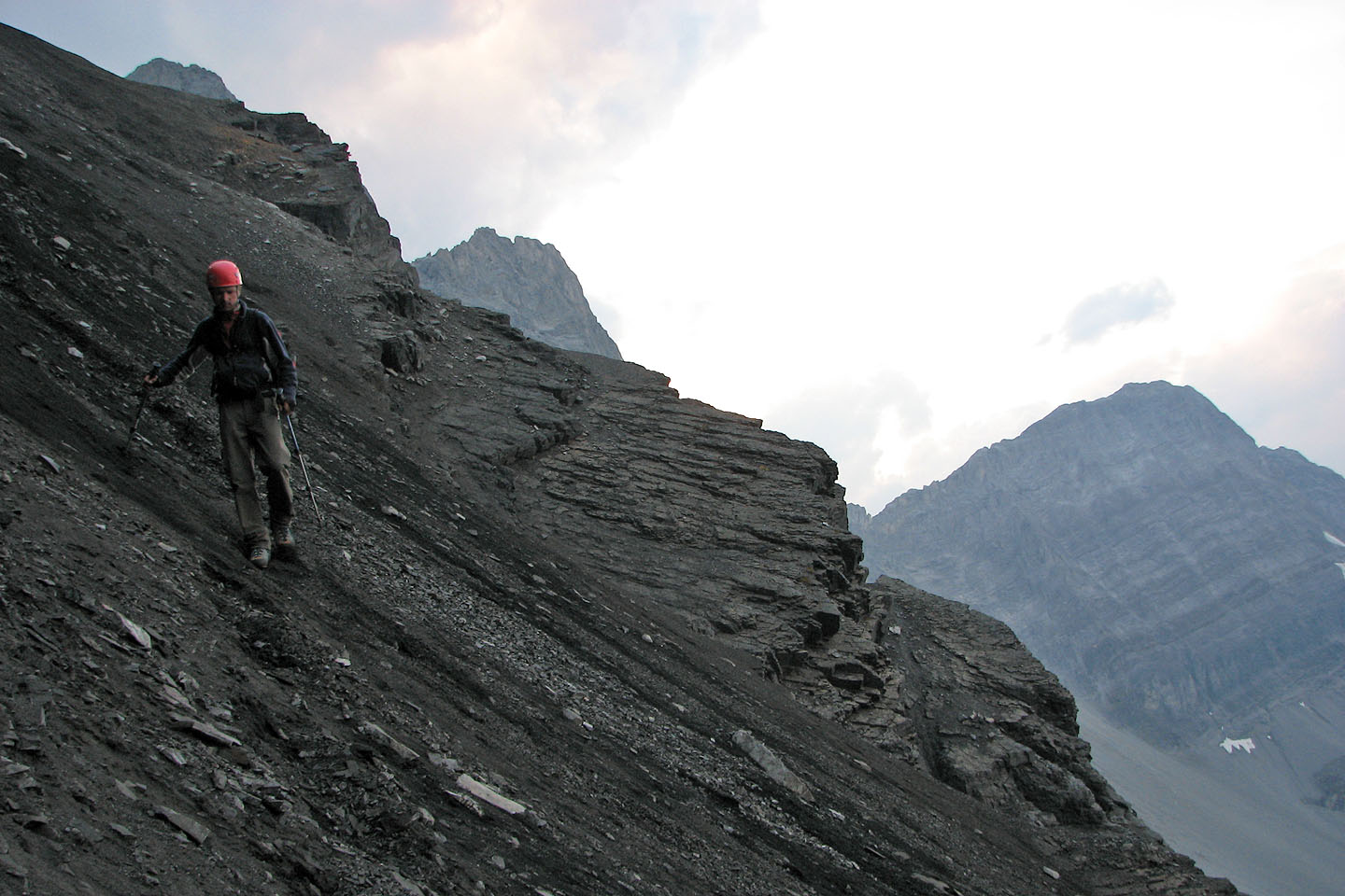
Coming down from the col
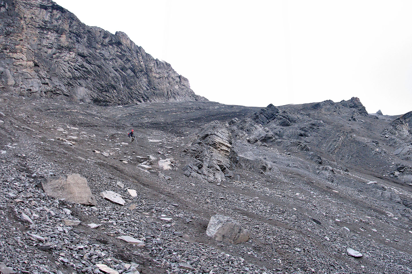
Halfway down the gully, the black dirt gives way to gray scree
Daylight is going fast
The last photo I took because of pending darkness
82 J/11 Kananaskis Lakes