bobspirko.ca | Home | Canada Trips | US Trips | Hiking | Snowshoeing | MAP | About
OXO Puzzle Peak
Icefields Parkway, Banff National Park, Alberta
July 29, 2023
Distance: 12.7 km (7.9 mi)
Cumulative Elevation Gain: 922 m (3025 ft)
OXO Puzzle Peak is best known as a ski tour rather than a climb. I found no instance of anyone doing it in the summer, although Vern Dewit's climb up OXO Peak was helpful for the approach. Vern calls OXO Peak a “dangerous loose mountain” and doesn't recommend it. Fortunately, OXO Puzzle Peak, a high point on the east end of the OXO massif, is more benign, little more than a steep hike. But routefinding would be another matter. Aiding me in my effort to reach the summit were Dinah, Zora, Christine, Jonathan and Bernadette.
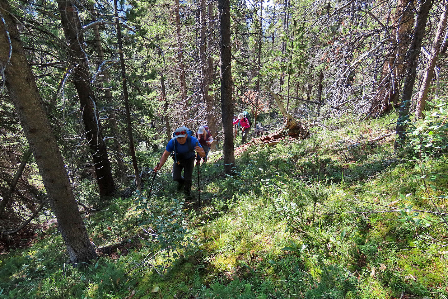
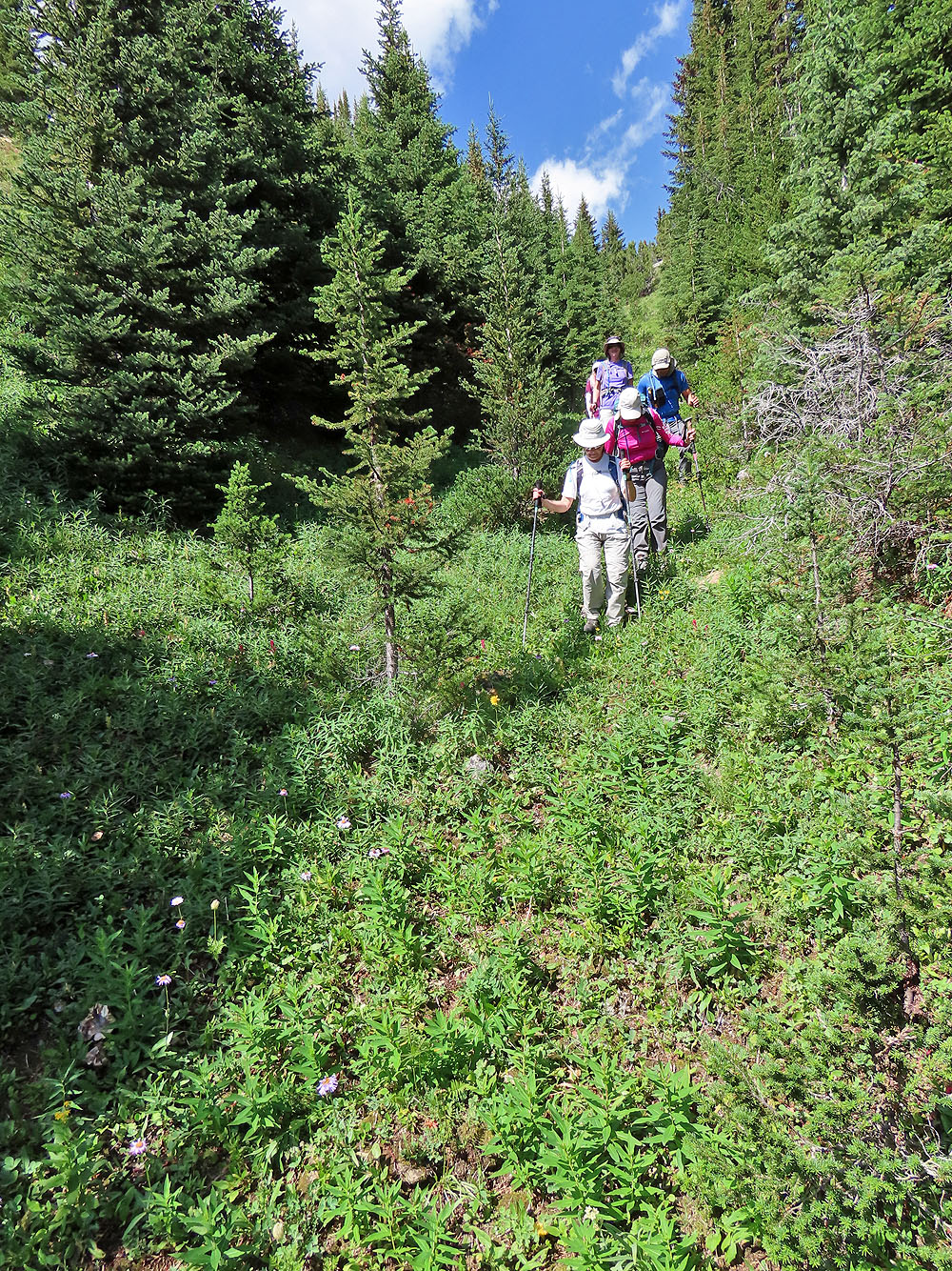
From the Mosquito Creek trailhead, we started up the trail. After 2.5 km, we left the trail earlier than Vern suggests to take a gentler angle. The bushwhacking wasn't difficult, and we kept to a fairly straight line.
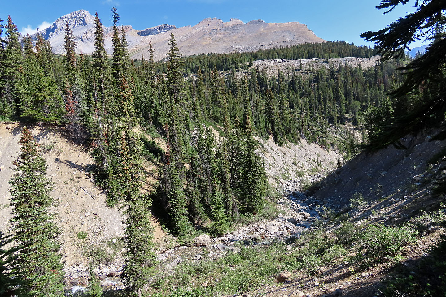
Our first objective was a creek crossing at the end of the valley headed by Dolomite Peak on the left and OXO Peak on the right. We arrived at the creek 100 m short of our objective, not realizing it made a huge difference. We gazed down at the water in a deep gorge before hiking a short distance and crossing the creek effortlessly.
After crossing, we searched for a trail that Vern mentions. We got on a path heading right, but it soon ended. After meandering, we found the correct trail. The trail, we learned on our return, disappears abruptly well before the creek. It's best to use our descent route.
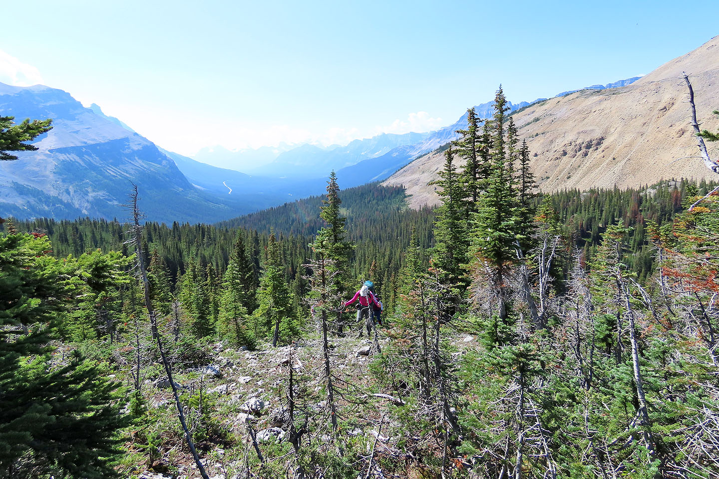
We followed the trail until it disappeared in a glade. You can continue straight, up a pleasant, narrow corridor, but to study our next move, we climbed the slope on our right. From a vantage point, we viewed the broad, rubbly slope leading to the summit of OXO Puzzle 500 m above us. A couple of routes looked feasible, but we were too far to assess the stability of the rocks on the slope. But to reach the base of the slope for a closer look, we had to stumble across extensive rock fields.
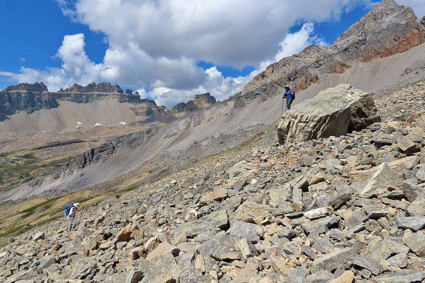
After drawing nearer to the slope, we settled on ascending the middle where the talus appeared stable. Halfway up, we realized the stony slope on our right was smoother and headed there. We welcomed the reprieve from the talus, but we would later hit rubble below the summit.
As we neared the summit, the grade increased along with the size of the rocks, and we gratefully stopped at the top. There was a flurry of activity as people took out their smartphones and photographed others standing with a background of distant peaks. Then we settled down to relax. After spending nearly an hour on top, we started down.
Although the stable talus slope worked well on our ascent, we wished to avoid it going down. We kept left, quickly descending a slope covered in vegetation and scattered stones. Lower down, though, we encountered loose rock, but eventually we joined our ascent route. After reaching the trees, the route was remarkably easy. We followed the grassy corridor to the trail and the trail almost to the creek. Sticking to our track, we returned to Mosquito Creek Trail.
It's puzzling that scramblers have overlooked this peak. It's in full view from Mosquito Creek Trail, yet scramblers, myself included, have passed it for bigger peaks like Mosquito Mountain and Quartzite Peak. Like those peaks, we enjoyed climbing OXO Puzzle Peak and think it's worth a summer ascent.
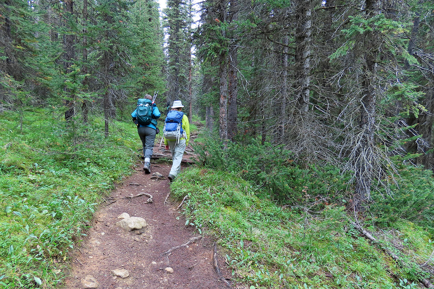
Hiking up Mosquito Creek Trail
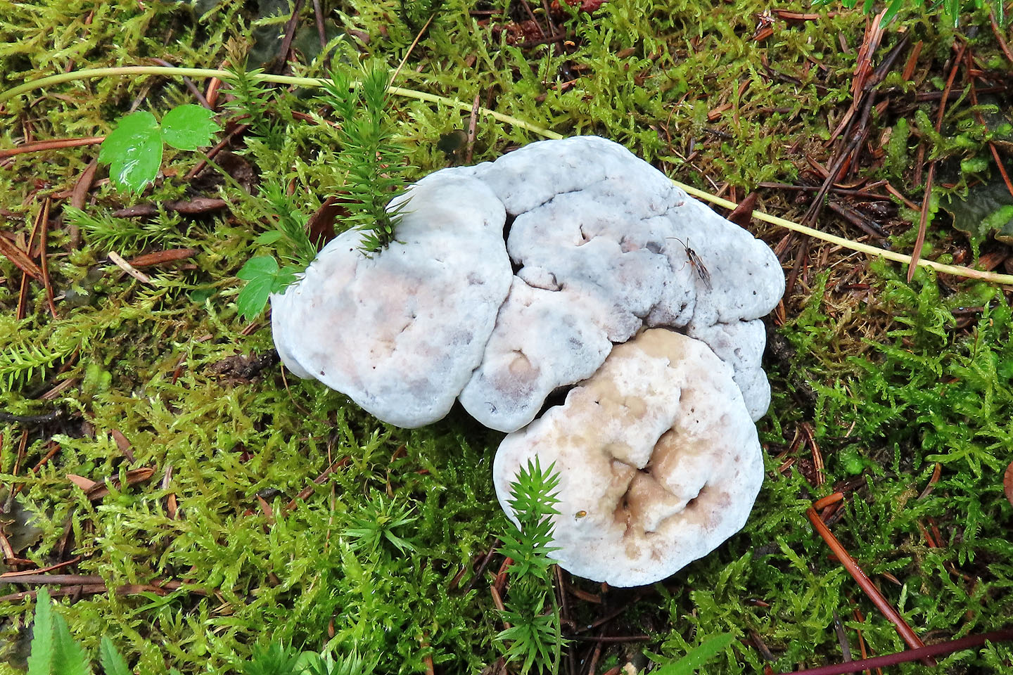
Along the trail, we passed unusual mushrooms
OXO Puzzle is the centre high point (mouse over for a close-up). We left the trail soon after here.
It was bushy at first, but higher up, the slope was often pleasant, and we enjoyed the soft moss underfoot
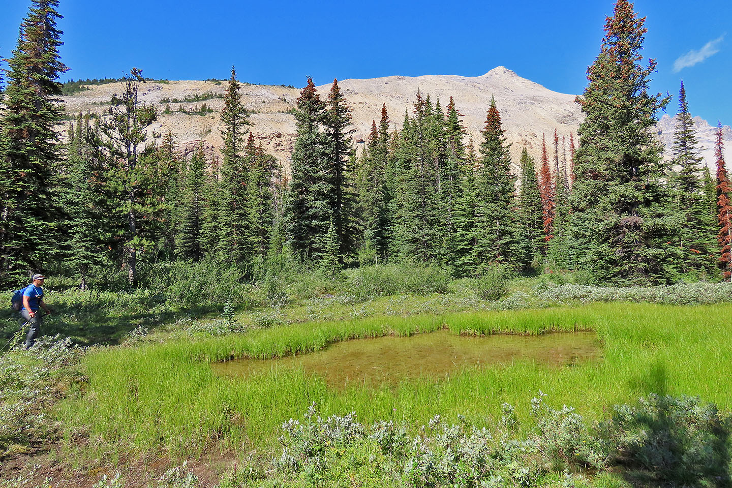
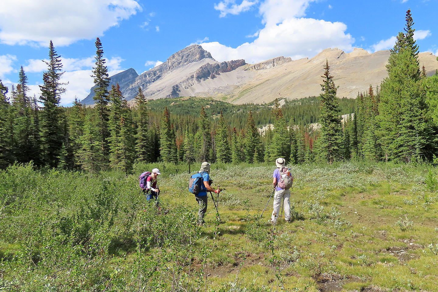
Jonathan stops to view a pond. Behind is the east end of Dolomite.
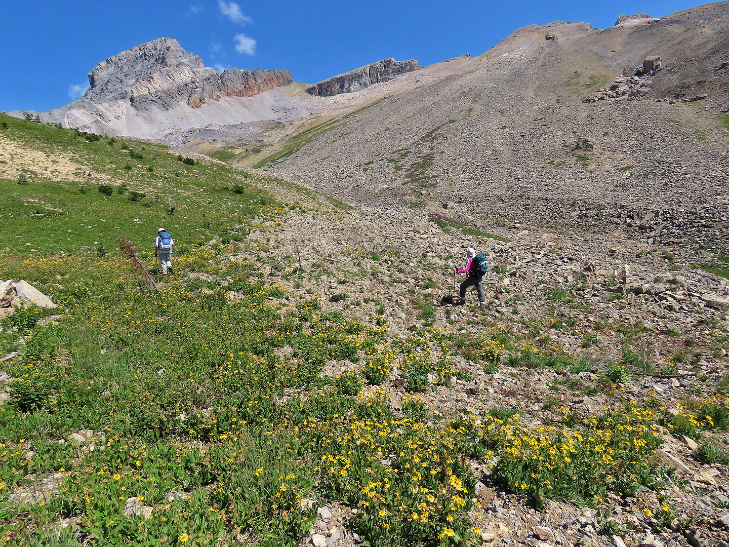
Fortunately we didn't have to cross the creek here! OXO Puzzle Peak is in the centre.
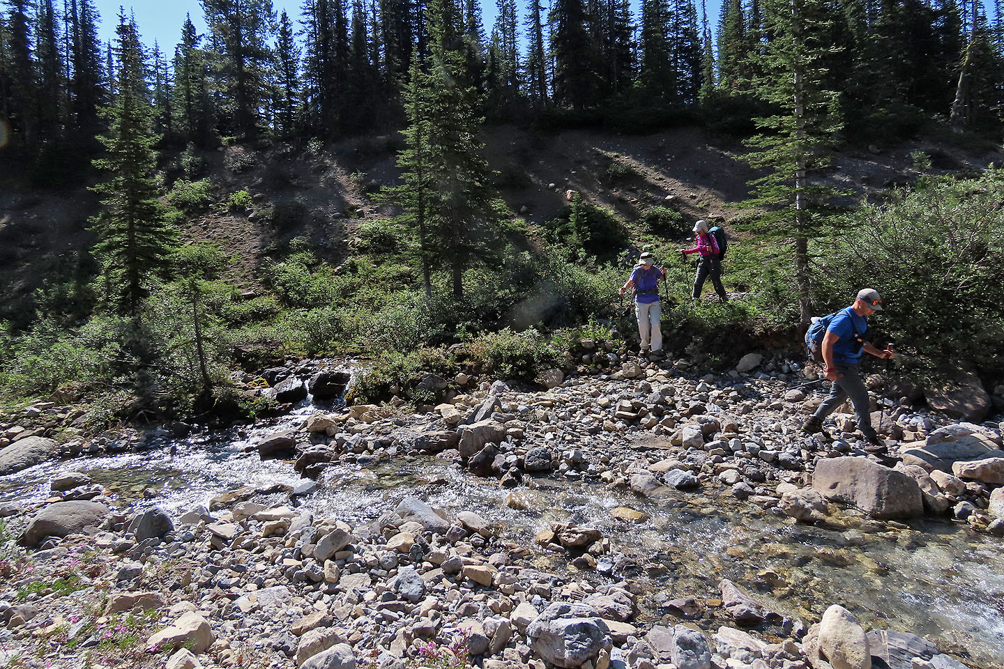
Looking back at the creek crossing
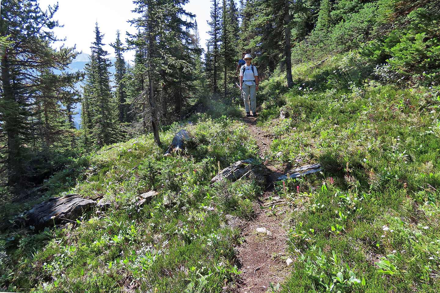
Following the trail
Dinah ascends a rise where we'll get a good look at OXO Puzzle
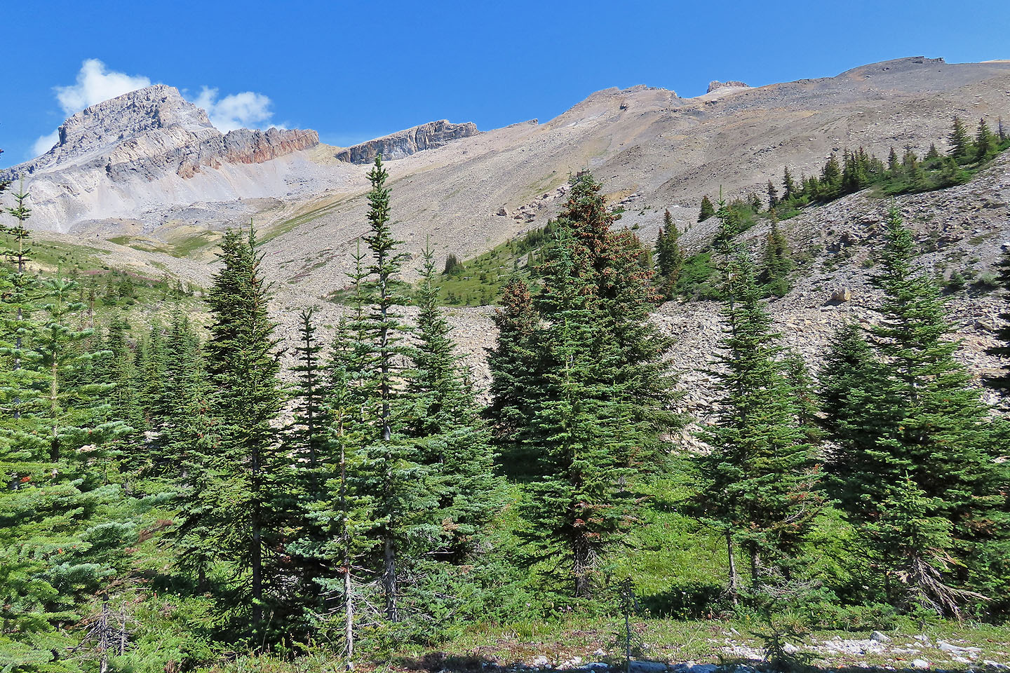 We considered two routes that took advantage of vegetation (mouse over). But to reach the bottom of the slope, we had to cross a lot of rocks.
 We
tried to steer clear of the rock piles only to find rocks mixed with the vegetation
We
tried to steer clear of the rock piles only to find rocks mixed with the vegetation
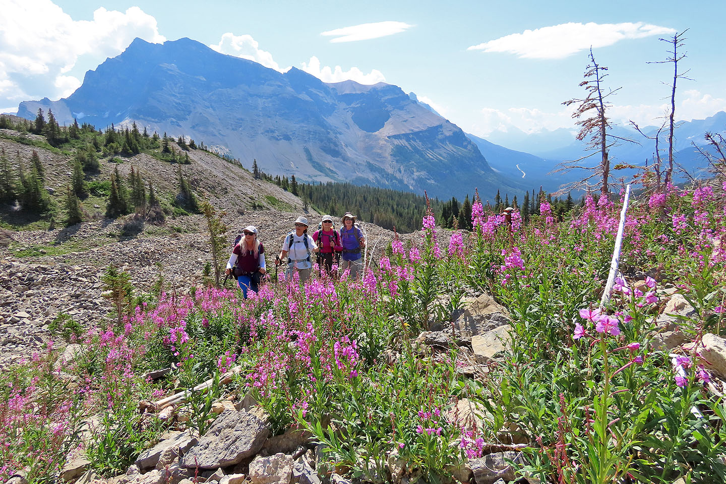
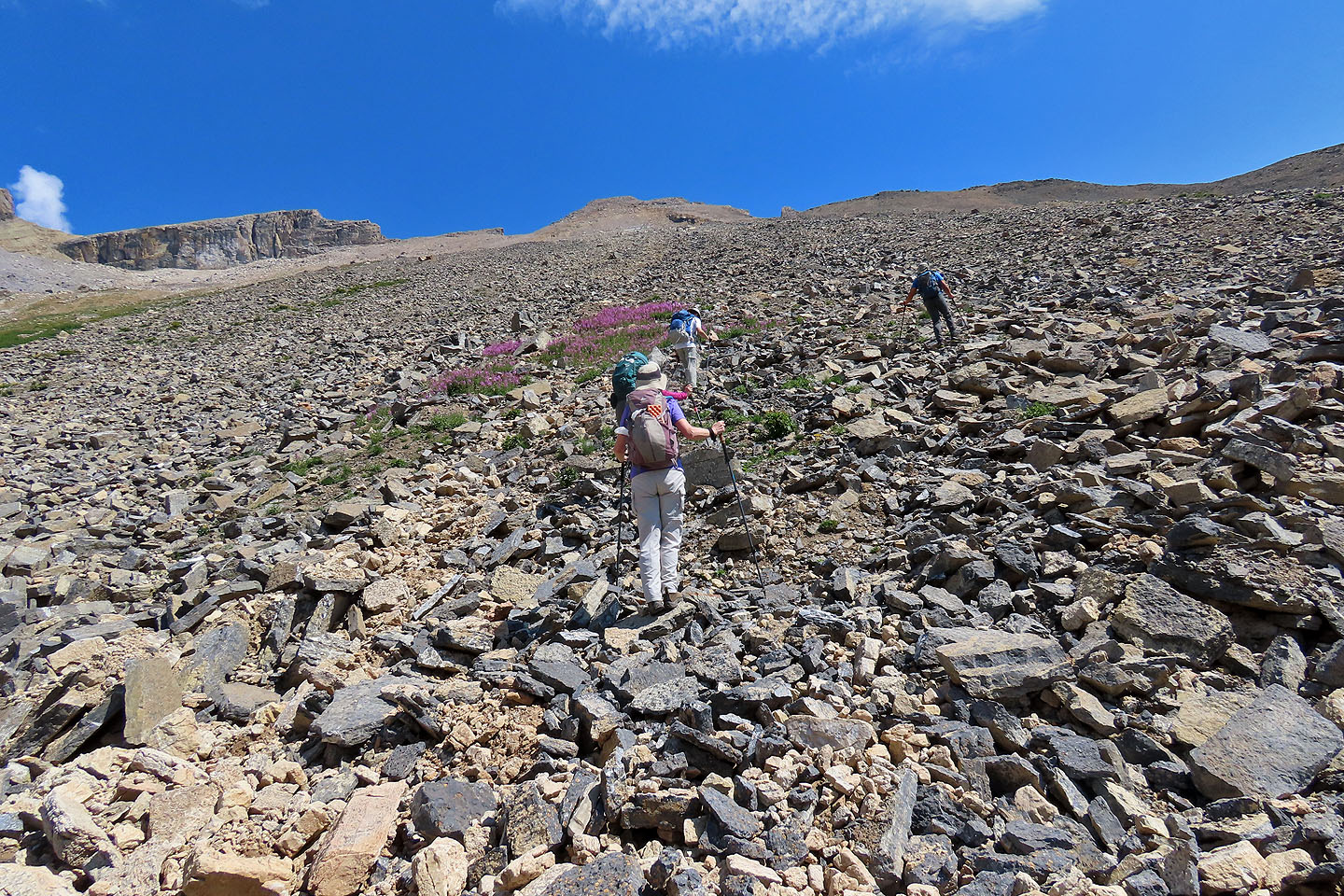
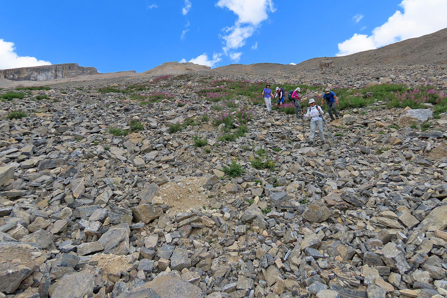
We headed to the fireweed in the middle of the rubbly slope. The summit appears above Dinah.
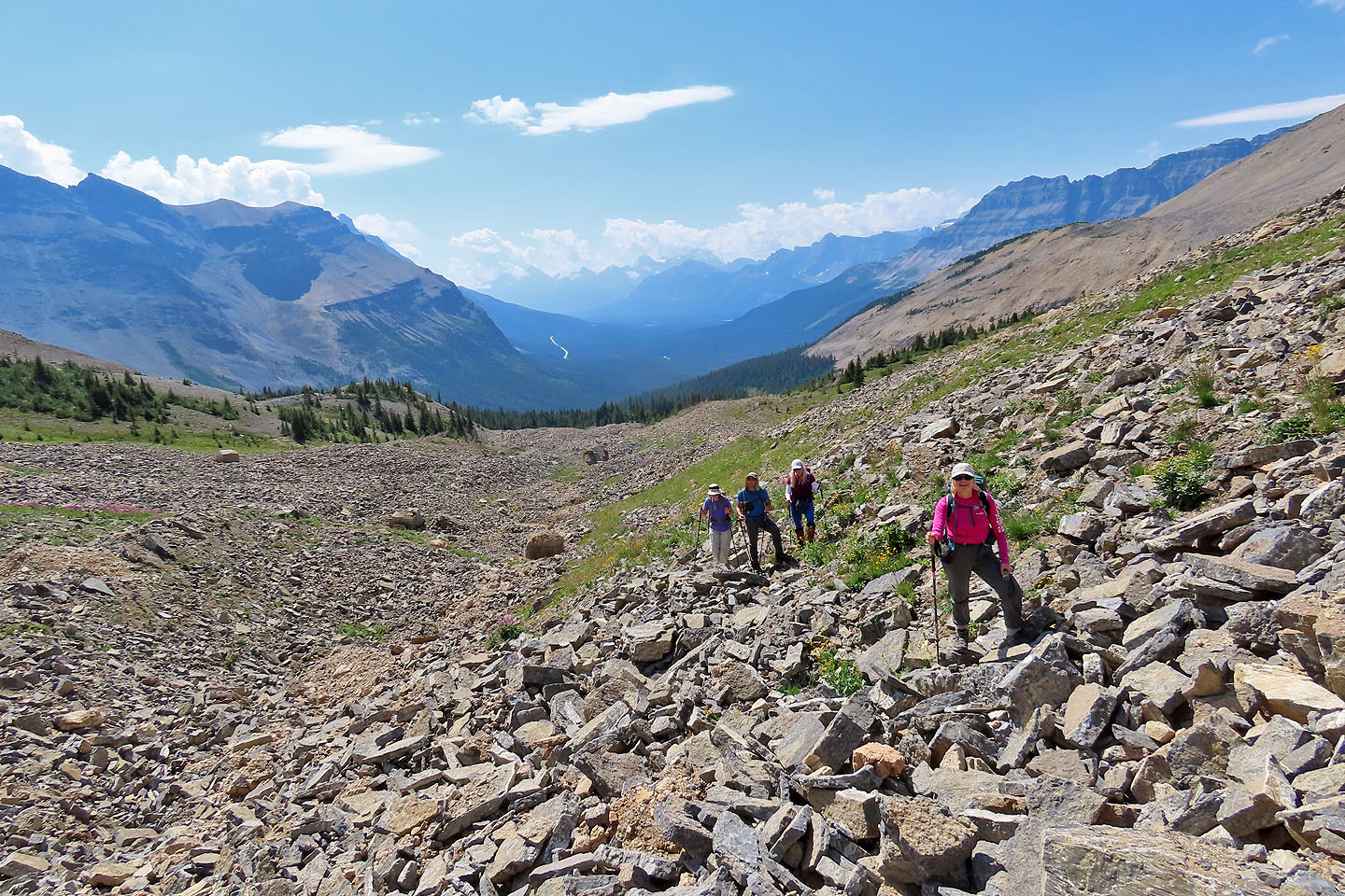
Looking back at the trees in the centre that we emerged from
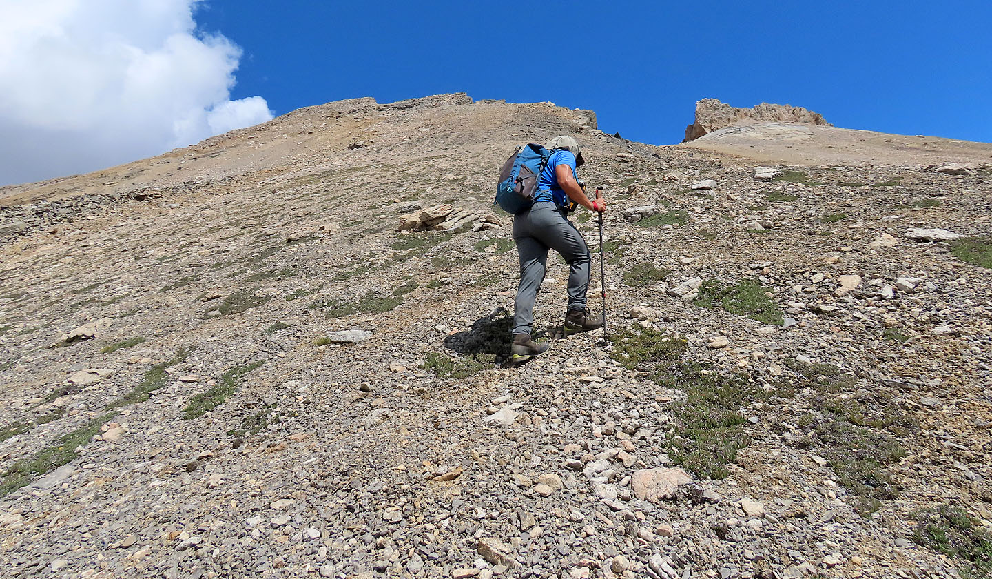
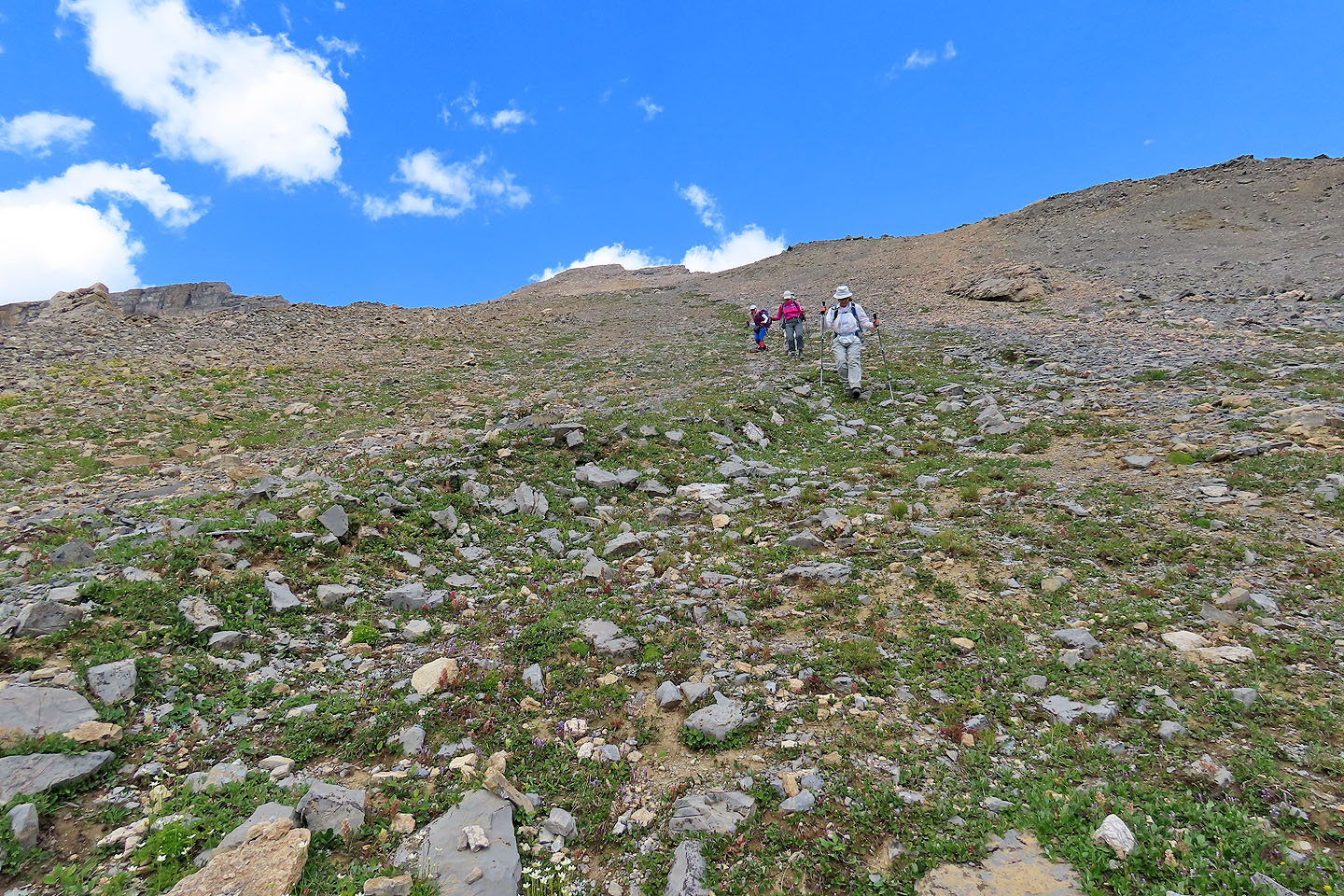
Heading to the summit 400 m above us
Looking back after climbing a short way up
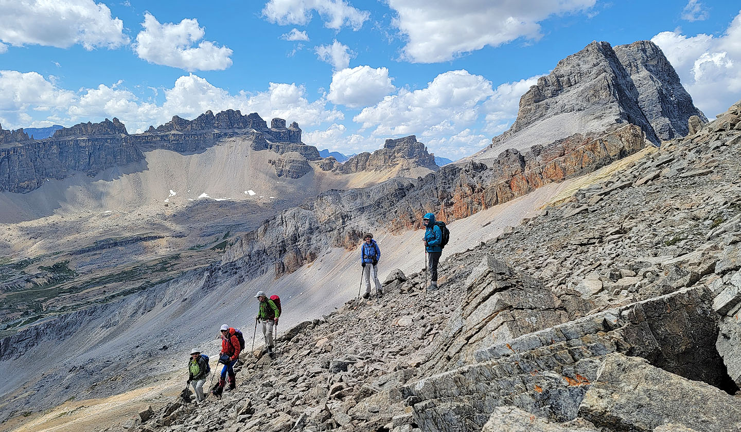
Jonathan poses on a boulder. Dolomite Peak on the left (mouse over for a close-up).
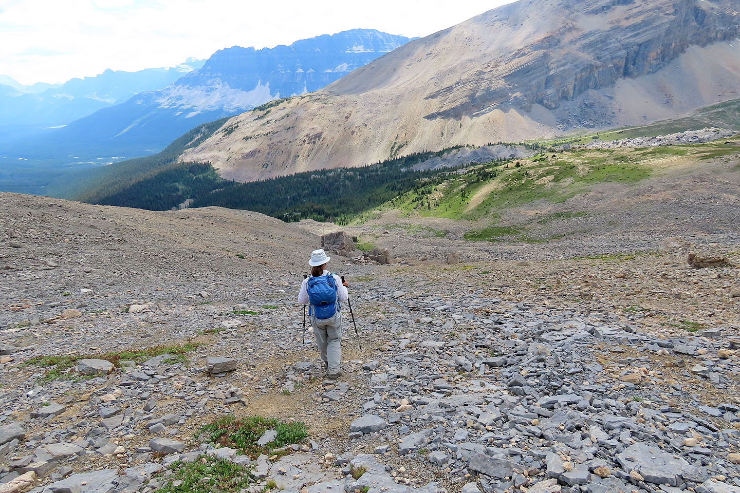
Eventually we moved right to get on a smooth slope
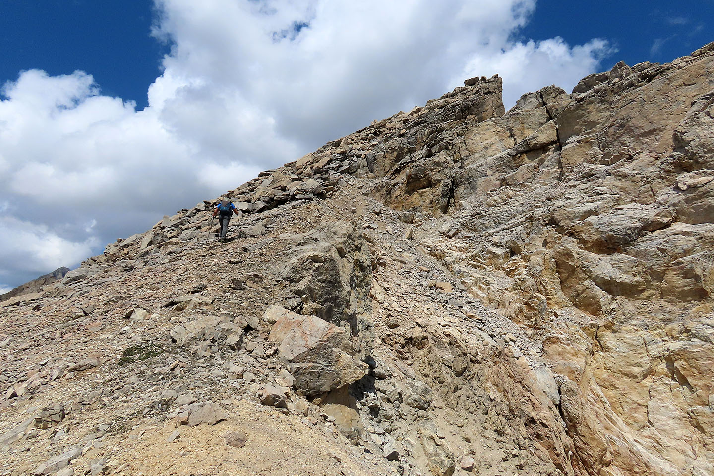
Jonathan heads to a false summit
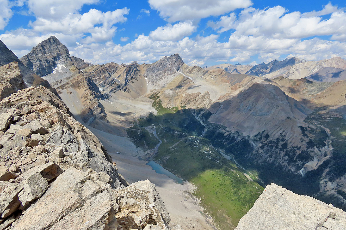
Hector Lake appears on the left
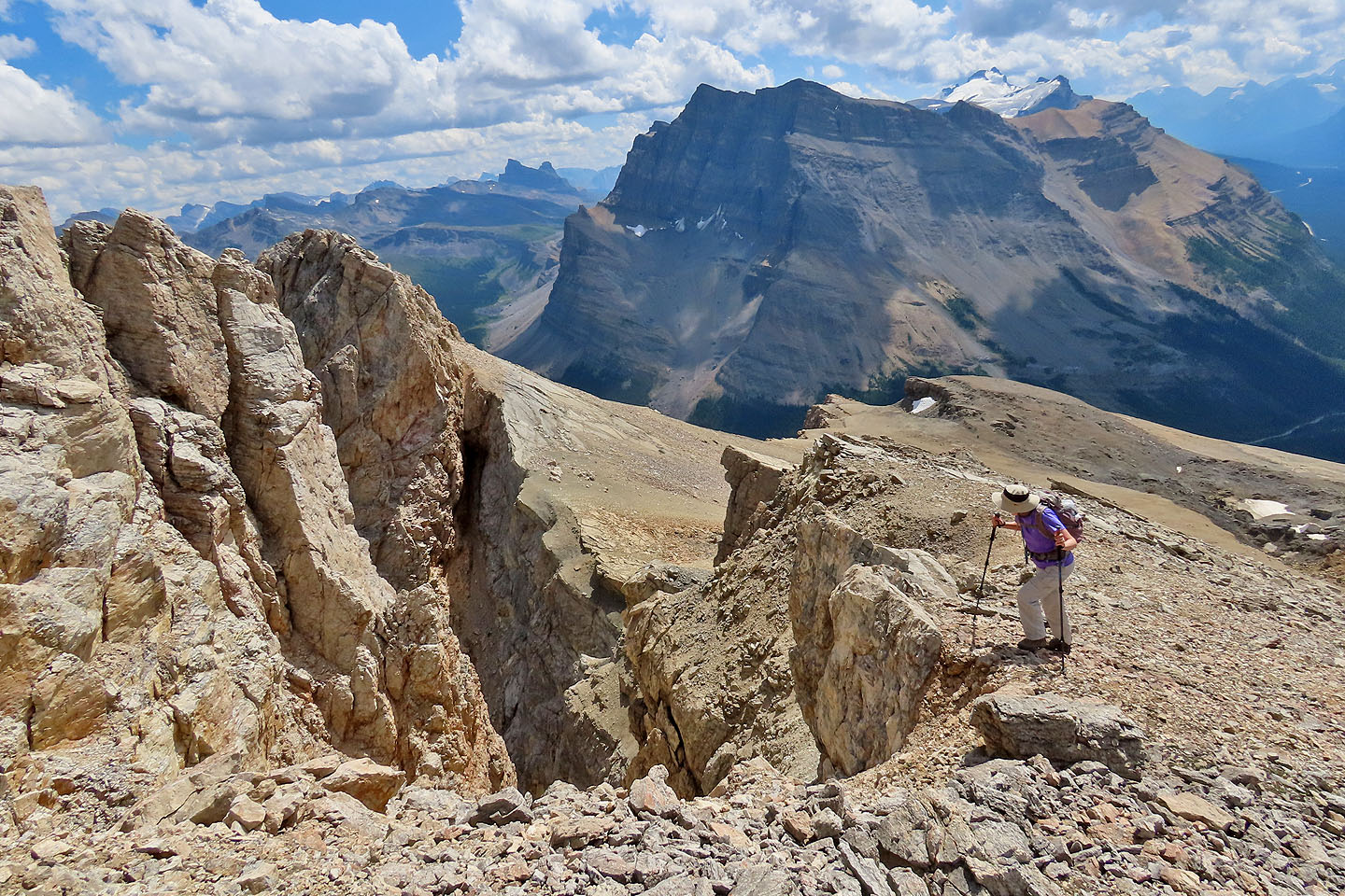
Bernadette gazes down a steep gully below the summit. Noseeum Peak and Mount Hector in the background.
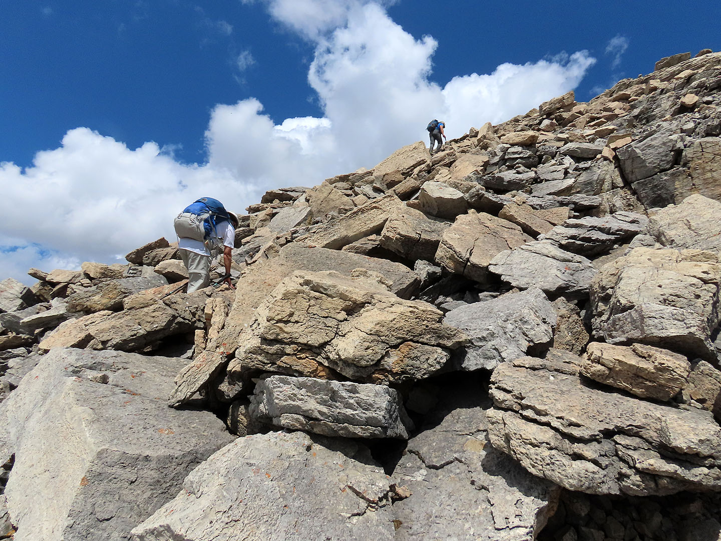
Jonathan and Zora take the final steps to the summit
Looking back at the false summit
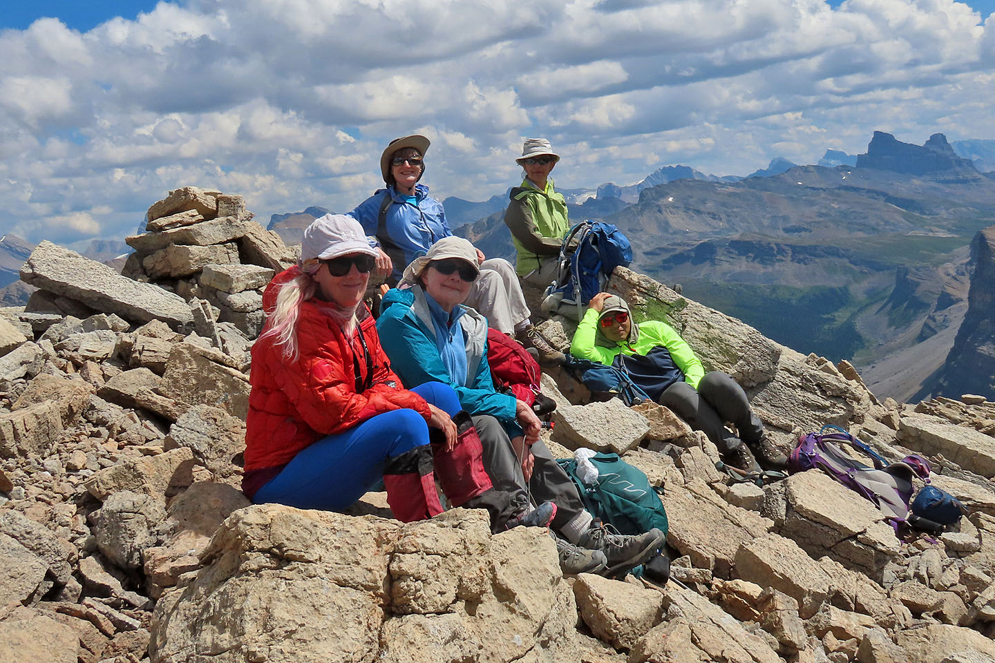
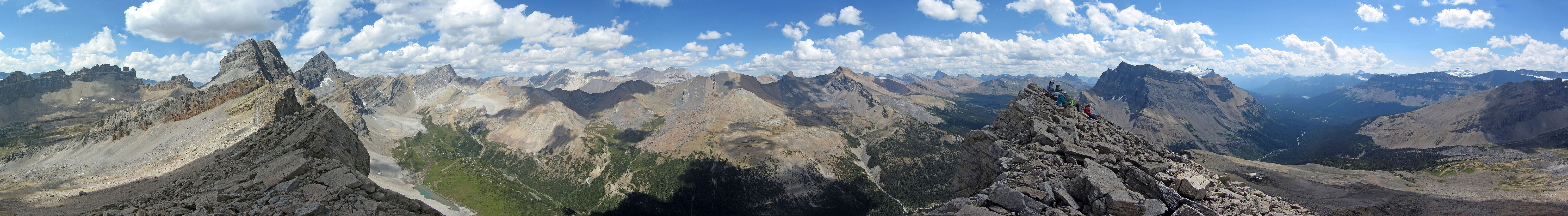
Christine, Bernadette, Dinah, Zora and Jonathan repose on the summit
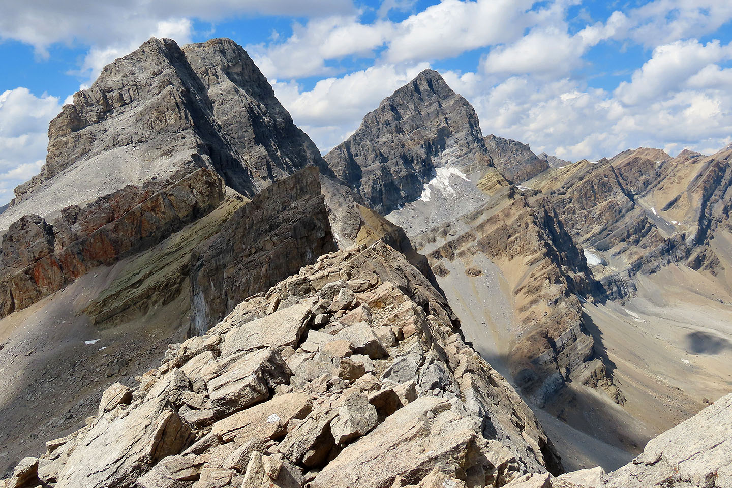
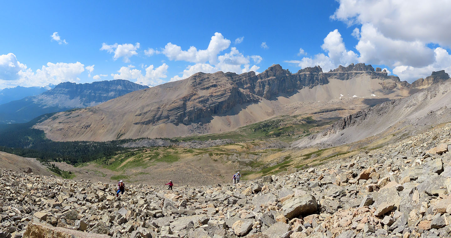
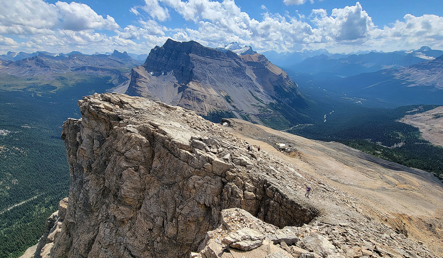
OXO Peak in the centre
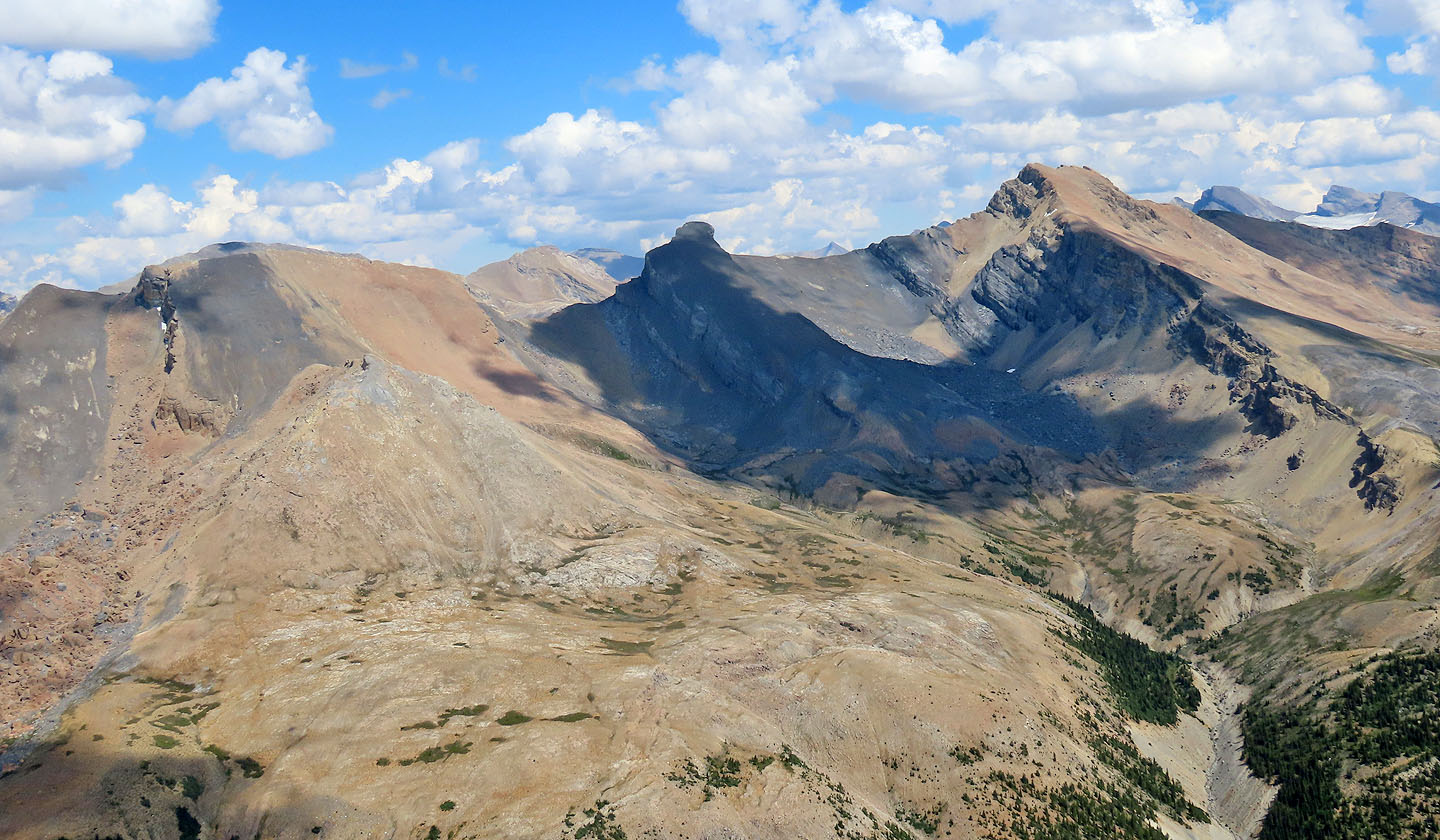
Quartize Peak, Ramp Peak and Mosquito Mountain
Looking north at Watermelon Peak in the centre
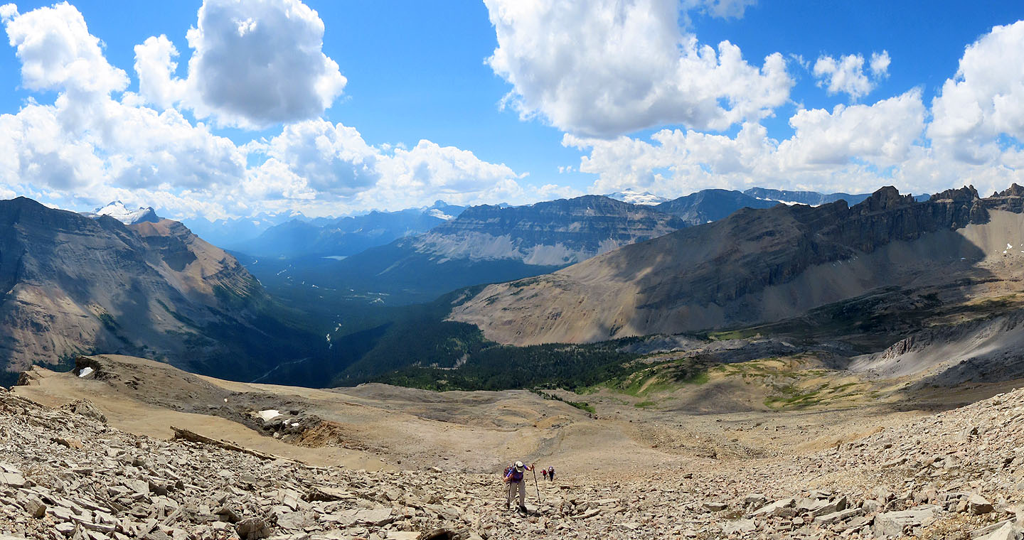
Coming down from the summit
We quickly came down the vegetated slope
We made our way back down to the valley
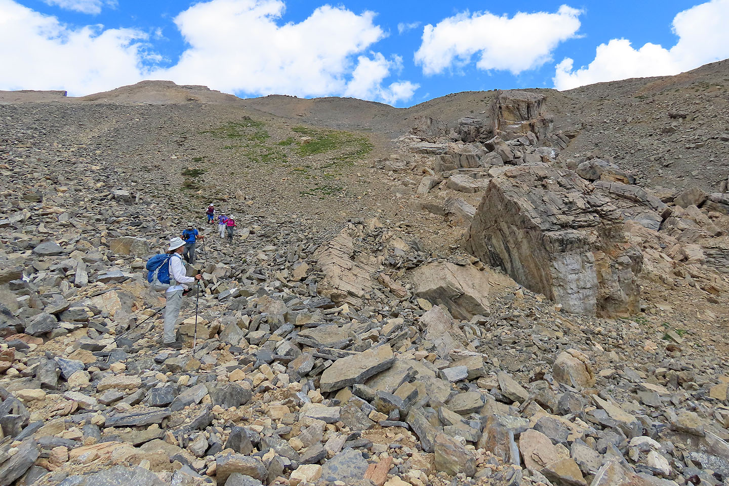
Zora pauses to look at house-size boulders near the bottom
We still have a great deal of rock to cover before we reach the trees
We came down a long, lovely corridor
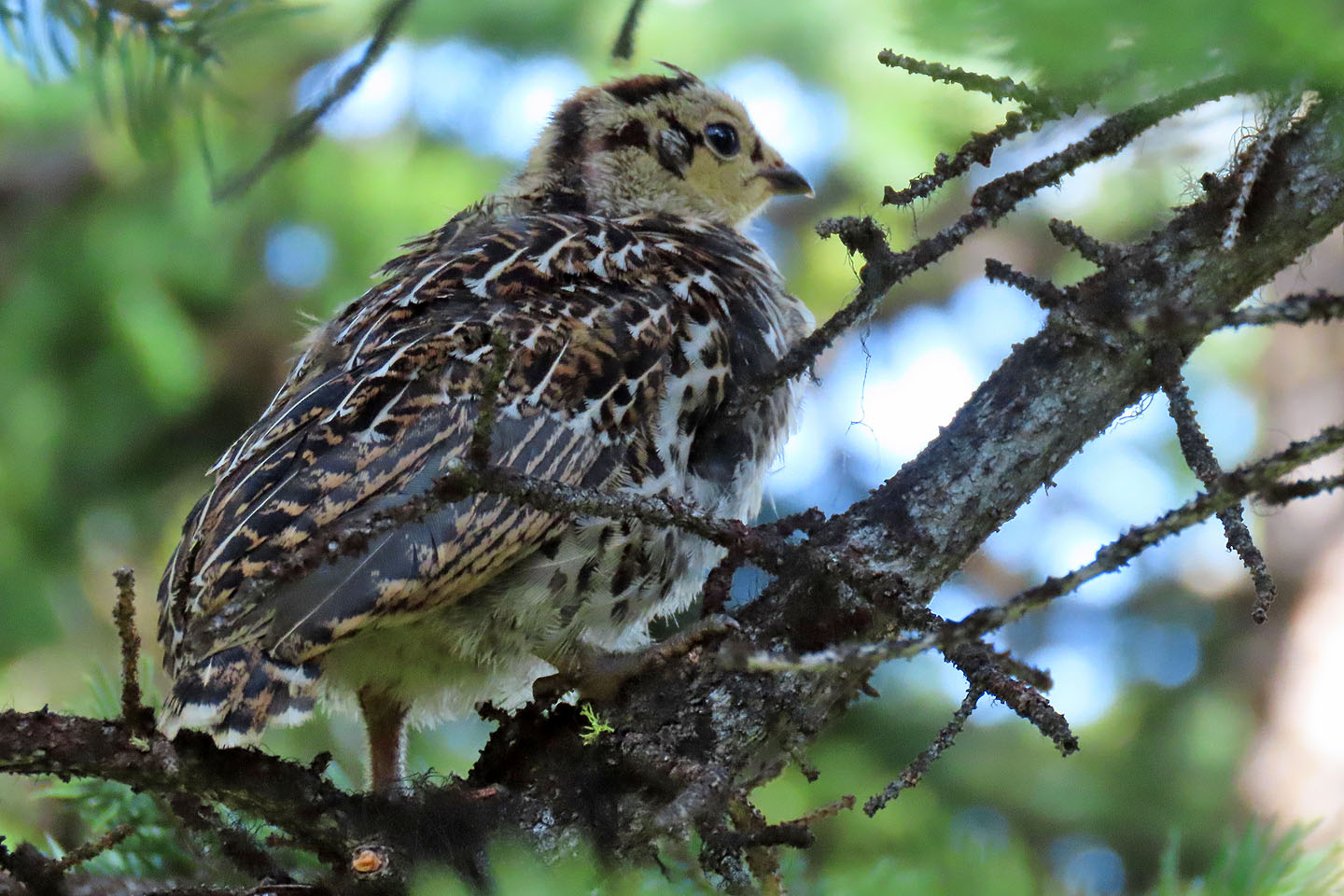
A startled grouse chick flew to a tree, but the mother (mouse over) remained by our feet
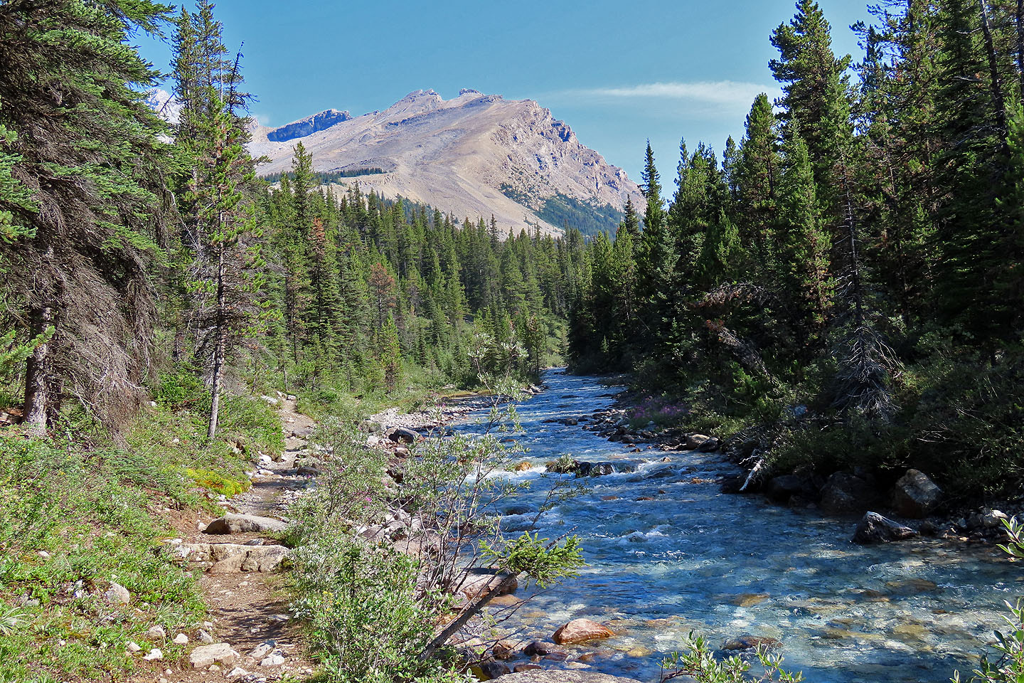
From a clearing in the valley, we looked back at OXO Puzzle Peak
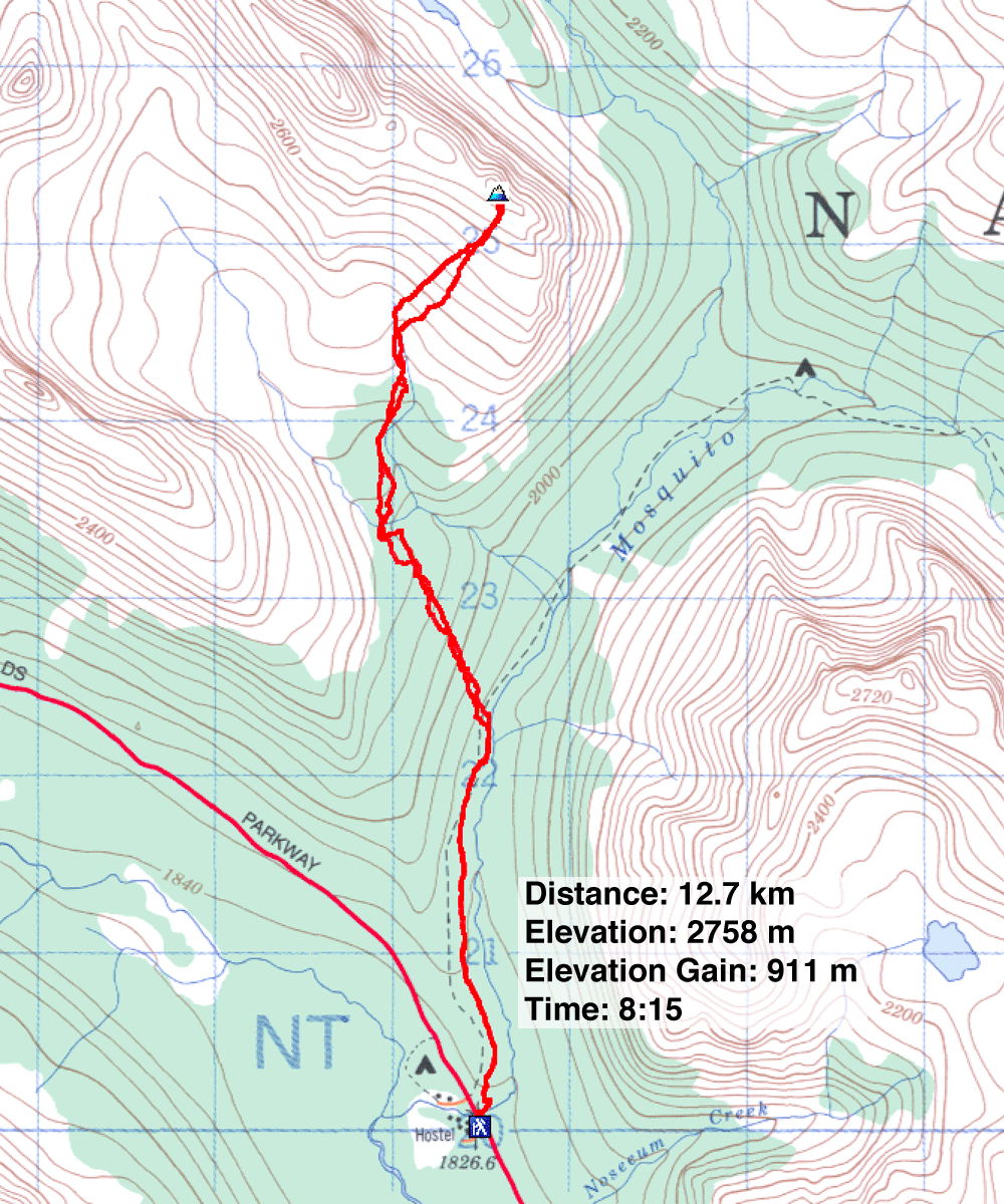
82 N/9 Hector Lake