bobspirko.ca | Home | Canada Trips | US Trips | Hiking | Snowshoeing | MAP | About
Mosquito Mountain
Banff National Park, Alberta
September 13, 2008
Distance: 18.0 km (11.2 mi)
Cumulative Elevation Gain: 1150 m (3773 ft)
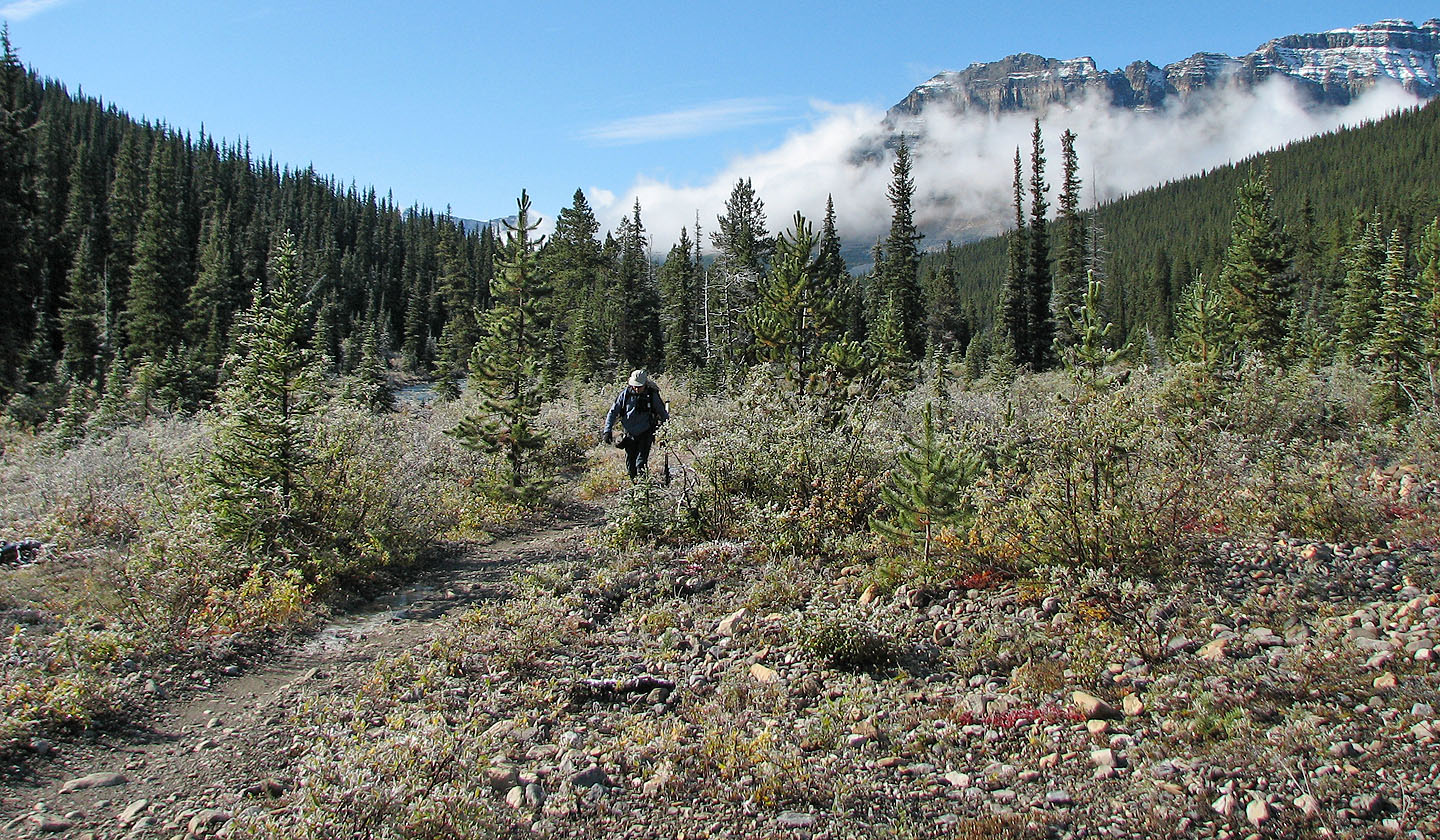
Inspired by Andrew Nugara's ascent of Mosquito Mountain, Dinah and I wanted to do it ourselves. We parked at the Mosquito Creek Campground, crossed the highway and started up the trail. Although the trail begins in trees, it soon opens up providing views of Quartzite and Ramp Peaks as well as Mosquito Mountain.
After hiking 5.1 km, we unexpectedly reached the campground. I was confused until I realized the NTS map showed the campground wrongly placed 500 m farther up the trail. After hiking another kilometre or so we left the trail, crossed the creek and bushwhacked up the southwest slopes.
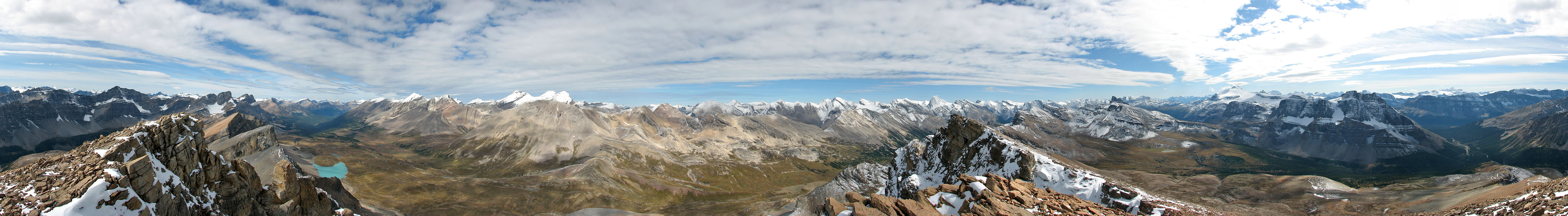
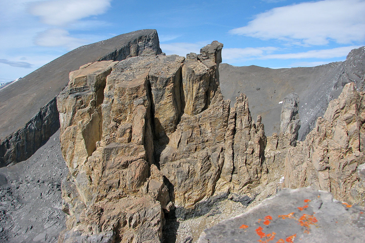
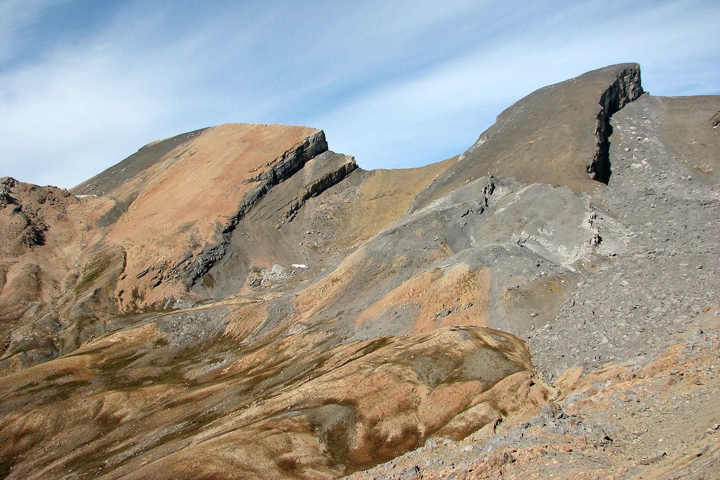
After breaking out of the trees, we could see the summit, but we decided to head to the ridge that was still some distance away. We crested the ridge at some impressive pinnacles. After taking several photos we hiked to the summit.
A search of the summit cairn yielded a rusted tin containing a summit log dating back to 1979! As interesting as the register was, the alpine scenery captured our attention, from the turquoise tarns in the deep valleys to the tall, snow-capped peaks.
After a lengthy stay, we started back down. Rather than descend the SW slopes, we stuck to the SW ridge. Except scrambling up a chimney by the pinnacles, it was a ridgewalk. When the ridge ended abruptly in a steep, treed slope, we bushwhacked south toward Mosquito Creek and reached the trail 500 m west of the campground.
At the campground, we were surprised to see two sets of fresh bear tracks – a sow and a cub apparently – leading back to the trailhead. We continued down the trail mindful that we were following bear tracks. We soon encountered two women who were also headed back. They seemed nervous about the bears, and their agitated dog kept barking. The four of us hiked out together, but we never saw any bears.
It's a wonder Mosquito Mountain isn't better known since an easy ascent leads to beautiful alpine vistas. Perhaps we'll return to the area someday and see the views again from Quartzite and Ramp Peaks.
Postscript: After returning to the area, I found what I think is a better route to reach Mosquito Mountain. See Ramp Peak.
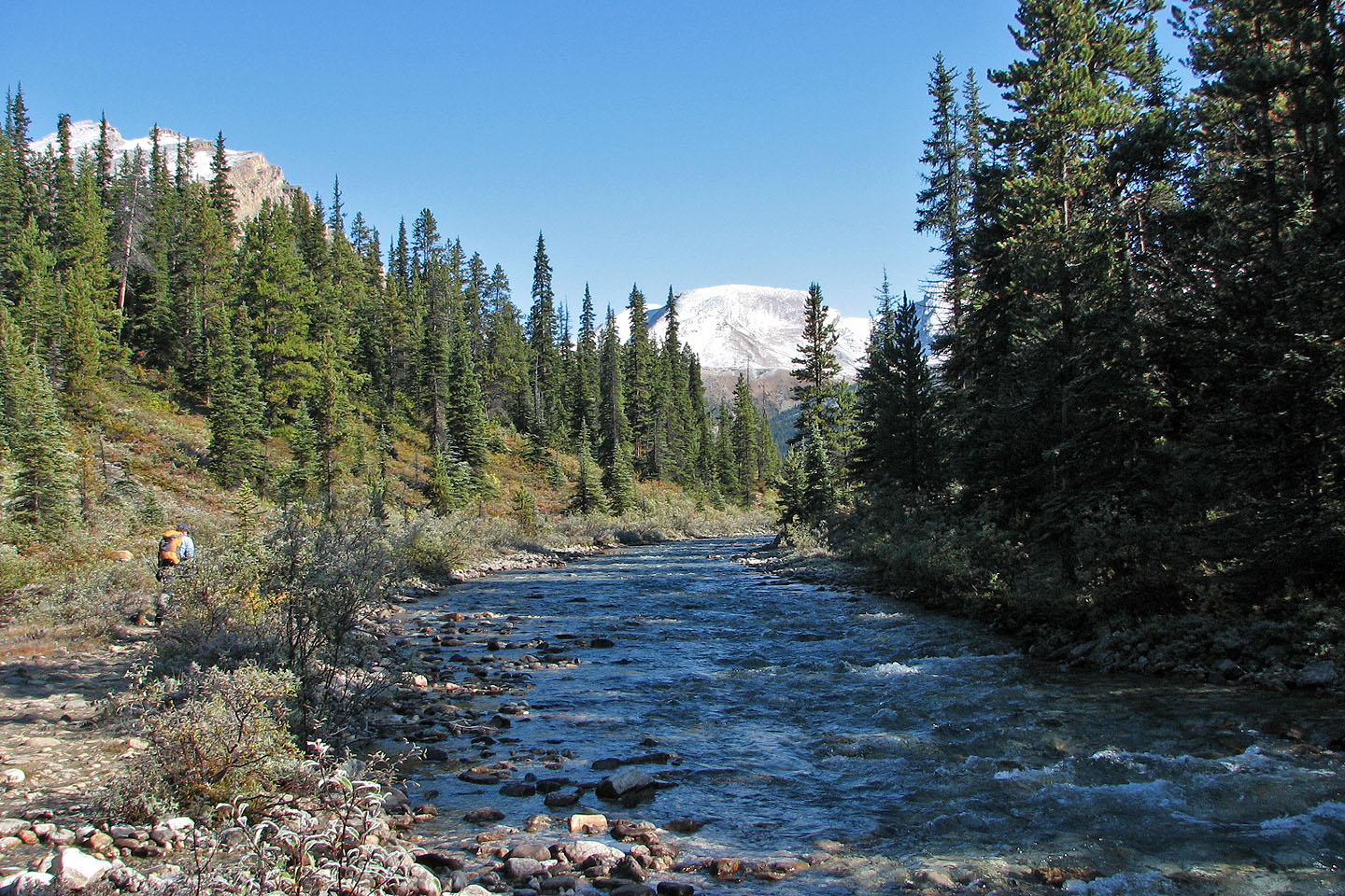
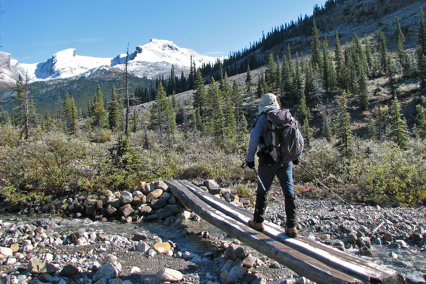
Following the trail alongside Mosquito Creek
Bow Peak rises behind us as we hiked up the trail
Ramp Peak and Mosquito Mountain ahead
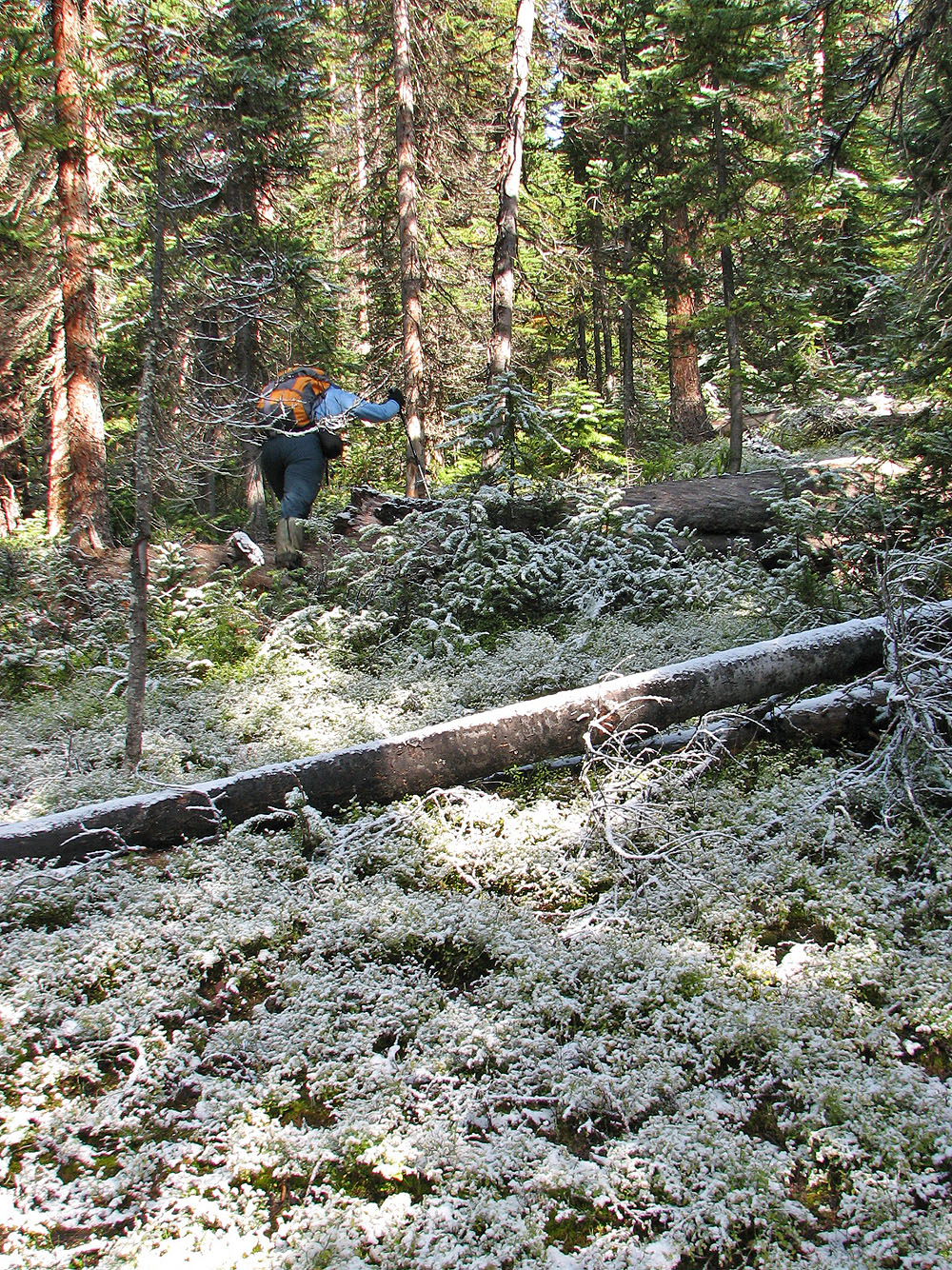
After leaving the trail we bushwhacked through frost-laden woods
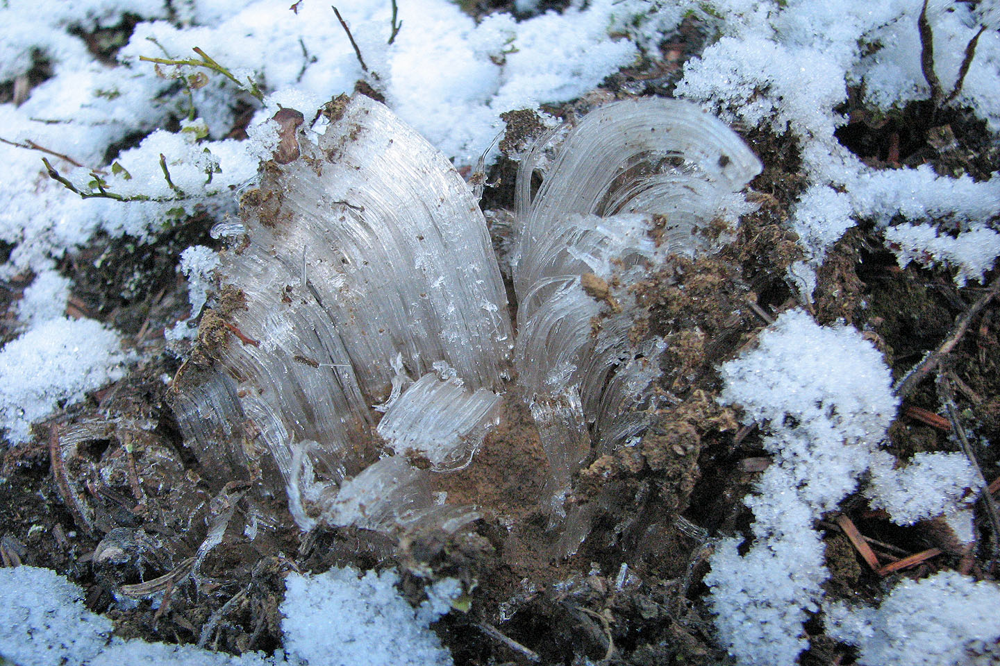
Ice needles – 2-3 inches long – were abundant on the forest floor
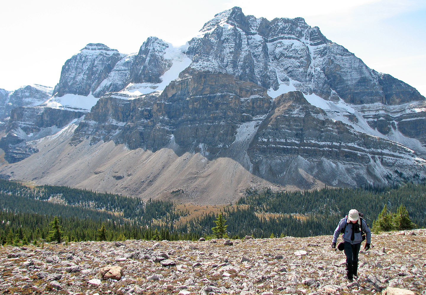
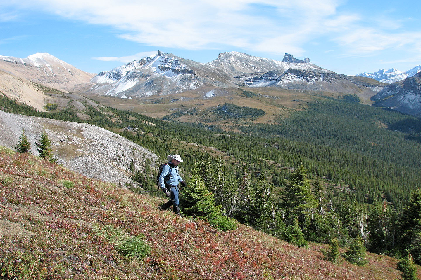
We broke out of the trees to see Noseeum Peak behind us
A unnamed peak sports a distinctive summit (mouse over)
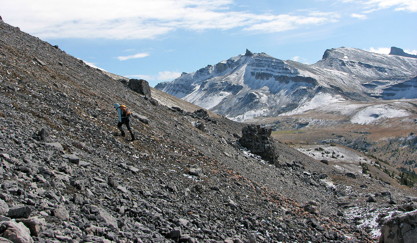
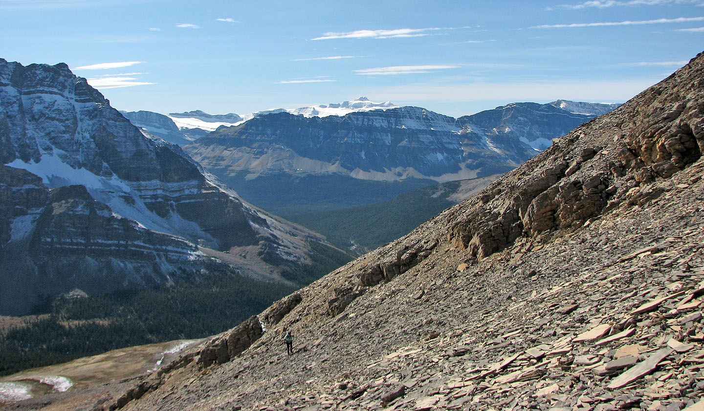
The boulder-strewn SW slopes look surreal
View to the SE includes Molar Pass (centre)
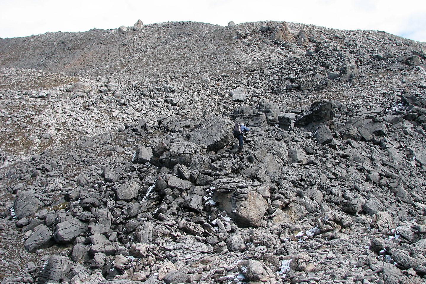
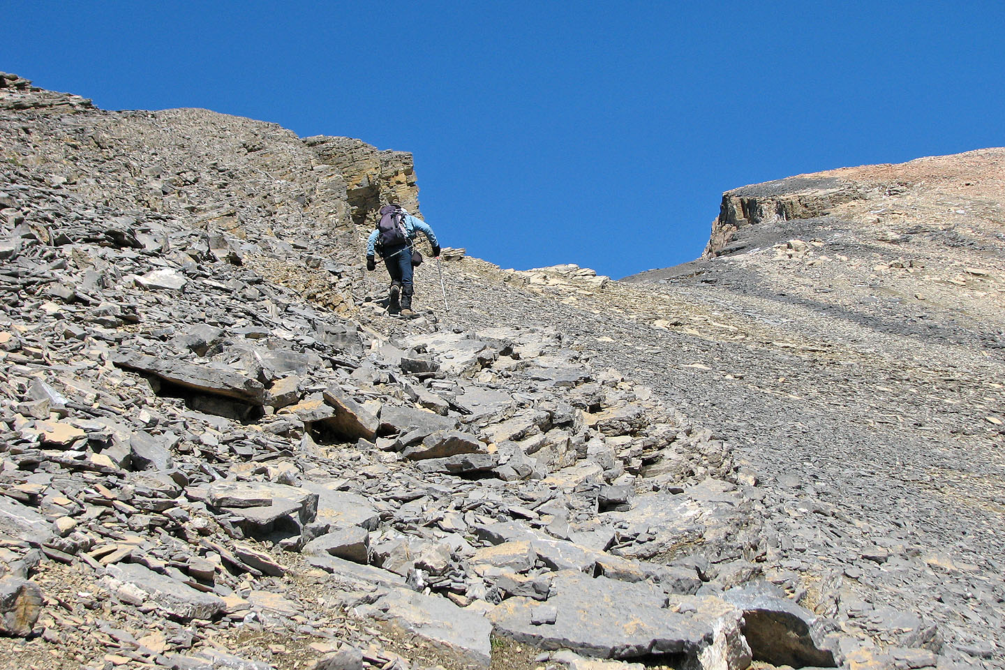
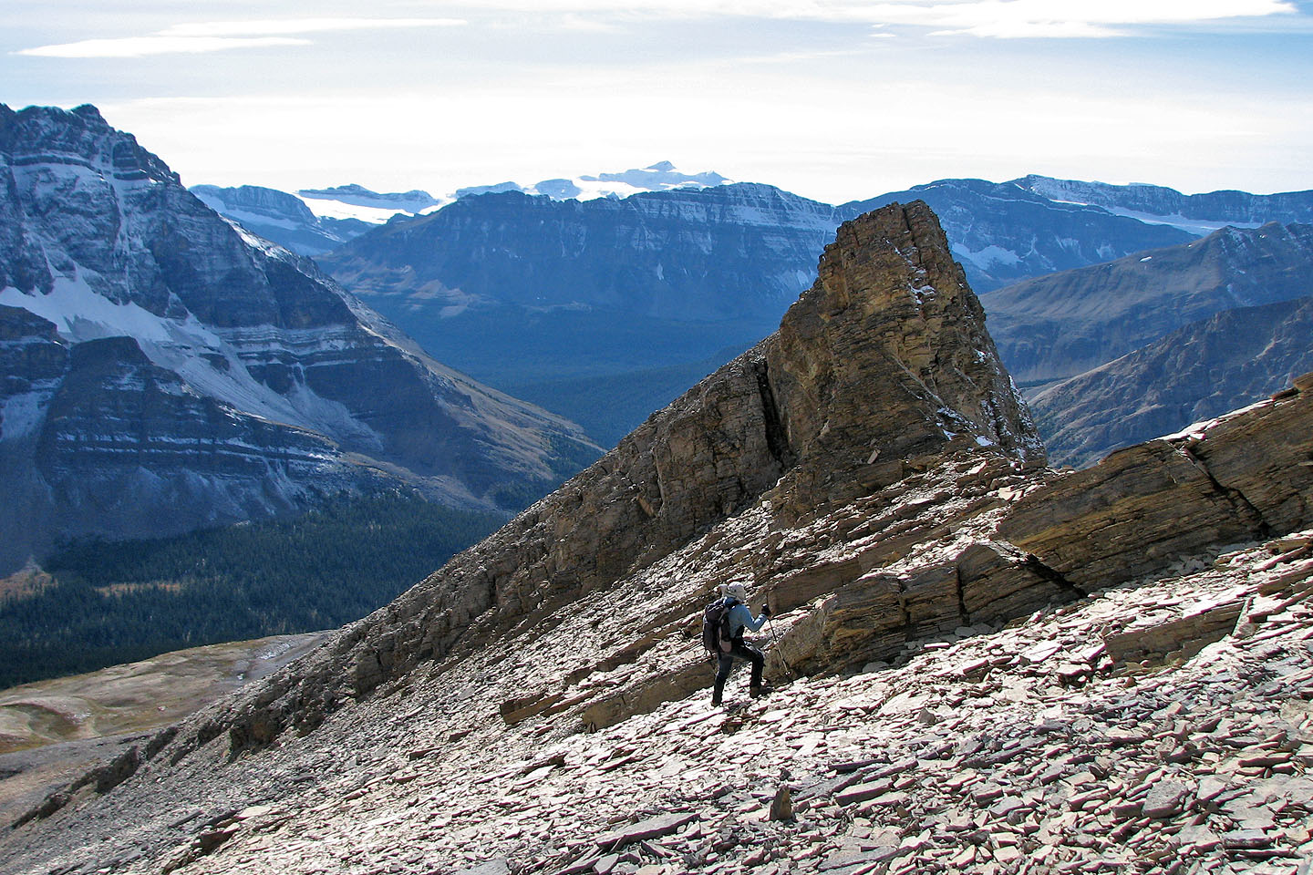
I took a steep course to get to the ridge
Looking back down the slope
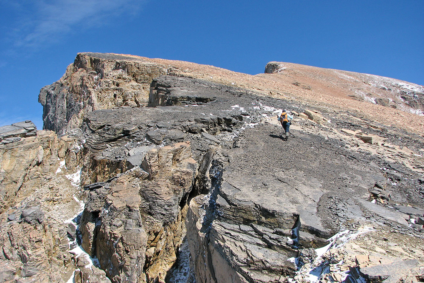
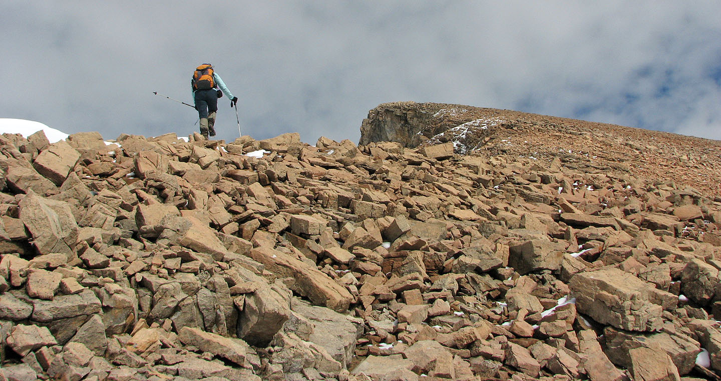
Nearing the ridge crest
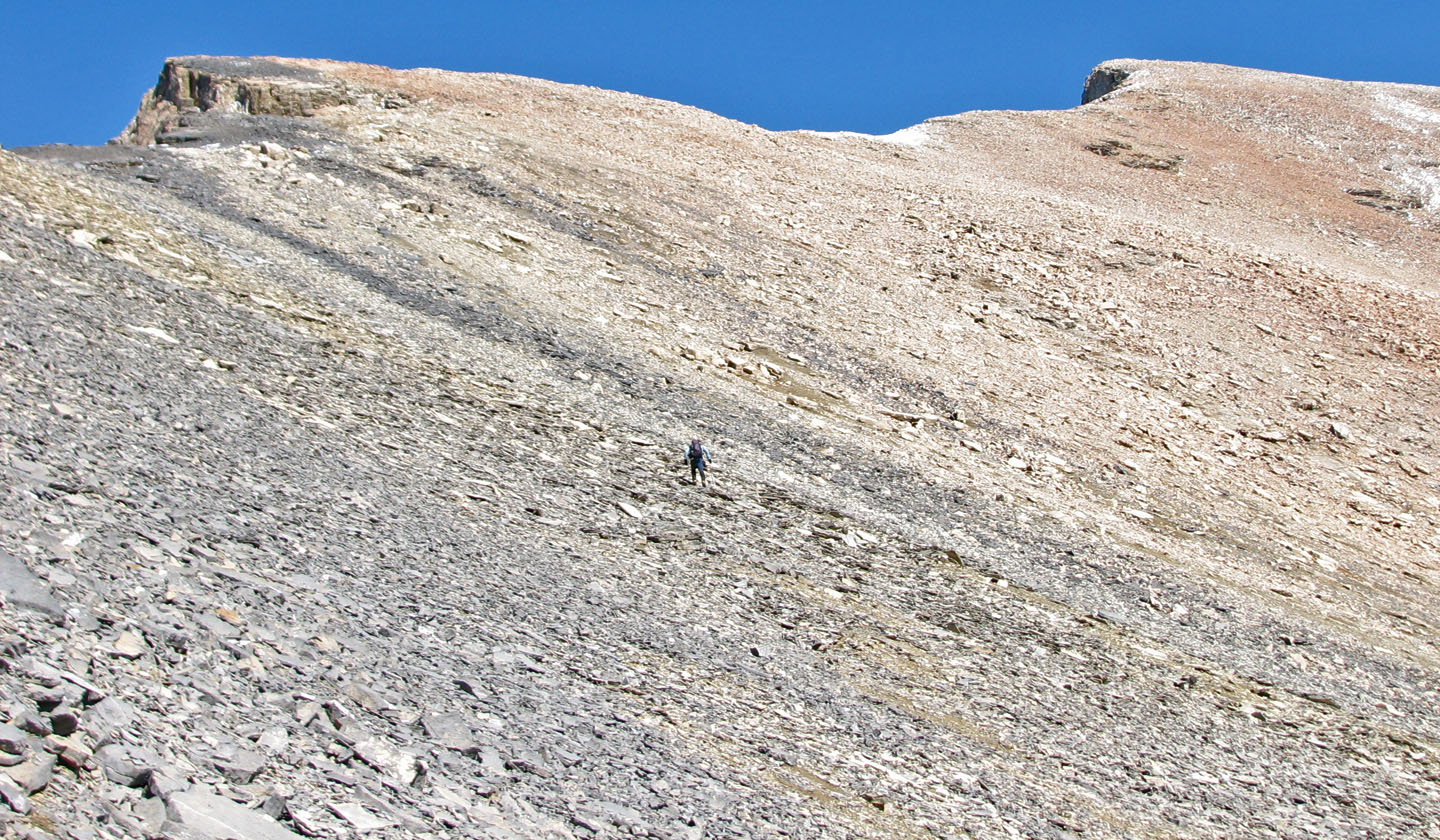
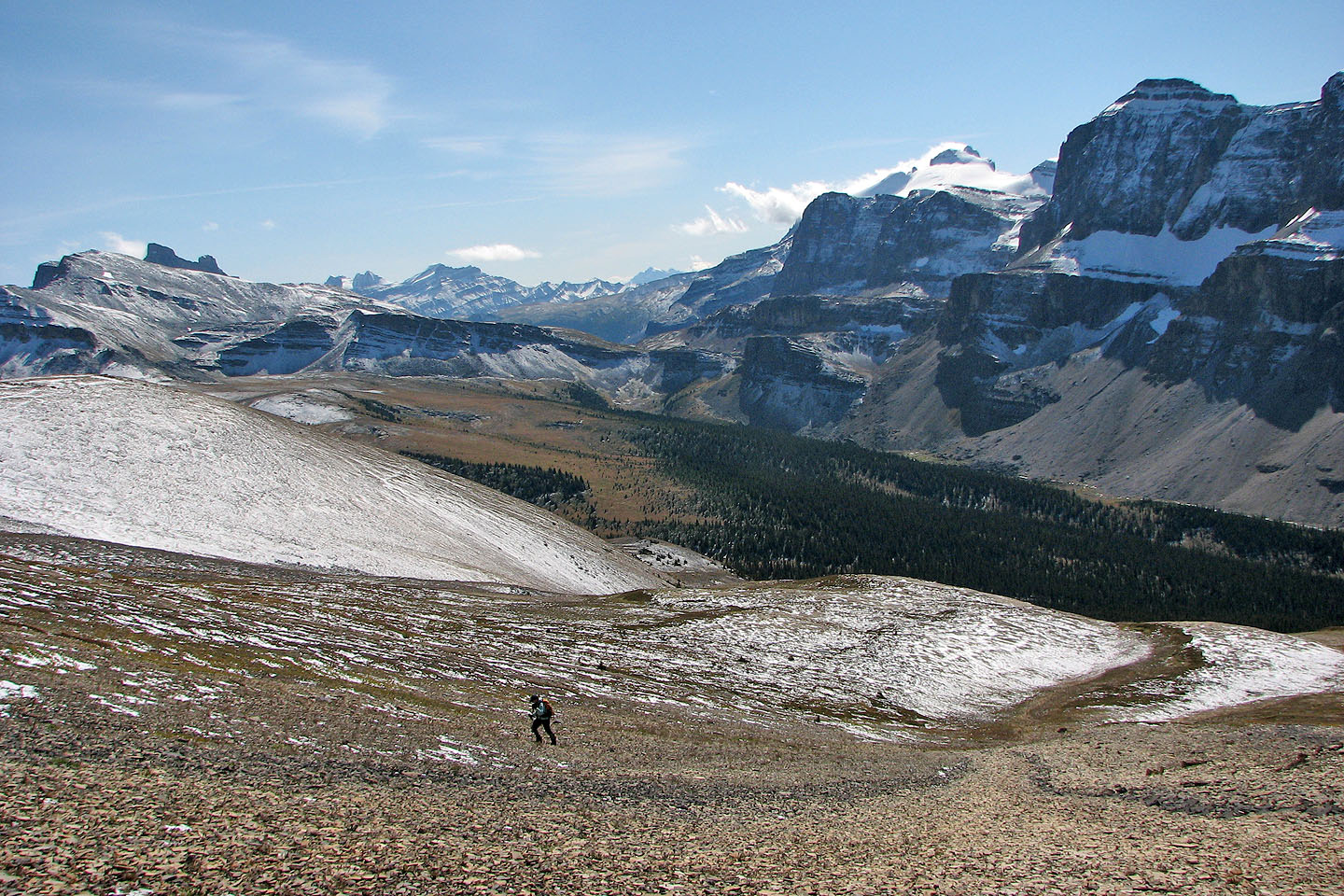
I'm a spec on the broad slopes
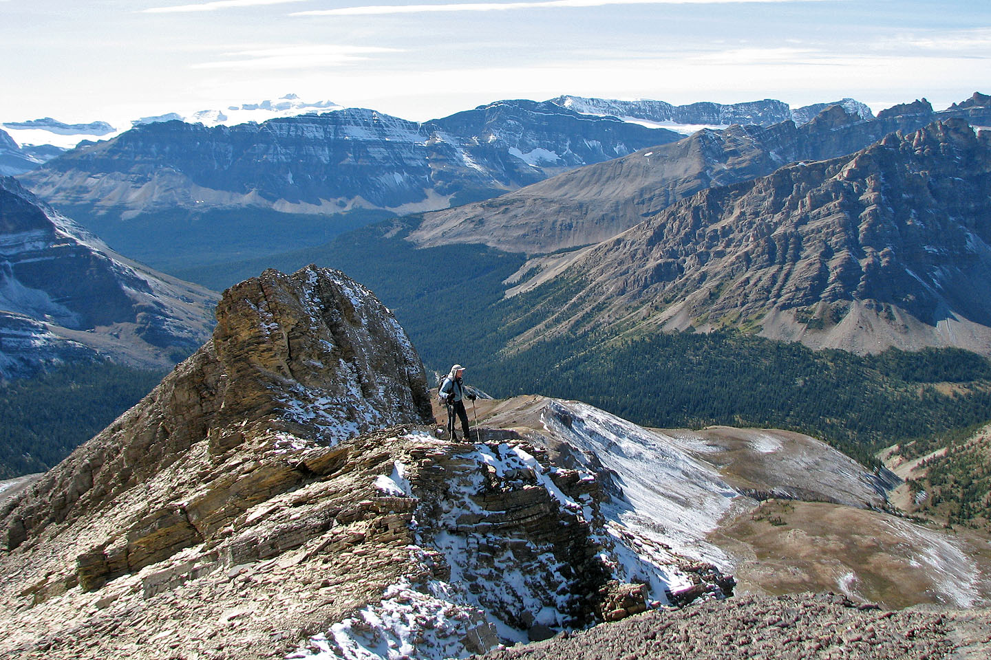
On the ridge
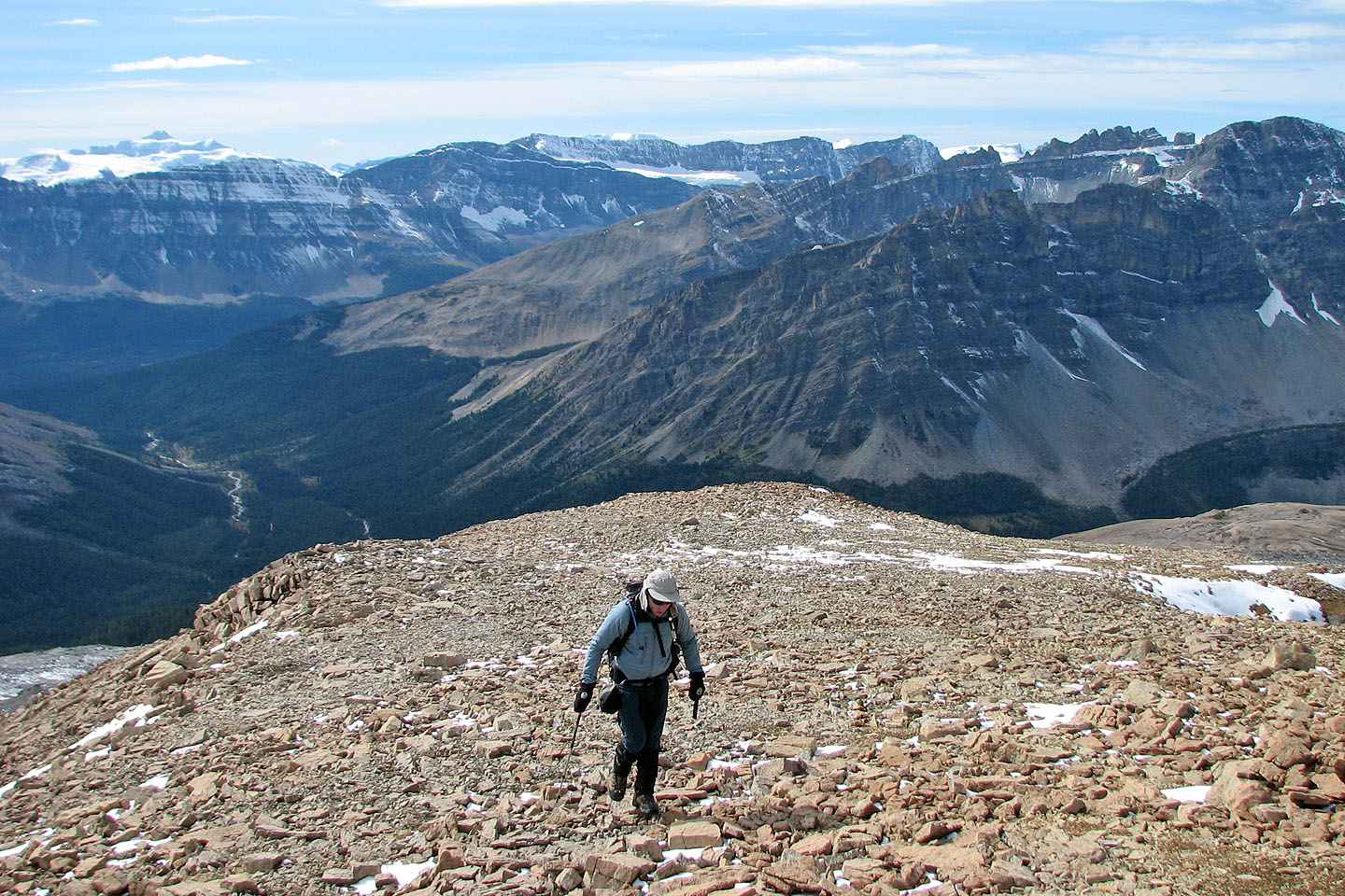
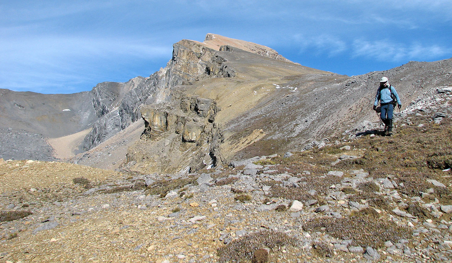
We followed the ridge to the summit
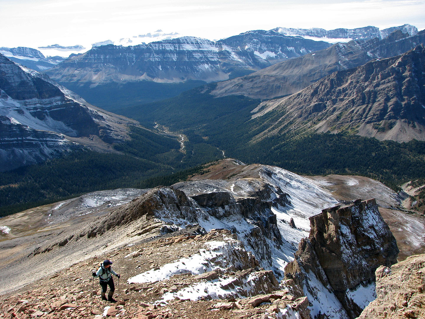
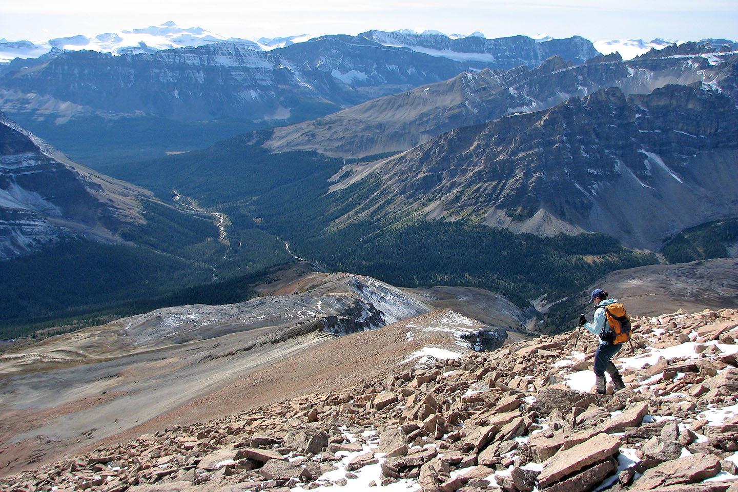
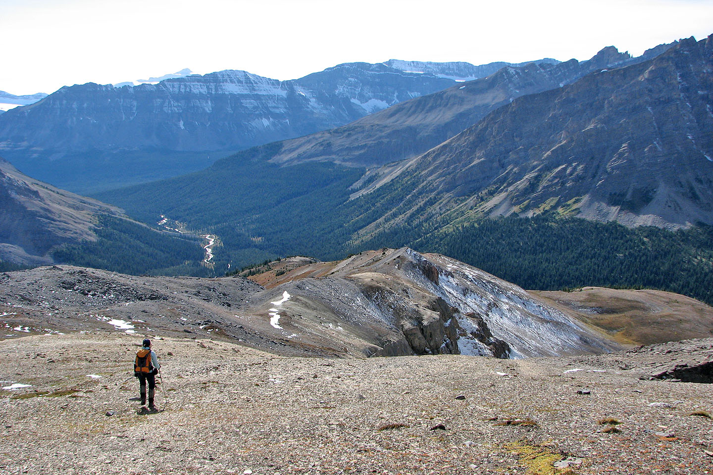
Looking back along the ridge to Mosquito Creek.
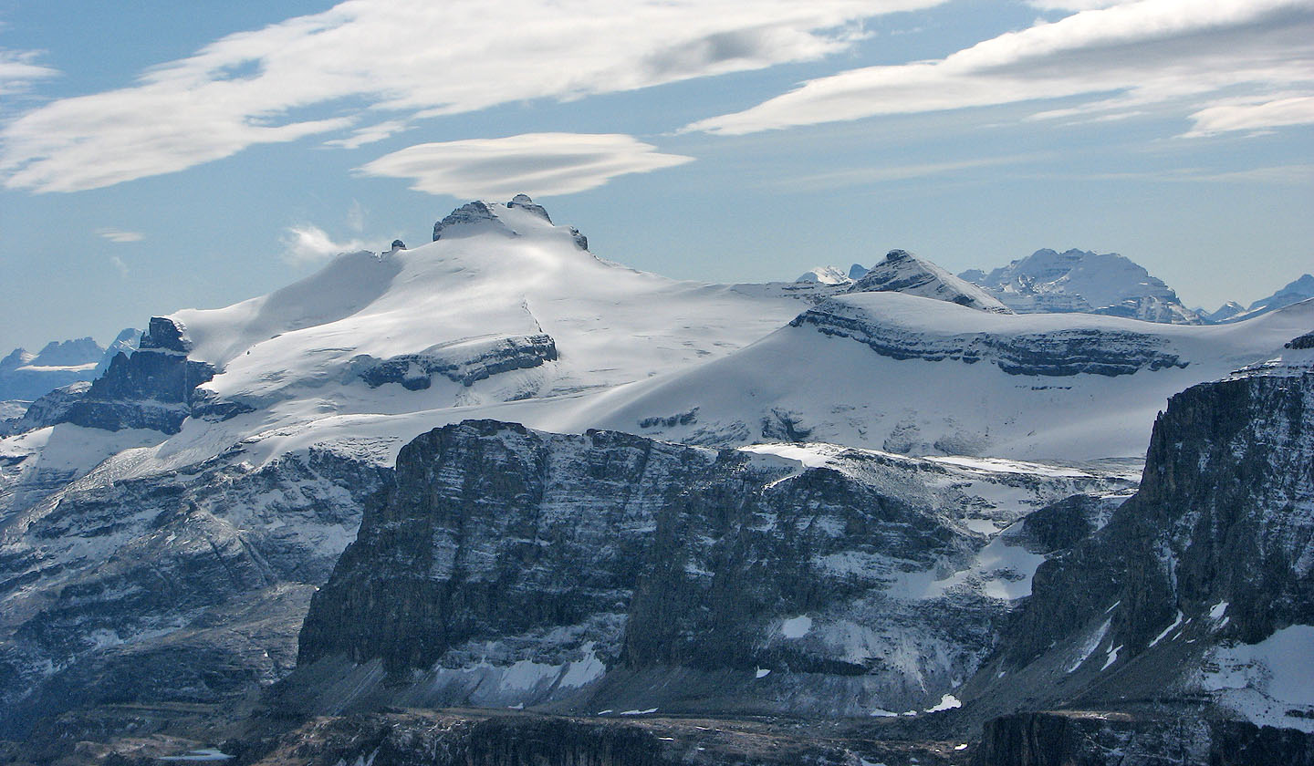
Bow Peak sits in front of Mount Balfour (mouse over).
Walking along a broad section of the ridge
The view to the south includes Molar Mountain (mouse over for a close-up)
Almost on the summit
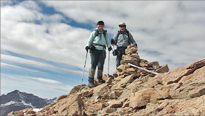
Standing next to the summit cairn
Mount Hector and Little Hector
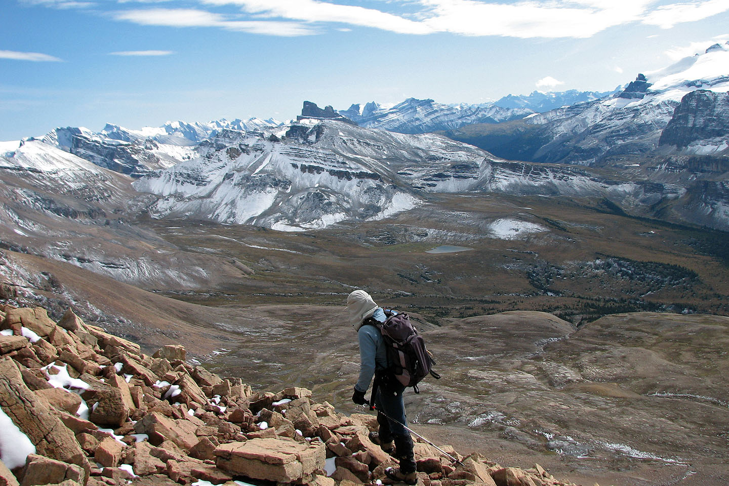
Starting back down from the summit
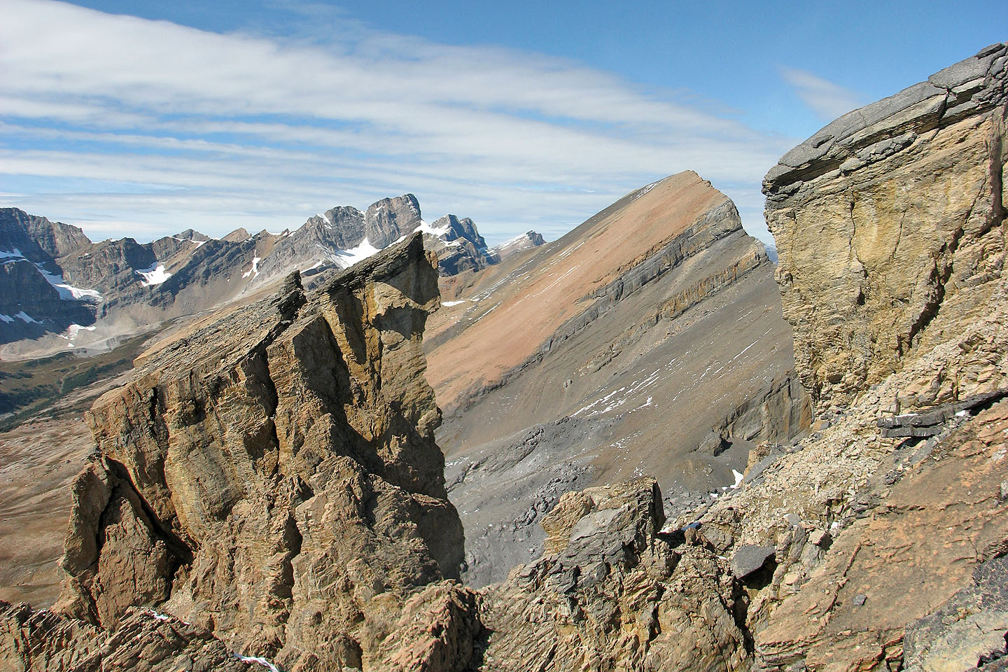
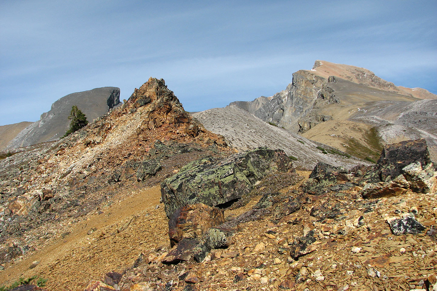
Pinnacles frame Quartzite Peak
Ramp Peak on the left
We headed for the chimney in the rock band
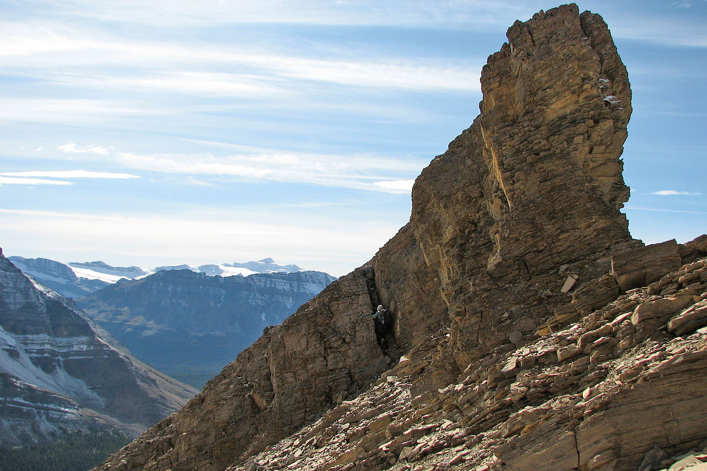
Ascending the chimney (mouse over to zoom in)
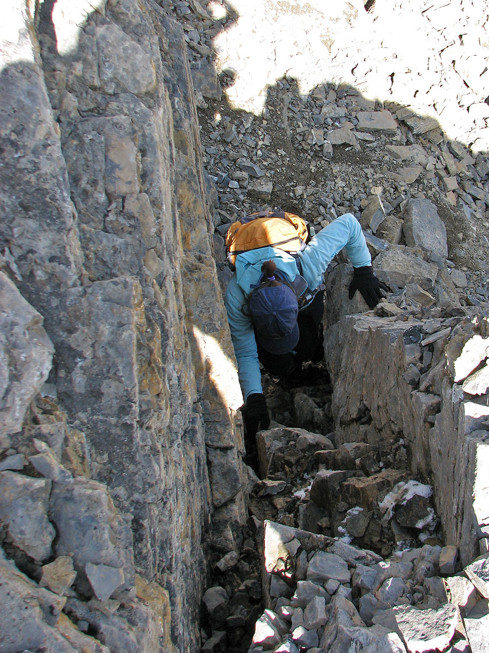
It's an easy climb but a tight fit
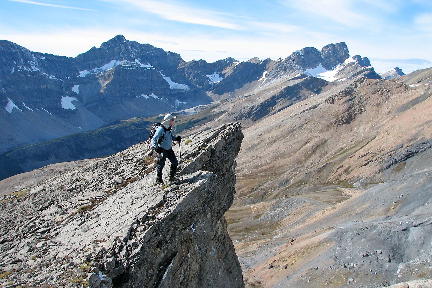
Checking the view from projecting rock
Continuing down the ridge
We hiked easily down the ridge
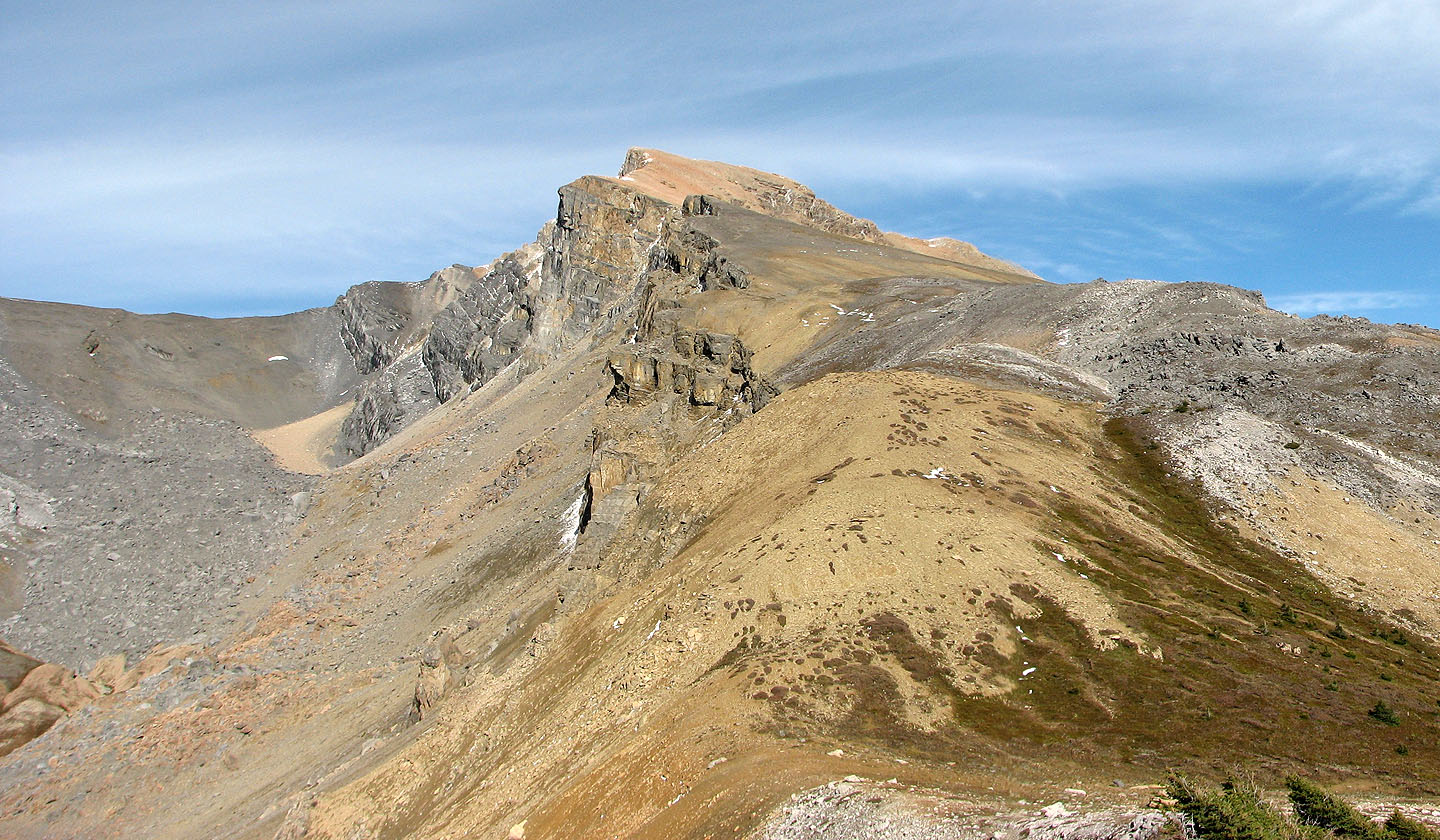
Looking back along the length of the ridge
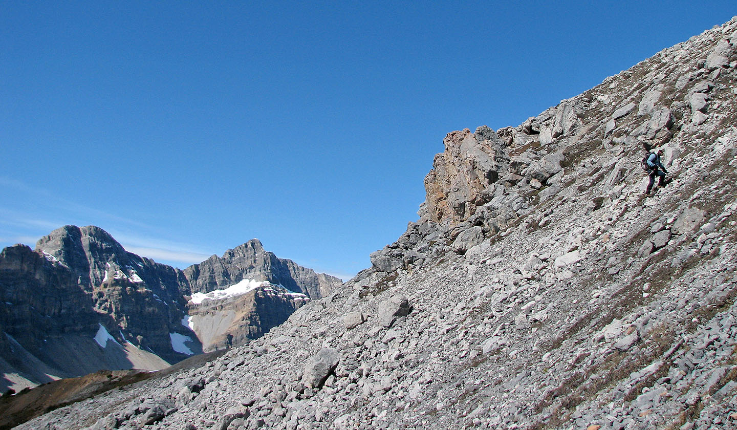
Looking back from near the end of the ridge
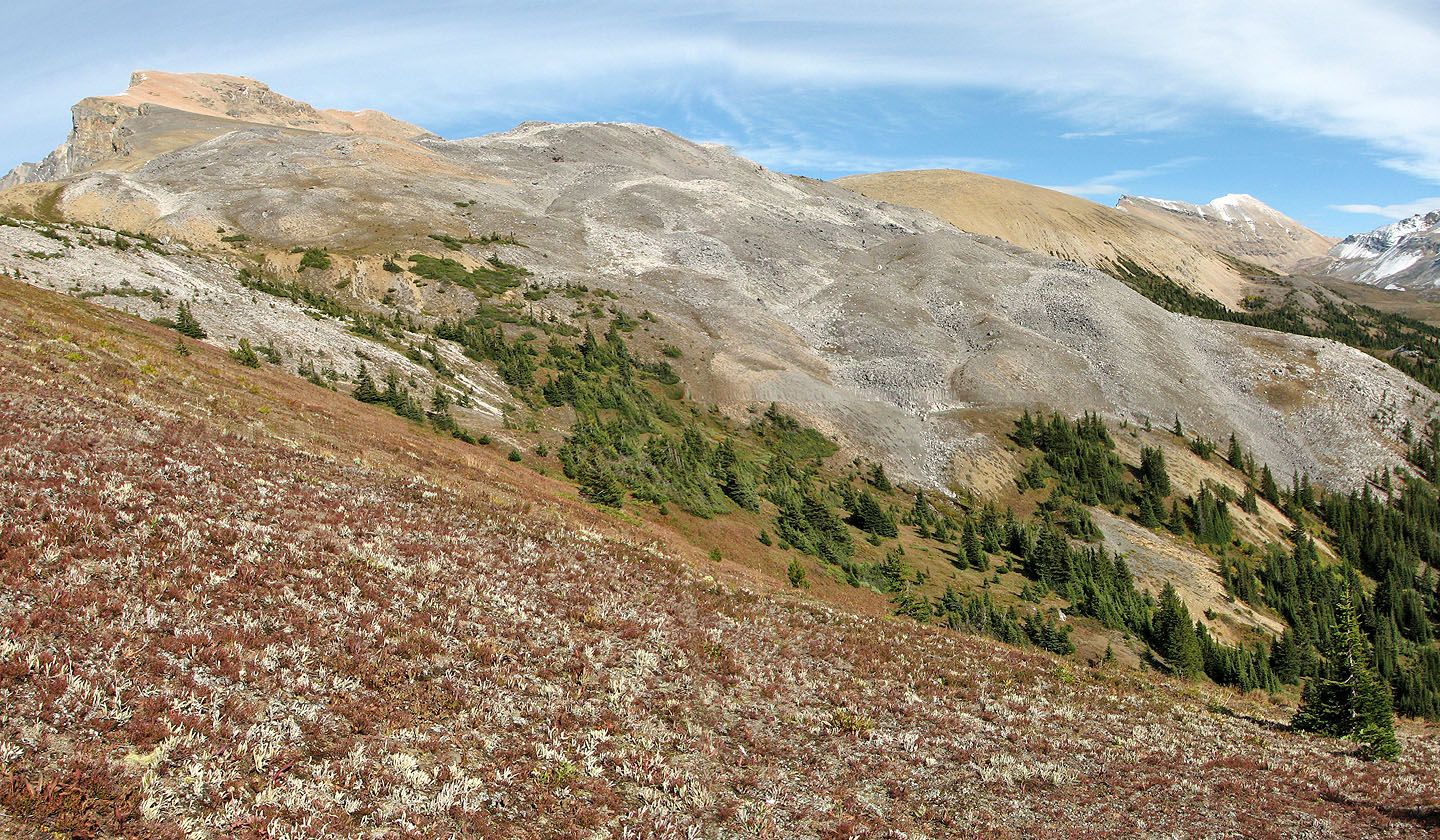
This photo shows the rubbly SW slopes that we ascended to reach the ridge
We'll soon be back in the trees
82 N/9 Hector Lake