bobspirko.ca | Home | Canada Trips | US Trips | Hiking | Snowshoeing | MAP | About
Drywood Mountain
Castle Provincial Park, Alberta
June 23, 2007
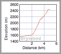
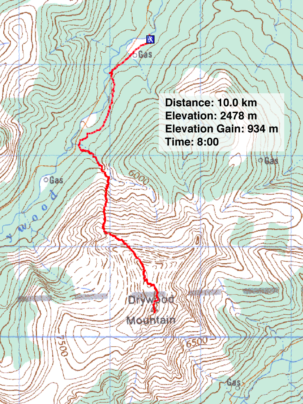
Distance: 10.0 km (6.2 mi)
Cumulative Elevation Gain: 1080 m (3543 ft)
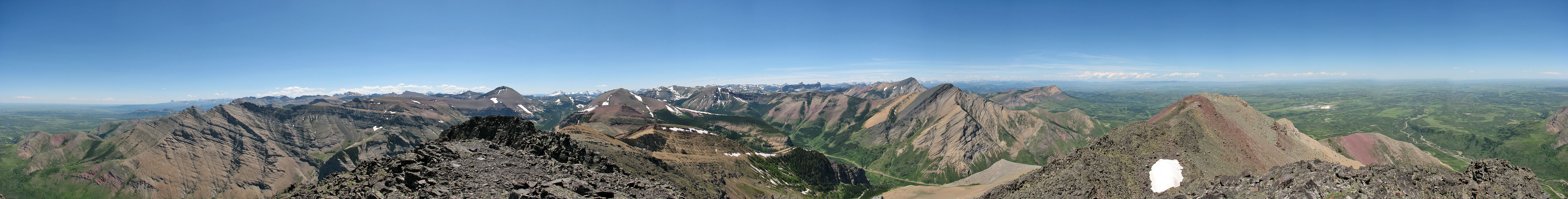
Two weeks ago, a closed seasonal gate prevented Dinah and me from ascending the south slopes of Drywood Mountain. However, on a short exploratory trip, we got the idea of attempting the northwest ridge. Comprising three connected ridges, it looked promising except for the final summit push. We could be stopped just before the summit, but it was worth trying.
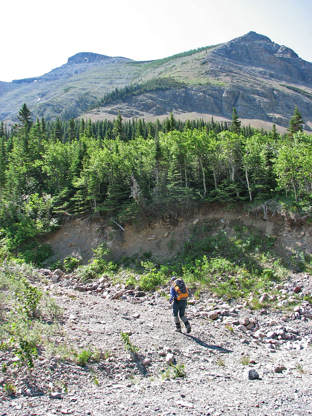
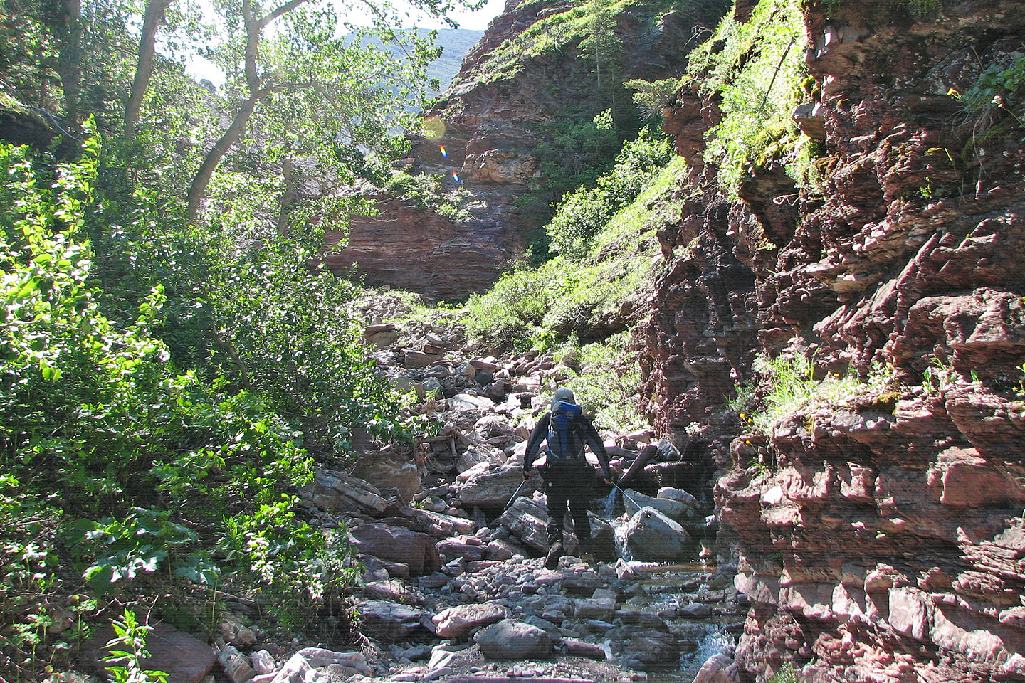
We parked at the Drywood Creek gate and walked up the road 1.8 km to the drainage at 127621. Bushwhacking to the base of the first ridge was out of the question because of the dense vegetation, so we hiked up the creek and hoped we wouldn't get stuck in a canyon.
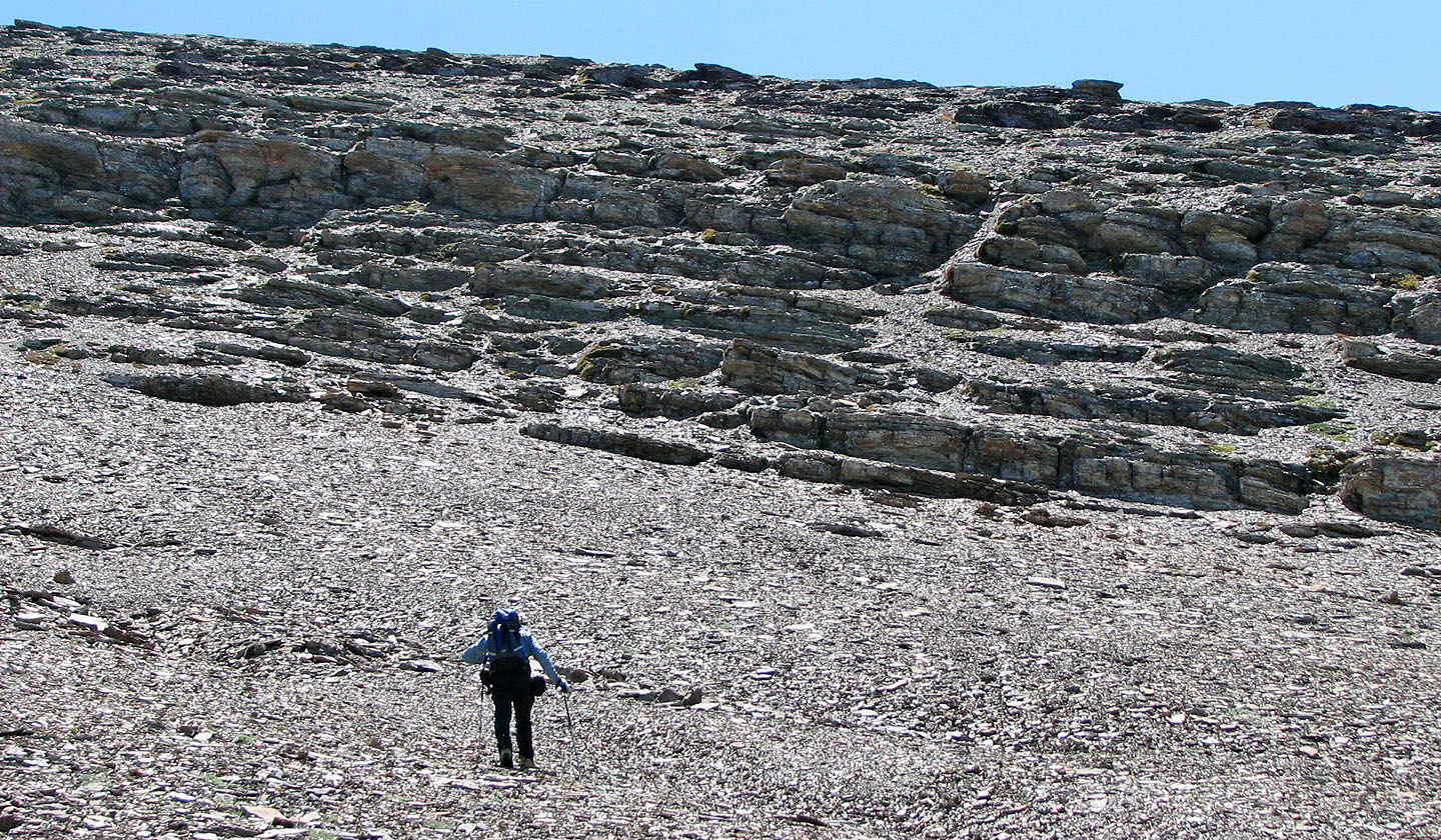
The banks of the creek were densely vegetated until we reached the base of the ridge. After emerging from under the tree canopy, we started ascending a steep slope. After some bushwhacking, we emerged into the sunshine. Sticking to the ridge, we continued climbing only to encounter a thicket. The bushwhacking here was miserable but brief. Eventually we broke free and the rest of the way up to the second ridge was uneventful. Although steep, the ground was mostly solid with little loose scree on the entire trip.
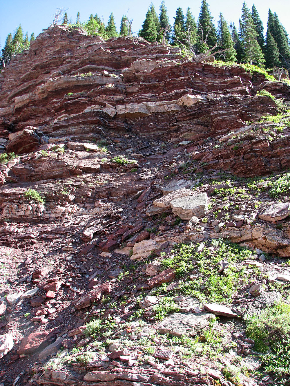
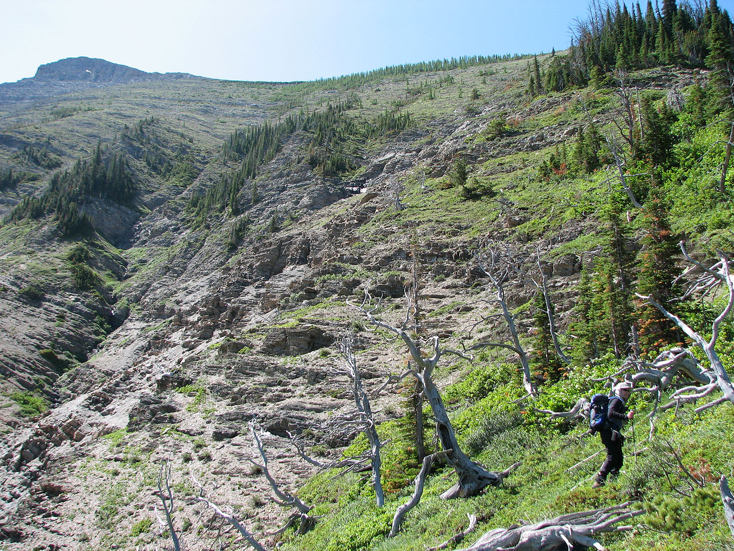
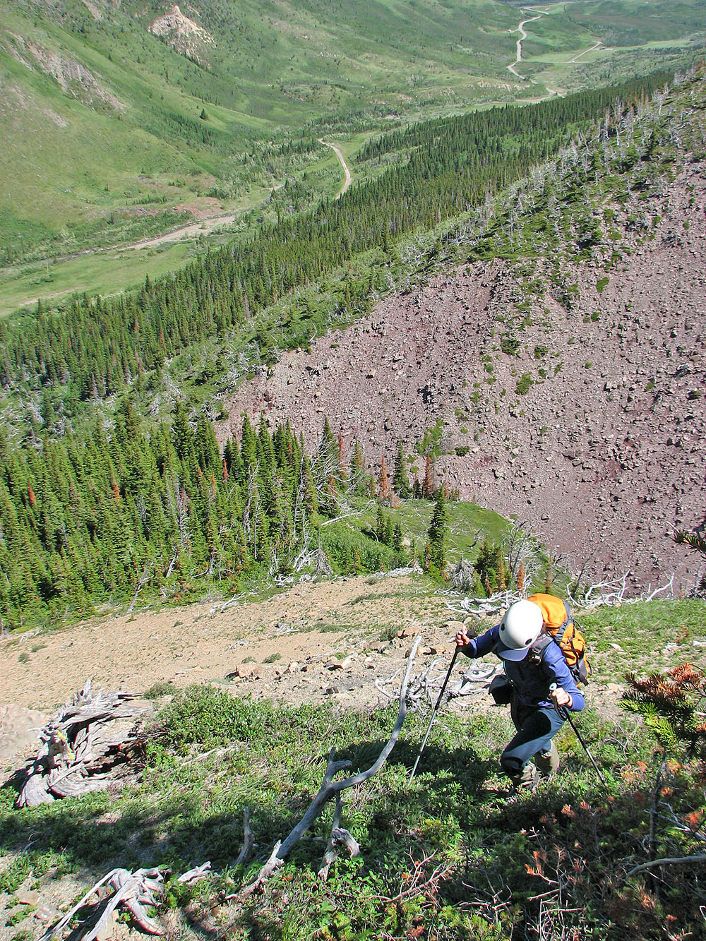
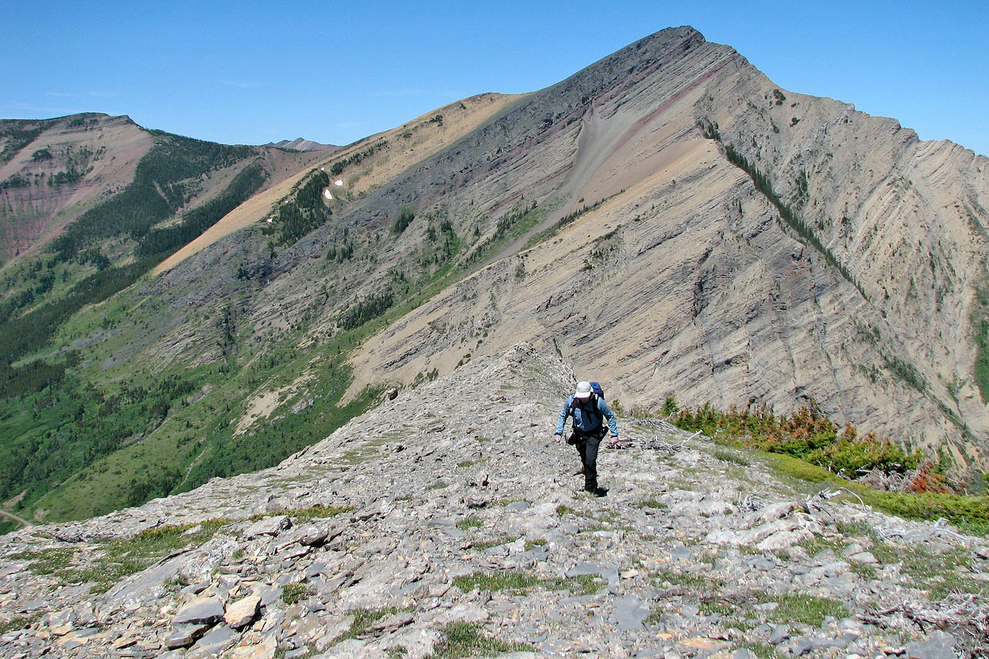
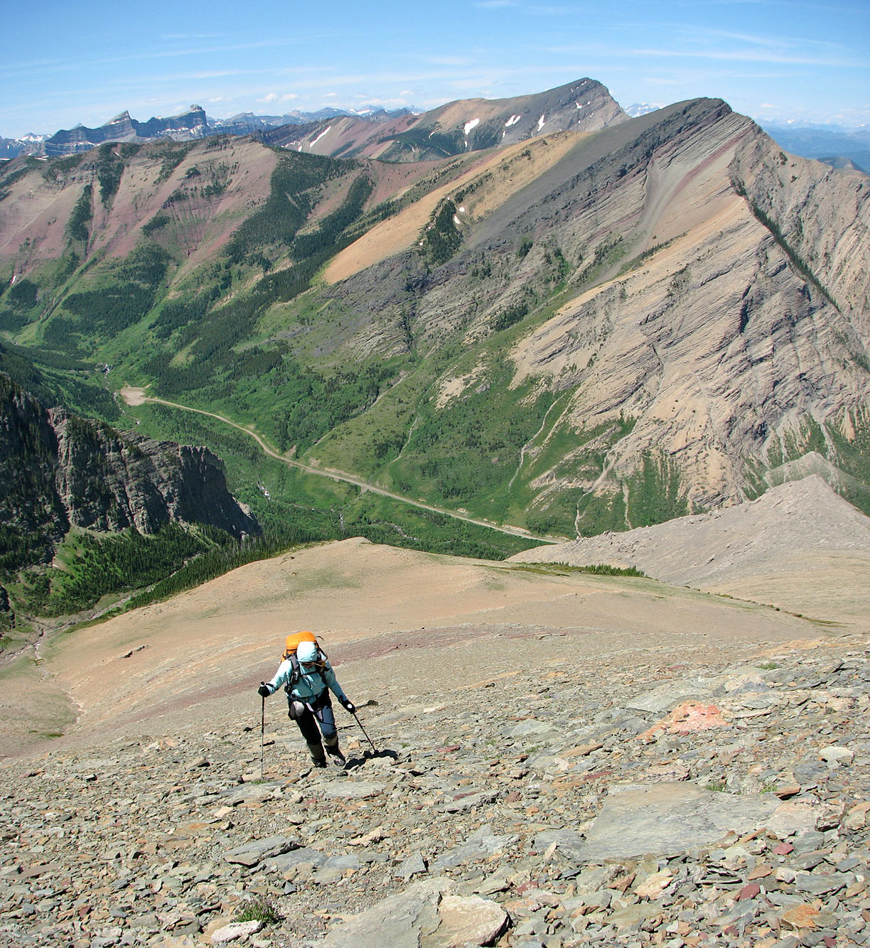
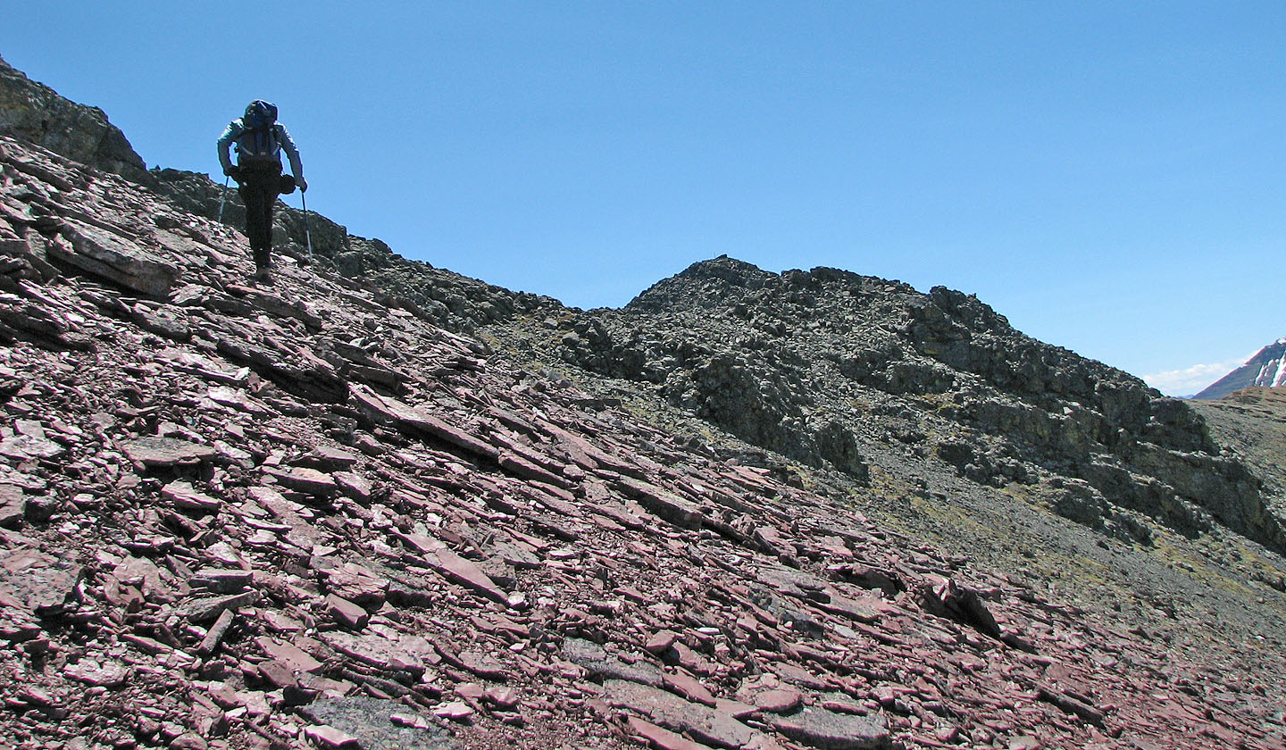
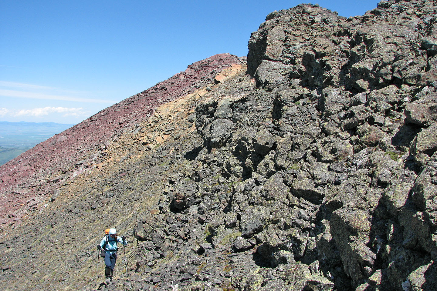
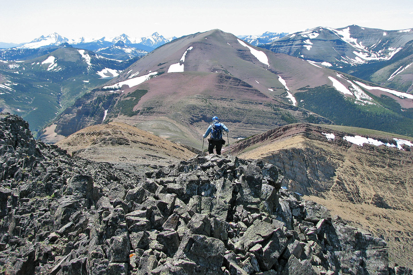
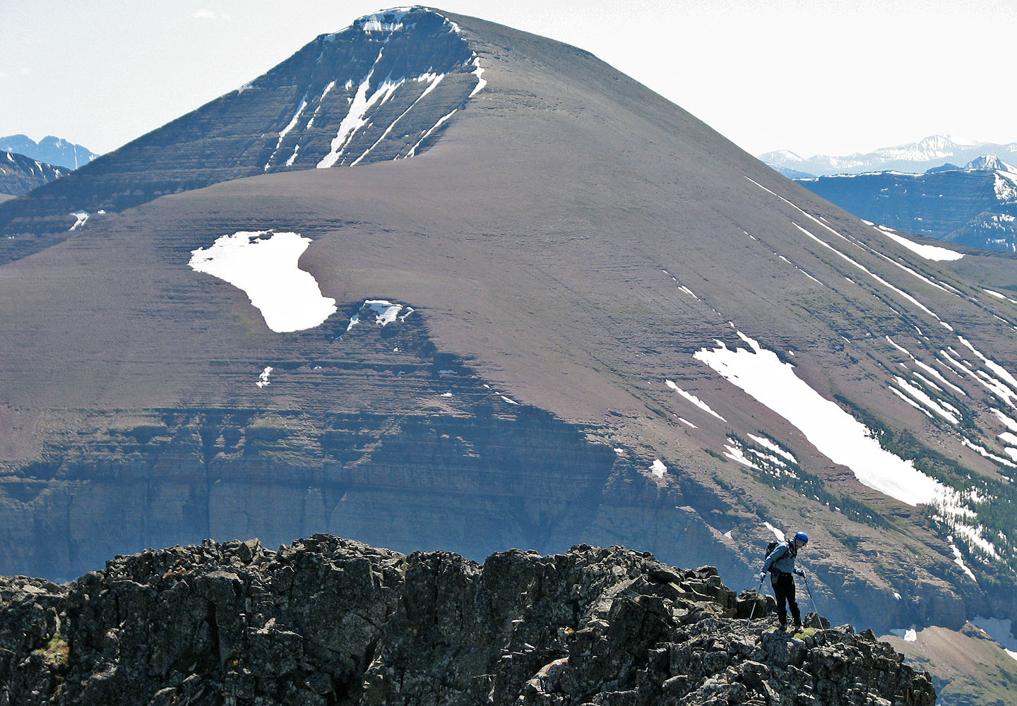
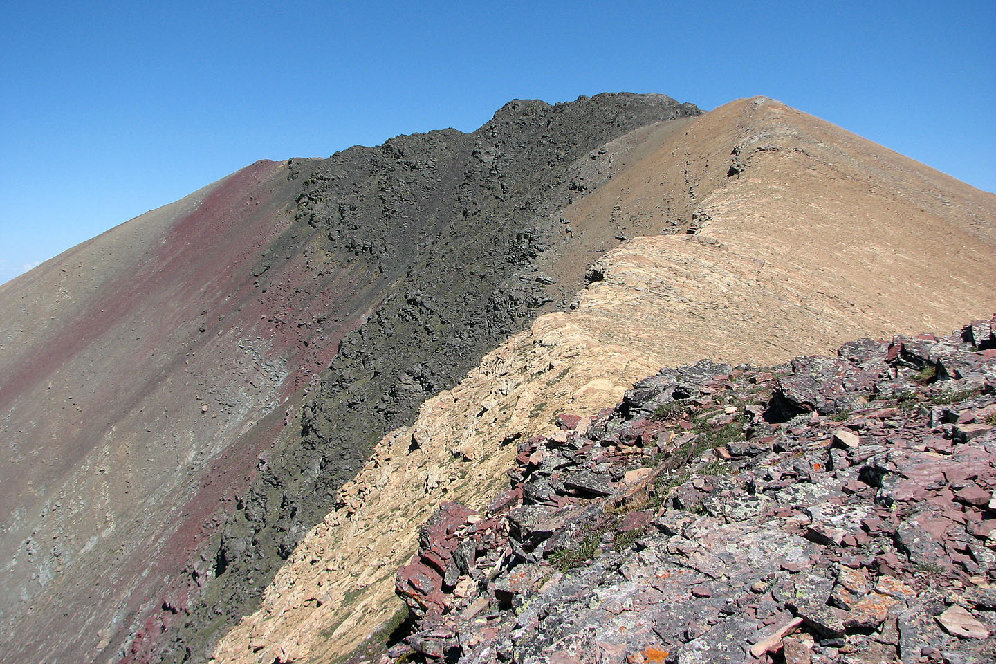
After reaching the second ridge, we headed for the third ridge. On our right was an impressive scree bowl. Above us, a scree slope led to the third ridge. We noticed some undulating black rock on the ridge crest, and only later realized that this was where the summit was. In retrospect, it might be feasible or even desirable to angle directly to the black rock and scramble up to the summit, but we made our way to the third ridge. We enjoyed this ridge because of the beautiful colours and interesting rock formations.
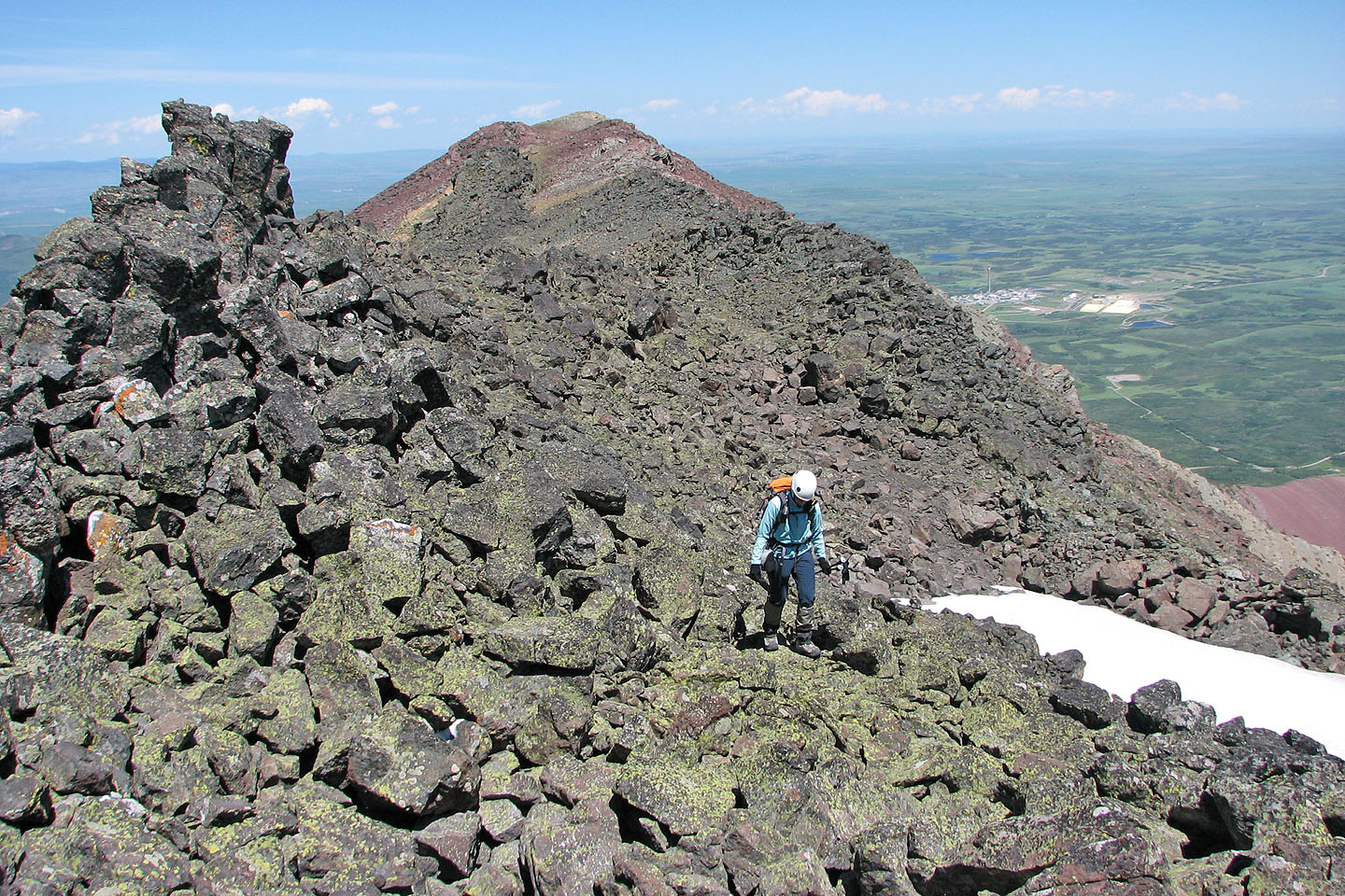
From the ridge, we spotted Drywood's summit, a black prominence marked with a pole. Reaching the summit was straightforward, only a moderate bit of scrambling.
On planning this trip, I had considered descending via the basin south of the col between the east and west peaks of the mountain at 125595. I had my doubts, but I thought I should check it out. Leaving Dinah on the summit, I hiked 250 m down to the col to view the basin. As I expected, the basin appeared densely forested, and if it were anything like I had experienced elsewhere on Drywood Mountain, I wouldn't want to do 100 m of bushwhacking let alone a kilometre or two. An hour after setting out, I returned to the summit.
We descended the same way except that we hiked the length of the third ridge before reaching the second ridge.
Although disappointed that the basin didn't appear to be a feasible descent route, I was glad to have summited. Perhaps I'll check that basin one day, but I'll tackle it from the valley up, not from the col down!
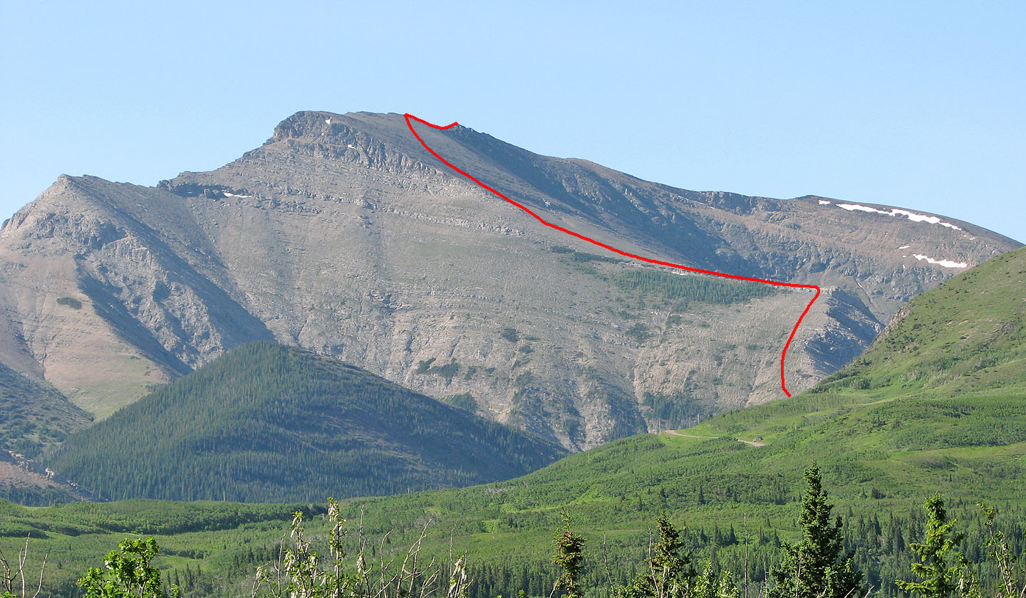
Approximate route
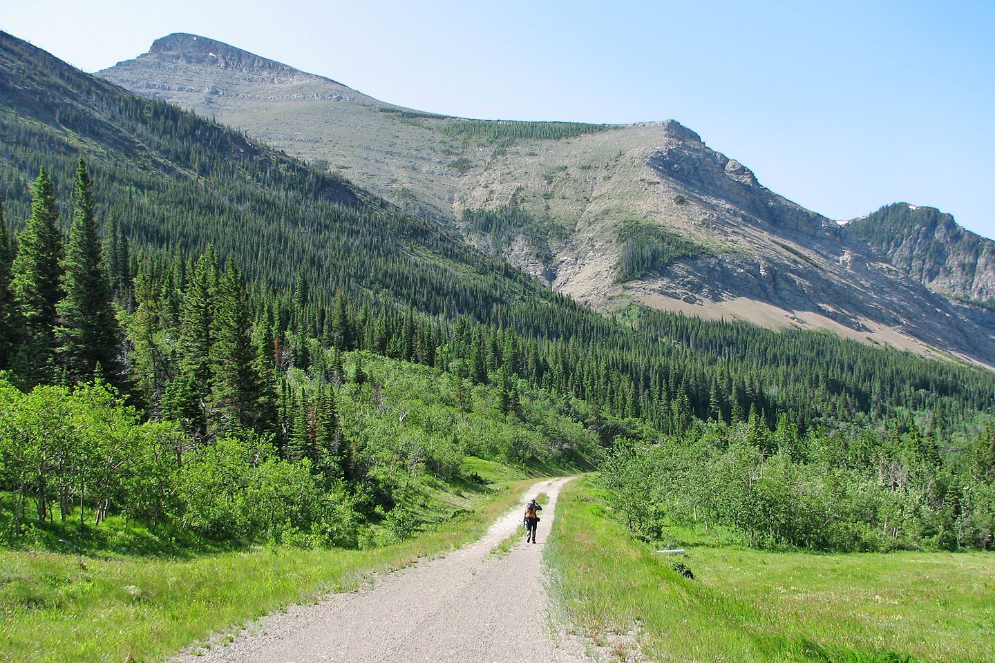
Hiking up the road, false summit on the left
Starting up the drainage
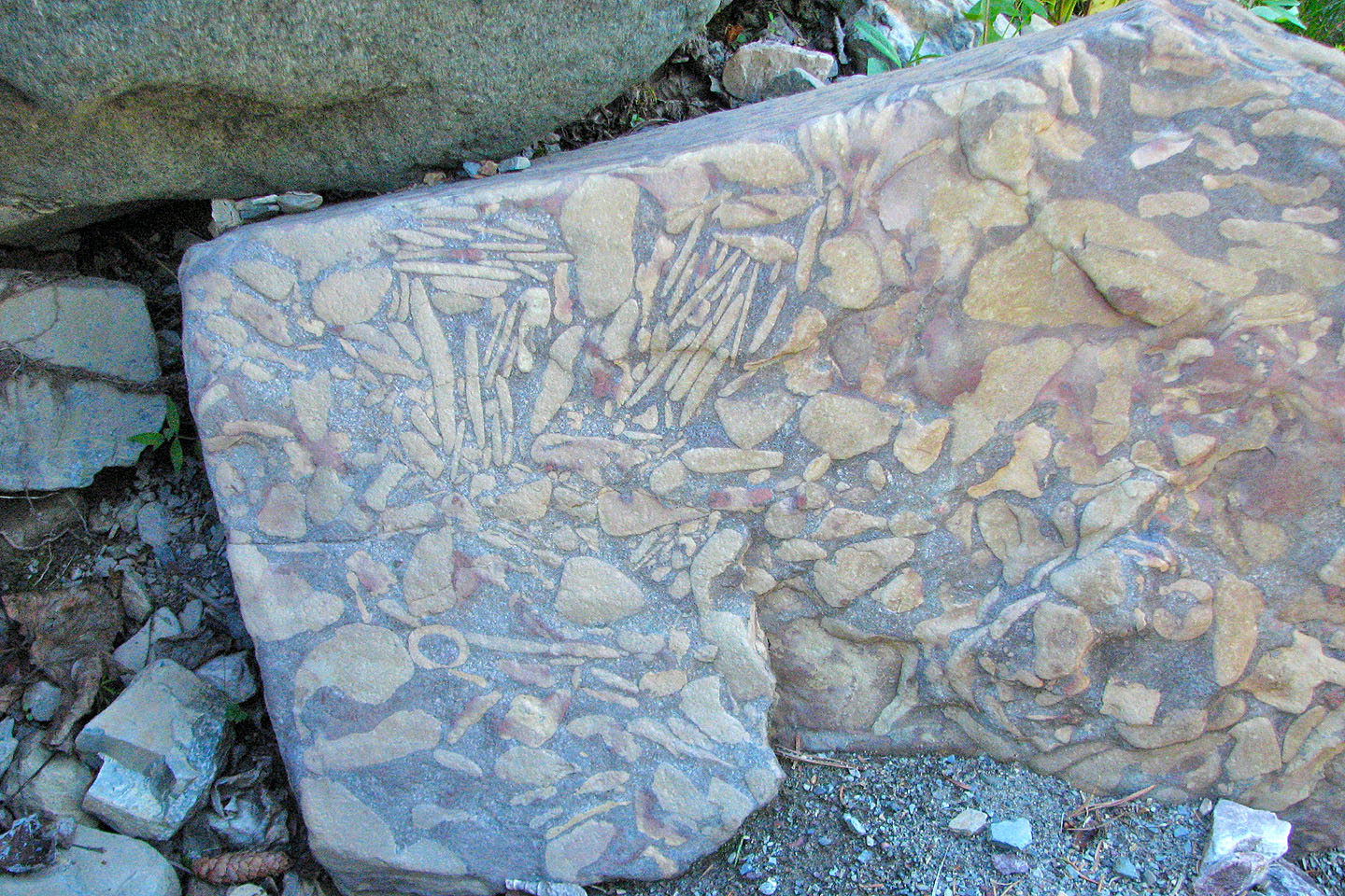
Unusual rock pattern in the creek
The ascent starts around the corner
Looking up our ascent slope
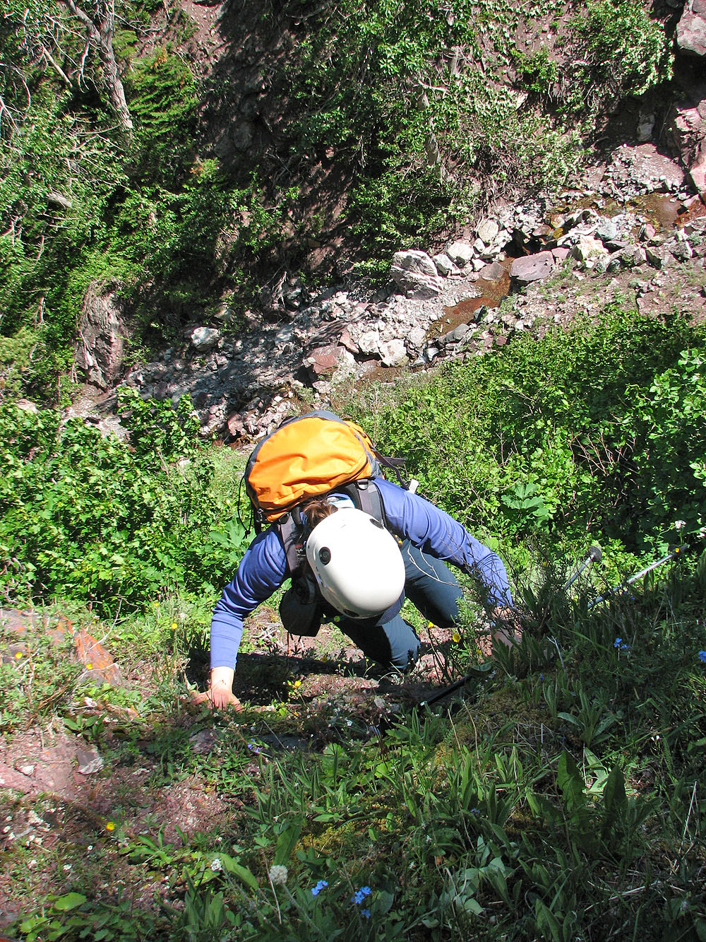
Dinah climbs the steep slope
On the open slopes, false summit on the left
Well above the creek
Pincher Ridge sets the background as we hiked up the
first ridge
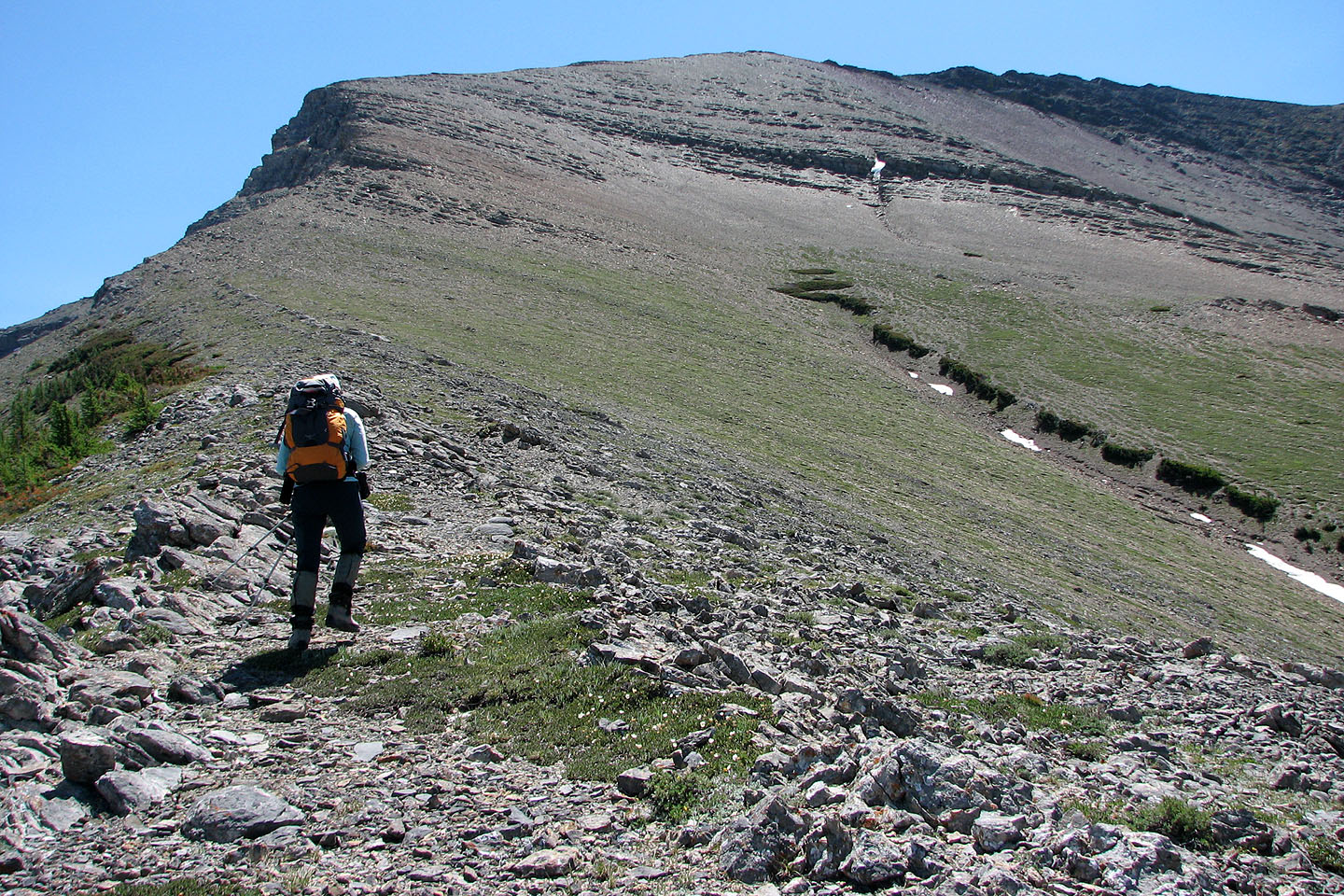
On the second ridge
Heading to the third ridge, the summit is one of the black bumps on the right
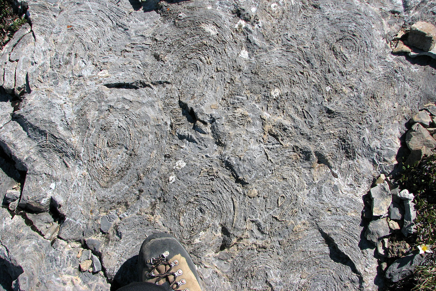
Stromatolites appeared in the rock everywhere on the second ridge
Looking down second ridge
Making our way to a minor rock band
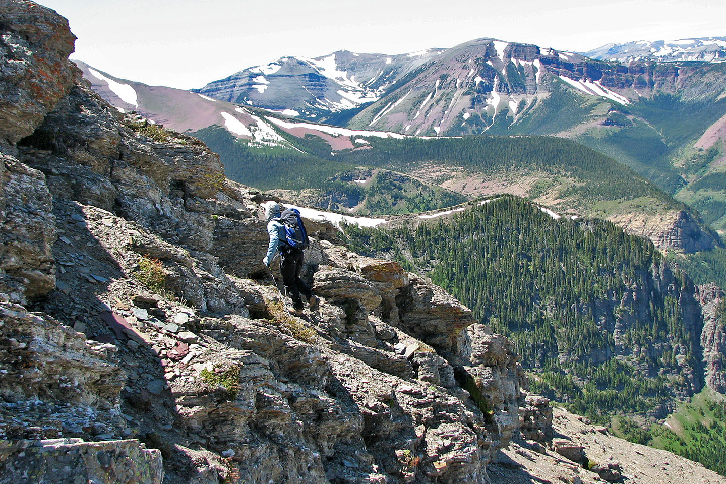
Climbing up the rock band
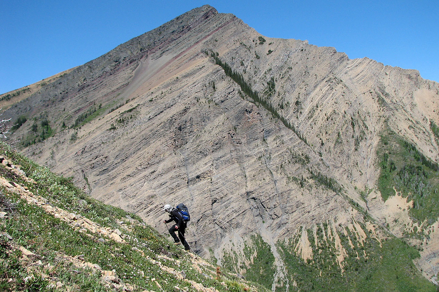
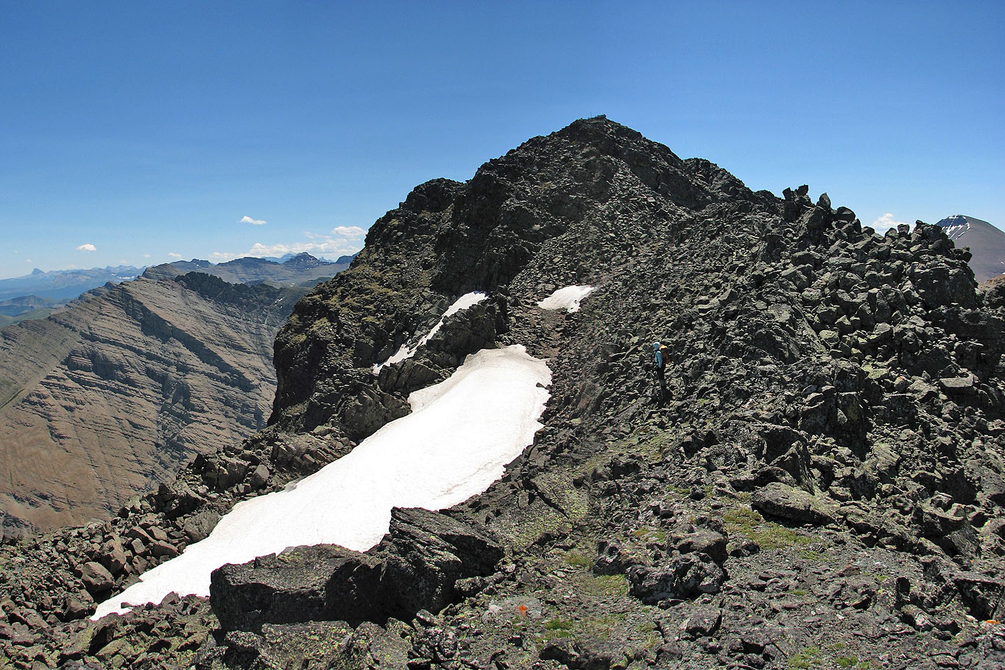
Almost at the third ridge. Victoria Peak in the background on
the right.
The summit comes into view
Looking back as we make our way to the summit
Interesting rock piles along the ridge
Another view back along the ridge
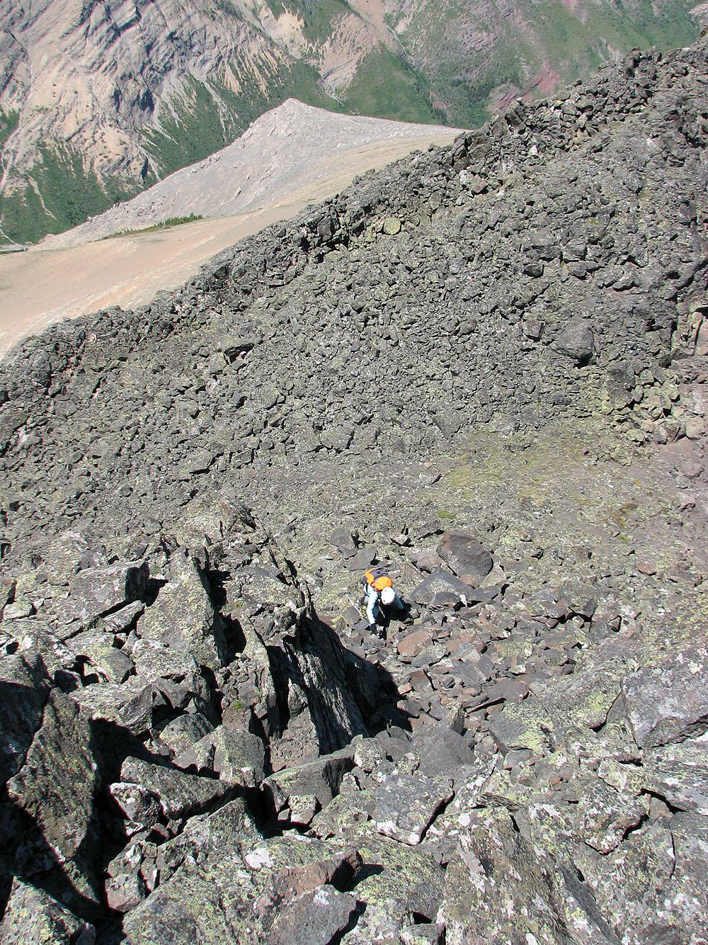
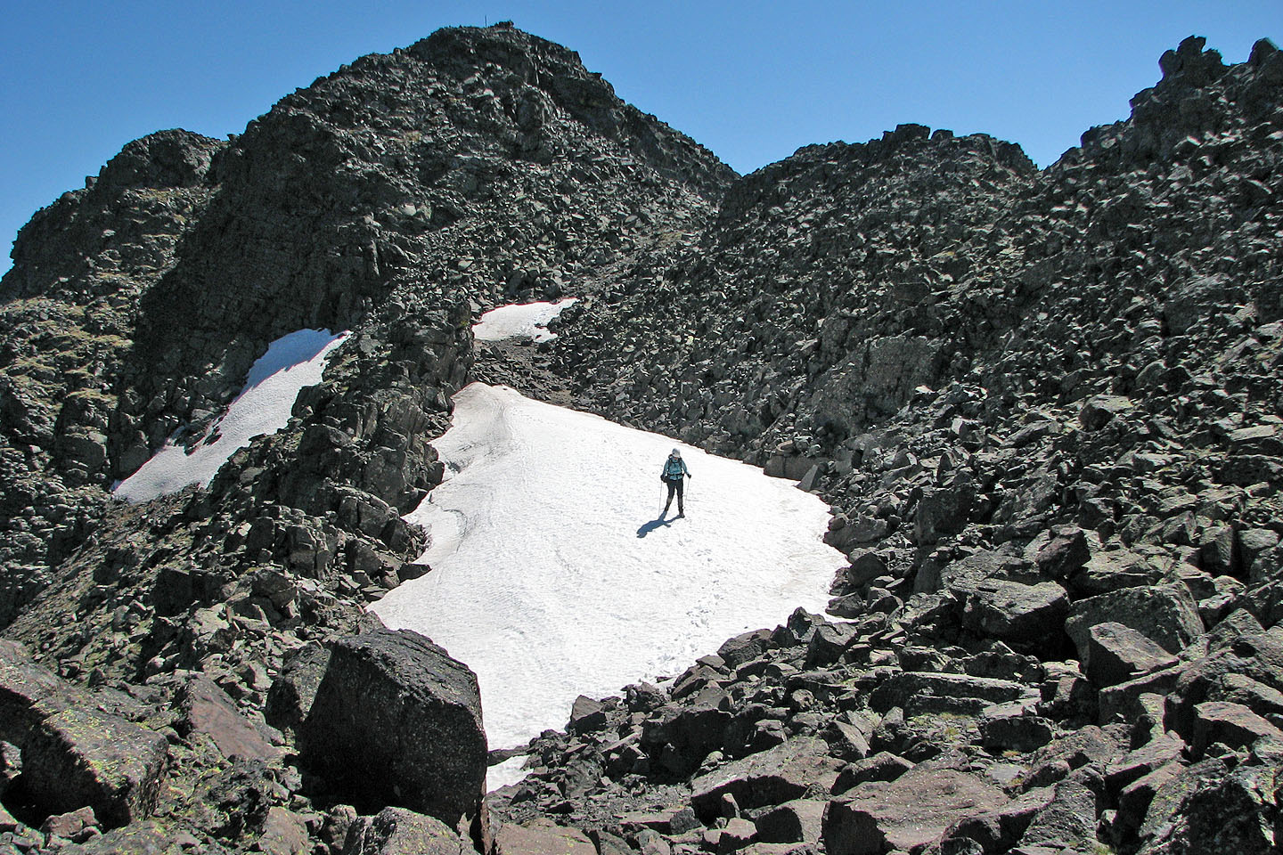
Dinah appears below the summit
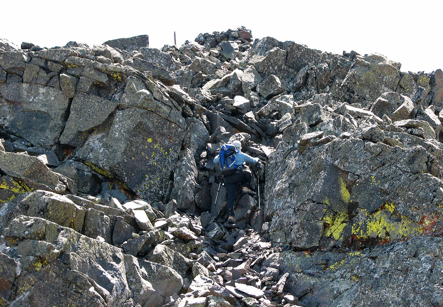
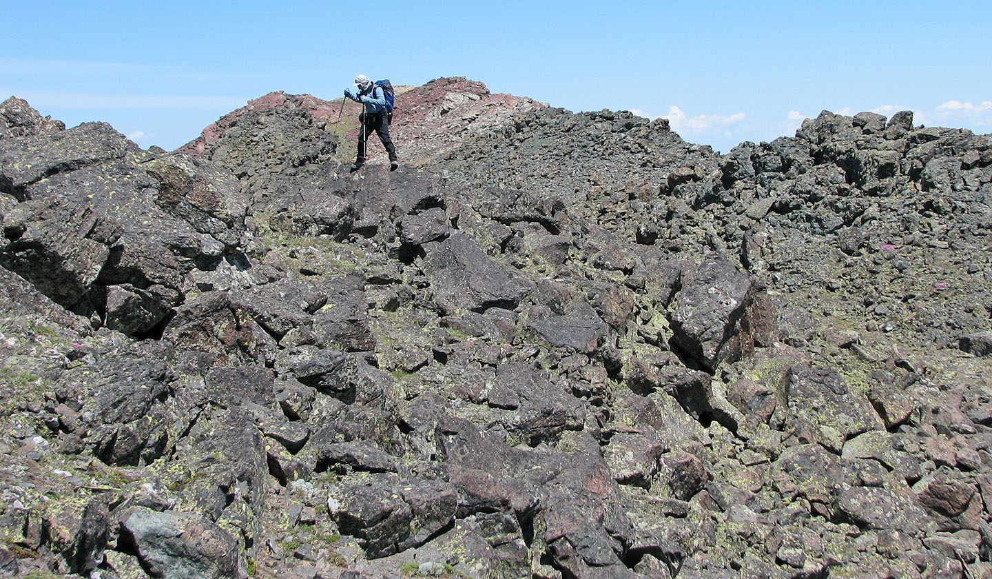
Scrambling up to the summit
Dinah starts up
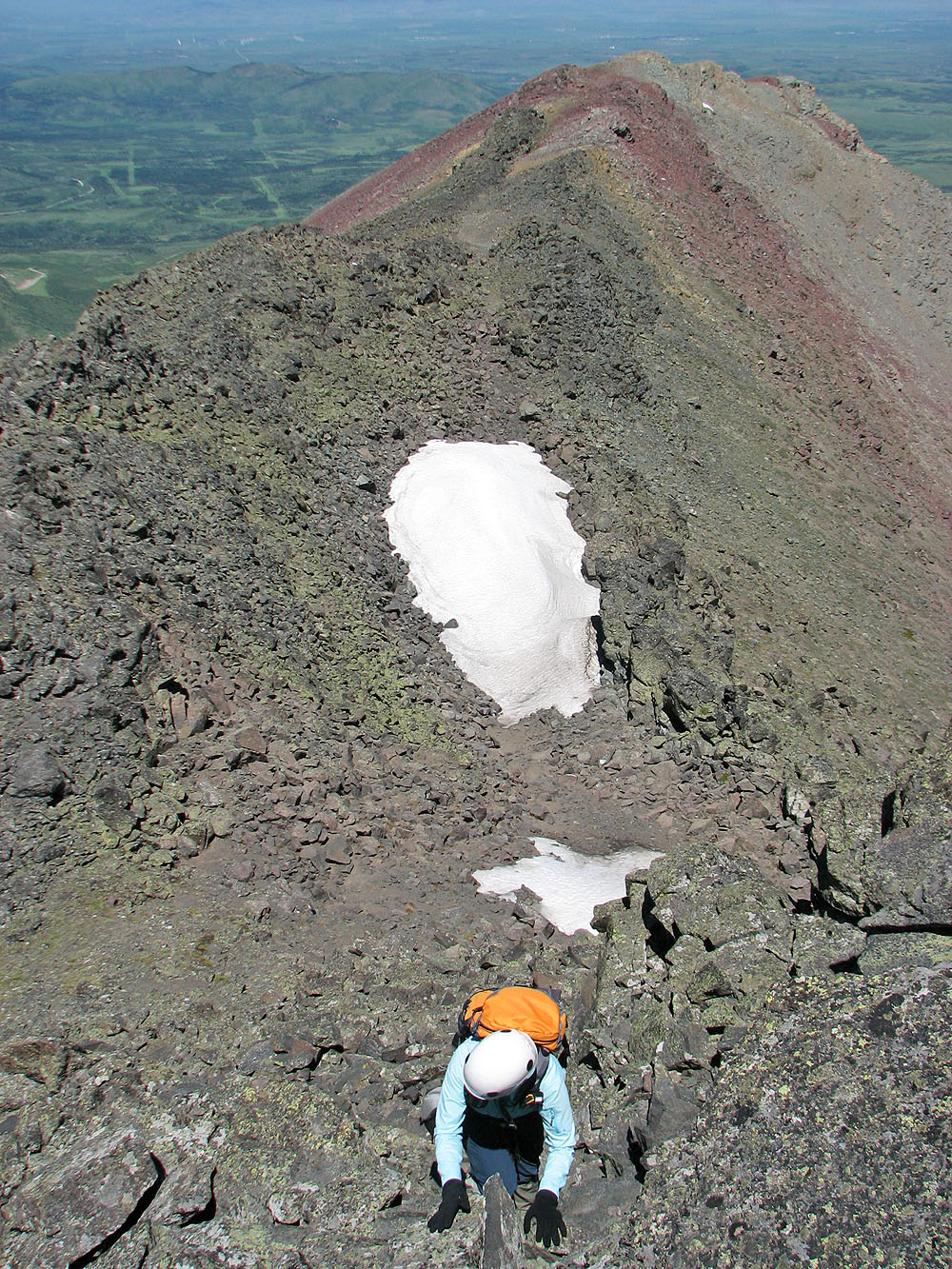
Almost at the top
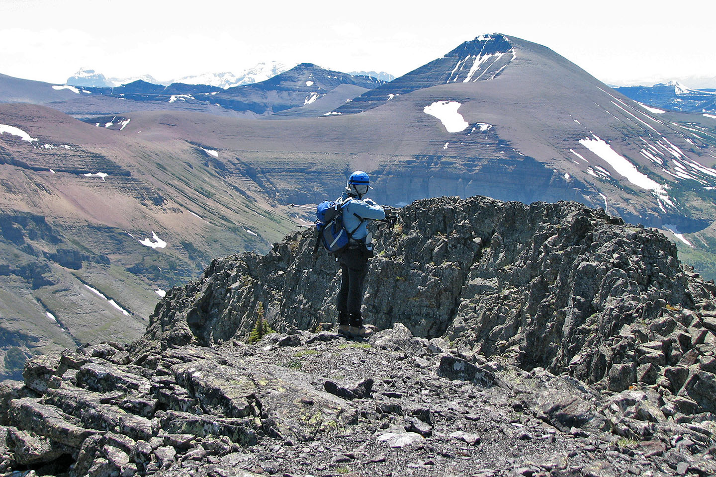
On top of Drywood Mountain
I headed to the col; the west peak of Drywood fills the view ahead
Closer look at the west peak
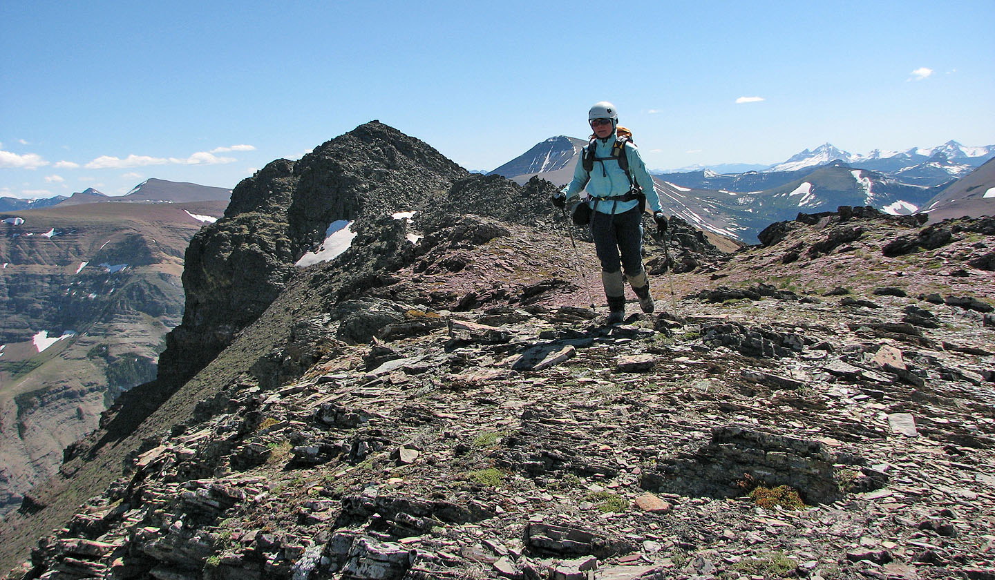
Partway down the ridge I looked back at the summit
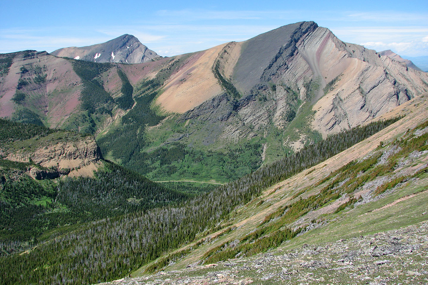
The basin I considered descending is densely forested
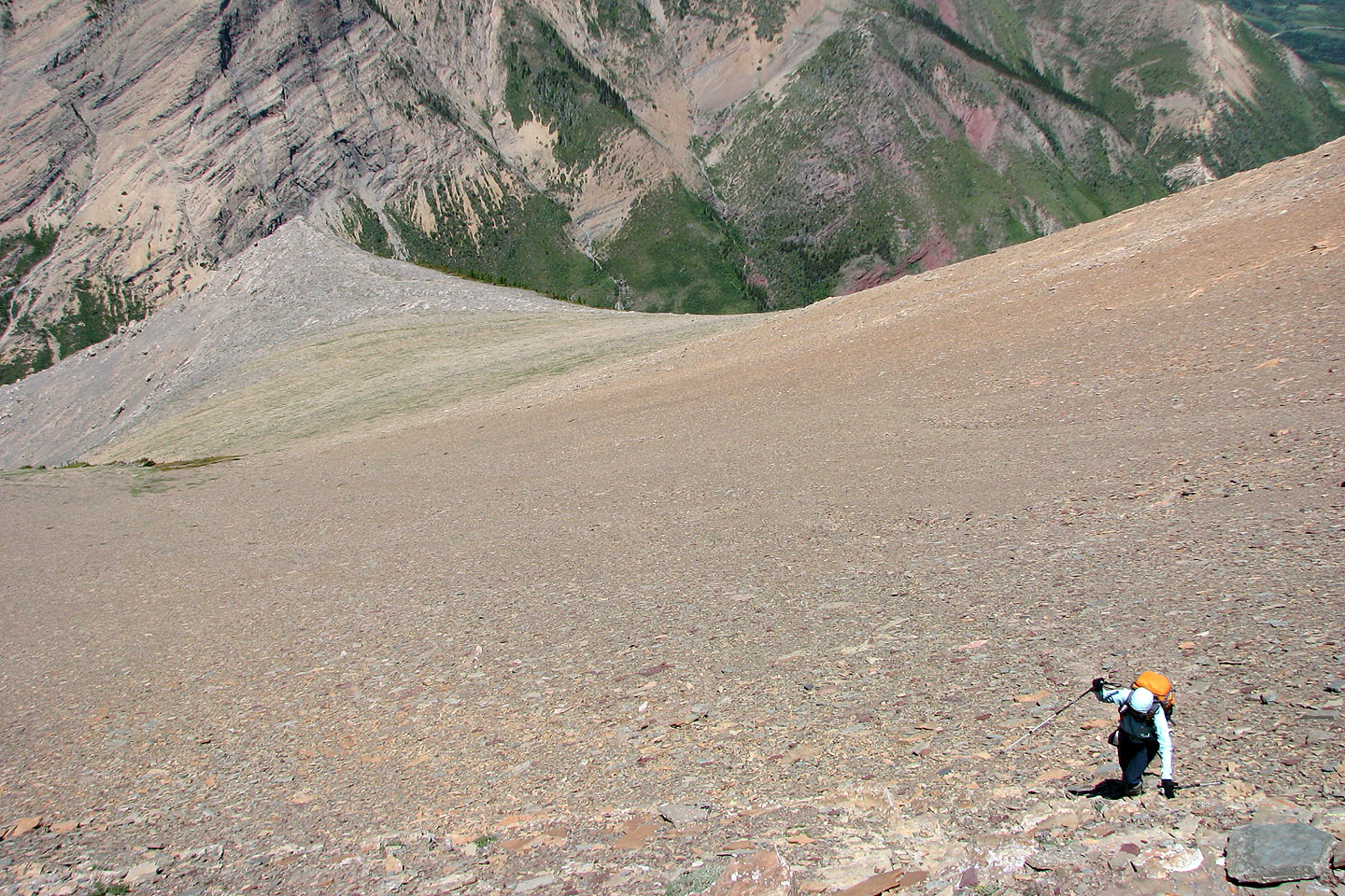
Descending from the summit
On the way back we stuck to the ridge for a last look at the summit
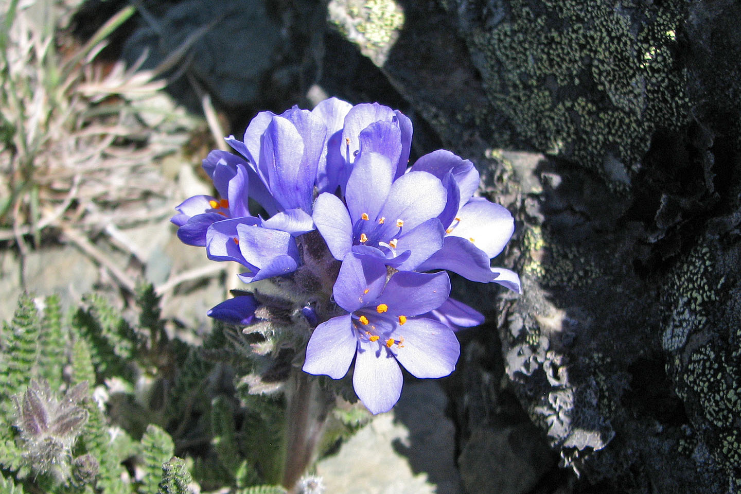
Sky pilot
82 G/8 Beaver Mines