bobspirko.ca | Home | Canada Trips | US Trips | Hiking | Snowshoeing | MAP | About
Waputik Peak
Banff, Alberta
July 30, 2011
Distance: 16.2 km (10.1 mi)
Cumulative Elevation Gain: 1151 m (3776 ft)
After Dinah and I attempted Waputik Peak in 2002, we've always wanted to return, so when the Calgary Meetup posted a trip, we seized on the opportunity. Accompanied by Manon and led by Carl who bagged Waputik three years earlier, we made the summit. We're grateful to have had Carl do the routefinding for us.
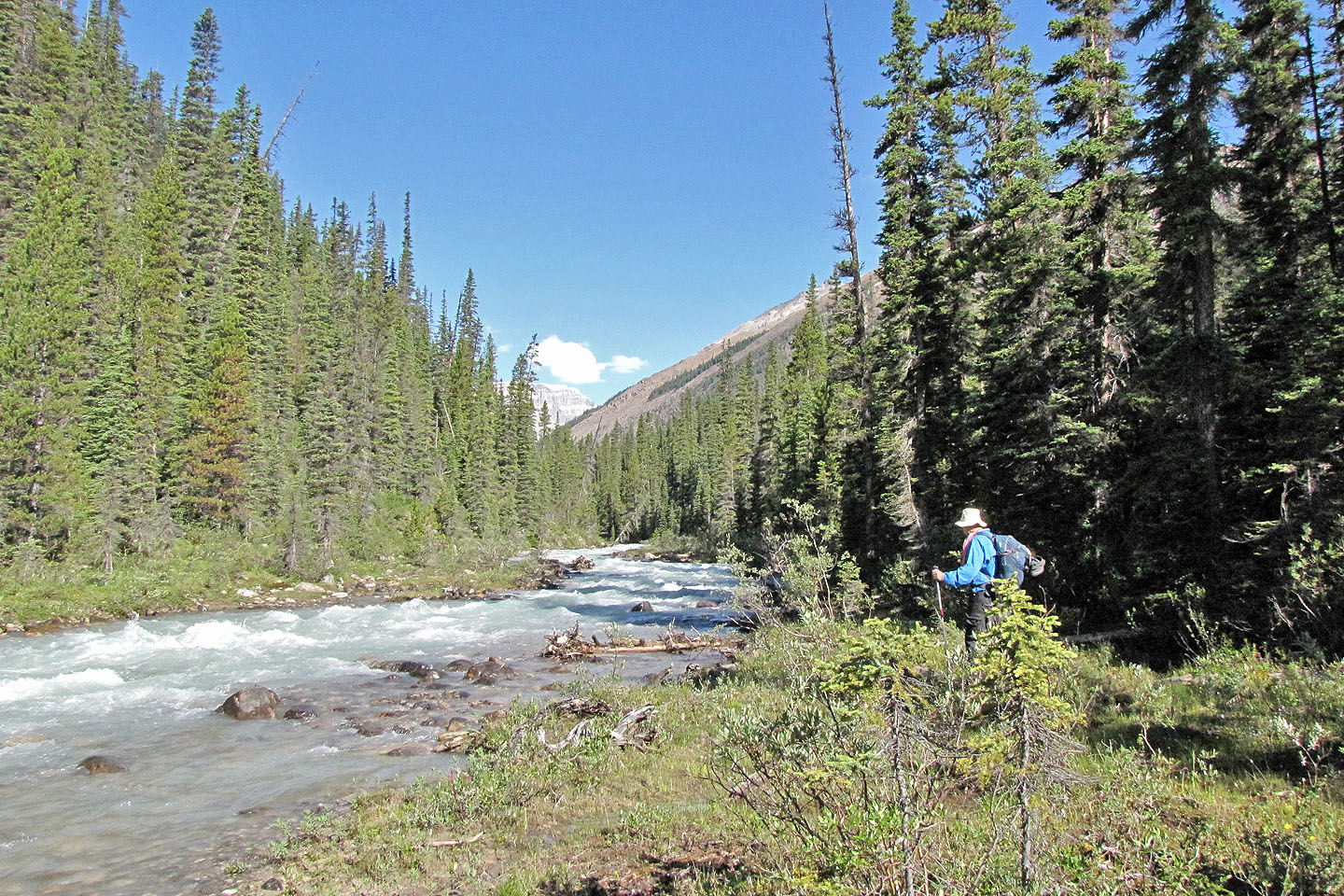
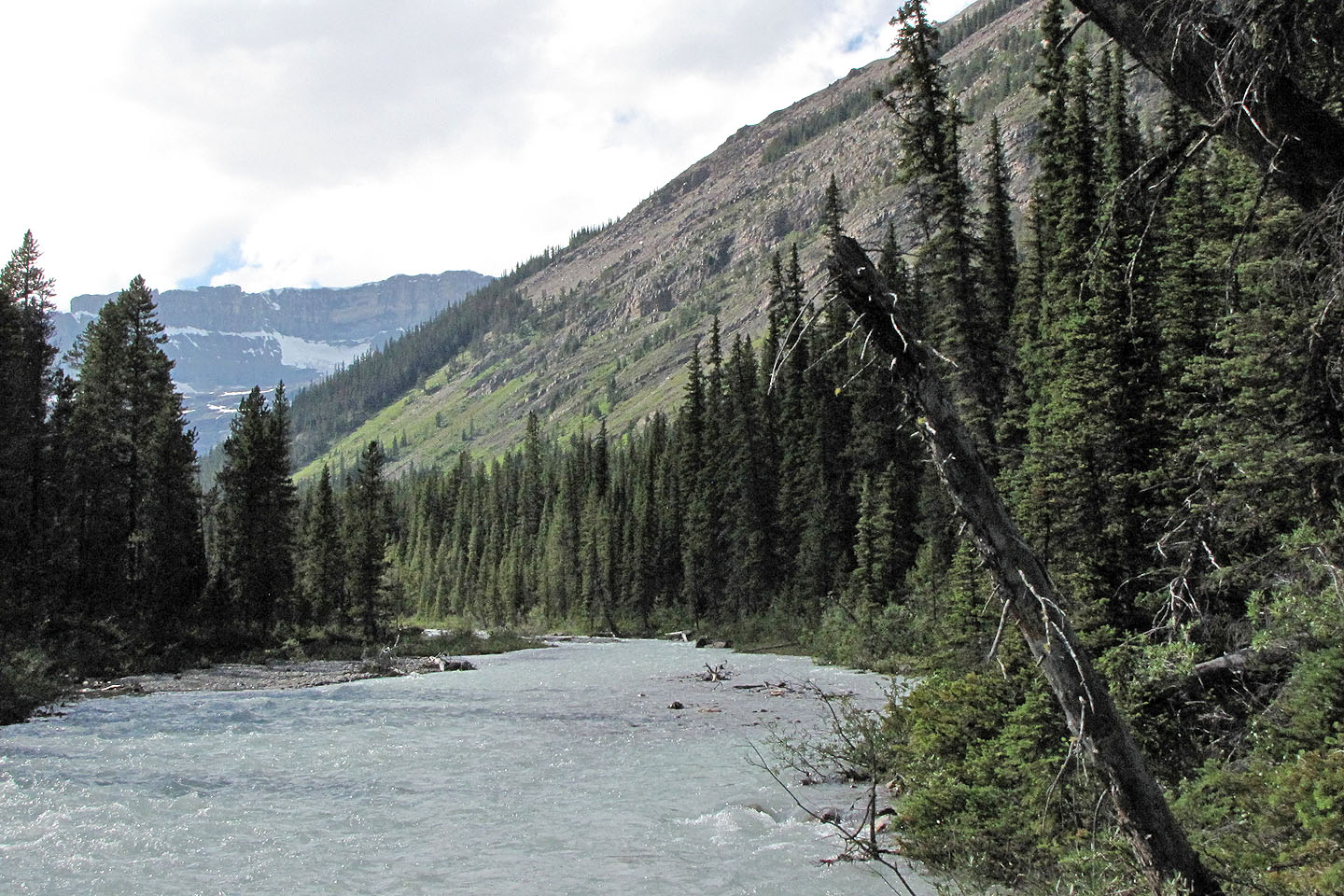
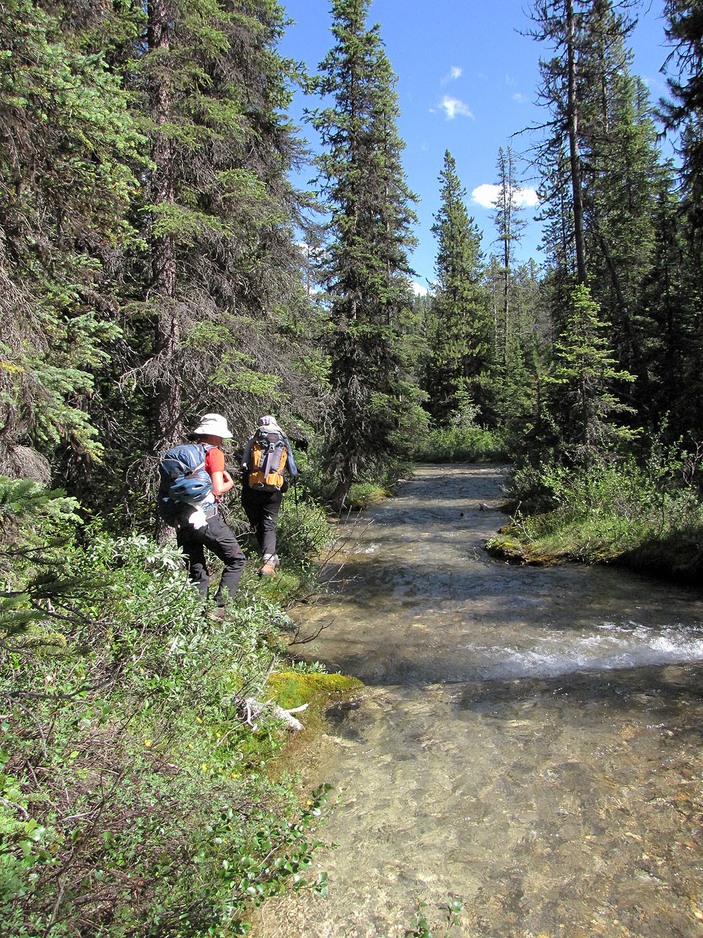
From Lake Louise, we drove about 9 km west to a bend where a side road branches off. After parking, we crossed railroad tracks and set off up a trail. As Carl put it, the trail sucked us into staying on it longer than we should have. We left it but soon picked up another trail alongside Bath Creek. But this trail, a marked ski trail, also lulled us into complacency. We should have left it before it started climbing. We had to bushwhack a few hundred metres to get back to Bath Creek. After that, by bushwhacking and using a smattering of animal trails, we stuck as close to the bank as we could.
After hiking a few kilometres along the bank, with each kilometre looking much the same as the next, we reached a side creek. Using fallen logs, we crossed the creek and continued along Bath Creek for another 500 m to the cobble flats below the ascent slope. We then headed into the trees and after several minutes of bushwhacking, we crossed another creek. To our chagrin, it was the side creek we had crossed earlier! Instead of crossing it at Bath Creek, we should have hiked up alongside it for 400-500 m, and then left it and headed northwest to the avalanche slope.
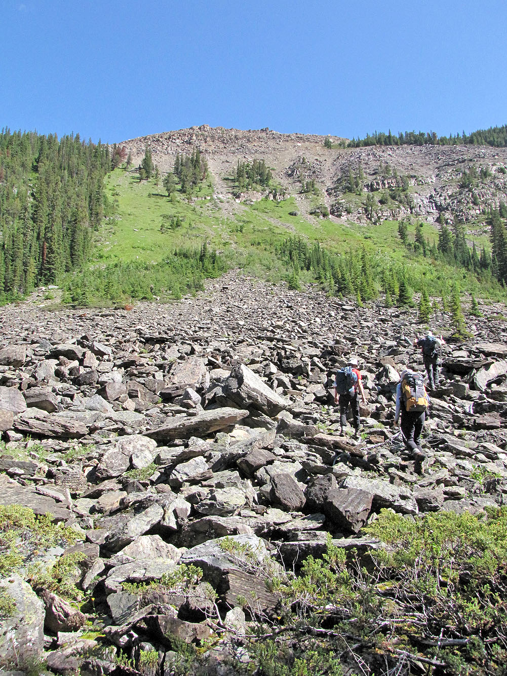
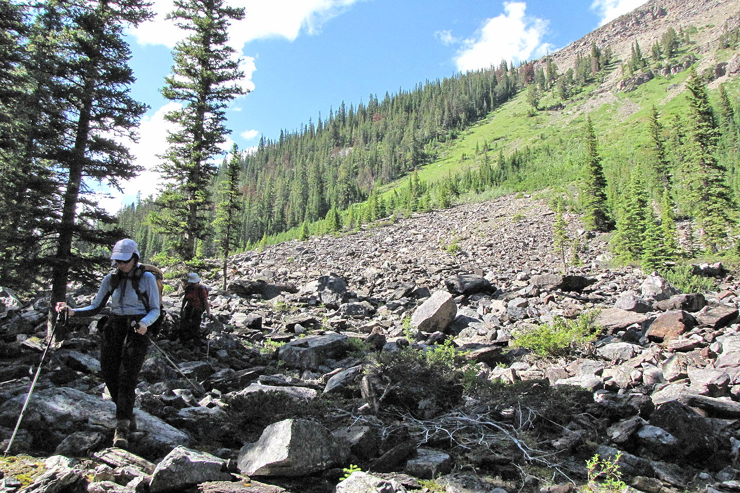
Eventually we came to the rubble that marked the base of an avalanche slope and the start of our ascent up Waputik. Because of the steep grade, this was the worst part of the route. We either slipped on the vegetation or stumbled on loose rock. No one had anything good to say about that slope, and there was some cursing when later we had to descend it.
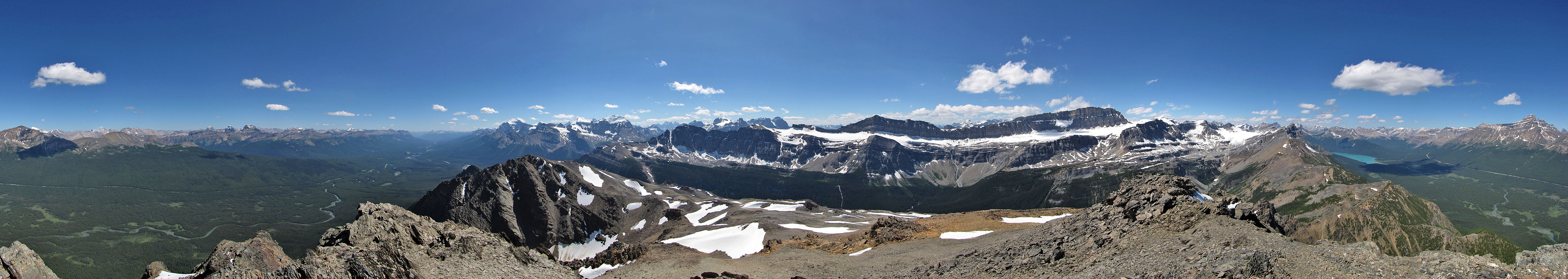
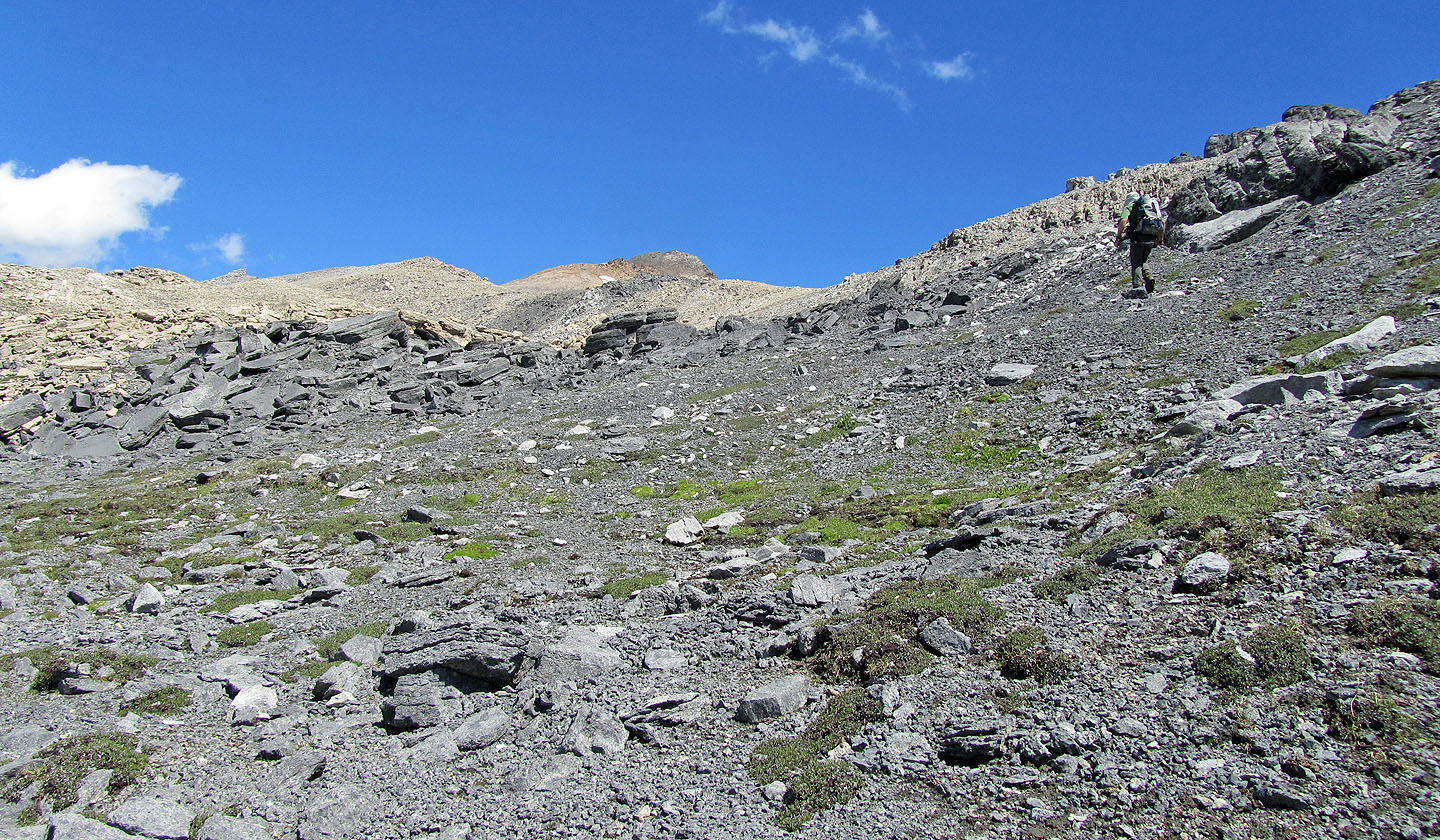
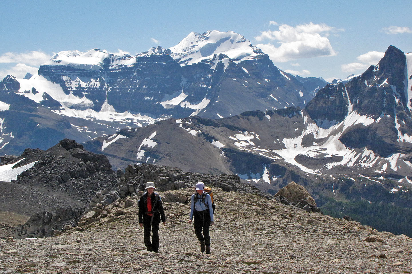
Near the top of the slope, we bore left into the trees where we came across a good animal trail that led to a rubbly slope, a good place to take a break. Afterwards, we continued our upward slog until we at last reached the plateau where the grade eased. Here we cruised up gentle slopes and across snow patches to the final steep climb to the top of Waputik. It had taken us five hours to reach the summit, but it placed us squarely among many familiar and majestic peaks. We spent the better part of an hour admiring them.
Afterwards, we returned to the bottom of the avalanche slope and made our way to the side creek. Instead of crossing it, we followed it easily to Bath Creek.
According to the summit register, Waputik Peak has seen only four ascents in the last ten years, surprising for a climb that's nothing more than an offtrail hike. But the long, troublesome approach should not deter anyone with patience and a desire for magnificent scenery to try it.
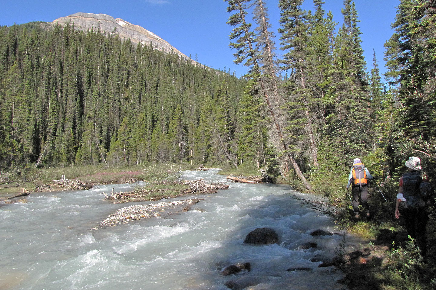
Following Bath Creek
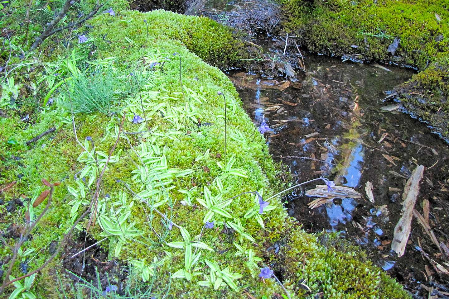
Lots of boggy areas
The ascent slope appears ahead
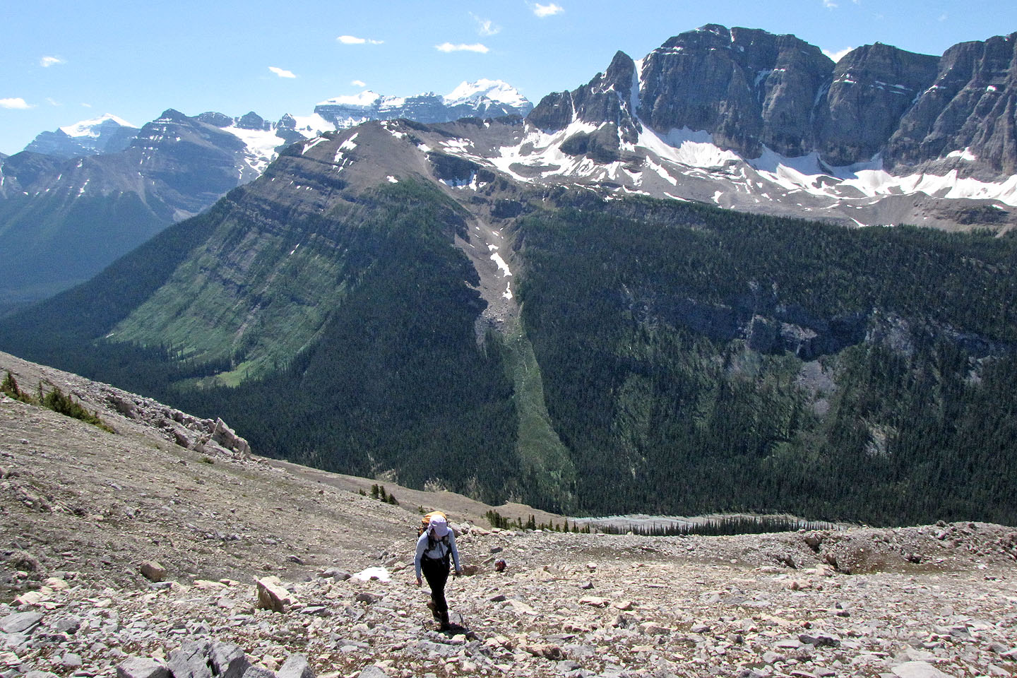
Our ascent line was the diagonal marked by the trees and grassy slope
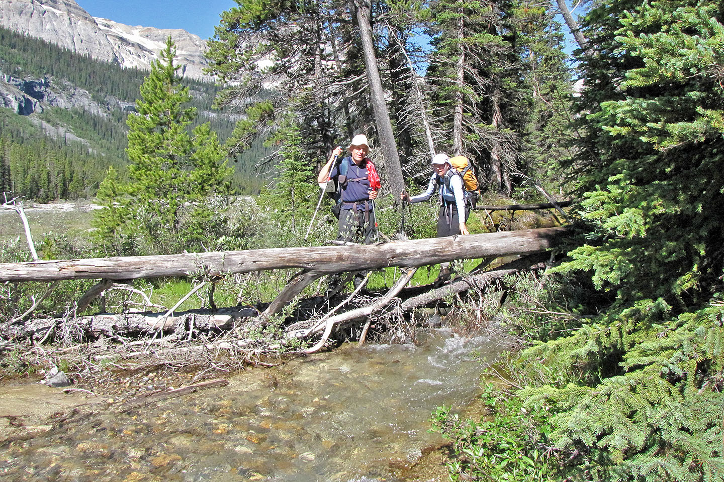
Crossing the side creek
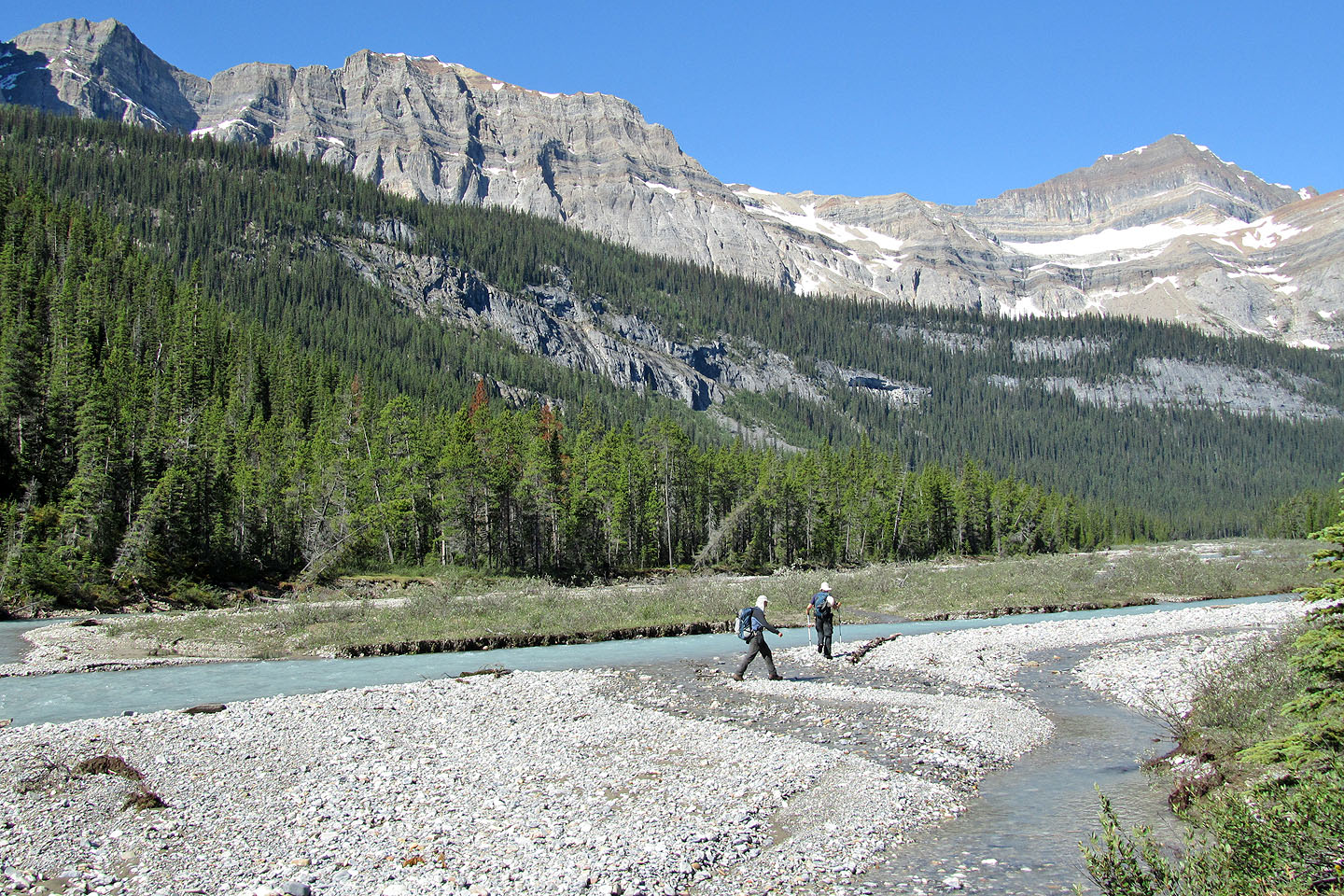
After the side creek we took advantage of the cobble flats
Heading up the avalanche slope. At the top, we'll turn left into the trees.
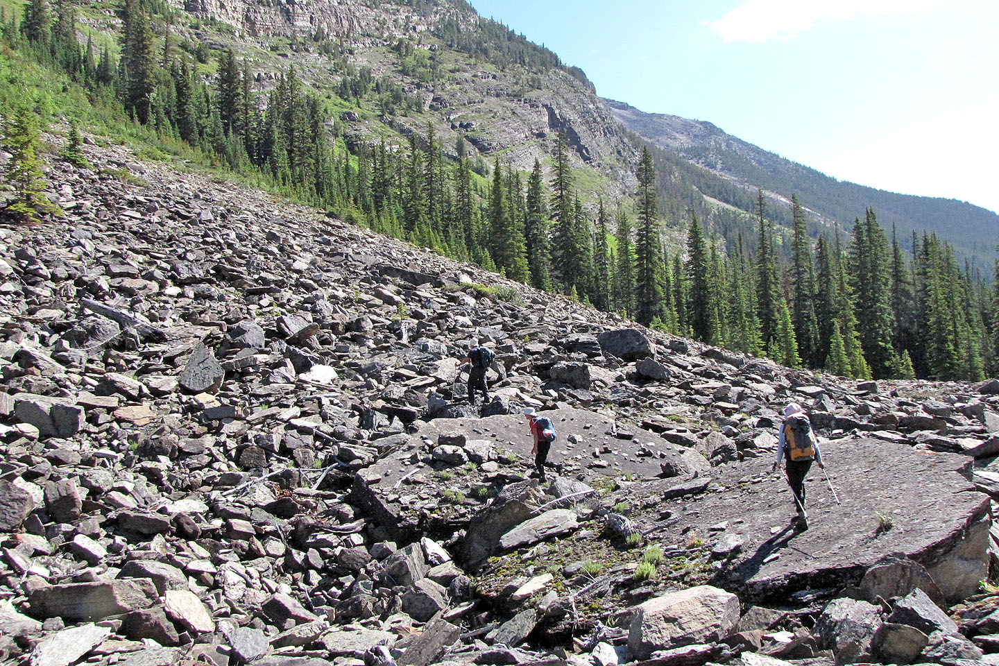
Crossing two huge slabs
Manon hikes up the slope
Grinding up the avalanche slope
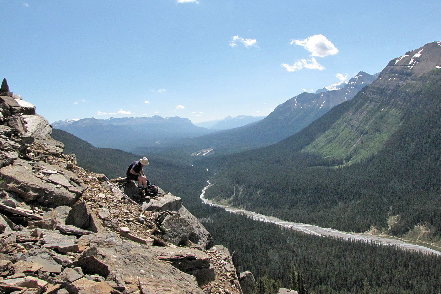
Carl relaxes high above Bath Creek
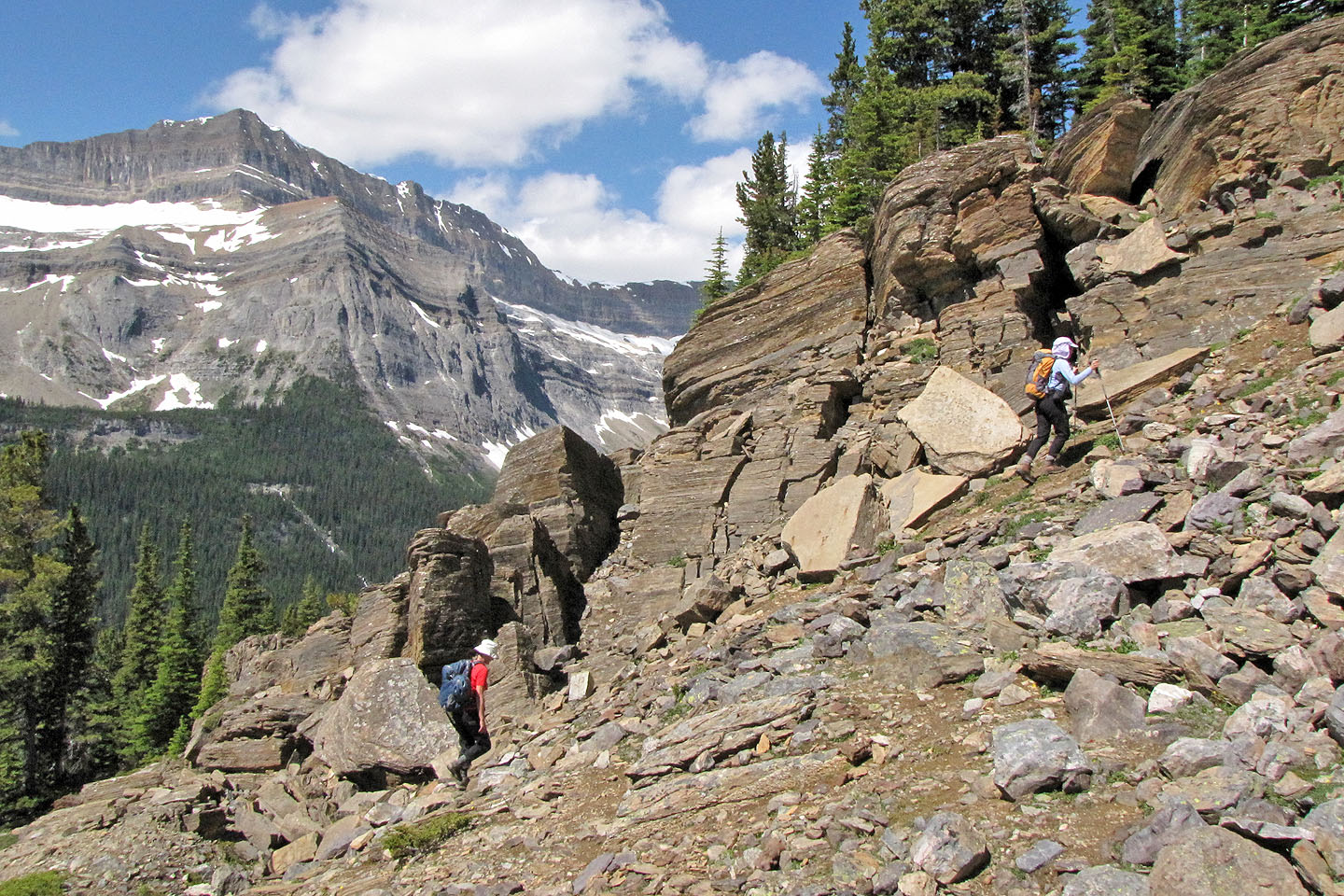
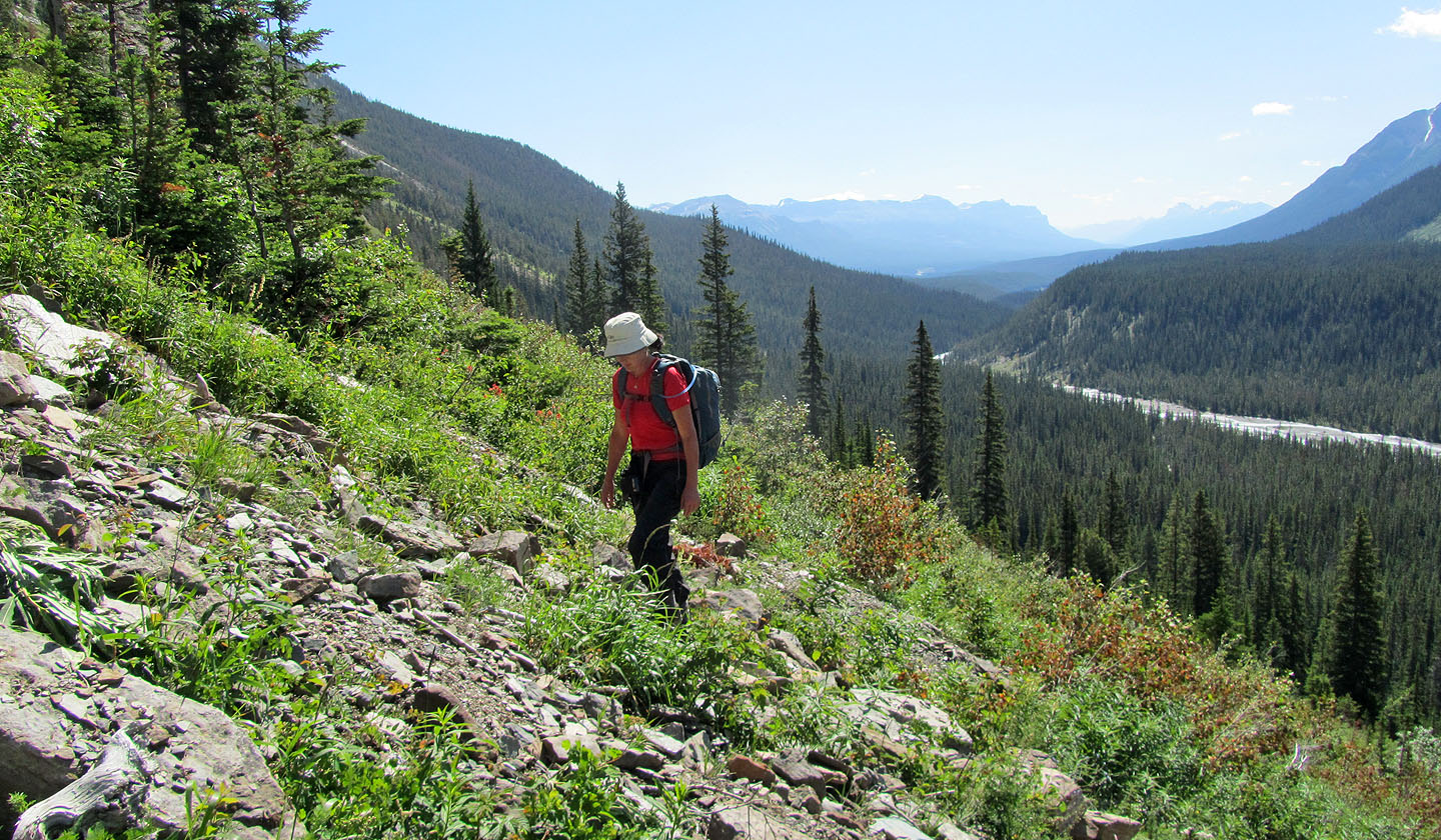
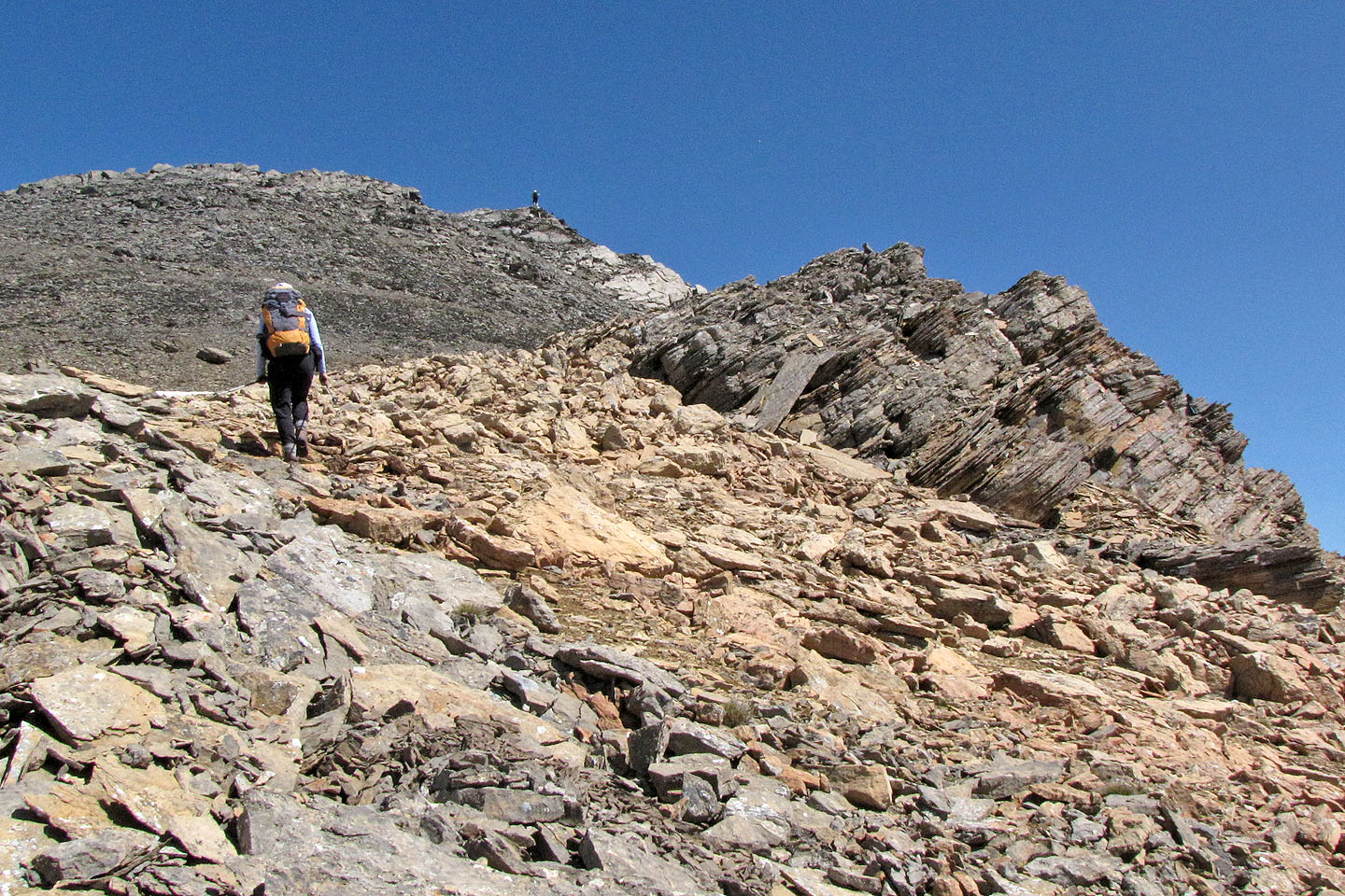
Hiking alongside stratified rocks
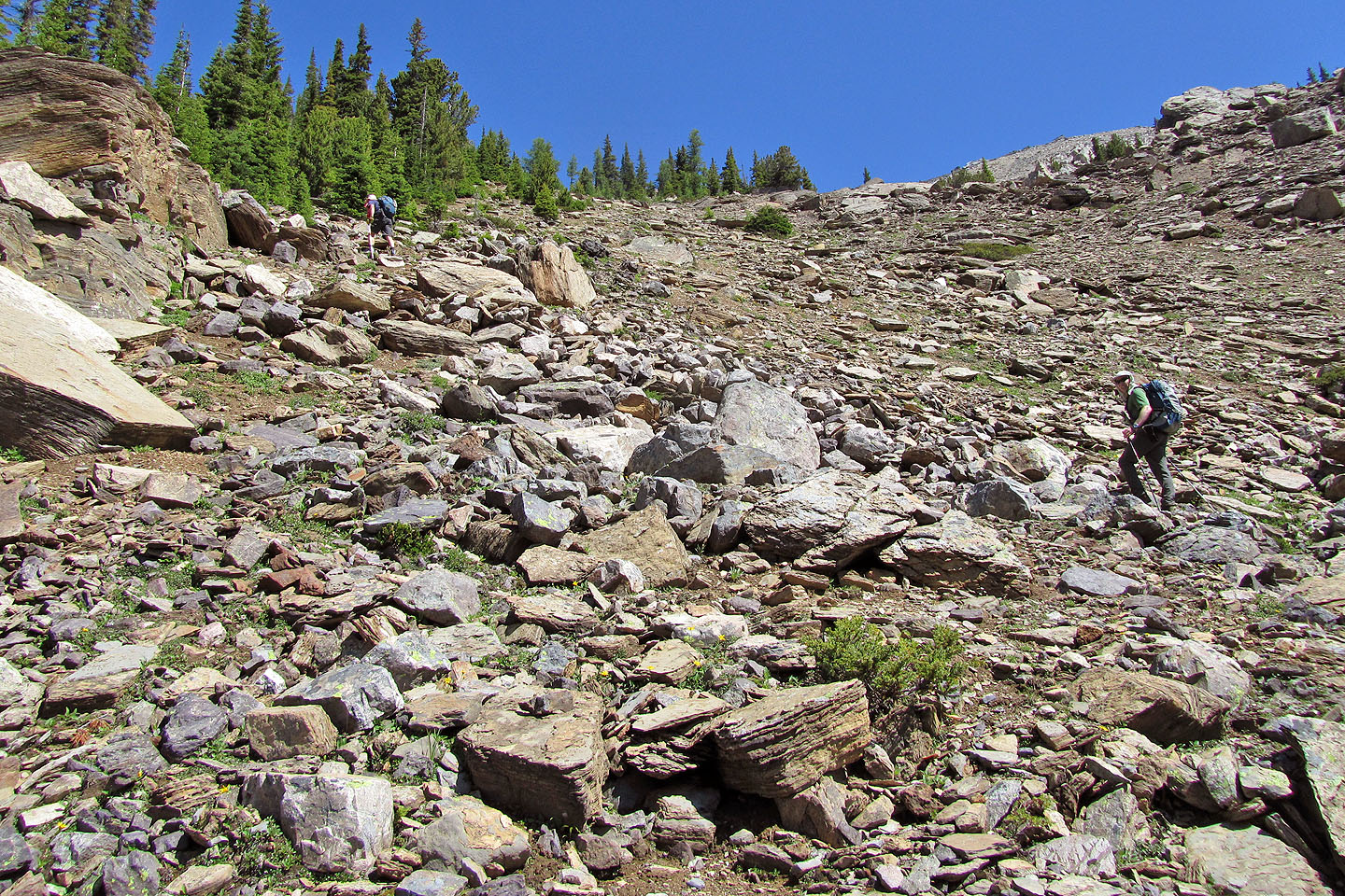
Carl took us left into the trees, but going straight up on open terrain looked easier and more direct
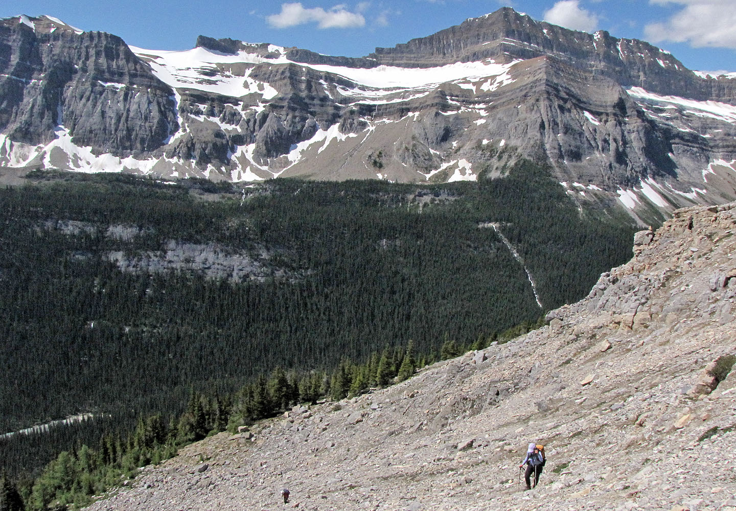
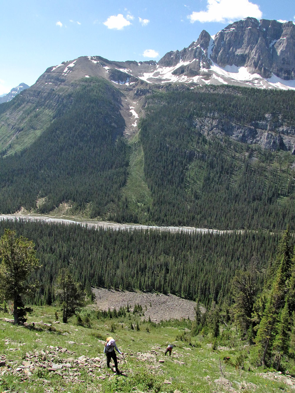
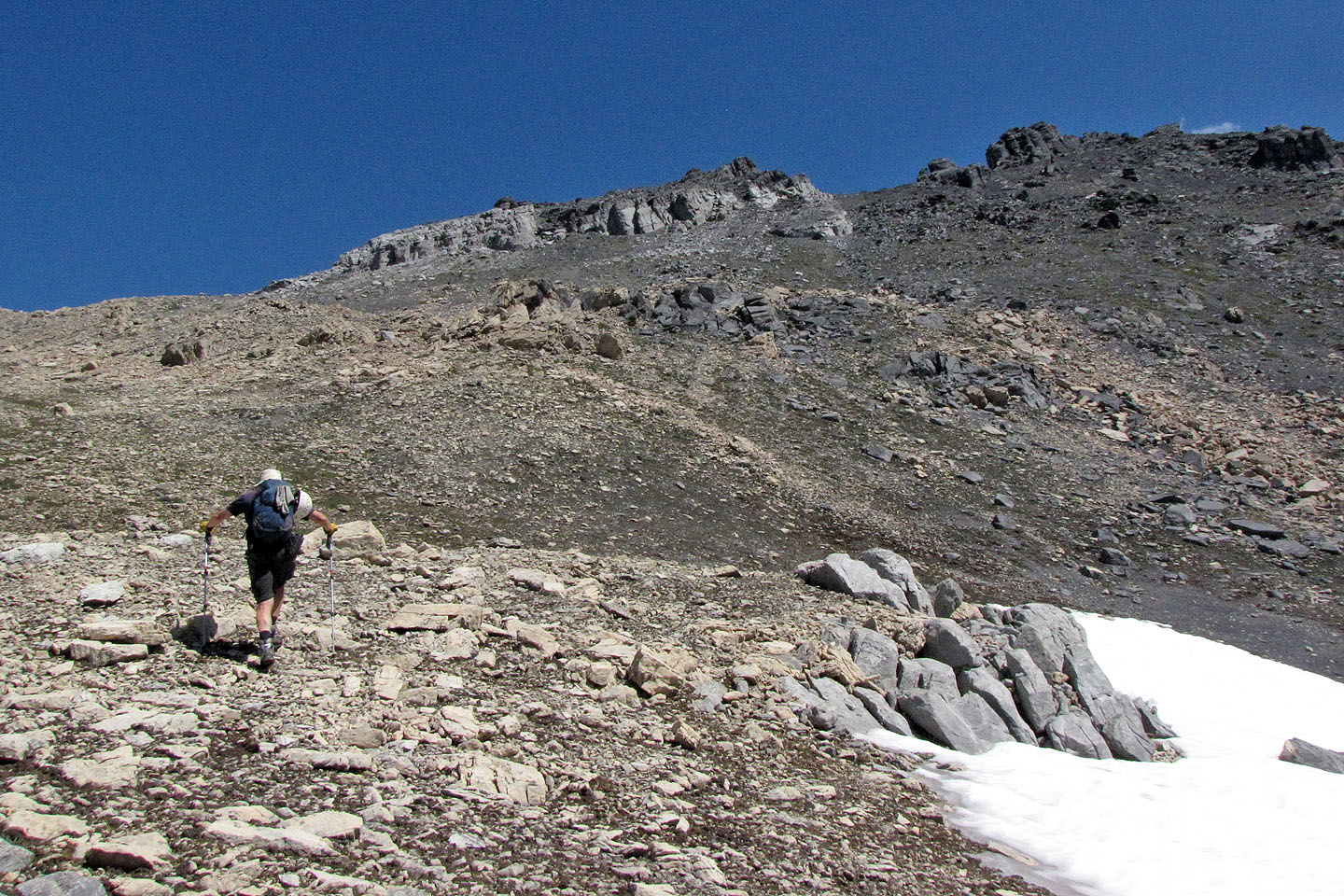
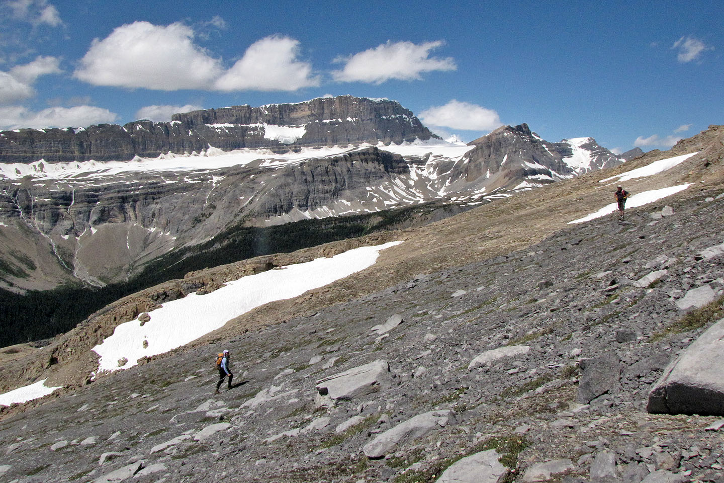
We climbed above the timberline
We'll head left of the gray cliffs on the skyline
Looking back
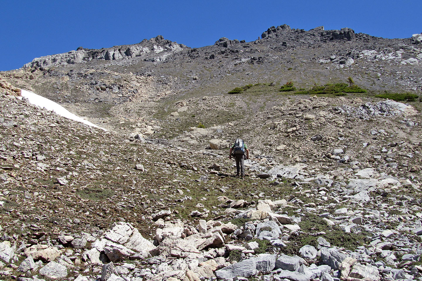
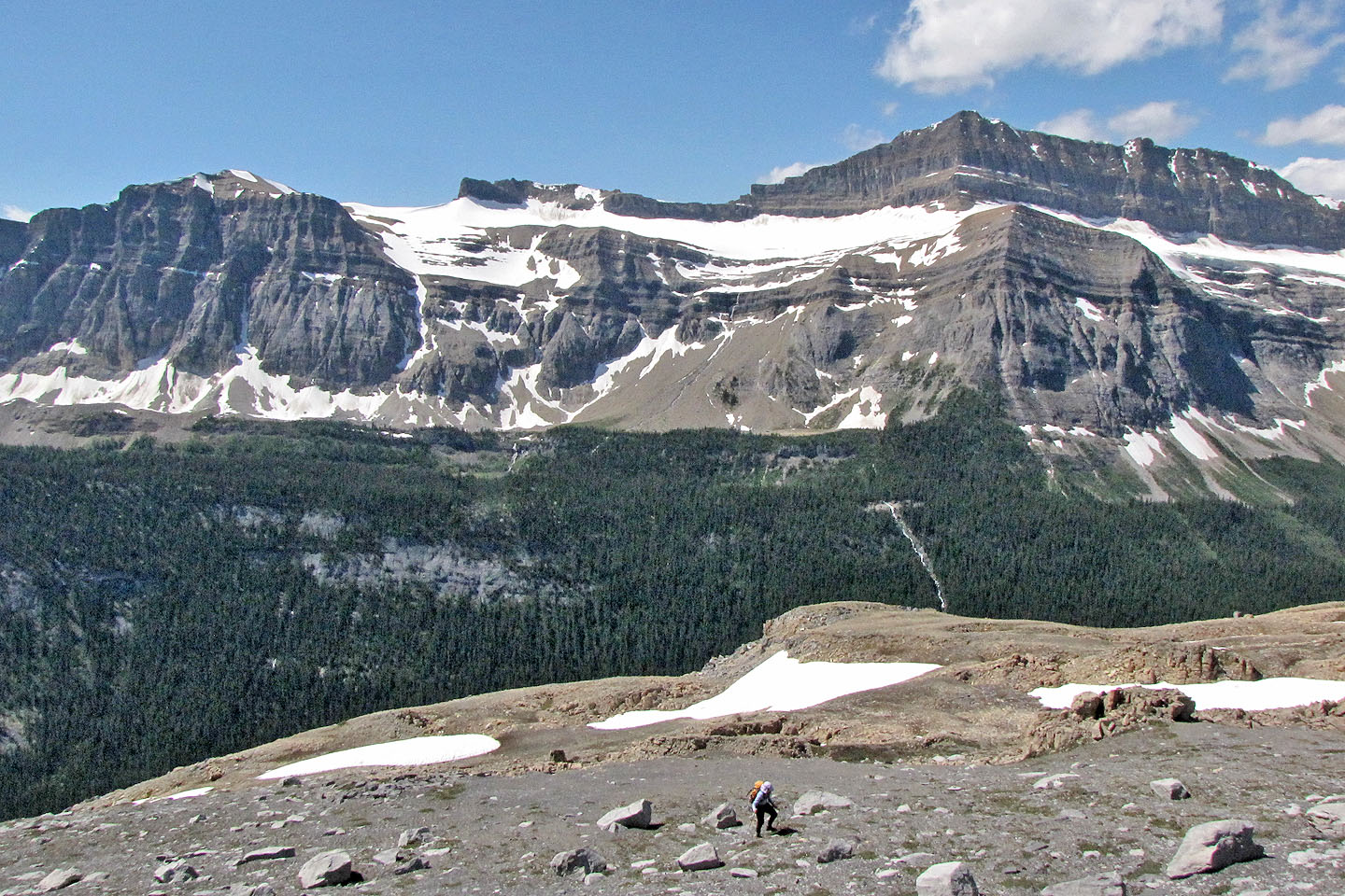
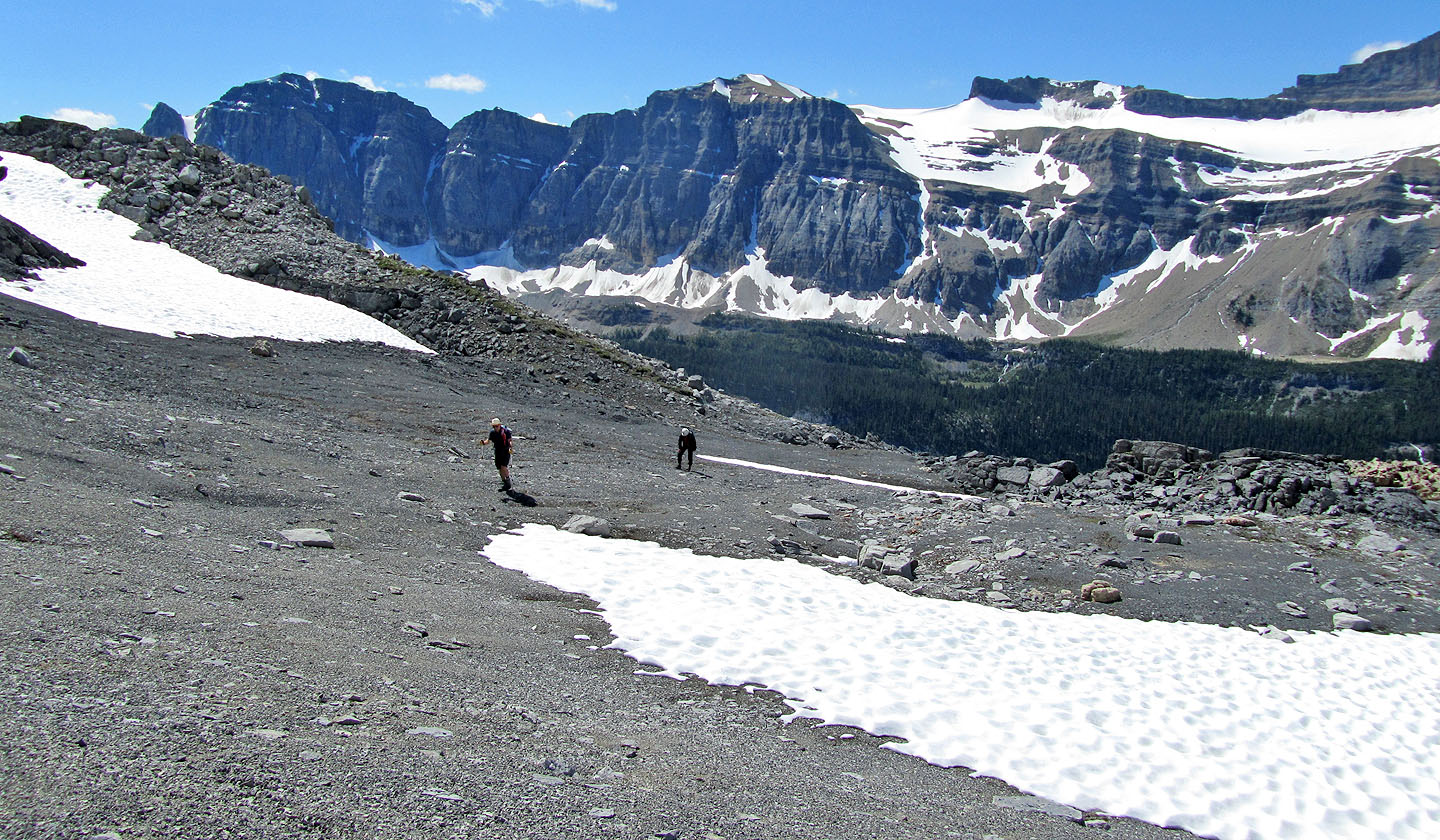
The gray cliffs still appear far away
The summit (centre) appears above the plateau
Mount Daly on the left
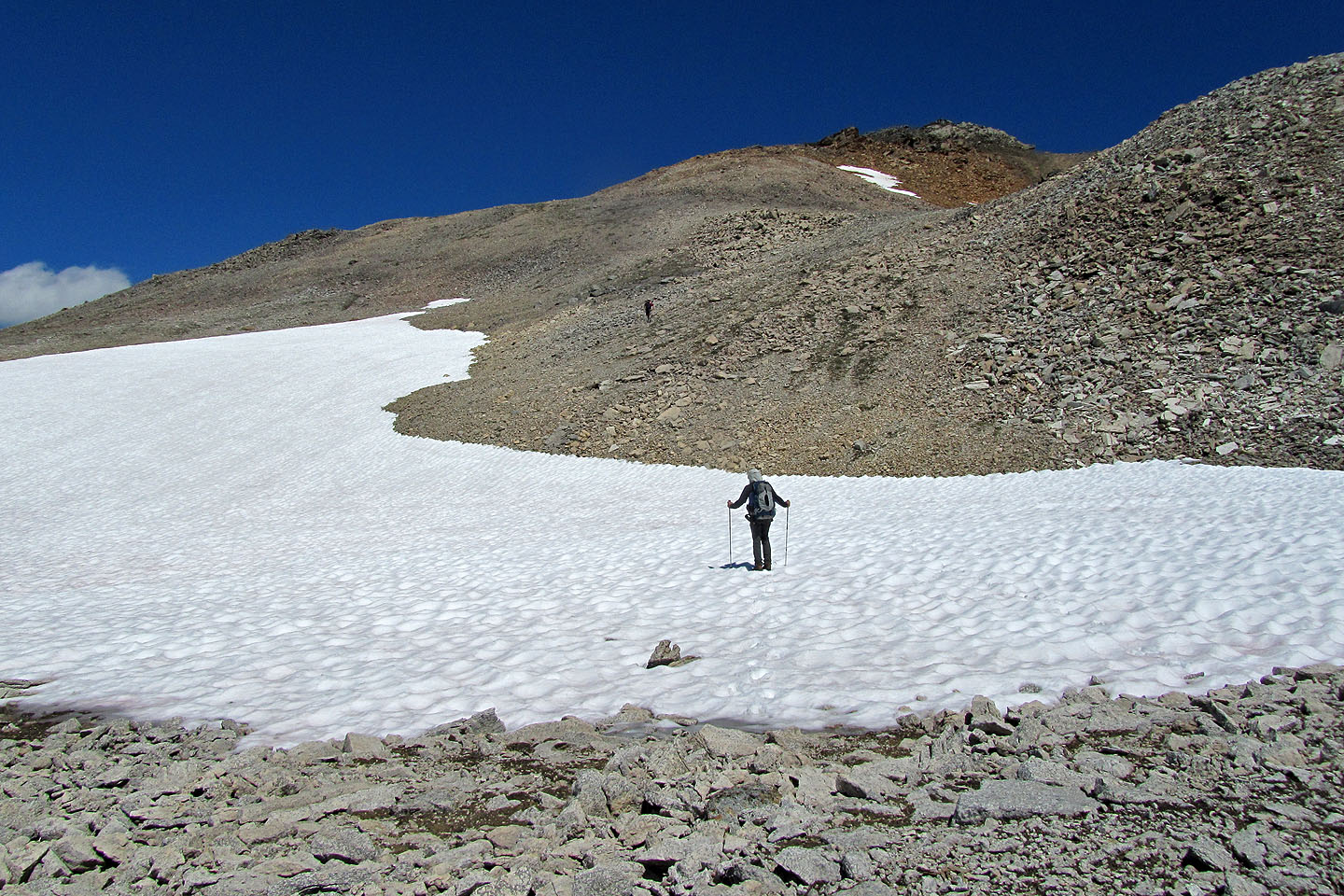
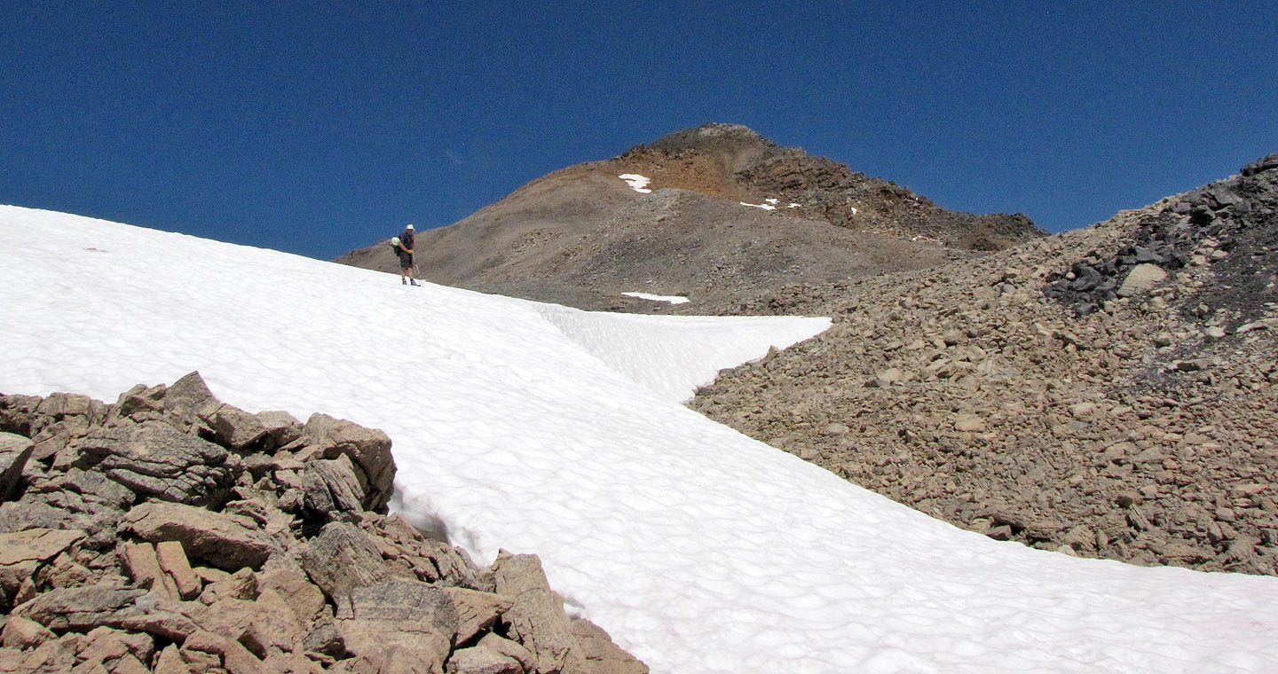
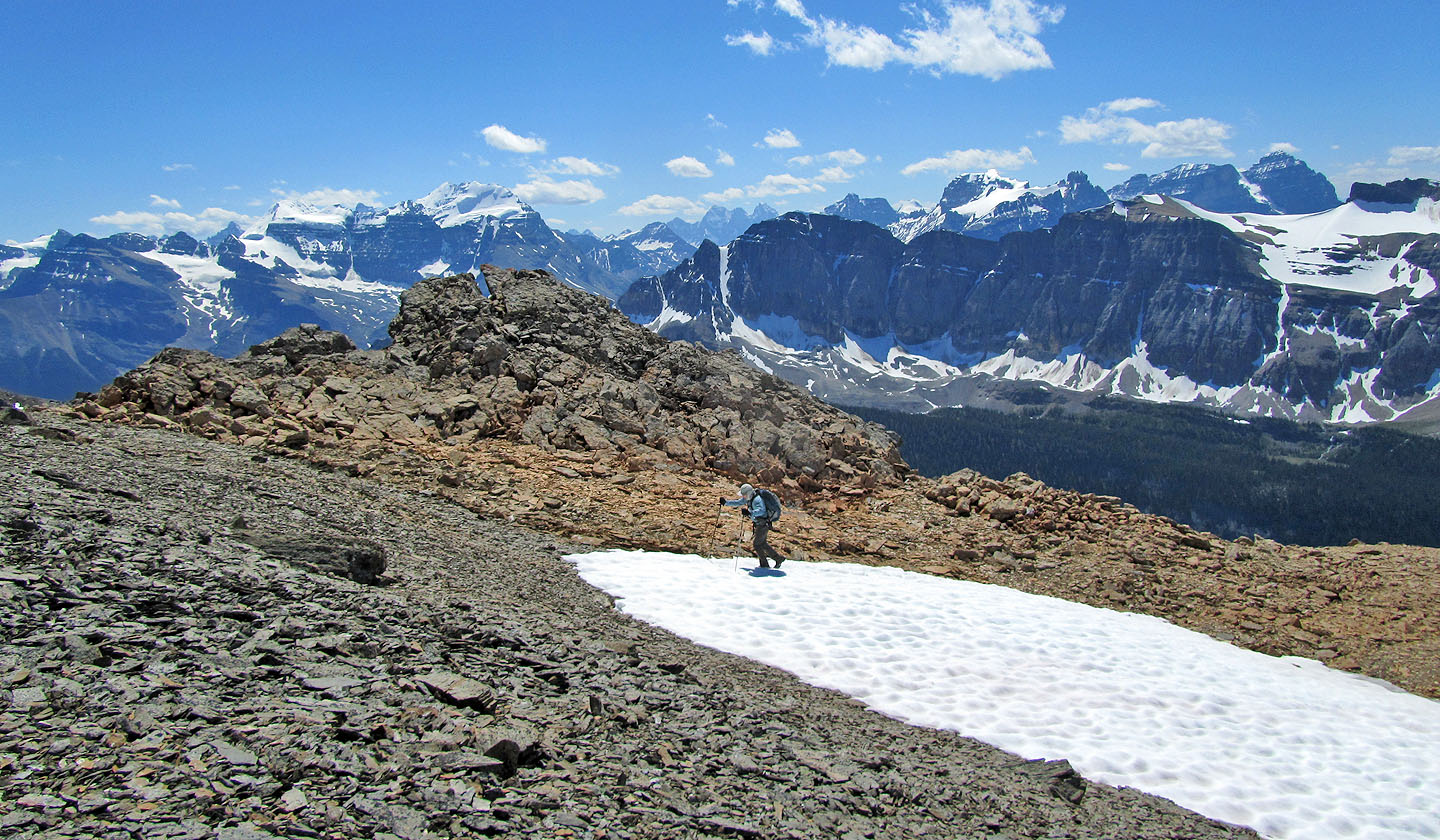
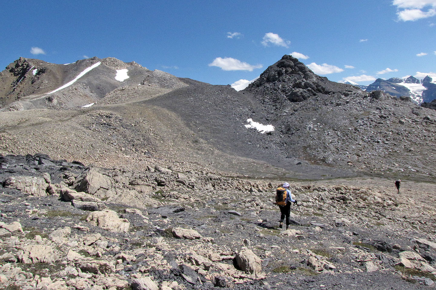
The grade eases on the plateau
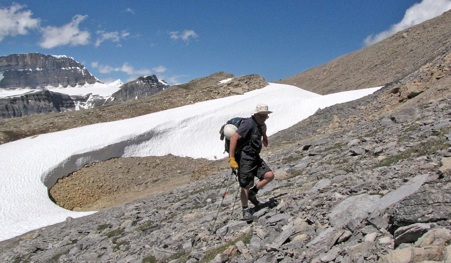
Snow persists on the plateau
Heading to the summit
Victoria Peak rises behind Manon and Dinah
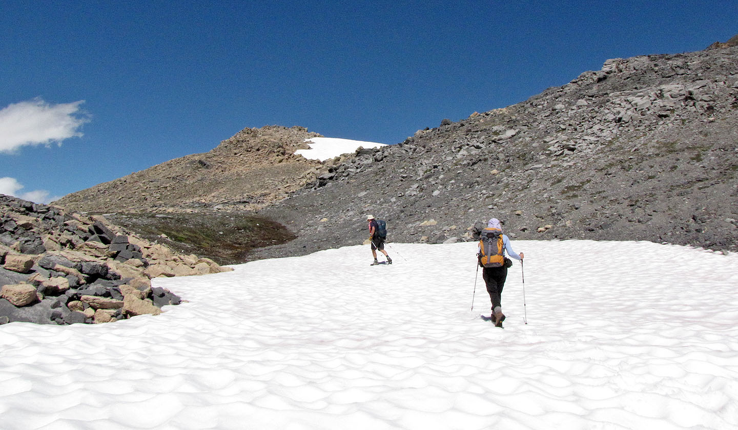
Crossing another snow patch
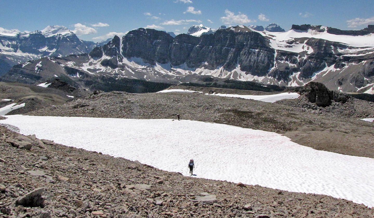
Looking back
The summit lies ahead
Carl waits on the summit
Spectacular scenery!
Almost on the summit
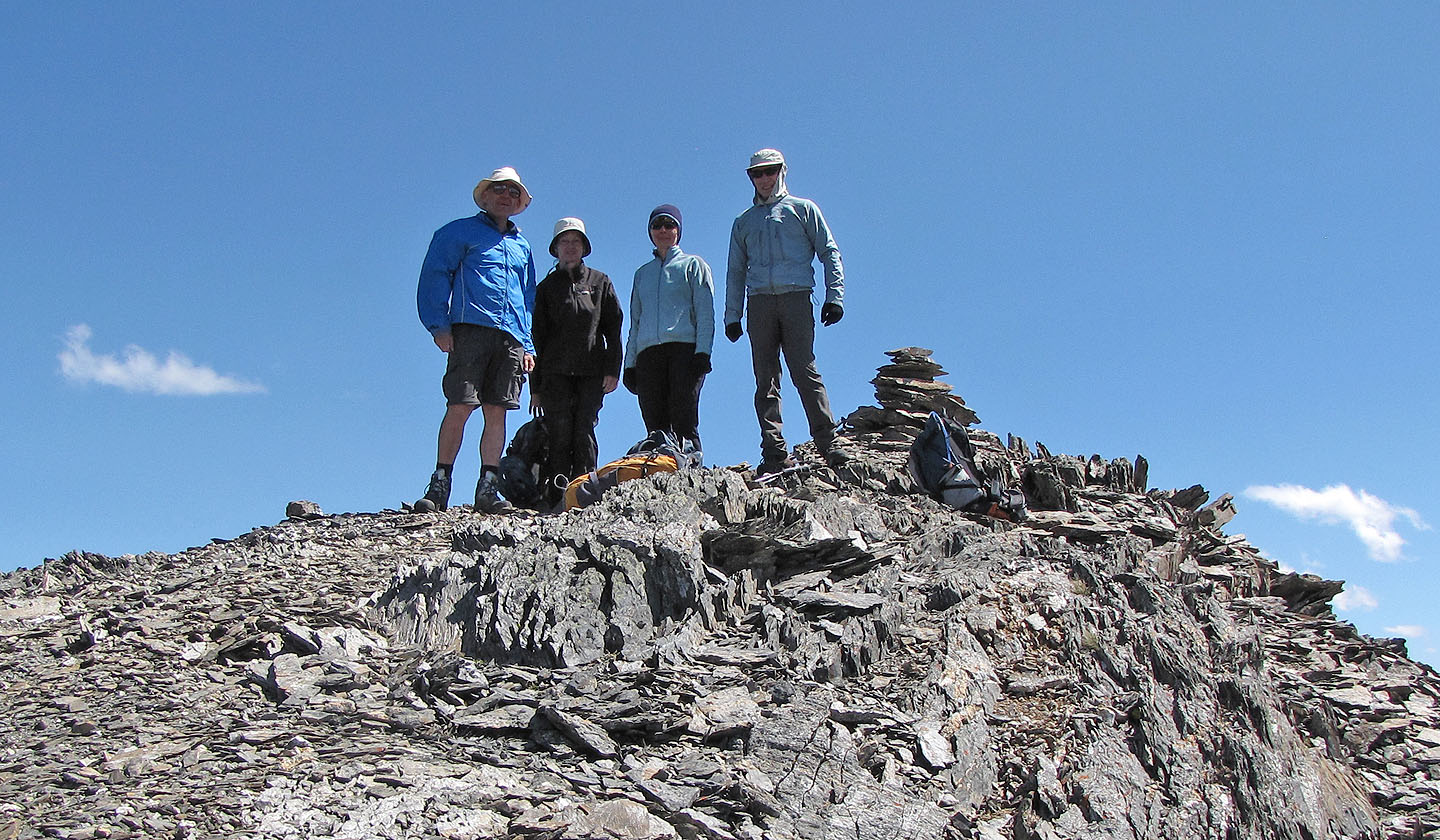
The summit
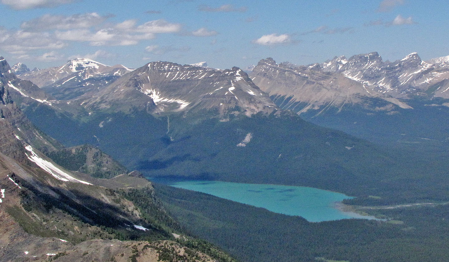
Bow Peak towers above Hector Lake
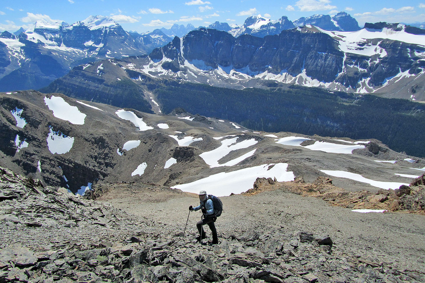
Heading back across the plateau
Back at the bottom of the ascent slope
Following the side creek
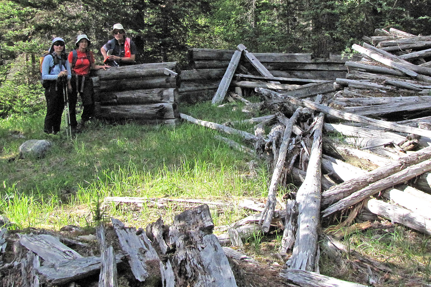
Remains of a cabin
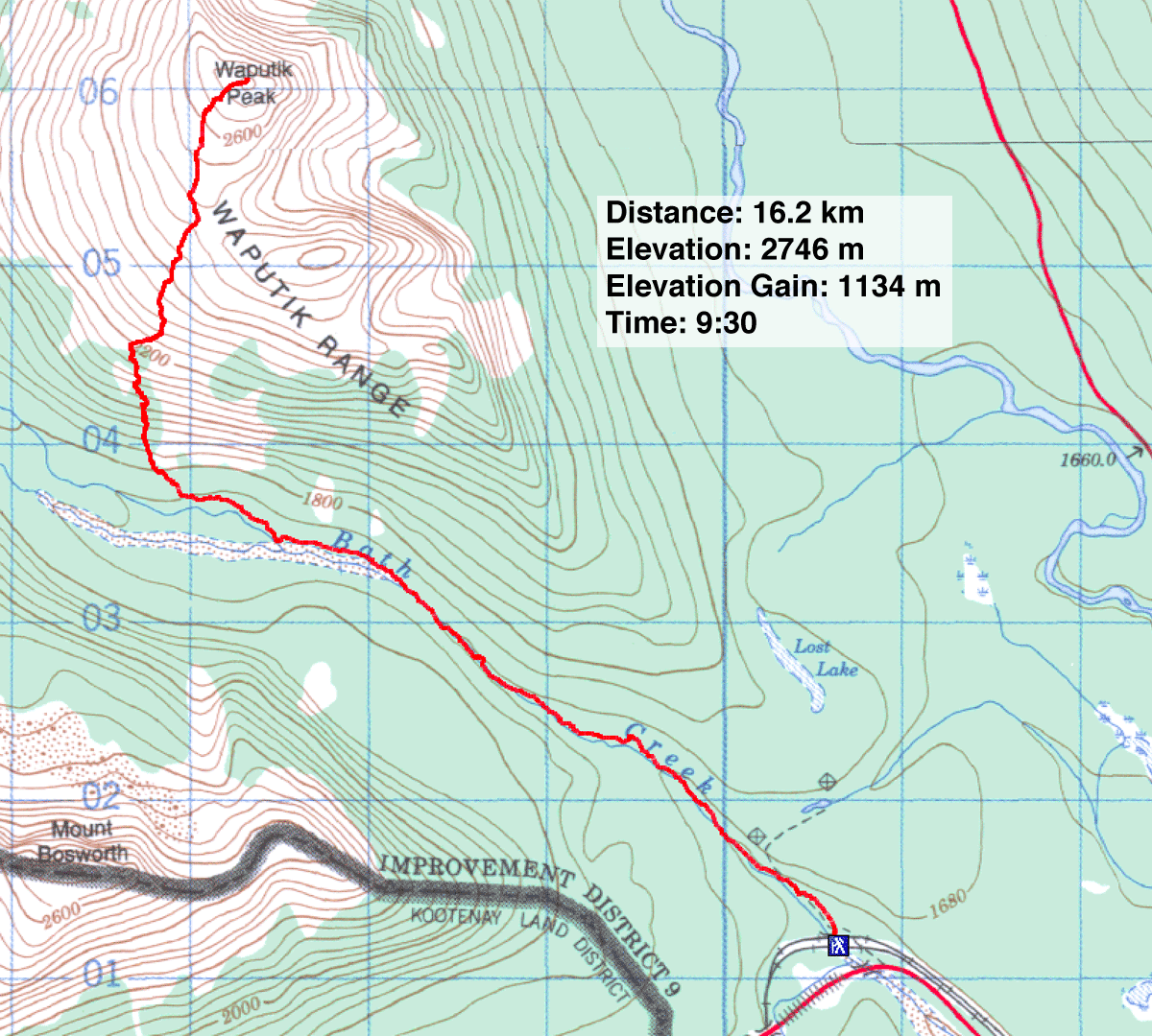
82 N/8 Lake Louise, 82 N/9 Hector Lake (descent route)
