bobspirko.ca | Home | Canada Trips | US Trips | Hiking | Snowshoeing | MAP | About
Kent North and West Outlier
Kananaskis, Alberta
July 27, 2013
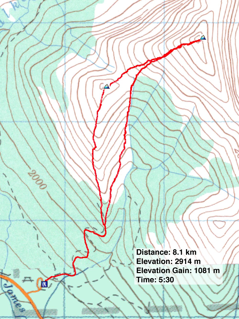
Distance: 8.1 km (5.0 mi)
Cumulative Elevation Gain: 1136 m (3727 ft)
The north summit of Kent Ridge – or “North Kent” as Gillean Daffern simply calls it – can be reached a several ways, but I chose routes described in the Kananaskis Country Trail Guide. I ascended the gully that runs between the West Outlier and North Kent but returned along the outlier.
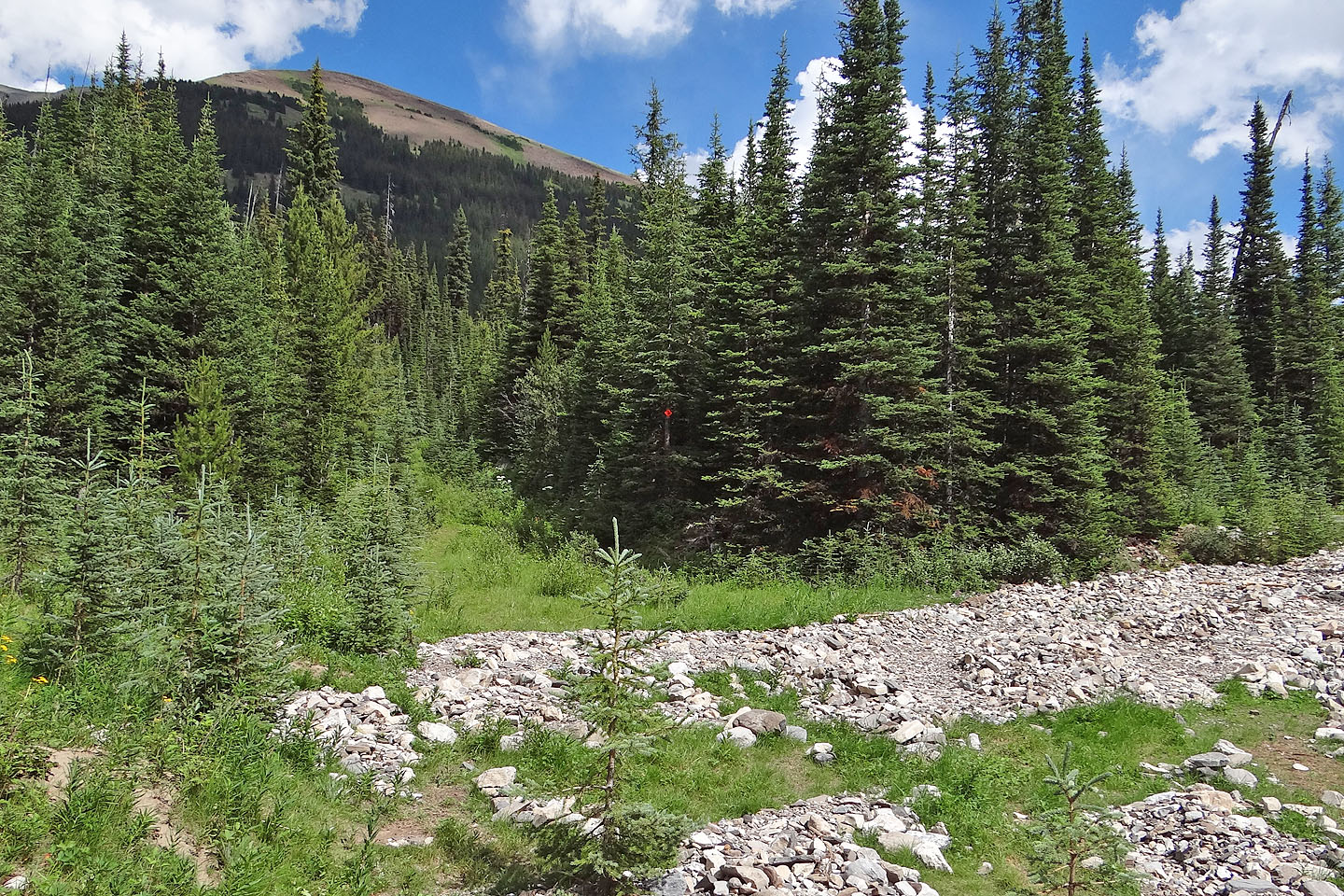
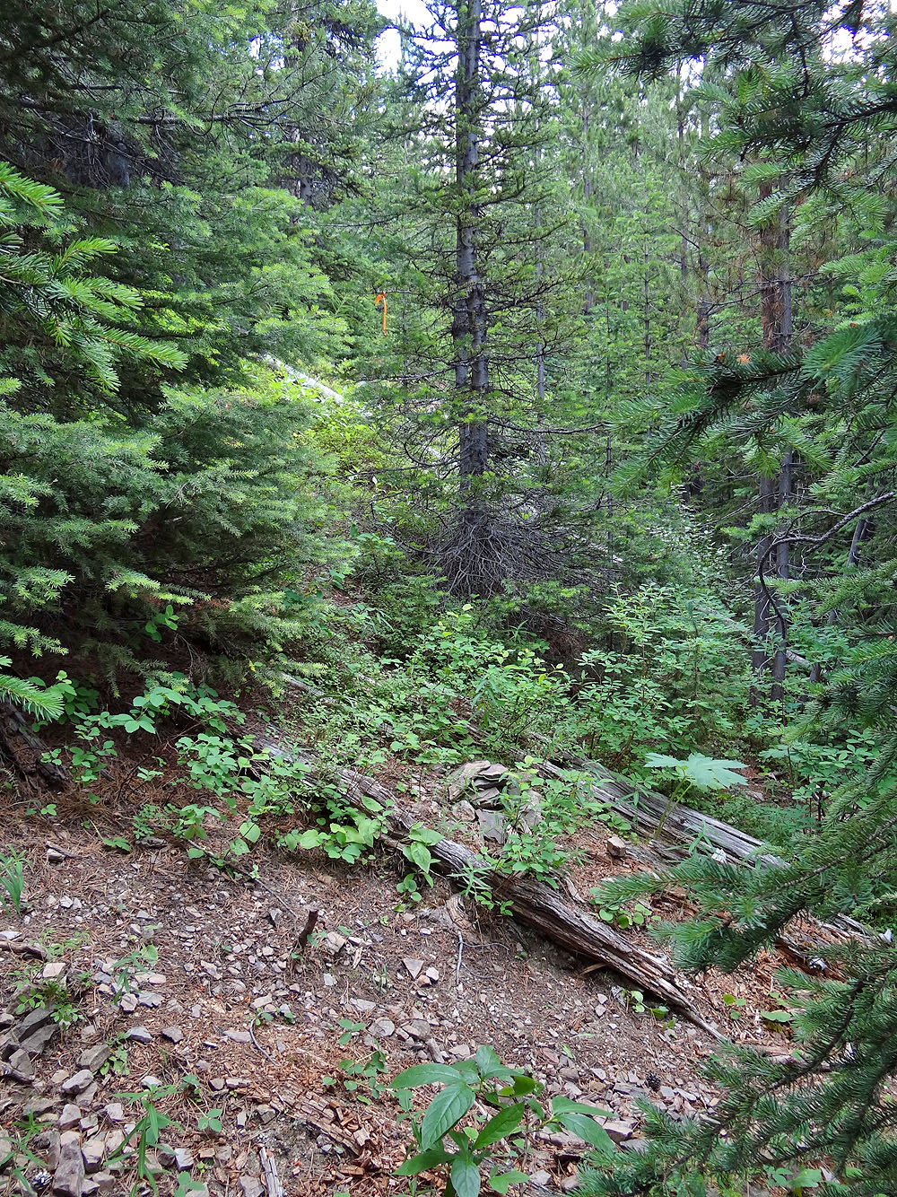
Starting from the Sawmill day-use area, I started up the trail. (Don't take the newly graded dirt road behind the outhouses, but instead walk a bit north to a metal gate.) This trail is part of a network of logging roads that lead to the outlier, provided one is careful to take the correct forks and turns. Otherwise expect to get lost in a maze of bushy roads. Well up the trail, look for a faint side trail on the right that's easily missed if one is inattentive. It follows an overgrown road before reaching the spacious meadows below the outlier. From the meadows, I got a good look at the gully and the rubbly slopes leading to the summit of North Kent. The trail disappeared at the edge of the meadows.
Aiming for the gully, I traversed the meadows above the drainage and lost little elevation. When I reached the gully, I stayed high on the right side where I found firm footing. I hardly set foot in the gully.
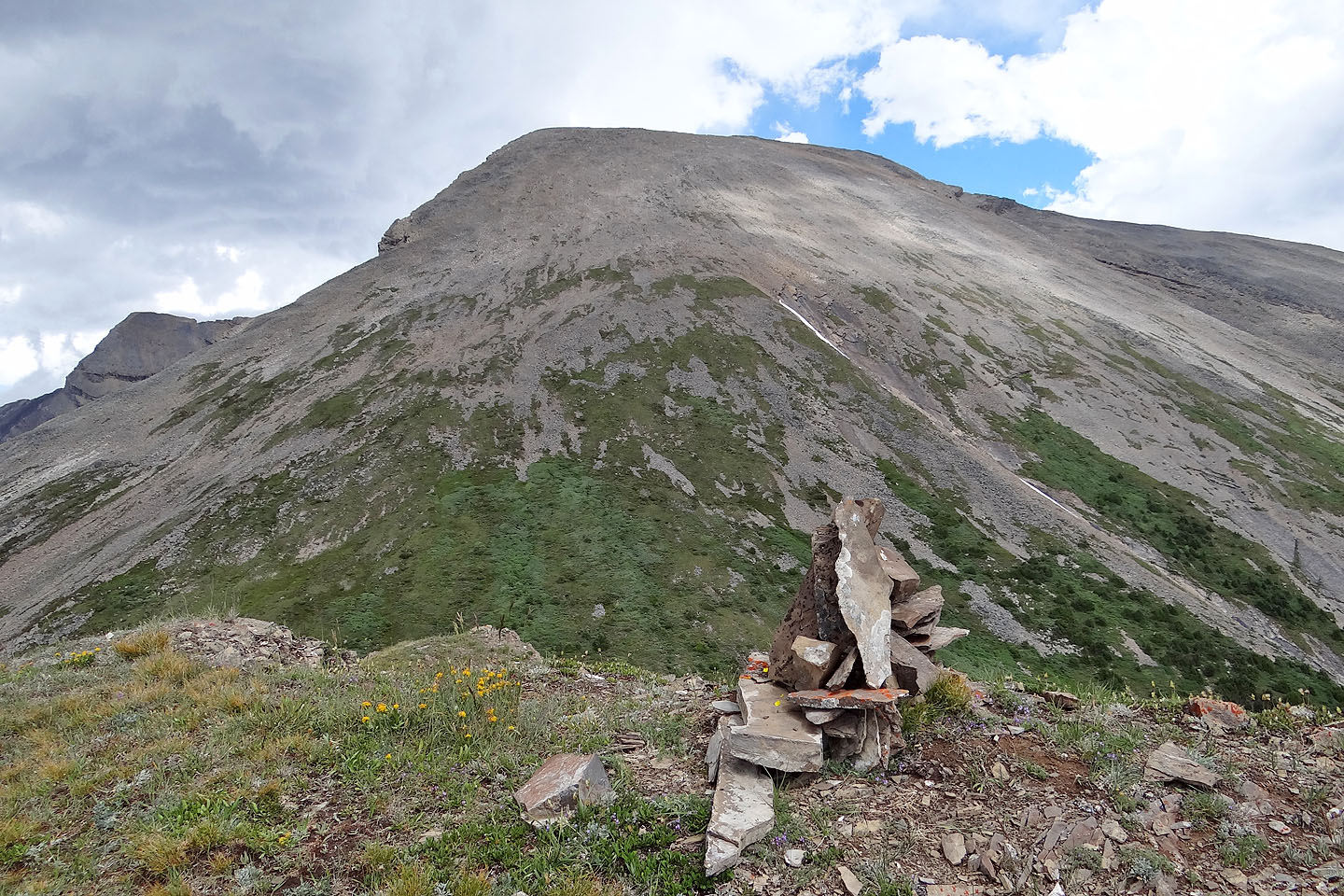
Before reaching the col at the top of the gully, I swung right and headed up the open slopes to the summit. After an uninspiring plod to the top, I reached the summit cairn. The register showed only one entry for 2013, just days before the June flood.
Although I had no difficulties ascending the gully to climb North Kent, I looked forward to the scenic ridgewalk over the outlier, void of any bushwhacking and routefinding. Even at the expense of climbing 50 m from the col, it was a fine finish to the trip.
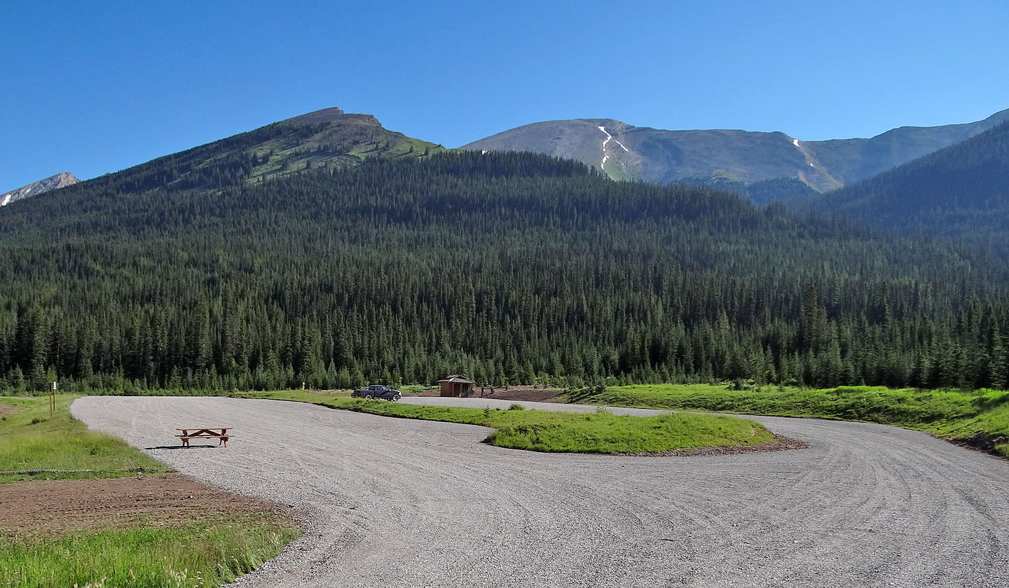
The outlier and North Kent from the Sawmill day-use area
Just past the metal gate, the trail forks. Keep left to reach the outlier and North Kent.
Orange flagging and a tiny cairn mark the side trail to a road to the meadows
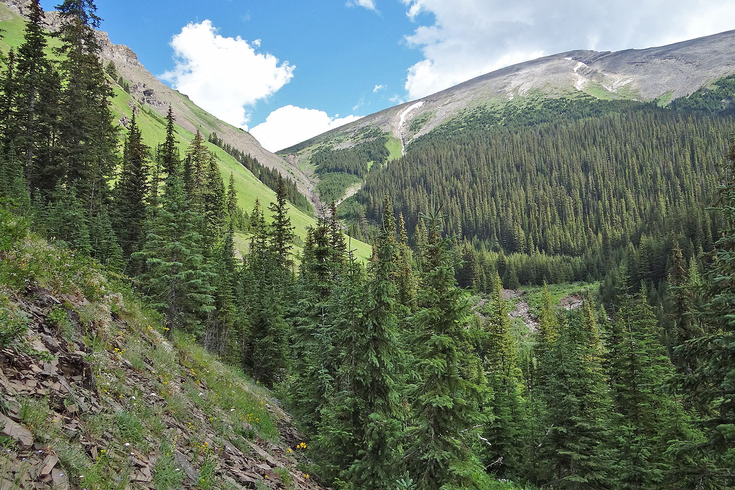
After bushwhacking up an overgrown road, the ascent gully and North Kent came into view
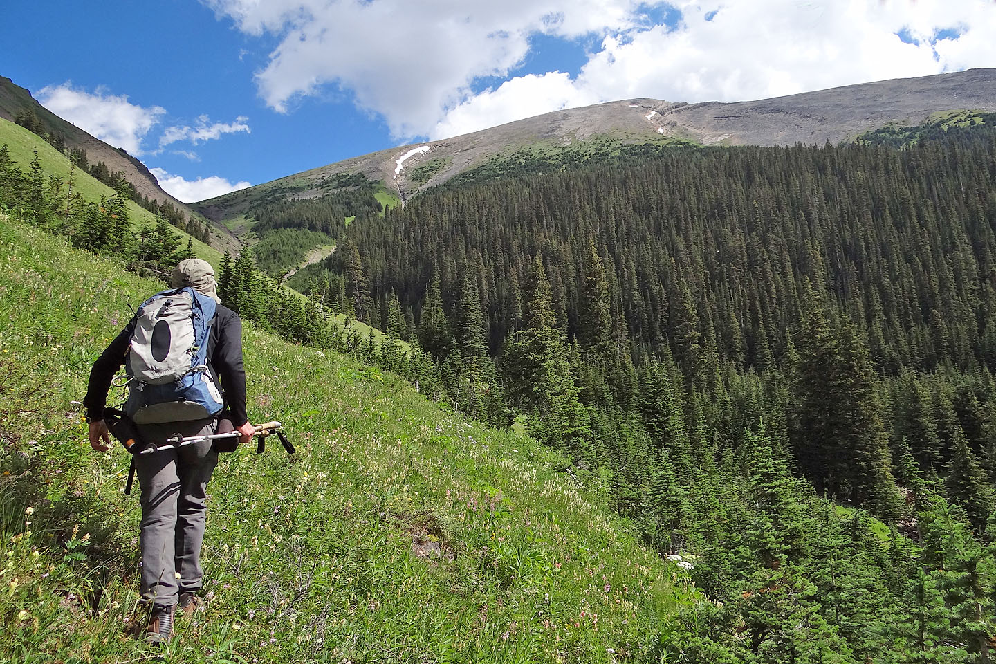
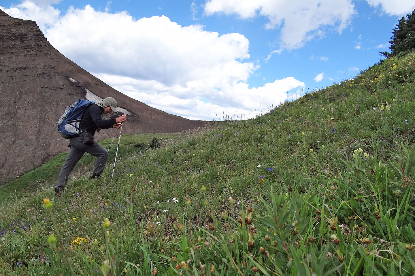
Traversing the meadow was easy at first, but soon I was wading waist-deep in plants
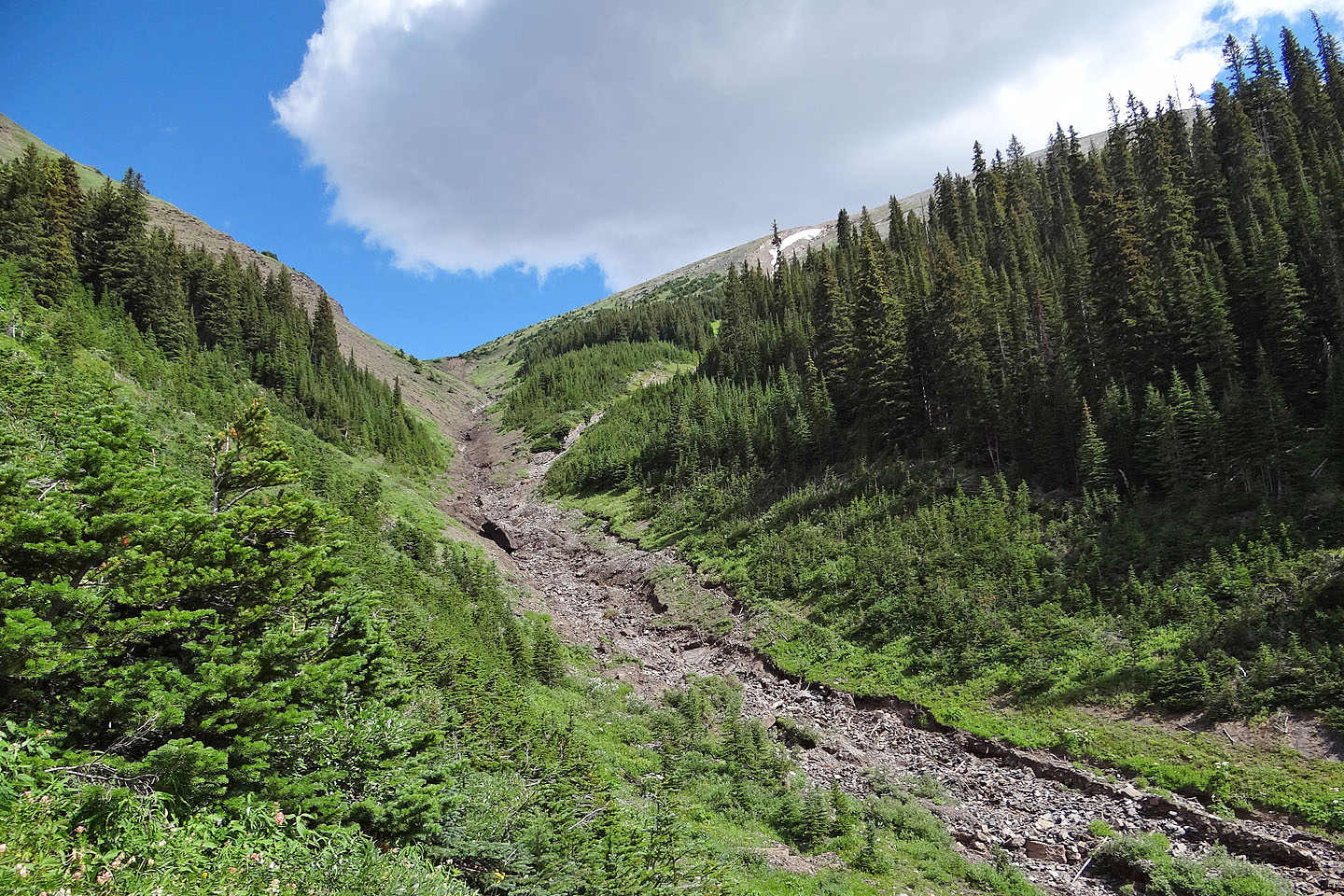
Coming to the gully
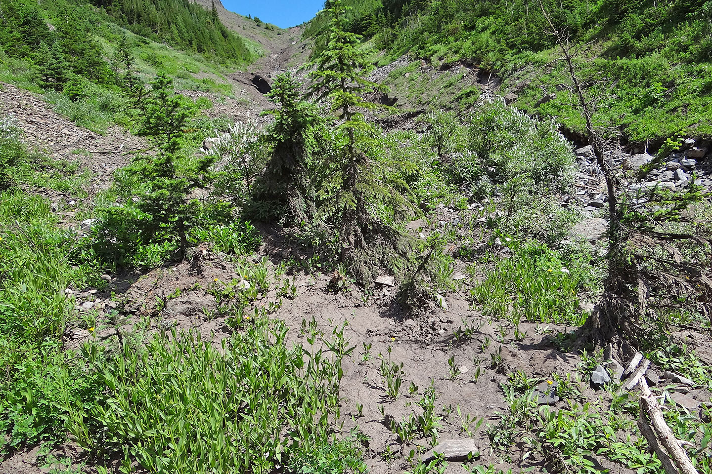
Evidence of recent flooding can be seen in the mud-covered trees and in the fissures on the right
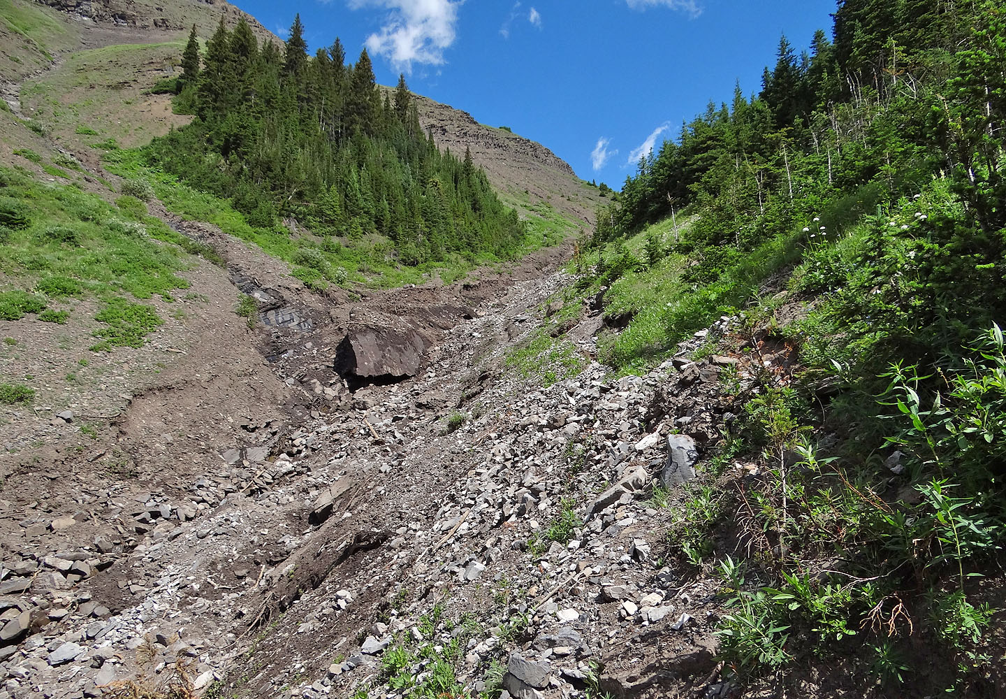
Keeping high above the gully on the right, I found travel generally easy.
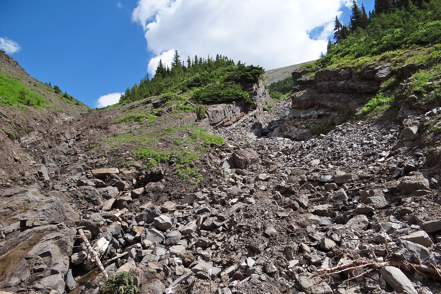
What appears to be a boulder in the gully was detritus-covered snow.
I was tempted to take the intriguing right fork (mouse over) but instead continued to the col
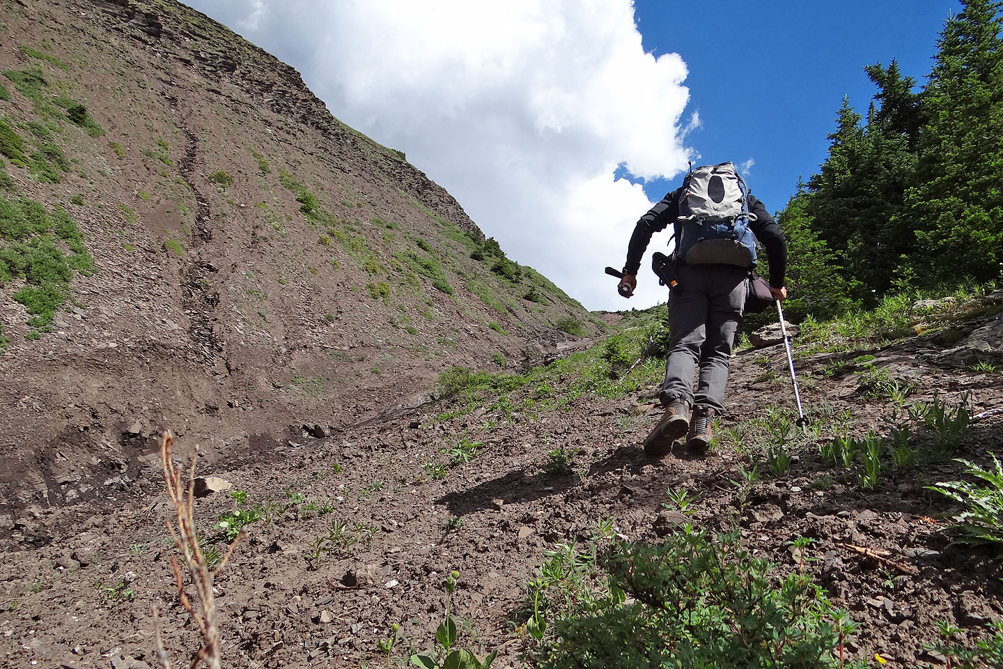
The col still appears well in the distance
Looking back
Well before the col, I swung right and headed to the summit
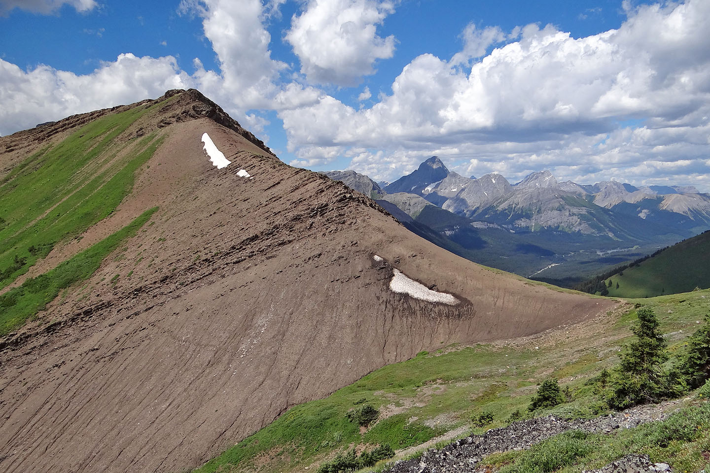
The outlier and the col
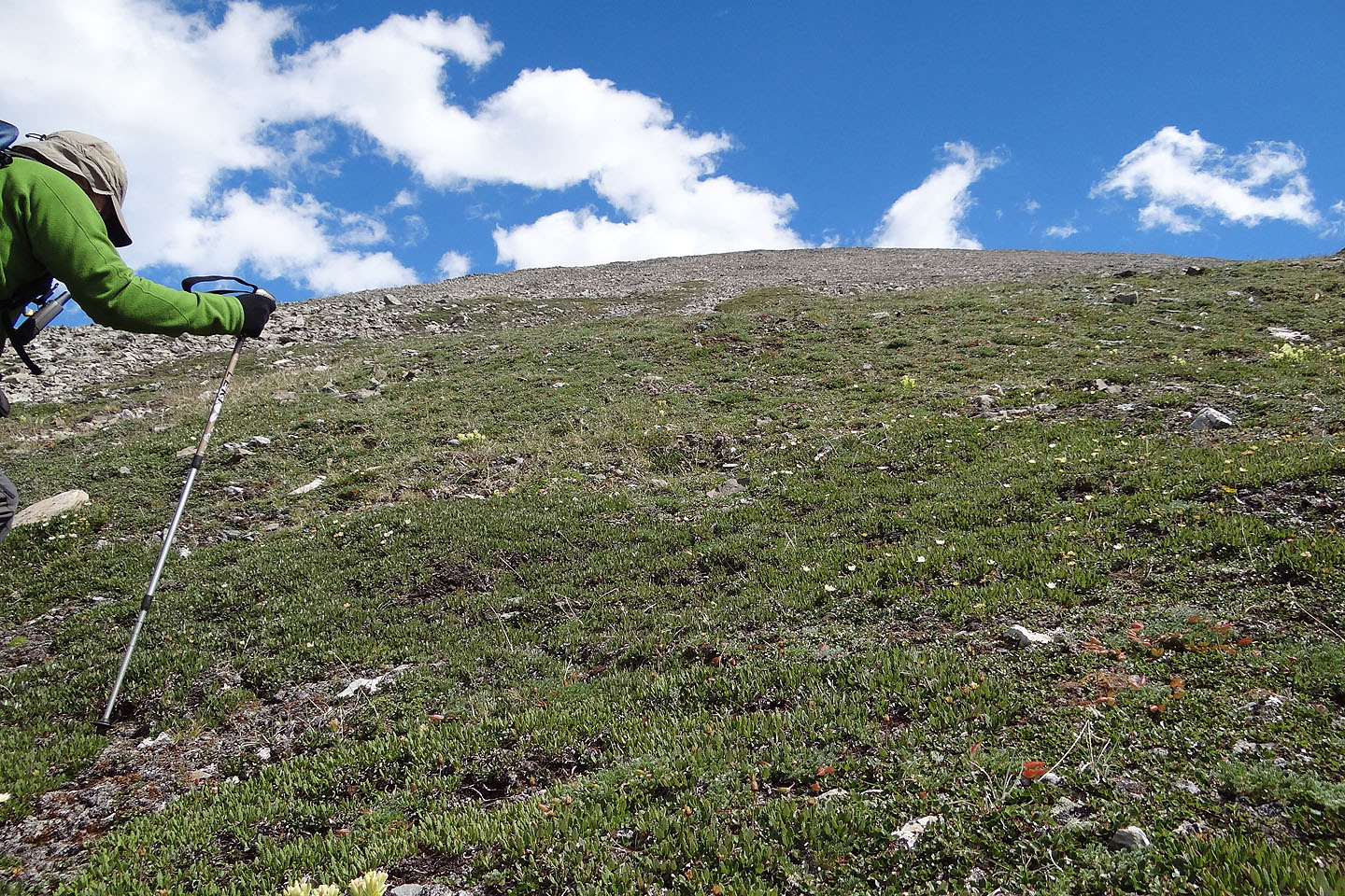
Soft dryas mats give way to rubble
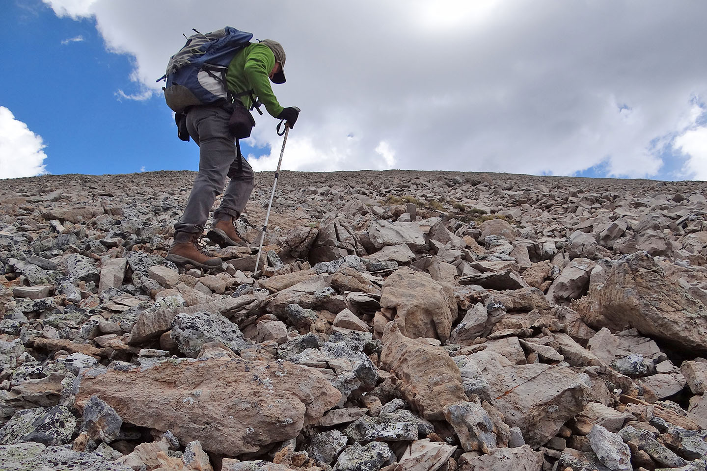
The summit is still about 200 m above me
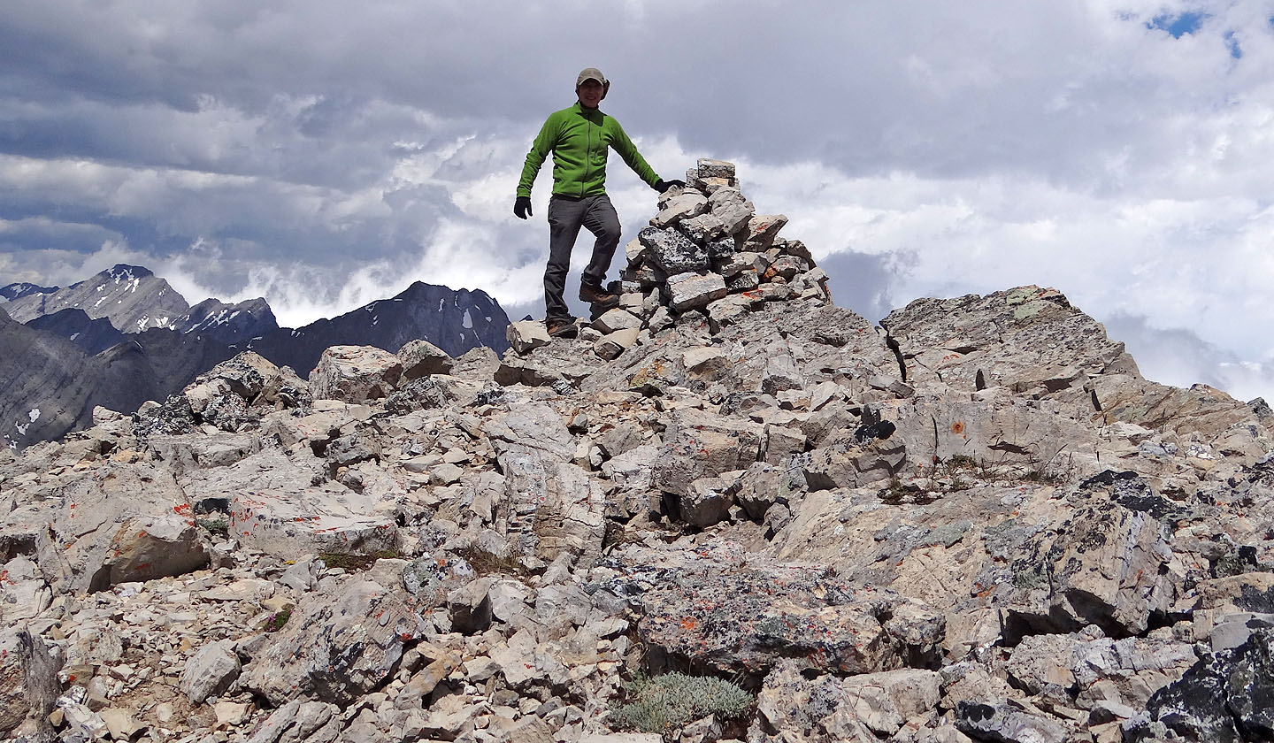
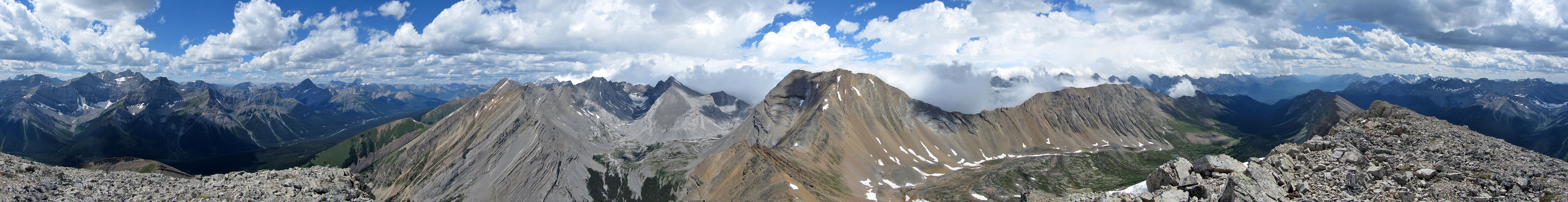
The summit
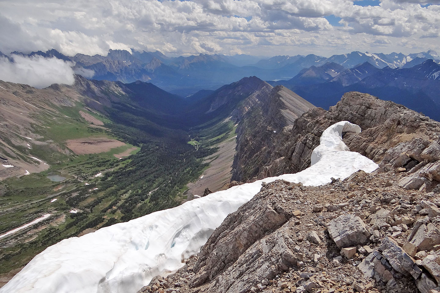
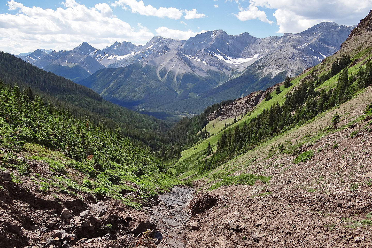
Kent Creek Valley
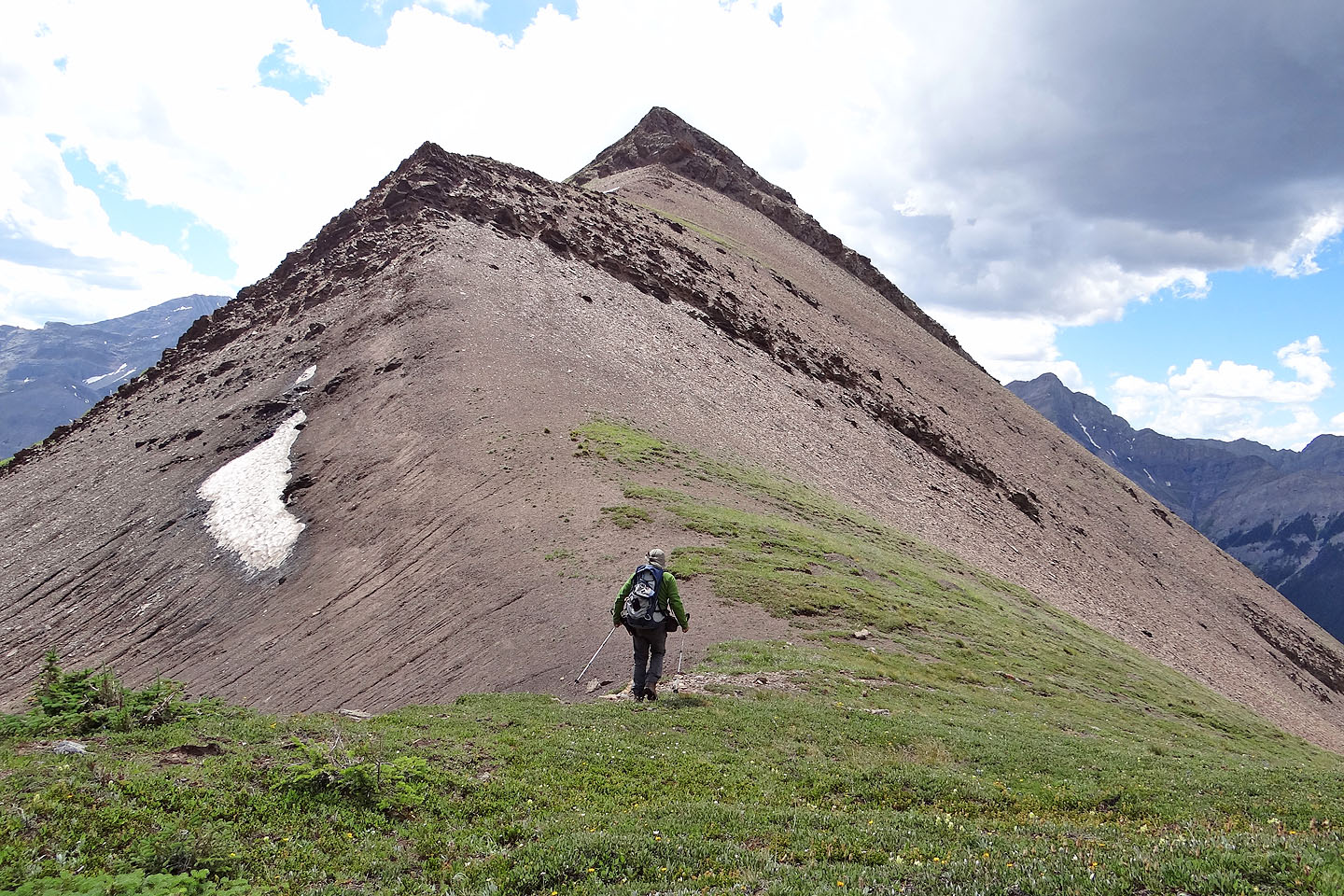
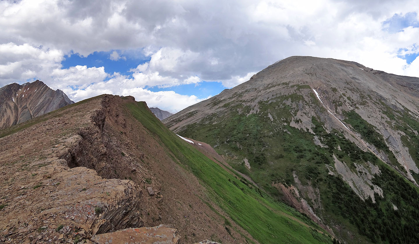
Heading to the outlier from the col
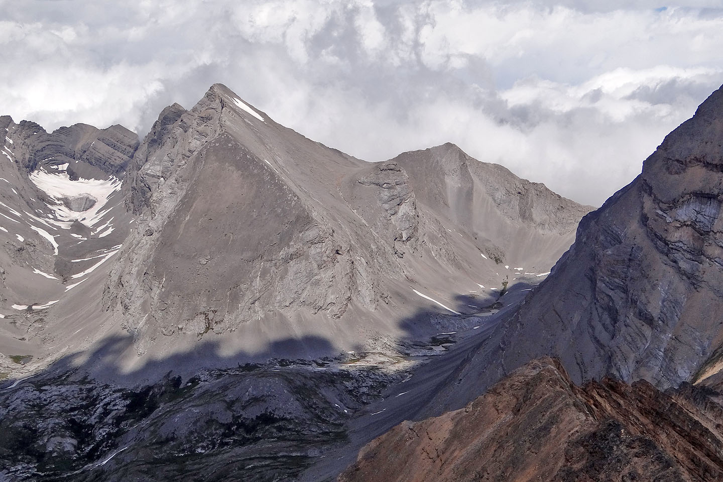
North Kent seen from the outlier
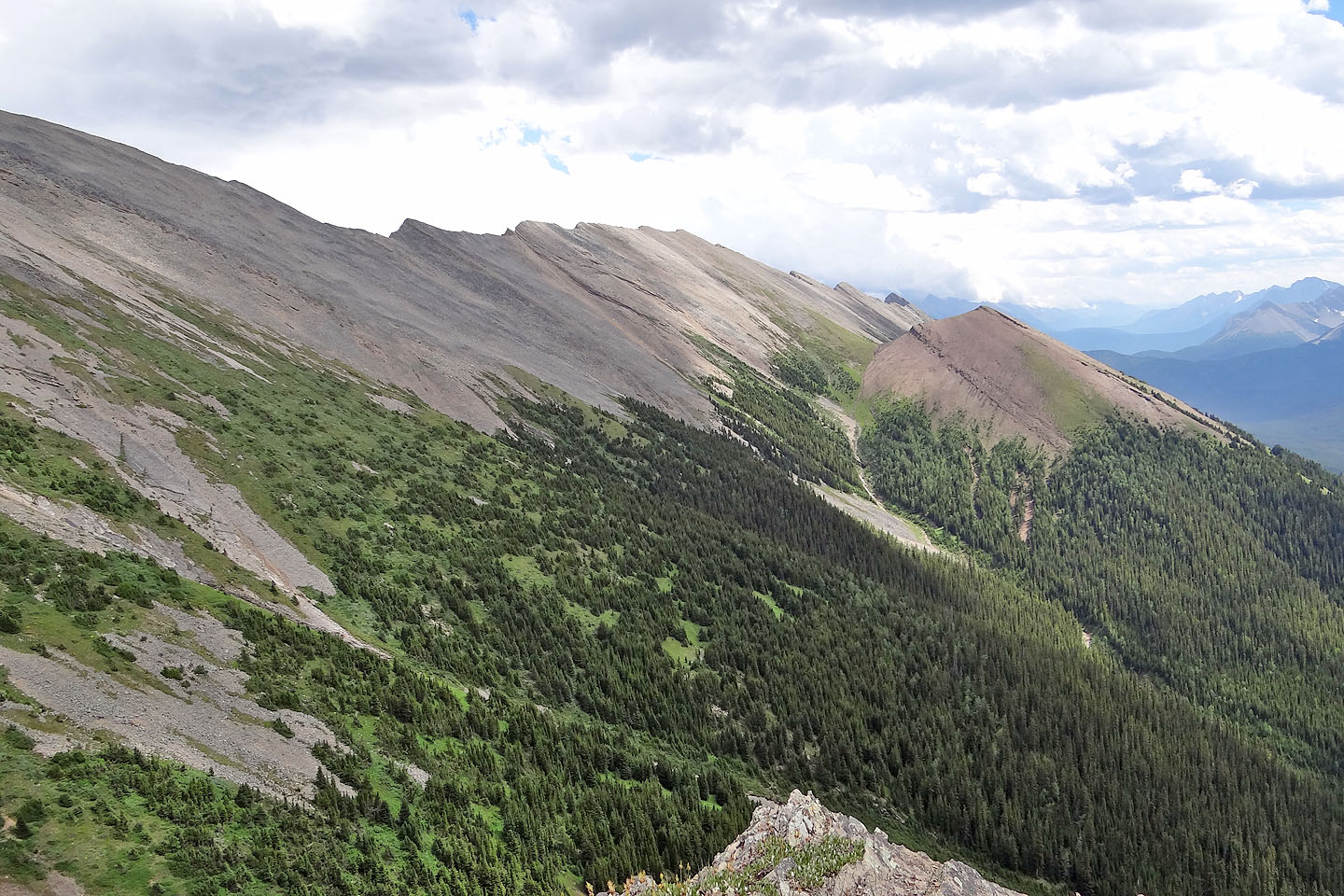
Looking along the length of Kent Ridge
Final look back at the outlier and North Kent
82 J/14 Spray Lakes Reservoir
