bobspirko.ca | Home | Canada Trips | US Trips | Hiking | Snowshoeing | MAP | About
Mount James Walker
Kananaskis, Alberta
July 13, 2019
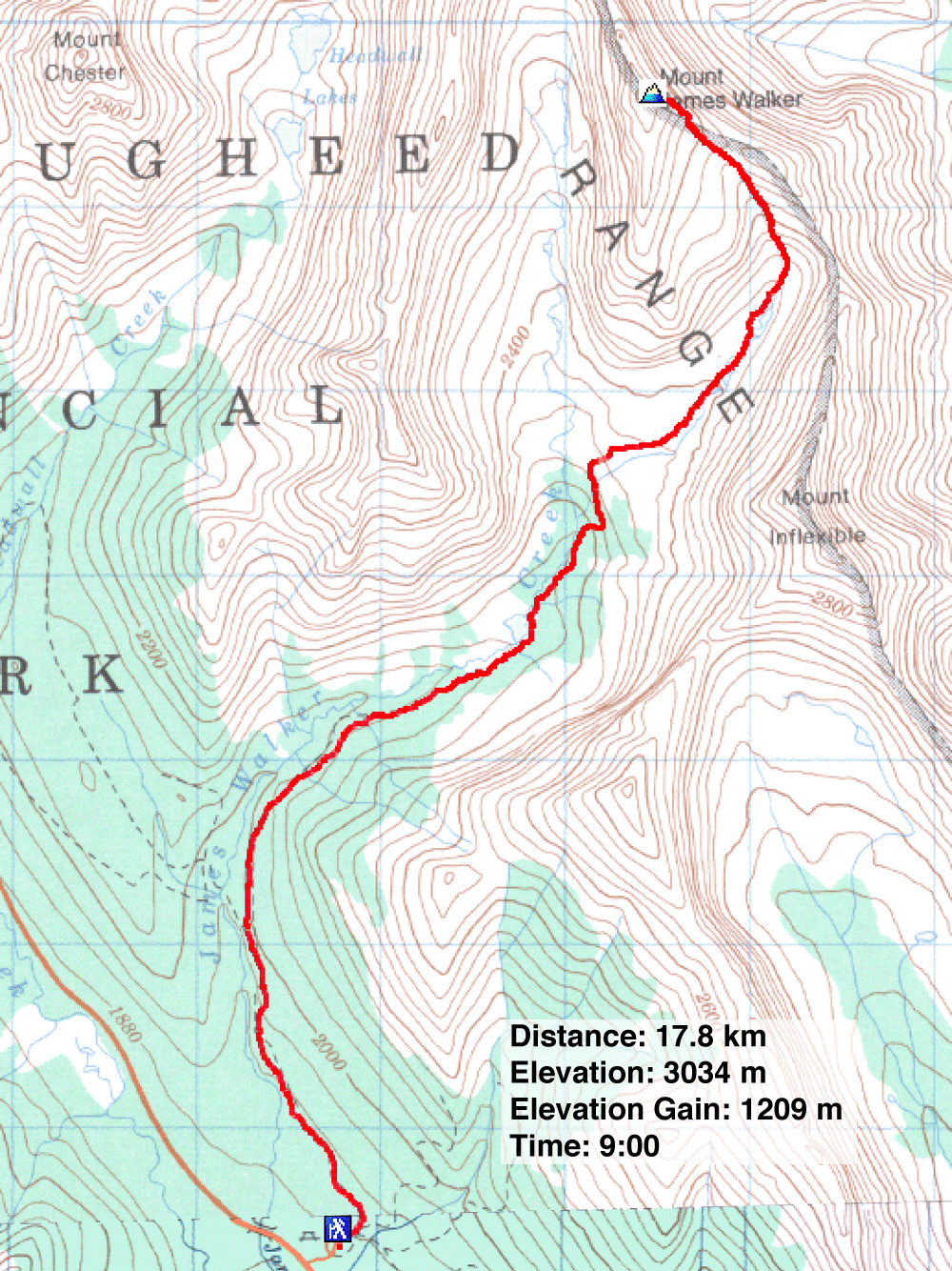
Distance: 17.8 km (11.1 mi)
Cumulative Elevation Gain: 1251 m (4104 ft)
When I heard Christine McNamara was doing Mount James Walker, I asked if I could join her. I had my eye on this peak for a while. Although the ascent has its drawbacks – a long approach and a scree slog to the summit – the journey by a mountain lake, past waterfalls and through a tarn-filled cirque more than makes up for its detractions. And I would be in good company with the Ramblers, as a guest, with Christine coordinating the trip.
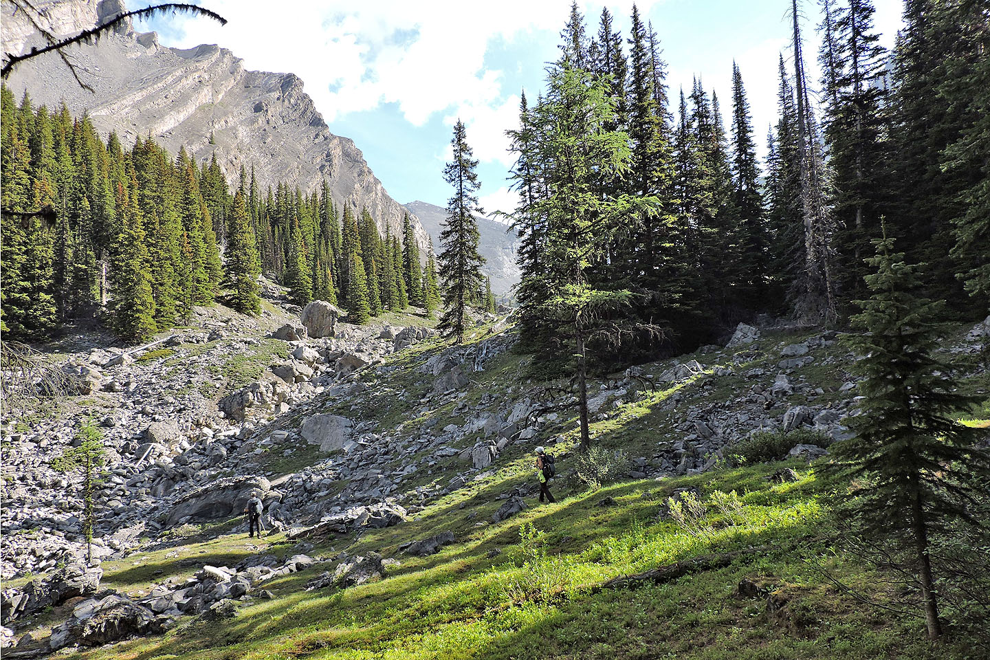
Starting at Sawmill day-use area, our group of nine took the trail to the lake that feeds James Walker Creek. The hike up the trail, broad at first, gave everyone a chance to get to know the others. This was a great team, working together to find a way up the mountain safely.
When we reached the lake, no one could resist taking photos of the still waters reflecting Mount James Walker. There was no trail, so we followed the right edge to the far end of the lake. There we picked up another trail. Actually, there are two trail starts, but they soon merge. Look for the left one, which is dry, unlike the right which runs up a stream. After that, the path soon diverges: take the left fork.
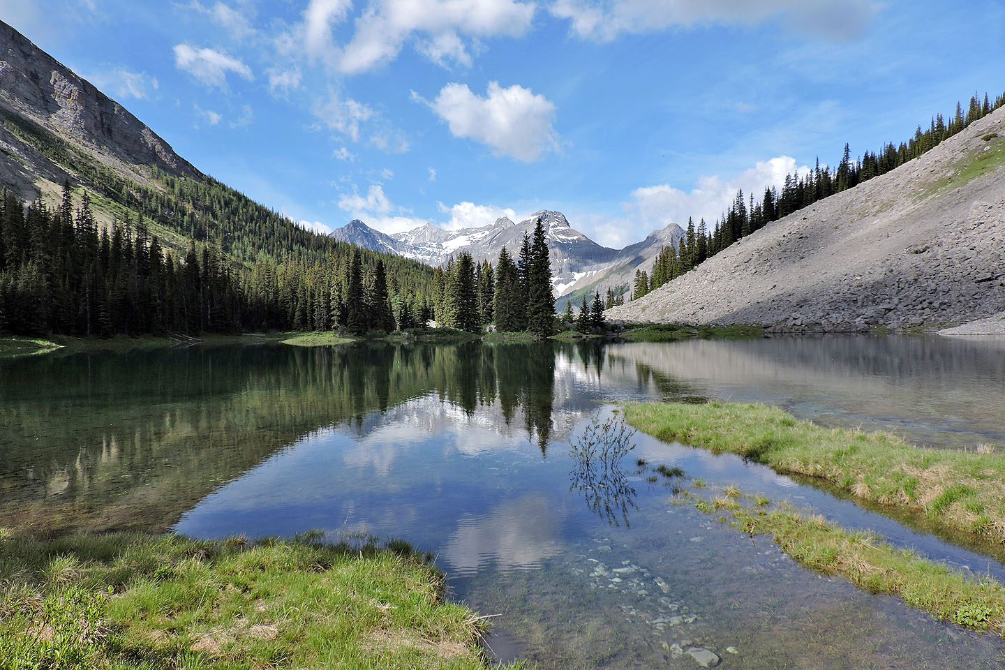
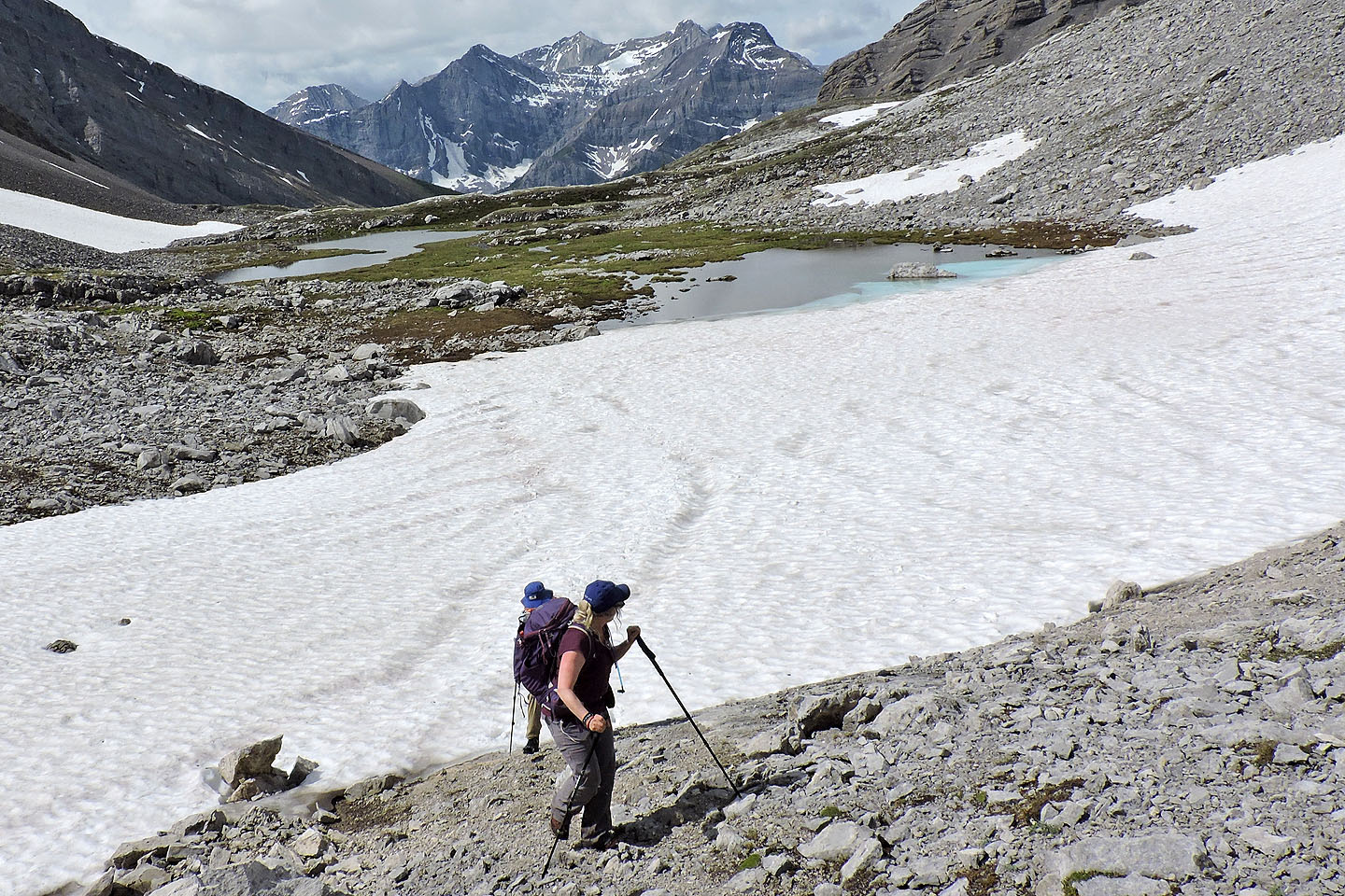
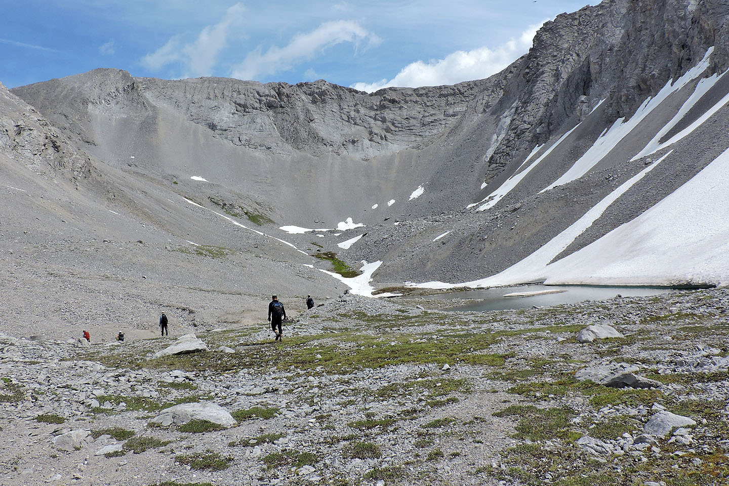
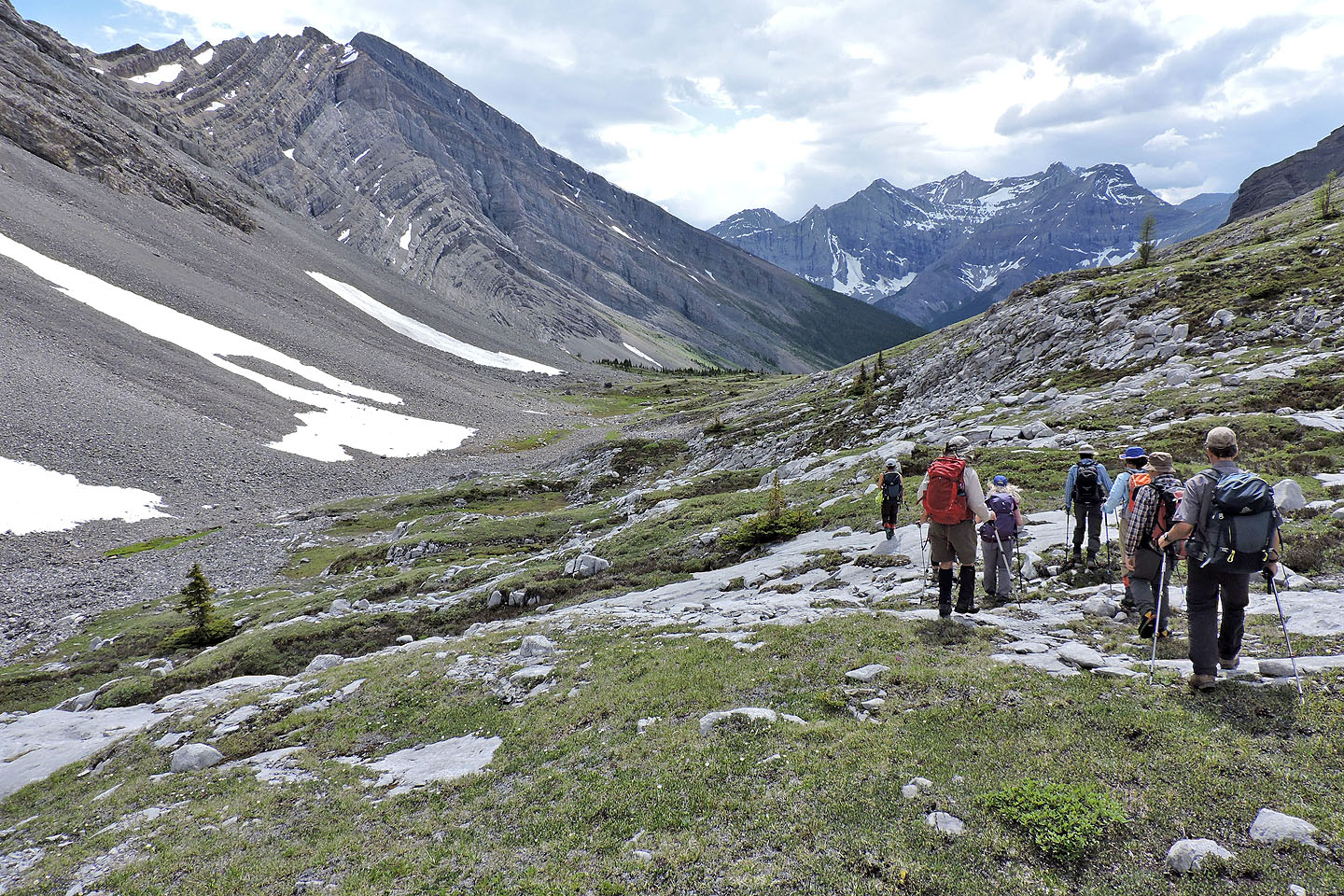
The trail runs by a few waterfalls before suddenly emerging from the confines of the forest onto a sweeping panorama that includes a cirque on the left. On our right, a rise hid the cirque we wanted. We climbed over the rise, and on the other side stretched a pleasing alpine valley. We passed dark blue tarns, climbed pale rocks and crossed snow patches.
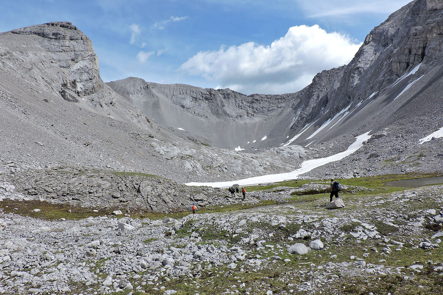
We headed to the scree gully at the end of the cirque. We kept left and tried taking a more direct route but that didn't work well, just added unnecessary scree slogging. Instead, hike to a moss-lined spring at the end of the cirque. A cairn marks the start of a trail that climbs to the col between Mount James Walker and Mount Inflexible.
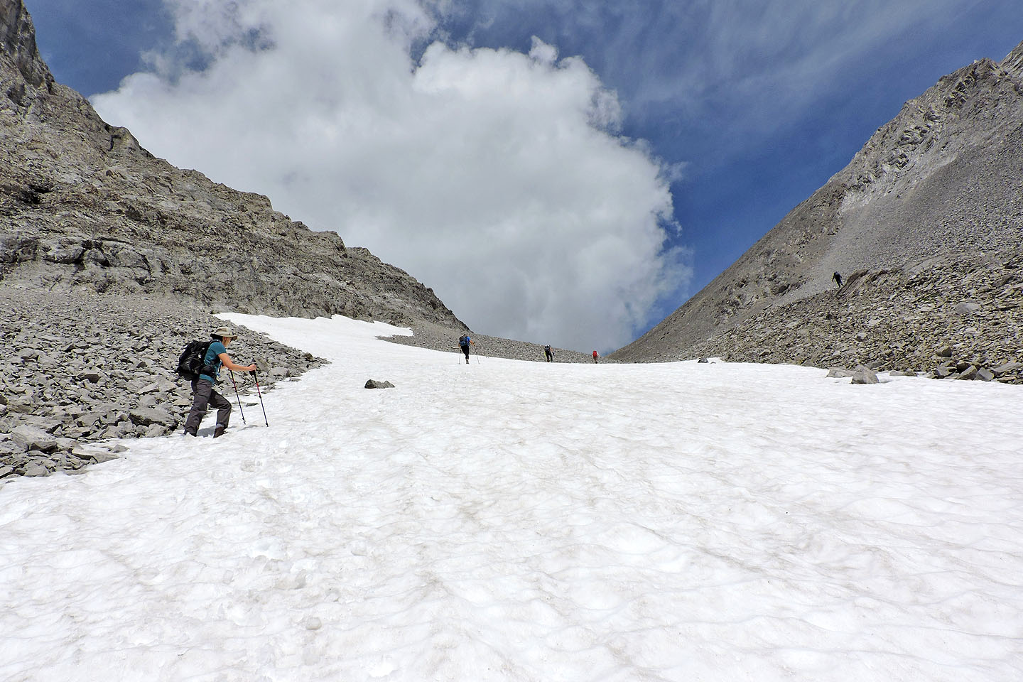
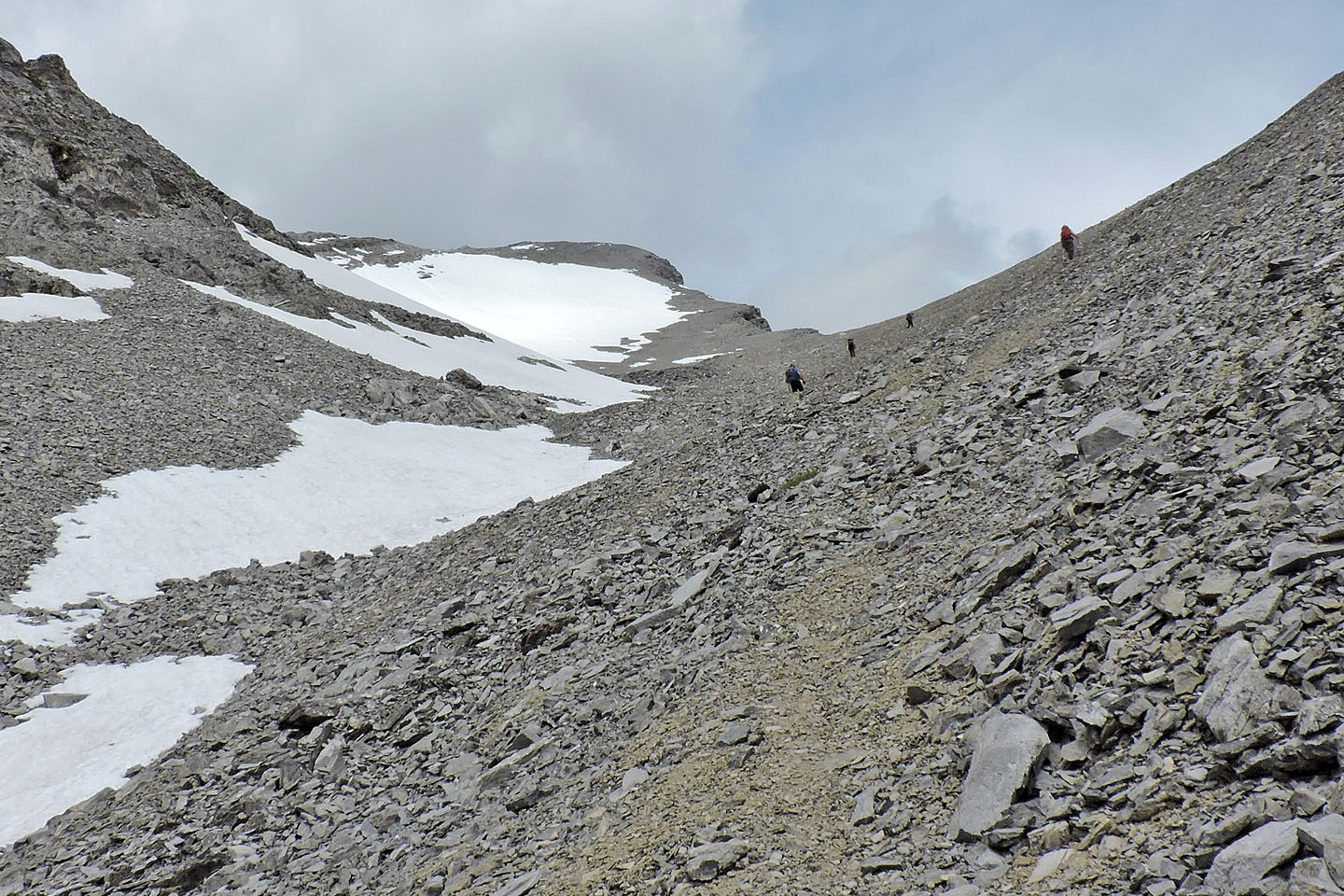
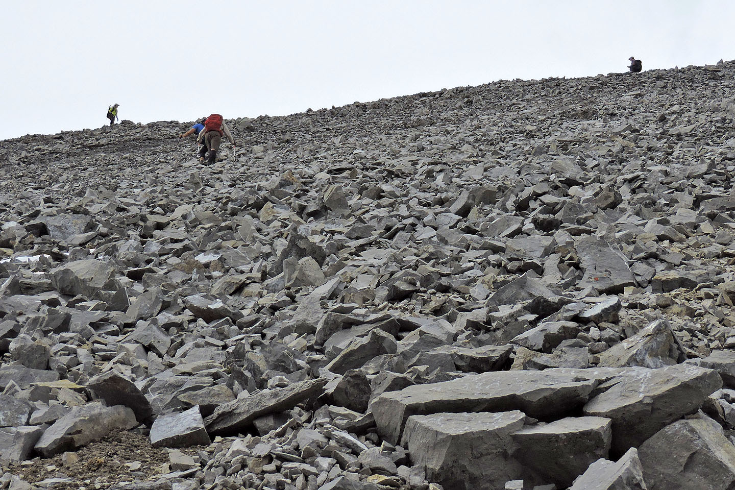
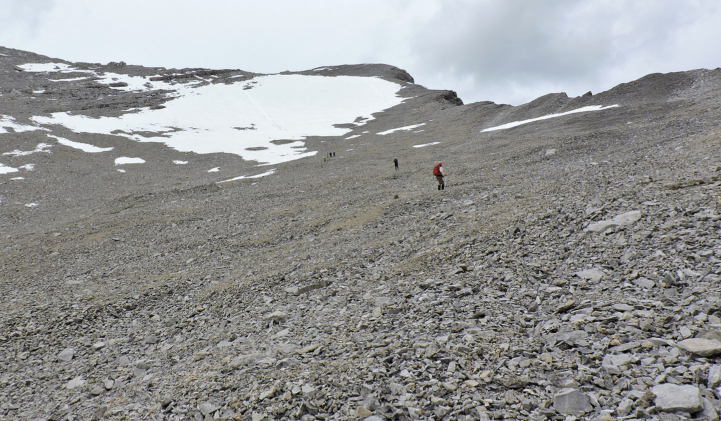
The scree trail to the col works surprisingly well: stable for the ascent, yet yielding for a quick descent. There's no trail above the col so we grovelled up scree. As we climbed, the grade grew steeper, the rocks looser. The final 100 m of elevation offered unstable footing that tested our patience. (There is a trail in the scree, but it's best used for descending.) Worrisome was the possibility of rock falling on someone below and we wondered if we should have brought helmets. But I didn't witness any rock fall more than a couple of feet, and everyone took care not to dislodge rocks.
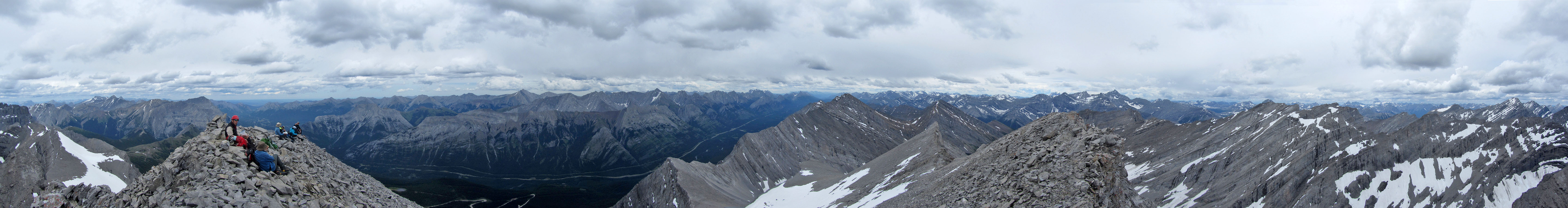
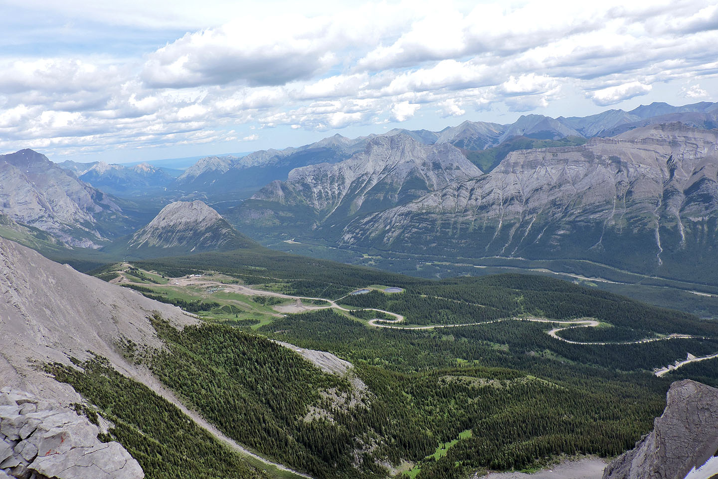
We all reached the summit to enjoy the views from this 3,000-metre peak. Clouds notwithstanding, we appreciated far-ranging views of surrounding peaks. Bill rhymed them off as fast as they were pointed out.
On the descent, we ironed out the route depicted on the map. After we passed the lake, we encountered light rain, but it only dampened our clothes, not our spirits. Everyone appeared happy with this trip.
I want to thank Christine for including me. I had a great time hiking with the Ramblers. A few of my friends belong to the club and I can see why!
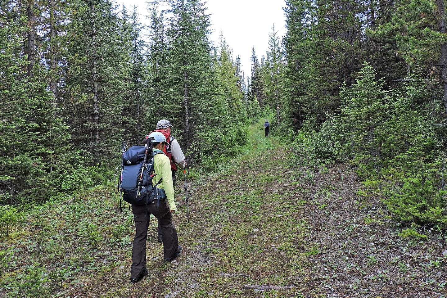
Starting up the trail
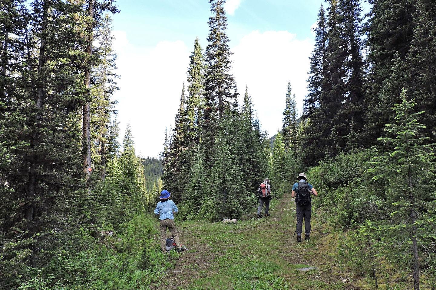
After hiking 1.5 km, we took the right fork
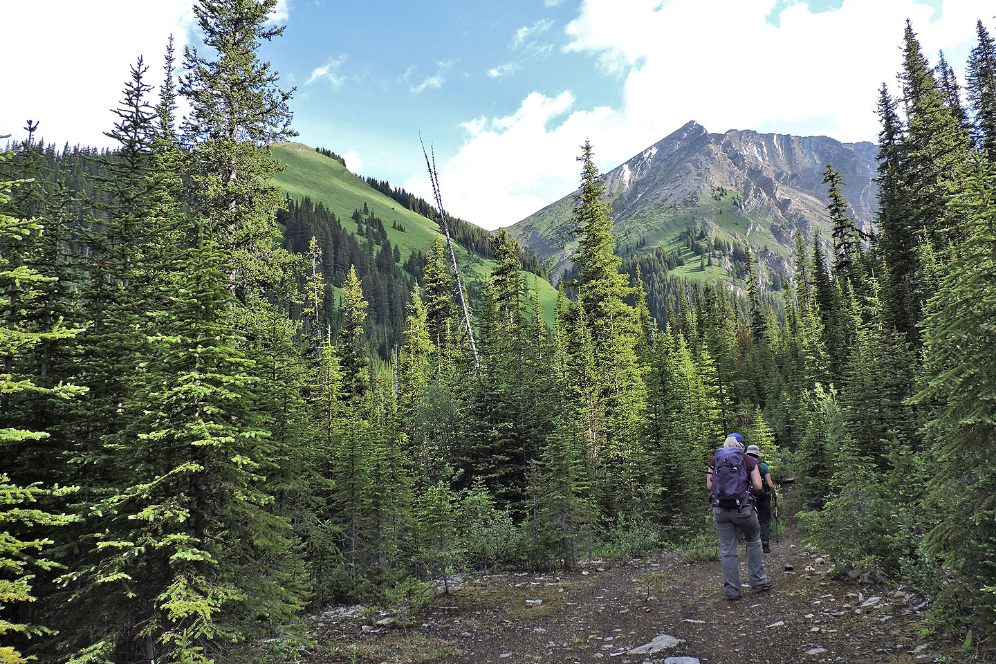
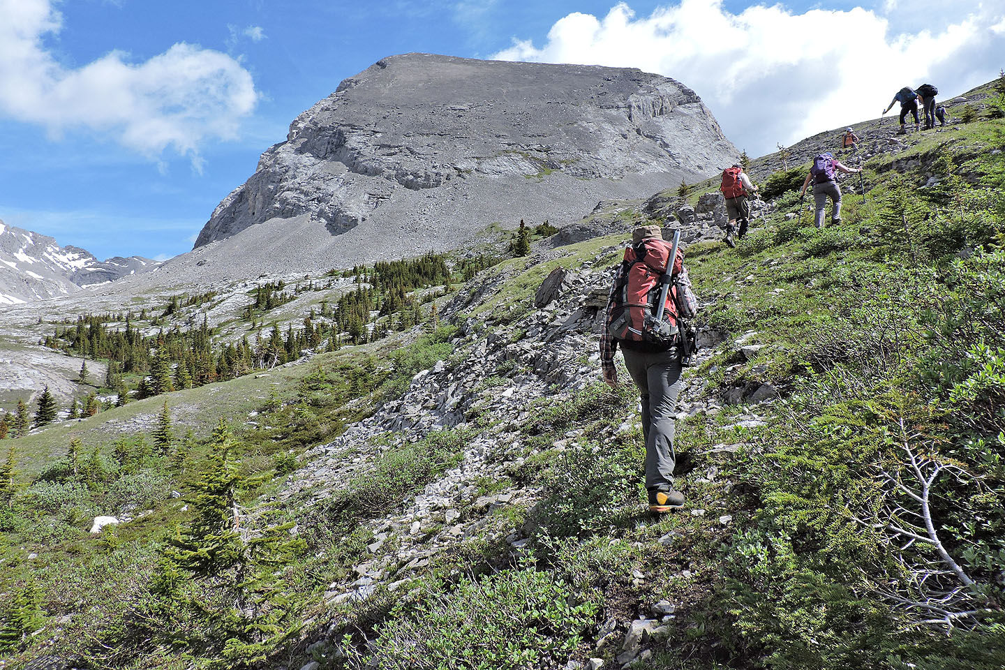
Southwest ridge of James Walker comes into view
The lake is just beyond this point
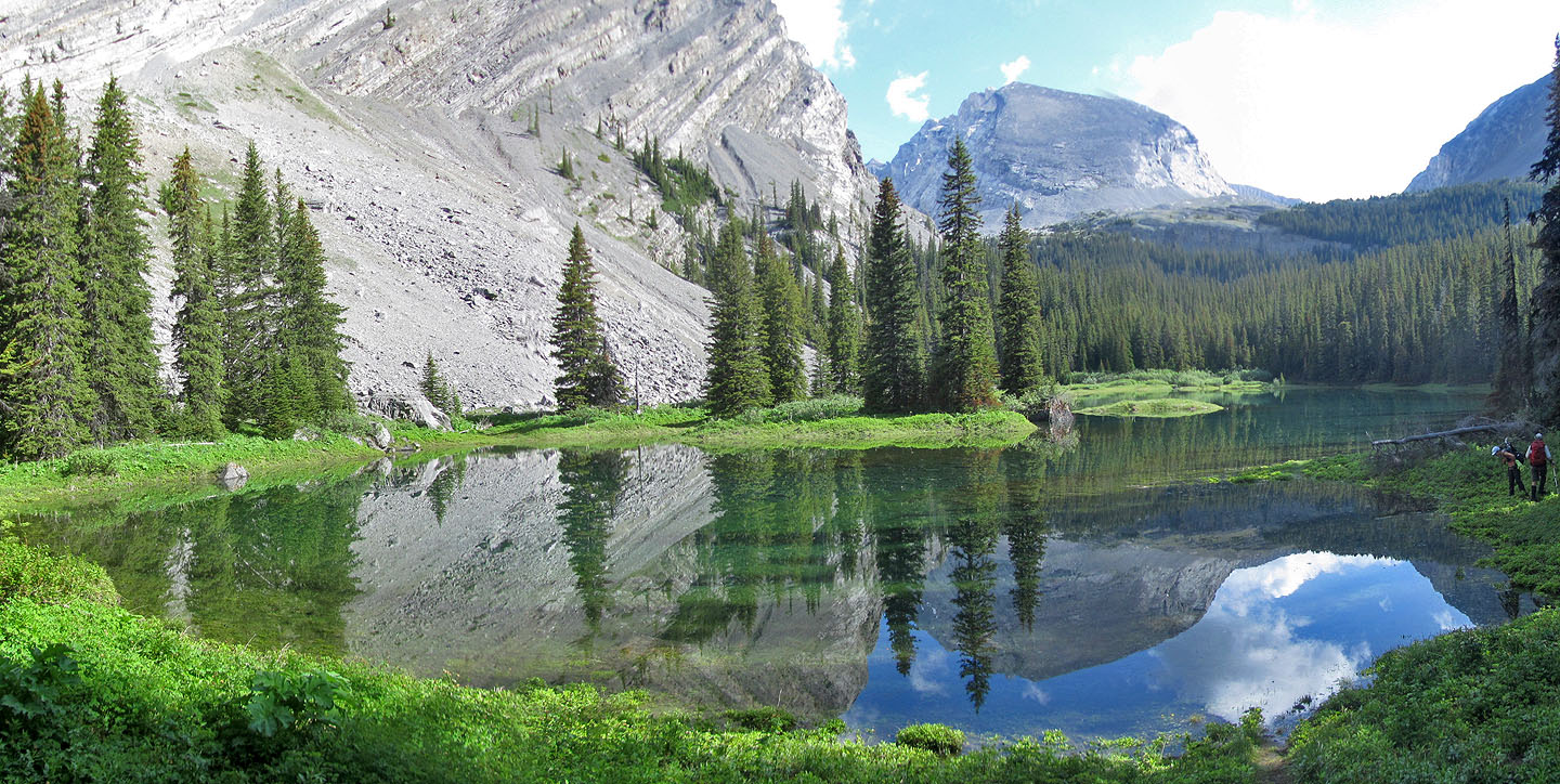
Mount James Walker sits in the background but the lake held our attention
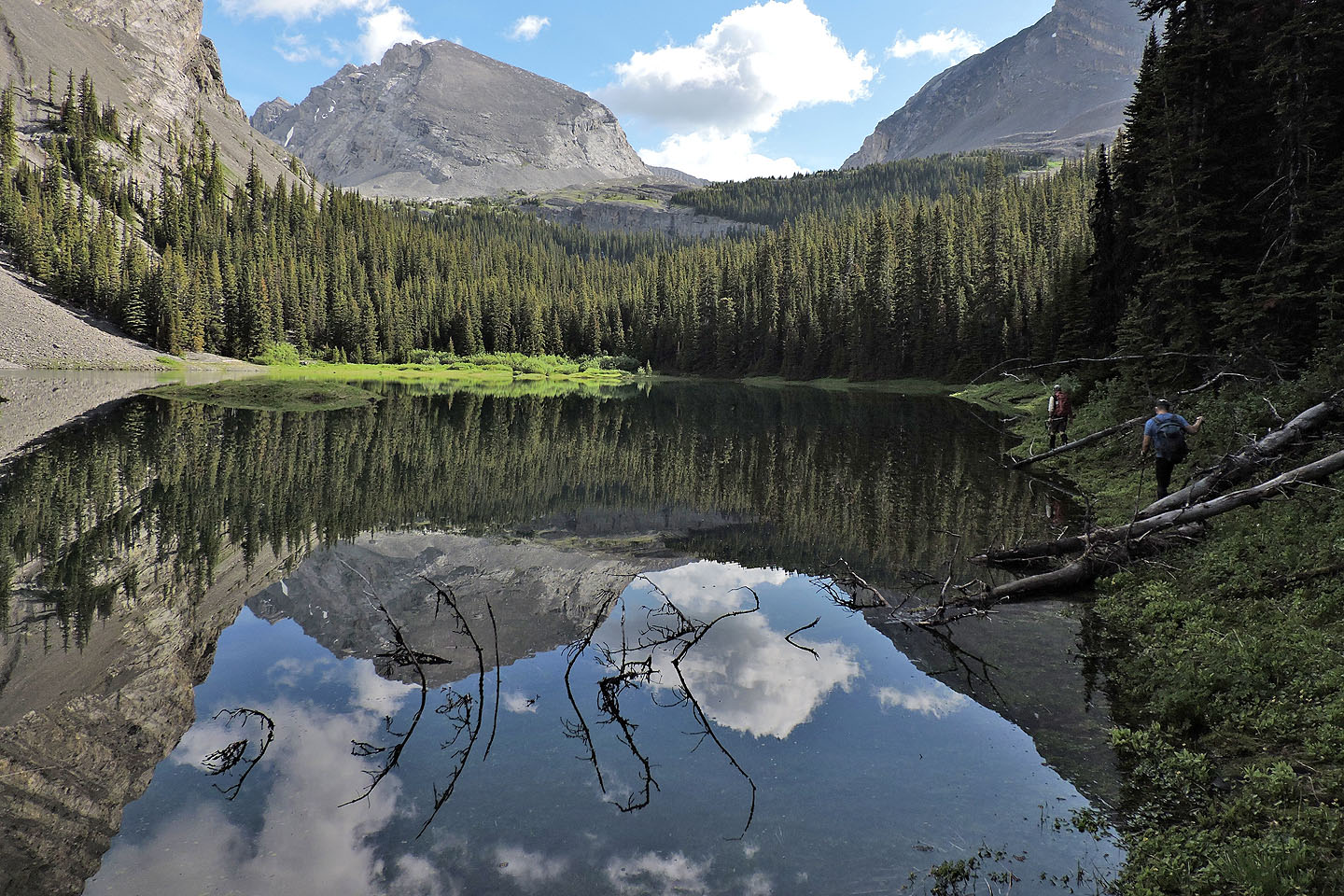 We followed the shoreline to the far end of the lake
Looking back across the lake
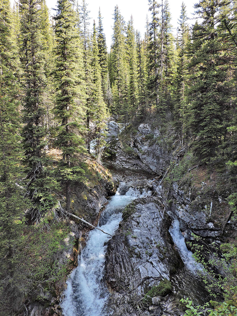
First waterfall
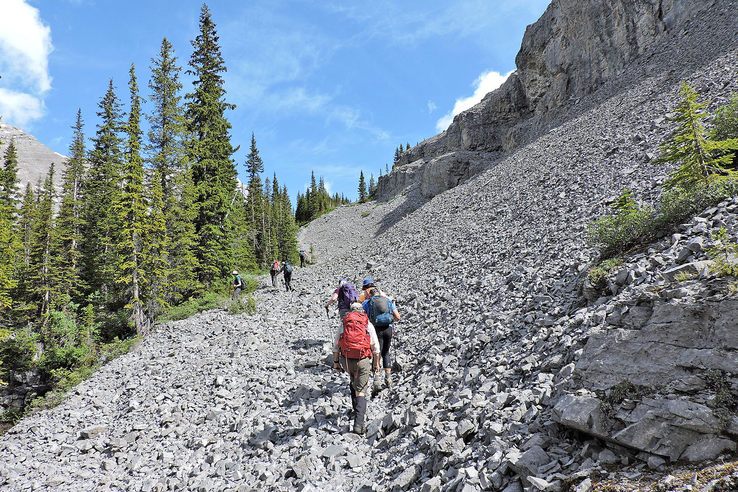
The trail emerges from the trees and follows a scree slope
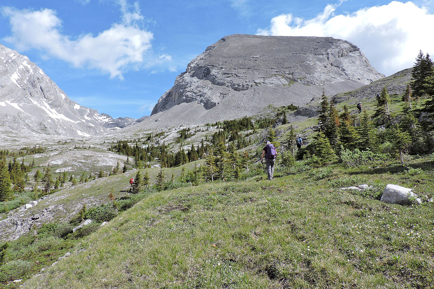
The views suddenly open up with two cirques extending either side of James Walker
On the way in, we hiked over the rise
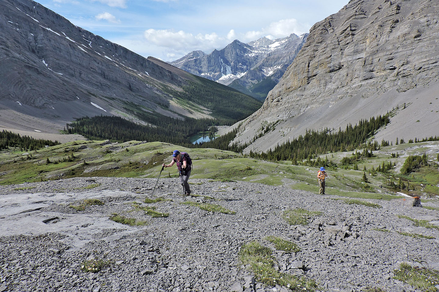
Looking back
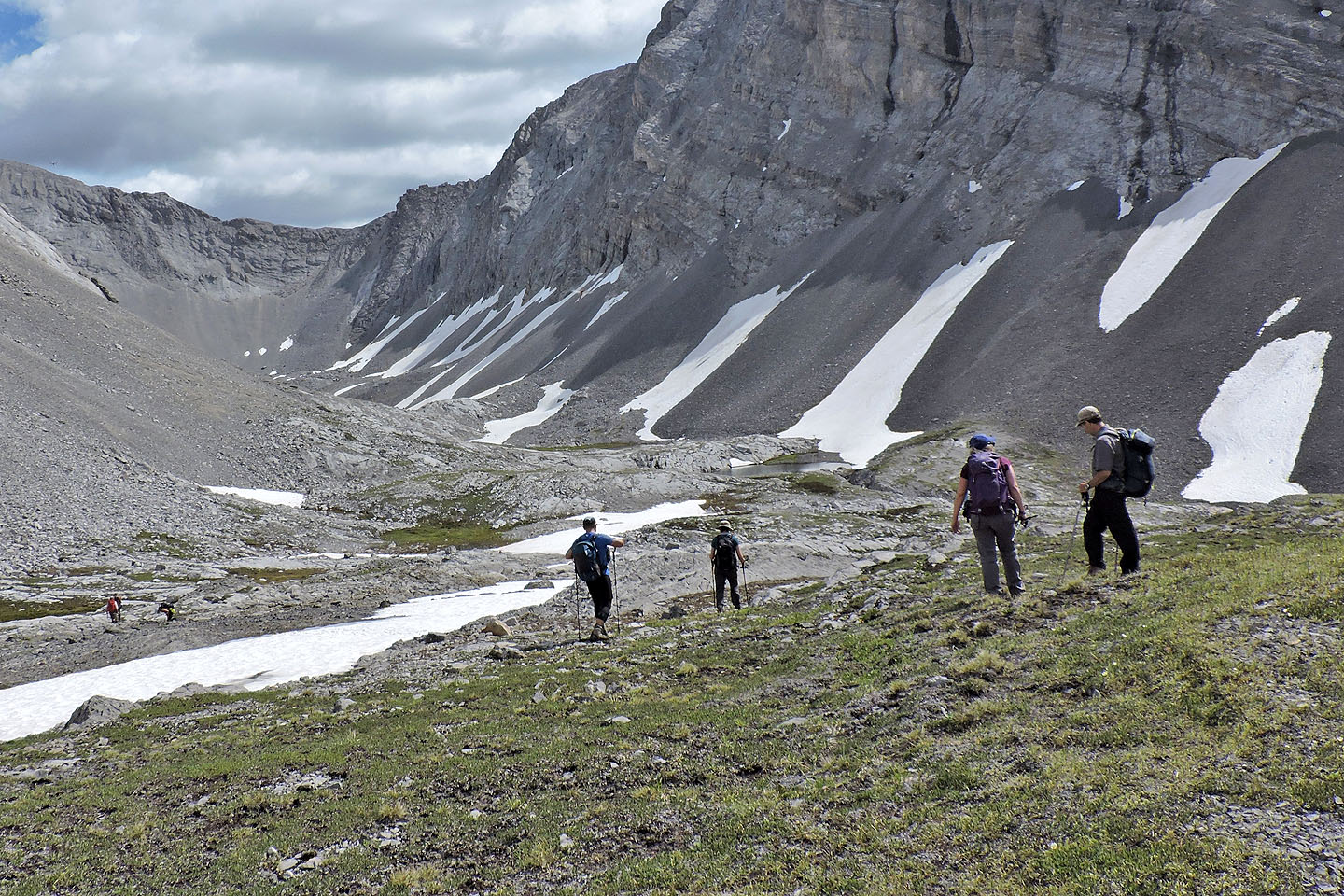
From the rise, we headed to the first tarn
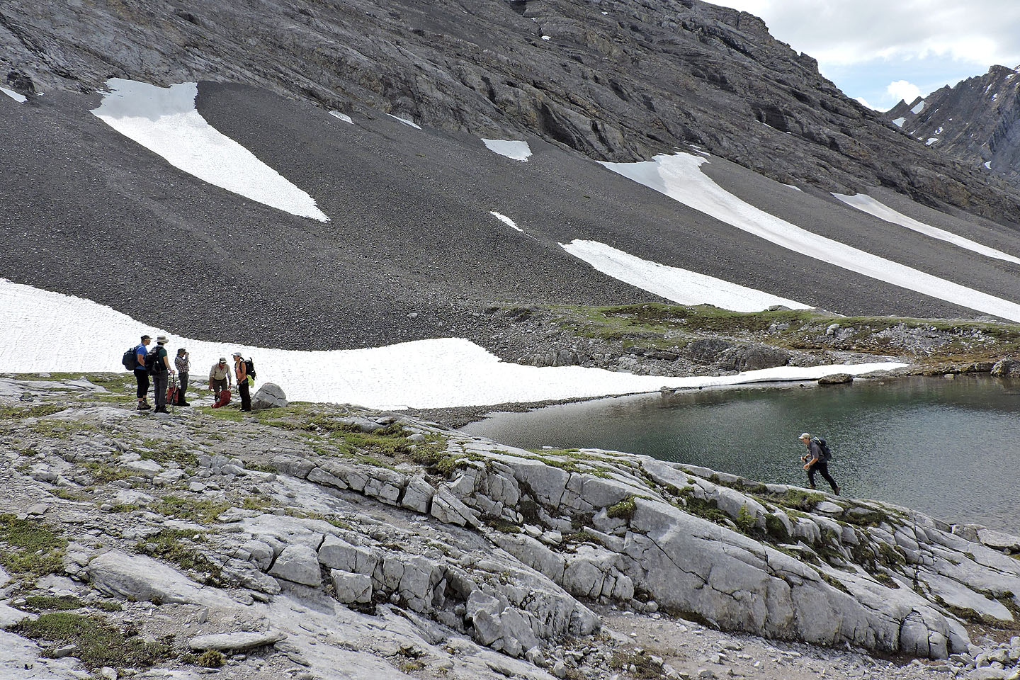
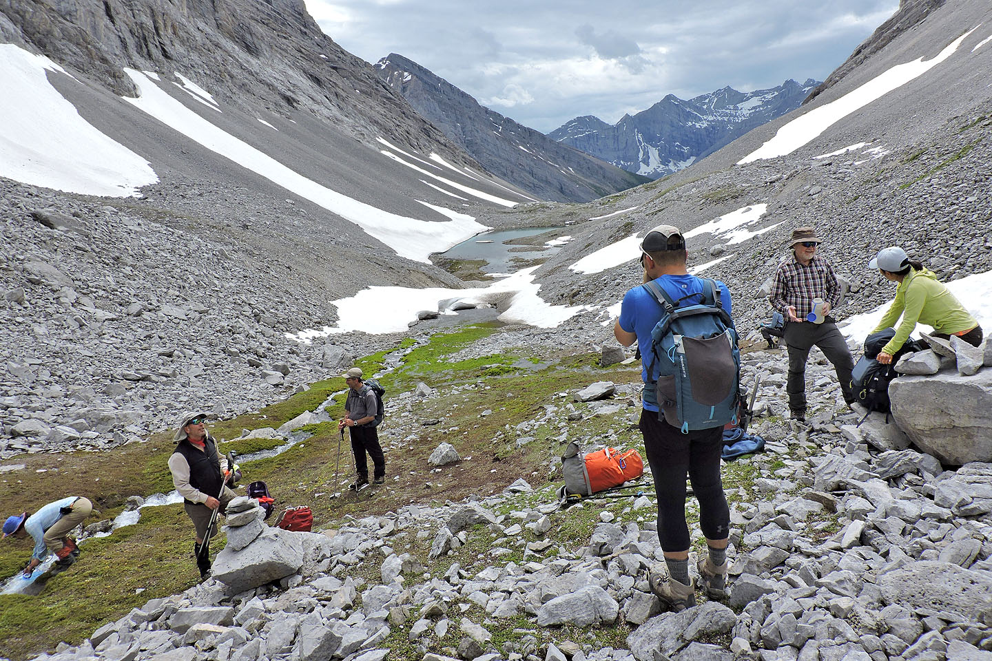
We stopped by the tarn for lunch
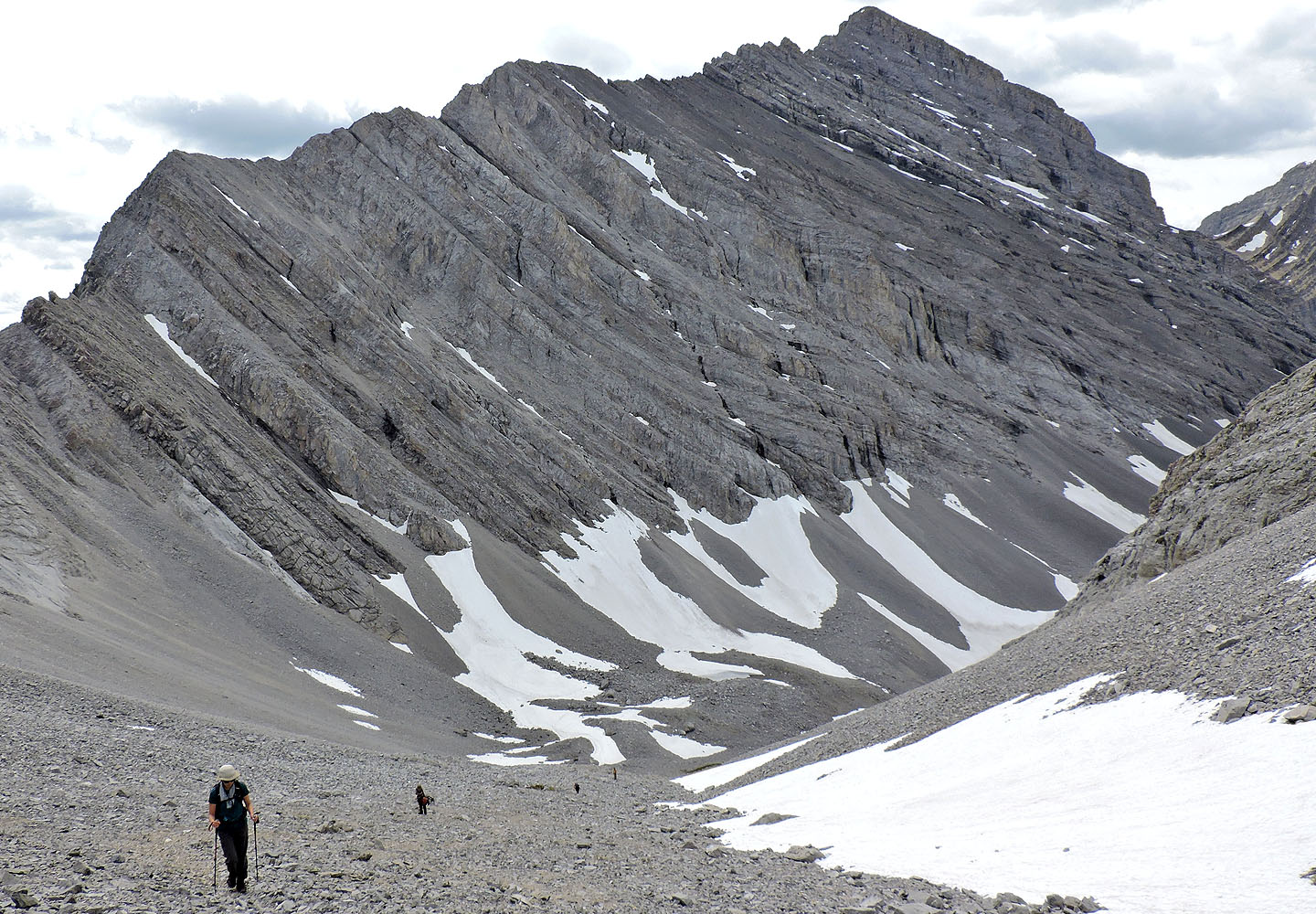
Afterwards we continued up the cirque
 Christine looks back at the blue ice
To reach the southwest gully, head to the verdant patch in the centre and look for a trail just above it
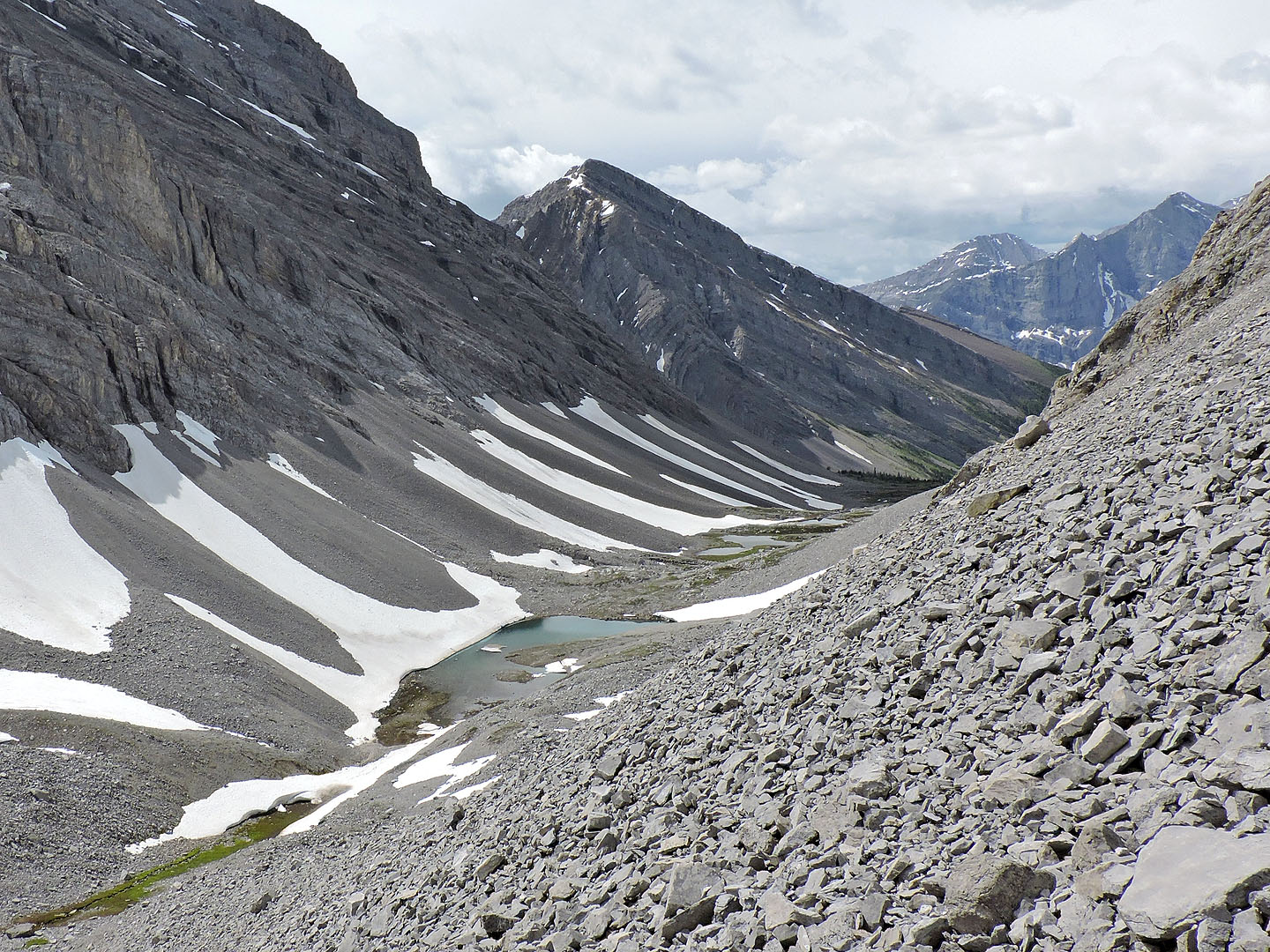
Looking back at the tarns
The trail runs up the right side, but most preferred using the snow patch
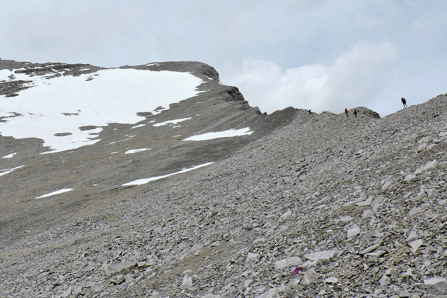
The summit appears ahead
Mount Inflexible is behind us
Starting up the summit from the col
Looking over the col
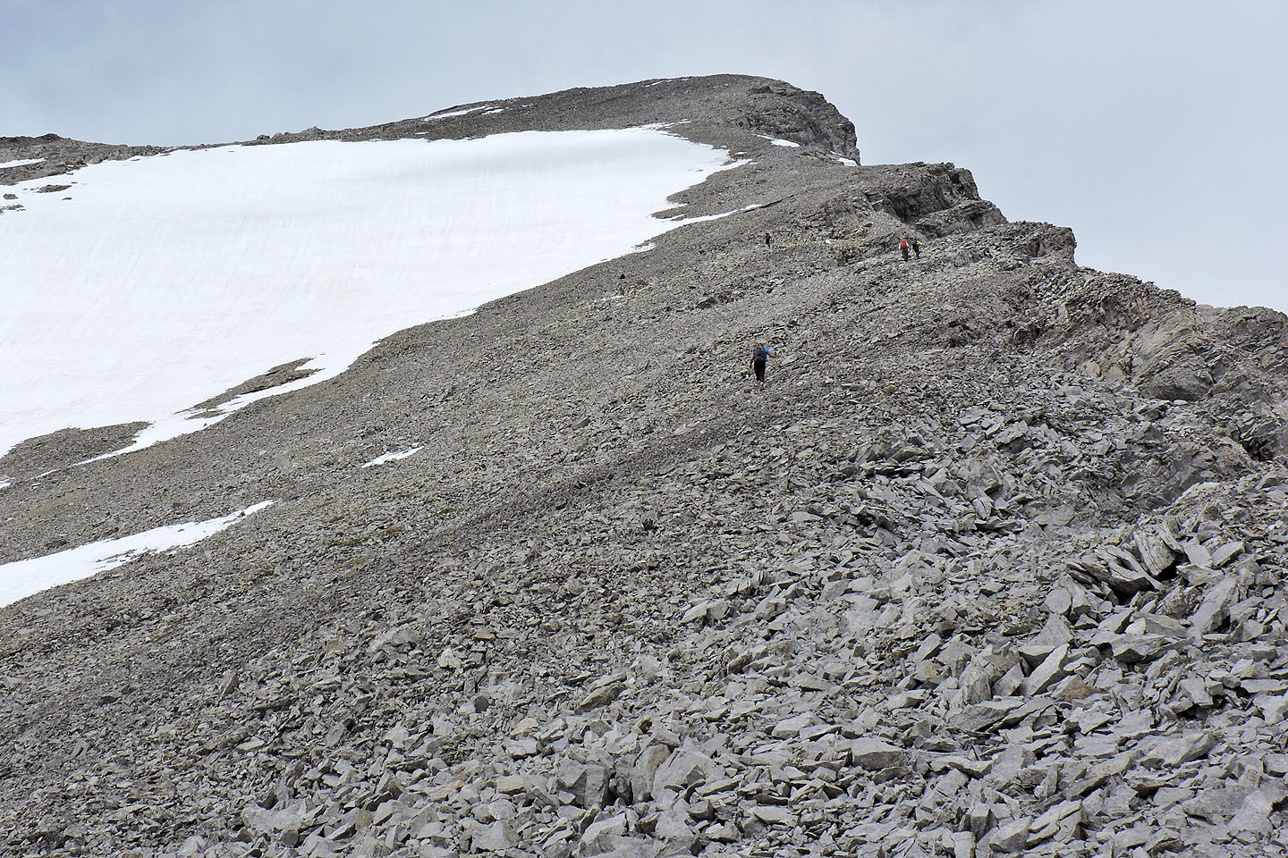
The long plod to the summit
 The last section is particularly steep. Brian (right) waits on top.
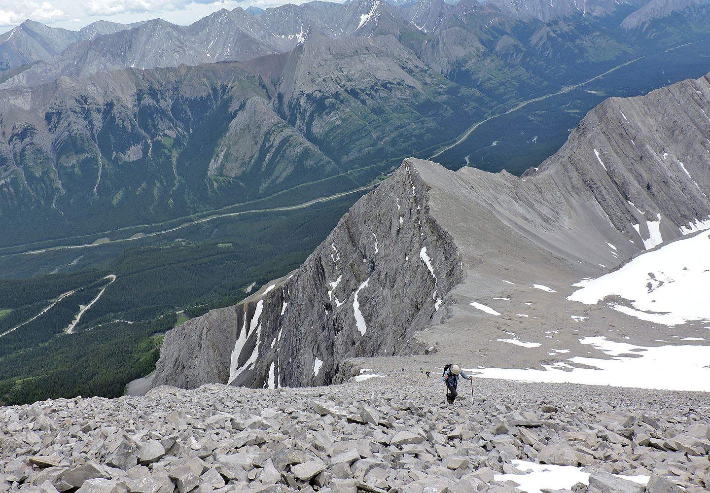
Looking back at the col
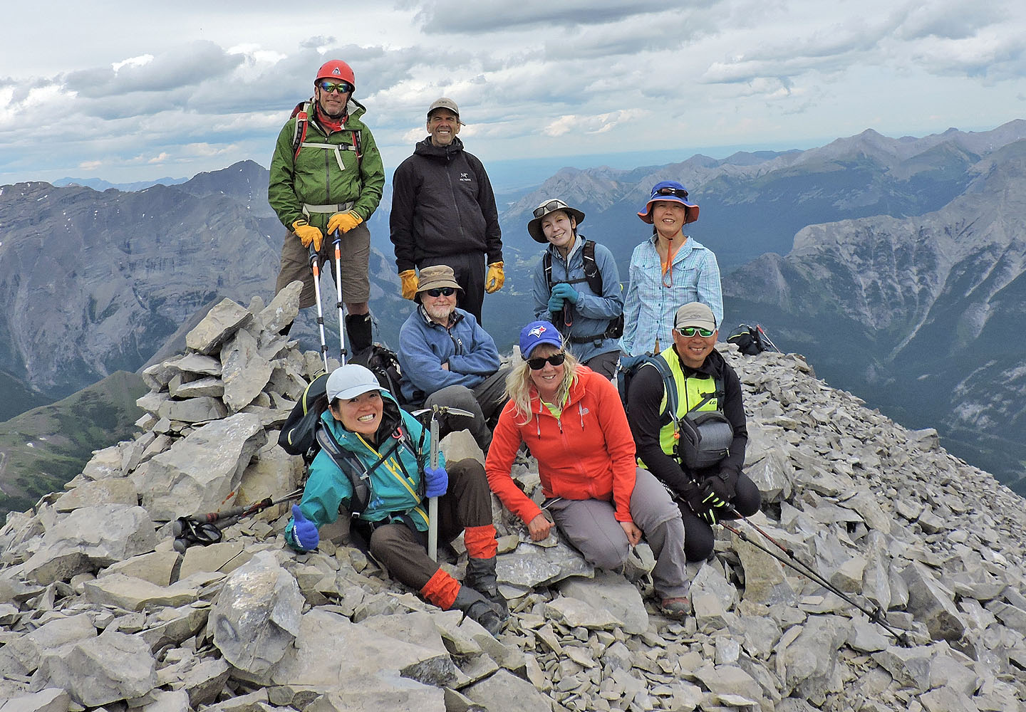
Sitting: Naomi, Bill, Christine, Jonathan. Standing: Chip, Brian, Tomiji, Suzy
Descending the summit, we found scree to run down
We took a break at the bottom of the trail by the spring
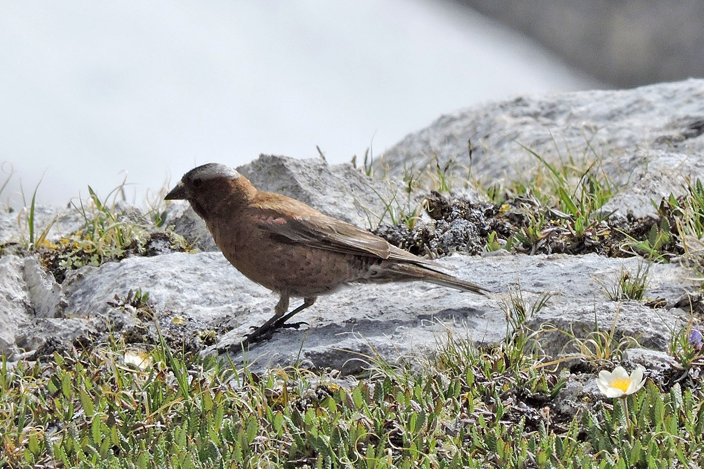
On the way back through the cirque, Chip pointed out gray-crowned rosy-finches
Instead of going over the rise, we went around it
82 J/14 Spray Lakes Reservoir, 82 J/11 Kananaskis Lakes