bobspirko.ca | Home | Canada Trips | US Trips | Hiking | Snowshoeing | MAP | About
Horseshoe Canyon
Drumheller, Alberta
May 27, 2018
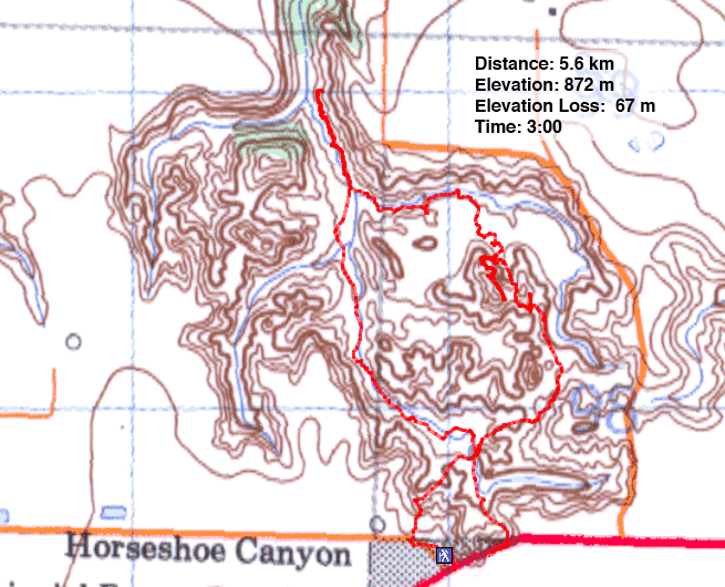
Distance: 5.6 km (3.5 mi)
Cumulative Elevation Gain: 116 m (381 ft)
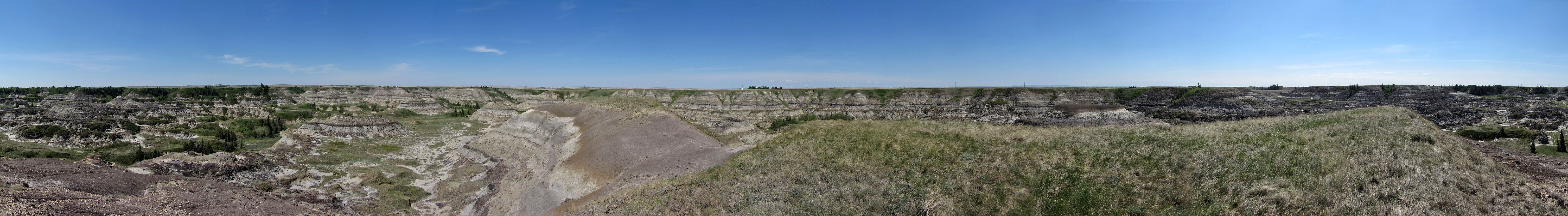
Of Alberta badlands parks, Horseshoe Canyon Provincial Park is the smallest. The canyon is several kilometres long, but the badlands area with its eroded hills is less than two kilometres across at the widest point. To make the most of this tiny park, Dinah and I hiked a loop and climbed one of the highest hills there.
From the parking lot, there are two ways to reach the canyon floor, a trail on the west side and a trail on the east side. We descended the east trail but returned up the west path.
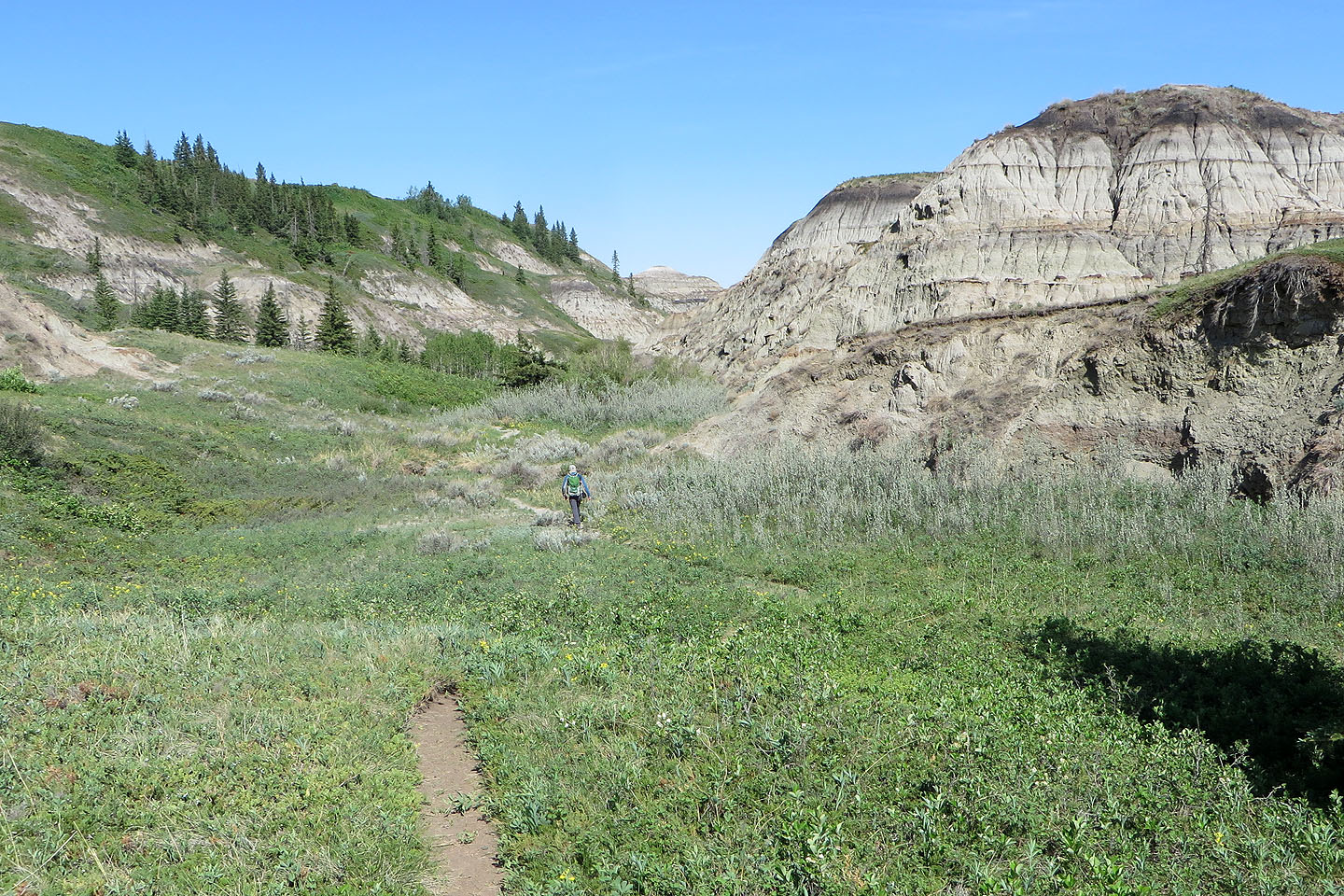
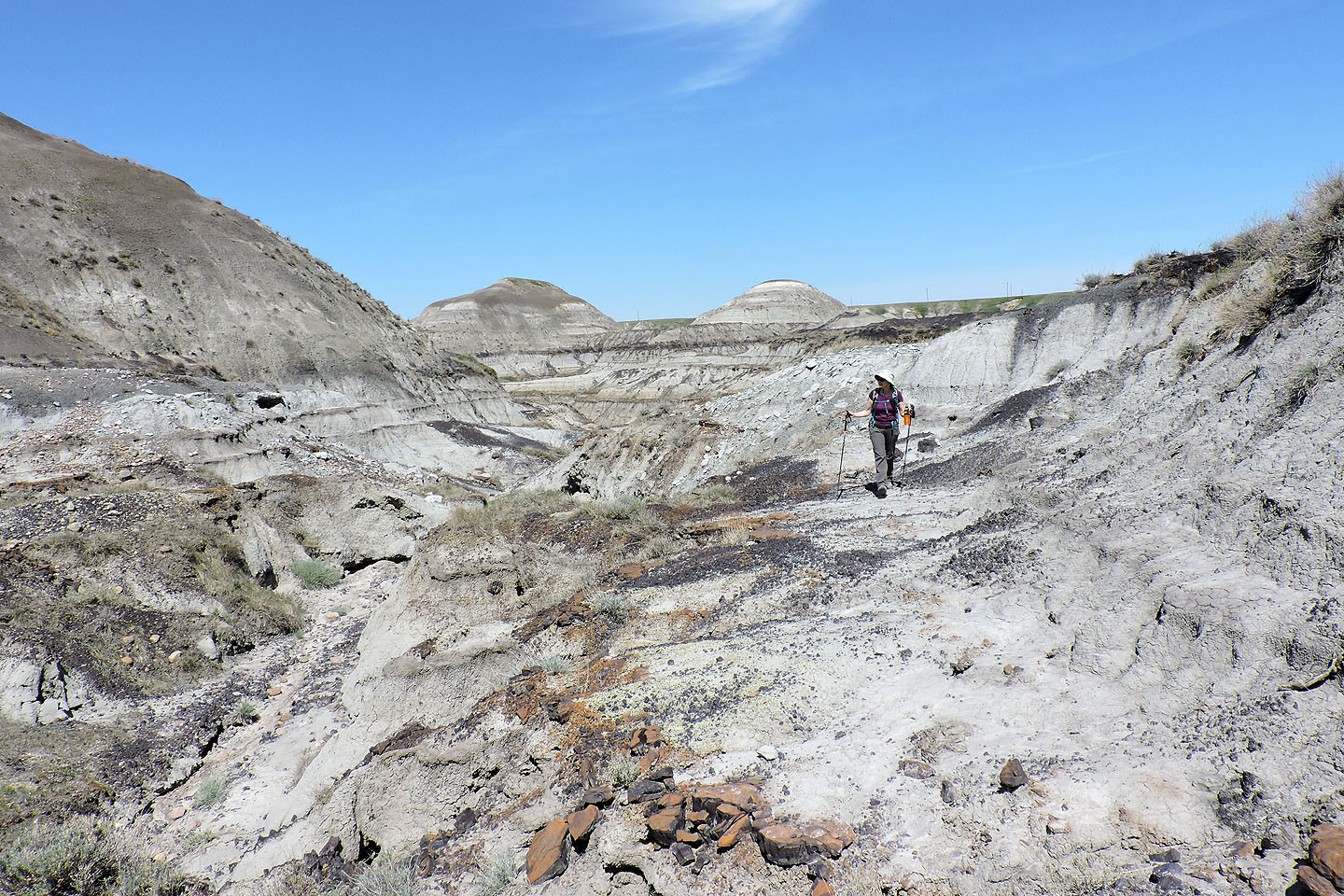
After reaching the canyon floor, we followed the trail through the eroded hills. We kept left to stay on the main trail which runs alongside a creek on the west side of the canyon. All too soon, the trail reaches the north end of the badlands. Here the canyon narrows and becomes bushy. There is little of interest here.
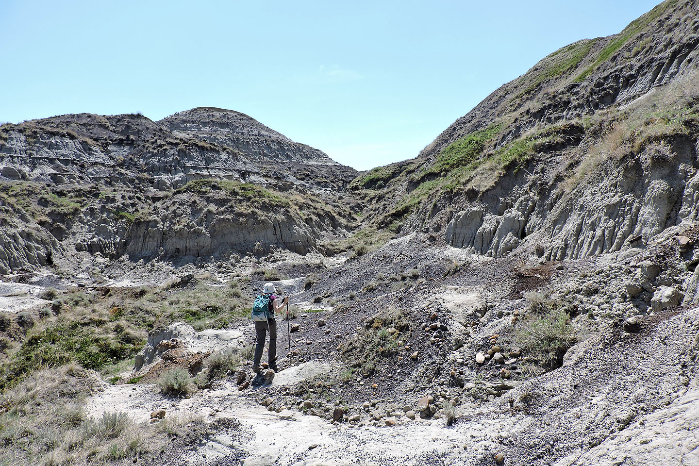
We turned around and started up a crude trail alongside a creek on the east side of the canyon. From the start the going was difficult. The creek was a deep ditch that was difficult to cross. And between the steep wall of the canyon on our left and the dense trees on our right, there was little room to maneuver and nothing to see. Eventually we had enough. We kept right, pushed through the trees, and climbed out onto the badlands.
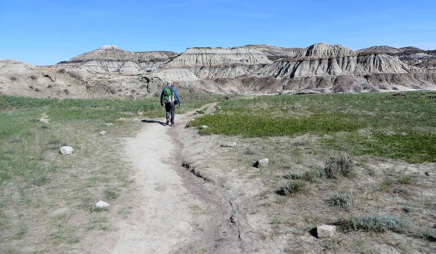
Straight off, we headed to the nearest and highest hill in sight. Most hills appear to have crumbly sides too steep to ascend easily, but we skirted the base of our hill and found a way up. Doubtless, the best view of the park is from the top of any of these hills. After climbing our big hill plus a smaller one, we crossed the canyon floor and hiked back up to the parking lot.
Horseshoe Canyon doesn't stack up well against other, larger Alberta badland parks. It lacks the fantastic landscape and big hoodoos of Dry Island Buffalo Jump and Writing-On-Stone. It doesn't have intact dinosaur bones like those we found in Horsethief Canyon, just tiny fragments. But it does provide a badland experience with a quicker drive from Calgary, reason enough to visit it.
View of Horseshoe Canyon seen from the parking lot rim
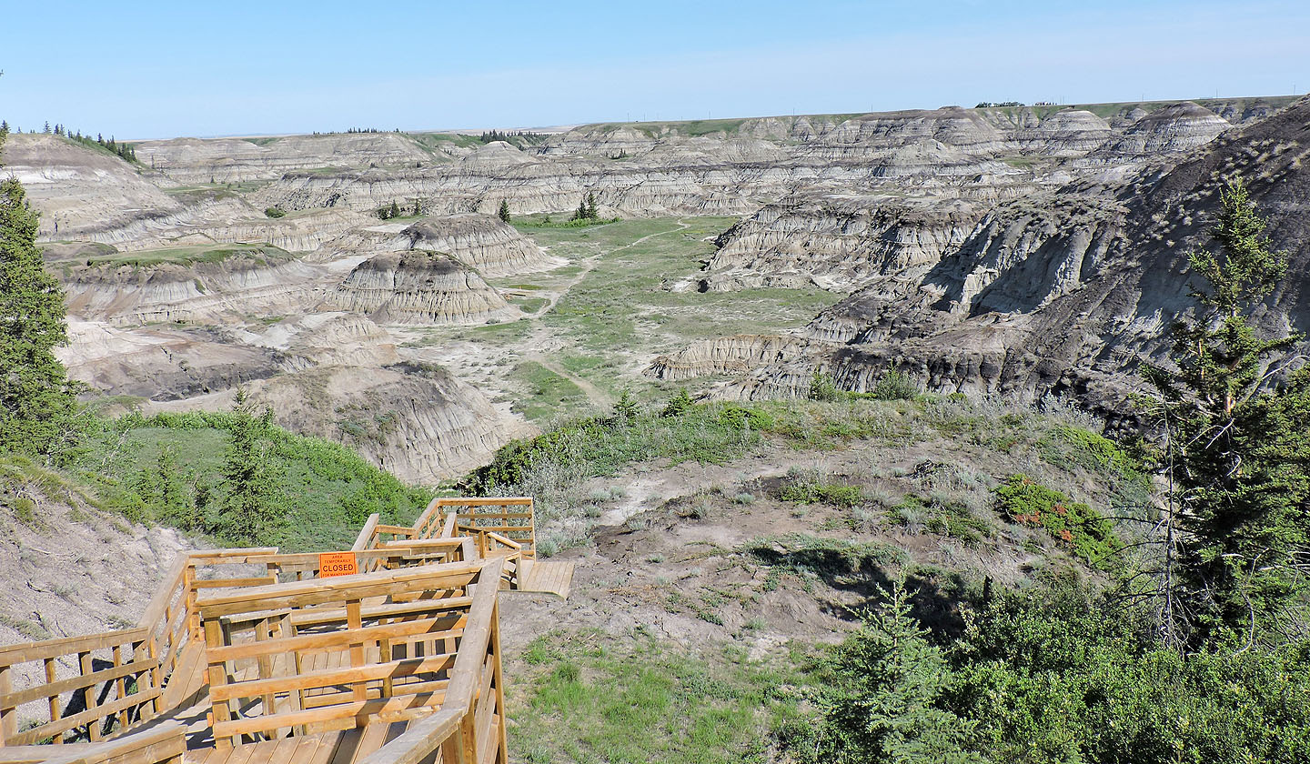
The canyon trail seen from partway down. Evidently, stairs will eventually reach all the way to the bottom.
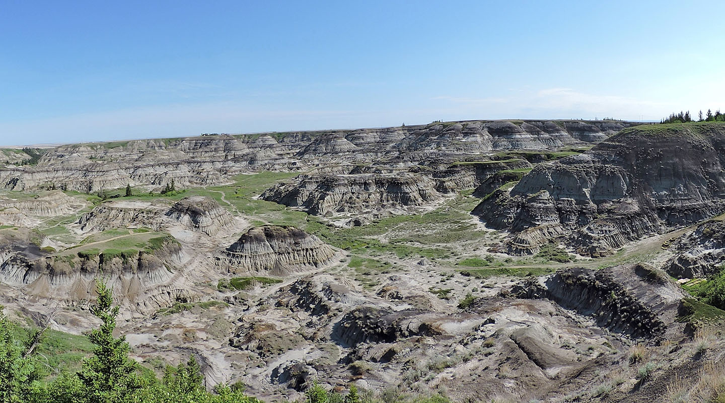
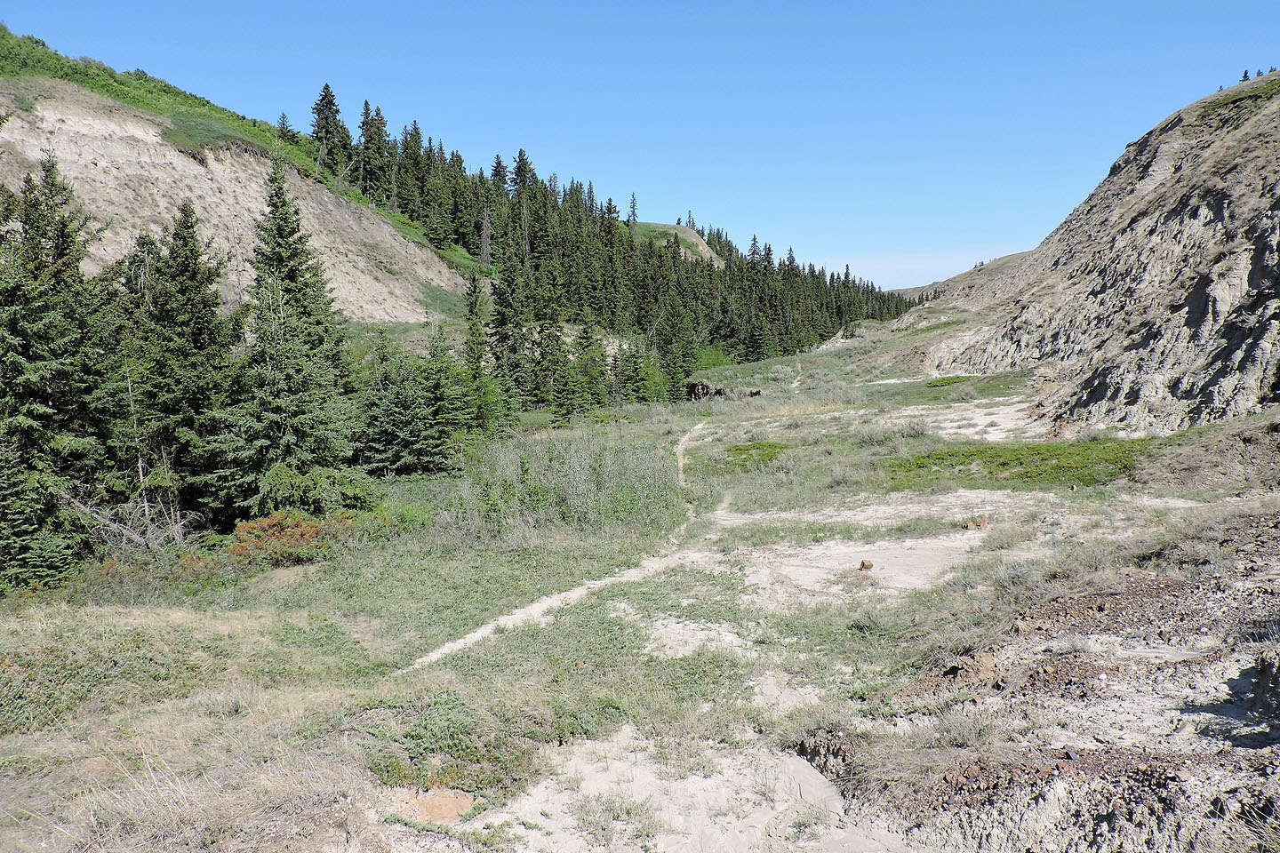
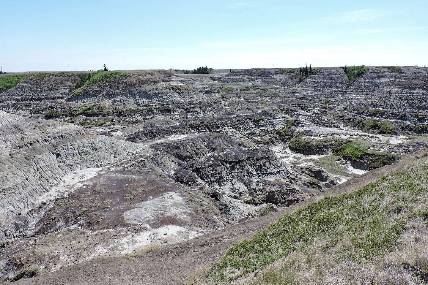
The trail leads to eroded hills
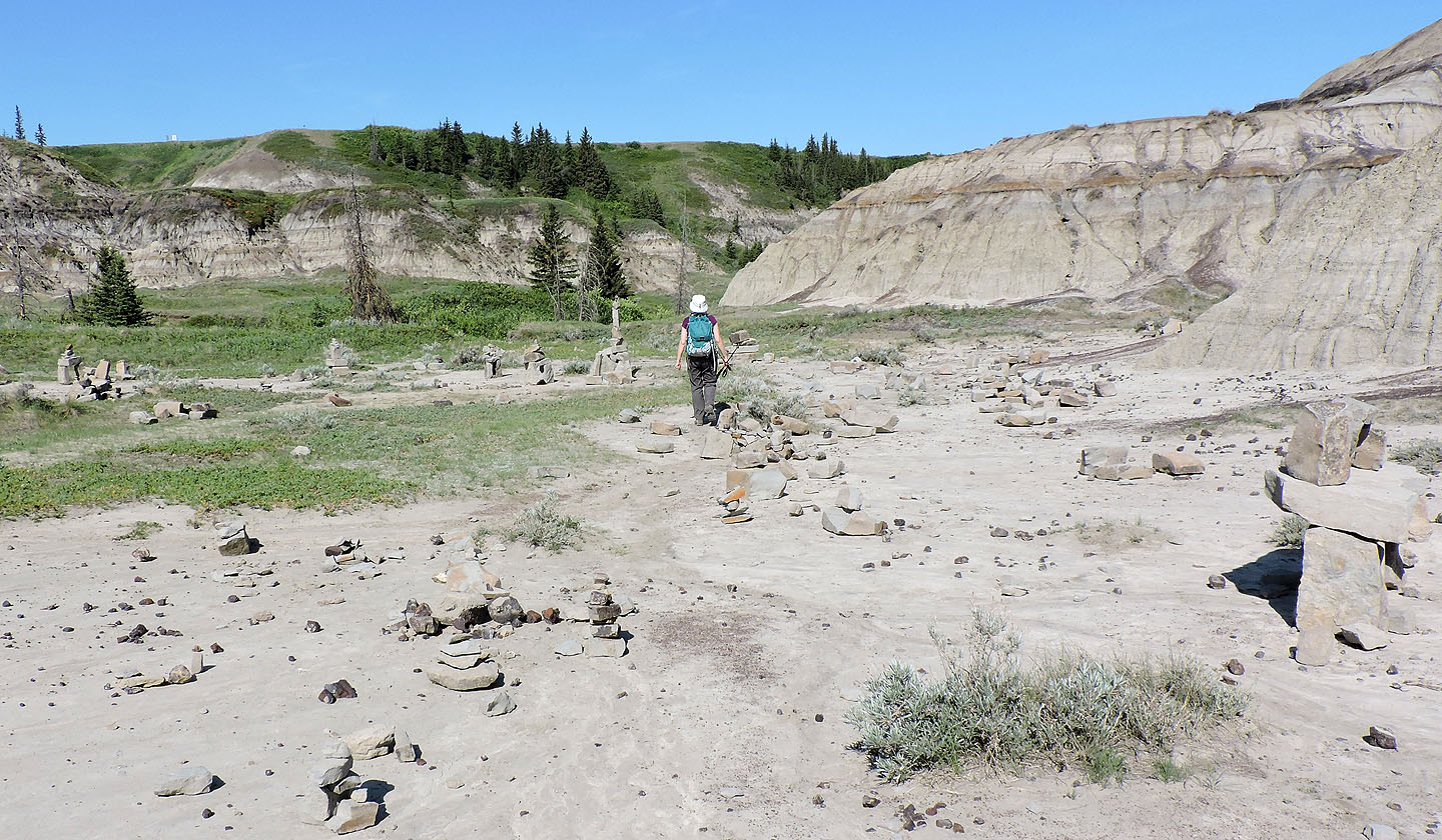
We kept left, passing a bunch of cairns
The trail follows alongside a drainage on the west side
The canyon narrows ahead, marking the end of the badlands area
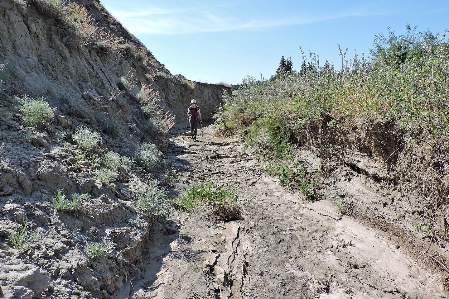
We dropped into a creekbed
A trail, likely deer, continues up the canyon but we turned around here
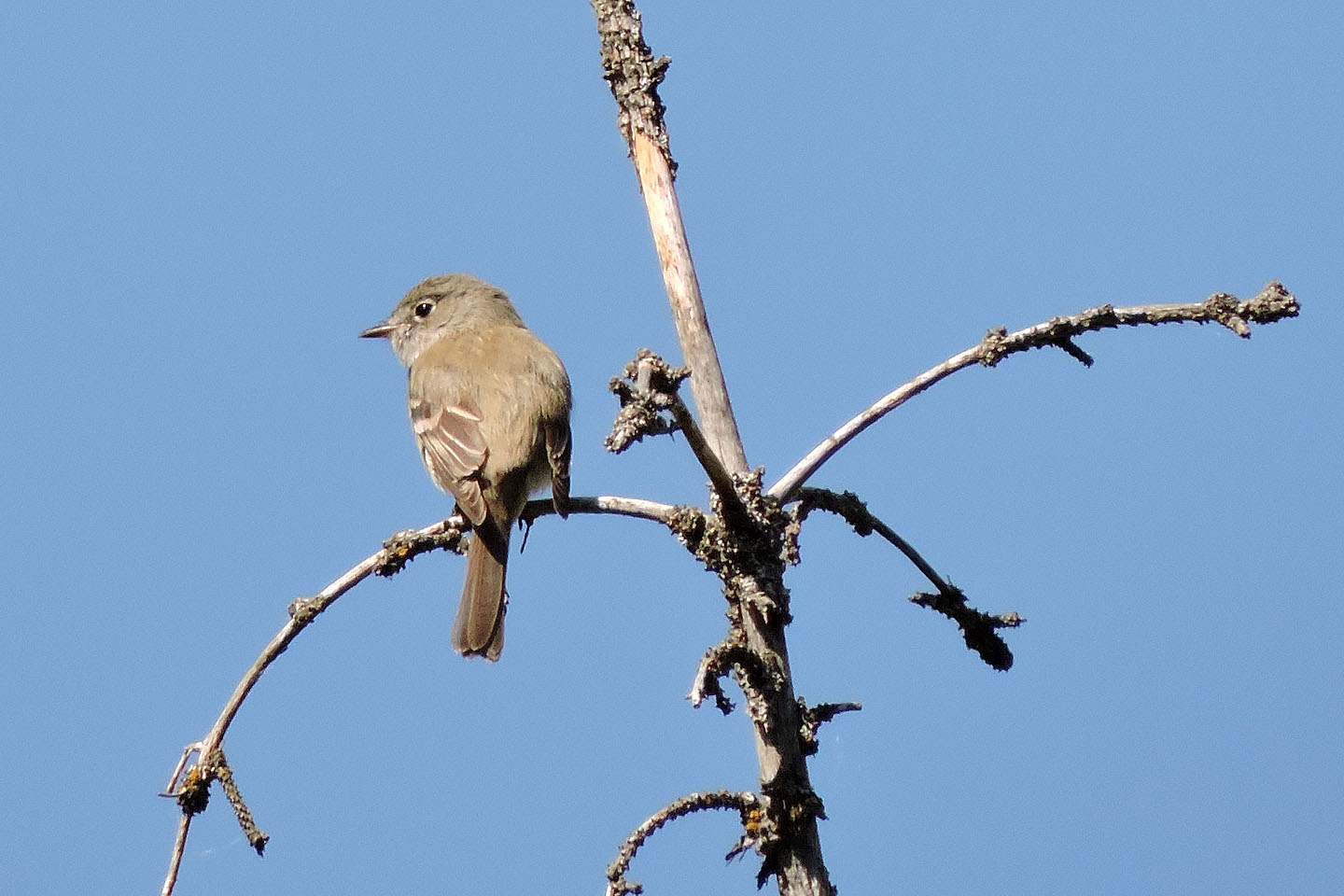
We heard songbirds but this is the only one we saw
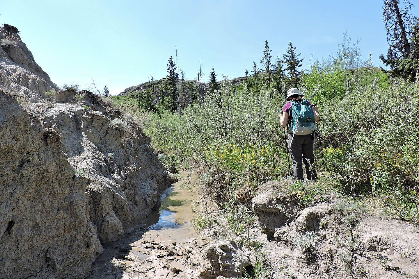
After turning around we started up a trail on the east side of the canyon, but it disappeared into dense vegetation
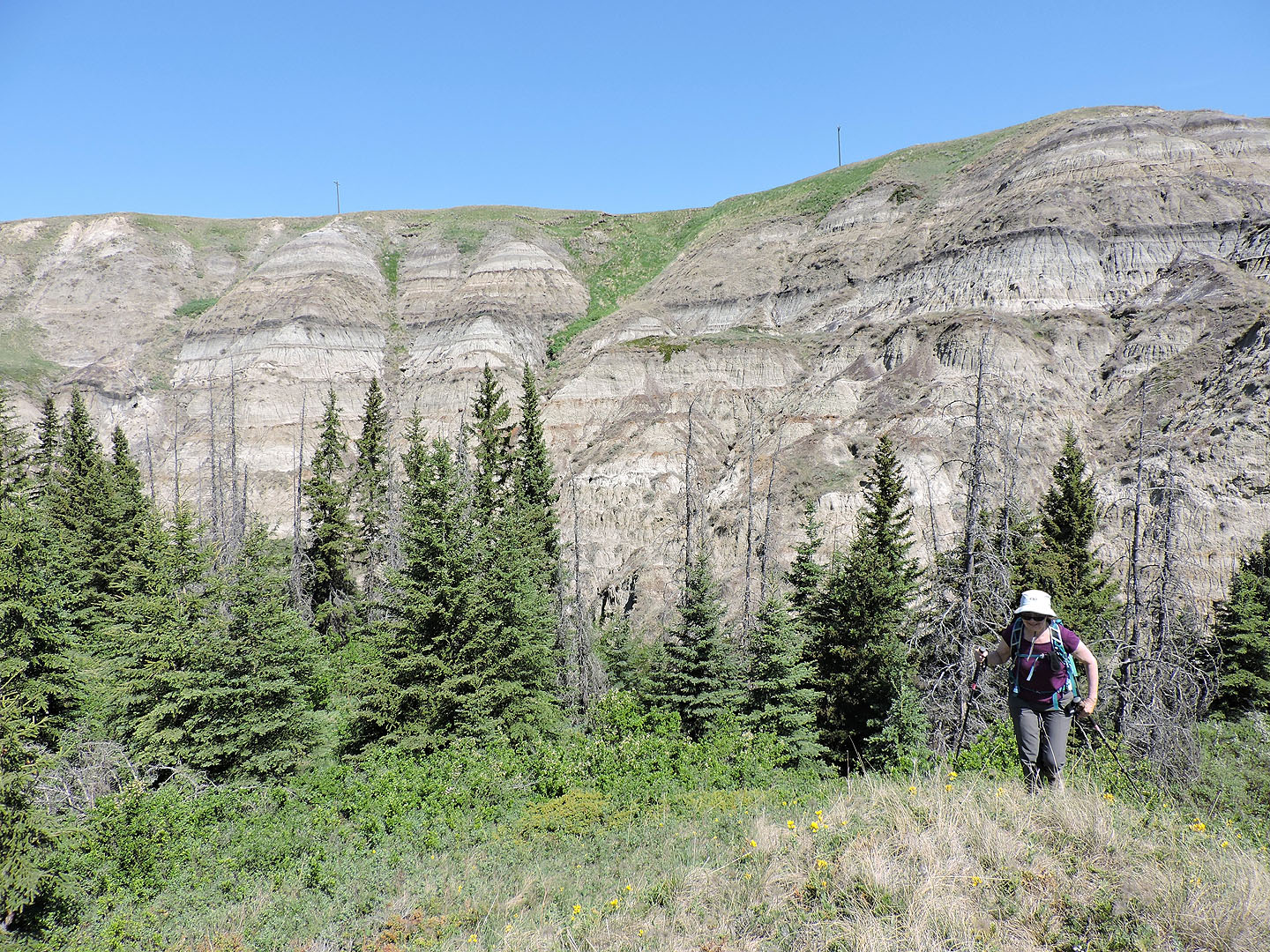
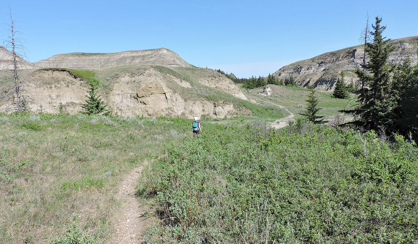
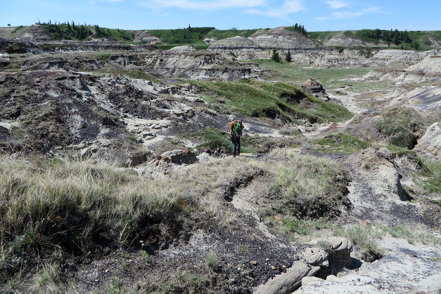
After some bushwhacking, we were glad to reach to open ground
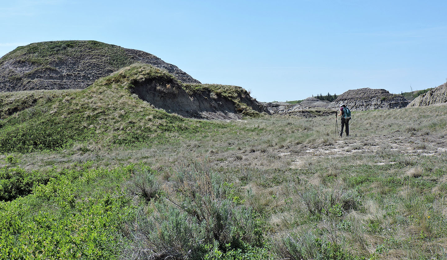
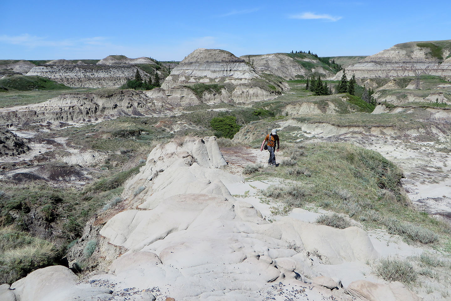
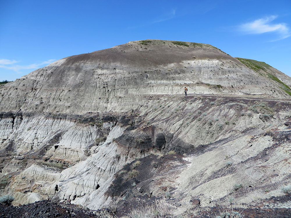
We gravitated toward the closest and biggest hill we could see
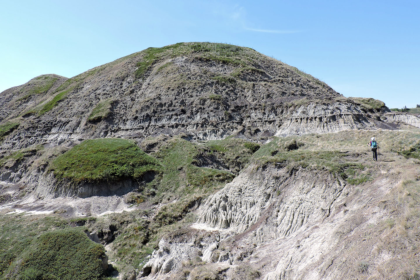 It's actually ridge-like with the highest point on the left
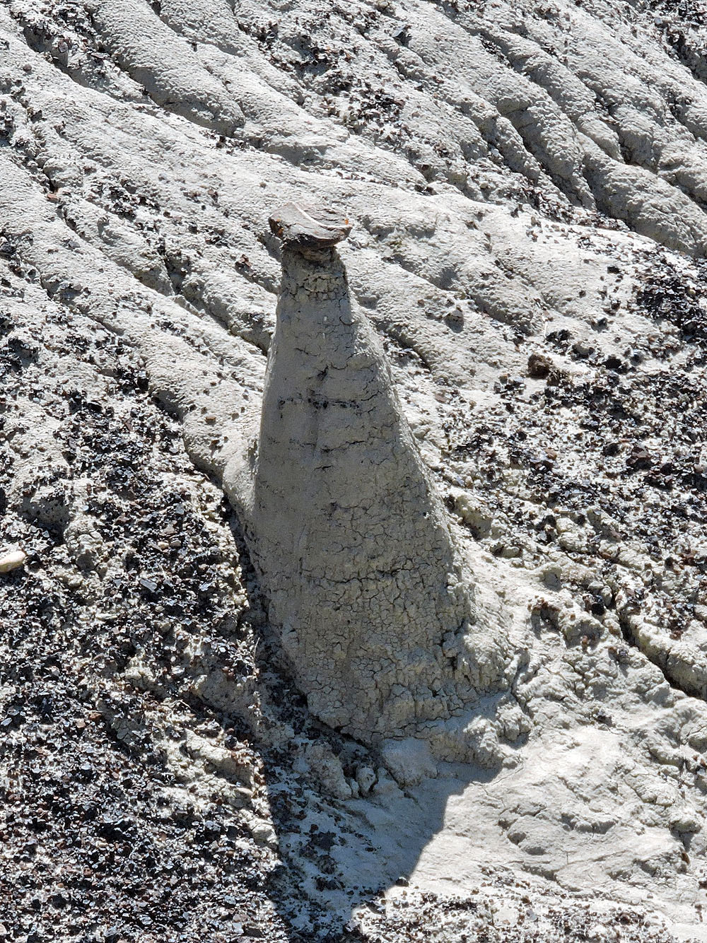
A small hoodoo
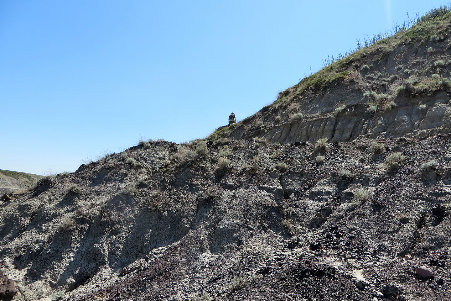
We started up the end of the ridge
Looking back
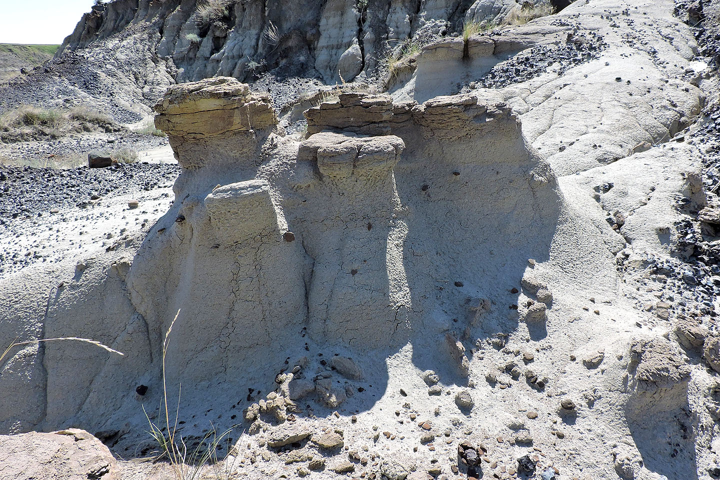
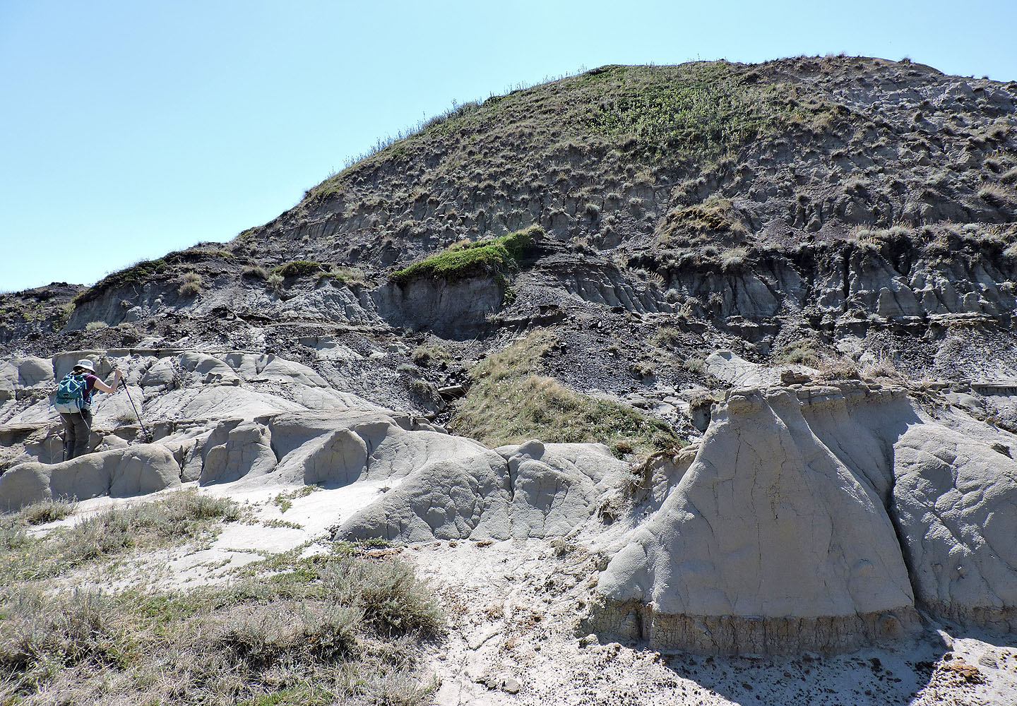
Small hoodoos at the base of the hill
The climb was nothing more than a steep hike
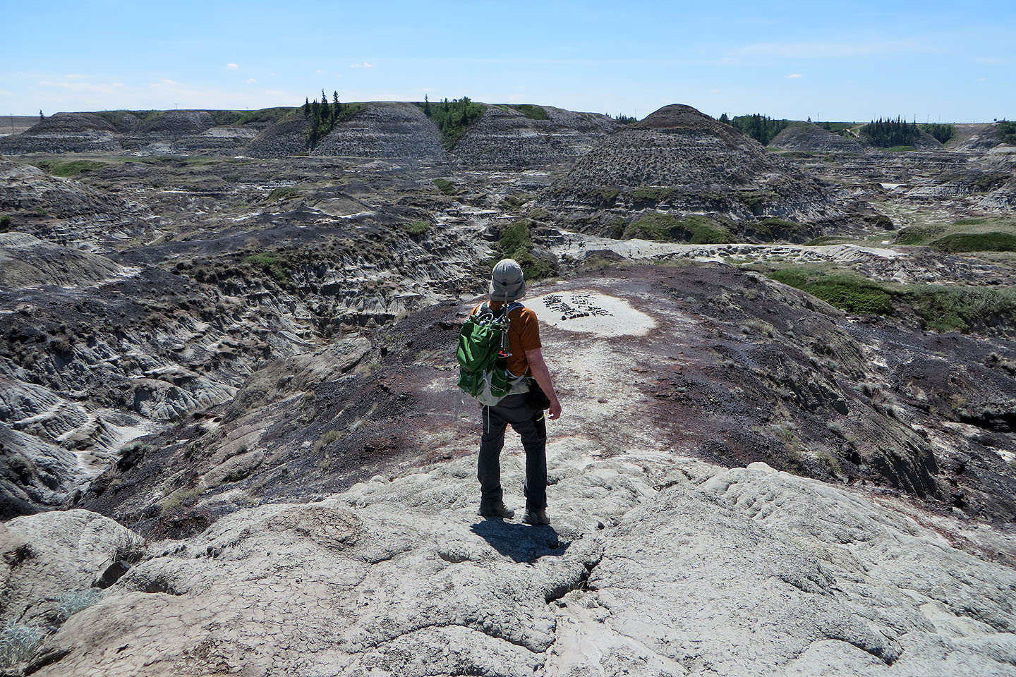
Looking southeast from the summit
Back at the base of the hill, we started heading back but first climbed the small hill on the left
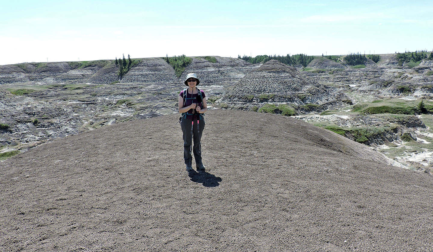
Dinah on the small hill
Looking back at the big hill
Heading down to the canyon floor
Looking back at the hills we climbed
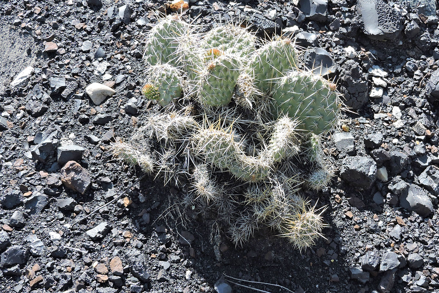
A prickly pear cactus appears to have flower buds
Heading back to the parking lot (upper left)
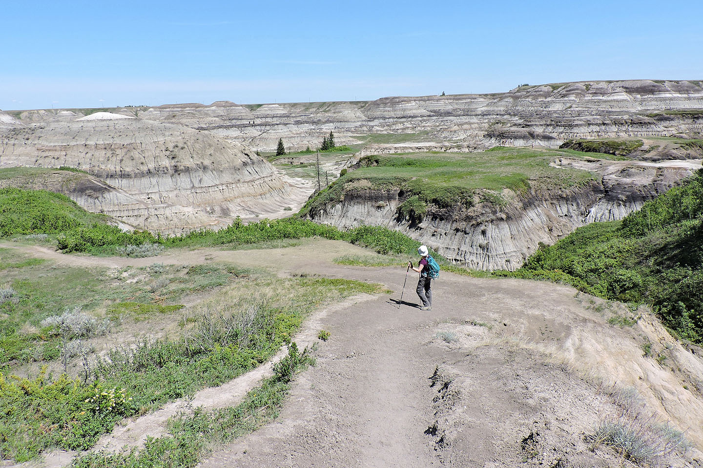
Looking back from halfway up the west trail to the parking lot
82 P/07 Drumheller