bobspirko.ca | Home | Canada Trips | US Trips | Hiking | Snowshoeing | MAP | About
Trail Hill
Crowsnest Pass, Alberta
August 29, 2023
Distance: 7.8 km (4.8 mi)
Cumulative Elevation Gain: 350 m (1148 ft)
I finally got around to doing Trail Hill since it was one of my last hikes in Crowsnest Pass. Since Trail Hill Trail appears on maps, I was expecting to cruise up a path. Boy was I wrong! If scratches and torn clothing were a measure of bushwhacking, then this “trail” would be my worst bushwhacking ordeal. Contrary to the hill's name, much of the trail has disappeared under rampant vegetation.
I tried following the trail, but quickly learned it's not straightforward. It comprises three roads. I probably could've driven my Subaru up the first road, but the other roads were overgrown. The third road was especially bad, and I battled stretches of tangled bushes. Eventually I lost sight of the road and began bushwhacking. Near the summit, I picked up a vague trail and followed it to the base of the summit bump. A brief climb up a grassy slope brought me to the broad hilltop.
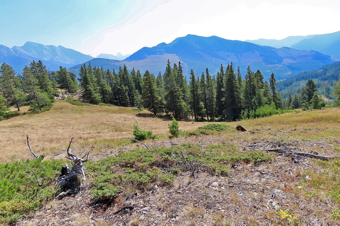
On the little hill, I met with hazy views all around. However, I was expecting wildfire smoke to blunt my views. But since Trail Hill is surrounded by tall mountains, there would be little to see even on a clear day.
After dismissing the views, I sat down on a log. I treated a couple of cuts, counted the rips in my pants and had a bite to eat. There was no reason to linger, so I started back down. I was going through dense bushes when I heard a tremendous crash ahead, the sound of breaking branches. I had been yelling to make my presence known and must have startled a huge animal. I took out my bear spray but never caught sight of whatever it was. I finished my hike without further incident.
Needless to say, I don't recommend hiking Trail Hill Trail. A better way to reach Trail Hill might be a winter ascent using routes set by Sonny Bou or Dave McMurray.
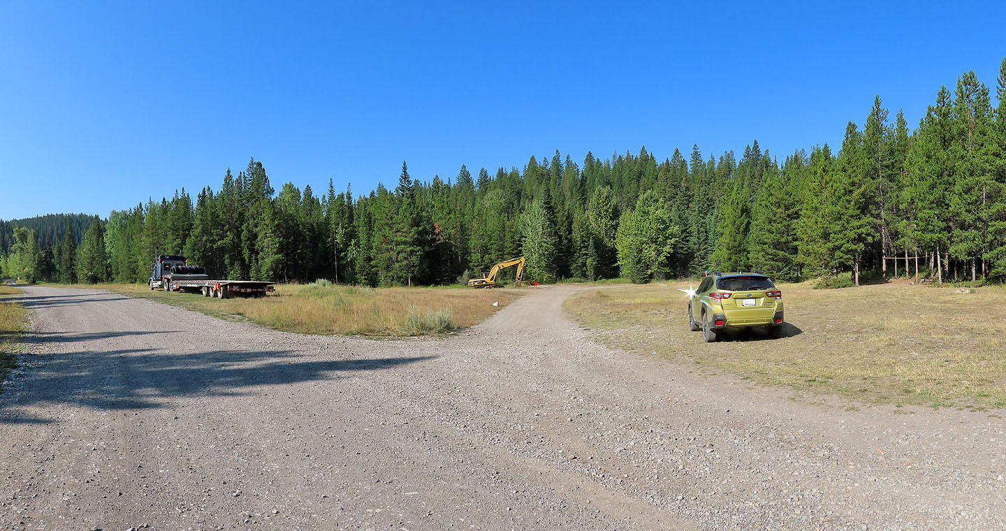
I started up the road on the right and immediately turned right, crossed a bridge and soon turned left
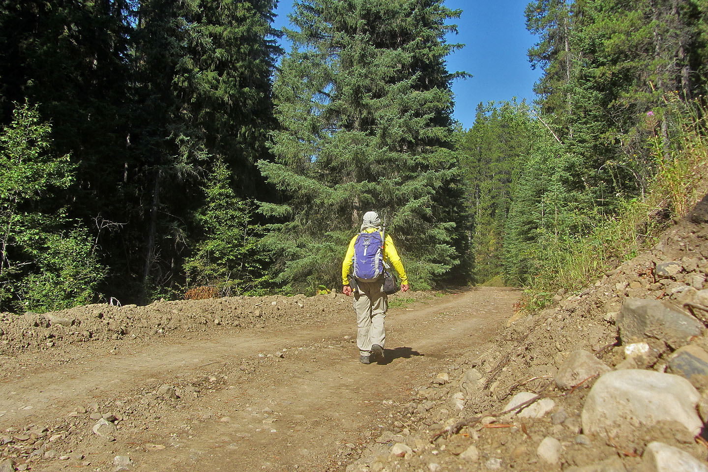
Plodding up the road
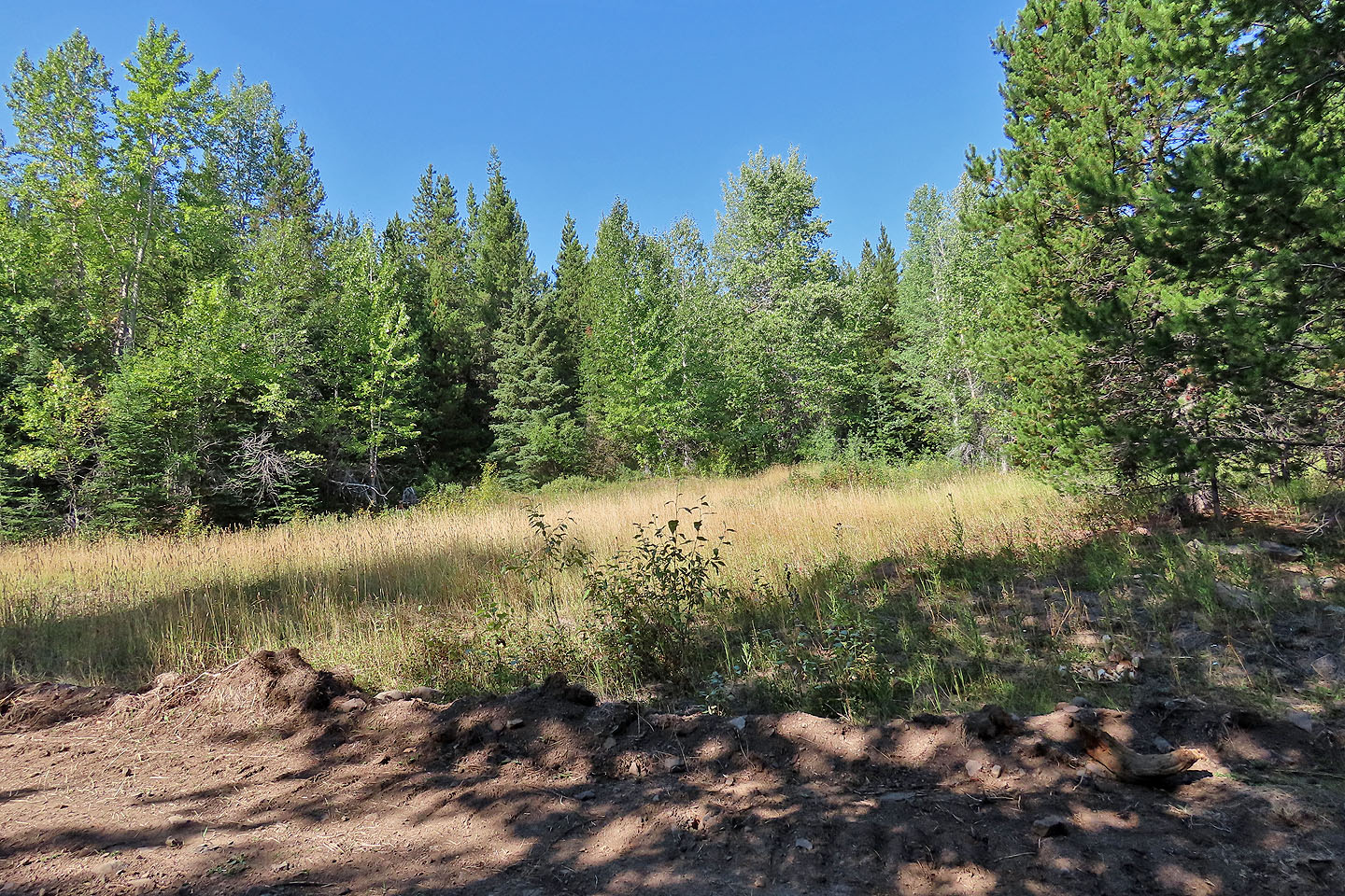
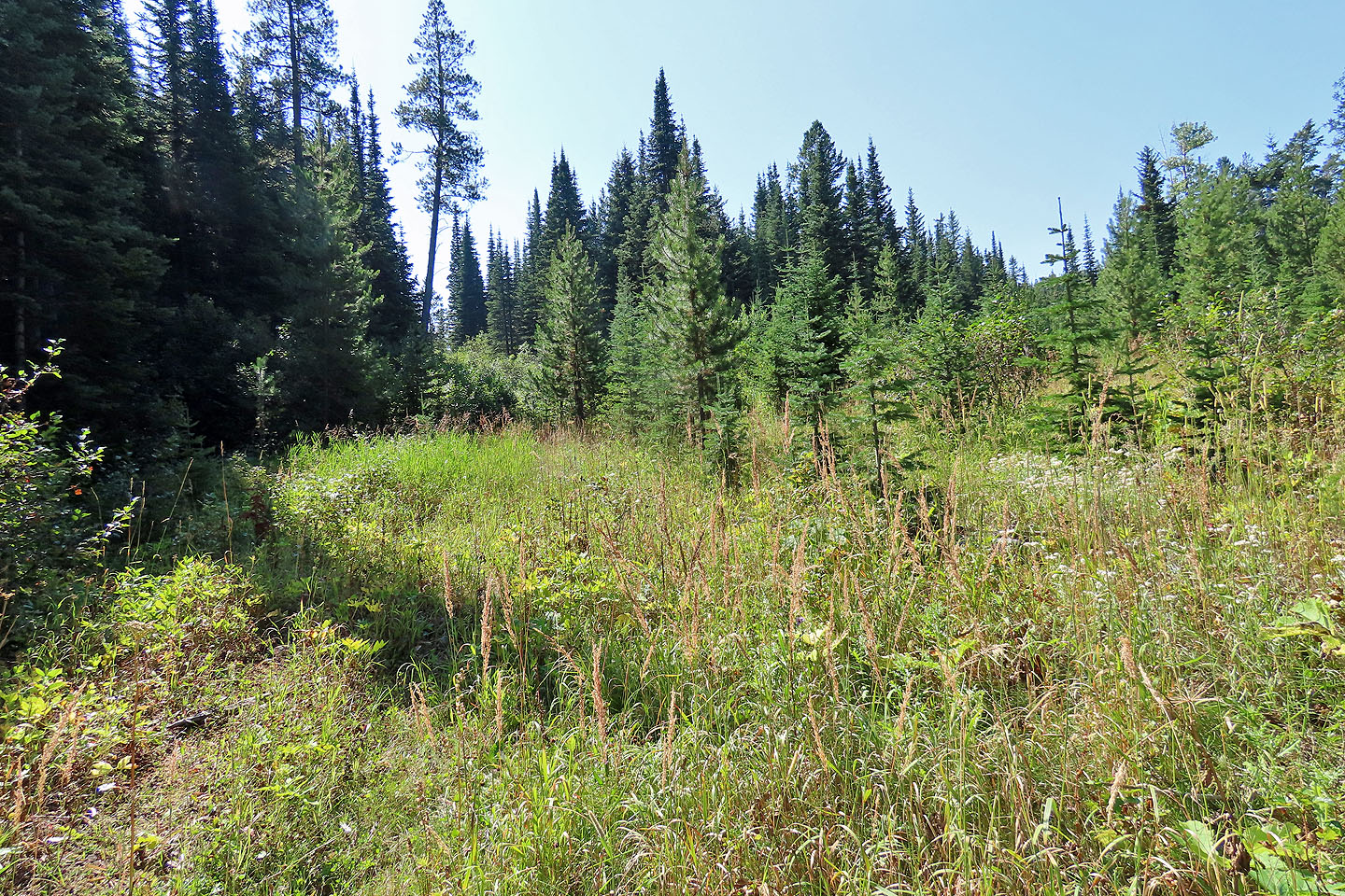
I missed this turn and came back to look for it. The road begins at the end of this field.
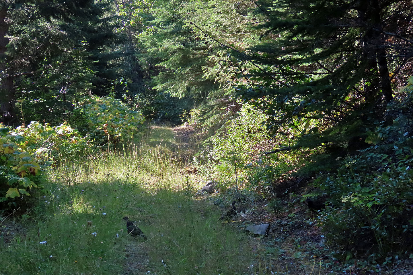 Spruce grouse occupied the second road (mouse over for a close-up)
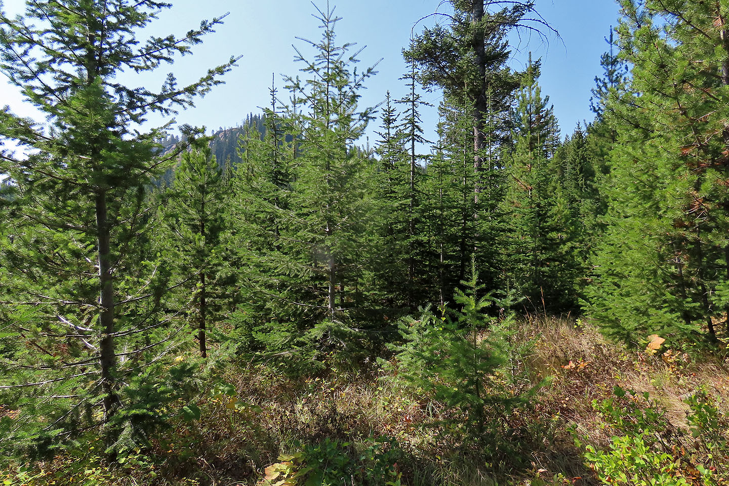
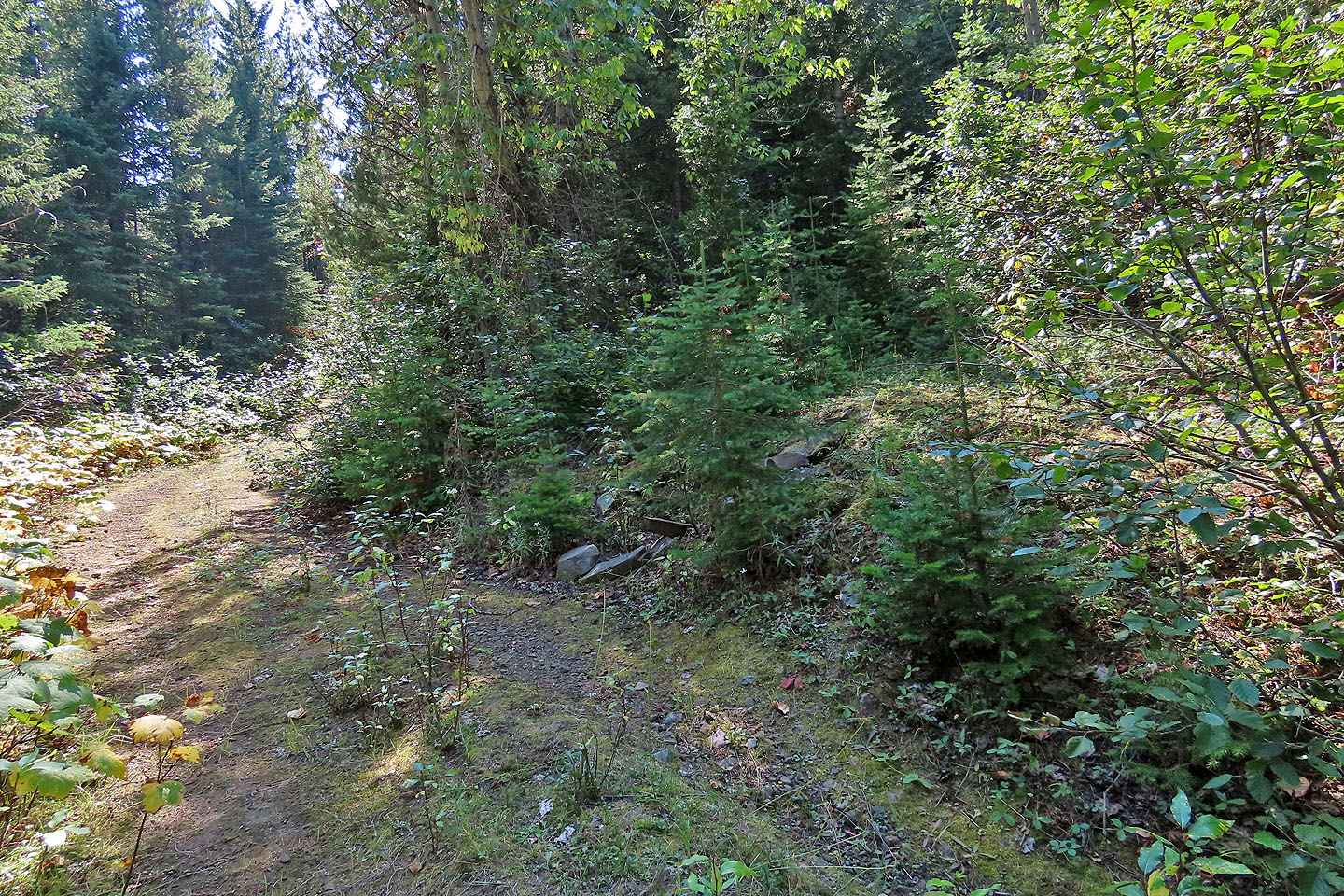 The third road begins somewhere around here
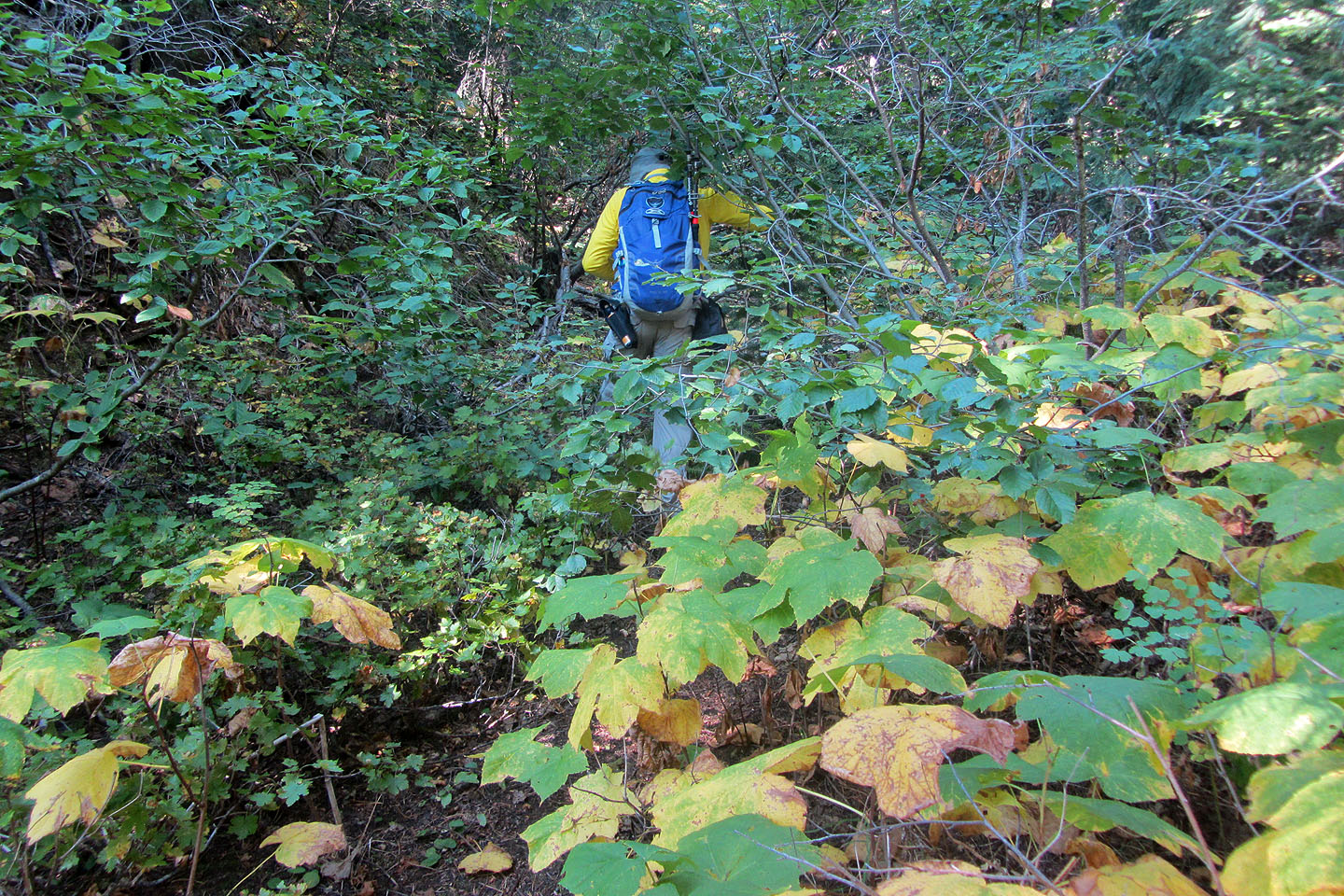 Pushing my way up the road
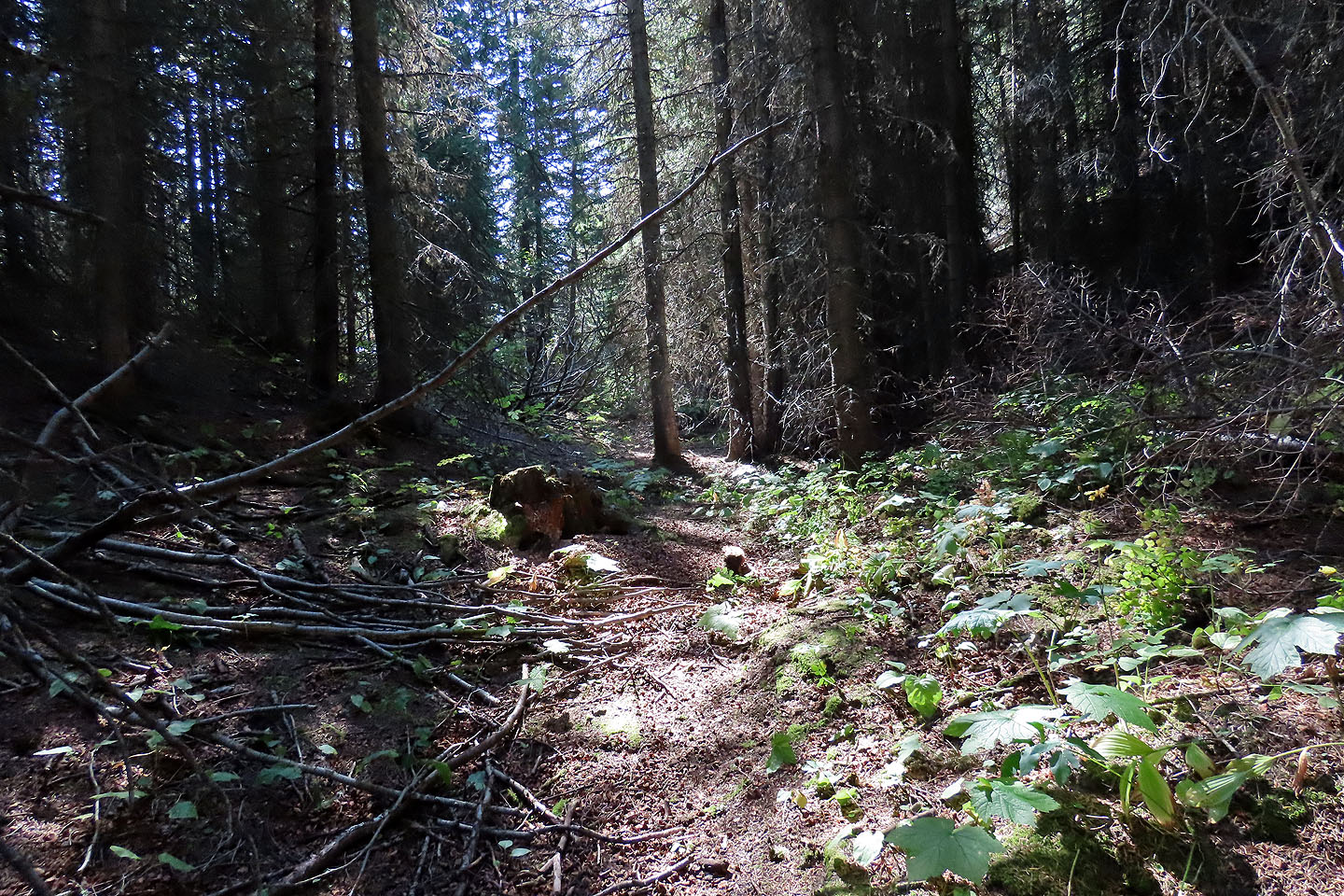
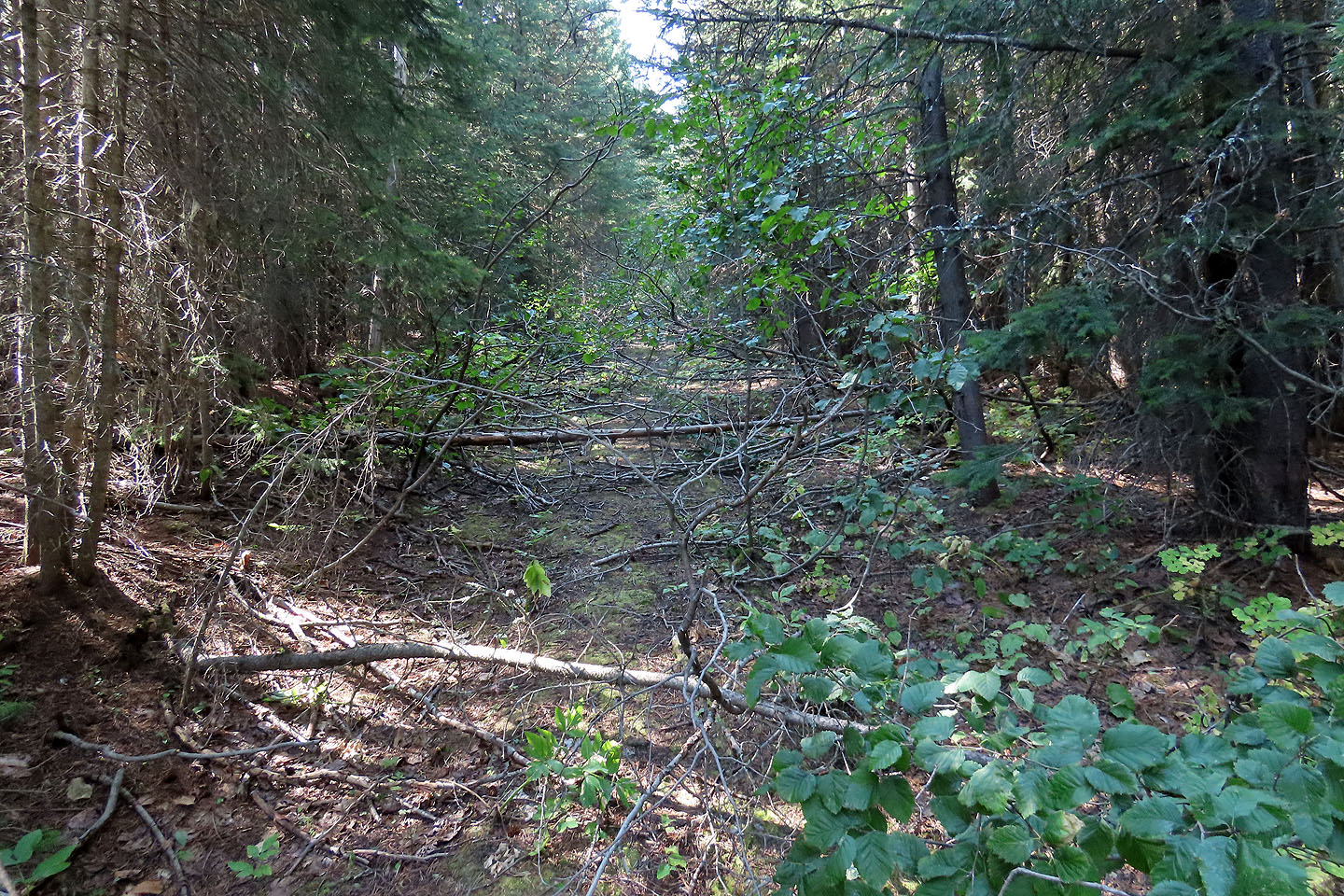 It's definitely an old road
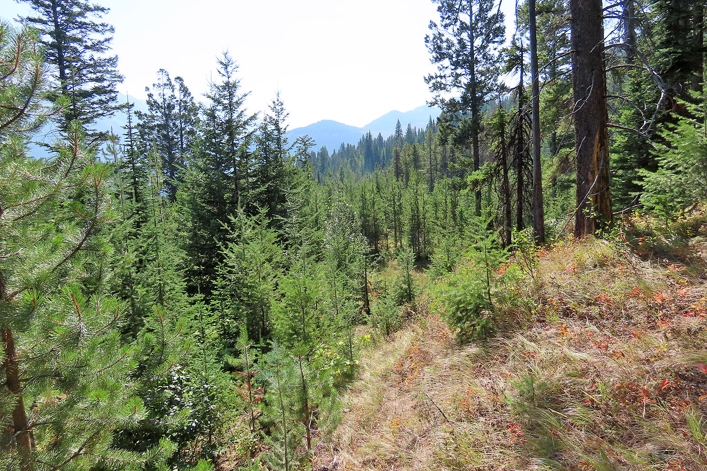
 I caught a glimpse of the summit
The road on the left was completely overgrown
 As I neared the summit, I found a vague trail
 The trail leads to the base of the summit bump
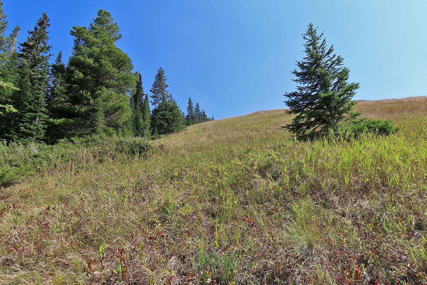 The summit is a few minutes away
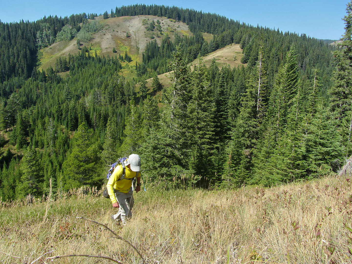 Hiking to the summit
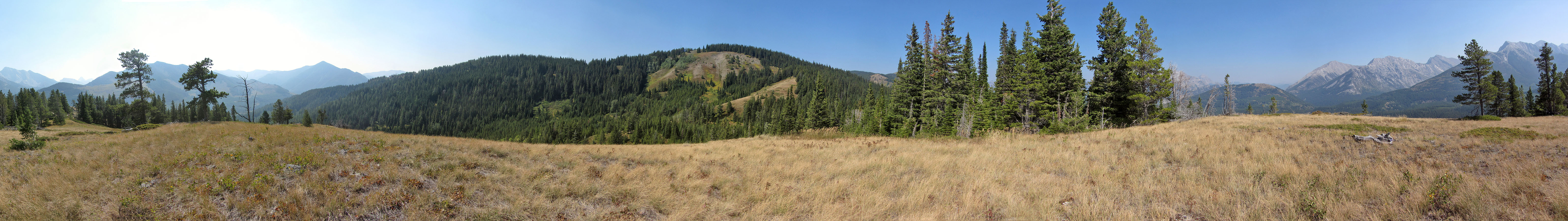
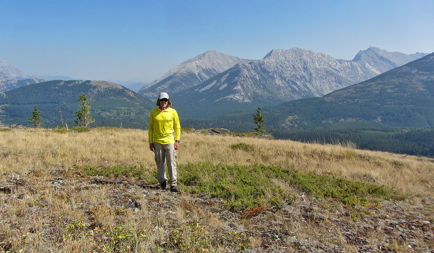 Standing on the spacious top
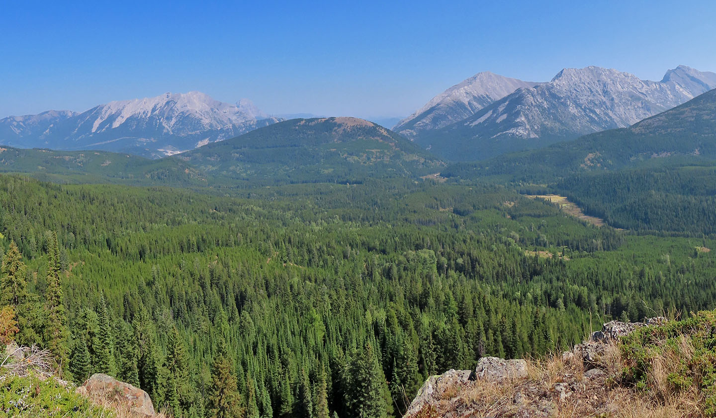 Island Ridge (centre) with Phillipps Peak and Mount Tecumseh left and Sentry Mountain and Chinook Peak right
 Details of Tent Mountain are lost in a haze of smoke
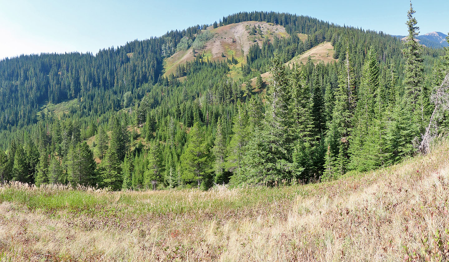
If it wasn't a hot, smoky day, I would've climbed the south end of Loop Ridge. The summit is far right.
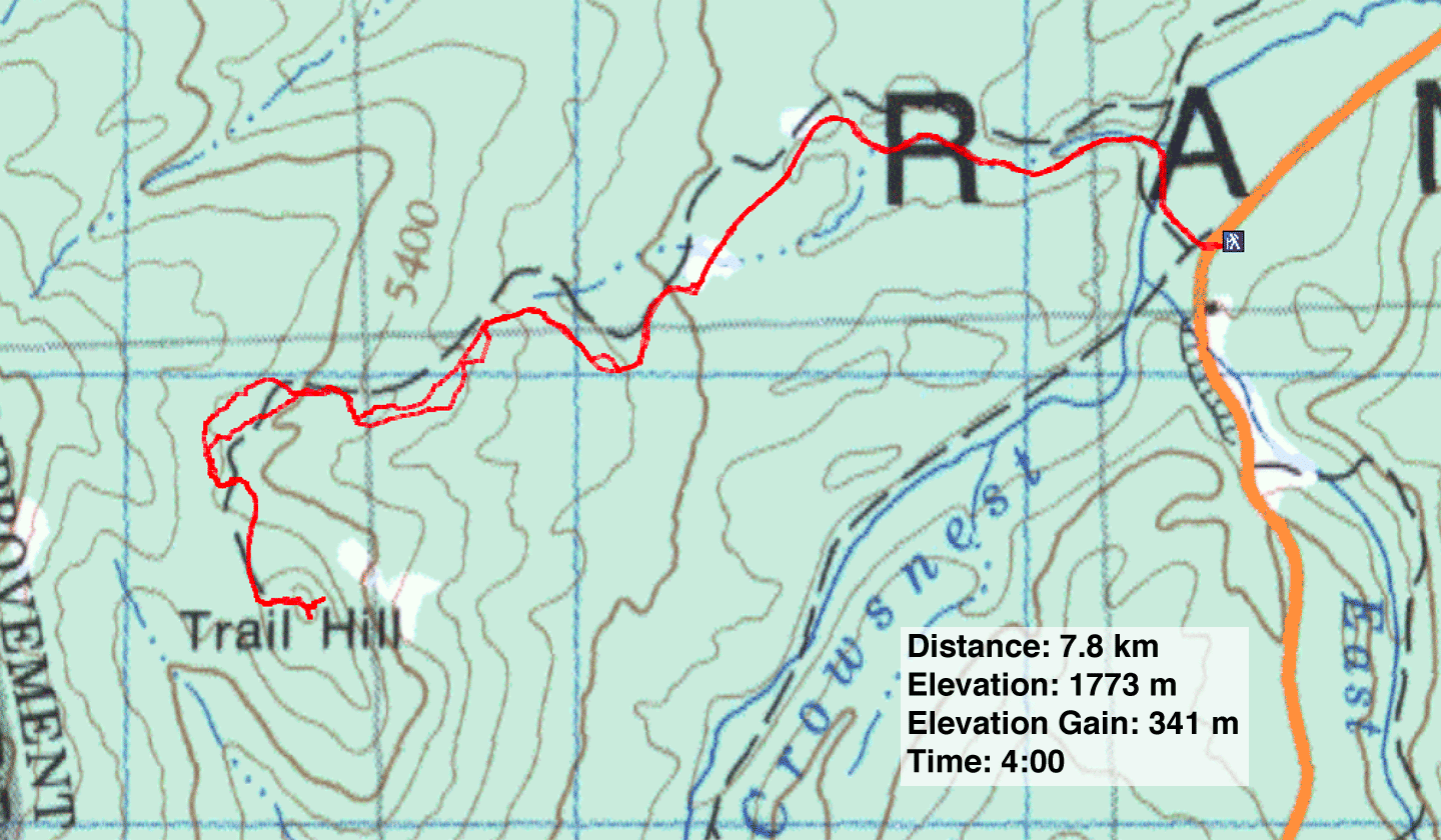 82 G/10 Crowsnest