bobspirko.ca | Home | Canada Trips | US Trips | Hiking | Snowshoeing | MAP | About
Island Ridge
Crowsnest Pass, Alberta
July 9, 2016
Distance: 6.5 km (4.0 mi)
Cumulative Elevation Gain: 443 m (1453 ft)
Island Ridge is a small mountain, best reserved when time or energy is lacking, or, as in our case, when you’re looking for a backup trip. When the wheels fell off our hike up Tent Mountain at the trailhead because of a “No Trespassing” sign, Dinah and I drove back down Coal Road to climb Island Ridge.
We were familiar with the little mountain as we had attempted the northeast ridge early in the year. Dinah and I, along with Sonny and Zora, had parked 800 m up Coal Road from Hwy. 3 where there is a pullout and a trail. The short trail ended abruptly, but we continued hiking up. The lower slopes were dry, but we soon encountered snow. Our progress stalled when we reached hip-deep snow, and we decided to turn around. Now Dinah and I were back in the summer to pick up where we left off.
After starting up, we realized the area is rife with animal trails, trails that were hidden under snow on our attempt. Trails that merged and split, disappeared in small glades only to appear in the trees, but linked together, created a viable route up the ridge free of bushwhacking, at least on the lower slopes. Only when we neared the north summit did trails become scarce, and we were forced to bushwhack a bit.
After reaching the north summit, we cruised south along the broad crest, through meadows and sparse trees, to the big, bald spot marking the south and highest point of Island Ridge. From the modest summit, we paused to gaze at higher peaks all around before continuing south, down the ridge.
Right away we picked up a nascent ATV trail, an obvious descent route. When it veered west, we continued following it, hoping it would switchback east to Coal Road. When that appeared unlikely, we made our way down the east end of the ridge, often following animal trails in the trees, to the road.
While walking back along Coal Road, I flagged down an Alberta Agriculture and Forestry truck that happened to be passing by. I asked the driver about trespassing on Tent Mountain. He said he had driven well up the road and hadn’t seen any trespassing signs. But he had taken the left fork before the trailhead, and that road joins the mining road after the trespassing sign. Someday we’ll try that approach for Tent Mountain, but on this day we enjoyed our little hike up Island Ridge.
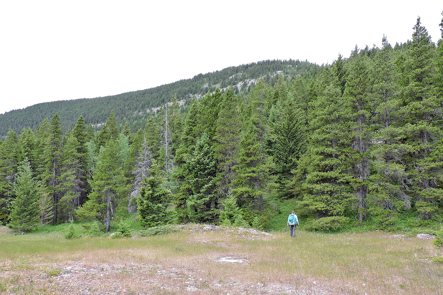
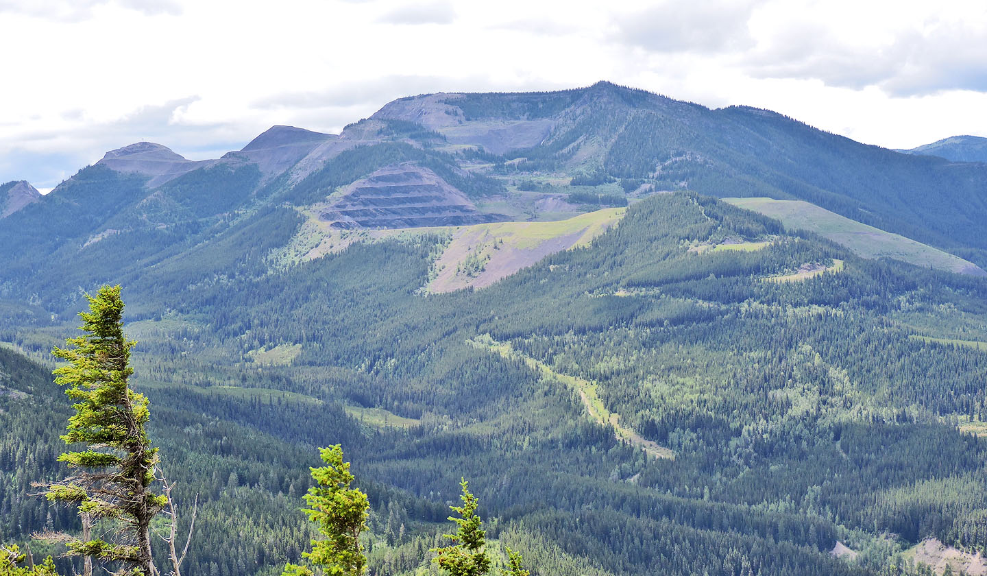
From Loop Ridge, Island Ridge appears as a green hill in the foreground
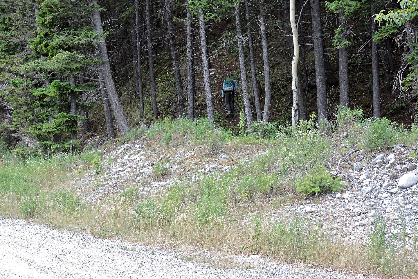
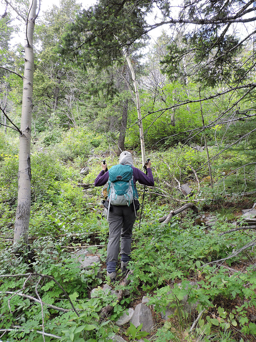
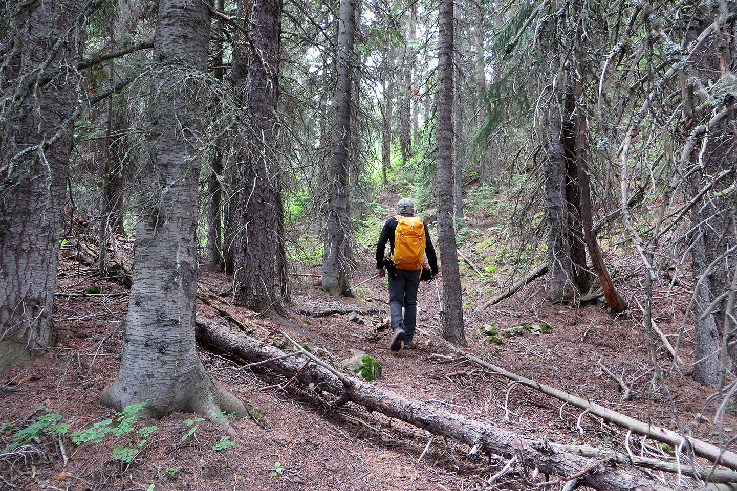
The trail we started up is hidden in the trees
After crossing clearings, we picked up trails in the trees
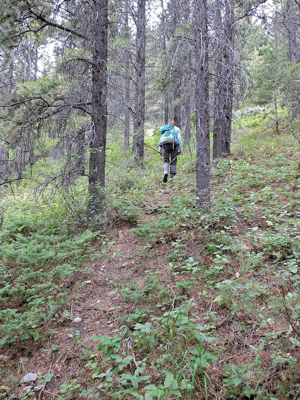
Following one of a series of animal trails we linked together
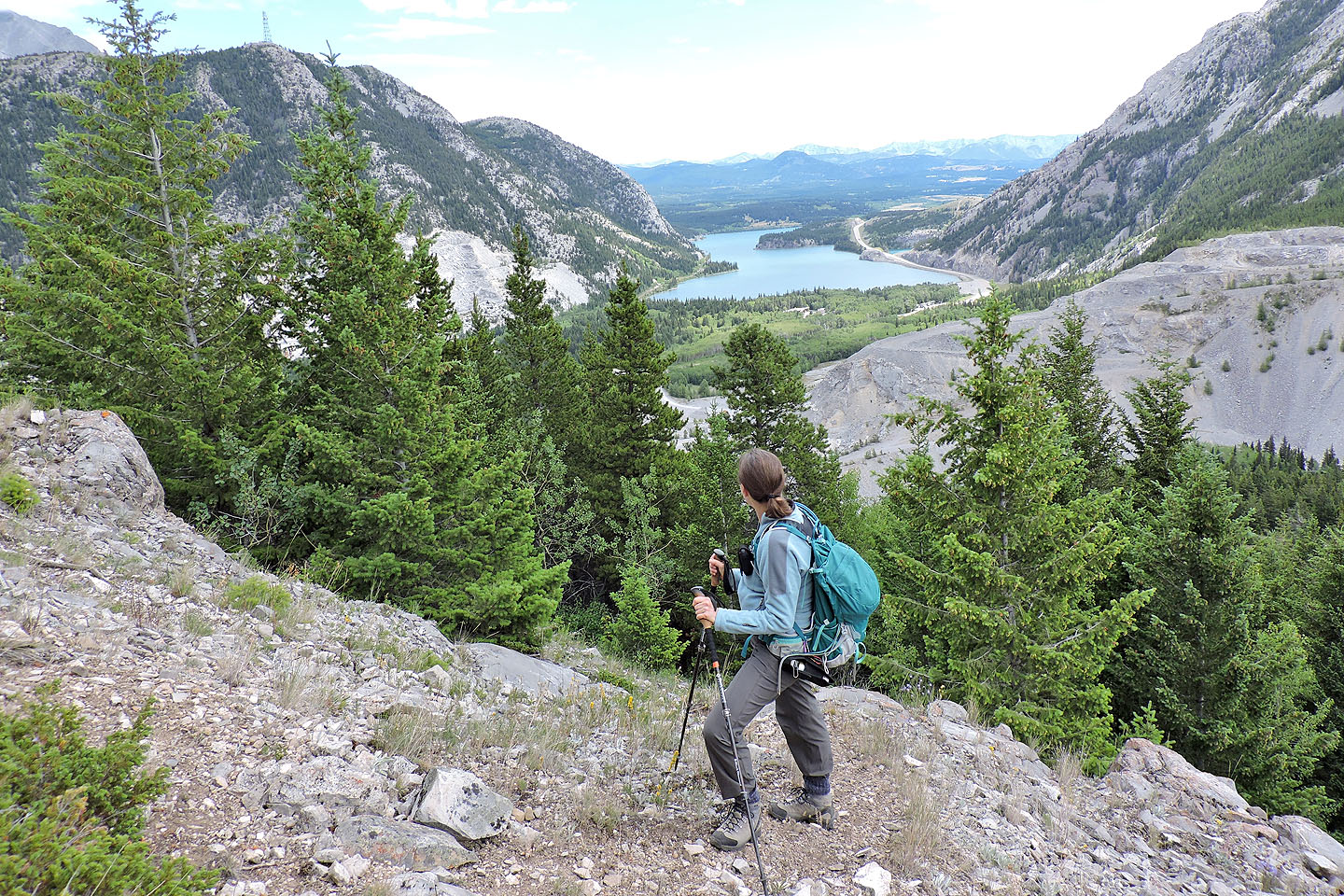
Looking down at Crowsnest Lake
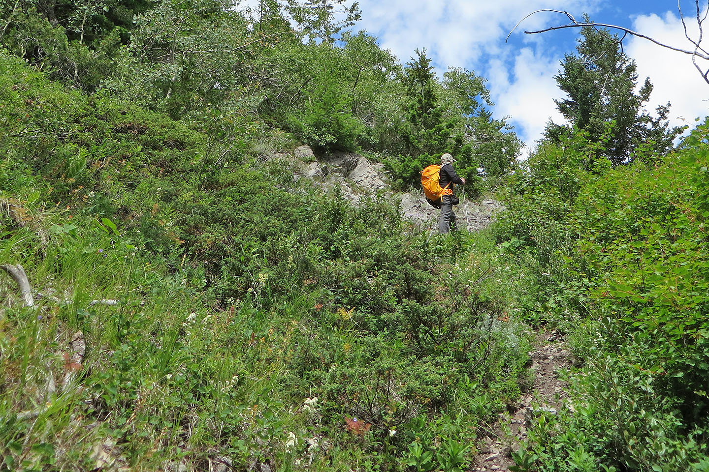
A trail goes up a break in the cliff band
On the trail leading to a break in the cliff band
On our attempt, we turned back at this point because of deep snow (mouse over)
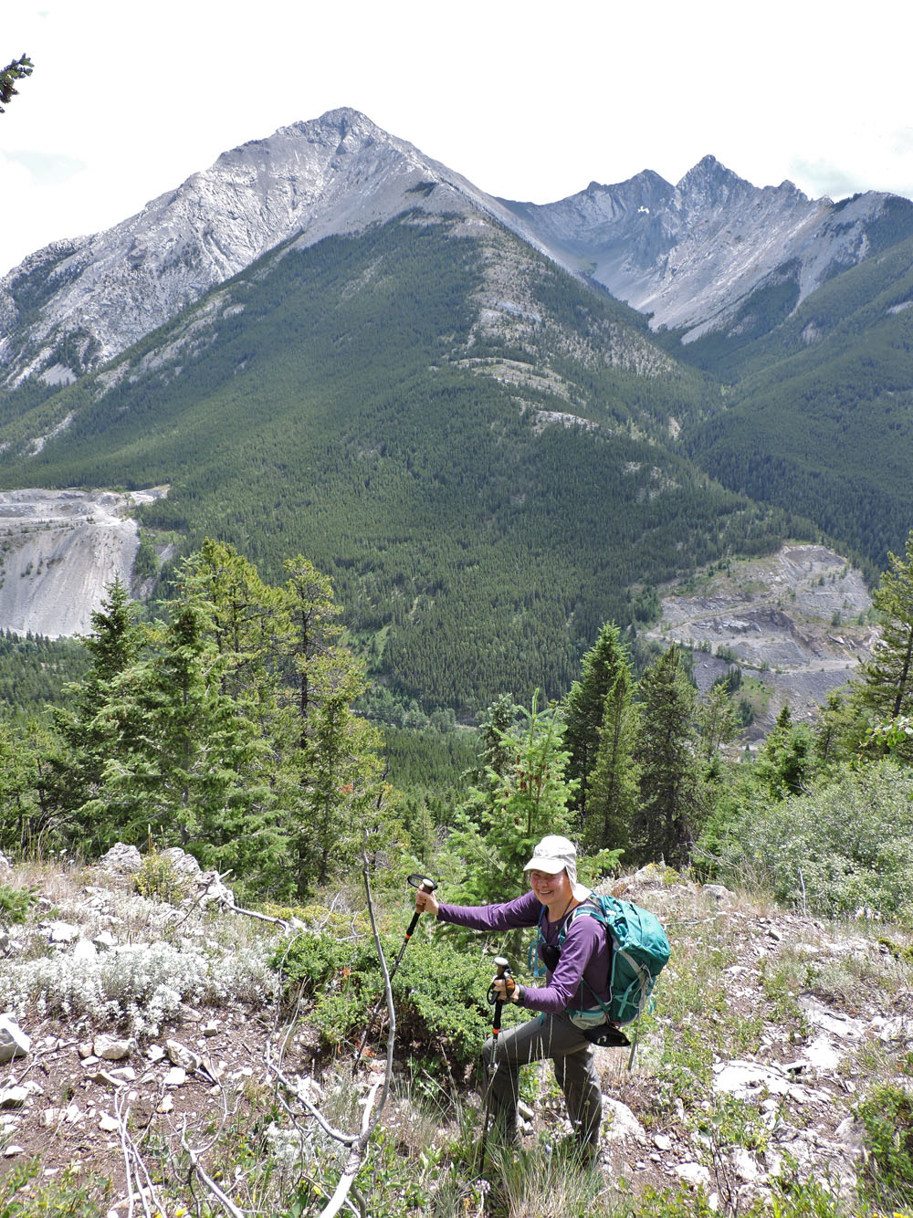
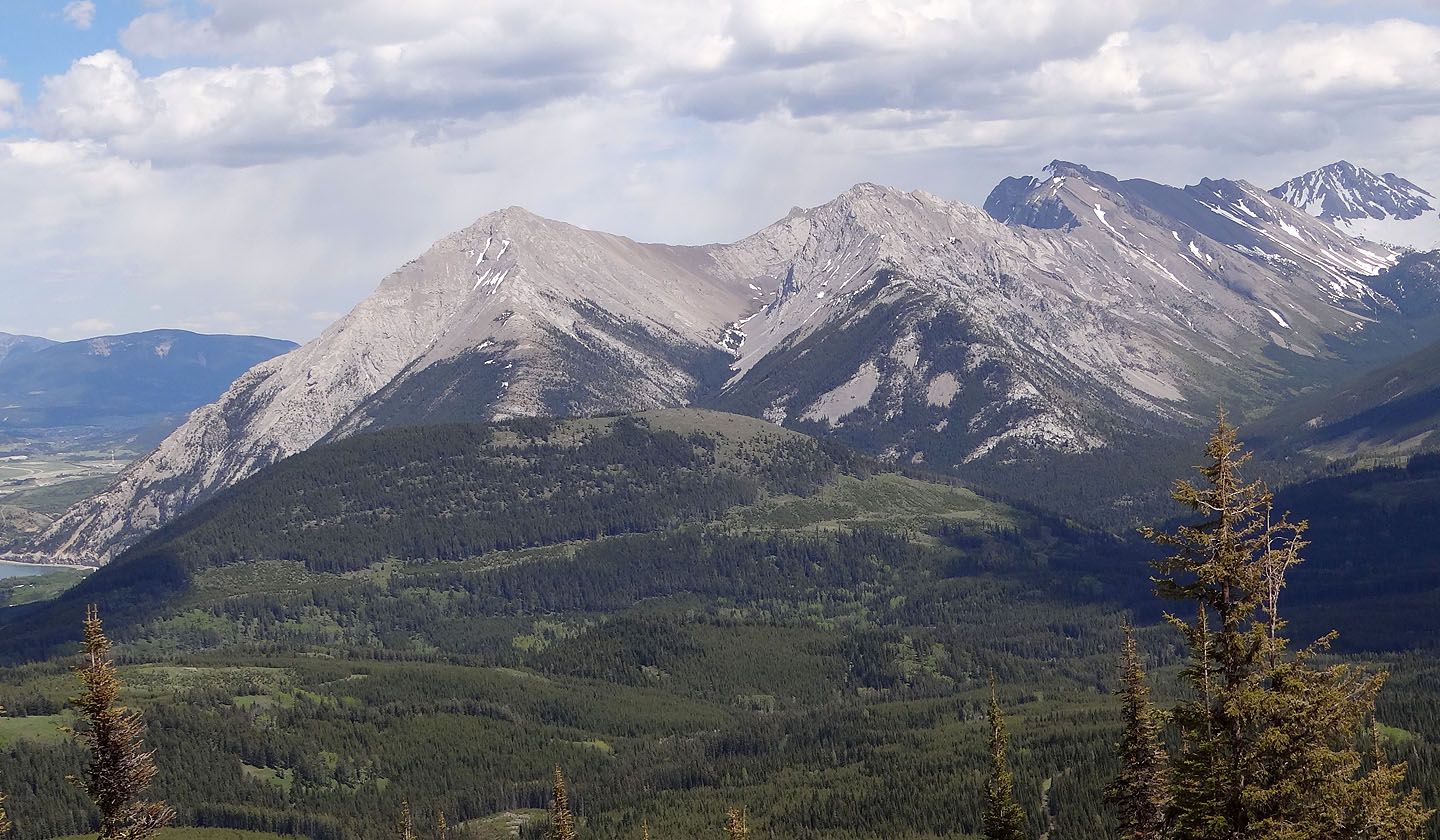
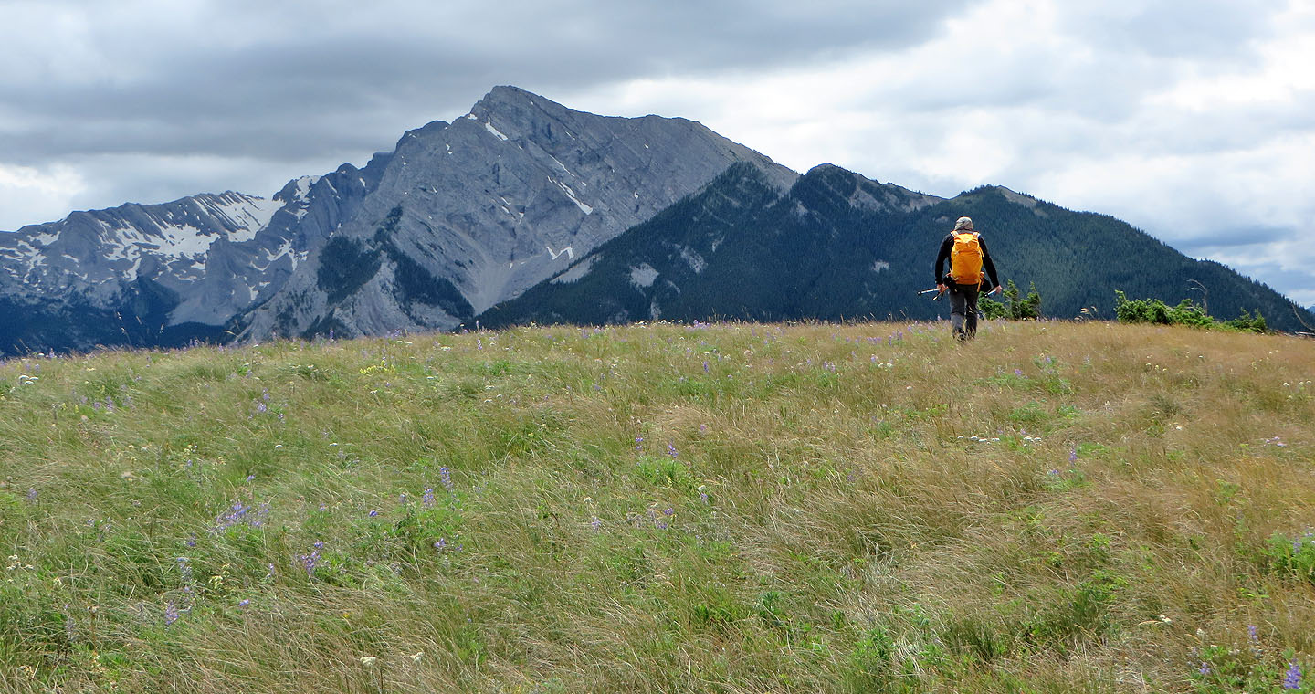
Sentry Mountain in the background
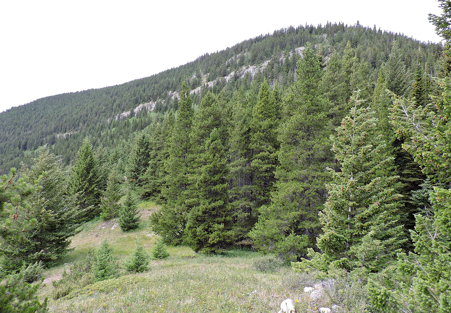
Near the top of the ridge we had trouble finding trails in the trees
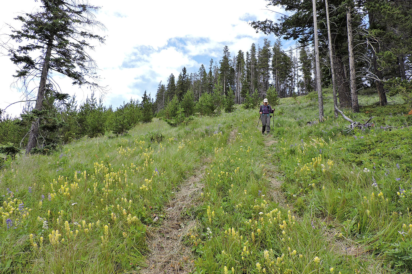
Eventually we found a good path through the forest
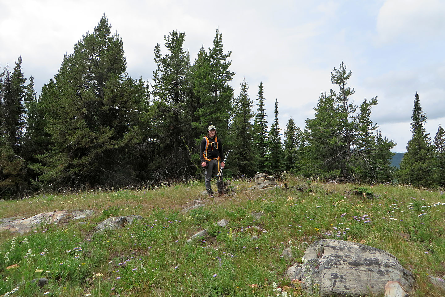
The north summit is 12 m lower than the south summit
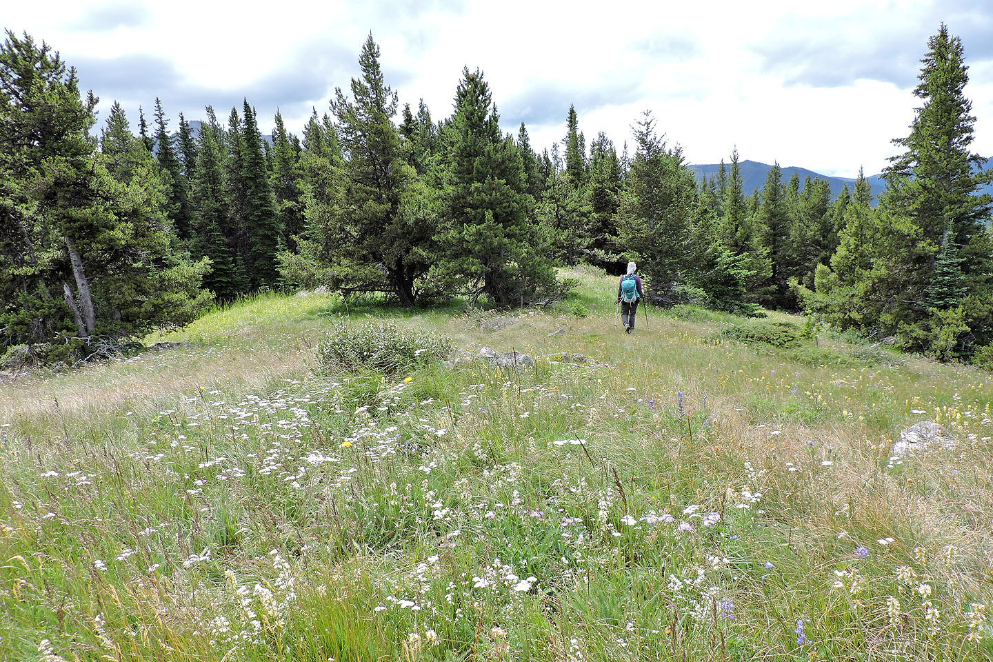
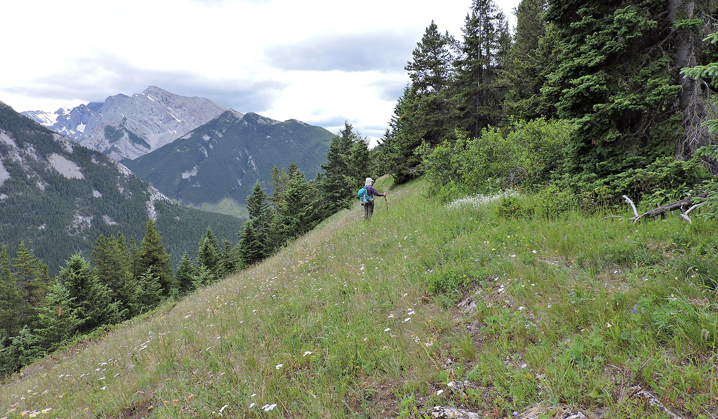
Setting off along the ridge to the south summit
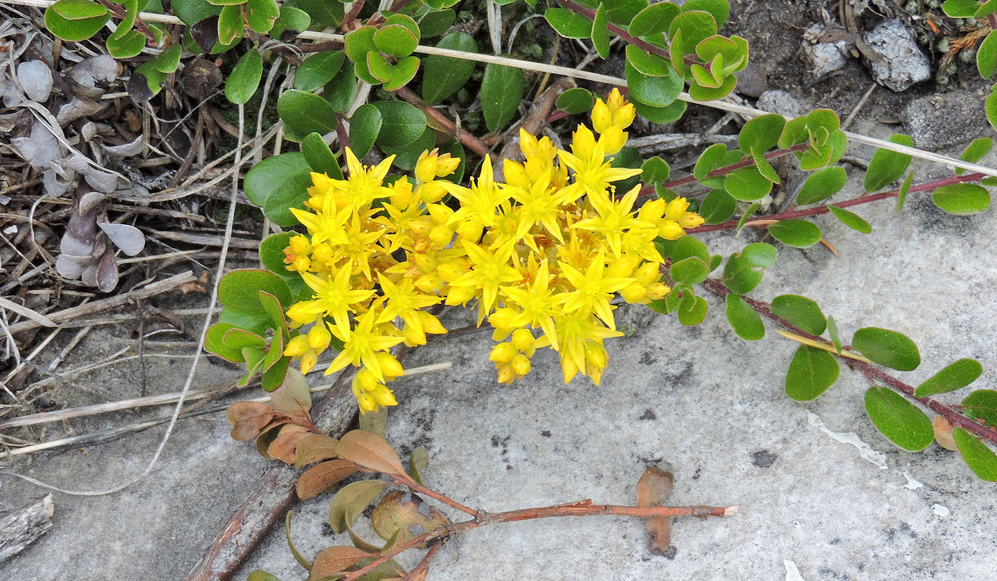
Stonecrop wildflower
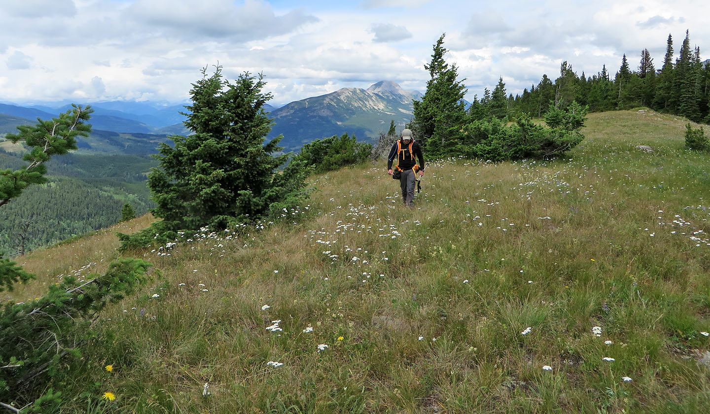
Mount Erickson in the background (mouse over)
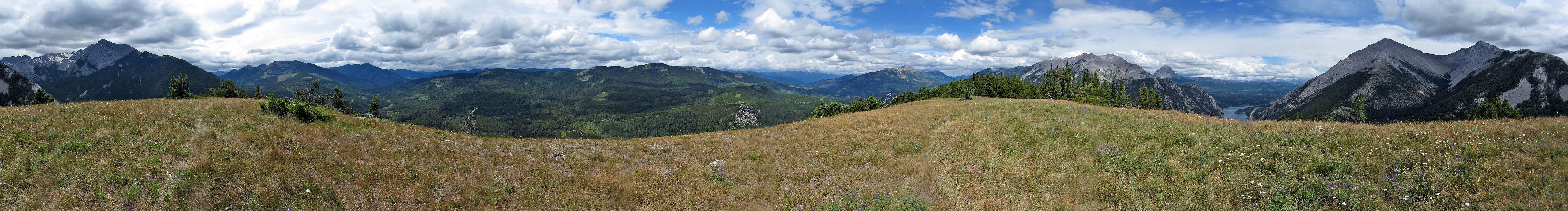
On the broad summit of Island Ridge. The north ridge of Mount Ptolemy fills the view ahead.
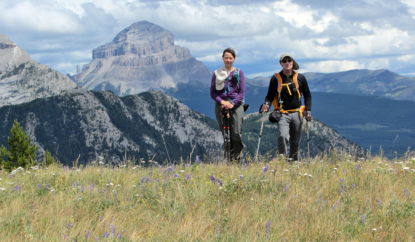
On the summit with Crowsnest Mountain as a backdrop
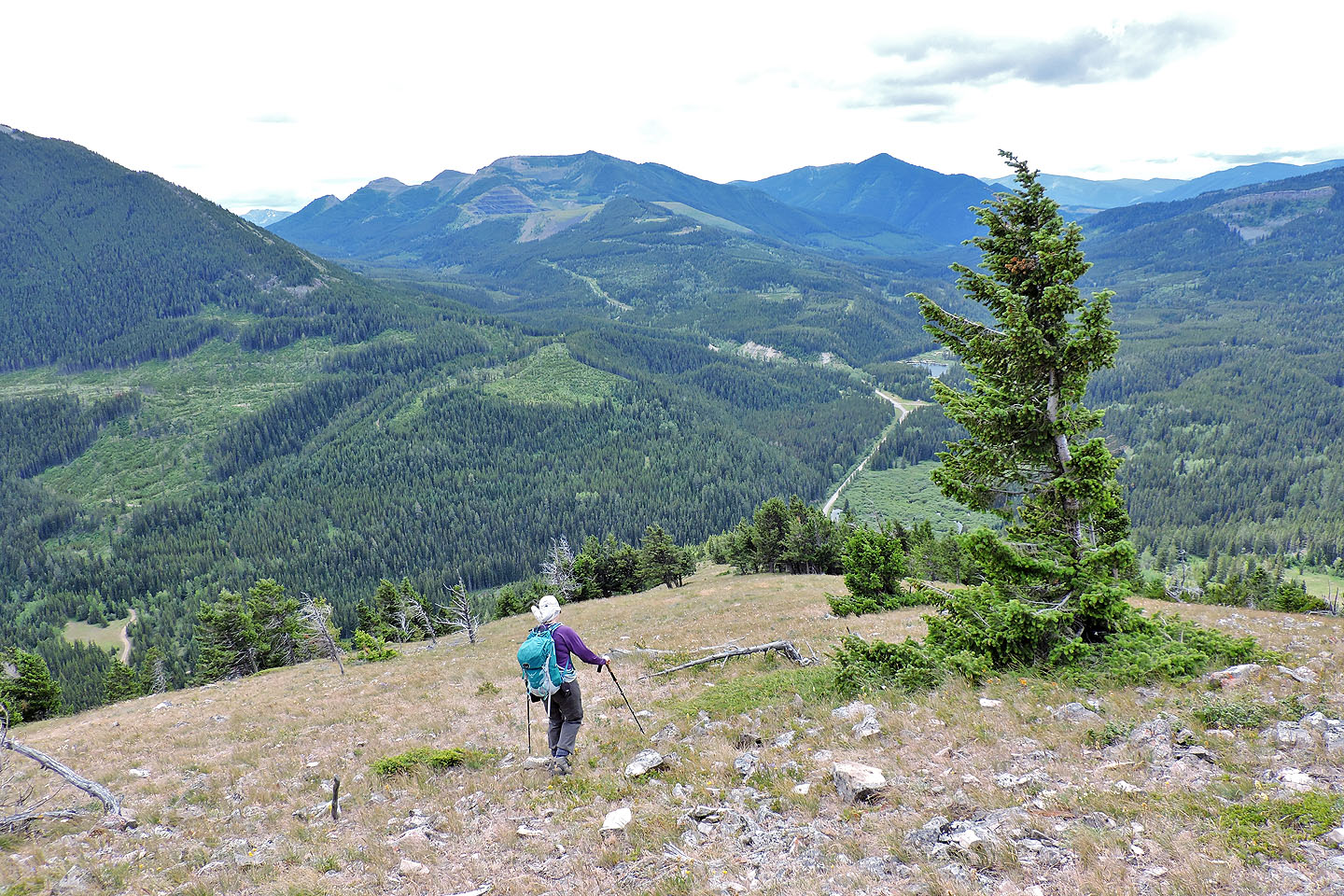 Heading down the south end of the ridge
We followed an ATV trail down before leaving it to bushwhack to the road
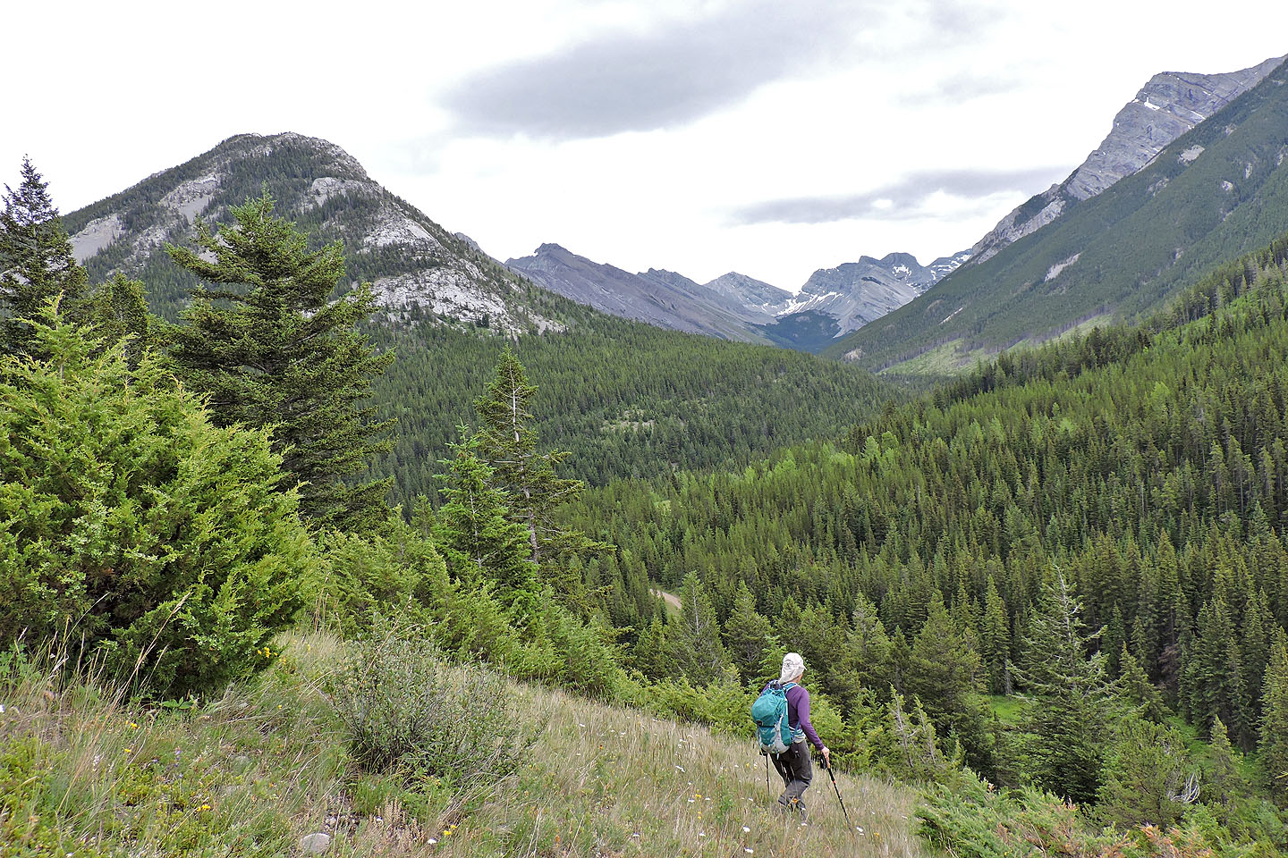
Dropping down to the road