bobspirko.ca | Home | Canada Trips | US Trips | Hiking | Snowshoeing | MAP | About
Horsefly Hill
Racehorse Creek Provincial Recreation Area, Alberta
July 5, 2023
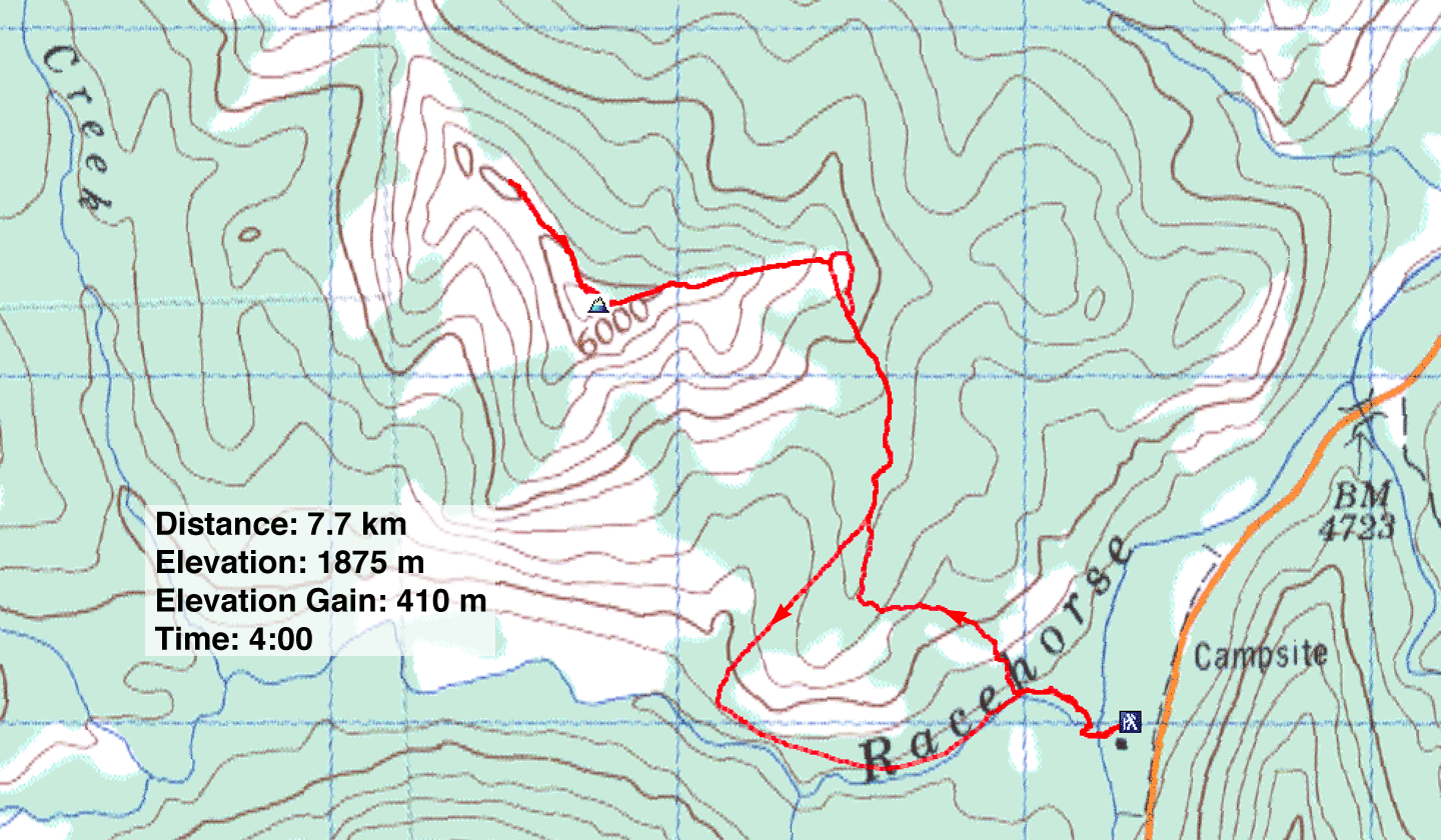
Distance: 7.7 km (4.8 mi)
Cumulative Elevation Gain: 562 m (1844 ft)
Having climbed Racehorse Creek Hill and Fly Hill, I returned to ascend the unnamed hill in-between and dubbed it – fittingly I thought – Horsefly Hill. Despite being slightly lower than the other two hills, Horsefly holds more appeal. It boasts superior summit views and a trail that reaches the summit. The only downside is crossing Racehorse Creek.
I didn't know a trail ran to the top, so I planned to follow creekside trails to the base of the hill where I could bushwhack up to the semi-open east ridge that leads to the summit.
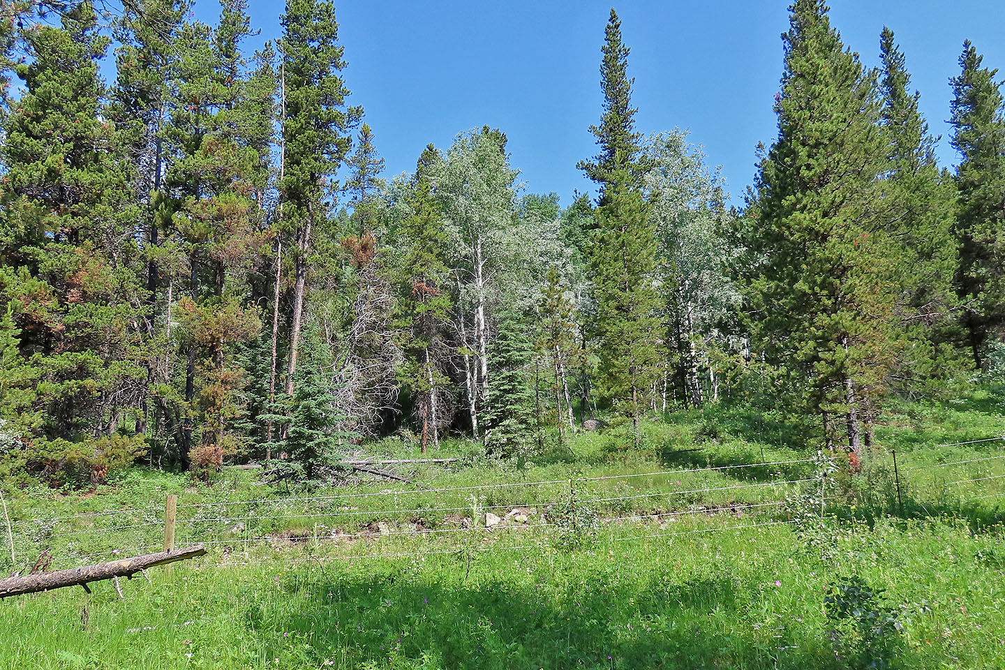
From the day-use parking lot, I walked 80 m to the confluence of Vicary Creek and Racehorse Creek. I crossed the bridge over Vicary and followed a path briefly to where I could ford Racehorse Creek. Not knowing what to expect, I brought hip waders. The water was knee-deep, but later a fisherman told me there was a shallower crossing further up the trail. After crossing, I immediately found a doubletrack trail on the other side. I followed it for 250 m before leaving it to hike up the forested slope. Had I stayed on the doubletrack a little longer, I would have reached an ATV trail and saved myself the trouble of hopping the barbwire fence that lines the trail.
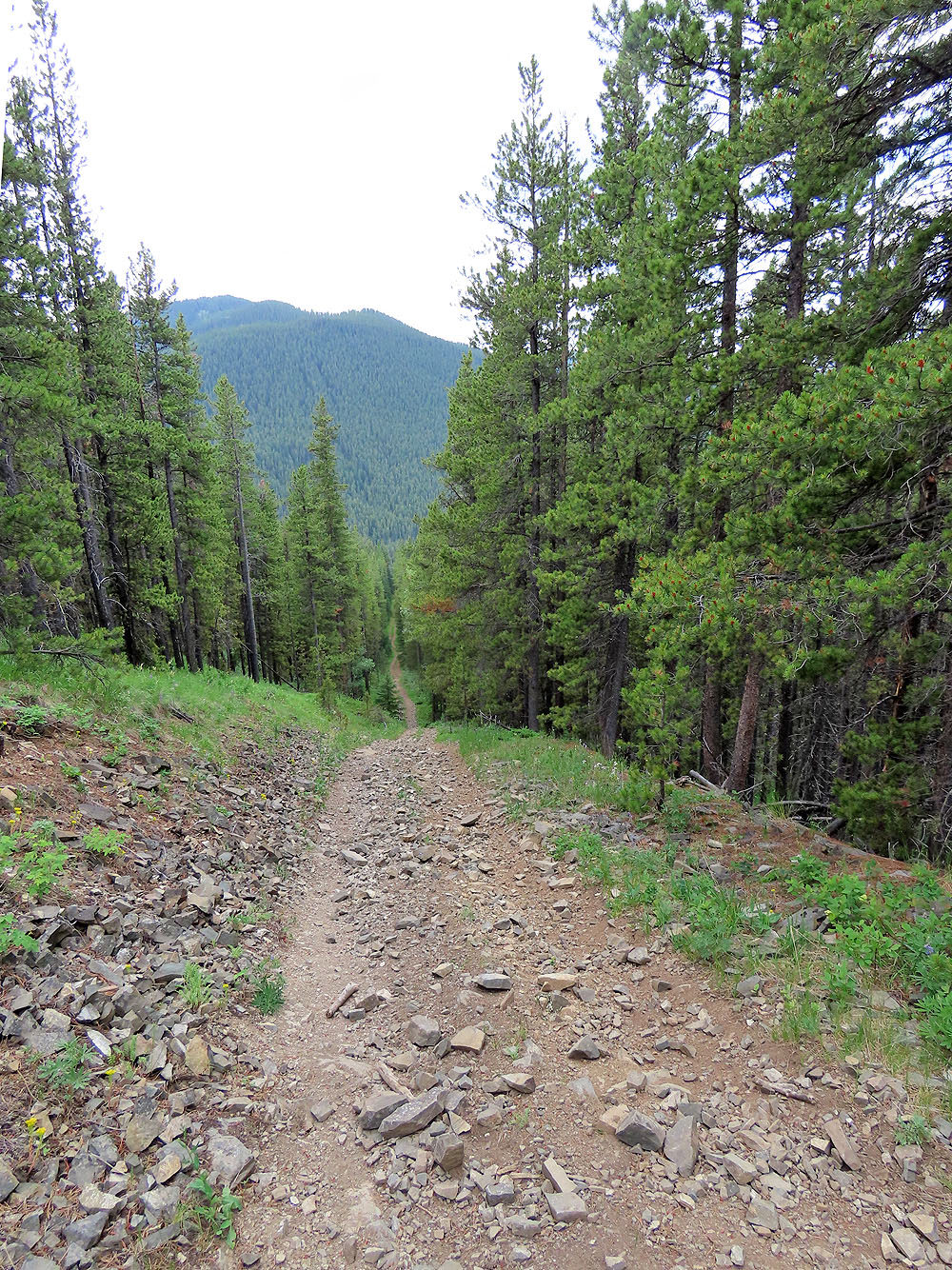
I climbed easily through a light forest interspersed with tall grass and plants. I quickly gained elevation on the steep slope. Then I found a trail. This was no ordinary trail but a signed ATV trail. I followed it out of the trees and up to the summit where I was pleased to find a nearly 360° view.
Despite the creek-crossing, routefinding and time spent setting up my camera on a tripod for selfies, I reached the top in less than two hours. So I ventured another 500 m along the ridge to a bald bump that afforded different views than those on the summit. I was tempted to push on and drop down somewhere to the creek trail, but felt behooved to see where the ridge trail led.
So I returned to the summit and followed the ATV trail all the way down. On the steep sections, I moved to the side because the stones filling the tracks were ground smooth; it was like walking on marbles, very slippery. The ridge trail intersects the creek trail, and I followed trails back to my car.
I learned a lot from my trip. There's little advantage in bushwhacking up the slope, so use my descent route that sticks to trails. After crossing the bridge, follow the south bank trail and look for a shallow creek crossing. On the north bank, you should soon find a doubletrack. Follow it to a gate that accesses the creekside ATV trail. Follow this trail for a kilometre to the ATV trail going to the summit of Horsefly Hill. Then enjoy the panoramic view at the top!
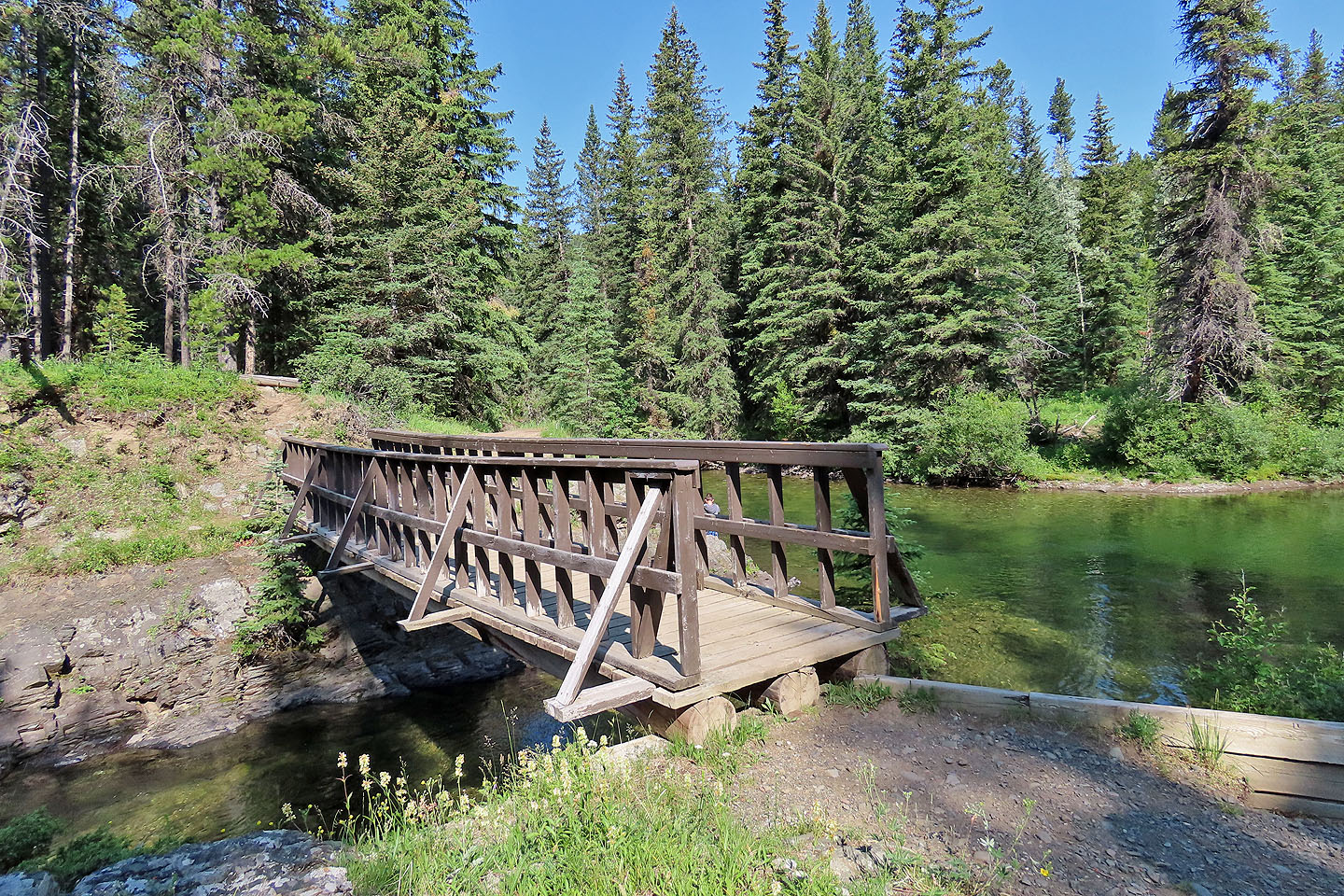
The bridge over Vicary Creek
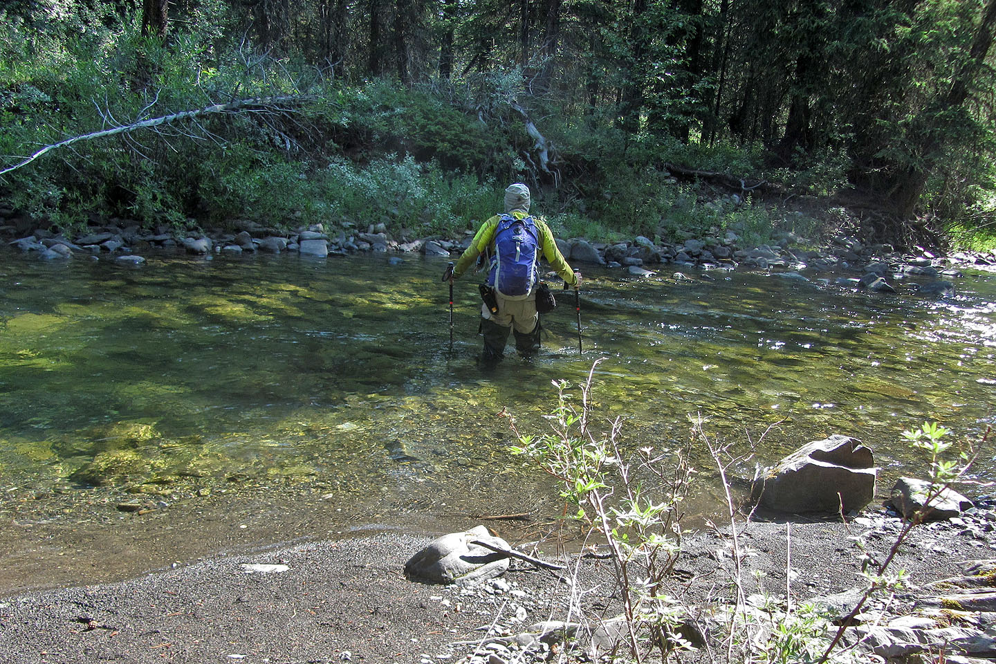
Crossing Racehorse Creek

I followed the doubletrack on the north bank but unknowingly exited before reaching the ATV trail
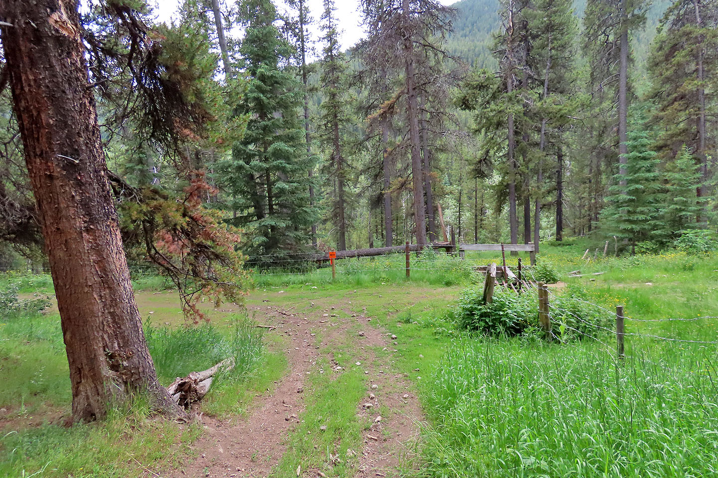
After leaving the trail, I soon came to the ATV trail. Had I continued up the trail I would have passed through a gate and avoided hopping the barbwire fence.
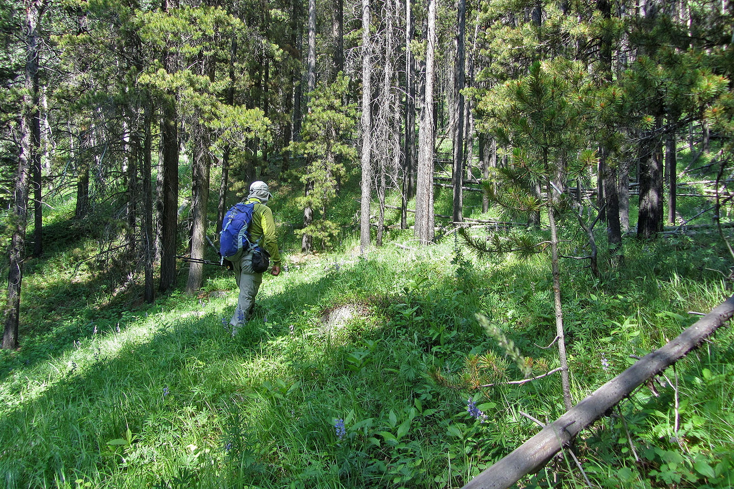
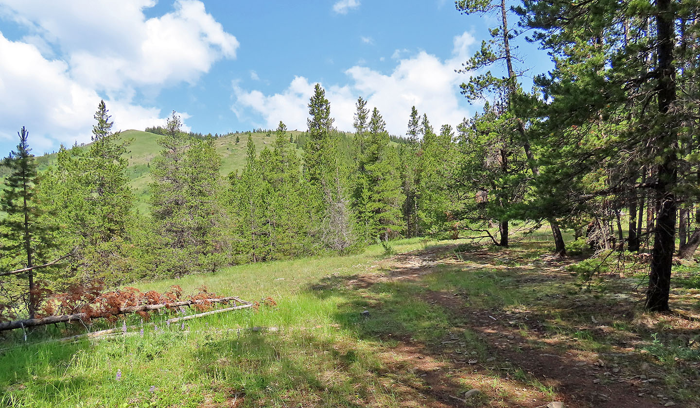
I hiked easily up the thinly forested slope
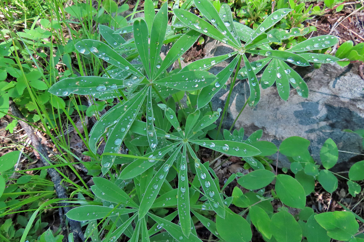
Recent rain left the ground wet
On the ridge, I caught a glimpse of the summit
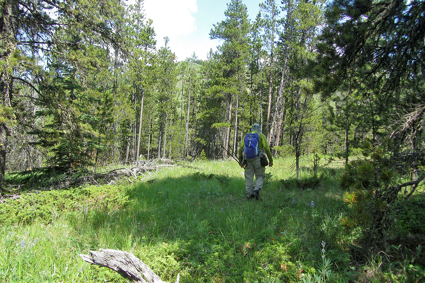
After reaching the ATV trail, I looked back to see Racehorse Creek Hill
I soon got a view of the east ridge
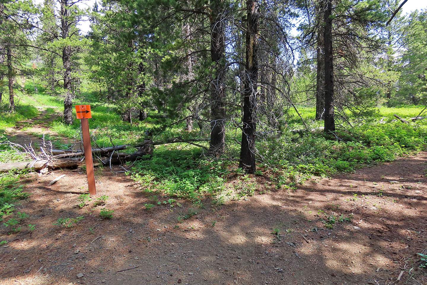
An arrow directs ATVs right. I went up the trail on the right but down the shortcut on the left.
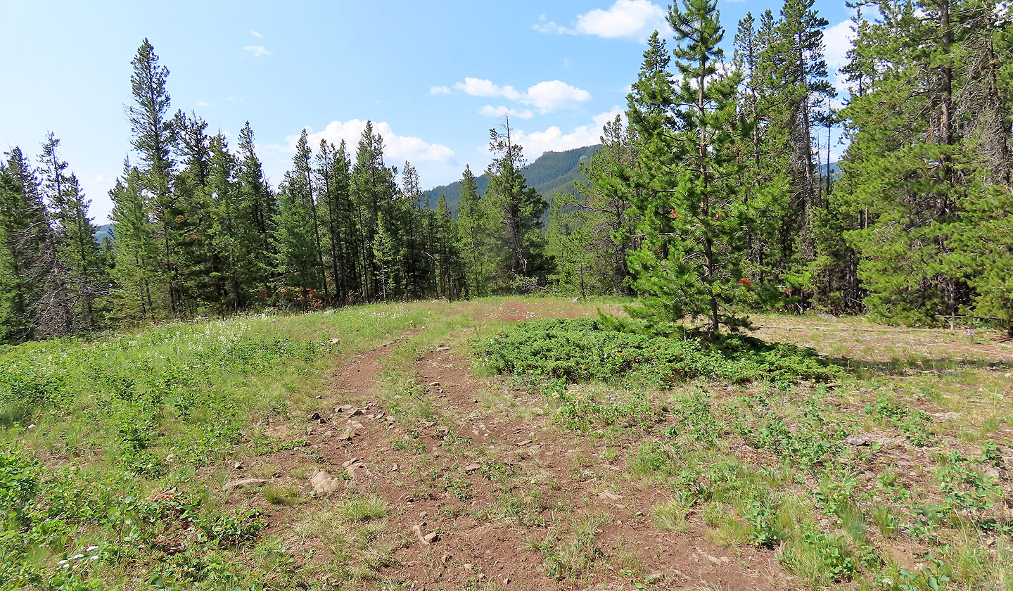
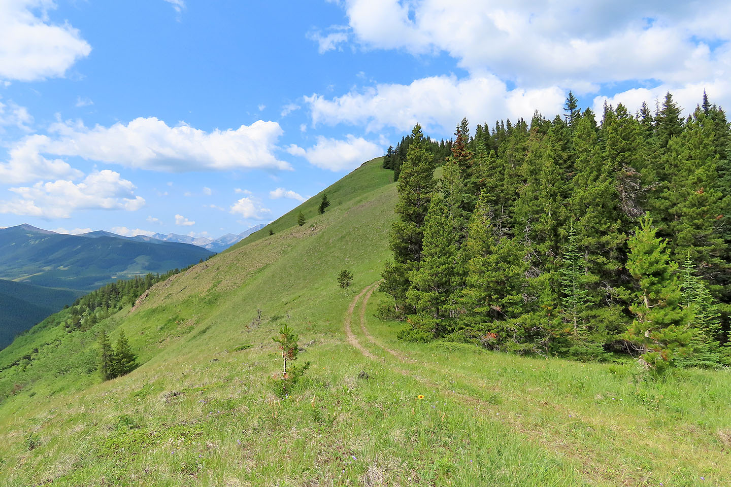
On the ridge crest, the road forks and I kept left
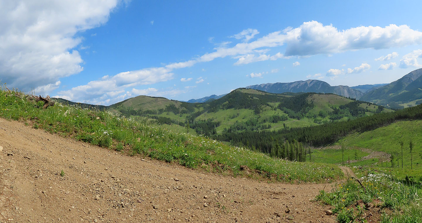
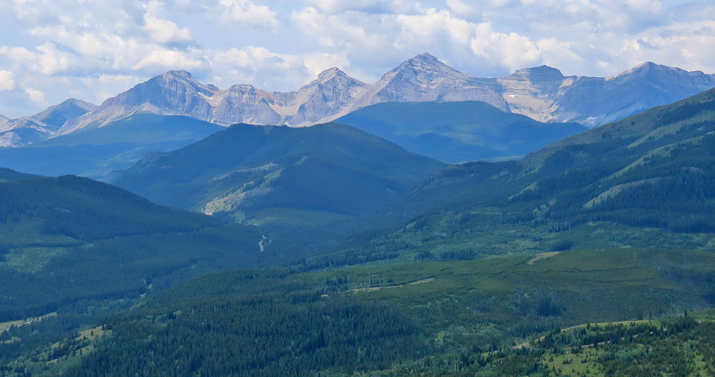
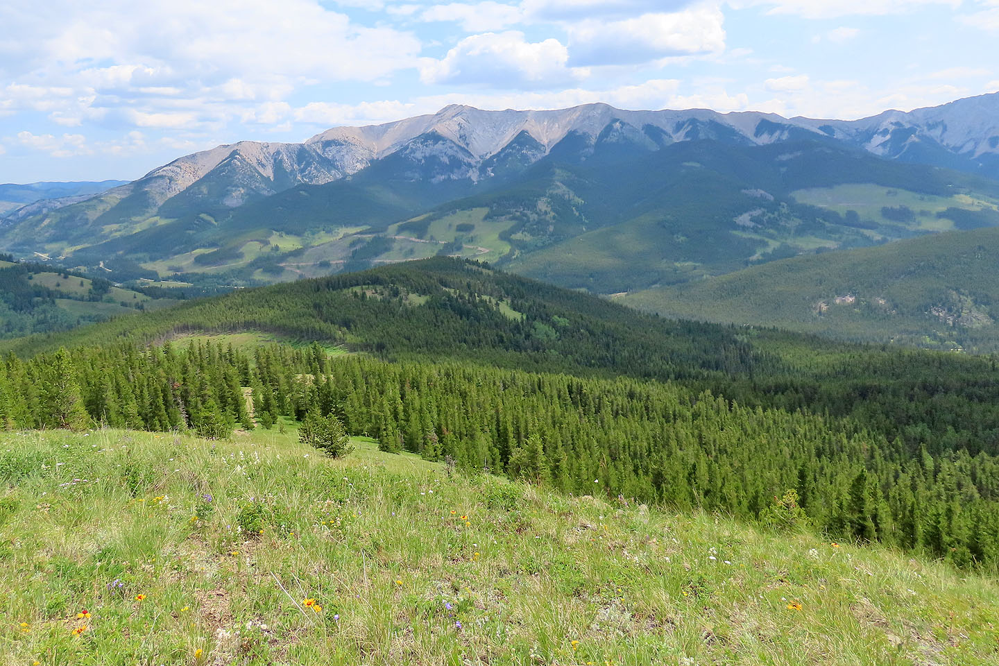
To the east are Thrift Peak, Thunder mountain and Lightning Peak
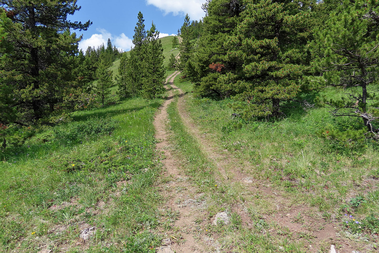
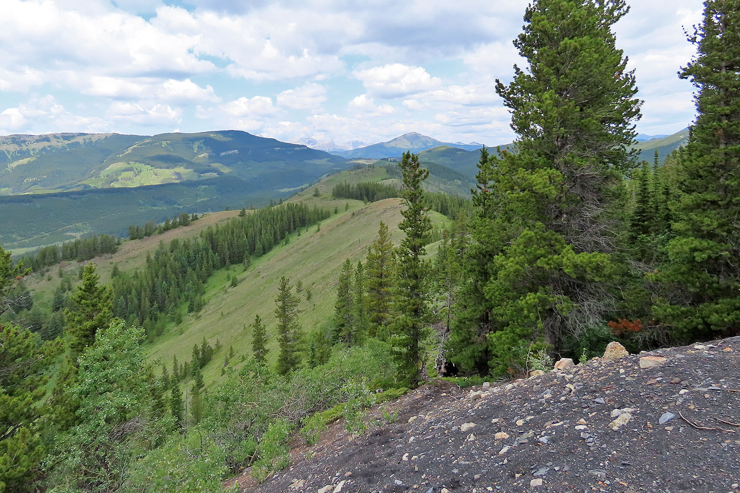
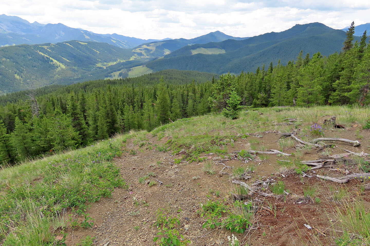
The trail continues up the ridge
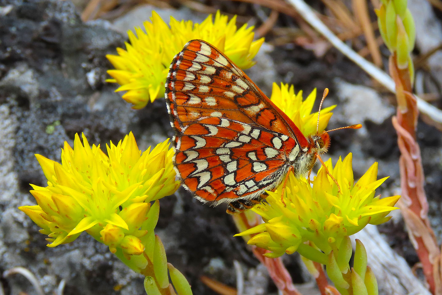
Butterflies and wildflowers abounded. Here a checkerspot feeds on a stonecrop.
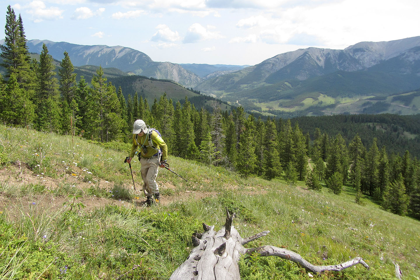
As I climbed, the views opened
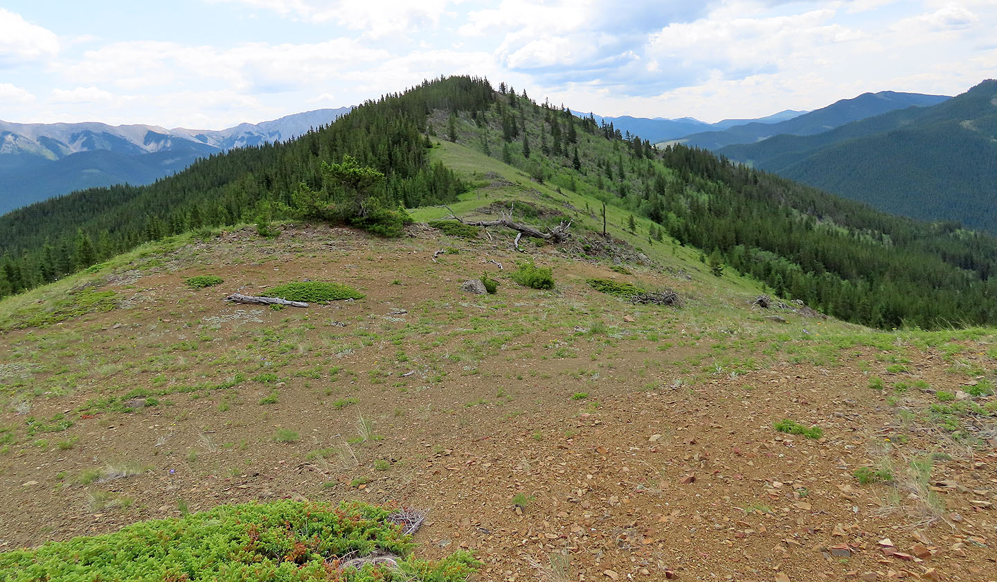
The summit appears ahead
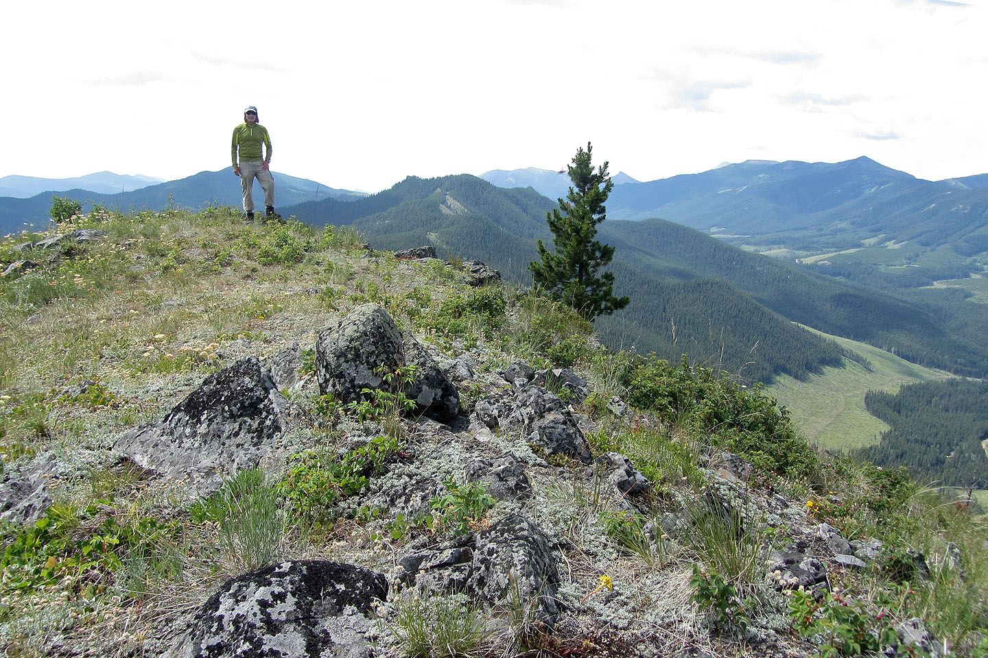
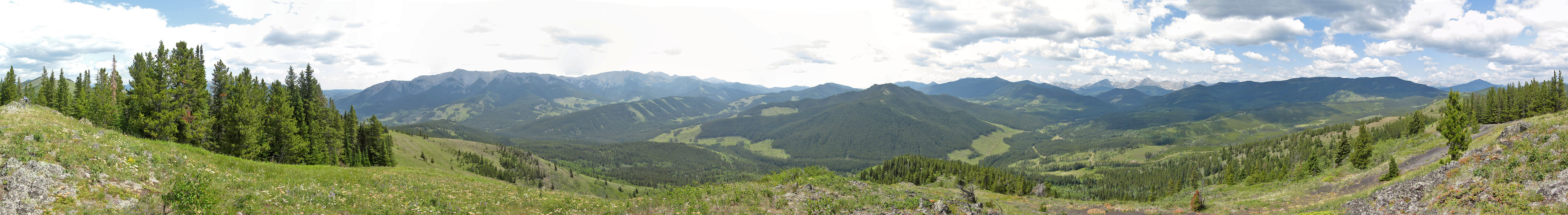
Standing on the summit
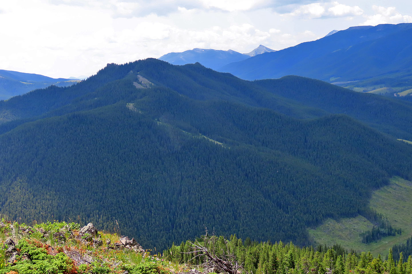
Racehorse Creek Hill lies south. The sharp peak in the background is Ma Butte (mouse over).
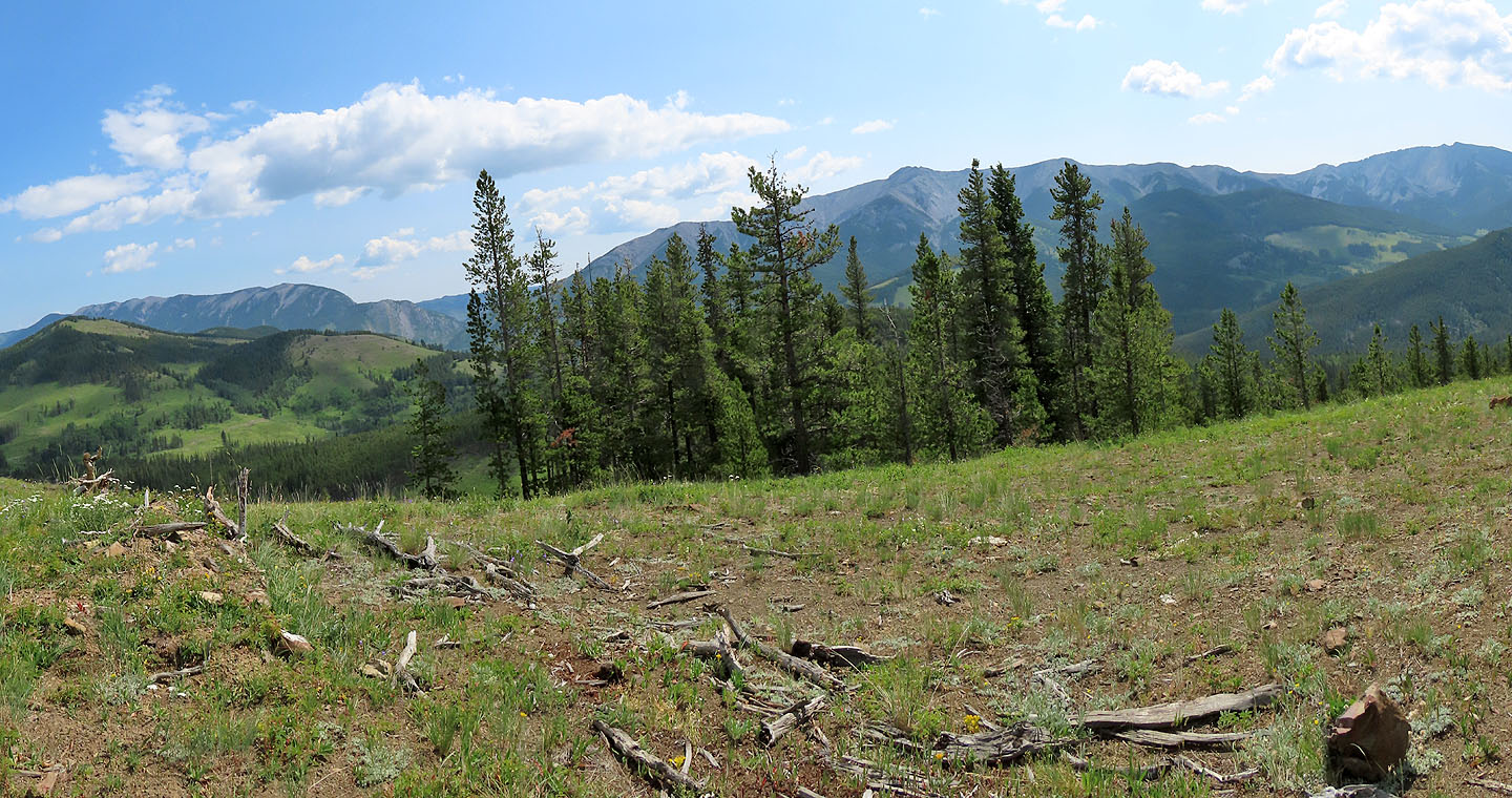
High Rock Range lies west
From the summit, I hiked along the ridge to the bald bump in the centre
Looking back at the summit from the bump
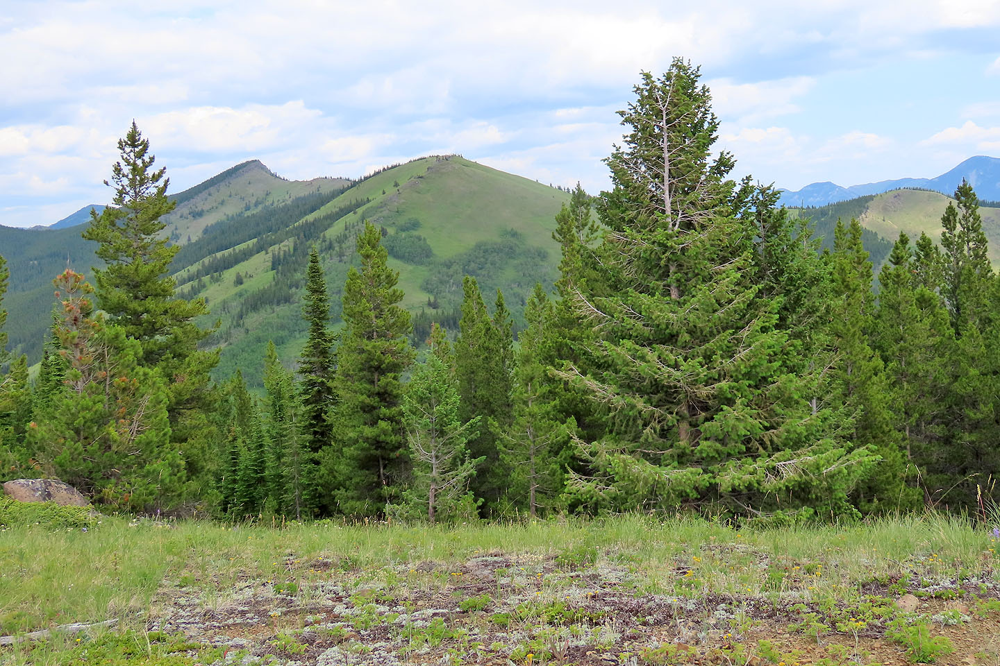
Unlike the summit, the bump offered a clear view of Fly Hill
Heading back down down, I had a beautiful view of Thunder Mountain (mouse over to see the summit)
On the descent, I took the shortcut that I had avoided earlier
I followed the trail down to Racehorse Creek
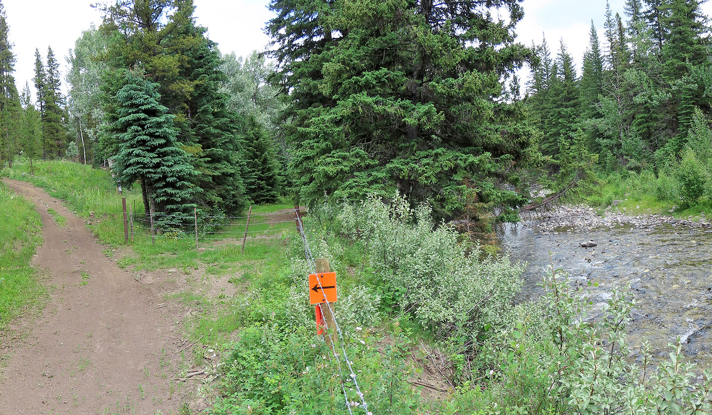
The hill trail meets the creekside trail
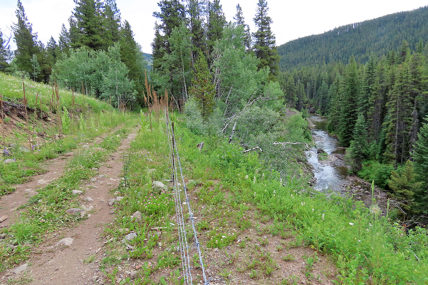
The trail runs high above Racehorse Creek
After following the ATV trail, I came to a cattle gate that leads to the doubletrack
 82 G/16 Maycroft