bobspirko.ca | Home | Canada Trips | US Trips | Hiking | Snowshoeing | MAP | About
Fly Hill
Oldman River Area, Alberta
June 18, 2017
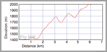
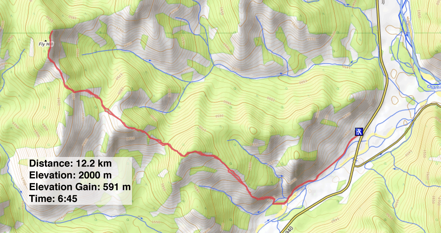
Distance: 12.2 km (7.6 mi)
Cumulative Elevation Gain: 944 m (3097 ft)
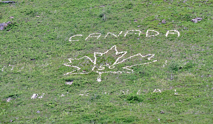
Canada is turning 150 this year, and I can’t think of a more fitting hike to celebrate it than Fly Hill. No other mountain around bears a display like the one emblazoned on Fly’s hillside: a maple leaf bordered with “Canada 1867-1967 Centennial.” Anyone who has climbed Thunder Mountain is sure to have seen this 70-foot-tall array in stone. And recently “150” was added to the display. I know this because that number wasn’t there two weeks earlier when I attempted Fly Hill; I quit when I met a beautiful blonde in a meadow – a foraging black bear with pale golden hair.
Fly is a mean little hill. After two high points along the ascent ridge, there are big drops – 90 m and 75 m. But on a positive note, good trails lead to the base of the ridge, and the ridge is generously supplied with meadows, keeping bushwhacking to a few brief stretches. The entire trip is just a hike. Joining me were Zora Knezevic and Christine McNamara.
To get there, drive south on Hwy. 22, cross the Oldman River bridge and immediately turn right. Drive past Maycroft to the Hwy. 40 intersection. Turn right, cross the bridge, and then left onto a steep, rough road. We parked at the top, but an SUV can continue 800 m down the rutted road to the trailhead.
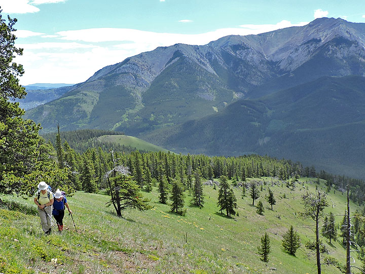
The trail starts on the other side of a fence, but instead of using the gate, walk around to where there’s an opening. The path climbs before levelling off, running 20 m above Racehorse Creek and 30 m below the centennial display. The trail then drops down level with the creek and seems to end at a side stream. A narrow path continues on the other side. We followed the path to a glade on our right. After crossing the glade, we picked up a trail in the trees and followed it to where it intersects an ATV trail. After turning right, the open slopes of the ascent ridge appeared ahead. We started up.
Because of trees higher up, there is little benefit to gaining the ridge right away. We angled left up the slope, keeping left of a couple of huge trees, the first rises above a gully, and the second is near a large fallen tree. After passing the second tree, we took a steeper angle up.
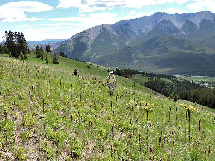
In a short time, we reached a grassy bench that stretched to our next objective: the first high point. As we strolled along the bench running above an expansive meadow, we kept an eye out for bears, yelling as we went. However, we saw no bears, blonde or otherwise.
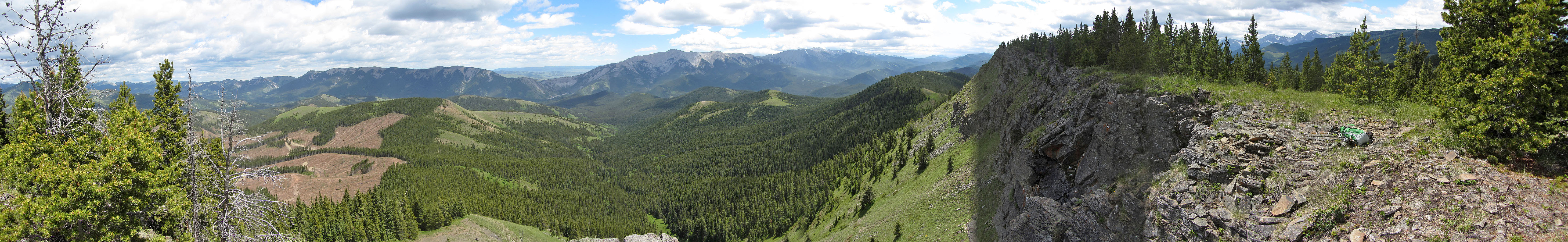
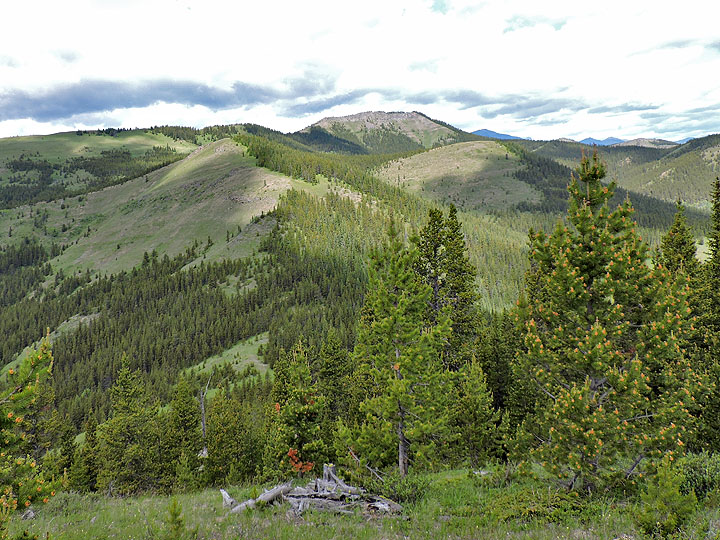
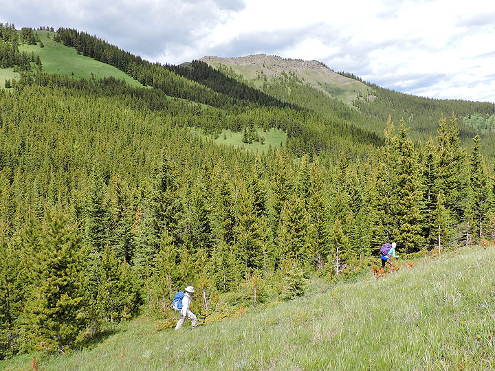
Finally we reached the first high point and caught sight of the summit of Fly Hill, a rocky ridge that bears no semblance to a hill. But our immediate focus was the drop down a steep slope in front of us and the hike up an intervening bump: the second high point. From the second high point, we faced another drop, less steep but with more bushwhacking. We pushed through 200 m of forest to reach a series of clearings going up.
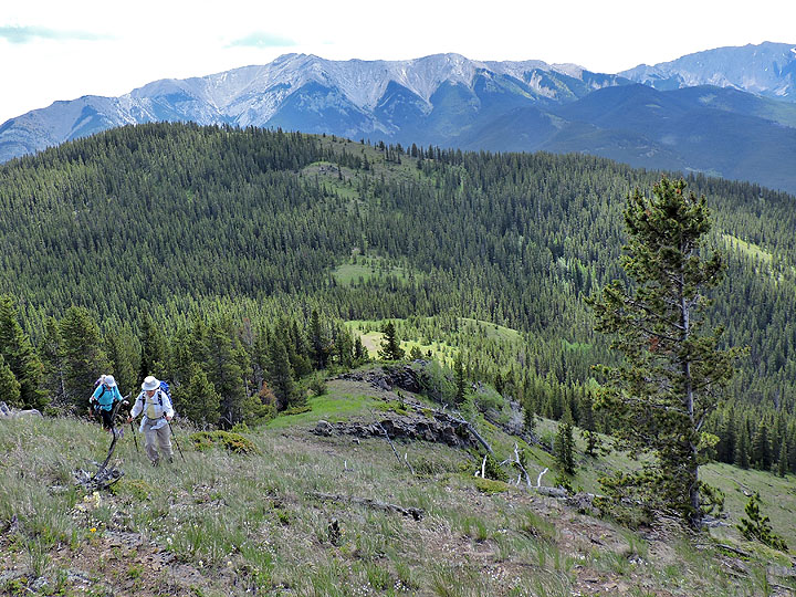
South of the summit ridge, separated by a col, is a treed ridge. It’s possible, perhaps even preferable because of fewer trees, to ascend to the top of this ridge and follow it down to the col. However, our shortcut worked well. After hiking up the clearing, we ducked into the forest below the crest and as luck would have it, followed an animal trail almost to the col. After breaking out of the trees on the col, the summit ridge of Fly Hill lay ahead. A cliff band flanks it, but a steep chute provides a walk-up to the crest.
We followed the ridge crest, passed the summit, and continued to the north end where there is a cairn. Since trees encroached on the summit, it made more sense to relax here. We might as well rest as we still faced those two substantial climbs when we retraced our steps back to the trailhead.
If ever there is a good time to climb Fly Hill, it would be this year, 2017, when the "150" displayed on the lower slope matches Canada’s current birthday. Or you can wait until 2067, Canada’s Bicentennial when they change the display to “200.”
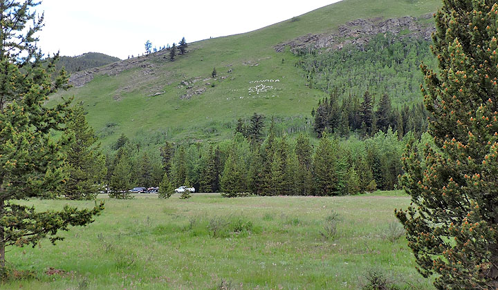
The Canada Centennial display seen from Hwy. 40
The display has received an update and a face-lift (mouse over to see it two weeks earlier)
The first "N" in CENTENNIAL is over six feet high and sits 30 m above the trail
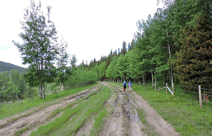
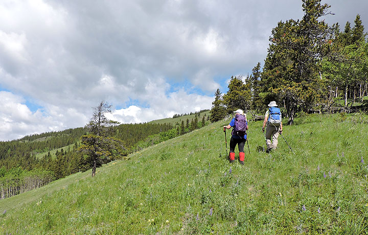
Setting off down the road
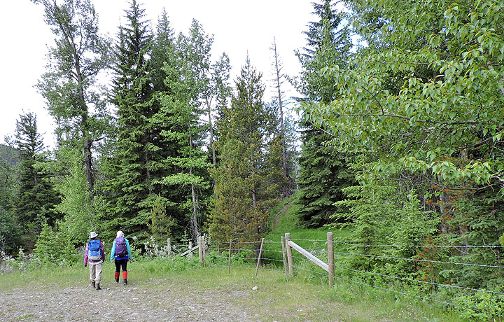
The road ends at a fence, but you can walk around to an opening on the left side
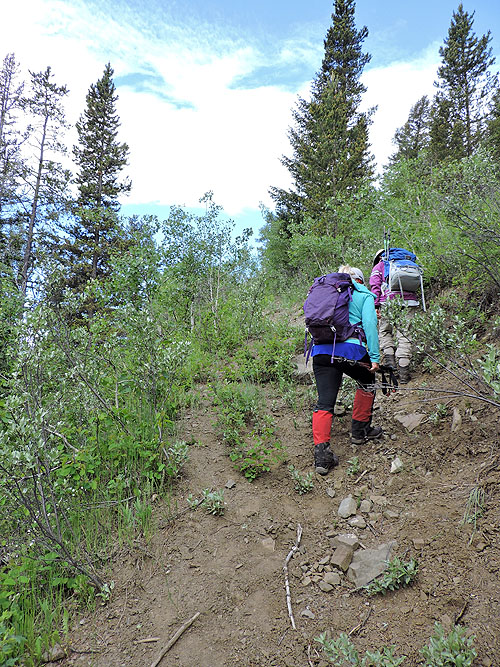
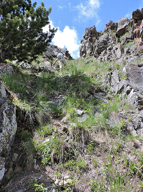
The trail begins with a short, steep climb
Above the trail a worker is using a weed whacker to clear the display
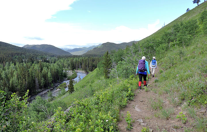
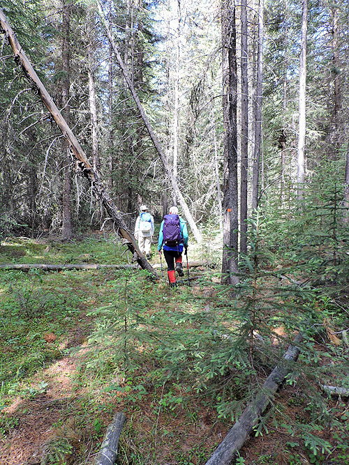
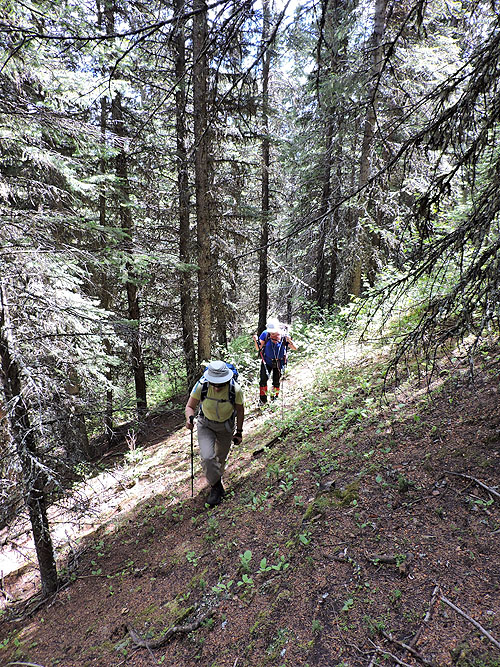
The trail runs above Racehorse Creek
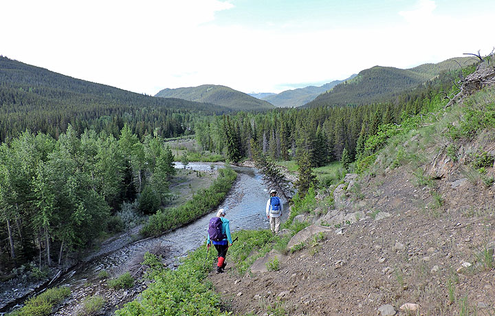
Then it drops down on the other side
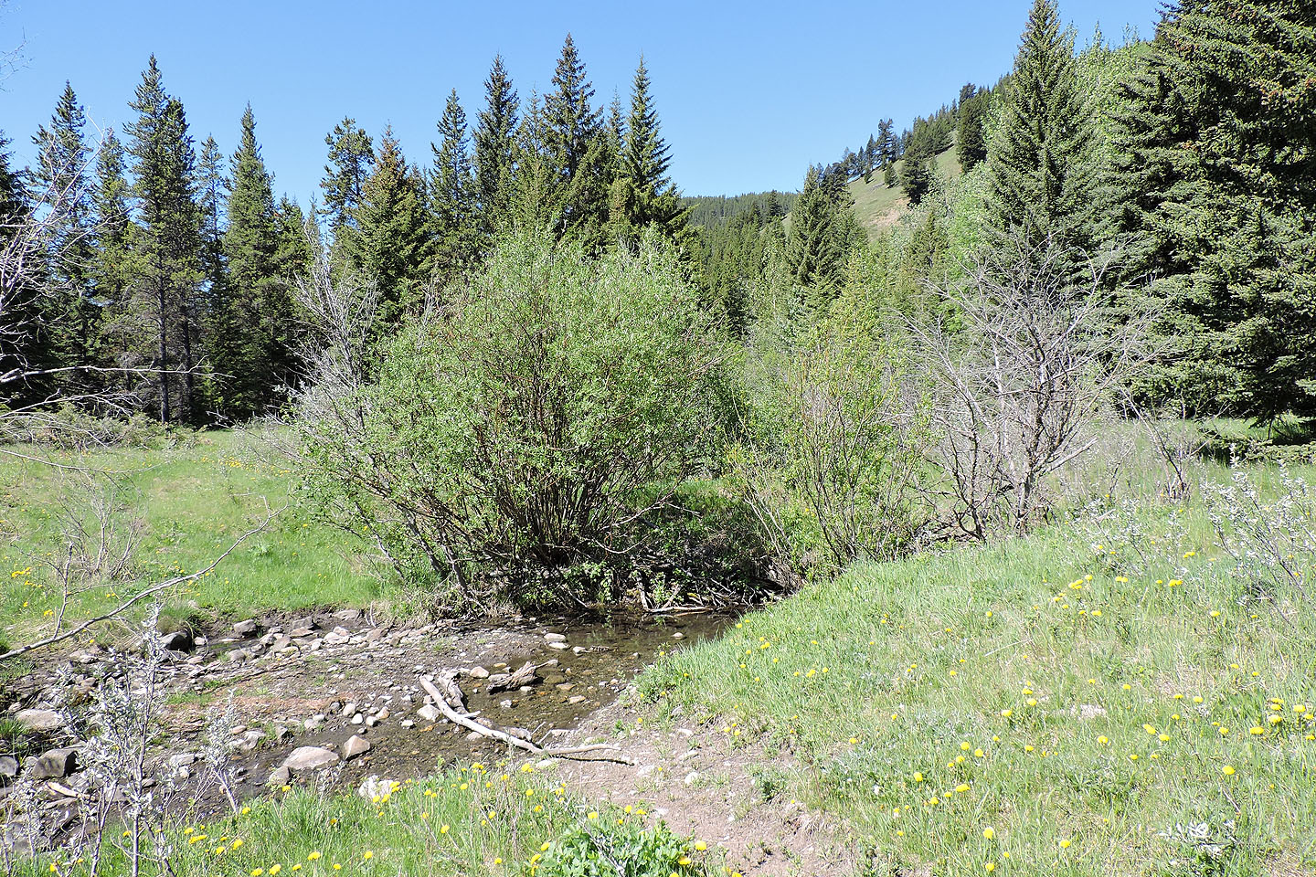
The trail is replaced by a narrow path after this side stream. The open slopes we want to reach are in the upper right of the photo.
After following the narrow path, we left it, crossed a glade and found this trail
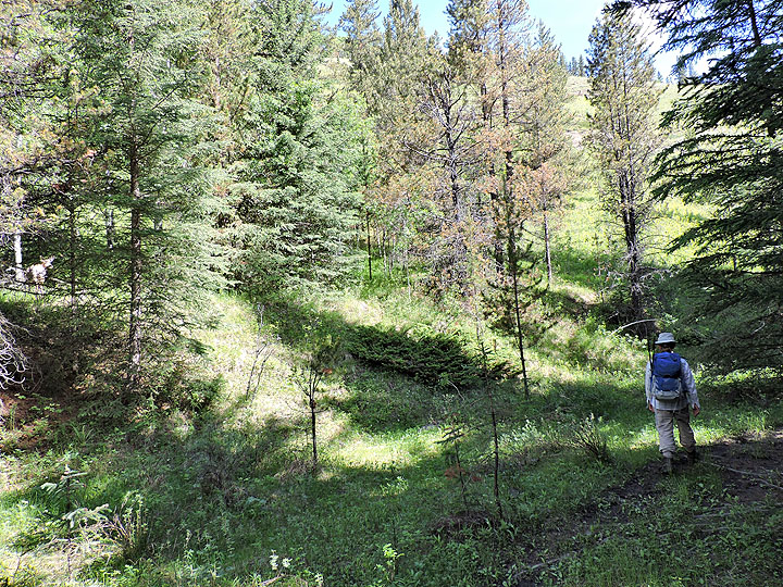
The trail ends at an ATV trail. We turned right and followed it a short distance to the open slope ahead. A half-hidden deer on the left watched us (mouse over).
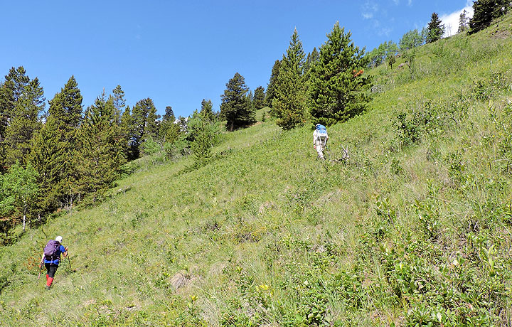
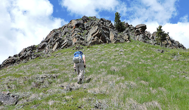
We started angling up the slope
Looking back
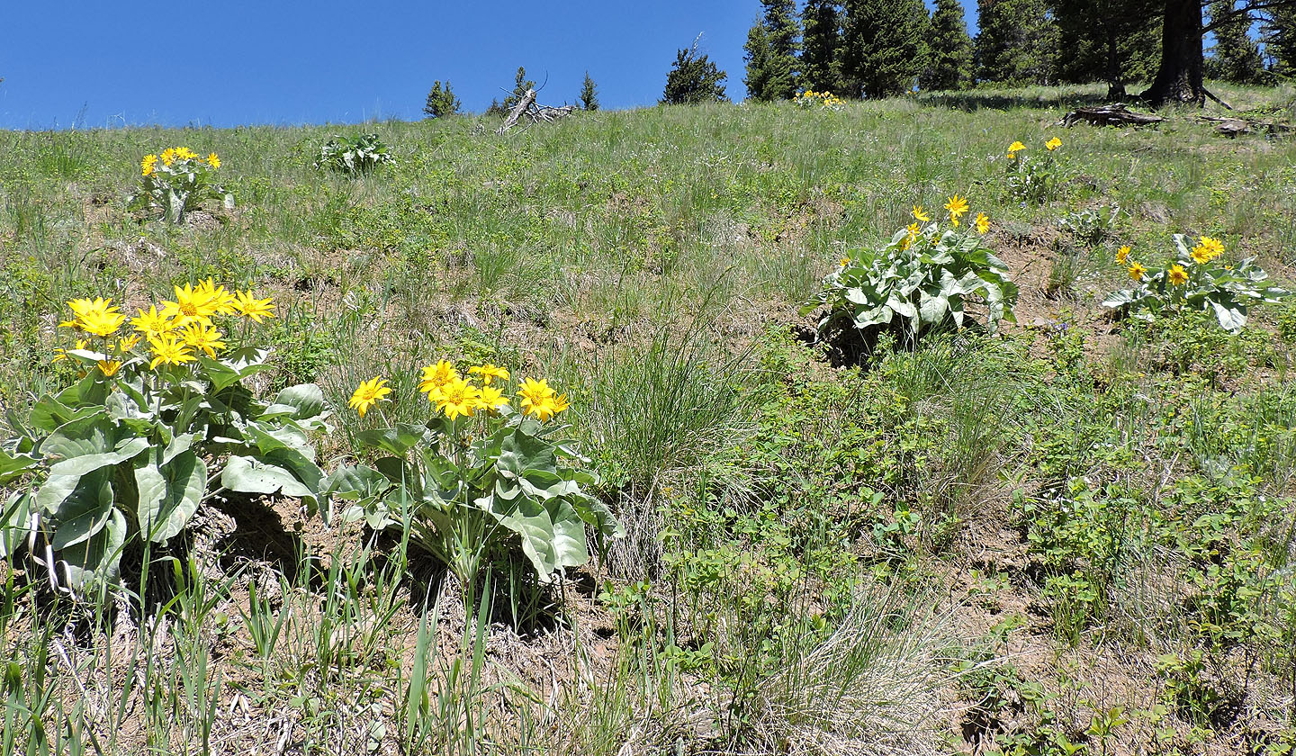
Balsamroot flowers brighten the hillside
We made our way to the open slope in the centre
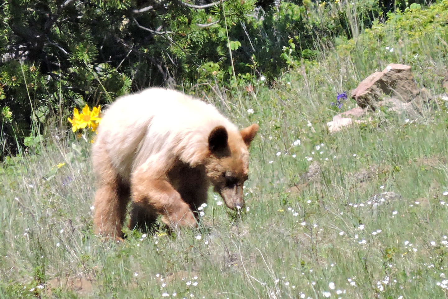
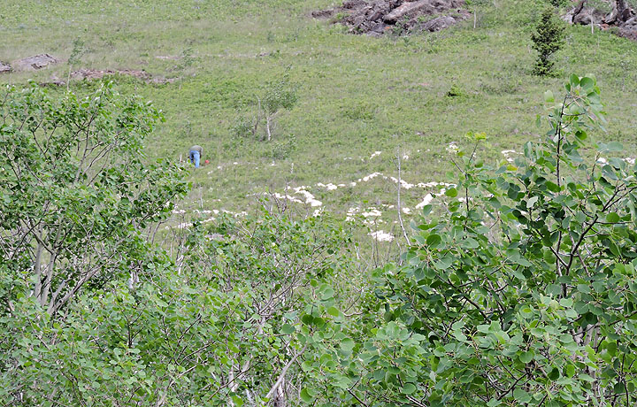
On my attempt I saw this black bear foraging in the meadows below the bench
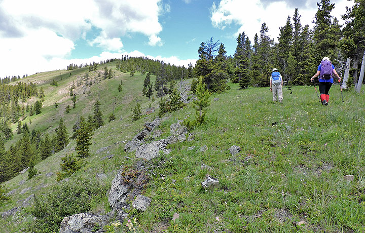
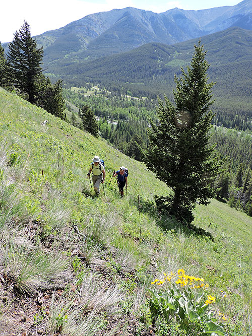
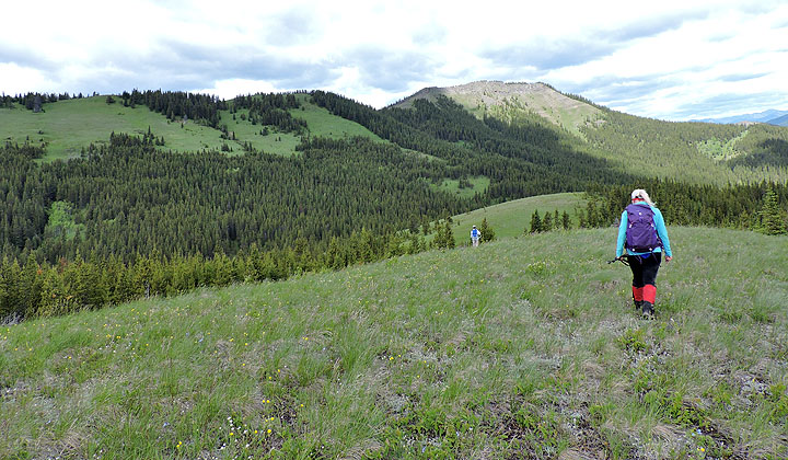
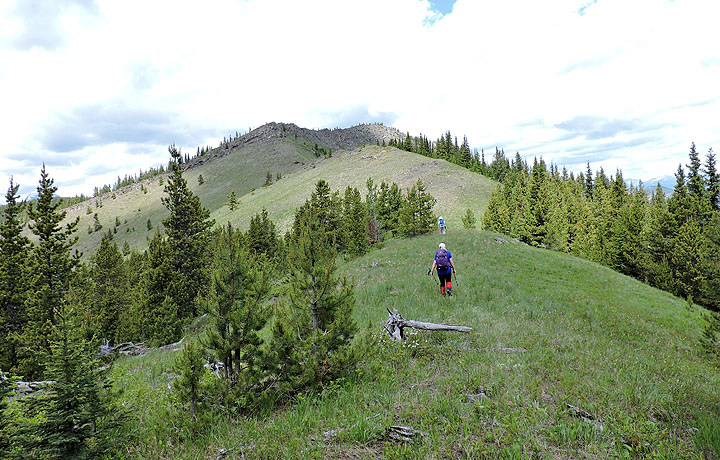
We followed a bench, heading to the first high point on the far left
Looking back from well above the bench
Almost at the first high point
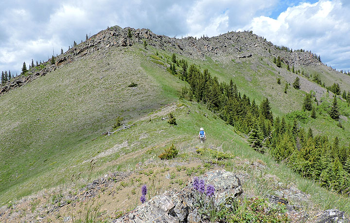
Looking at the second high point from the first. Fly Hill is in the centre.
Looking back at the first high point as we neared the top of the second
The summit seen from the second high point
We bushwhacked 200 m to the heart-shaped clearing and then started up the clearing that runs to the ridge crest. Before reaching the crest, we ducked into the trees and made our way to the col. (Mouse over for our route)
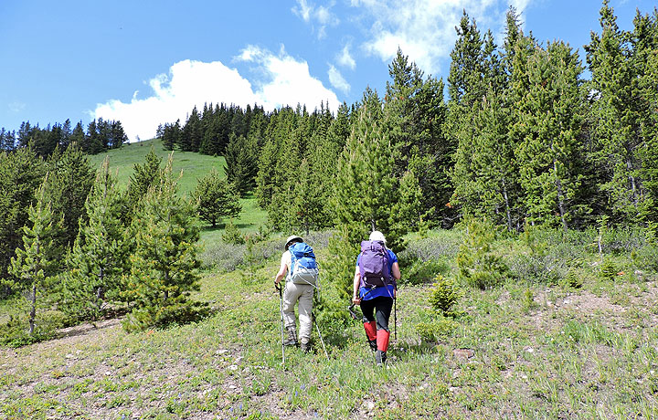
Hiking up the long clearing
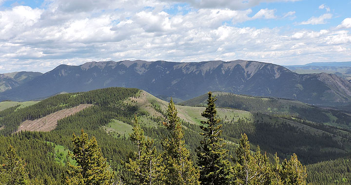
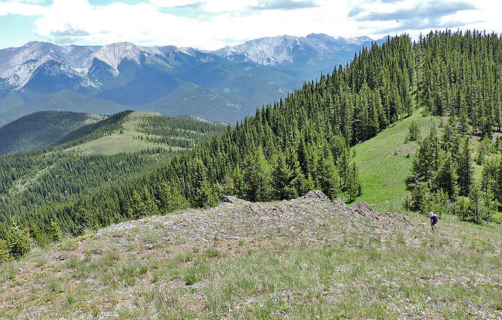
Looking back at the second HP. Thunder Mountain in the background.
After leaving the clearing we followed an animal trail almost to the col
The summit ridge from the col
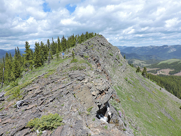
The summit is in the middle of the ridge, but the cairn is at the end on the right
The cliffs appear formidable but behind the tall tree is a walk-up chute
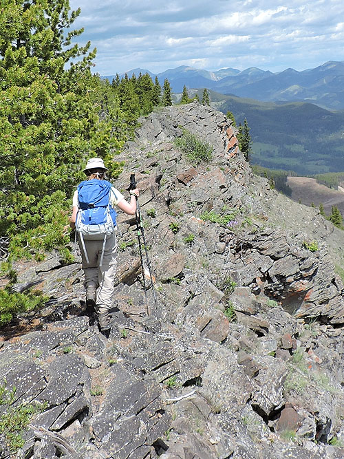
Zora hikes up the steep chute
Thrift Peak lies east. Mouse over to see Livingstone Lookout on the summit.
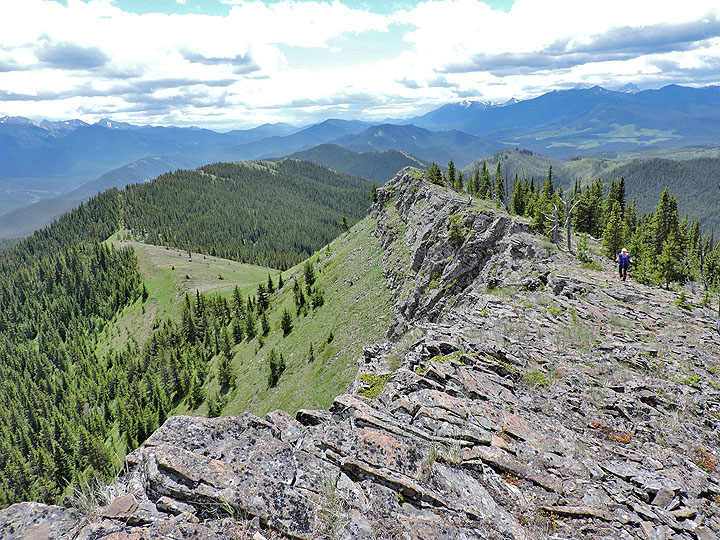
Heading to the summit of Fly Hill
Looking back. We came out of the trees at the col, but the corridor in the trees on the crest looks attractive. Indeed, we noticed a trail running along it.
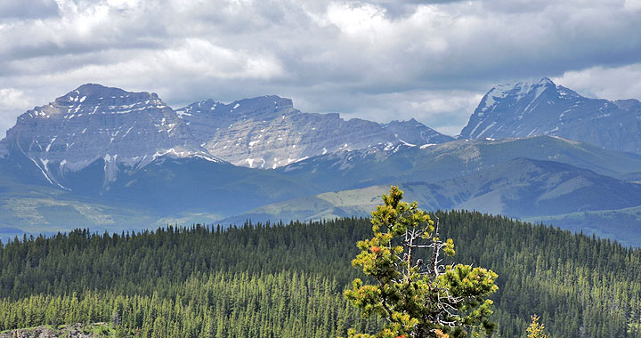
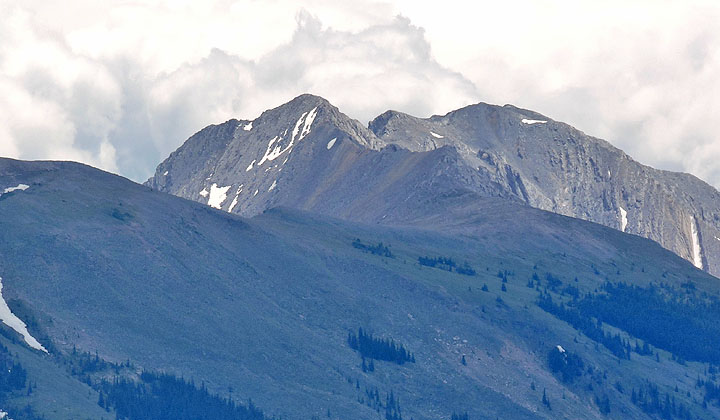
Lying west are Gould Dome (left) and Tornado Mountain (right)
We passed the summit and made our way to the cairn at the end of the ridge
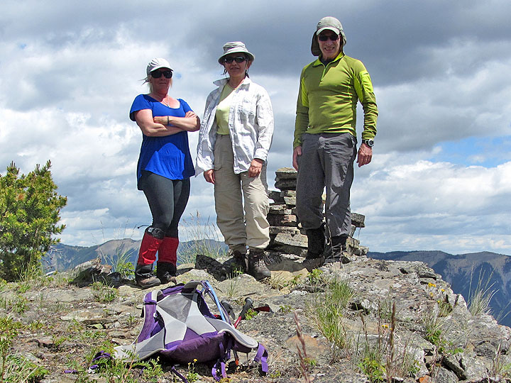
Christine, Zora, and I stand next to the cairn
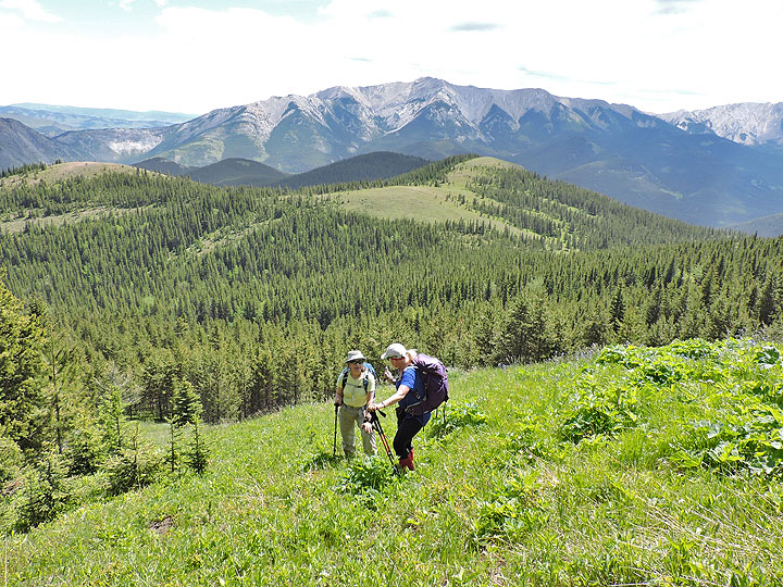
Heading back to the col. Thunder Mountain and Lightning Peak in the background.
Lightning Peak is the second highest point after Centre Peak in the Livingstone Range
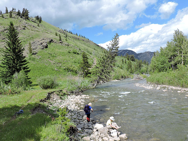
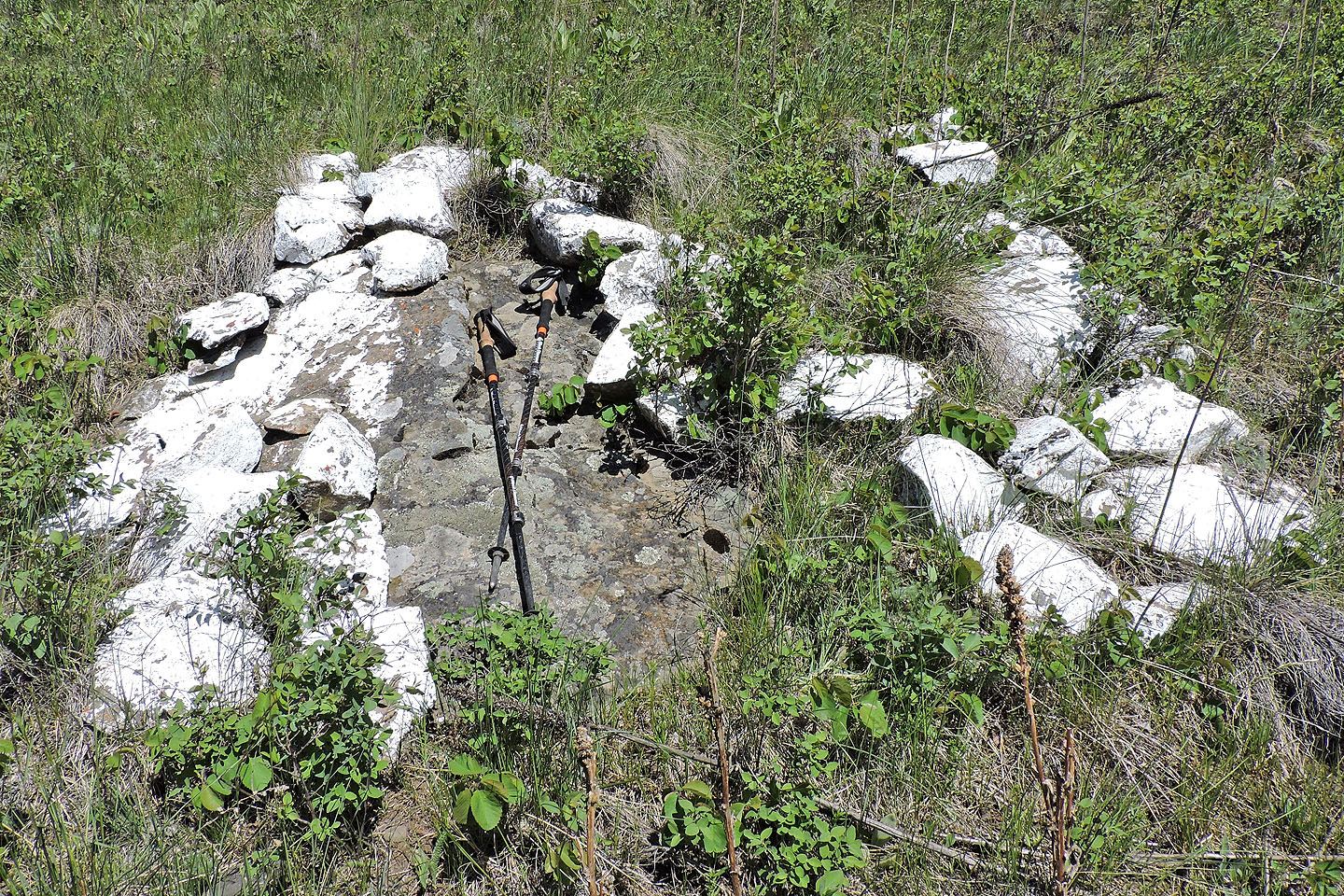
Christine wet her hair and Zora soaked her feet in the waters of Racehorse Creek. Above them is the trail back.
opentopomap (82 G/16 Maycroft map is inaccurate)