bobspirko.ca | Home | Canada Trips | US Trips | Hiking | Snowshoeing | MAP | About
Teapot Mountain
Prince George, B.C.
July 25, 2025
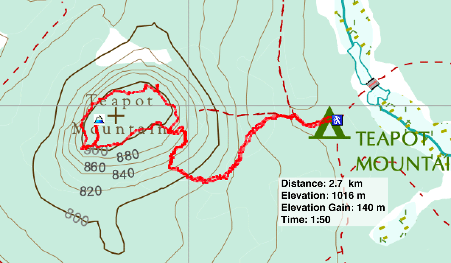
Distance: 2.7 km (1.7 mi)
Cumulative Elevation Gain: 182 m (597 ft)
After climbing Coffeepot Mountain, Dinah and I drove down Highway 97 to ascend Teapot Mountain. Both are ancient volcanoes, but they differ. Unlike Coffeepot, Teapot is easier to drive to, has better trails, and has several engaging viewpoints. We encountered many hikers, whereas we saw no one on Coffeepot.
We parked on the side of the road, along with several other vehicles. It’s possible to drive another 130 m to the trailhead, but we didn’t bother. We walked up the road to the trailhead and started hiking.
The broad trail we started on soon narrowed and became steep. At a signed fork, we turned left, starting a clockwise loop. The trail kept ascending until it reached the mountain perimeter. We followed the rim trail, passing views of Summit Lake, before turning our attention to the summit. It’s not correctly marked on the map, but Sonny Bou had searched for and found it, saving us the effort. The summit is only 60 m from the rim trail. A spur trail heads there, but abruptly stops several metres short. Survey markers confirmed the spot.
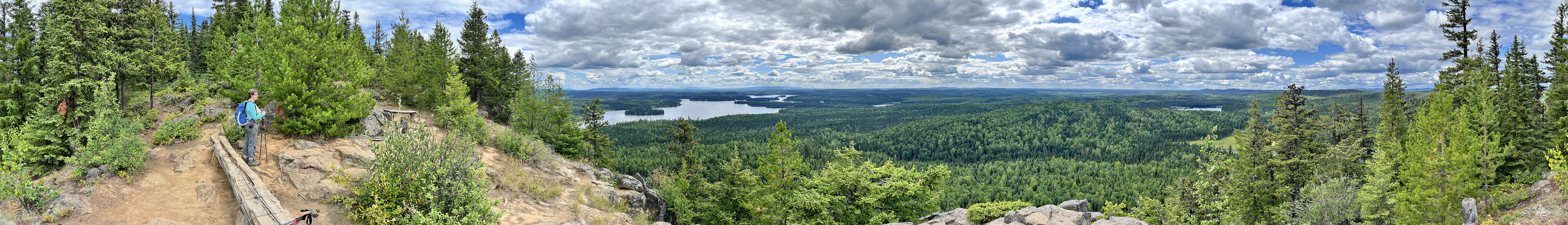
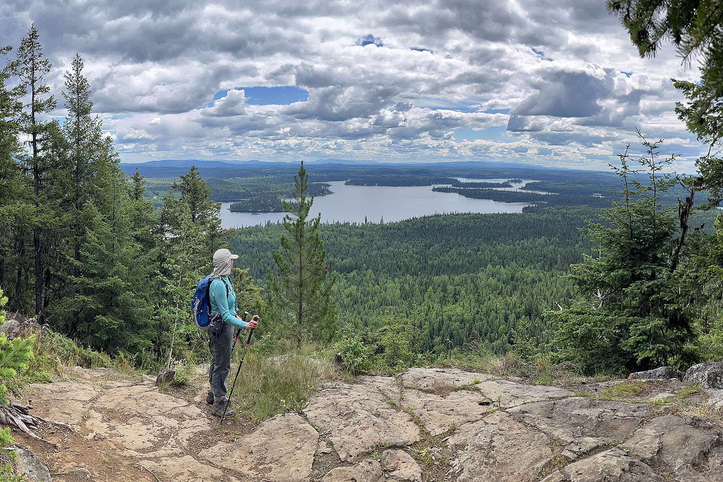
After returning to the main trail, we found an expansive viewpoint where I took the above panorama. Continuing along the trail, we found more viewpoints. Notably, we saw Jakes Lake and Crooked River before finishing the loop and returning to our car.
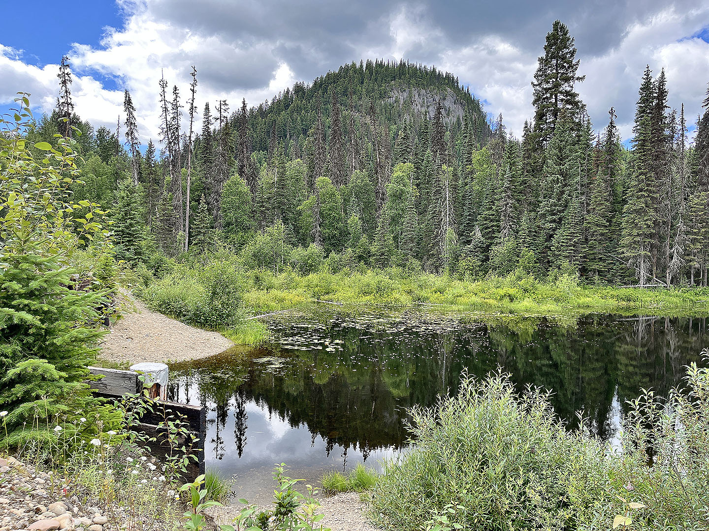 At a bridge 150 m before the parking spot, there's a view of Teapot Mountain
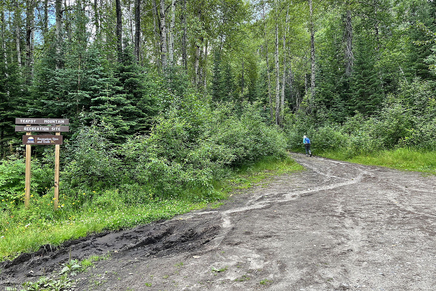 We parked on the side of the road and walked 130 m to the trailhead
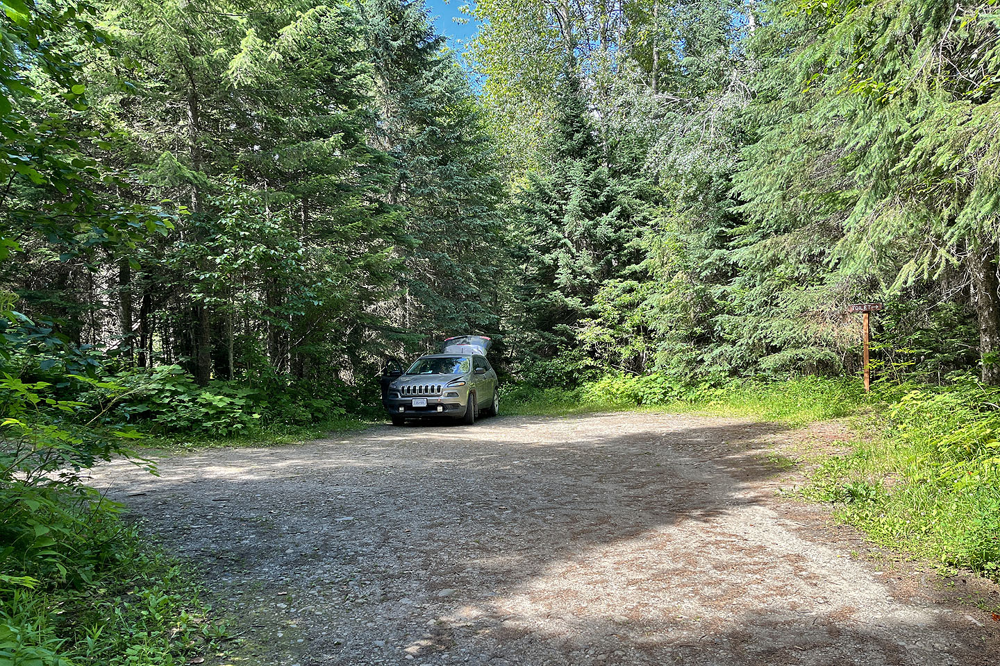 Looks like there's room for three cars. The trail is left.
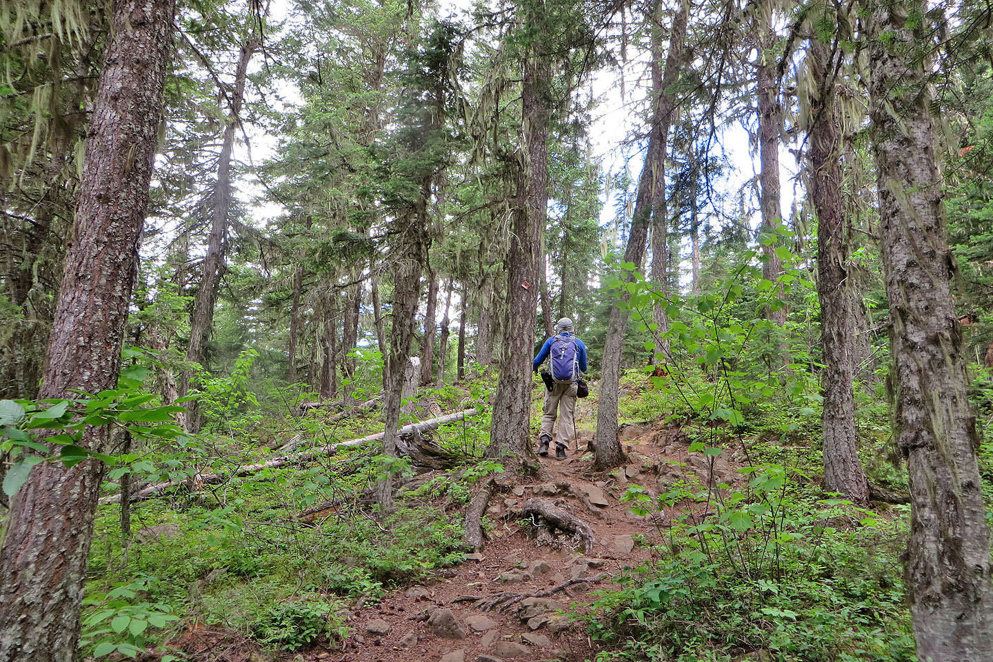
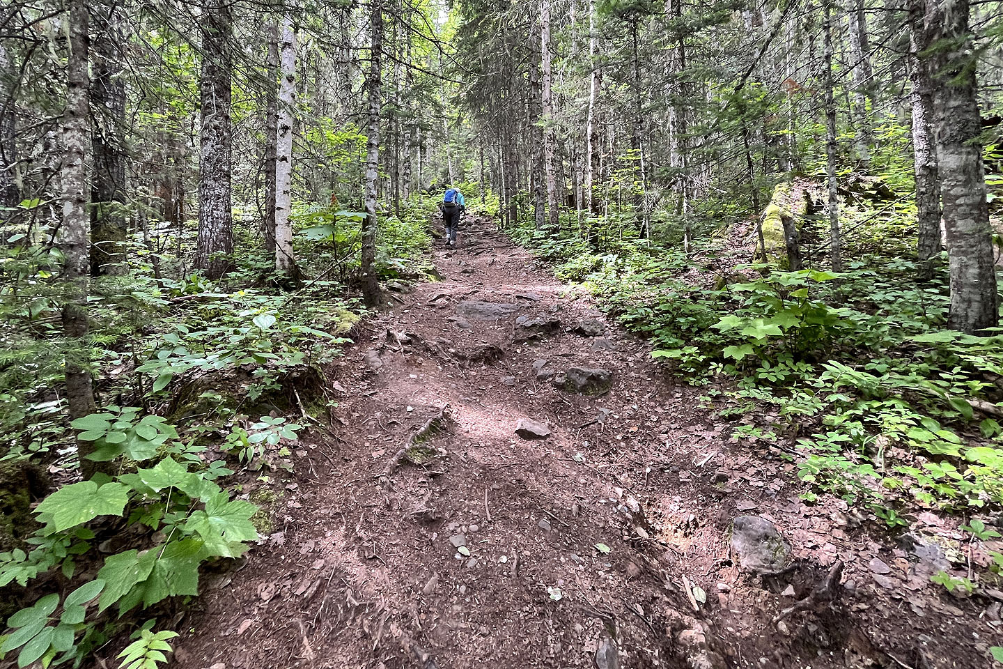 The trail is broad and gentle at first
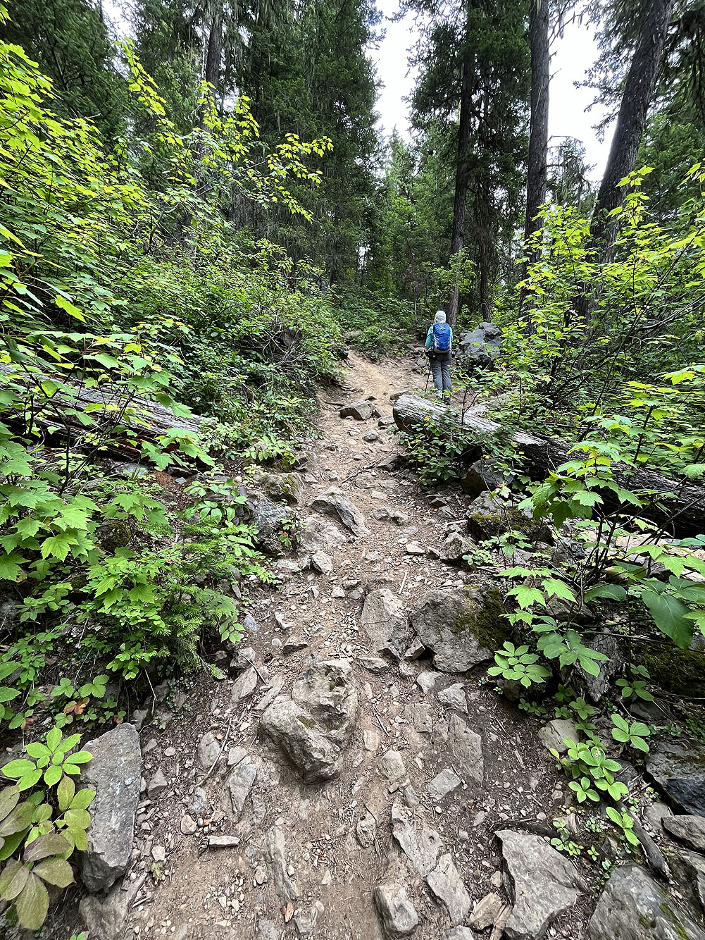
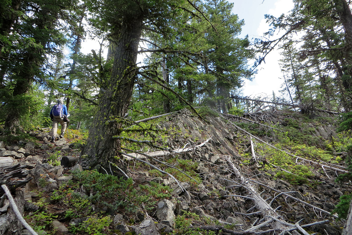
It soon begins to climb steeply
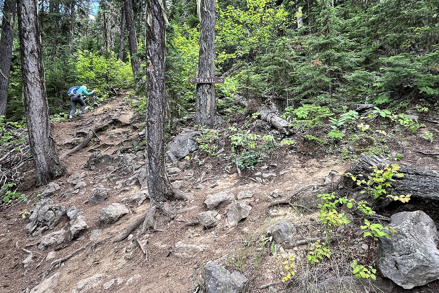 When we reached a fork, the beginning of the loop, we kept left
 At one of the first viewpoints, we gazed down at Summit Lake
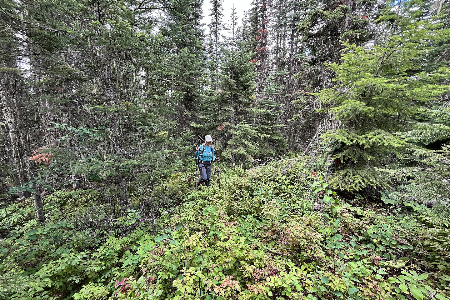 The trail to the summit ended after 40 m, so we continued offtrail 20 m to the summit
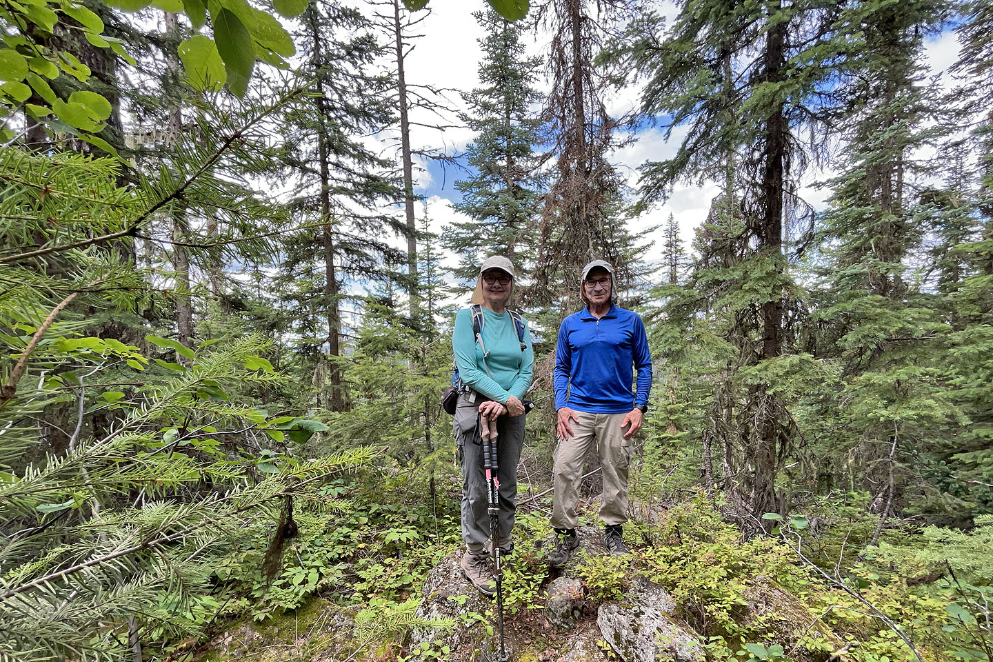 Standing on the viewless summit
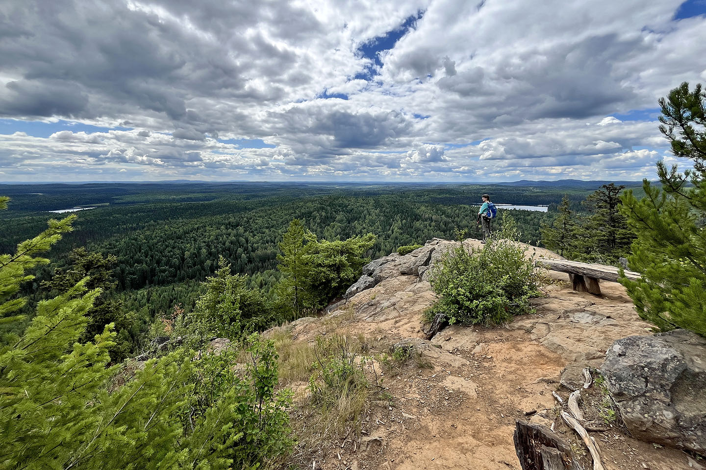 The best viewpoint is a short distance from the summit
 Continuing along the trail
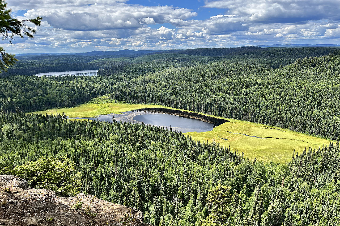 An unnamed lake lies below. Jakes Lake is upper left.
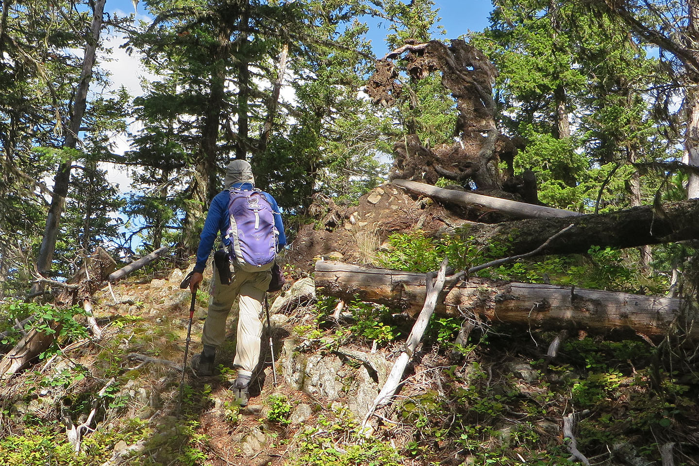 We passed an uprooted tree
 Coffeepot Mountain appears in the centre of the skyline, 11.5 km away (mouse over for a close-up)
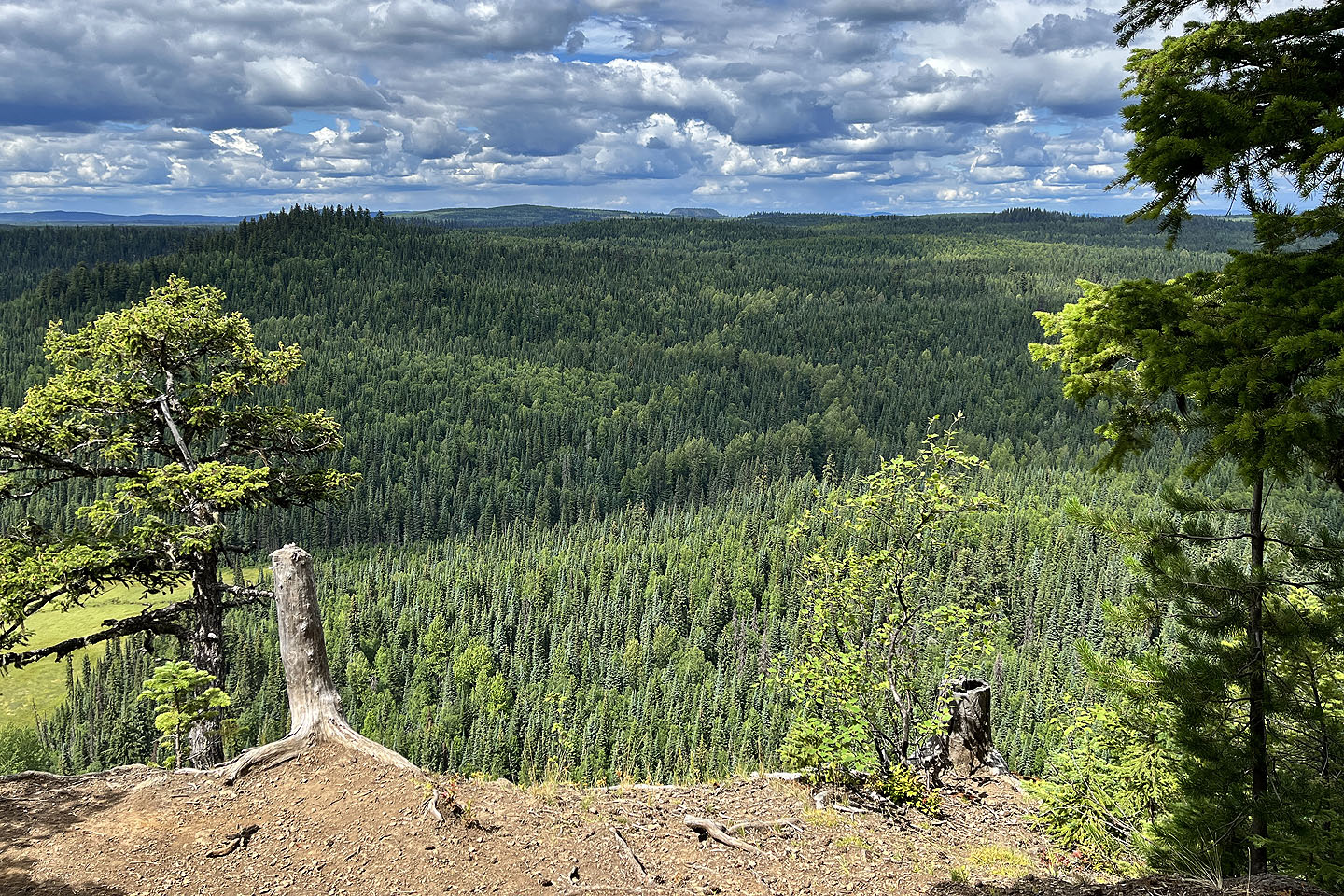
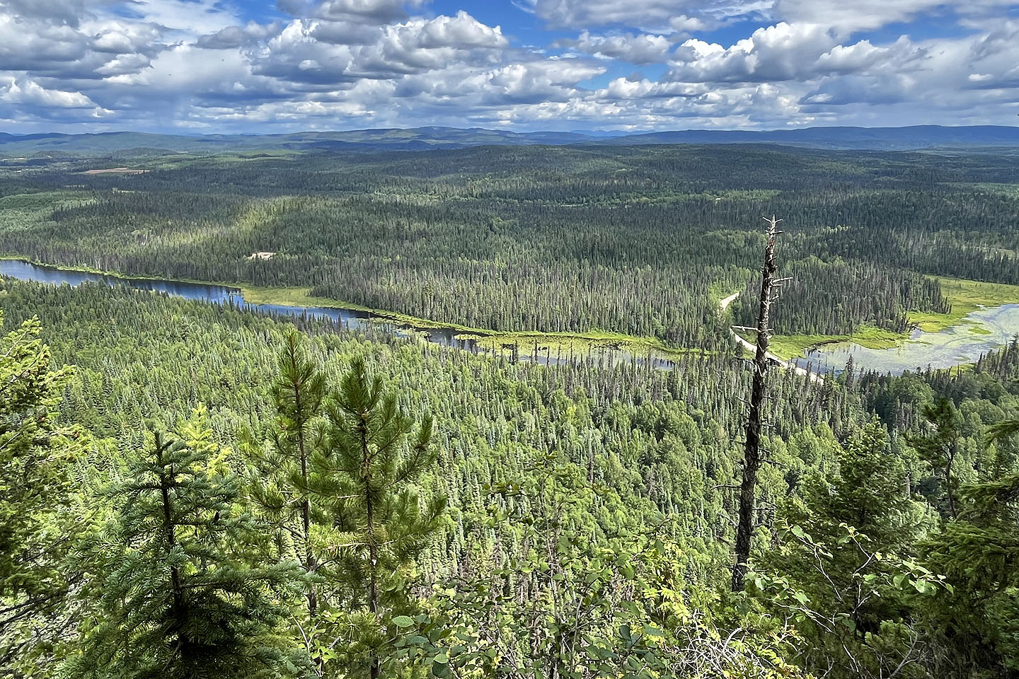 Crooked River runs below. The road we drove up can be seen.
 We walked back to the beginning of the loop