bobspirko.ca | Home | Canada Trips | US Trips | Hiking | Snowshoeing | MAP | About
Coffeepot Mountain
Prince George, B.C.
July 25, 2025
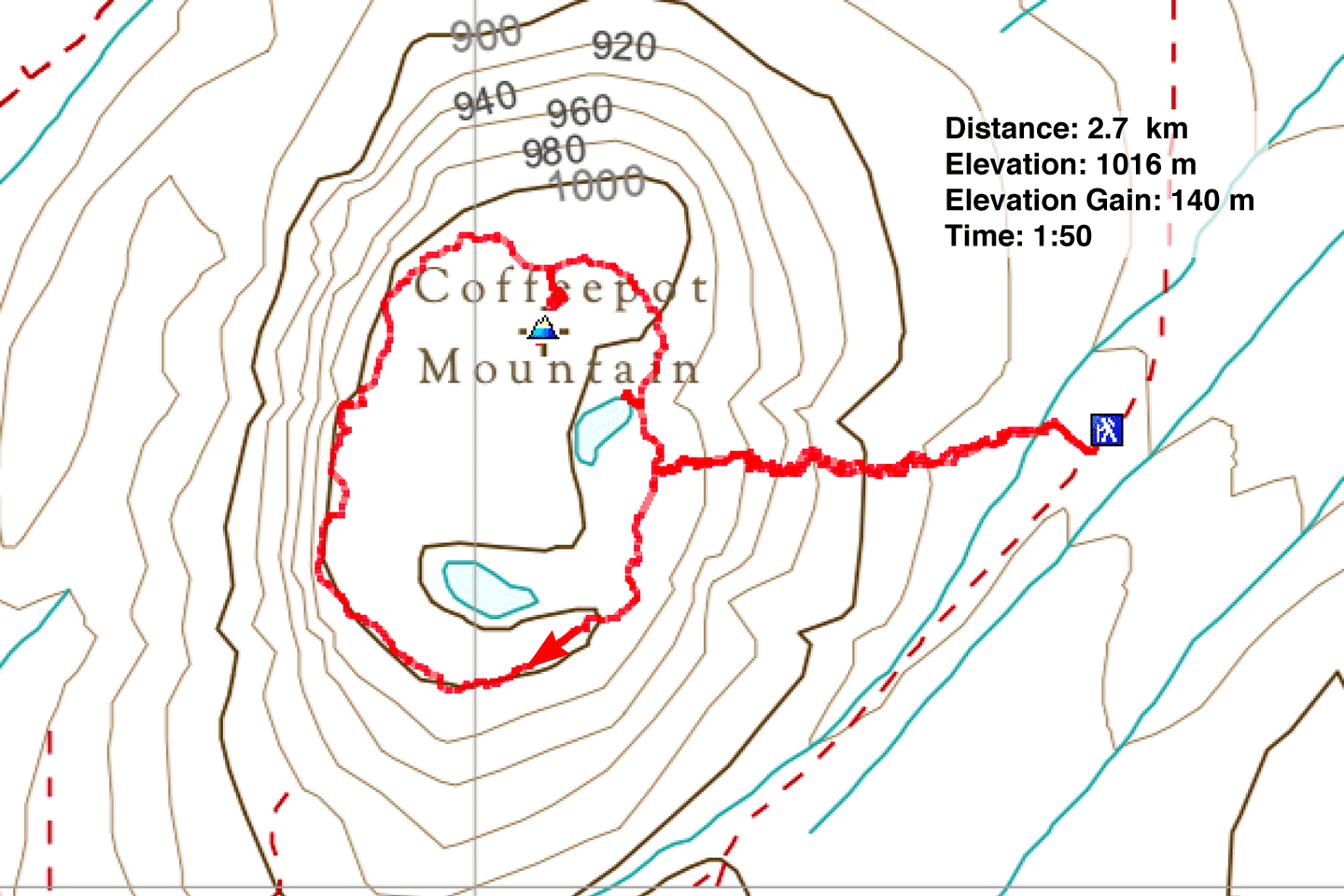
Distance: 2.7 km (1.7 mi)
Cumulative Elevation Gain: 182 m (597 ft)
Coffeepot Mountain and Teapot Mountain offer a chance to climb two ancient volcanoes. The short hikes and close proximity (11.5 km as the crow flies) make them easy to tackle in one day. After coffee in the morning, Dinah and I climbed Coffeepot and Teapot, and were back in Prince George for mid-afternoon tea.
We hoped to spot wildlife, and we weren’t disappointed, although it was sooner than expected. While driving north on Highway 97 to Coffeepot, a moose suddenly crossed in front of us, forcing me to brake. Then later, on a forestry road, we saw a lynx 100 m ahead. I took a photo, but trying to focus on the moving cat, through the windshield and with grass in the way, I only managed to capture a blurred image. But it was clear enough to see it was a lynx. Unlike bobcats, lynx have hind legs distinctly longer than their front legs. The lynx quickly disappeared.
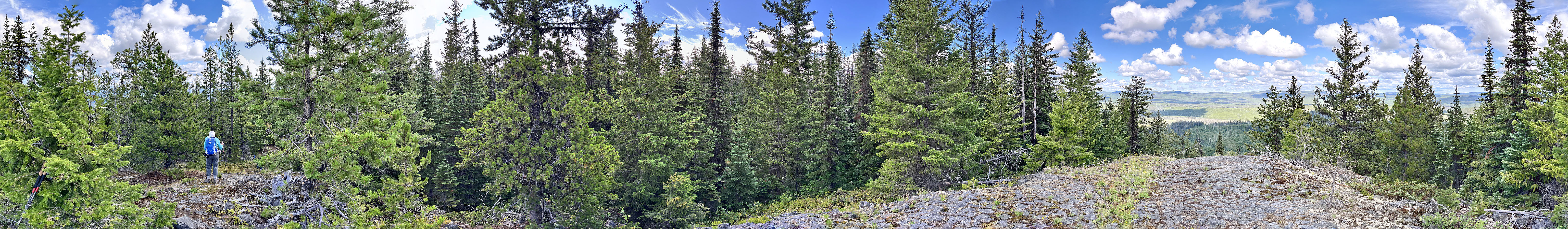
We arrived at the trailhead without further incident; we have Sonny Bou to thank for his driving directions along the winding forestry service roads. We started up a good, and by appearances, recently maintained, trail. In a short time, it began a steep climb to the rim. We turned left and followed the trail as it circled the rim. The few viewpoints we passed were unremarkable although at one, we caught sight of Teapot Mountain. After covering three-quarters of the loop, we reached a high point where I took the above panorama. Soon after, we left the trail and hiked a brief distance to the summit, a slight bump 4 m higher than the high point. We returned to the trail and followed it back to our car. Several minutes later, we were driving south down Highway 97 to climb Teapot Mountain.
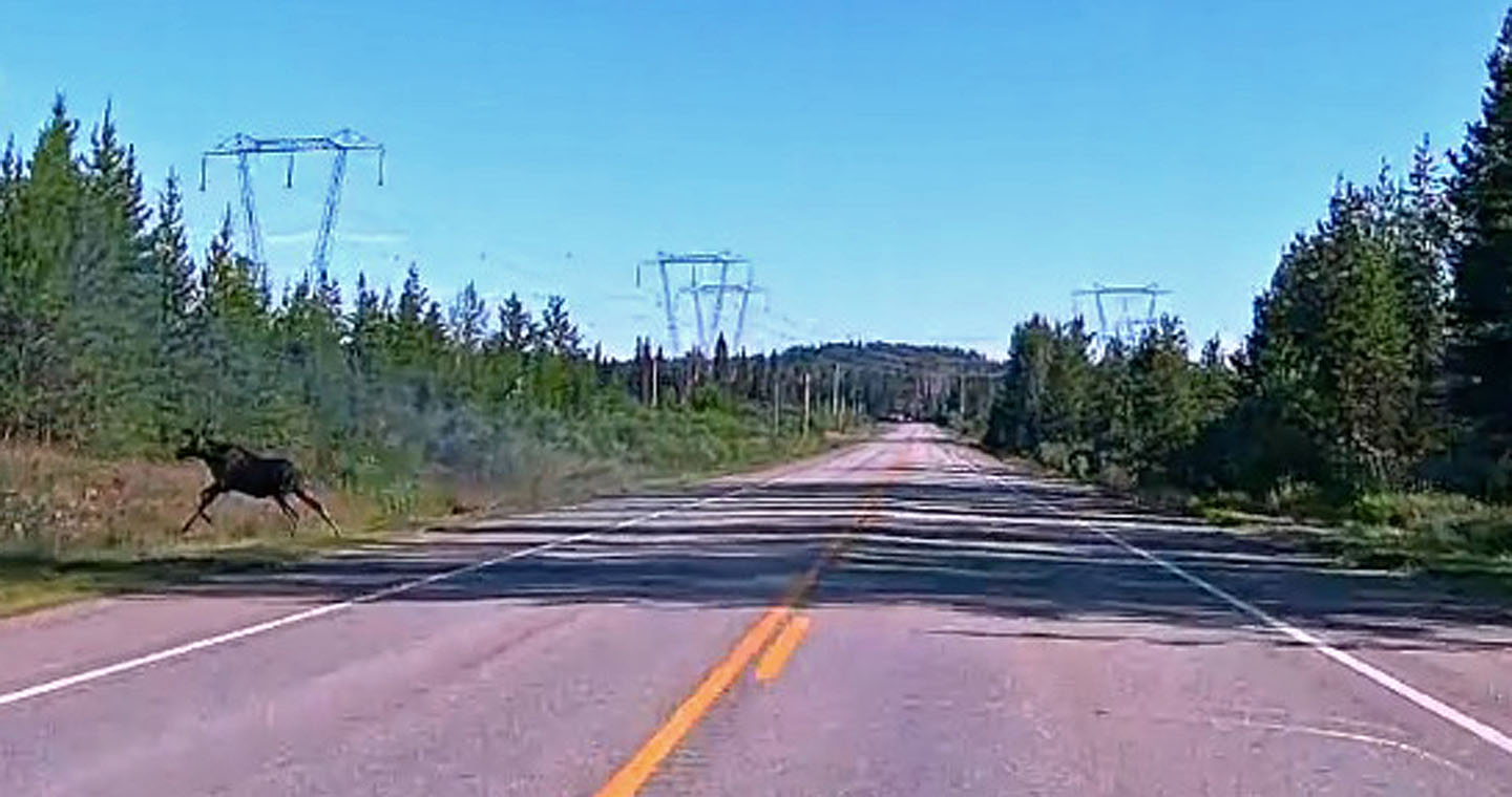 On our way to Coffeepot, a moose crossed the highway in front of us
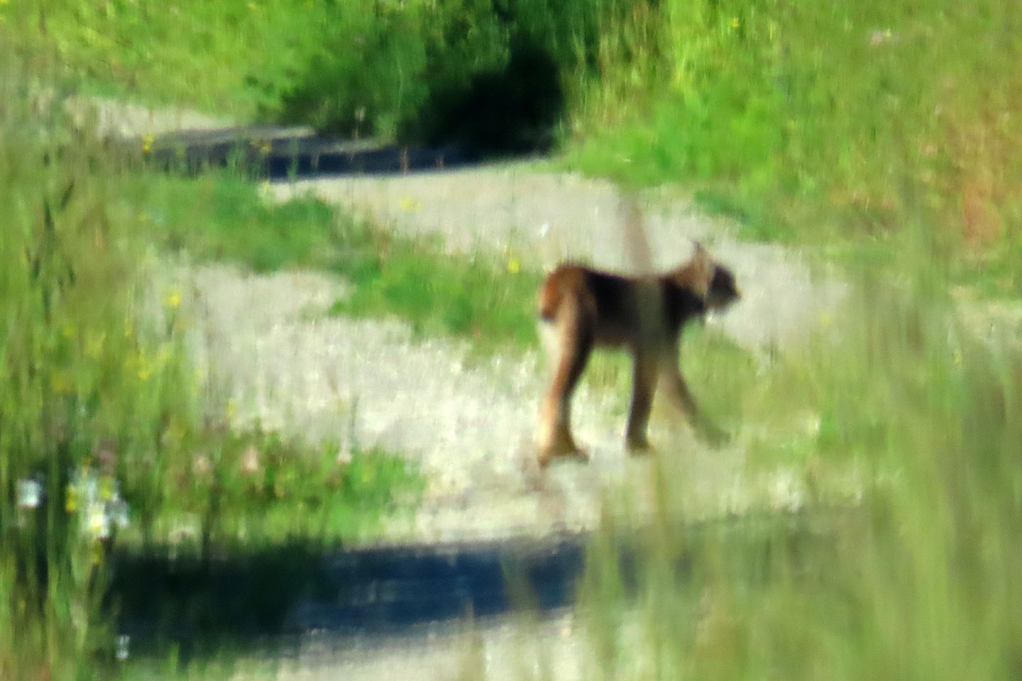 While driving to the trailhead, we spotted a lynx before it disappeared into tall grass
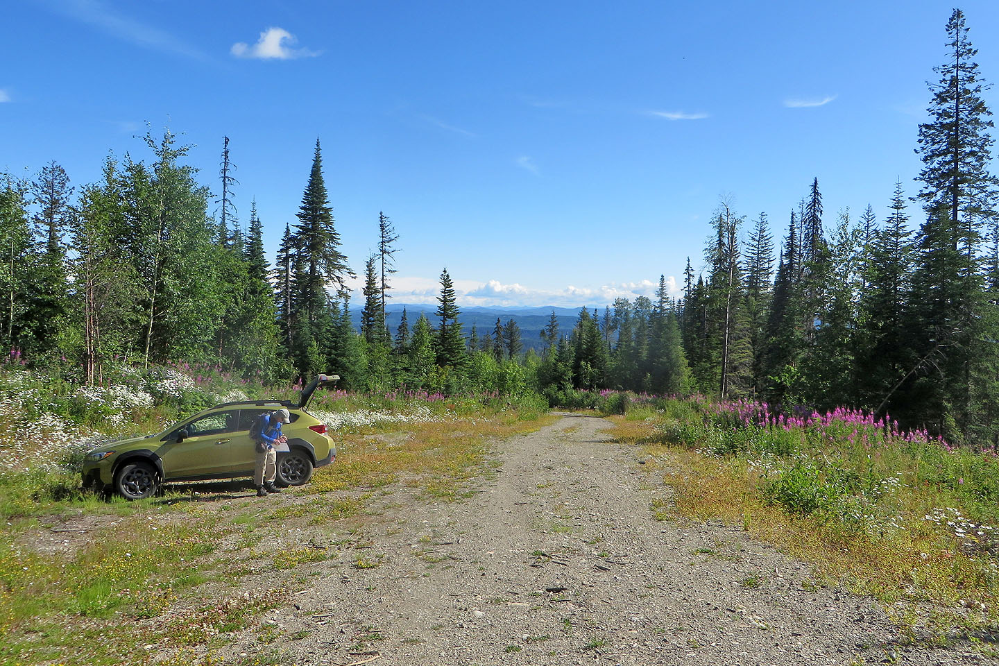 Looking down the road we drove up
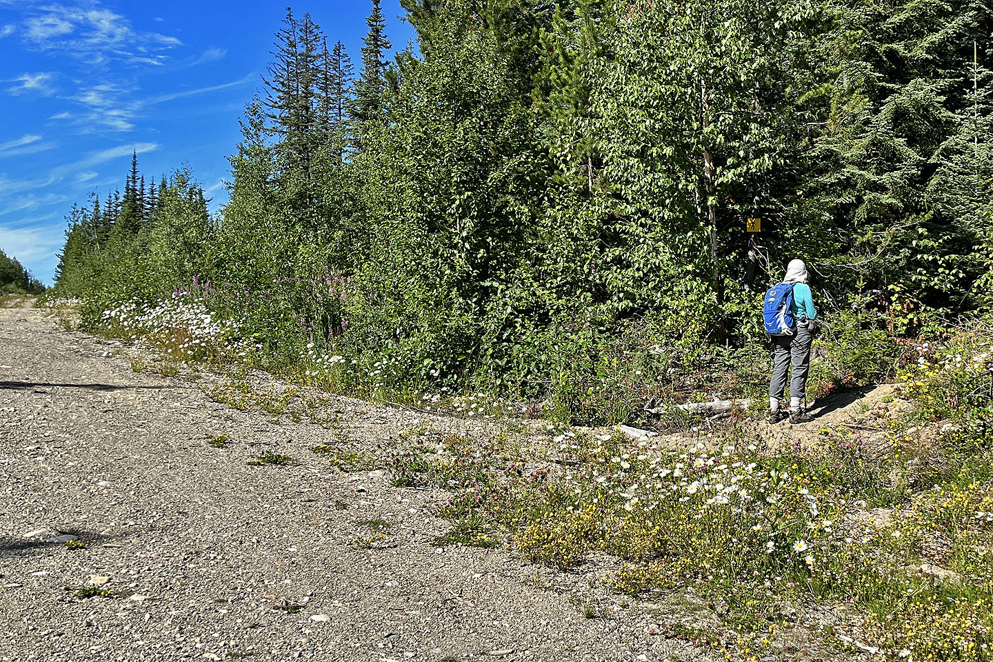 Dinah pauses at the trailhead
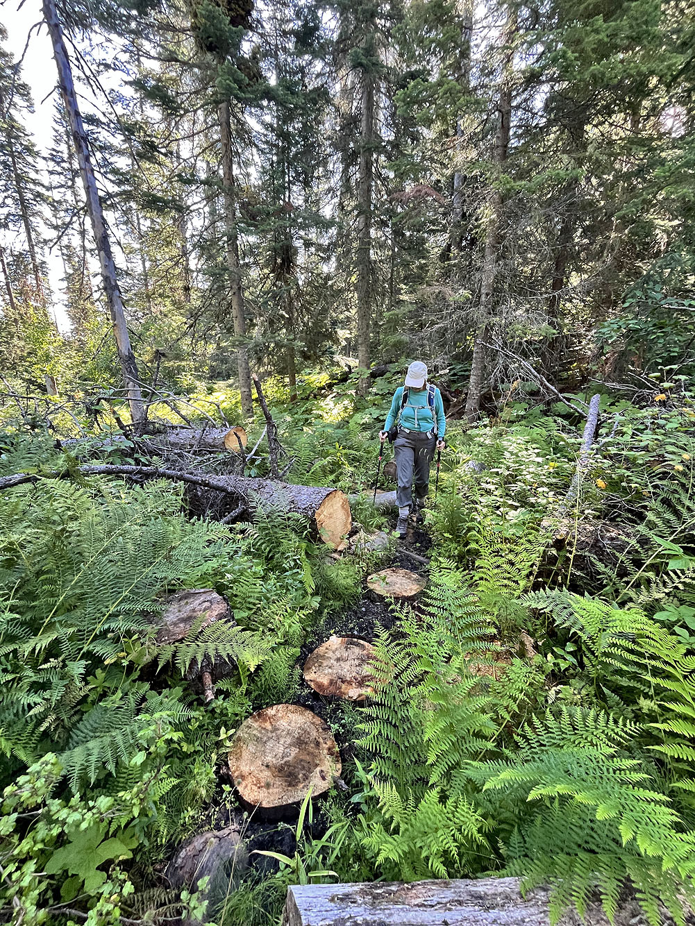
Logs were recently cut to create steps through a boggy section
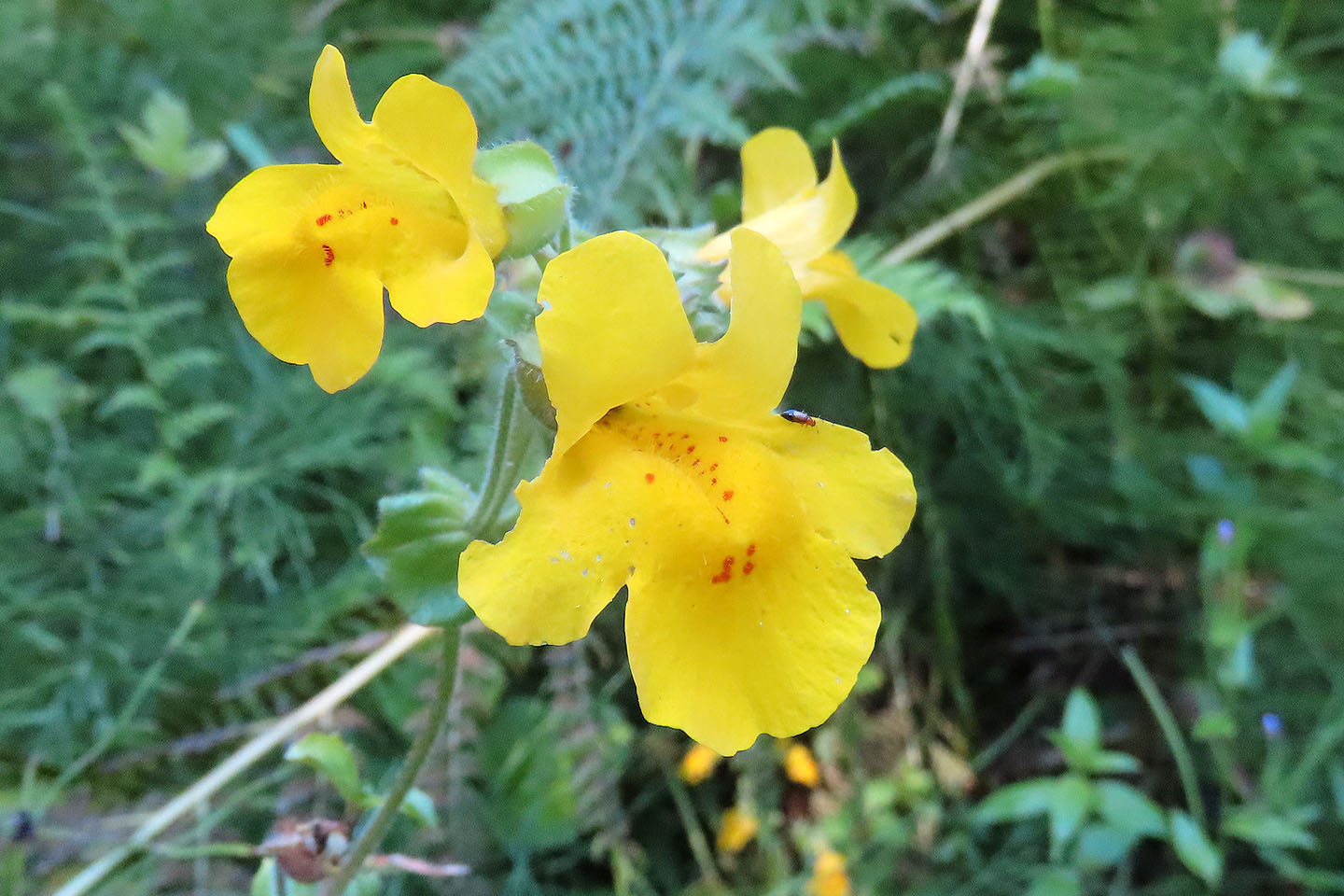 Monkeyflower
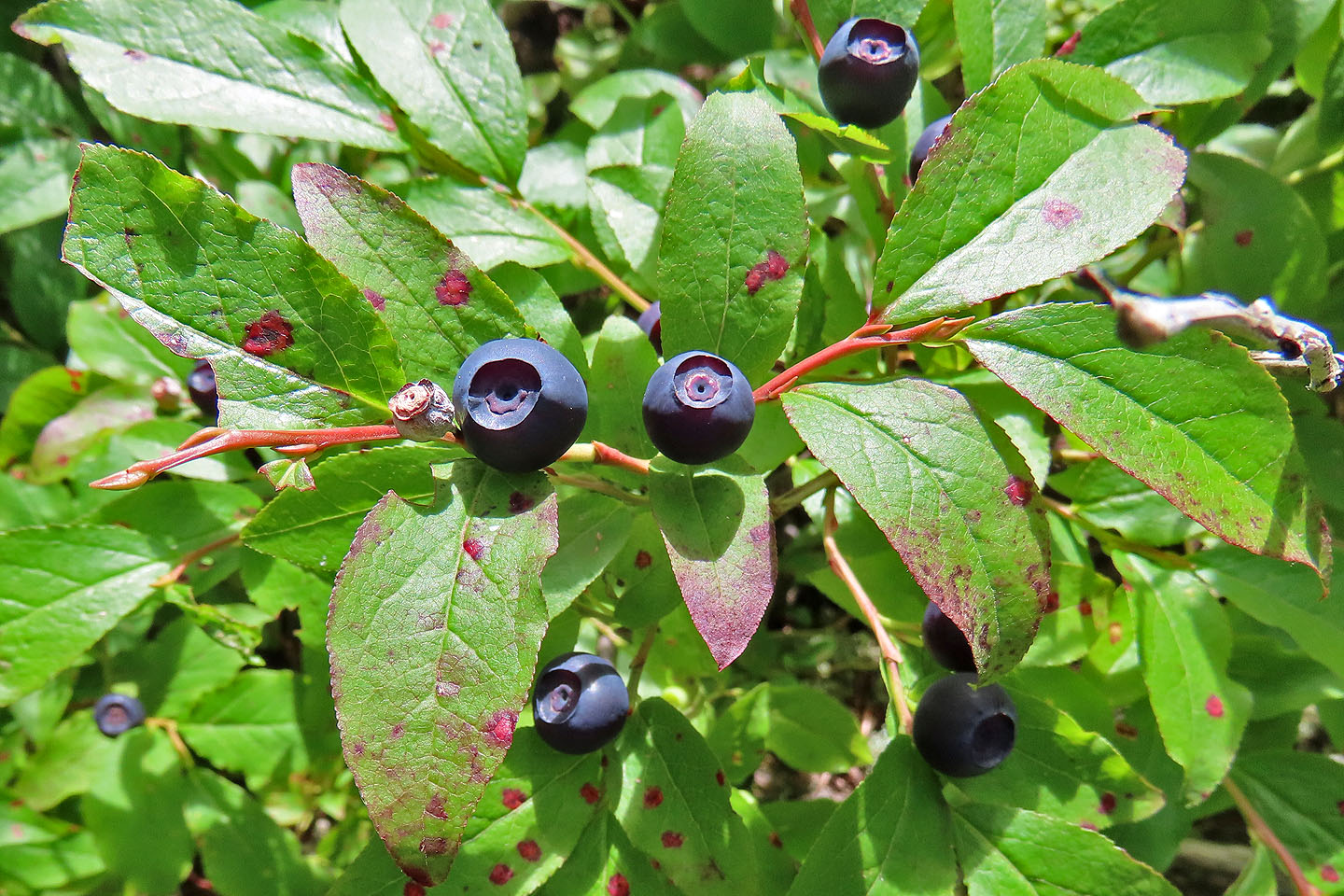 Blueberries
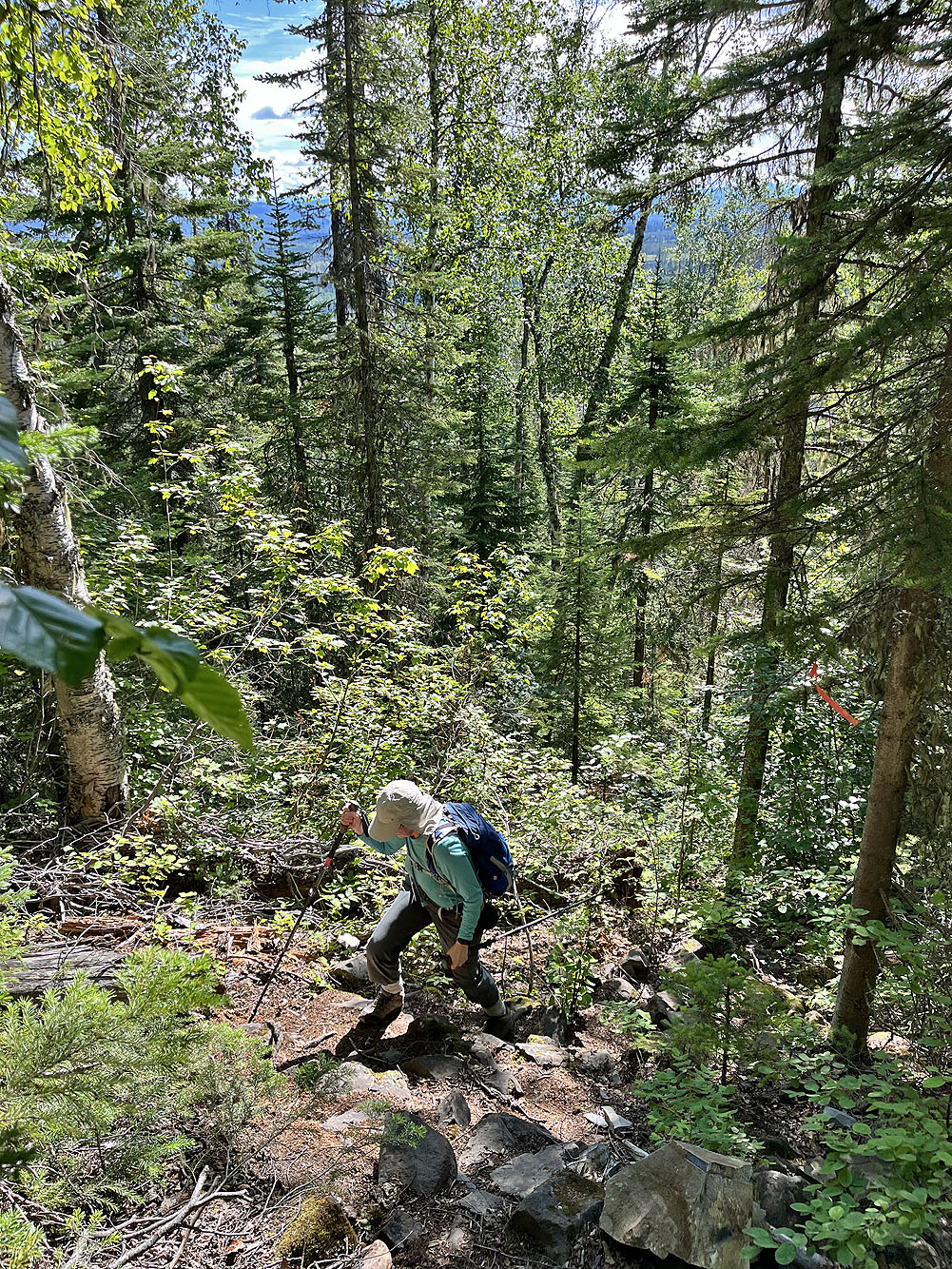
The trail soon begins climbing
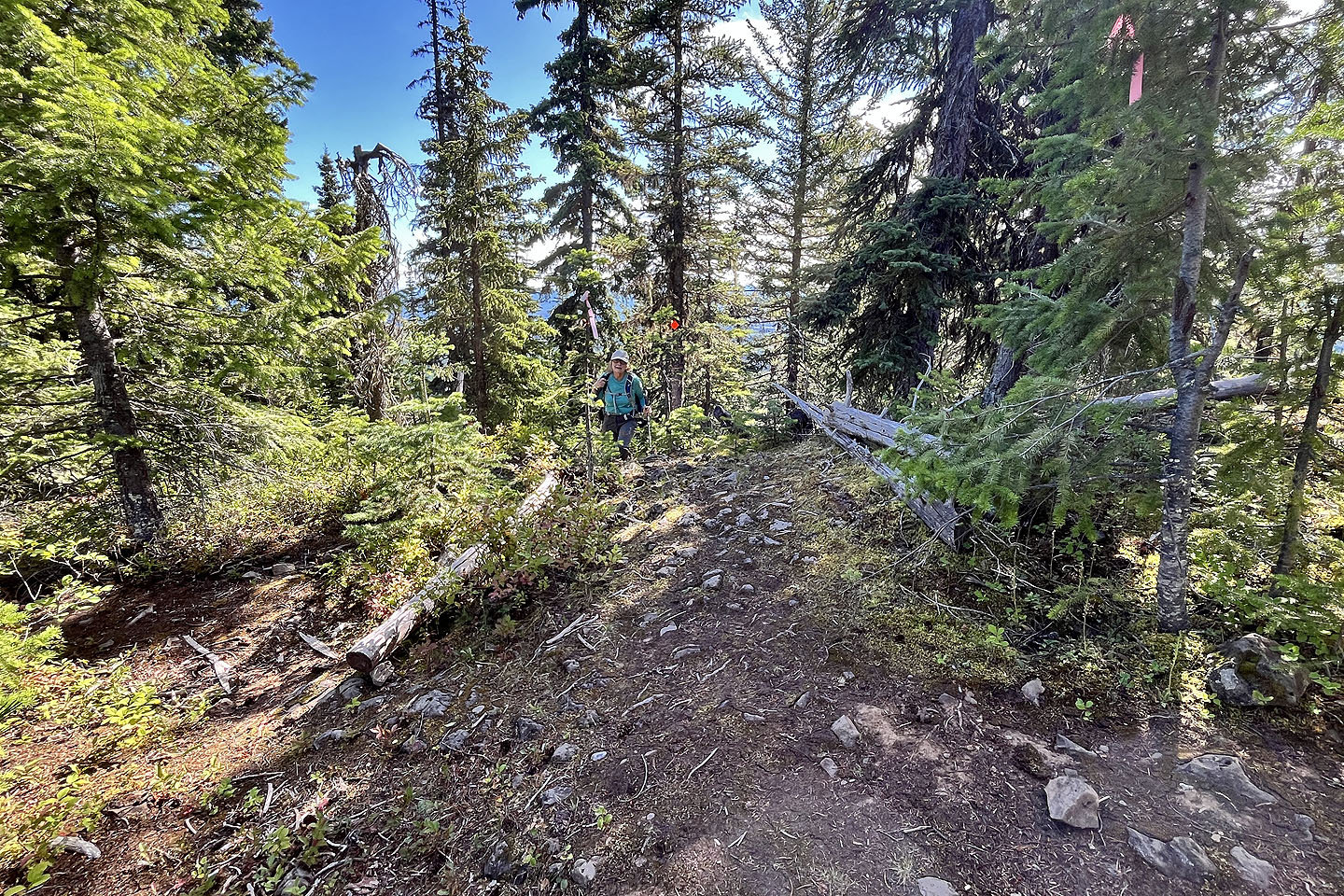 Dinah reaches the top where the loop begins
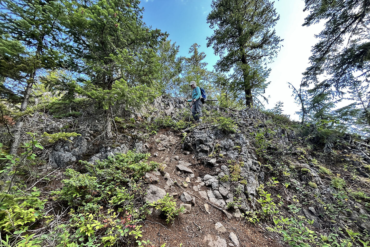 There were a few steep ups and downs at first
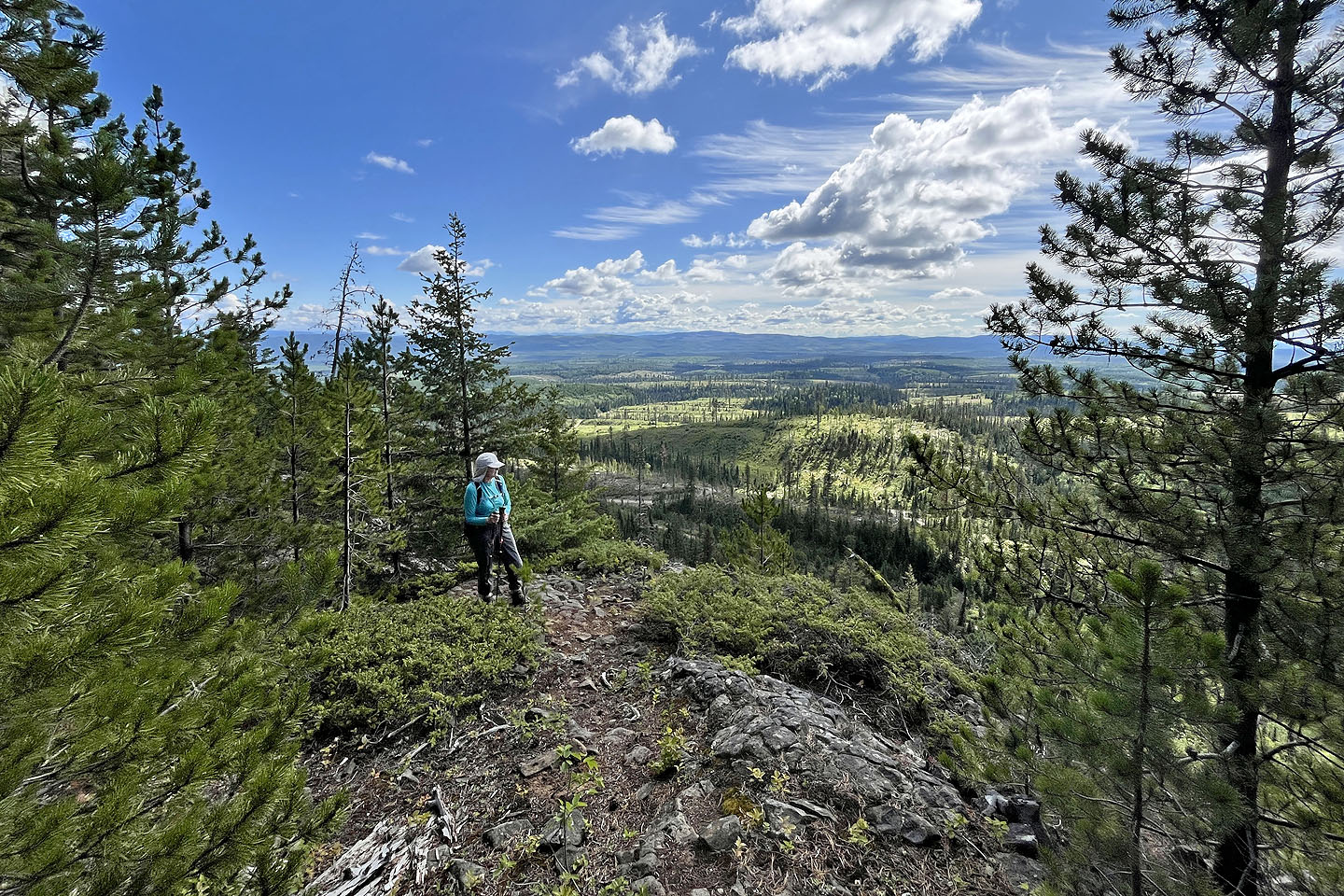 Views were few and narrow
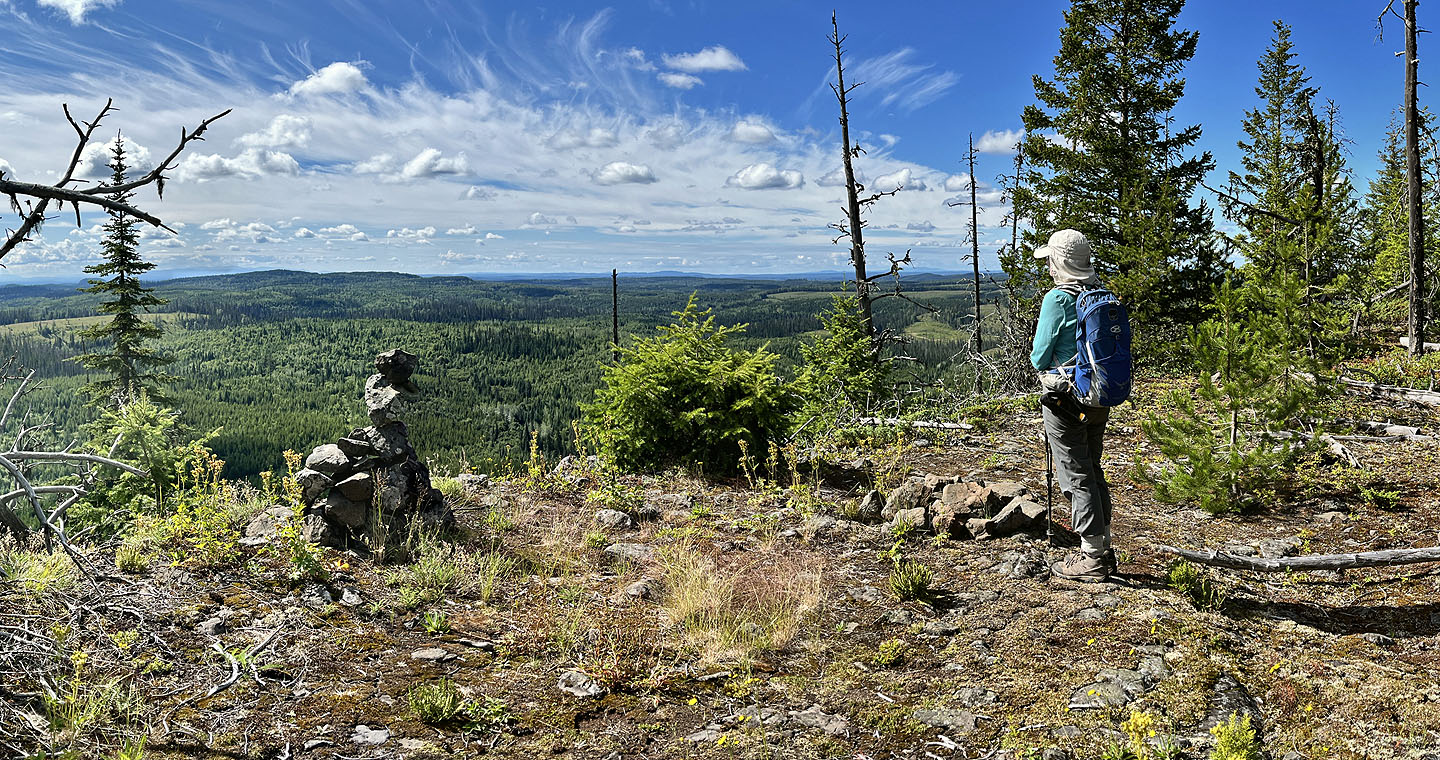 A cairn marks the best viewpoint
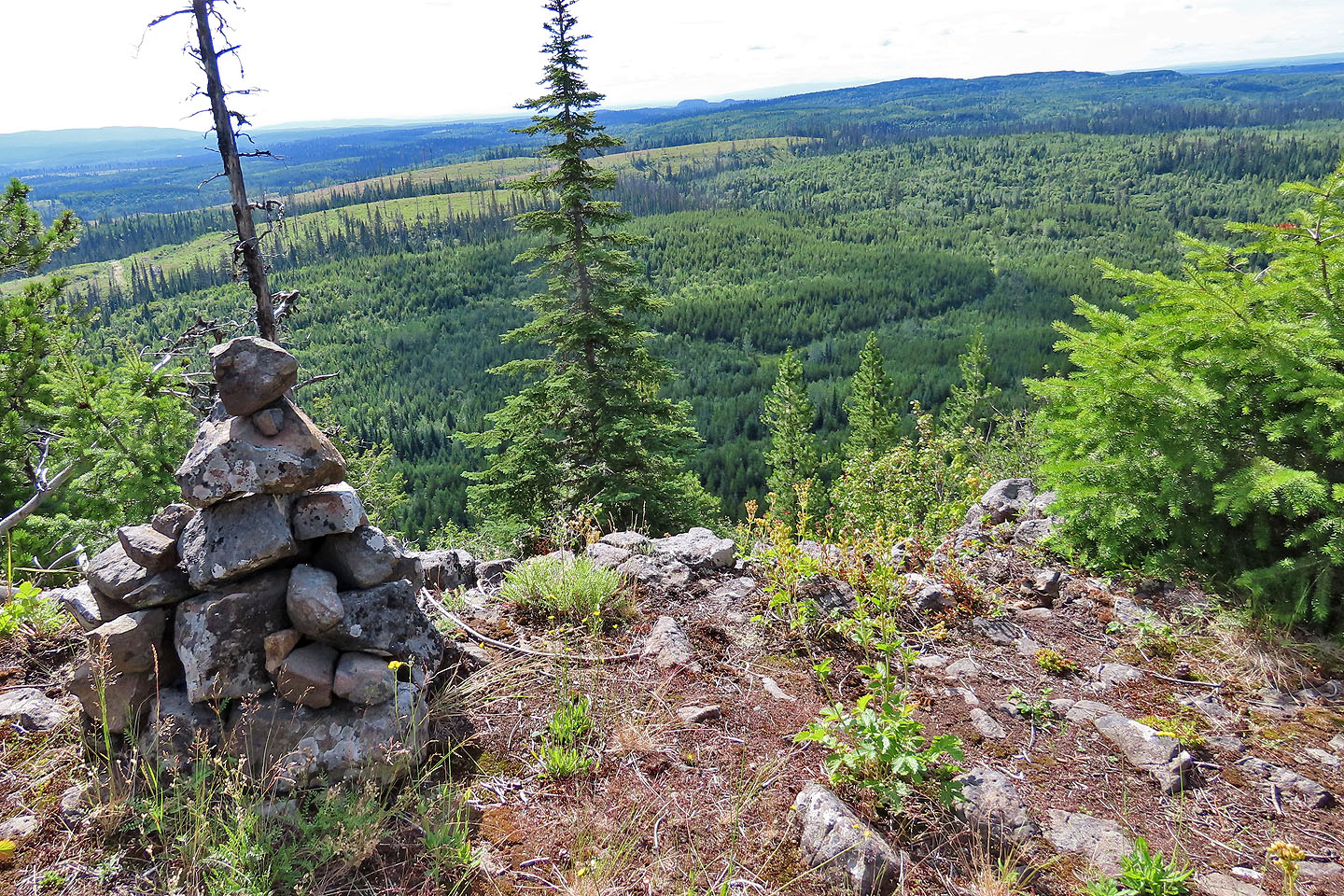 Teapot Mountain appears on the sky line in the centre (mouse over for a close-up)
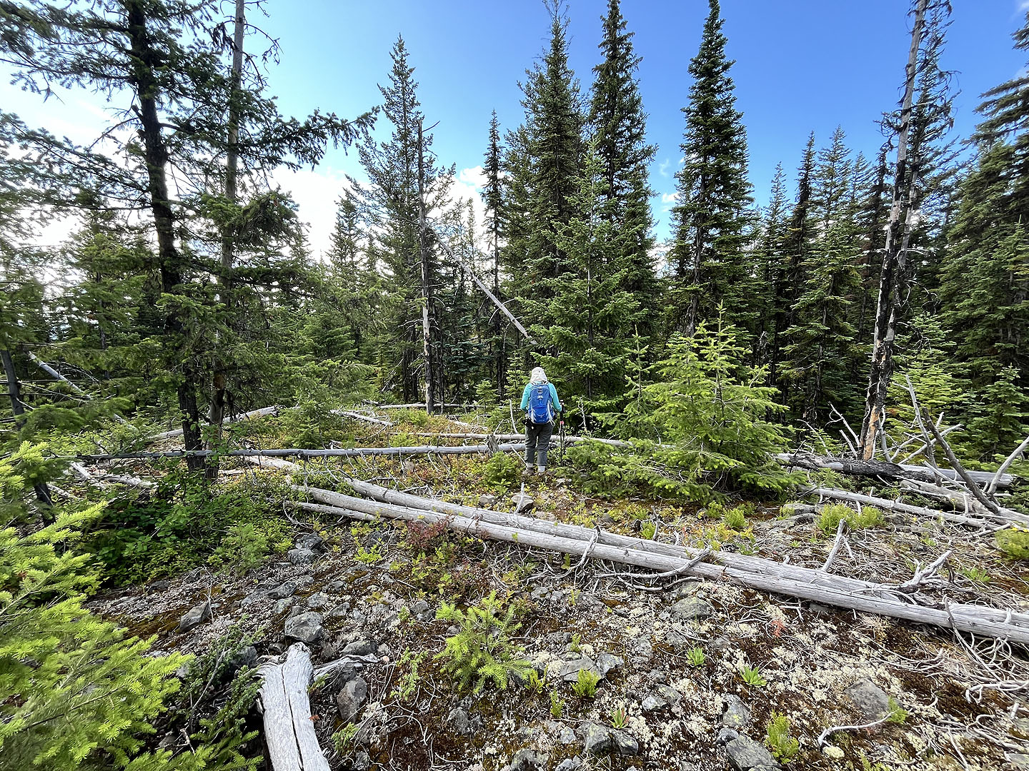 We stepped off the trail and hiked a few dozen metres to the summit
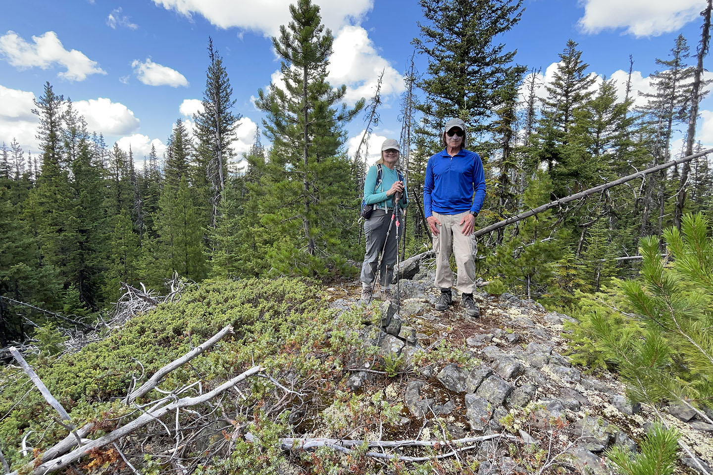 Standing on top of Coffeepot
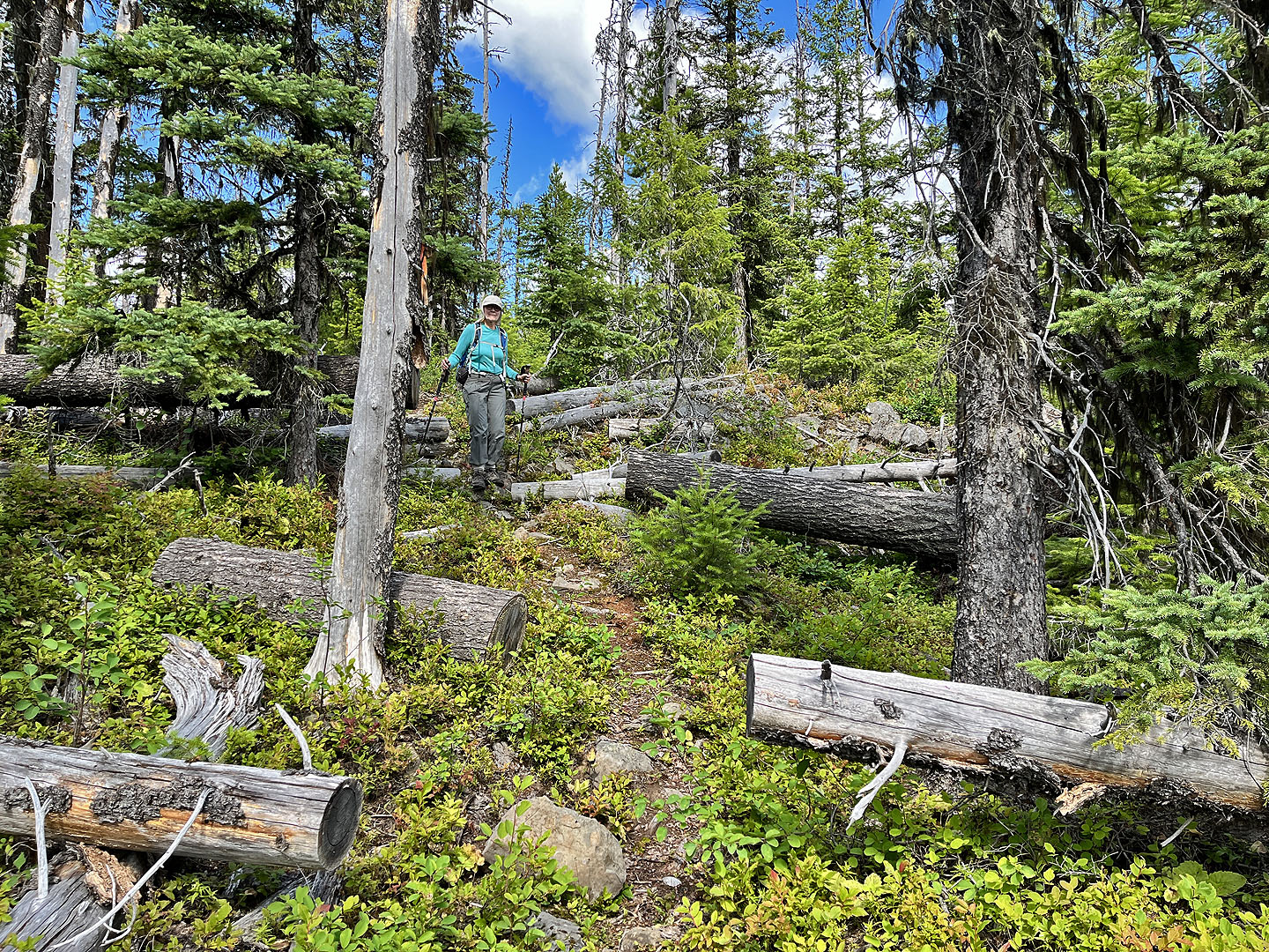 Continuing along the loop
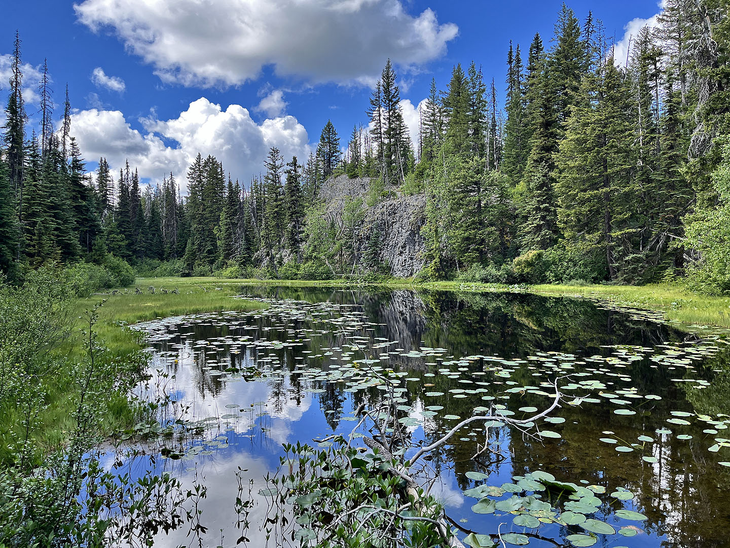 Just before reaching the end of the loop, we passed a small lake
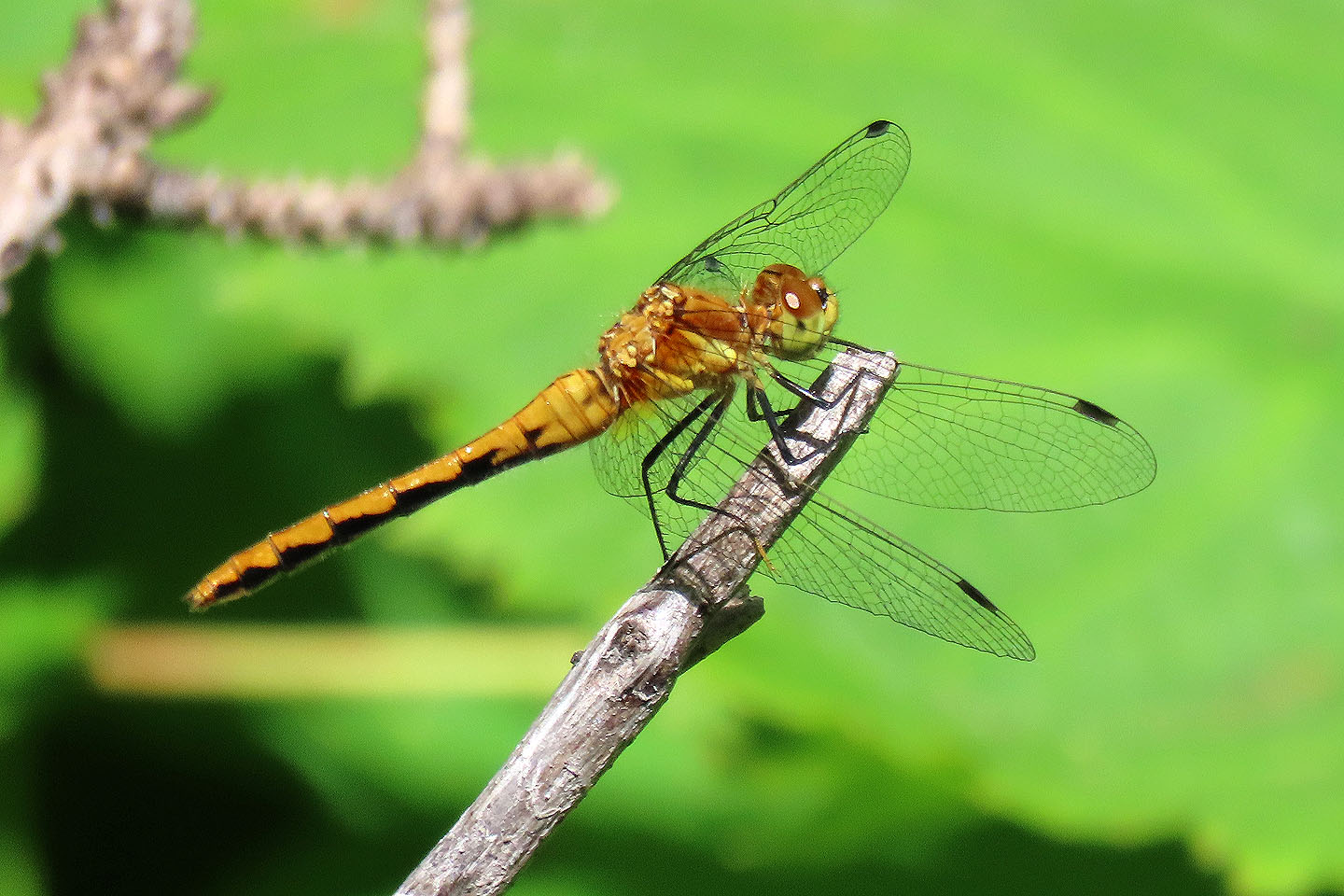 Meadowhawk dragonfly