bobspirko.ca | Home | Canada Trips | US Trips | Hiking | Snowshoeing | MAP | About
Moe’s Canyon
Kimberley Nordic Centre, B.C.
September 24, 2025
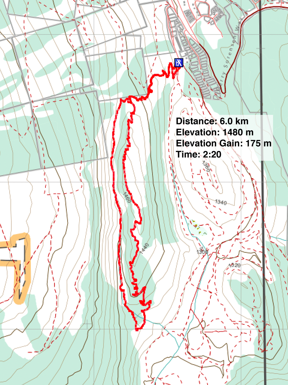
Distance: 6.0 km (3.7 mi)
Cumulative Elevation Gain: 270 m (886 ft)
Hoping to see larches turning yellow, Dinah and I headed to the Nordic Centre west of Kimberley. Among the trails, two stood out: Moe’s Canyon and Magic Line. We planned a loop through the canyon and over an unnamed ridge. Unfortunately, we were too early to see the larches in their splendour (mid-October is the best tiime), and trees prevented remarkable views from the ridge.
After parking in the huge parking lot, we found the trail behind a building. We were confused by the junctions at the start, but eventually, we settled on a trail marked with small, white signs. It soon became apparent we were on a new trail. Previously, hikers used a mountain bike trail to reach Moe’s Canyon, but the new trail was made for hiking. After following trail signs, we reached the fork where the loop begins. We kept right and dropped into the canyon.
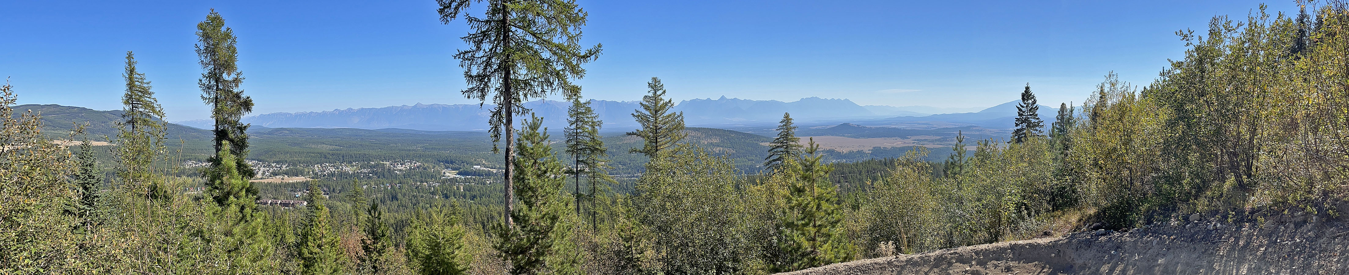
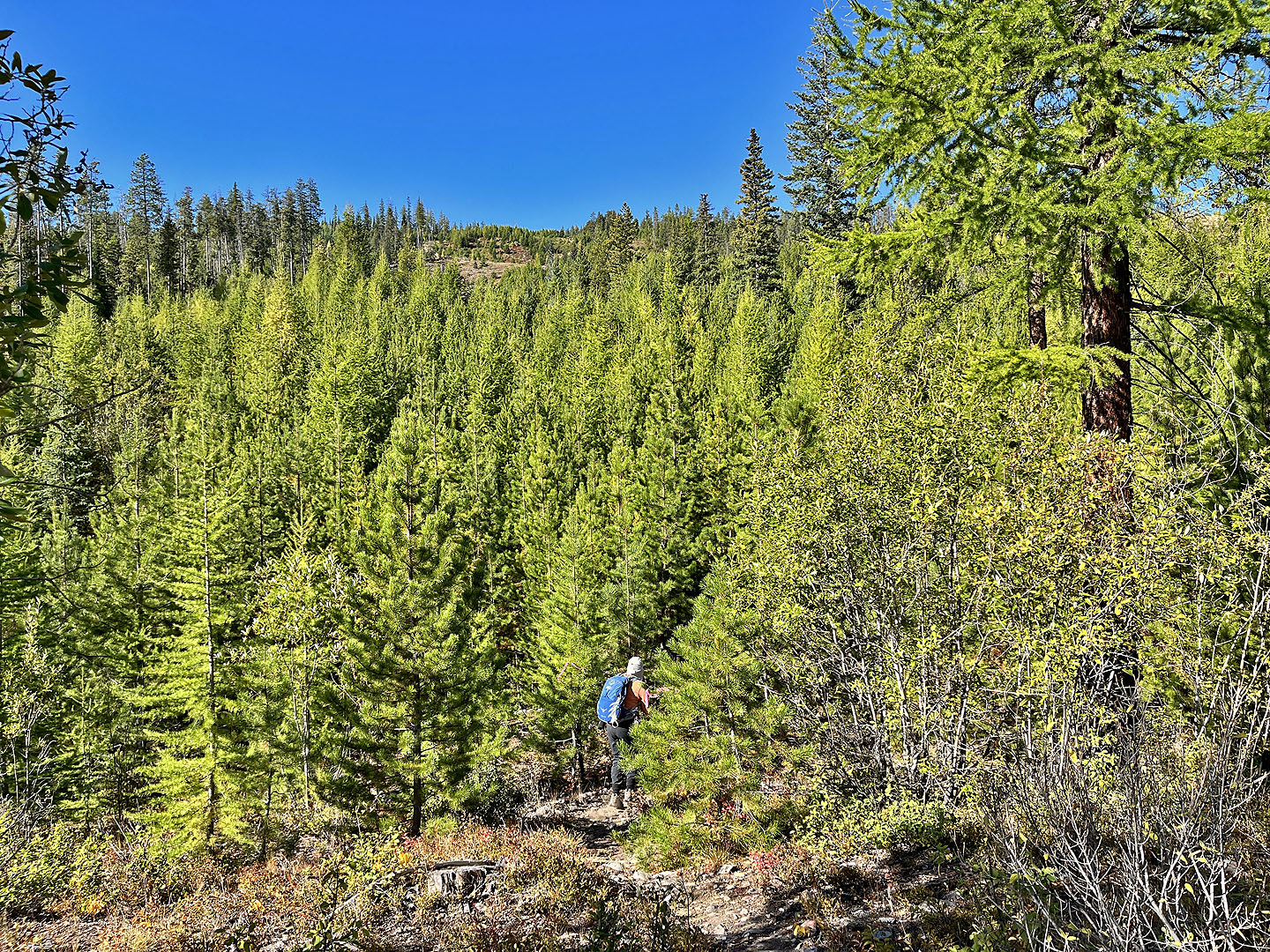
We followed the canyon trail as it climbed and then dropped down. We hiked through a forest punctuated with interesting clearings with steep talus slopes. At the end of the canyon, we made a sharp left onto Magic Line and began ascending the ridge. We had no views as we climbed nor when we traversed the top. Only on the descent were there breaks in the forest where we had limited views to the north. Also on the descent, the path became a wide mountain bike trail with undulations and banked corners. Undoubtedly, mountain bikers would be racing down here, but fortunately, we didn’t encounter any. We reached the end of the loop and returned on the hiking trail we started up.
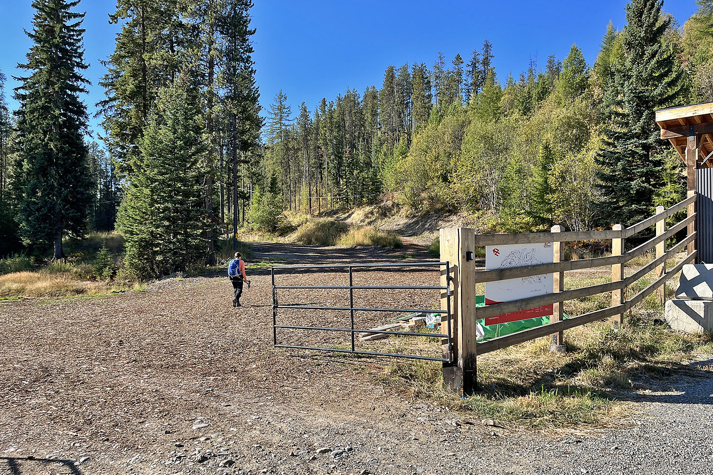 The trail begins behind the building on the right. On the fence is a trail map (mouse over to view).
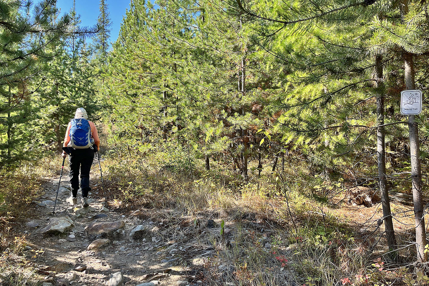 Small, white signs indicate the hiking trail
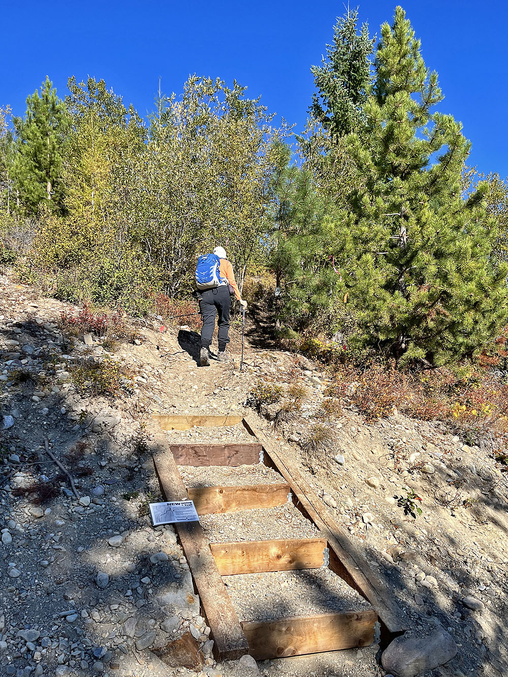
A sign descibes a new trail (mouse over)
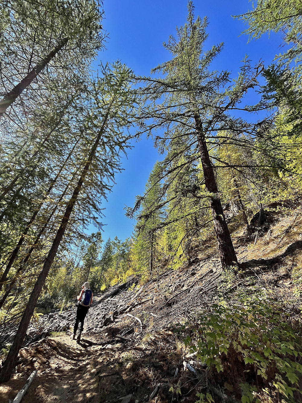
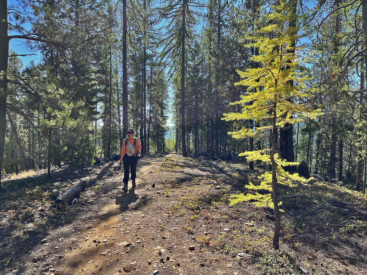
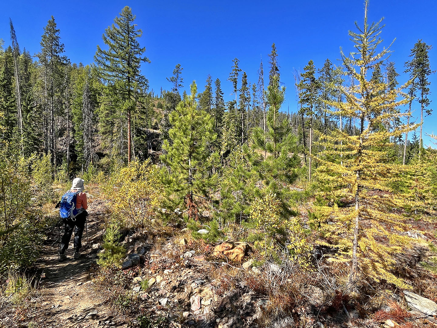
 The trees were beginning to turn yellow
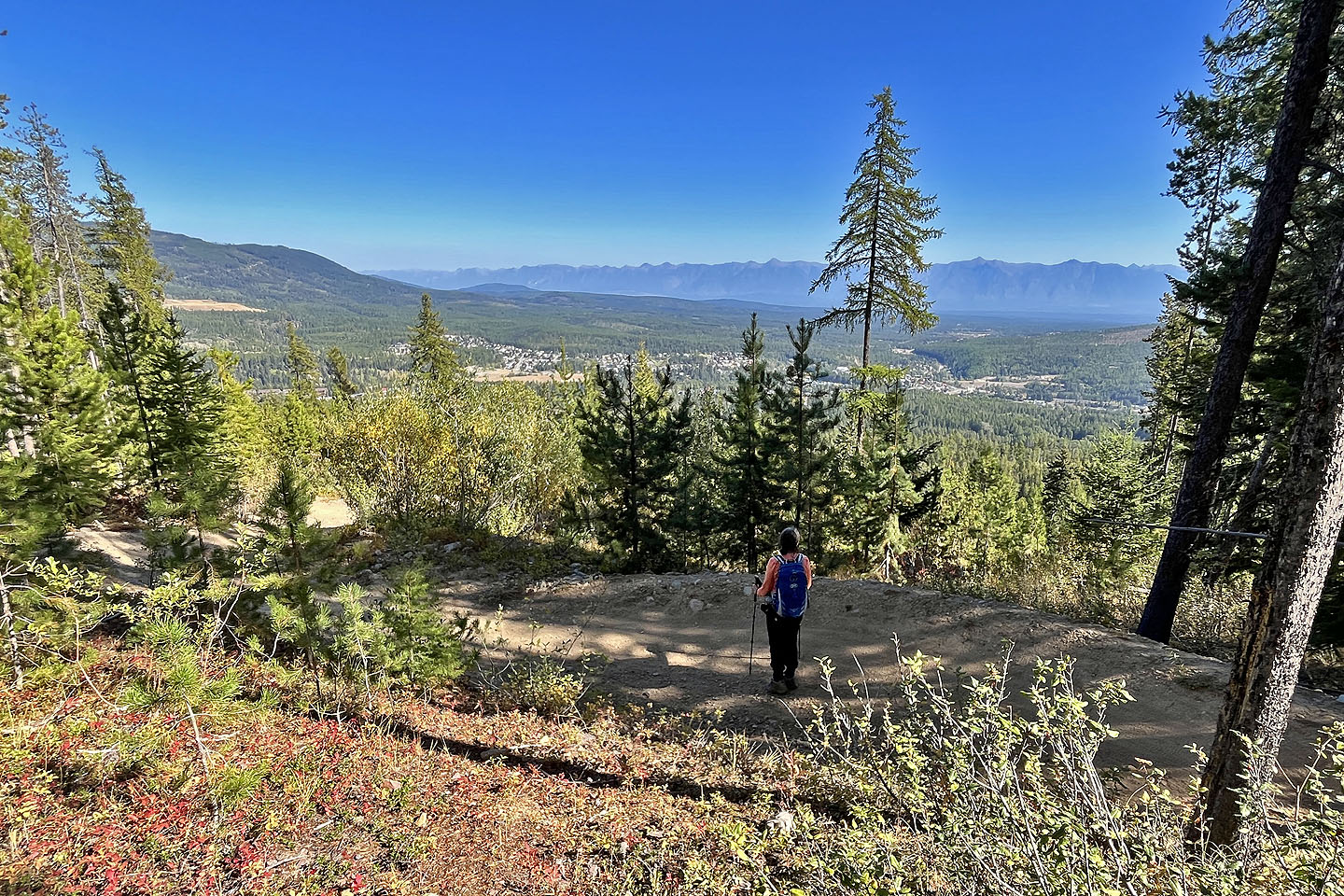
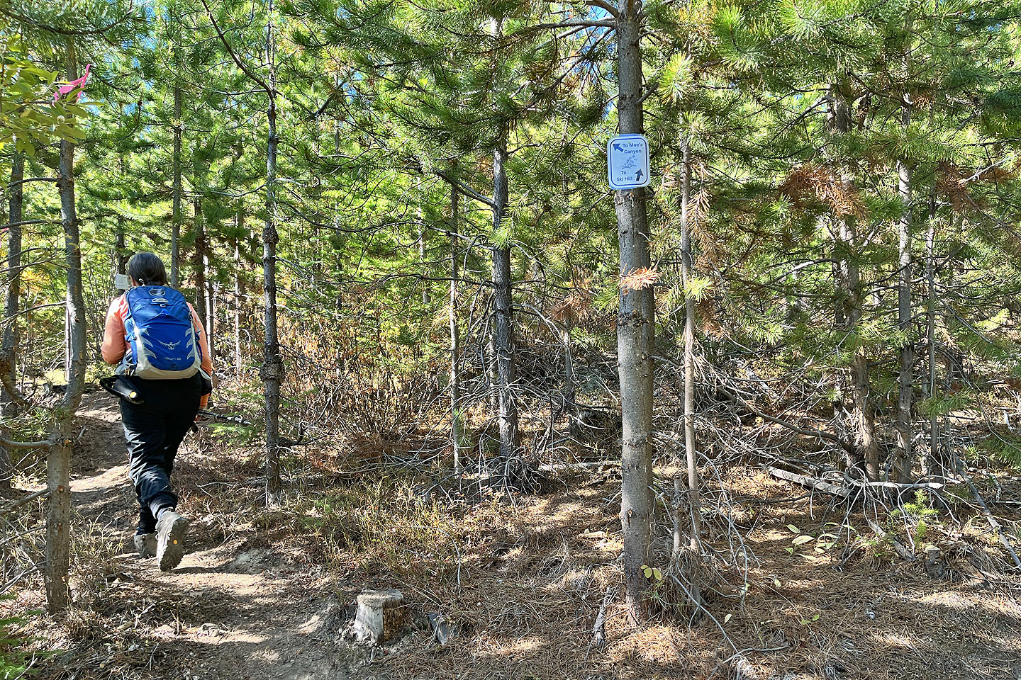 We followed trail signs to Moe's Canyon (mouse over)
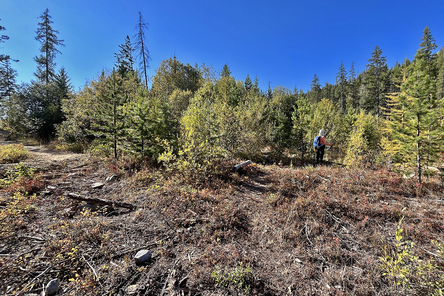 The beginning of the loop. Moe's Canyon is right, but we came down the bike trail on the left.
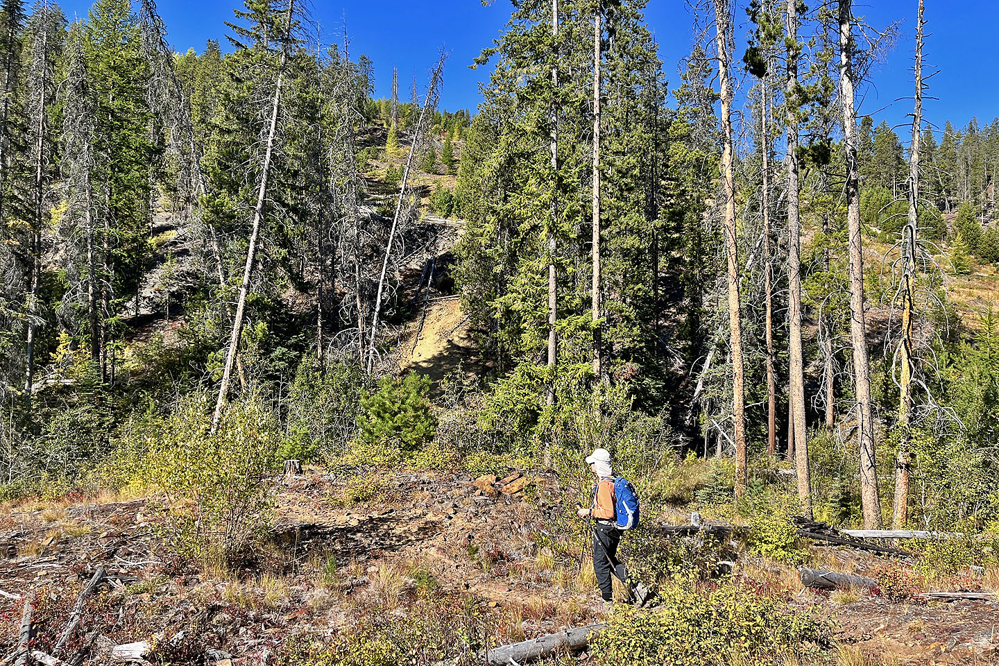 Coming up to the canyon. In the shadow above the yellow path is a cave.
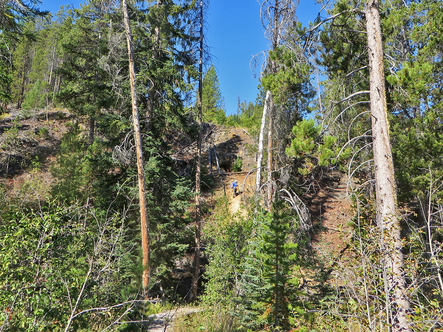 Going up to the cave (mouse over for a close-up)
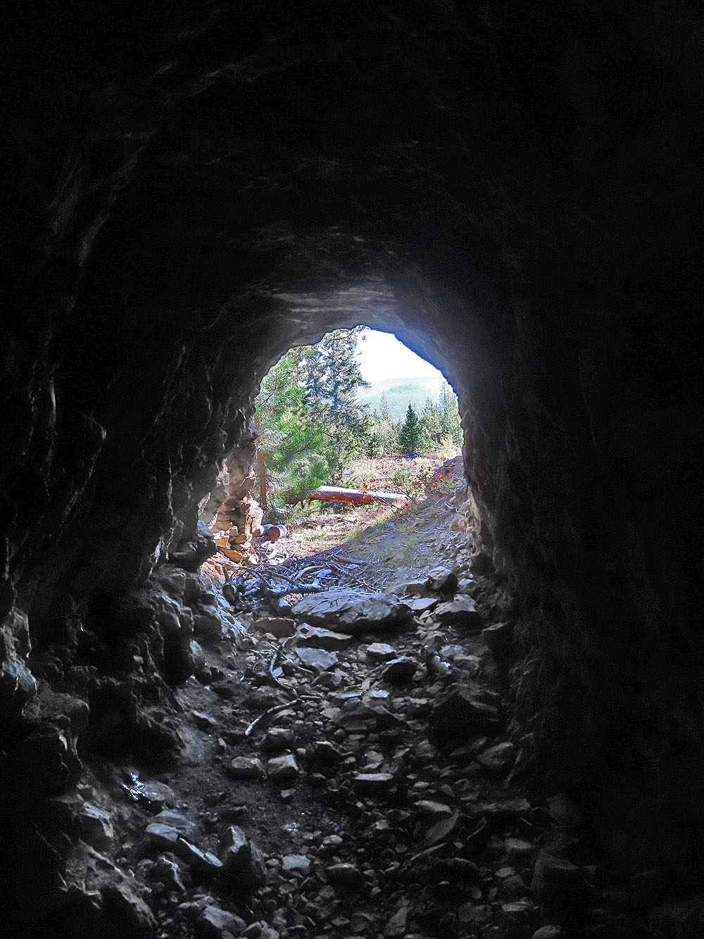
The cave is several metres deep
 Below the cave, back on the trail to Moe's Canyon
Entering the canyon
The trail switches between forest and clearings
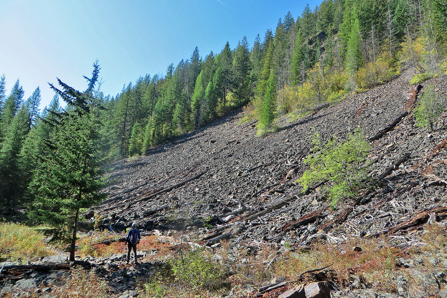 Passing through a clearing
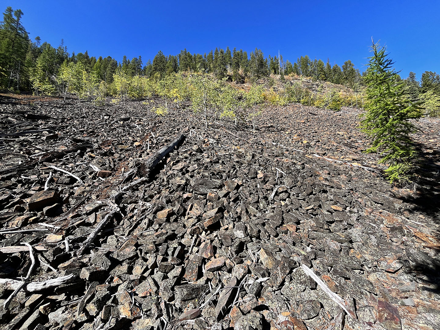 Looking up the slope on the right side

Near the end of the canyon were enormous trees over 3 feet in diameter
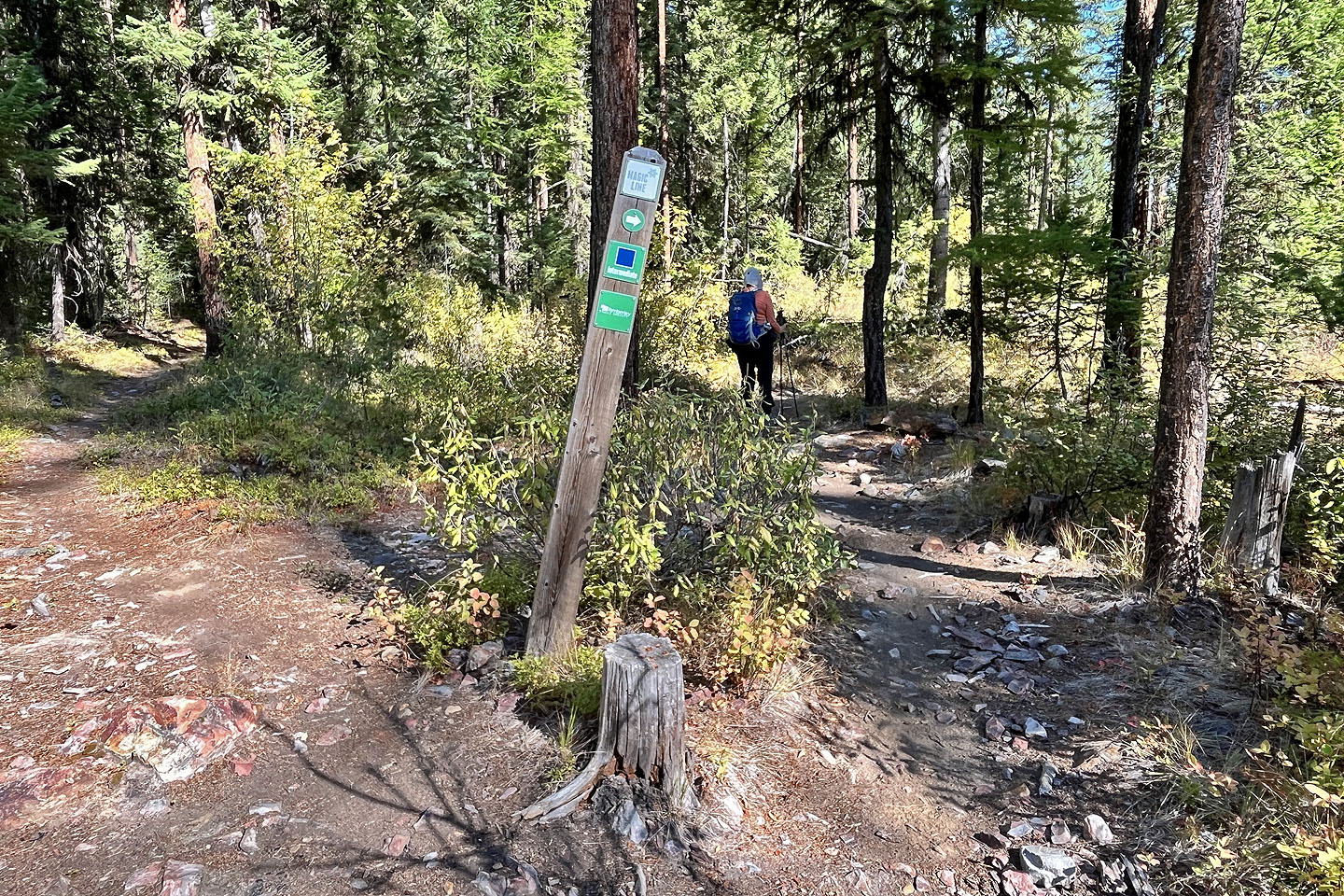 We made a sharp left turn onto Magic Line
 We nearly missed this unsigned left fork
 The trail begins with short switchbacks
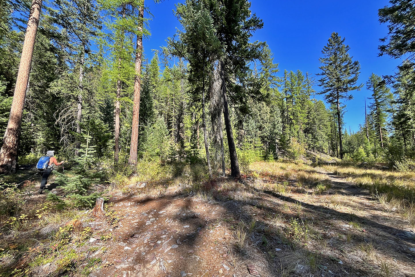
 On the top of the ridge
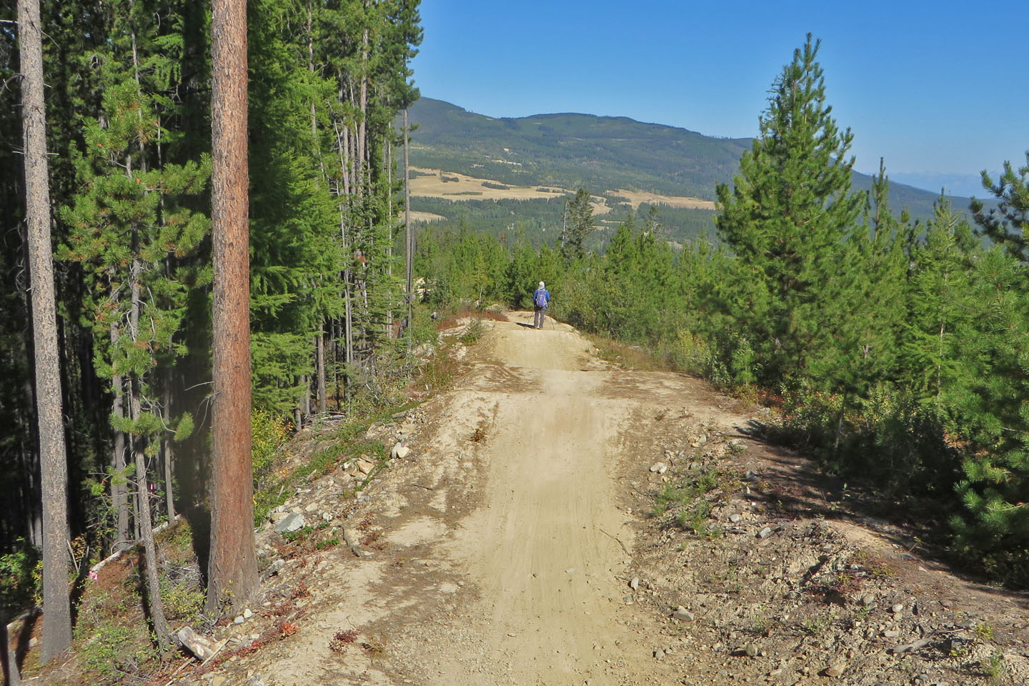
 Going down the mountain bike trail
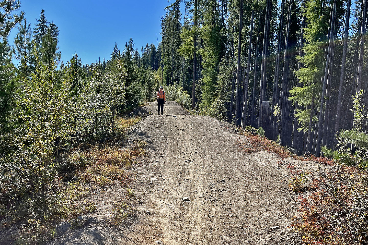
 A trail section offers ups and downs
 Looking back
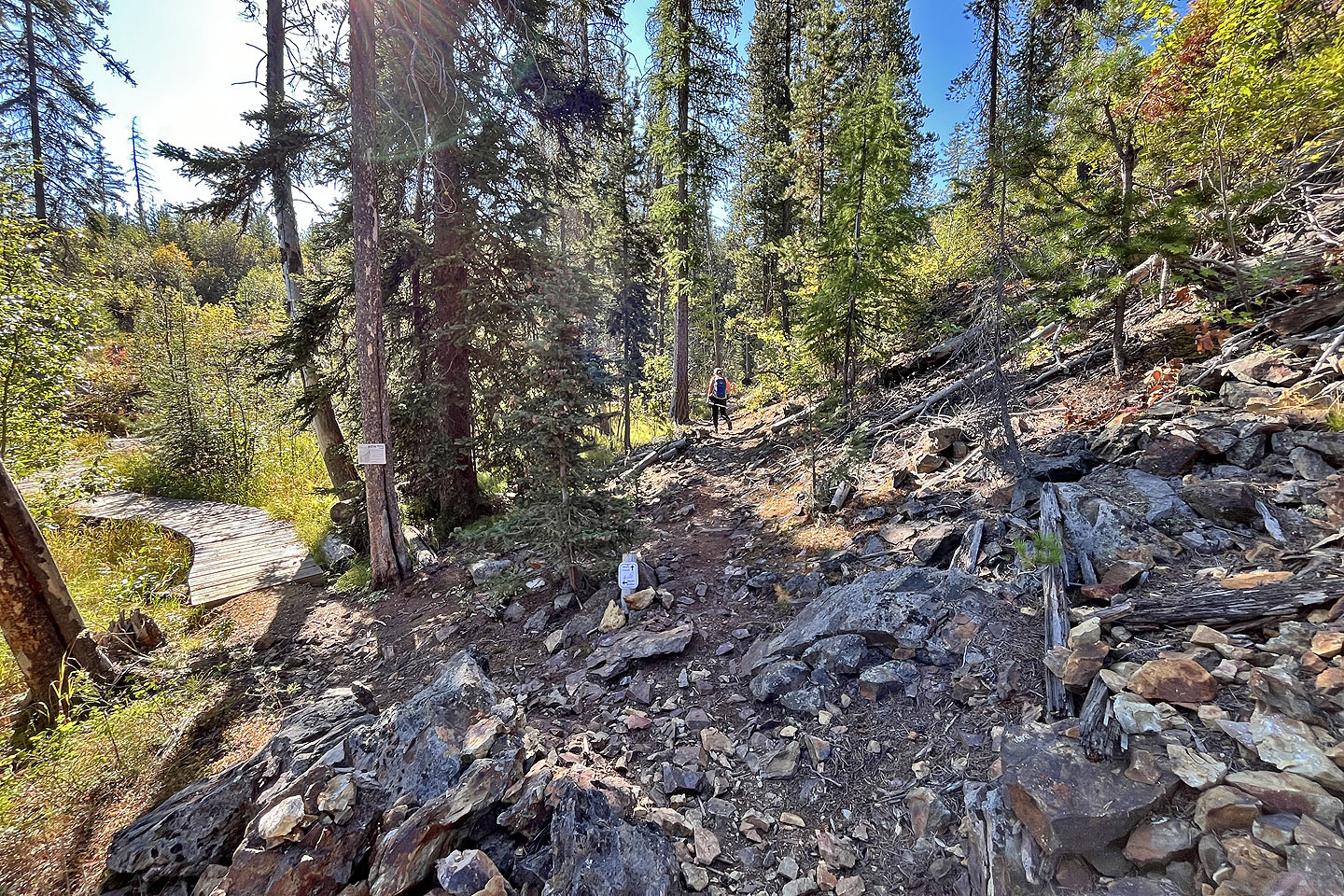
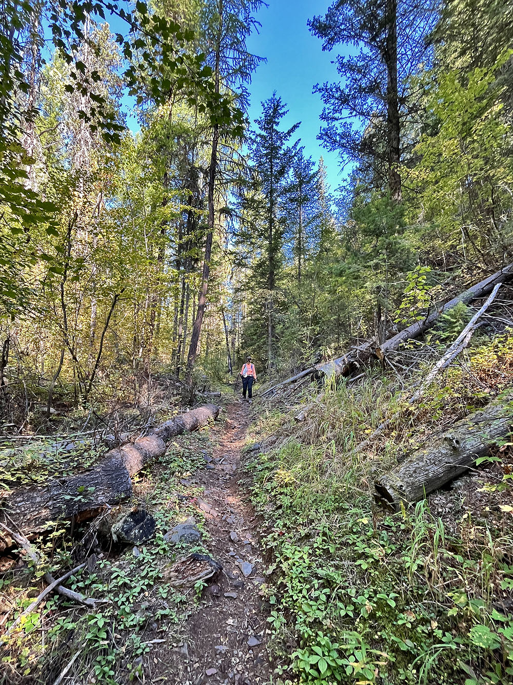
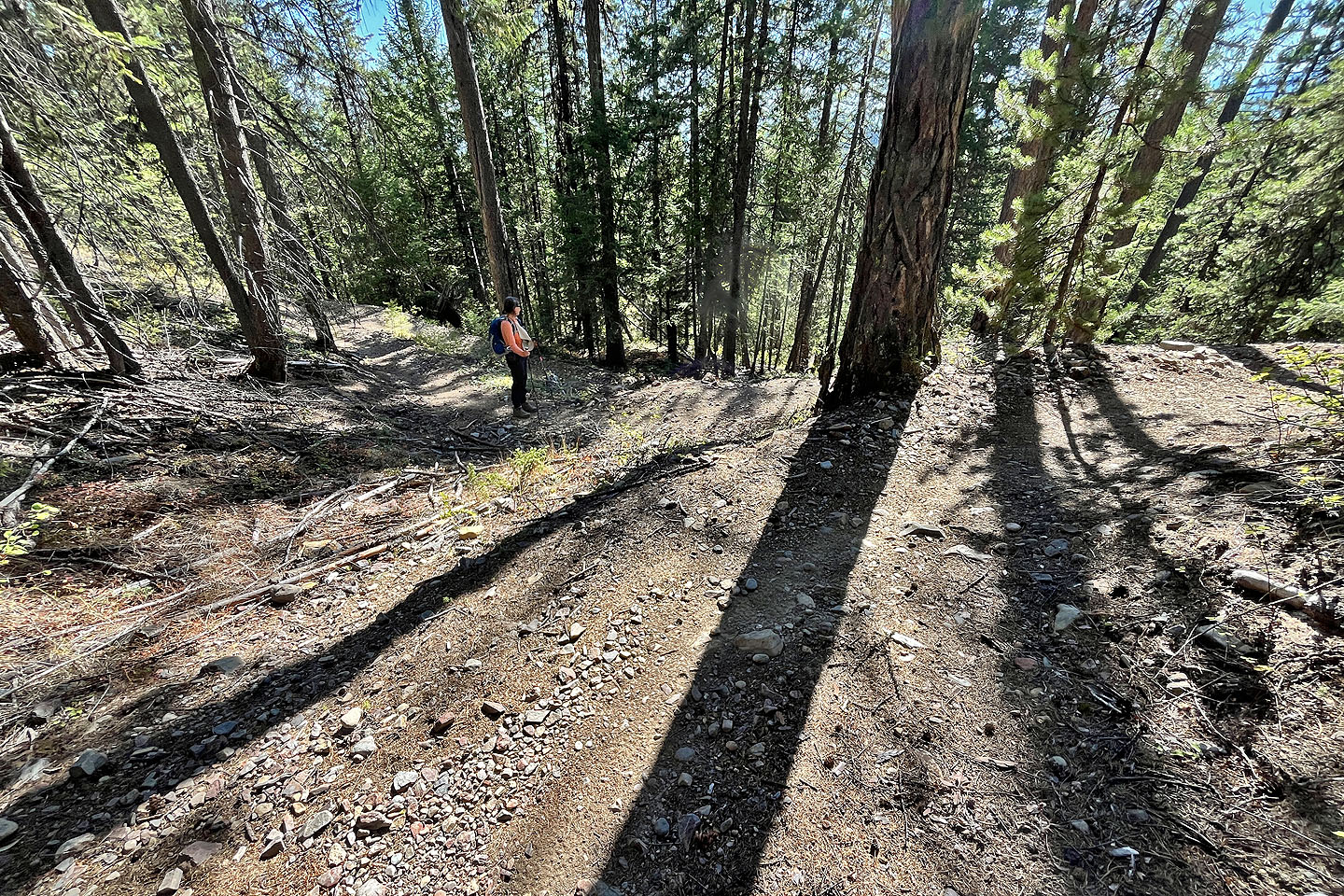
 Back on the hiking trail