bobspirko.ca | Home | Canada Trips | US Trips | Hiking | Snowshoeing | MAP | About
North Star Hill
Kimberley Nordic Centre, B.C.
October 16, 2025
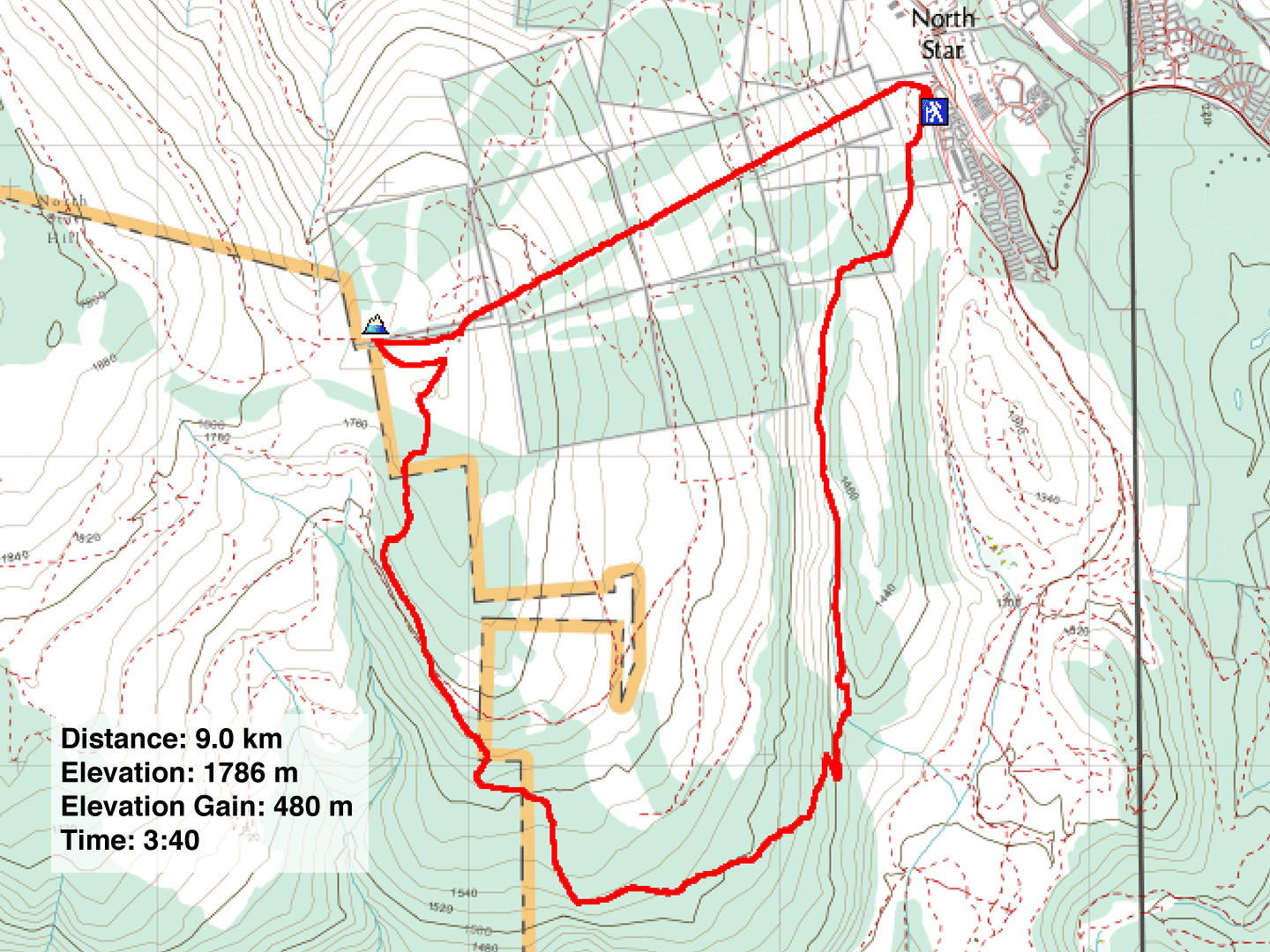
Distance: 9.0 km (5.6 mi)
Cumulative Elevation Gain: 535 m (1755 ft)
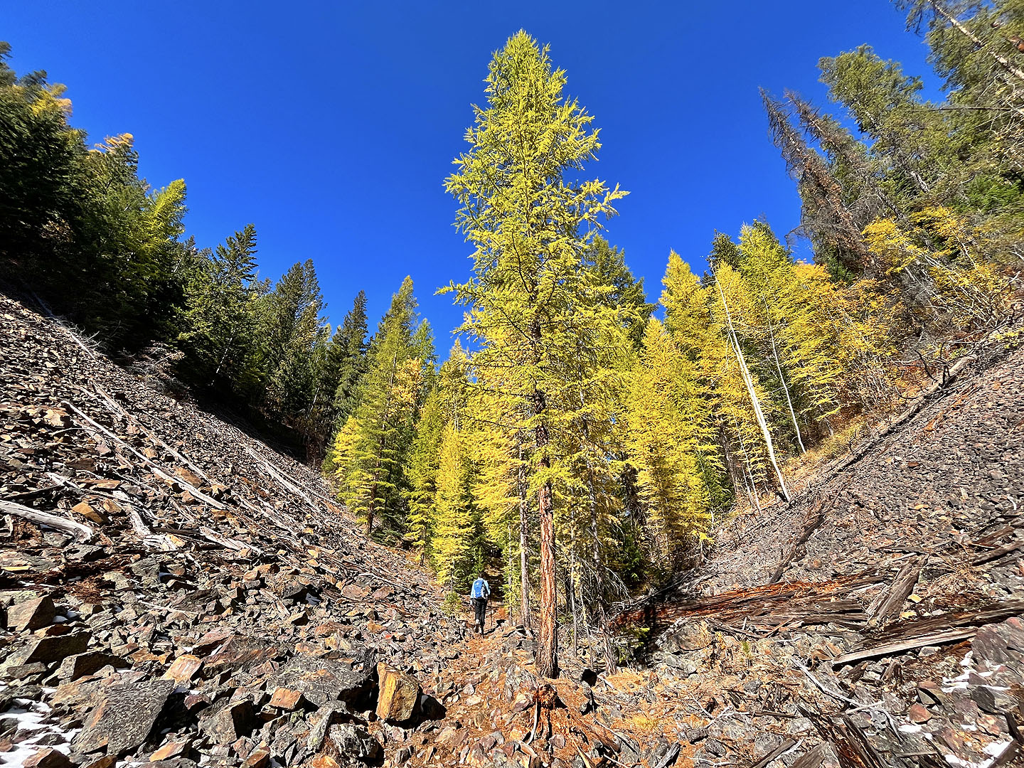
When Dinah and I hiked Moe’s Canyon last month, we were too early to catch the larches turning yellow. This time we timed our visit perfectly, and the trees displayed their stunning fall colours. We took a different loop, up North Star Hill and down Moe’s Canyon.
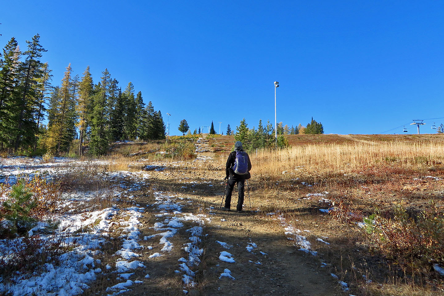
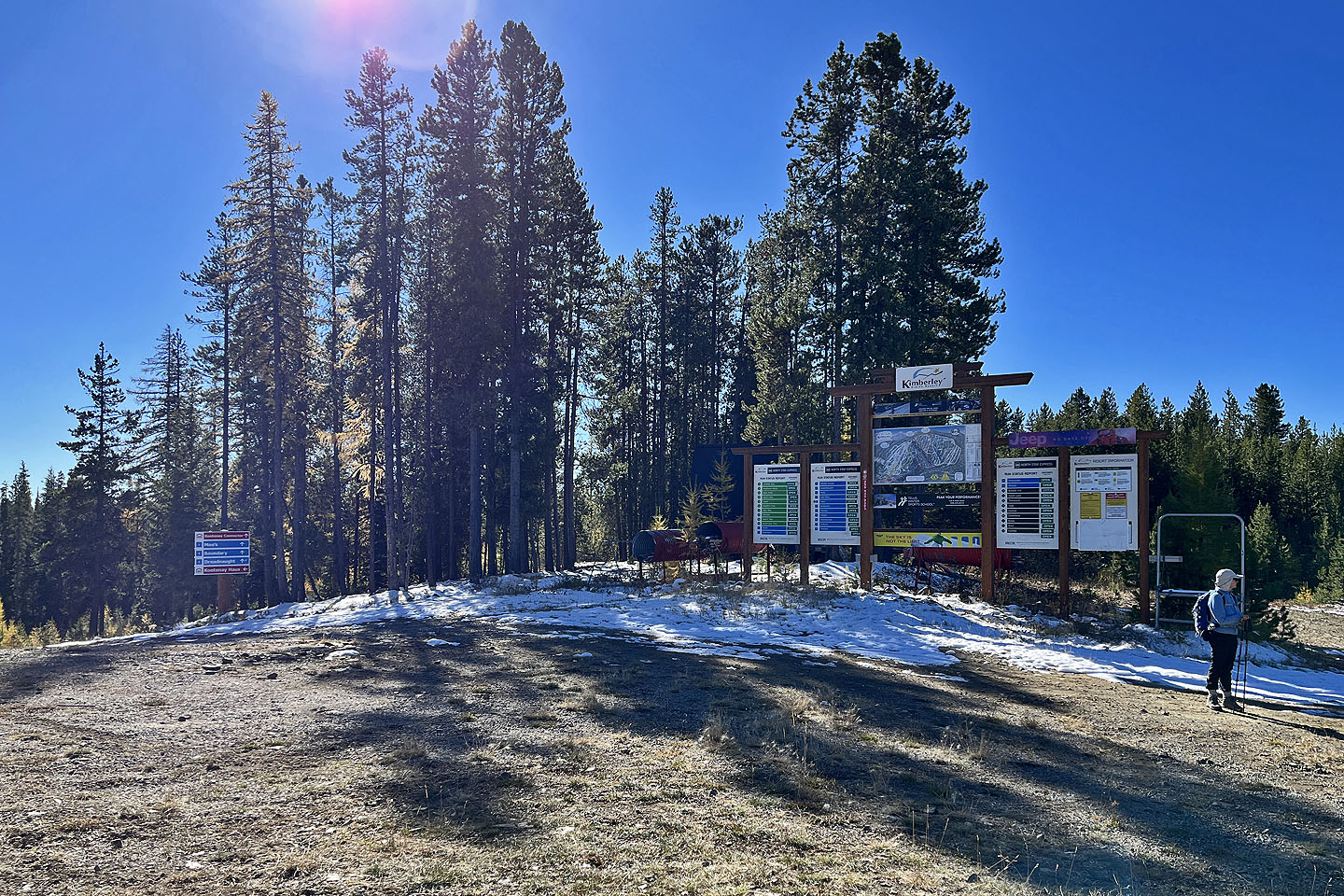
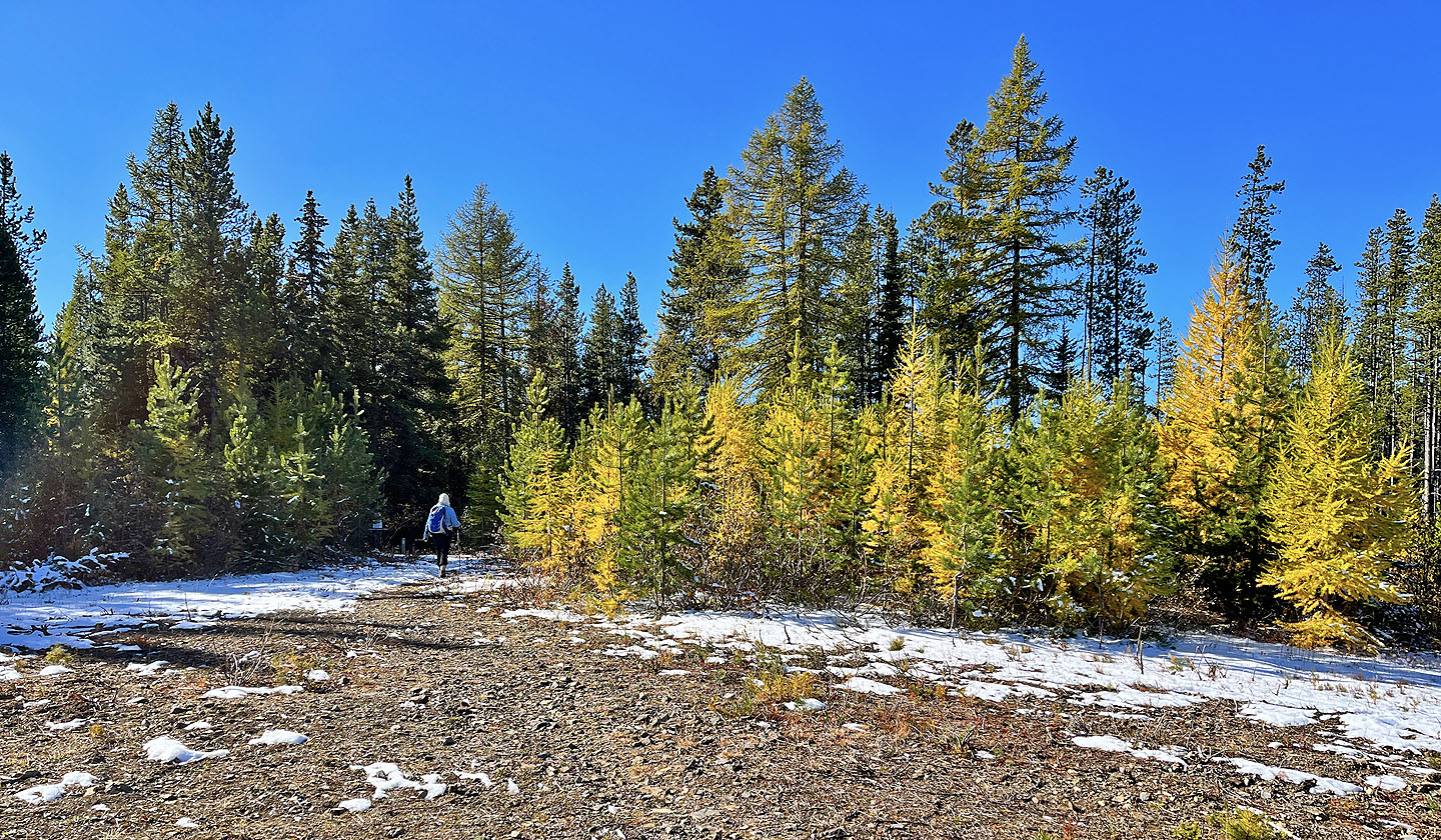
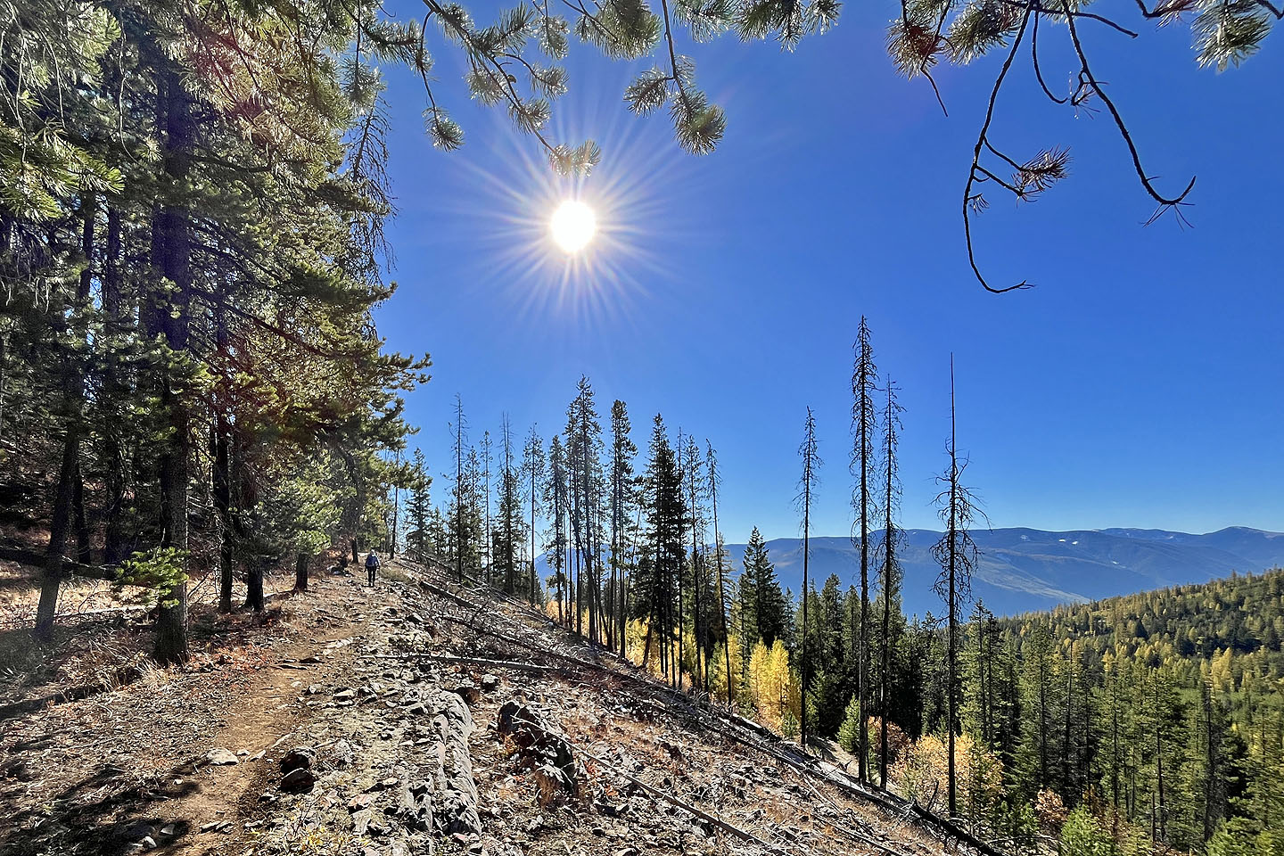
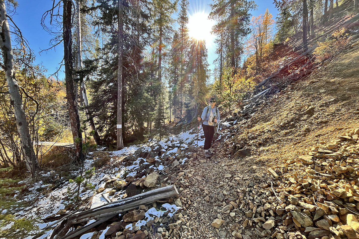
From the parking lot near the chairlift, Dinah and I started up a broad trail. We passed a couple of intersections before reaching Ego Alley Trail. Running parallel to the chairlift, the trail goes straight up a wooded slope. We began seeing yellow larches.
We passed several people coming down. One hiker explained that the trail was the site of an old T-bar lift. He added that a couple in their eighties go up North Star Hill “every day” during the hiking season.
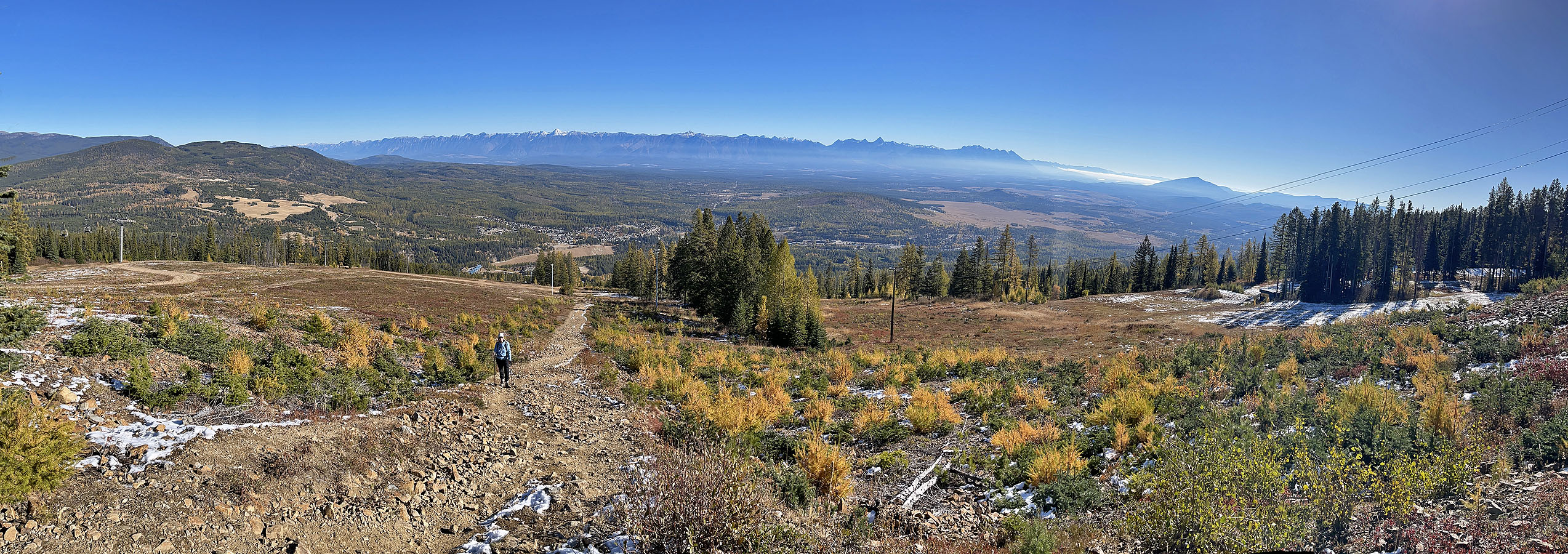
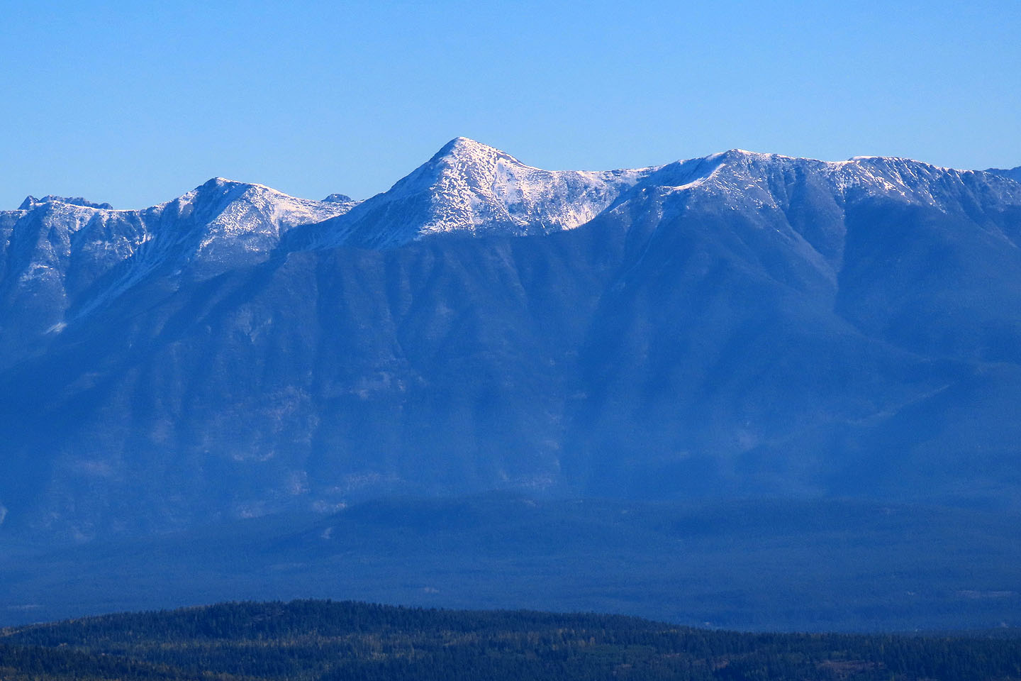
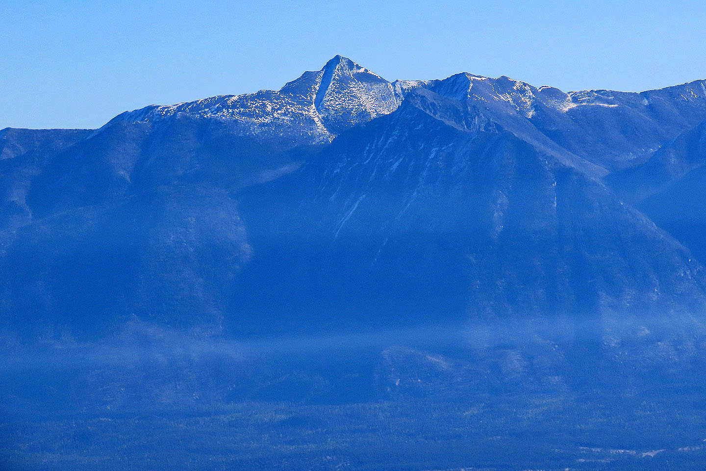
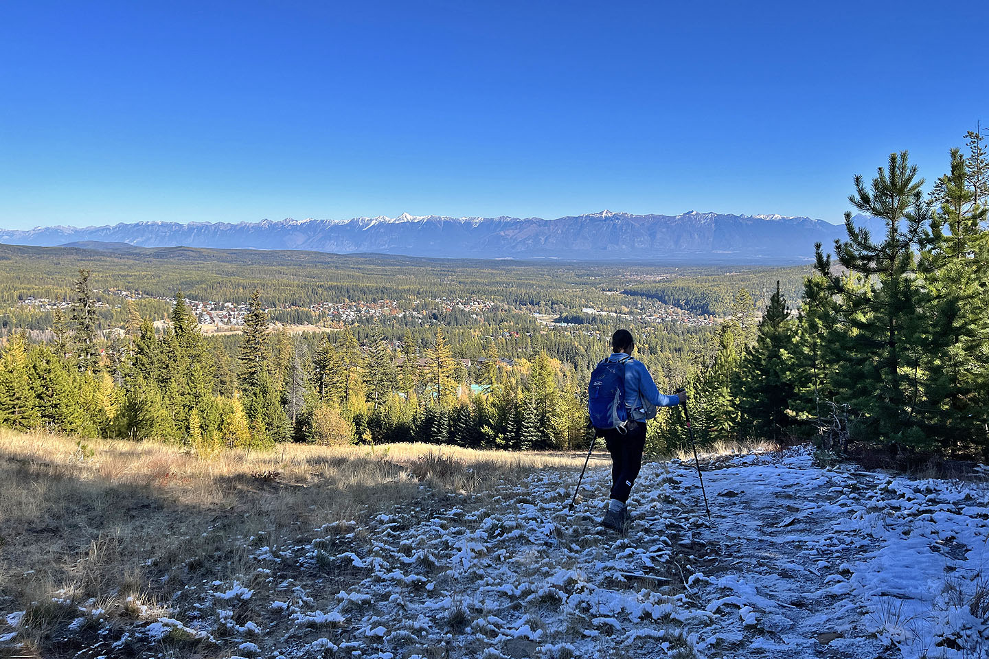
The trail ends at the top of the old T-bar lift in a clearing. From there, we gazed back across the Rocky Mountain Trench to an impressive sight. Stretching across the east horizon over 30 kilometres away were the Rockies.
Few hikers probably venture higher, but we walked 250 m up a road through the trees to the top of a hill. Maps differ on the location of North Star Hill. Some, like the map below, said the higher, treed ridge west is the summit. Others indicated we were on North Star Hill, and a large sign in front of us called the higher point Vimy Ridge.
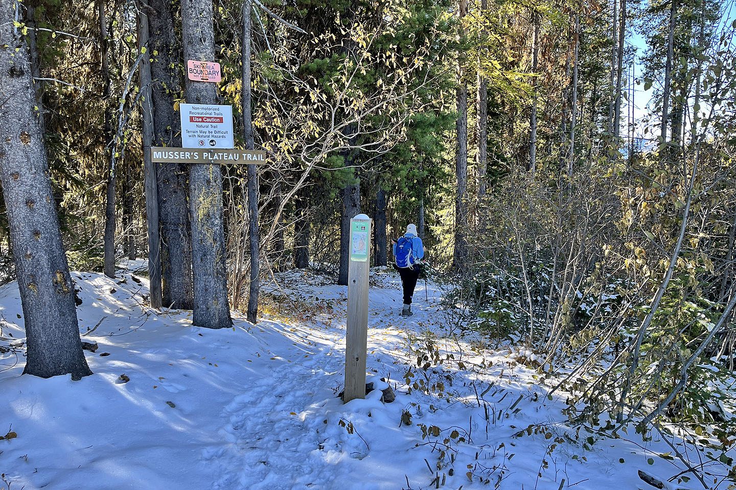
There was little to see as a chairlift station occupies the top and we soon headed back. A brief walk brought us
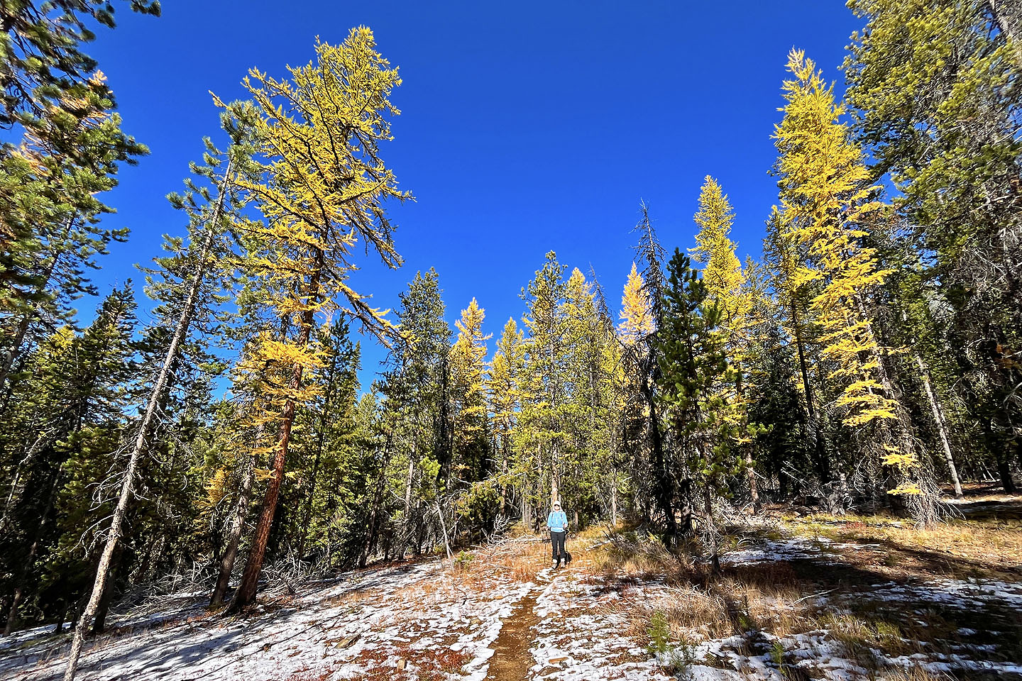
to Musser’s Plateau Trail. It descends through forest with scattered larches. We passed through small clearings,
but the views were unremarkable. Eventually, we reached Moe’s Canyon. In clearings, the larches really glowed.
At the end of the canyon, we followed the trail back to the parking lot, happy we returned in mid-October when
the larches were turning yellow.
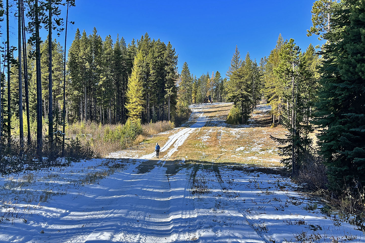
 North Star Hill ahead
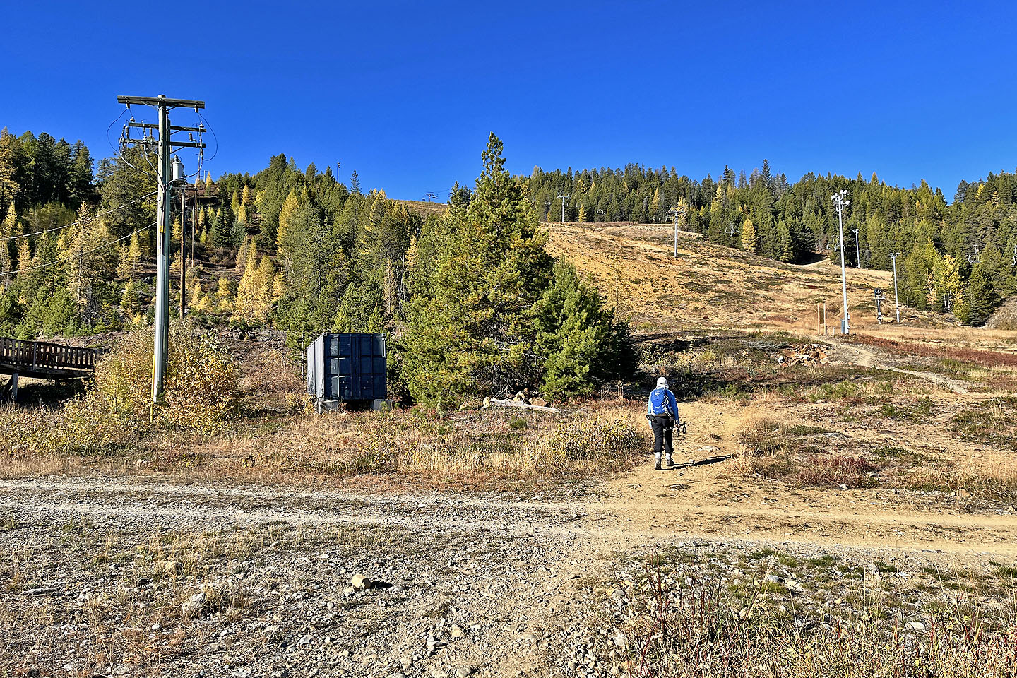 Ego Alley runs parallel to the chairlift
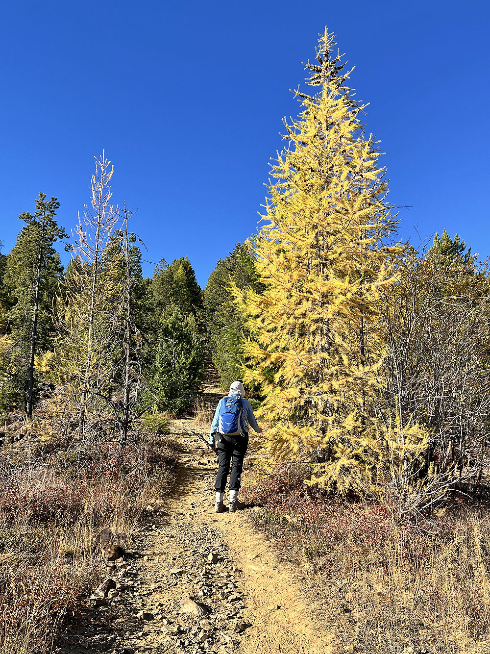
Dinah stops to touch the soft needles of a yellow larch

A T-bar lift used to run up here
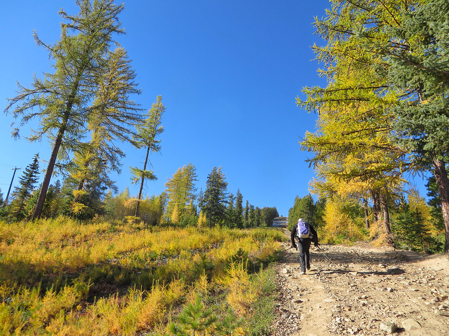 The trees began to thin
 The Rockies are over 30 km away. The two
prominent peaks are Teepee Mountain and Mount Bill Nye.
The Rockies are over 30 km away. The two
prominent peaks are Teepee Mountain and Mount Bill Nye.
 Teepee Mountain (centre) and Mount Stevens (right)
 Mount Bill Nye
 Ahead there's a lift tower
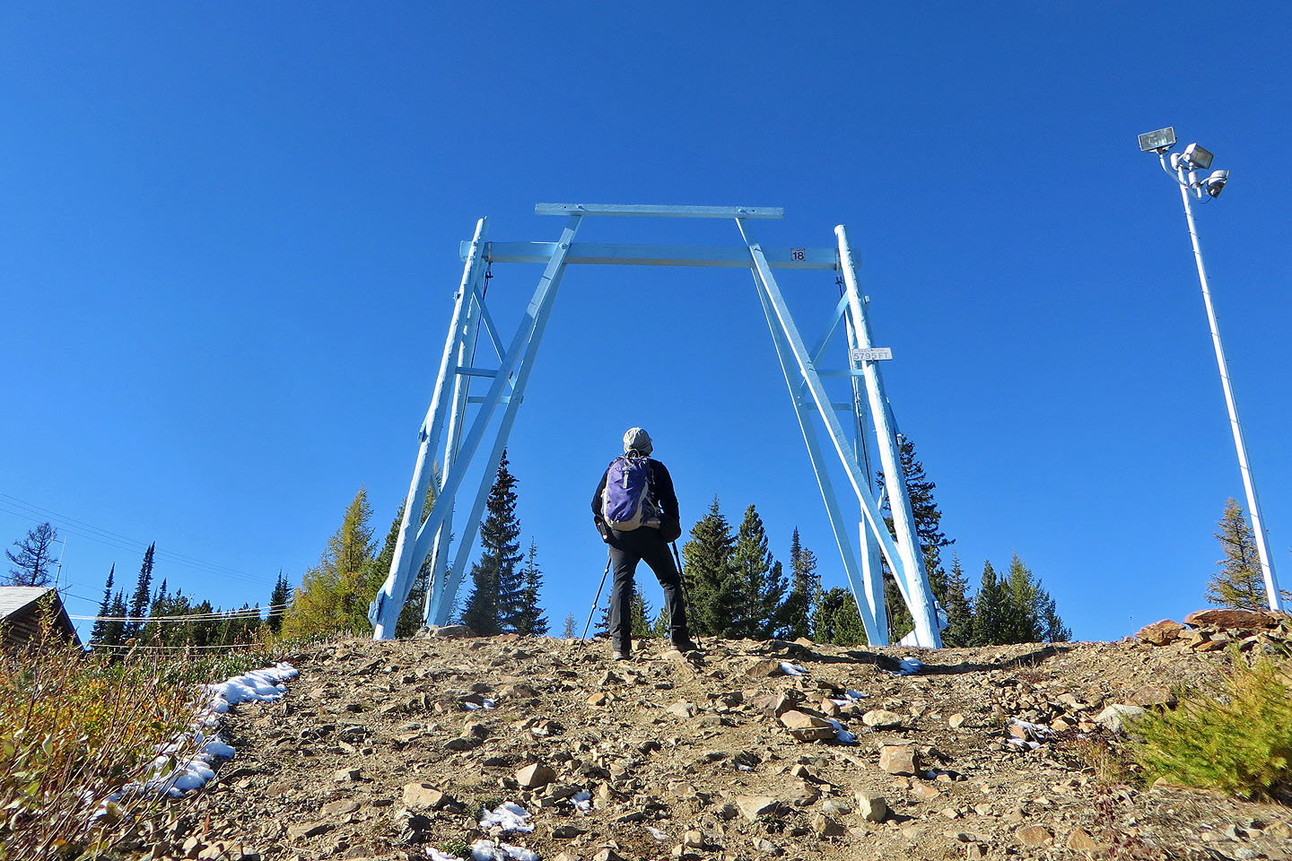 Signs say: TOWER 18, ELEVATION 5795 FT
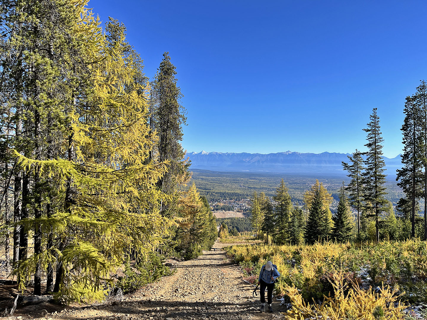
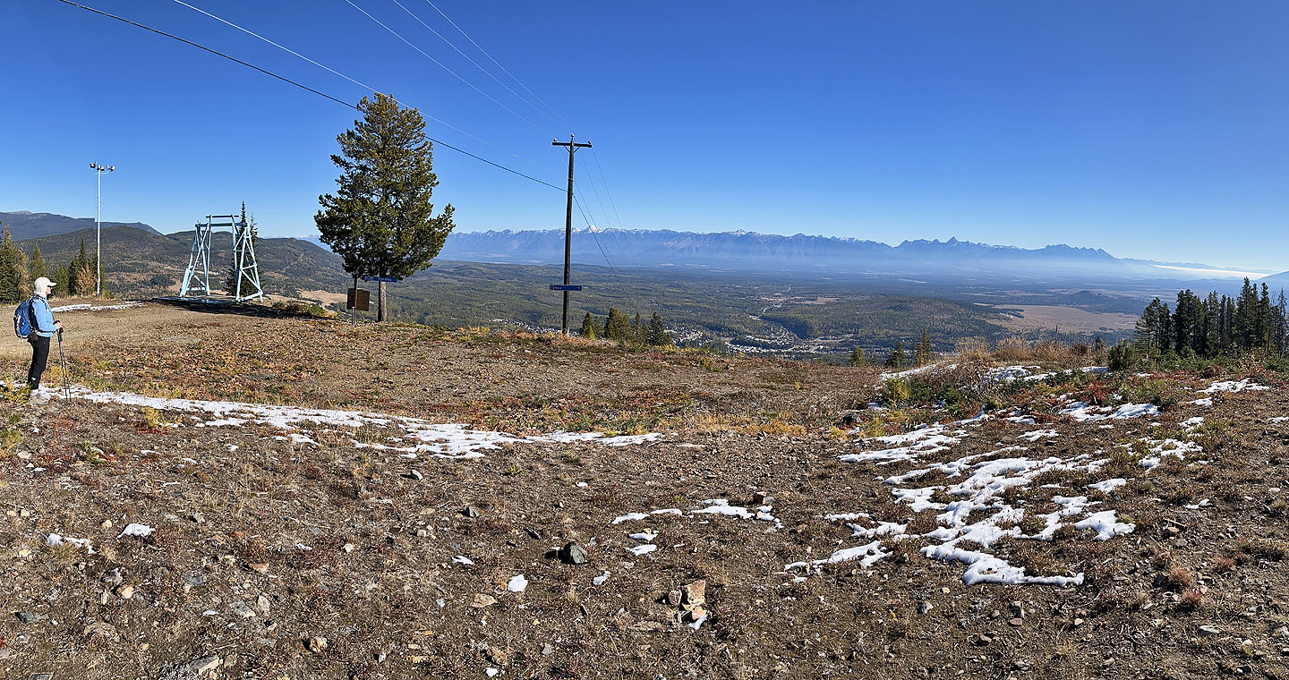 Looking back across the Rocky Mountain Trench
 It's a short walk to the top of the hill
from the lift tower
It's a short walk to the top of the hill
from the lift tower
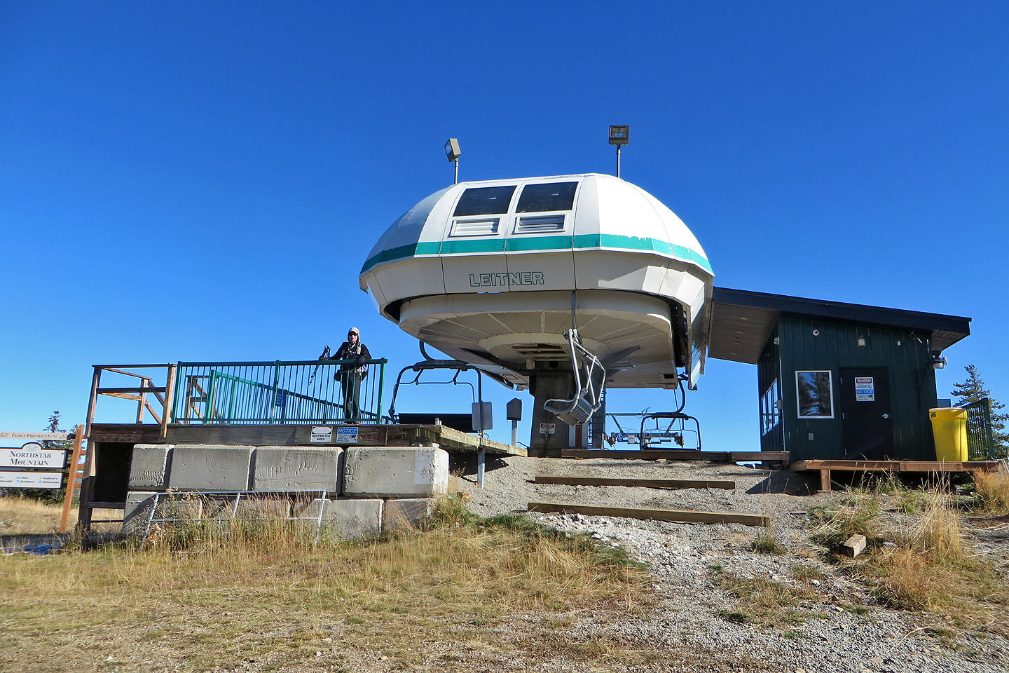 A chairlift station occupies the summit
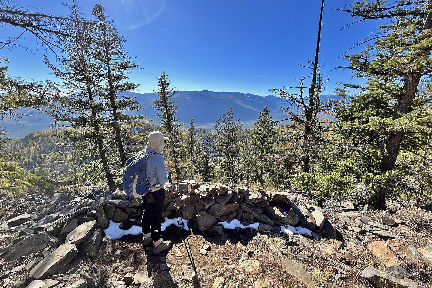
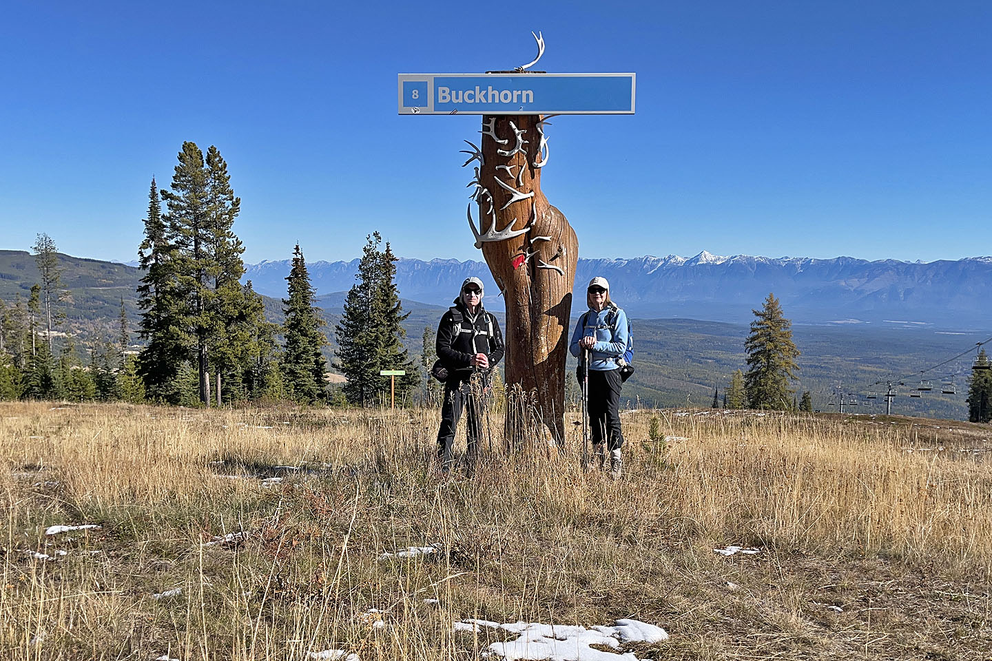 We stood under a sign near the summit
 According to the white sign left, Vimy Ridge
is ahead
According to the white sign left, Vimy Ridge
is ahead
 Signs at the top for skiers. We went left.
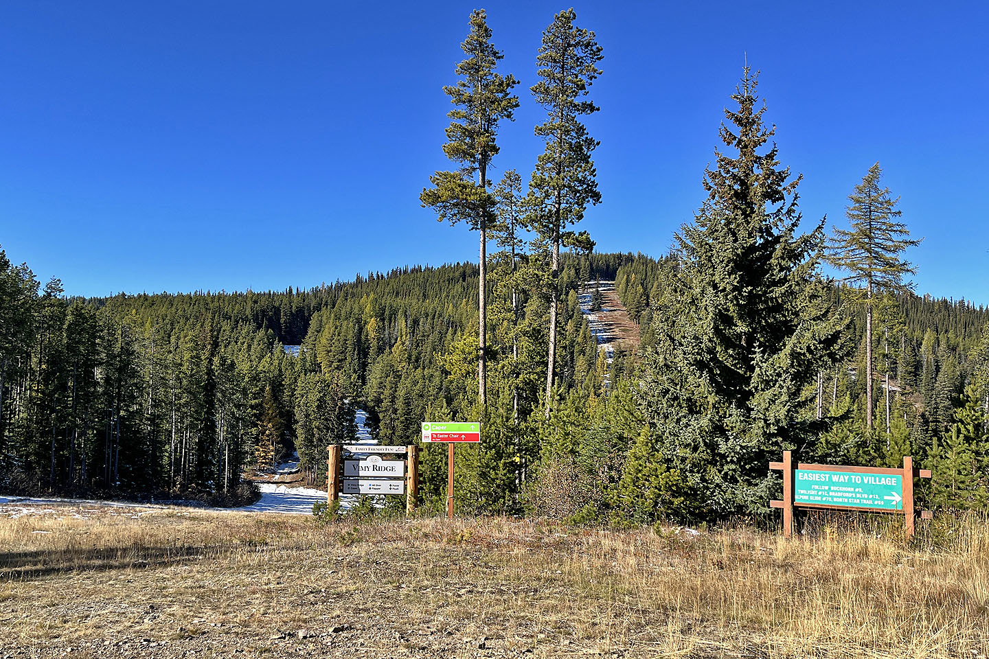
 We headed to Musser's Plateau Trail
 Starting on the trail
 We passed several larches
 The trail winds through the forest, but there
are several clearings
The trail winds through the forest, but there
are several clearings
 We stopped at a viewpoint but Dipper Lake was barely visible because of trees (mouse over)
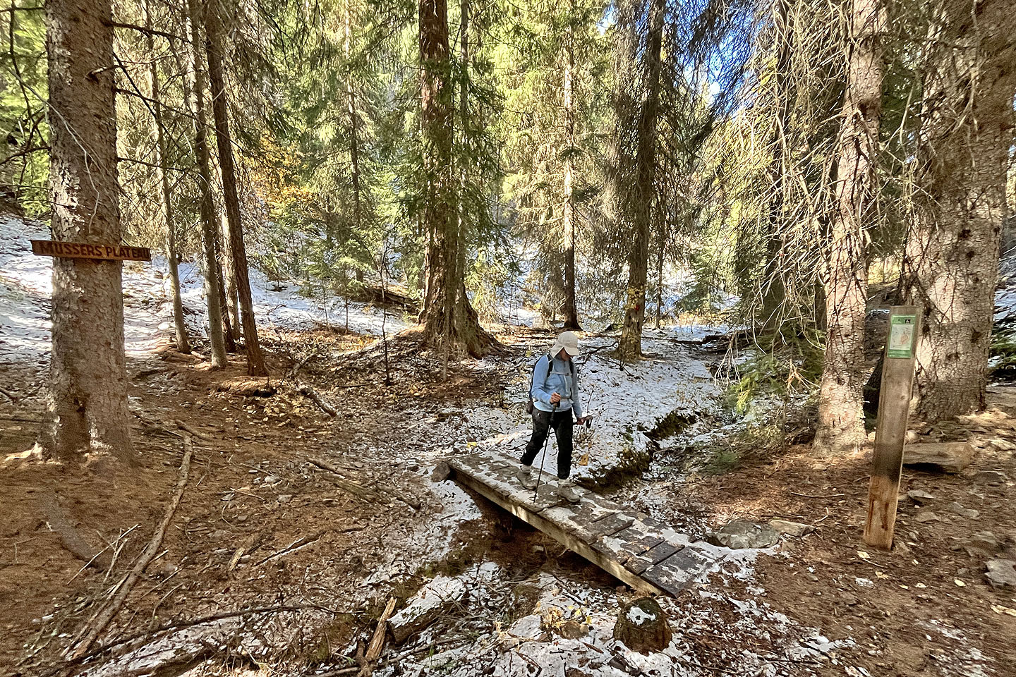 A footbridge connects Musser's Plateau to Moe's
Canyon
A footbridge connects Musser's Plateau to Moe's
Canyon
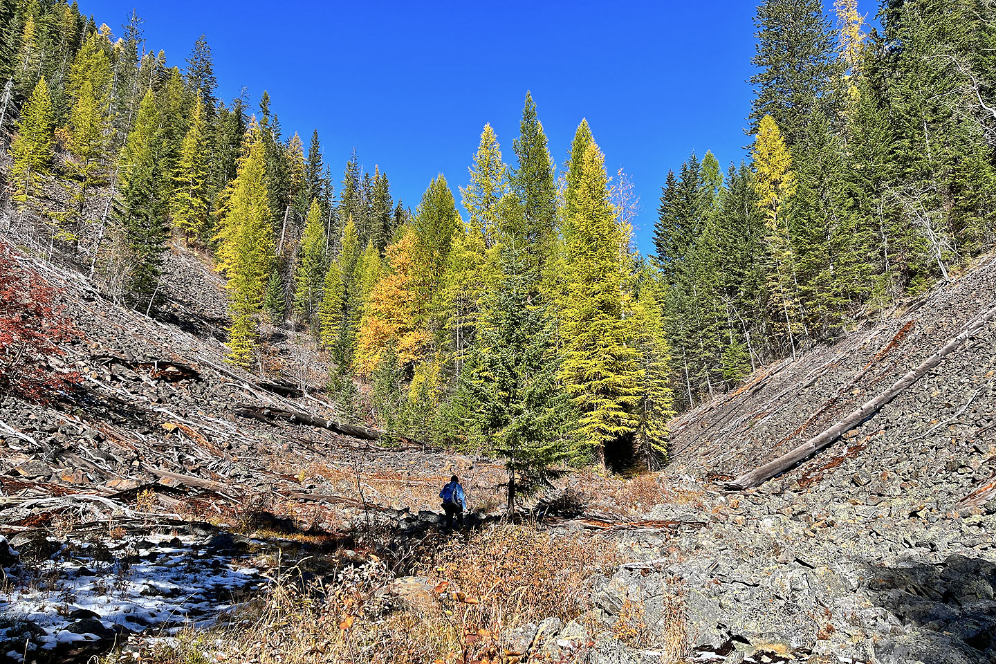 The best larch scenery appeared in clearings in
Moe's Canyon
The best larch scenery appeared in clearings in
Moe's Canyon
 Continuing up the canyon
 The last time we were at this junction, we came
from the boardwalk left and climbed the slope on the right to a cave.
The last time we were at this junction, we came
from the boardwalk left and climbed the slope on the right to a cave.
 We'll soon be back at the car