bobspirko.ca | Home | Canada Trips | US Trips | Hiking | Snowshoeing | MAP | About
Merry Creek Loop
Castlegar, B.C.
June 23, 2025
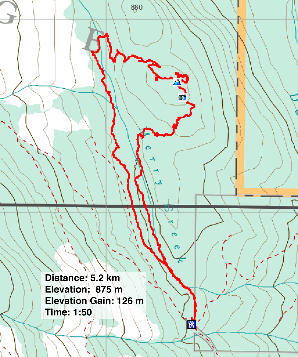
Distance: 5.2 km (3.2 mi)
Cumulative Elevation Gain: 126 m (413 ft)
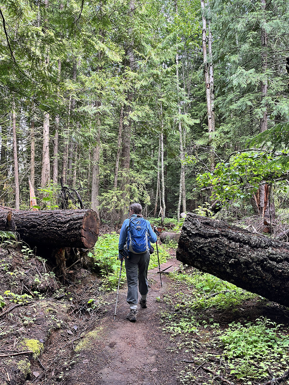
Just west of Castlegar is Merry Creek Hiking Loop which traverses an unnamed hill. Dinah and I enjoyed a quick morning trip here, followed by an afternoon hike east of the city. We brought along bear spray, although we didn't see any until we were driving back. A couple of hundred metres from the trailhead, a black bear and a cub dashed into the forest from the road.
The trailhead is at the end of a long gravel road with a big parking area that serves several trails, mostly for mountain bikers. But we were there to hike up the hill overlooking Merry Creek.
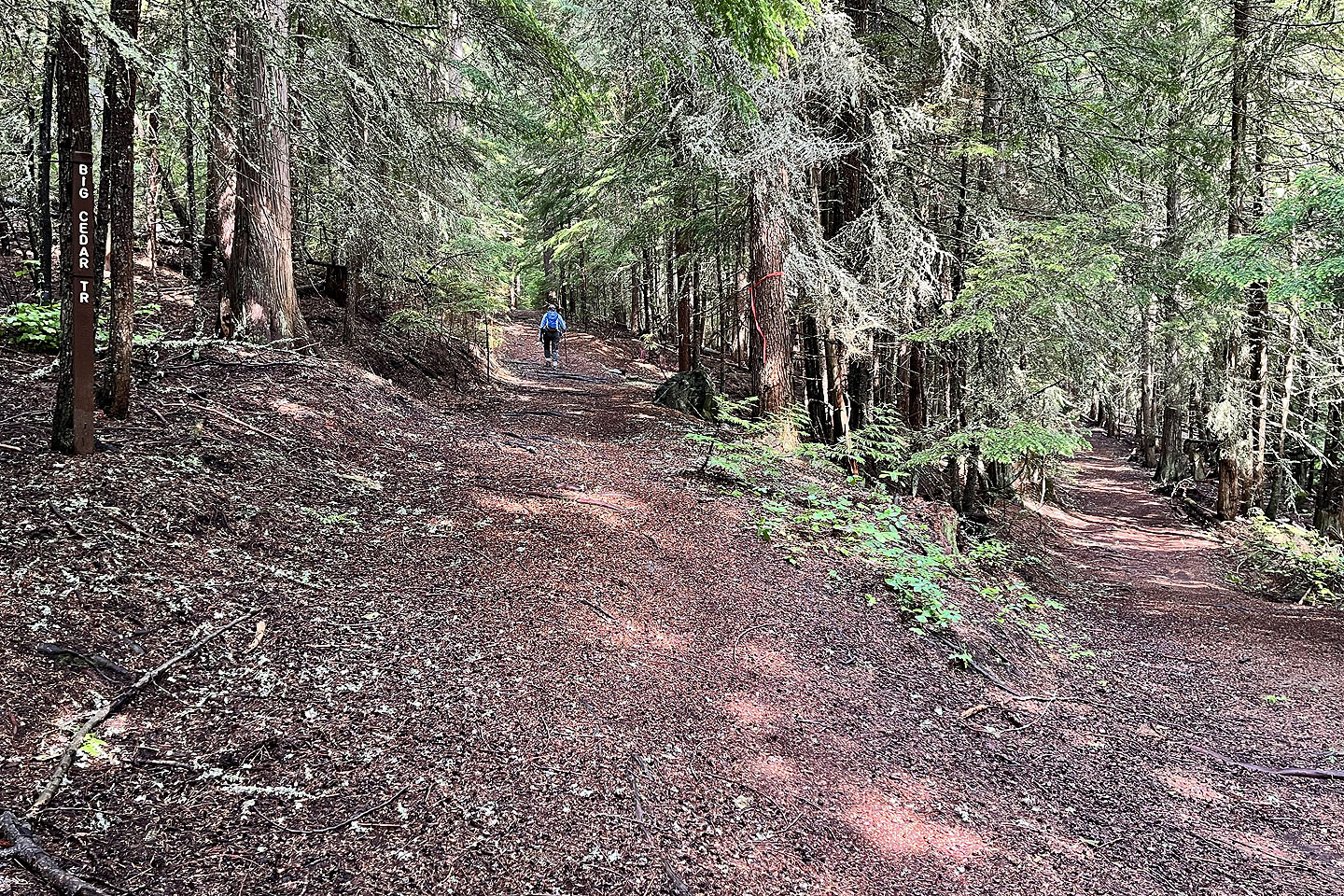
We started on a wide trail through a serene forest and soon reached a fork, marking the start of the loop. We took the left path, which barely climbed at first. Only after a sharp right turn did it gently ascend.
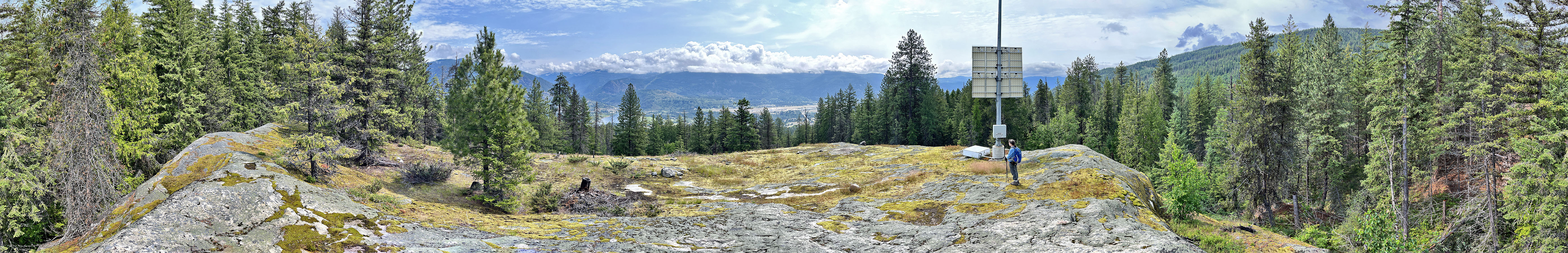
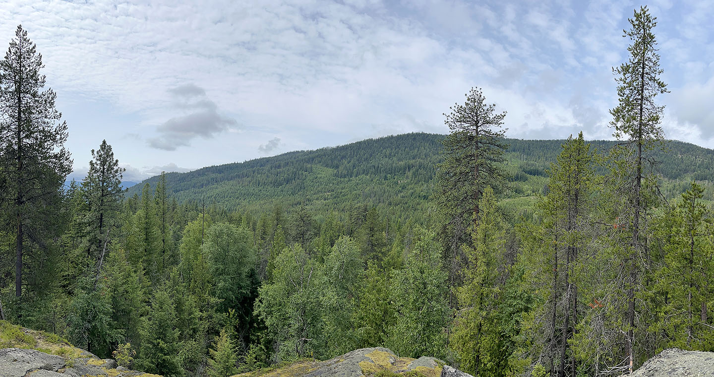
We soon passed outcrops, with the hill appearing dotted with enormous smooth rocks. We climbed the largest ones, thinking any could be the summit. However, reviewing our track later, I realised the summit seemed to be an unremarkable point on the trail, with the high points varying by only a few metres. The only notable high point is a large clearing on a massive rock, offering views of the other side of the Columbia River Valley, where our afternoon hike, Dove Hill, was located.
After taking in the scenery on the viewpoint, we merrily continued along the loop, finding things of interest along the way. For a short, easy hike, Merry Creek Loop has a lot to offer.
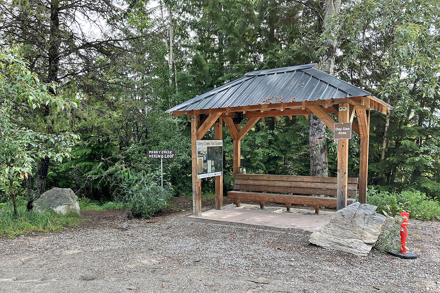 No chance of missing the trailhead
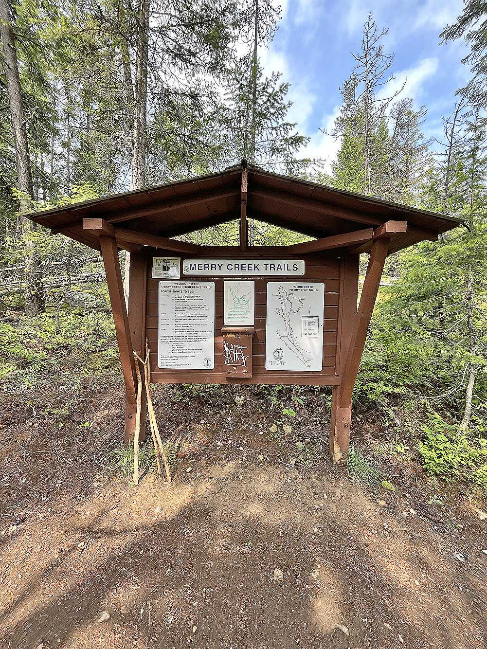
About 100 m in, there's a kiosk displaying information including a trail map (mouse over)
We kept left at the fork, the beginning of the loop
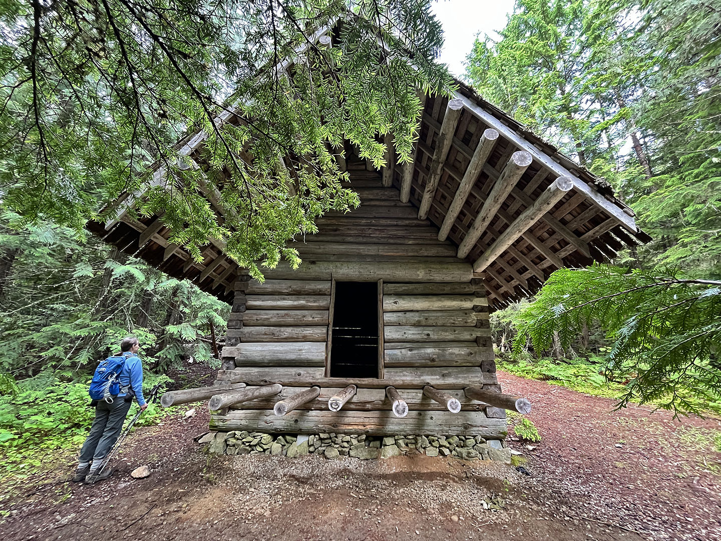 We passed an unusual cabin
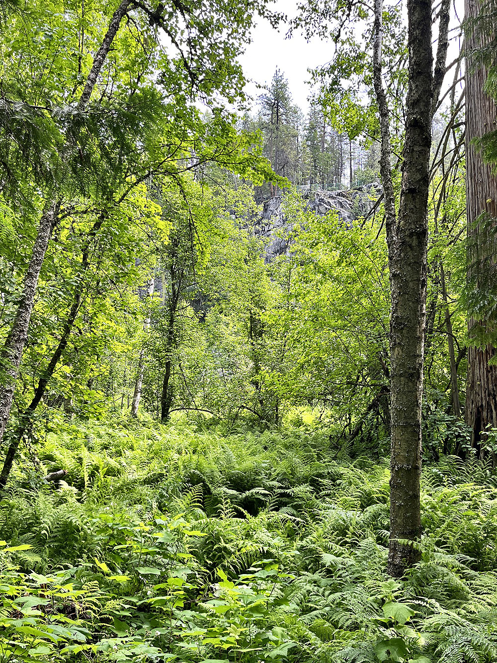
A break in the trees revealed a viewpoint topped by a fence where
Valley Trail runs. It's not a trail we took, however.
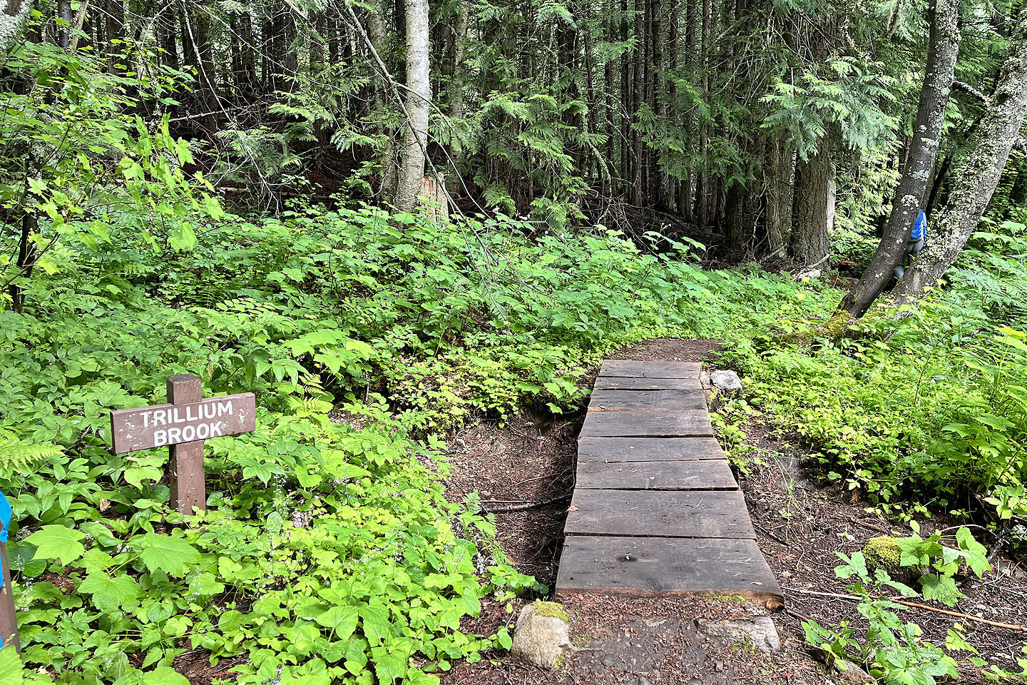
A tiny footbridge crosses a dry stream
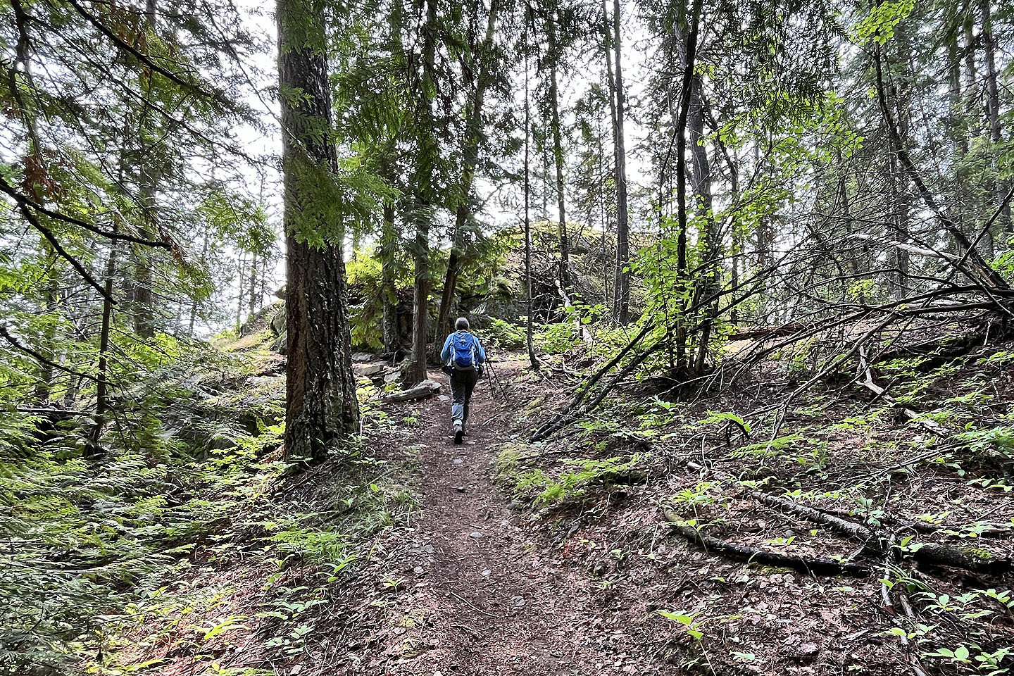
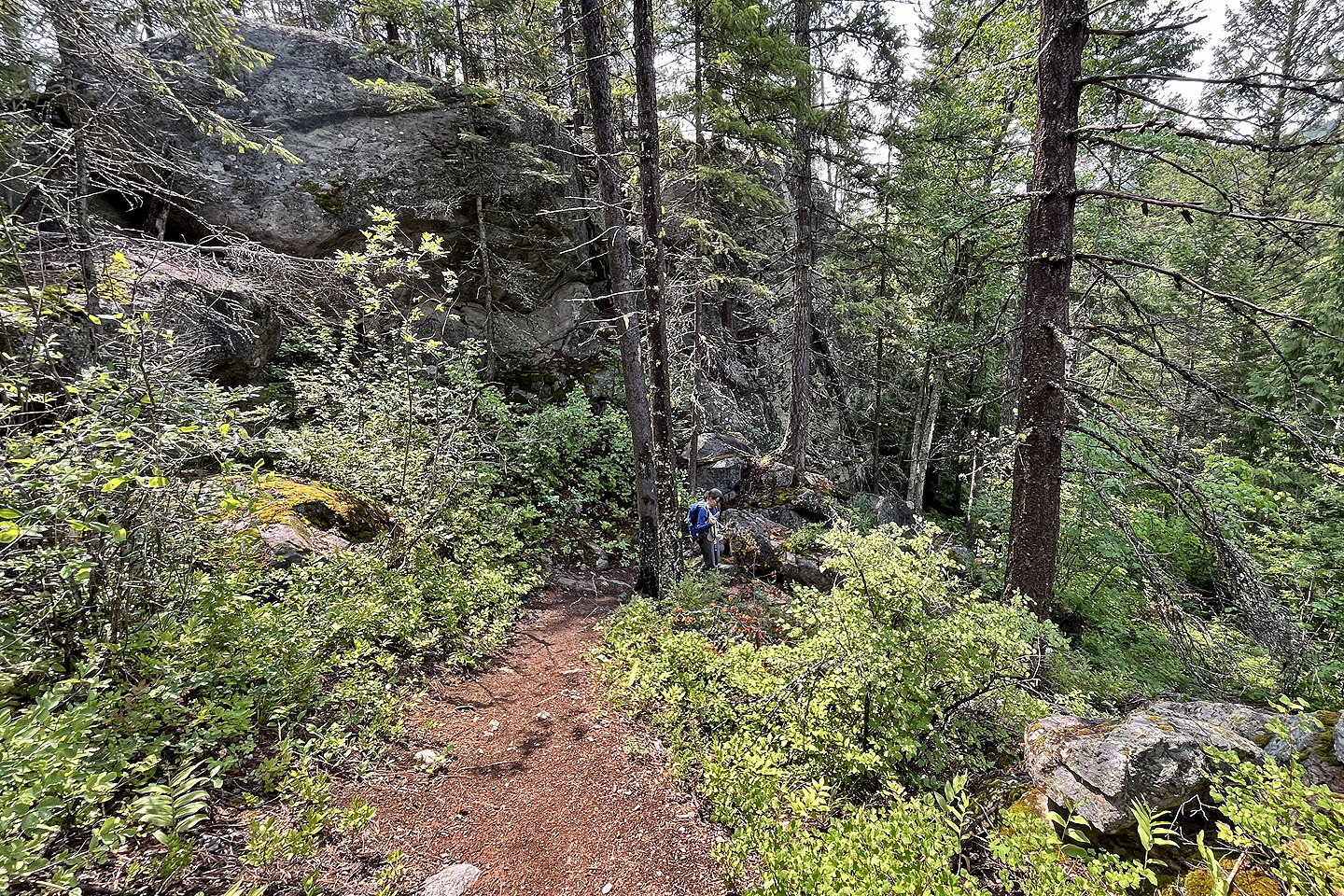
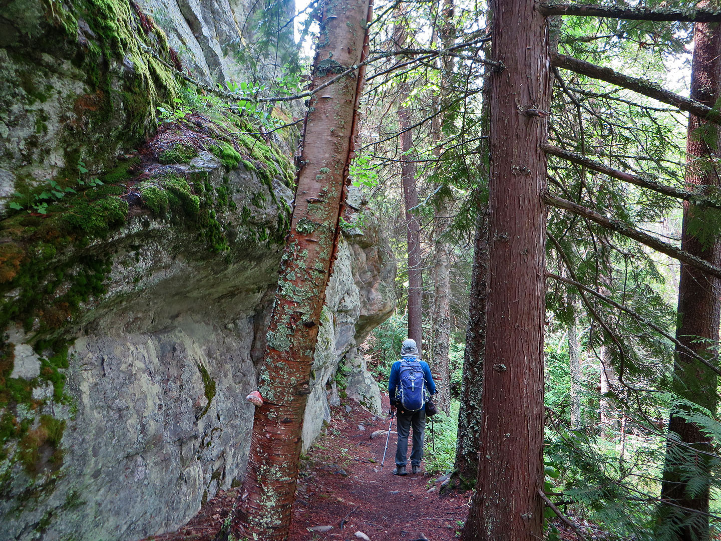
The trail was well maintained
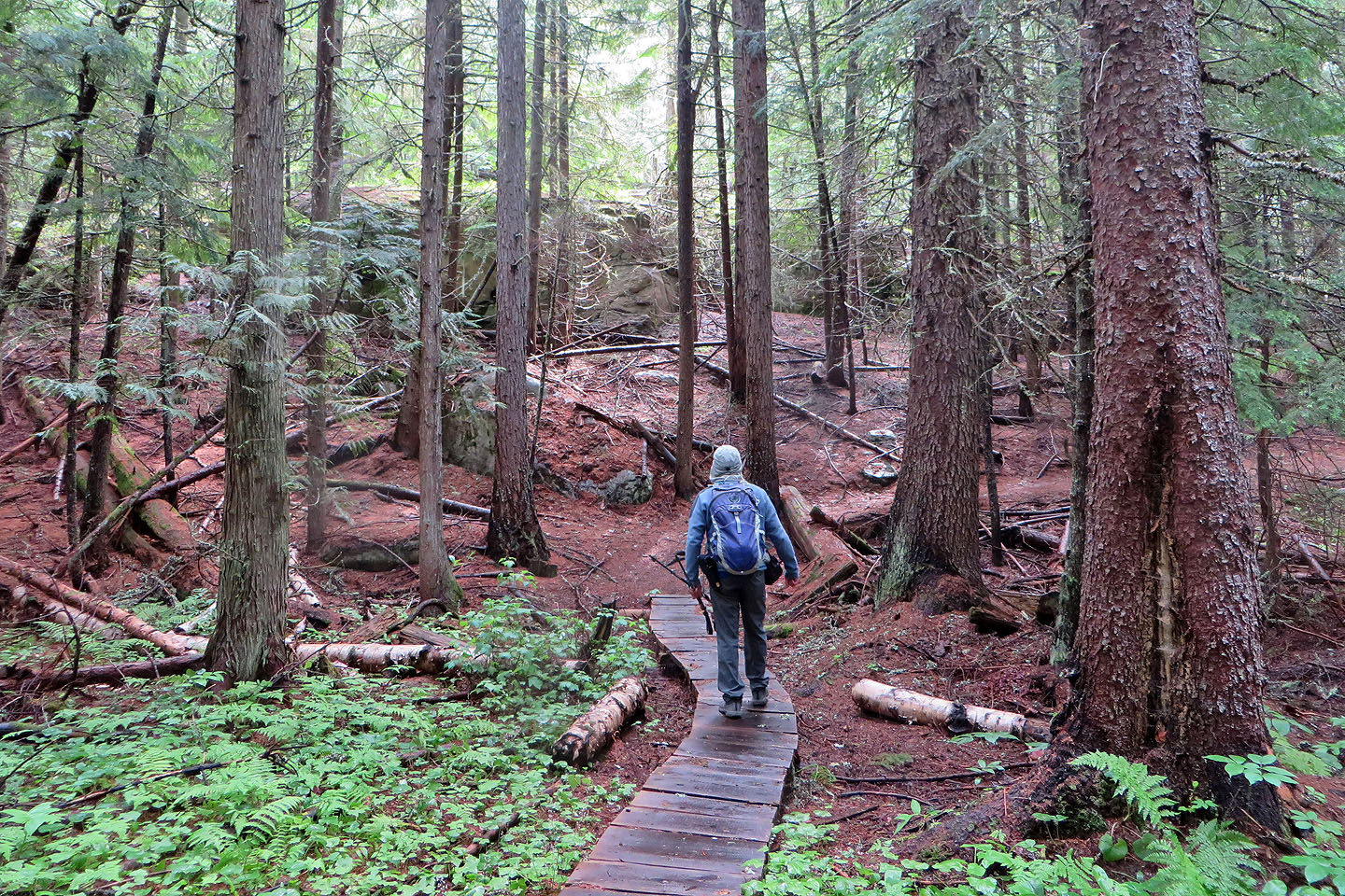 The trail turns here and begins gradually climbing
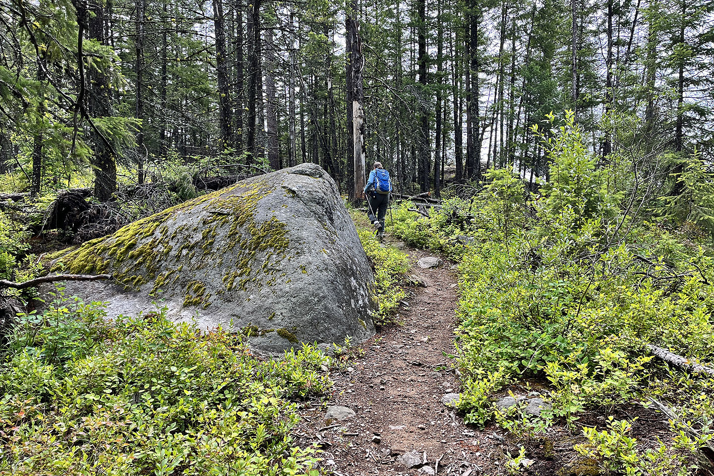 We started seeing massive rocks
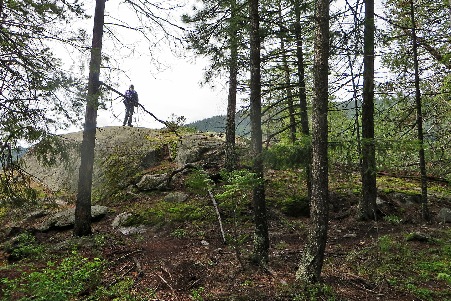 This boulder was one of the high points
 View from the boulder
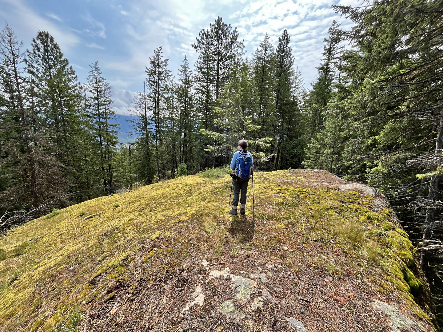 Stopping on another rock
 Coming to the viewpoint
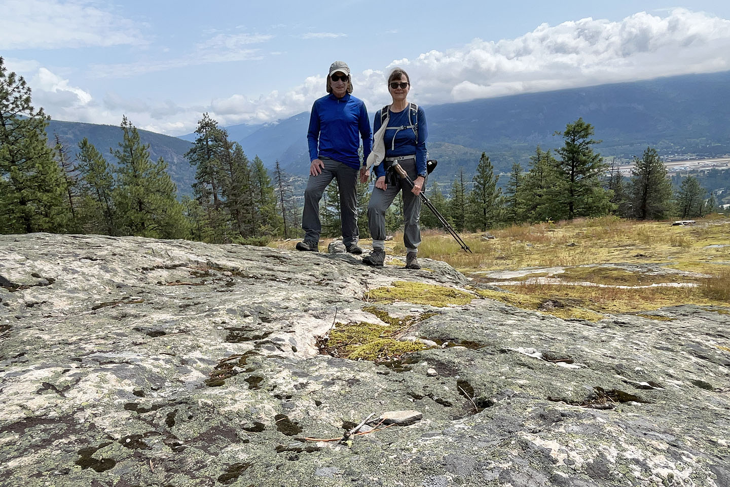 Standing on the viewpoint rock
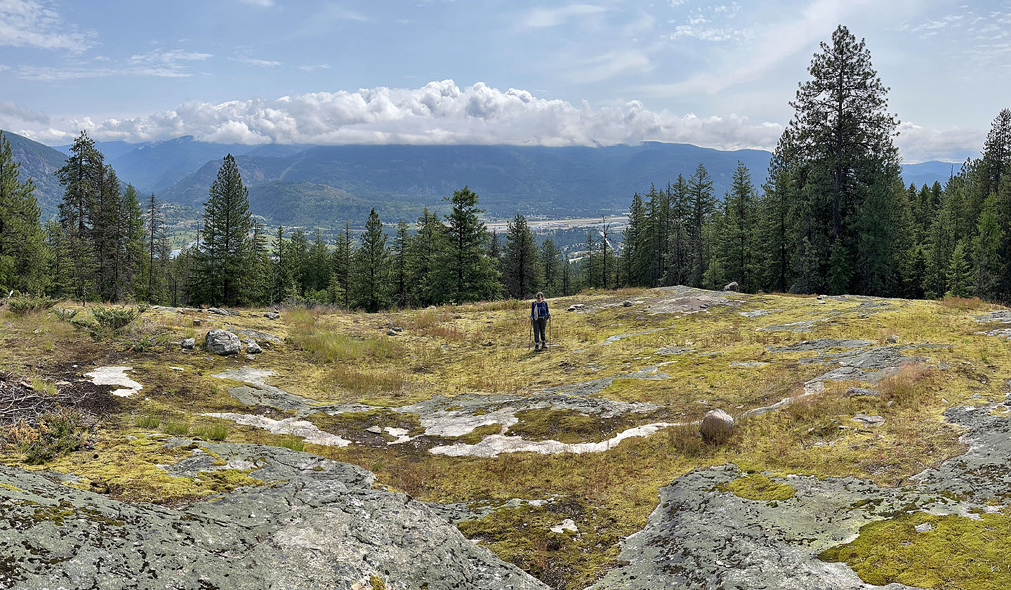 Looking across the spacious viewpoint
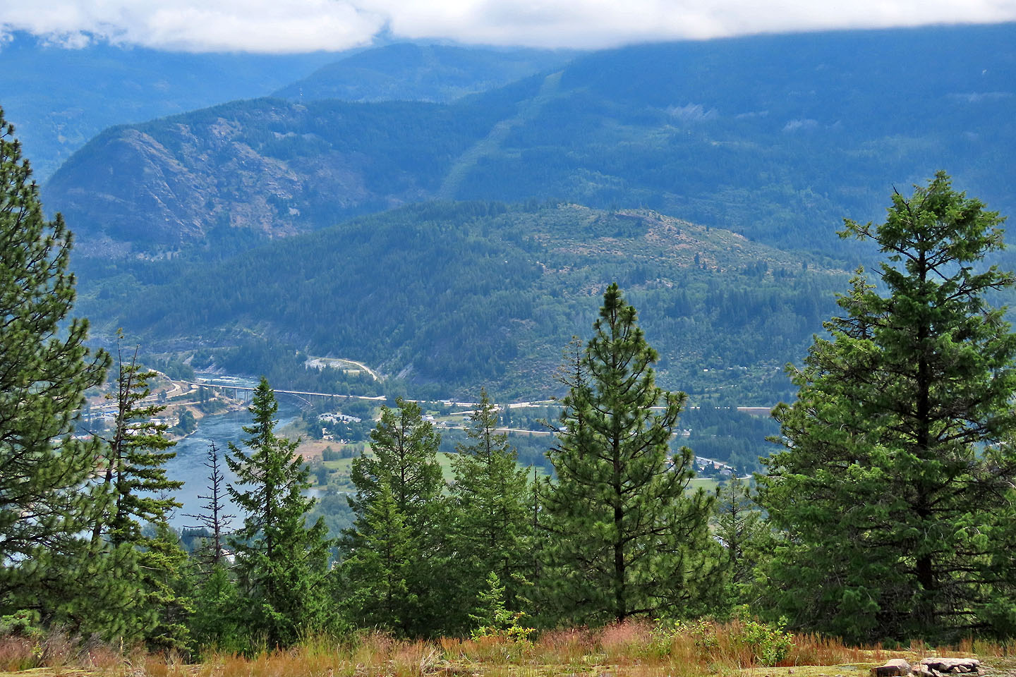 Dove Hill, which we climbed in the afternoon, is in the centre. Brilliant Overlook is left.
 Heading back down
 We followed the trail back to the start of the loop
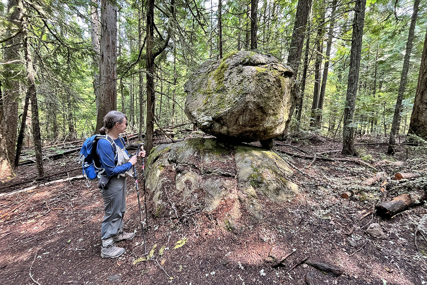 A small stone appears to stop this boulder from rolling down
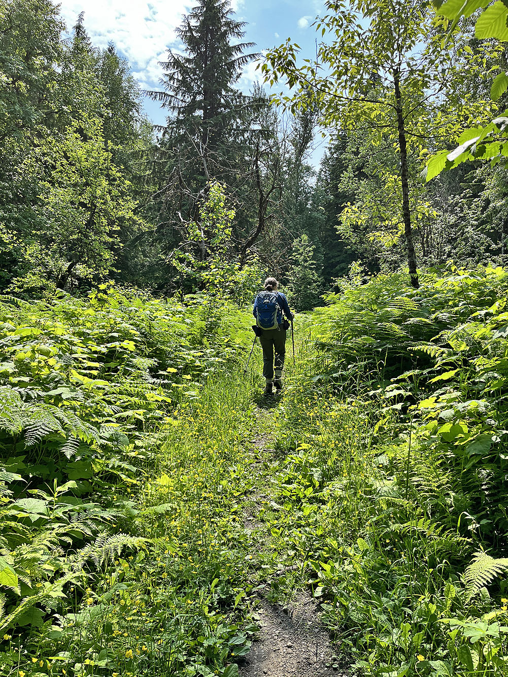
We passed through glades with wildflowers
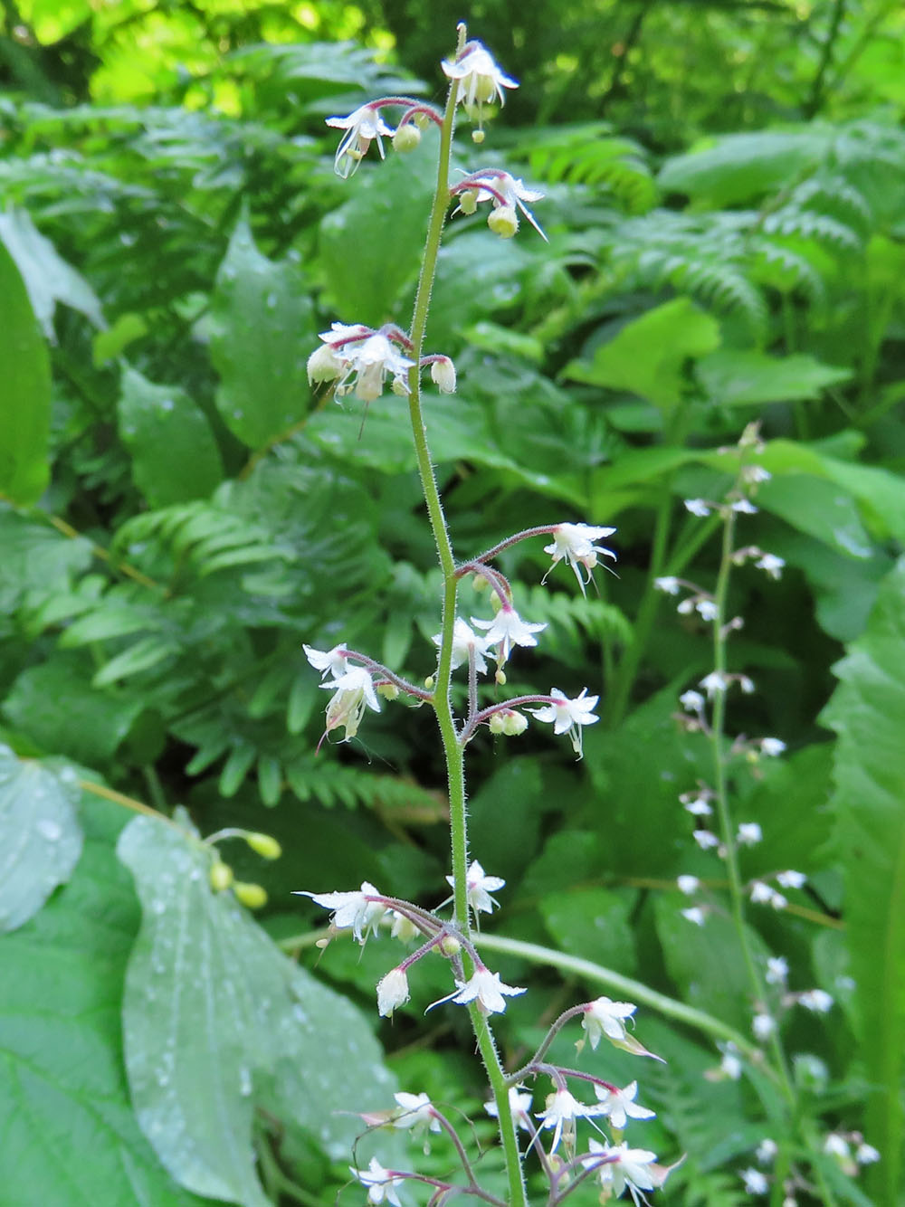
Foamflower