bobspirko.ca | Home | Canada Trips | US Trips | Hiking | Snowshoeing | MAP | About
Eager Hills Lookout
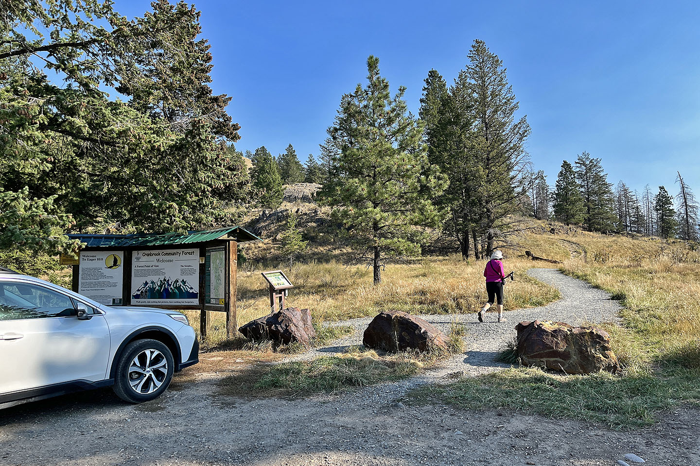
Cranbrook Community Forest Recreation Site, B.C.
September 25, 2025
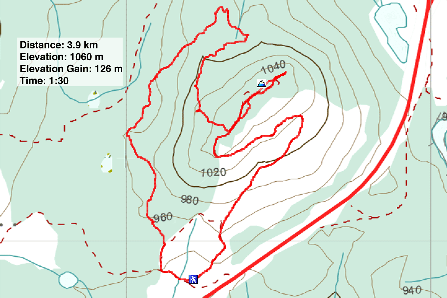
Distance: 3.9 km (2.4 mi)
Cumulative Elevation Gain: 190 m (623 ft)
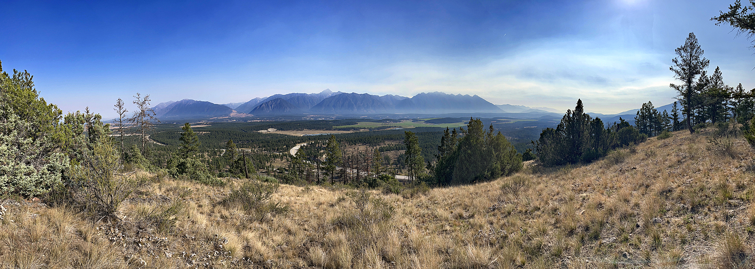
Just a few minutes’ drive east of Cranbrook, Eager Hills Lookout offers a short hike with worthwhile views. However, it was a bad day for viewing the mountains, but a good day to avoid a long hike. Wildfire smoke had enveloped the area, obscuring views and irritating our eyes. But despite the conditions, Dinah and I enjoyed the area and extended our trip by completing a loop.
If you’re driving from Cranbrook, keep in mind a left turn into the park isn't permitted. We passed the park entrance and drove a few kilometres down Highway 3 before finding a spot to turn around. A brief gravel road climbs to a small parking lot.
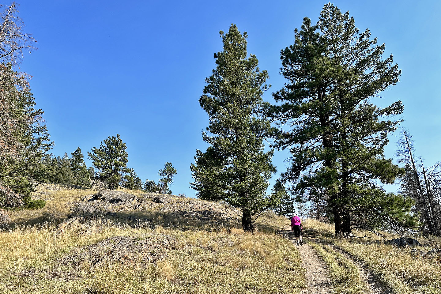
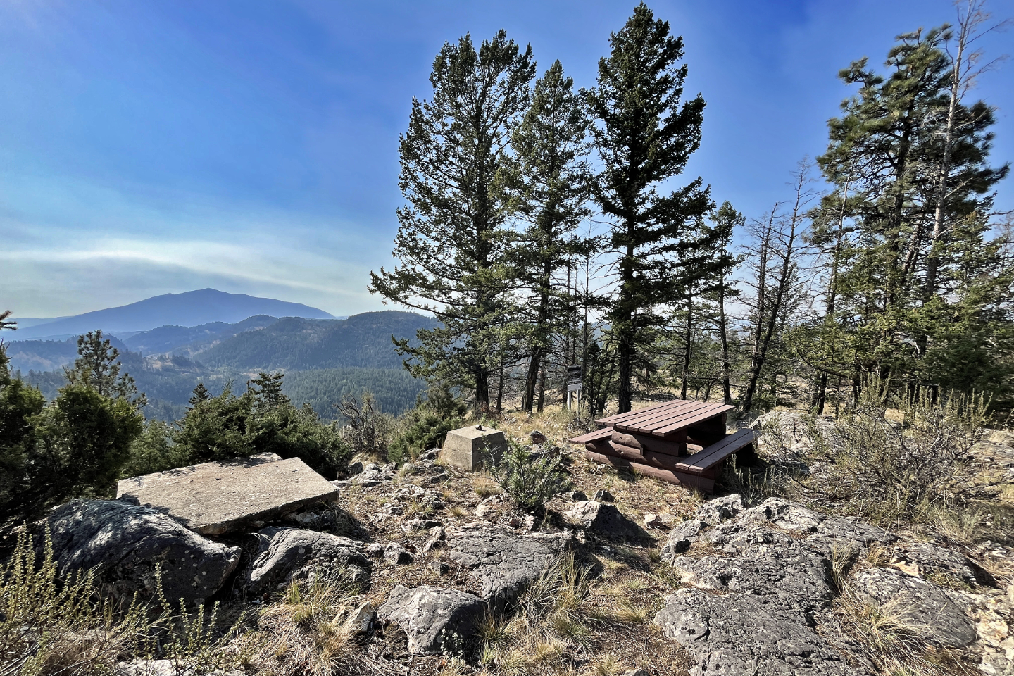
The hike begins on a long, gentle switchback up a grassy slope scattered with tall trees. The trail levels off on a broad top with a few high points. The first of these is Eager Fire Lookout at the southwest end. Then we continued along the trail to the northeast end where there’s a picnic table. Maps place the summit here, where I took my panorama. But afterwards, we wandered over to a slight mound that was higher.
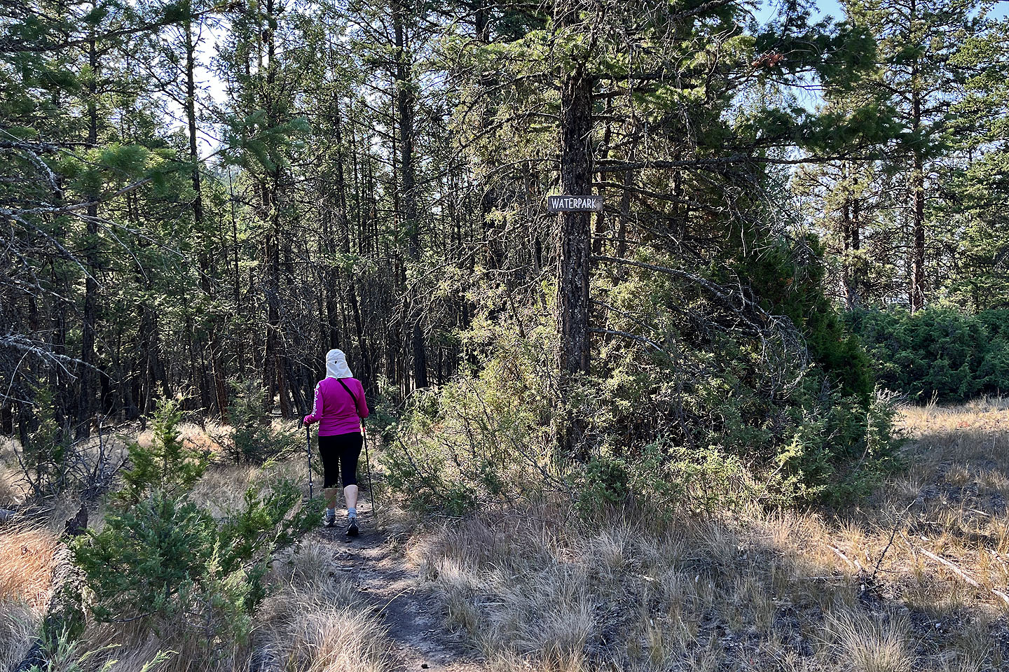
Rather than retracing our steps, we turned onto Waterpark Trail. The long, rolling trail meanders through the forest and offers scant views, but it was a refreshing change from the lookout trail. Waterpark Trail took us back to the parking lot.
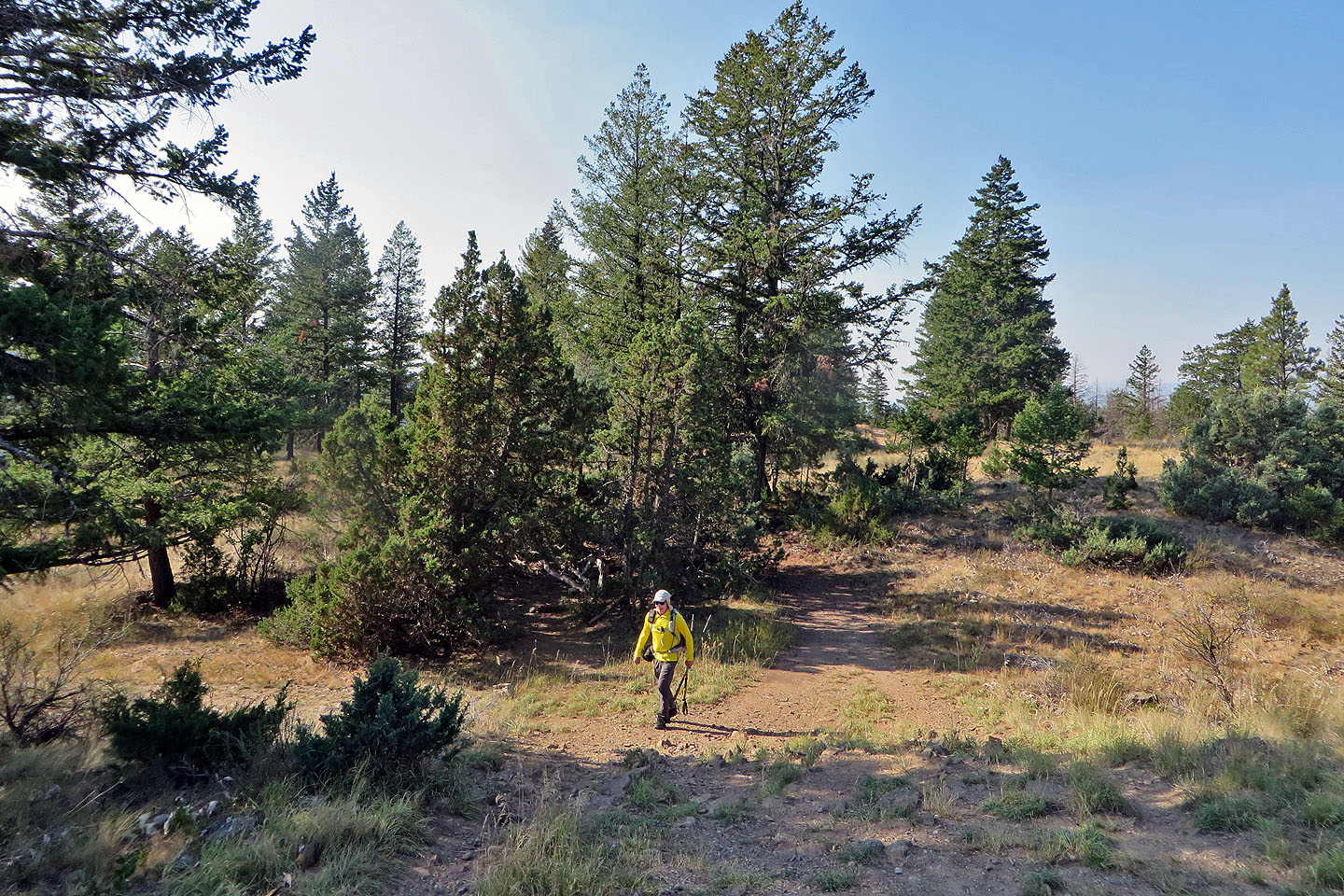
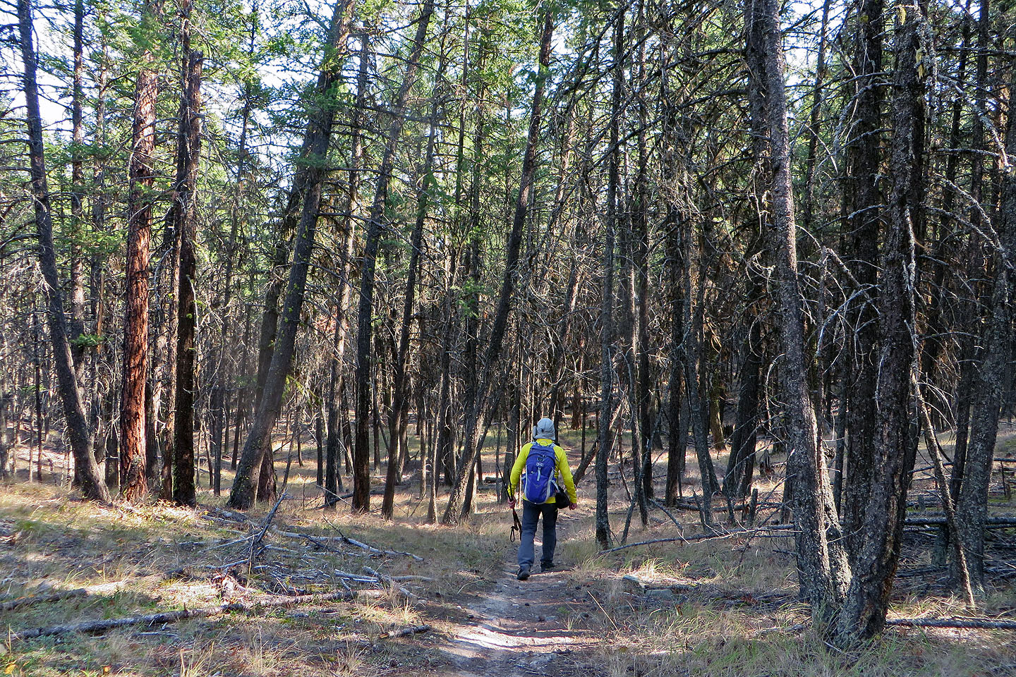
 Starting up the trail
 Tall trees dotted the lower south slopes
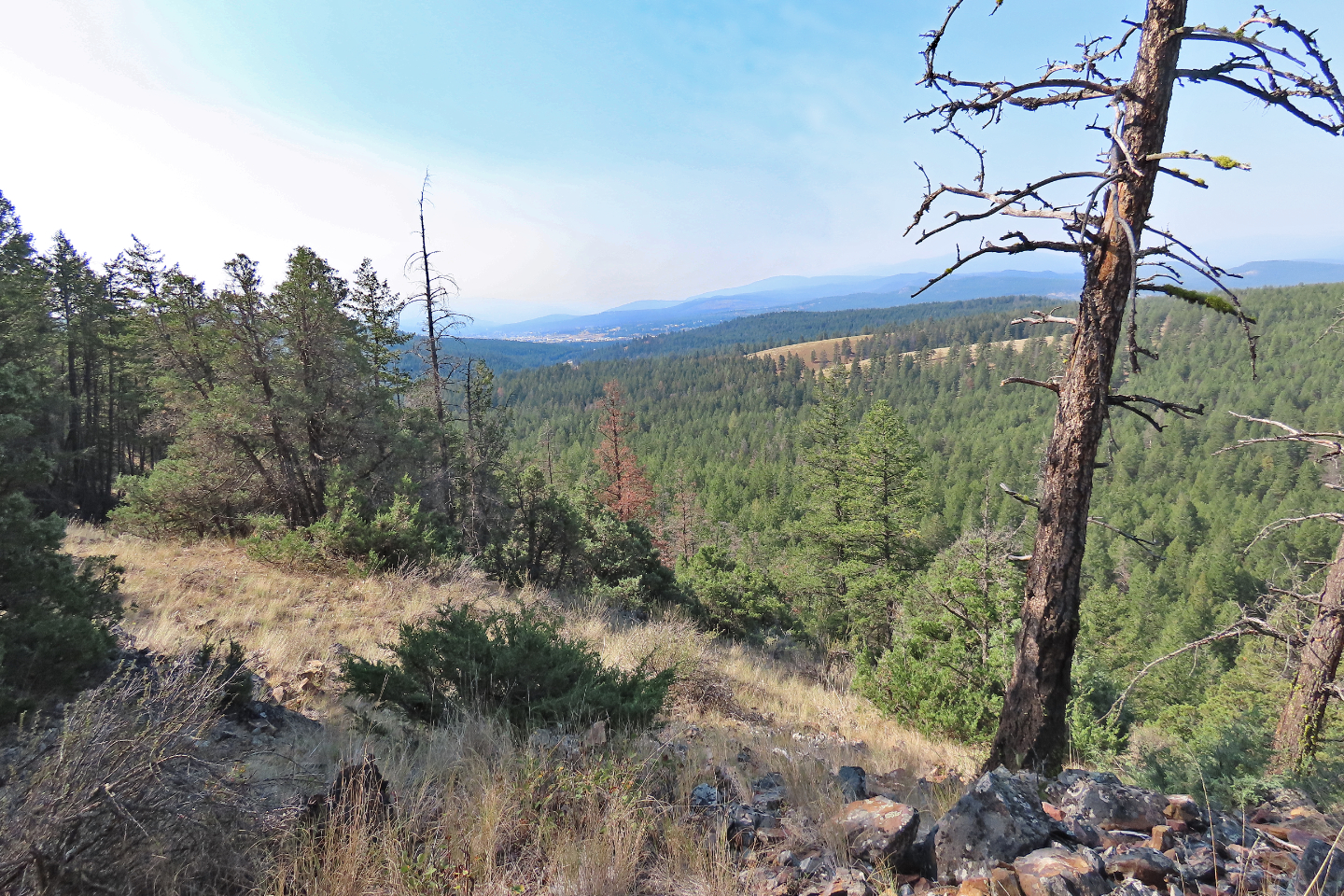
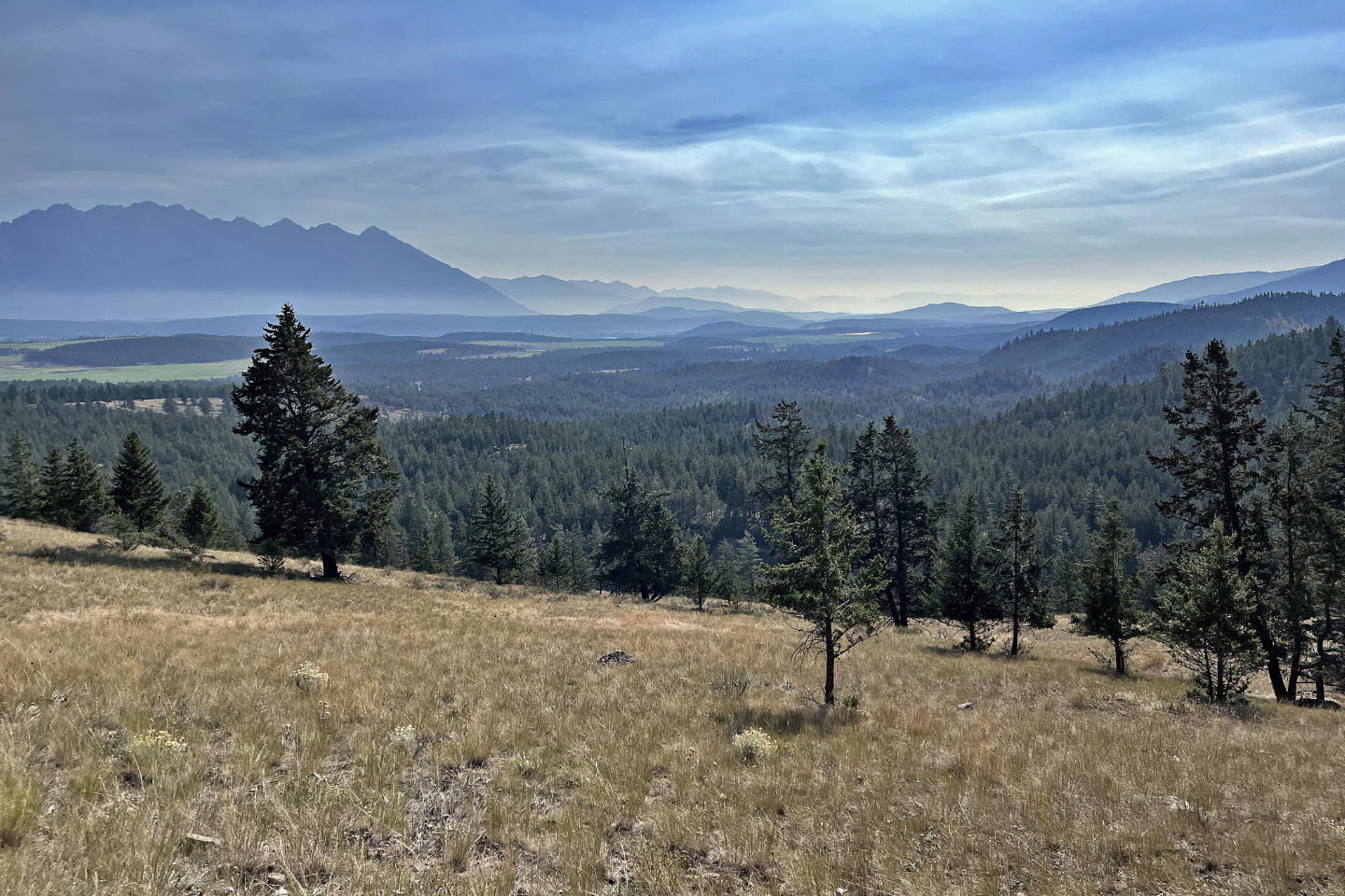 Looking east down the Kootenay River Valley
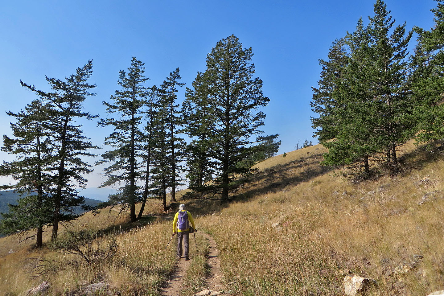 We followed long switchbacks to the top,
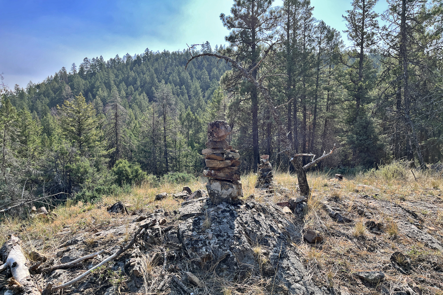
although there were shortcuts
We followed long switchbacks to the top,
although there were shortcuts
 The lookout is in the trees on the right
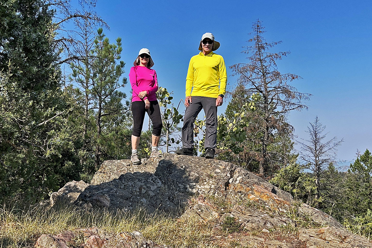
 Eager Fire Lookout was built in 1948 and closed in 1965. Mouse over to read the sign. In the background are Mount Baker and Bee Line Hill.
 We continued to the northeast end
 Standing on the northeast high point
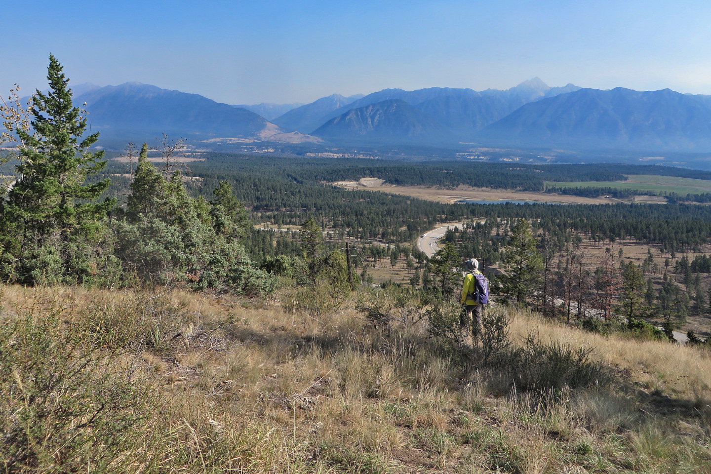 Looking northeast at the Rockies. Above me is Fisher Peak.
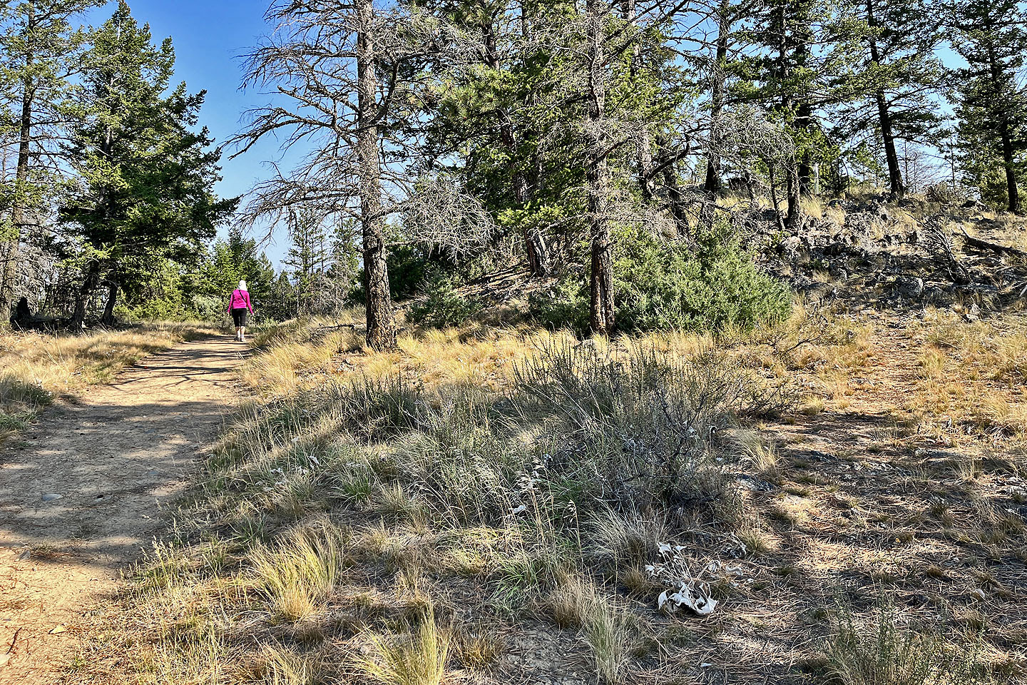
 We turned onto Waterpark Trail
 The trail is mostly in trees
 Cranbrook appears in the distance (mouse over for a close-up)
 Looking back at the summit
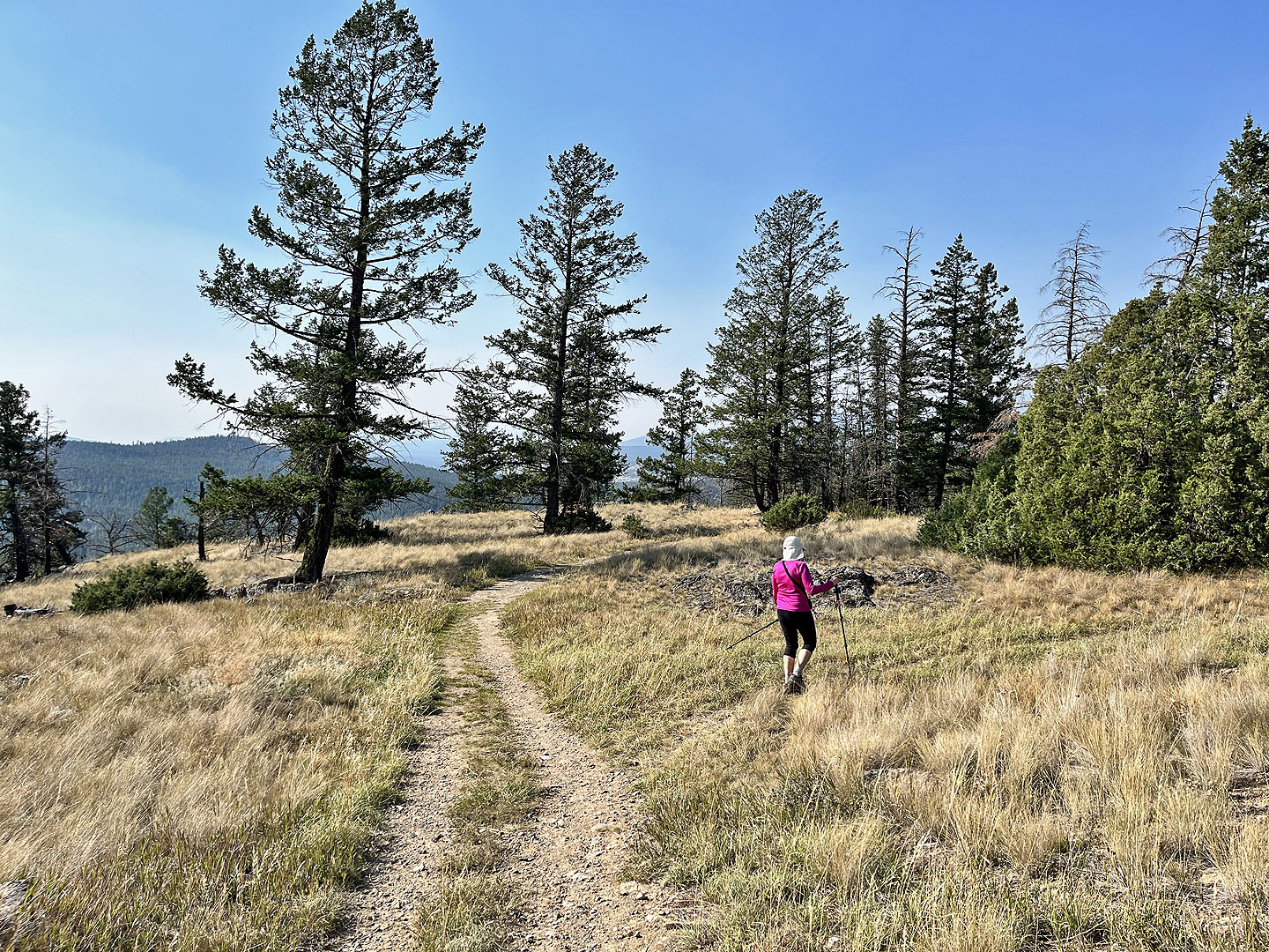
 Continuing along Waterpark Trail