bobspirko.ca | Home | Canada Trips | US Trips | Hiking | Snowshoeing | MAP | About
The Bee Line
Cranbrook Community Forest, B.C.
October 18, 2025
Distance: 5.2 km ( 6.6 mi)
Cumulative Elevation Gain: 258 m (846 ft)
Shortly after sunrise on a chilly fall morning, Dinah and I drove ten minutes east of Cranbrook and parked at the trailhead for The Bee Line. The trail loops around the high point of a small, unnamed hill. Perhaps it could be called Bee Line Hill. In any case, we would achieve a summit before returning to Calgary.
Almost immediately after starting, the trail descends into Isadore Canyon. We turned left and followed the canyon road briefly before getting back on a trail. It soon forks, the beginning of the loop, and we turned left. Hiking the loop clockwise meant a steep climb followed by a gentler descent.
At the next fork, we kept right, although both forks soon meet below a mountain bike ramp. We continued ascending through a forest, stopping occasionally at viewpoints to see the Purcell Mountains and the Rocky Mountains. When we neared the summit, we ventured off-trail 40 m to reach a viewless top. We returned to the trail and came to an expansive viewpoint looking south. The lake below, Hobgoblin, reminded us that Halloween was just days away.
A little further along, to our chagrin, the trail here runs much closer to the summit. We continued down the trail. Unlike our ascent where we passed viewpoints, the descent lacked notable scenes. We completed the loop and returned to our car. Our short stay in Cranbrook ended, but the area has much to offer and we plan on returning.
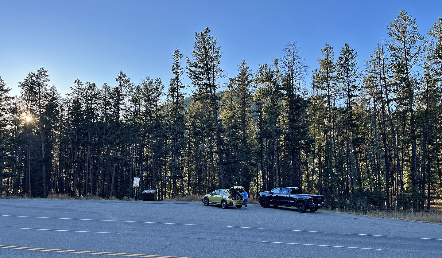 The trailhead is just off of Highway 3
 After 100 m, the trail descends to Isadore Canyon
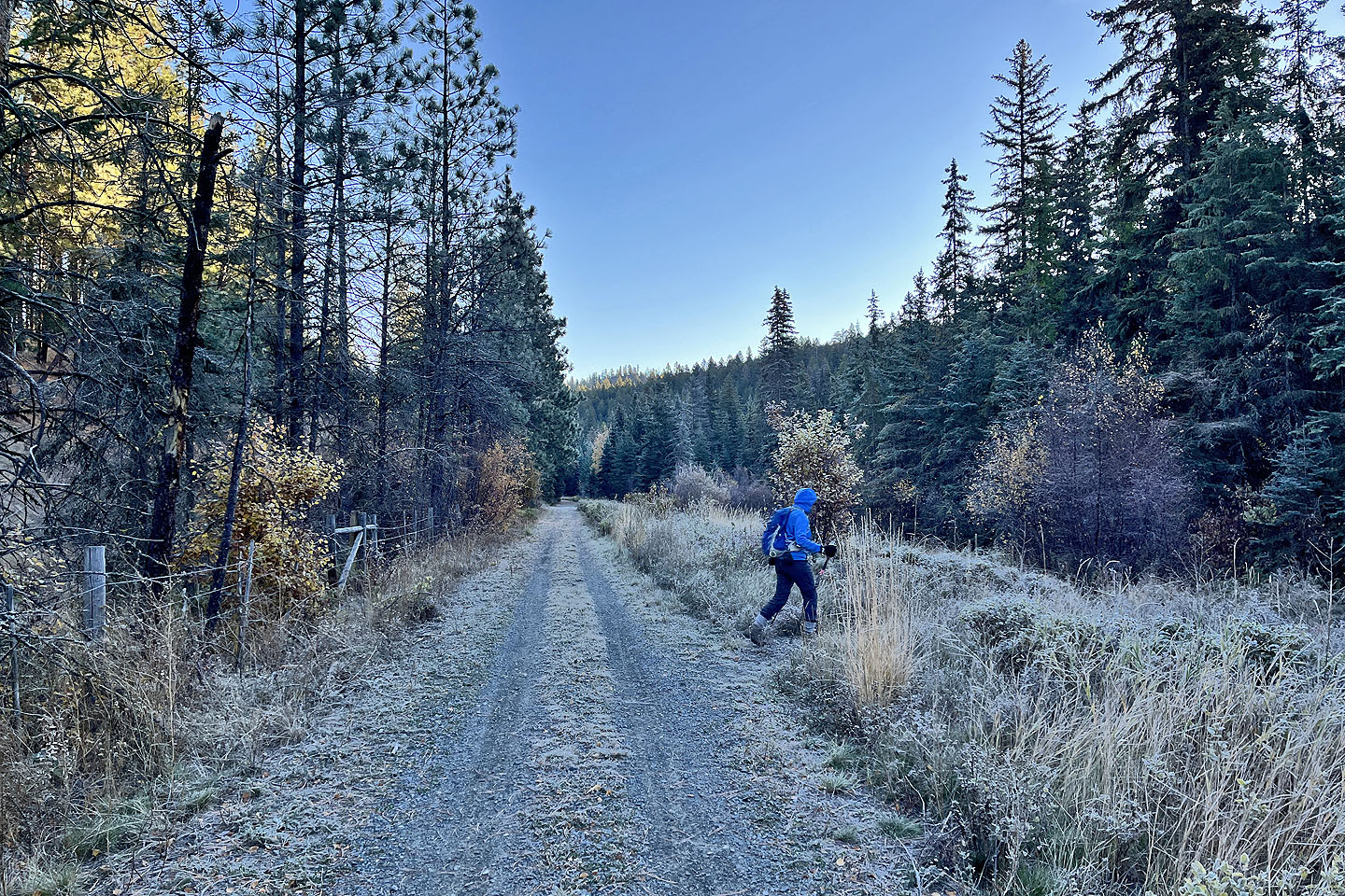 After walking 70 m down the canyon road, we were
back on a trail
After walking 70 m down the canyon road, we were
back on a trail
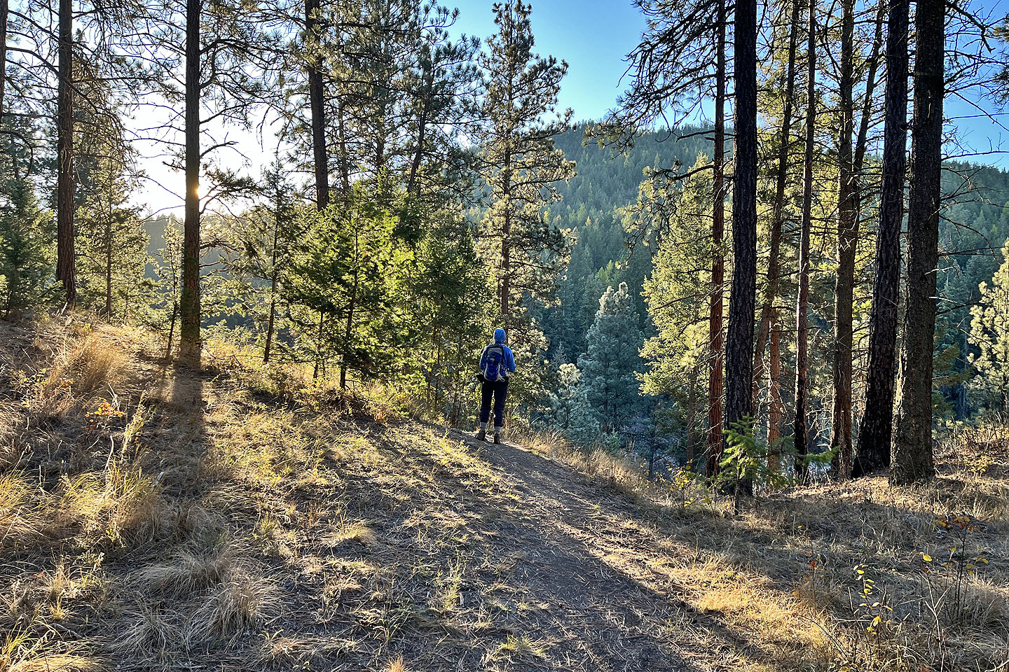
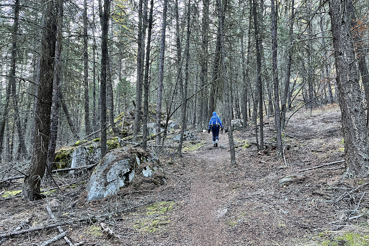 It was a pleasant walk in the woods
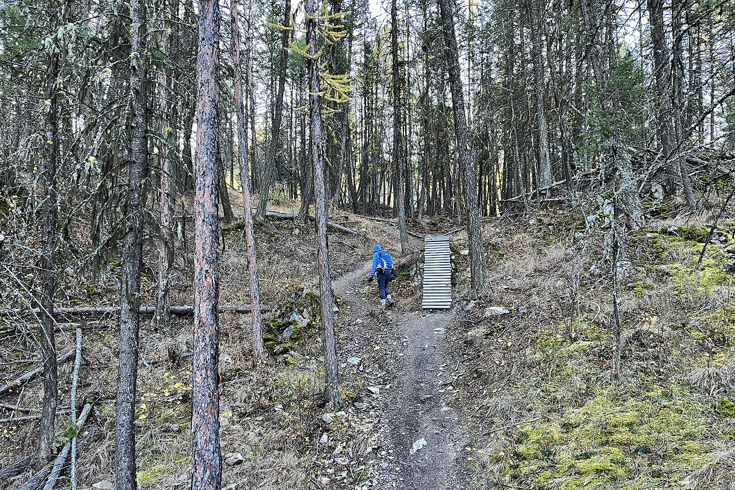 We passed a ramp for mountain bikes
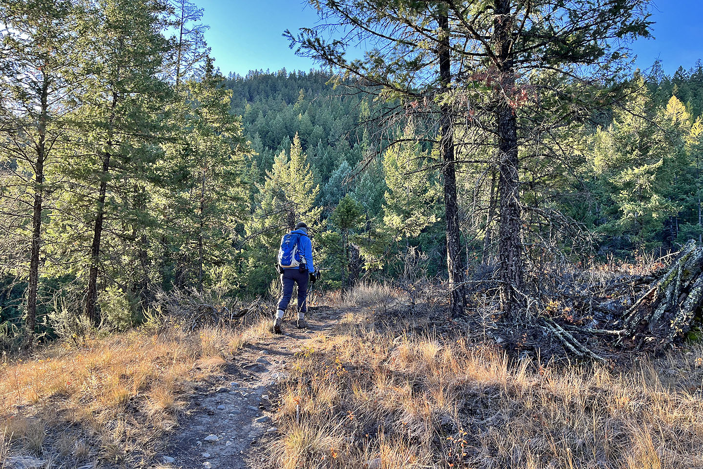 Continuing up the trail
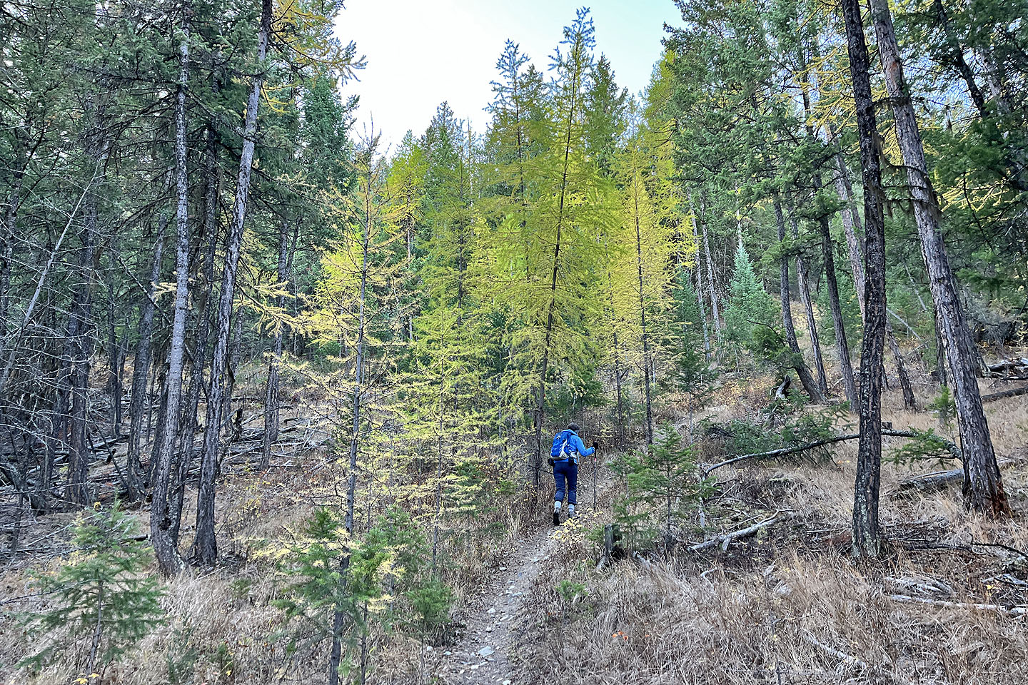 We passed colourful larches
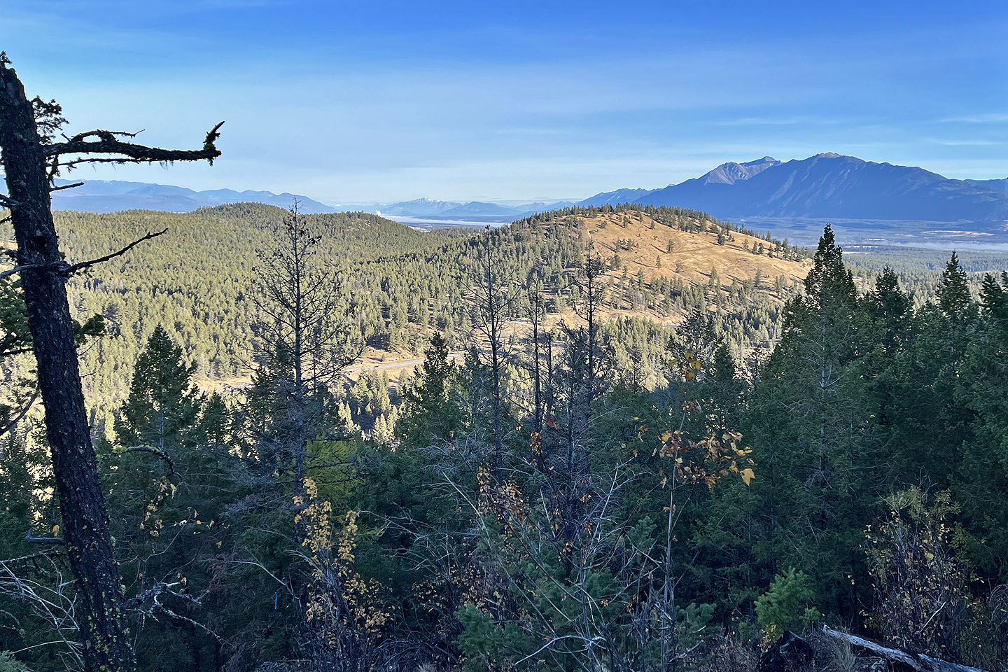 A break in the trees allowed a view north of Eager Hill and Mount
Bill Nye (mouse over for the latter)
A break in the trees allowed a view north of Eager Hill and Mount
Bill Nye (mouse over for the latter)
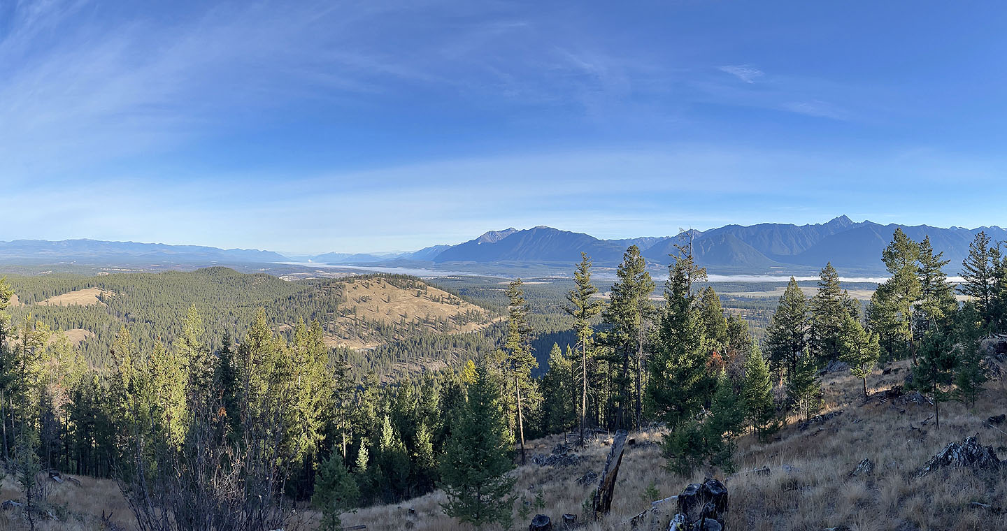 Higher up, another break provided a more expansive scene that included Mount Fisher (mouse over)
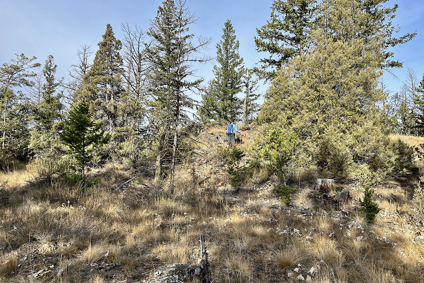
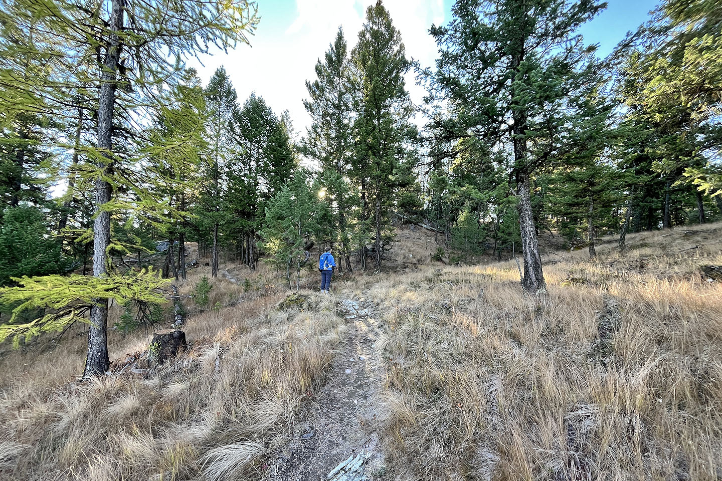 Approaching the top
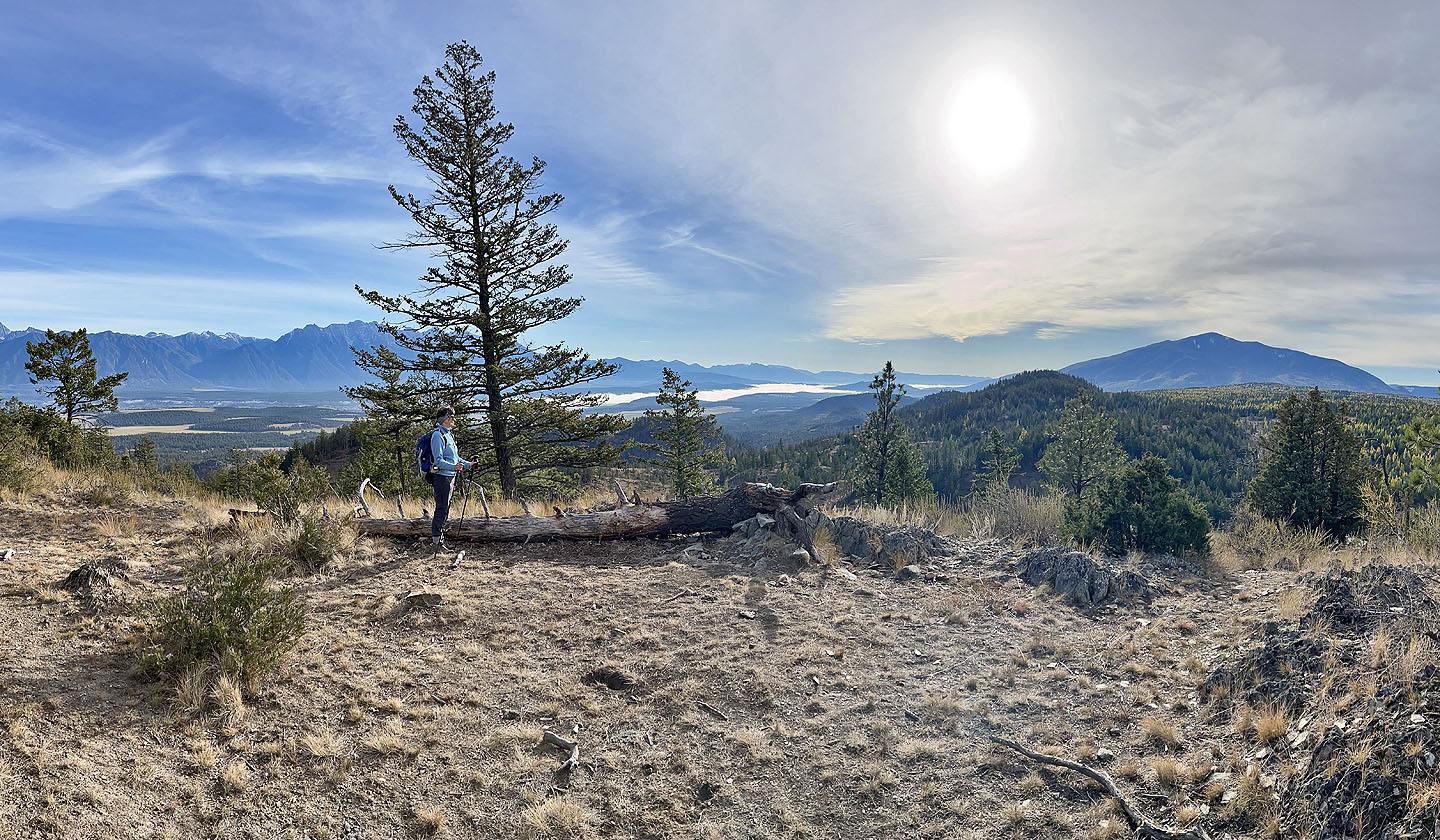
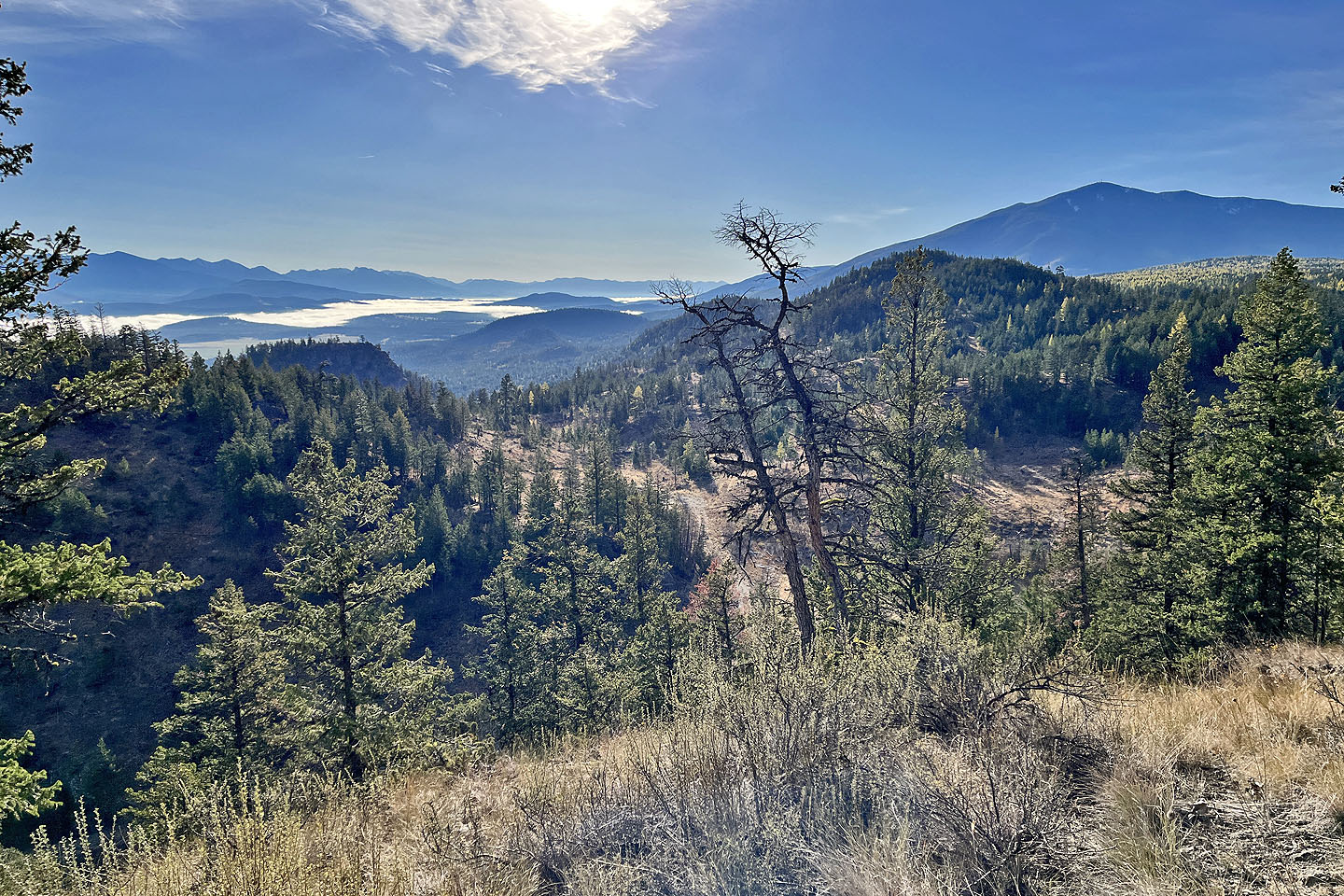 Looking southeast. Mount Baker on the right.
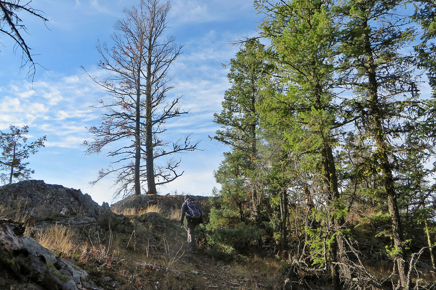
 A short offtrail hike led to the summit, but
there's a shorter hike further along the tail
A short offtrail hike led to the summit, but
there's a shorter hike further along the tail
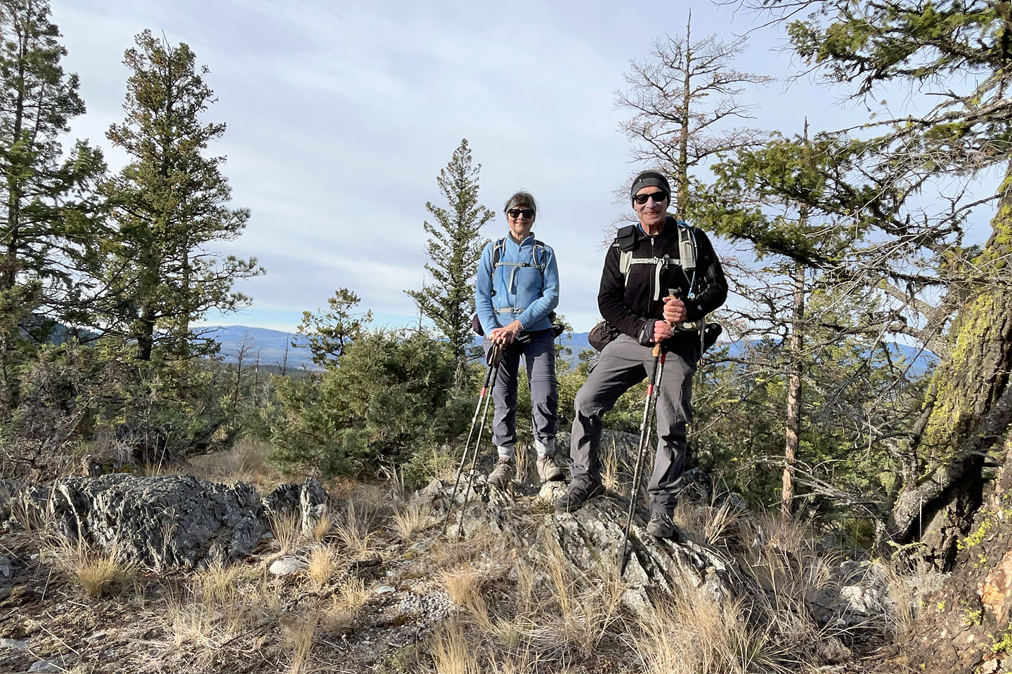 Standing on the summit
 Heading to the viewpoint
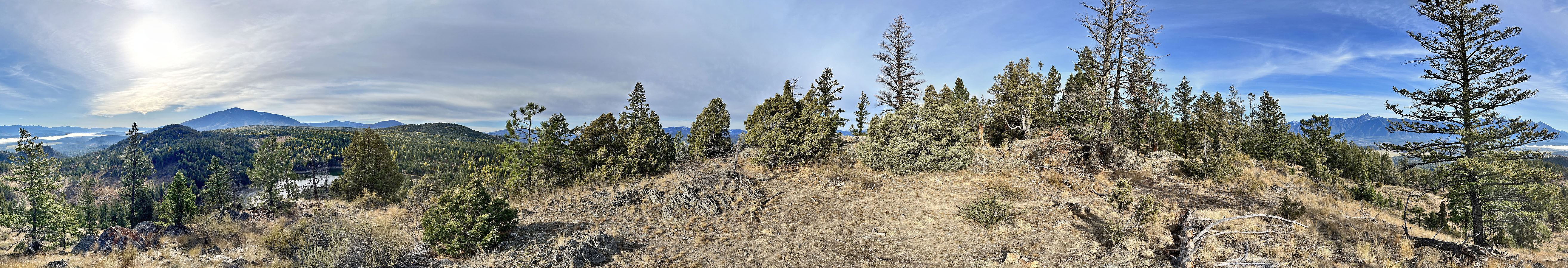
 Looking south from the viewpoint
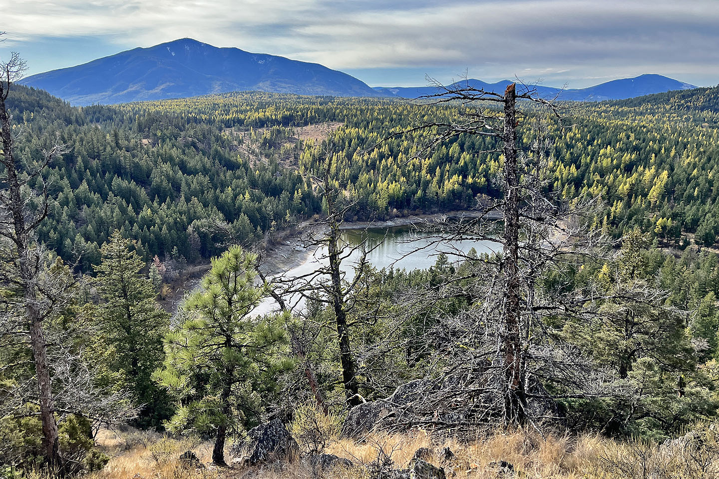 Hobgoblin Lake
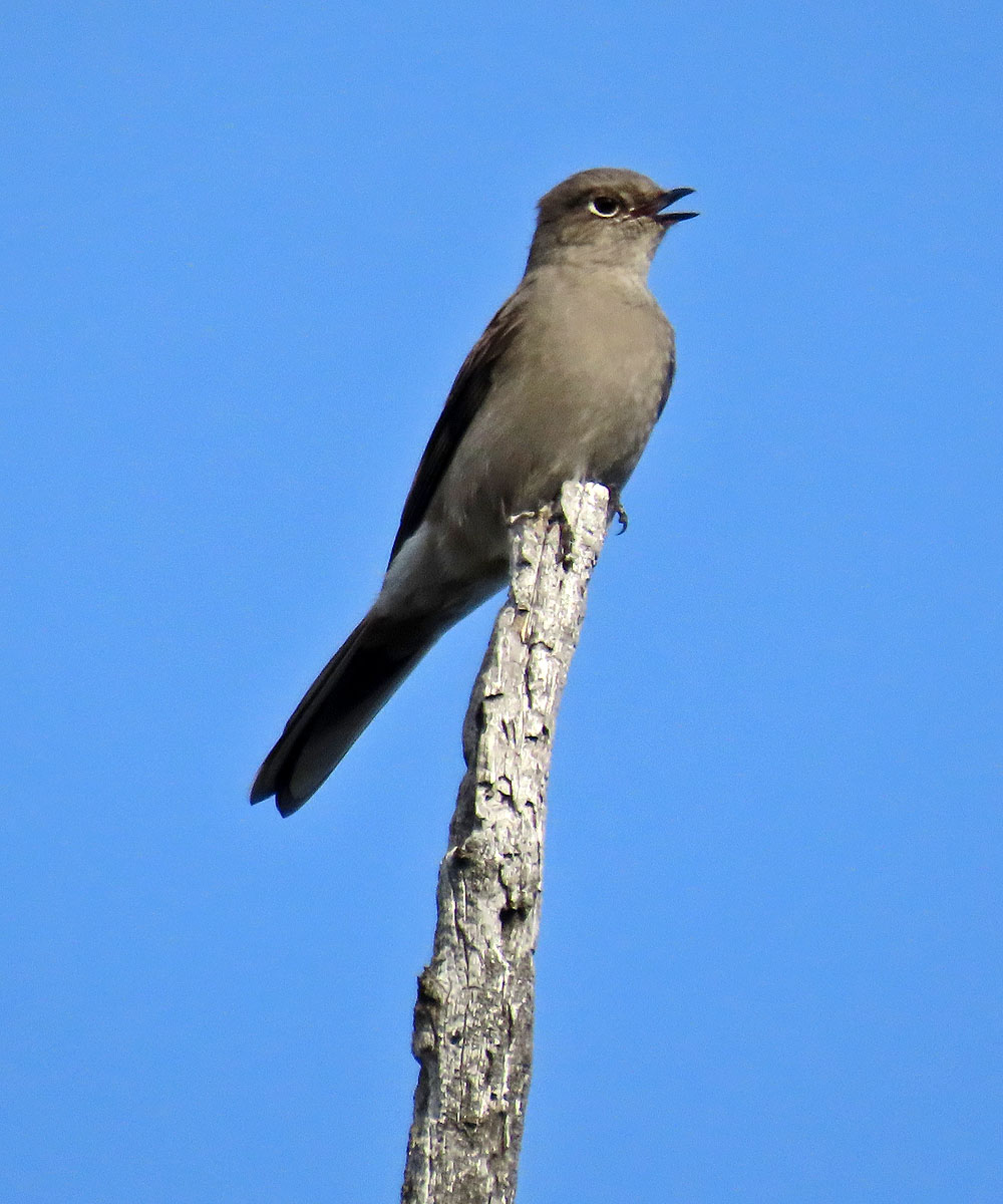
Townsend's solitaire
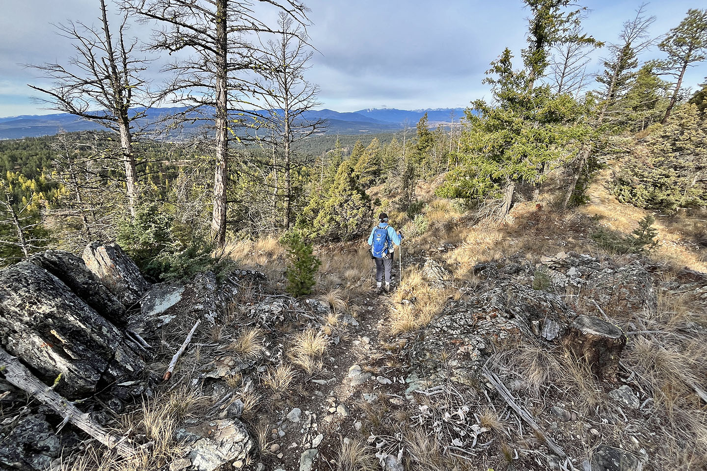 Continuing down the trail
 We went offtrail to see a pond, but it appeared
dry
We went offtrail to see a pond, but it appeared
dry
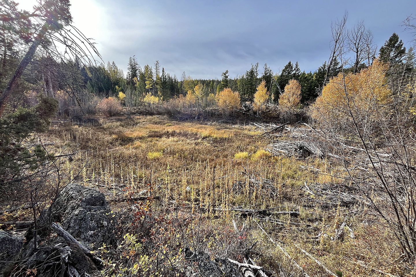
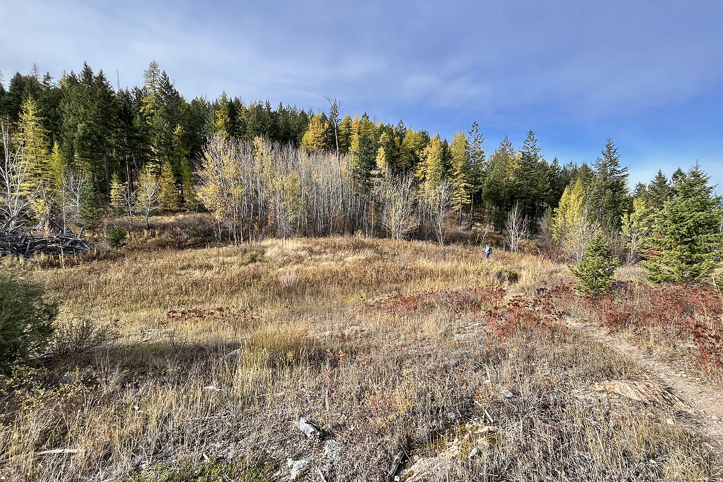 We passed through a large clearing
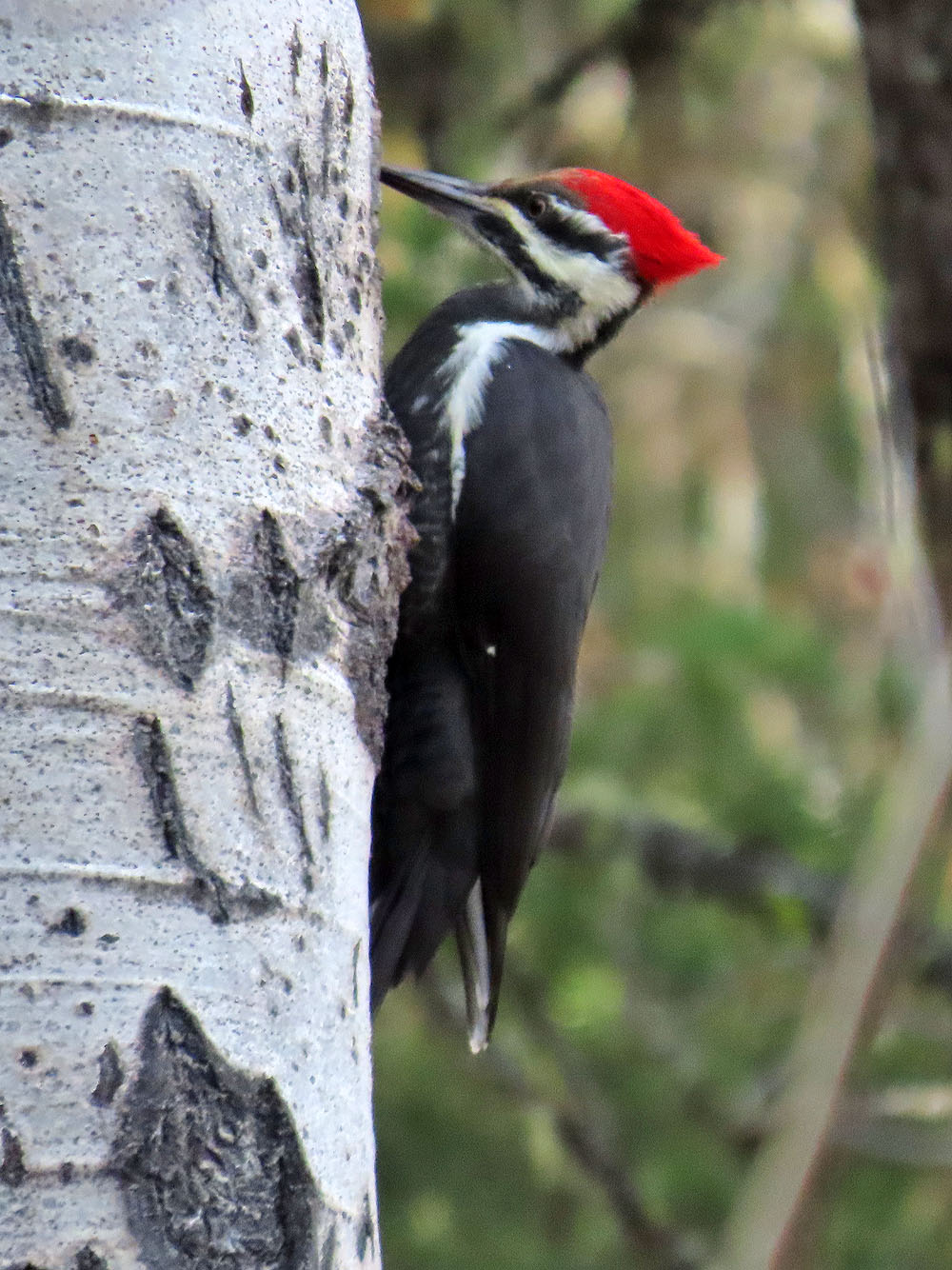
Pileated woodpecker