bobspirko.ca | Home | Canada Trips | US Trips | Hiking | Snowshoeing | MAP | About
Dove Hill
Castlegar, B.C.
June 23, 2025
Distance: 5.1 km (3.2 mi)
Cumulative Elevation Gain: 169 m (554 ft)
Seen from Castlegar, Dove Hill appears inconspicuous; its small stature dwarfed by the taller mountains behind it. Dinah and I saved this short trip for the afternoon, after the clouds had lifted, and after we went up Merry Creek Hill in the morning.
The trailhead is just inside the entrance of Castlegar Golf Club, but there’s ample parking outside the gate. We walked through the entrance and continued straight ahead, transitioning from the paved road going into the golf course to a dirt road into the forest.
After walking 700 m along the road, we kept left at a fork, the beginning of the loop we were doing. Further along, we passed by Oceanspray shrubs, their branches heavy with clusters of tiny white flowers. We would see more of these striking plants along the way.
800 m after the fork, we left the road and turned onto a forest trail. The trail climbs steadily to an expansive viewpoint that overlooks Castlegar and the Columbia River Valley. The summit, indicated by a cairn, is a short distance away, concealed among the trees. After taking photos, we started down. We took two short side trails to viewpoints before hitting a series of tedious switchbacks that dropped down the southwest slope. Eventually, the trail straightened and flattened before returning to the beginning of the fork. We followed the dirt road back to the golf course and our car.
After a rainy day, clouds covered Dove Hill (right) in the morning, so we climbed it in the afternoon. On the left is Sentinel Mountain.
 The stately entrance to the start of the hike
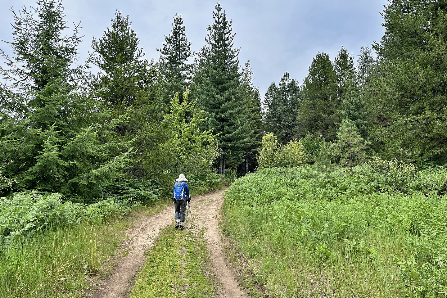 The route follows a dirt road at first
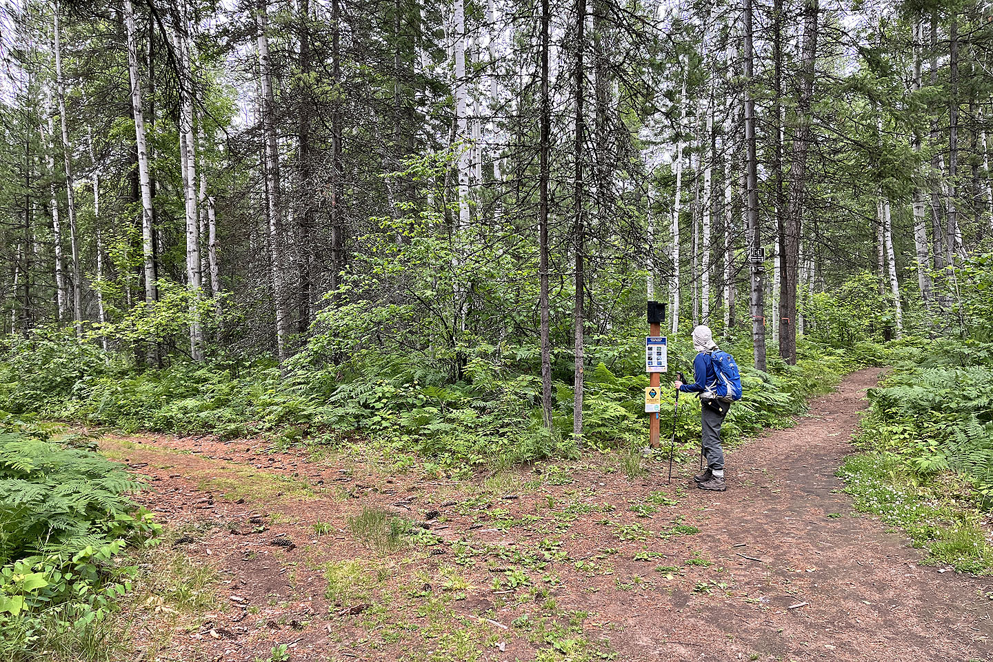 We kept left at the fork, the beginning of the loop
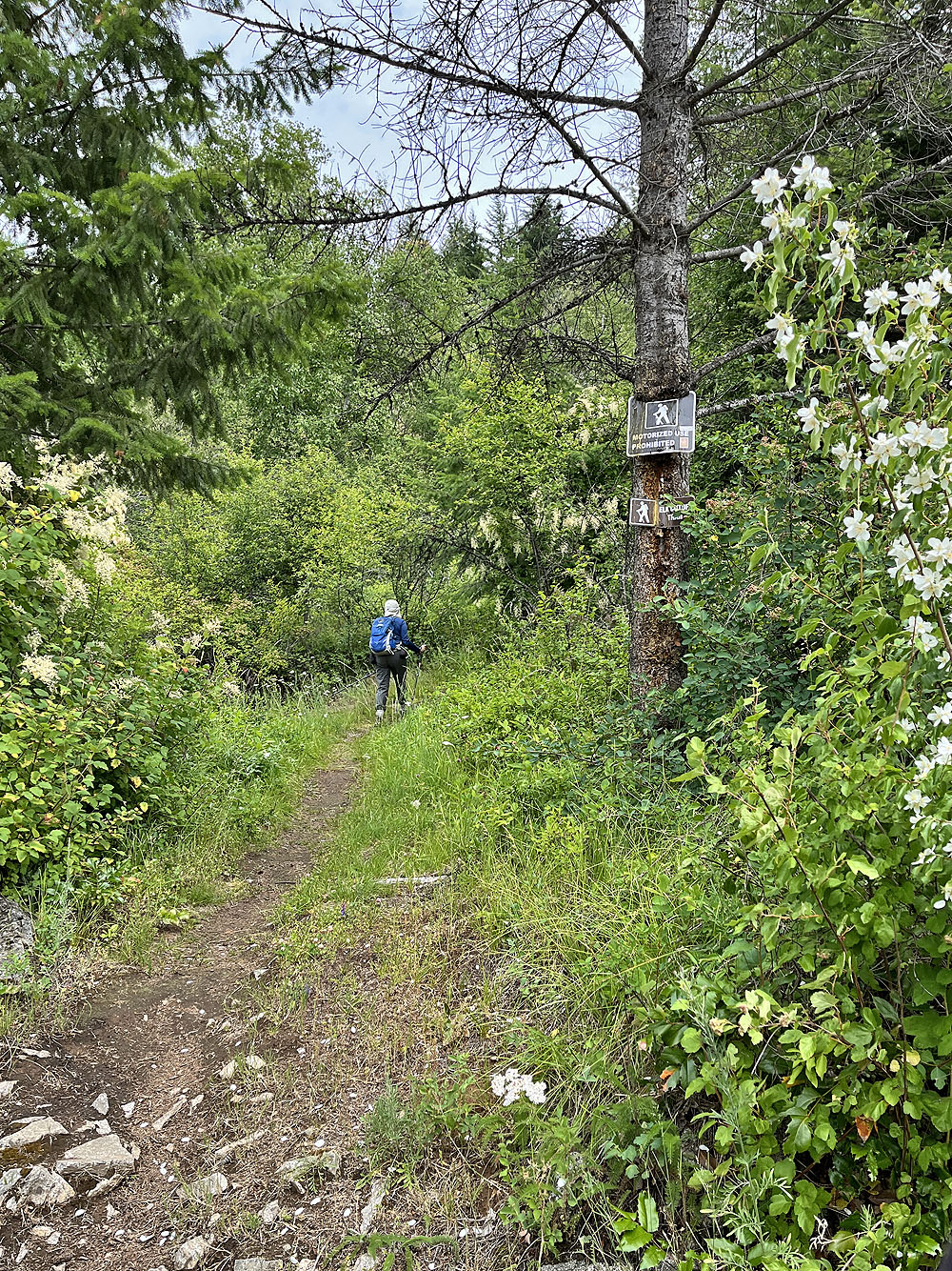
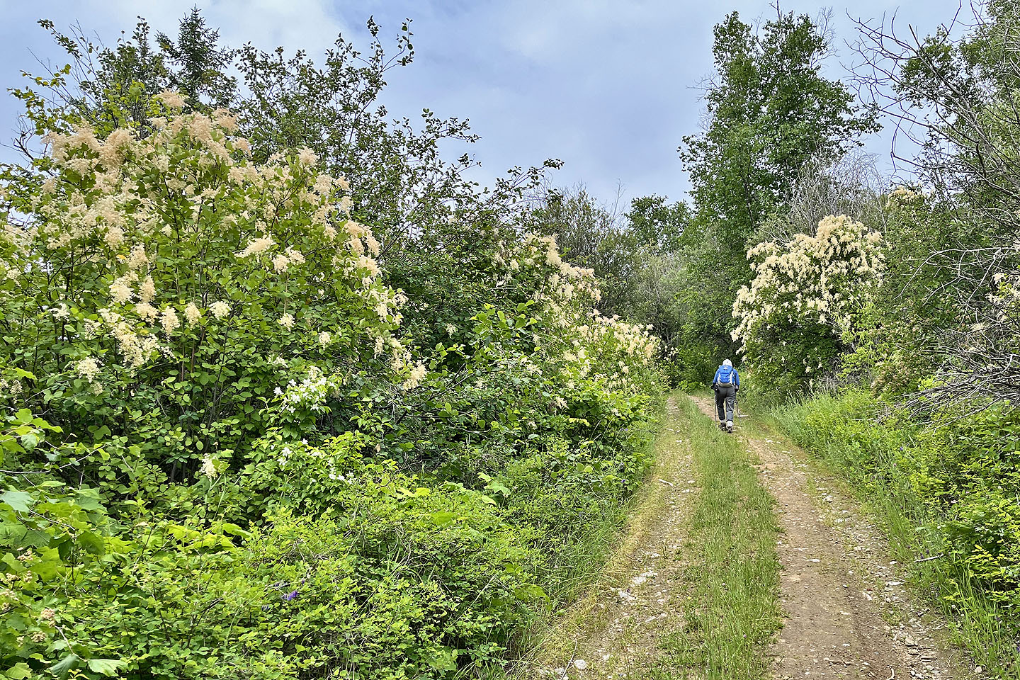 Oceanspray lined trail sections (mouse over to view flowers)
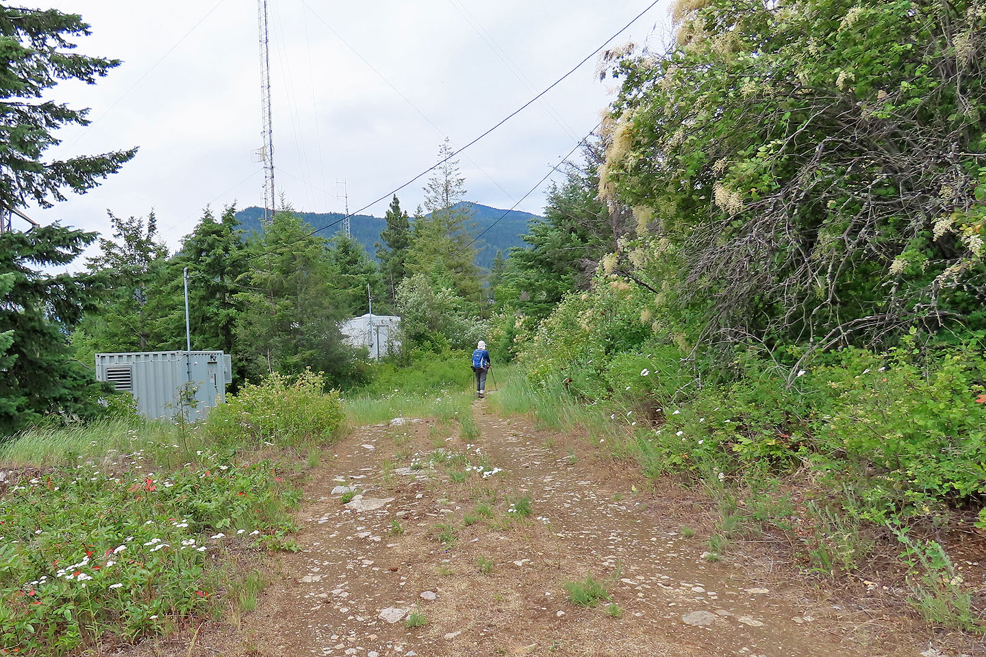 Dove Hill trail begins just after these buildings
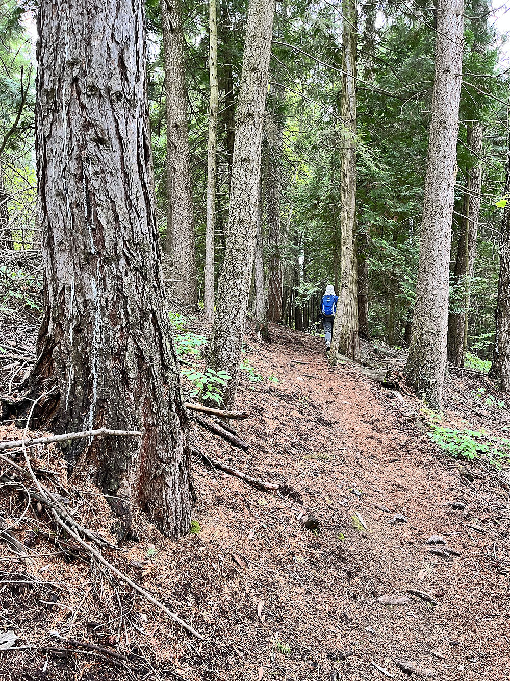
Starting up the trail
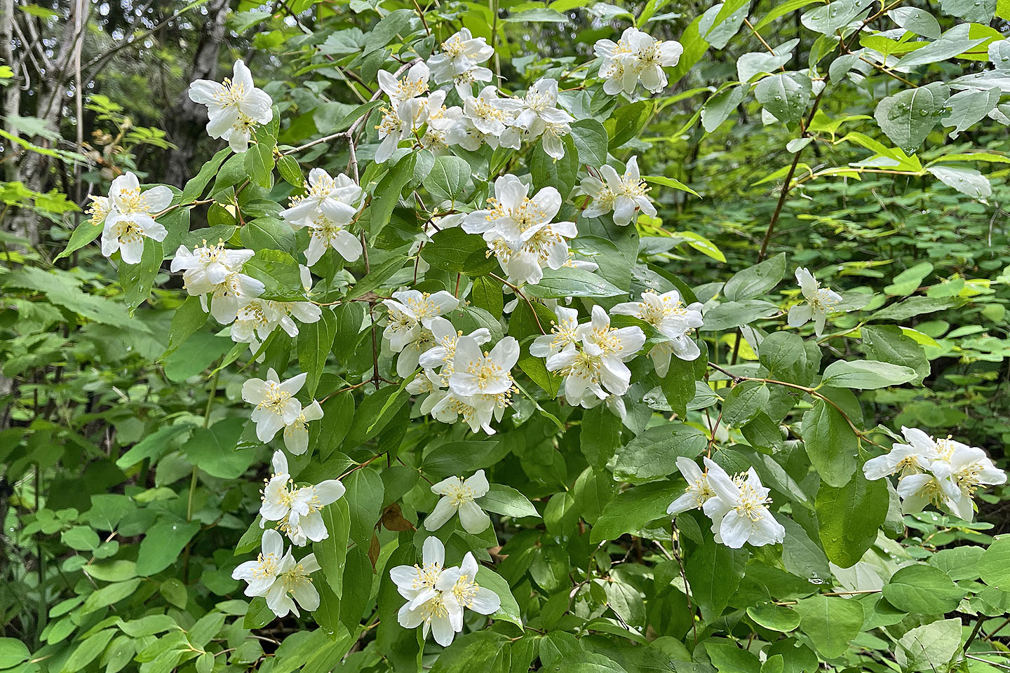 Mock Orange flowers
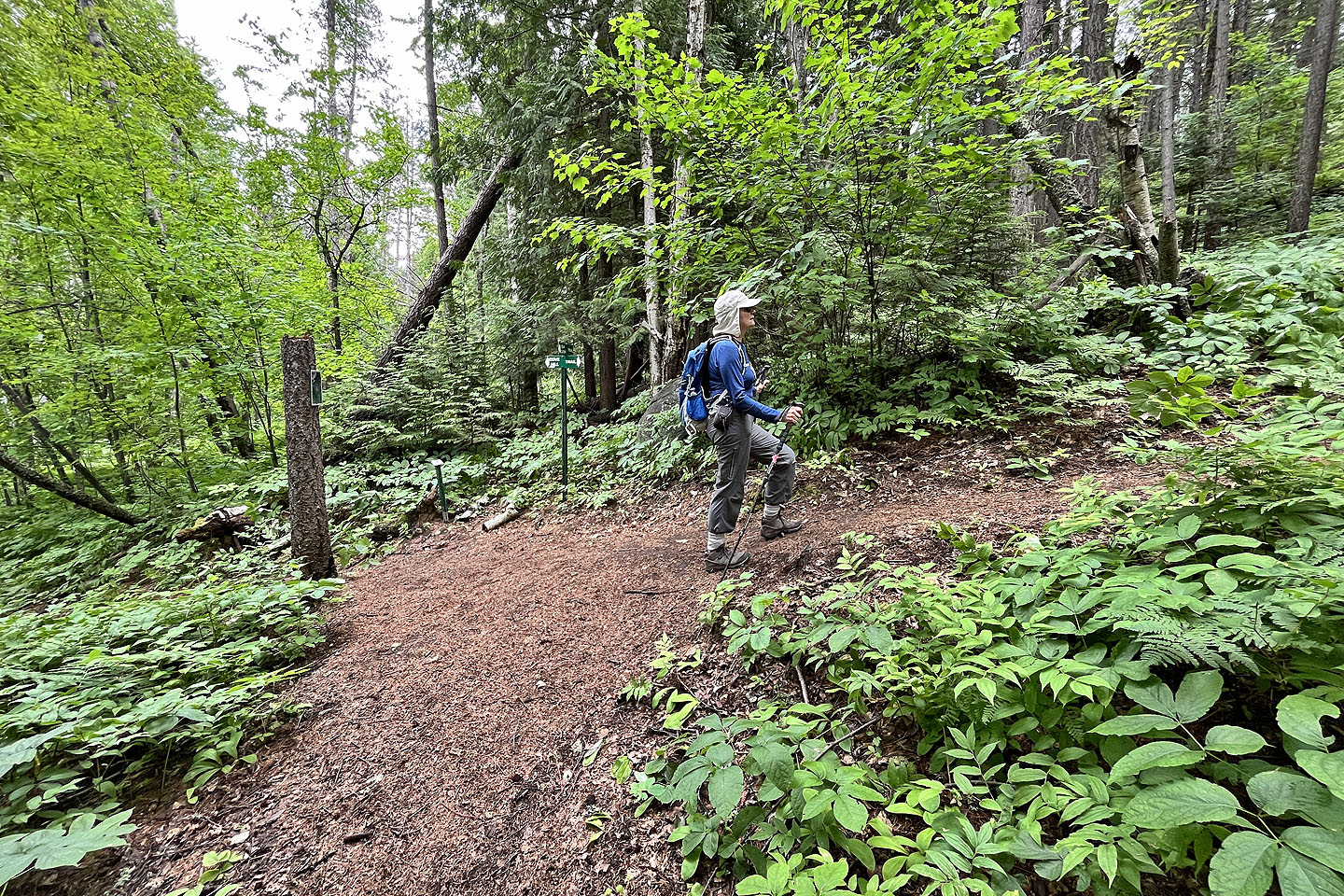 We turned right at the next fork
Coming up to the summit
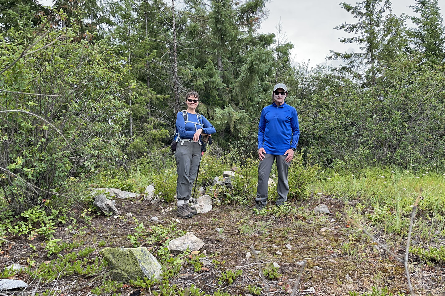 The summit is in the trees, 25 m from the viewpoint
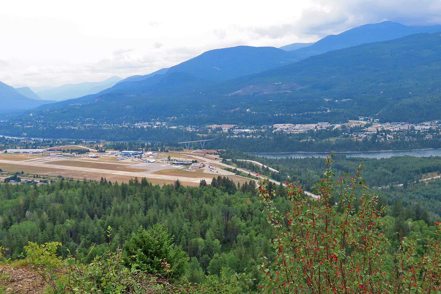 The Columbia River runs by the City of Castlegar. The airport is in the foreground.
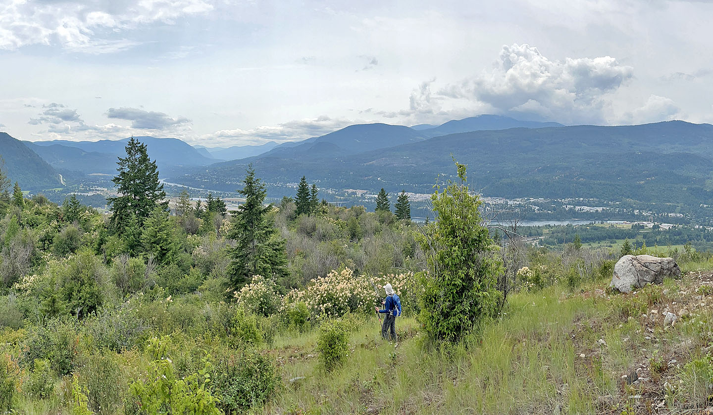
We followed the trail down the southwest slope
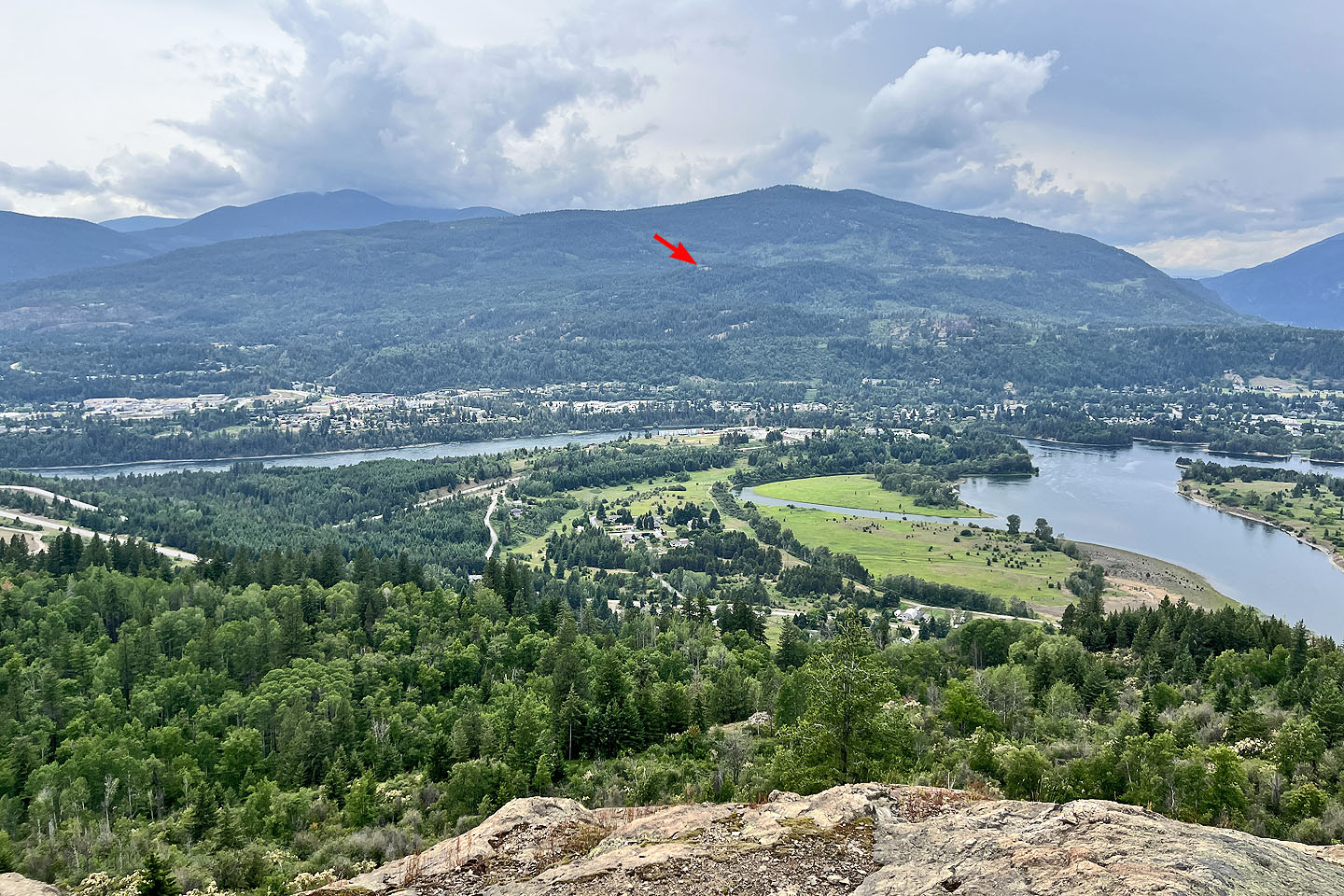 Partway down, we took a side trail to this viewpoint. The arrow shows Merry Creek Hill that we climbed that morning (mouse over for a close-up)