bobspirko.ca | Home | Canada Trips | US Trips | Hiking | Snowshoeing | MAP | About
Grotto Mountain (ACC Route)
Kananaskis, Alberta
June 30, 2018
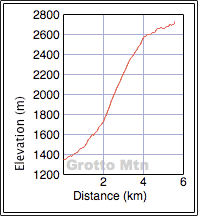
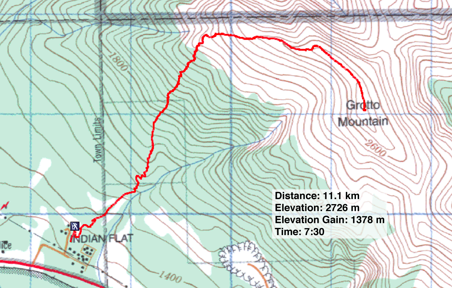
Distance: 11.1 km (6.9 mi)
Cumulative Elevation Gain: 1425 m (4675 ft)
Given its sheer size, its accessibility in Canmore's backyard, and being mostly a trail hike, it's no wonder Grotto Mountain attracts many hikers. Moreover, it enjoys a long climbing season. Indeed, even though Dinah and I have climbed Grotto a few times, it was always in winter conditions. For us, a summer ascent here was a novelty. And although I posted the direct route, I thought I should add the easiest route, the ACC (Alpine Club of Canada) route.
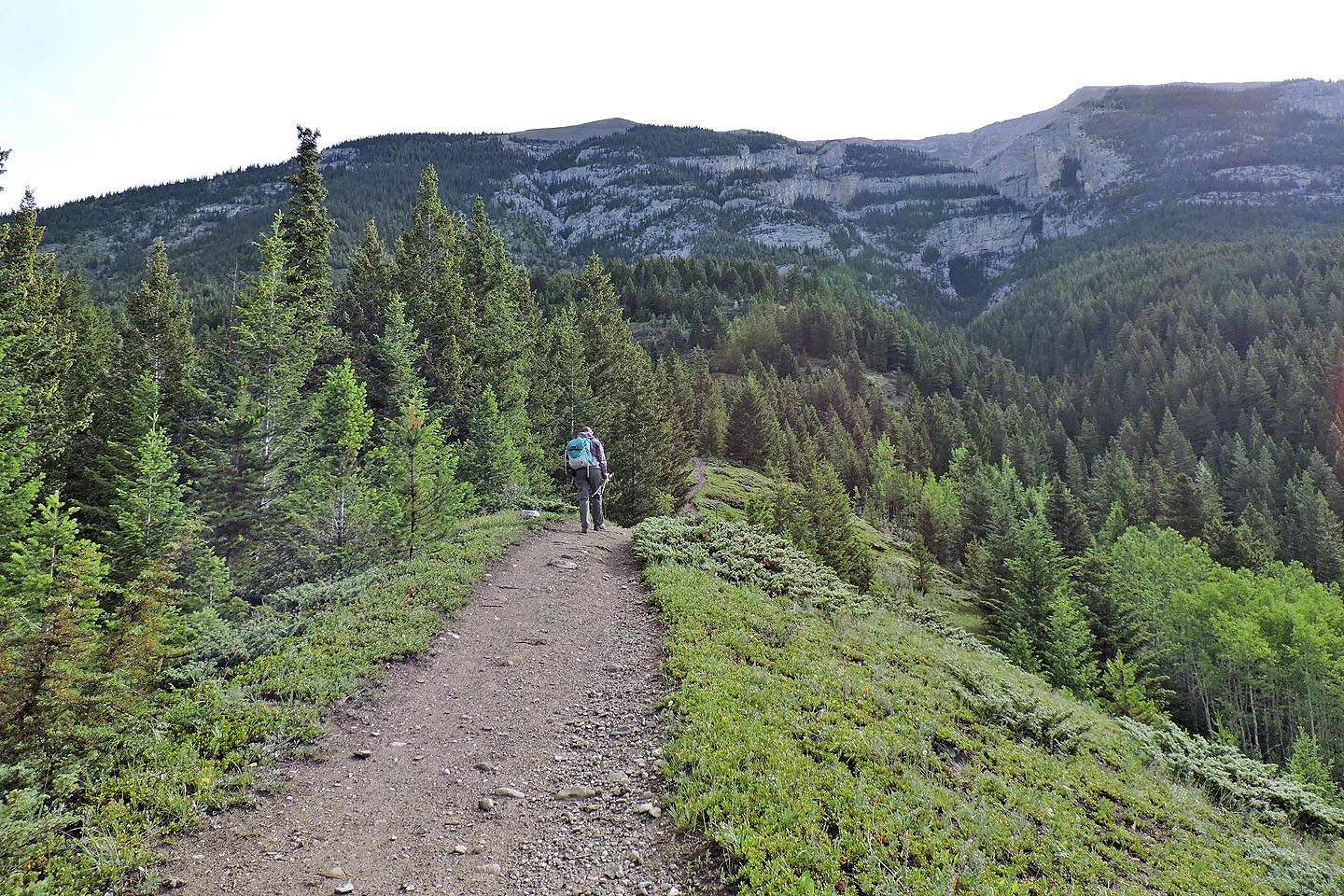
Starting at the Alpine Club of Canada site, the trail begins on an undemanding grade but eventually becomes quite steep. It rockets straight up before easing into switchbacks. After going up a couple of gentle cliff bands, the path suddenly breaks out of the trees. From there, a lengthy trail runs up a scree slope to the rocky ridge.
We were partway along the ridge when Dinah was hit with vertigo; years ago a viral infection in her inner ear robbed her of her balance and she never fully recovered. She had to sit down but urged me to continue without her.
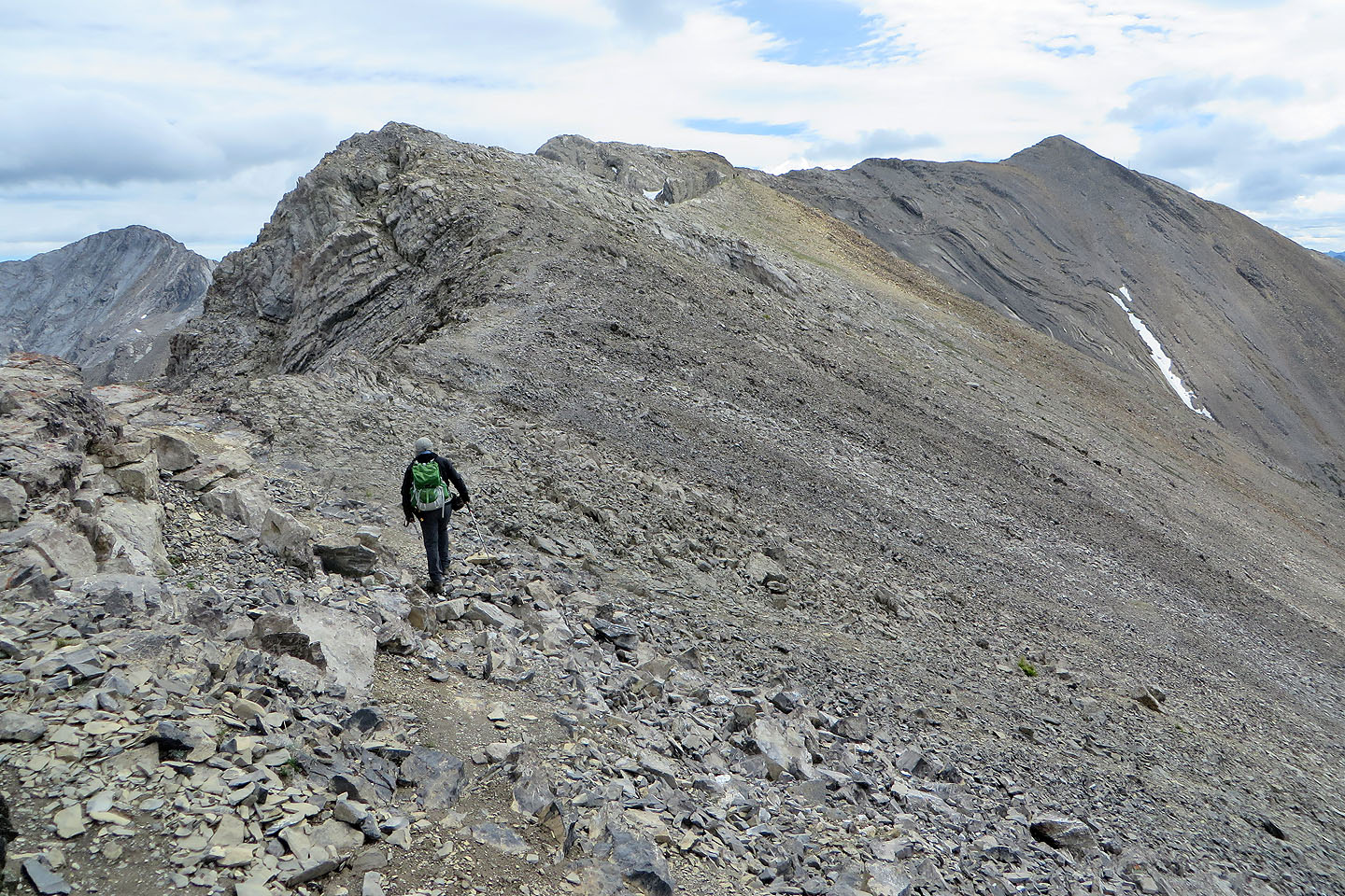
After leaving her, I easily downclimbed a two-metre cliff band, the only scrambling bit along the ridge. The trail then crosses over and briefly runs below the ridge on the left side before returning to the crest. Beyond that, it's a straightforward ridgewalk to the base of the pointy summit. But even here, there's a trail going to the top.
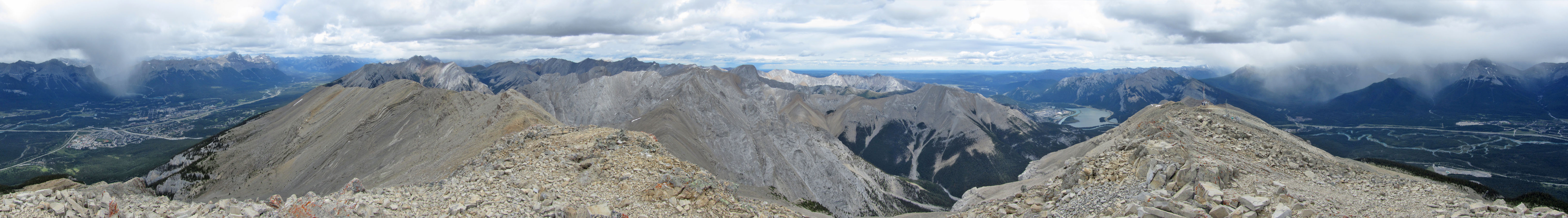
Throughout the trip we encountered hikers on this popular route, so it was no surprise to run into people on the summit. I took a few photos and then quickly returned to join Dinah. She had recovered, so we headed back down. Having reached the summit before, she didn't feel shortchanged. And like me, she enjoyed returning to Grotto Mountain after an absence of many years.
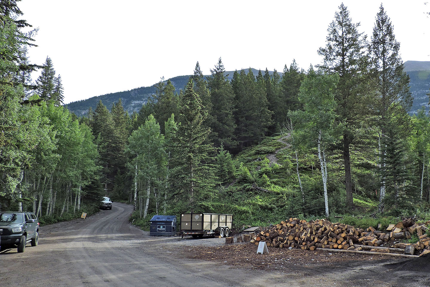
View of Grotto Mountain from the parking area. The official trailhead is 100 m up the road, but there's a flagged shortcut behind the dumpster.
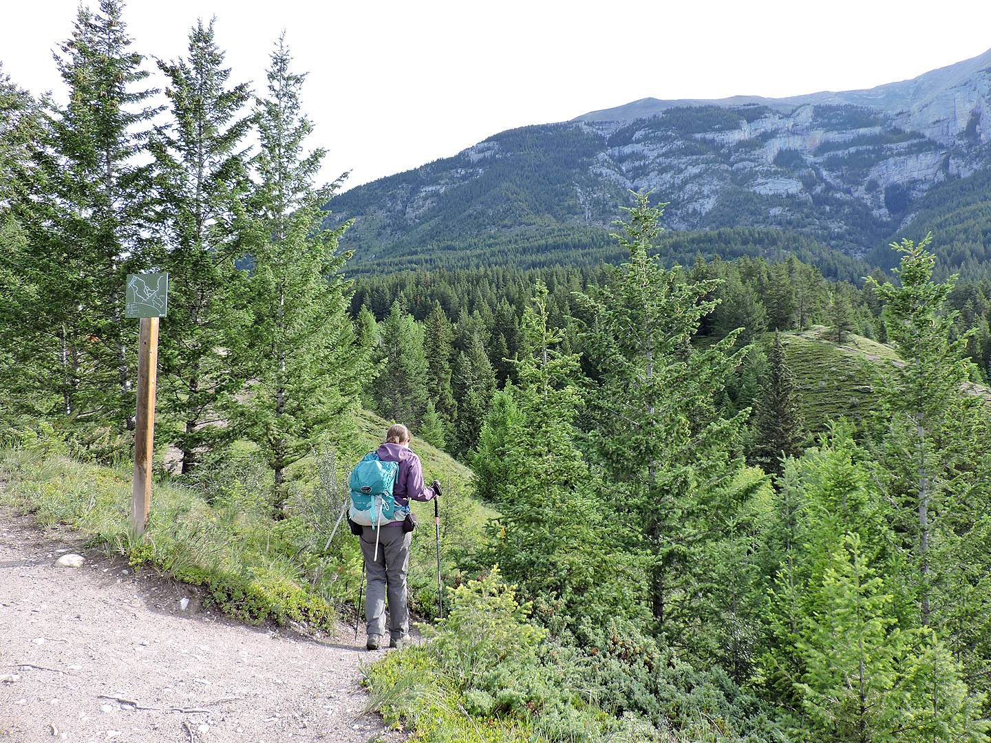
A few minutes after starting out, we took a right fork that dips down before going back up
Summit is on the right
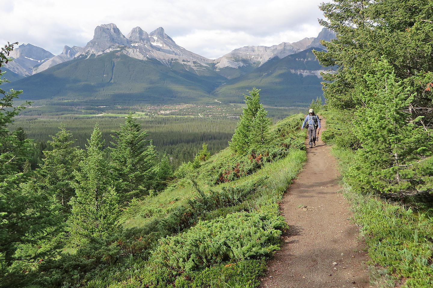
Three Sisters in the background
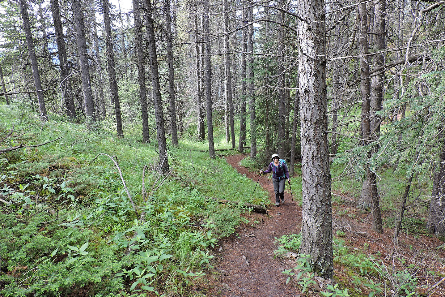
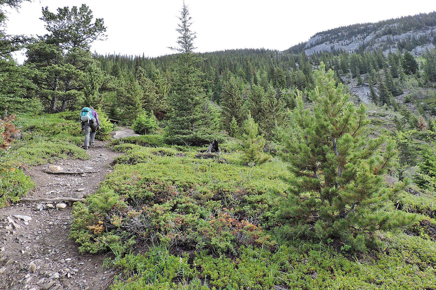
The trail dips briefly into a lush forest
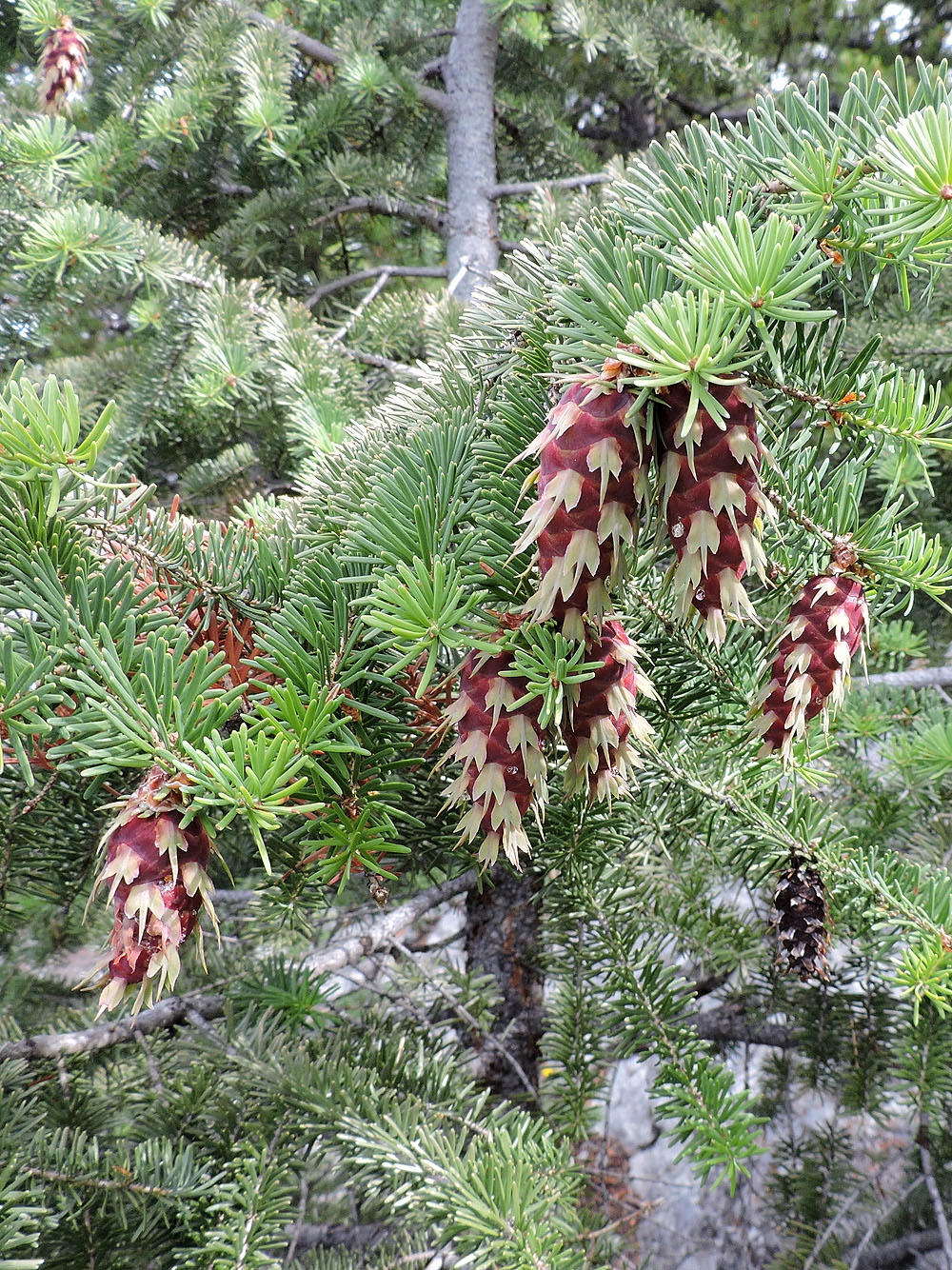
These Douglas fir cones caught my eye
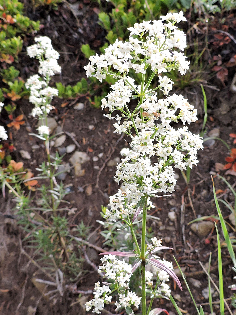
Northern bedstraw
After this, the trail begins a steep climb
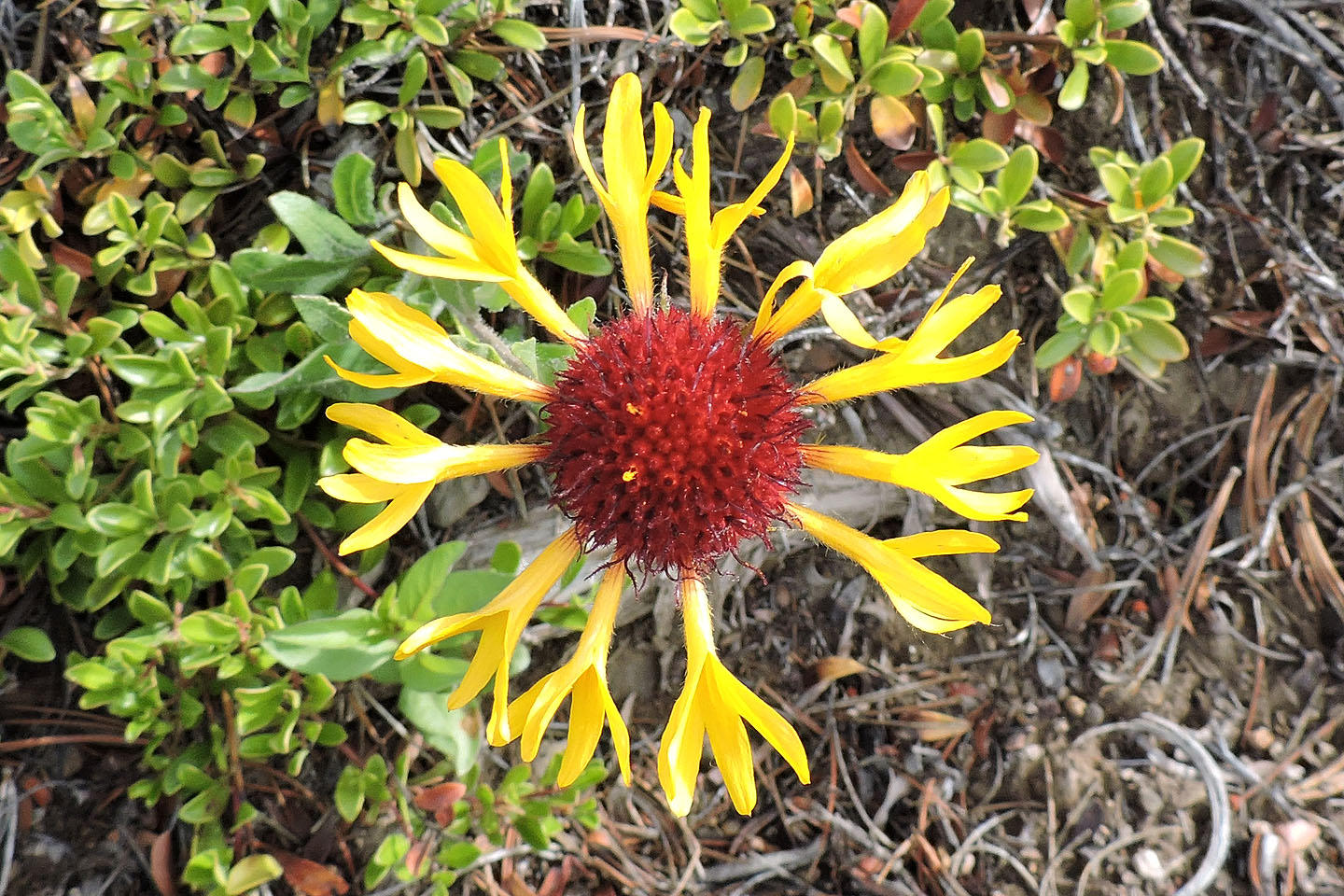
Great blanket-flower
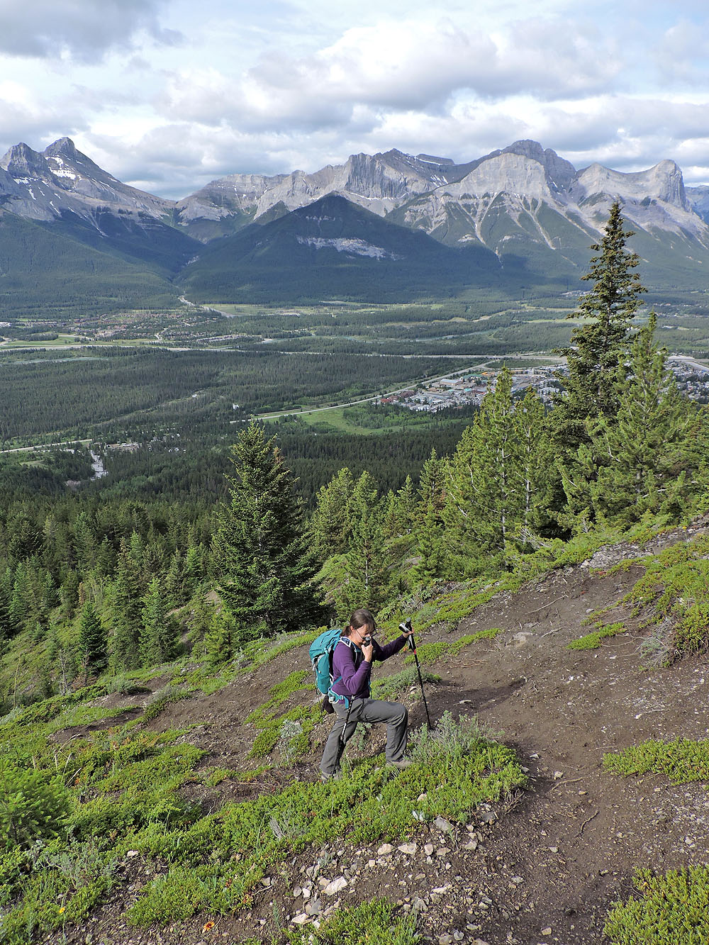
Hiking up the long, steep stretch
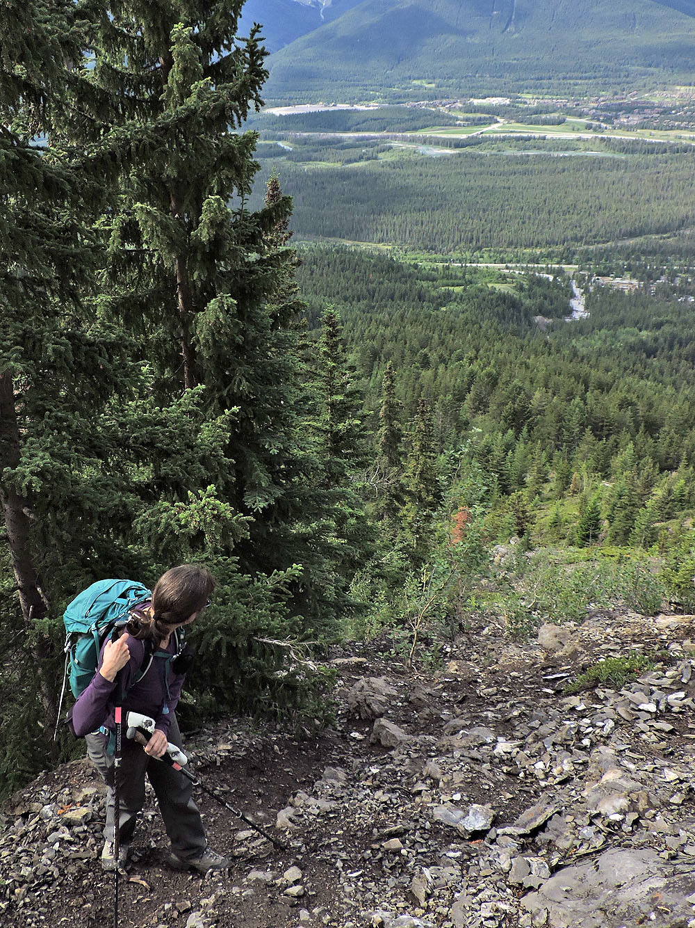
Dinah looks back at the steep ascent
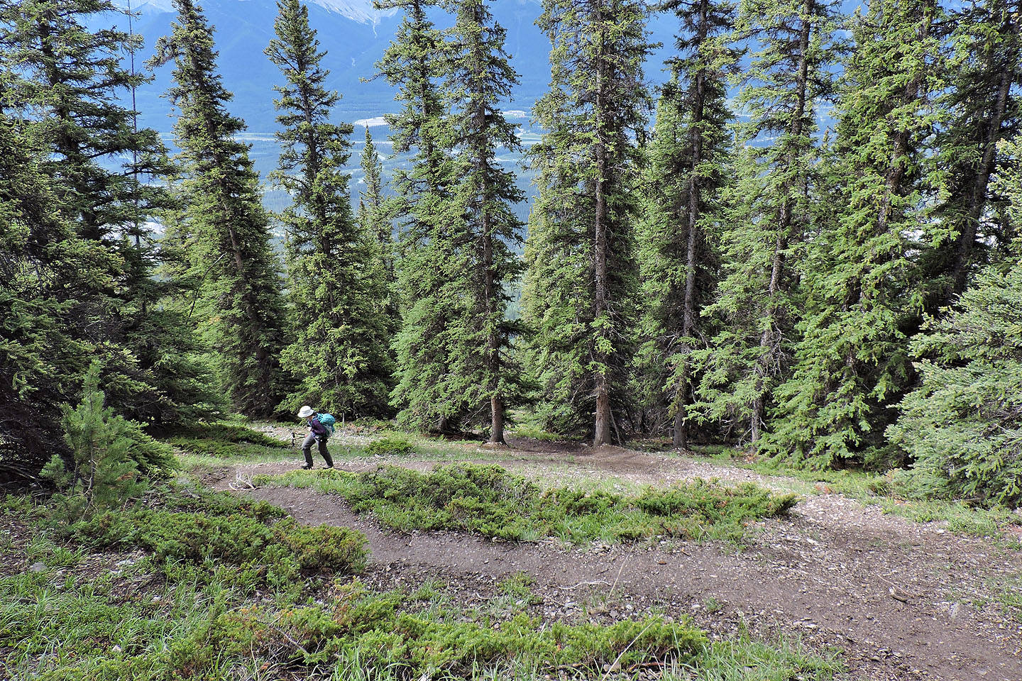
The climb relaxes when switchbacks kick in
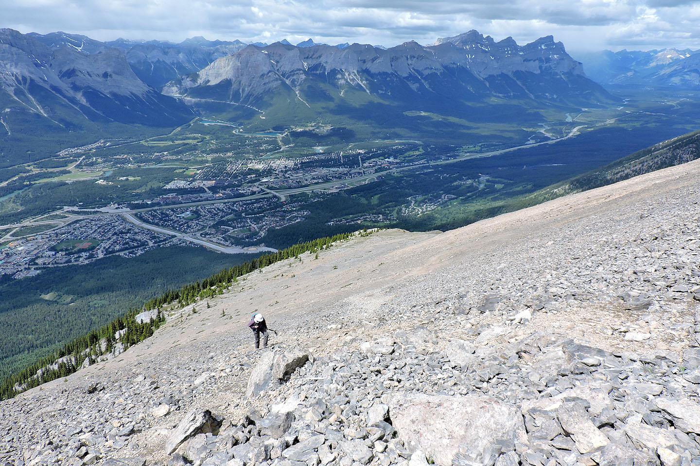
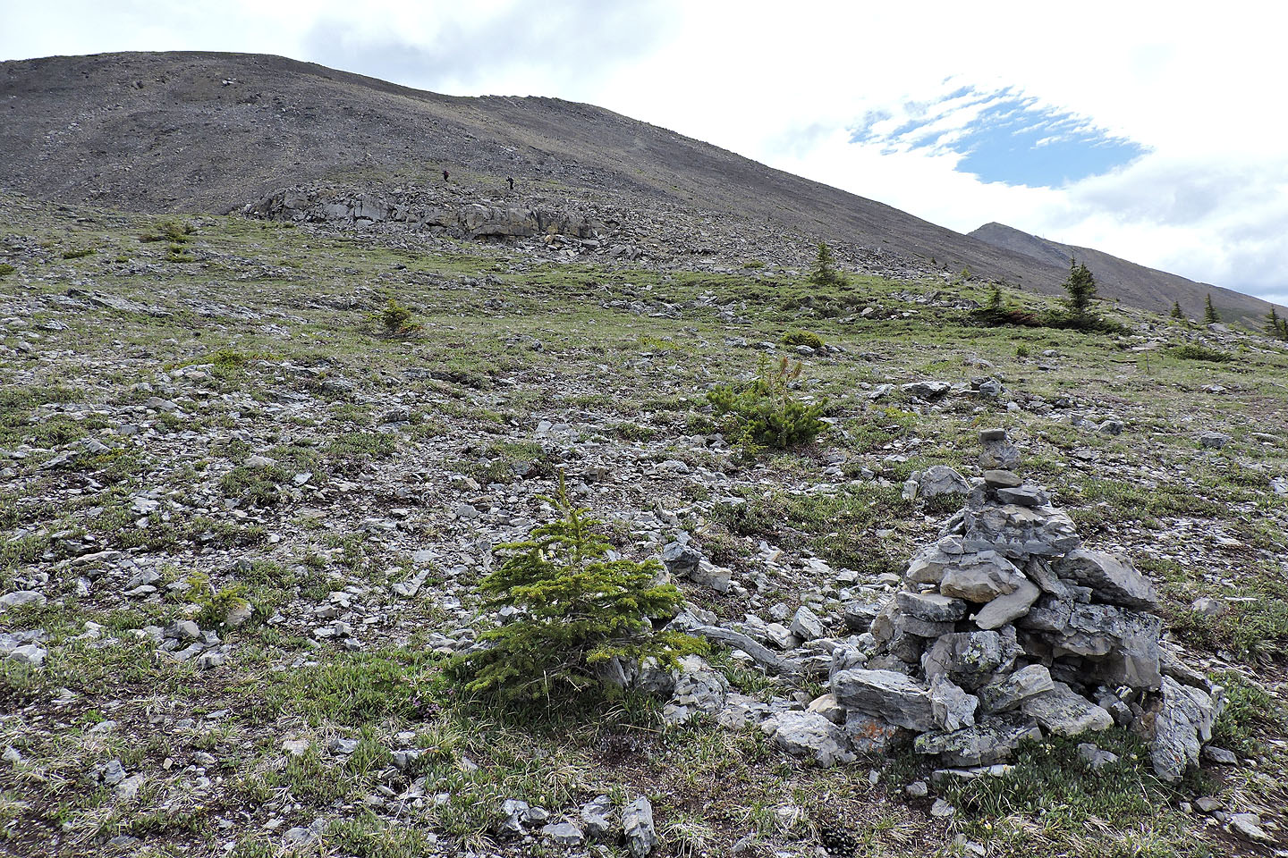 Above the treeline there's a long trail in scree
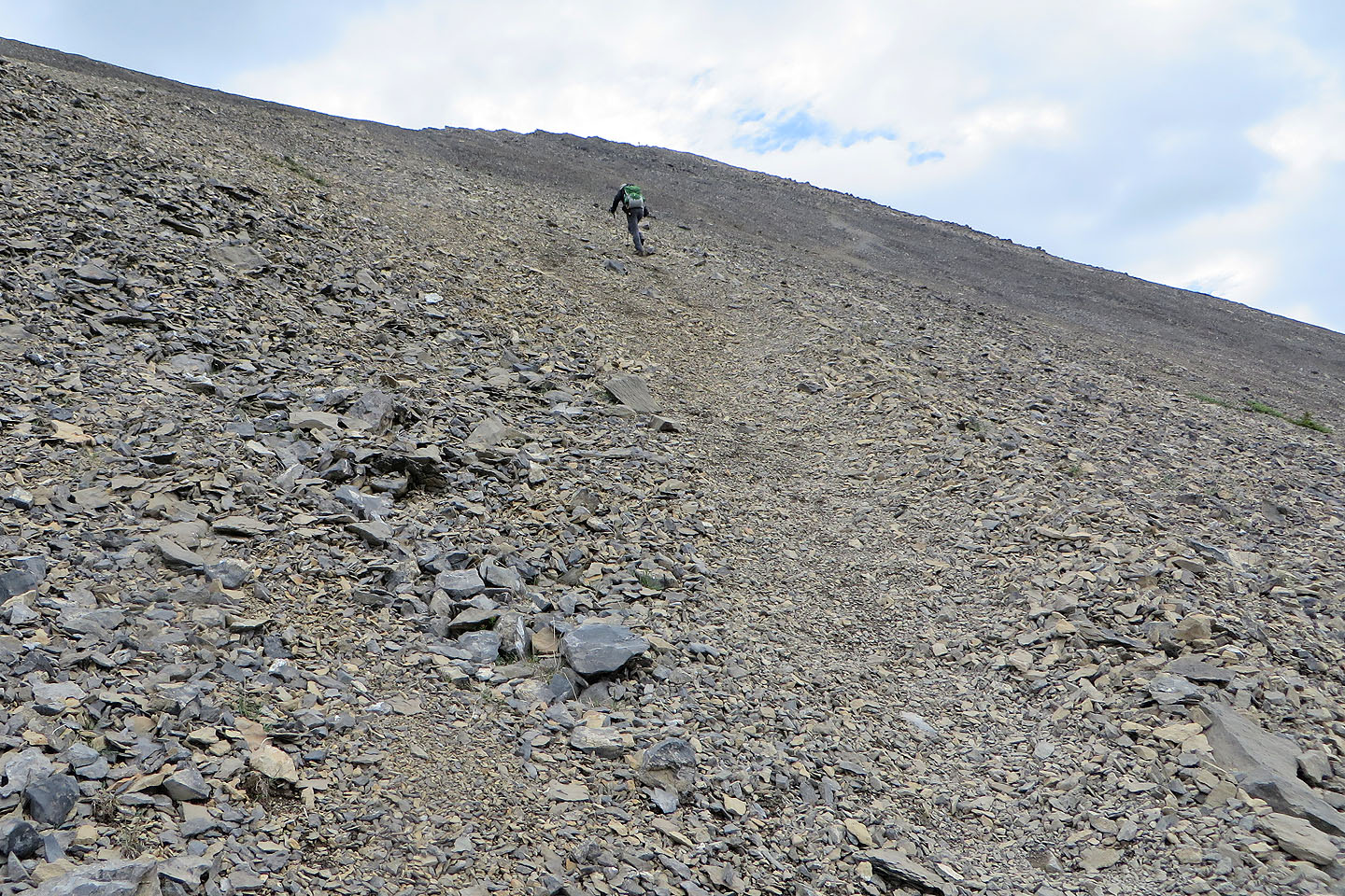
Plodding up the trail to the ridge
Looking back from the top of the ridge
Heading to the summit
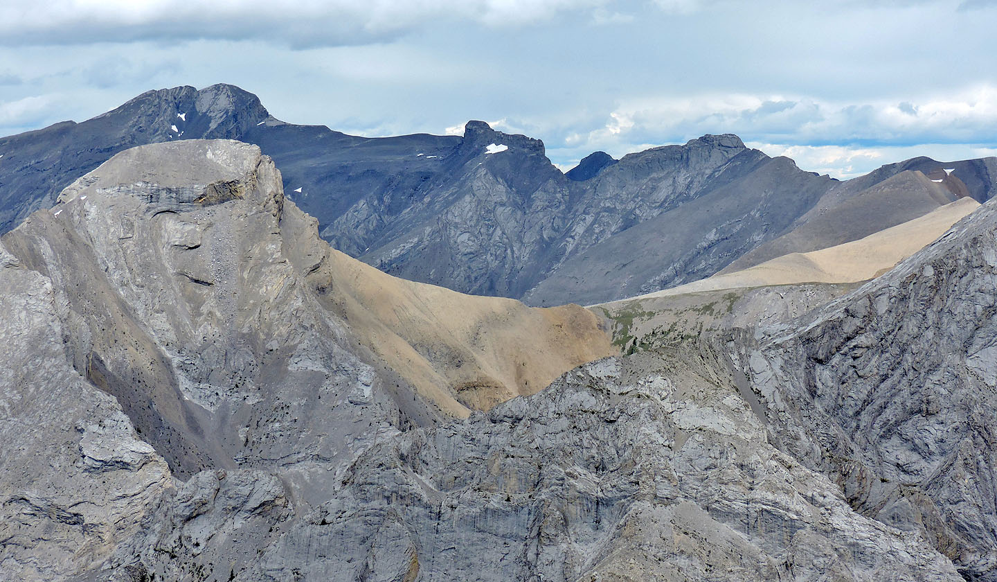
On the skyline L to R: Mount Townsend, Epic Tower, Mythic Tower, and Little Mythic Tower. Left in the foreground is Cougar Peak.
Dinah stopped before the short cliff band
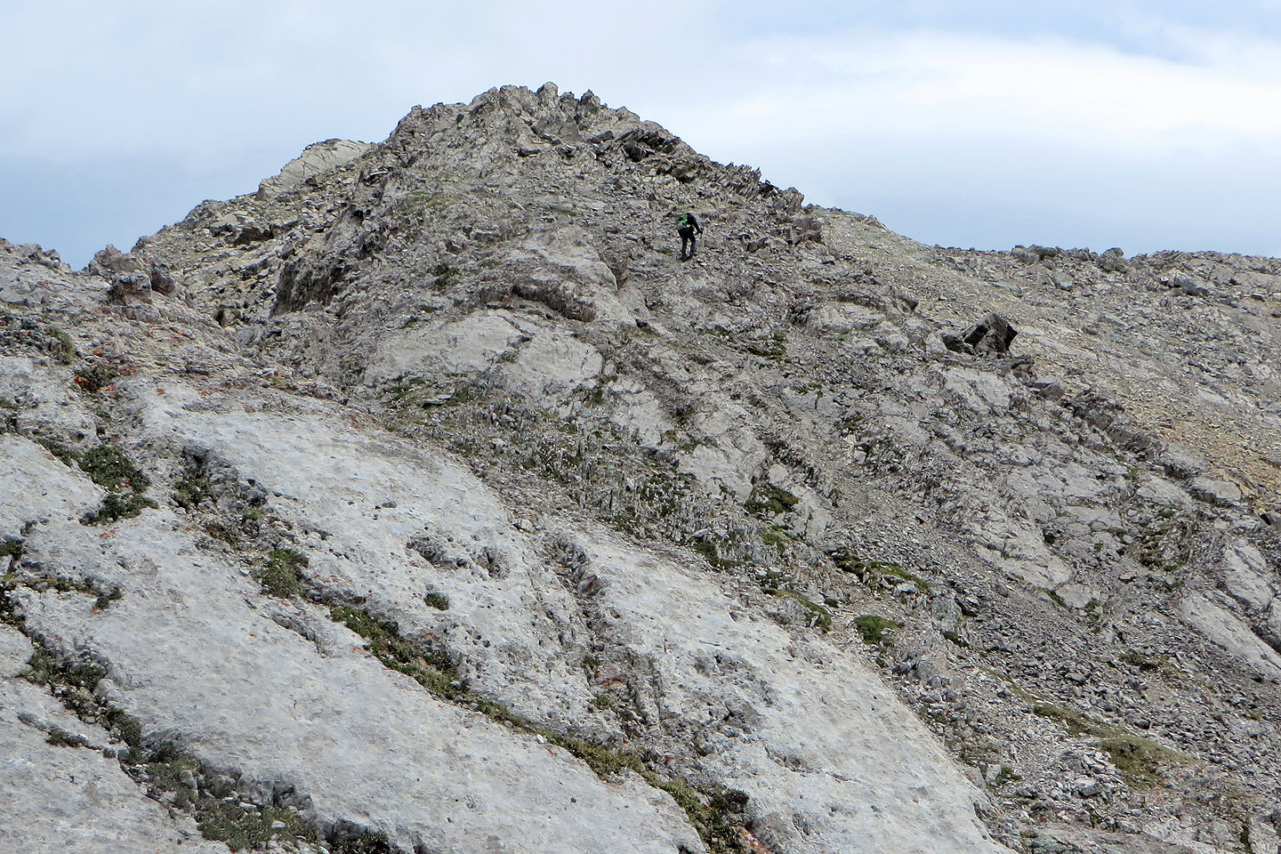
I continued along the ridge
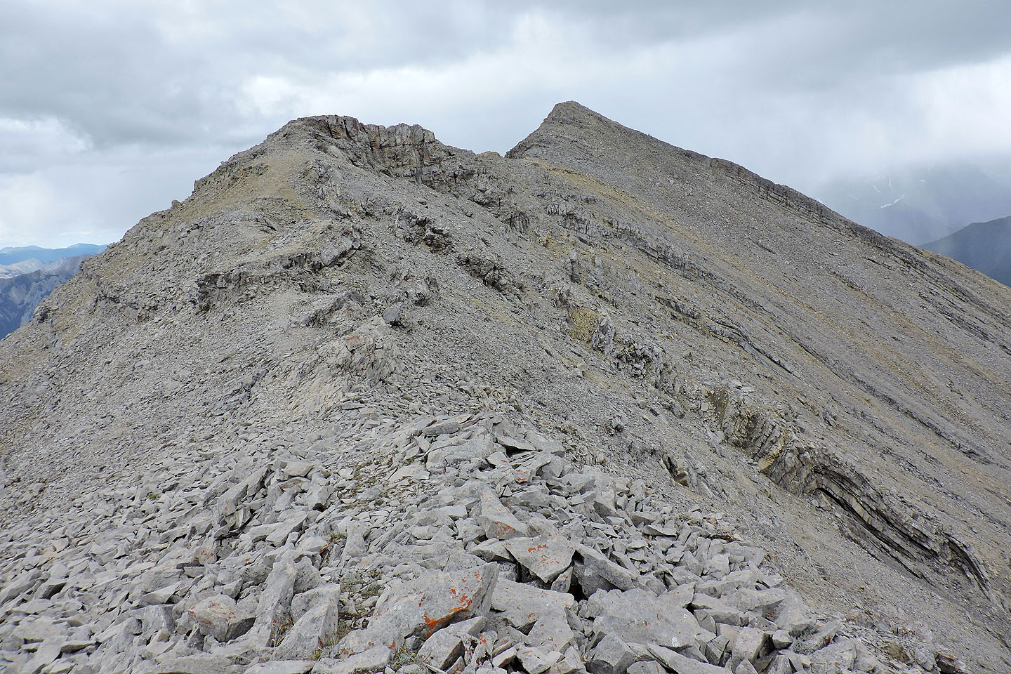
After regaining the ridge, it's a walk to the summit
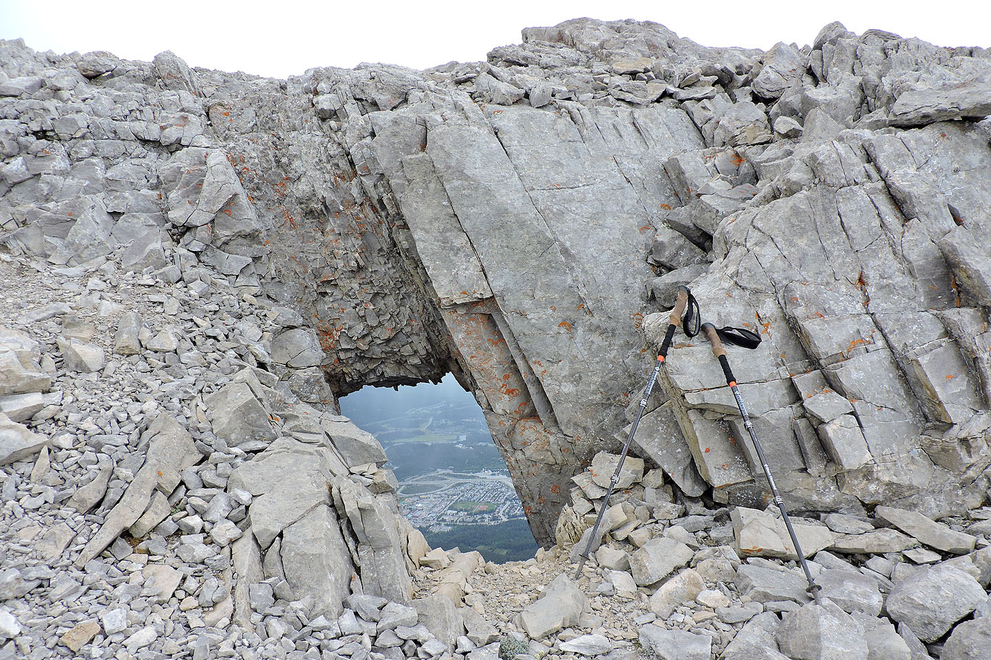
230 m before the summit, there's a small window
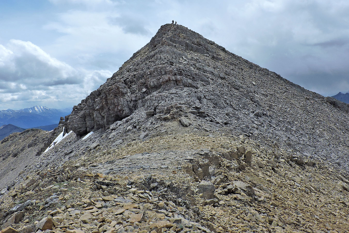
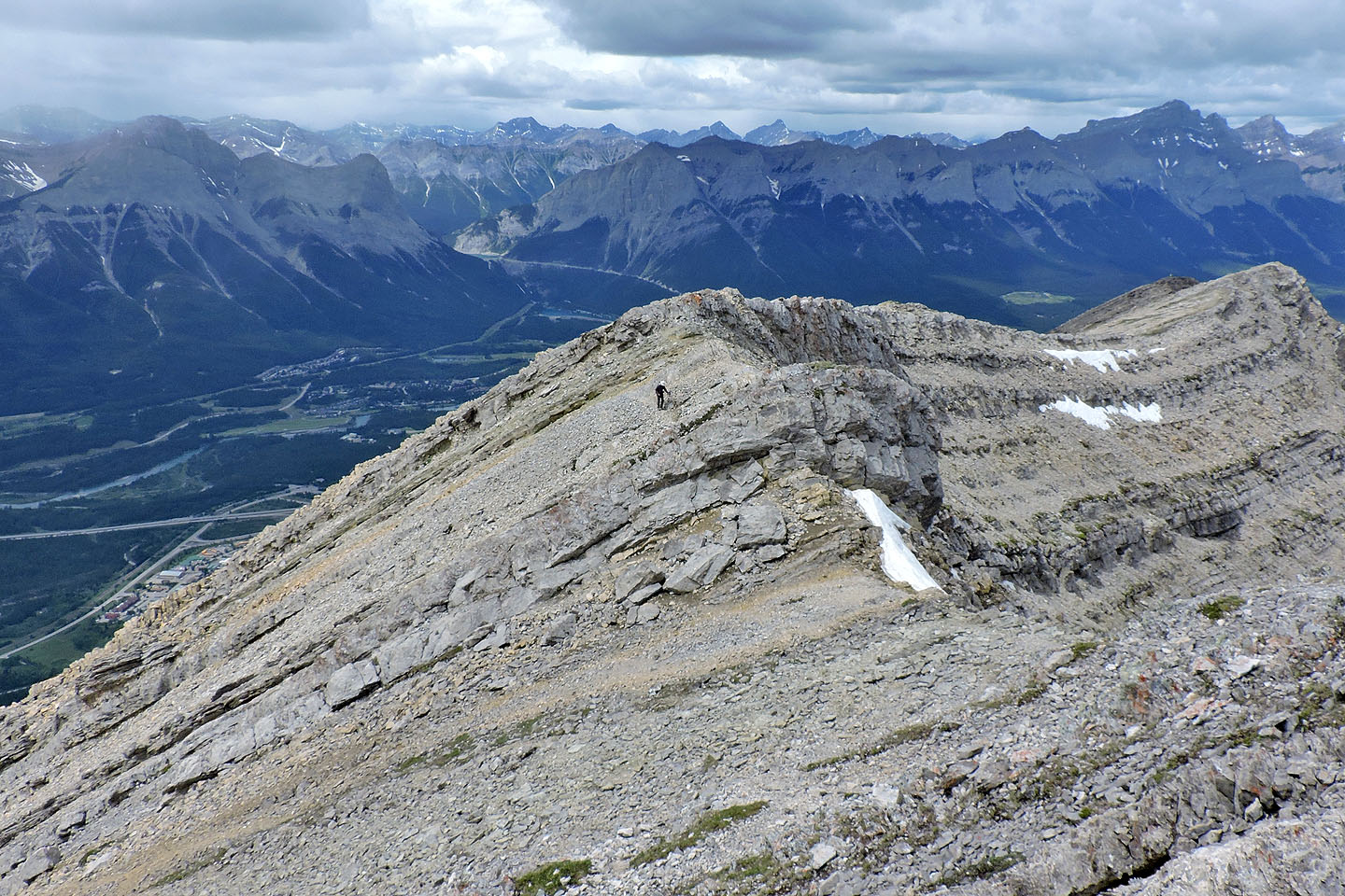
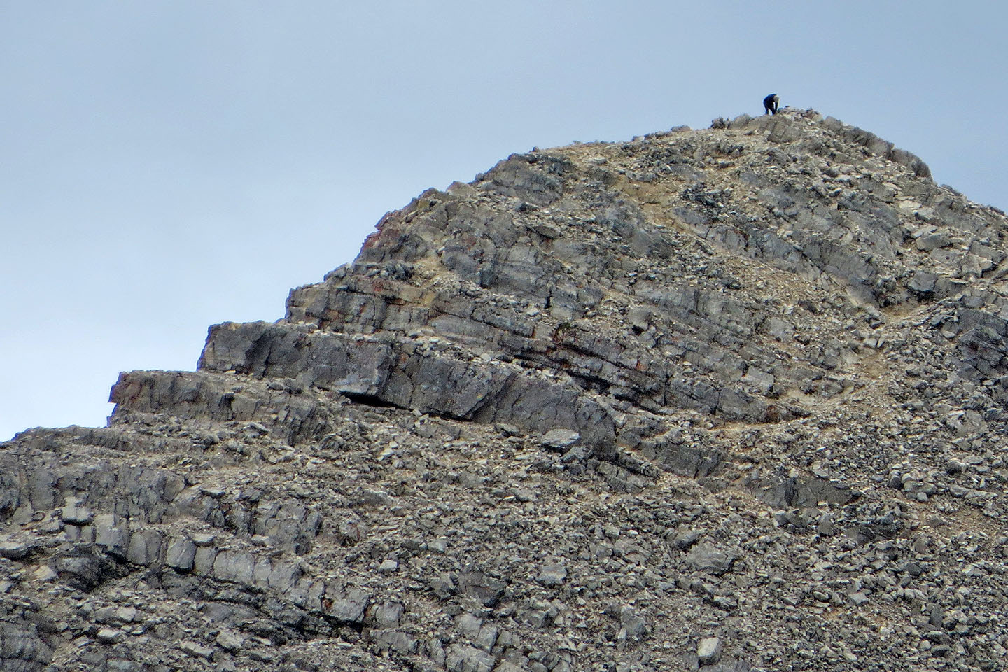
The trail runs to the summit while avoiding the cliff bands
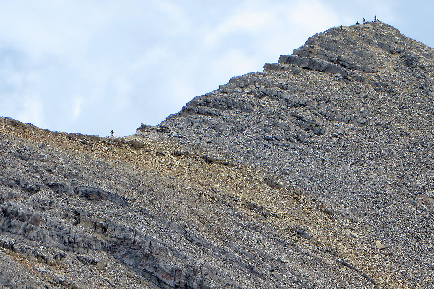
Dinah took this shot of me on the ridge while a few hikers appear on the summit
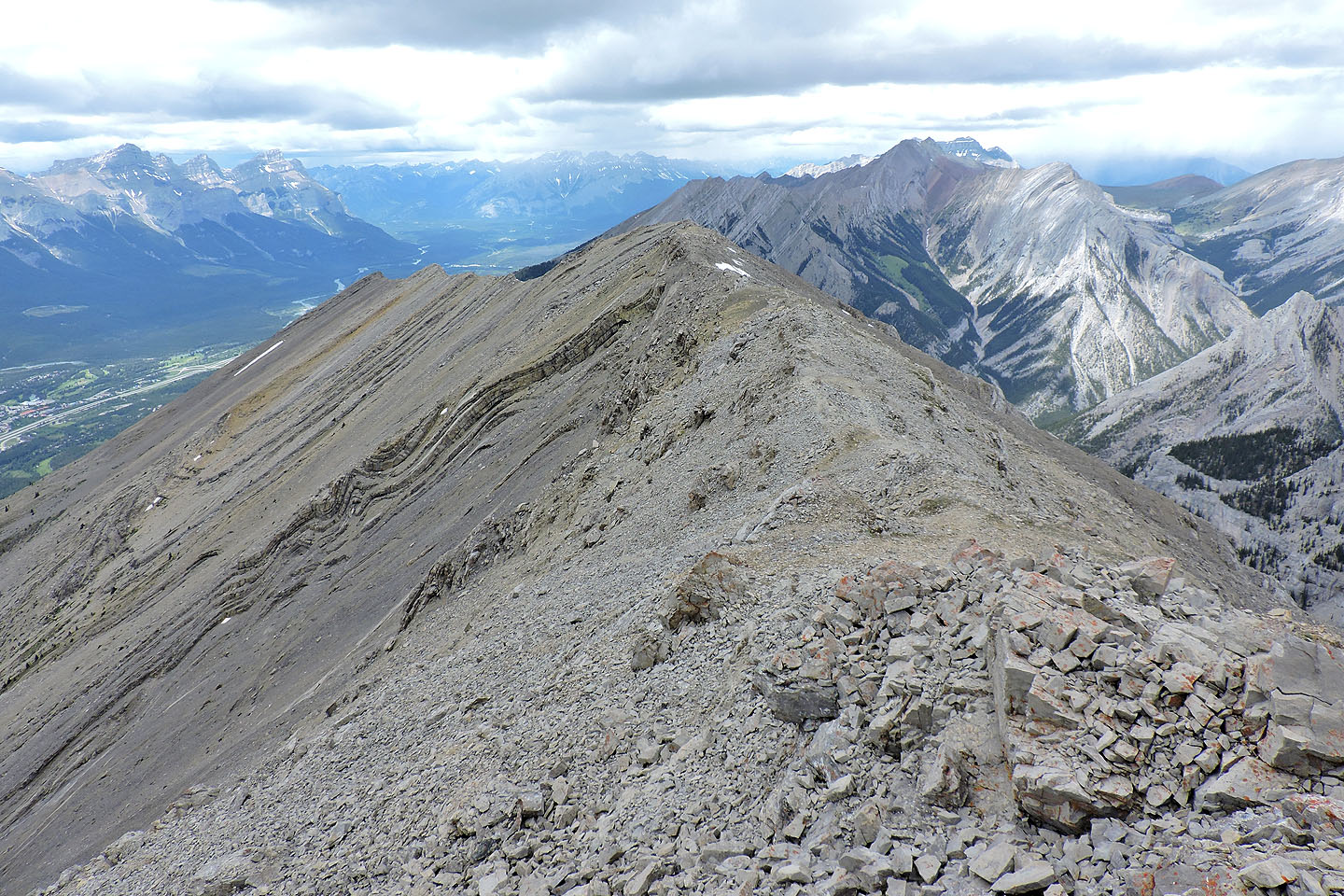
Looking back along the ridge
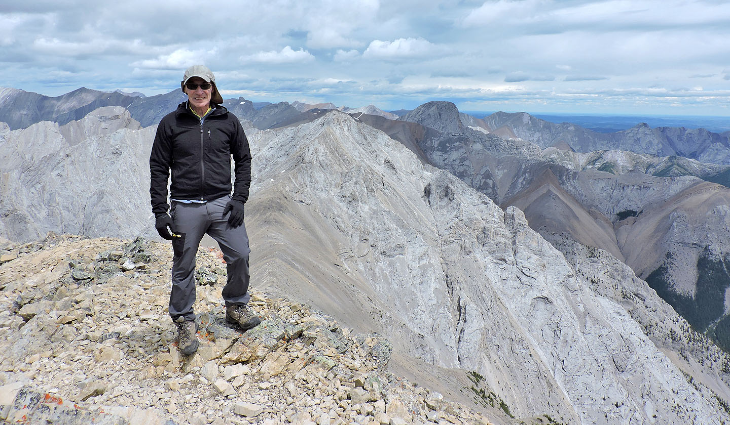
I was reaching into my pack when Dinah took a photo of me on the summit
One of the girls on top was kind enough to take this photo
82 O/3 Canmore