bobspirko.ca | Home | Canada Trips | US Trips | Hiking | Snowshoeing | MAP | About
Cougar Peak
Kananaskis, Alberta
May 13, 2001
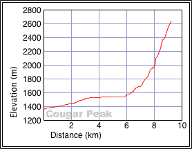
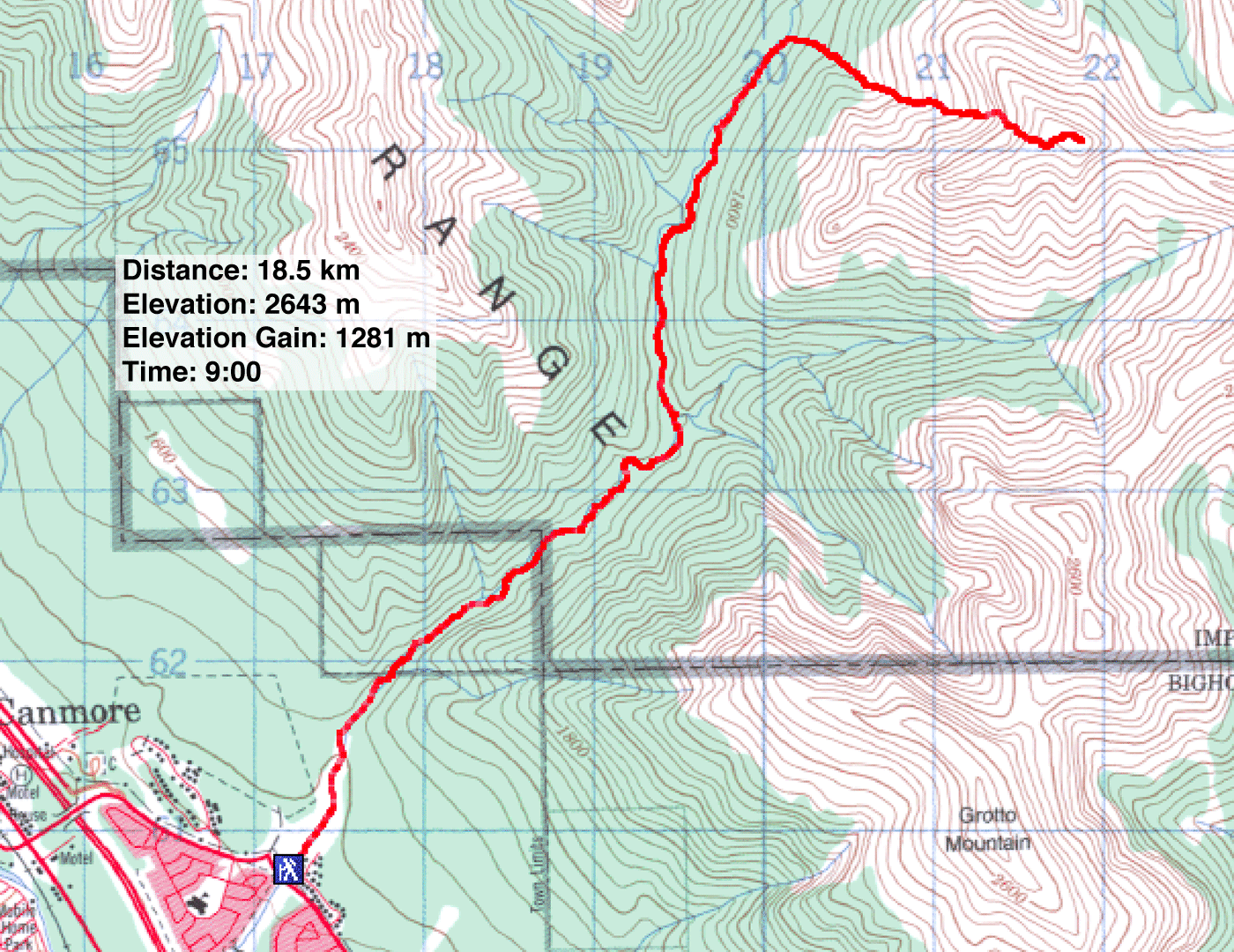
Distance: 18.5 km (11.5 mi)
Cumulative Elevation Gain: 1400 m (4593 ft)
After studying the topo map, I couldn't help noticing this obvious peak overlooking Cougar Creek. The creek would provide a good approach, but beyond that, I couldn't ascertain a route up the mountain from looking at the map.
So Dale, Kari, Dinah and I set off, with plans to explore a route. We didn't expect to find the way up in one trip and had no intention of trying for the summit. Yet we nailed the route and reached the summit. It has no name, but I called it "Cougar Peak."
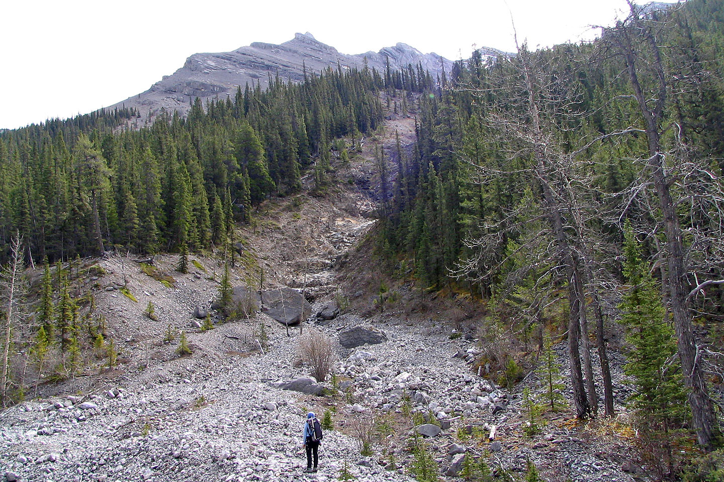
Starting up Cougar Creek, we took the left fork at the Canadian Forks. 45 minutes after leaving the Forks, we came across an obvious gully (201657) 7 km from the trailhead. It was the first break in the trees on the east bank since we left the Forks.
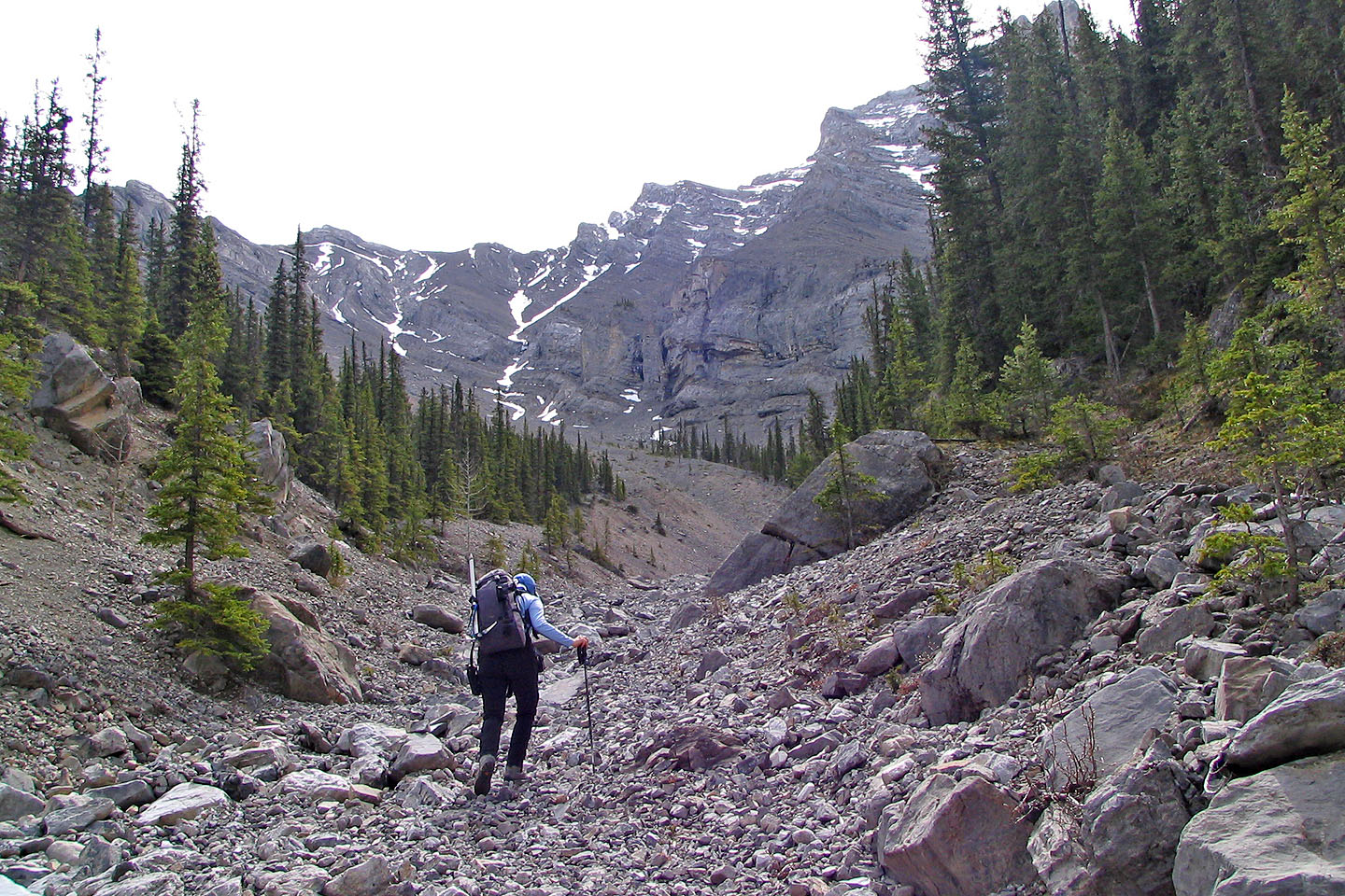
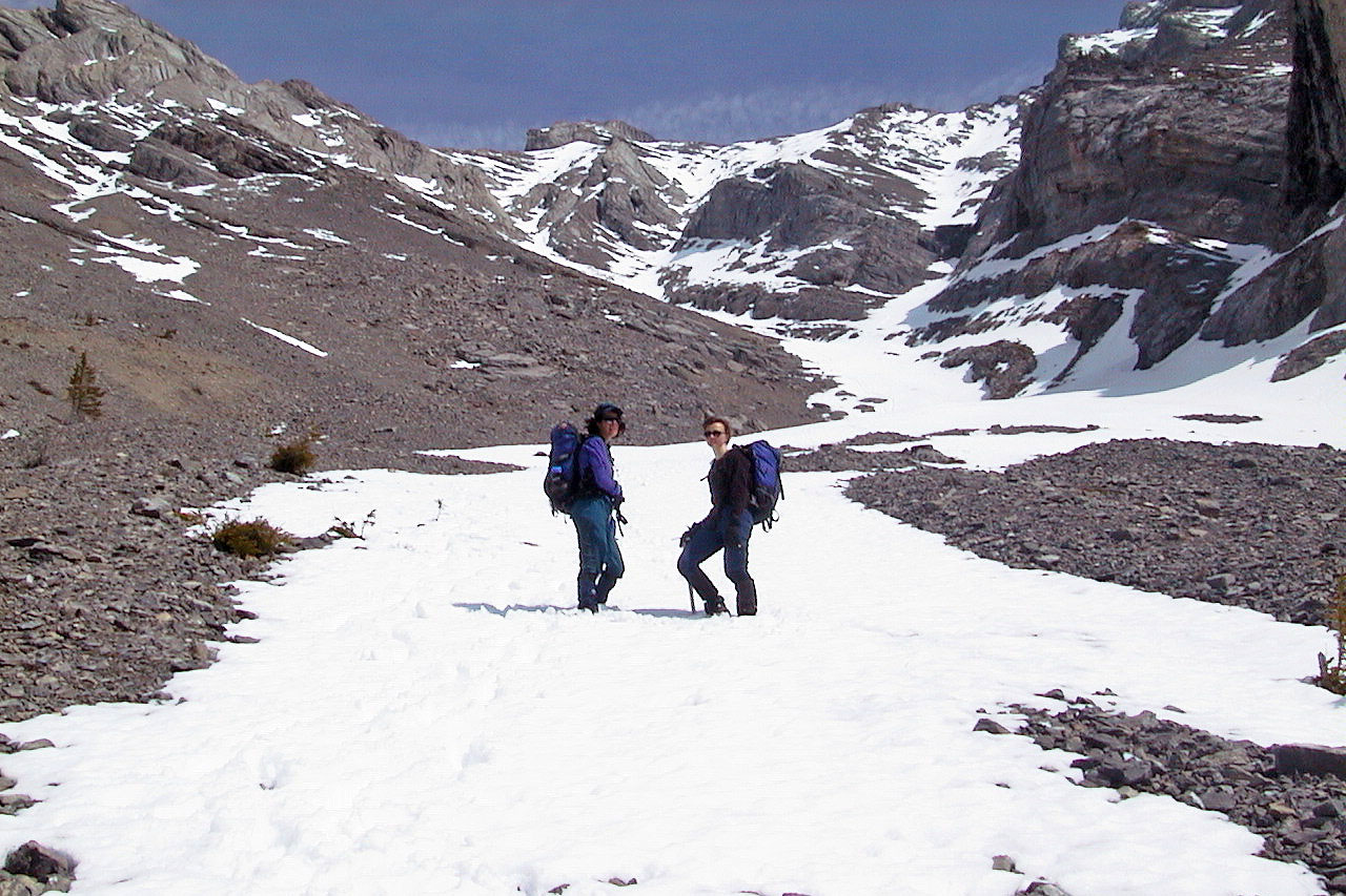
The break is actually the start of a gully. It was steep at first, but after a few minutes, it leveled off. The gully continues climbing straight up, but we took a side drainage on our left to reach a broad scree slope below Cougar Peak. Here an enticing scene unfolded. An expanse of scree extended left along the mountainside, while a cliff band rose above us on our right. Ahead of us, however, a gully extended toward a col. We set out for it. It was a steep climb to the col, but an easy hike to the summit.
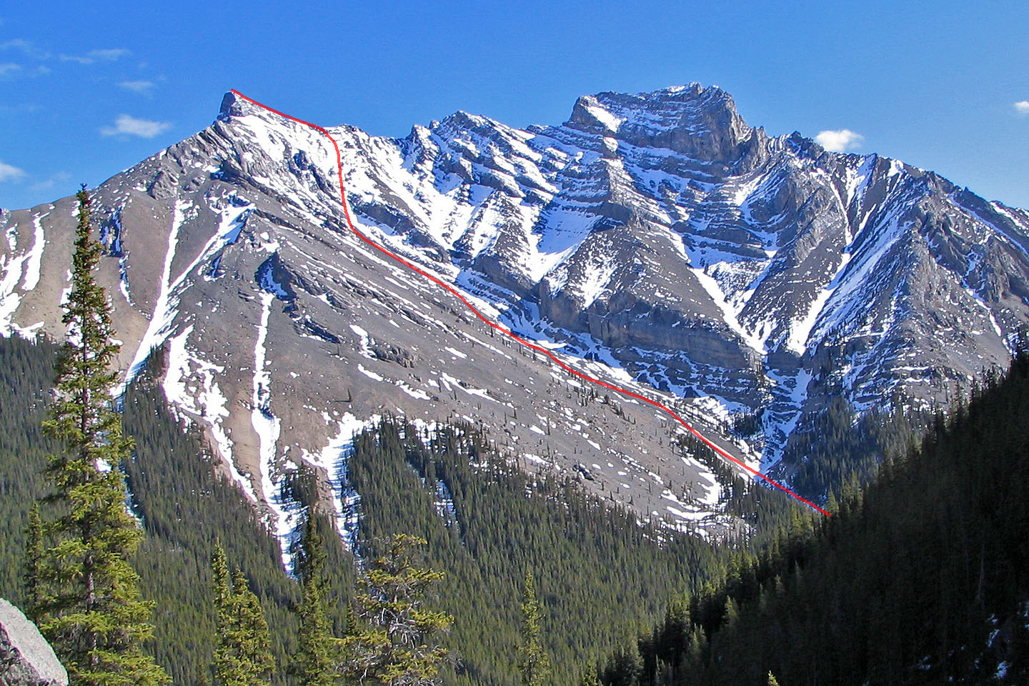 Cougar Peak seen from farther up Cougar Creek (despite appearances, the highest point is left)
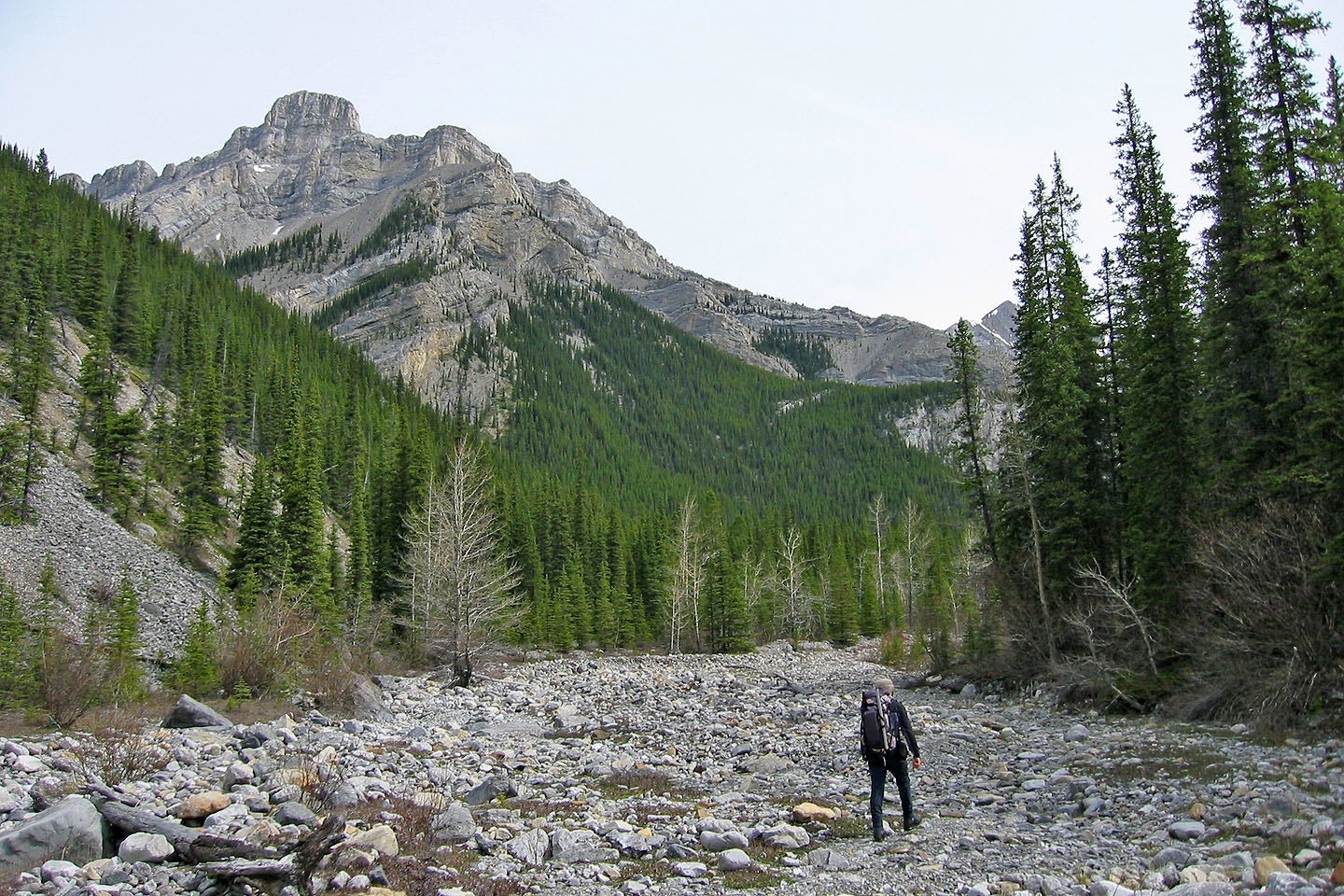
Hiking up Cougar Creek
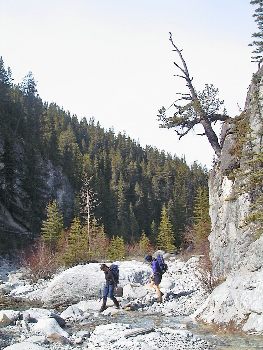
Dinah and Kari cross the creek
Starting up the side gully that drains into Cougar Creek
Starting up the gully
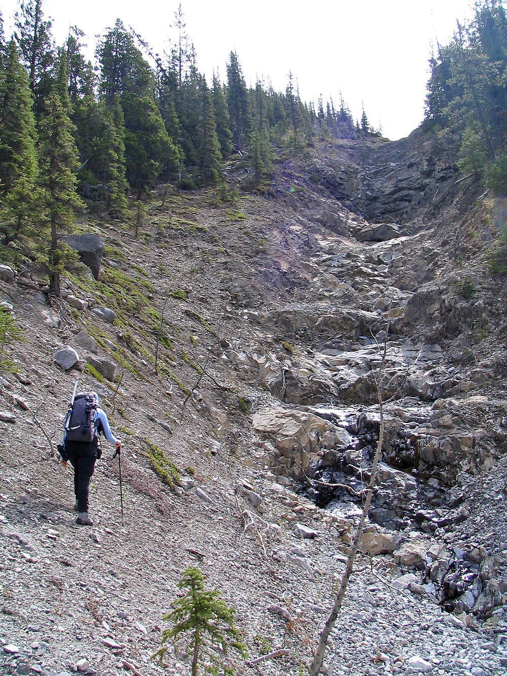
After passing the trees, we exited the
gully on the left side
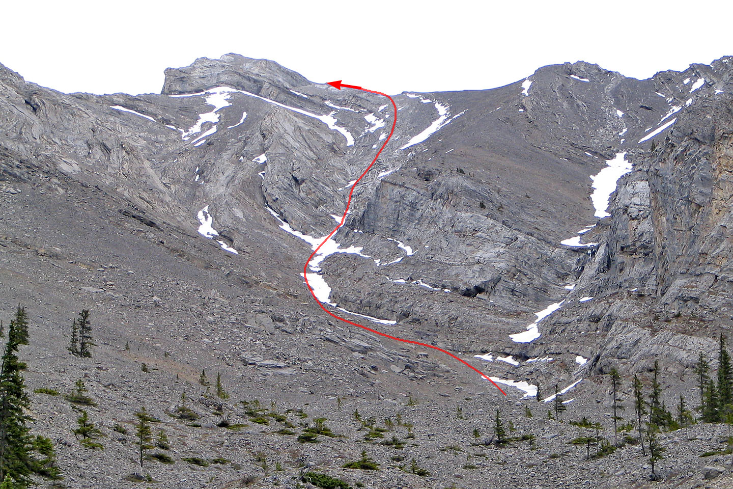
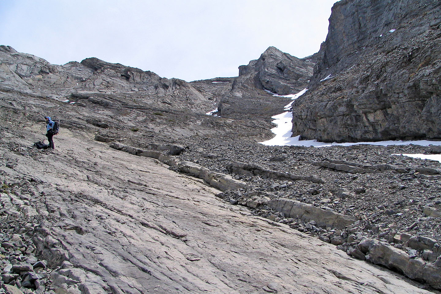
The route as seen after leaving the first gully
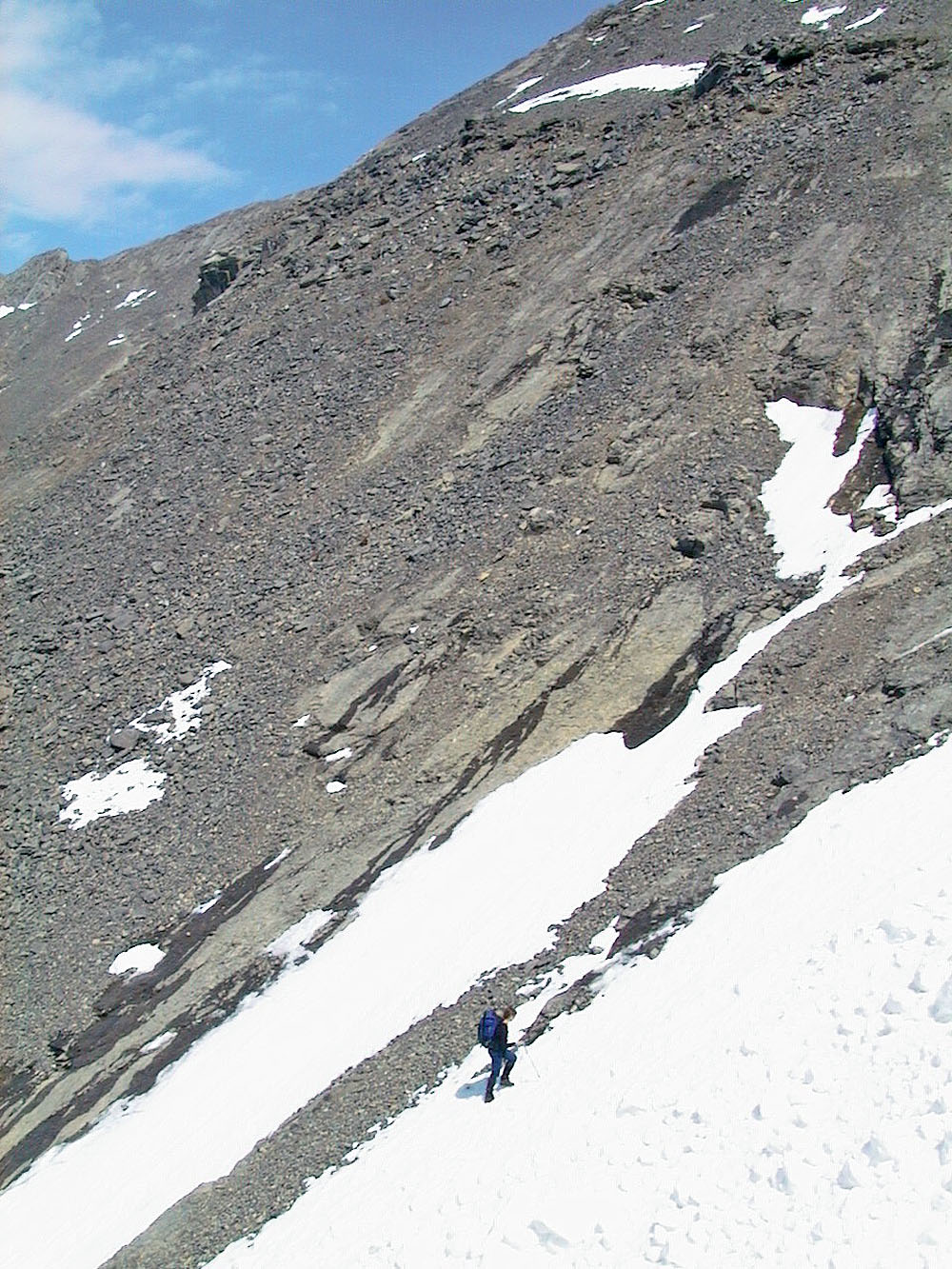
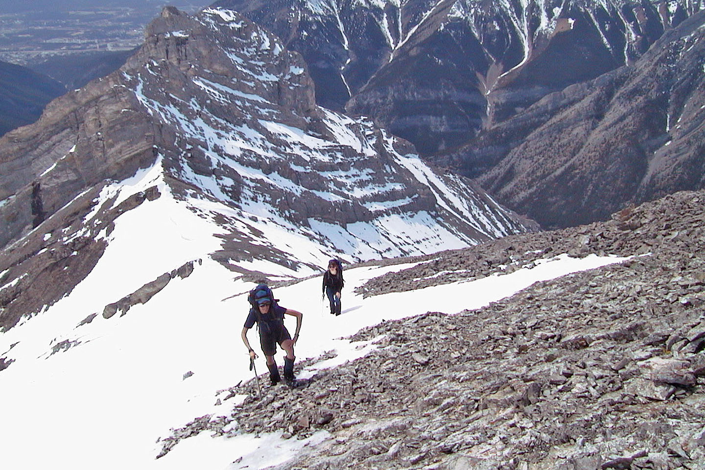
The grade is quite steep
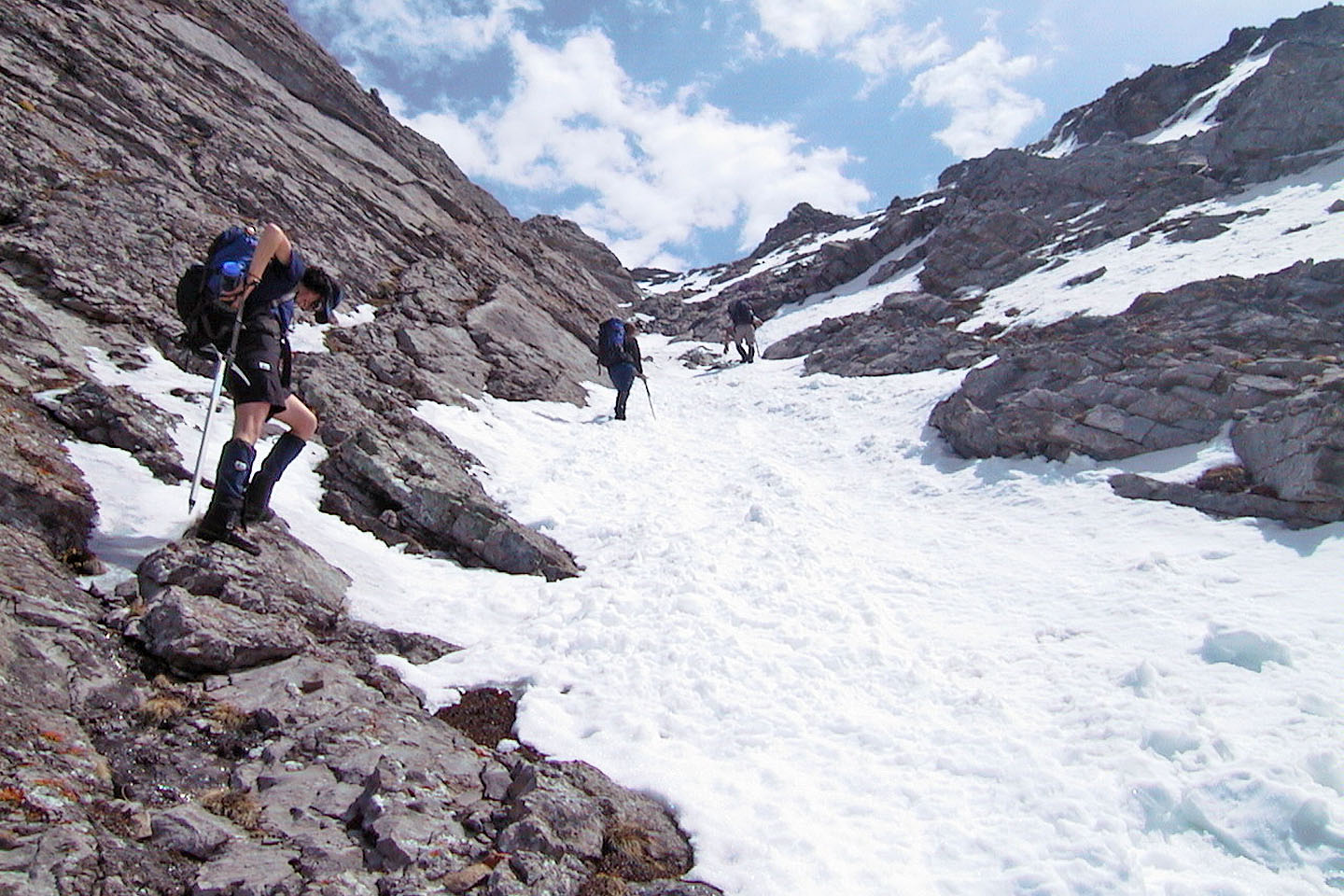
We went up the gully on the right, with the snow strip
Starting up the gully
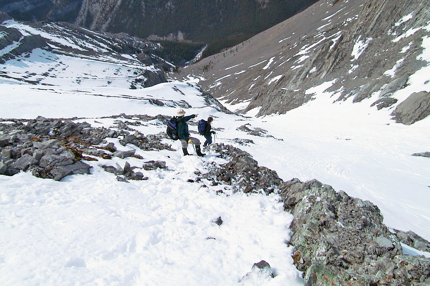
At the col and minutes from the summit
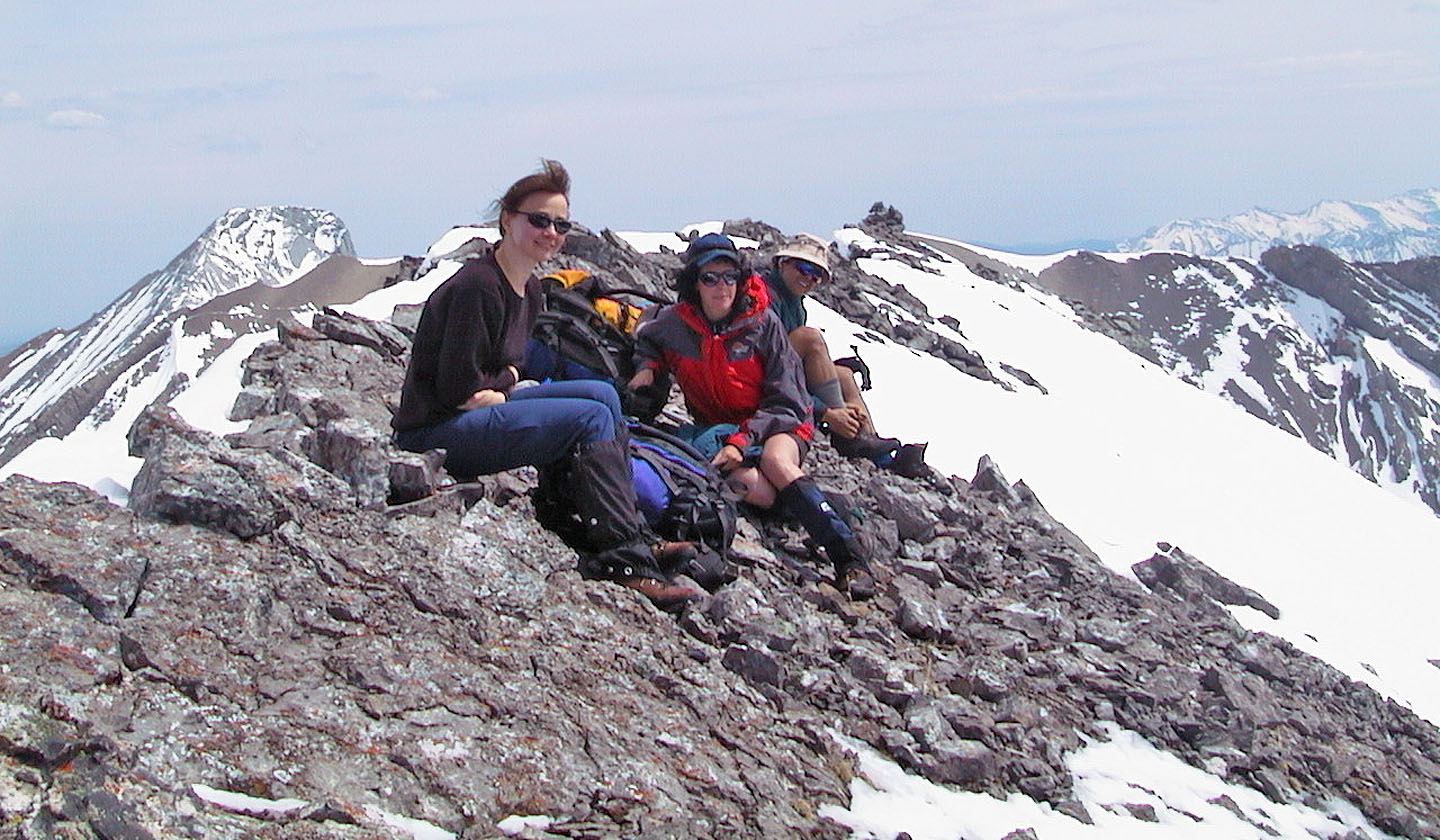
Relaxing on the summit
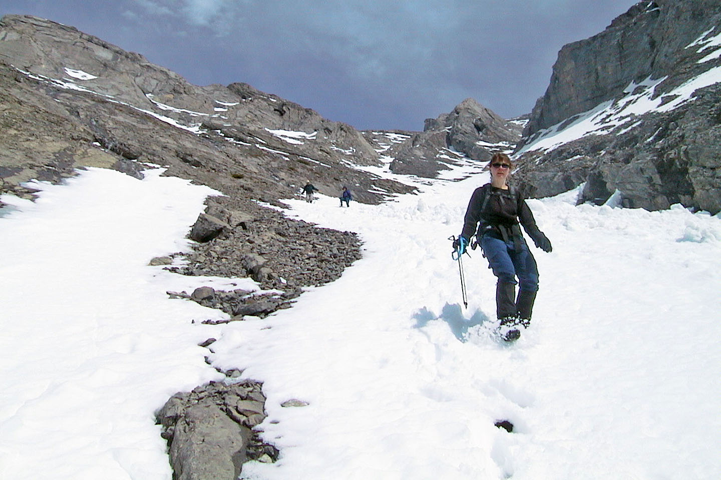
Coming down from the col
A quick descent using the snow
Pausing on the way down
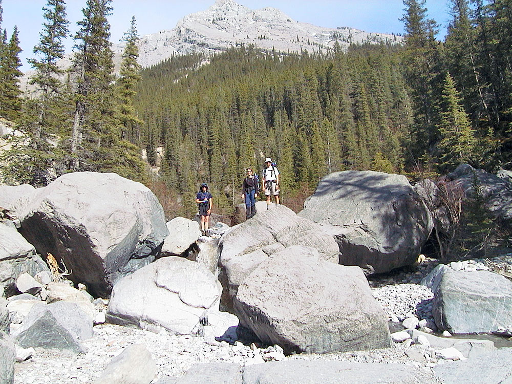
Negotiating boulders in the creek
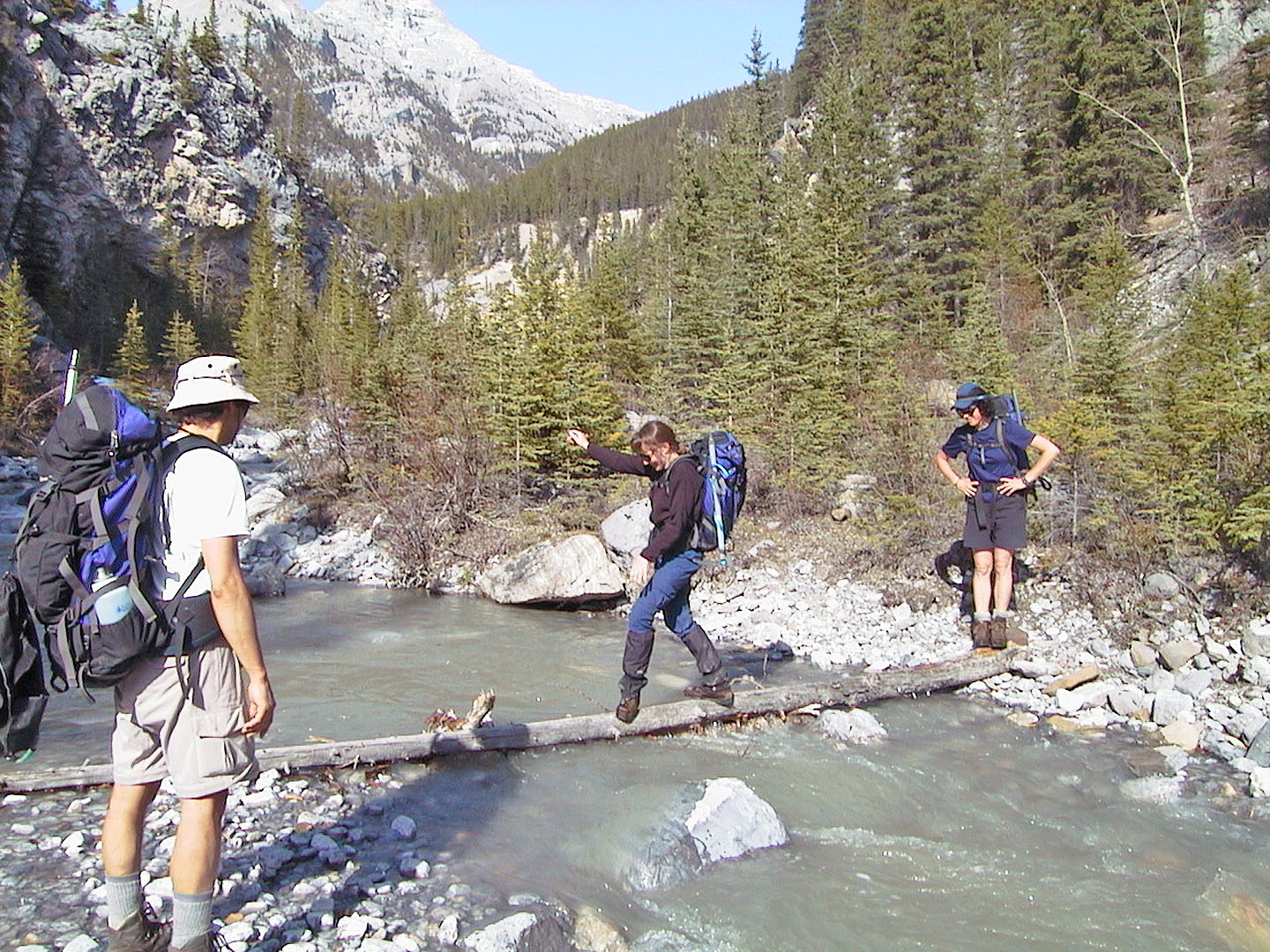
Dinah carefully crosses a log on Cougar Creek
82 O/3 Canmore