bobspirko.ca | Home | Canada Trips | US Trips | Hiking | Snowshoeing | MAP | About
Pilot Mountain
Banff National Park, Alberta
August 19, 2006
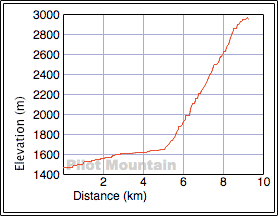
Distance: 17.5 km (10.9 mi)
Cumulative Elevation Gain: 1770 m (5807 ft)
I was so impressed with the second drainage after my 2001 Pilot Mountain attempt, that I returned to use it instead of Kane's route up the first drainage. As we discovered, the second drainage is more attractive: it covers more ground by bike and less on foot, and it avoids the long slog across the scree slope. It also throws in some great scenery.
After cycling up the trail and passing the first drainage, I continued until I reached the second drainage. The second drainage can be seen from the trail, although it's partially obscured by trees. There was no obvious trail, so I rode up another 100 metres where I noticed a cairn. There appeared to be a trail so after stashing my bike, I started up.
The trail disappeared after 100 metres, so I angled left until I reached the edge of the drainage. I found an animal trail that started here and followed the right side of the drainage. As I hiked up the trail, the edge of the drainage became more pronounced as it topped a steep slope on my left. Occasionally I lost the trail, but I always quickly found it by seeking the edge of the drainage. Despite being intermittent, this was a great trail. It rose steeply but always followed the drainage. After it crossed a rockslide, however, the trail became sketchy, so I pieced one together using pink flagging.
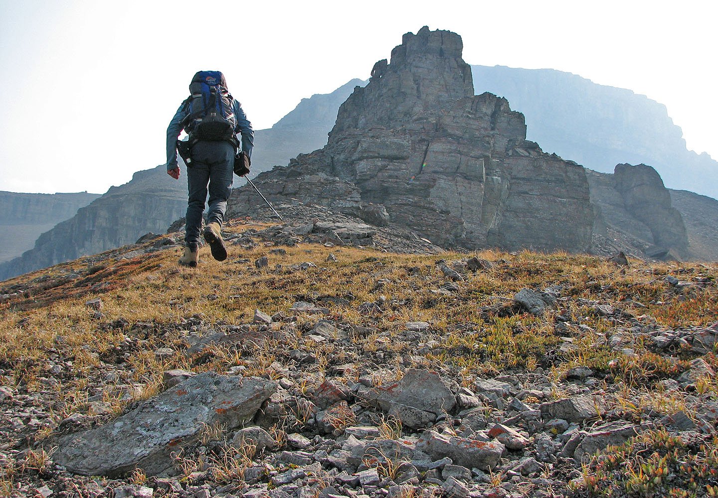
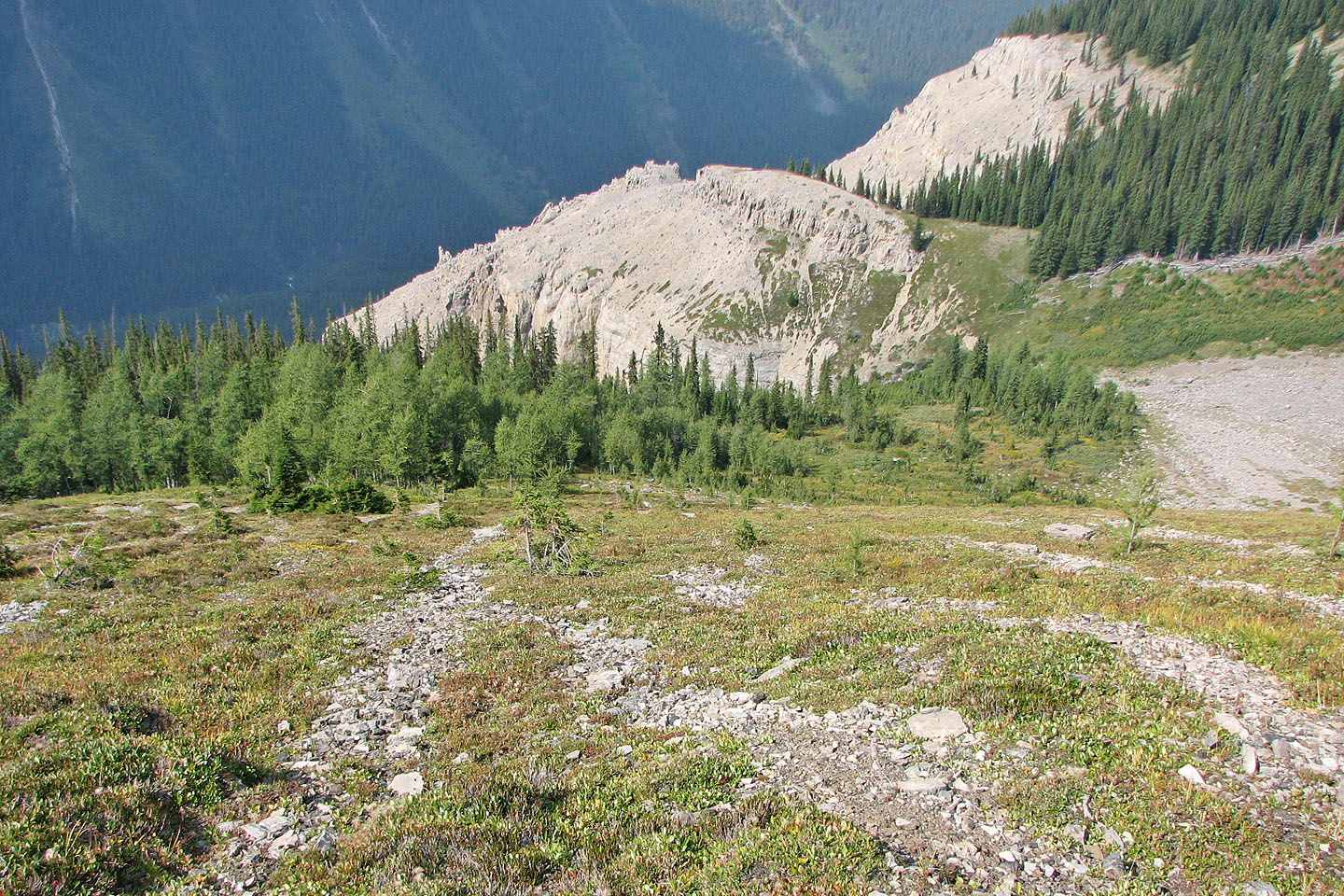
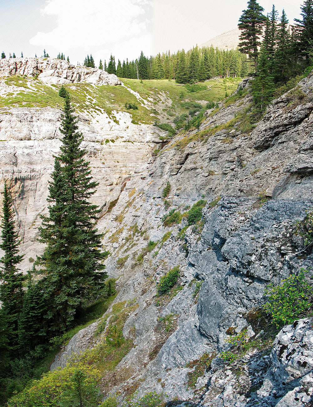
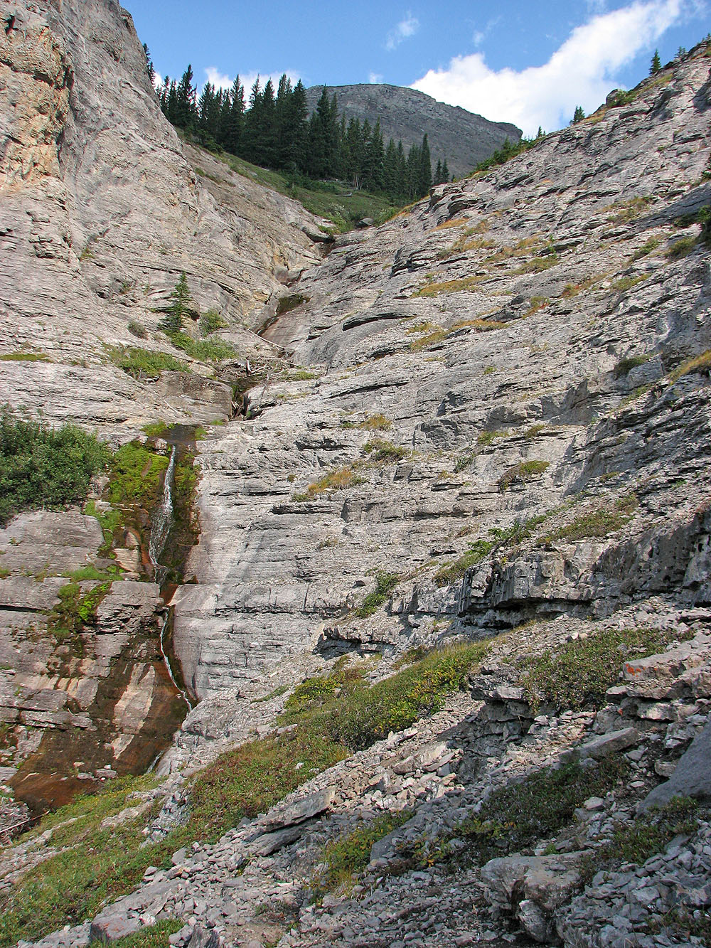
I soon crossed a steep, narrow rock gully and continued a short way before breaking out of the trees. Ahead was an enormous rock wall that spanned the drainage except for a treed break on the right that I could bushwhack through.
Beyond that, I bushwhacked a short way to reach steep rock ledges lining a stream. I climbed to a low ledge, crossed the stream, and scrambled up the left side close to the stream. The left side proved to be more difficult and exposed than I expected. Only when I was partway up where I could easily study the ledges on the other side, did I realize I should have ascended the ledges on the right.
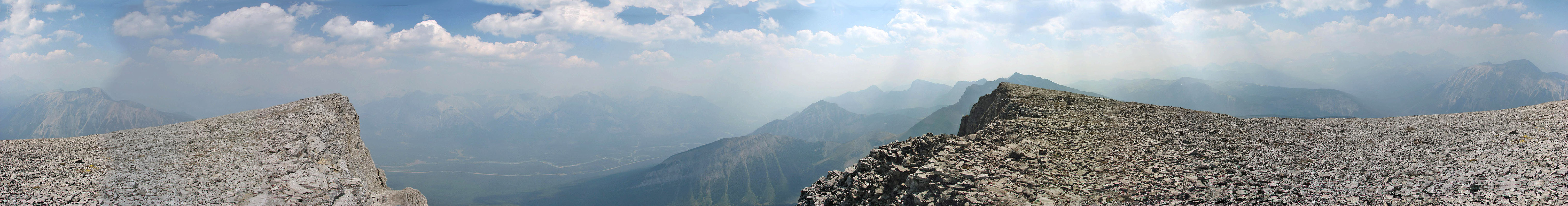
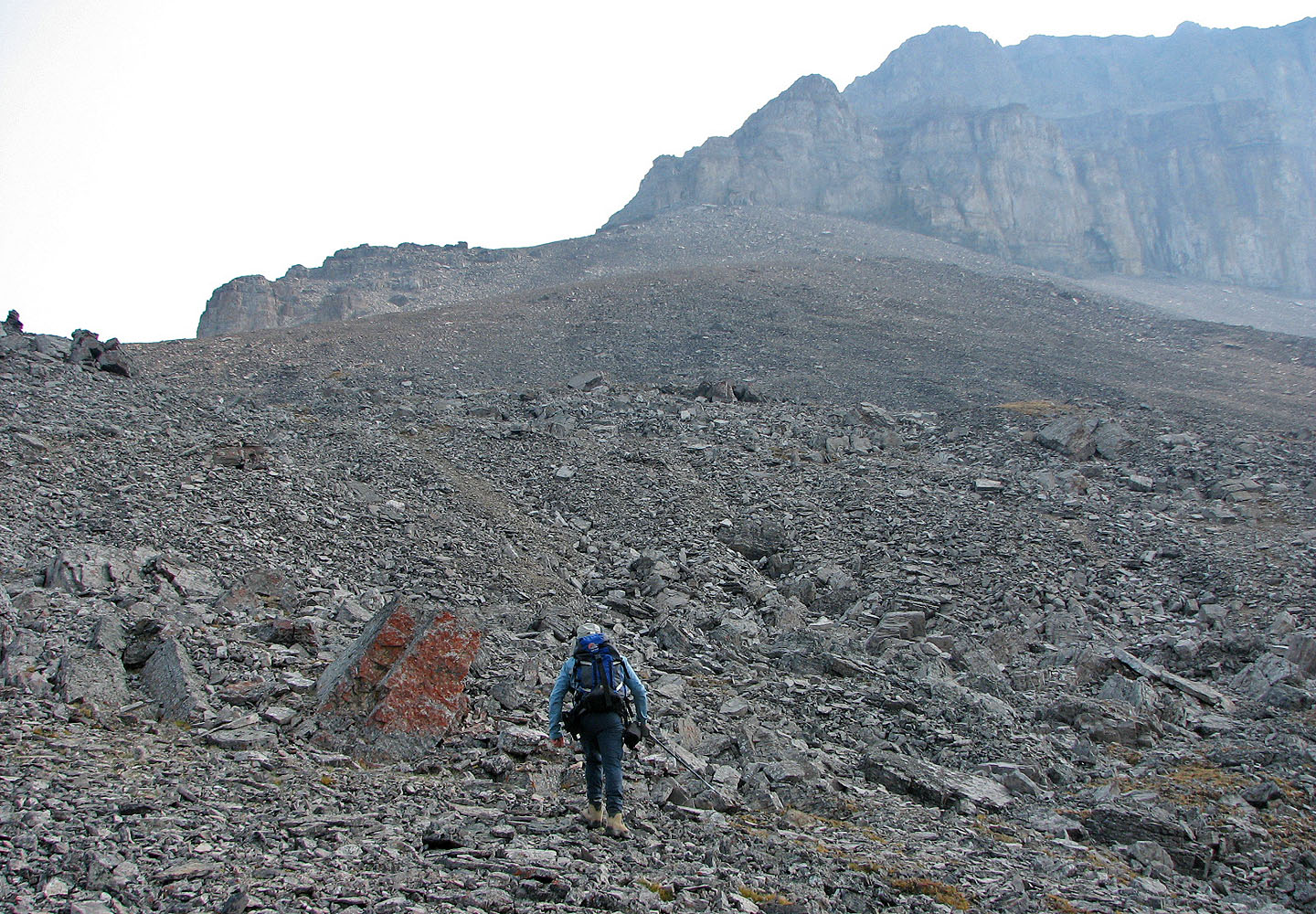
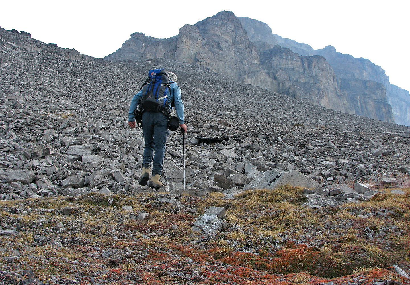
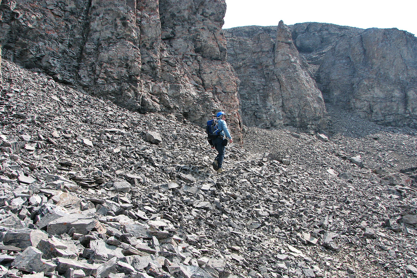
Above the ledges, the view opened up. Ahead was the rock band that Kane suggests scrambling up. After reaching the end of the rock band, I circumvented a pinnacle on the right side and soon gained the broad slope that leads to the rock flake with the chimney. After that, trails and numerous cairns led me to the summit. Indeed, with so much human impact below the summit, the sense of solitude was lost to me. And all the hard work I put into the ascent did not pay off in summit views. A thick haze from a forest fire obscured all but the closest mountain, Copper Mountain.
I returned the same way except that I crossed the stream near the top of the ledges. Keep far left where it was less steep, I scrambled down the ledges. The flagging I had set up led me back to the animal trail, and I was soon back at my bike.
I was looking forward to a fast ride down, but twice I had to stop for grouse on the trail. The first time, I encountered three chicks on the path while the mother remained hidden on the side. A few minutes later, I encountered five immature grouse near the trail. Watching these birds was a delightful way to finish my trip.
Postscript: This route route is included in the third edition of Scrambles in the Canadian Rockies.
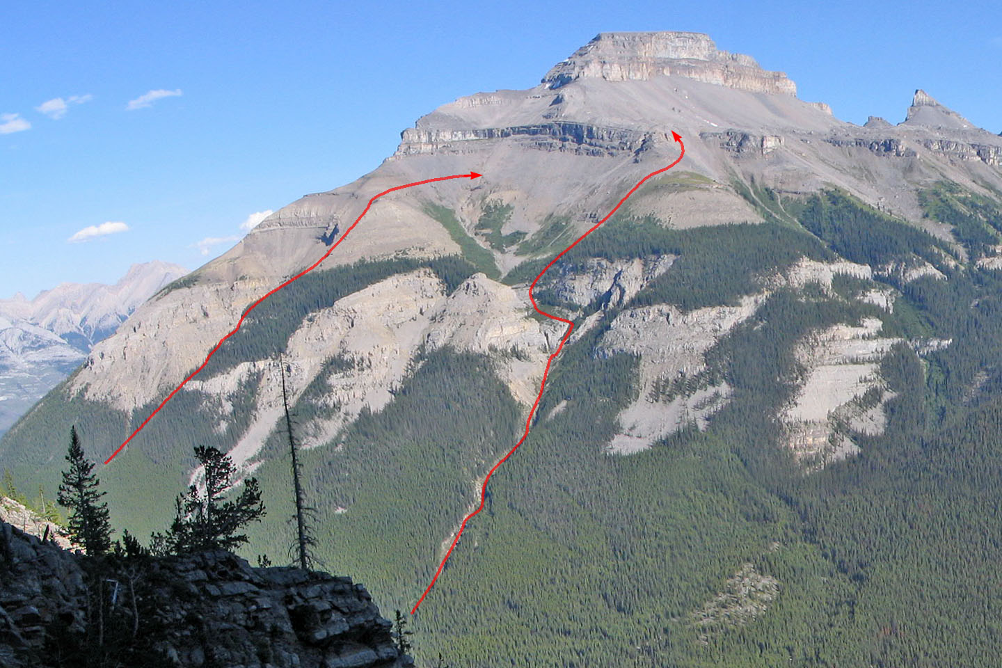
Kane's route (L) and my route (R)
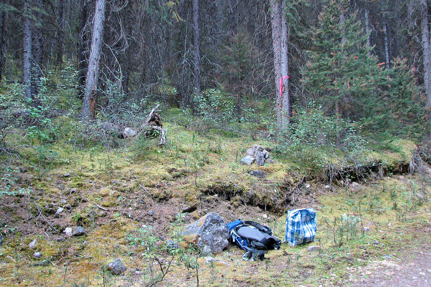
Here's where I left the main trail
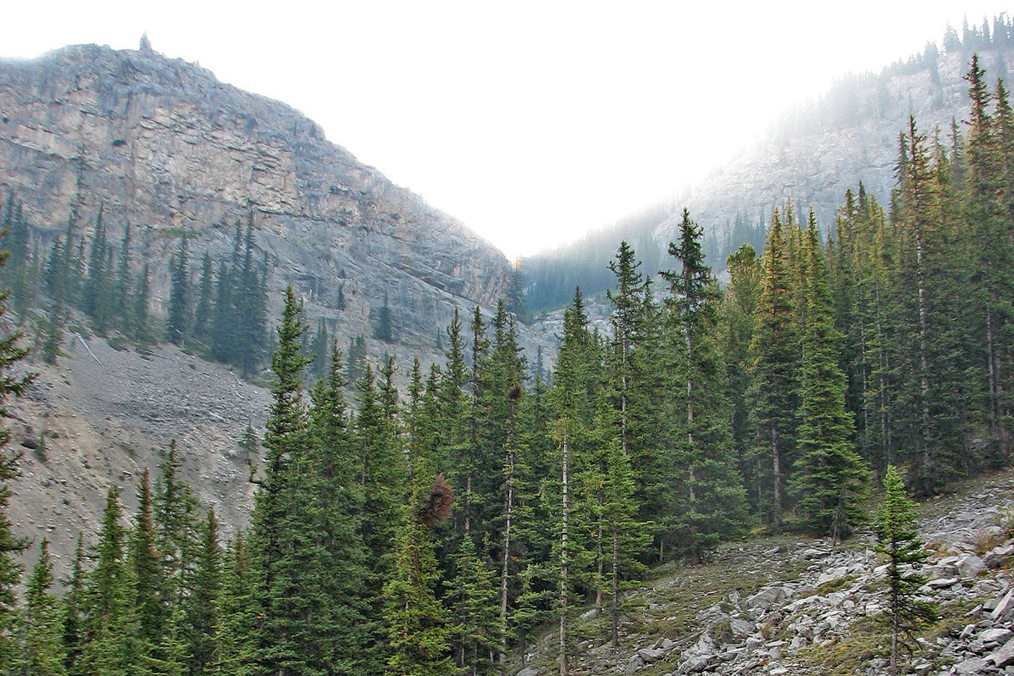
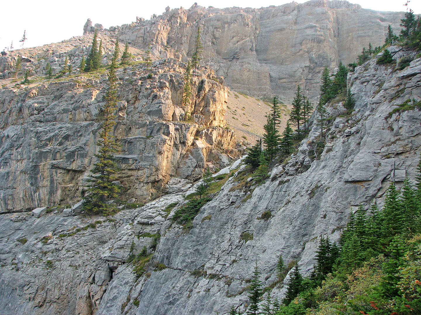
From an open slope, I got a glimpse of the rock wall (centre) above the trees
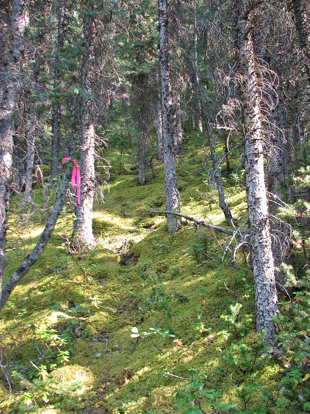
Cool hiking on the moss floor
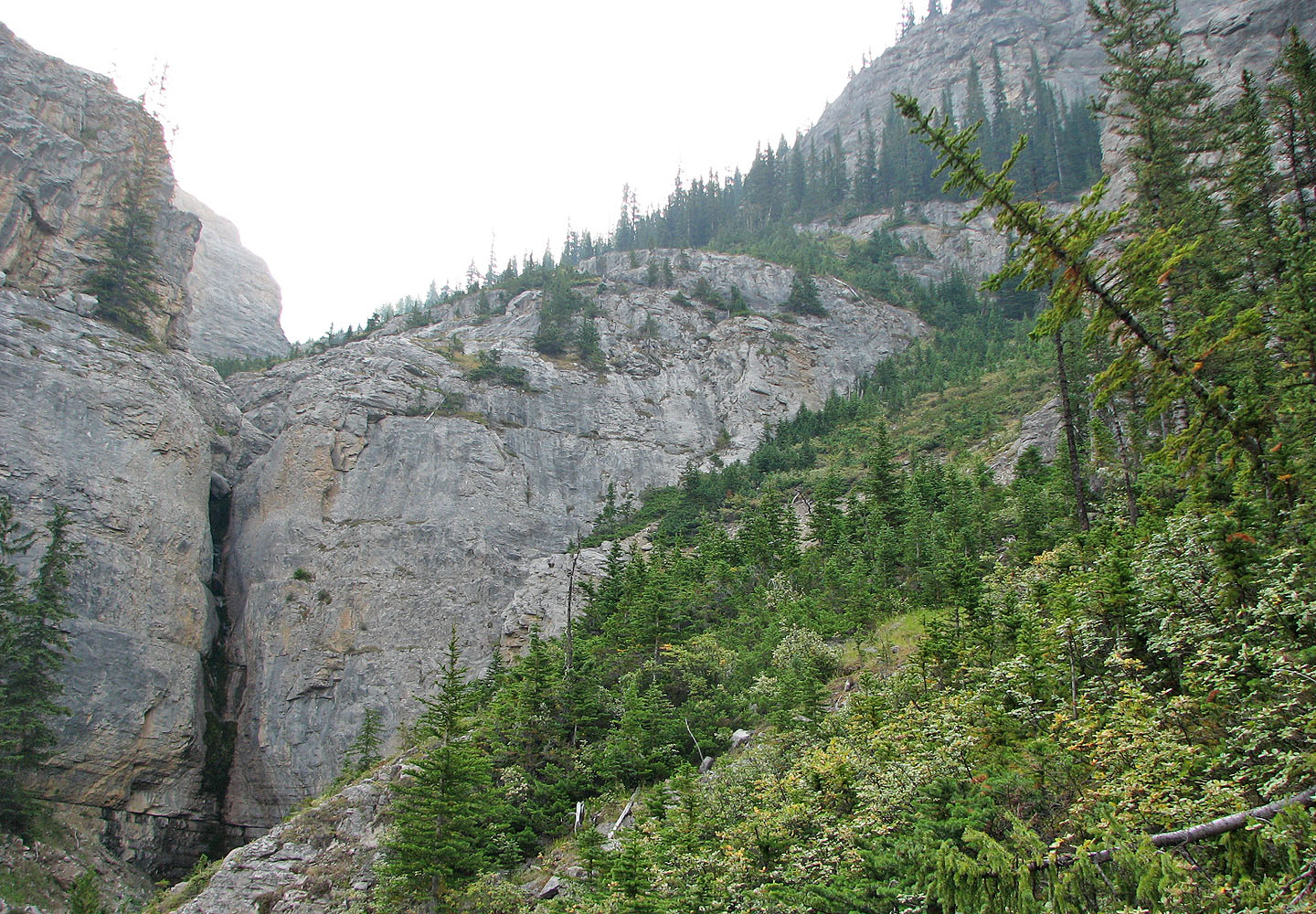
A waterfall cuts into the rock wall. Note the treed break, upper right.
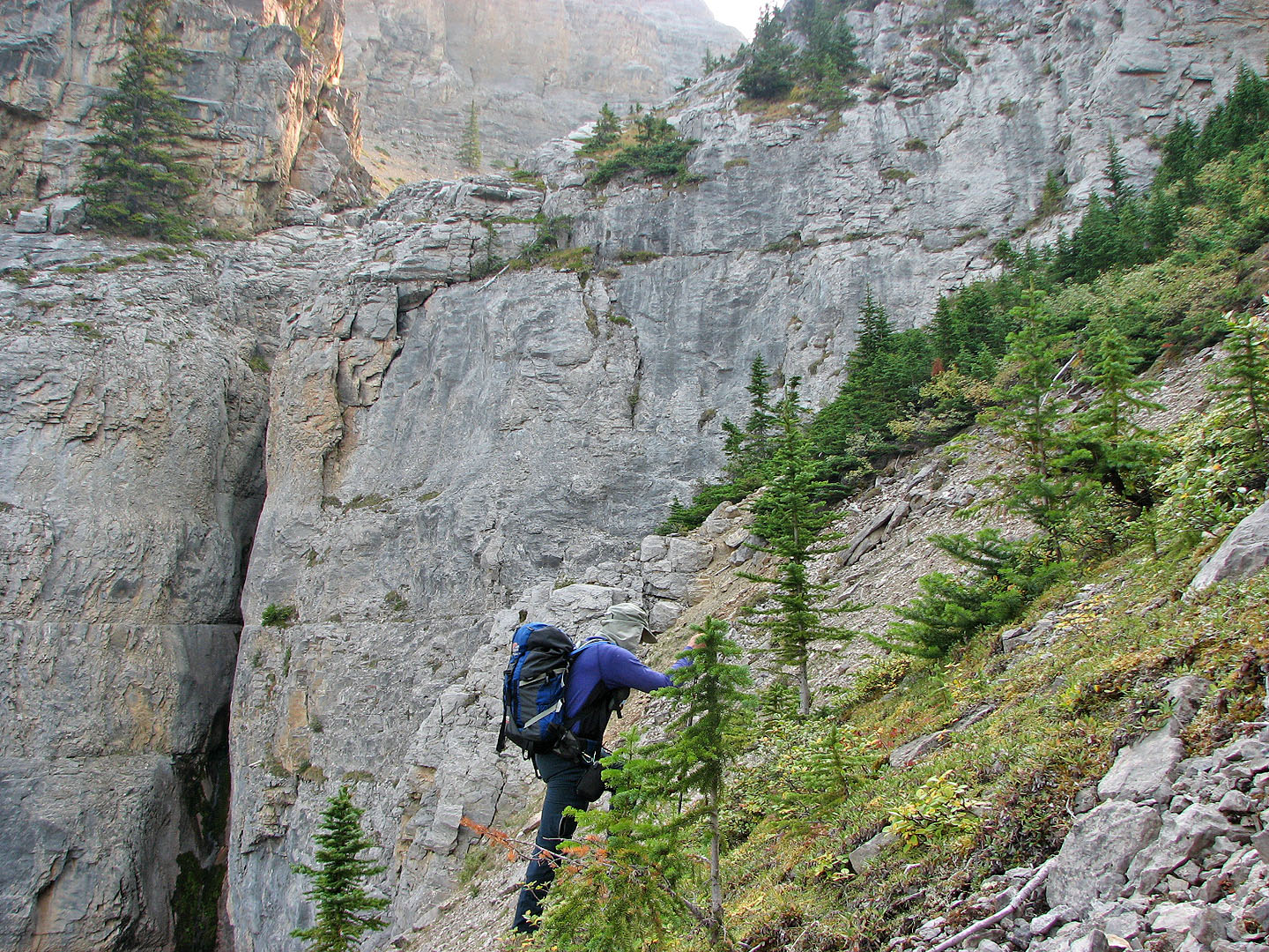
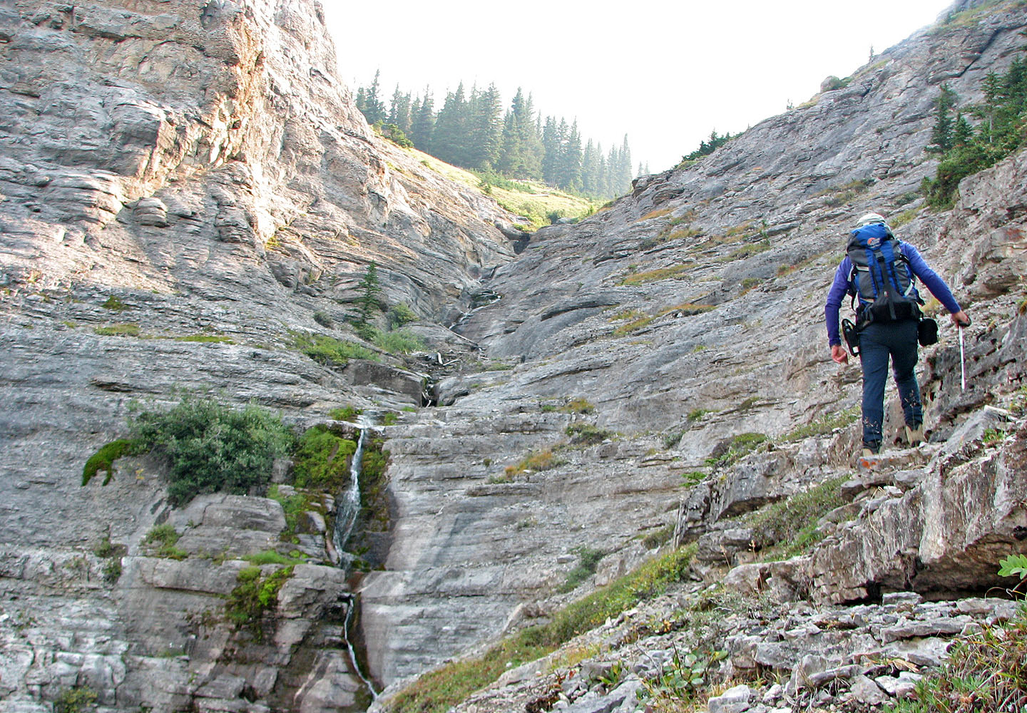
Heading to the break
Sunlight hits the rock above me
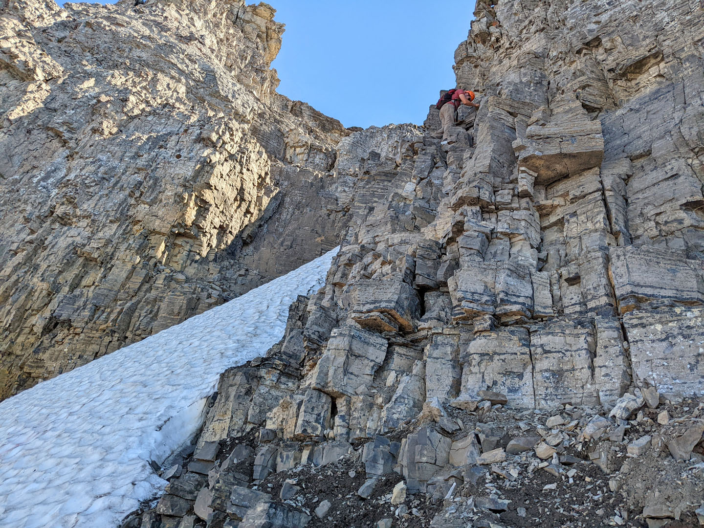
Climb the ledges on the right side
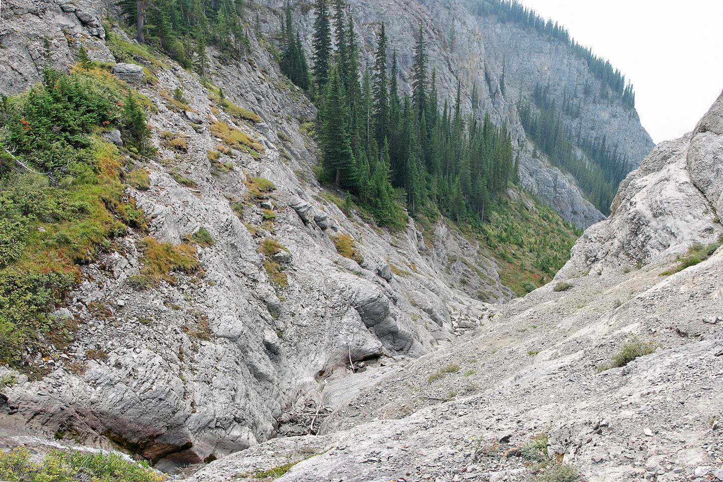
Looking down at the ledges
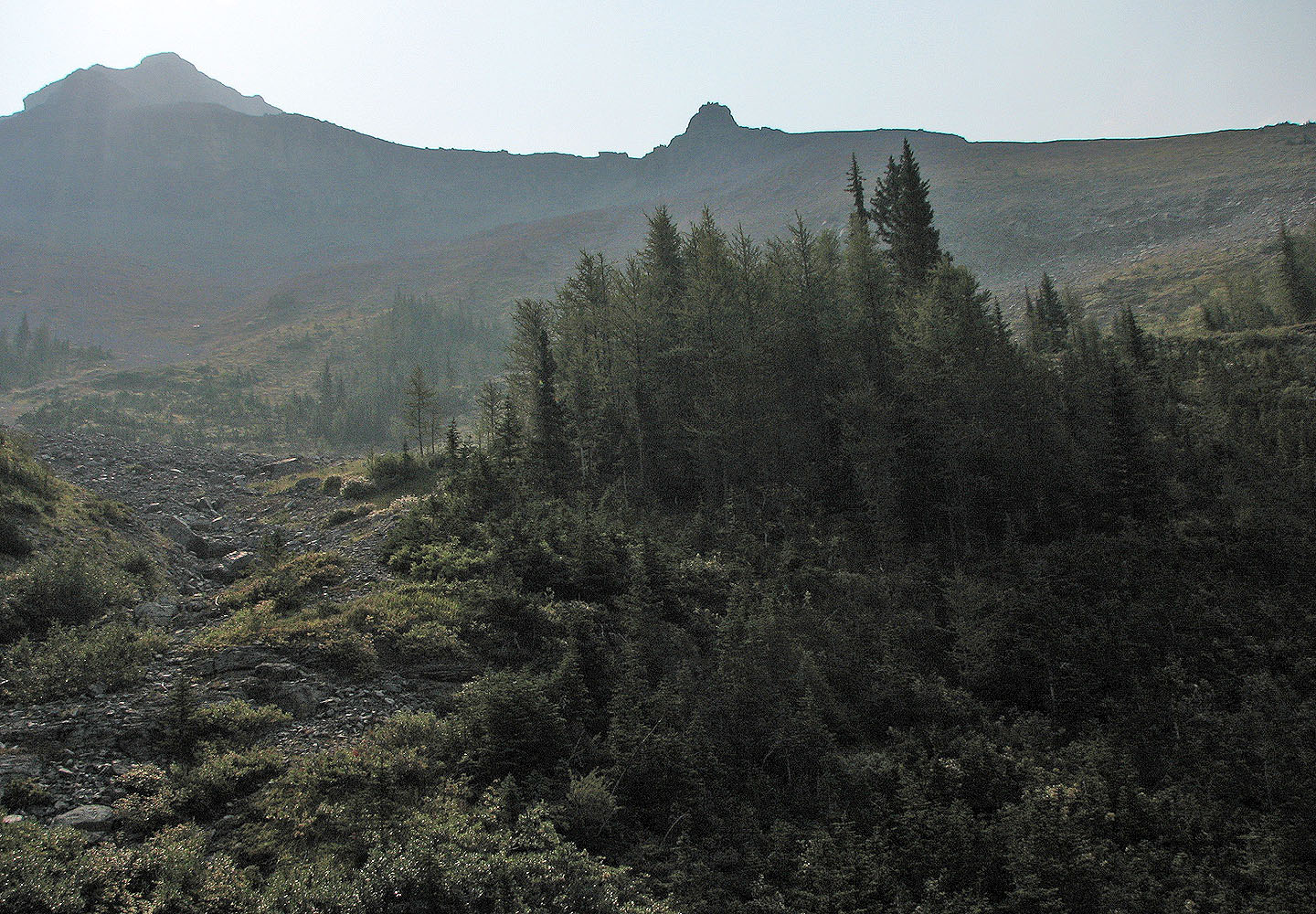
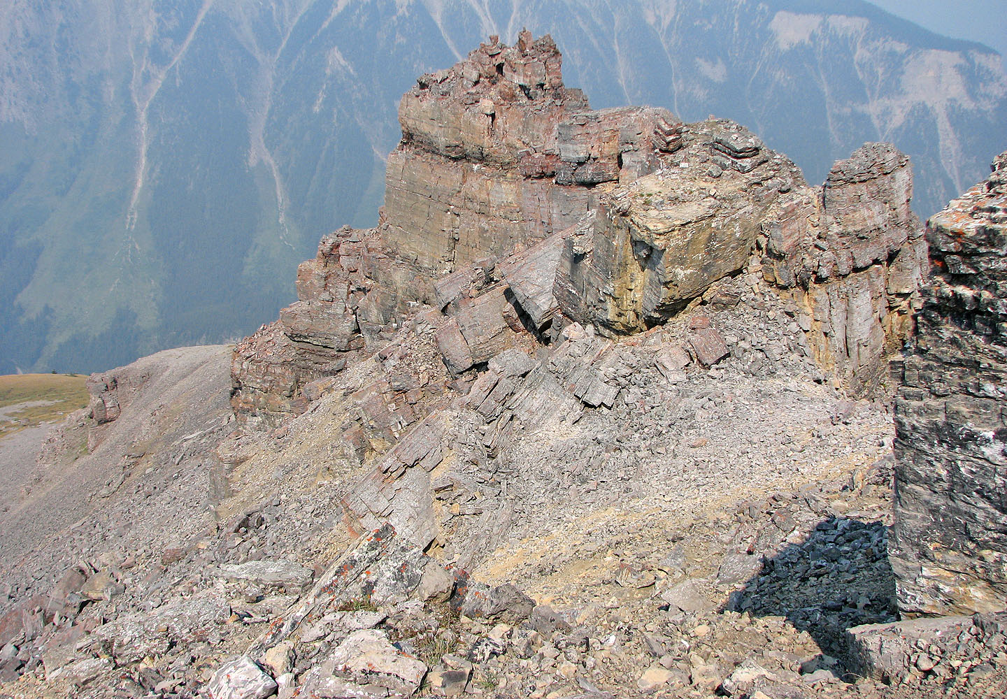
After the ledges, the rock band appeared. The pinnacle near the centre of the
photo marks the end of the rock band.
I went right to get around the pinnacle
Looking back after passing the pinnacle
Next stop, the rock flake
The rock flake is above me
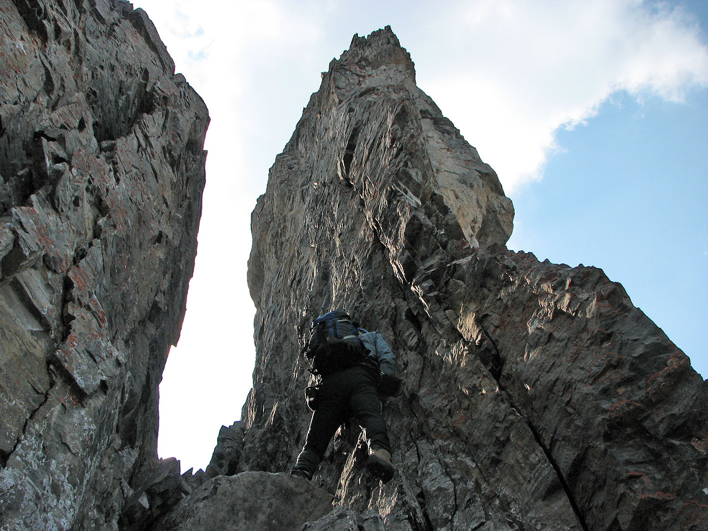
The easy scramble up the chimney next to a rock flake is now gone. See next photo.
The
flake has since collapsed. When asked Alan Kane about it, he said, "A gully 25 m left of the flake is the only option now...steep, loose and unpleasant." Brad Nickel sent me a photo of the new ascent.
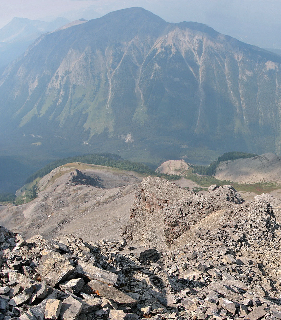
Looking down the ascent route. The second drainage is left of the beige bump near the centre.
Copper Mountain in the background.
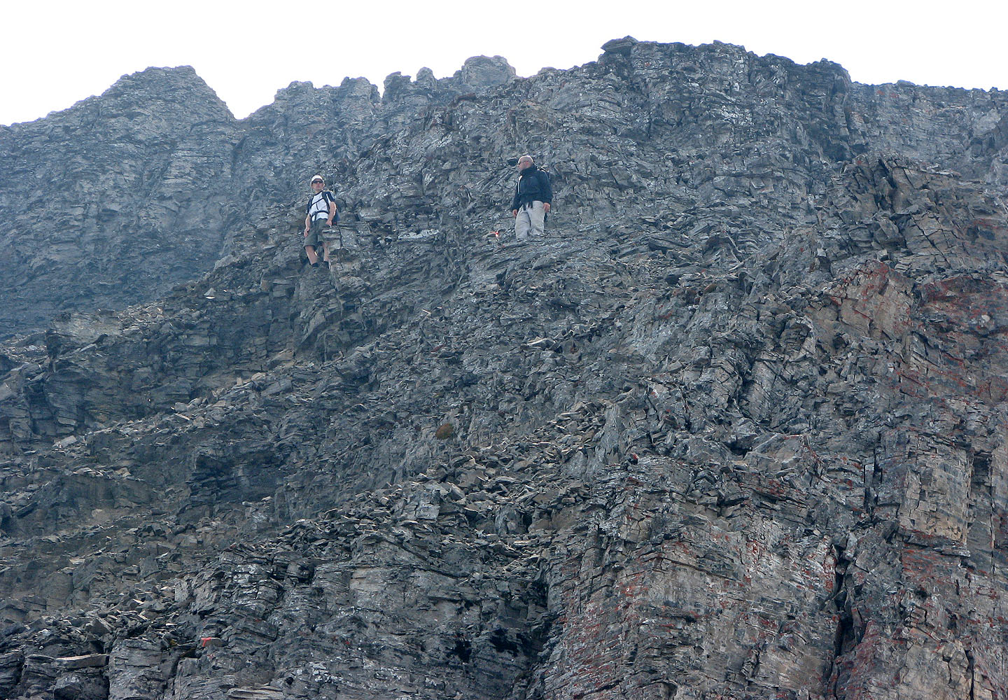
Two Canmore scramblers coming down from the summit
Below the summit I followed a trail that went around the pointed rock and up a gully
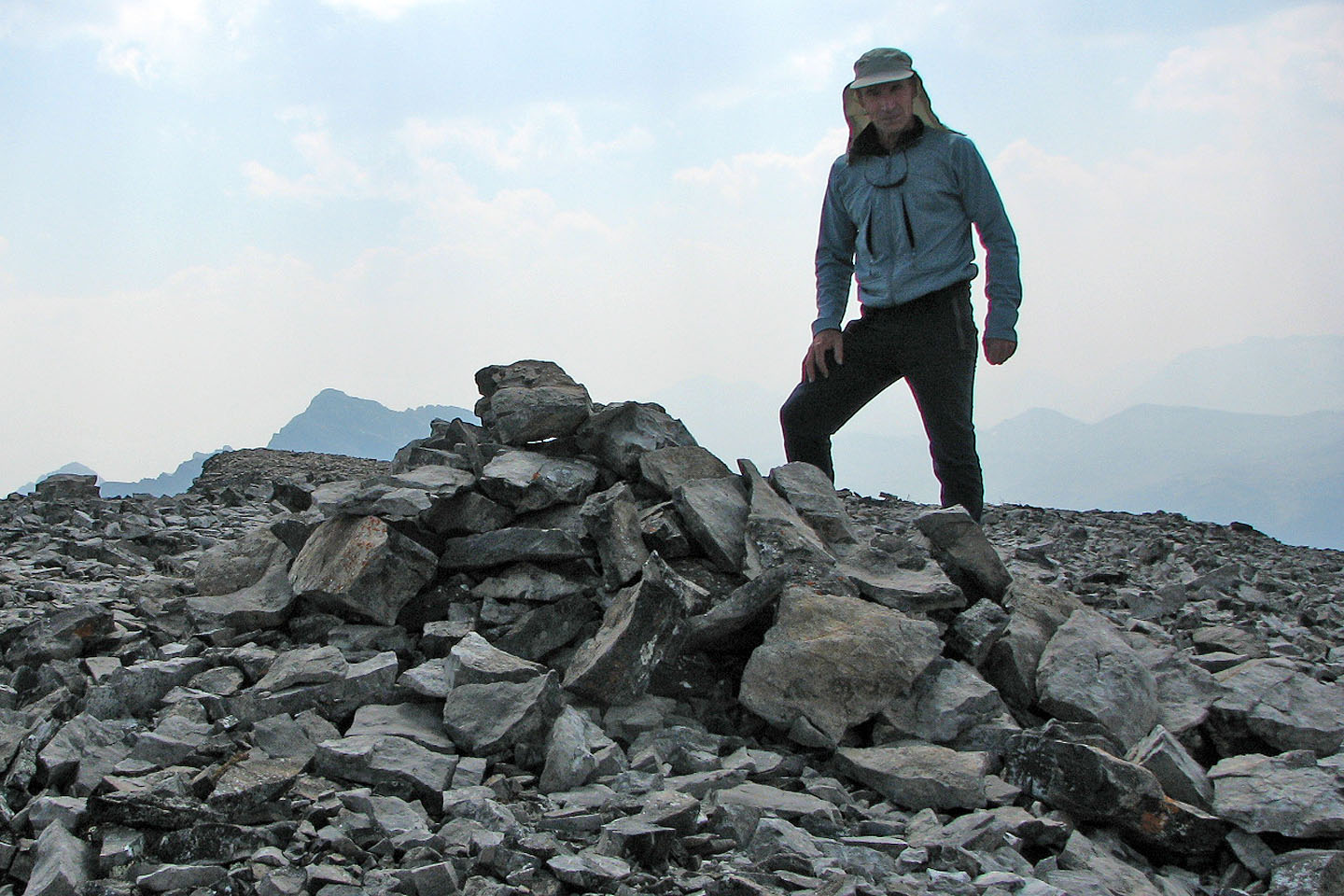
The summit
View ahead as I headed to down the ledges
View of the ledges on my descent
View from the bottom of the ledges
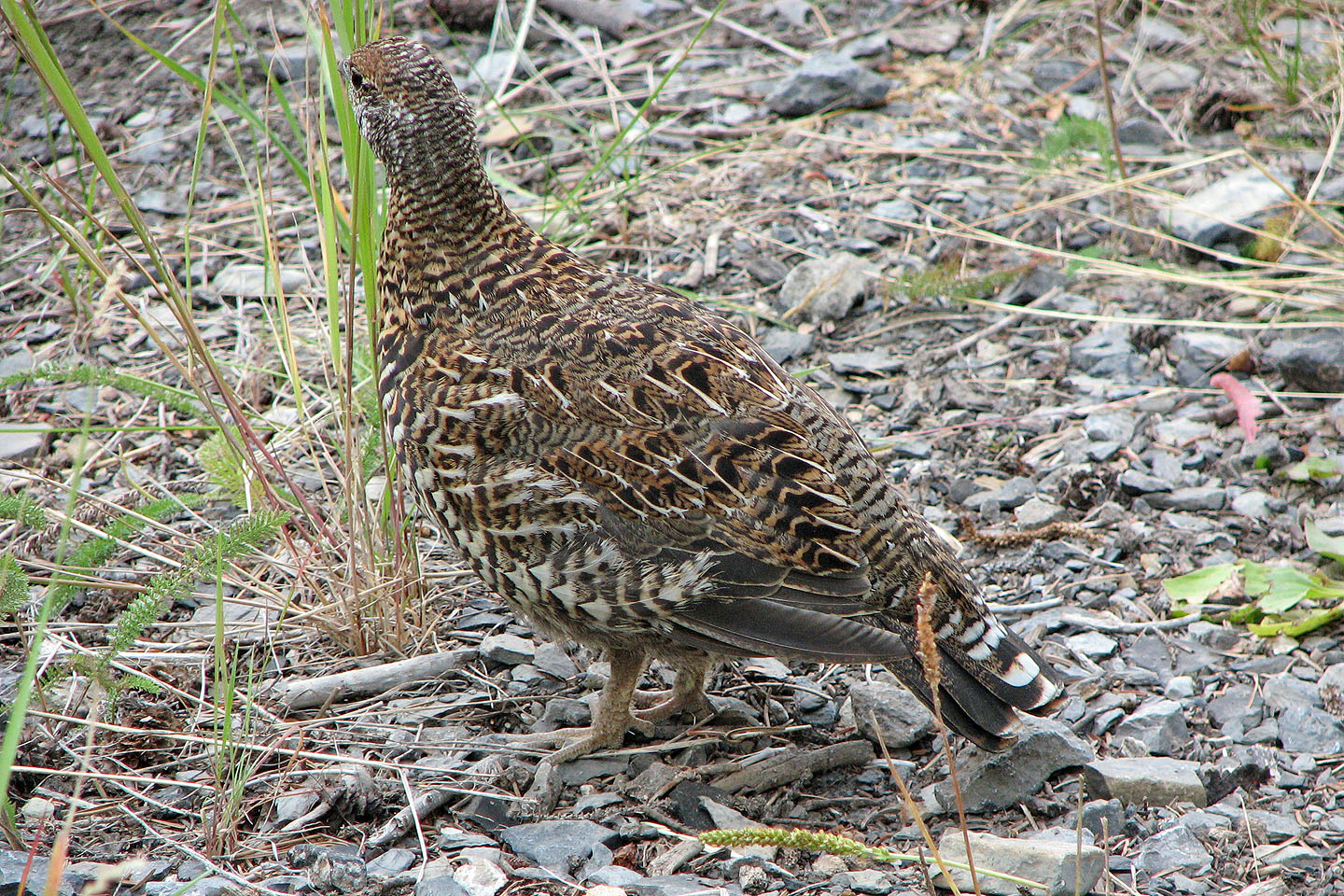 Immature black grouse (mouse over to see the adult)
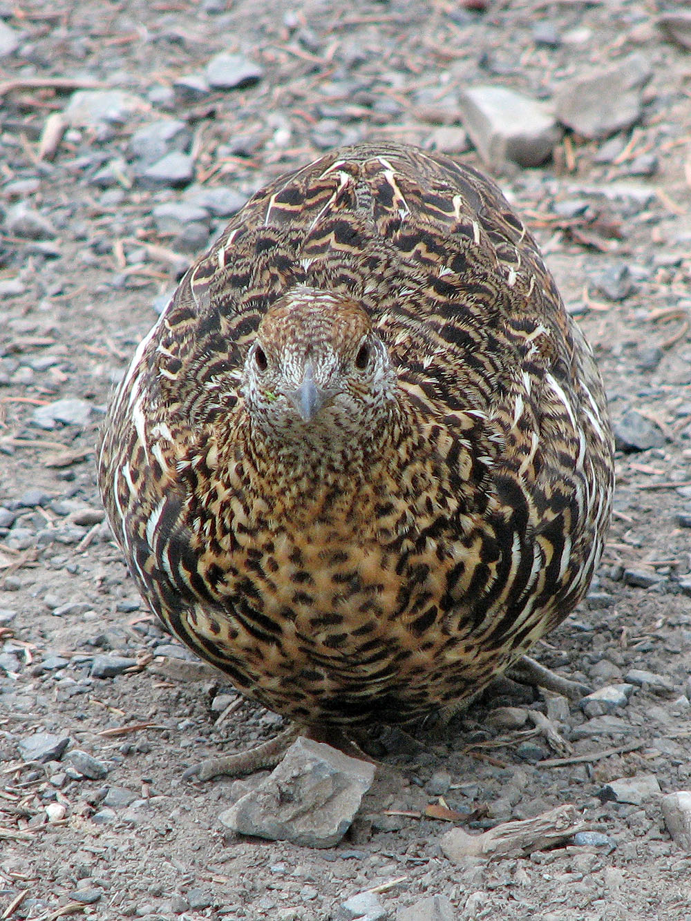
This guy looks serious!
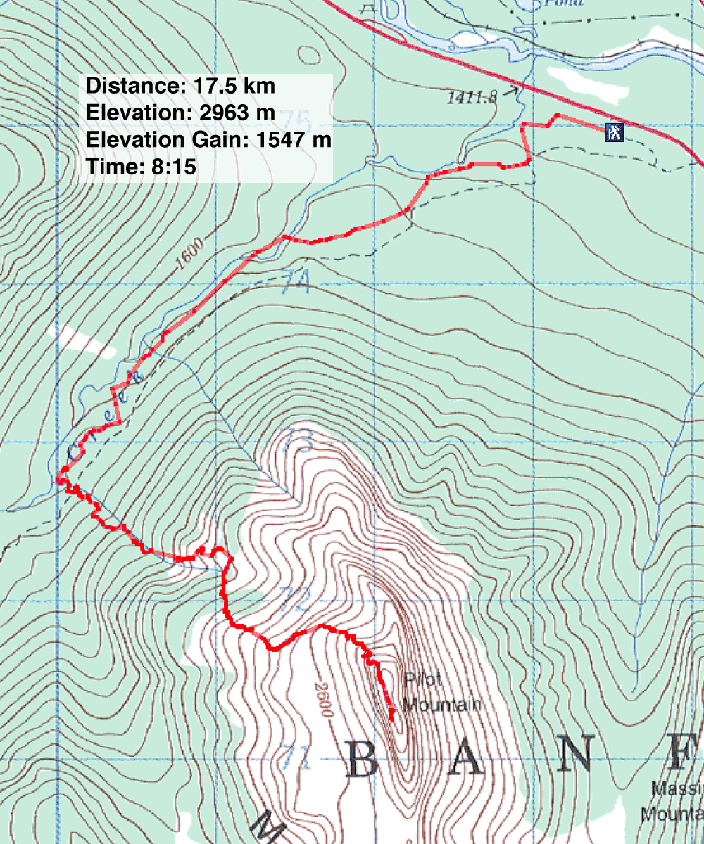
82 O/4 Banff