bobspirko.ca | Home | Canada Trips | US Trips | Hiking | Snowshoeing | MAP | About
Copper Mountain
Banff National Park, Alberta
August 12, 2004
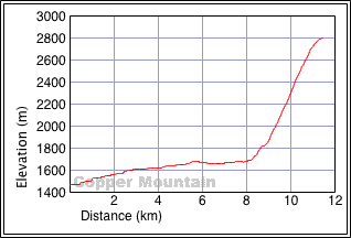
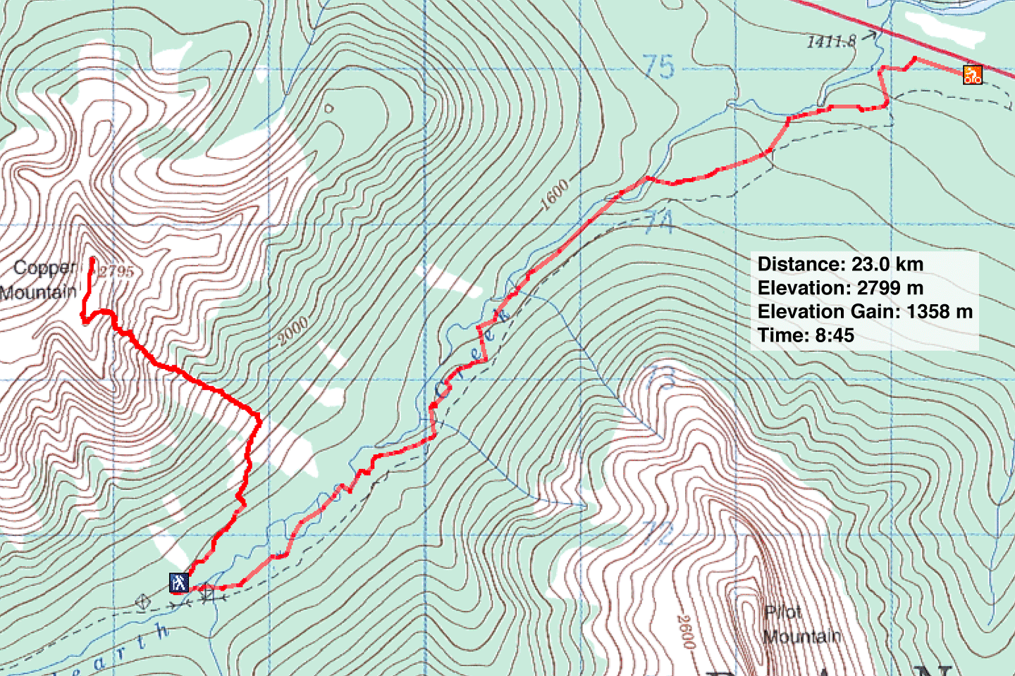
Distance: 23.0 km (14.3 mi)
Cumulative Elevation Gain: 1380 m (4528 ft)
Stuck in a gully, the relentlessly-steep ascent up the east side of Copper Mountain sorely lacks views, but that's quickly forgotten once you achieve the summit where you are met with far-ranging views.
Our trip began with a 7.2 km bike ride up Redearth fire road to Lost Horse campsite. From there, Dinah and I headed northeast to open slopes where we looked for a pinnacle, the landmark that Kane describes. We never spotted it, but somehow we ended up at the bottom of what appeared to be the correct avalanche slope. From there ascended open slopes that required little scrambling. We didn't come across any scree, nor did we run into any obstacles.
Other than starting up the huge avalanche slope that was suggested, we had little idea where we were going. At one point, we found ourselves ascending a gully that didn't feel right, and we switched to another. Much of the slope was a maze of gullies and low ridges. There were no landmarks, and being in gullies, it was difficult to discern what lay ahead. But we just kept climbing, and it worked out fine. We drew comfort at seeing the paw-print-shaped bottom of the avalanche slope, assuring us we must be above the right spot. We encountered no difficulties and reached the summit. After a short stay, we returned the same way.
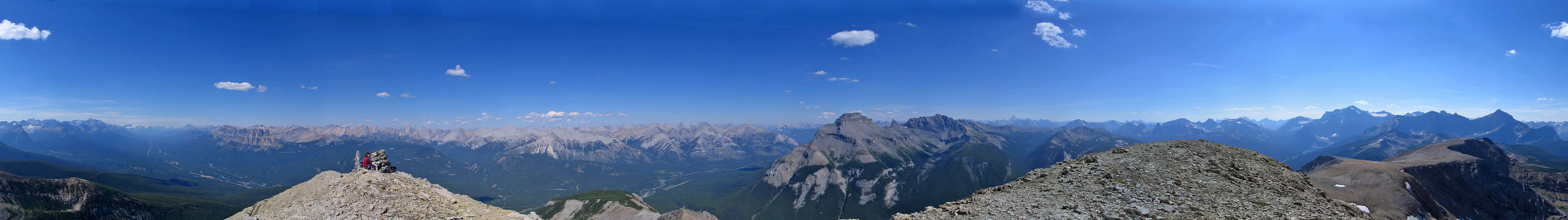
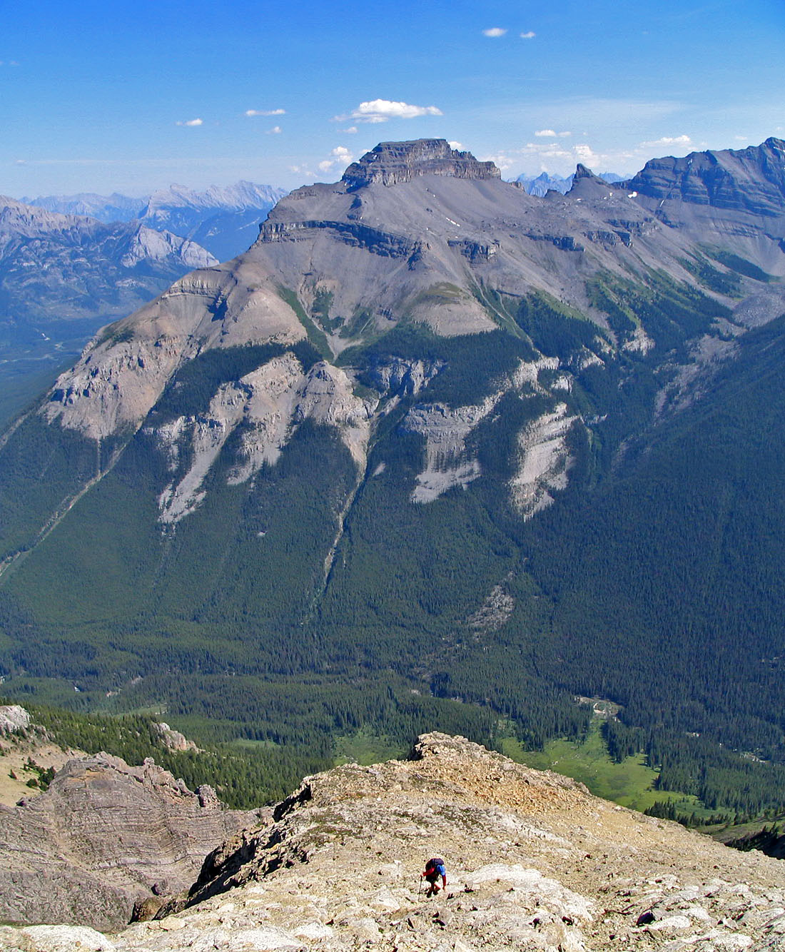
Copper Mountain see from Mount Brett (mouse over to see our approximate route)
We climbed the gully left of the strip of trees on the far right
Looking back is the obvious bottom of the avalanche slope
Above these rocks is another meadow (see photo below)
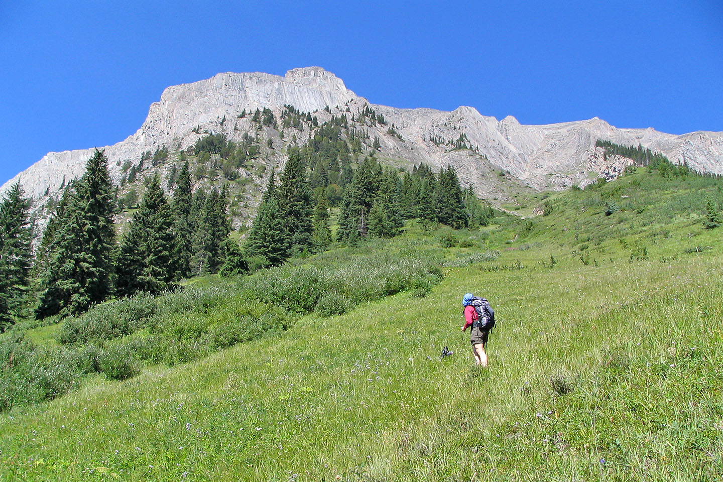
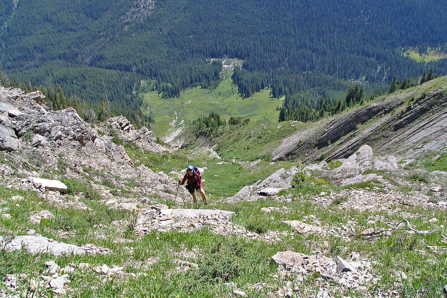
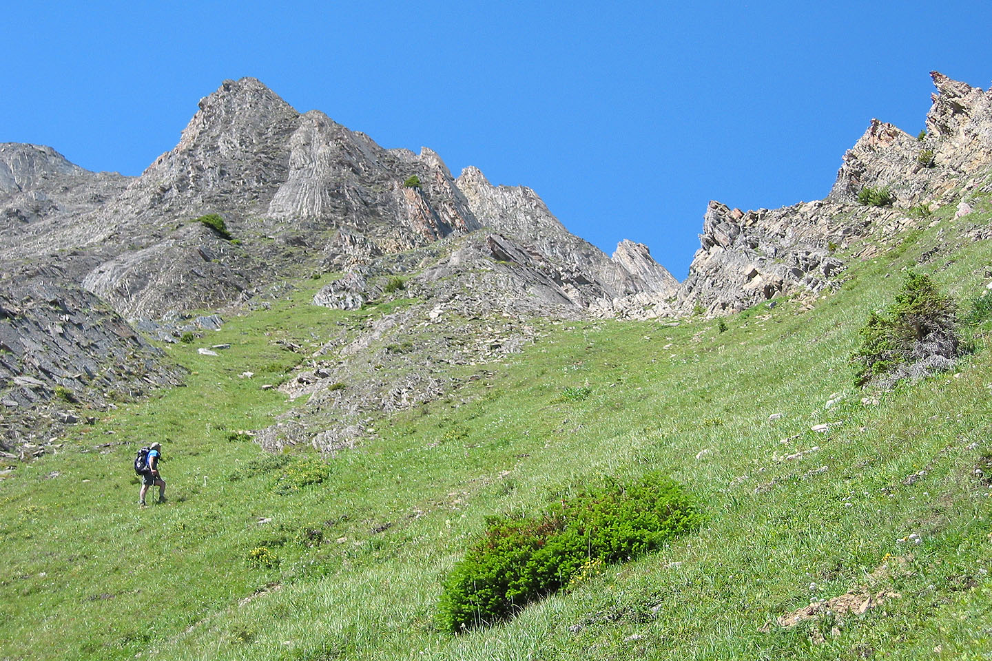
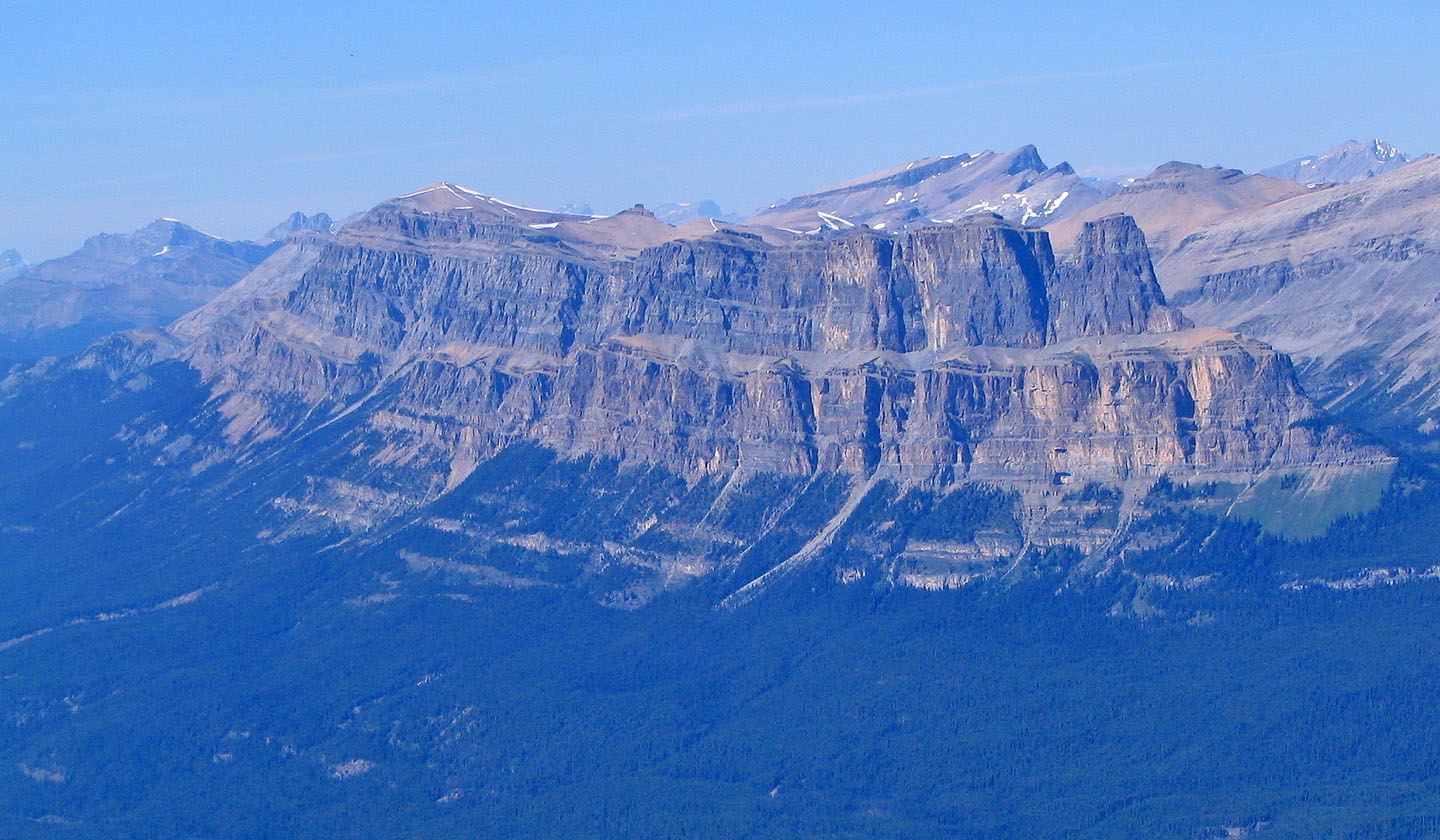
The best scenery appears on the lower slopes
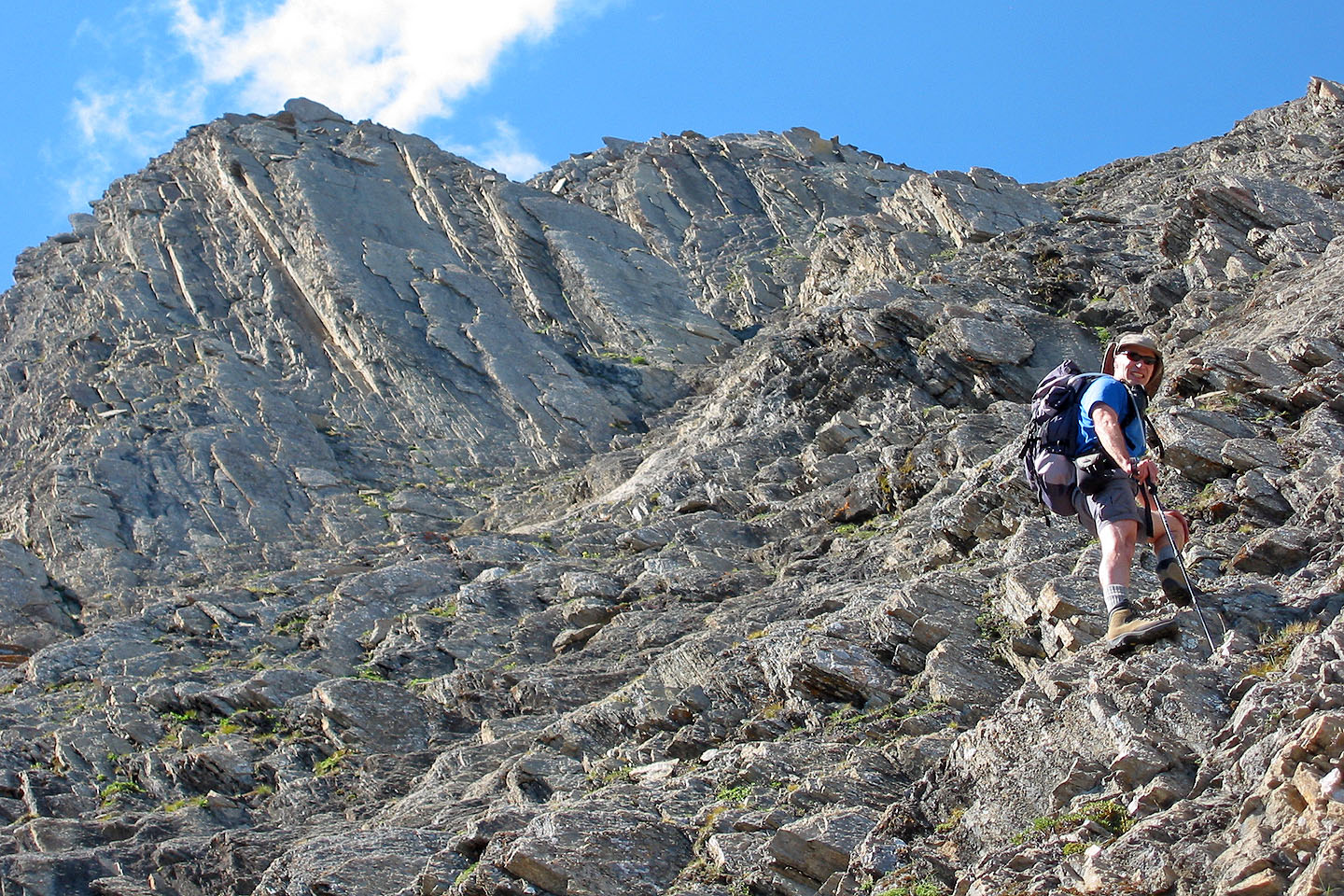
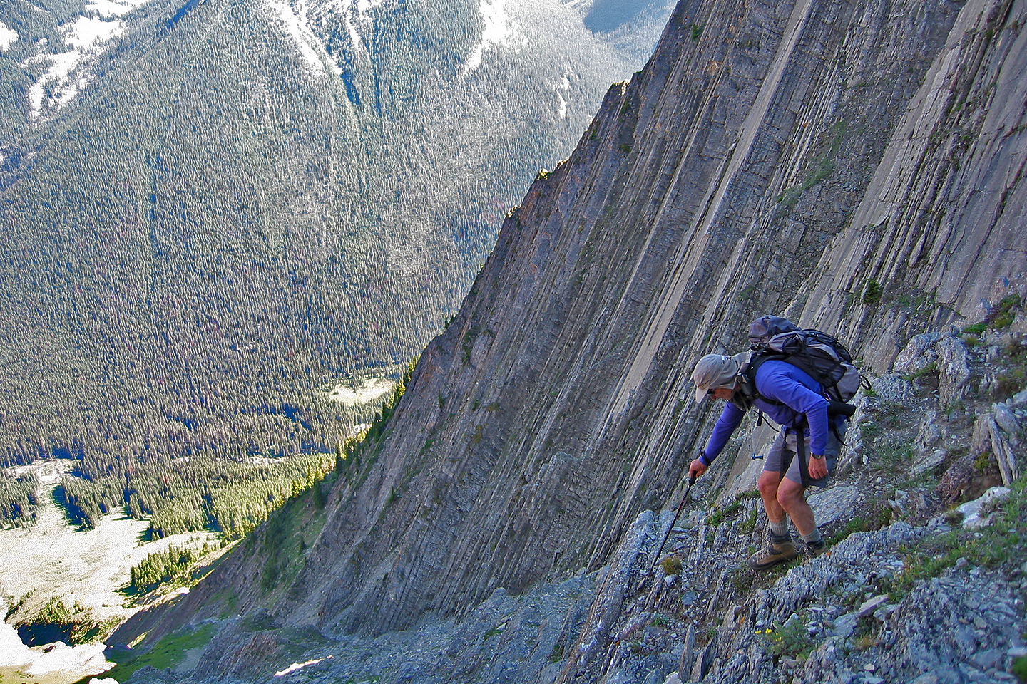
We're dwarfed by the striking cliffs on our left
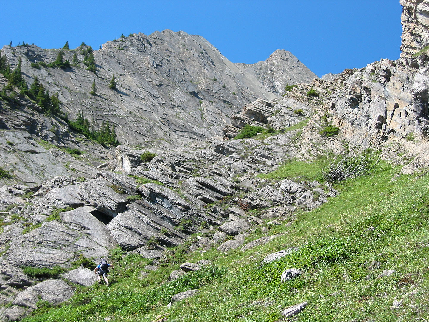
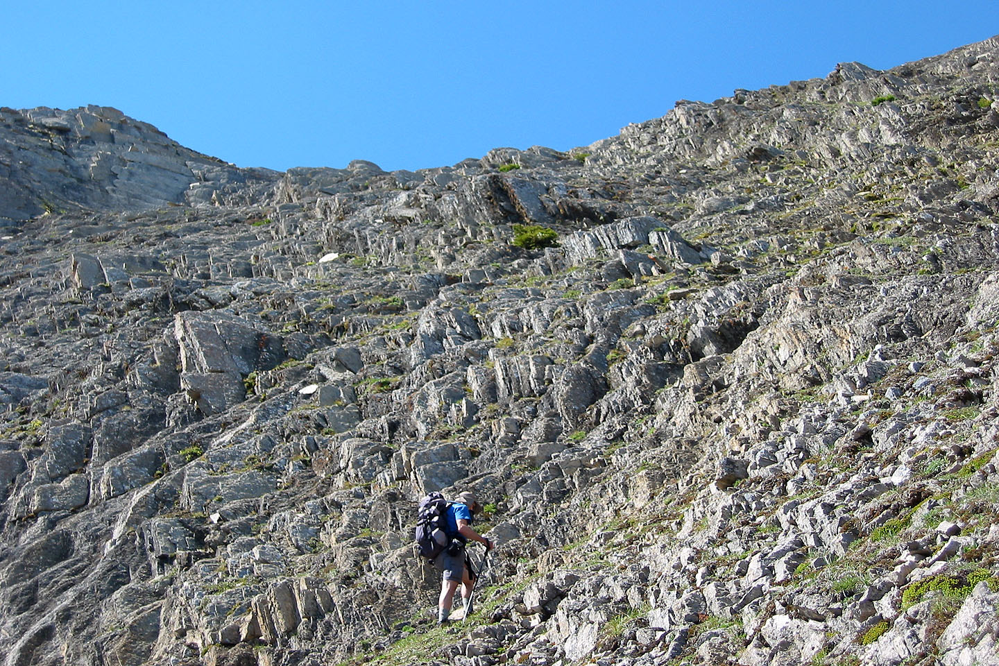
We continued hiking up the gully
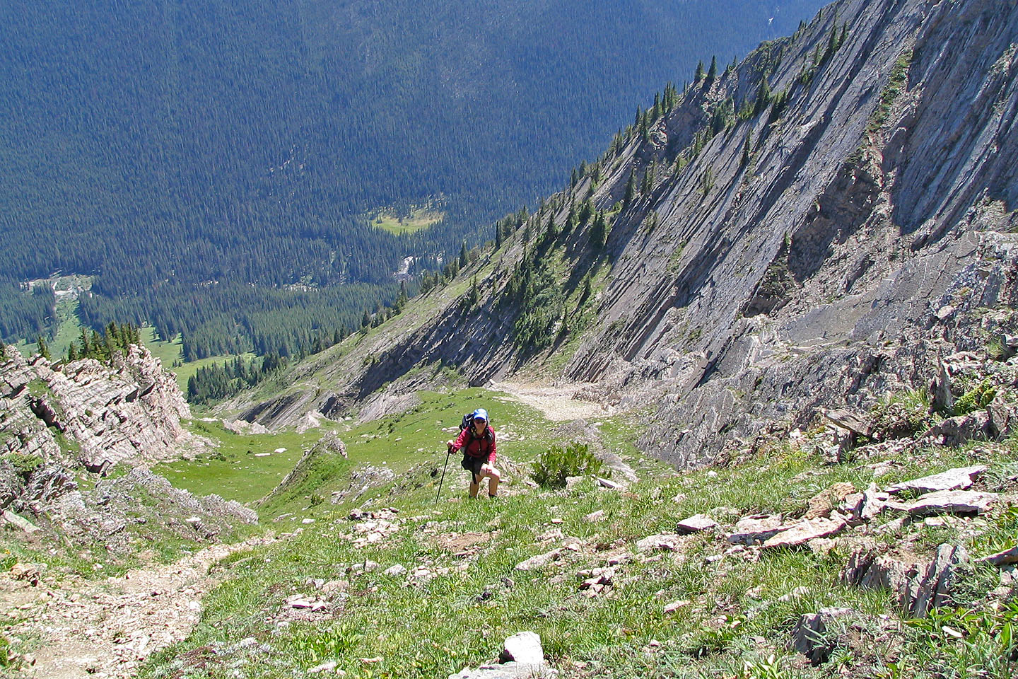
Looking back down our ascent gully
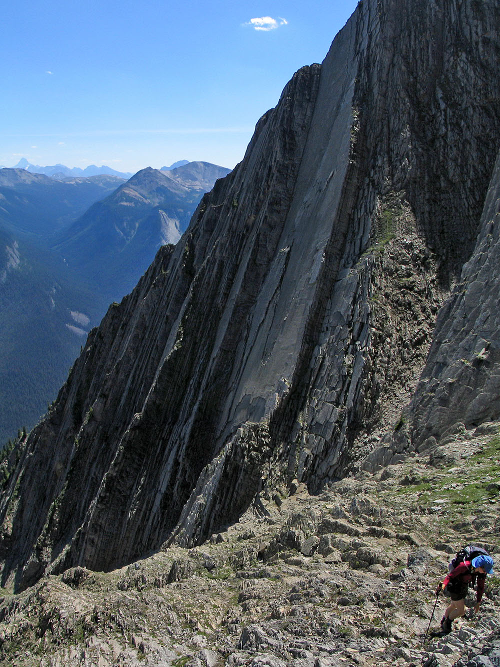
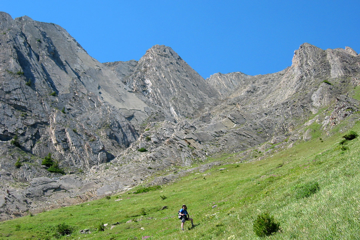
Huge vertical slabs on our left
The avalanche slope with its distinctive shape at the bottom.
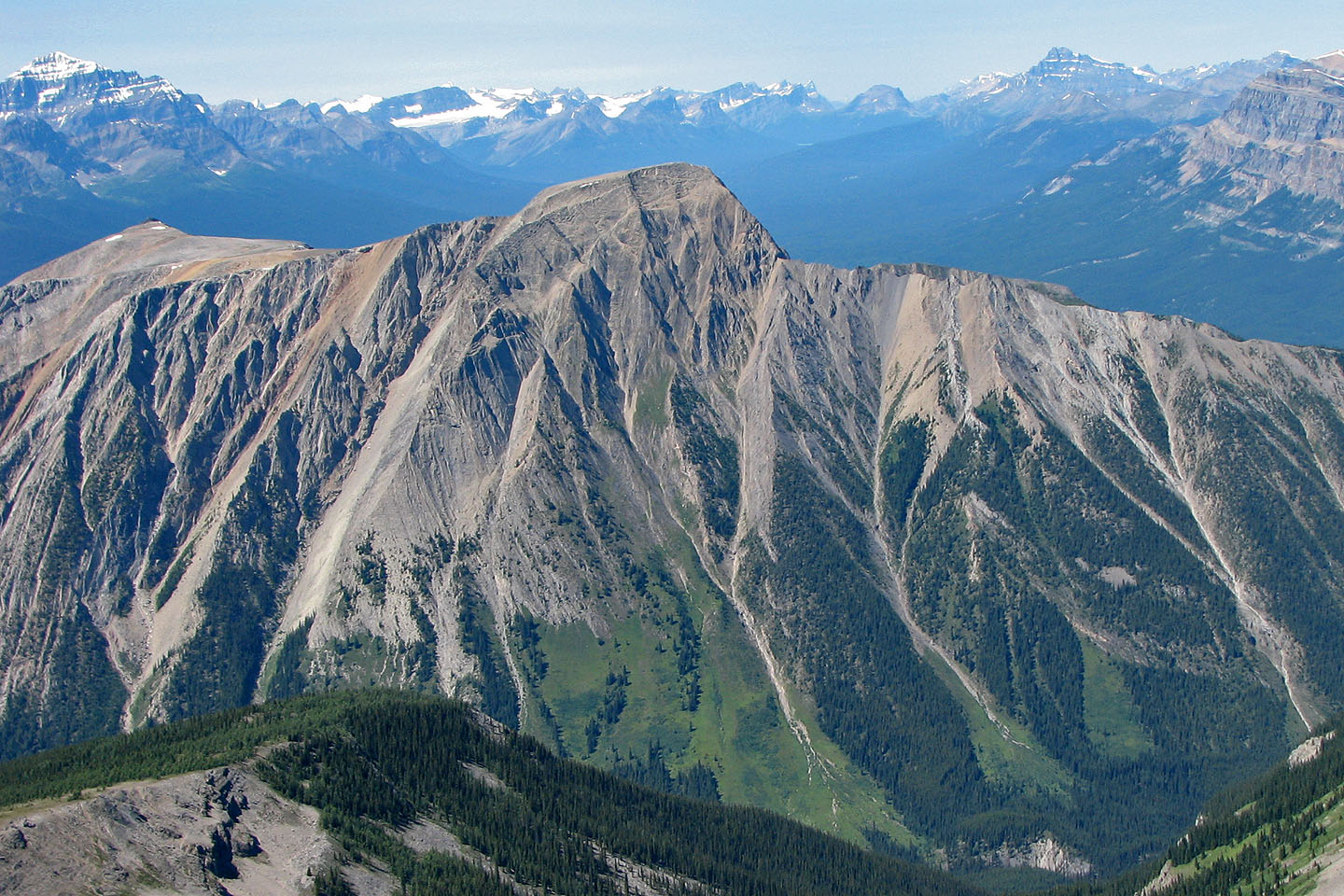
Pilot Mountain behind us.
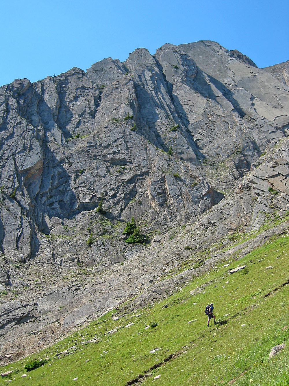
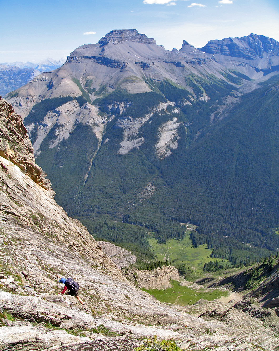
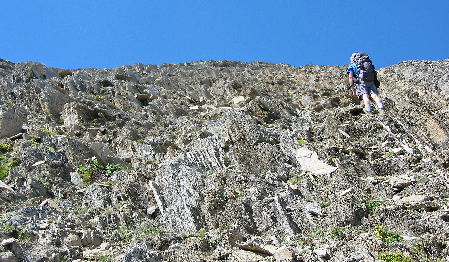
Higher up, we came to broad slopes
Finally the summit ridge appears in sight
 But the ridge crest is still far
away
But the ridge crest is still far
away
Almost on the ridgetop
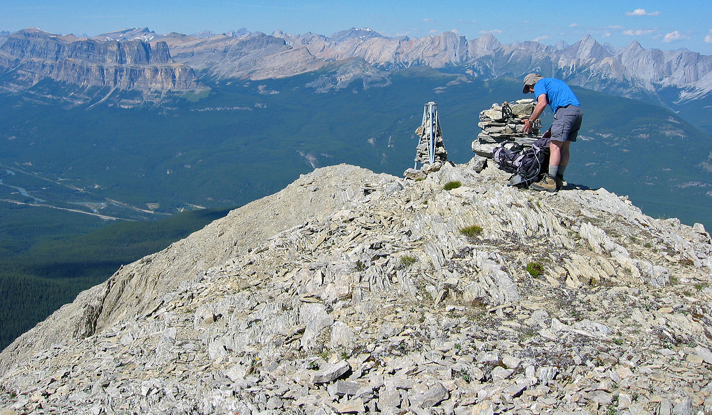
The summit cairn and a stand of sorts
Heading back down
82 O/4 Banff