bobspirko.ca | Home | Canada Trips | US Trips | Hiking | Snowshoeing | MAP | About

Hickory Hill and Humpty’s Hill
Kananaskis, Alberta
August 21, 2026
Distance: 11.1 km (6.9 mi)
Cumulative Elevation Gain: 295 m (968 ft)
Hickory Hill and Humpty’s Hill aren’t pretty hikes, but our trip was more an adventure than an ordeal. The well road connecting the two hills is a swath of tall grass hiding numerous swamps, and there is bushwhacking. Small trees compromised the views on Hickory Hill, while Humpty’s Hill had no views. The two hillocks are likely climbed only after summiting the easier nursery rhyme hills, Jack’s Hill and Jill’s Hill.
A few routes reach Hickory and Humpty’s, but the shortest way without going over Mesa Butte is from the northwest, using a logging road to reach the well road. Brian and I parked at the start of the road and followed the track on the map to Hickory Hill.
The dirt road doesn’t appear to drain well, and we circumvented huge mud puddles. The area had been recently logged, and dozens of giant slash piles were left behind. They were an impressive sight, and we were lucky to see them before they were burned or disposed of.
Recent logging had also rearranged the roads. We took a wrong turn and got on a skid trail by mistake (that section is excised from my download). A short bushwhack got us back on track, although we passed a dead cow whose stench sent us into shock. Once on the well road, we stayed on track to the base of Hickory. However, the spot where we were to exit the road was rife with deadfall. We made a wide detour and headed to what I thought was the edge of a meadow, but instead, we encountered small, dense trees. We pushed through and eventually got back on track. It was an old logging road that nature had reclaimed. We followed it to the summit.
Small trees covered the summit, and the view was disappointing. We took photos, signed the summit register and started down a good trail. Before it reached the well road, however, we left it, crossed the saddle between Hickory and Humpty’s, and bushwhacked to the summitof Humpty’s. Topped by tall trees, the views were nonexistent. We signed the summit register and headed down.
To get on the well road, we bushwhacked a short distance to a cutline and followed it down to the well road. The
well road between Humpty’s and Hickory was the worst part of our hike. Tall grass hid several bogs. We carefully
sloshed through the shallow swamps while skirting the deeper ones. We stuck to the track and followed the well
road and logging road back. It was a different kind of hike, and in the end, like the nursery rhymes, we found
Hickory Hill and Humpty’s Hill amusing.
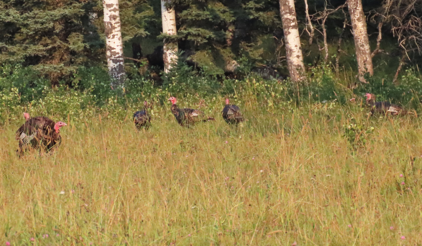 On the way to the trailhead, we saw a bunch
of turkeys
On the way to the trailhead, we saw a bunch
of turkeys
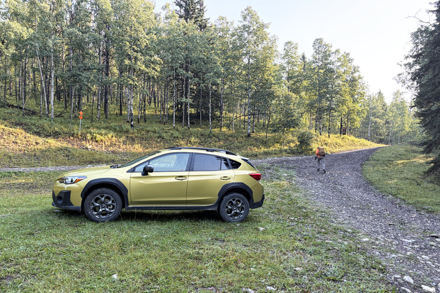 The hike began on a logging road
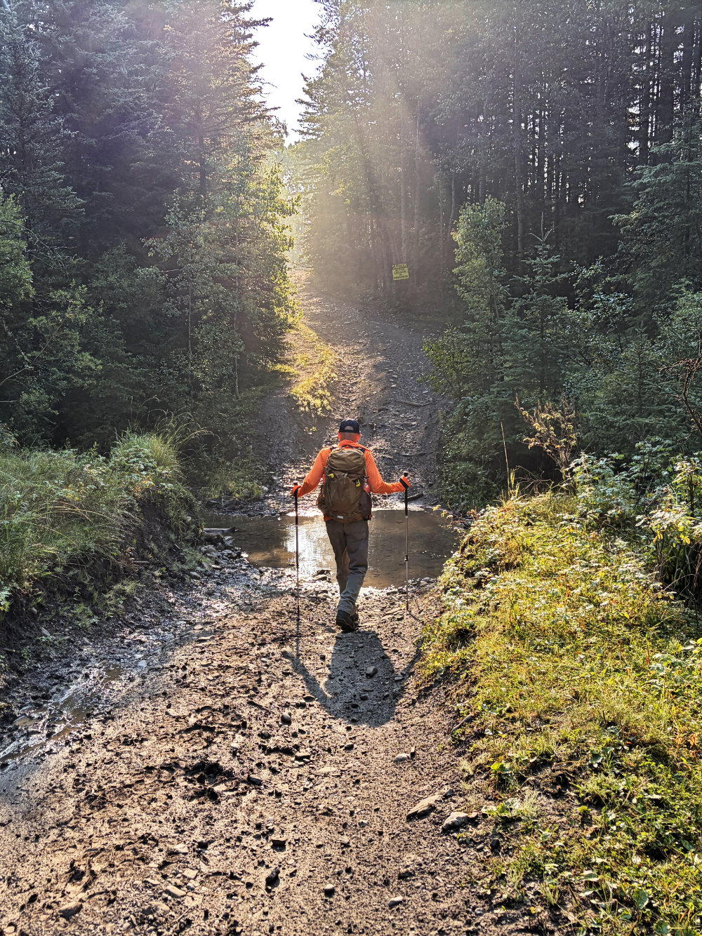
We soon crossed a stream
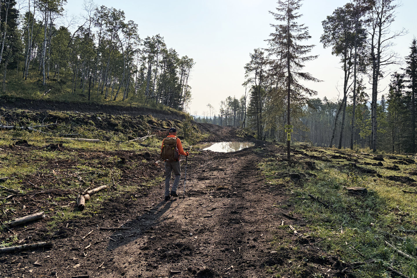 Logging had destroyed the area
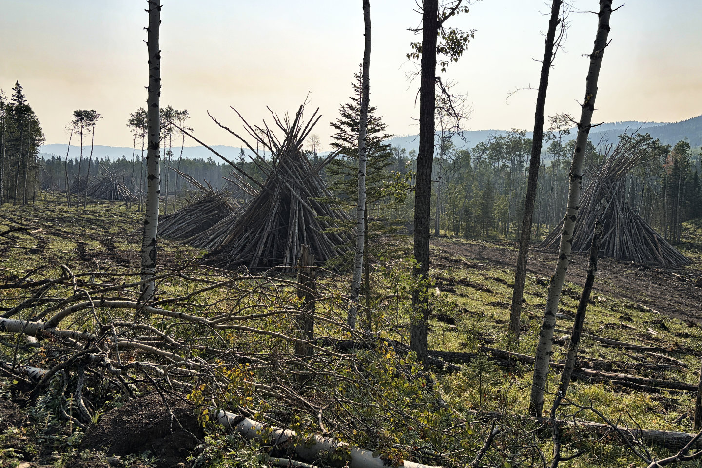 Slash piles were everywhere along the road
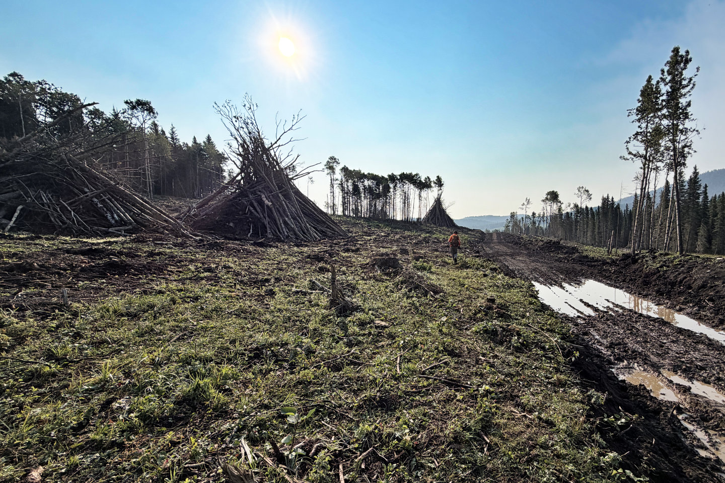 We circumvented a wet and muddy road
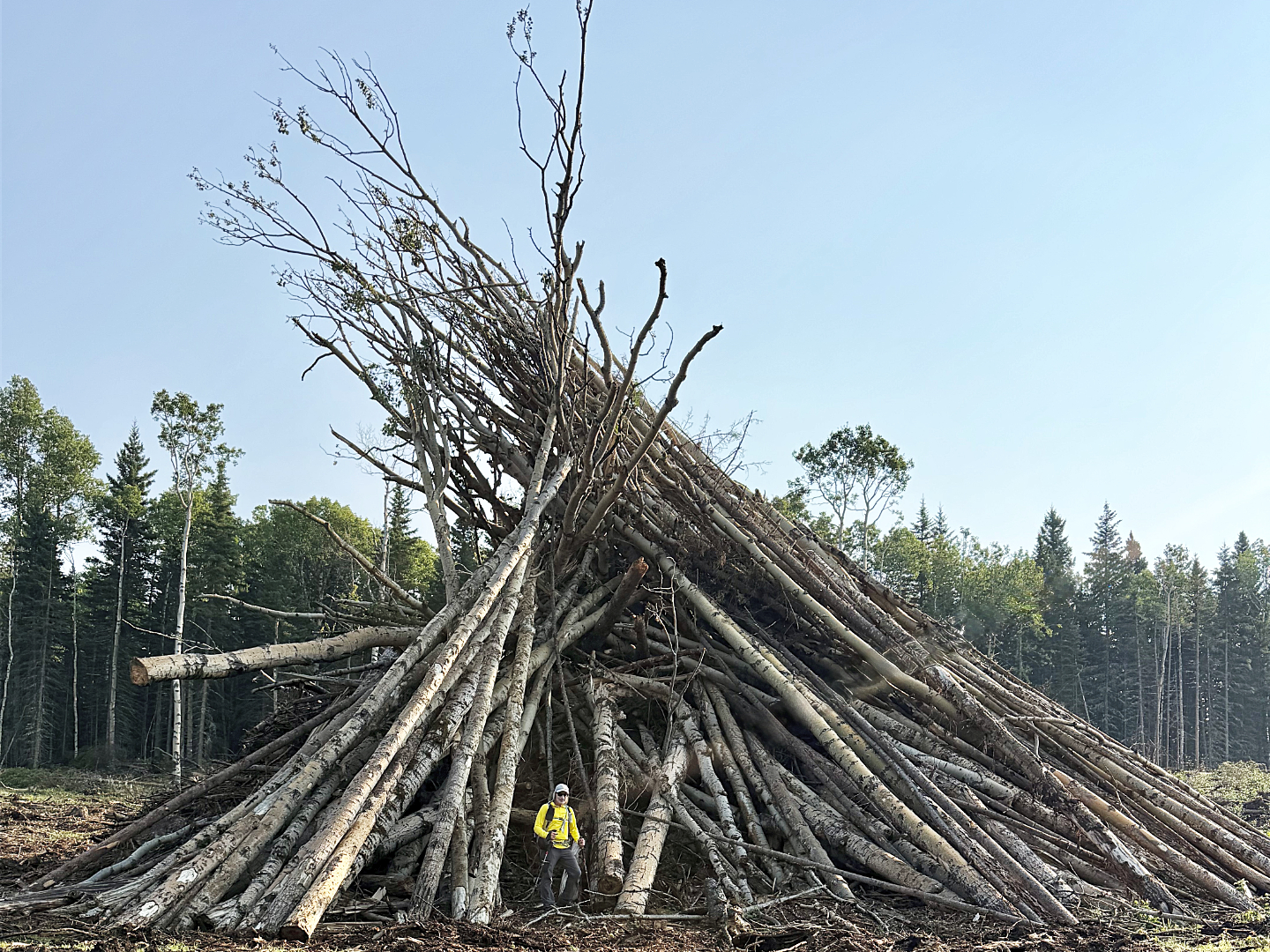 The slash piles were huge
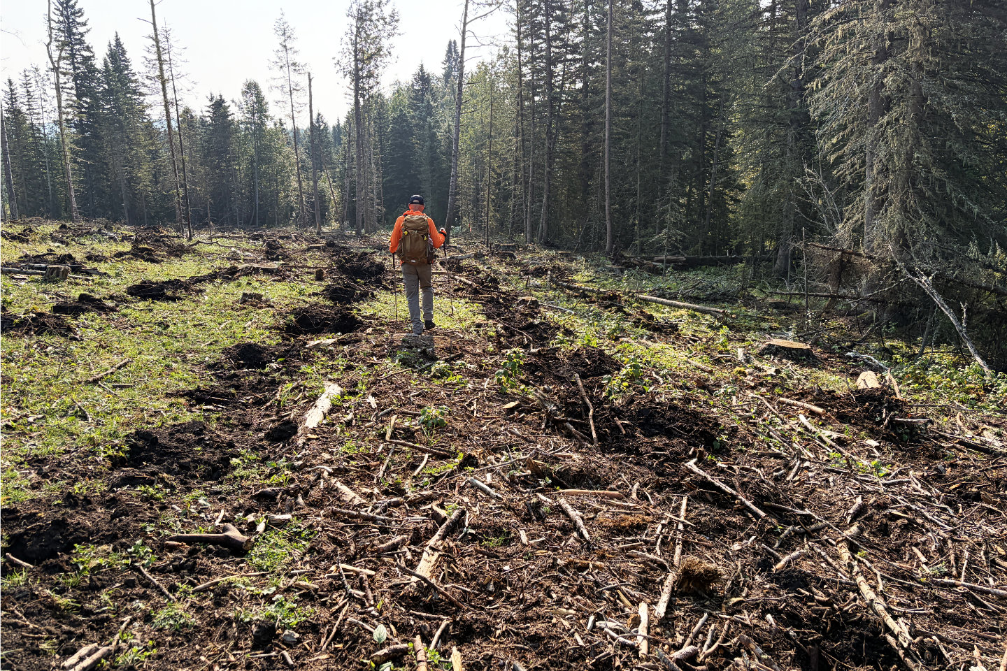 We mistakenly followed a skid trail for a
time
We mistakenly followed a skid trail for a
time
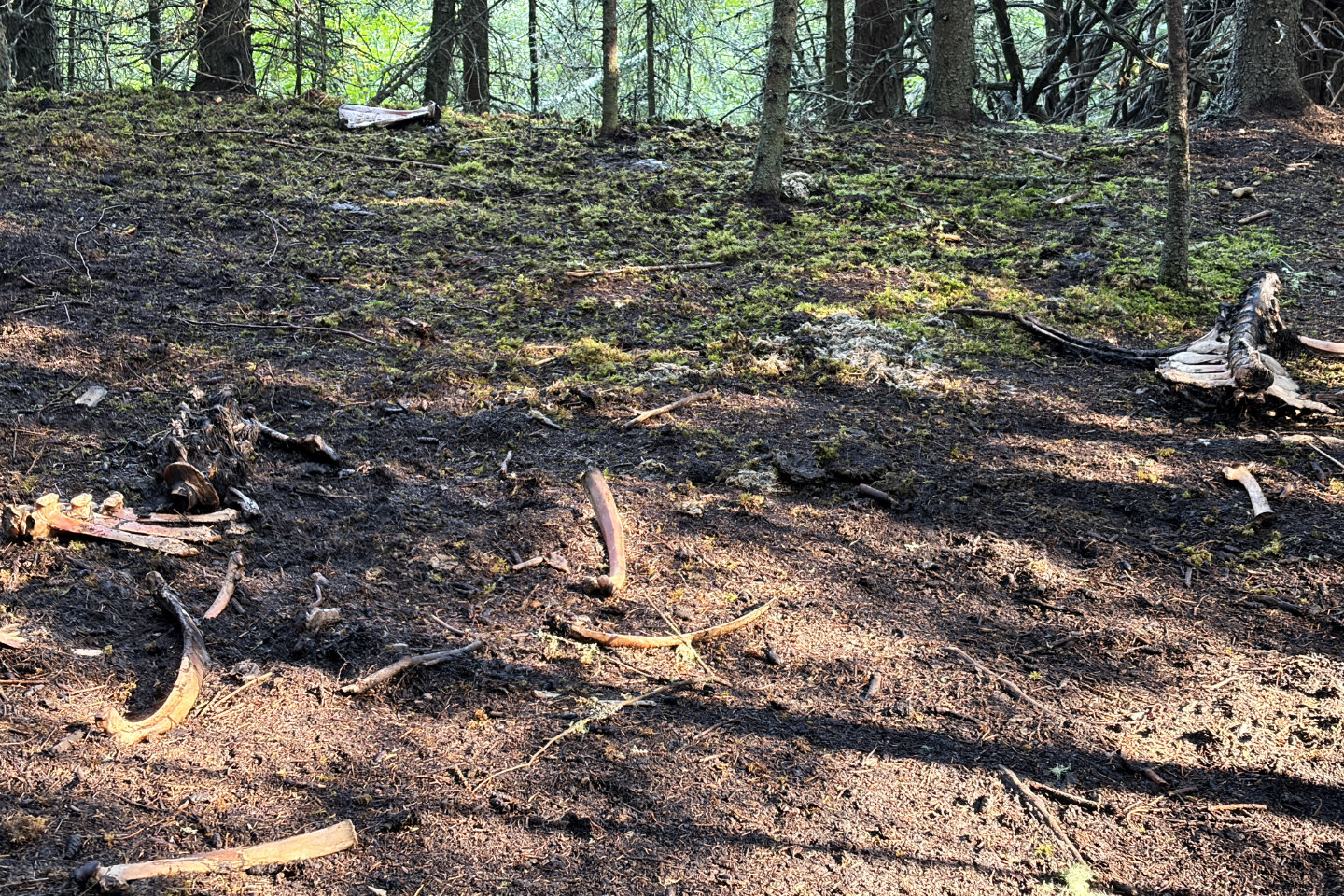 While bushwhacking to get back on track, we passed the remains of a cow. This was the nicer of the two photos I
took. Mouse over if you wish to view the stomach-churning carcass.
While bushwhacking to get back on track, we passed the remains of a cow. This was the nicer of the two photos I
took. Mouse over if you wish to view the stomach-churning carcass.
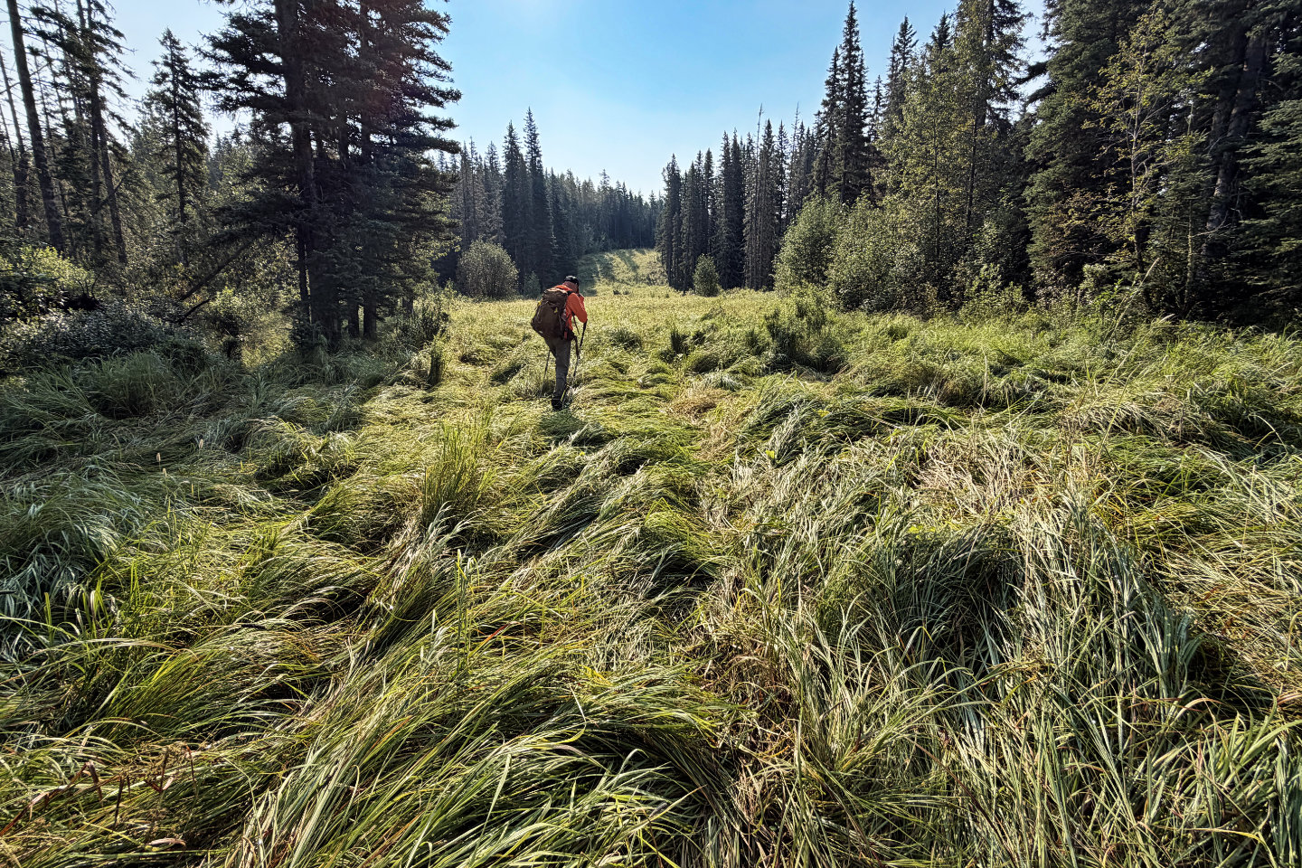 Hiking up the well road
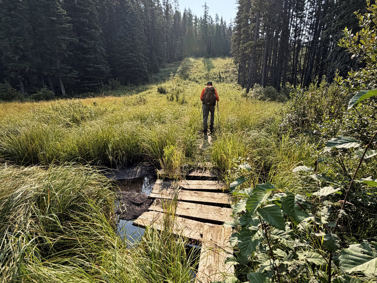
We encountered several bogs, but only two had boards
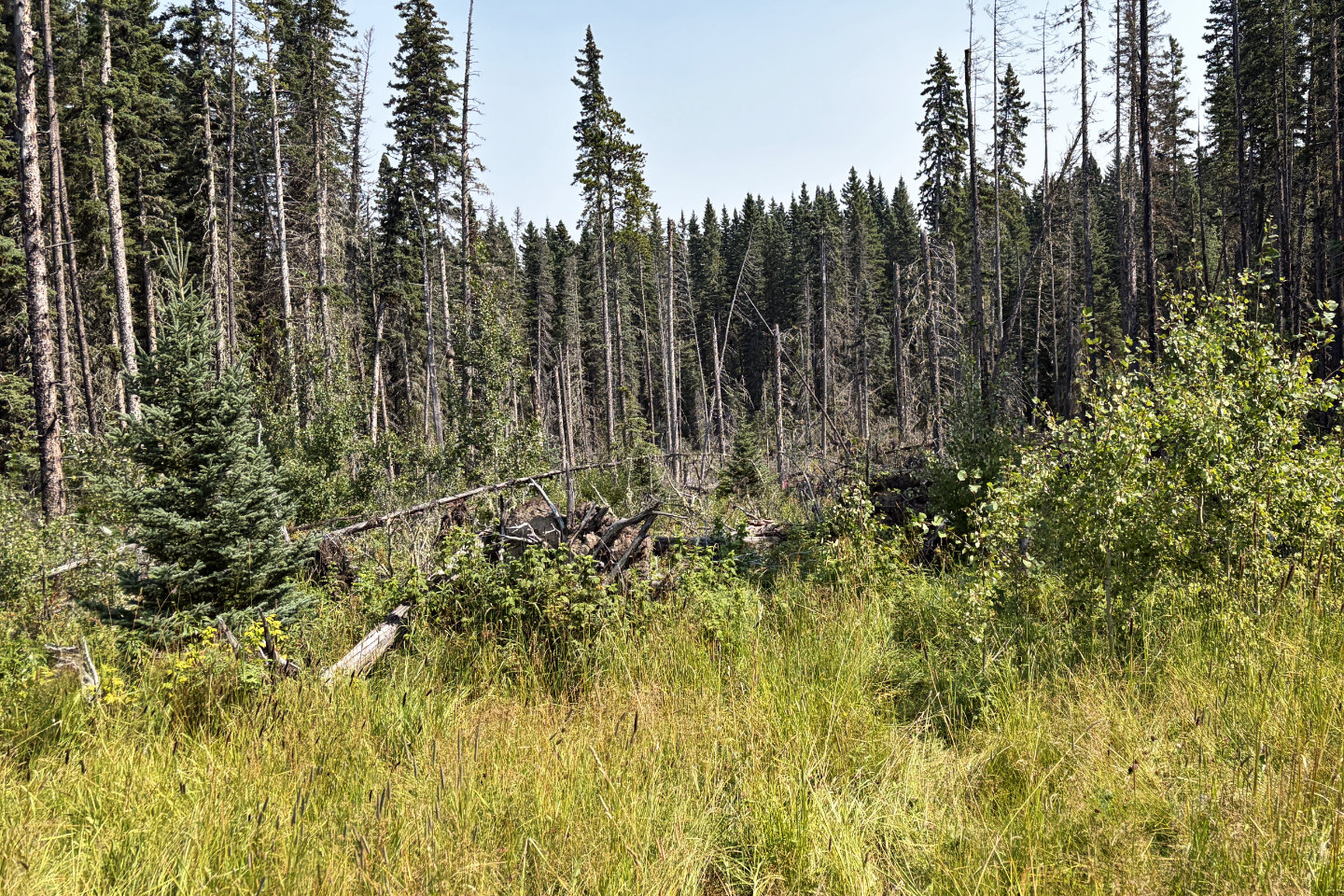 The track leaves the well road here, but it
was crammed with deadfall, so we went left around it.
The track leaves the well road here, but it
was crammed with deadfall, so we went left around it.
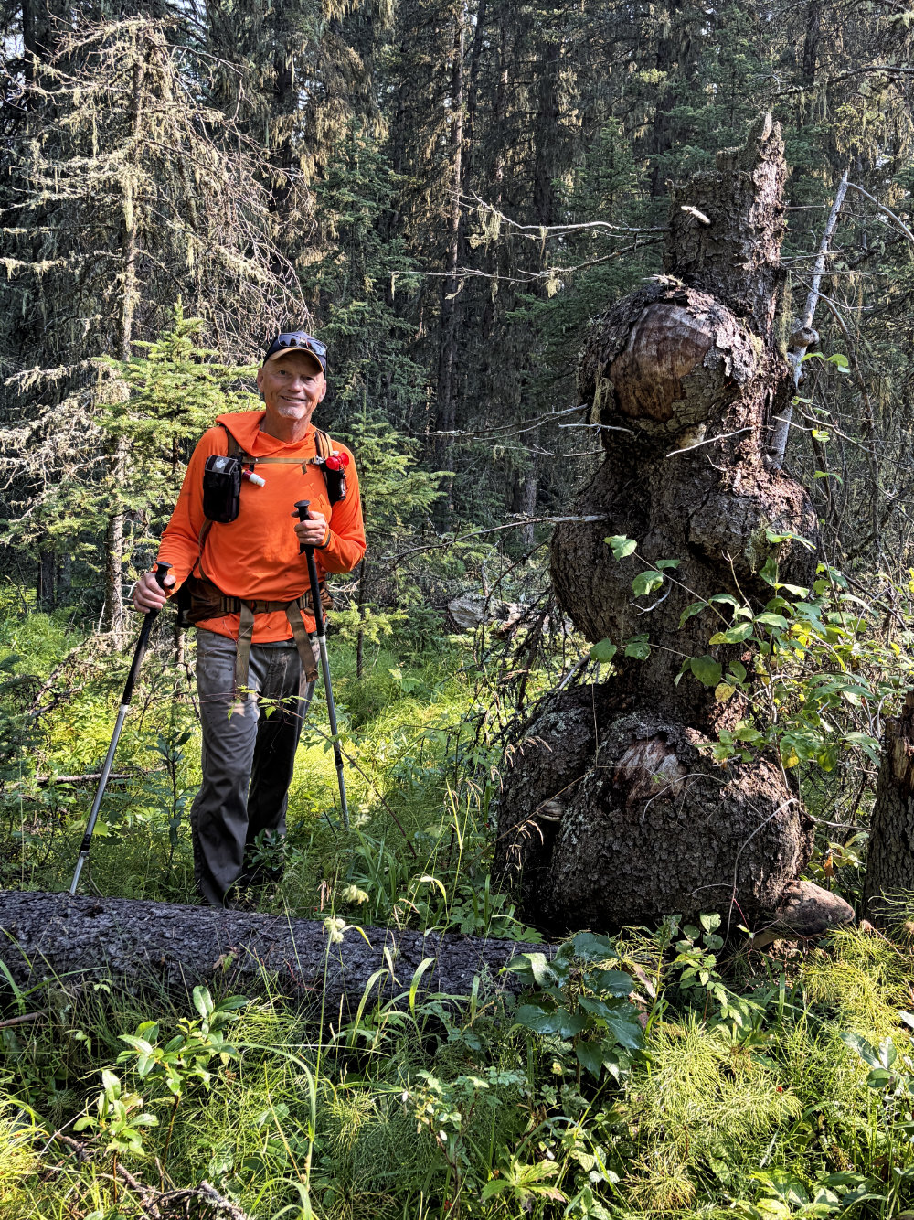
We passed a stump with massive burls
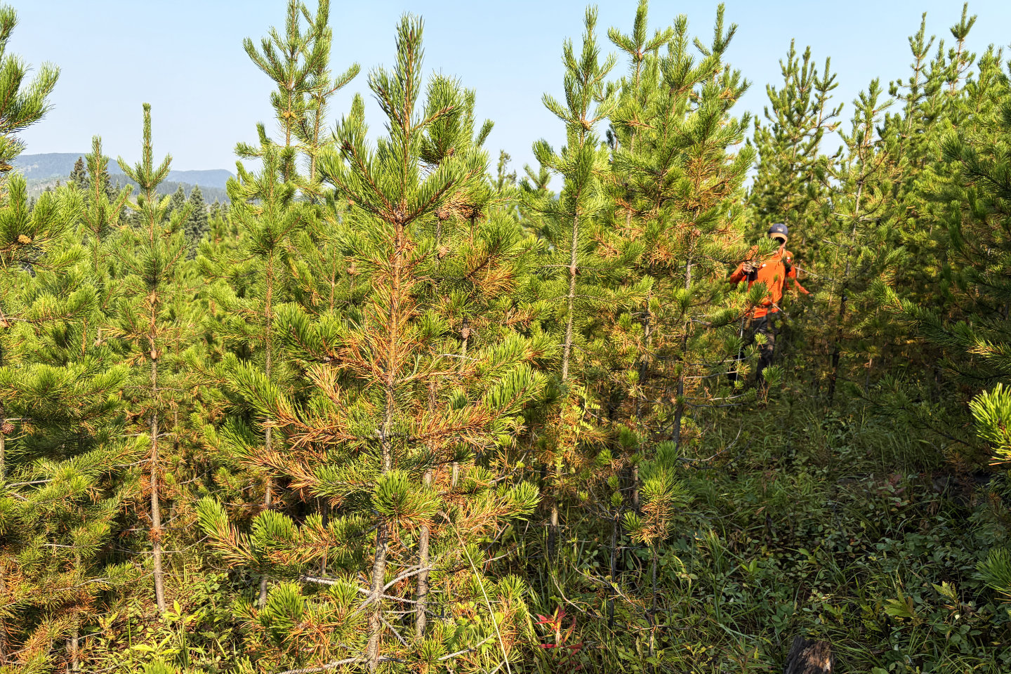 We pushed through dense, young trees
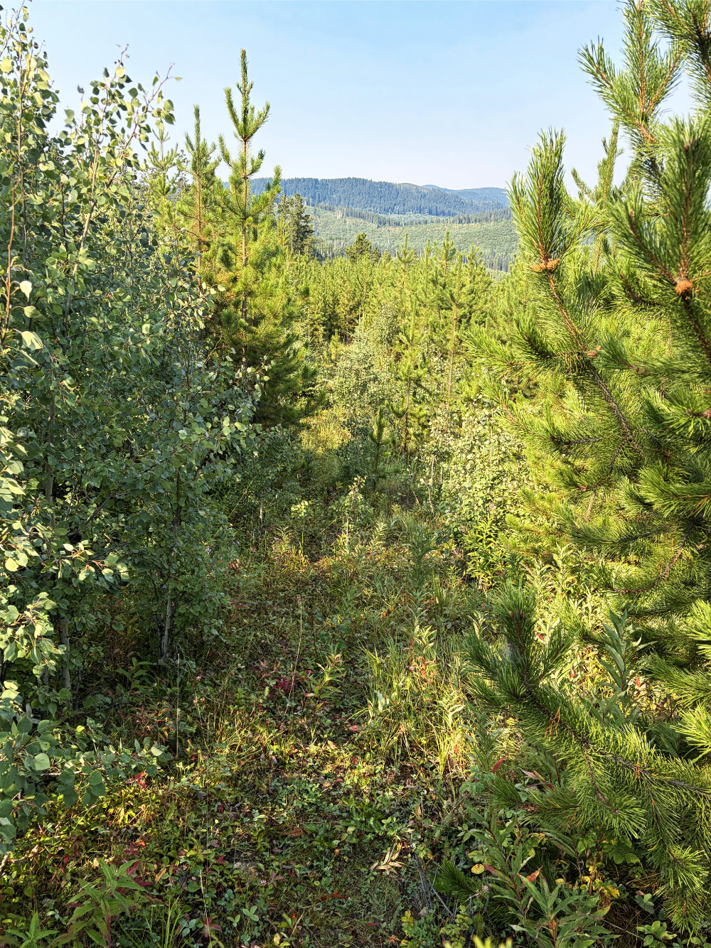
Looking back on what appeared to be an overgrown road
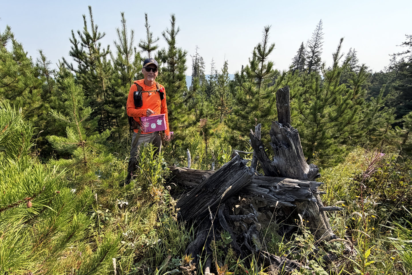 We found a summit register by a wood cairn
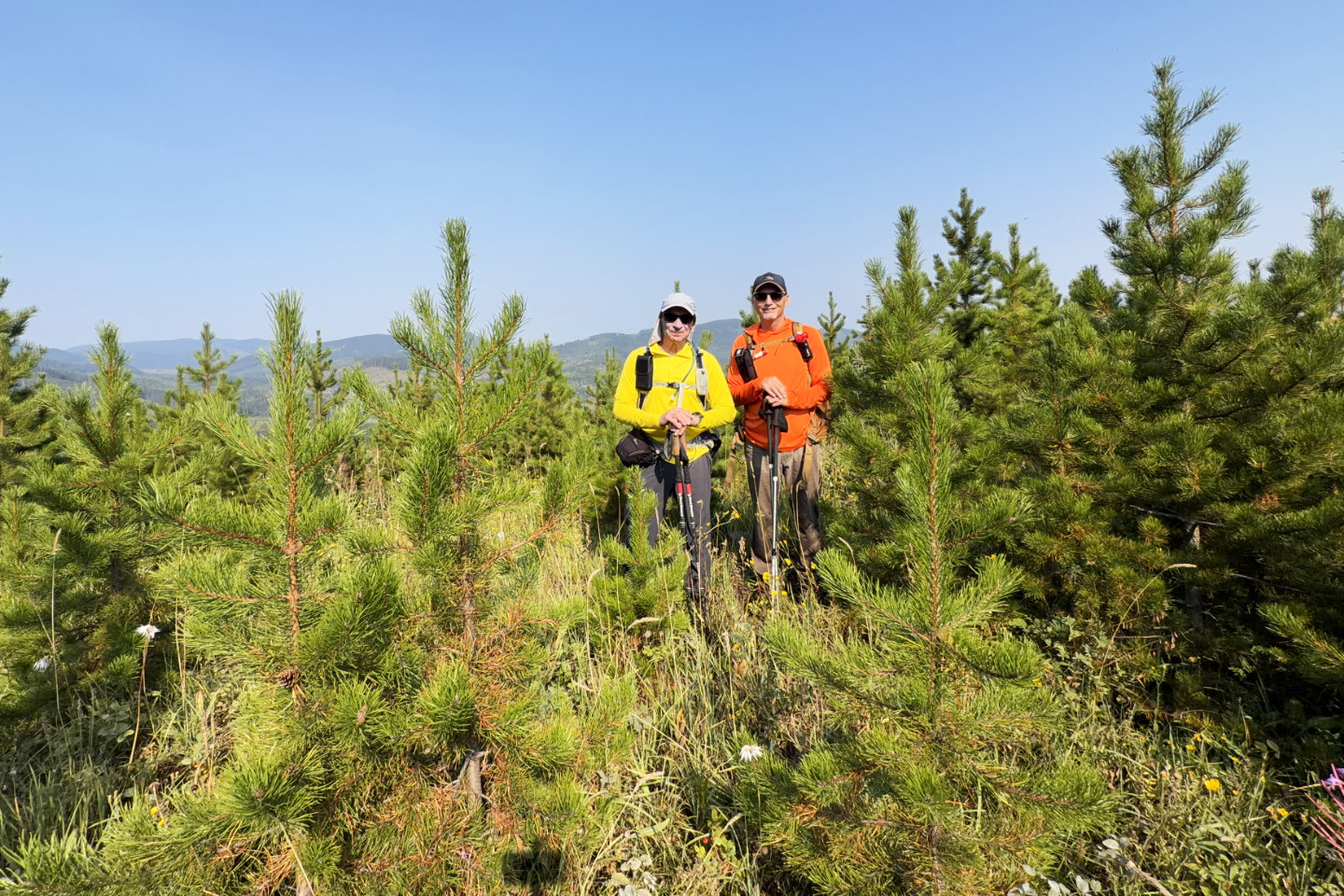 Standing on top of Hickory Hill
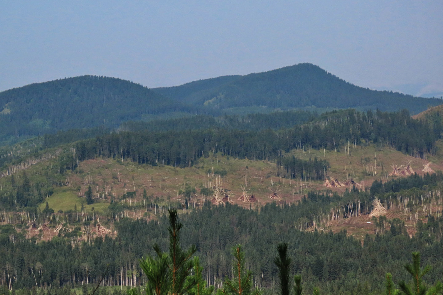 Slash piles appear below
Whiskey Hill
Slash piles appear below
Whiskey Hill
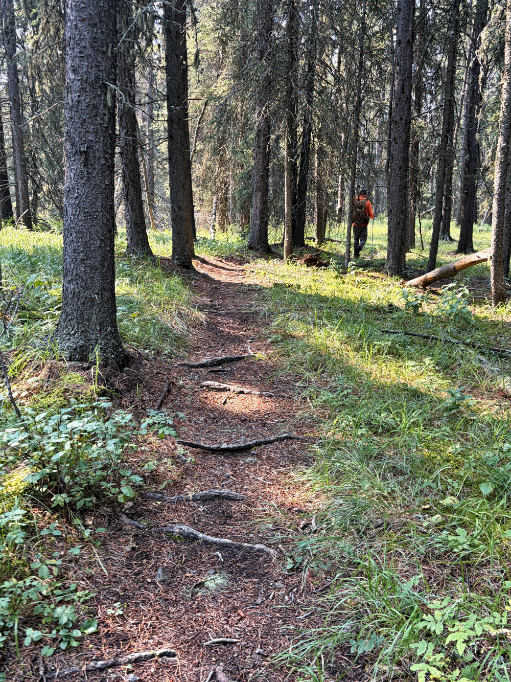
Going down the trail on Hickory Hill
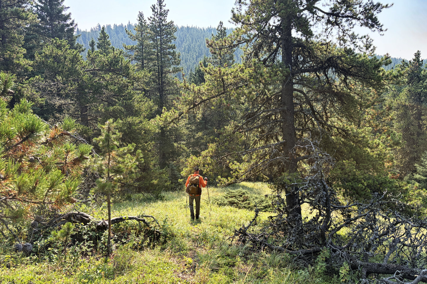 We left the trail and set off for Humpty's
which is 60 m higher than Hickory
We left the trail and set off for Humpty's
which is 60 m higher than Hickory
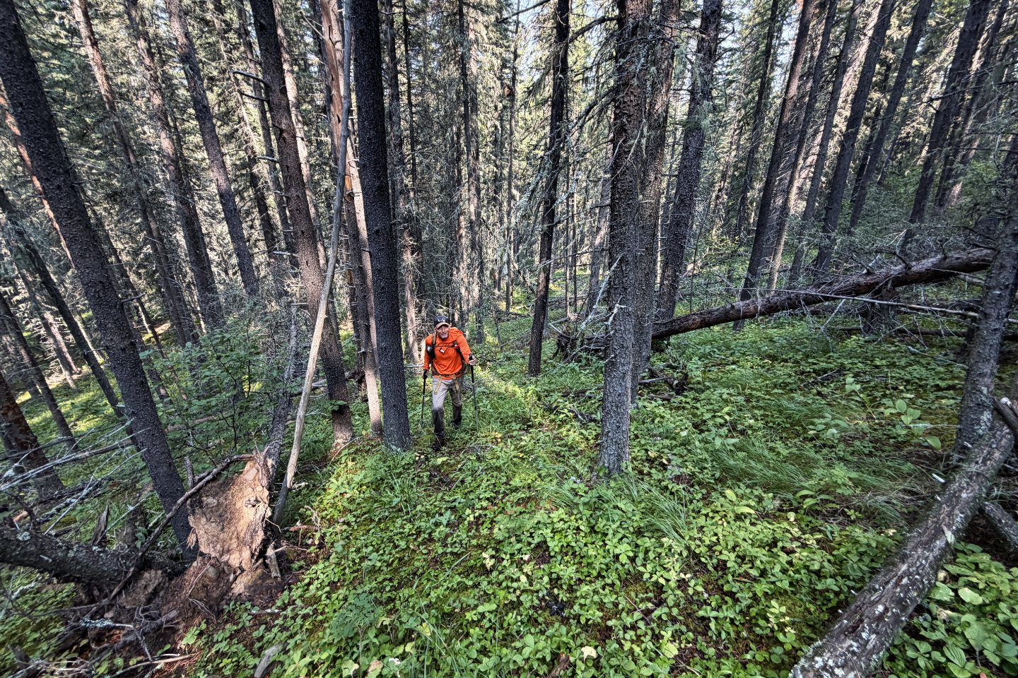 We avoided deadfall as we climbed up
Humpty's Hill
We avoided deadfall as we climbed up
Humpty's Hill
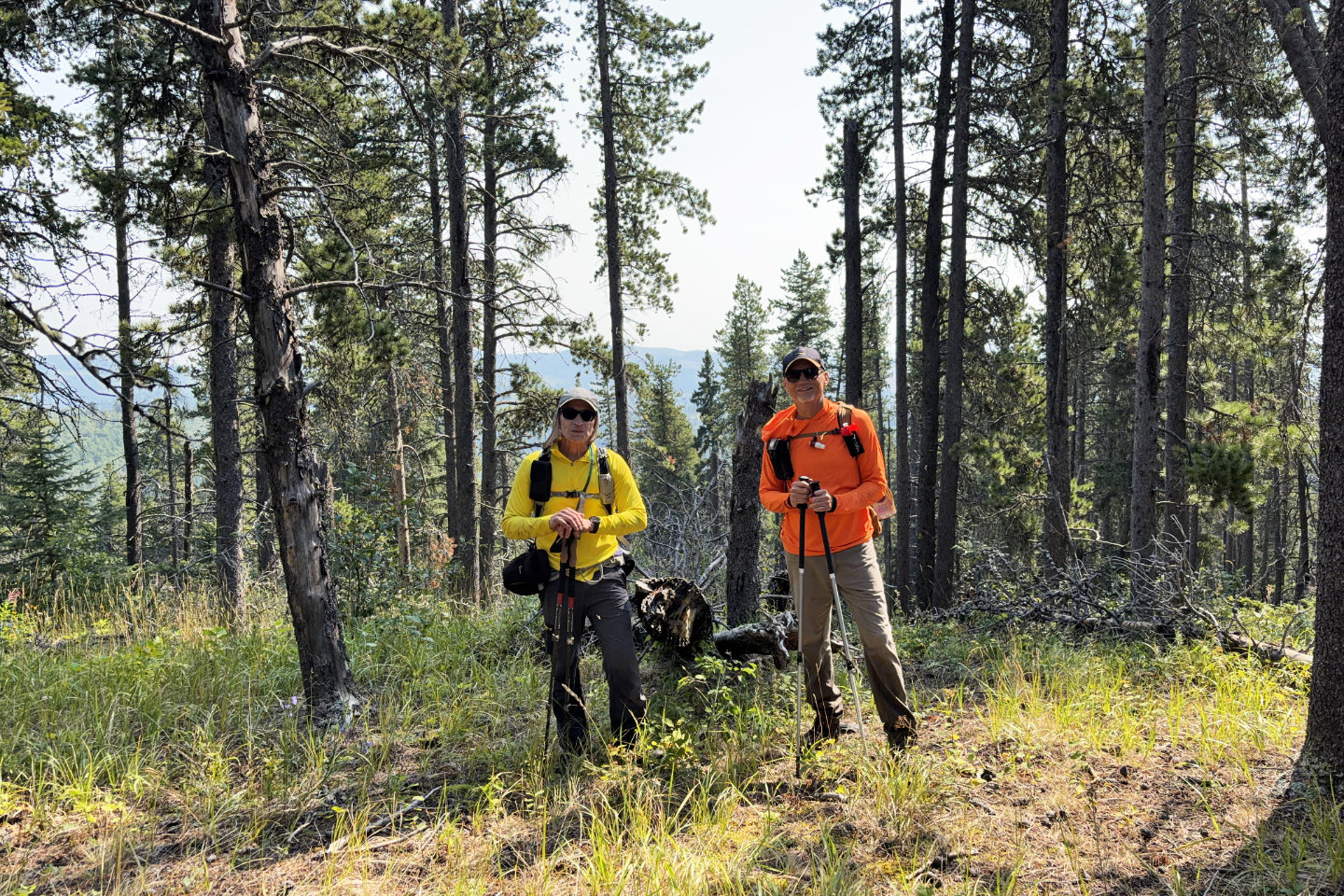 On the summit
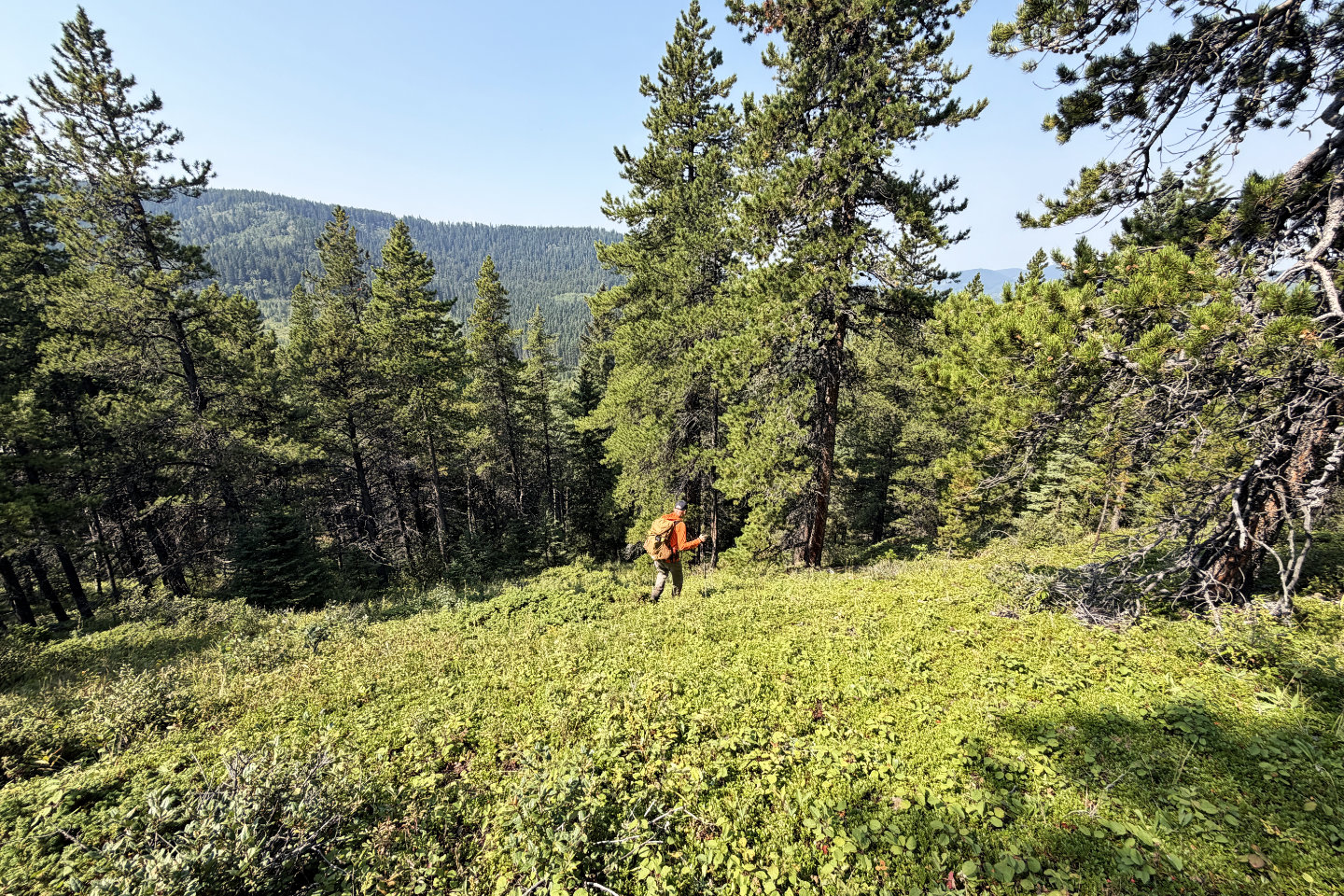 From the summit, we bushwhacked to the
cutline
From the summit, we bushwhacked to the
cutline
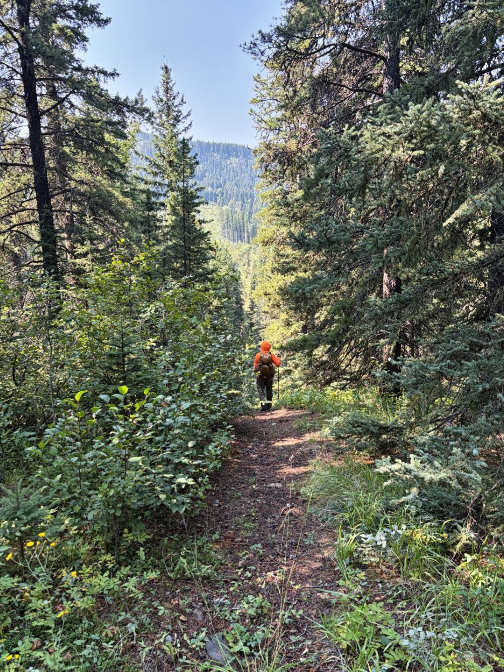
Going down the cutline
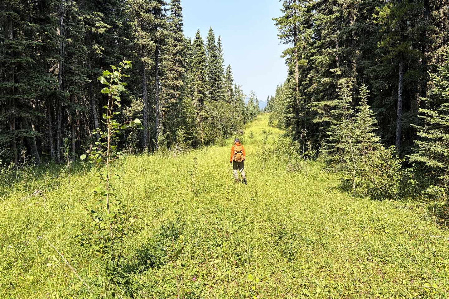 The well road looks pleasant, but was rife
with bogs
The well road looks pleasant, but was rife
with bogs
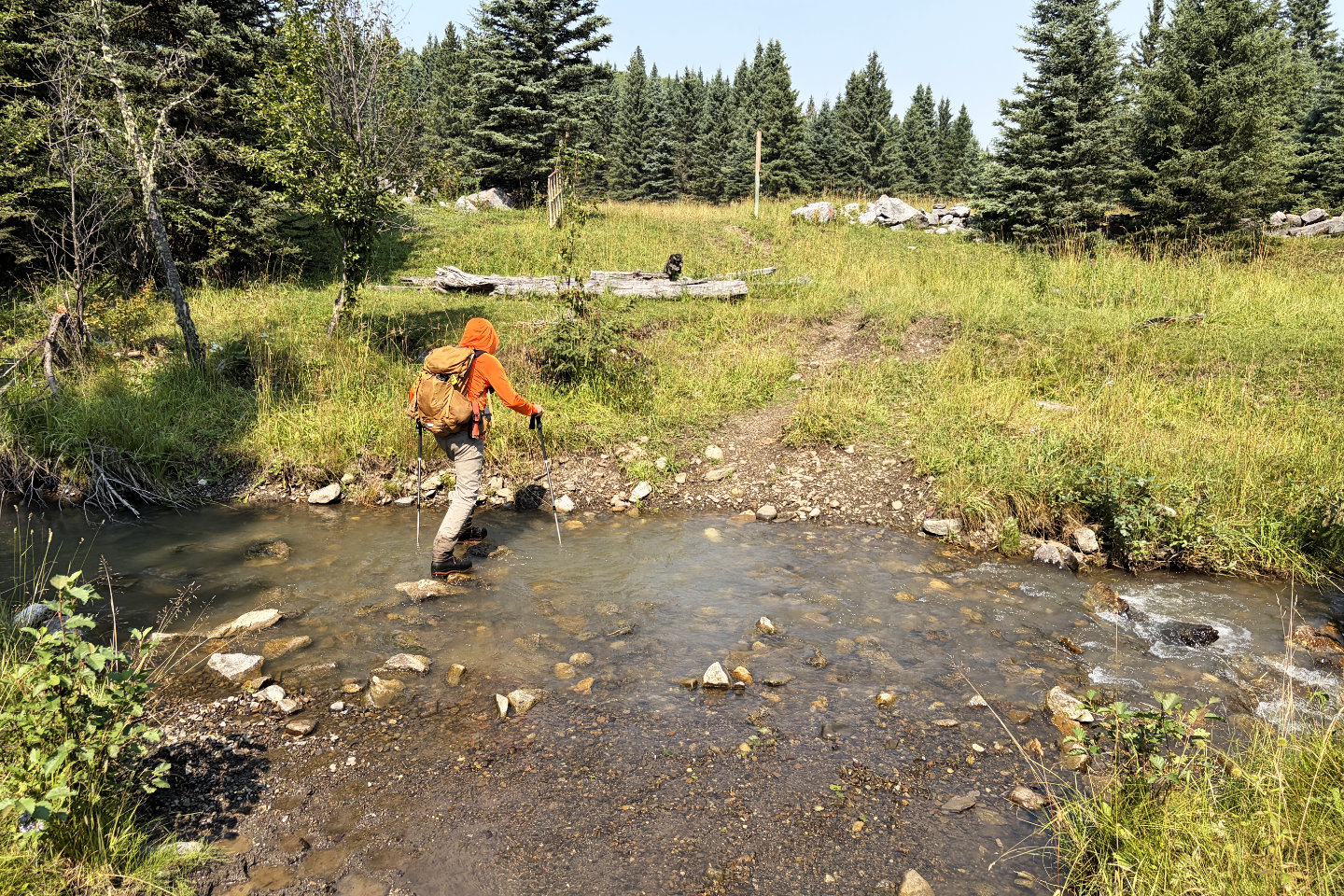 We followed the well road back to the
logging road. Here we are crossing Three Point Creek.
We followed the well road back to the
logging road. Here we are crossing Three Point Creek.
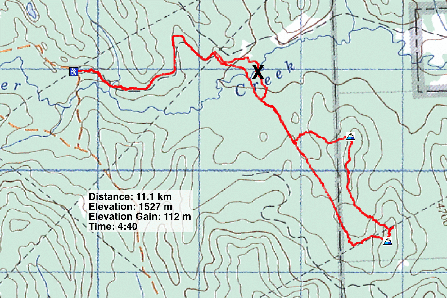 82 J/15 Bragg Creek