bobspirko.ca | Home | Canada Trips | US Trips | Hiking | Snowshoeing | MAP | About
Lost Knife Hill
Kananaskis, Alberta
April 30, 2026
Distance: 9.8 km (6.1 mi)
Cumulative Elevation Gain: 534 m (1752 ft))
Lost Knife Hill doesn’t cut it as an exemplary hike. The forested summit offers no views, and although the trail passes vast clearings, the scenery isn’t very inspiring. But the route is simple: follow an ATV trail to where it passes within 40 m of the summit. I found it on peakery.com.
I parked at the entrance of Waiparous Creek Campground and started up the trail. After passing through trees, the trail follows a cutline in a clearing before diverging and turning right. It re-enters trees and passes a hillock. This was the first of two little hills I stopped to explore in search of views. I left the trail and hiked a short distance up a slope clogged with deadfall. I reached an open, narrow ridge with a fine view, certainly worth the couple of minutes it took to reach it. A dirt bike trail conveniently leads back down to the road.
After the first hill, the trail regains the cutline and drops down 50 m. (On the way back, I took advantage of a steep shortcut I hadn’t seen, better than following a long switchback.) I followed the trail to where it climbs to pass the second hill. I left the road again in search of a view. But young pines interfered with the sight, and it wasn’t worth it. I returned to the trail, and at the edge of a clearing, I saw the treed summit of Lost Knife Hill. I followed the trail as it passed through the clearing and re-entered the trees.
As I passed near the summit, I looked for a place to leave the trail. A steep embankment lined the left side,
but I noticed a break before the trail reached a high point. I climbed up and soon found a faint trail. It
passed the exploration road shown on the map, which would have been more direct if it weren’t filled with dense
bushes. A dirt bike trail runs by the summit, but it doesn’t appear to lead directly back to the main trail. A
small cairn in the trees marked the summit. There were no views, so having reached the sharp end of Lost Knife
Hill, I headed back down.
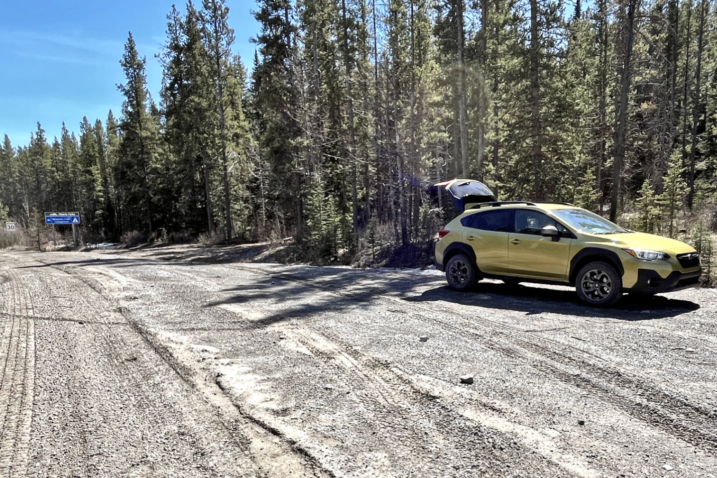 I parked at the entrance of Waiparous Creek
Campground
I parked at the entrance of Waiparous Creek
Campground
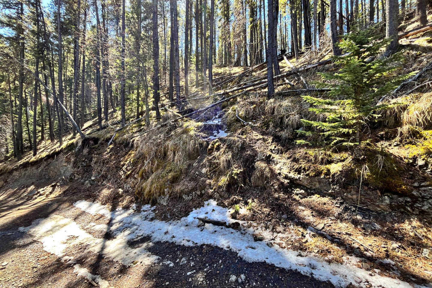
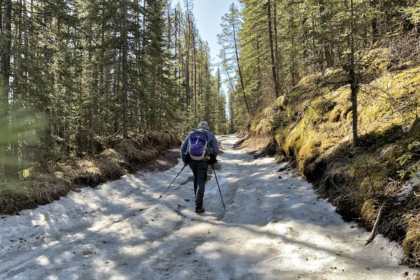 I wore icers for the first couple of hundred
metres but didn't require them after that
I wore icers for the first couple of hundred
metres but didn't require them after that
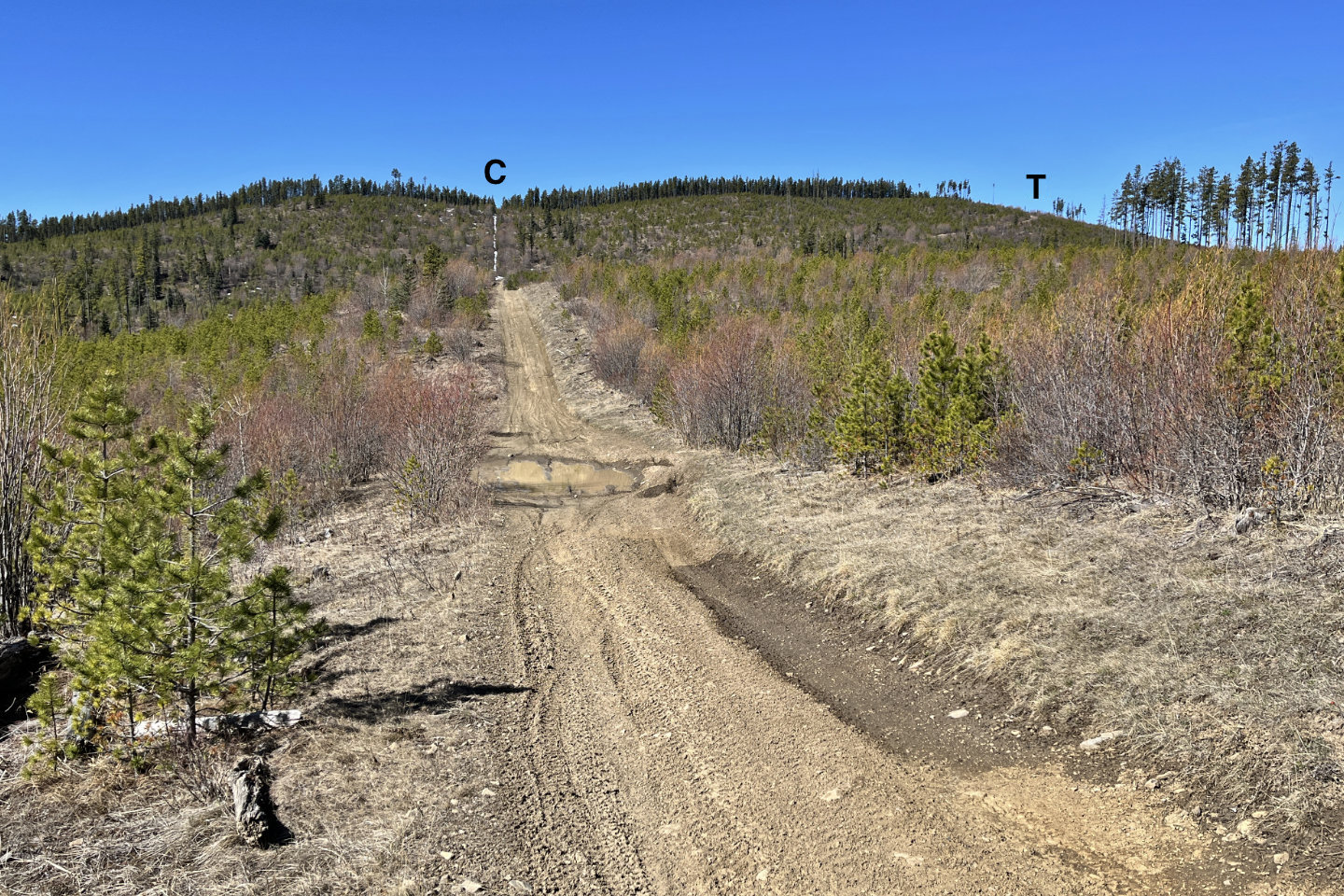 The Cutline continues straight ahead, but
the Trail turns right
The Cutline continues straight ahead, but
the Trail turns right
 Looking back from the trail bend.
Sand Ridge is on the left.
Looking back from the trail bend.
Sand Ridge is on the left.
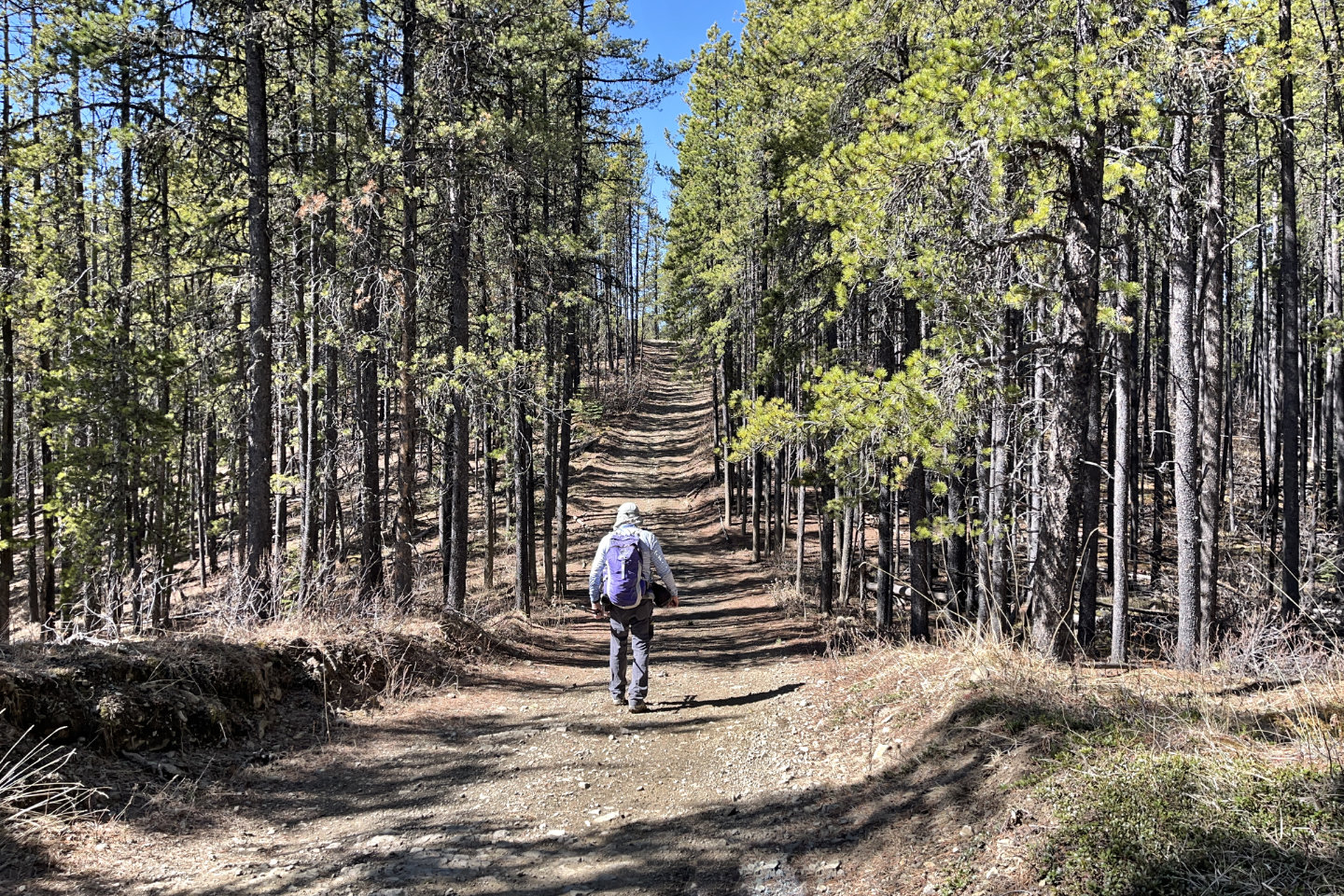 The trail continues in the trees
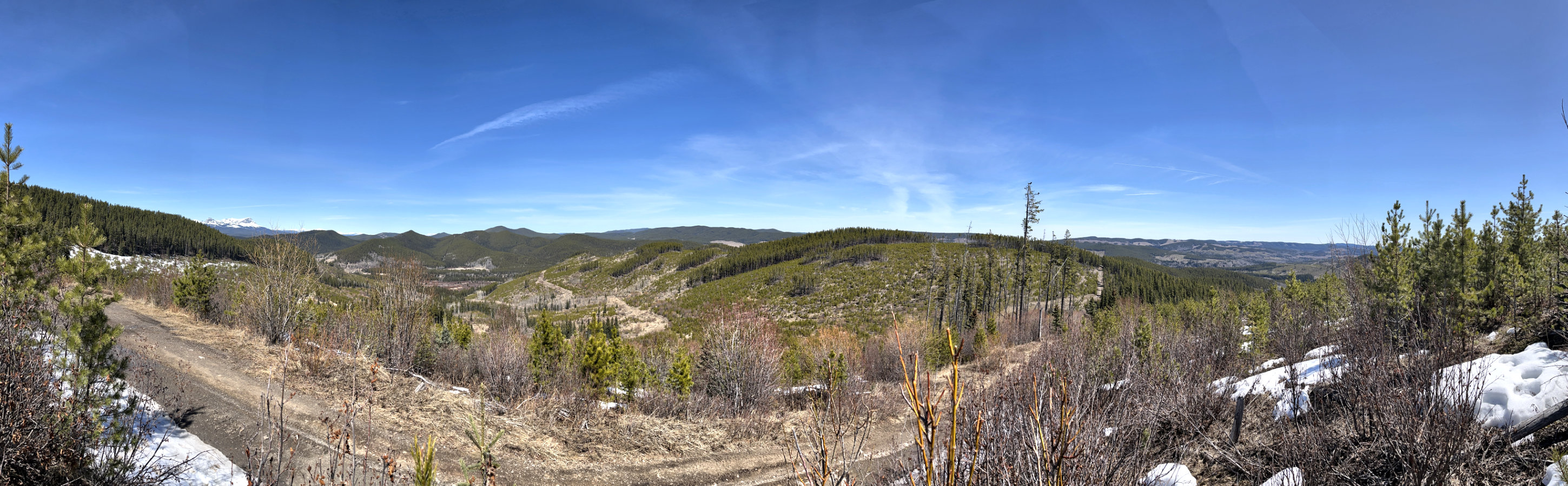
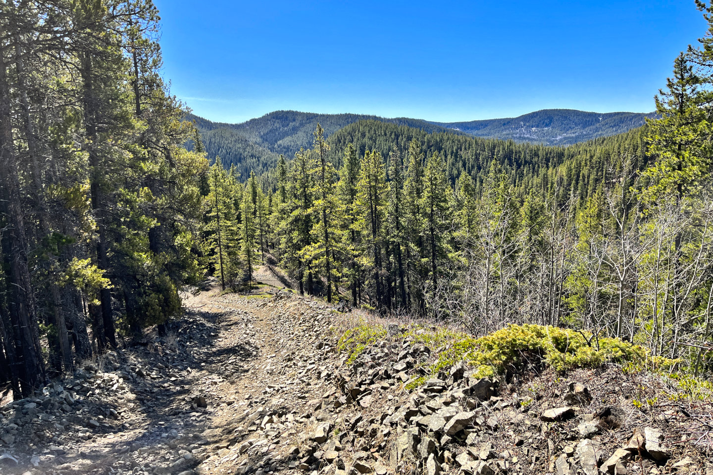
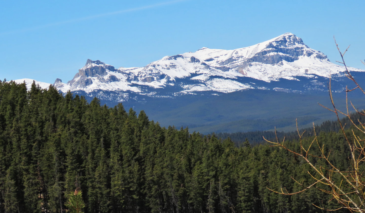
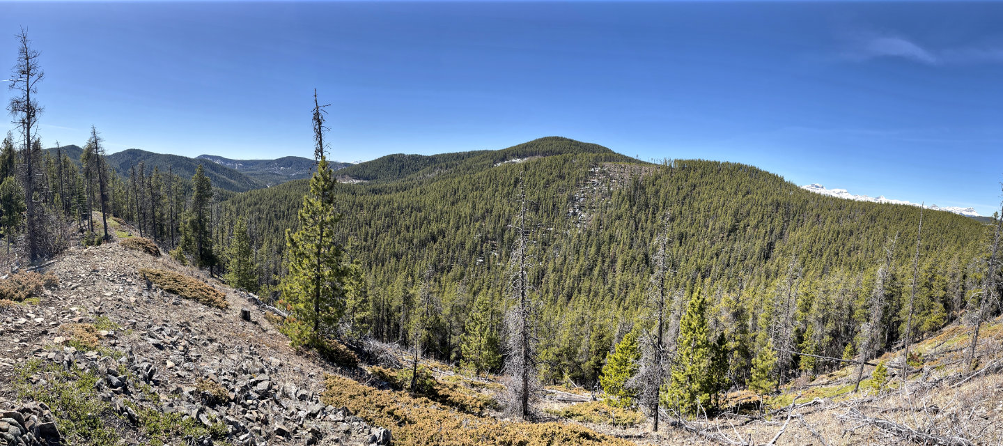 A short climb from the trail led to this
vista. Lost Knife Hill is in the centre. The snow-capped peaks on the right are Castle Rock, Mount Davidson,
Sheep's Claw, Sheep Meadow Mountain and Ghost Peak. Left, a ridge trail leads back to the road.
A short climb from the trail led to this
vista. Lost Knife Hill is in the centre. The snow-capped peaks on the right are Castle Rock, Mount Davidson,
Sheep's Claw, Sheep Meadow Mountain and Ghost Peak. Left, a ridge trail leads back to the road.
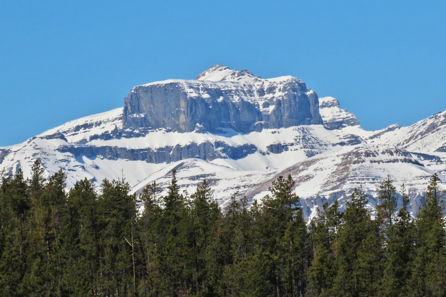 Castle Rock is 20 km away
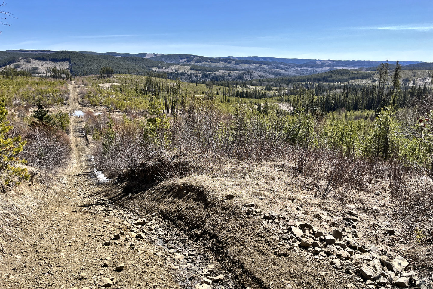
 The trail drops down 50 m
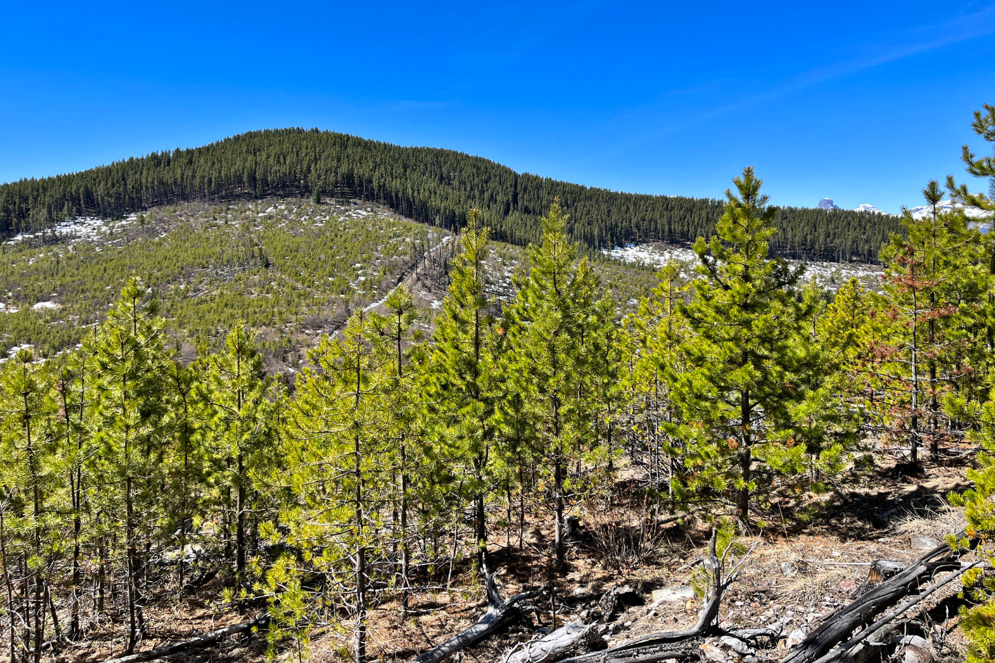 I hiked to a viewpoint on the second hill,
but it wasn't worth the time or effort
I hiked to a viewpoint on the second hill,
but it wasn't worth the time or effort
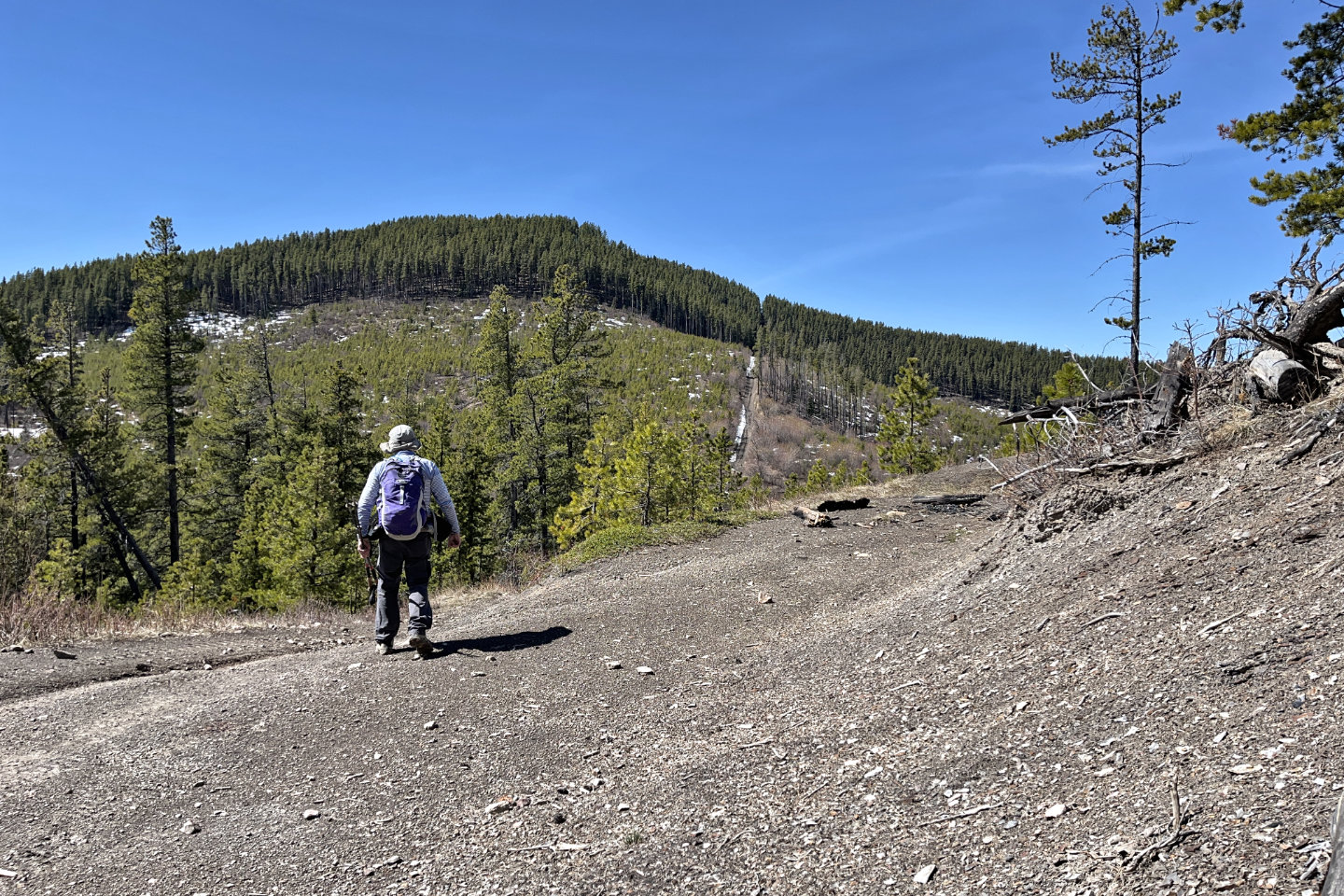 A short drop precedes the summit
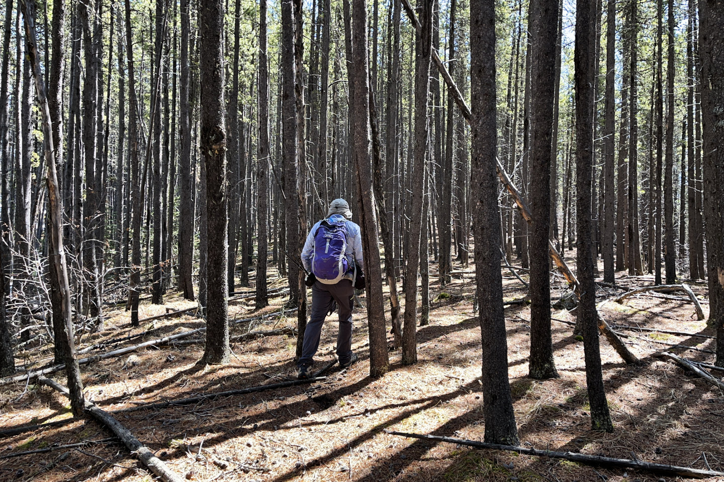
 Looking back before I entered the trees
below the summit
Looking back before I entered the trees
below the summit
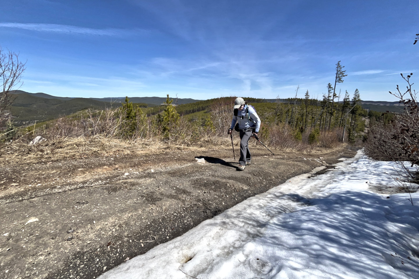
 I had the best view here of Sheep's Claw,
Sheep Meadow Mountain and Ghost Peak
I had the best view here of Sheep's Claw,
Sheep Meadow Mountain and Ghost Peak
 I left the road just below it's highest point
 I
I
I soon found a trail
 The last steps to the summit were rather
pleasant
The last steps to the summit were rather
pleasant
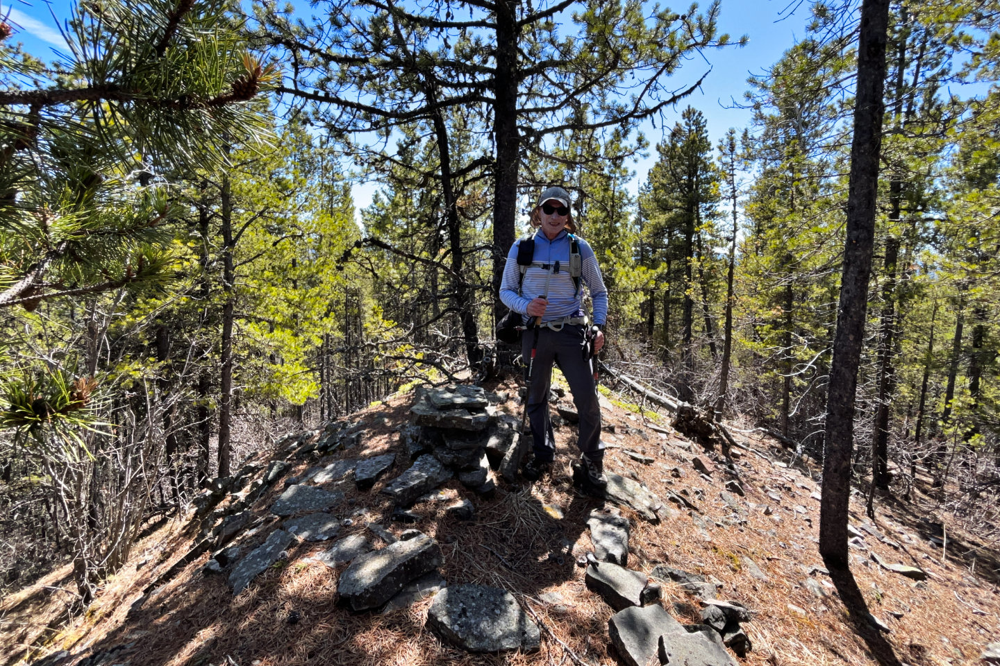 On the summit
 82 O/6 Lake Minnewanka, 82 O/7 Wildcat Hills