bobspirko.ca | Home | Canada Trips | US Trips | Hiking | Snowshoeing | MAP | About

Manystick Peak
Oldman River Area, Alberta
October 3, 2026
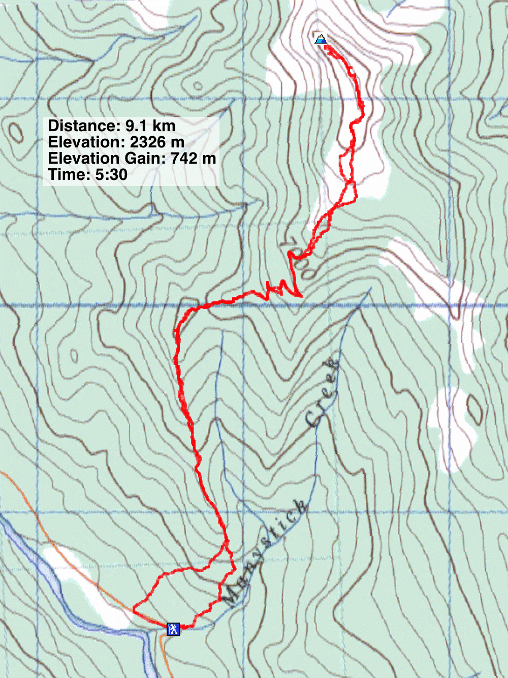
Distance: 9.1 km (5.7 mi)
Cumulative Elevation Gain: 808 m (2651 ft)
Manystick Peak is many kilometres south of Calgary, but despite the long drive, it’s worth climbing. It’s not an area I have visited often, and I welcomed the change in scenery. The peak sits at the south end of Cabin Ridge, and having viewed it from Old Dutchman Peak, I was familiar with it. I hadn’t given serious thought to climbing it until Sonny and Zosia invited me to join them.
With a route from Peakery in hand, we parked next to Manystick Creek and started up a wooded slope. In a short time, we reached a trail on the southwest spur that runs to Cabin Ridge. We followed the trail as it climbed a meadow before eventually disappearing in the woods. However, we hiked easily through thin trees. When we encountered a rocky spine, we naturally gravitated to it. While the rocks can be easily avoided – and we did so for a fast descent – they were fun to explore, and they offered fine viewpoints.
We continued up the spur to Cabin Ridge. We crossed rough, decommissioned roads and briefly followed intact roads. But mostly we bushwhacked, and that became easier as the vegetation grew sparser the higher we climbed. When we reached Cabin Ridge, the terrain levelled out, and we walked 500 m to the summit, a bald knob at the north end of the ridge.
After lingering on top, we returned down the spur. But near the bottom, we veered right and found a trail. We followed it down to the road, leaving us to walk 200 m back to the car. While we had no trouble reaching the spur directly, the trail makes routefinding easy at the start and should be considered.
KML and GPX Tracks
Sonny's Trip Report
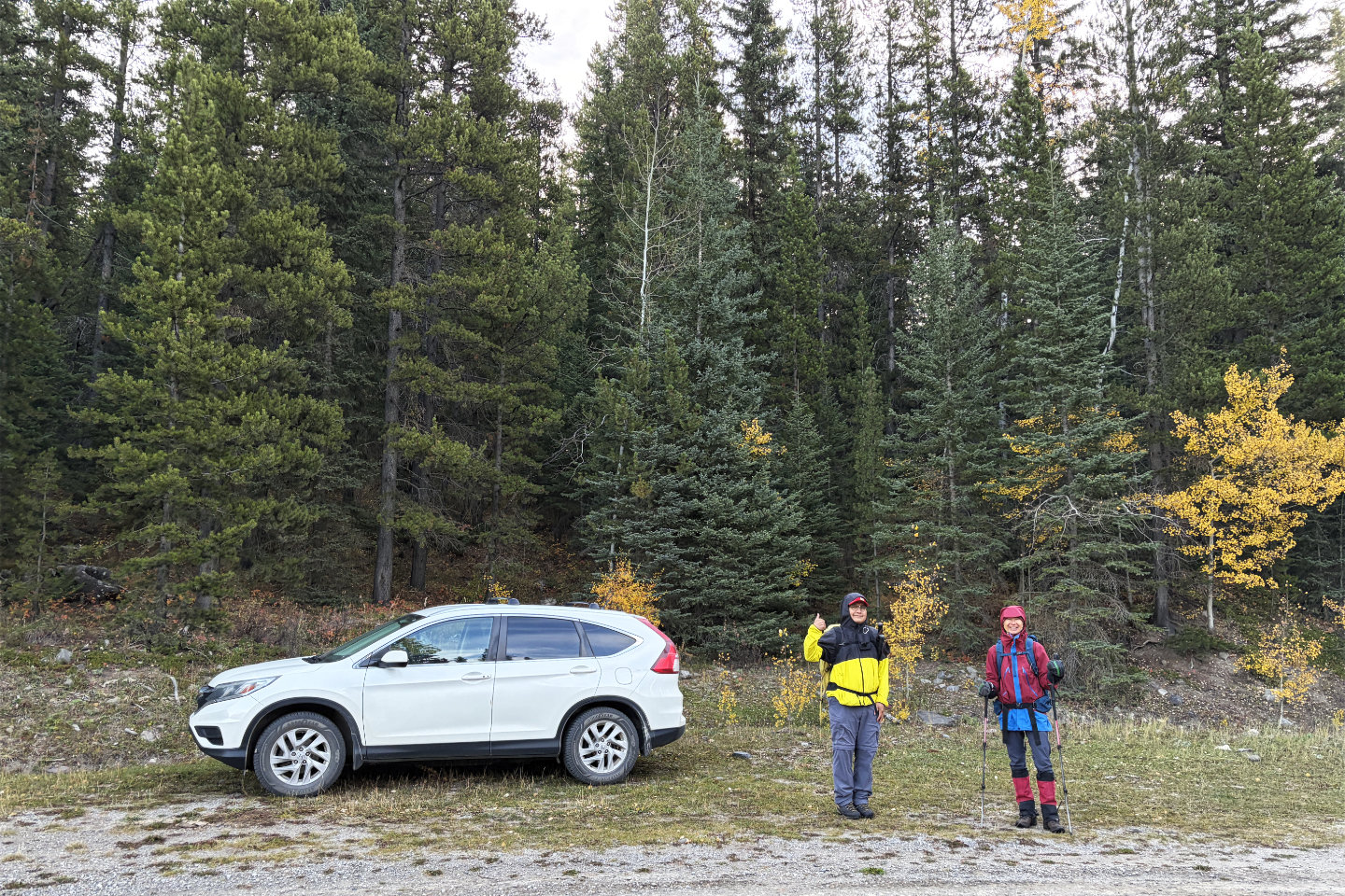 We parked next to Manystick Creek and
proceeded into the forest behind us
We parked next to Manystick Creek and
proceeded into the forest behind us
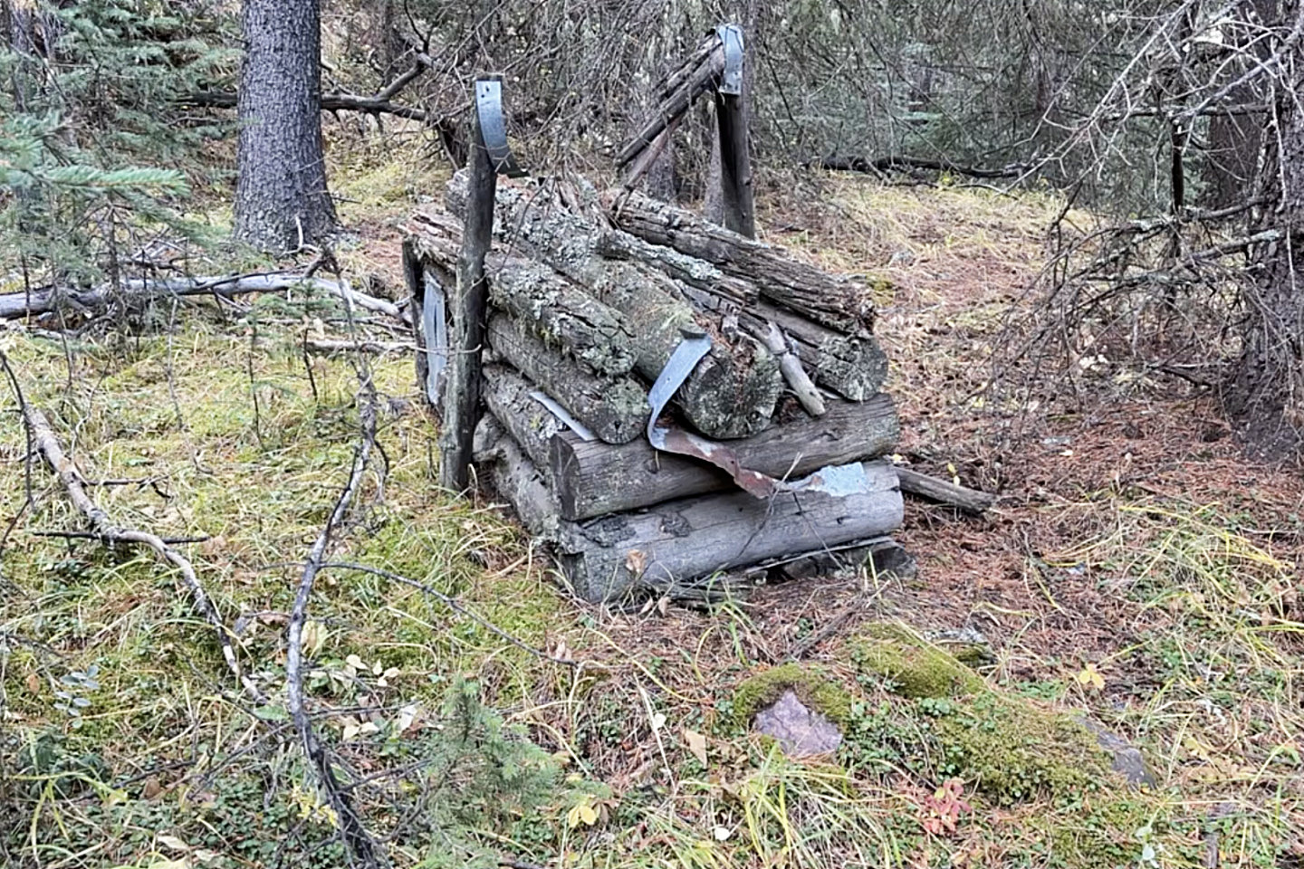 This was likely a legal box trap used for
trapping small furbearing animals like martens
This was likely a legal box trap used for
trapping small furbearing animals like martens
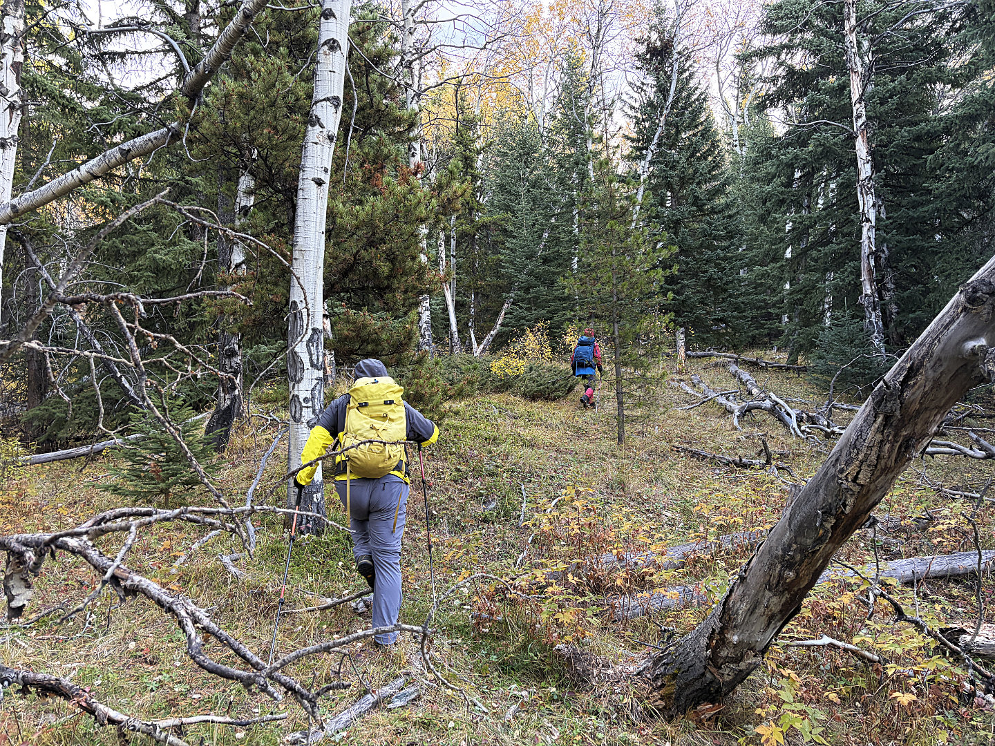 We hiked up easily through a thin forest
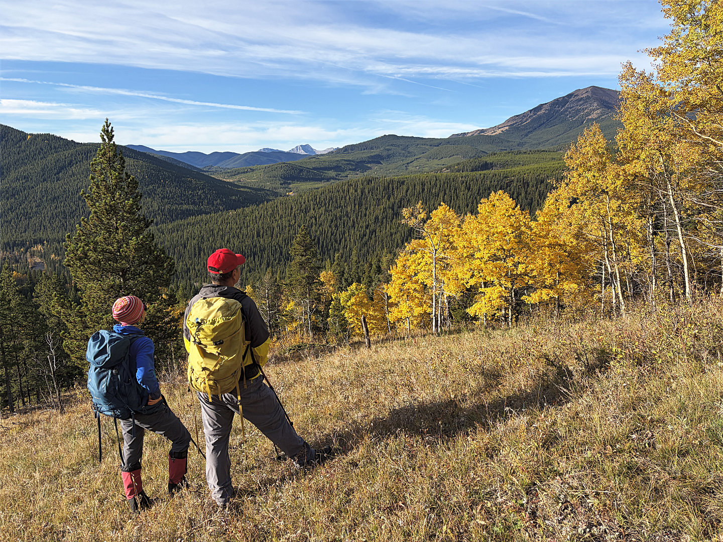 Sugarloaf Lookout
on the right
Sugarloaf Lookout
on the right
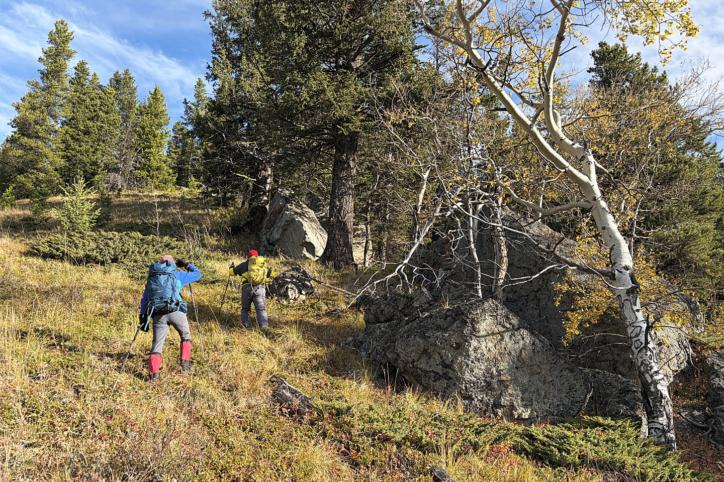 We passed huge boulders on the spur
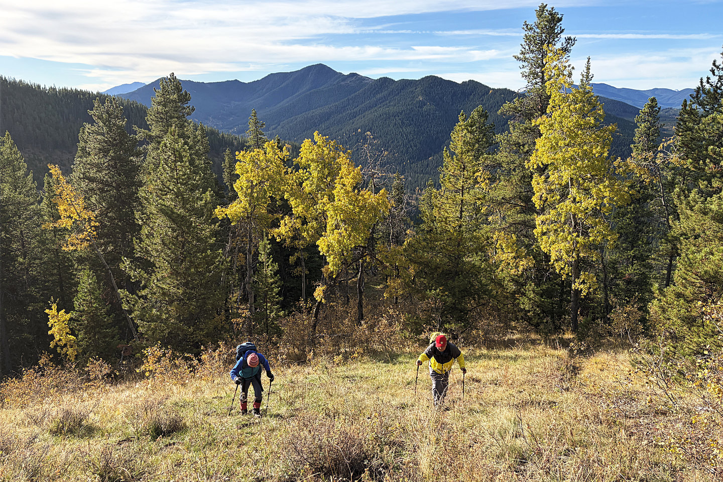 Continuing up the spur
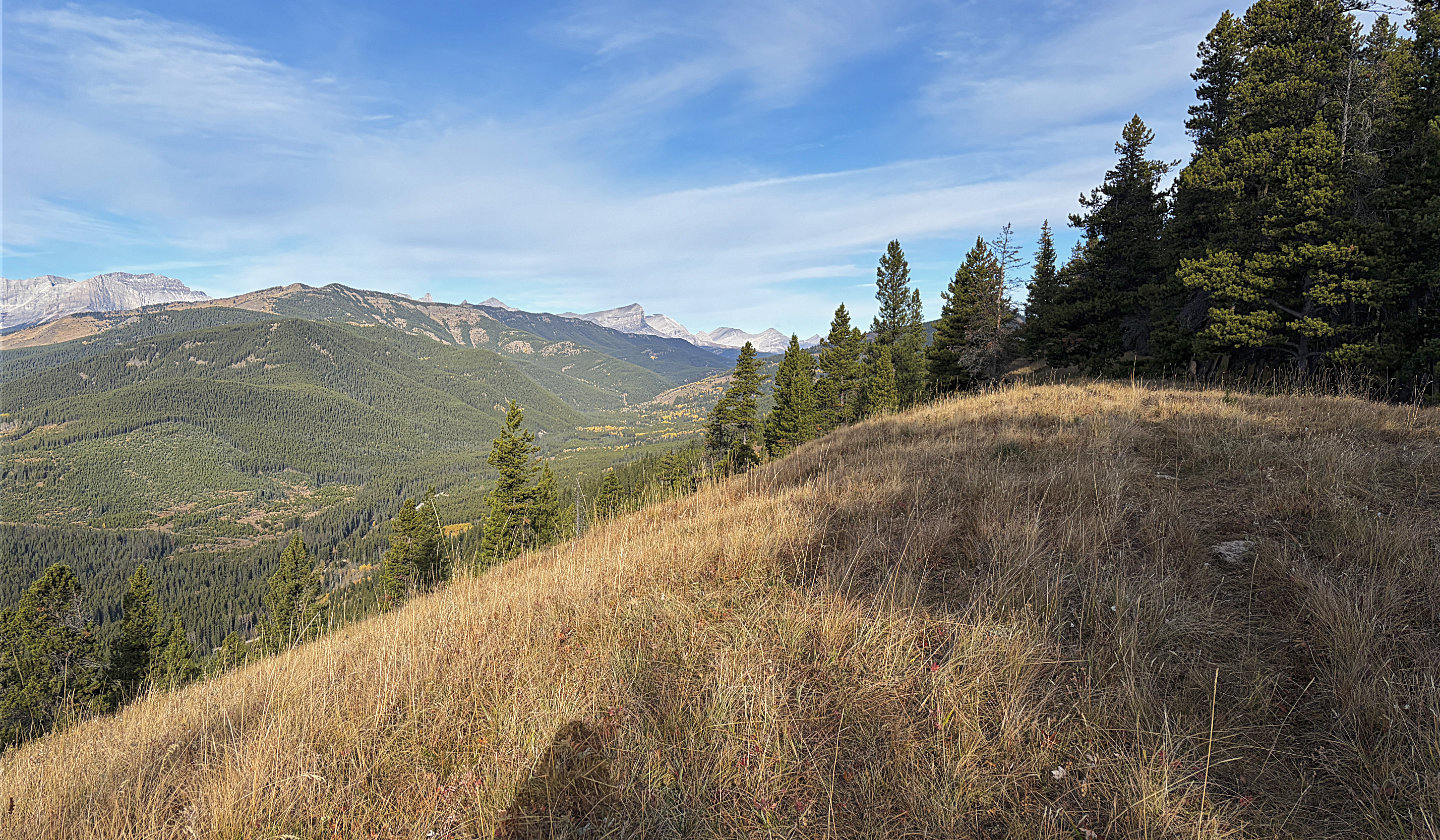 The trail heads into the forest. In the centre are Beehive Mountain, Mount Lyall and Mount Gass (mouse over for
a close-up)
The trail heads into the forest. In the centre are Beehive Mountain, Mount Lyall and Mount Gass (mouse over for
a close-up)
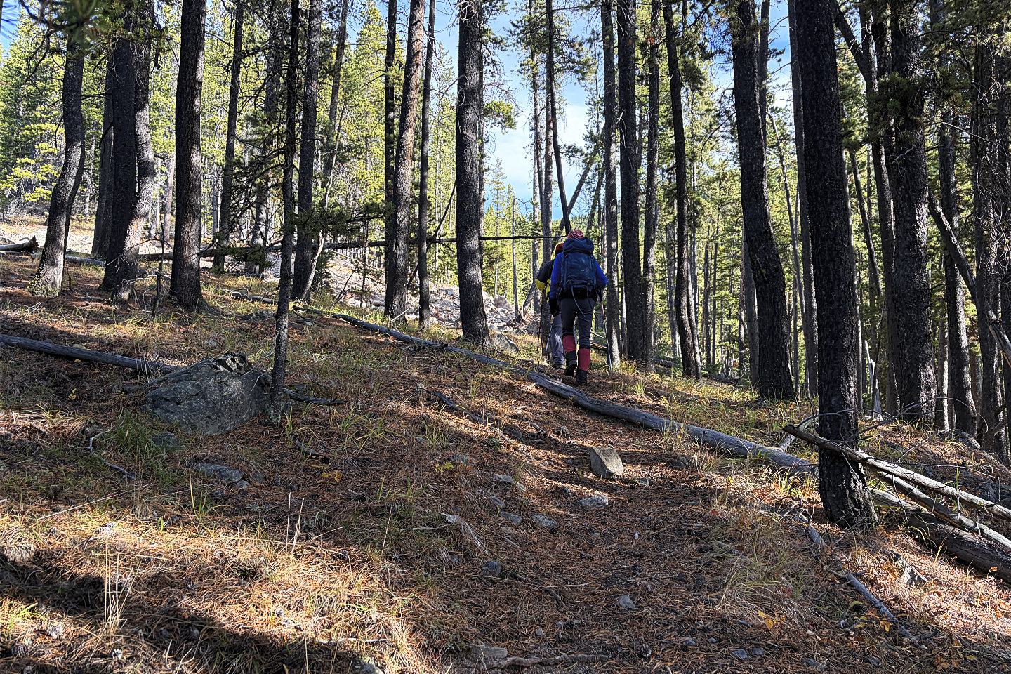 Following the trail in the trees
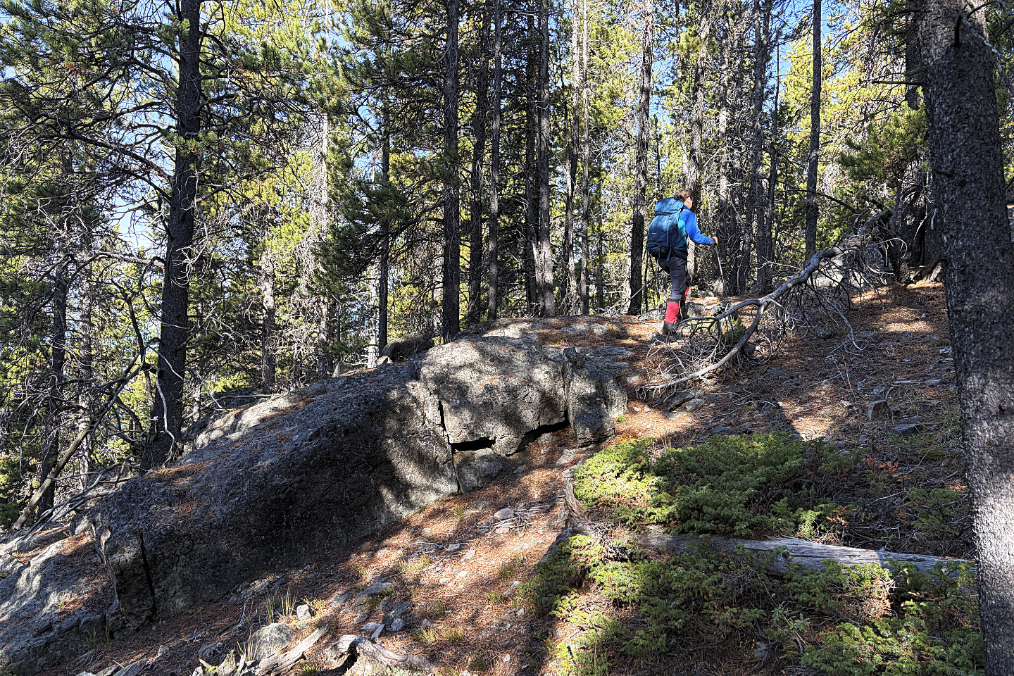 We ascended the rocky ridge although we
avoided it easily for a quick descent
We ascended the rocky ridge although we
avoided it easily for a quick descent
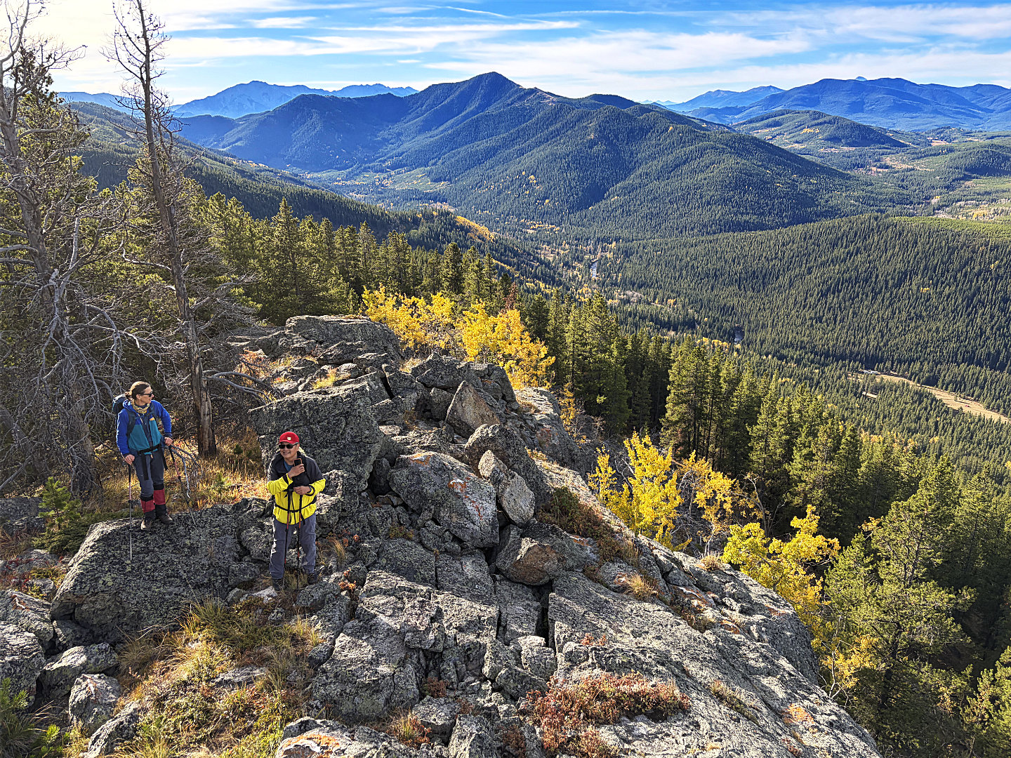 Clambering on the rocks allowed views
including Old Dutch Man Peak behind us
Clambering on the rocks allowed views
including Old Dutch Man Peak behind us
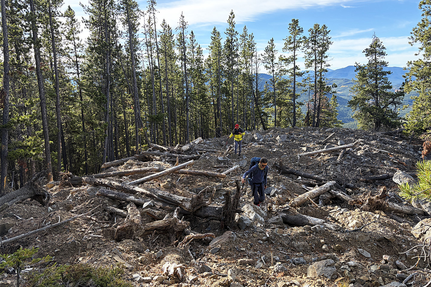 One of several decommissioned roads we
crossed
One of several decommissioned roads we
crossed
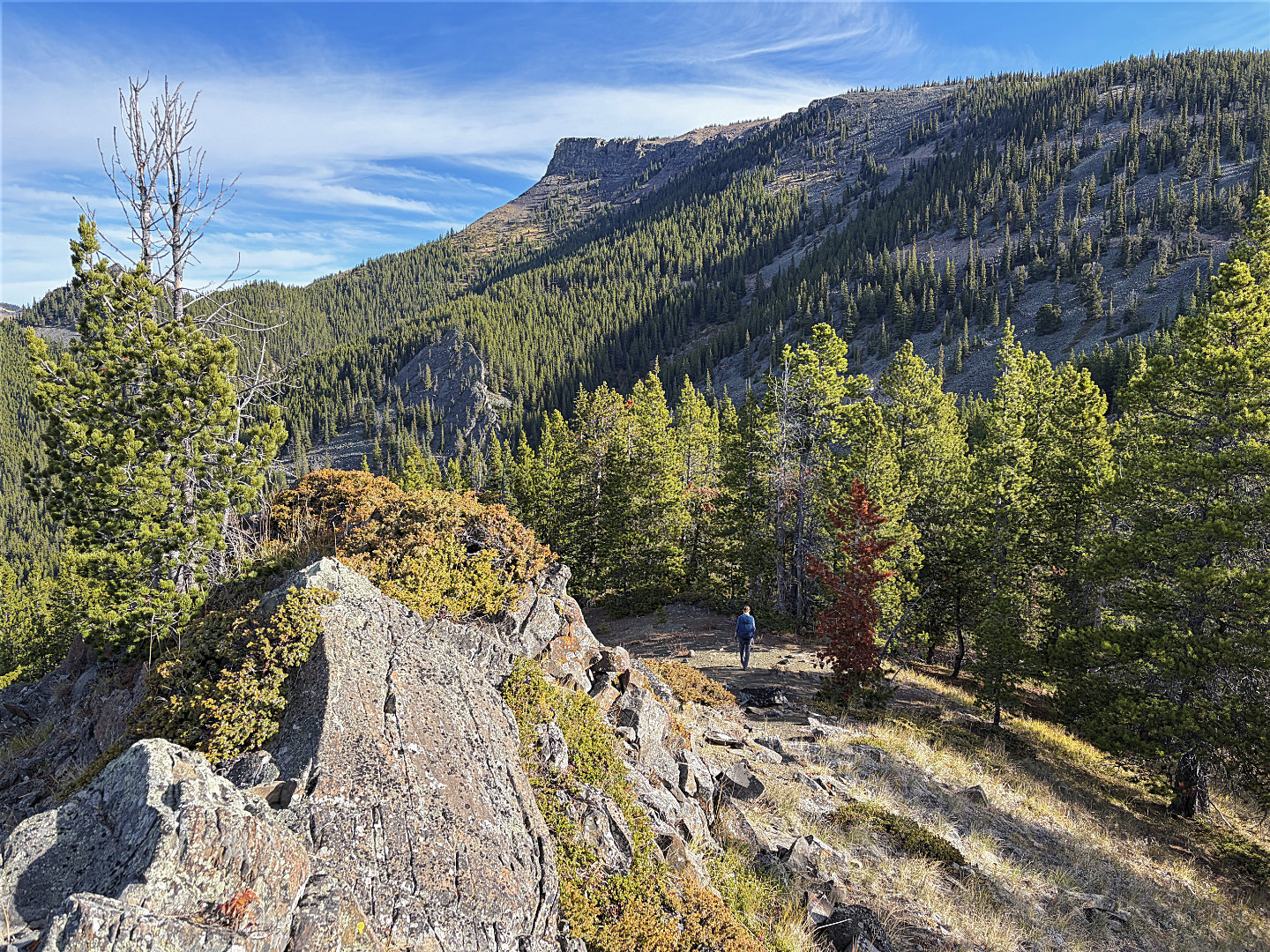 The summit appears ahead
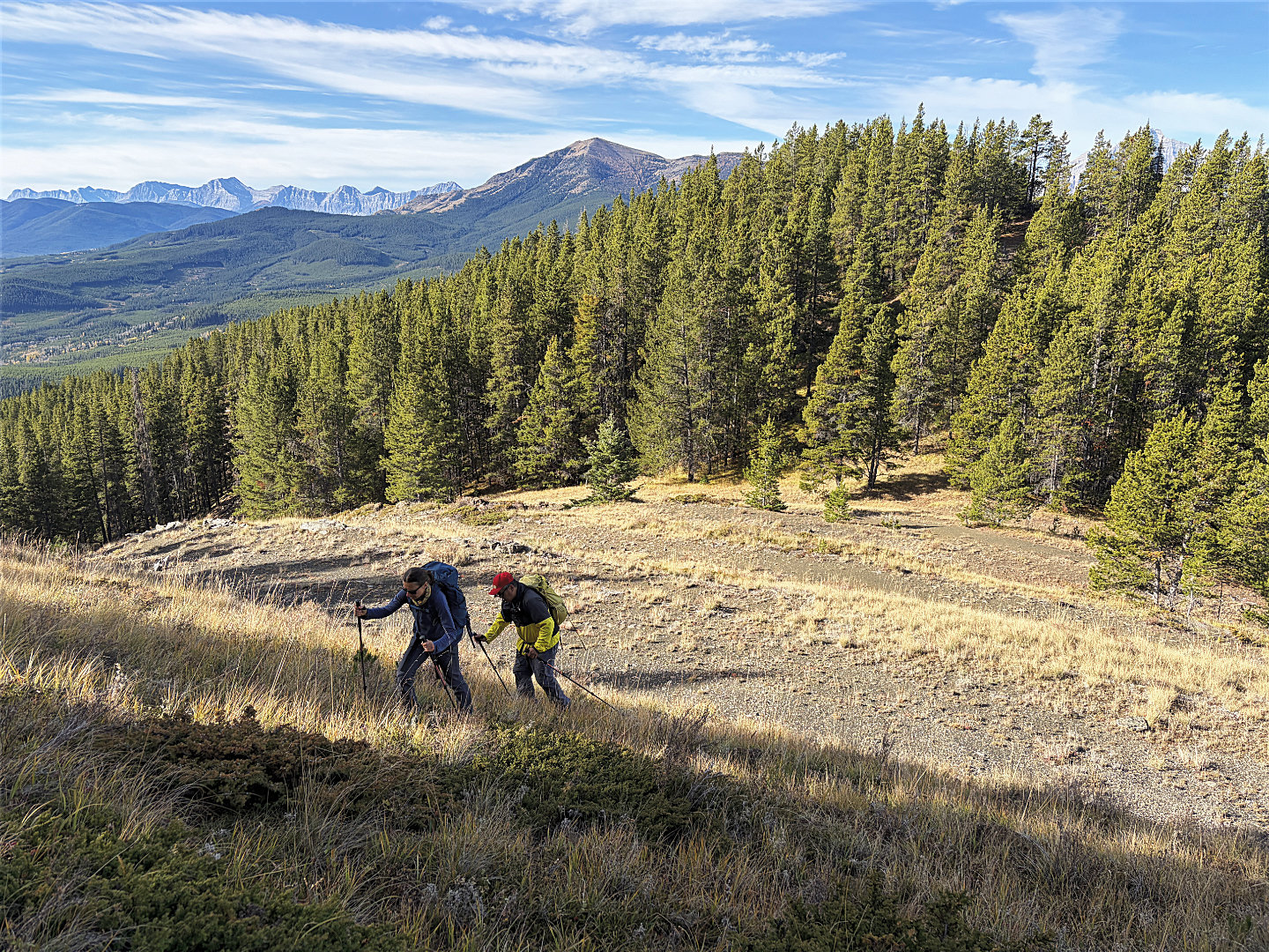 We dropped down to a grassy dip and
continued up the other side
We dropped down to a grassy dip and
continued up the other side
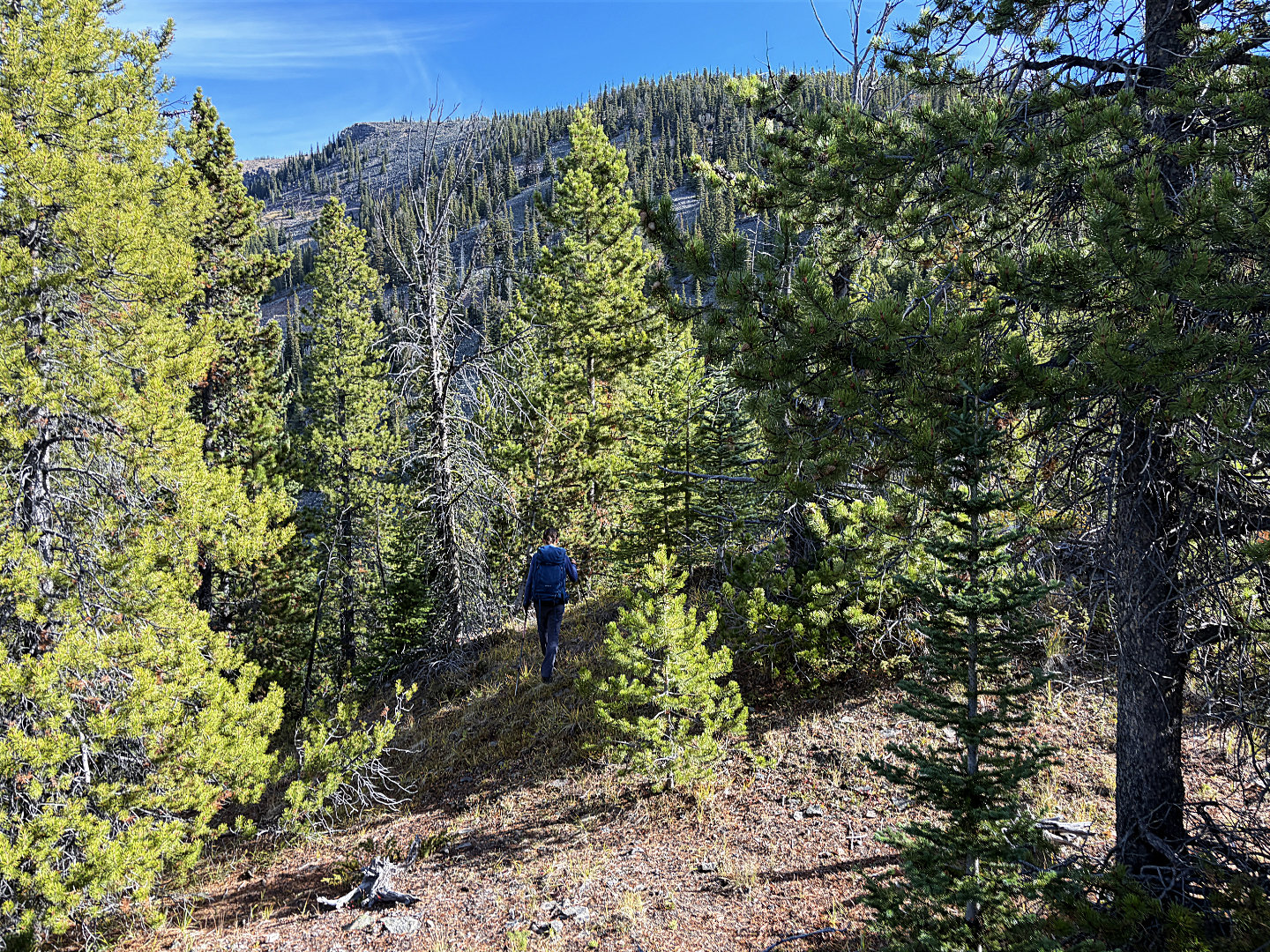 The slope ahead was a mix of light forest,
roads and talus
The slope ahead was a mix of light forest,
roads and talus
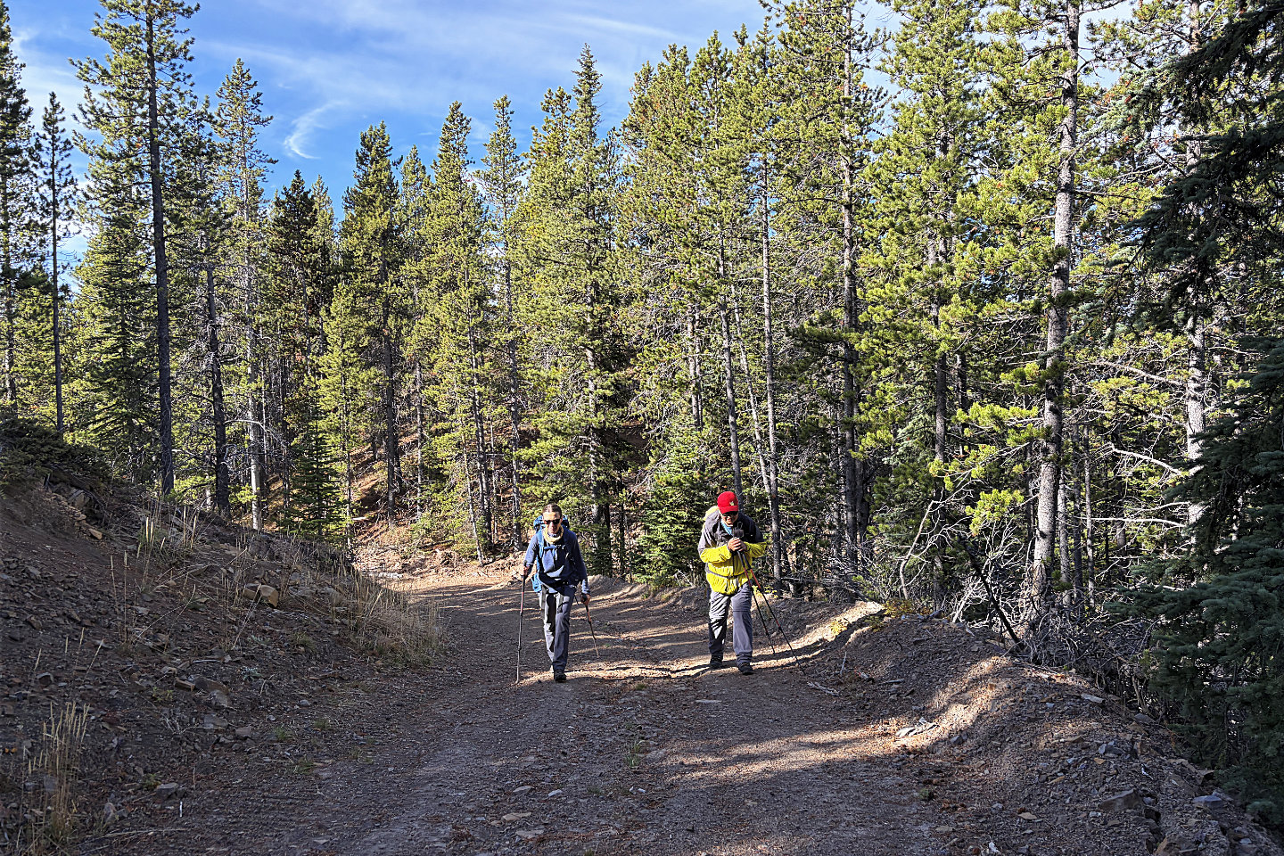 One of a couple of road sections that wasn't
decommissioned
One of a couple of road sections that wasn't
decommissioned
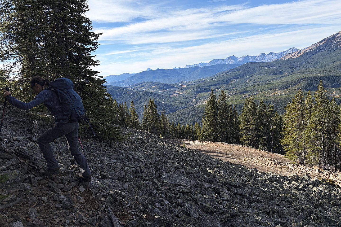 We left the road and started up a brief
talus slope
We left the road and started up a brief
talus slope
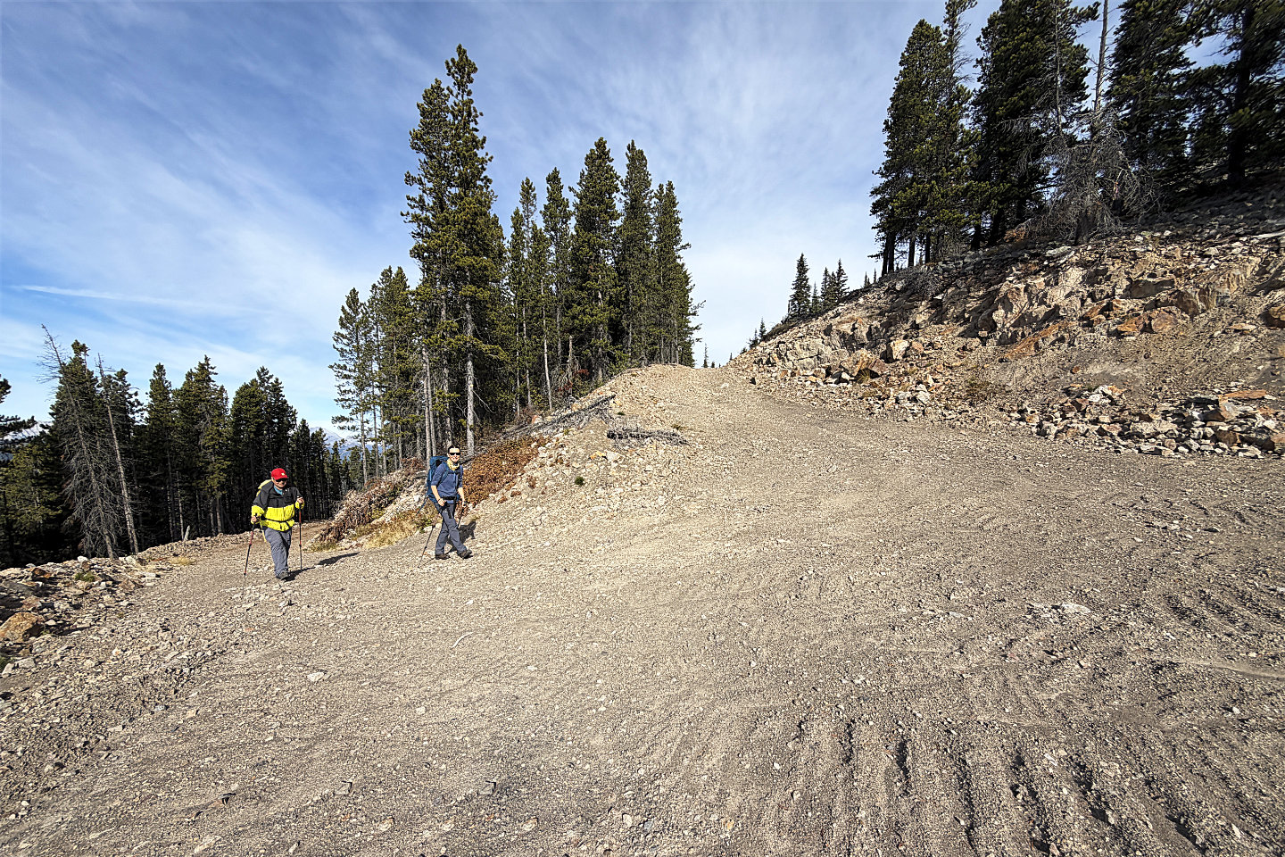 Going up a switchback on a road
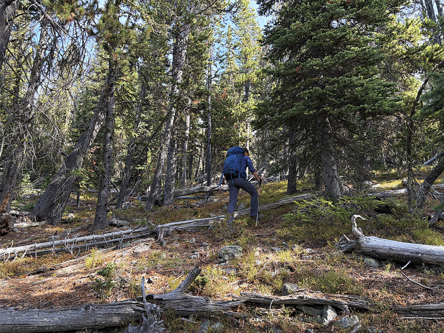 The vegetation thinned as we climbed higher
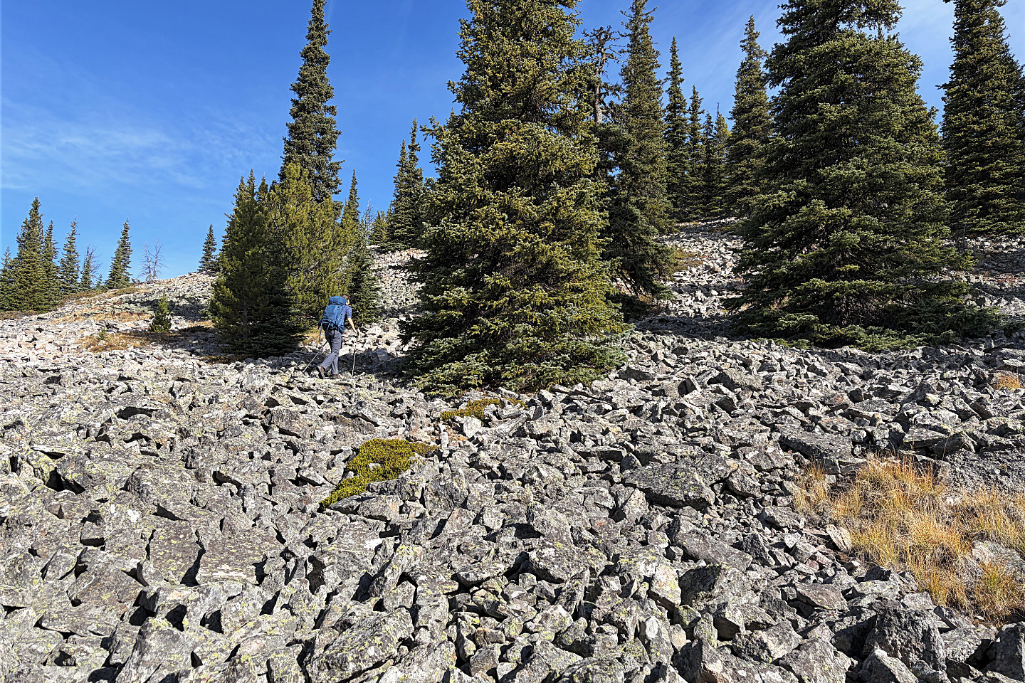 Going up a slope on stable talus
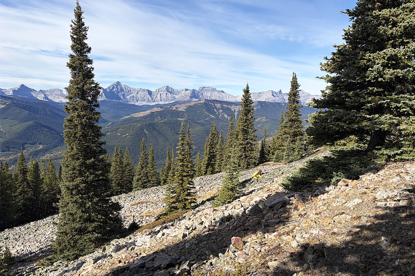 Looking back from the top of the talus slope
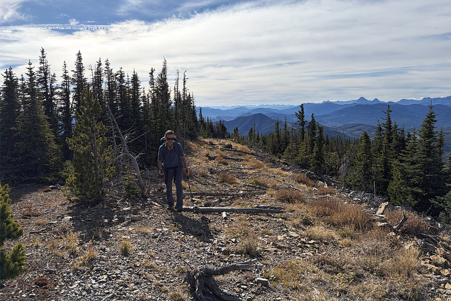 We followed a decommissioned road on the
ridge
We followed a decommissioned road on the
ridge
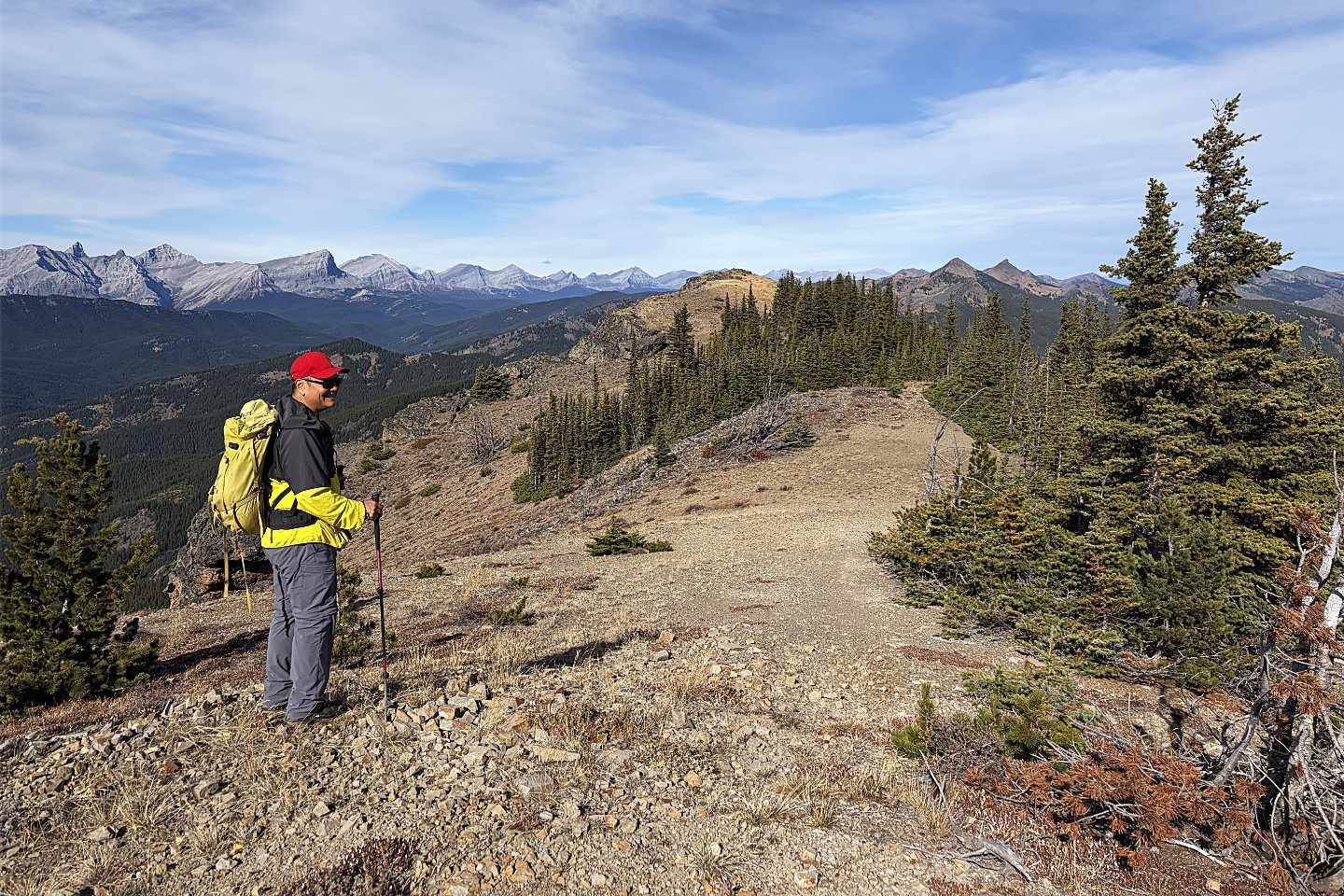 The bare summit lies ahead, just a few
metres higher than this point
The bare summit lies ahead, just a few
metres higher than this point
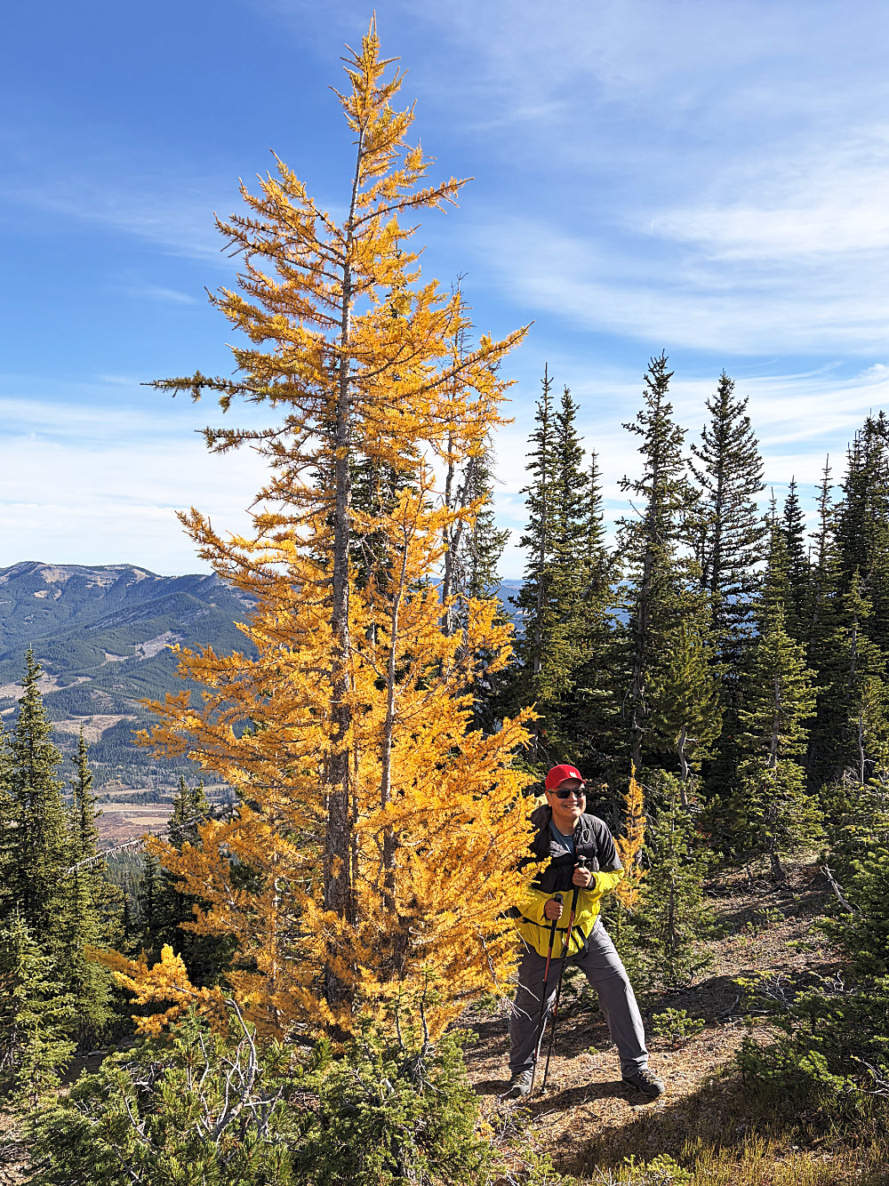
Sonny stands next to a glowing larch
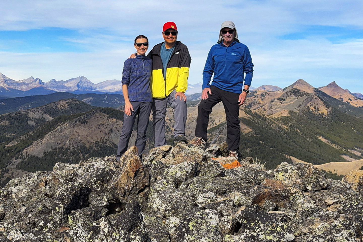 Zosia, Sonny and me on the summit. Cabin
Ridge continues to Twin Peaks
(right).
Zosia, Sonny and me on the summit. Cabin
Ridge continues to Twin Peaks
(right).
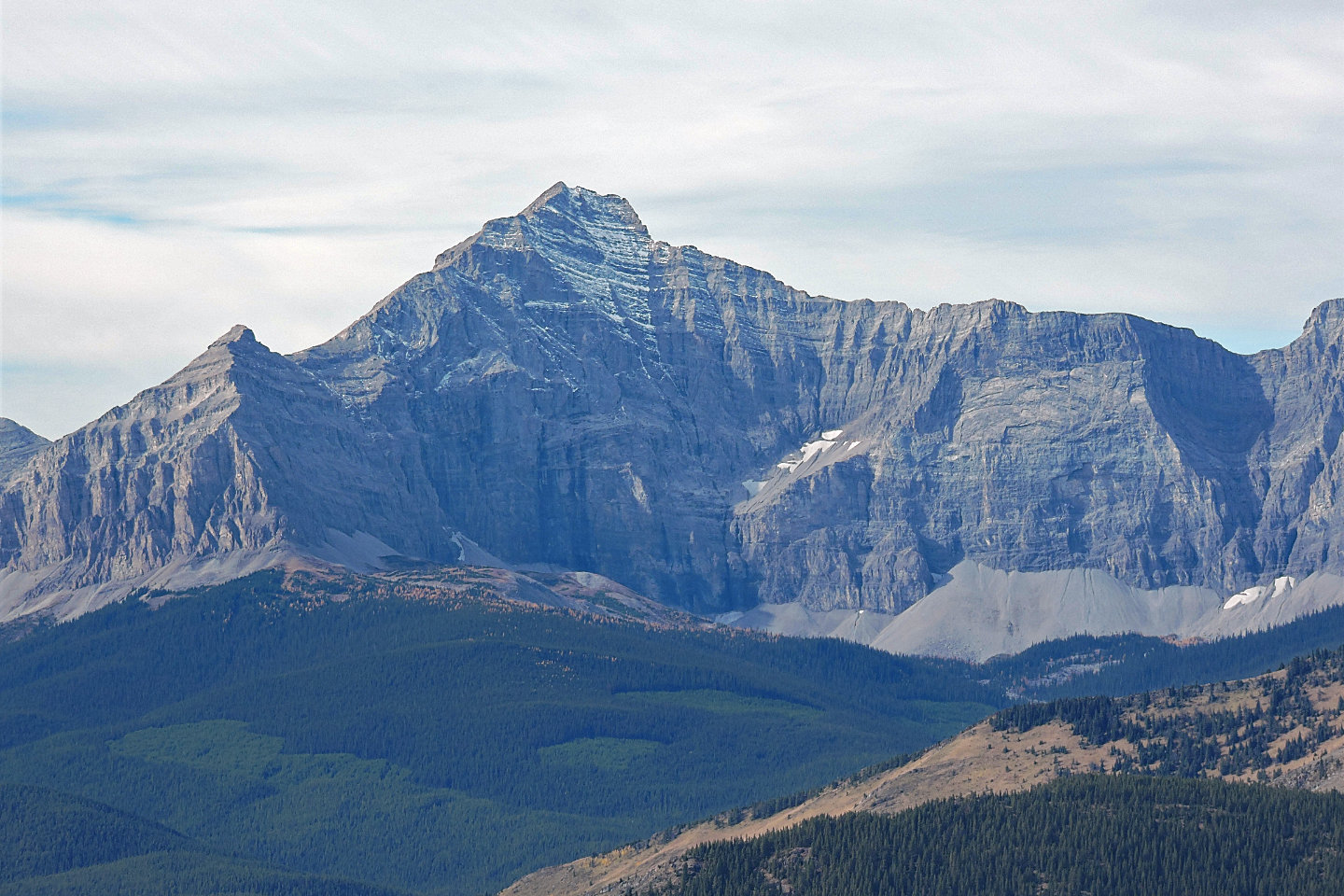
Tornado Mountain lies west
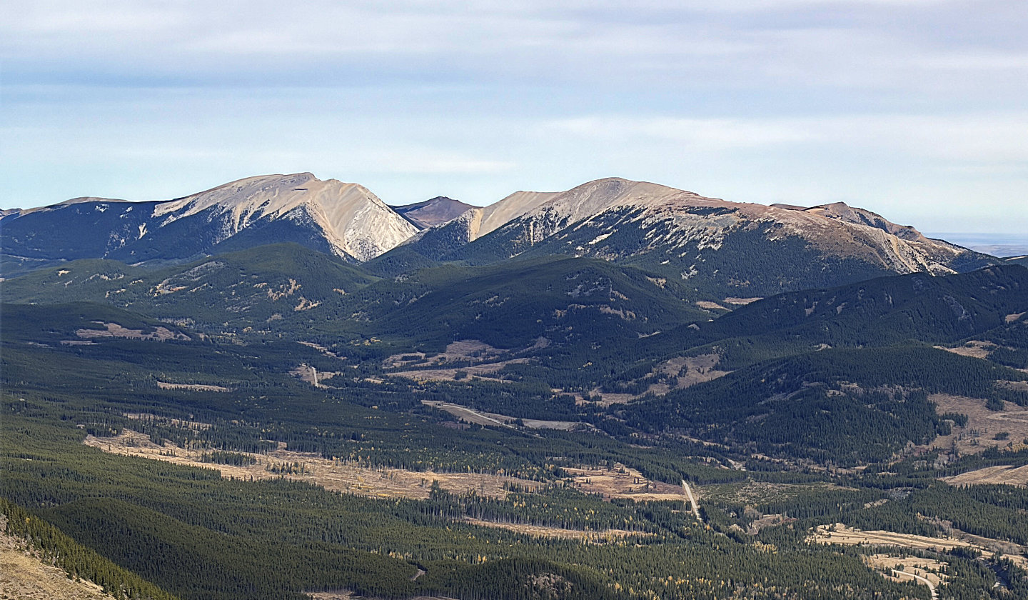 Mount Livingston
and Coffin Mountain sit in front of
Saddle Mountain and
Sheep Mountain
Mount Livingston
and Coffin Mountain sit in front of
Saddle Mountain and
Sheep Mountain
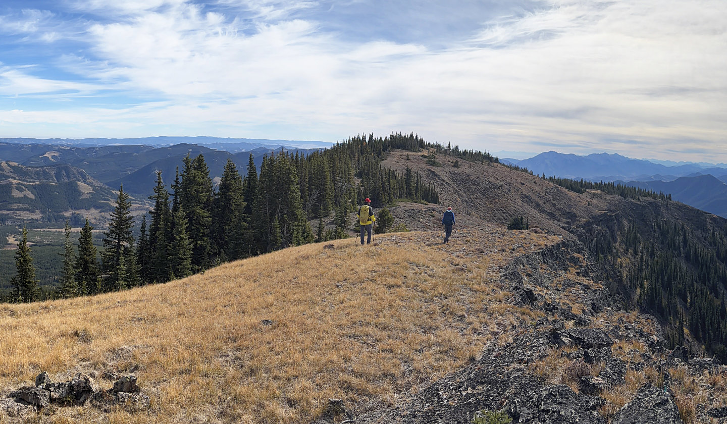 Heading back
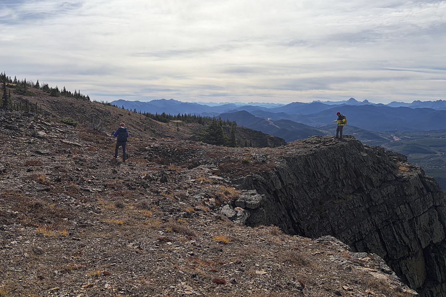 Sonny checks out a cliff projection along
the way
Sonny checks out a cliff projection along
the way
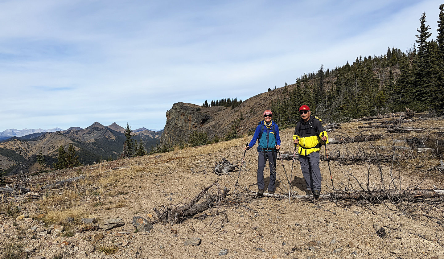 A last look at the summit as we headed back
82 G/16 Maycroft