bobspirko.ca | Home | Canada Trips | US Trips | Hiking | Snowshoeing | MAP | About
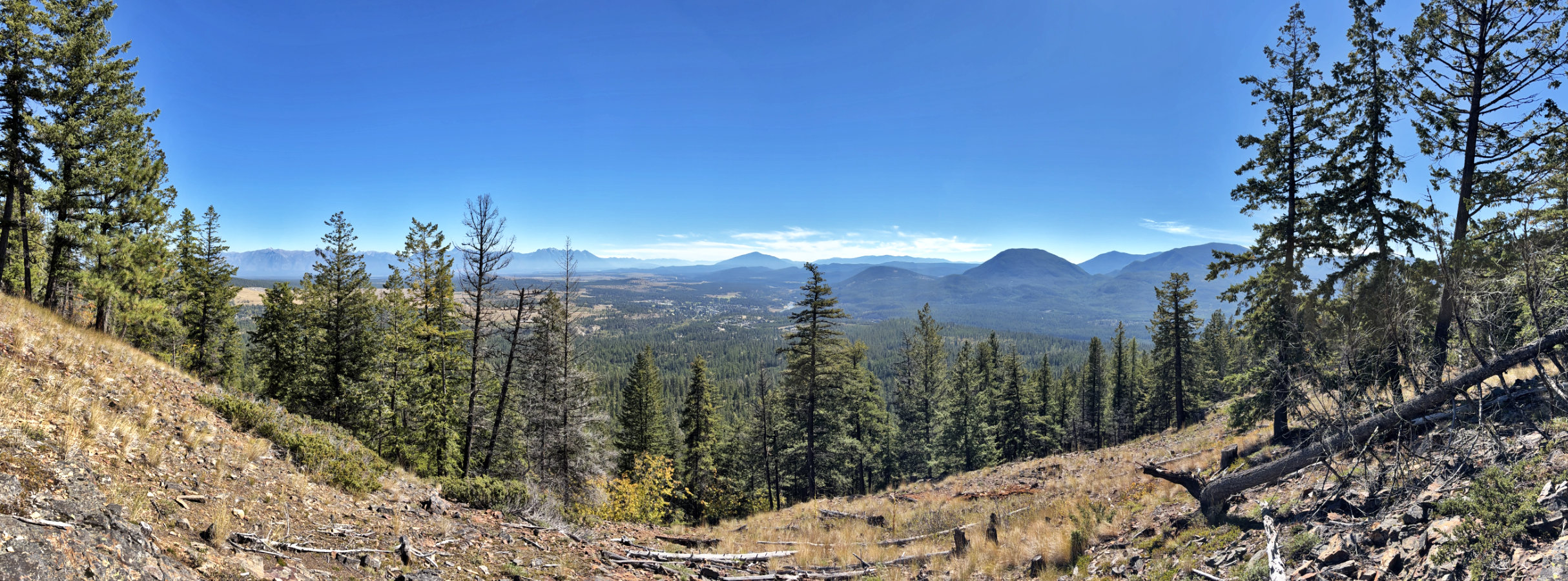 View from Myrtle Mountain Lookout
Myrtle Mountain
Kimberley, B.C.
September 17, 2026
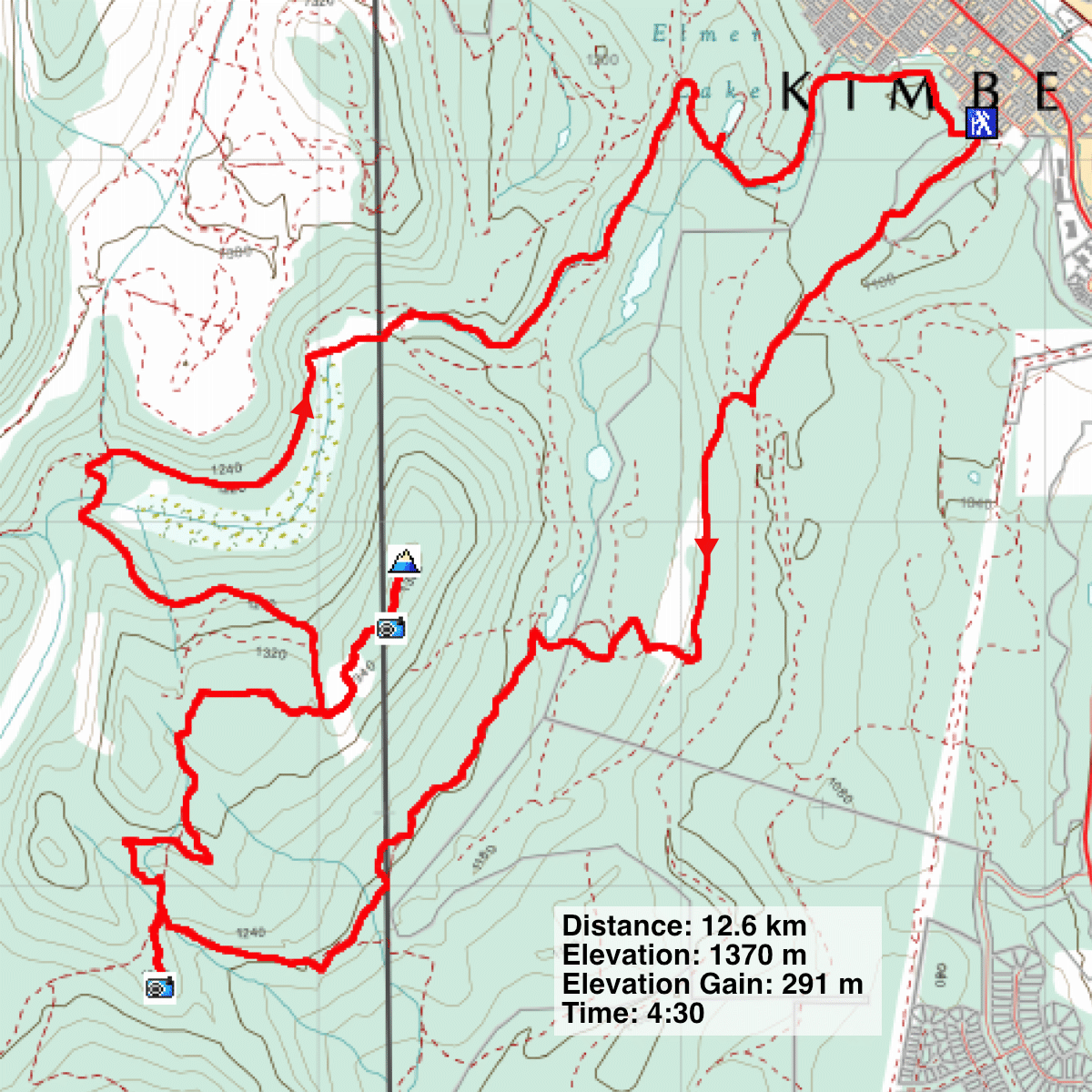
Distance: 12.6 km (7.8 mi)
Cumulative Elevation Gain: 480 m (1575 ft)
Myrtle Mountain offers gentle trails through serene woodlands to two viewpoints. Dinah and I followed the loop route to Myrtle Mountain Lookout described in AllTrails, but extended it to include the summit and a side trip to Sunrise Hill Lookout.
The trailhead has no parking lot, so we parked in front of a house. We wondered if this was an issue until the homeowner got in her car and waved at us as she left.
Two trails are here, metres apart. We started up the broad trail on the left, paying close attention to the numerous junctions, checking often to take the correct turns. The route was a mix of single tracks, double tracks and roads. There was little to see in the forest, and we only caught glimpses of Myrtle Mountain. However, the forest was fascinating, varying from dense stands to widely spaced pines. Among them were ponderous pines and larches.
After hiking for nearly an hour and a half, we reached a T-intersection for S.W. Passage. We turned left, and shortly after, turned onto the brief trail to Sunrise Hill Lookout. From the rocky top, we had a fine view looking south. After a break, we returned to S.W. Passage and continued up Myrtle Mountain.
At the next T-intersection, Mountain Mine Road, we kept right and hiked to Myrtle Mountain Lookout, which has much the same view as Sunrise Hill Lookout. The trail ends at the lookout, but we walked 200 m further to the summit. Surrounded by trees, there are no views, and we soon turned around.
The rest of the trip was a pleasant walk through the forest. We followed Mountain Mine Road down to Army Road, the longest trail on our route. We stopped briefly at Elmer’s Lake before continuing another kilometre back to our car.
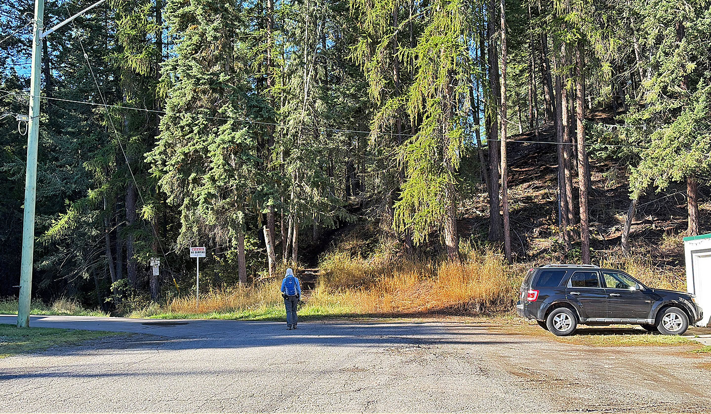 The signed ascent trail is left, and the descent trail is in front of Dinah
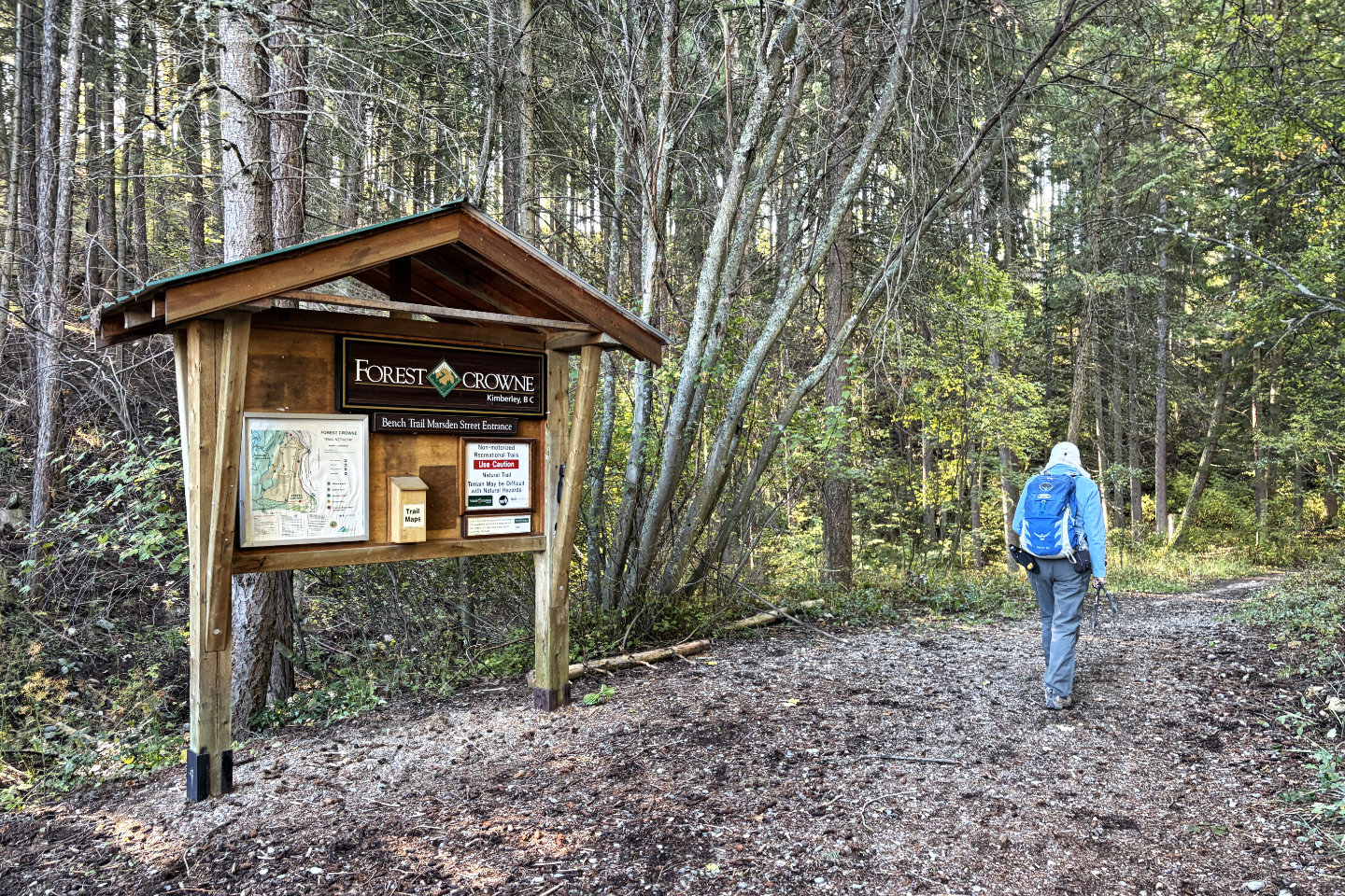 A sign offers trail maps
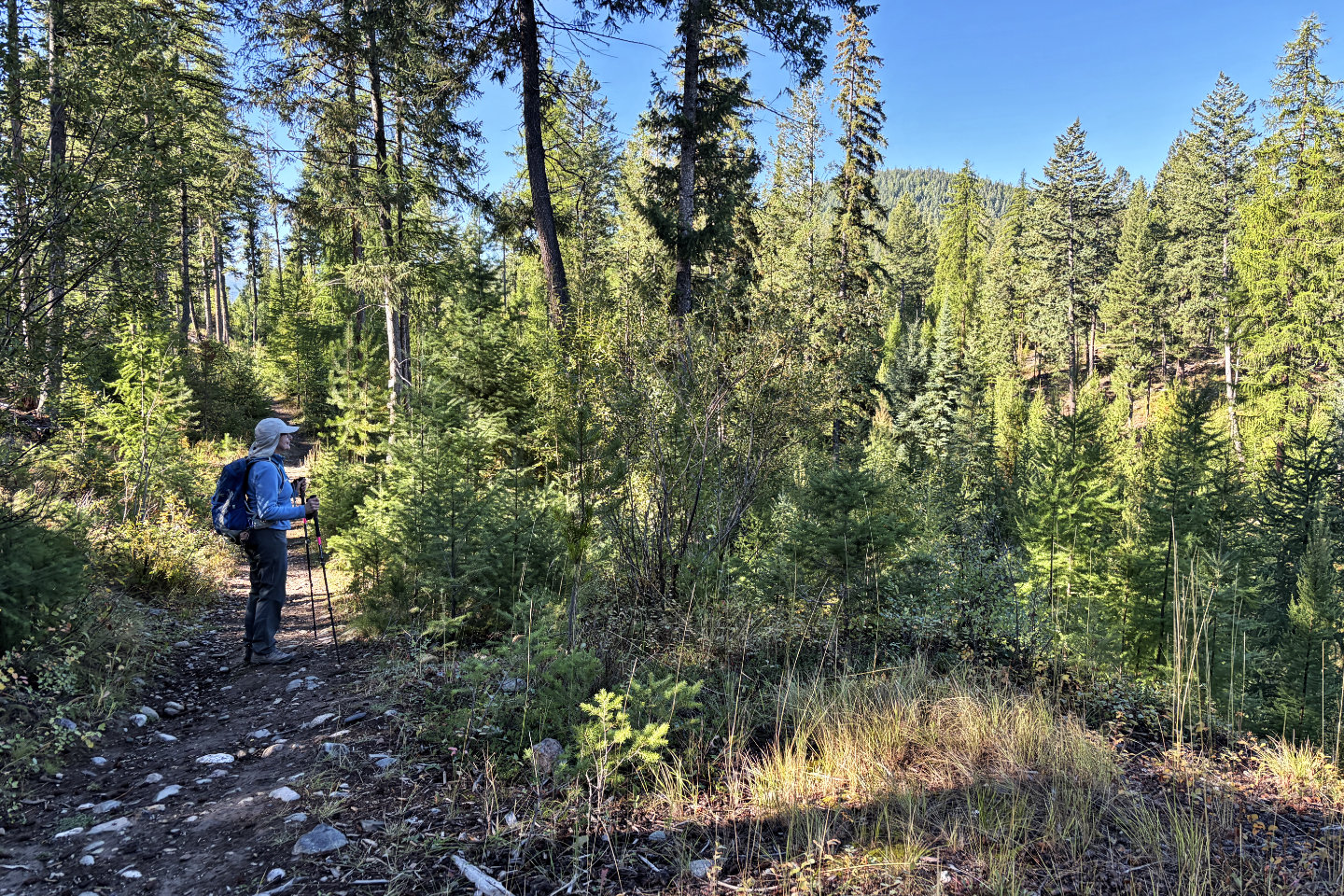 A few minutes into the hike, we got a glimpse of the backside of the mountain
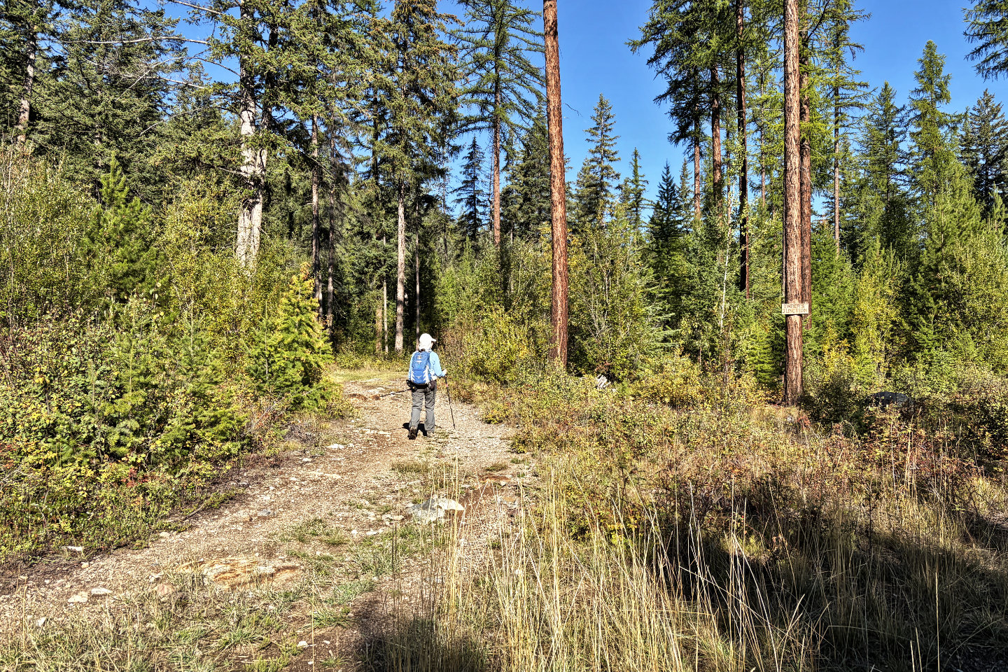 We turned right at Ember's Junction
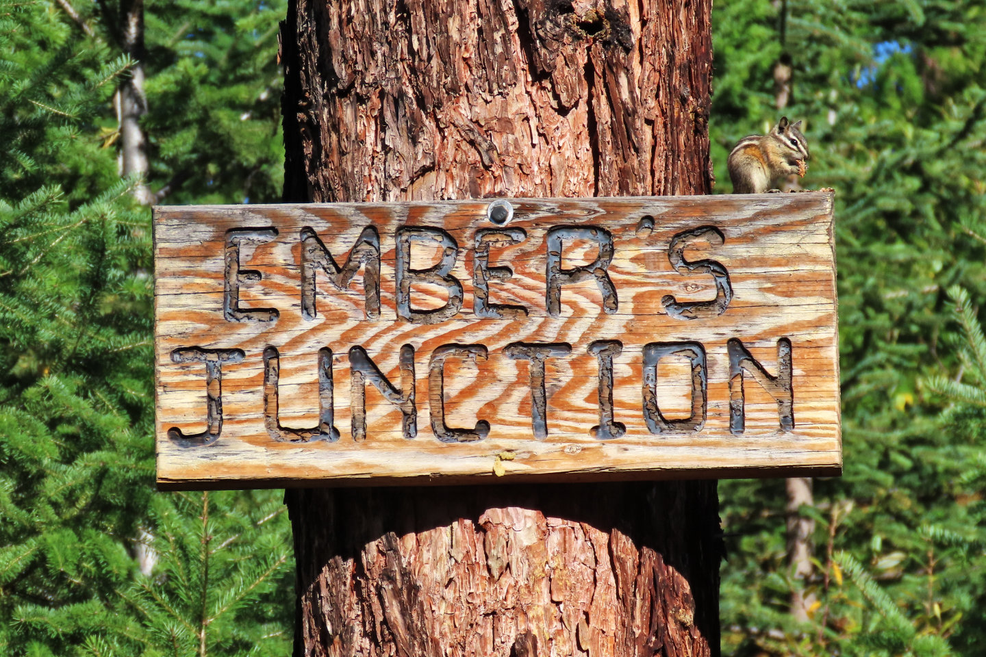 A chipmunk feeds on the signpost (mouse over for a close-up)
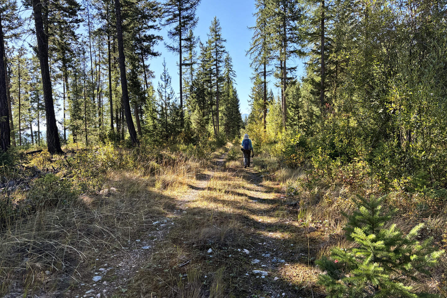 Continuing up the trail
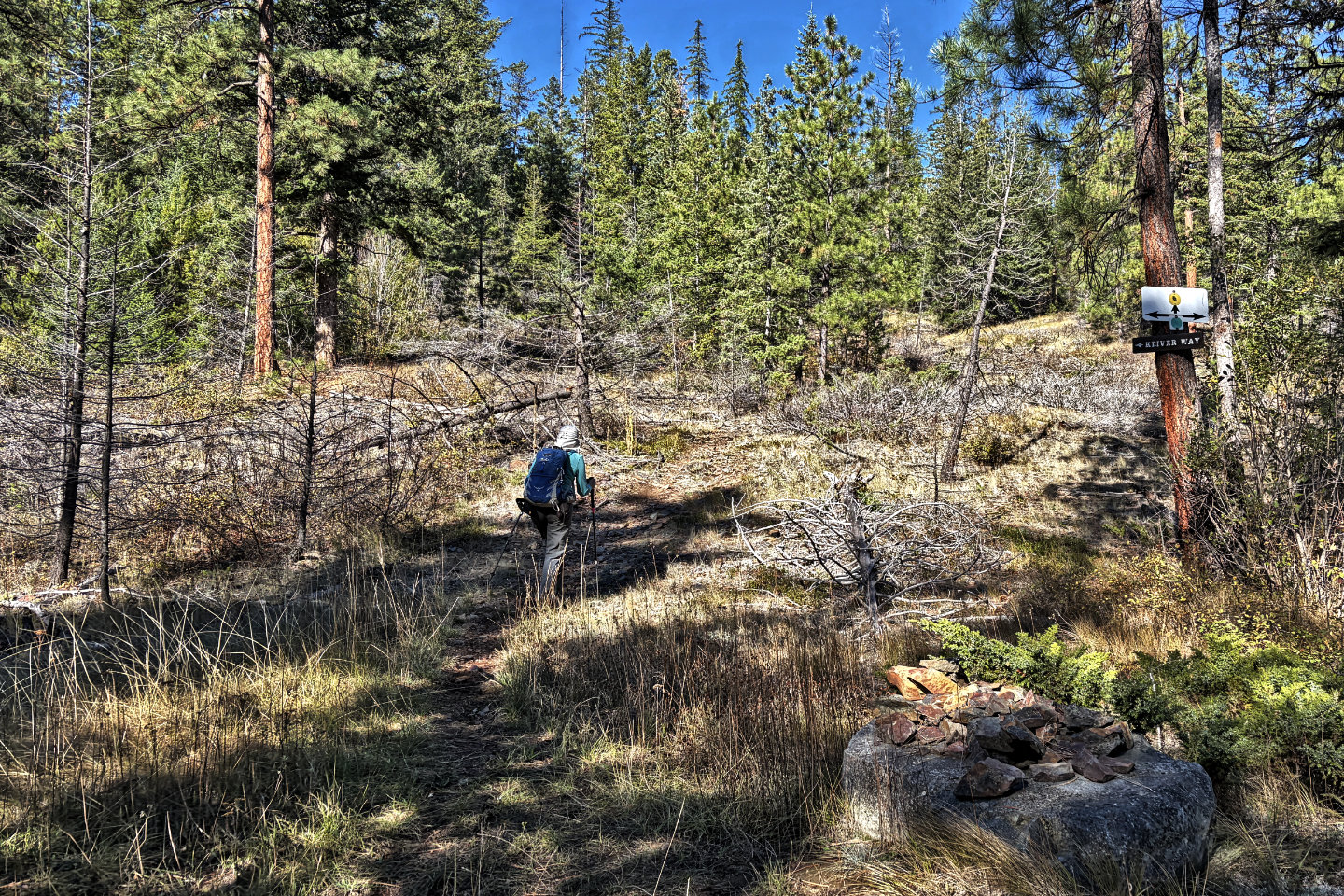 We turned left onto Kliver Way
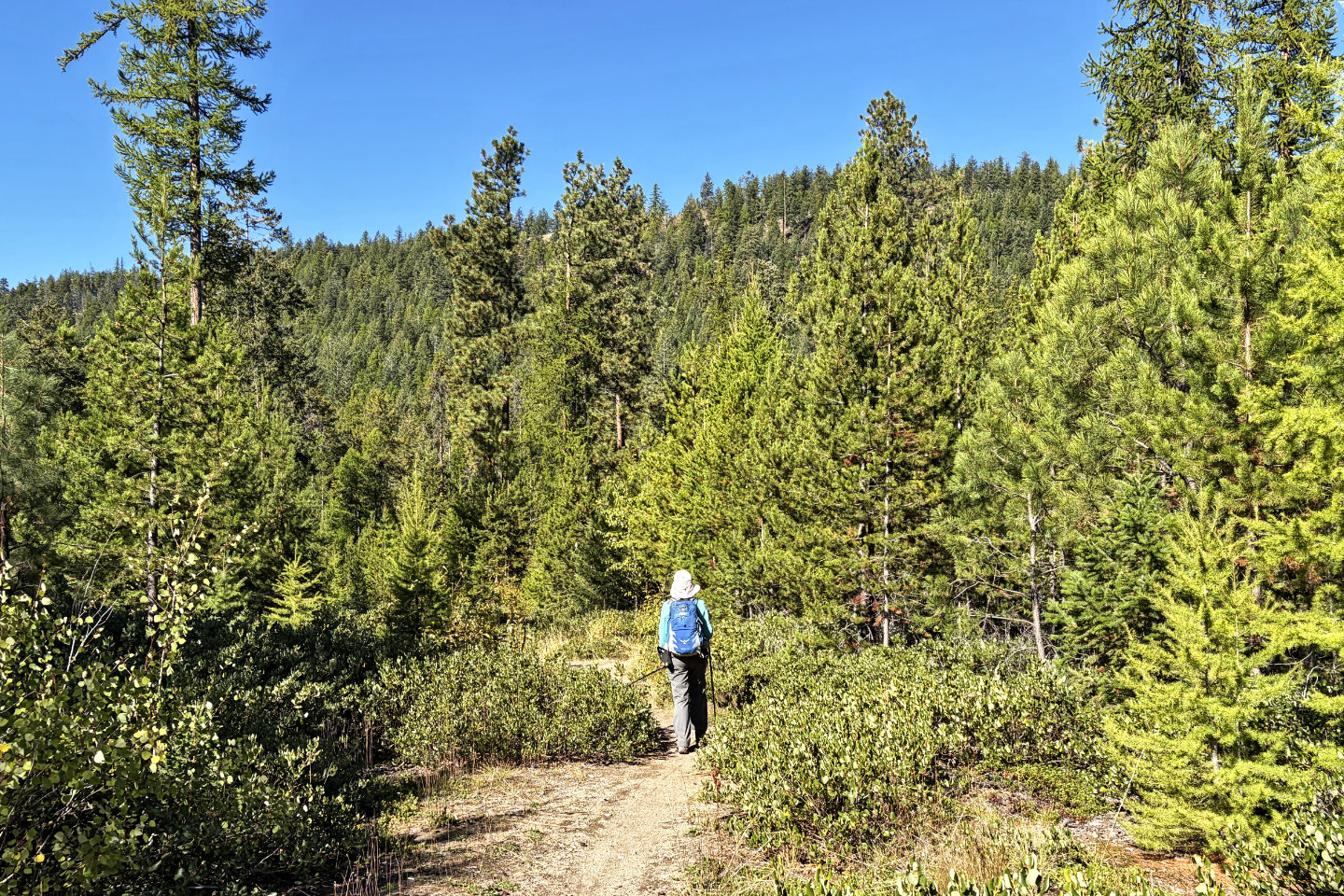 We caught sight of the summit
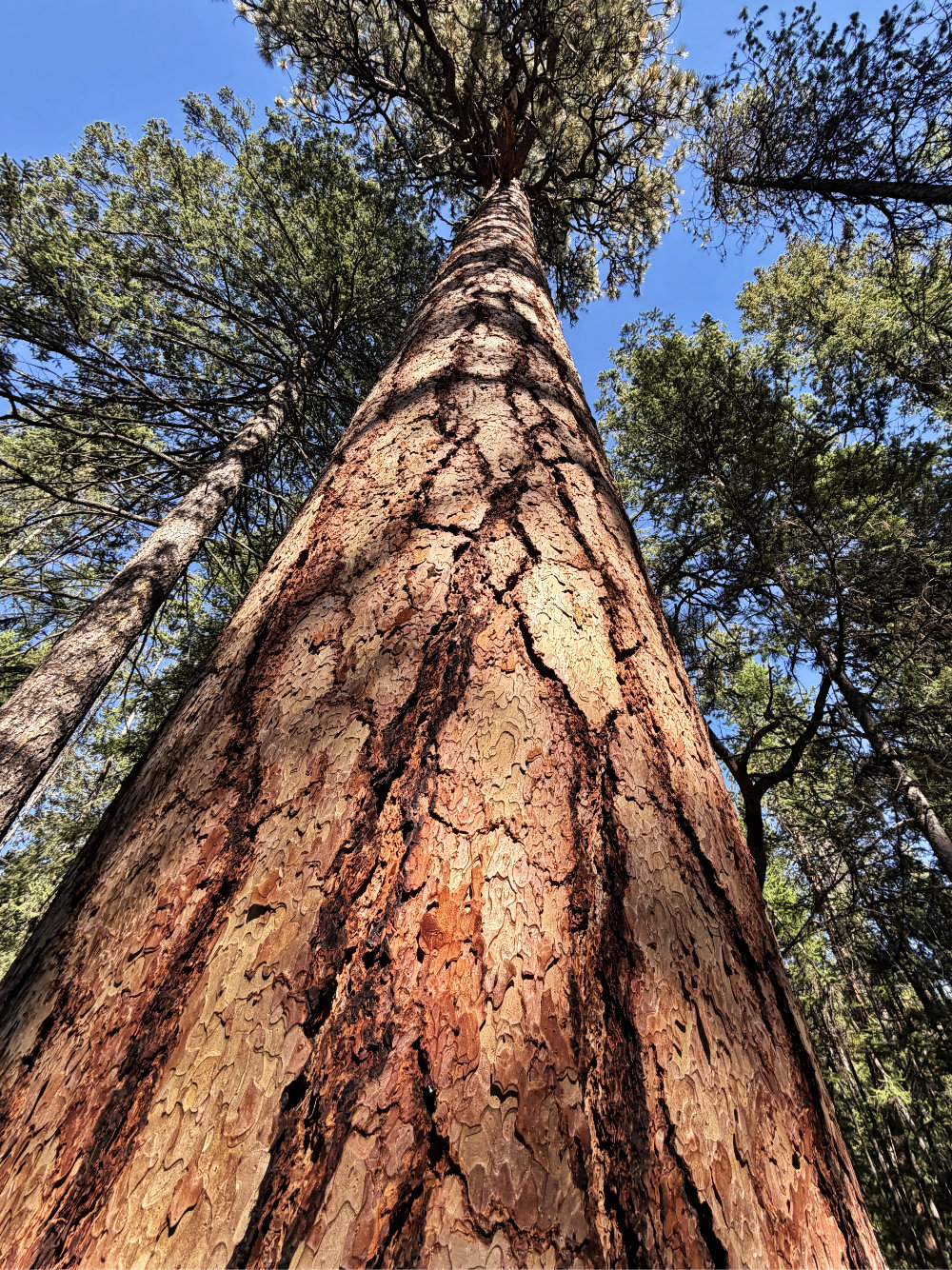
Looking up at a ponderosa pine
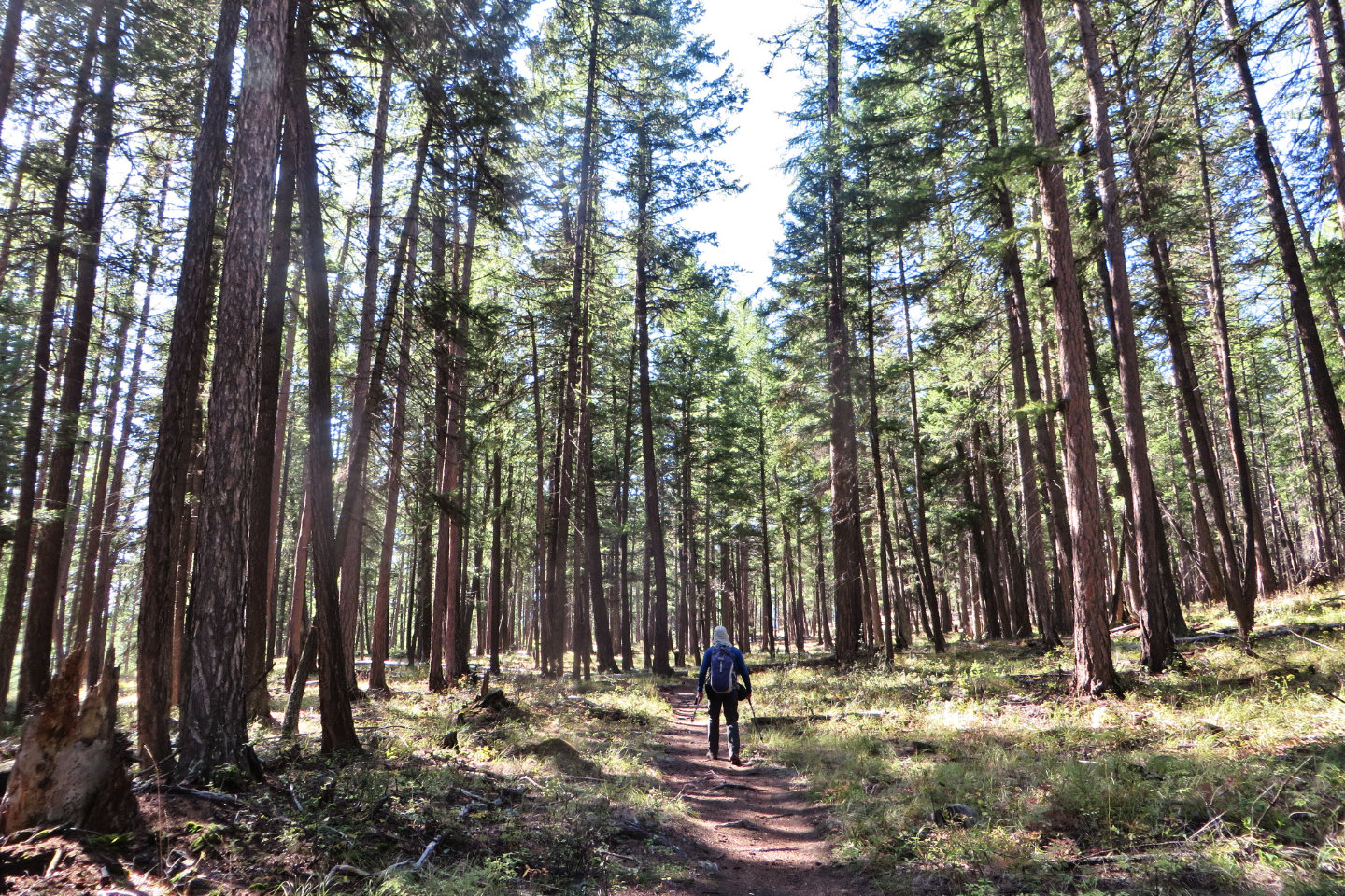 Duck Pond Trail runs through a thin forest.
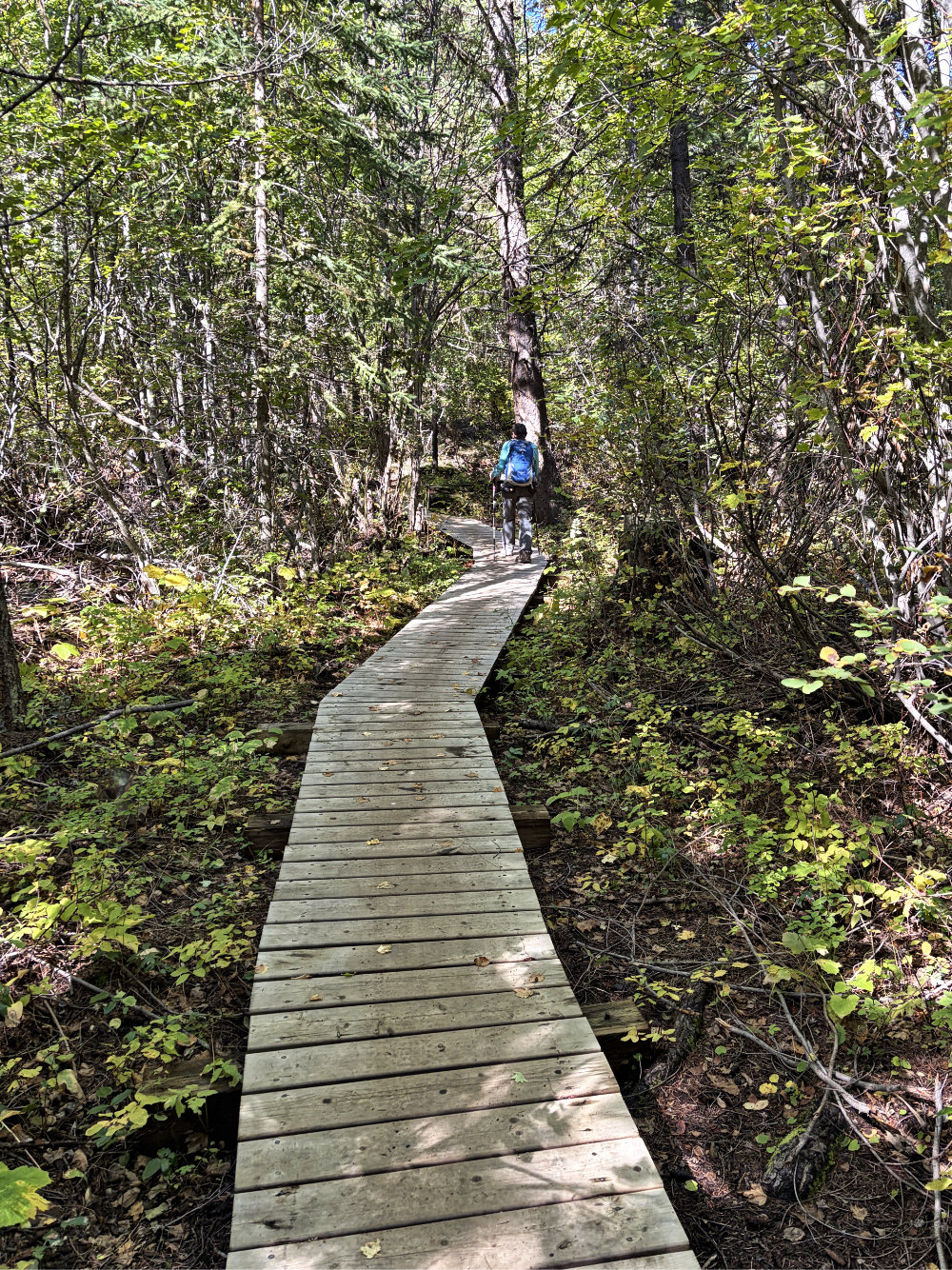
We crossed a boardwalk on Skid Road
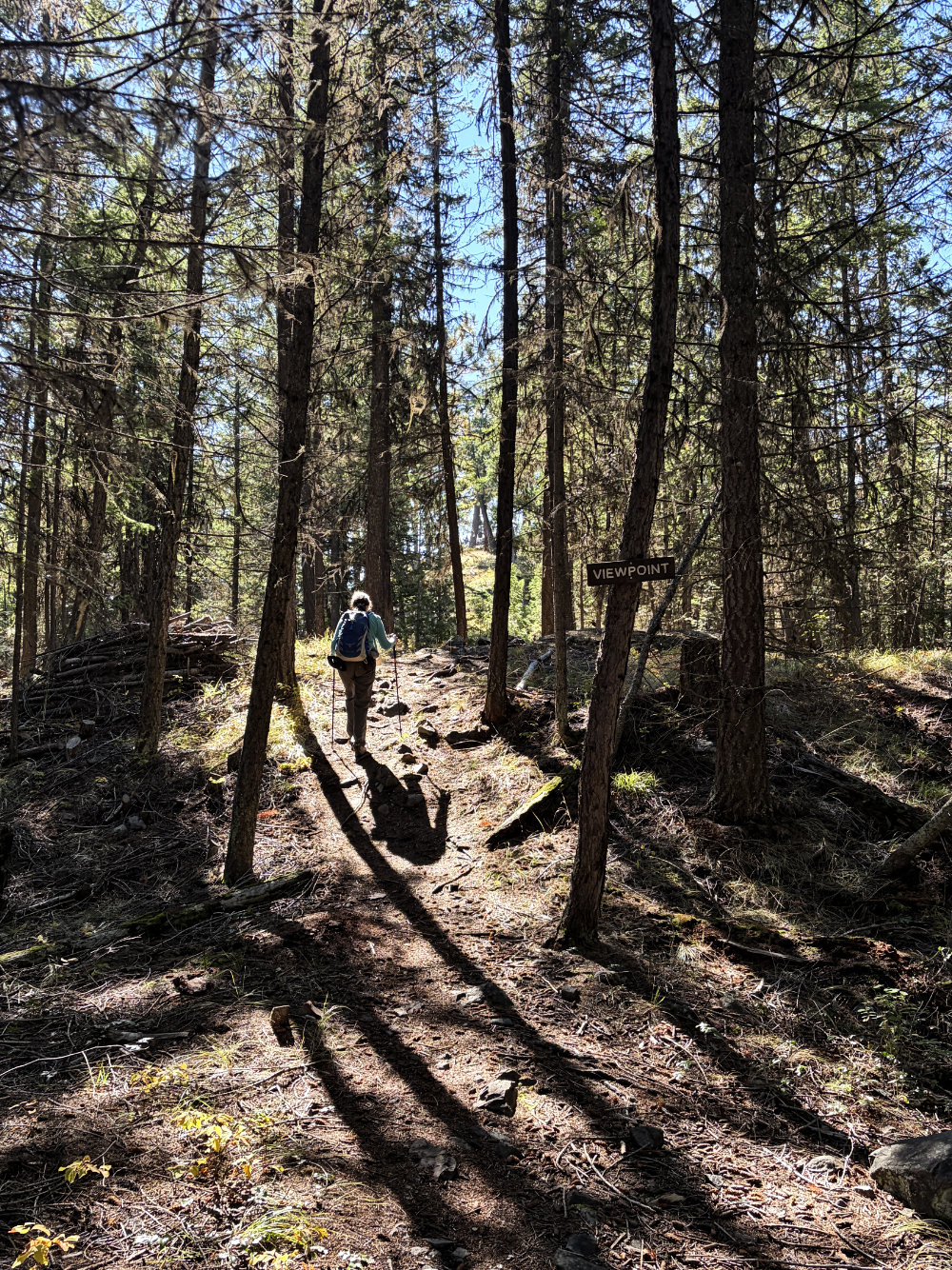
Taking the trail to Sunrise Hill Lookout
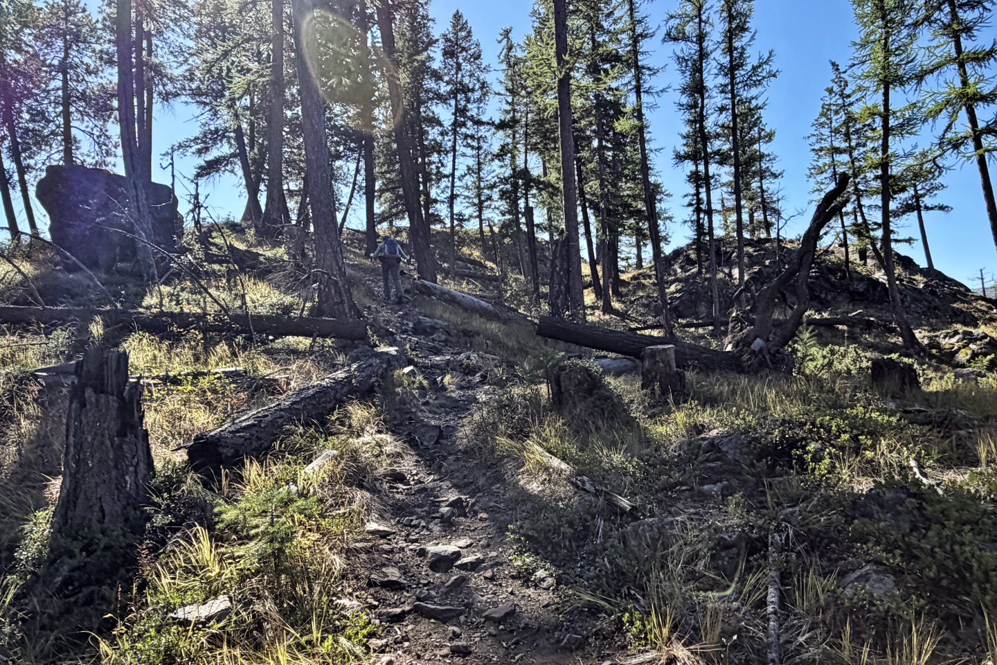 The trail reaches a small, rocky bump
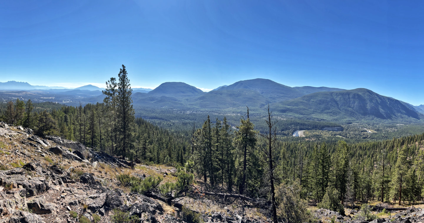 Looking south at unnamed hills
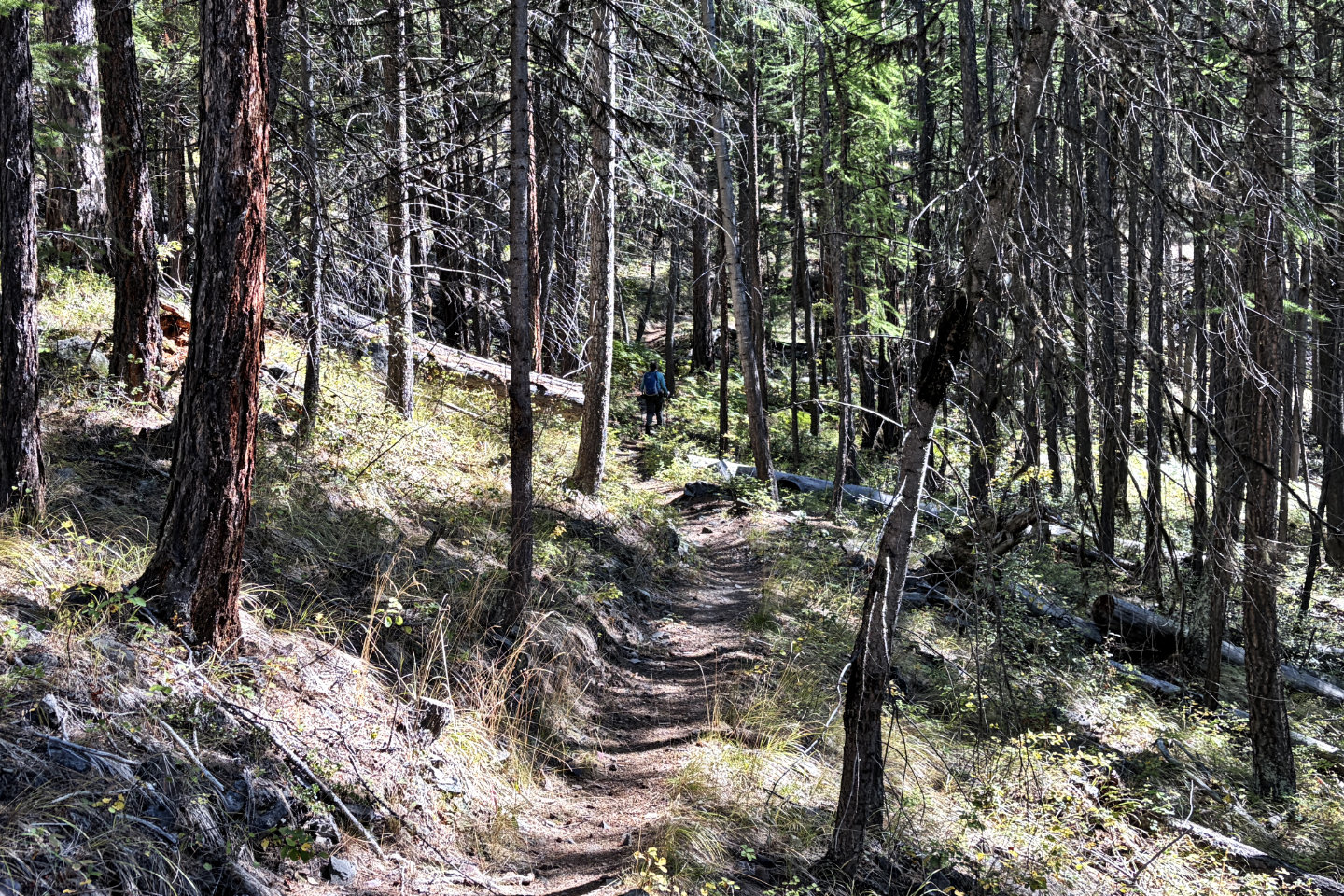
After the viewpoint, we continued up S.W. Passage
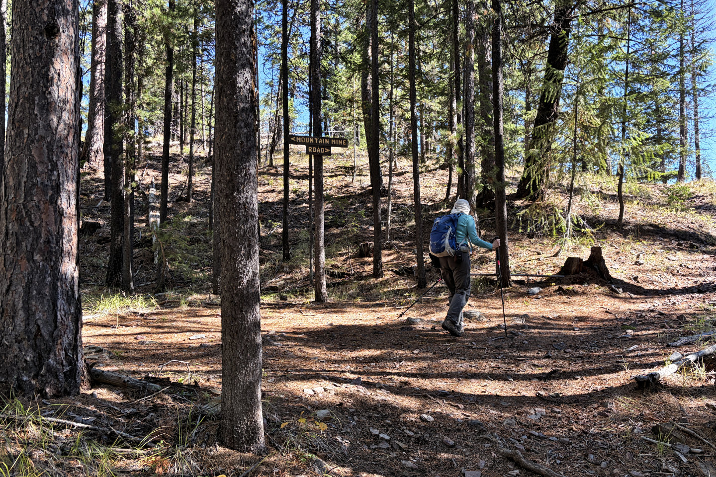 We turned right on Mountain Mine Road to Myrtle Mountain Lookout and the summit. We'll return here to continue left down the road.
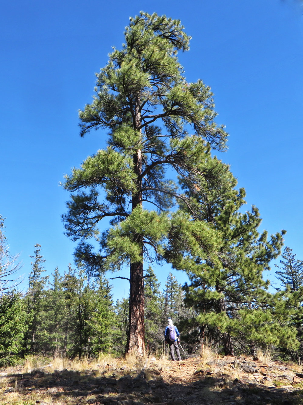
On the way to the lookout, we walked under a tall pine tree
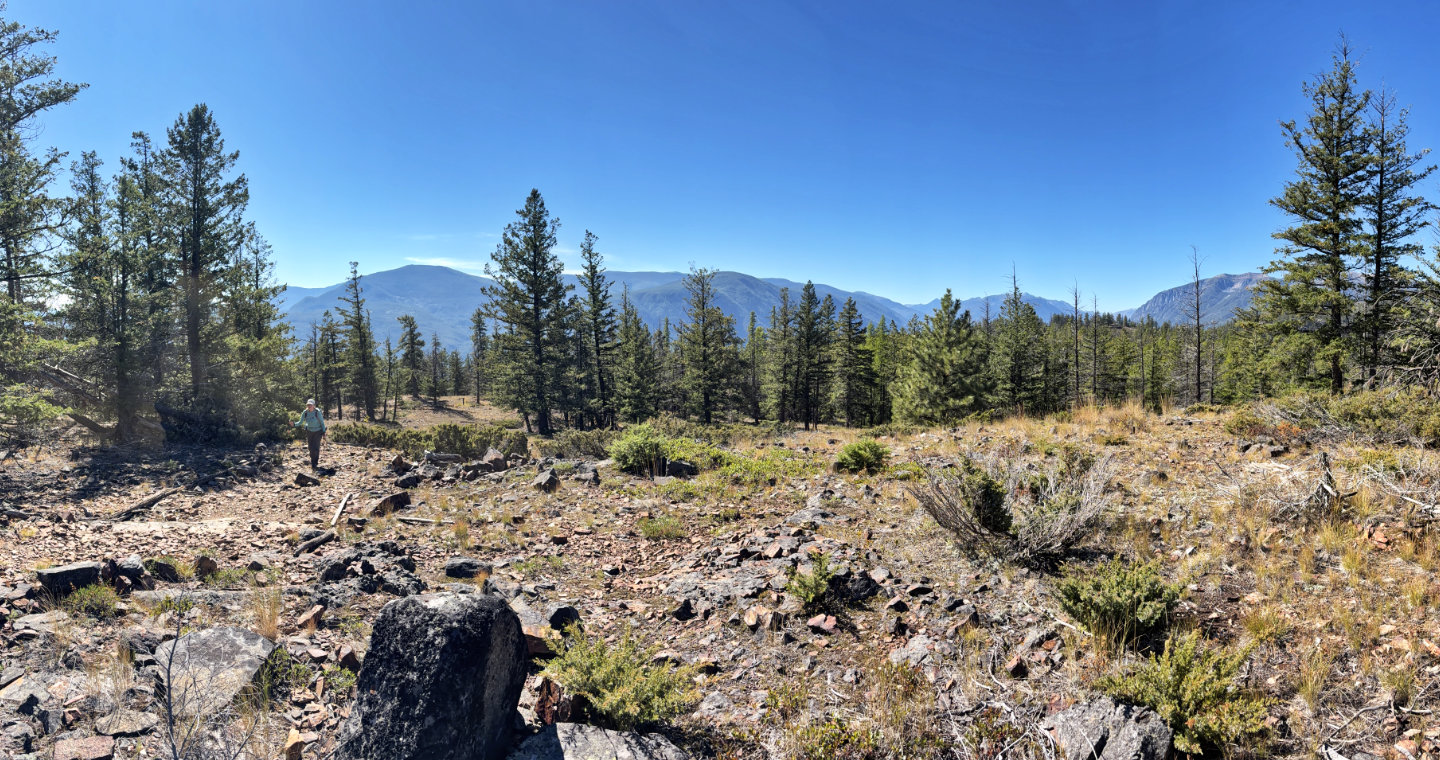 We passed a large clearing
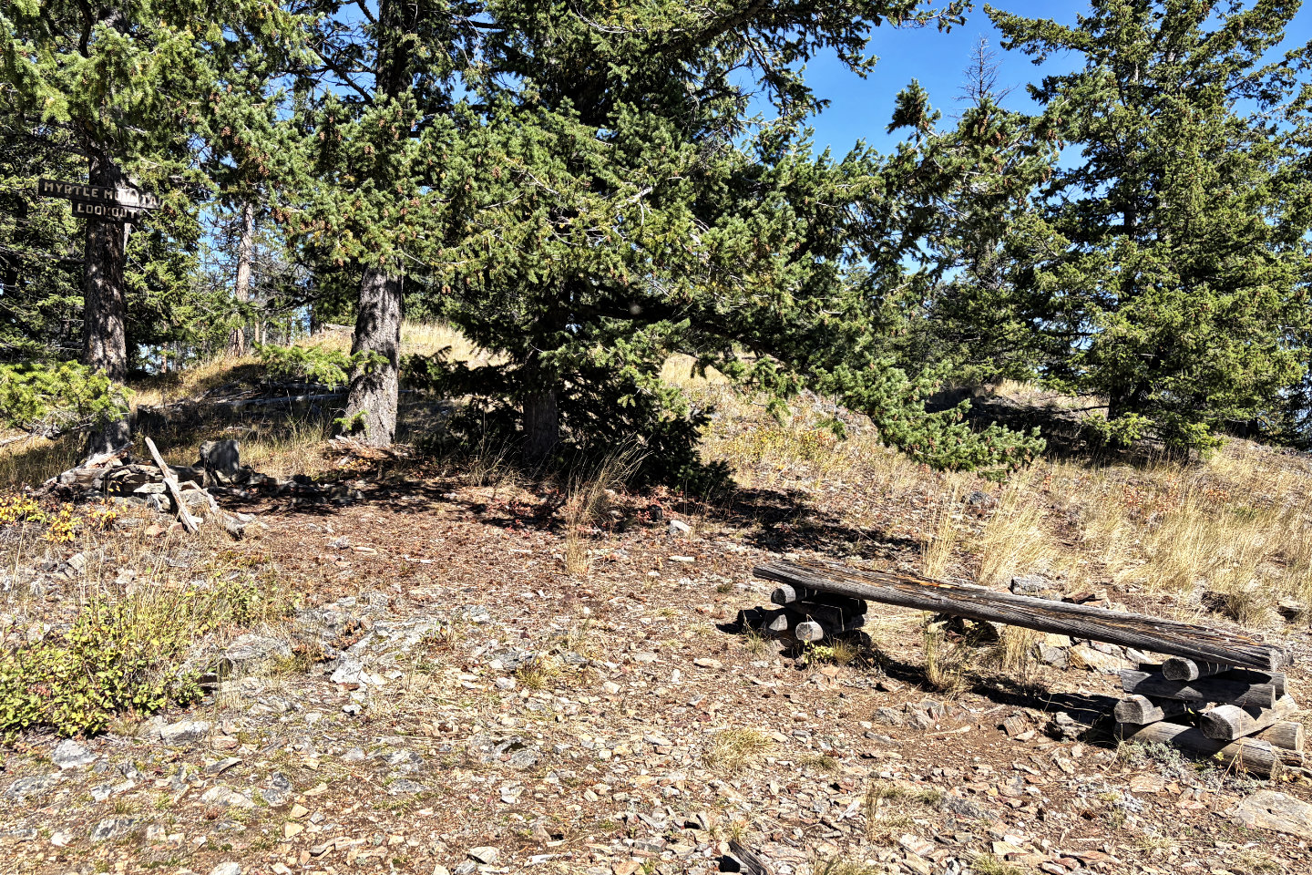 A sign, bench and fire pit at the lookout
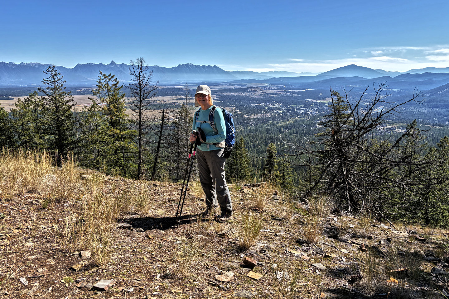 Dinah at the lookout. Mount Baker on the right.
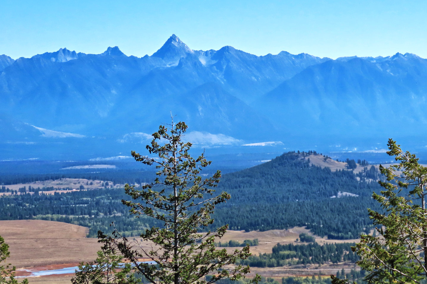 Mount Fisher rises to a sharp point with Lone Pine Hill in the foreground
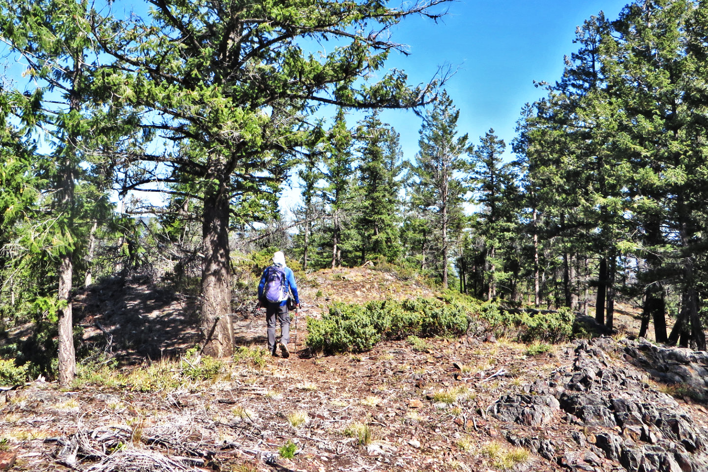 From the lookout, we walked 200 m to the summit, the bump ahead
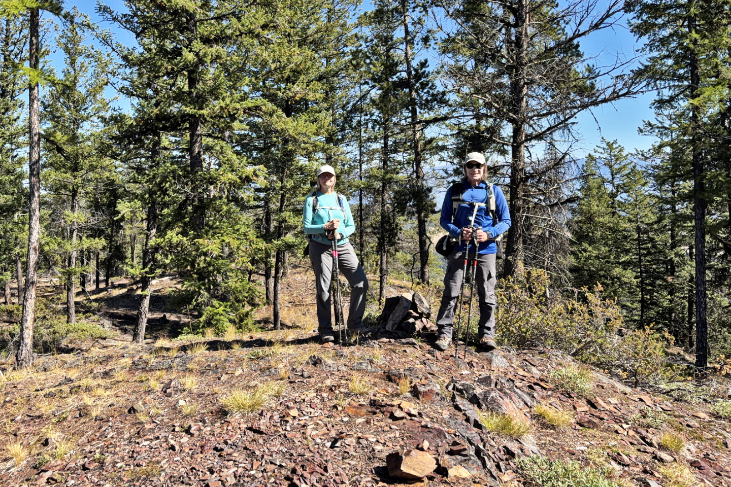 Standing by the summit cairn
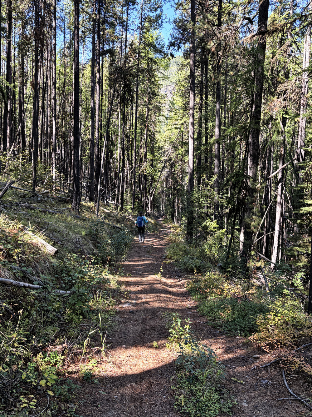
We continued down Mountain Mine Road
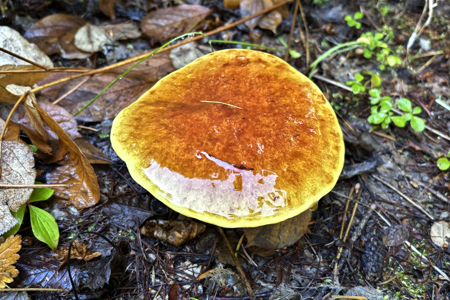 We passed several shiny mushrooms
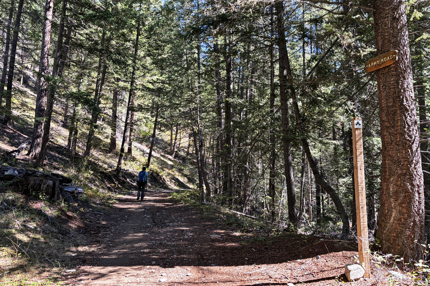 Most of the way back was on Army Road. In the 1950s, army reserve troops had a rifle range here.
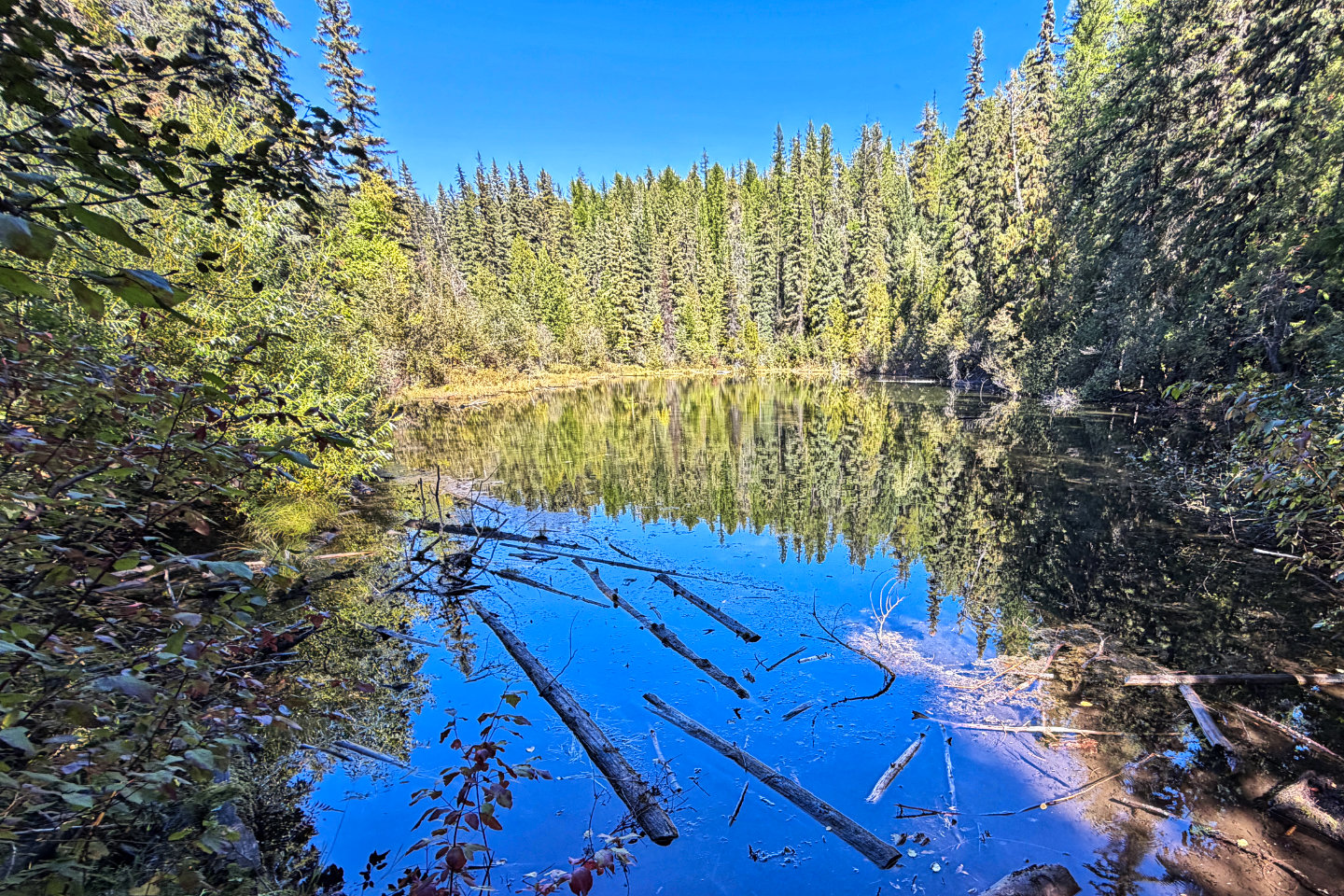 A brief trail leads to Elmer's Lake