bobspirko.ca | Home | Canada Trips | US Trips | Hiking | Snowshoeing | MAP | About

Cranbrook Summit
Cranbrook, B.C.
September 18, 2026
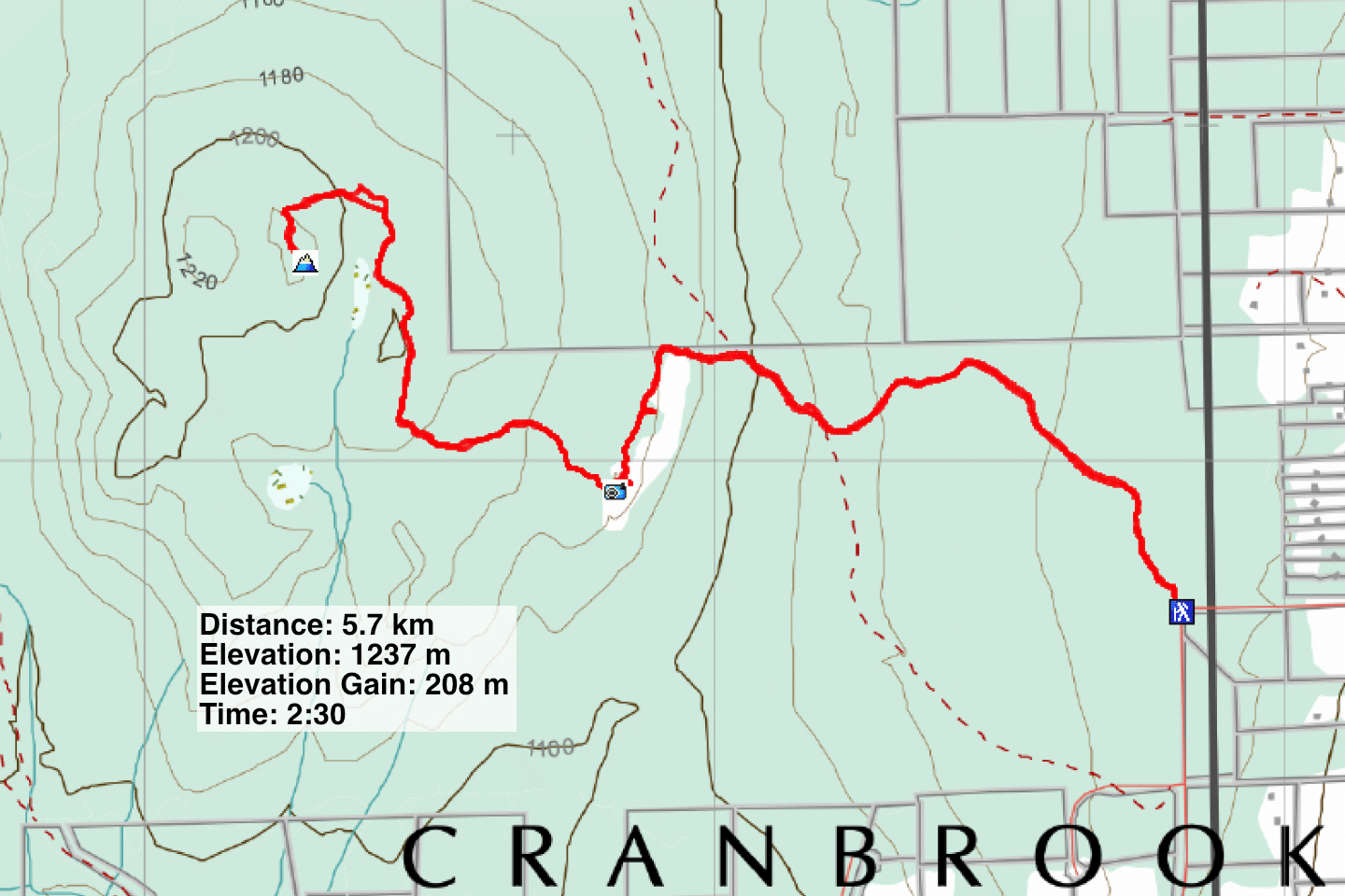
Distance: 5.7 km (3.5 mi)
Cumulative Elevation Gain: 270 m (886 ft)
An unnamed hill overlooking Cranbrook offers two fine viewpoints, one partway up and one on the summit. AllTrails describes two unconnected routes to each viewpoint, Cranbrook Viewpoint Loop and The Cranbrook Viewpoint. To distinguish between the two viewpoints, I’ll call them Cranbrook Viewpoint and Cranbrook Summit. The AllTrails route to the summit is a meandering 9 km. Dinah and I reached both viewpoints on a 5.7 km route using paths not on the map.
We were fortunate to find two trails going where we wanted. The first trail was straightforward, but the second trail lacks an obvious start. We passed it and hiked an extra 500 m before discovering it where it crosses a road. On the way back, we followed the trail to where it began. I corrected the tracks so you won’t make our mistake.
Dinah and I parked at the trailhead on Weeks Road and started up an exploration road. At the first fork, we kept right, and on the second fork, left. At the next fork, which barely diverges, we kept right. When we noticed a trail on our left, we left the road and took it. This trail intercepts a road running south to Cranbrook Viewpoint.
At Cranbrook Viewpoint, the road begins a long descent. Don’t go down. Instead, turn right and walk down 30 m and look for a trail. It drops down, crosses a road, and continues up. Strangely, the trail doesn’t meet the next road you want to get on. It runs parallel to it just 7 m apart before continuing south. Take the road as it heads west before turning north.
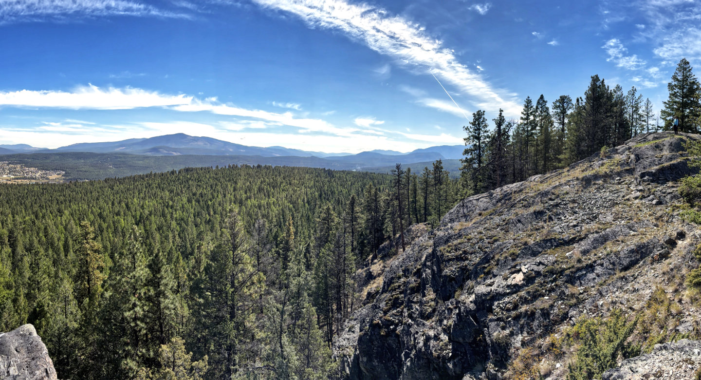
Eventually, the road becomes a path, dropping down to pass a swamp and climbing to Cranbrook Summit. The AllTrails route takes a wide turn before turning south to the summit. However, we found a shortcut. Look for a faint side trail on your left. If you miss it, there’s a second one that joins it. The summit is an expansive dome of rock where I took my panorama, a great spot to relax and look around. On our ascent, we made errors, but our descent went smoothly.
The map shows a double summit. Now that we established a short, enjoyable route, perhaps we’ll return to see which one is higher.
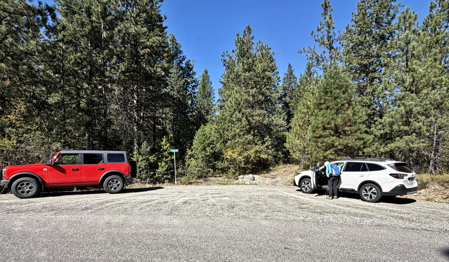 The trailhead is on Weeks Road
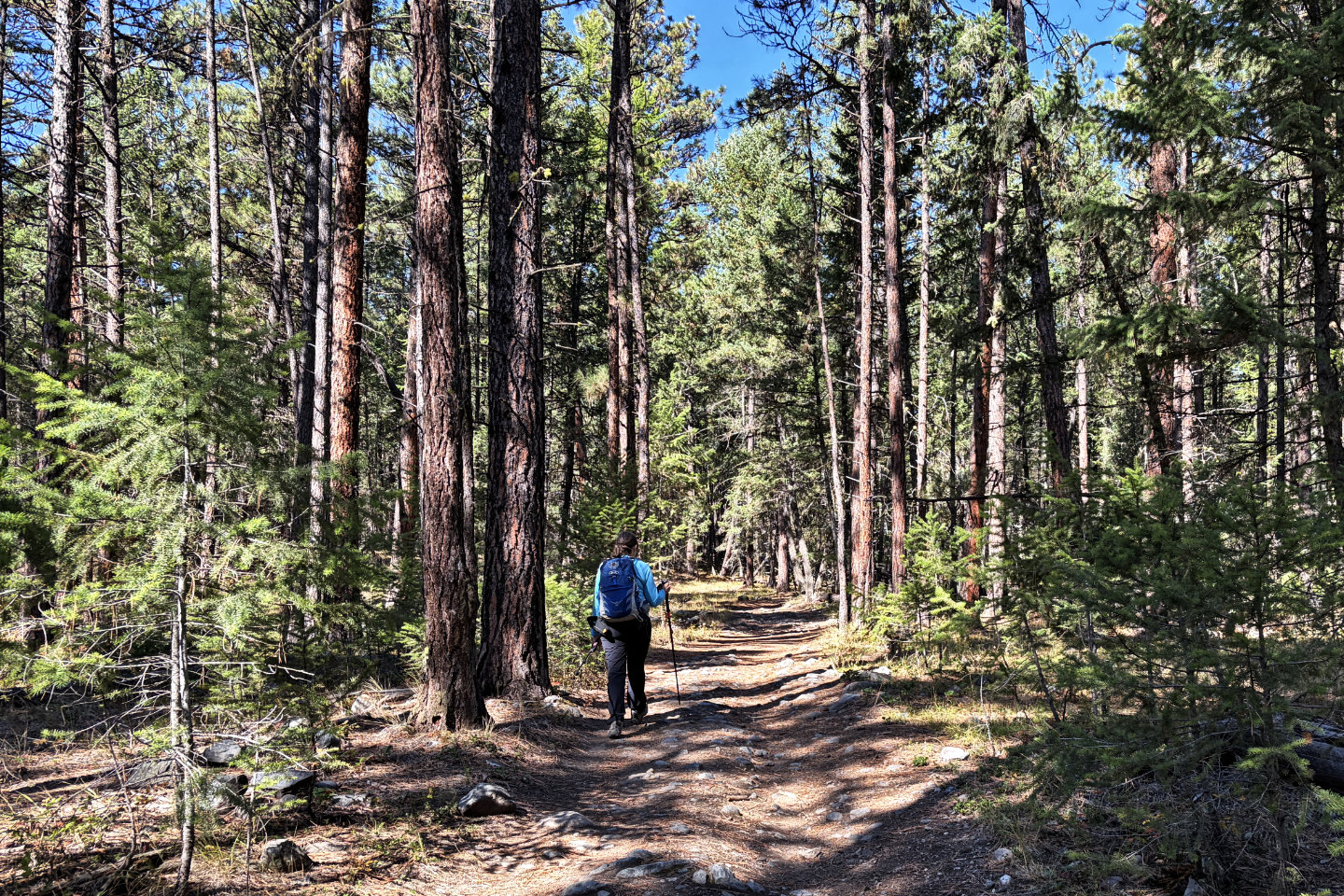 Hiking up the road
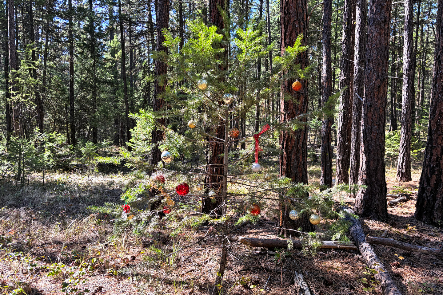 We passed a Christmas tree
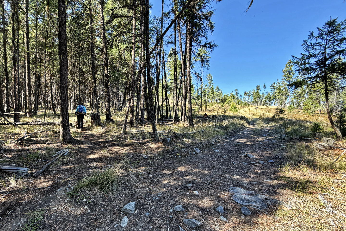 We left the road and started up the trail
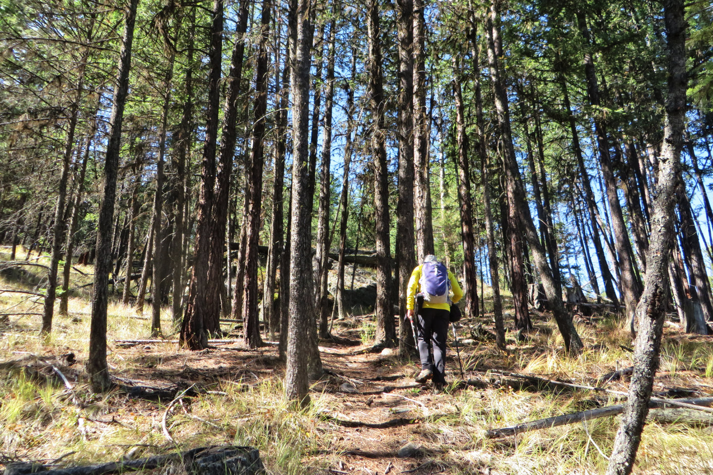 We easily followed the path up
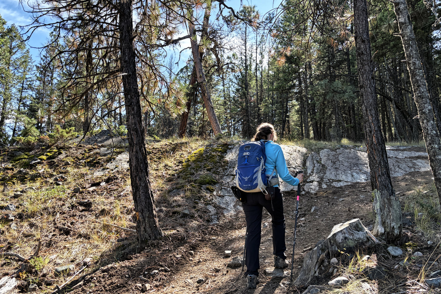 The trail reaches the road where crossed trees form an "X"
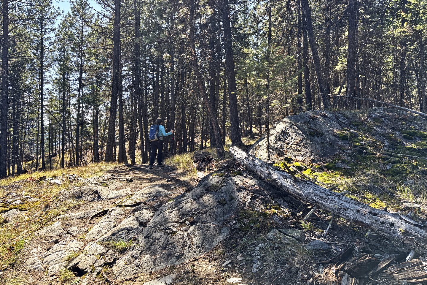 Walking up the road
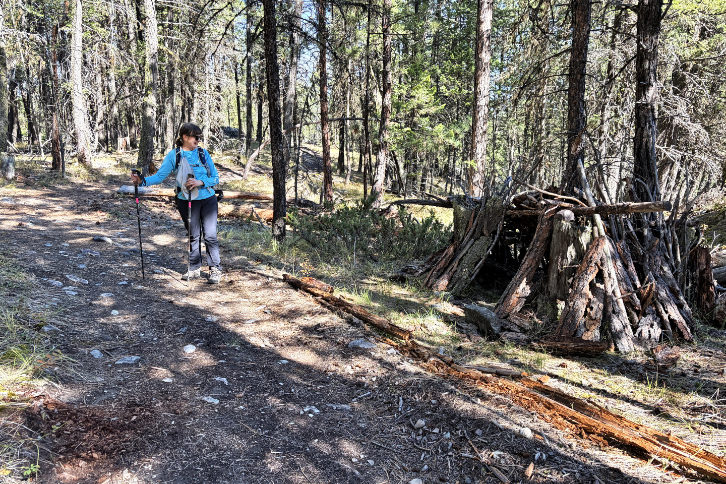 We passed a shelter
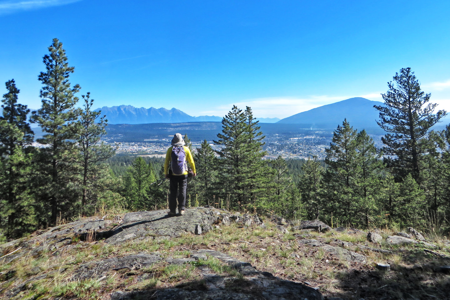 We stopped at a small viewpoint
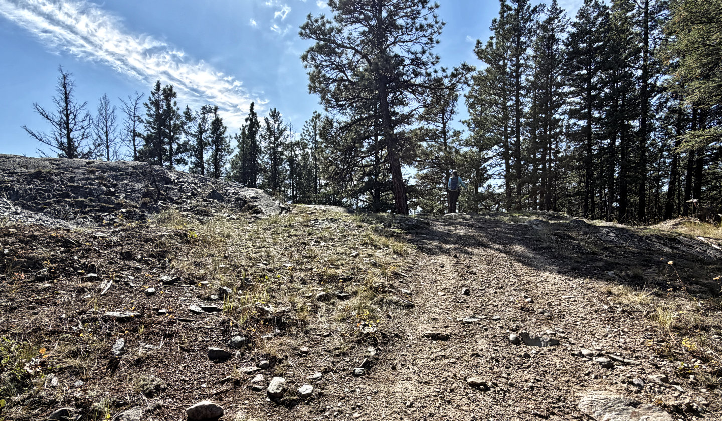 Coming to Cranbrook Viewpoint. The road drops down, but turn right to look for a trail after 30 m.
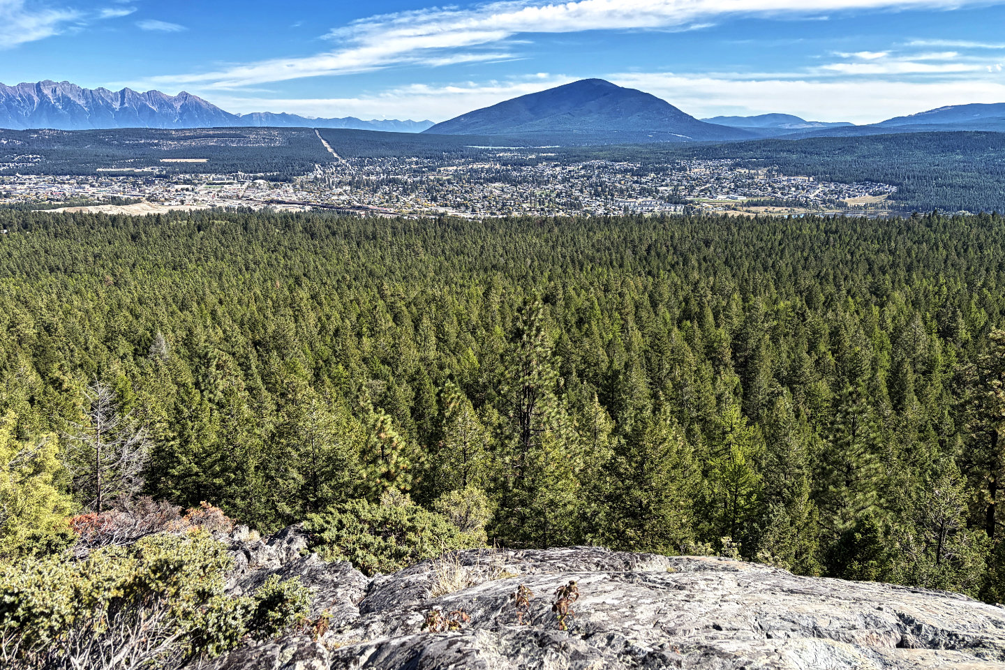 View from Cranbrook Viewpoint. Mount Baker overlooks Cranbrook.
 Dinah on the viewpoint (upper right)
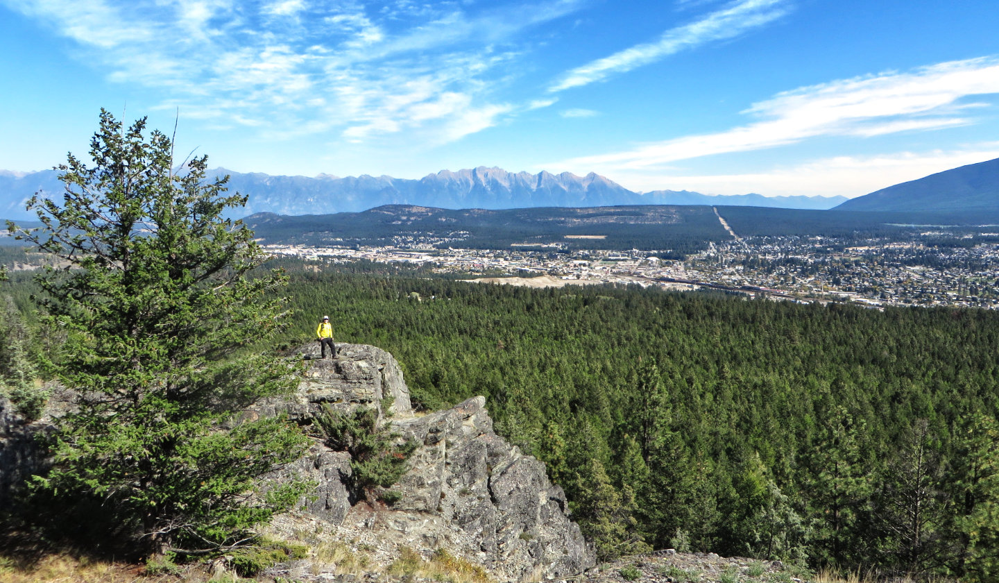 I'm on a nearby clifftop
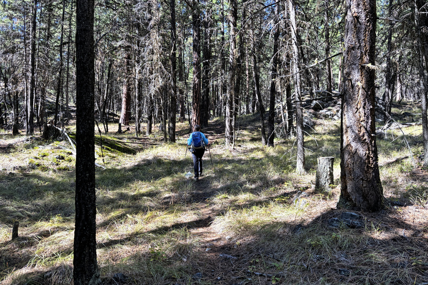 From the viewpoint, the trails drops down, crosses a road, and starts climbing
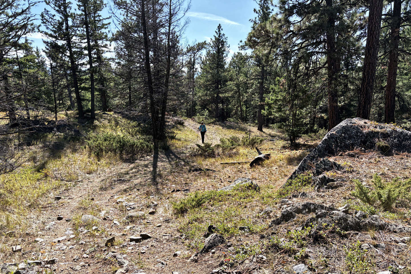 Back on another road
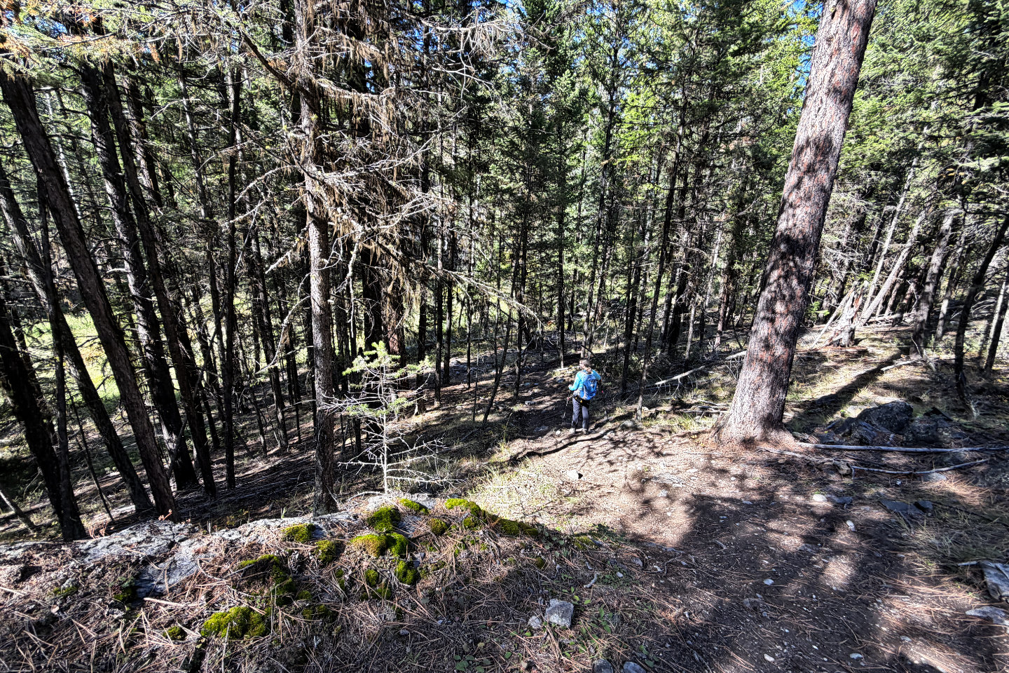 The trail drops down to a swamp seen through the trees
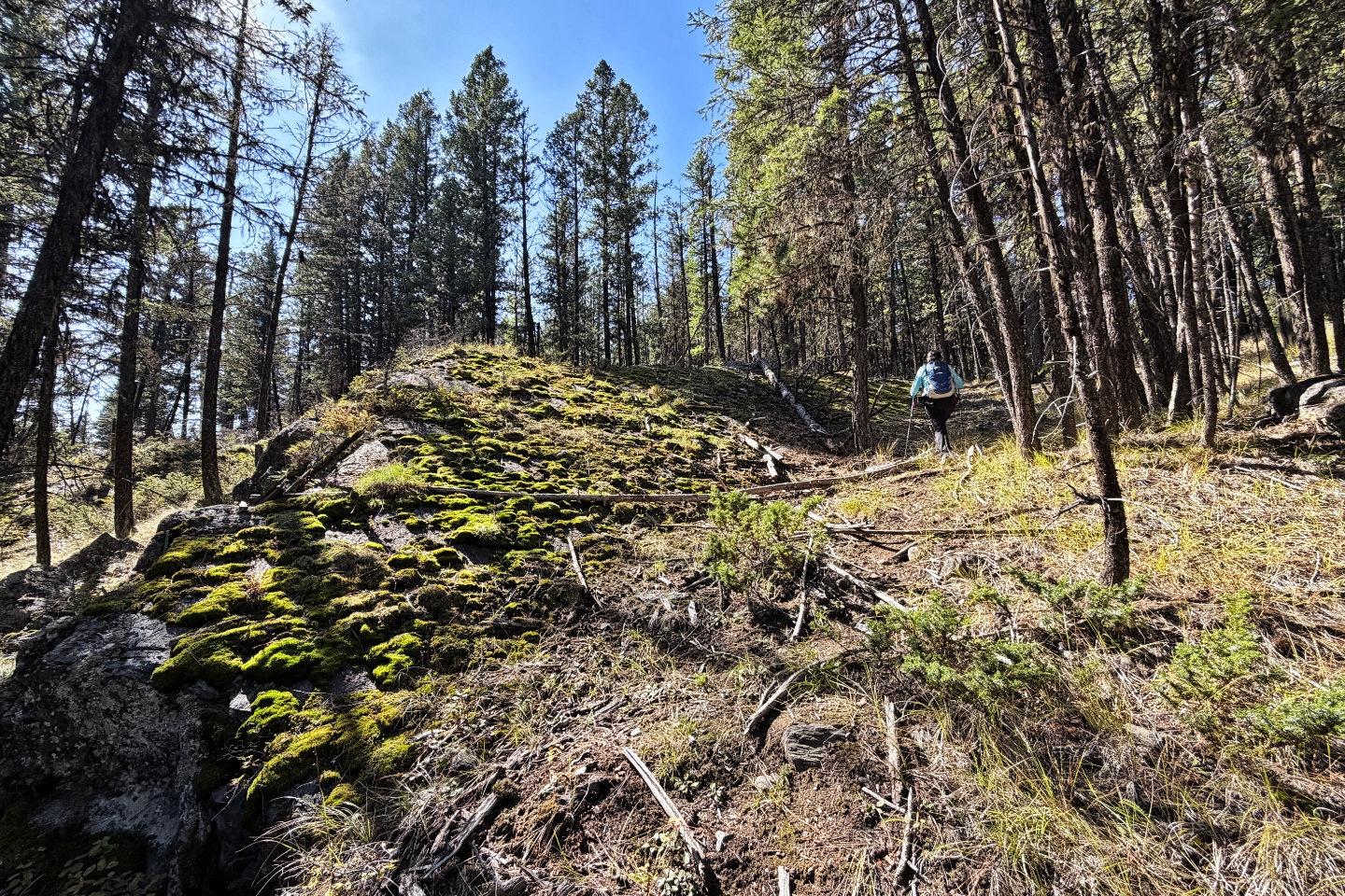 We left the trail and followed a path to the summit, past a huge, moss-covered rock
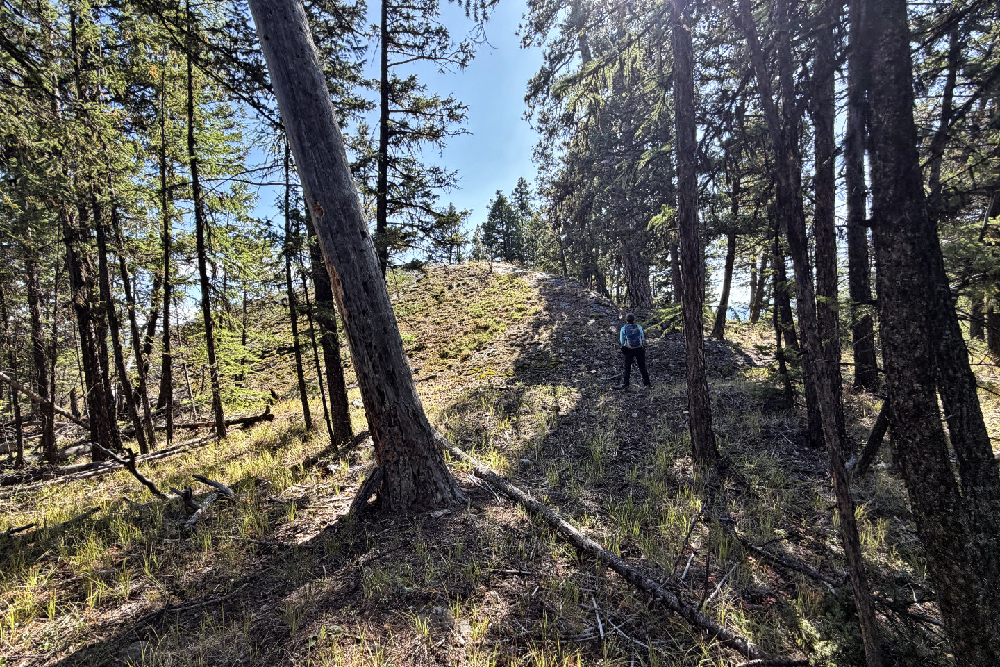 There's the summit
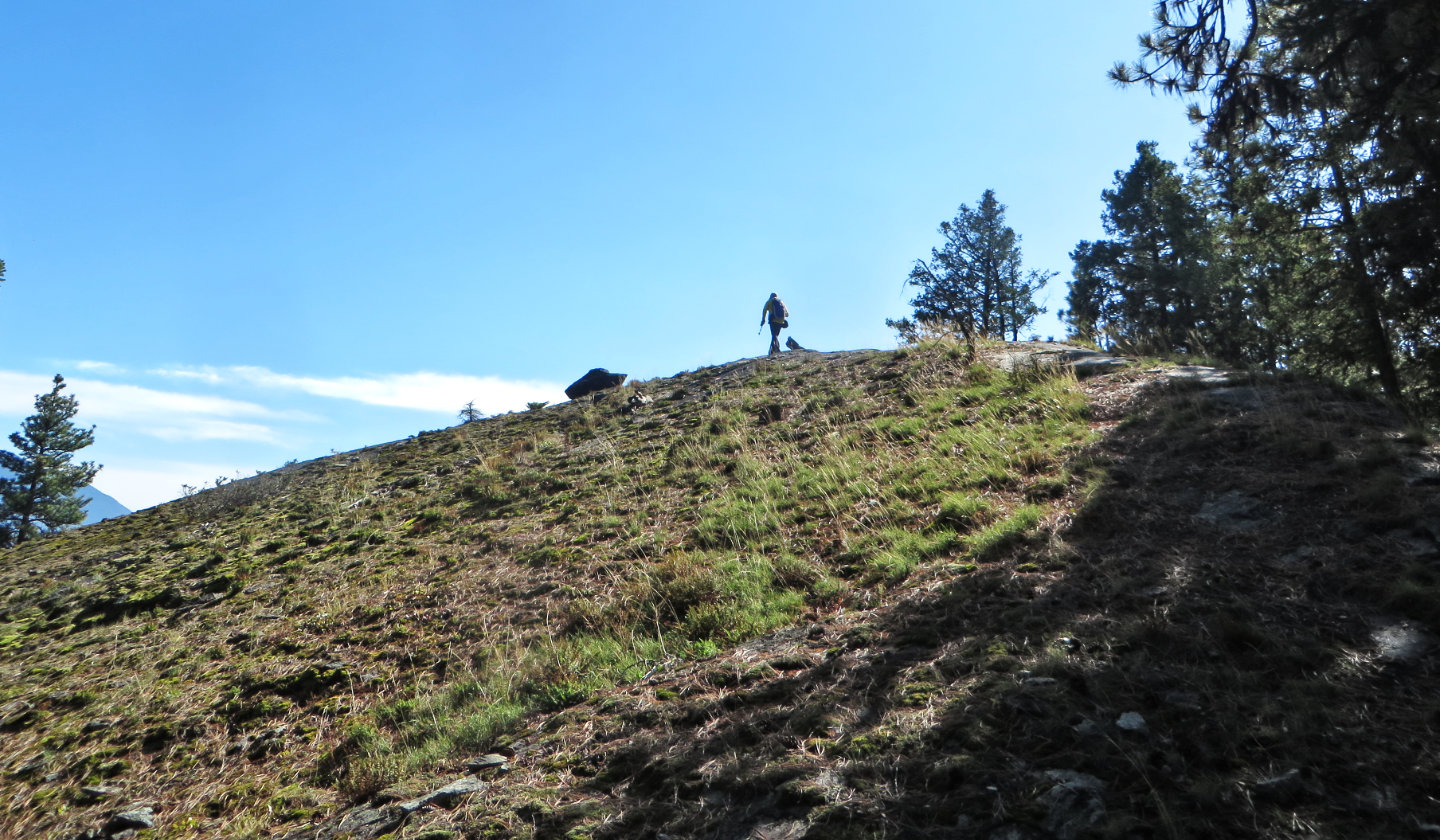 Reaching the broad summit
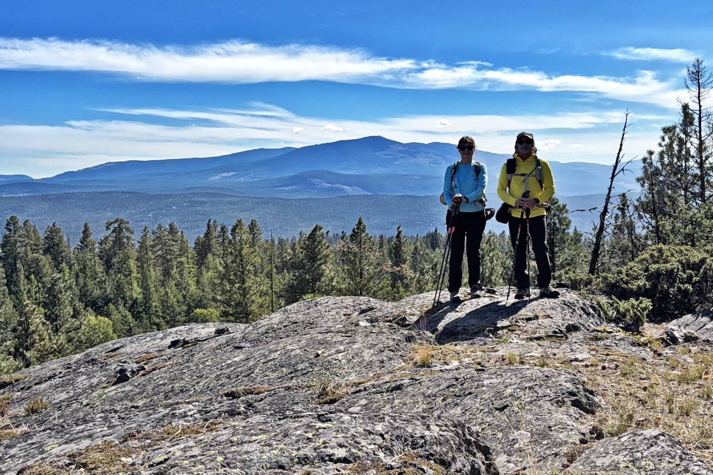 Standing on the top. Cranbrook Mountain in the background.