bobspirko.ca | Home | Canada Trips | US Trips | Hiking | Snowshoeing | MAP | About
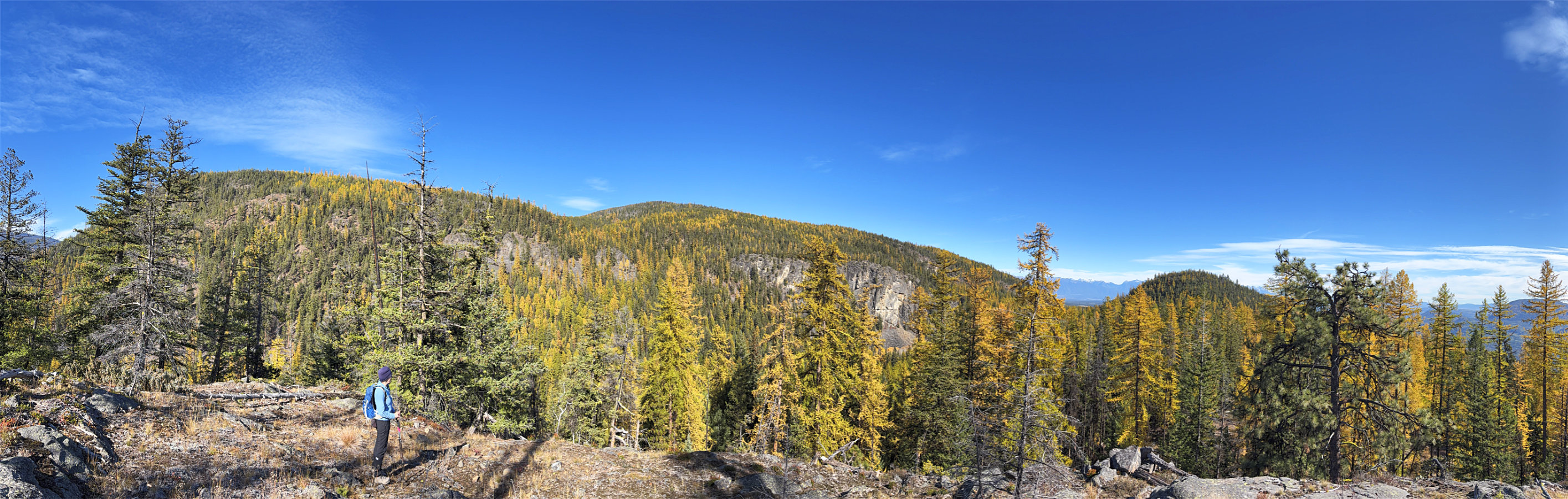 The viewpoint
Dipper Lake and Bullfrog Hill
Kimberley, B.C.
October 13, 2026
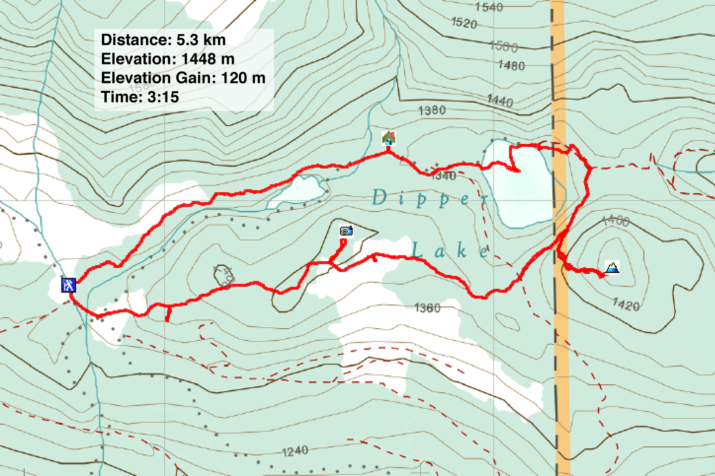
Distance: 5.3 km (3.3 mi)
Cumulative Elevation Gain: 182 m (597 ft)
While looking for a fall trip near Kimberley, I learned Dipper Lake was renowned for its larches, and AllTrails’ Dipper Lake Loop provided a route to experience them. Furthermore, on Peakery, I noticed Bullfrog Hill at the far end of the lake. Despite rising only 70 m above the trail, no one had bagged it, at least on Peakery. It looked like a good objective to add.
Dipper Lake is located west of Kimberley in Horse Barn Valley Interpretive Forest. The parking lot is accessed by a backcountry road. The last couple of kilometres were on a rutted, dirt road that requires a high-clearance vehicle. After a slow drive in our Subaru Crosstrek, Dinah and I reached the parking lot. Talus Trail is left and Coral Trail is right. For the loop, we hiked up Talus Trail and returned on Coral Trail.
As we hiked along Talus Trail, we took in yellow larches and read interpretive signs. Eventually we reached the sprawling meadow bearing Dipper Lake. After the lake, we turned onto Shannon Trail. It runs below Bullfrog Hill, so we looked for a place to begin our ascent. When we saw a faint path on a high point on the trail, we started up it. It didn’t climb much and fizzled out after 80 m, but we pressed on. It was steep at first, but the grade soon eased. We ran into a cliff band below the summit, but after skirting right, we found a break. We reached the huge rock that crowns Bullfrog Hill.
We couldn’t see much because of trees and soon started back down. We retraced our steps back to Talus Trail. We continued until we came to Coral Trail, the trail back to the parking lot. We had seen plenty of yellow larches on our hike so far, but they were spectacular along this stretch. Following a devastating pine beetle infestation in 2005, western larches quickly established dominance in this area.
We continued along the trail, following it as it runs below an unnamed ridge. Given the forest canopy, a vantage
point on the ridge seemed unlikely, but we thought we should look. We chose a likely place to leave the trail
and climbed up. We gained the ridgetop, and after a short walk, came to a clifftop with a fine view of North
Star Hill and Bullfrog Hill. Happy to find a hidden viewpoint, we returned to the trail and hiked back to our
car, enjoying the yellow larches as we went.
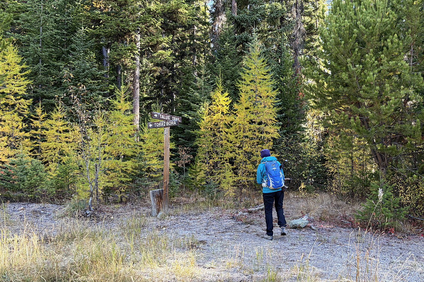 We started up Talus Trail
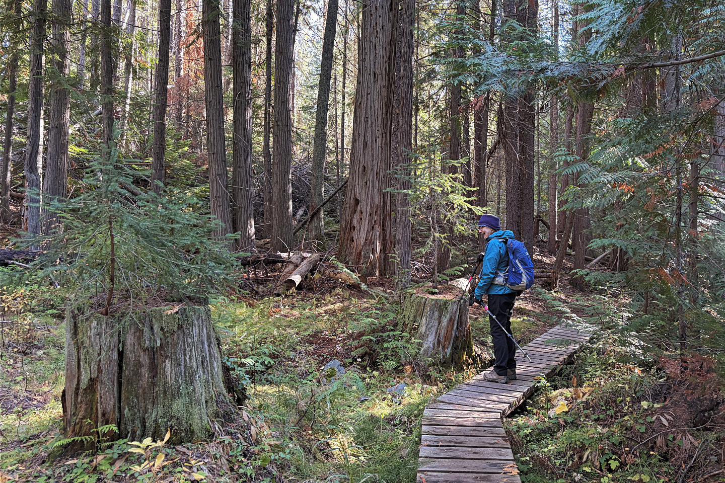 Dinah stopped on a boardwalk to marvel at
trees growing out of tree trunks
Dinah stopped on a boardwalk to marvel at
trees growing out of tree trunks
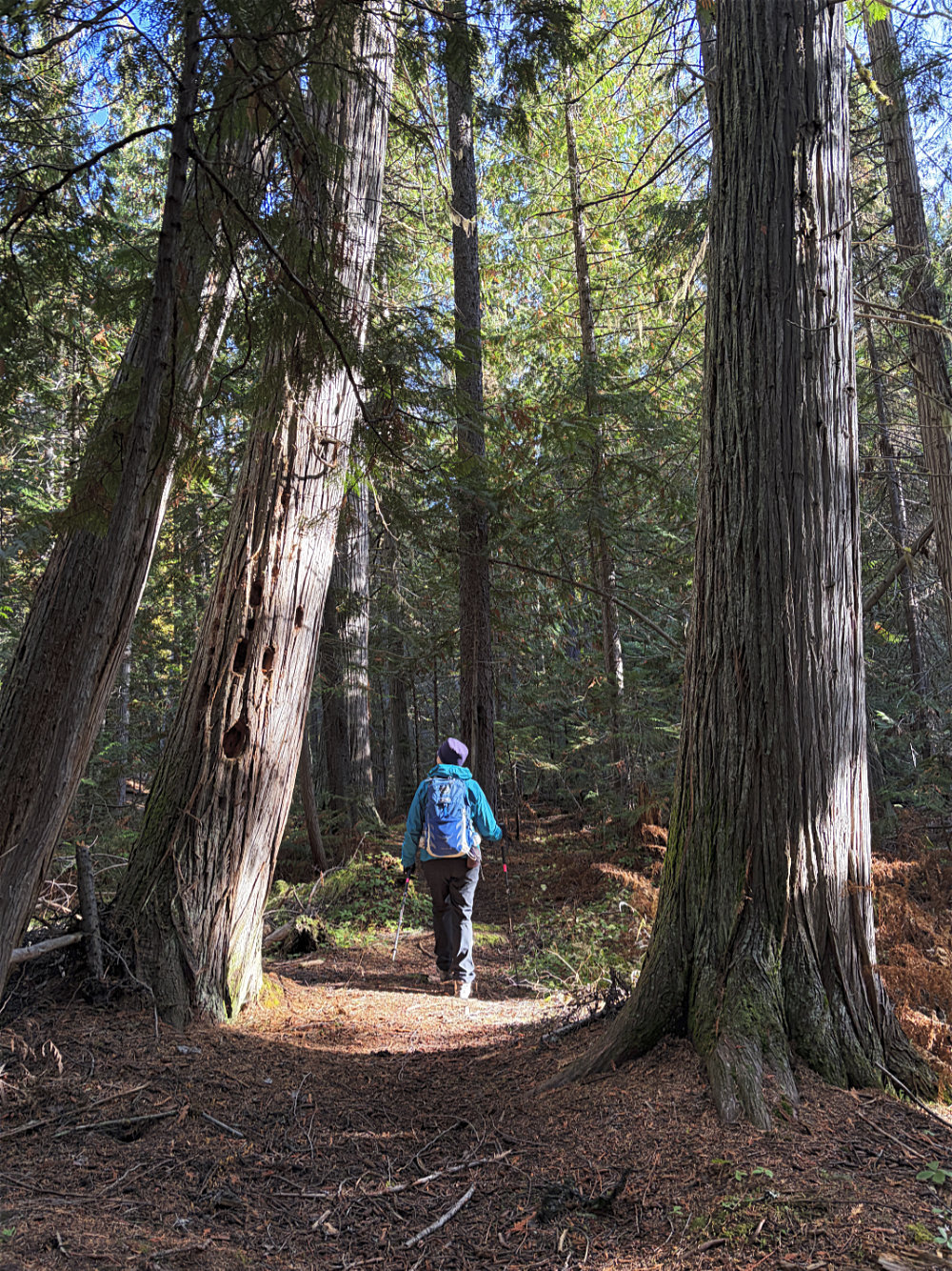
We passed between western red cedar trees
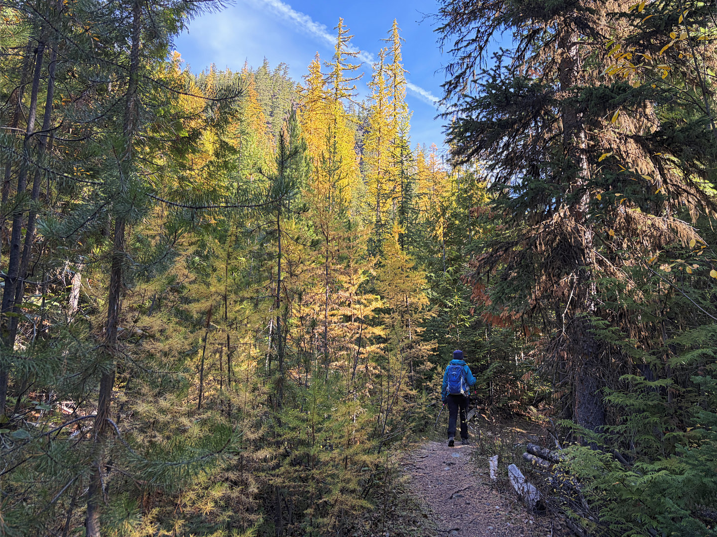 We saw more larches as we continued to the
lake
We saw more larches as we continued to the
lake
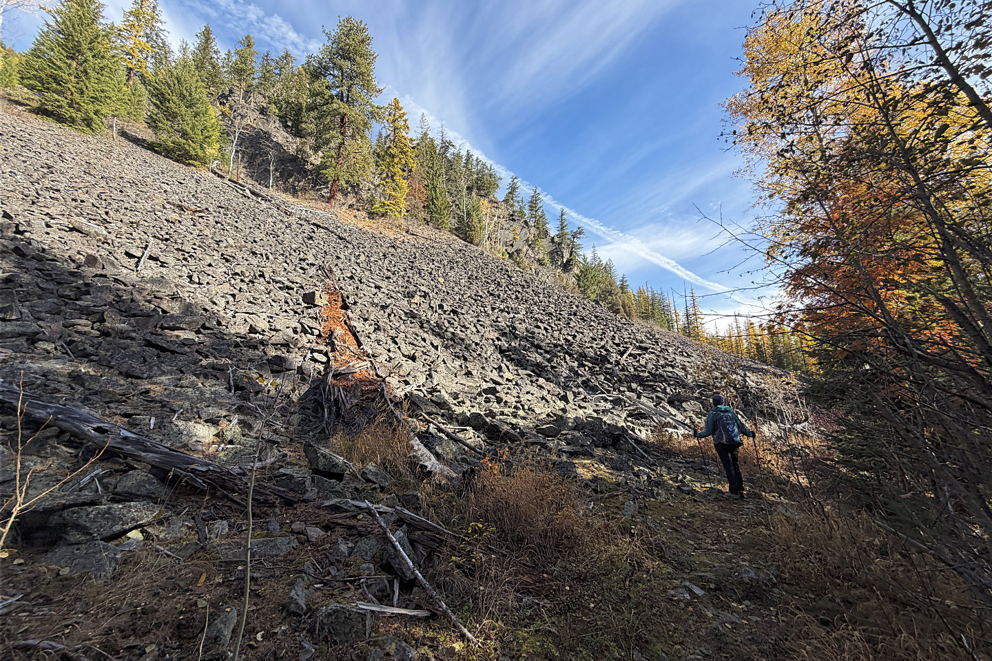 Talus Trail passes a talus slope
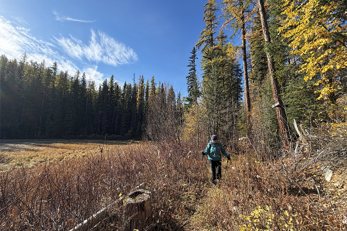 The sign says "The Swamp"
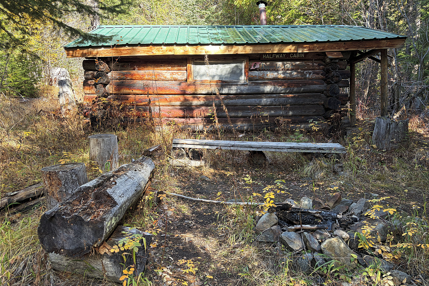 Skiers built Half-way Cabin in 1934 (mouse over to see inside)
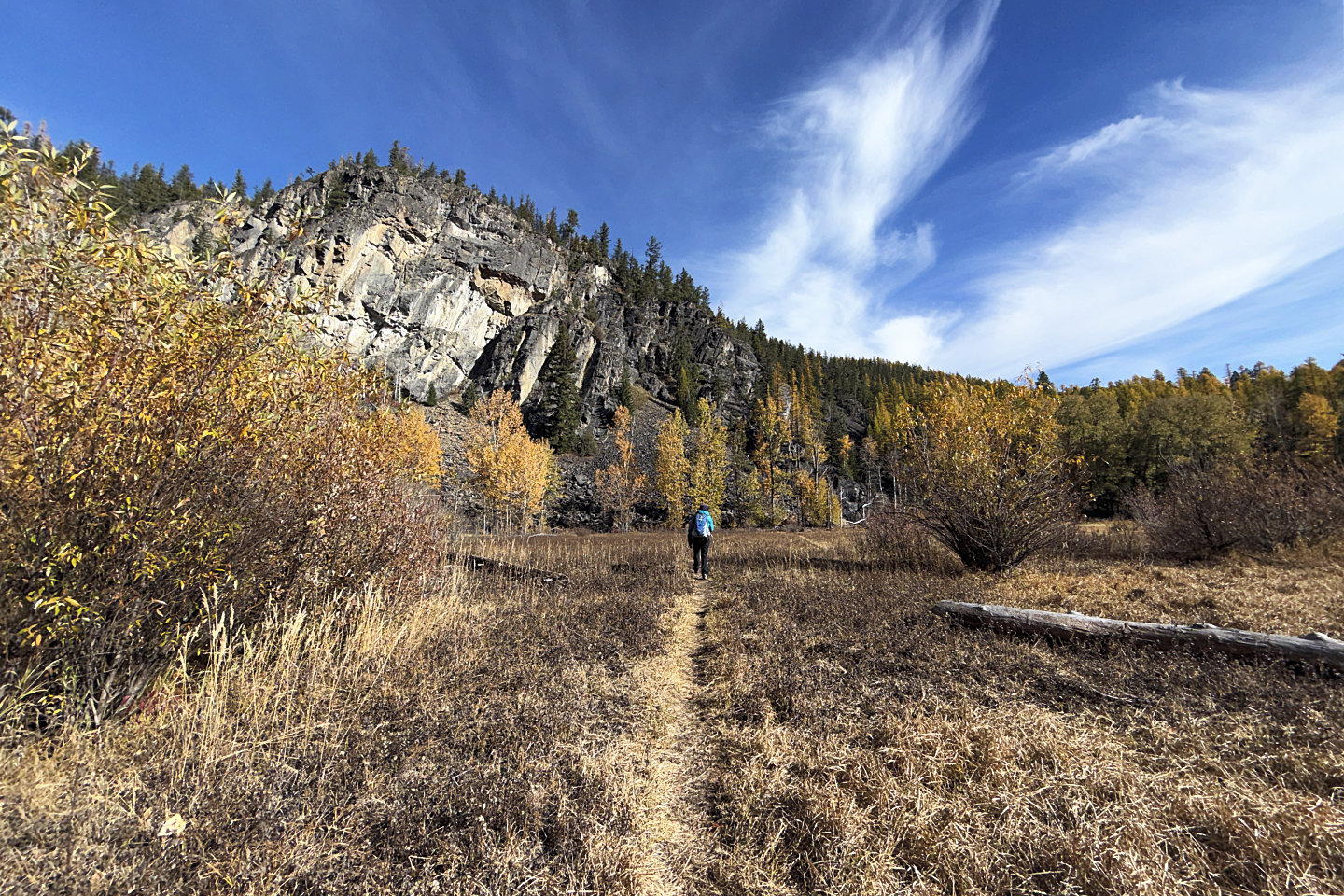 Coming up to Dipper Lake
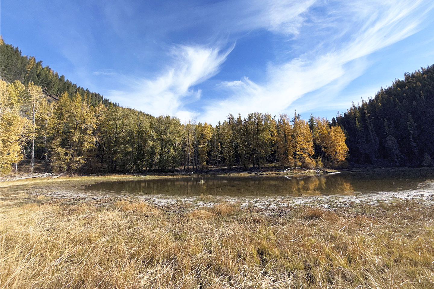 I left the trail to take a photo of Dipper
Lake. Bullfrog Hill is just out of sight on the left.
I left the trail to take a photo of Dipper
Lake. Bullfrog Hill is just out of sight on the left.
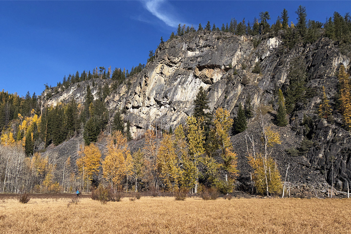 Looking back at Dinah (lower left) who is
dwarfed by the cliffs
Looking back at Dinah (lower left) who is
dwarfed by the cliffs
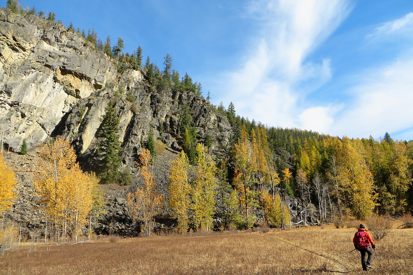 The trail soon goes back into the forest
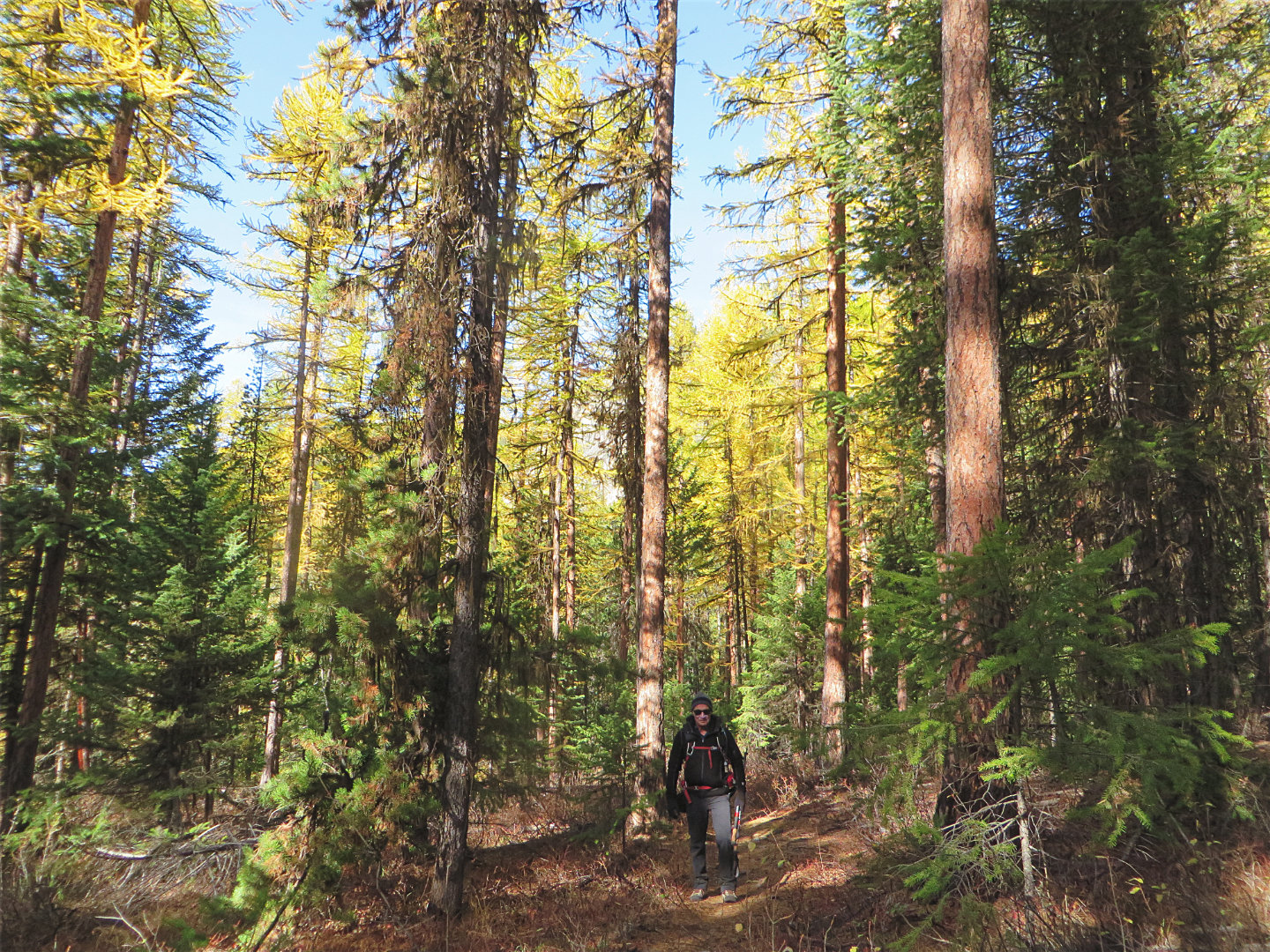 Continuing on Talus Trail to Bullfrog Hill
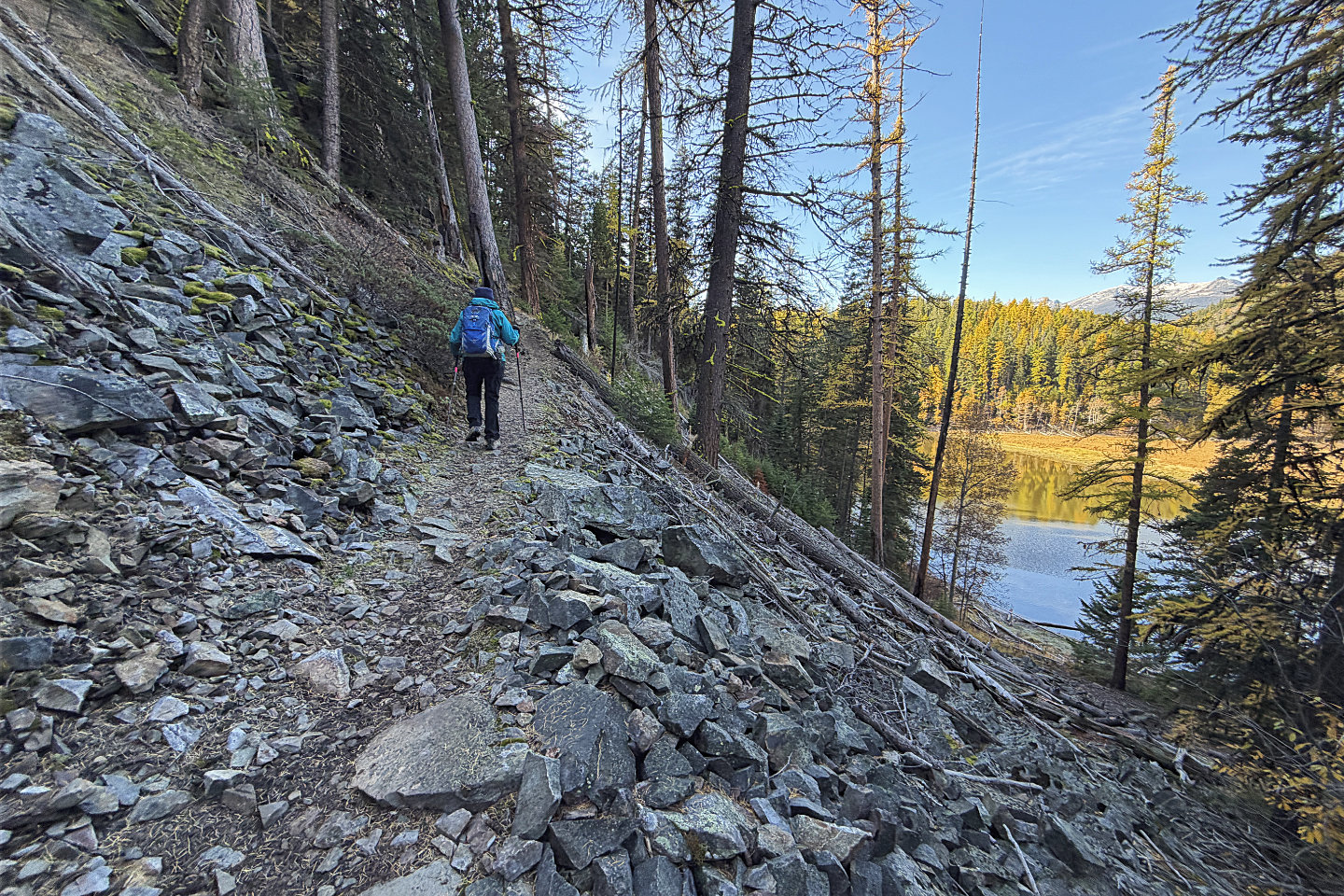 We left Talus and turned onto Shannon Trail
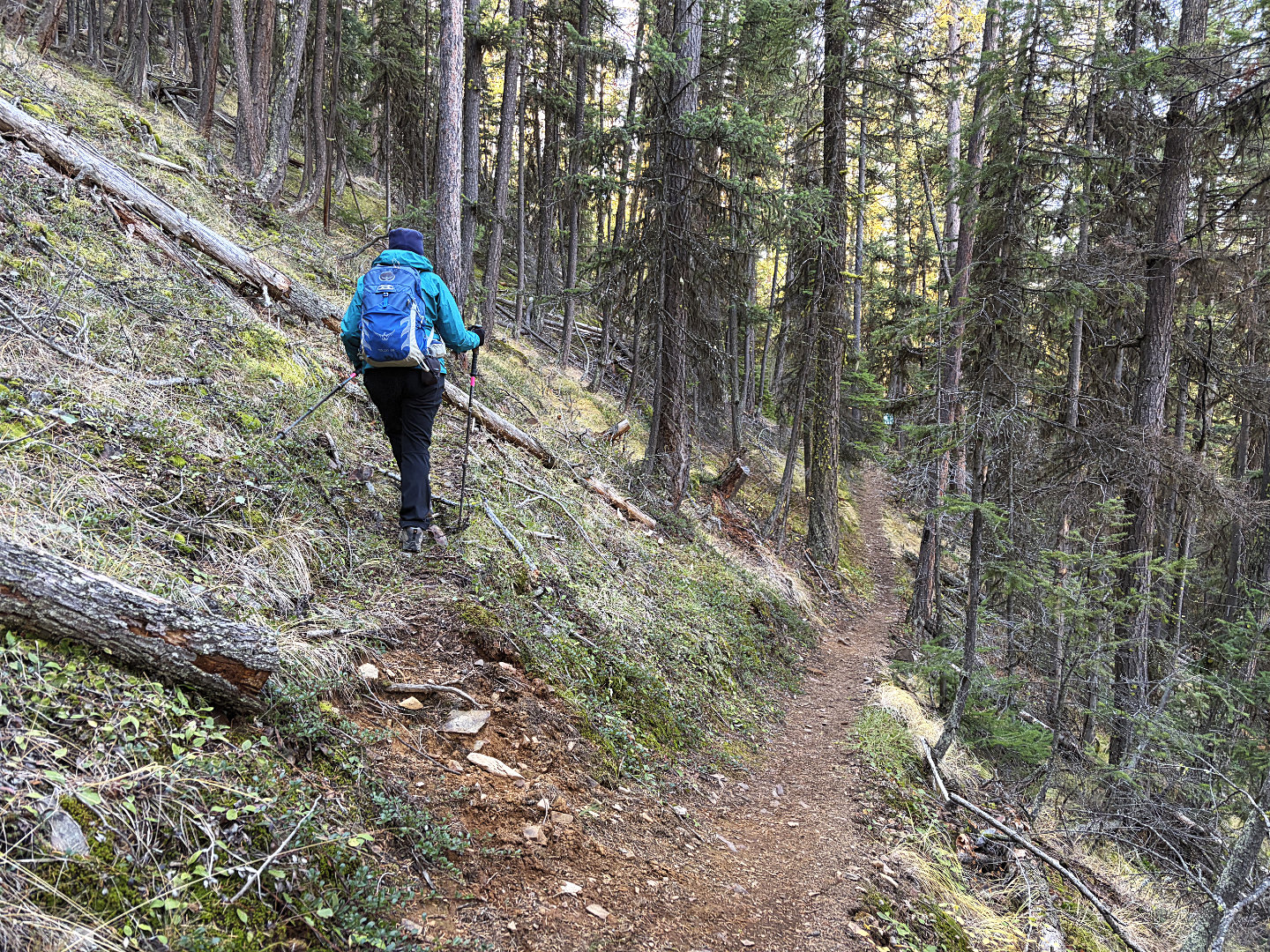 We spied a faint path and followed it
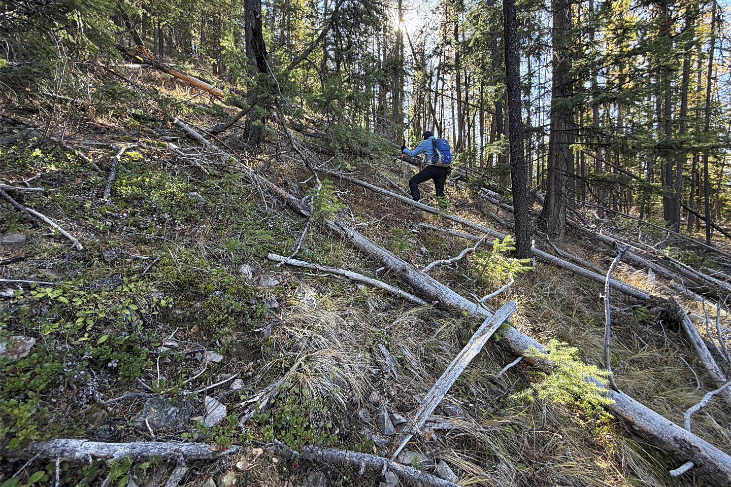 When the trail ended, we started up a steep
slope
When the trail ended, we started up a steep
slope
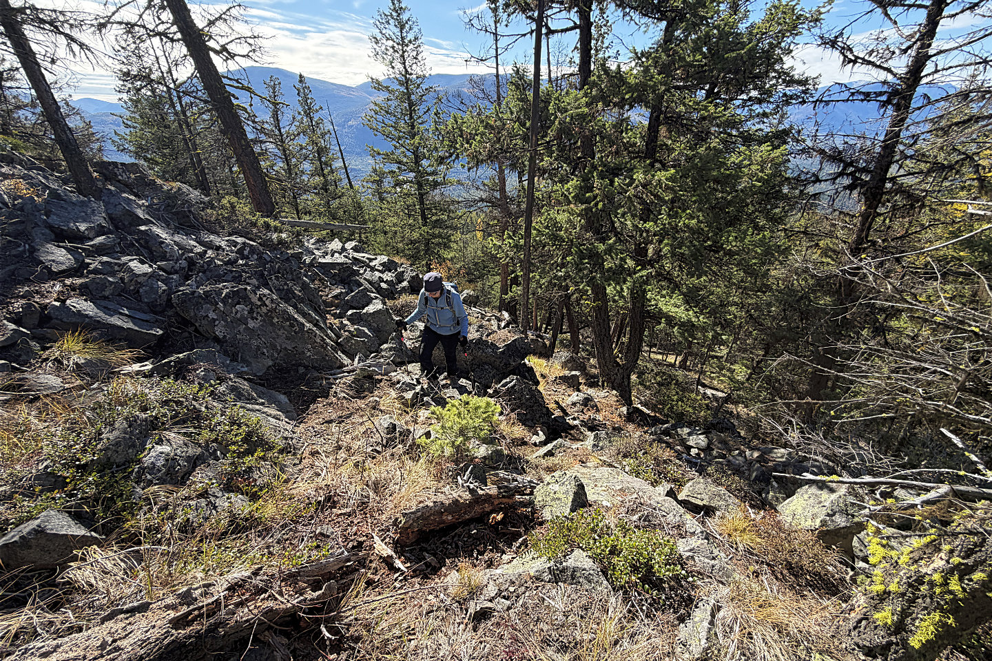 A cliff band guards the top, but we found a
break
A cliff band guards the top, but we found a
break
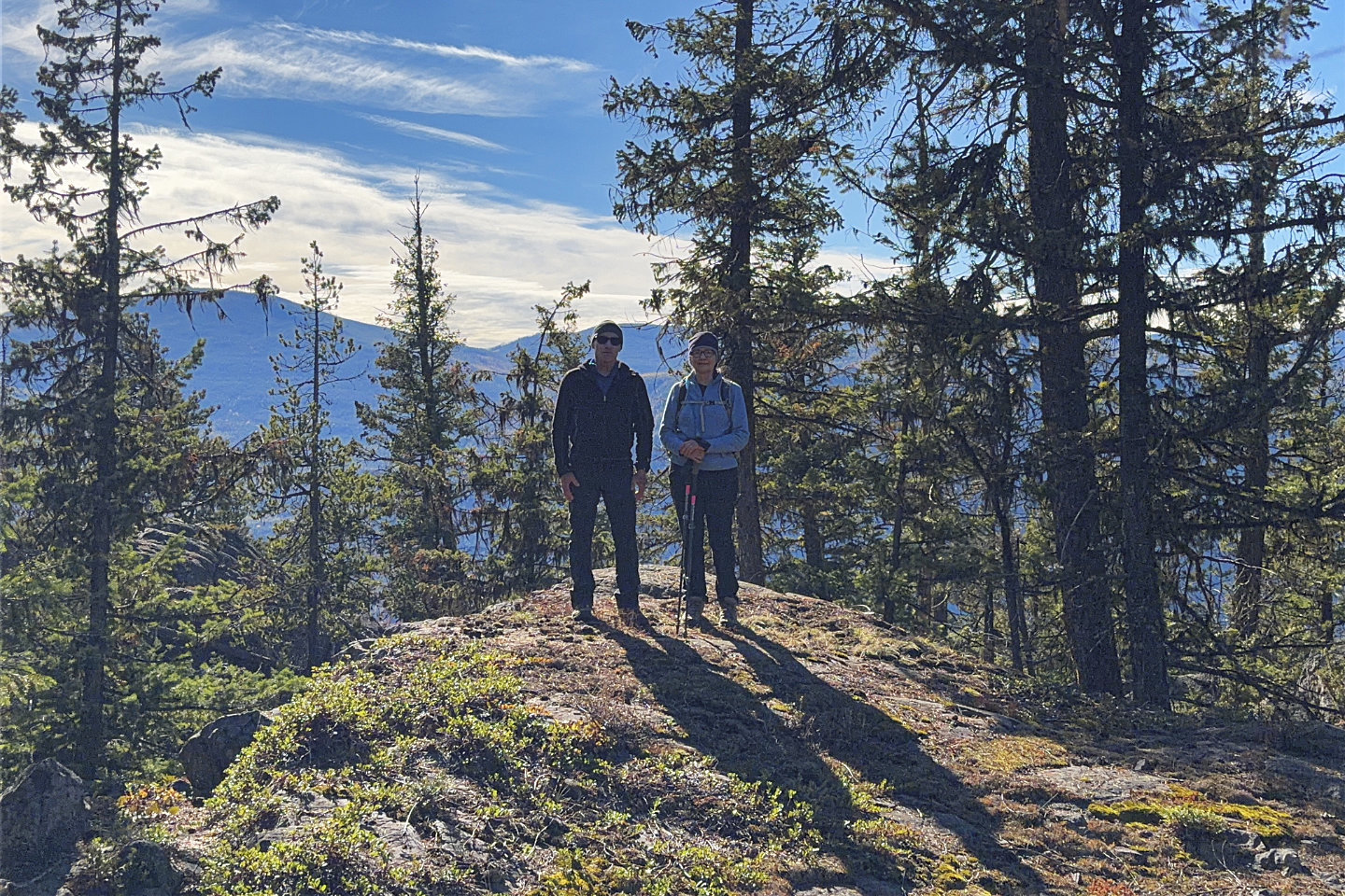 Standing on the summit of Bullfrog Hill
 Not
much to see in all directions from the summit
Not
much to see in all directions from the summit
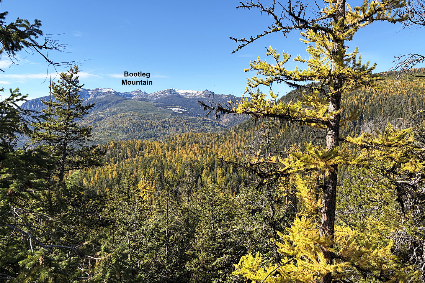 Looking northwest at Bootleg Mountain
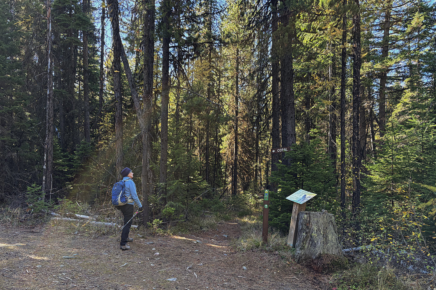 From Talus Trail, we turned onto Coral Trail
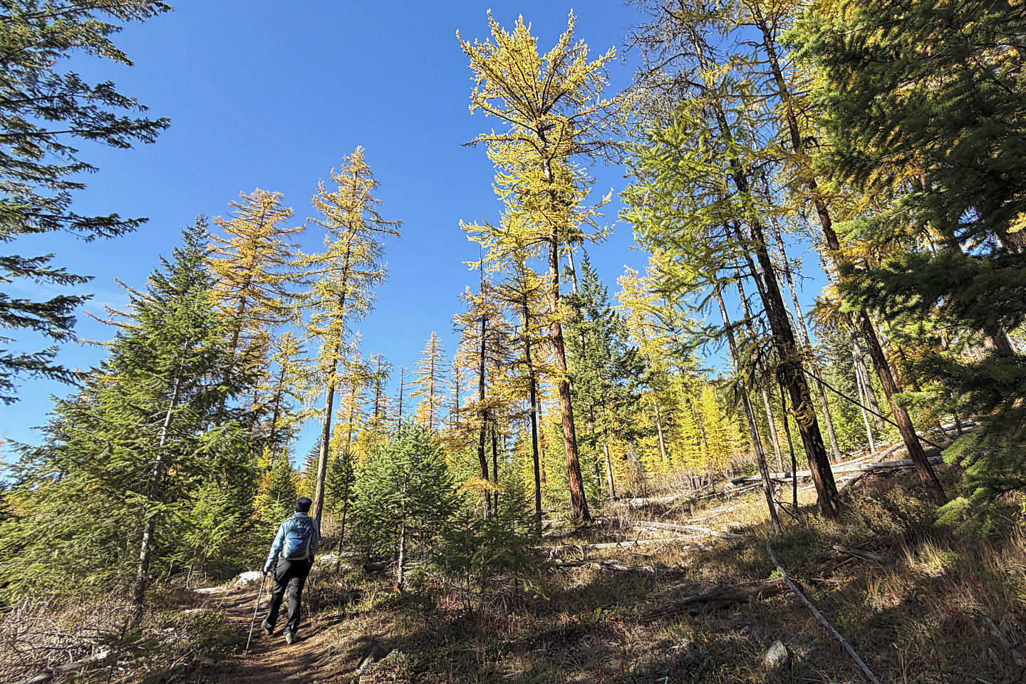 We soon started seeing lots of larches
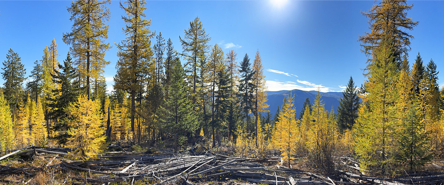 Looking south from a viewpoint
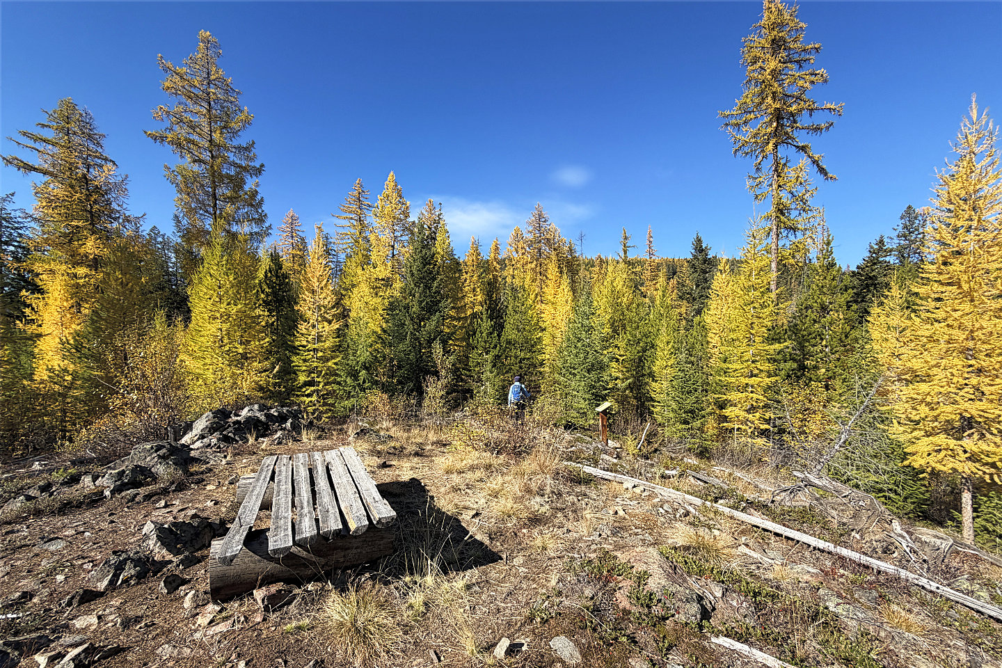 On the viewpoint, there's a bench and an
interpretative sign about western larches
On the viewpoint, there's a bench and an
interpretative sign about western larches
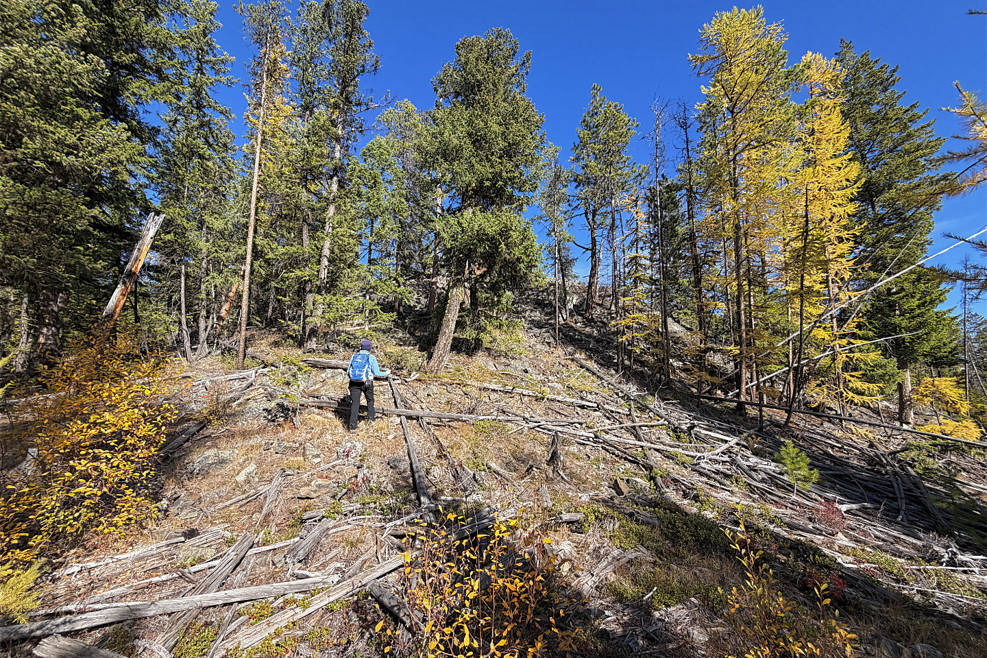 We left the trail and hiked to a hidden
viewpoint
We left the trail and hiked to a hidden
viewpoint
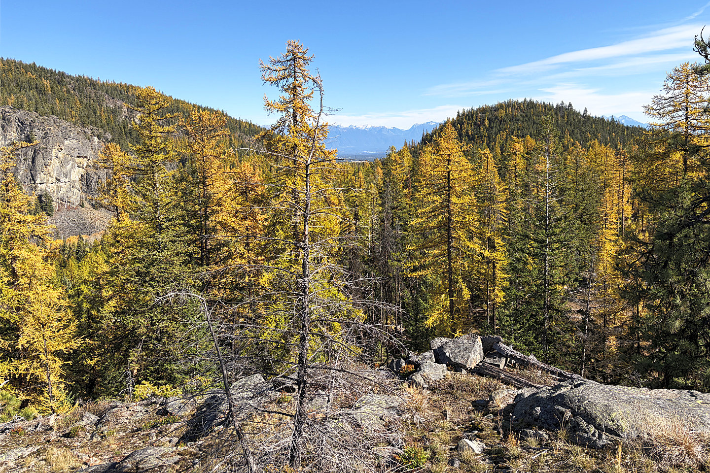 From the viewpoint, the cliff above Dipper
Lake was visible, but not the lake. Bullfrog Hill is right.
From the viewpoint, the cliff above Dipper
Lake was visible, but not the lake. Bullfrog Hill is right.
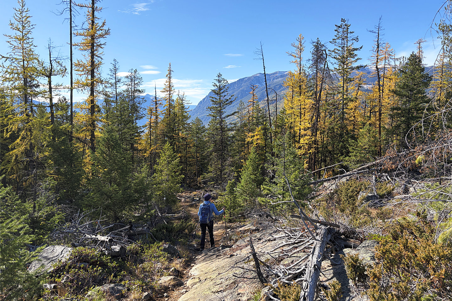 Continuing down Coral Trail
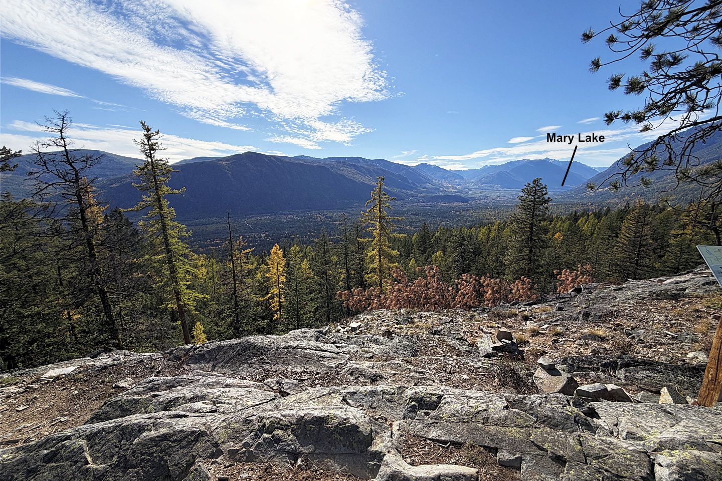 A sign says you can see St Mary Lake on a clear day, and we did (mouse over)