bobspirko.ca | Home | Canada Trips | US Trips | Hiking | Snowshoeing | MAP | About
Tewinot Mountain (Attempt)
Grand Teton National Park, Wyoming
September 5, 2006
Grand Teton is the highest peak in Grand Teton National Park, but it was too technical for Dinah and me to attempt. However, the sixth-highest peak, Teewinot Mountain, is a class 4 scramble, and that we could do. Unfortunately, Dinah still hadn't recovered from altitude sickness from our Grays Group climb, and she ended up sleeping in; a late start made it impossible to climb any peak since all the peaks in the park were full-day ascents. We settled on a partial ascent up Teewinot Mountain that would give us some views. We encountered only two people along the way. With their early start they had no trouble bagging the peak, and we met them on their descent.
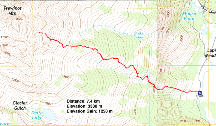
The trail starts at Lupine Meadows. Even though it's an unofficial trail, it appeared well-trodden and maintained. The trail switchbacks up the right side of a drainage.
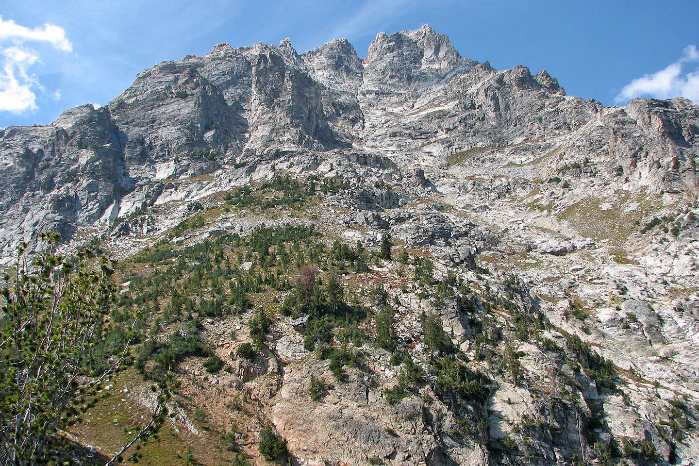
Dinah stopped near the treeline when she ran out of steam, so I continued on. I knew I wouldn't have enough time to summit, but I was curious. After climbing well above treeline, I could see no obvious crux above me. However, continuing would require routefinding. I was still more than 450 m below the 3757 m summit when I turned back.
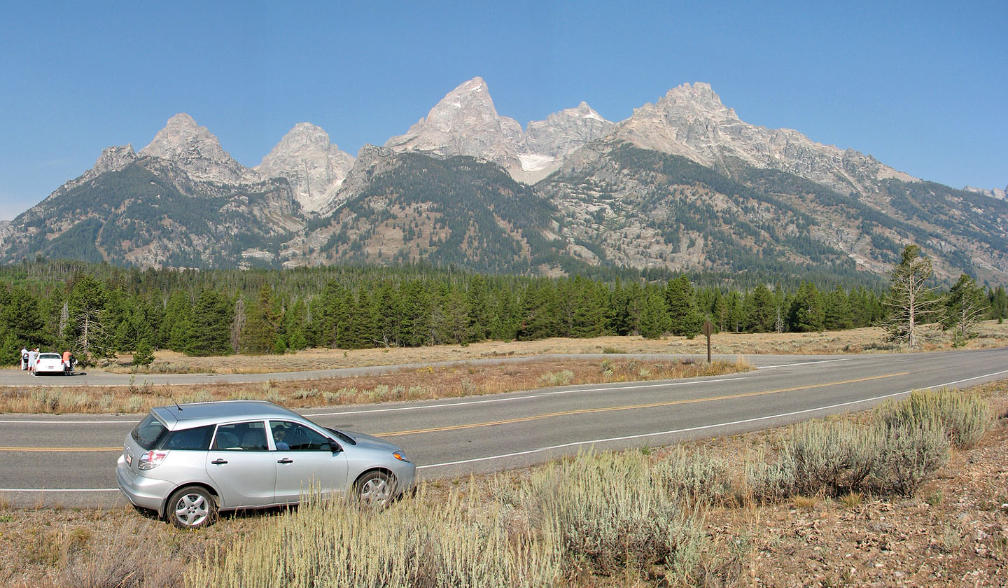
South Teton, Middle Teton, Grand Teton, Mount Owen and Teewinot Mountain
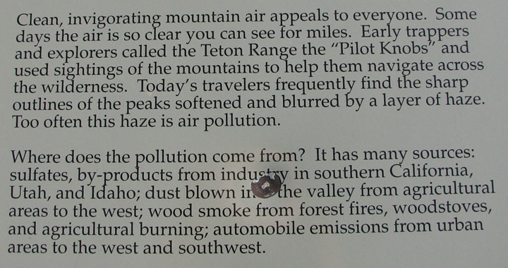
I wasn't able to take clear photos in the distance. This sign explains why.
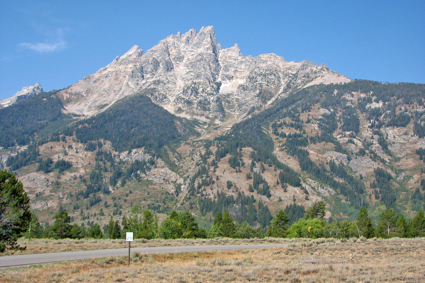 Teewinot Mountain seen from the highway. The trail follows the ridge on the left,
through the triangle of trees.
Teewinot Mountain seen from the highway. The trail follows the ridge on the left,
through the triangle of trees.
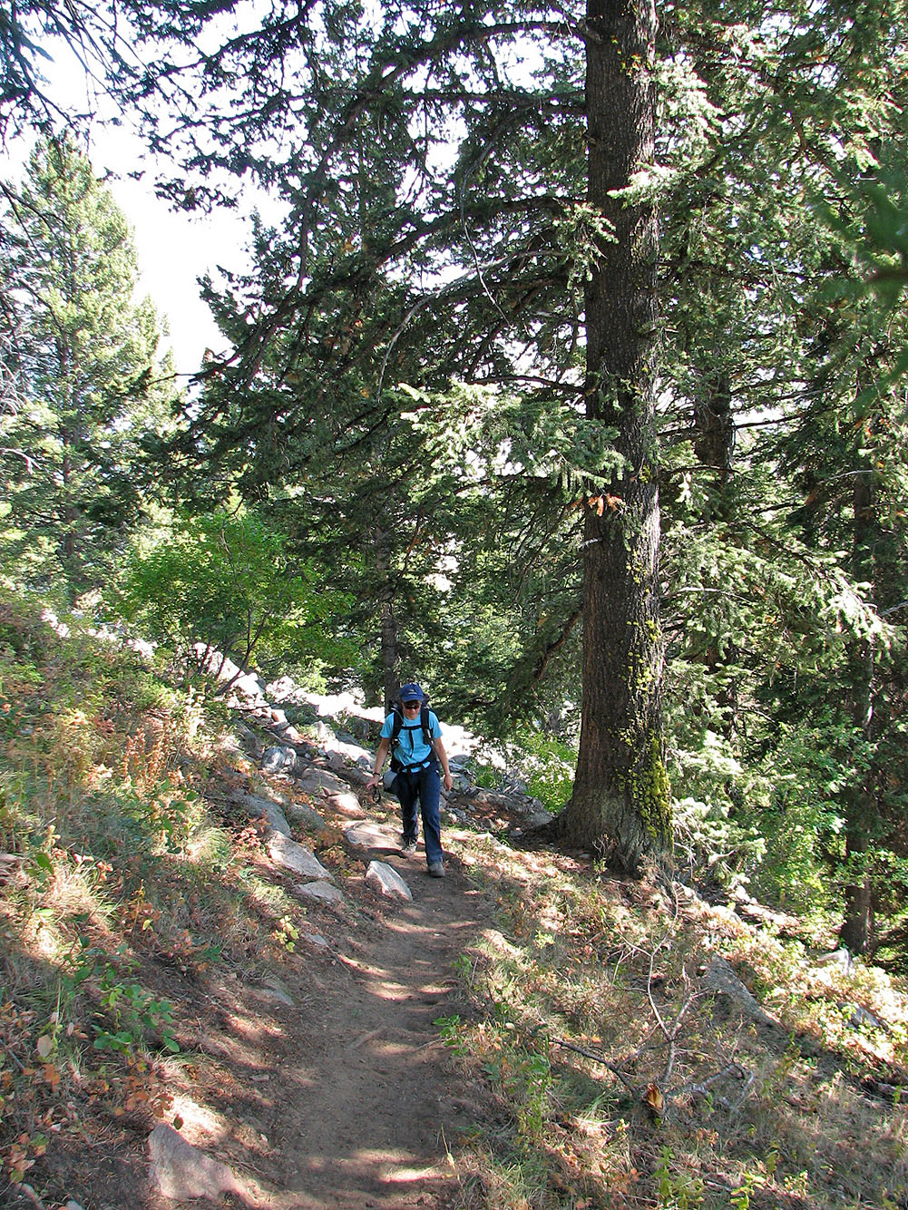
Starting up the trail
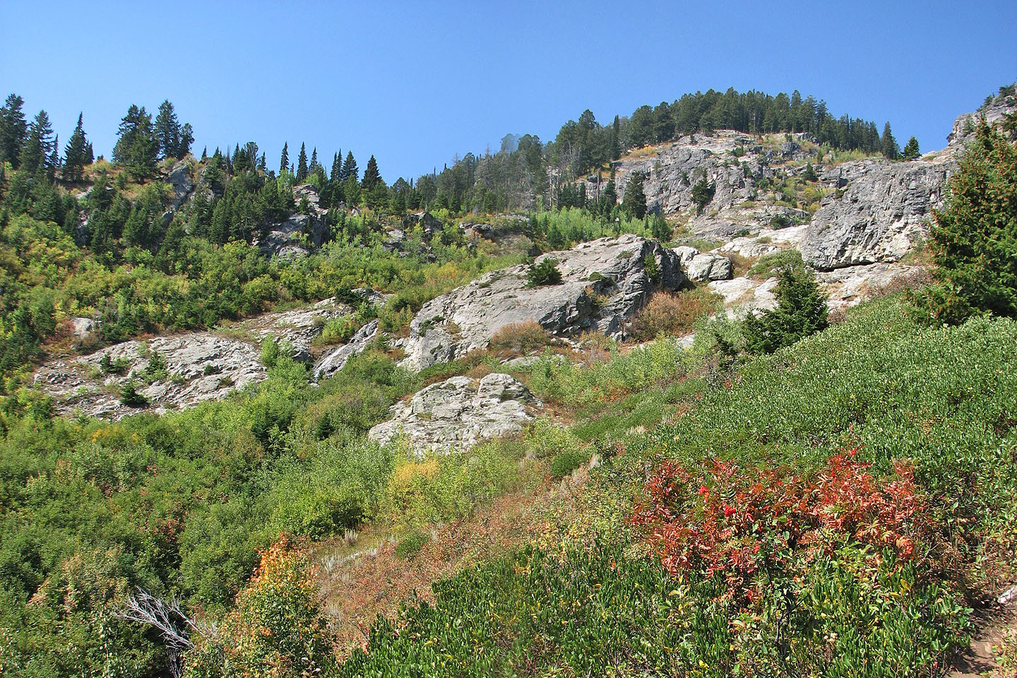
Some nice scenery along the way
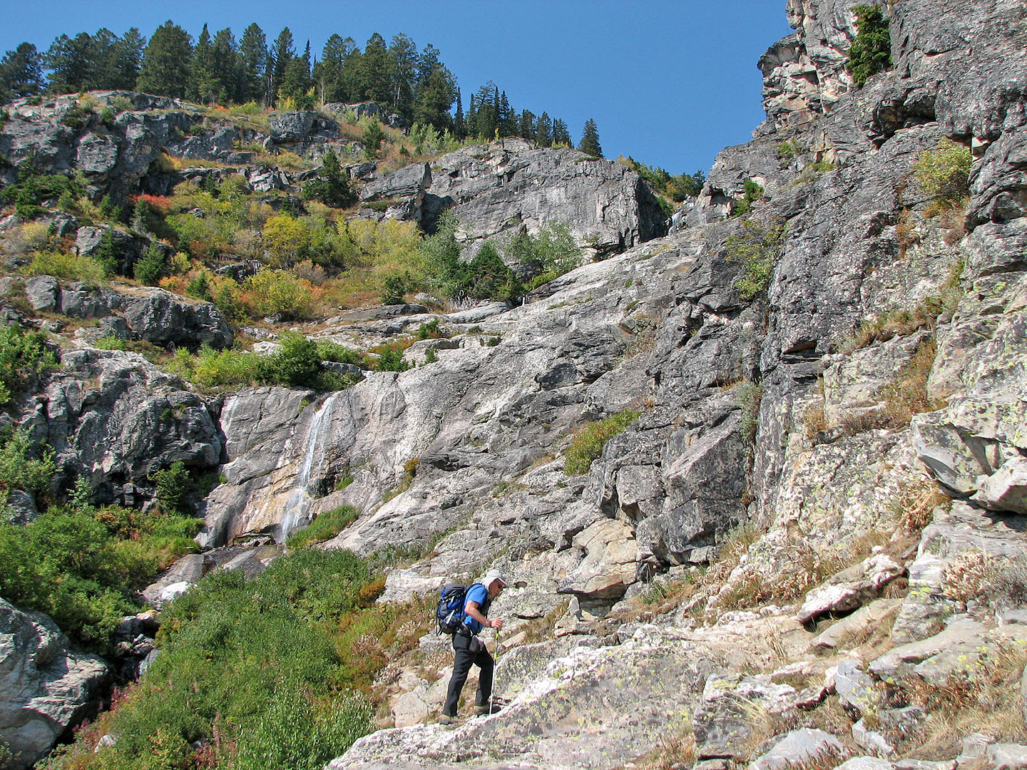
A waterfall near the start
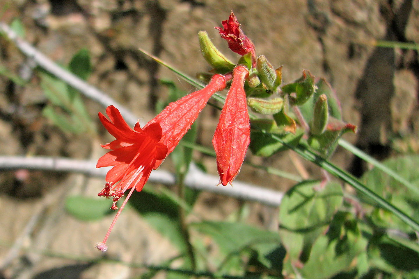
Scarlet gilia
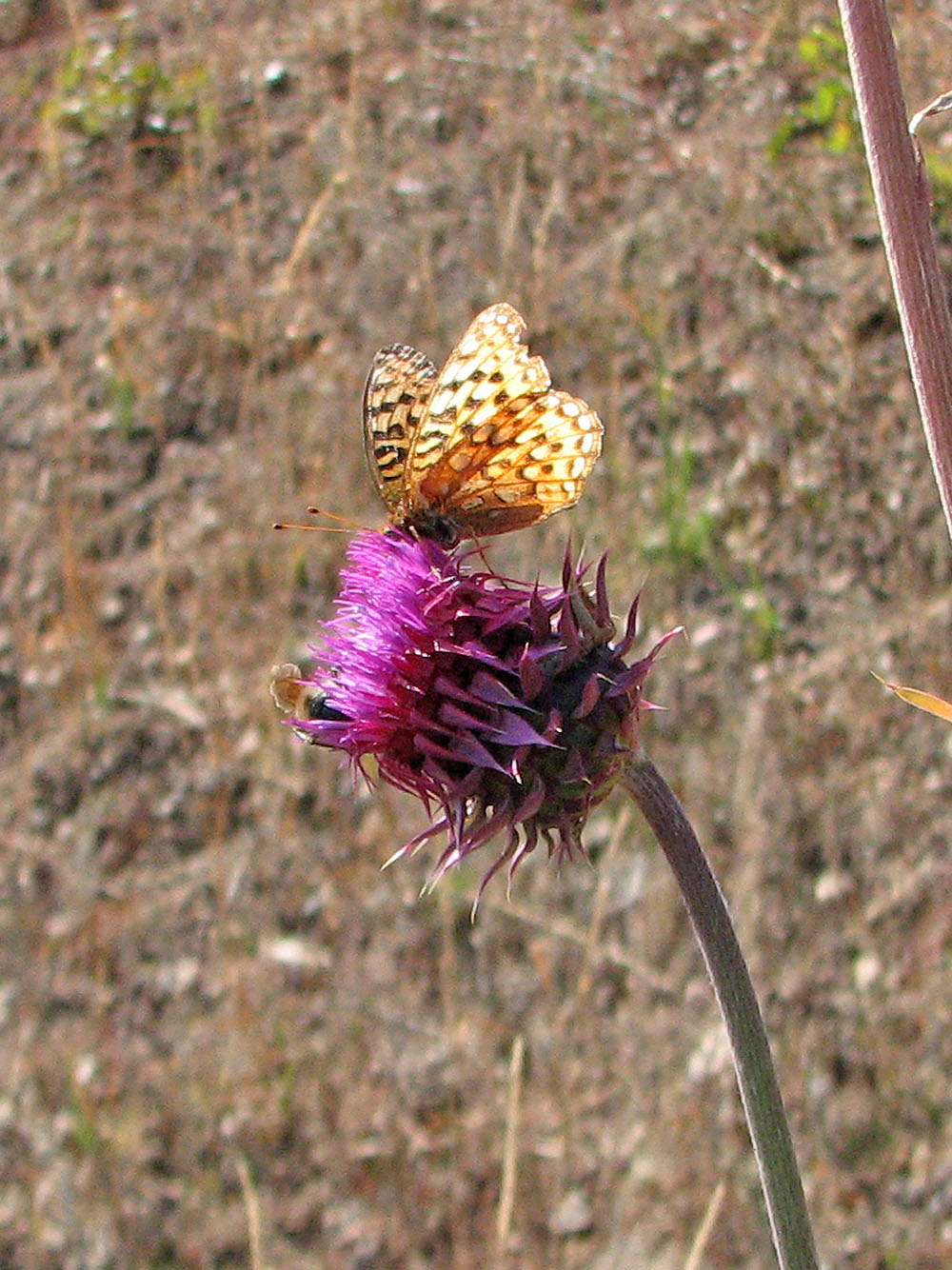
Butterfly on a thistle flower
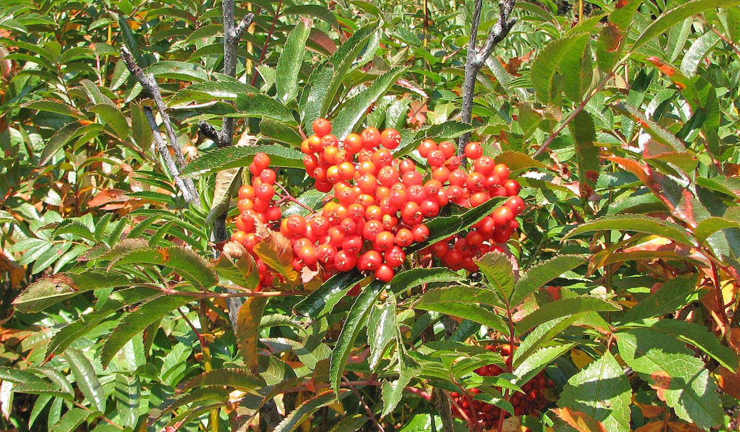
Mountain ash
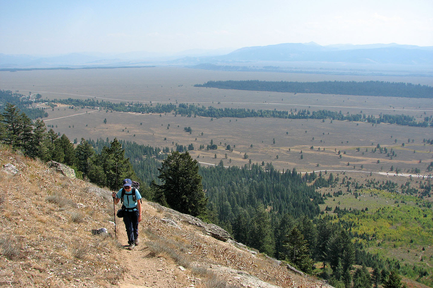
Sage brush covers the plain to the west
Open meadows allowed us views of the summit ...
But the temperature was 31°C so we tried to stay in the trees
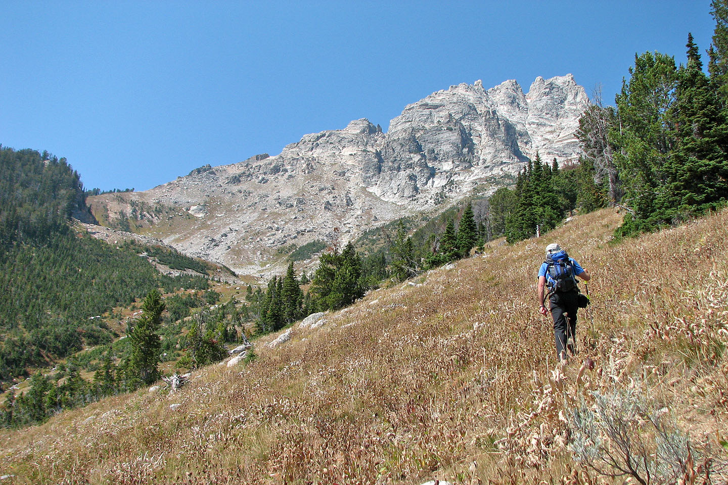
We're still 700 m below the summit
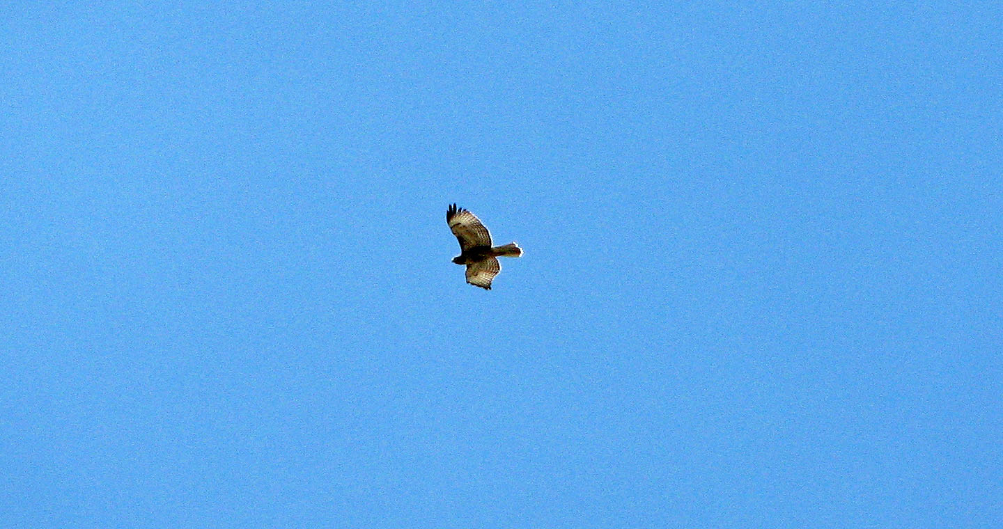
We often heard the cries of hawks
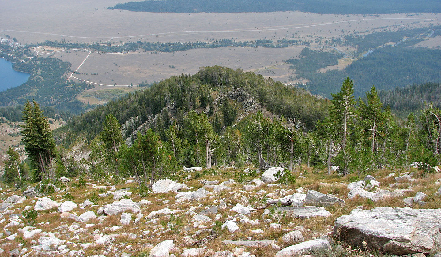
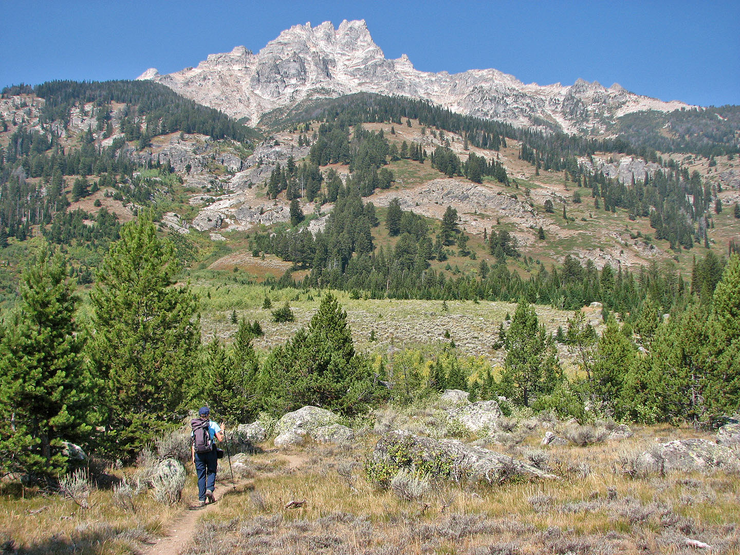
Looking back after climbing above the treeline
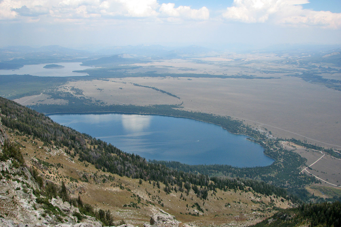
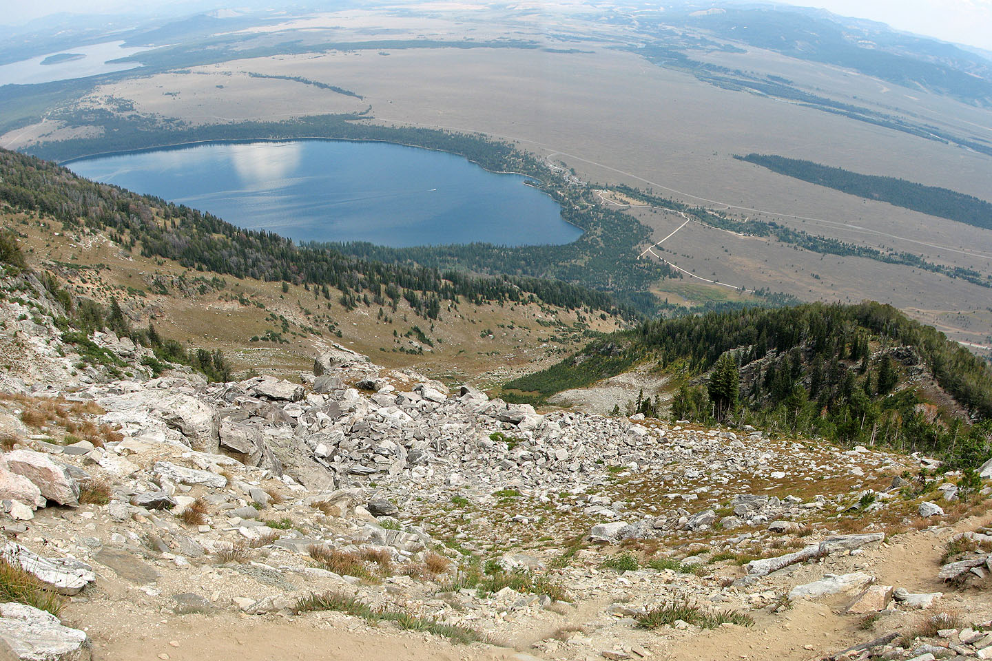
Jenny Lake (foreground) and Jackson Lake (upper left)
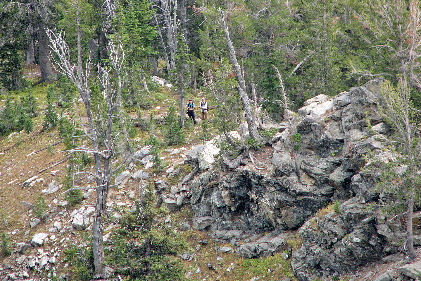
Dinah stayed by the rock outcropping in the trees while I continued up.
She talked to Phil from Denver who was on his way down (mouse over).
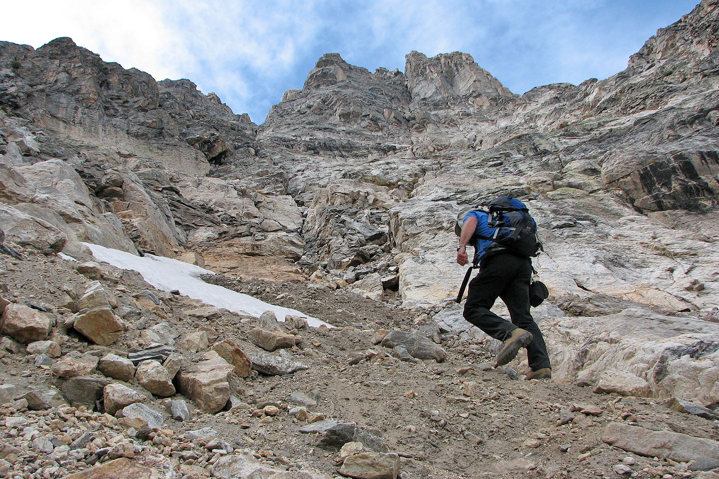
The summit is still well above me
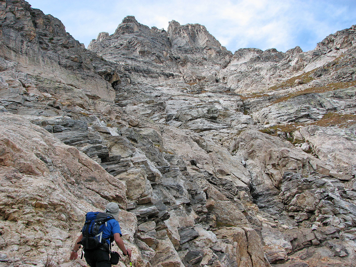
From here it was possible to traverse right to reach easier terrain, but this is as far as I got
Grand Teton and Moose Topo ( 4.6 mi, 10,826 ft, 4101 ft)