bobspirko.ca | Home | Canada Trips | US Trips | Hiking | Snowshoeing | MAP | About
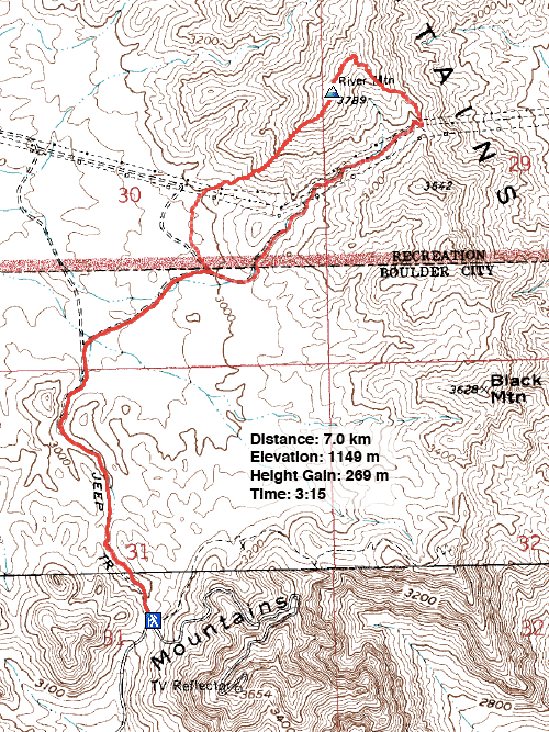
River Mountain
Boulder City, Nevada
April 20, 2016
Distance: 7.0 km (4.3 mi)
Cumulative Elevation Gain: 345 m (1132 ft)
After climbing Red and Black Mountains near Boulder City last year, it was only natural that Dinah and I return to do the slightly higher River Mountain to the north. This short hike is not particularly scenic – more of a leg-stretcher when time is short, and you feel the urge to sign a summit register.
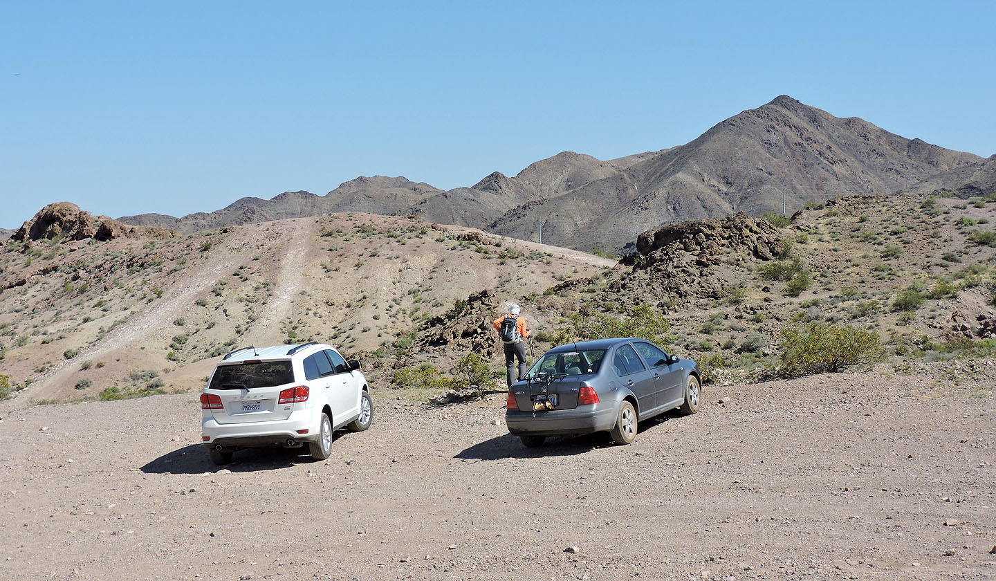
Unlike Red and Black, we didn’t start River from the city. Instead, we drove up Bootleg Canyon Road, a smooth, dirt road that is a continuation of Canyon Road off of Hwy. 93. We parked in a parking lot on the west side of Red Mountain. From there, we set off on foot down a 4WD road on our left, dropping 70 m down to the broad desert valley below.
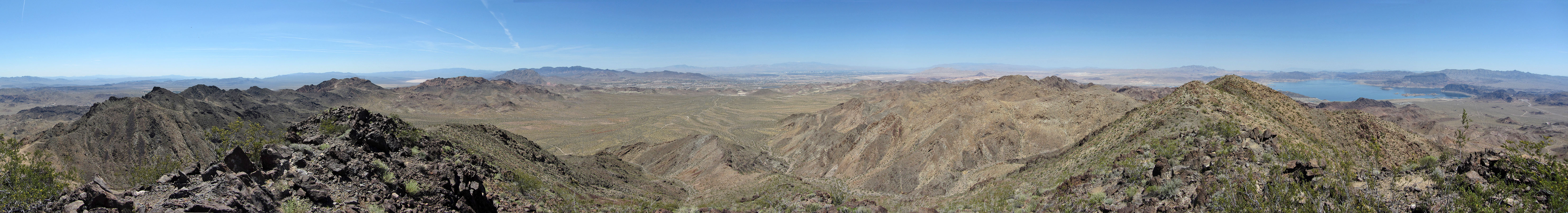
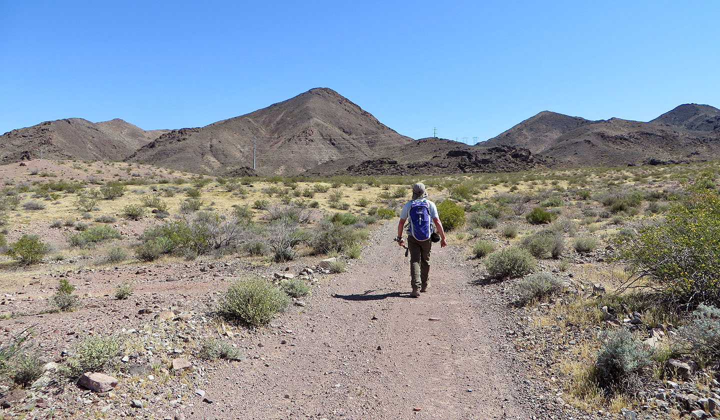
Dirt roads crisscross much of the area so it was easy to link together a few of these to create a walking route. The valley was unremarkable except for being remarkably dull. Cacti and yuccas that prettify other desert landscapes are virtually missing here. We rarely saw any cacti, and all appeared stunted. A solitary yucca adorned the centre of the valley. No flitting birds or scurrying lizards caught our eye.
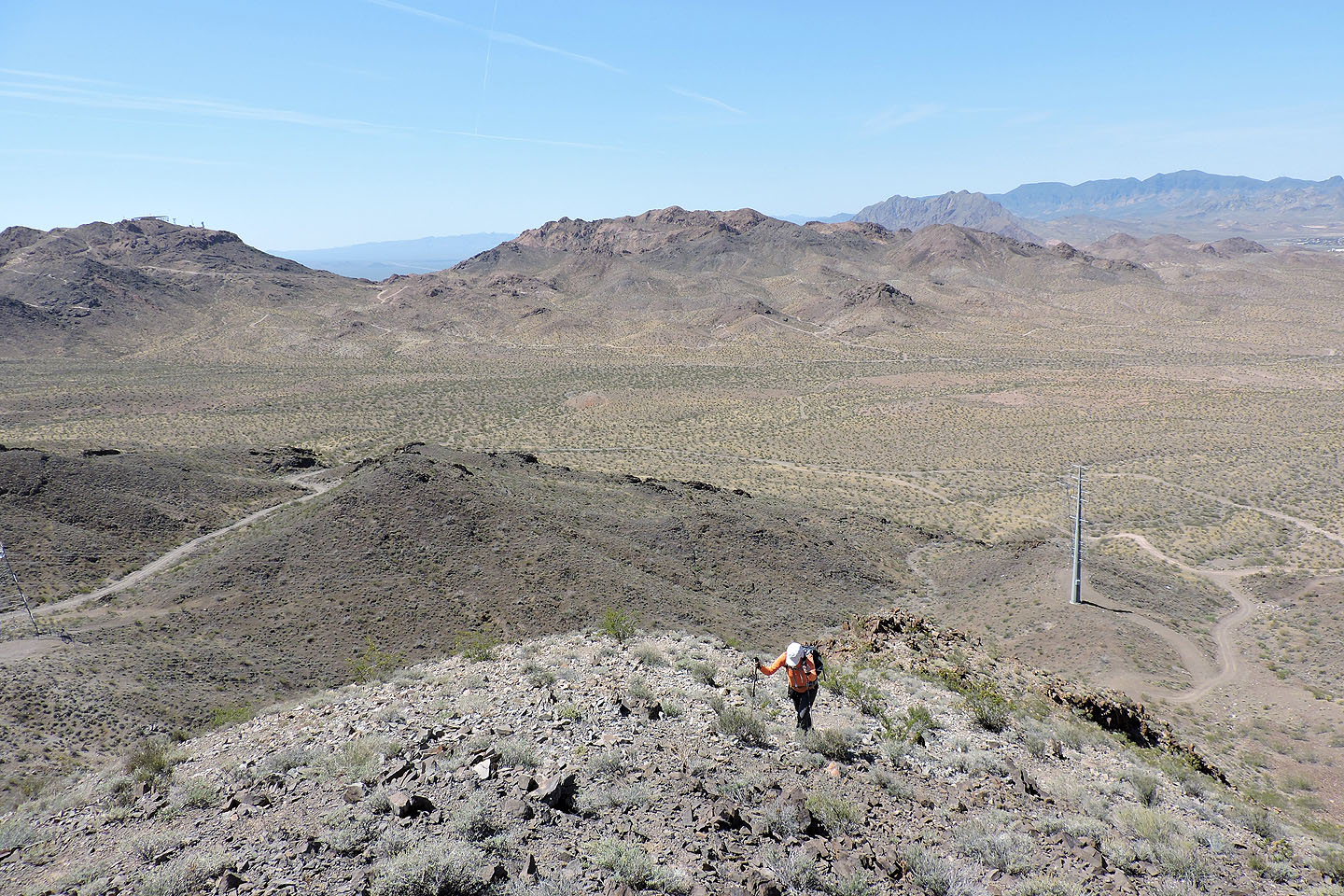
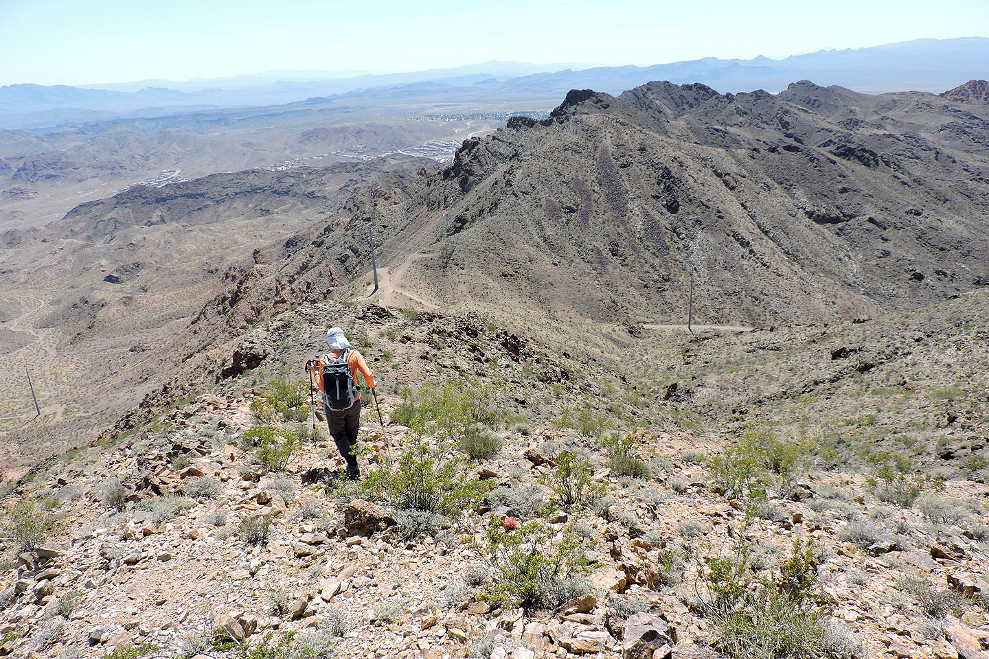
So we welcomed a change of pace when we left the road and started hiking up the southwest ridge. The trailless ascent over rocks and through knee-high bushes led us to the summit. There we found a register in a metal ammo box and a worthwhile view of Lake Mead. After a short stay, we continued to the end of the ridge before following a trail down to the saddle on our right.
At the saddle, we had lunch in the shade of a huge hydro pole, one of many strung across the desert here. After lunch, we followed a powerline road back to the valley, back to a road we had been on earlier. We walked back up to the parking lot. So quick was this trip that we were back in Vegas before the mid-week rush-hour began.
River Mountain seen from the parking lot
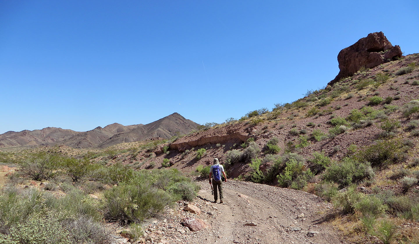
Walking down the road to the valley
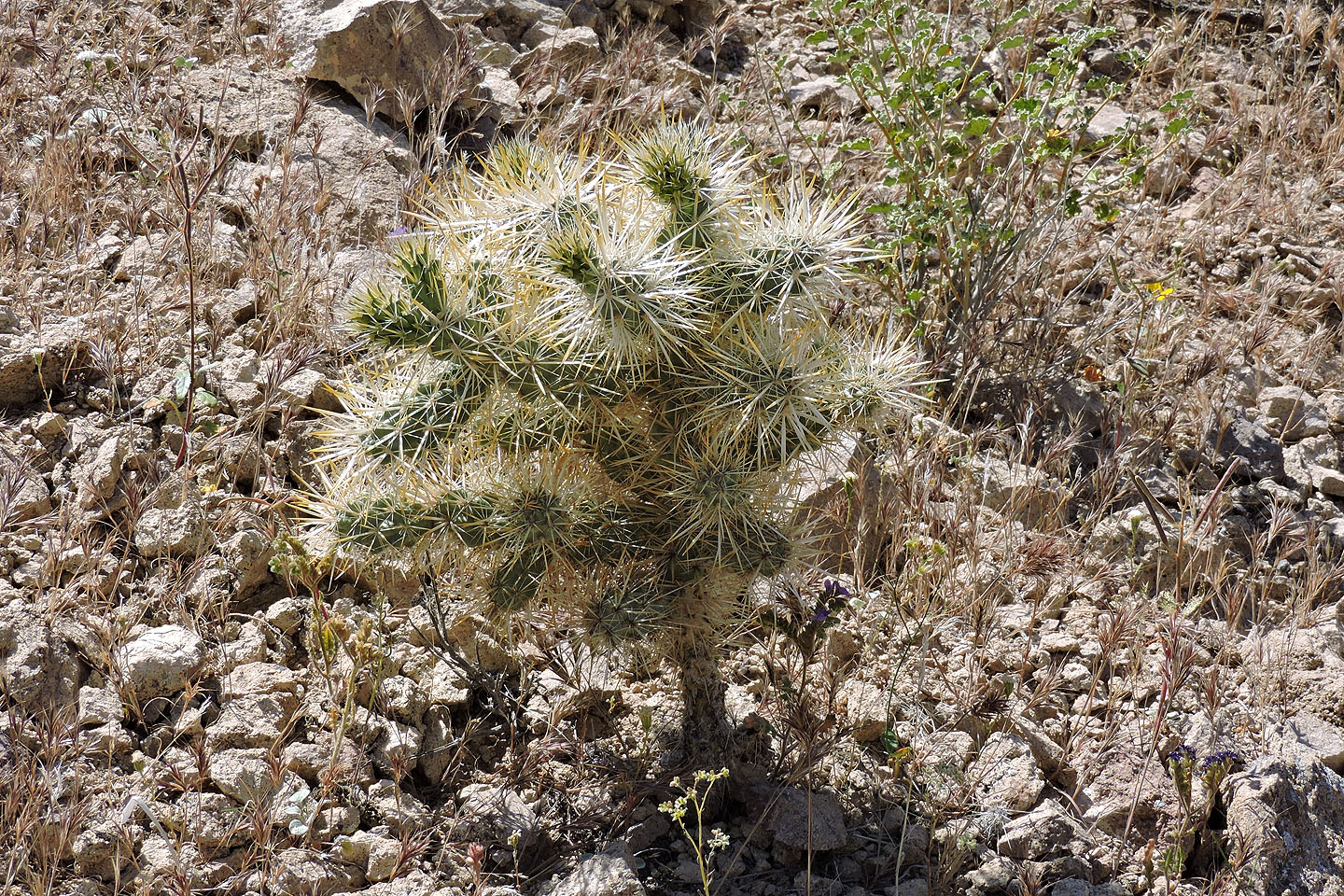
What few cacti we saw – like this cholla – were small
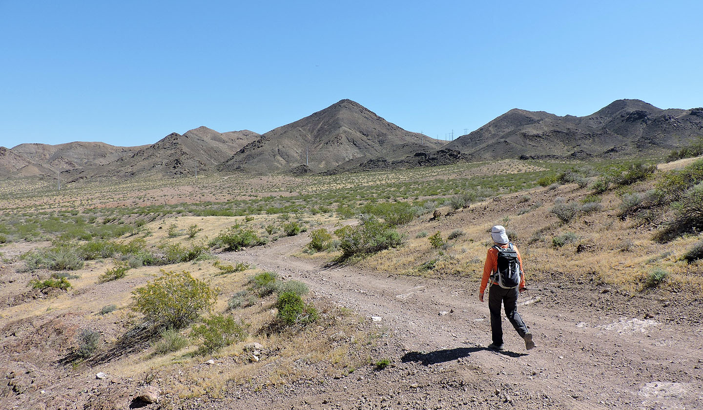
We followed roads to River Mountain
We'll end up at the base of the northwest ridge
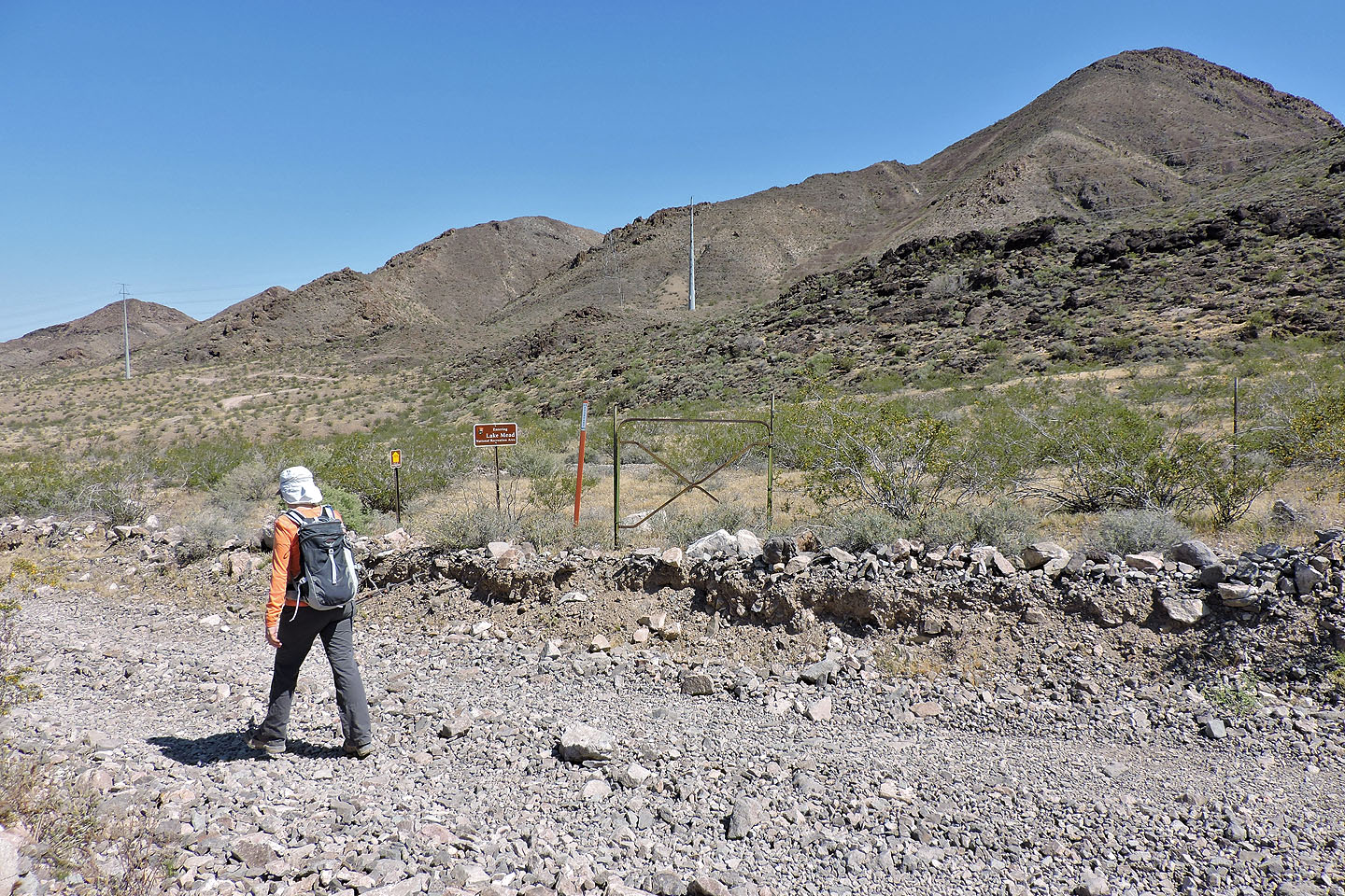
A sign indicates we are entering Lake Mead National Recreation Area
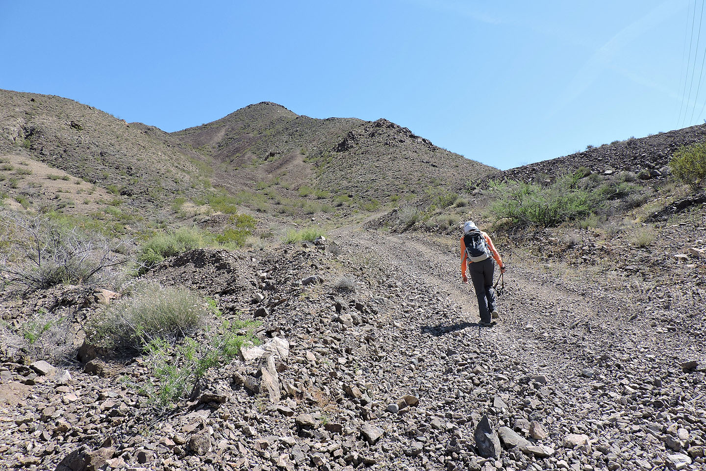
Walking up the last road to the southwest ridge
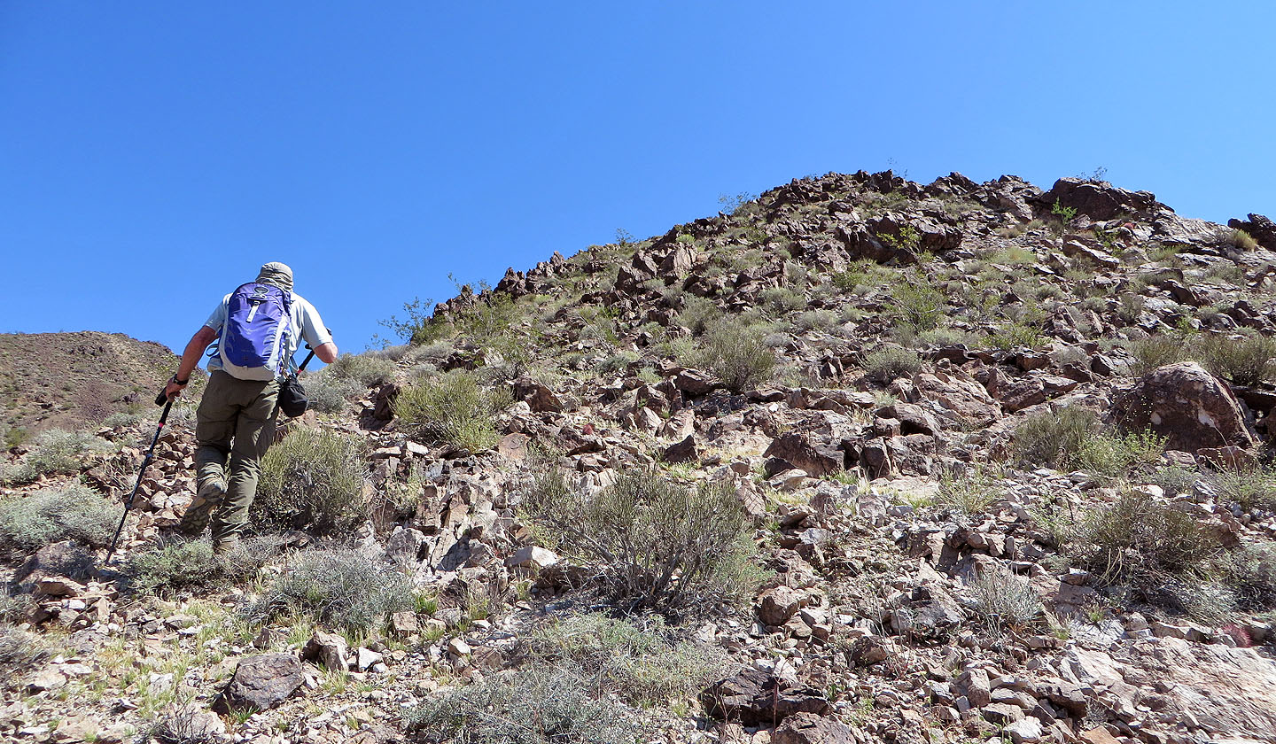
Starting up the ridge
Looking back: we came up the road on the right but descended on the road
on the left
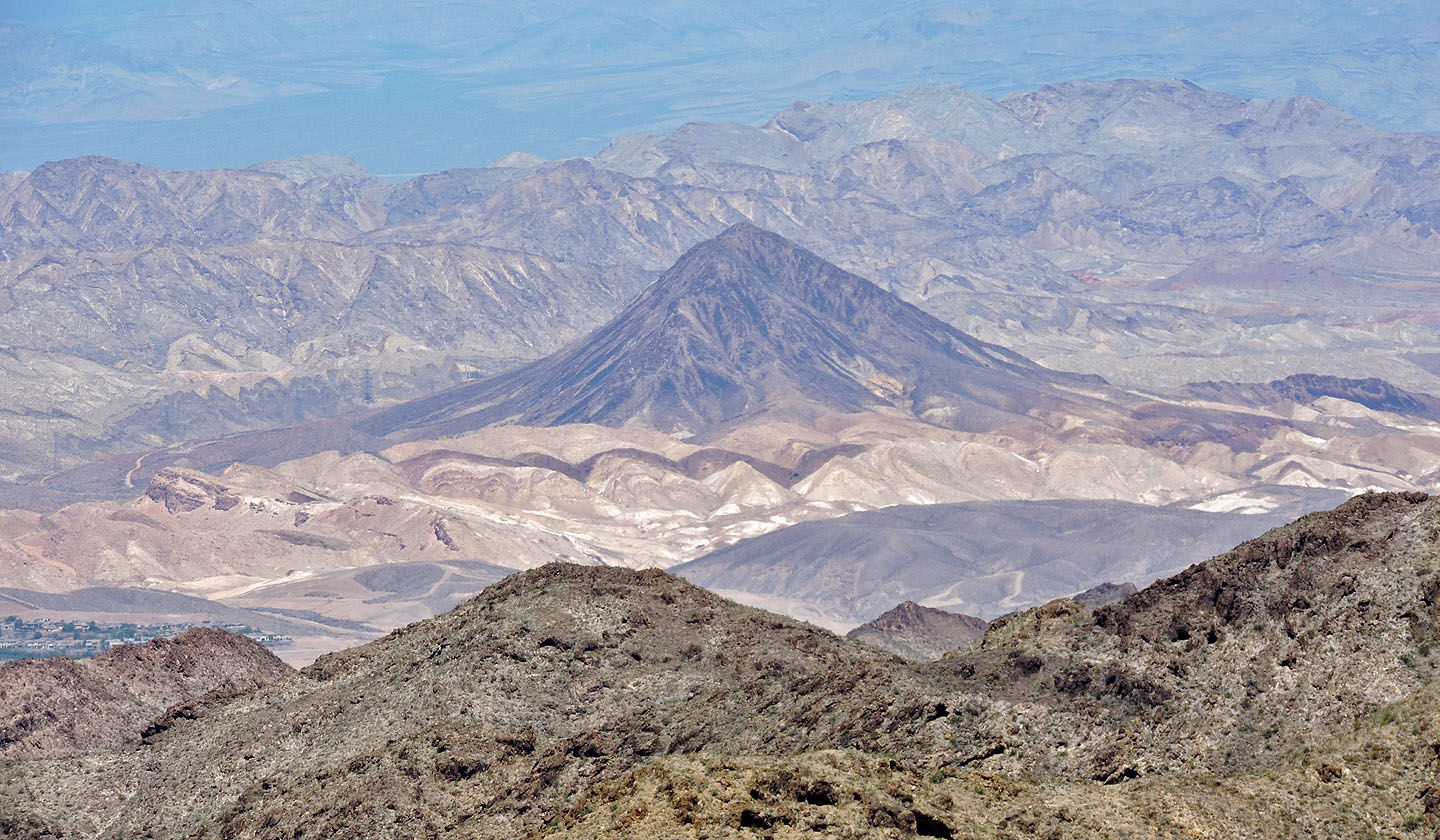
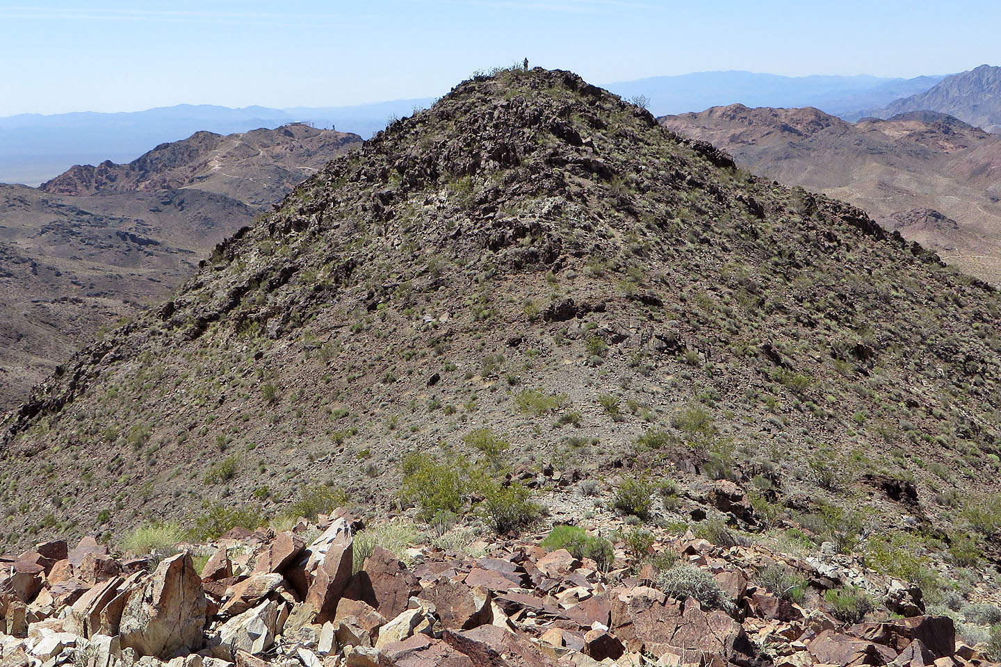
Lava Butte lies north
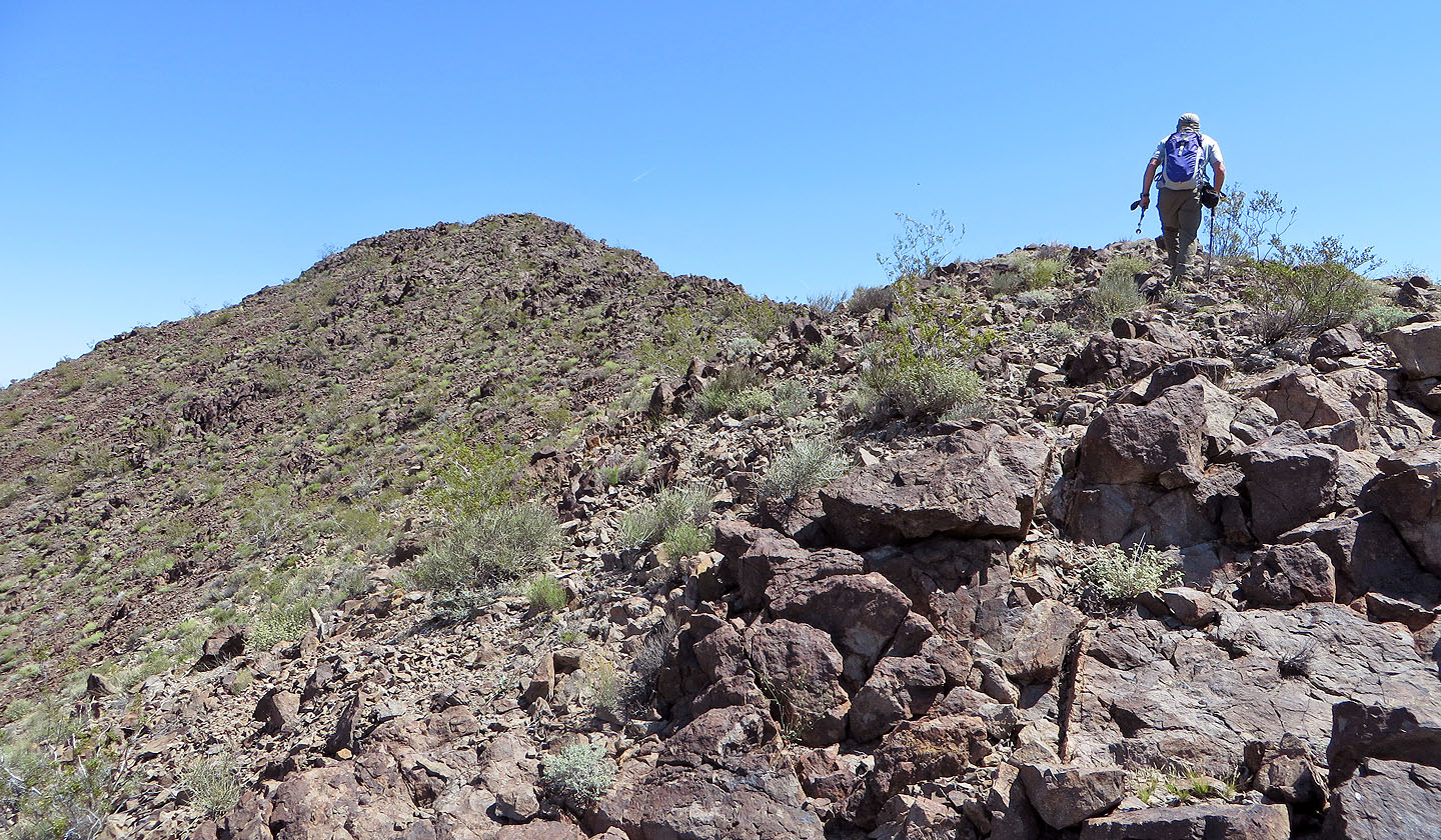
After encountering a couple of false summits, the true summit comes into view
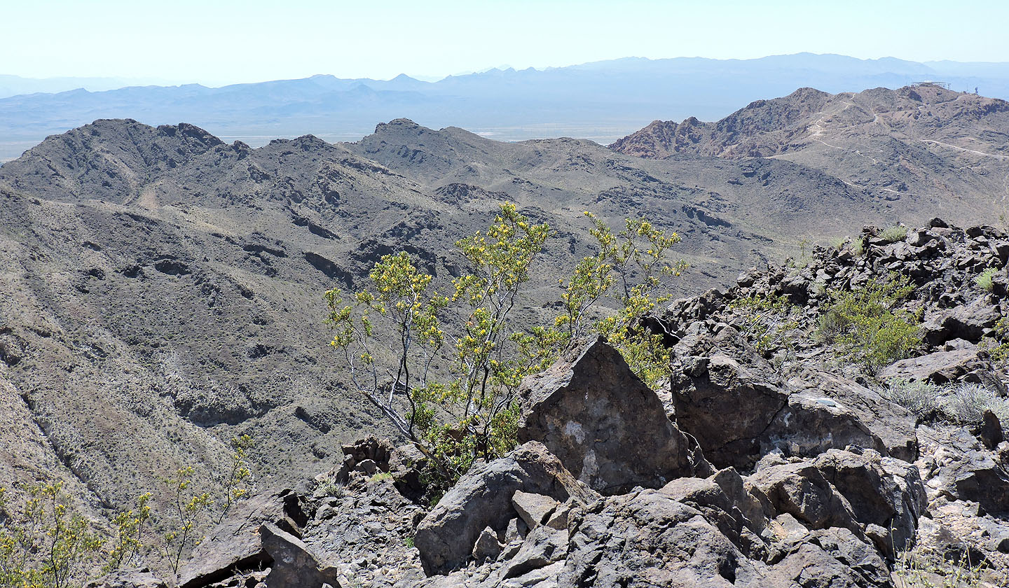
Far left and far right are Black Mountain and Red Mountain
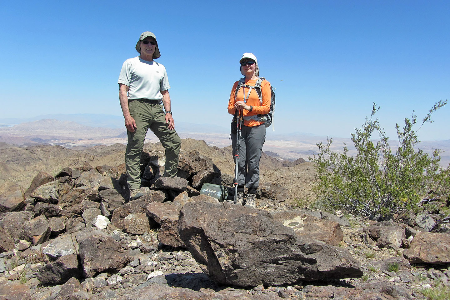
The green ammo box holds the summit register
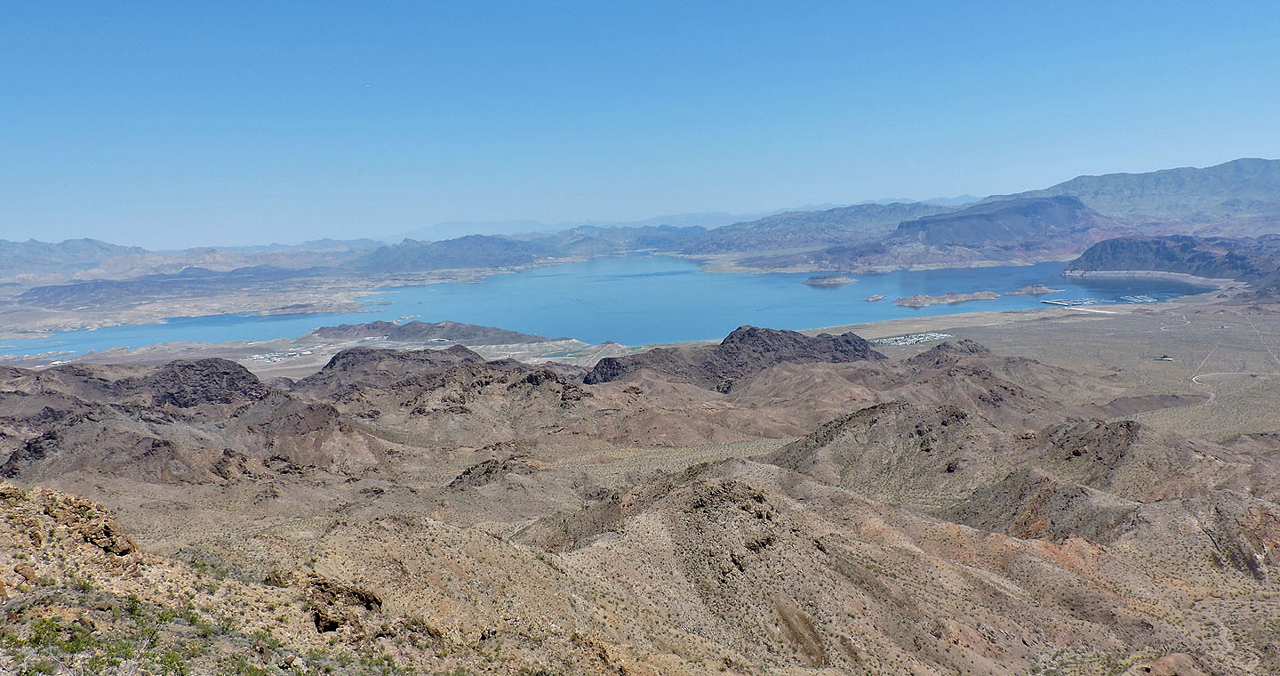
Lake Mead. Fortification Hill on the left.
Dinah continued along the ridge and took this photo of me on the summit (mouse over for a close-up)
Heading down to a saddle where we will walk down a road
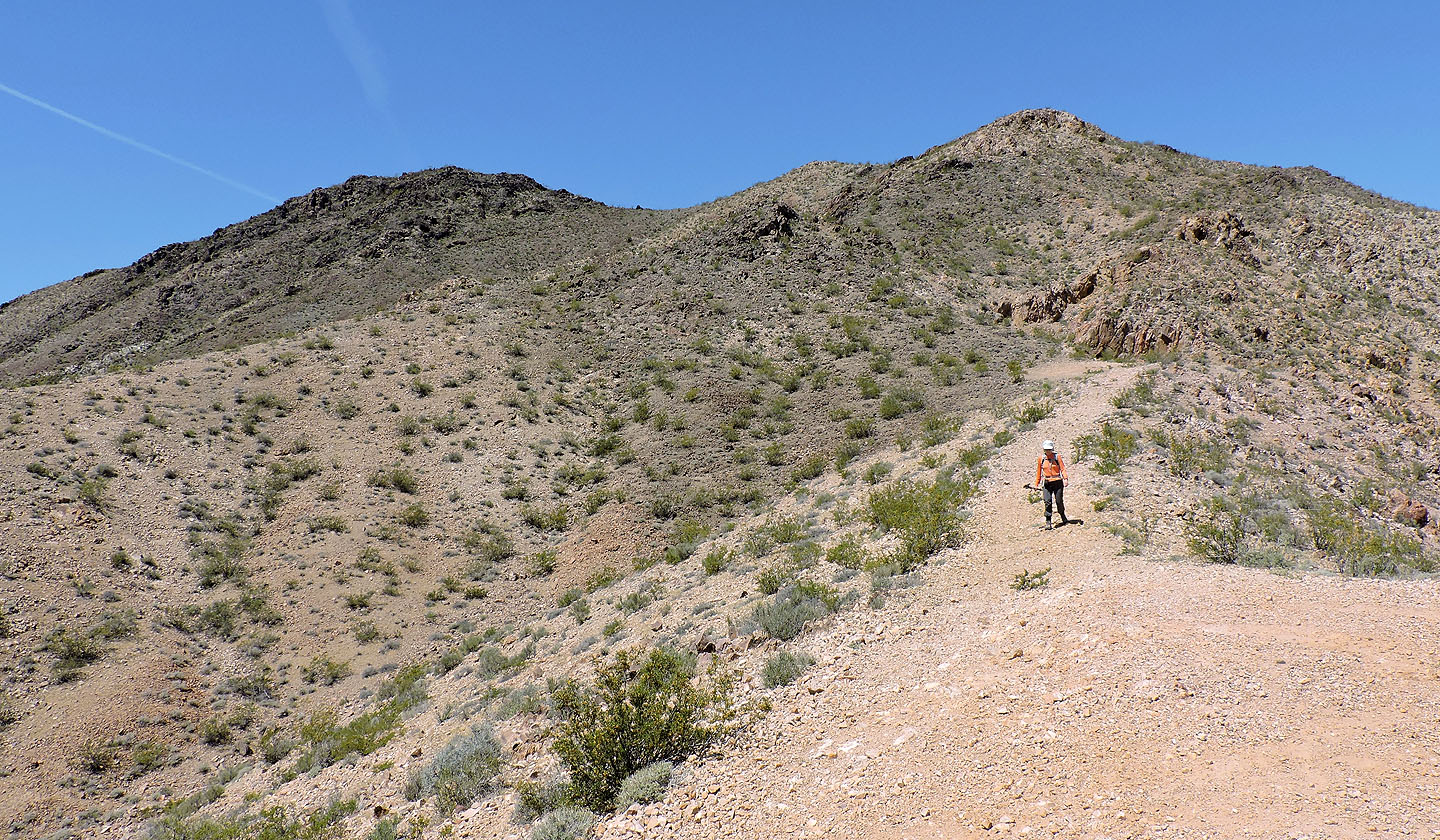
Looking up at the summit (left) from near the saddle
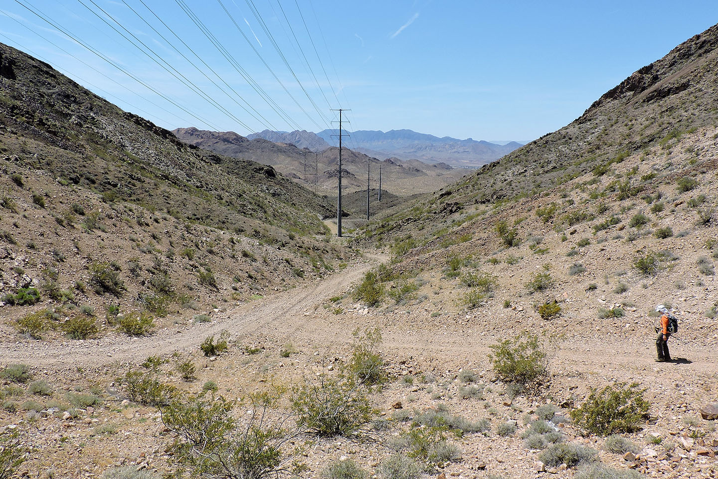
This road leads back to the valley
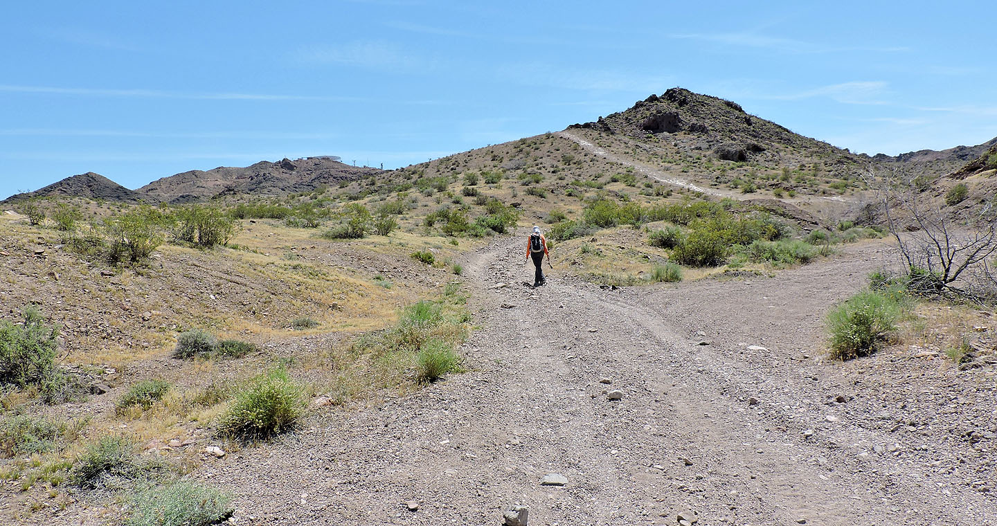
Walking back up the road to the parking lot
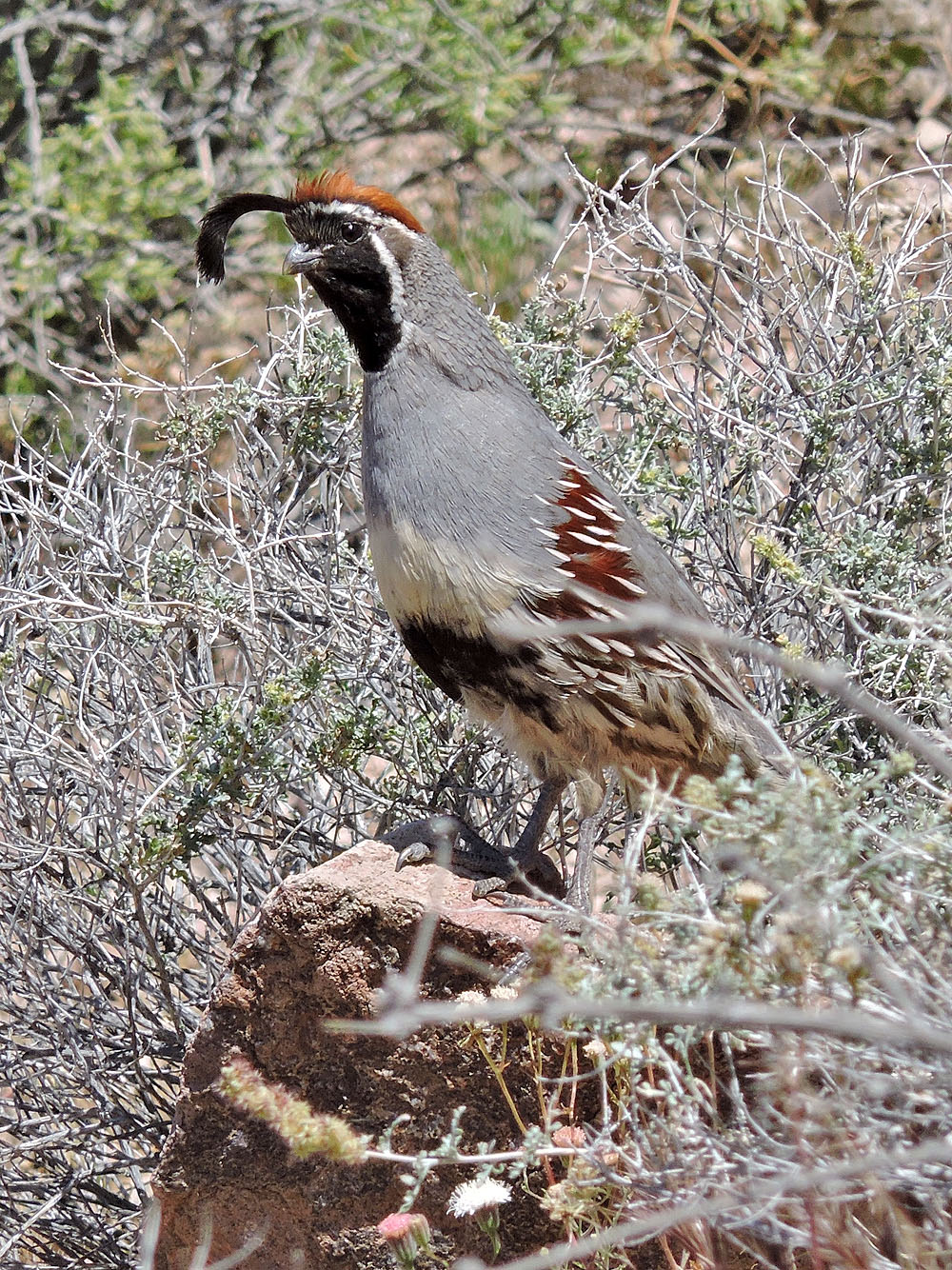
Gambel's quail
Boulder City and Boulder Beach (4.3 mi, 3770 ft, 883 ft)