bobspirko.ca | Home | Canada Trips | US Trips | Hiking | Snowshoeing | MAP | About
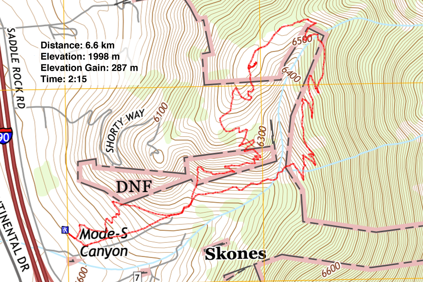
Maude S Canyon Loop
Butte, Montana
September 6, 2023
Distance: 6.6 km (4.1 mi)
Cumulative Elevation Gain: 300 m (984 ft)
Butte is home to the fourth largest statue in the US, but a bigger draw for Dinah and me is nearby Maude S Canyon Loop. The short hike would be a welcomed break from our long drive that day. The trail runs two loops joined by a short path. We completed the hike by keeping right.
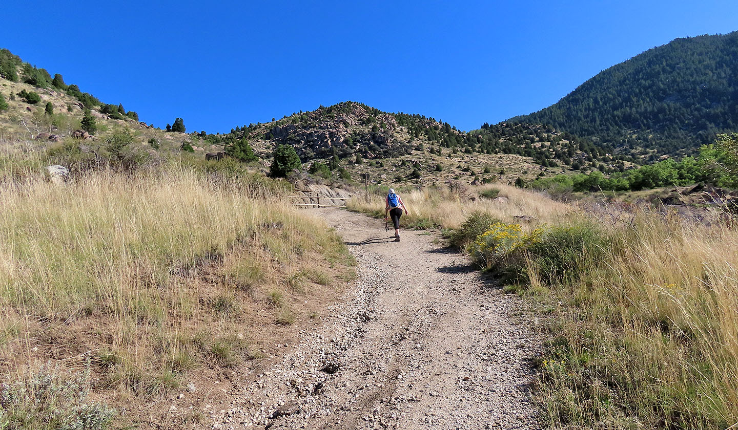
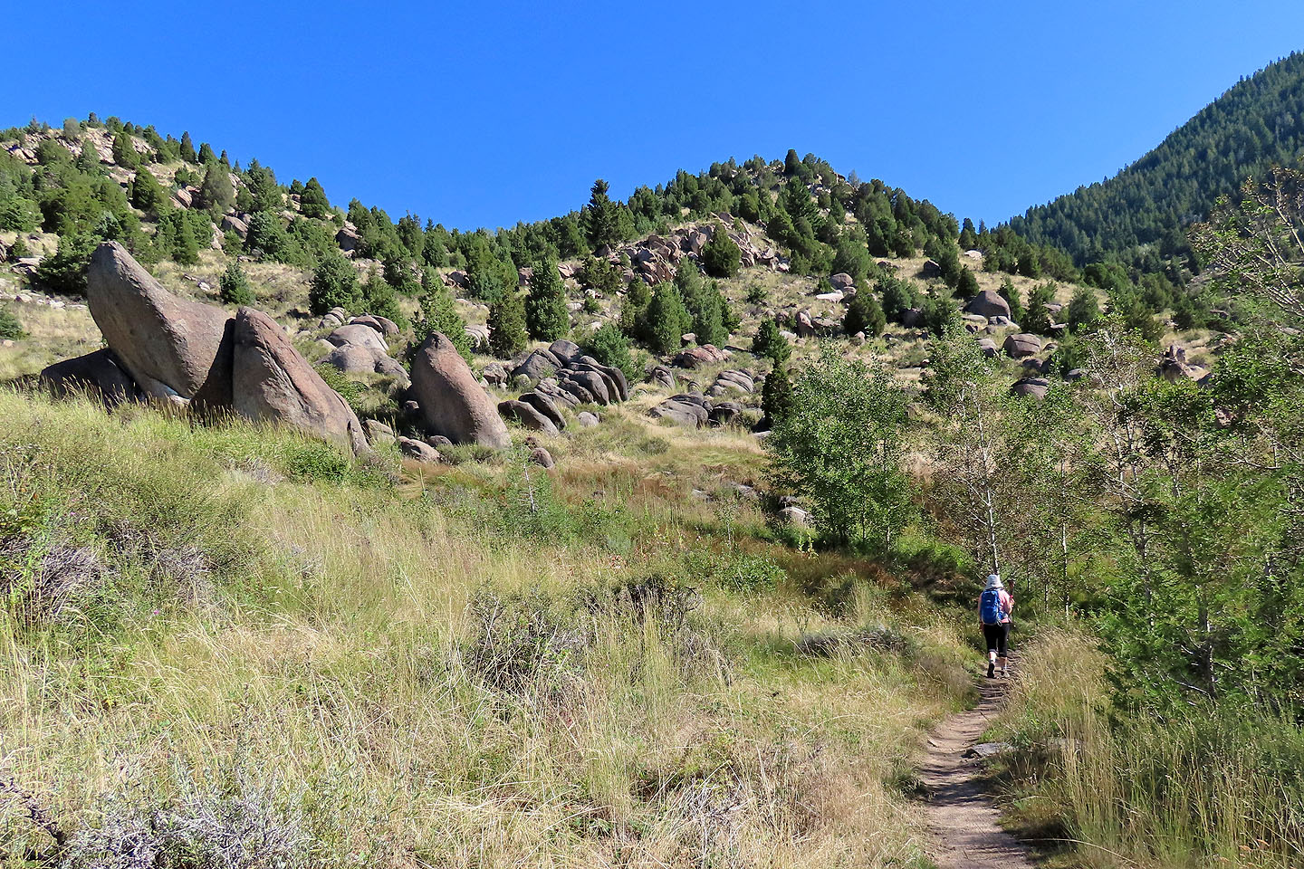
From the parking lot, we followed the trail as it runs up the lower slopes of the Continental Divide. Eventually, it turned and started up the right side of a canyon. Trees were few, so we could view the valley behind us as well as nearby boulder-strewn meadows.
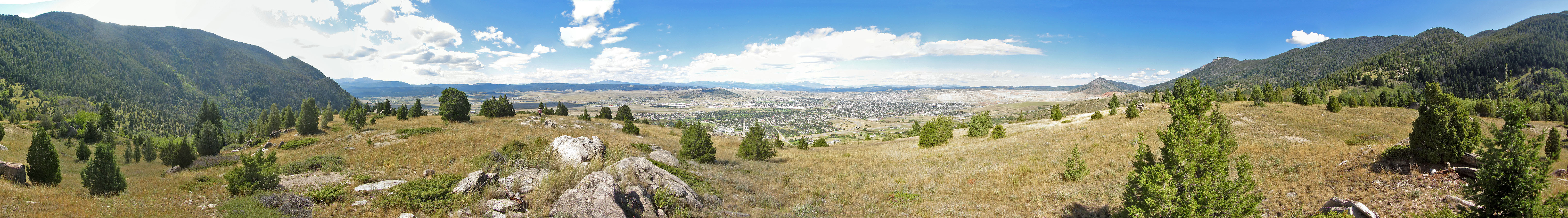
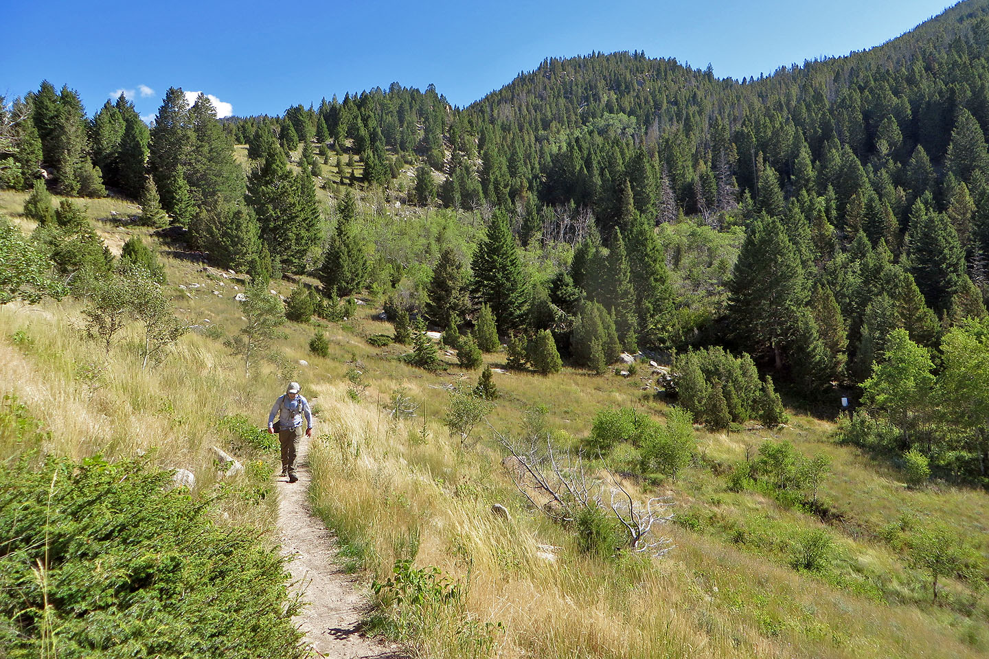
The trail tops out on the ridge where it intersects a trail running up to the Continental Divide Trail. It may seem attractive to reach the Divide, but the dense forest on the upper slopes prevents any views. We continued along the loop. We reached a modest, open bump, a summit of sorts, where I took a panorama. We could see Our Lady of the Rockies, although the 27-m statue was too far to discern details.
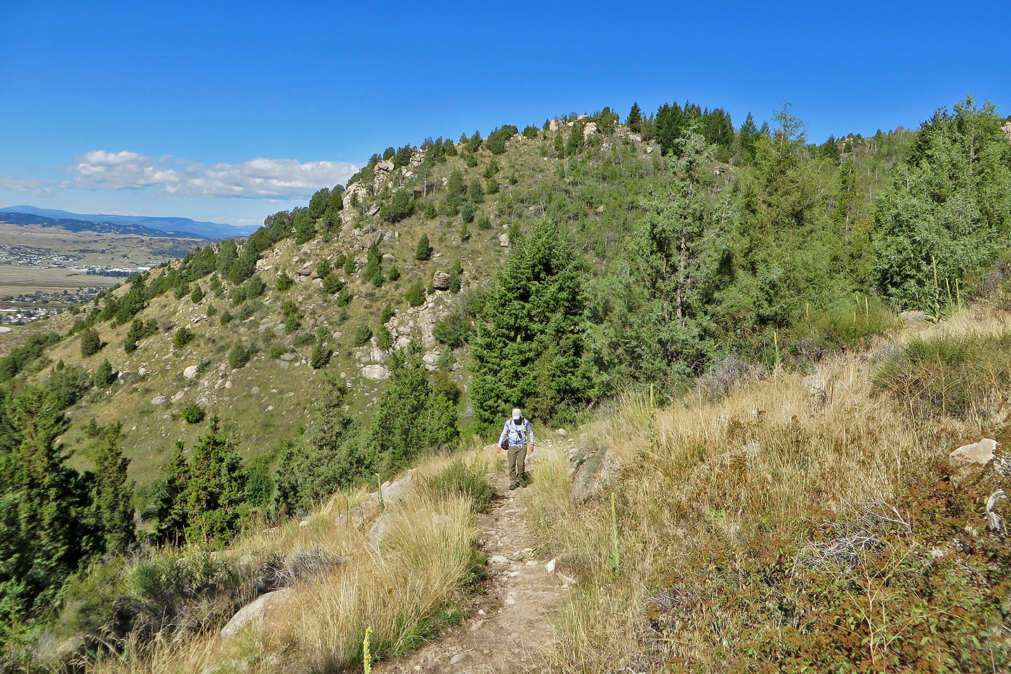
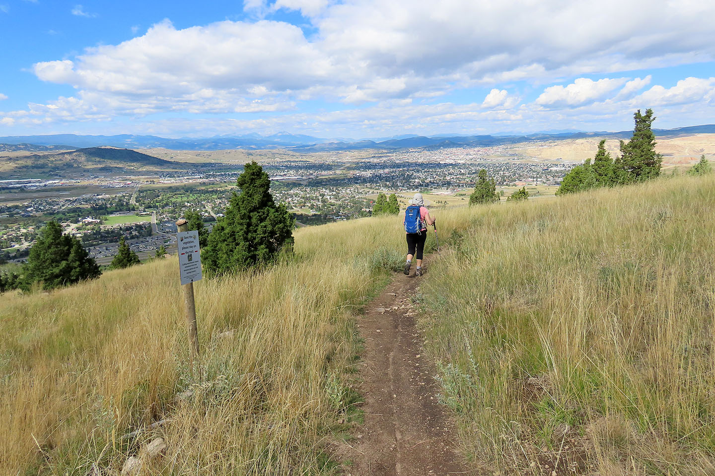
We continued down the trail with the town of Butte spread out in front of us. We returned to our car, refreshed from our short, pleasant outing and ready to continue driving.
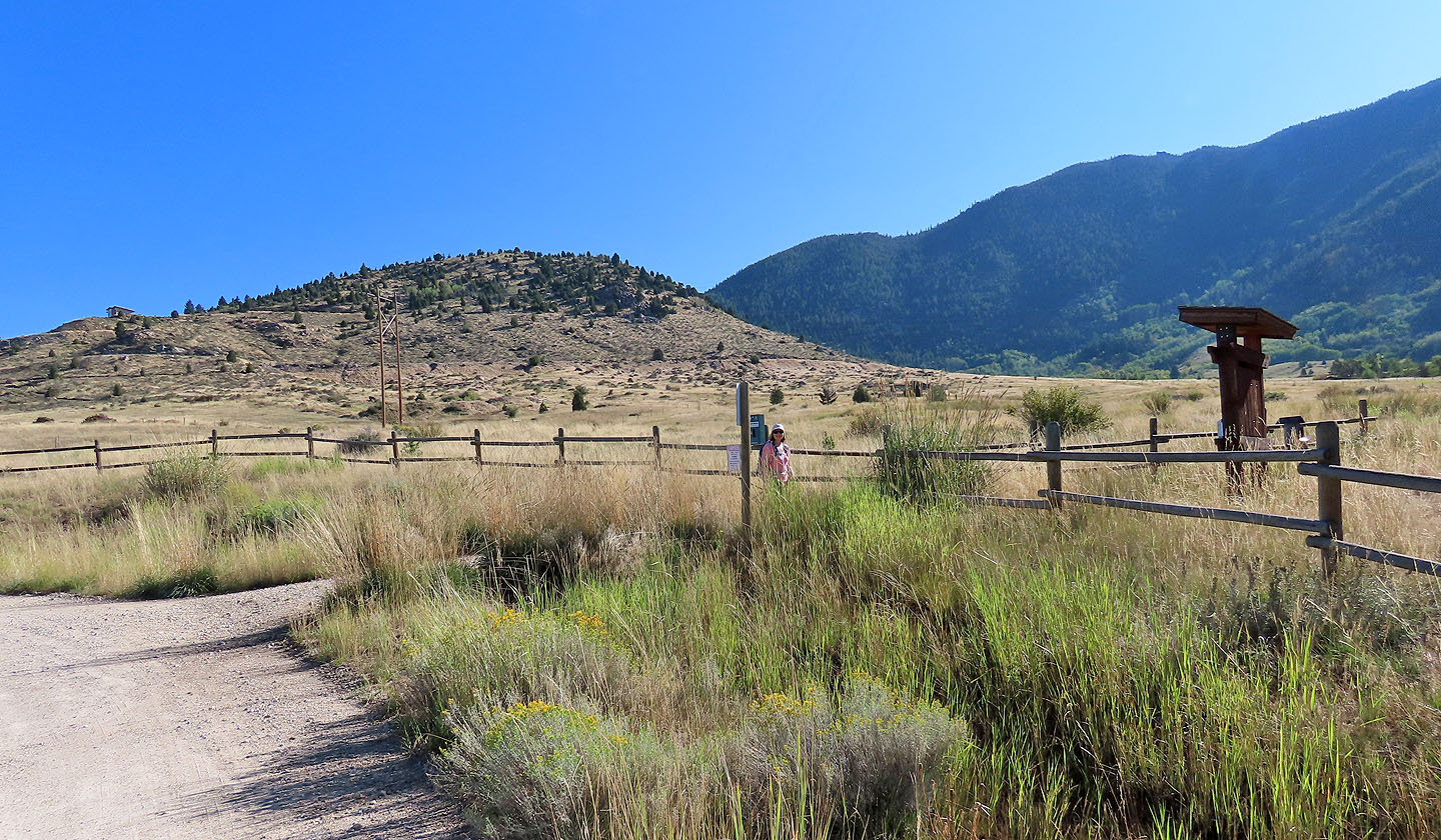 Starting on the trail
The trail leads to the saddle on the right
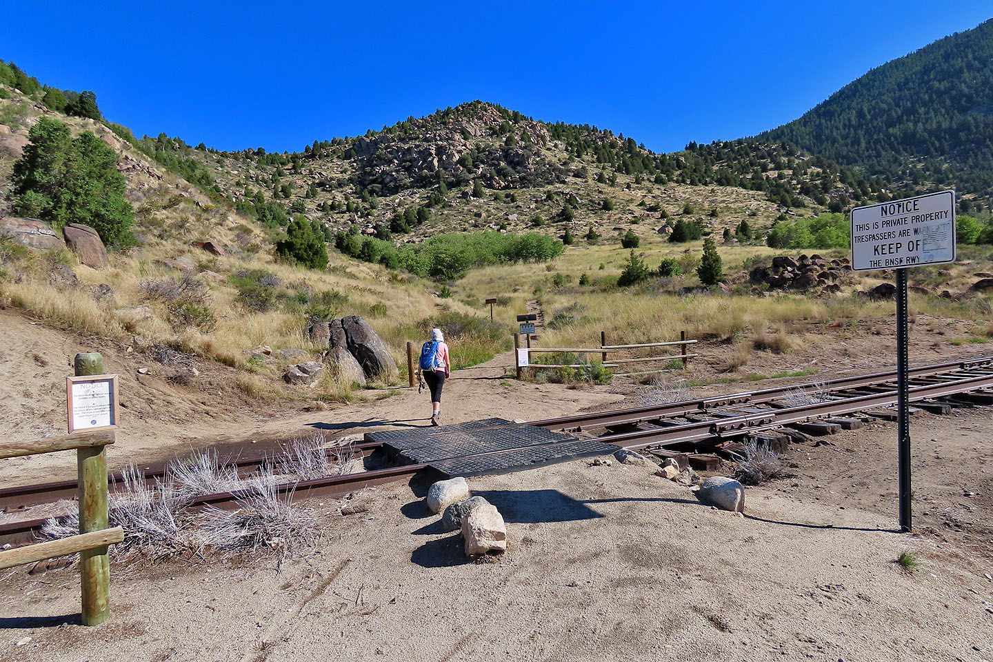 After the train tracks, the trail forks and we kept right
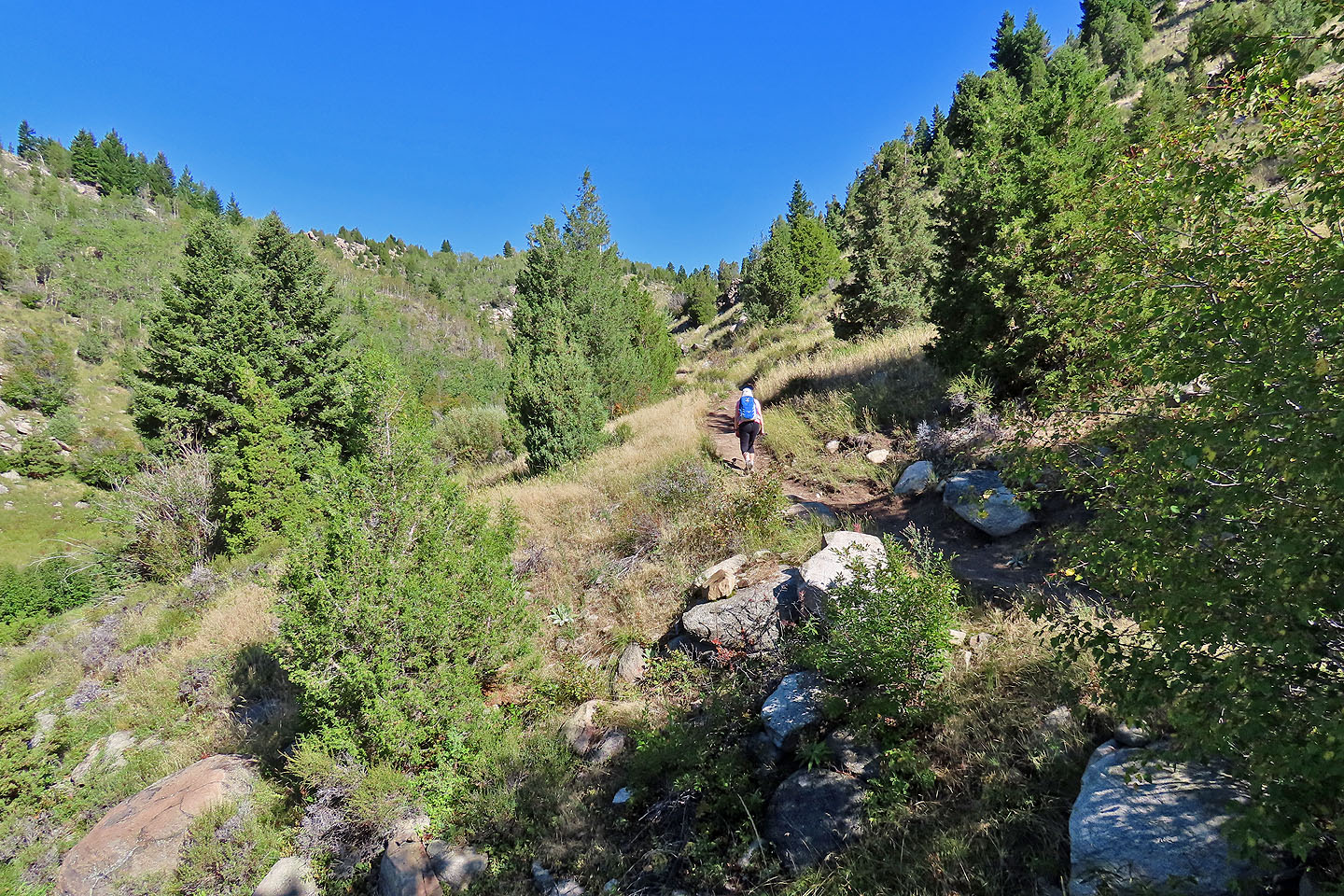
 The trail continues wending right
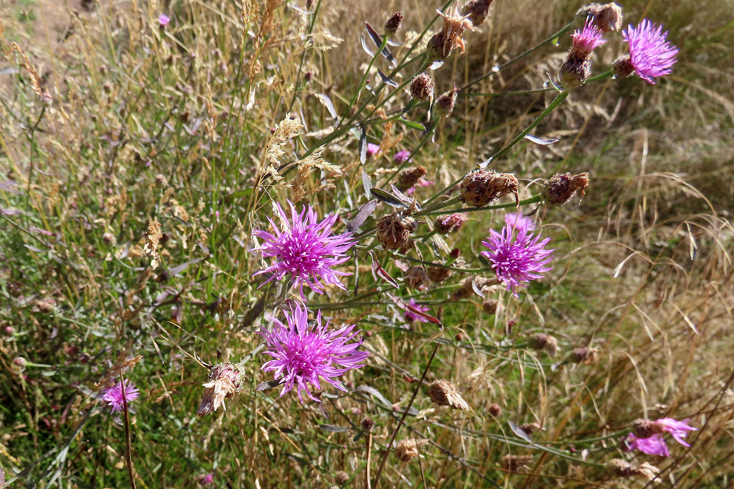 Thistles provided colour in the fading days of summer
The trail finally begins climbing the ridge
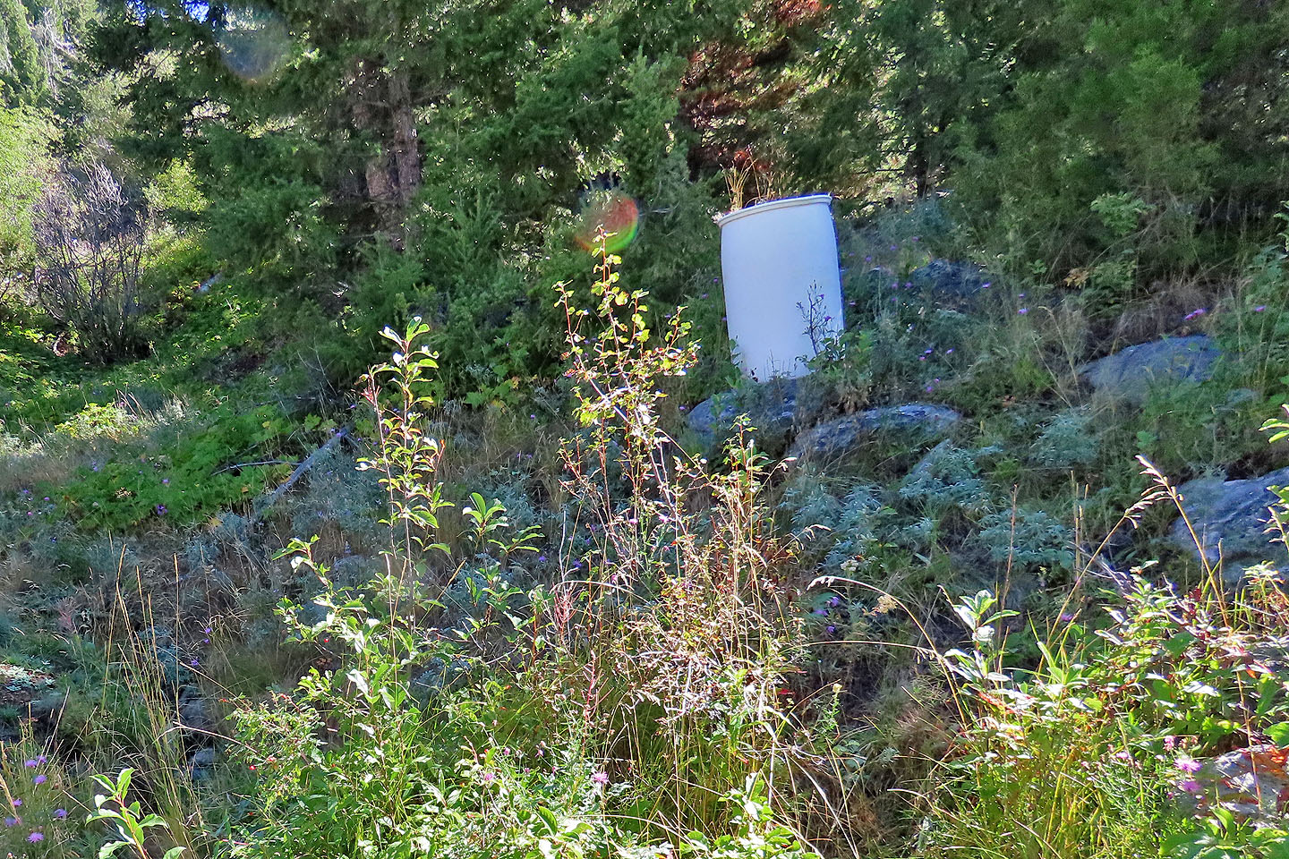 We passed barrels whose purpose we couldn't guess
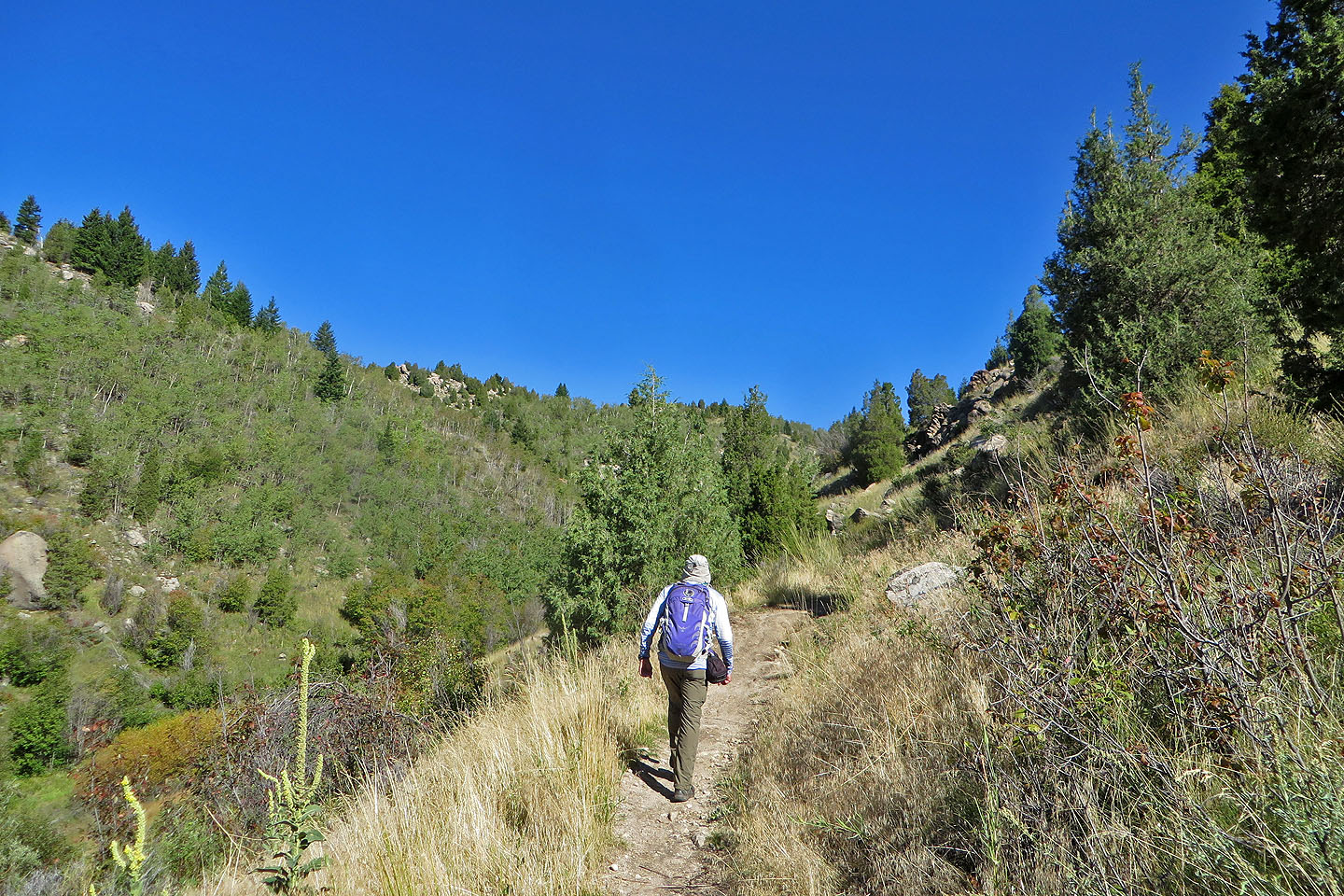
The trail ascends the right side of the canyon
 Looking back
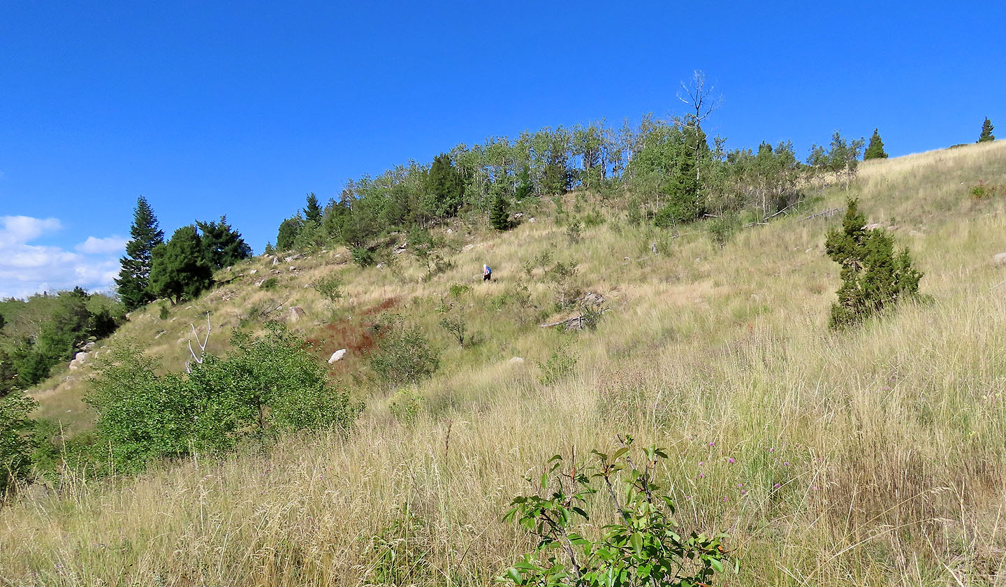
Dinah appears in the centre
Looking back at the forested Continental Divide
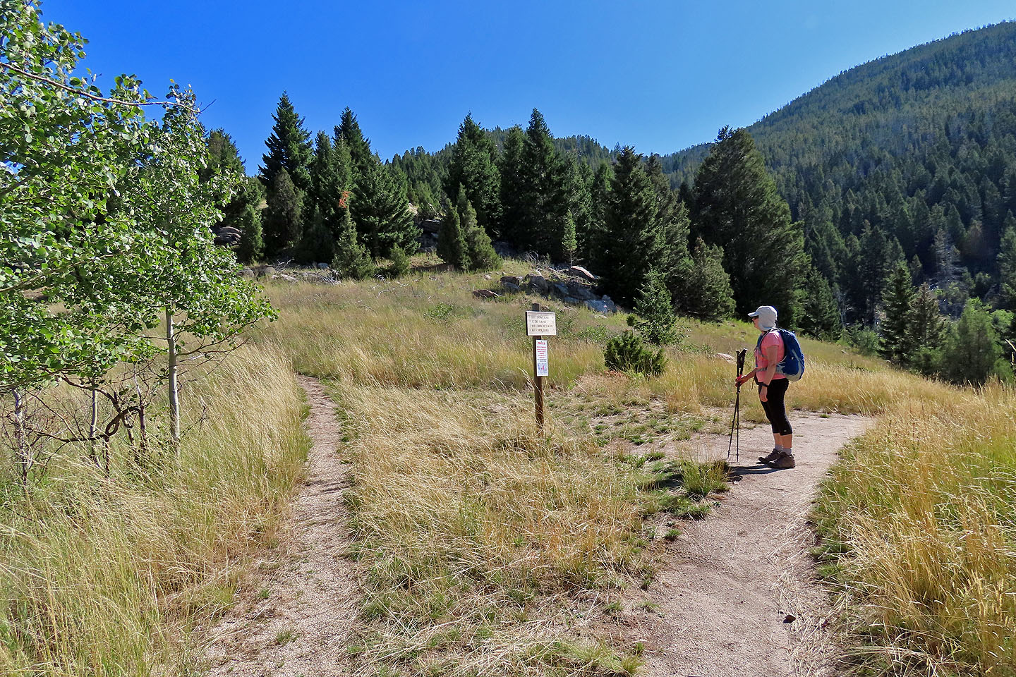
Dinah stops to read a trail sign (mouse over to read)
The trail heads to the bump on the left
Our Lady of the Rockies can be seen on the far left ridgetop
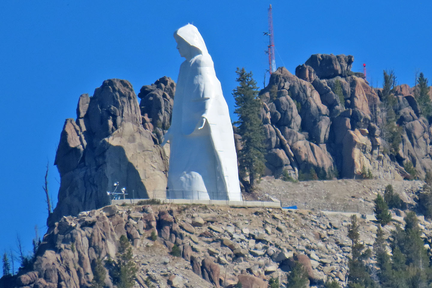 A close look at the 27-metre statue of the Virgin Mary
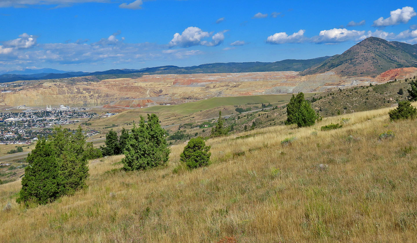 Next to Butte is an open pit copper and molybdenum mine
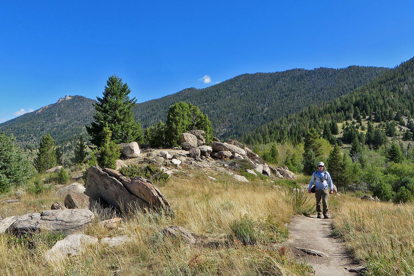
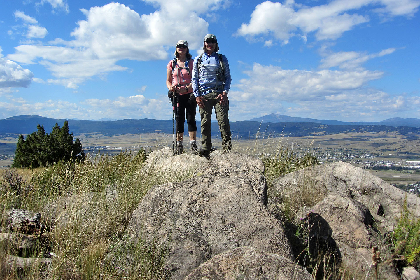 Standing on a high point
 Heading down
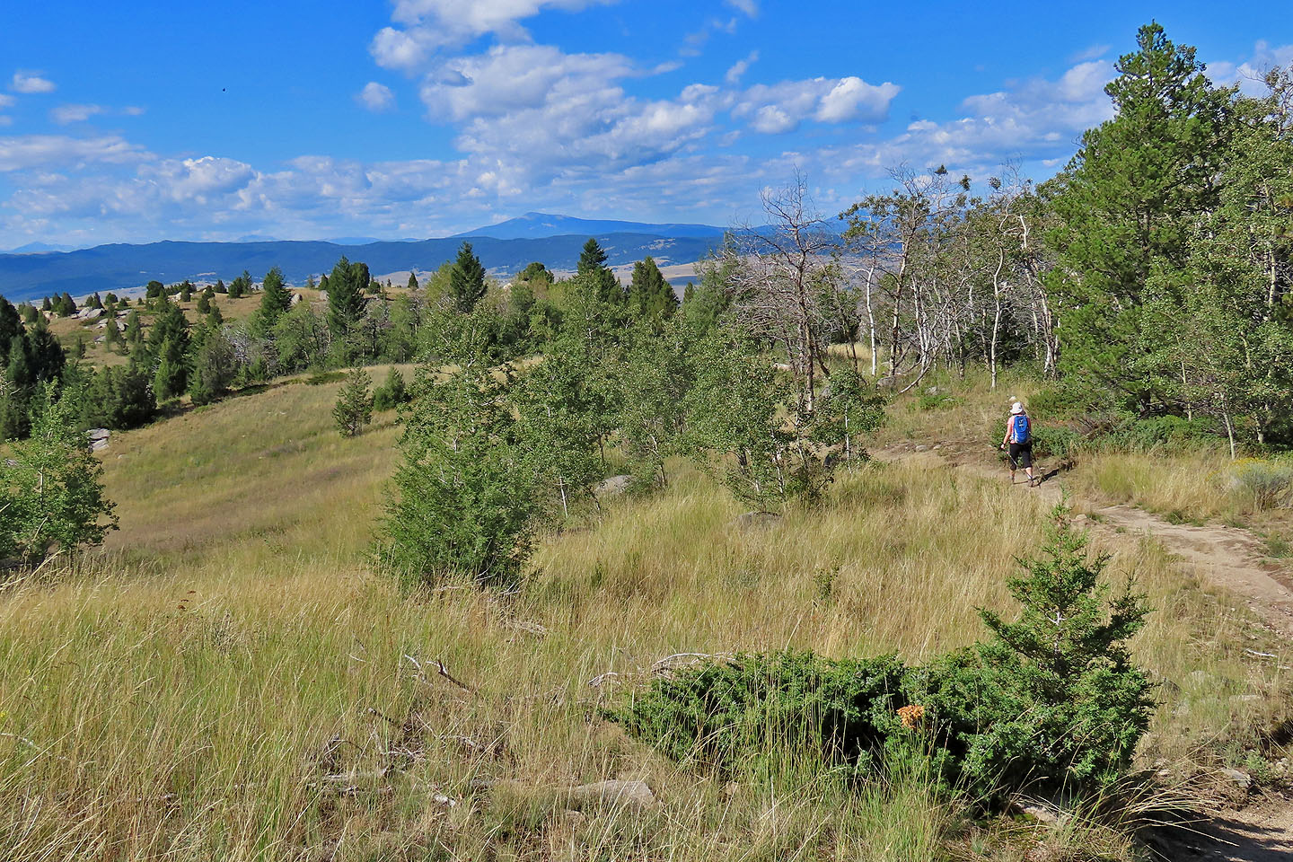
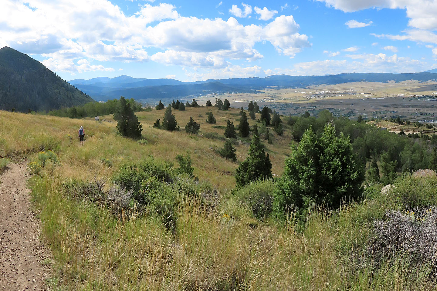 Nice views to the west
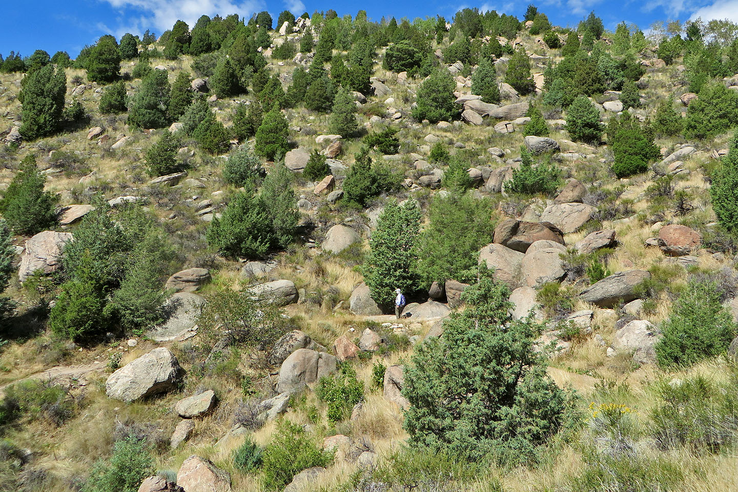
The trail runs through a boulder-strewn slope
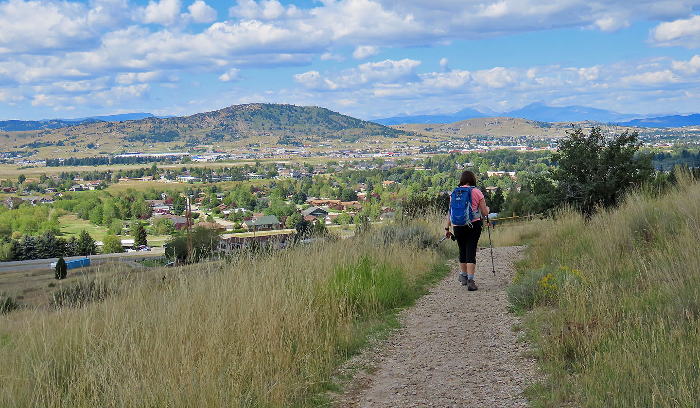 Almost back at the trailhead. The hill in the centre is Big Butte.
 Homestead Topo (4.1 mi, 6555 ft, 942 ft)