bobspirko.ca | Home | Canada Trips | US Trips | Hiking | Snowshoeing | MAP | About
Pole Canyon Ridge
Caribou-Targhee National Forest, Idaho
September 7, 2023
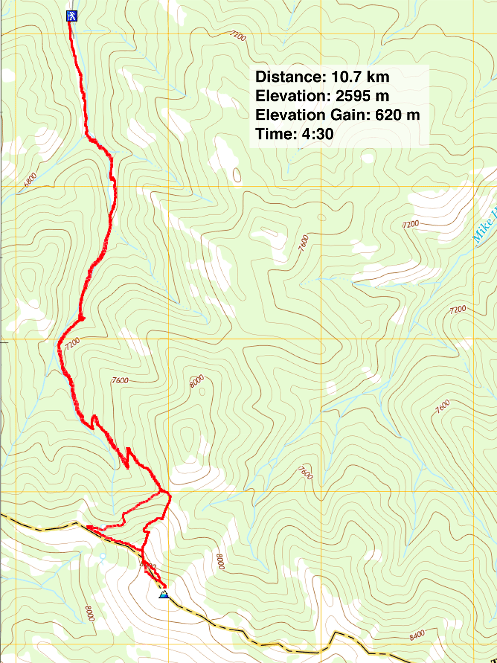
Distance: 10.7 km (6.6 mi)
Cumulative Elevation Gain: 630 m (2067 ft)
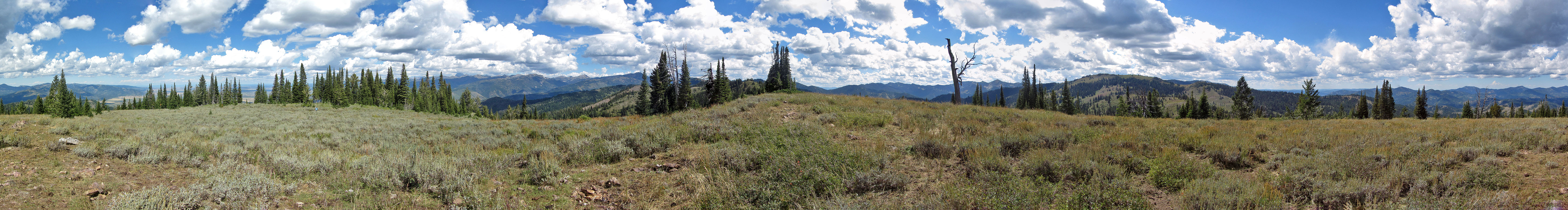
Pole Canyon Ridge is a long ridge accessed by Pole Canyon Trail. Viewed on satellite imagery, it looked like an enticing hike that reached three high points open to the sky, the last being the summit. In reality, the ridge was unattractive and it literally stank.
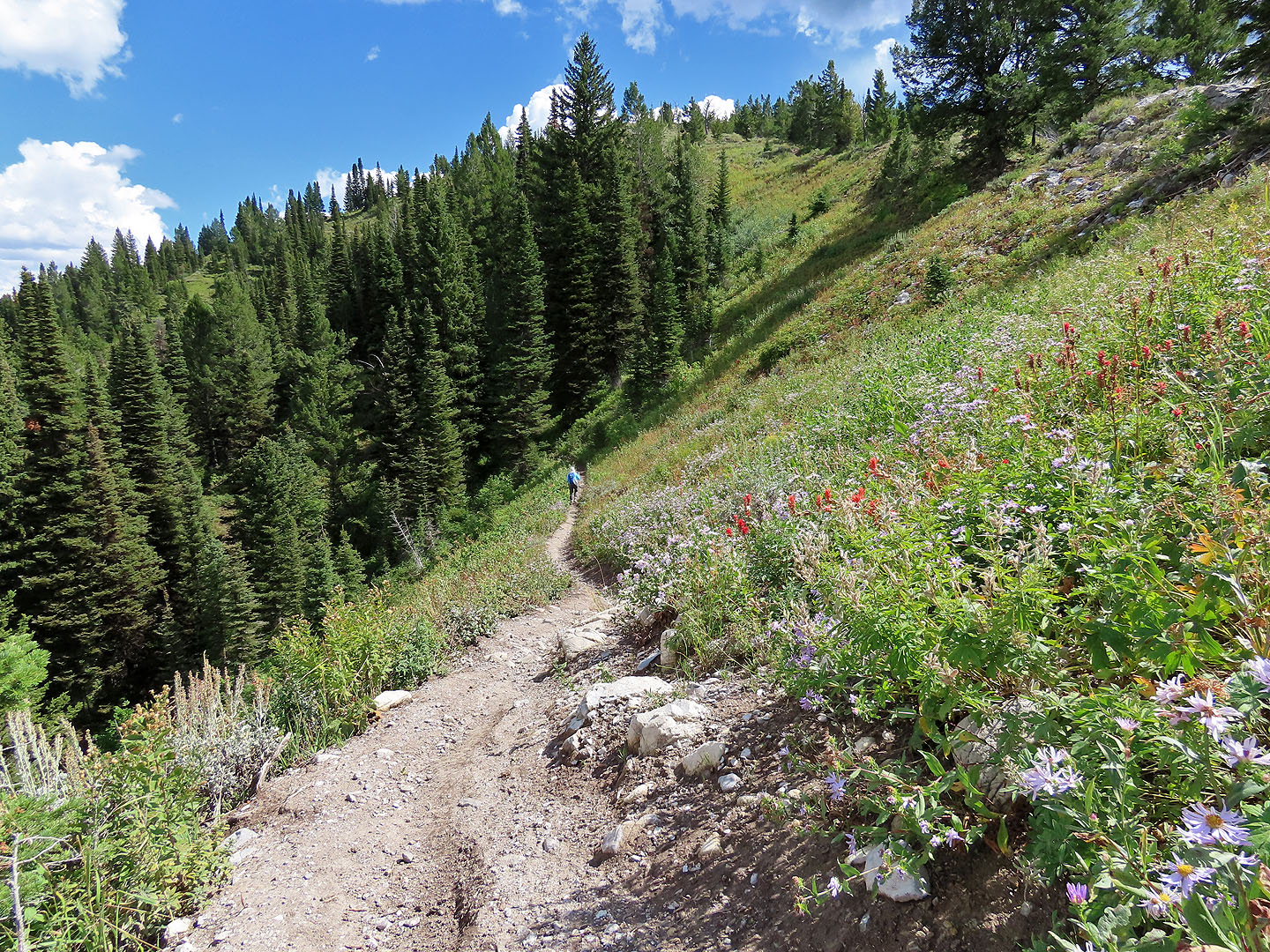
Winding through the forest, Dinah and I found Pole Canyon Trail pleasant, a good way to reach the ridge, although trees hindered views. The trail reaches a saddle, but we took a shortcut to the ridge, turning off before the saddle. We followed a brief trail to a clearing. At least it looked like a clearing on satellite imagery. Instead of a grassy meadow, though, we found knee-high, dense scrub. Fortunately, animal trails helped us to gain the ridge. From there, we followed a rough crest trail.
Before reaching the first high point, however, we were hit with a strong barnyard smell. Sheep or deer droppings were rife on the ridge, every open square foot appeared carpeted with crap. But other animals, perhaps horses or cattle, added to the cause. The result was a nauseating stench. Fortunately it was dry, but in wet weather, you would probably be walking in unbearable muck. Since we were close to the first high point, we soldiered on. We followed the disgusting animal trails through the vegetation to the first high point where we eyed the next two high points. But the combination of the smell, the shit on the trail and the ugly scrub turned us off. We headed back.
We didn't retrace the animal trails back to Pole Canyon Trail. Instead we followed the crest trail to the saddle where we found the top of Pole Canyon Trail. We followed it down to the parking lot, thankful to finish the trip in good air.
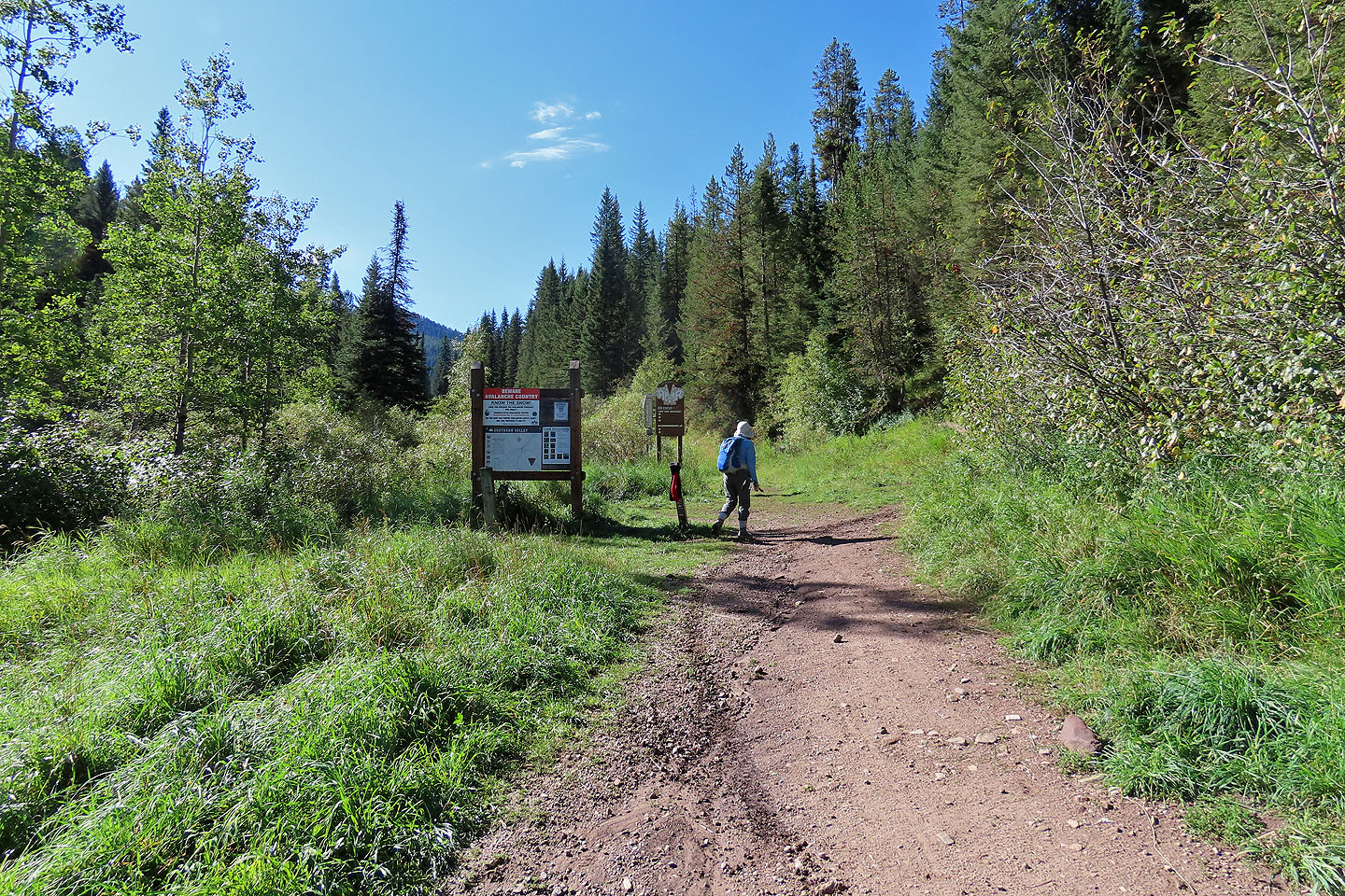
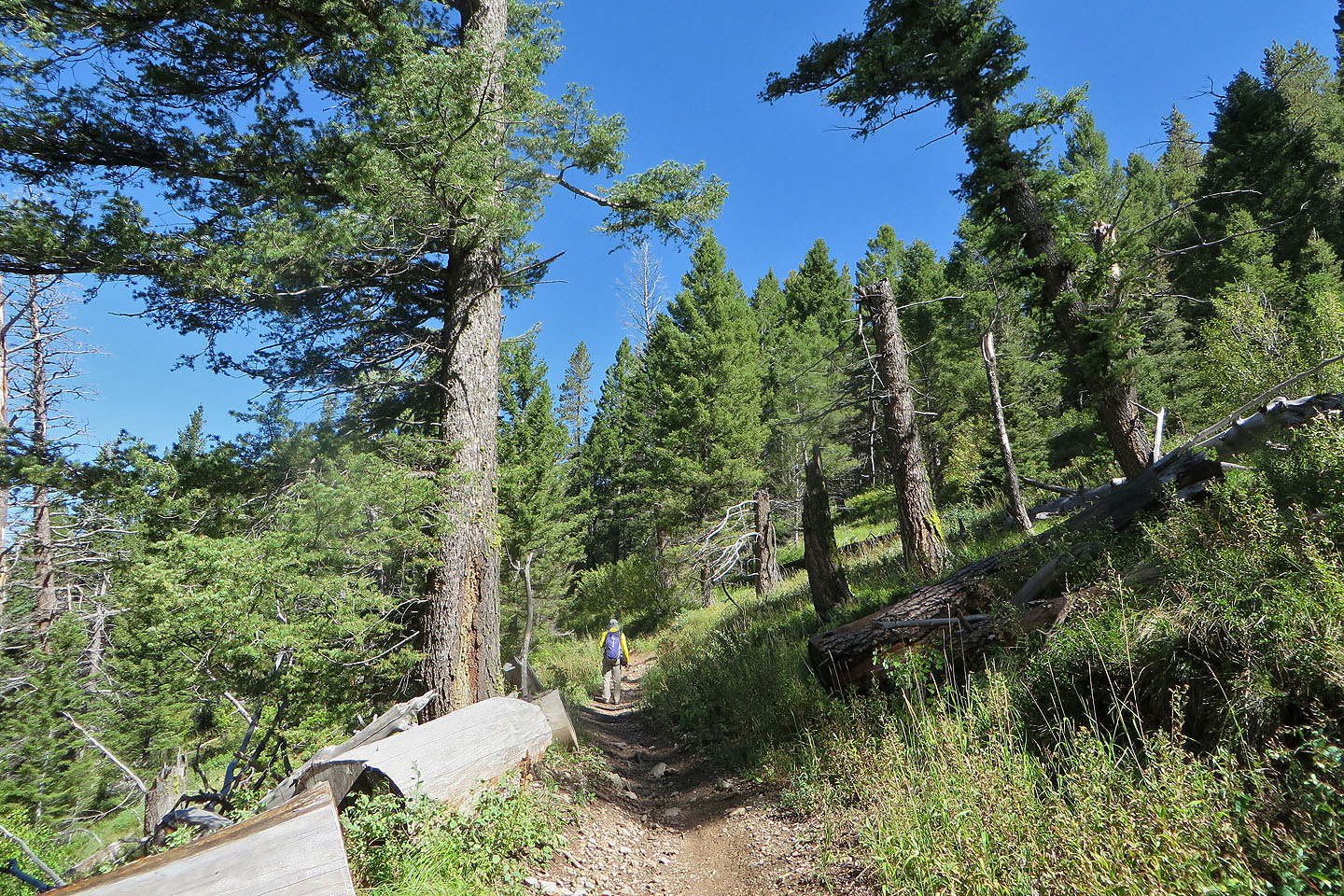
Starting up the trail
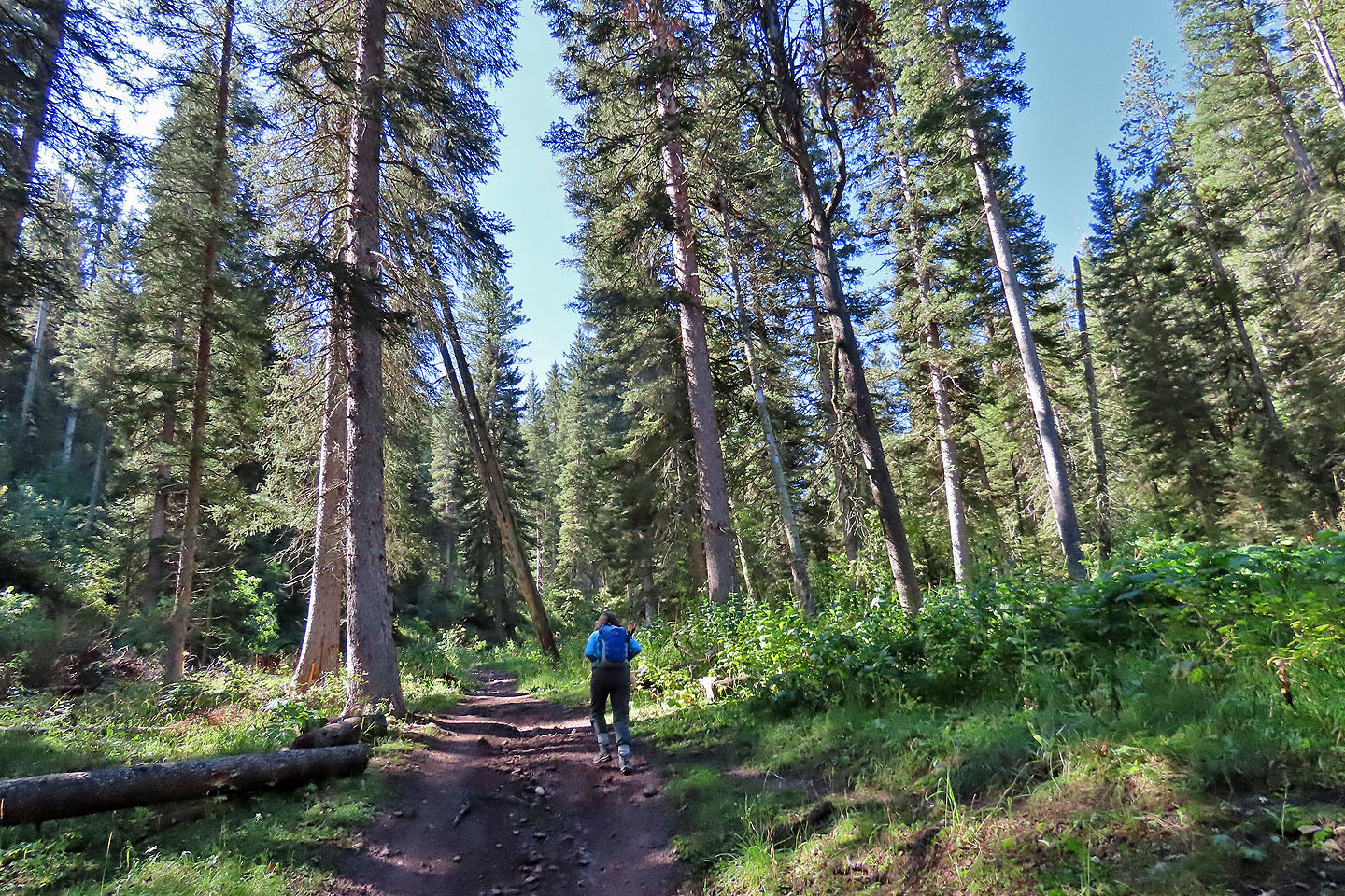
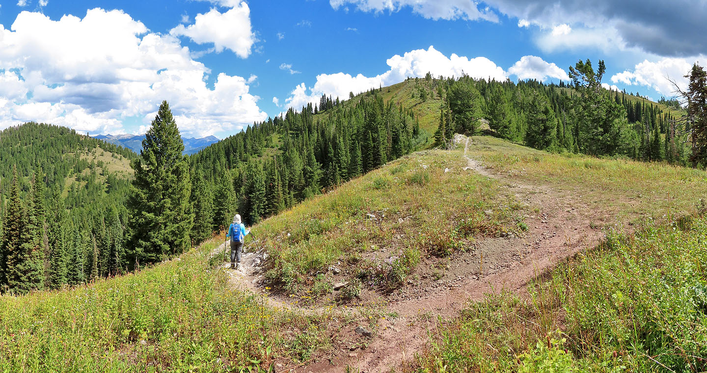
The trail runs through forest until it reaches the ridge
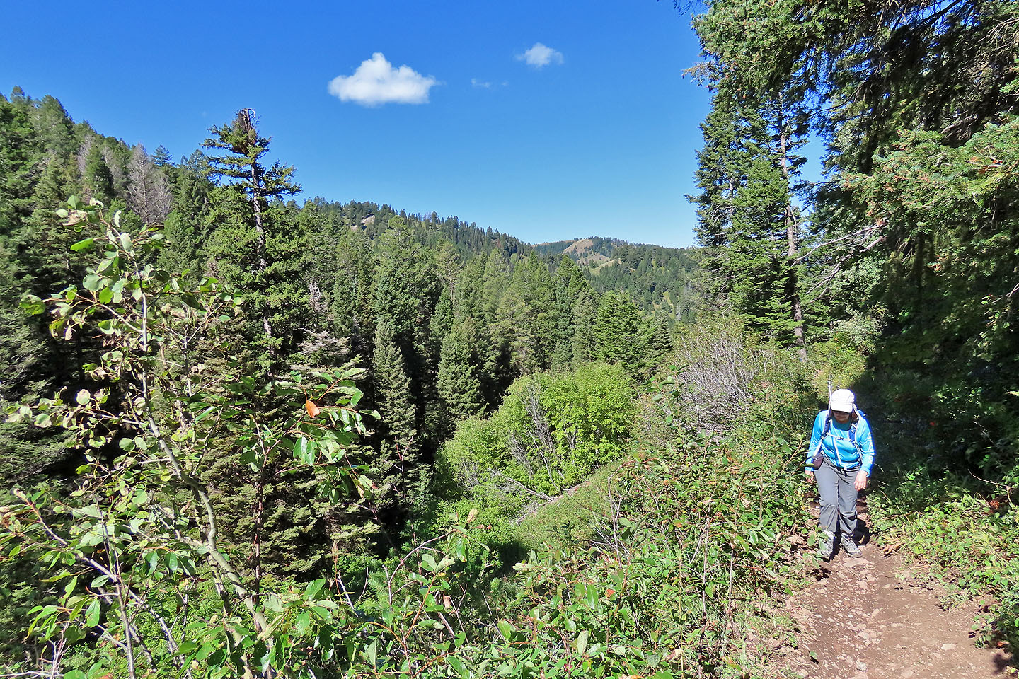
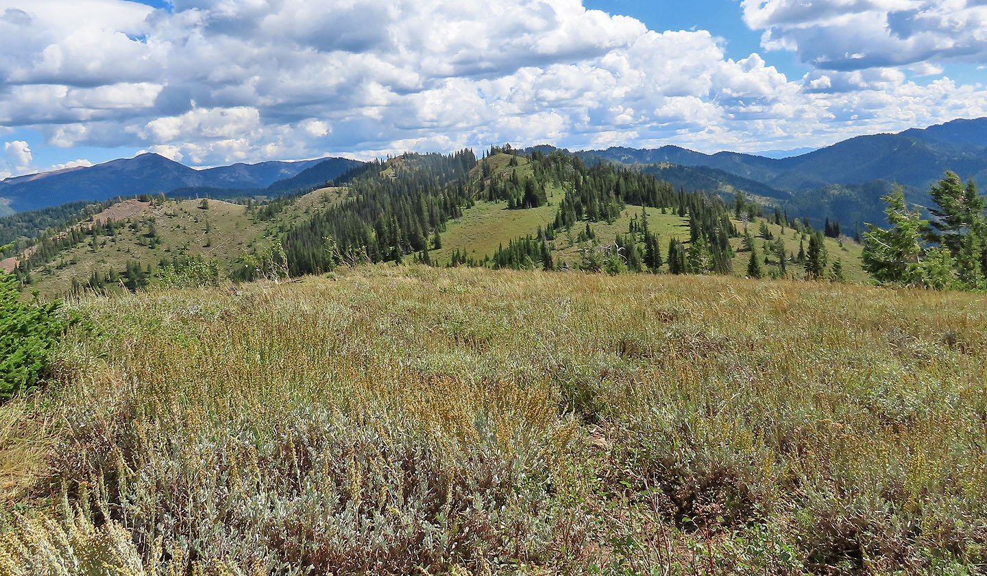
Higher up, there are a couple of breaks in the trees
Hiking up one of the switchbacks
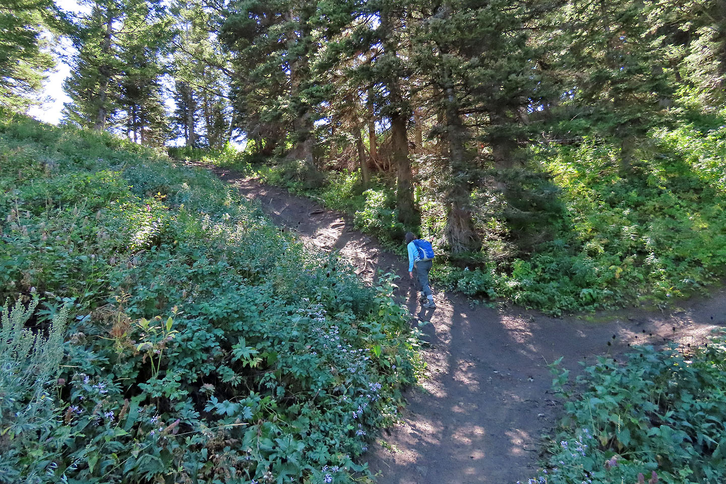
Pole Canyon Trail continues right, but we turned off to take a shortcut
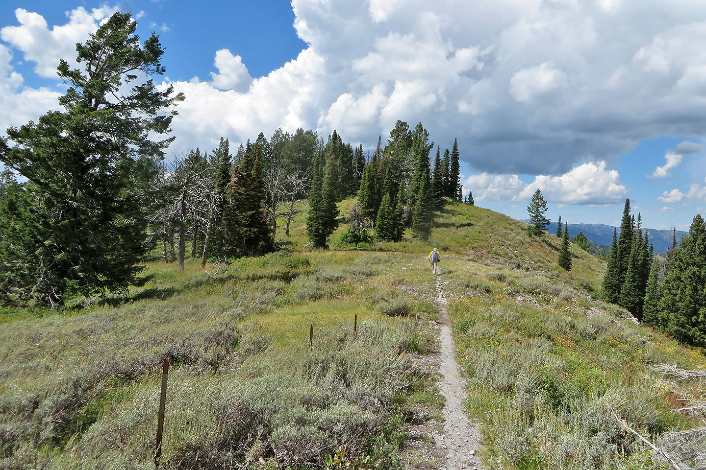
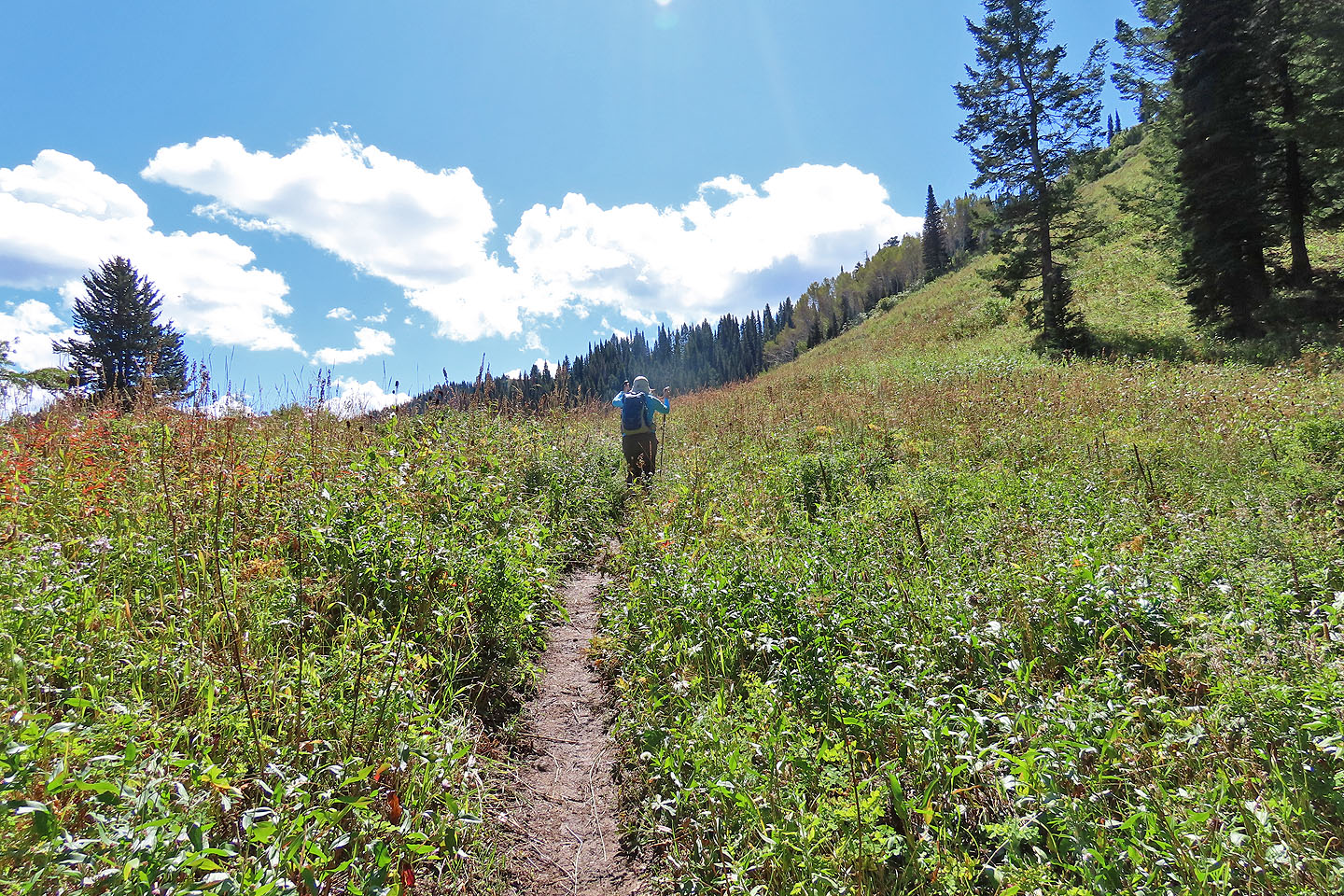 We soon emerged from the trees
 Going up an animal trail
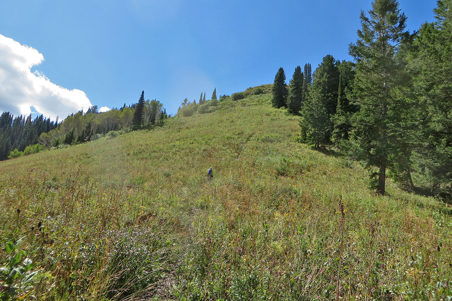
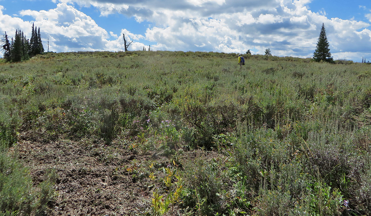
The hill behind us looked like a nice hike
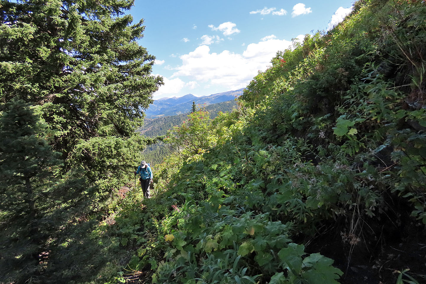
When the slope became steep, we went around it
 Looking back as we neared the ridge crest
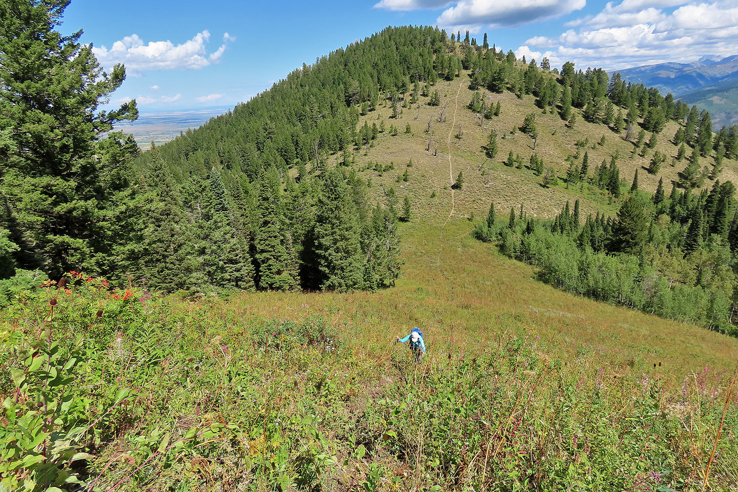
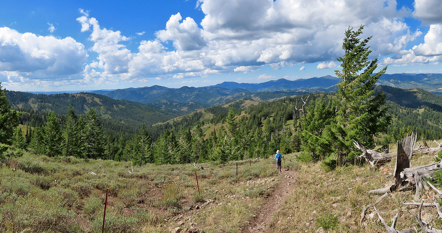
 Following the crest trail
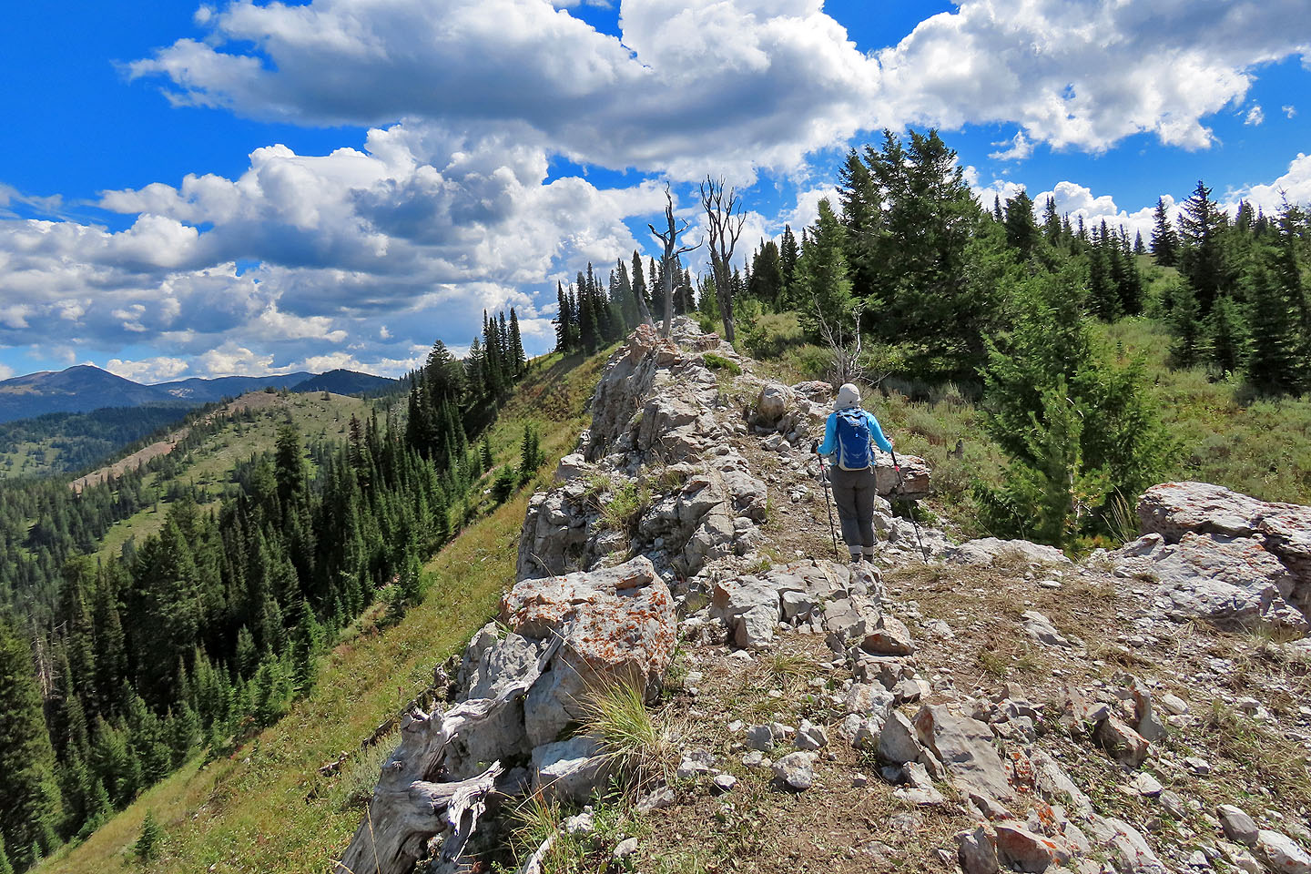 This ridge section smelled the worst
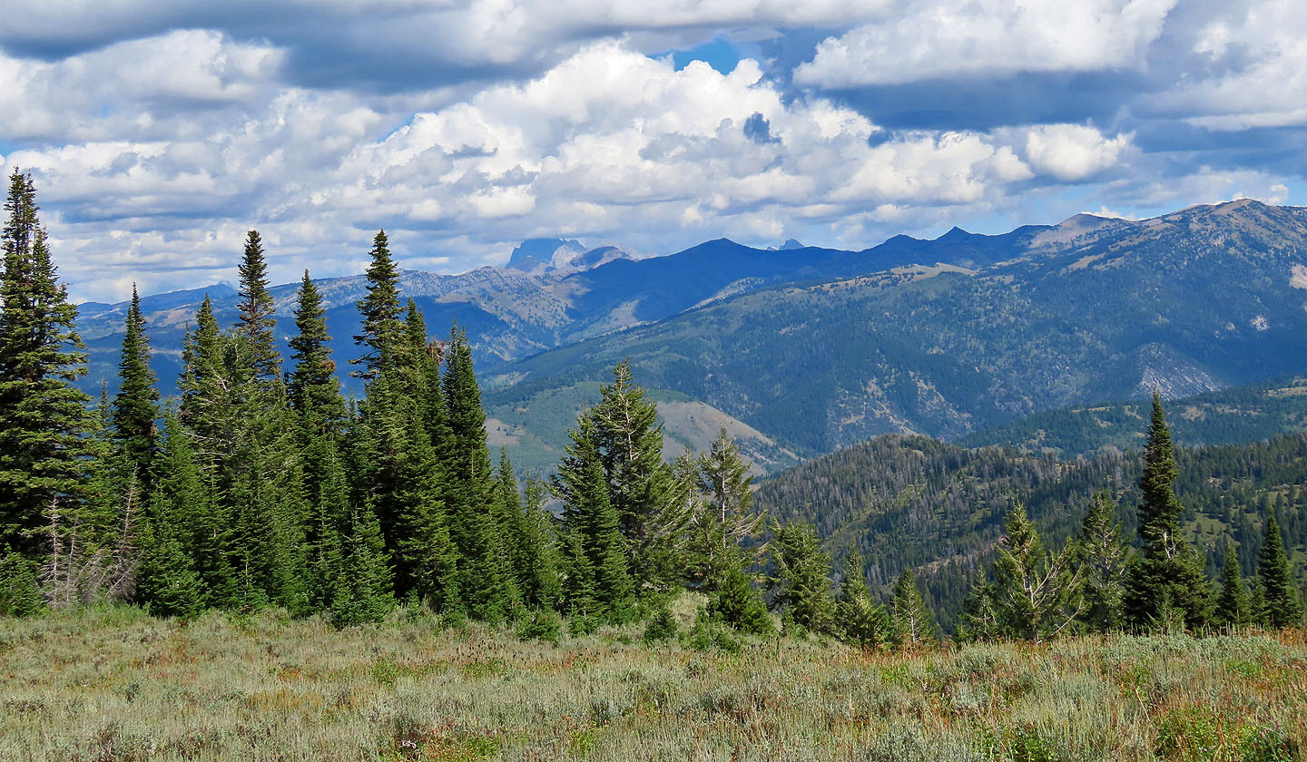
The Tetons were partly hidden in clouds (mouse over for a close-up)
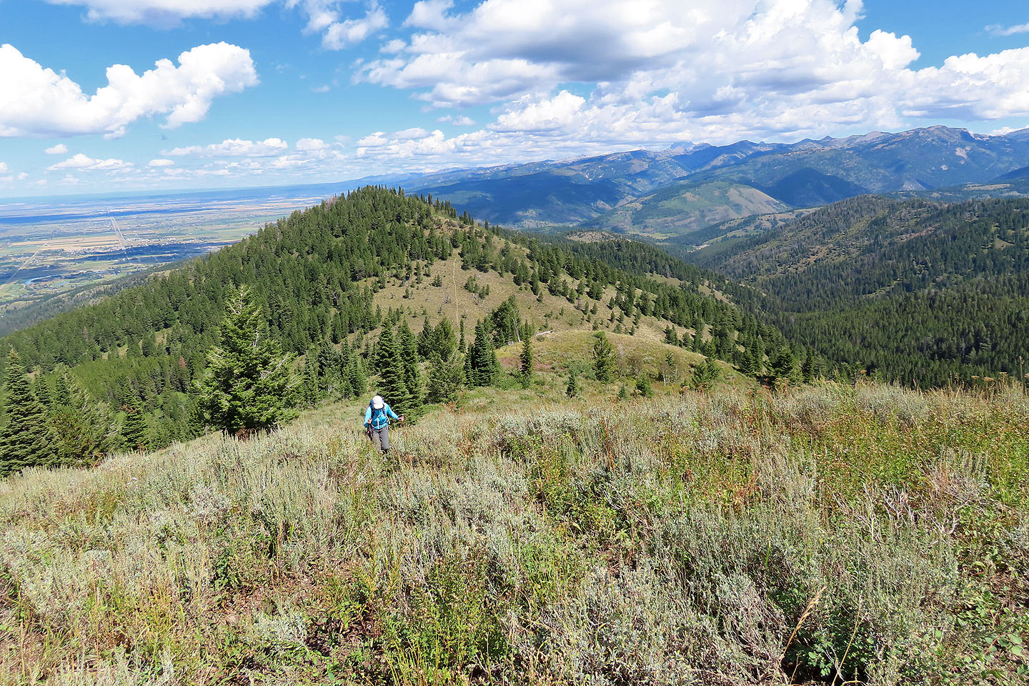
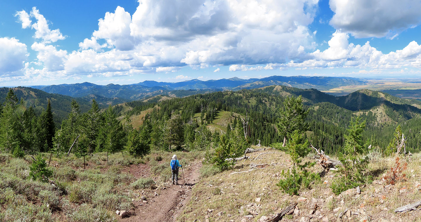
 Heading to the top of the first summit
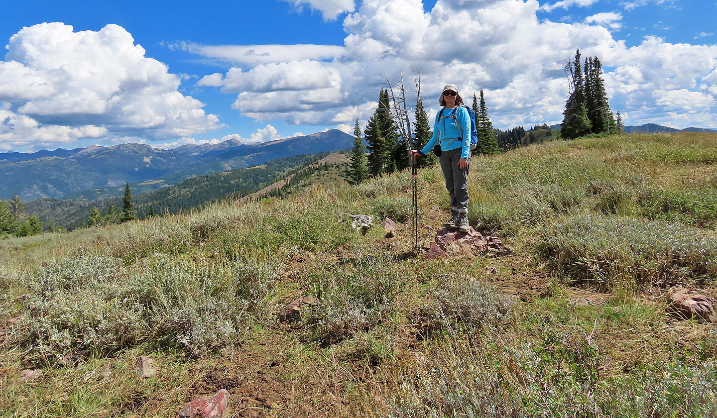 Dinah stands on the summit
 We weren't enticed to continue to the next two high points
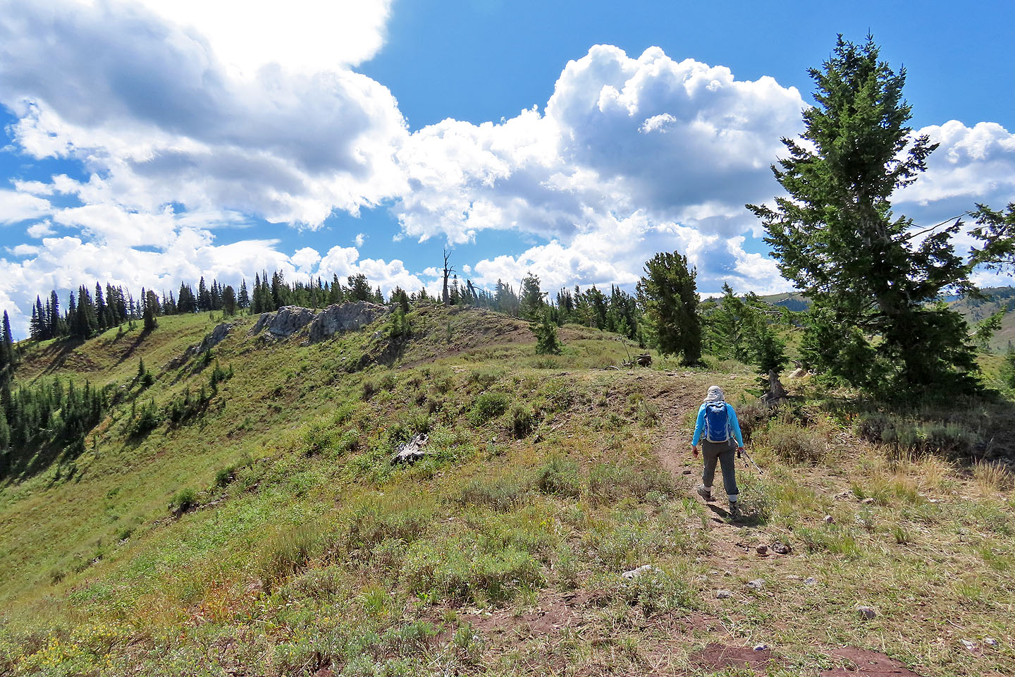
Heading to the saddle where Pole Canyon Trail begins
 Looking down at the saddle
 There's little to see from the saddle
Looking back at the ridge we descended as Dinah starts down Pole Canyon Trail
We'll soon reach the fork where we left the trail earlier
Victor (6.6 mi, 8514 ft, 2034 ft)